Hyak Rd, Chehalis, WA, USA Sonnenaufgang Sonnenuntergang Zeiten
Location: USA > Washington > Lewis County > Chehalis >
Zeitzone:
America/Los_Angeles
Ortszeit:
2024-04-27 10:14:05
Länge:
-122.743449
Breite:
46.5722217
Sonnenaufgang Heute:
05:59:19 AM
Sonnenuntergang Heute:
08:17:20 PM
Tageslänge heute:
14h 18m 1s
Sonnenaufgang morgen:
05:57:44 AM
Sonnenuntergang Morgen:
08:18:39 PM
Tageslänge von morgen:
14h 20m 55s
Alle Termine anzeigen
| Datum | Sonnenaufgang | Sonnenuntergang | Tageslänge |
|---|---|---|---|
| 2024-01-01 | 07:54:58 AM | 04:34:44 PM | 8h 39m 46s |
| 2024-01-02 | 07:54:55 AM | 04:35:43 PM | 8h 40m 48s |
| 2024-01-03 | 07:54:49 AM | 04:36:43 PM | 8h 41m 54s |
| 2024-01-04 | 07:54:41 AM | 04:37:45 PM | 8h 43m 4s |
| 2024-01-05 | 07:54:30 AM | 04:38:49 PM | 8h 44m 19s |
| 2024-01-06 | 07:54:16 AM | 04:39:56 PM | 8h 45m 40s |
| 2024-01-07 | 07:54:00 AM | 04:41:03 PM | 8h 47m 3s |
| 2024-01-08 | 07:53:41 AM | 04:42:13 PM | 8h 48m 32s |
| 2024-01-09 | 07:53:19 AM | 04:43:24 PM | 8h 50m 5s |
| 2024-01-10 | 07:52:54 AM | 04:44:36 PM | 8h 51m 42s |
| 2024-01-11 | 07:52:27 AM | 04:45:51 PM | 8h 53m 24s |
| 2024-01-12 | 07:51:57 AM | 04:47:06 PM | 8h 55m 9s |
| 2024-01-13 | 07:51:25 AM | 04:48:23 PM | 8h 56m 58s |
| 2024-01-14 | 07:50:50 AM | 04:49:41 PM | 8h 58m 51s |
| 2024-01-15 | 07:50:12 AM | 04:51:00 PM | 9h 0m 48s |
| 2024-01-16 | 07:49:32 AM | 04:52:21 PM | 9h 2m 49s |
| 2024-01-17 | 07:48:50 AM | 04:53:43 PM | 9h 4m 53s |
| 2024-01-18 | 07:48:05 AM | 04:55:05 PM | 9h 7m 0s |
| 2024-01-19 | 07:47:17 AM | 04:56:29 PM | 9h 9m 12s |
| 2024-01-20 | 07:46:27 AM | 04:57:53 PM | 9h 11m 26s |
| 2024-01-21 | 07:45:35 AM | 04:59:18 PM | 9h 13m 43s |
| 2024-01-22 | 07:44:41 AM | 05:00:44 PM | 9h 16m 3s |
| 2024-01-23 | 07:43:44 AM | 05:02:11 PM | 9h 18m 27s |
| 2024-01-24 | 07:42:45 AM | 05:03:38 PM | 9h 20m 53s |
| 2024-01-25 | 07:41:44 AM | 05:05:06 PM | 9h 23m 22s |
| 2024-01-26 | 07:40:41 AM | 05:06:34 PM | 9h 25m 53s |
| 2024-01-27 | 07:39:36 AM | 05:08:03 PM | 9h 28m 27s |
| 2024-01-28 | 07:38:29 AM | 05:09:33 PM | 9h 31m 4s |
| 2024-01-29 | 07:37:19 AM | 05:11:02 PM | 9h 33m 43s |
| 2024-01-30 | 07:36:08 AM | 05:12:32 PM | 9h 36m 24s |
| 2024-01-31 | 07:34:55 AM | 05:14:03 PM | 9h 39m 8s |
| 2024-02-01 | 07:33:40 AM | 05:15:33 PM | 9h 41m 53s |
| 2024-02-02 | 07:32:23 AM | 05:17:04 PM | 9h 44m 41s |
| 2024-02-03 | 07:31:04 AM | 05:18:35 PM | 9h 47m 31s |
| 2024-02-04 | 07:29:44 AM | 05:20:06 PM | 9h 50m 22s |
| 2024-02-05 | 07:28:22 AM | 05:21:37 PM | 9h 53m 15s |
| 2024-02-06 | 07:26:58 AM | 05:23:08 PM | 9h 56m 10s |
| 2024-02-07 | 07:25:33 AM | 05:24:39 PM | 9h 59m 6s |
| 2024-02-08 | 07:24:06 AM | 05:26:10 PM | 10h 2m 4s |
| 2024-02-09 | 07:22:37 AM | 05:27:41 PM | 10h 5m 4s |
| 2024-02-10 | 07:21:07 AM | 05:29:12 PM | 10h 8m 5s |
| 2024-02-11 | 07:19:36 AM | 05:30:43 PM | 10h 11m 7s |
| 2024-02-12 | 07:18:03 AM | 05:32:14 PM | 10h 14m 11s |
| 2024-02-13 | 07:16:29 AM | 05:33:45 PM | 10h 17m 16s |
| 2024-02-14 | 07:14:54 AM | 05:35:15 PM | 10h 20m 21s |
| 2024-02-15 | 07:13:17 AM | 05:36:45 PM | 10h 23m 28s |
| 2024-02-16 | 07:11:39 AM | 05:38:16 PM | 10h 26m 37s |
| 2024-02-17 | 07:10:00 AM | 05:39:45 PM | 10h 29m 45s |
| 2024-02-18 | 07:08:20 AM | 05:41:15 PM | 10h 32m 55s |
| 2024-02-19 | 07:06:39 AM | 05:42:45 PM | 10h 36m 6s |
| 2024-02-20 | 07:04:56 AM | 05:44:14 PM | 10h 39m 18s |
| 2024-02-21 | 07:03:13 AM | 05:45:43 PM | 10h 42m 30s |
| 2024-02-22 | 07:01:28 AM | 05:47:12 PM | 10h 45m 44s |
| 2024-02-23 | 06:59:43 AM | 05:48:40 PM | 10h 48m 57s |
| 2024-02-24 | 06:57:57 AM | 05:50:08 PM | 10h 52m 11s |
| 2024-02-25 | 06:56:09 AM | 05:51:36 PM | 10h 55m 27s |
| 2024-02-26 | 06:54:21 AM | 05:53:04 PM | 10h 58m 43s |
| 2024-02-27 | 06:52:32 AM | 05:54:31 PM | 11h 1m 59s |
| 2024-02-28 | 06:50:43 AM | 05:55:58 PM | 11h 5m 15s |
| 2024-02-29 | 06:48:52 AM | 05:57:25 PM | 11h 8m 33s |
| 2024-03-01 | 06:47:01 AM | 05:58:51 PM | 11h 11m 50s |
| 2024-03-02 | 06:45:10 AM | 06:00:18 PM | 11h 15m 8s |
| 2024-03-03 | 06:43:17 AM | 06:01:43 PM | 11h 18m 26s |
| 2024-03-04 | 06:41:24 AM | 06:03:09 PM | 11h 21m 45s |
| 2024-03-05 | 06:39:31 AM | 06:04:35 PM | 11h 25m 4s |
| 2024-03-06 | 06:37:37 AM | 06:06:00 PM | 11h 28m 23s |
| 2024-03-07 | 06:35:42 AM | 06:07:25 PM | 11h 31m 43s |
| 2024-03-08 | 06:33:47 AM | 06:08:49 PM | 11h 35m 2s |
| 2024-03-09 | 06:31:52 AM | 06:10:14 PM | 11h 38m 22s |
| 2024-03-10 | 07:30:01 AM | 07:11:34 PM | 11h 41m 33s |
| 2024-03-11 | 07:28:05 AM | 07:12:58 PM | 11h 44m 53s |
| 2024-03-12 | 07:26:08 AM | 07:14:22 PM | 11h 48m 14s |
| 2024-03-13 | 07:24:11 AM | 07:15:45 PM | 11h 51m 34s |
| 2024-03-14 | 07:22:14 AM | 07:17:09 PM | 11h 54m 55s |
| 2024-03-15 | 07:20:17 AM | 07:18:32 PM | 11h 58m 15s |
| 2024-03-16 | 07:18:20 AM | 07:19:55 PM | 12h 1m 35s |
| 2024-03-17 | 07:16:22 AM | 07:21:18 PM | 12h 4m 56s |
| 2024-03-18 | 07:14:24 AM | 07:22:40 PM | 12h 8m 16s |
| 2024-03-19 | 07:12:26 AM | 07:24:03 PM | 12h 11m 37s |
| 2024-03-20 | 07:10:28 AM | 07:25:25 PM | 12h 14m 57s |
| 2024-03-21 | 07:08:30 AM | 07:26:47 PM | 12h 18m 17s |
| 2024-03-22 | 07:06:32 AM | 07:28:09 PM | 12h 21m 37s |
| 2024-03-23 | 07:04:34 AM | 07:29:31 PM | 12h 24m 57s |
| 2024-03-24 | 07:02:36 AM | 07:30:53 PM | 12h 28m 17s |
| 2024-03-25 | 07:00:38 AM | 07:32:15 PM | 12h 31m 37s |
| 2024-03-26 | 06:58:40 AM | 07:33:36 PM | 12h 34m 56s |
| 2024-03-27 | 06:56:42 AM | 07:34:58 PM | 12h 38m 16s |
| 2024-03-28 | 06:54:45 AM | 07:36:19 PM | 12h 41m 34s |
| 2024-03-29 | 06:52:47 AM | 07:37:41 PM | 12h 44m 54s |
| 2024-03-30 | 06:50:50 AM | 07:39:02 PM | 12h 48m 12s |
| 2024-03-31 | 06:48:53 AM | 07:40:24 PM | 12h 51m 31s |
| 2024-04-01 | 06:46:57 AM | 07:41:45 PM | 12h 54m 48s |
| 2024-04-02 | 06:45:00 AM | 07:43:06 PM | 12h 58m 6s |
| 2024-04-03 | 06:43:05 AM | 07:44:27 PM | 13h 1m 22s |
| 2024-04-04 | 06:41:09 AM | 07:45:49 PM | 13h 4m 40s |
| 2024-04-05 | 06:39:14 AM | 07:47:10 PM | 13h 7m 56s |
| 2024-04-06 | 06:37:19 AM | 07:48:31 PM | 13h 11m 12s |
| 2024-04-07 | 06:35:25 AM | 07:49:52 PM | 13h 14m 27s |
| 2024-04-08 | 06:33:32 AM | 07:51:13 PM | 13h 17m 41s |
| 2024-04-09 | 06:31:38 AM | 07:52:34 PM | 13h 20m 56s |
| 2024-04-10 | 06:29:46 AM | 07:53:55 PM | 13h 24m 9s |
| 2024-04-11 | 06:27:54 AM | 07:55:17 PM | 13h 27m 23s |
| 2024-04-12 | 06:26:03 AM | 07:56:38 PM | 13h 30m 35s |
| 2024-04-13 | 06:24:12 AM | 07:57:59 PM | 13h 33m 47s |
| 2024-04-14 | 06:22:22 AM | 07:59:20 PM | 13h 36m 58s |
| 2024-04-15 | 06:20:33 AM | 08:00:41 PM | 13h 40m 8s |
| 2024-04-16 | 06:18:45 AM | 08:02:02 PM | 13h 43m 17s |
| 2024-04-17 | 06:16:58 AM | 08:03:23 PM | 13h 46m 25s |
| 2024-04-18 | 06:15:11 AM | 08:04:44 PM | 13h 49m 33s |
| 2024-04-19 | 06:13:25 AM | 08:06:05 PM | 13h 52m 40s |
| 2024-04-20 | 06:11:40 AM | 08:07:26 PM | 13h 55m 46s |
| 2024-04-21 | 06:09:56 AM | 08:08:47 PM | 13h 58m 51s |
| 2024-04-22 | 06:08:14 AM | 08:10:07 PM | 14h 1m 53s |
| 2024-04-23 | 06:06:32 AM | 08:11:28 PM | 14h 4m 56s |
| 2024-04-24 | 06:04:51 AM | 08:12:49 PM | 14h 7m 58s |
| 2024-04-25 | 06:03:11 AM | 08:14:09 PM | 14h 10m 58s |
| 2024-04-26 | 06:01:33 AM | 08:15:29 PM | 14h 13m 56s |
| 2024-04-27 | 05:59:55 AM | 08:16:50 PM | 14h 16m 55s |
| 2024-04-28 | 05:58:19 AM | 08:18:09 PM | 14h 19m 50s |
| 2024-04-29 | 05:56:44 AM | 08:19:29 PM | 14h 22m 45s |
| 2024-04-30 | 05:55:11 AM | 08:20:49 PM | 14h 25m 38s |
| 2024-05-01 | 05:53:39 AM | 08:22:08 PM | 14h 28m 29s |
| 2024-05-02 | 05:52:08 AM | 08:23:27 PM | 14h 31m 19s |
| 2024-05-03 | 05:50:38 AM | 08:24:46 PM | 14h 34m 8s |
| 2024-05-04 | 05:49:10 AM | 08:26:04 PM | 14h 36m 54s |
| 2024-05-05 | 05:47:44 AM | 08:27:22 PM | 14h 39m 38s |
| 2024-05-06 | 05:46:19 AM | 08:28:40 PM | 14h 42m 21s |
| 2024-05-07 | 05:44:55 AM | 08:29:57 PM | 14h 45m 2s |
| 2024-05-08 | 05:43:34 AM | 08:31:14 PM | 14h 47m 40s |
| 2024-05-09 | 05:42:13 AM | 08:32:30 PM | 14h 50m 17s |
| 2024-05-10 | 05:40:55 AM | 08:33:46 PM | 14h 52m 51s |
| 2024-05-11 | 05:39:38 AM | 08:35:01 PM | 14h 55m 23s |
| 2024-05-12 | 05:38:23 AM | 08:36:15 PM | 14h 57m 52s |
| 2024-05-13 | 05:37:10 AM | 08:37:29 PM | 15h 0m 19s |
| 2024-05-14 | 05:35:58 AM | 08:38:42 PM | 15h 2m 44s |
| 2024-05-15 | 05:34:49 AM | 08:39:55 PM | 15h 5m 6s |
| 2024-05-16 | 05:33:41 AM | 08:41:07 PM | 15h 7m 26s |
| 2024-05-17 | 05:32:35 AM | 08:42:17 PM | 15h 9m 42s |
| 2024-05-18 | 05:31:32 AM | 08:43:27 PM | 15h 11m 55s |
| 2024-05-19 | 05:30:30 AM | 08:44:36 PM | 15h 14m 6s |
| 2024-05-20 | 05:29:30 AM | 08:45:44 PM | 15h 16m 14s |
| 2024-05-21 | 05:28:33 AM | 08:46:51 PM | 15h 18m 18s |
| 2024-05-22 | 05:27:37 AM | 08:47:57 PM | 15h 20m 20s |
| 2024-05-23 | 05:26:44 AM | 08:49:02 PM | 15h 22m 18s |
| 2024-05-24 | 05:25:53 AM | 08:50:05 PM | 15h 24m 12s |
| 2024-05-25 | 05:25:04 AM | 08:51:08 PM | 15h 26m 4s |
| 2024-05-26 | 05:24:17 AM | 08:52:09 PM | 15h 27m 52s |
| 2024-05-27 | 05:23:33 AM | 08:53:08 PM | 15h 29m 35s |
| 2024-05-28 | 05:22:51 AM | 08:54:07 PM | 15h 31m 16s |
| 2024-05-29 | 05:22:11 AM | 08:55:03 PM | 15h 32m 52s |
| 2024-05-30 | 05:21:34 AM | 08:55:59 PM | 15h 34m 25s |
| 2024-05-31 | 05:20:59 AM | 08:56:52 PM | 15h 35m 53s |
| 2024-06-01 | 05:20:26 AM | 08:57:44 PM | 15h 37m 18s |
| 2024-06-02 | 05:19:56 AM | 08:58:35 PM | 15h 38m 39s |
| 2024-06-03 | 05:19:28 AM | 08:59:23 PM | 15h 39m 55s |
| 2024-06-04 | 05:19:02 AM | 09:00:10 PM | 15h 41m 8s |
| 2024-06-05 | 05:18:40 AM | 09:00:55 PM | 15h 42m 15s |
| 2024-06-06 | 05:18:19 AM | 09:01:38 PM | 15h 43m 19s |
| 2024-06-07 | 05:18:01 AM | 09:02:20 PM | 15h 44m 19s |
| 2024-06-08 | 05:17:45 AM | 09:02:59 PM | 15h 45m 14s |
| 2024-06-09 | 05:17:32 AM | 09:03:36 PM | 15h 46m 4s |
| 2024-06-10 | 05:17:22 AM | 09:04:11 PM | 15h 46m 49s |
| 2024-06-11 | 05:17:14 AM | 09:04:44 PM | 15h 47m 30s |
| 2024-06-12 | 05:17:08 AM | 09:05:15 PM | 15h 48m 7s |
| 2024-06-13 | 05:17:05 AM | 09:05:44 PM | 15h 48m 39s |
| 2024-06-14 | 05:17:04 AM | 09:06:10 PM | 15h 49m 6s |
| 2024-06-15 | 05:17:06 AM | 09:06:35 PM | 15h 49m 29s |
| 2024-06-16 | 05:17:10 AM | 09:06:56 PM | 15h 49m 46s |
| 2024-06-17 | 05:17:16 AM | 09:07:16 PM | 15h 50m 0s |
| 2024-06-18 | 05:17:25 AM | 09:07:33 PM | 15h 50m 8s |
| 2024-06-19 | 05:17:37 AM | 09:07:48 PM | 15h 50m 11s |
| 2024-06-20 | 05:17:50 AM | 09:08:00 PM | 15h 50m 10s |
| 2024-06-21 | 05:18:06 AM | 09:08:10 PM | 15h 50m 4s |
| 2024-06-22 | 05:18:25 AM | 09:08:18 PM | 15h 49m 53s |
| 2024-06-23 | 05:18:45 AM | 09:08:23 PM | 15h 49m 38s |
| 2024-06-24 | 05:19:08 AM | 09:08:26 PM | 15h 49m 18s |
| 2024-06-25 | 05:19:33 AM | 09:08:26 PM | 15h 48m 53s |
| 2024-06-26 | 05:20:01 AM | 09:08:23 PM | 15h 48m 22s |
| 2024-06-27 | 05:20:30 AM | 09:08:18 PM | 15h 47m 48s |
| 2024-06-28 | 05:21:01 AM | 09:08:11 PM | 15h 47m 10s |
| 2024-06-29 | 05:21:35 AM | 09:08:01 PM | 15h 46m 26s |
| 2024-06-30 | 05:22:11 AM | 09:07:48 PM | 15h 45m 37s |
| 2024-07-01 | 05:22:48 AM | 09:07:33 PM | 15h 44m 45s |
| 2024-07-02 | 05:23:27 AM | 09:07:15 PM | 15h 43m 48s |
| 2024-07-03 | 05:24:09 AM | 09:06:55 PM | 15h 42m 46s |
| 2024-07-04 | 05:24:52 AM | 09:06:33 PM | 15h 41m 41s |
| 2024-07-05 | 05:25:37 AM | 09:06:08 PM | 15h 40m 31s |
| 2024-07-06 | 05:26:23 AM | 09:05:40 PM | 15h 39m 17s |
| 2024-07-07 | 05:27:12 AM | 09:05:10 PM | 15h 37m 58s |
| 2024-07-08 | 05:28:02 AM | 09:04:38 PM | 15h 36m 36s |
| 2024-07-09 | 05:28:53 AM | 09:04:03 PM | 15h 35m 10s |
| 2024-07-10 | 05:29:46 AM | 09:03:26 PM | 15h 33m 40s |
| 2024-07-11 | 05:30:40 AM | 09:02:46 PM | 15h 32m 6s |
| 2024-07-12 | 05:31:36 AM | 09:02:04 PM | 15h 30m 28s |
| 2024-07-13 | 05:32:33 AM | 09:01:20 PM | 15h 28m 47s |
| 2024-07-14 | 05:33:32 AM | 09:00:33 PM | 15h 27m 1s |
| 2024-07-15 | 05:34:32 AM | 08:59:44 PM | 15h 25m 12s |
| 2024-07-16 | 05:35:33 AM | 08:58:53 PM | 15h 23m 20s |
| 2024-07-17 | 05:36:35 AM | 08:58:00 PM | 15h 21m 25s |
| 2024-07-18 | 05:37:38 AM | 08:57:04 PM | 15h 19m 26s |
| 2024-07-19 | 05:38:42 AM | 08:56:06 PM | 15h 17m 24s |
| 2024-07-20 | 05:39:47 AM | 08:55:06 PM | 15h 15m 19s |
| 2024-07-21 | 05:40:53 AM | 08:54:05 PM | 15h 13m 12s |
| 2024-07-22 | 05:42:00 AM | 08:53:01 PM | 15h 11m 1s |
| 2024-07-23 | 05:43:08 AM | 08:51:55 PM | 15h 8m 47s |
| 2024-07-24 | 05:44:16 AM | 08:50:47 PM | 15h 6m 31s |
| 2024-07-25 | 05:45:26 AM | 08:49:37 PM | 15h 4m 11s |
| 2024-07-26 | 05:46:36 AM | 08:48:25 PM | 15h 1m 49s |
| 2024-07-27 | 05:47:46 AM | 08:47:12 PM | 14h 59m 26s |
| 2024-07-28 | 05:48:57 AM | 08:45:56 PM | 14h 56m 59s |
| 2024-07-29 | 05:50:09 AM | 08:44:39 PM | 14h 54m 30s |
| 2024-07-30 | 05:51:22 AM | 08:43:20 PM | 14h 51m 58s |
| 2024-07-31 | 05:52:34 AM | 08:42:00 PM | 14h 49m 26s |
| 2024-08-01 | 05:53:48 AM | 08:40:37 PM | 14h 46m 49s |
| 2024-08-02 | 05:55:01 AM | 08:39:13 PM | 14h 44m 12s |
| 2024-08-03 | 05:56:15 AM | 08:37:48 PM | 14h 41m 33s |
| 2024-08-04 | 05:57:30 AM | 08:36:21 PM | 14h 38m 51s |
| 2024-08-05 | 05:58:45 AM | 08:34:52 PM | 14h 36m 7s |
| 2024-08-06 | 06:00:00 AM | 08:33:22 PM | 14h 33m 22s |
| 2024-08-07 | 06:01:15 AM | 08:31:51 PM | 14h 30m 36s |
| 2024-08-08 | 06:02:30 AM | 08:30:18 PM | 14h 27m 48s |
| 2024-08-09 | 06:03:46 AM | 08:28:44 PM | 14h 24m 58s |
| 2024-08-10 | 06:05:02 AM | 08:27:08 PM | 14h 22m 6s |
| 2024-08-11 | 06:06:18 AM | 08:25:31 PM | 14h 19m 13s |
| 2024-08-12 | 06:07:34 AM | 08:23:53 PM | 14h 16m 19s |
| 2024-08-13 | 06:08:51 AM | 08:22:14 PM | 14h 13m 23s |
| 2024-08-14 | 06:10:07 AM | 08:20:33 PM | 14h 10m 26s |
| 2024-08-15 | 06:11:24 AM | 08:18:52 PM | 14h 7m 28s |
| 2024-08-16 | 06:12:40 AM | 08:17:09 PM | 14h 4m 29s |
| 2024-08-17 | 06:13:57 AM | 08:15:26 PM | 14h 1m 29s |
| 2024-08-18 | 06:15:13 AM | 08:13:41 PM | 13h 58m 28s |
| 2024-08-19 | 06:16:30 AM | 08:11:55 PM | 13h 55m 25s |
| 2024-08-20 | 06:17:47 AM | 08:10:08 PM | 13h 52m 21s |
| 2024-08-21 | 06:19:04 AM | 08:08:21 PM | 13h 49m 17s |
| 2024-08-22 | 06:20:20 AM | 08:06:32 PM | 13h 46m 12s |
| 2024-08-23 | 06:21:37 AM | 08:04:43 PM | 13h 43m 6s |
| 2024-08-24 | 06:22:54 AM | 08:02:53 PM | 13h 39m 59s |
| 2024-08-25 | 06:24:10 AM | 08:01:02 PM | 13h 36m 52s |
| 2024-08-26 | 06:25:27 AM | 07:59:11 PM | 13h 33m 44s |
| 2024-08-27 | 06:26:44 AM | 07:57:18 PM | 13h 30m 34s |
| 2024-08-28 | 06:28:00 AM | 07:55:25 PM | 13h 27m 25s |
| 2024-08-29 | 06:29:17 AM | 07:53:32 PM | 13h 24m 15s |
| 2024-08-30 | 06:30:33 AM | 07:51:37 PM | 13h 21m 4s |
| 2024-08-31 | 06:31:50 AM | 07:49:42 PM | 13h 17m 52s |
| 2024-09-01 | 06:33:07 AM | 07:47:47 PM | 13h 14m 40s |
| 2024-09-02 | 06:34:23 AM | 07:45:51 PM | 13h 11m 28s |
| 2024-09-03 | 06:35:40 AM | 07:43:55 PM | 13h 8m 15s |
| 2024-09-04 | 06:36:56 AM | 07:41:58 PM | 13h 5m 2s |
| 2024-09-05 | 06:38:13 AM | 07:40:01 PM | 13h 1m 48s |
| 2024-09-06 | 06:39:29 AM | 07:38:03 PM | 12h 58m 34s |
| 2024-09-07 | 06:40:46 AM | 07:36:05 PM | 12h 55m 19s |
| 2024-09-08 | 06:42:02 AM | 07:34:07 PM | 12h 52m 5s |
| 2024-09-09 | 06:43:19 AM | 07:32:08 PM | 12h 48m 49s |
| 2024-09-10 | 06:44:35 AM | 07:30:09 PM | 12h 45m 34s |
| 2024-09-11 | 06:45:52 AM | 07:28:10 PM | 12h 42m 18s |
| 2024-09-12 | 06:47:09 AM | 07:26:11 PM | 12h 39m 2s |
| 2024-09-13 | 06:48:25 AM | 07:24:11 PM | 12h 35m 46s |
| 2024-09-14 | 06:49:42 AM | 07:22:12 PM | 12h 32m 30s |
| 2024-09-15 | 06:50:59 AM | 07:20:12 PM | 12h 29m 13s |
| 2024-09-16 | 06:52:16 AM | 07:18:12 PM | 12h 25m 56s |
| 2024-09-17 | 06:53:33 AM | 07:16:12 PM | 12h 22m 39s |
| 2024-09-18 | 06:54:50 AM | 07:14:12 PM | 12h 19m 22s |
| 2024-09-19 | 06:56:07 AM | 07:12:12 PM | 12h 16m 5s |
| 2024-09-20 | 06:57:25 AM | 07:10:13 PM | 12h 12m 48s |
| 2024-09-21 | 06:58:42 AM | 07:08:13 PM | 12h 9m 31s |
| 2024-09-22 | 07:00:00 AM | 07:06:13 PM | 12h 6m 13s |
| 2024-09-23 | 07:01:18 AM | 07:04:14 PM | 12h 2m 56s |
| 2024-09-24 | 07:02:36 AM | 07:02:14 PM | 11h 59m 38s |
| 2024-09-25 | 07:03:54 AM | 07:00:15 PM | 11h 56m 21s |
| 2024-09-26 | 07:05:12 AM | 06:58:16 PM | 11h 53m 4s |
| 2024-09-27 | 07:06:31 AM | 06:56:17 PM | 11h 49m 46s |
| 2024-09-28 | 07:07:49 AM | 06:54:19 PM | 11h 46m 30s |
| 2024-09-29 | 07:09:08 AM | 06:52:20 PM | 11h 43m 12s |
| 2024-09-30 | 07:10:28 AM | 06:50:23 PM | 11h 39m 55s |
| 2024-10-01 | 07:11:47 AM | 06:48:25 PM | 11h 36m 38s |
| 2024-10-02 | 07:13:07 AM | 06:46:28 PM | 11h 33m 21s |
| 2024-10-03 | 07:14:27 AM | 06:44:32 PM | 11h 30m 5s |
| 2024-10-04 | 07:15:47 AM | 06:42:35 PM | 11h 26m 48s |
| 2024-10-05 | 07:17:07 AM | 06:40:40 PM | 11h 23m 33s |
| 2024-10-06 | 07:18:28 AM | 06:38:45 PM | 11h 20m 17s |
| 2024-10-07 | 07:19:49 AM | 06:36:50 PM | 11h 17m 1s |
| 2024-10-08 | 07:21:11 AM | 06:34:56 PM | 11h 13m 45s |
| 2024-10-09 | 07:22:32 AM | 06:33:03 PM | 11h 10m 31s |
| 2024-10-10 | 07:23:54 AM | 06:31:10 PM | 11h 7m 16s |
| 2024-10-11 | 07:25:16 AM | 06:29:19 PM | 11h 4m 3s |
| 2024-10-12 | 07:26:39 AM | 06:27:27 PM | 11h 0m 48s |
| 2024-10-13 | 07:28:02 AM | 06:25:37 PM | 10h 57m 35s |
| 2024-10-14 | 07:29:25 AM | 06:23:47 PM | 10h 54m 22s |
| 2024-10-15 | 07:30:48 AM | 06:21:59 PM | 10h 51m 11s |
| 2024-10-16 | 07:32:12 AM | 06:20:11 PM | 10h 47m 59s |
| 2024-10-17 | 07:33:36 AM | 06:18:24 PM | 10h 44m 48s |
| 2024-10-18 | 07:35:00 AM | 06:16:38 PM | 10h 41m 38s |
| 2024-10-19 | 07:36:25 AM | 06:14:53 PM | 10h 38m 28s |
| 2024-10-20 | 07:37:50 AM | 06:13:09 PM | 10h 35m 19s |
| 2024-10-21 | 07:39:15 AM | 06:11:26 PM | 10h 32m 11s |
| 2024-10-22 | 07:40:40 AM | 06:09:44 PM | 10h 29m 4s |
| 2024-10-23 | 07:42:06 AM | 06:08:04 PM | 10h 25m 58s |
| 2024-10-24 | 07:43:32 AM | 06:06:24 PM | 10h 22m 52s |
| 2024-10-25 | 07:44:58 AM | 06:04:46 PM | 10h 19m 48s |
| 2024-10-26 | 07:46:25 AM | 06:03:09 PM | 10h 16m 44s |
| 2024-10-27 | 07:47:51 AM | 06:01:33 PM | 10h 13m 42s |
| 2024-10-28 | 07:49:18 AM | 05:59:59 PM | 10h 10m 41s |
| 2024-10-29 | 07:50:45 AM | 05:58:26 PM | 10h 7m 41s |
| 2024-10-30 | 07:52:12 AM | 05:56:55 PM | 10h 4m 43s |
| 2024-10-31 | 07:53:39 AM | 05:55:25 PM | 10h 1m 46s |
| 2024-11-01 | 07:55:07 AM | 05:53:56 PM | 9h 58m 49s |
| 2024-11-02 | 07:56:34 AM | 05:52:29 PM | 9h 55m 55s |
| 2024-11-03 | 06:58:05 AM | 04:51:00 PM | 9h 52m 55s |
| 2024-11-04 | 06:59:33 AM | 04:49:37 PM | 9h 50m 4s |
| 2024-11-05 | 07:01:00 AM | 04:48:15 PM | 9h 47m 15s |
| 2024-11-06 | 07:02:27 AM | 04:46:55 PM | 9h 44m 28s |
| 2024-11-07 | 07:03:55 AM | 04:45:36 PM | 9h 41m 41s |
| 2024-11-08 | 07:05:22 AM | 04:44:20 PM | 9h 38m 58s |
| 2024-11-09 | 07:06:49 AM | 04:43:05 PM | 9h 36m 16s |
| 2024-11-10 | 07:08:16 AM | 04:41:52 PM | 9h 33m 36s |
| 2024-11-11 | 07:09:42 AM | 04:40:41 PM | 9h 30m 59s |
| 2024-11-12 | 07:11:08 AM | 04:39:32 PM | 9h 28m 24s |
| 2024-11-13 | 07:12:34 AM | 04:38:26 PM | 9h 25m 52s |
| 2024-11-14 | 07:14:00 AM | 04:37:21 PM | 9h 23m 21s |
| 2024-11-15 | 07:15:25 AM | 04:36:18 PM | 9h 20m 53s |
| 2024-11-16 | 07:16:49 AM | 04:35:18 PM | 9h 18m 29s |
| 2024-11-17 | 07:18:13 AM | 04:34:20 PM | 9h 16m 7s |
| 2024-11-18 | 07:19:36 AM | 04:33:24 PM | 9h 13m 48s |
| 2024-11-19 | 07:20:59 AM | 04:32:30 PM | 9h 11m 31s |
| 2024-11-20 | 07:22:21 AM | 04:31:39 PM | 9h 9m 18s |
| 2024-11-21 | 07:23:42 AM | 04:30:50 PM | 9h 7m 8s |
| 2024-11-22 | 07:25:02 AM | 04:30:03 PM | 9h 5m 1s |
| 2024-11-23 | 07:26:22 AM | 04:29:19 PM | 9h 2m 57s |
| 2024-11-24 | 07:27:40 AM | 04:28:37 PM | 9h 0m 57s |
| 2024-11-25 | 07:28:58 AM | 04:27:58 PM | 8h 59m 0s |
| 2024-11-26 | 07:30:14 AM | 04:27:22 PM | 8h 57m 8s |
| 2024-11-27 | 07:31:29 AM | 04:26:48 PM | 8h 55m 19s |
| 2024-11-28 | 07:32:43 AM | 04:26:17 PM | 8h 53m 34s |
| 2024-11-29 | 07:33:55 AM | 04:25:48 PM | 8h 51m 53s |
| 2024-11-30 | 07:35:06 AM | 04:25:22 PM | 8h 50m 16s |
| 2024-12-01 | 07:36:16 AM | 04:24:59 PM | 8h 48m 43s |
| 2024-12-02 | 07:37:24 AM | 04:24:38 PM | 8h 47m 14s |
| 2024-12-03 | 07:38:31 AM | 04:24:20 PM | 8h 45m 49s |
| 2024-12-04 | 07:39:36 AM | 04:24:05 PM | 8h 44m 29s |
| 2024-12-05 | 07:40:39 AM | 04:23:53 PM | 8h 43m 14s |
| 2024-12-06 | 07:41:41 AM | 04:23:44 PM | 8h 42m 3s |
| 2024-12-07 | 07:42:40 AM | 04:23:37 PM | 8h 40m 57s |
| 2024-12-08 | 07:43:38 AM | 04:23:33 PM | 8h 39m 55s |
| 2024-12-09 | 07:44:34 AM | 04:23:32 PM | 8h 38m 58s |
| 2024-12-10 | 07:45:27 AM | 04:23:34 PM | 8h 38m 7s |
| 2024-12-11 | 07:46:19 AM | 04:23:38 PM | 8h 37m 19s |
| 2024-12-12 | 07:47:08 AM | 04:23:46 PM | 8h 36m 38s |
| 2024-12-13 | 07:47:55 AM | 04:23:56 PM | 8h 36m 1s |
| 2024-12-14 | 07:48:40 AM | 04:24:09 PM | 8h 35m 29s |
| 2024-12-15 | 07:49:23 AM | 04:24:24 PM | 8h 35m 1s |
| 2024-12-16 | 07:50:03 AM | 04:24:43 PM | 8h 34m 40s |
| 2024-12-17 | 07:50:41 AM | 04:25:04 PM | 8h 34m 23s |
| 2024-12-18 | 07:51:16 AM | 04:25:28 PM | 8h 34m 12s |
| 2024-12-19 | 07:51:49 AM | 04:25:55 PM | 8h 34m 6s |
| 2024-12-20 | 07:52:20 AM | 04:26:24 PM | 8h 34m 4s |
| 2024-12-21 | 07:52:47 AM | 04:26:56 PM | 8h 34m 9s |
| 2024-12-22 | 07:53:13 AM | 04:27:30 PM | 8h 34m 17s |
| 2024-12-23 | 07:53:35 AM | 04:28:07 PM | 8h 34m 32s |
| 2024-12-24 | 07:53:55 AM | 04:28:47 PM | 8h 34m 52s |
| 2024-12-25 | 07:54:12 AM | 04:29:29 PM | 8h 35m 17s |
| 2024-12-26 | 07:54:27 AM | 04:30:13 PM | 8h 35m 46s |
| 2024-12-27 | 07:54:38 AM | 04:31:00 PM | 8h 36m 22s |
| 2024-12-28 | 07:54:47 AM | 04:31:49 PM | 8h 37m 2s |
| 2024-12-29 | 07:54:54 AM | 04:32:41 PM | 8h 37m 47s |
| 2024-12-30 | 07:54:57 AM | 04:33:34 PM | 8h 38m 37s |
Fotos
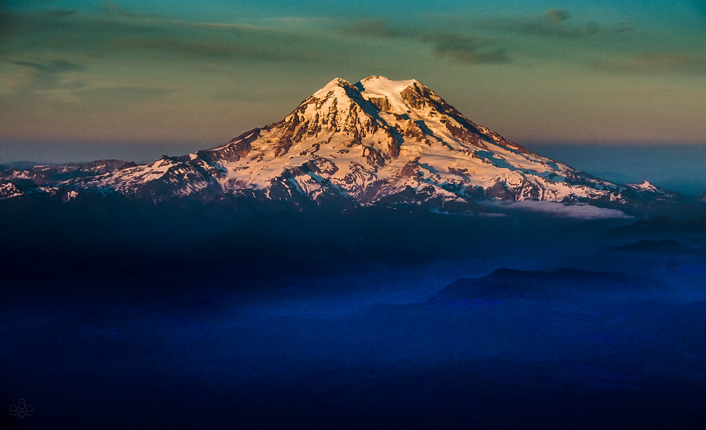
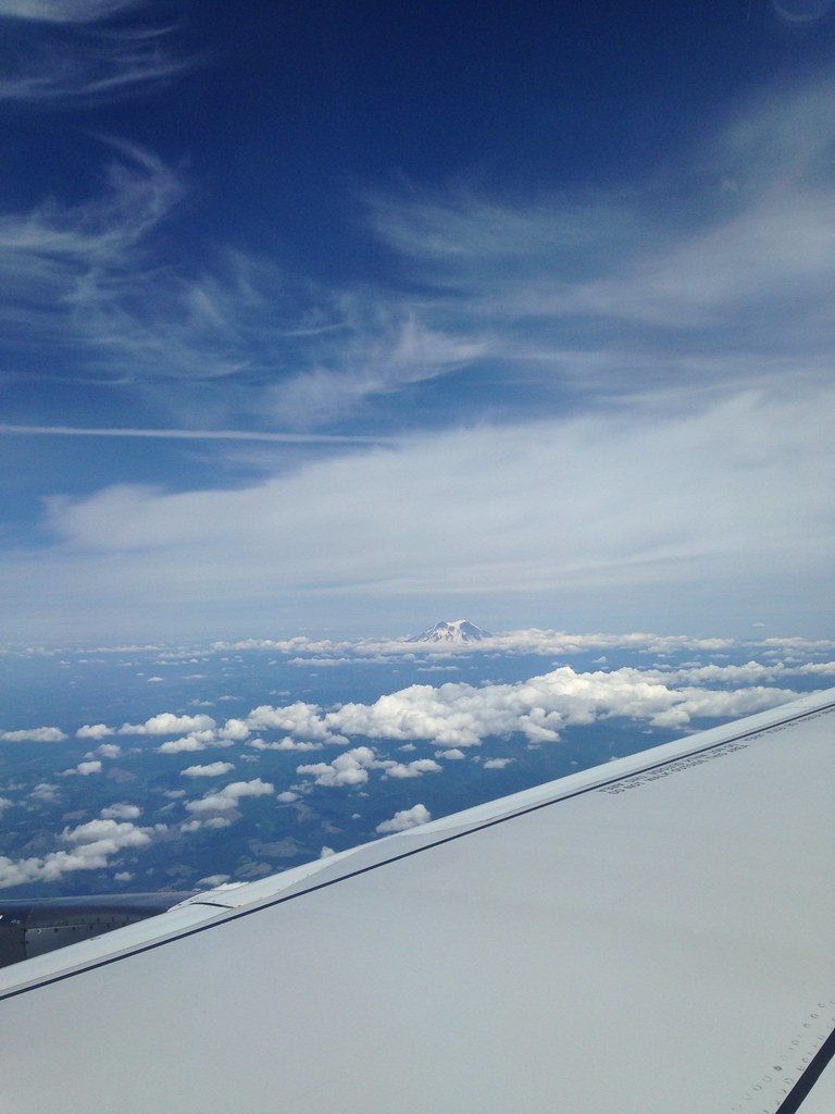
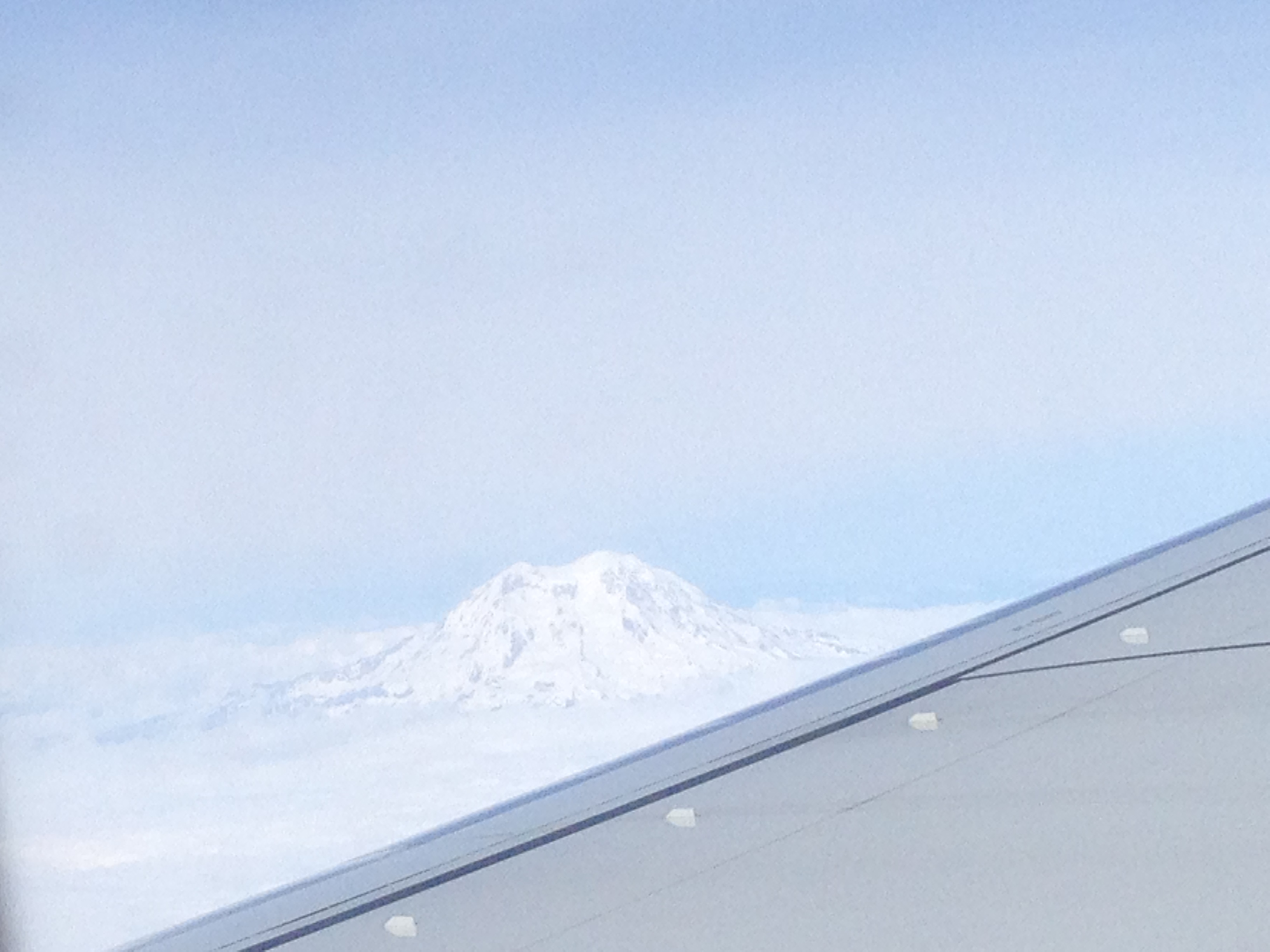
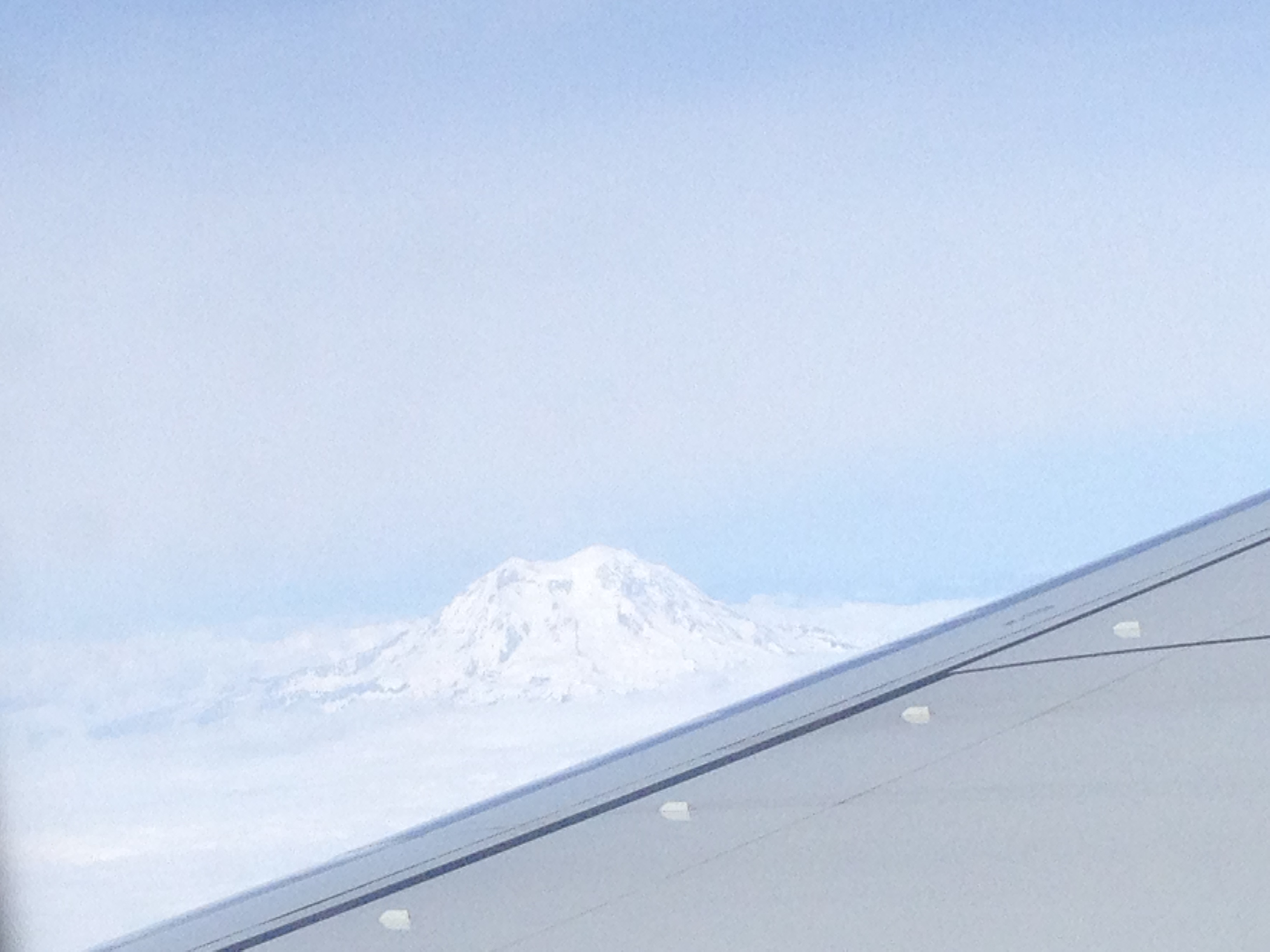
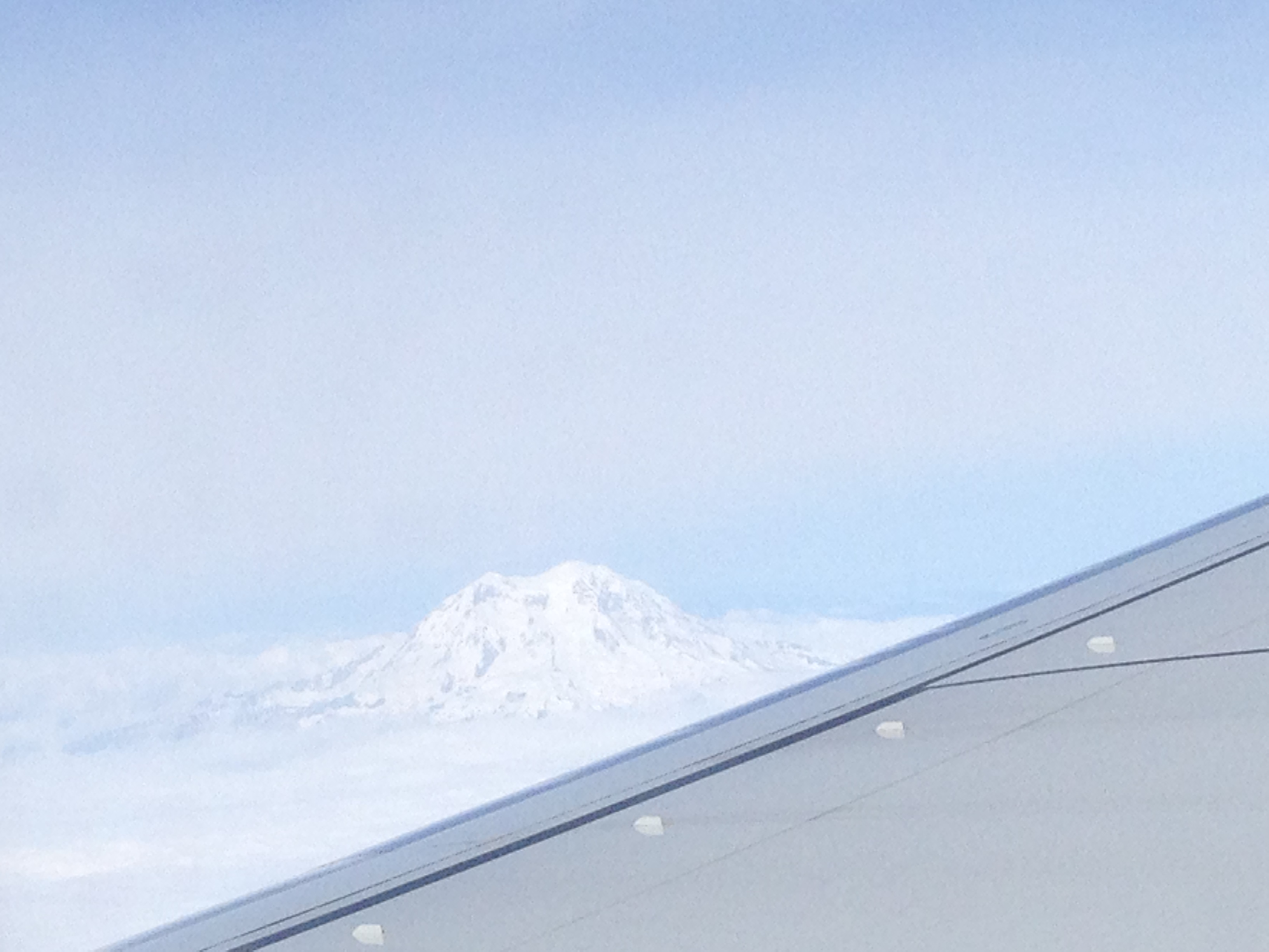
Mt. Rainier: on approach to Seattle
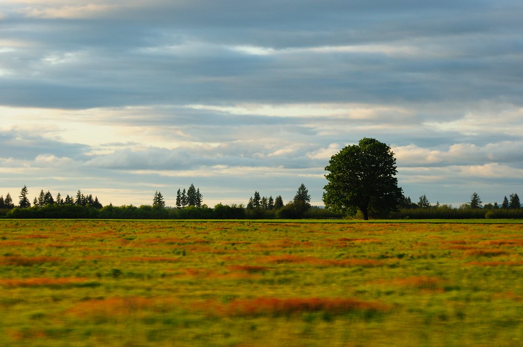
55 mph Landscape Photography
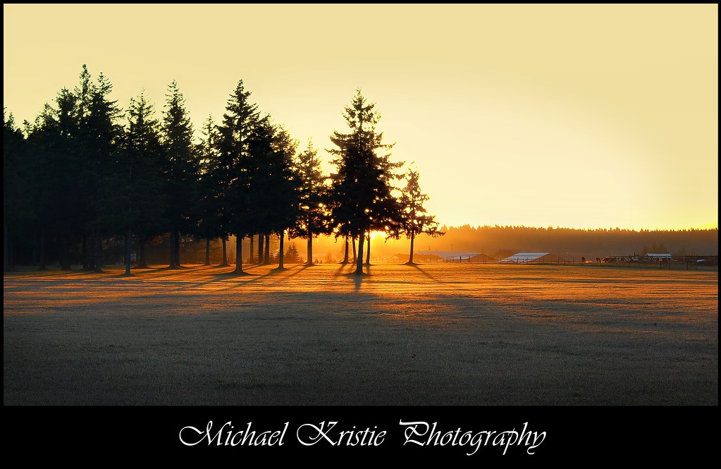
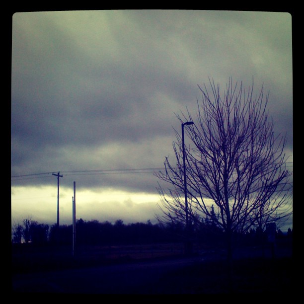
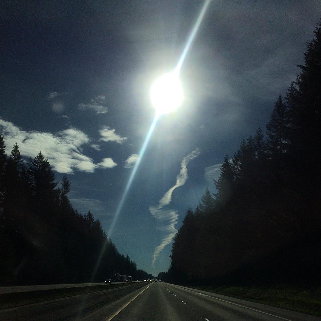
Sunrise Through Trees

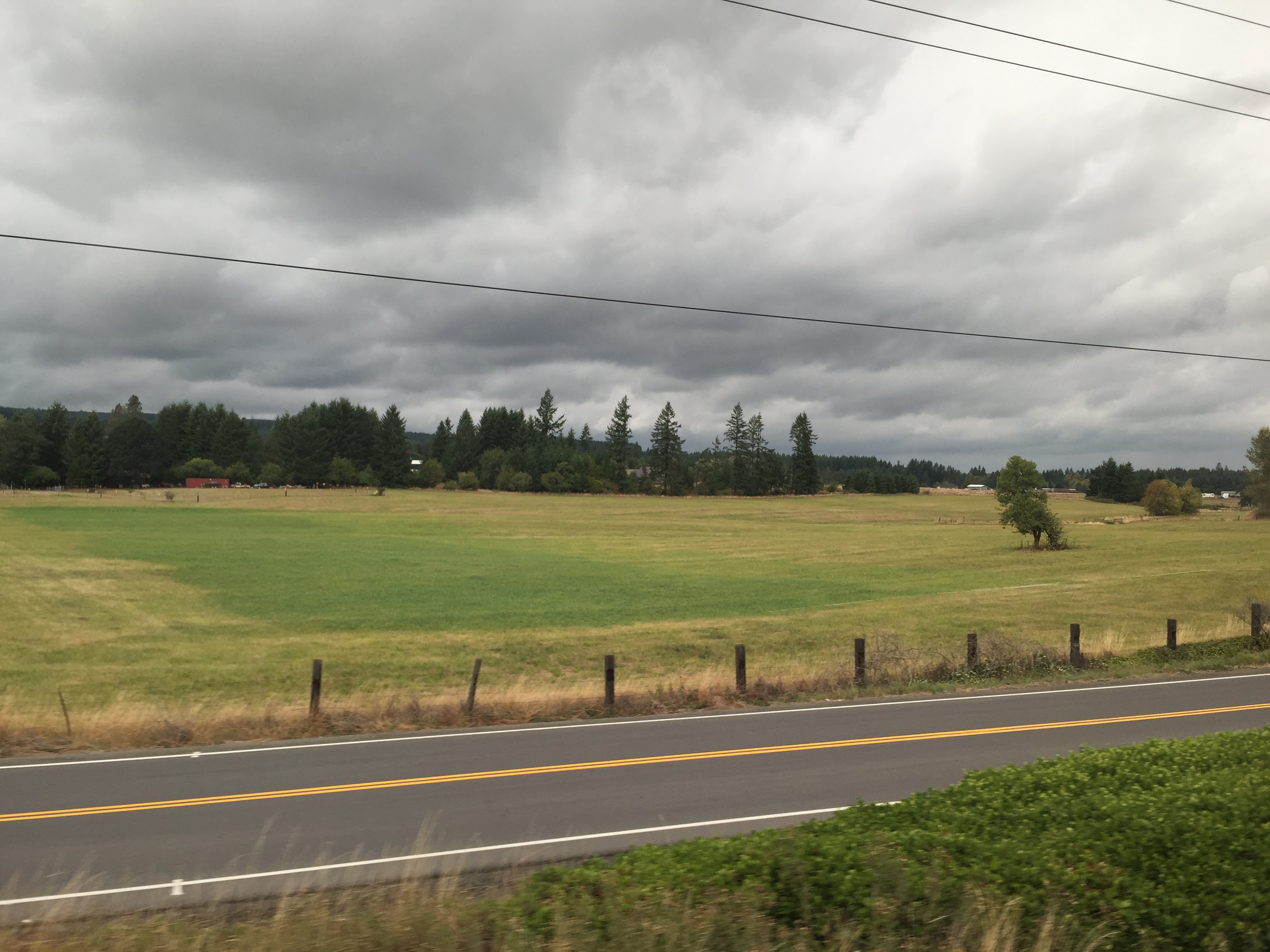
The Road from Winlock
Norris Farm
City 23

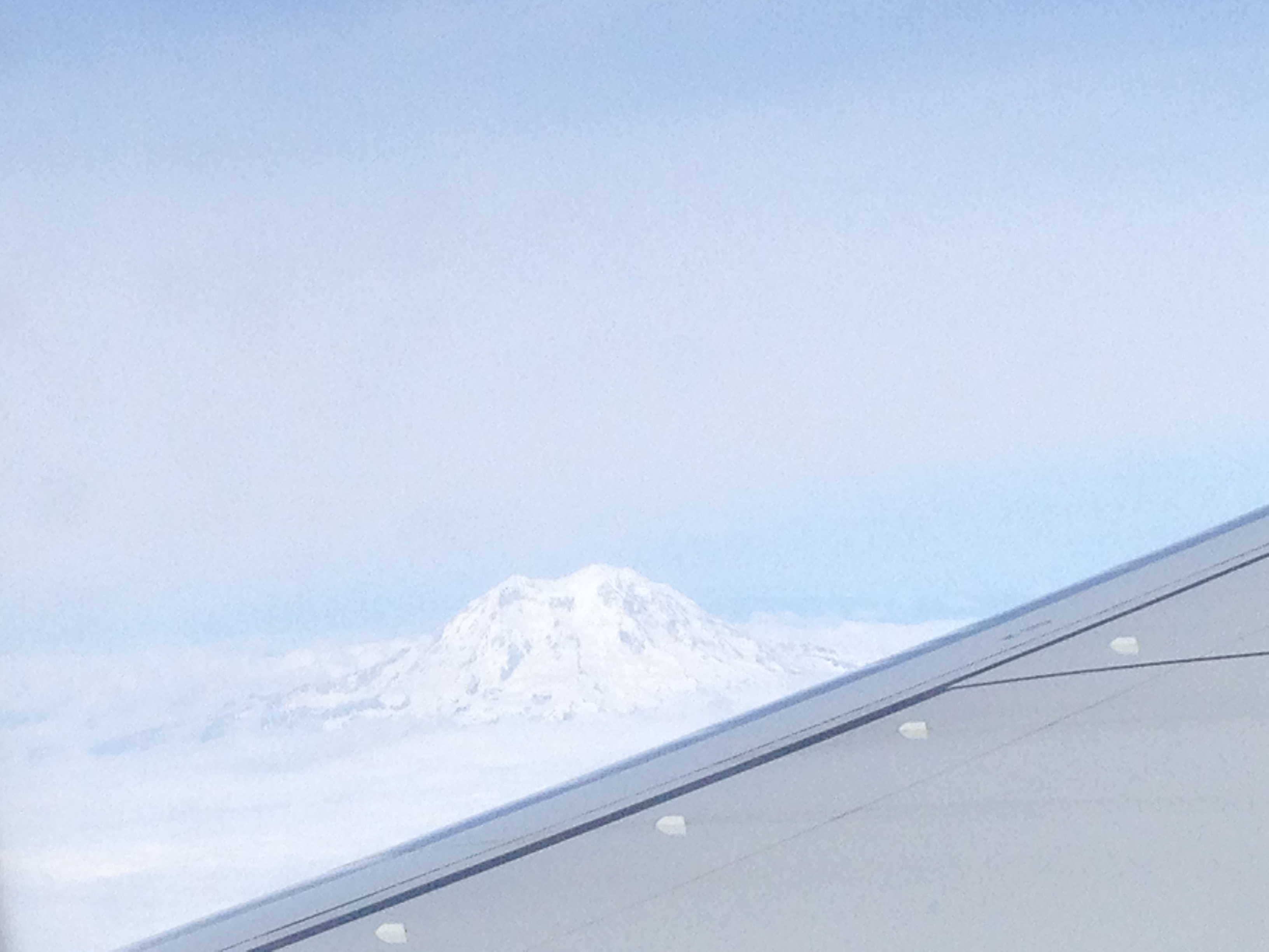
Mount Saint Helen's
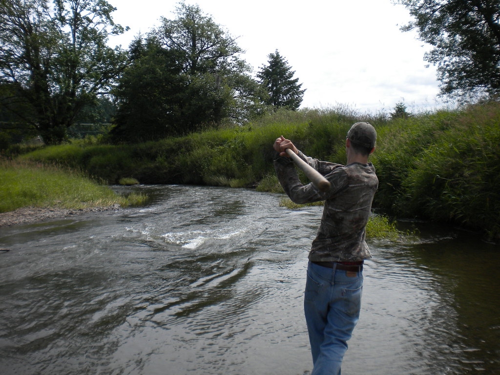
Fly Ball.... er.... Rock....
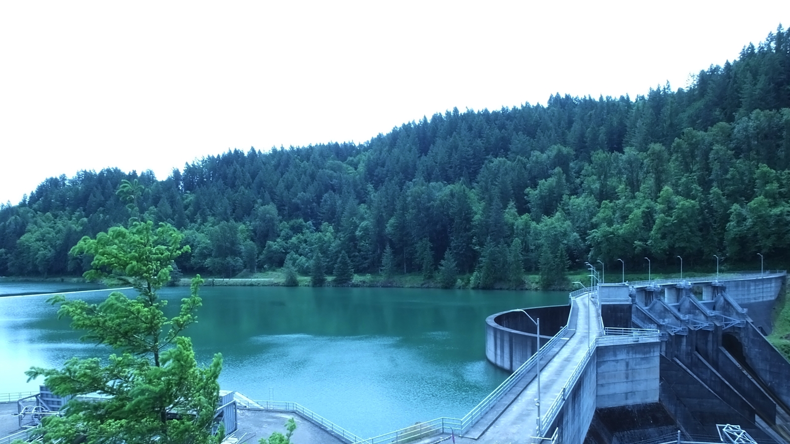
Mayfield Dam, WB=incandescent
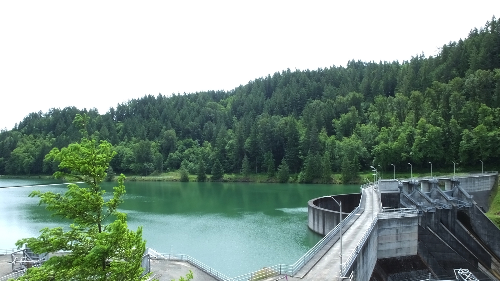
Mayfield Dam, WB=daylight
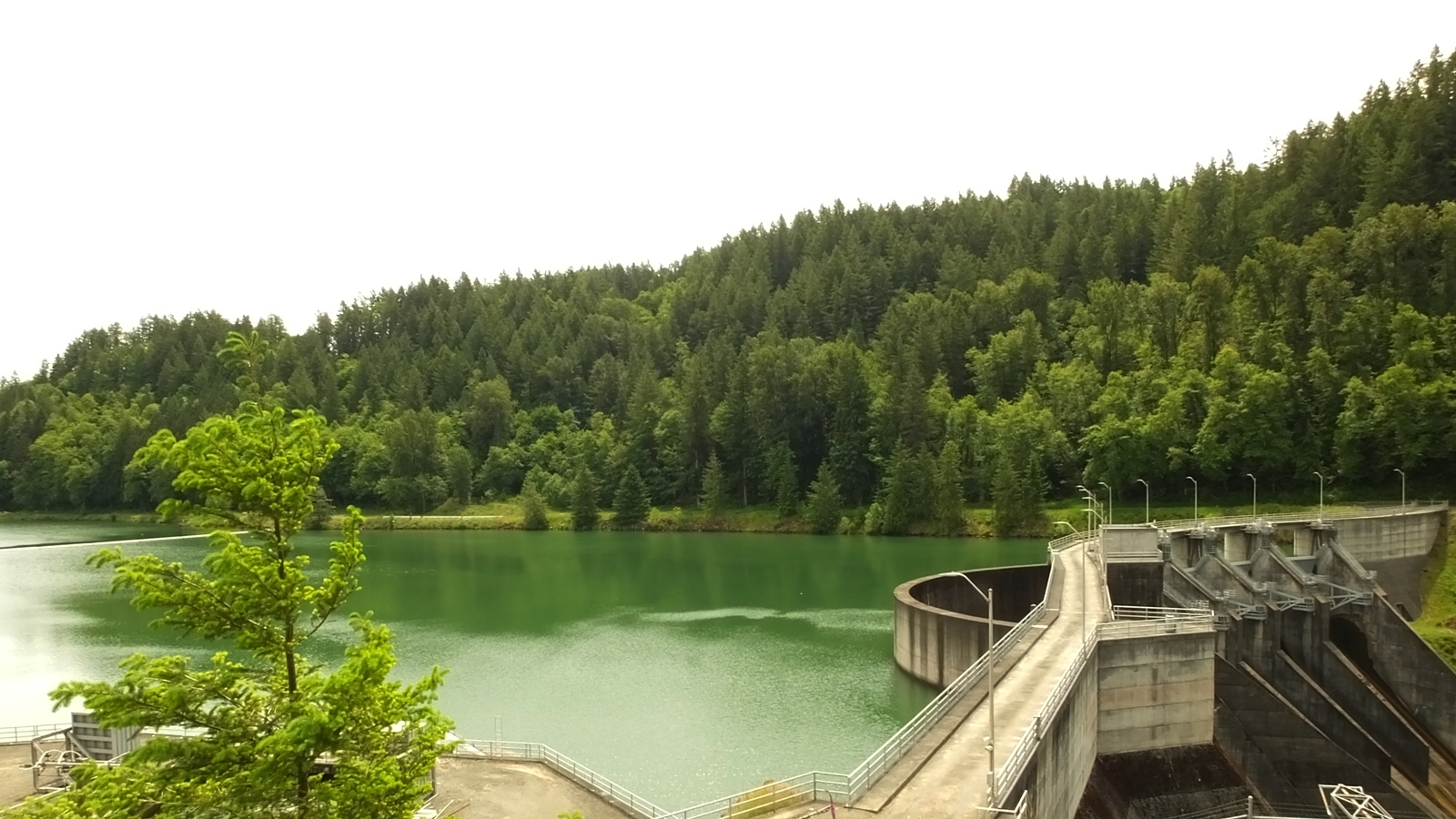
Mayfield Dam, WB=shade
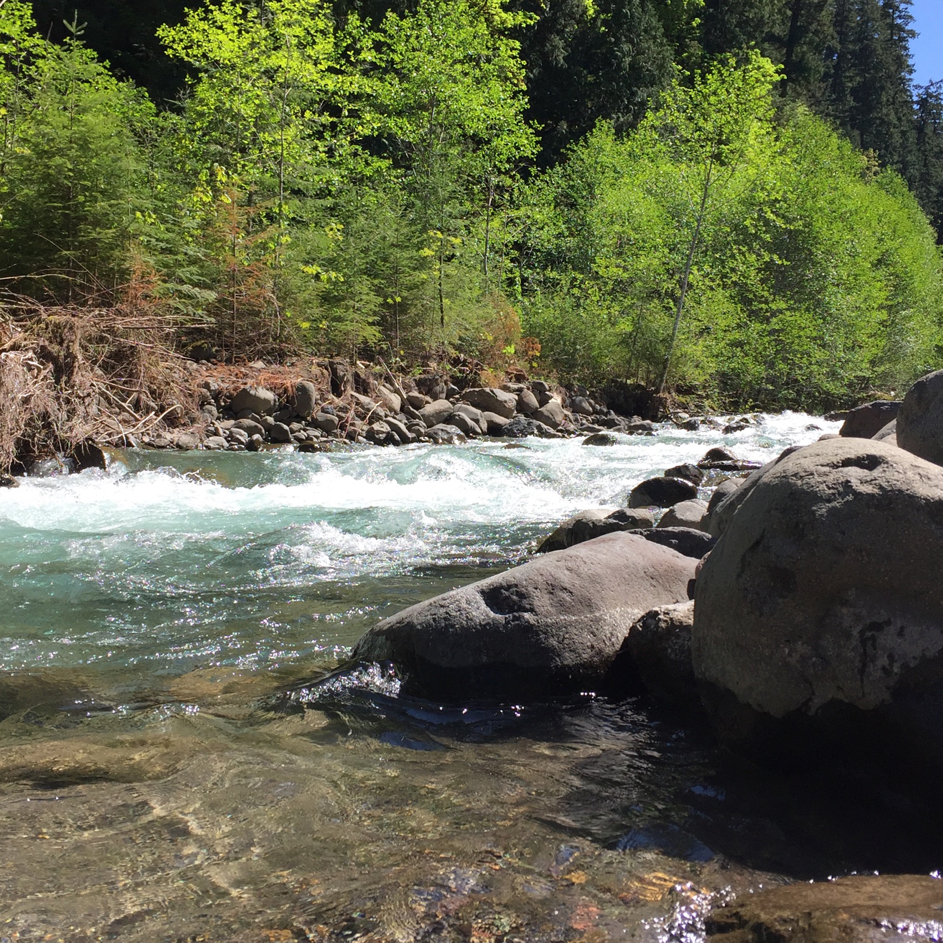
Iron Creek at FSR 76
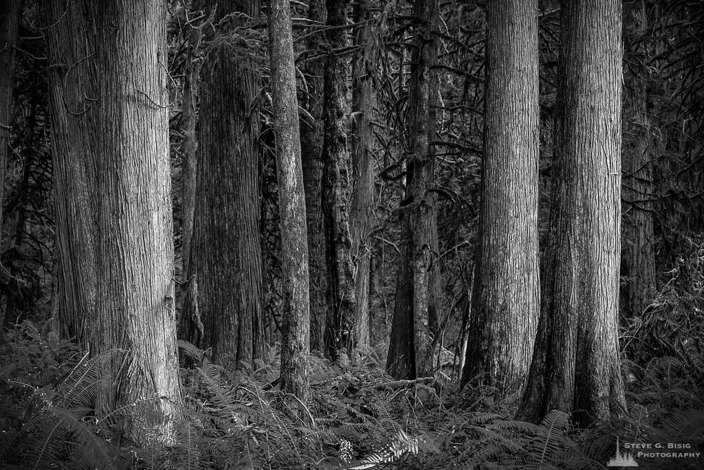
Cedar Forest, Lewis and Clark State Park, Washington, 2015
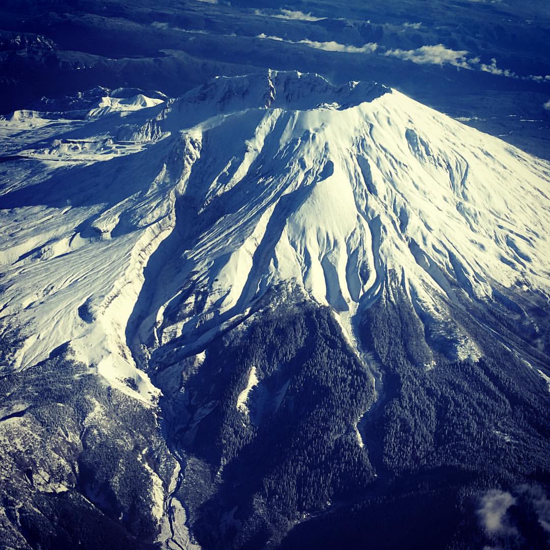
Mt St Helens from my seat on @alaskaair to Portland. Isn't it looking gorgeous for its closeup? Yep, I'm back already. #mischiefmanaged #snow #volcano
Amtrak Coast Starlight
Pit stop at #mayfieldlake. #roadtripping #weekendadventures #instapdx #igers_portland #jj_washington #washingtonexplored #wander_washington

Photo Jul 31, 12 05 25 PM
st. helens
San Francisco trip
Find me here...
Road trip

Our New Scamp
Road trip
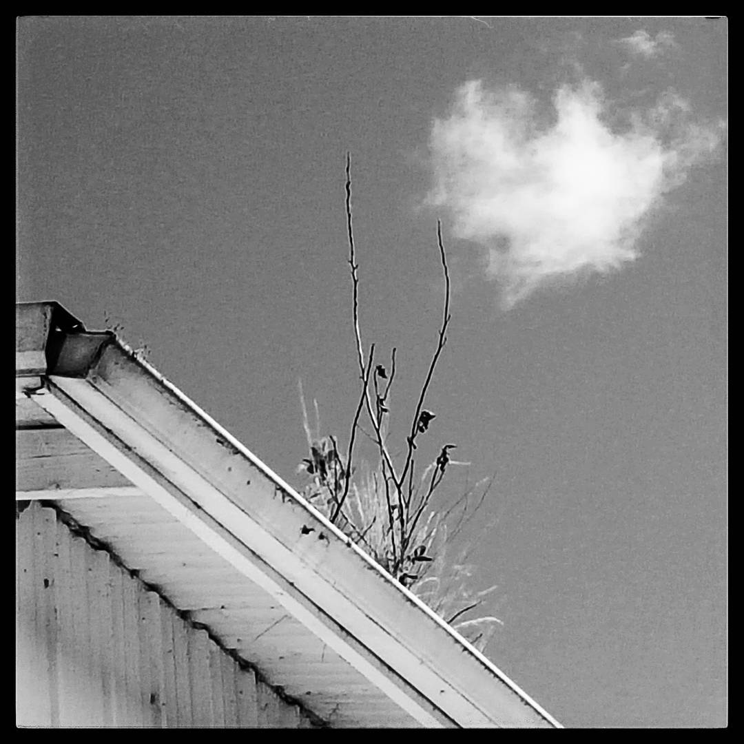
#bw #bandw #blackandwhite #blackandwhitephotography #monochrome #persistence #lifefindsaway
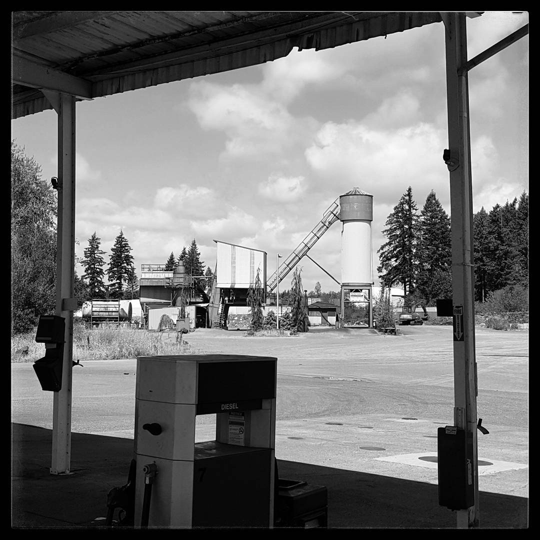
#bw #bandw #blackandwhite #blackandwhitephotography #monochrome #america #americana #decay #truckstop
The Corner of...
San Francisco trip
San Francisco trip
San Francisco trip
Hyak Rd, Chehalis, WA, USA Karte
Suchen Sie einen anderen Ort
Nahe Plätze
Gish Rd, Onalaska, WA, USA
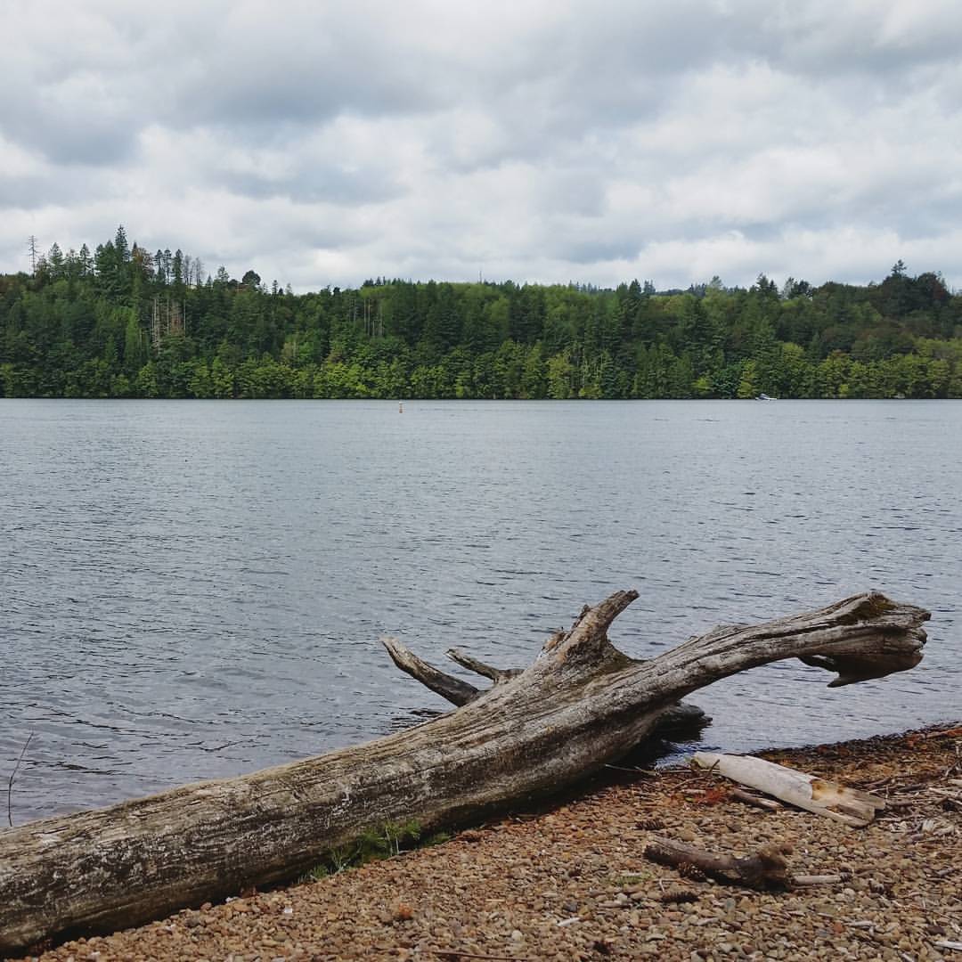
Carlisle Lake, Washington, USA
Onalaska, WA, USA
Ethel, WA, USA
Leonard Rd, Onalaska, WA, USA
0 Oyler Rd, Ethel, WA, USA
Clark Rd, Onalaska, WA, USA
Clark Rd, Onalaska, WA, USA
Guerrier Rd, Chehalis, WA, USA
Hansen Family Nursery, -39 Guerrier Rd, Chehalis, WA, USA
Guerrier Rd, Chehalis, WA, USA
Brim Road, Brim Rd, Onalaska, WA, USA
Pascoe Ave, Chehalis, WA, USA
Post Ln, Chehalis, WA, USA
Mary's Corner Market, US-12, Chehalis, WA, USA
Schoolhouse Ln, Toledo, WA, USA
Park Road, Park Rd, Winlock, WA, USA
Meier Rd, Winlock, WA, USA
St. Vincent de Paul Society, Spencer Rd, Toledo, WA, USA
Caporale Ln, Napavine, WA, USA
Letzte Suche
- San Telmo, Autonomen Stadt Buenos Aires, Argentinien Sonnenaufgang Sonnenuntergang Zeiten
- Congressional Dr, Stevensville, MD, USA Sonnenaufgang Sonnenuntergang Zeiten
- Papingo 04, Griechenland Sonnenaufgang Sonnenuntergang Zeiten
- Pagonija rock, Kranto 7-oji g. 8"N, Kaunas, Lithuania Sonnenaufgang Sonnenuntergang Zeiten
- Co Rd 87, Jamestown, CO, USA Sonnenaufgang Sonnenuntergang Zeiten
- Tenjo, Cundinamarca, Colombia Sonnenaufgang Sonnenuntergang Zeiten
- -1 Gosho, Ichihara, Chiba -, Japan Sonnenaufgang Sonnenuntergang Zeiten
- -, Japan Sonnenaufgang Sonnenuntergang Zeiten
- Spaceport America, Co Rd A, Truth or Consequences, NM, USA Sonnenaufgang Sonnenuntergang Zeiten
- Warwick, Rhode Island, USA Sonnenaufgang Sonnenuntergang Zeiten