Hartley Bay Rd, Killarney, ON P0M, Kanada Sonnenaufgang Sonnenuntergang Zeiten
Location: Kanada > Ontario > Manitoulin District > Killarney >
Zeitzone:
America/Toronto
Ortszeit:
2024-05-04 18:25:05
Länge:
-80.6819199
Breite:
46.0201532
Sonnenaufgang Heute:
06:02:04 AM
Sonnenuntergang Heute:
08:36:39 PM
Tageslänge heute:
14h 34m 35s
Sonnenaufgang morgen:
06:00:40 AM
Sonnenuntergang Morgen:
08:37:55 PM
Tageslänge von morgen:
14h 37m 15s
Alle Termine anzeigen
| Datum | Sonnenaufgang | Sonnenuntergang | Tageslänge |
|---|---|---|---|
| 2024-01-01 | 08:04:37 AM | 04:48:21 PM | 8h 43m 44s |
| 2024-01-02 | 08:04:36 AM | 04:49:19 PM | 8h 44m 43s |
| 2024-01-03 | 08:04:32 AM | 04:50:18 PM | 8h 45m 46s |
| 2024-01-04 | 08:04:25 AM | 04:51:19 PM | 8h 46m 54s |
| 2024-01-05 | 08:04:16 AM | 04:52:22 PM | 8h 48m 6s |
| 2024-01-06 | 08:04:03 AM | 04:53:26 PM | 8h 49m 23s |
| 2024-01-07 | 08:03:49 AM | 04:54:33 PM | 8h 50m 44s |
| 2024-01-08 | 08:03:31 AM | 04:55:41 PM | 8h 52m 10s |
| 2024-01-09 | 08:03:11 AM | 04:56:51 PM | 8h 53m 40s |
| 2024-01-10 | 08:02:48 AM | 04:58:02 PM | 8h 55m 14s |
| 2024-01-11 | 08:02:23 AM | 04:59:14 PM | 8h 56m 51s |
| 2024-01-12 | 08:01:55 AM | 05:00:28 PM | 8h 58m 33s |
| 2024-01-13 | 08:01:24 AM | 05:01:44 PM | 9h 0m 20s |
| 2024-01-14 | 08:00:51 AM | 05:03:00 PM | 9h 2m 9s |
| 2024-01-15 | 08:00:15 AM | 05:04:18 PM | 9h 4m 3s |
| 2024-01-16 | 07:59:37 AM | 05:05:37 PM | 9h 6m 0s |
| 2024-01-17 | 07:58:57 AM | 05:06:57 PM | 9h 8m 0s |
| 2024-01-18 | 07:58:14 AM | 05:08:18 PM | 9h 10m 4s |
| 2024-01-19 | 07:57:28 AM | 05:09:40 PM | 9h 12m 12s |
| 2024-01-20 | 07:56:40 AM | 05:11:02 PM | 9h 14m 22s |
| 2024-01-21 | 07:55:50 AM | 05:12:26 PM | 9h 16m 36s |
| 2024-01-22 | 07:54:58 AM | 05:13:50 PM | 9h 18m 52s |
| 2024-01-23 | 07:54:03 AM | 05:15:15 PM | 9h 21m 12s |
| 2024-01-24 | 07:53:07 AM | 05:16:41 PM | 9h 23m 34s |
| 2024-01-25 | 07:52:08 AM | 05:18:07 PM | 9h 25m 59s |
| 2024-01-26 | 07:51:07 AM | 05:19:33 PM | 9h 28m 26s |
| 2024-01-27 | 07:50:04 AM | 05:21:00 PM | 9h 30m 56s |
| 2024-01-28 | 07:48:58 AM | 05:22:28 PM | 9h 33m 30s |
| 2024-01-29 | 07:47:51 AM | 05:23:56 PM | 9h 36m 5s |
| 2024-01-30 | 07:46:42 AM | 05:25:24 PM | 9h 38m 42s |
| 2024-01-31 | 07:45:31 AM | 05:26:53 PM | 9h 41m 22s |
| 2024-02-01 | 07:44:18 AM | 05:28:21 PM | 9h 44m 3s |
| 2024-02-02 | 07:43:04 AM | 05:29:50 PM | 9h 46m 46s |
| 2024-02-03 | 07:41:47 AM | 05:31:19 PM | 9h 49m 32s |
| 2024-02-04 | 07:40:29 AM | 05:32:49 PM | 9h 52m 20s |
| 2024-02-05 | 07:39:09 AM | 05:34:18 PM | 9h 55m 9s |
| 2024-02-06 | 07:37:48 AM | 05:35:47 PM | 9h 57m 59s |
| 2024-02-07 | 07:36:25 AM | 05:37:16 PM | 10h 0m 51s |
| 2024-02-08 | 07:35:00 AM | 05:38:46 PM | 10h 3m 46s |
| 2024-02-09 | 07:33:34 AM | 05:40:15 PM | 10h 6m 41s |
| 2024-02-10 | 07:32:06 AM | 05:41:44 PM | 10h 9m 38s |
| 2024-02-11 | 07:30:37 AM | 05:43:13 PM | 10h 12m 36s |
| 2024-02-12 | 07:29:06 AM | 05:44:42 PM | 10h 15m 36s |
| 2024-02-13 | 07:27:34 AM | 05:46:11 PM | 10h 18m 37s |
| 2024-02-14 | 07:26:01 AM | 05:47:40 PM | 10h 21m 39s |
| 2024-02-15 | 07:24:27 AM | 05:49:08 PM | 10h 24m 41s |
| 2024-02-16 | 07:22:51 AM | 05:50:37 PM | 10h 27m 46s |
| 2024-02-17 | 07:21:14 AM | 05:52:05 PM | 10h 30m 51s |
| 2024-02-18 | 07:19:36 AM | 05:53:32 PM | 10h 33m 56s |
| 2024-02-19 | 07:17:57 AM | 05:55:00 PM | 10h 37m 3s |
| 2024-02-20 | 07:16:16 AM | 05:56:28 PM | 10h 40m 12s |
| 2024-02-21 | 07:14:35 AM | 05:57:55 PM | 10h 43m 20s |
| 2024-02-22 | 07:12:53 AM | 05:59:22 PM | 10h 46m 29s |
| 2024-02-23 | 07:11:09 AM | 06:00:48 PM | 10h 49m 39s |
| 2024-02-24 | 07:09:25 AM | 06:02:14 PM | 10h 52m 49s |
| 2024-02-25 | 07:07:40 AM | 06:03:40 PM | 10h 56m 0s |
| 2024-02-26 | 07:05:54 AM | 06:05:06 PM | 10h 59m 12s |
| 2024-02-27 | 07:04:07 AM | 06:06:32 PM | 11h 2m 25s |
| 2024-02-28 | 07:02:20 AM | 06:07:57 PM | 11h 5m 37s |
| 2024-02-29 | 07:00:32 AM | 06:09:22 PM | 11h 8m 50s |
| 2024-03-01 | 06:58:43 AM | 06:10:47 PM | 11h 12m 4s |
| 2024-03-02 | 06:56:53 AM | 06:12:11 PM | 11h 15m 18s |
| 2024-03-03 | 06:55:03 AM | 06:13:35 PM | 11h 18m 32s |
| 2024-03-04 | 06:53:12 AM | 06:14:59 PM | 11h 21m 47s |
| 2024-03-05 | 06:51:20 AM | 06:16:22 PM | 11h 25m 2s |
| 2024-03-06 | 06:49:28 AM | 06:17:46 PM | 11h 28m 18s |
| 2024-03-07 | 06:47:36 AM | 06:19:09 PM | 11h 31m 33s |
| 2024-03-08 | 06:45:43 AM | 06:20:31 PM | 11h 34m 48s |
| 2024-03-09 | 06:43:49 AM | 06:21:54 PM | 11h 38m 5s |
| 2024-03-10 | 07:42:00 AM | 07:23:13 PM | 11h 41m 13s |
| 2024-03-11 | 07:40:06 AM | 07:24:35 PM | 11h 44m 29s |
| 2024-03-12 | 07:38:12 AM | 07:25:57 PM | 11h 47m 45s |
| 2024-03-13 | 07:36:17 AM | 07:27:19 PM | 11h 51m 2s |
| 2024-03-14 | 07:34:22 AM | 07:28:40 PM | 11h 54m 18s |
| 2024-03-15 | 07:32:26 AM | 07:30:01 PM | 11h 57m 35s |
| 2024-03-16 | 07:30:31 AM | 07:31:22 PM | 12h 0m 51s |
| 2024-03-17 | 07:28:35 AM | 07:32:43 PM | 12h 4m 8s |
| 2024-03-18 | 07:26:39 AM | 07:34:04 PM | 12h 7m 25s |
| 2024-03-19 | 07:24:43 AM | 07:35:25 PM | 12h 10m 42s |
| 2024-03-20 | 07:22:47 AM | 07:36:45 PM | 12h 13m 58s |
| 2024-03-21 | 07:20:51 AM | 07:38:05 PM | 12h 17m 14s |
| 2024-03-22 | 07:18:55 AM | 07:39:25 PM | 12h 20m 30s |
| 2024-03-23 | 07:16:59 AM | 07:40:45 PM | 12h 23m 46s |
| 2024-03-24 | 07:15:03 AM | 07:42:05 PM | 12h 27m 2s |
| 2024-03-25 | 07:13:06 AM | 07:43:25 PM | 12h 30m 19s |
| 2024-03-26 | 07:11:11 AM | 07:44:45 PM | 12h 33m 34s |
| 2024-03-27 | 07:09:15 AM | 07:46:05 PM | 12h 36m 50s |
| 2024-03-28 | 07:07:19 AM | 07:47:24 PM | 12h 40m 5s |
| 2024-03-29 | 07:05:23 AM | 07:48:44 PM | 12h 43m 21s |
| 2024-03-30 | 07:03:28 AM | 07:50:03 PM | 12h 46m 35s |
| 2024-03-31 | 07:01:33 AM | 07:51:23 PM | 12h 49m 50s |
| 2024-04-01 | 06:59:38 AM | 07:52:42 PM | 12h 53m 4s |
| 2024-04-02 | 06:57:44 AM | 07:54:01 PM | 12h 56m 17s |
| 2024-04-03 | 06:55:50 AM | 07:55:21 PM | 12h 59m 31s |
| 2024-04-04 | 06:53:56 AM | 07:56:40 PM | 13h 2m 44s |
| 2024-04-05 | 06:52:03 AM | 07:57:59 PM | 13h 5m 56s |
| 2024-04-06 | 06:50:10 AM | 07:59:19 PM | 13h 9m 9s |
| 2024-04-07 | 06:48:18 AM | 08:00:38 PM | 13h 12m 20s |
| 2024-04-08 | 06:46:26 AM | 08:01:57 PM | 13h 15m 31s |
| 2024-04-09 | 06:44:35 AM | 08:03:16 PM | 13h 18m 41s |
| 2024-04-10 | 06:42:44 AM | 08:04:36 PM | 13h 21m 52s |
| 2024-04-11 | 06:40:54 AM | 08:05:55 PM | 13h 25m 1s |
| 2024-04-12 | 06:39:04 AM | 08:07:14 PM | 13h 28m 10s |
| 2024-04-13 | 06:37:15 AM | 08:08:33 PM | 13h 31m 18s |
| 2024-04-14 | 06:35:27 AM | 08:09:52 PM | 13h 34m 25s |
| 2024-04-15 | 06:33:40 AM | 08:11:12 PM | 13h 37m 32s |
| 2024-04-16 | 06:31:53 AM | 08:12:31 PM | 13h 40m 38s |
| 2024-04-17 | 06:30:07 AM | 08:13:50 PM | 13h 43m 43s |
| 2024-04-18 | 06:28:23 AM | 08:15:09 PM | 13h 46m 46s |
| 2024-04-19 | 06:26:38 AM | 08:16:28 PM | 13h 49m 50s |
| 2024-04-20 | 06:24:55 AM | 08:17:47 PM | 13h 52m 52s |
| 2024-04-21 | 06:23:13 AM | 08:19:06 PM | 13h 55m 53s |
| 2024-04-22 | 06:21:32 AM | 08:20:25 PM | 13h 58m 53s |
| 2024-04-23 | 06:19:52 AM | 08:21:44 PM | 14h 1m 52s |
| 2024-04-24 | 06:18:12 AM | 08:23:02 PM | 14h 4m 50s |
| 2024-04-25 | 06:16:34 AM | 08:24:21 PM | 14h 7m 47s |
| 2024-04-26 | 06:14:57 AM | 08:25:40 PM | 14h 10m 43s |
| 2024-04-27 | 06:13:22 AM | 08:26:58 PM | 14h 13m 36s |
| 2024-04-28 | 06:11:47 AM | 08:28:16 PM | 14h 16m 29s |
| 2024-04-29 | 06:10:14 AM | 08:29:34 PM | 14h 19m 20s |
| 2024-04-30 | 06:08:42 AM | 08:30:52 PM | 14h 22m 10s |
| 2024-05-01 | 06:07:11 AM | 08:32:09 PM | 14h 24m 58s |
| 2024-05-02 | 06:05:41 AM | 08:33:27 PM | 14h 27m 46s |
| 2024-05-03 | 06:04:13 AM | 08:34:44 PM | 14h 30m 31s |
| 2024-05-04 | 06:02:47 AM | 08:36:00 PM | 14h 33m 13s |
| 2024-05-05 | 06:01:22 AM | 08:37:17 PM | 14h 35m 55s |
| 2024-05-06 | 05:59:58 AM | 08:38:33 PM | 14h 38m 35s |
| 2024-05-07 | 05:58:36 AM | 08:39:48 PM | 14h 41m 12s |
| 2024-05-08 | 05:57:15 AM | 08:41:03 PM | 14h 43m 48s |
| 2024-05-09 | 05:55:57 AM | 08:42:18 PM | 14h 46m 21s |
| 2024-05-10 | 05:54:39 AM | 08:43:32 PM | 14h 48m 53s |
| 2024-05-11 | 05:53:24 AM | 08:44:46 PM | 14h 51m 22s |
| 2024-05-12 | 05:52:10 AM | 08:45:59 PM | 14h 53m 49s |
| 2024-05-13 | 05:50:58 AM | 08:47:11 PM | 14h 56m 13s |
| 2024-05-14 | 05:49:48 AM | 08:48:23 PM | 14h 58m 35s |
| 2024-05-15 | 05:48:39 AM | 08:49:34 PM | 15h 0m 55s |
| 2024-05-16 | 05:47:33 AM | 08:50:44 PM | 15h 3m 11s |
| 2024-05-17 | 05:46:28 AM | 08:51:54 PM | 15h 5m 26s |
| 2024-05-18 | 05:45:25 AM | 08:53:02 PM | 15h 7m 37s |
| 2024-05-19 | 05:44:25 AM | 08:54:10 PM | 15h 9m 45s |
| 2024-05-20 | 05:43:26 AM | 08:55:17 PM | 15h 11m 51s |
| 2024-05-21 | 05:42:29 AM | 08:56:23 PM | 15h 13m 54s |
| 2024-05-22 | 05:41:35 AM | 08:57:27 PM | 15h 15m 52s |
| 2024-05-23 | 05:40:42 AM | 08:58:31 PM | 15h 17m 49s |
| 2024-05-24 | 05:39:52 AM | 08:59:34 PM | 15h 19m 42s |
| 2024-05-25 | 05:39:04 AM | 09:00:35 PM | 15h 21m 31s |
| 2024-05-26 | 05:38:18 AM | 09:01:35 PM | 15h 23m 17s |
| 2024-05-27 | 05:37:34 AM | 09:02:34 PM | 15h 25m 0s |
| 2024-05-28 | 05:36:53 AM | 09:03:31 PM | 15h 26m 38s |
| 2024-05-29 | 05:36:14 AM | 09:04:27 PM | 15h 28m 13s |
| 2024-05-30 | 05:35:37 AM | 09:05:22 PM | 15h 29m 45s |
| 2024-05-31 | 05:35:02 AM | 09:06:15 PM | 15h 31m 13s |
| 2024-06-01 | 05:34:30 AM | 09:07:06 PM | 15h 32m 36s |
| 2024-06-02 | 05:34:00 AM | 09:07:56 PM | 15h 33m 56s |
| 2024-06-03 | 05:33:33 AM | 09:08:44 PM | 15h 35m 11s |
| 2024-06-04 | 05:33:07 AM | 09:09:31 PM | 15h 36m 24s |
| 2024-06-05 | 05:32:45 AM | 09:10:15 PM | 15h 37m 30s |
| 2024-06-06 | 05:32:24 AM | 09:10:58 PM | 15h 38m 34s |
| 2024-06-07 | 05:32:06 AM | 09:11:39 PM | 15h 39m 33s |
| 2024-06-08 | 05:31:51 AM | 09:12:18 PM | 15h 40m 27s |
| 2024-06-09 | 05:31:38 AM | 09:12:55 PM | 15h 41m 17s |
| 2024-06-10 | 05:31:27 AM | 09:13:30 PM | 15h 42m 3s |
| 2024-06-11 | 05:31:19 AM | 09:14:03 PM | 15h 42m 44s |
| 2024-06-12 | 05:31:13 AM | 09:14:34 PM | 15h 43m 21s |
| 2024-06-13 | 05:31:10 AM | 09:15:03 PM | 15h 43m 53s |
| 2024-06-14 | 05:31:09 AM | 09:15:30 PM | 15h 44m 21s |
| 2024-06-15 | 05:31:10 AM | 09:15:54 PM | 15h 44m 44s |
| 2024-06-16 | 05:31:14 AM | 09:16:16 PM | 15h 45m 2s |
| 2024-06-17 | 05:31:20 AM | 09:16:36 PM | 15h 45m 16s |
| 2024-06-18 | 05:31:29 AM | 09:16:54 PM | 15h 45m 25s |
| 2024-06-19 | 05:31:39 AM | 09:17:09 PM | 15h 45m 30s |
| 2024-06-20 | 05:31:53 AM | 09:17:22 PM | 15h 45m 29s |
| 2024-06-21 | 05:32:08 AM | 09:17:33 PM | 15h 45m 25s |
| 2024-06-22 | 05:32:26 AM | 09:17:41 PM | 15h 45m 15s |
| 2024-06-23 | 05:32:46 AM | 09:17:47 PM | 15h 45m 1s |
| 2024-06-24 | 05:33:08 AM | 09:17:50 PM | 15h 44m 42s |
| 2024-06-25 | 05:33:32 AM | 09:17:51 PM | 15h 44m 19s |
| 2024-06-26 | 05:33:58 AM | 09:17:50 PM | 15h 43m 52s |
| 2024-06-27 | 05:34:27 AM | 09:17:46 PM | 15h 43m 19s |
| 2024-06-28 | 05:34:57 AM | 09:17:39 PM | 15h 42m 42s |
| 2024-06-29 | 05:35:30 AM | 09:17:31 PM | 15h 42m 1s |
| 2024-06-30 | 05:36:04 AM | 09:17:19 PM | 15h 41m 15s |
| 2024-07-01 | 05:36:41 AM | 09:17:05 PM | 15h 40m 24s |
| 2024-07-02 | 05:37:19 AM | 09:16:49 PM | 15h 39m 30s |
| 2024-07-03 | 05:37:59 AM | 09:16:30 PM | 15h 38m 31s |
| 2024-07-04 | 05:38:41 AM | 09:16:09 PM | 15h 37m 28s |
| 2024-07-05 | 05:39:25 AM | 09:15:45 PM | 15h 36m 20s |
| 2024-07-06 | 05:40:10 AM | 09:15:19 PM | 15h 35m 9s |
| 2024-07-07 | 05:40:57 AM | 09:14:51 PM | 15h 33m 54s |
| 2024-07-08 | 05:41:46 AM | 09:14:20 PM | 15h 32m 34s |
| 2024-07-09 | 05:42:36 AM | 09:13:47 PM | 15h 31m 11s |
| 2024-07-10 | 05:43:27 AM | 09:13:11 PM | 15h 29m 44s |
| 2024-07-11 | 05:44:20 AM | 09:12:33 PM | 15h 28m 13s |
| 2024-07-12 | 05:45:15 AM | 09:11:53 PM | 15h 26m 38s |
| 2024-07-13 | 05:46:10 AM | 09:11:10 PM | 15h 25m 0s |
| 2024-07-14 | 05:47:07 AM | 09:10:25 PM | 15h 23m 18s |
| 2024-07-15 | 05:48:05 AM | 09:09:38 PM | 15h 21m 33s |
| 2024-07-16 | 05:49:05 AM | 09:08:49 PM | 15h 19m 44s |
| 2024-07-17 | 05:50:05 AM | 09:07:57 PM | 15h 17m 52s |
| 2024-07-18 | 05:51:07 AM | 09:07:04 PM | 15h 15m 57s |
| 2024-07-19 | 05:52:09 AM | 09:06:08 PM | 15h 13m 59s |
| 2024-07-20 | 05:53:13 AM | 09:05:10 PM | 15h 11m 57s |
| 2024-07-21 | 05:54:17 AM | 09:04:10 PM | 15h 9m 53s |
| 2024-07-22 | 05:55:22 AM | 09:03:08 PM | 15h 7m 46s |
| 2024-07-23 | 05:56:28 AM | 09:02:04 PM | 15h 5m 36s |
| 2024-07-24 | 05:57:35 AM | 09:00:58 PM | 15h 3m 23s |
| 2024-07-25 | 05:58:43 AM | 08:59:51 PM | 15h 1m 8s |
| 2024-07-26 | 05:59:51 AM | 08:58:41 PM | 14h 58m 50s |
| 2024-07-27 | 06:01:00 AM | 08:57:29 PM | 14h 56m 29s |
| 2024-07-28 | 06:02:09 AM | 08:56:16 PM | 14h 54m 7s |
| 2024-07-29 | 06:03:19 AM | 08:55:01 PM | 14h 51m 42s |
| 2024-07-30 | 06:04:30 AM | 08:53:44 PM | 14h 49m 14s |
| 2024-07-31 | 06:05:41 AM | 08:52:25 PM | 14h 46m 44s |
| 2024-08-01 | 06:06:53 AM | 08:51:05 PM | 14h 44m 12s |
| 2024-08-02 | 06:08:04 AM | 08:49:43 PM | 14h 41m 39s |
| 2024-08-03 | 06:09:17 AM | 08:48:20 PM | 14h 39m 3s |
| 2024-08-04 | 06:10:29 AM | 08:46:55 PM | 14h 36m 26s |
| 2024-08-05 | 06:11:42 AM | 08:45:28 PM | 14h 33m 46s |
| 2024-08-06 | 06:12:55 AM | 08:44:01 PM | 14h 31m 6s |
| 2024-08-07 | 06:14:09 AM | 08:42:31 PM | 14h 28m 22s |
| 2024-08-08 | 06:15:23 AM | 08:41:00 PM | 14h 25m 37s |
| 2024-08-09 | 06:16:36 AM | 08:39:28 PM | 14h 22m 52s |
| 2024-08-10 | 06:17:51 AM | 08:37:55 PM | 14h 20m 4s |
| 2024-08-11 | 06:19:05 AM | 08:36:20 PM | 14h 17m 15s |
| 2024-08-12 | 06:20:19 AM | 08:34:44 PM | 14h 14m 25s |
| 2024-08-13 | 06:21:34 AM | 08:33:07 PM | 14h 11m 33s |
| 2024-08-14 | 06:22:48 AM | 08:31:29 PM | 14h 8m 41s |
| 2024-08-15 | 06:24:03 AM | 08:29:49 PM | 14h 5m 46s |
| 2024-08-16 | 06:25:18 AM | 08:28:09 PM | 14h 2m 51s |
| 2024-08-17 | 06:26:32 AM | 08:26:27 PM | 13h 59m 55s |
| 2024-08-18 | 06:27:47 AM | 08:24:44 PM | 13h 56m 57s |
| 2024-08-19 | 06:29:02 AM | 08:23:01 PM | 13h 53m 59s |
| 2024-08-20 | 06:30:17 AM | 08:21:16 PM | 13h 50m 59s |
| 2024-08-21 | 06:31:32 AM | 08:19:31 PM | 13h 47m 59s |
| 2024-08-22 | 06:32:47 AM | 08:17:44 PM | 13h 44m 57s |
| 2024-08-23 | 06:34:01 AM | 08:15:57 PM | 13h 41m 56s |
| 2024-08-24 | 06:35:16 AM | 08:14:09 PM | 13h 38m 53s |
| 2024-08-25 | 06:36:31 AM | 08:12:20 PM | 13h 35m 49s |
| 2024-08-26 | 06:37:46 AM | 08:10:31 PM | 13h 32m 45s |
| 2024-08-27 | 06:39:01 AM | 08:08:40 PM | 13h 29m 39s |
| 2024-08-28 | 06:40:15 AM | 08:06:49 PM | 13h 26m 34s |
| 2024-08-29 | 06:41:30 AM | 08:04:58 PM | 13h 23m 28s |
| 2024-08-30 | 06:42:45 AM | 08:03:06 PM | 13h 20m 21s |
| 2024-08-31 | 06:44:00 AM | 08:01:13 PM | 13h 17m 13s |
| 2024-09-01 | 06:45:14 AM | 07:59:19 PM | 13h 14m 5s |
| 2024-09-02 | 06:46:29 AM | 07:57:25 PM | 13h 10m 56s |
| 2024-09-03 | 06:47:43 AM | 07:55:31 PM | 13h 7m 48s |
| 2024-09-04 | 06:48:58 AM | 07:53:36 PM | 13h 4m 38s |
| 2024-09-05 | 06:50:13 AM | 07:51:41 PM | 13h 1m 28s |
| 2024-09-06 | 06:51:27 AM | 07:49:45 PM | 12h 58m 18s |
| 2024-09-07 | 06:52:42 AM | 07:47:49 PM | 12h 55m 7s |
| 2024-09-08 | 06:53:57 AM | 07:45:53 PM | 12h 51m 56s |
| 2024-09-09 | 06:55:11 AM | 07:43:56 PM | 12h 48m 45s |
| 2024-09-10 | 06:56:26 AM | 07:41:59 PM | 12h 45m 33s |
| 2024-09-11 | 06:57:41 AM | 07:40:02 PM | 12h 42m 21s |
| 2024-09-12 | 06:58:55 AM | 07:38:05 PM | 12h 39m 10s |
| 2024-09-13 | 07:00:10 AM | 07:36:07 PM | 12h 35m 57s |
| 2024-09-14 | 07:01:25 AM | 07:34:09 PM | 12h 32m 44s |
| 2024-09-15 | 07:02:40 AM | 07:32:12 PM | 12h 29m 32s |
| 2024-09-16 | 07:03:55 AM | 07:30:14 PM | 12h 26m 19s |
| 2024-09-17 | 07:05:10 AM | 07:28:16 PM | 12h 23m 6s |
| 2024-09-18 | 07:06:25 AM | 07:26:18 PM | 12h 19m 53s |
| 2024-09-19 | 07:07:41 AM | 07:24:20 PM | 12h 16m 39s |
| 2024-09-20 | 07:08:56 AM | 07:22:22 PM | 12h 13m 26s |
| 2024-09-21 | 07:10:12 AM | 07:20:24 PM | 12h 10m 12s |
| 2024-09-22 | 07:11:28 AM | 07:18:26 PM | 12h 6m 58s |
| 2024-09-23 | 07:12:43 AM | 07:16:28 PM | 12h 3m 45s |
| 2024-09-24 | 07:14:00 AM | 07:14:31 PM | 12h 0m 31s |
| 2024-09-25 | 07:15:16 AM | 07:12:33 PM | 11h 57m 17s |
| 2024-09-26 | 07:16:32 AM | 07:10:36 PM | 11h 54m 4s |
| 2024-09-27 | 07:17:49 AM | 07:08:39 PM | 11h 50m 50s |
| 2024-09-28 | 07:19:06 AM | 07:06:42 PM | 11h 47m 36s |
| 2024-09-29 | 07:20:23 AM | 07:04:46 PM | 11h 44m 23s |
| 2024-09-30 | 07:21:40 AM | 07:02:50 PM | 11h 41m 10s |
| 2024-10-01 | 07:22:57 AM | 07:00:54 PM | 11h 37m 57s |
| 2024-10-02 | 07:24:15 AM | 06:58:59 PM | 11h 34m 44s |
| 2024-10-03 | 07:25:33 AM | 06:57:04 PM | 11h 31m 31s |
| 2024-10-04 | 07:26:51 AM | 06:55:10 PM | 11h 28m 19s |
| 2024-10-05 | 07:28:10 AM | 06:53:16 PM | 11h 25m 6s |
| 2024-10-06 | 07:29:29 AM | 06:51:23 PM | 11h 21m 54s |
| 2024-10-07 | 07:30:48 AM | 06:49:30 PM | 11h 18m 42s |
| 2024-10-08 | 07:32:07 AM | 06:47:38 PM | 11h 15m 31s |
| 2024-10-09 | 07:33:27 AM | 06:45:46 PM | 11h 12m 19s |
| 2024-10-10 | 07:34:47 AM | 06:43:55 PM | 11h 9m 8s |
| 2024-10-11 | 07:36:07 AM | 06:42:05 PM | 11h 5m 58s |
| 2024-10-12 | 07:37:28 AM | 06:40:16 PM | 11h 2m 48s |
| 2024-10-13 | 07:38:49 AM | 06:38:27 PM | 10h 59m 38s |
| 2024-10-14 | 07:40:10 AM | 06:36:39 PM | 10h 56m 29s |
| 2024-10-15 | 07:41:31 AM | 06:34:52 PM | 10h 53m 21s |
| 2024-10-16 | 07:42:53 AM | 06:33:06 PM | 10h 50m 13s |
| 2024-10-17 | 07:44:15 AM | 06:31:21 PM | 10h 47m 6s |
| 2024-10-18 | 07:45:37 AM | 06:29:36 PM | 10h 43m 59s |
| 2024-10-19 | 07:47:00 AM | 06:27:53 PM | 10h 40m 53s |
| 2024-10-20 | 07:48:23 AM | 06:26:11 PM | 10h 37m 48s |
| 2024-10-21 | 07:49:46 AM | 06:24:29 PM | 10h 34m 43s |
| 2024-10-22 | 07:51:10 AM | 06:22:49 PM | 10h 31m 39s |
| 2024-10-23 | 07:52:34 AM | 06:21:10 PM | 10h 28m 36s |
| 2024-10-24 | 07:53:58 AM | 06:19:32 PM | 10h 25m 34s |
| 2024-10-25 | 07:55:22 AM | 06:17:56 PM | 10h 22m 34s |
| 2024-10-26 | 07:56:46 AM | 06:16:20 PM | 10h 19m 34s |
| 2024-10-27 | 07:58:11 AM | 06:14:46 PM | 10h 16m 35s |
| 2024-10-28 | 07:59:36 AM | 06:13:13 PM | 10h 13m 37s |
| 2024-10-29 | 08:01:01 AM | 06:11:42 PM | 10h 10m 41s |
| 2024-10-30 | 08:02:26 AM | 06:10:12 PM | 10h 7m 46s |
| 2024-10-31 | 08:03:52 AM | 06:08:43 PM | 10h 4m 51s |
| 2024-11-01 | 08:05:17 AM | 06:07:16 PM | 10h 1m 59s |
| 2024-11-02 | 08:06:43 AM | 06:05:51 PM | 9h 59m 8s |
| 2024-11-03 | 07:08:12 AM | 05:04:23 PM | 9h 56m 11s |
| 2024-11-04 | 07:09:38 AM | 05:03:01 PM | 9h 53m 23s |
| 2024-11-05 | 07:11:03 AM | 05:01:40 PM | 9h 50m 37s |
| 2024-11-06 | 07:12:29 AM | 05:00:22 PM | 9h 47m 53s |
| 2024-11-07 | 07:13:55 AM | 04:59:04 PM | 9h 45m 9s |
| 2024-11-08 | 07:15:20 AM | 04:57:49 PM | 9h 42m 29s |
| 2024-11-09 | 07:16:45 AM | 04:56:36 PM | 9h 39m 51s |
| 2024-11-10 | 07:18:10 AM | 04:55:24 PM | 9h 37m 14s |
| 2024-11-11 | 07:19:35 AM | 04:54:14 PM | 9h 34m 39s |
| 2024-11-12 | 07:21:00 AM | 04:53:07 PM | 9h 32m 7s |
| 2024-11-13 | 07:22:24 AM | 04:52:01 PM | 9h 29m 37s |
| 2024-11-14 | 07:23:48 AM | 04:50:57 PM | 9h 27m 9s |
| 2024-11-15 | 07:25:12 AM | 04:49:56 PM | 9h 24m 44s |
| 2024-11-16 | 07:26:35 AM | 04:48:57 PM | 9h 22m 22s |
| 2024-11-17 | 07:27:57 AM | 04:47:59 PM | 9h 20m 2s |
| 2024-11-18 | 07:29:19 AM | 04:47:04 PM | 9h 17m 45s |
| 2024-11-19 | 07:30:41 AM | 04:46:12 PM | 9h 15m 31s |
| 2024-11-20 | 07:32:01 AM | 04:45:21 PM | 9h 13m 20s |
| 2024-11-21 | 07:33:21 AM | 04:44:33 PM | 9h 11m 12s |
| 2024-11-22 | 07:34:40 AM | 04:43:47 PM | 9h 9m 7s |
| 2024-11-23 | 07:35:58 AM | 04:43:04 PM | 9h 7m 6s |
| 2024-11-24 | 07:37:16 AM | 04:42:23 PM | 9h 5m 7s |
| 2024-11-25 | 07:38:32 AM | 04:41:45 PM | 9h 3m 13s |
| 2024-11-26 | 07:39:47 AM | 04:41:09 PM | 9h 1m 22s |
| 2024-11-27 | 07:41:01 AM | 04:40:36 PM | 8h 59m 35s |
| 2024-11-28 | 07:42:14 AM | 04:40:05 PM | 8h 57m 51s |
| 2024-11-29 | 07:43:26 AM | 04:39:37 PM | 8h 56m 11s |
| 2024-11-30 | 07:44:36 AM | 04:39:11 PM | 8h 54m 35s |
| 2024-12-01 | 07:45:45 AM | 04:38:49 PM | 8h 53m 4s |
| 2024-12-02 | 07:46:53 AM | 04:38:28 PM | 8h 51m 35s |
| 2024-12-03 | 07:47:59 AM | 04:38:11 PM | 8h 50m 12s |
| 2024-12-04 | 07:49:03 AM | 04:37:56 PM | 8h 48m 53s |
| 2024-12-05 | 07:50:06 AM | 04:37:44 PM | 8h 47m 38s |
| 2024-12-06 | 07:51:07 AM | 04:37:35 PM | 8h 46m 28s |
| 2024-12-07 | 07:52:06 AM | 04:37:28 PM | 8h 45m 22s |
| 2024-12-08 | 07:53:04 AM | 04:37:24 PM | 8h 44m 20s |
| 2024-12-09 | 07:53:59 AM | 04:37:23 PM | 8h 43m 24s |
| 2024-12-10 | 07:54:53 AM | 04:37:25 PM | 8h 42m 32s |
| 2024-12-11 | 07:55:44 AM | 04:37:29 PM | 8h 41m 45s |
| 2024-12-12 | 07:56:34 AM | 04:37:36 PM | 8h 41m 2s |
| 2024-12-13 | 07:57:21 AM | 04:37:46 PM | 8h 40m 25s |
| 2024-12-14 | 07:58:06 AM | 04:37:59 PM | 8h 39m 53s |
| 2024-12-15 | 07:58:49 AM | 04:38:14 PM | 8h 39m 25s |
| 2024-12-16 | 07:59:30 AM | 04:38:33 PM | 8h 39m 3s |
| 2024-12-17 | 08:00:08 AM | 04:38:53 PM | 8h 38m 45s |
| 2024-12-18 | 08:00:44 AM | 04:39:17 PM | 8h 38m 33s |
| 2024-12-19 | 08:01:17 AM | 04:39:43 PM | 8h 38m 26s |
| 2024-12-20 | 08:01:48 AM | 04:40:12 PM | 8h 38m 24s |
| 2024-12-21 | 08:02:17 AM | 04:40:43 PM | 8h 38m 26s |
| 2024-12-22 | 08:02:42 AM | 04:41:17 PM | 8h 38m 35s |
| 2024-12-23 | 08:03:06 AM | 04:41:53 PM | 8h 38m 47s |
| 2024-12-24 | 08:03:26 AM | 04:42:32 PM | 8h 39m 6s |
| 2024-12-25 | 08:03:45 AM | 04:43:13 PM | 8h 39m 28s |
| 2024-12-26 | 08:04:00 AM | 04:43:56 PM | 8h 39m 56s |
| 2024-12-27 | 08:04:13 AM | 04:44:42 PM | 8h 40m 29s |
| 2024-12-28 | 08:04:23 AM | 04:45:30 PM | 8h 41m 7s |
| 2024-12-29 | 08:04:30 AM | 04:46:21 PM | 8h 41m 51s |
| 2024-12-30 | 08:04:35 AM | 04:47:13 PM | 8h 42m 38s |
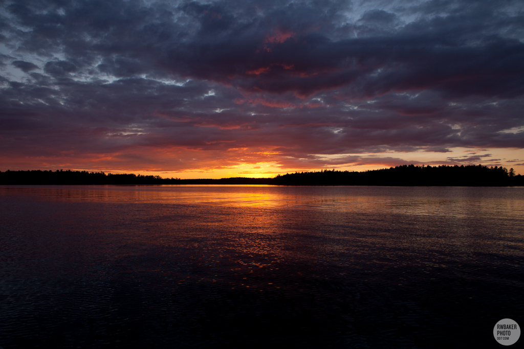
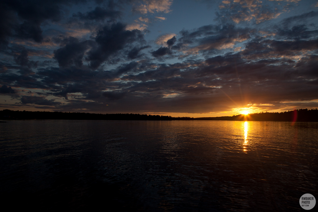
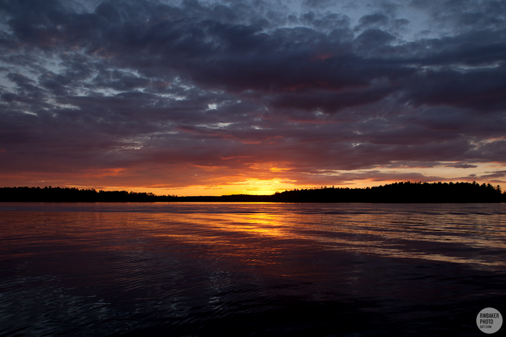
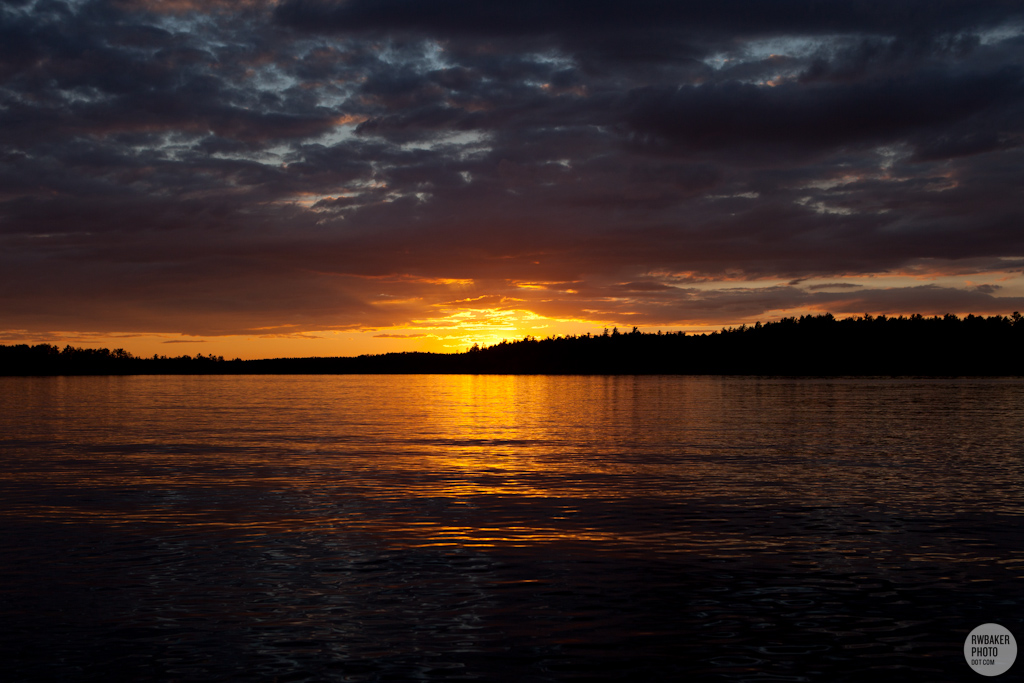
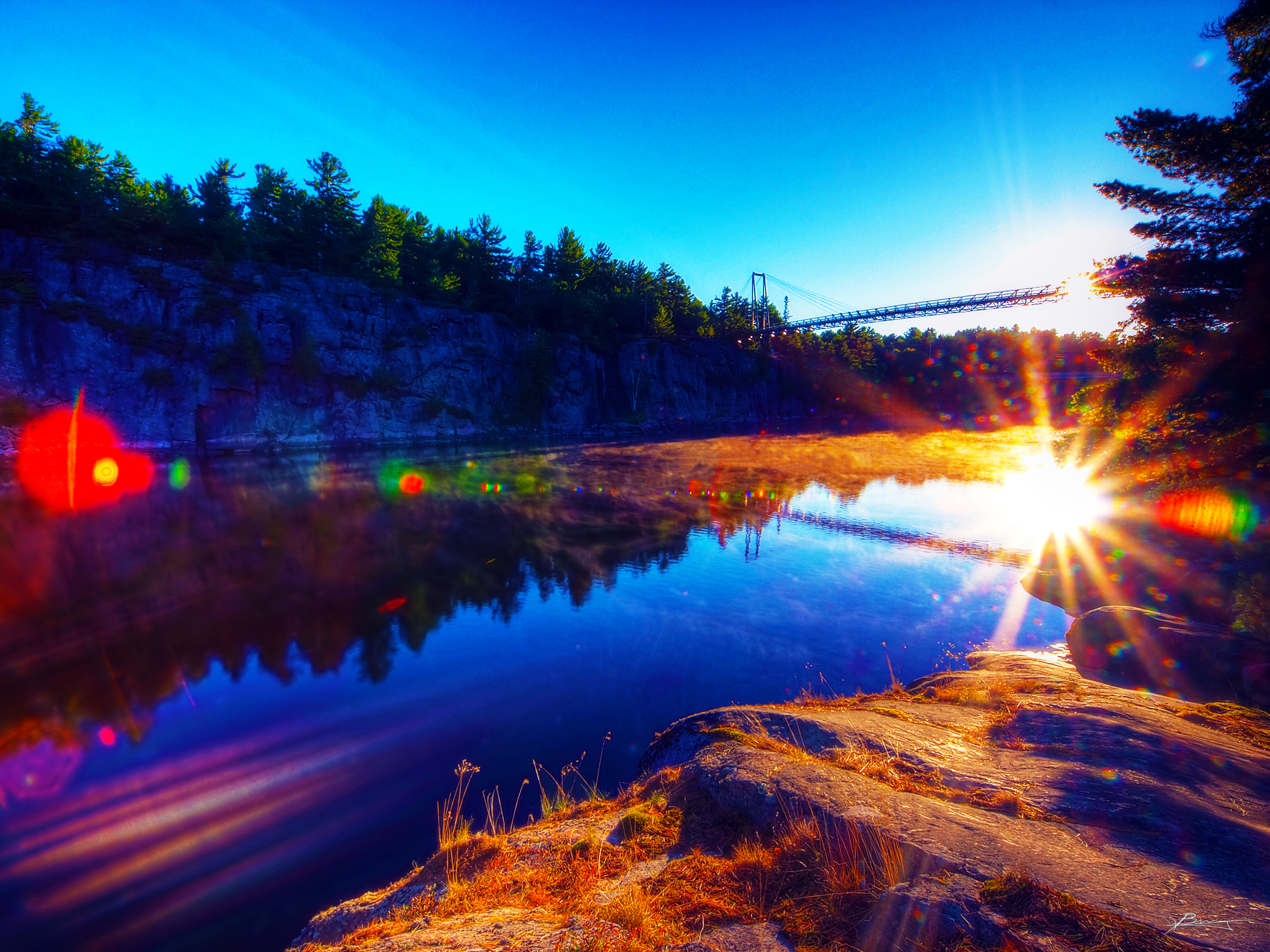
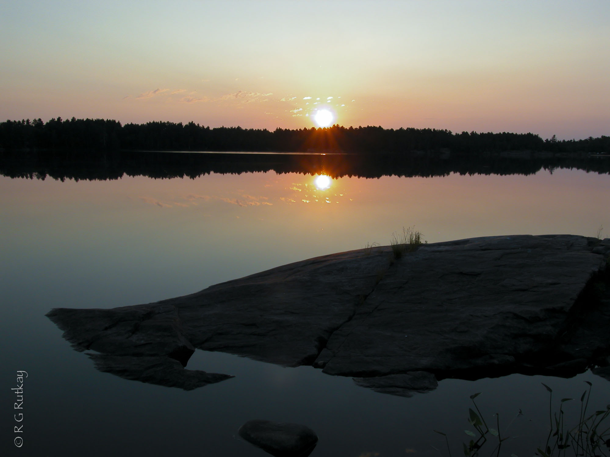
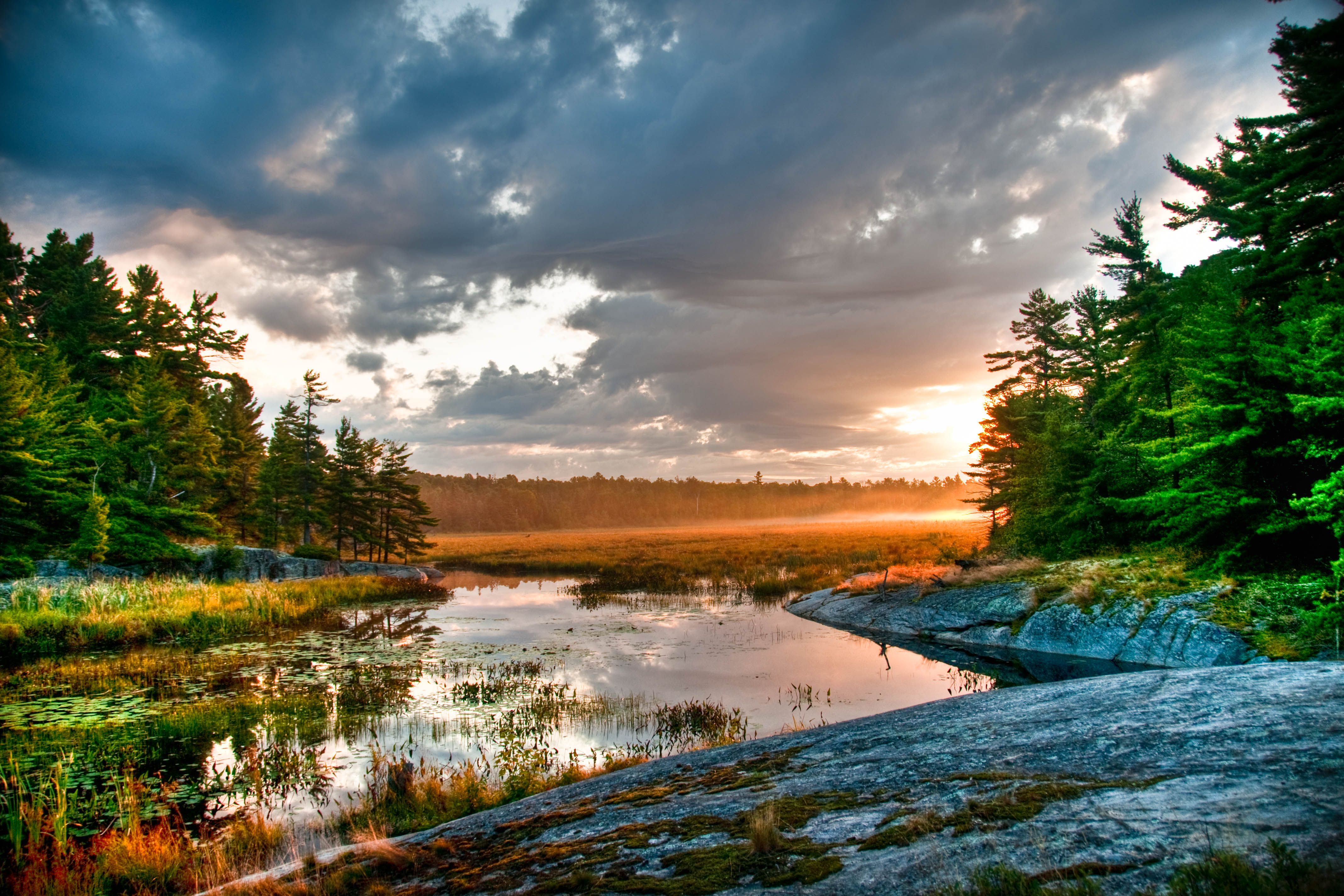
Fotos
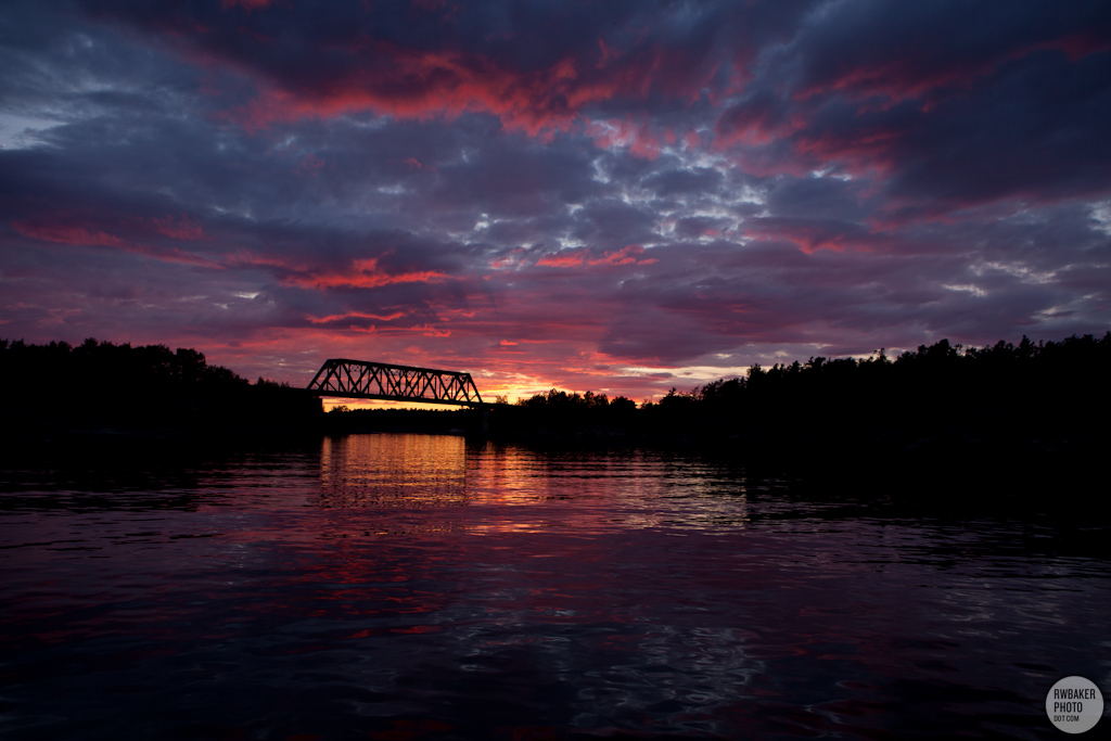
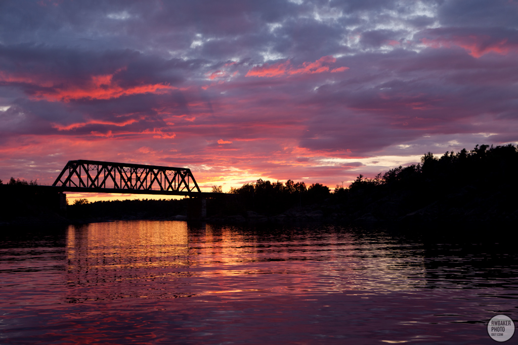
copper.morning
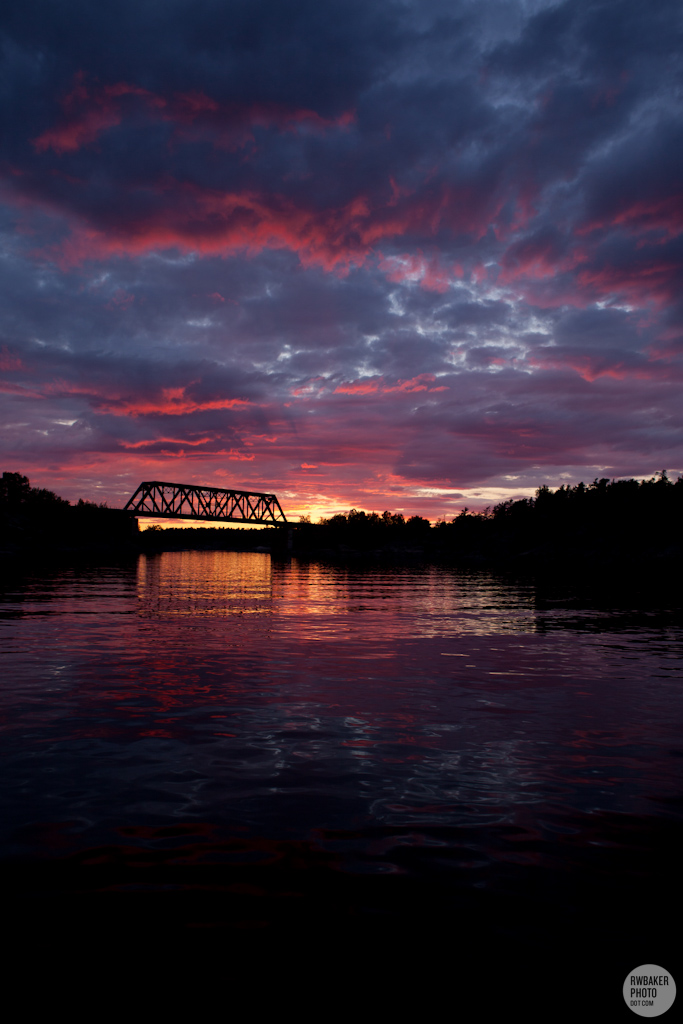
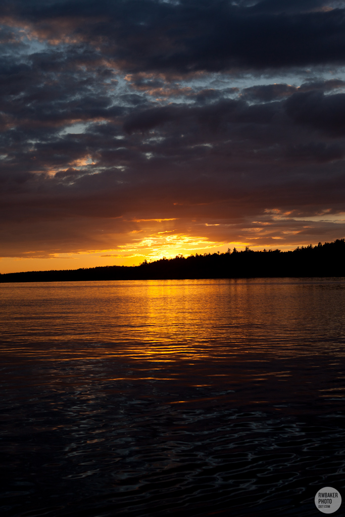
End of the Day
brass.morning

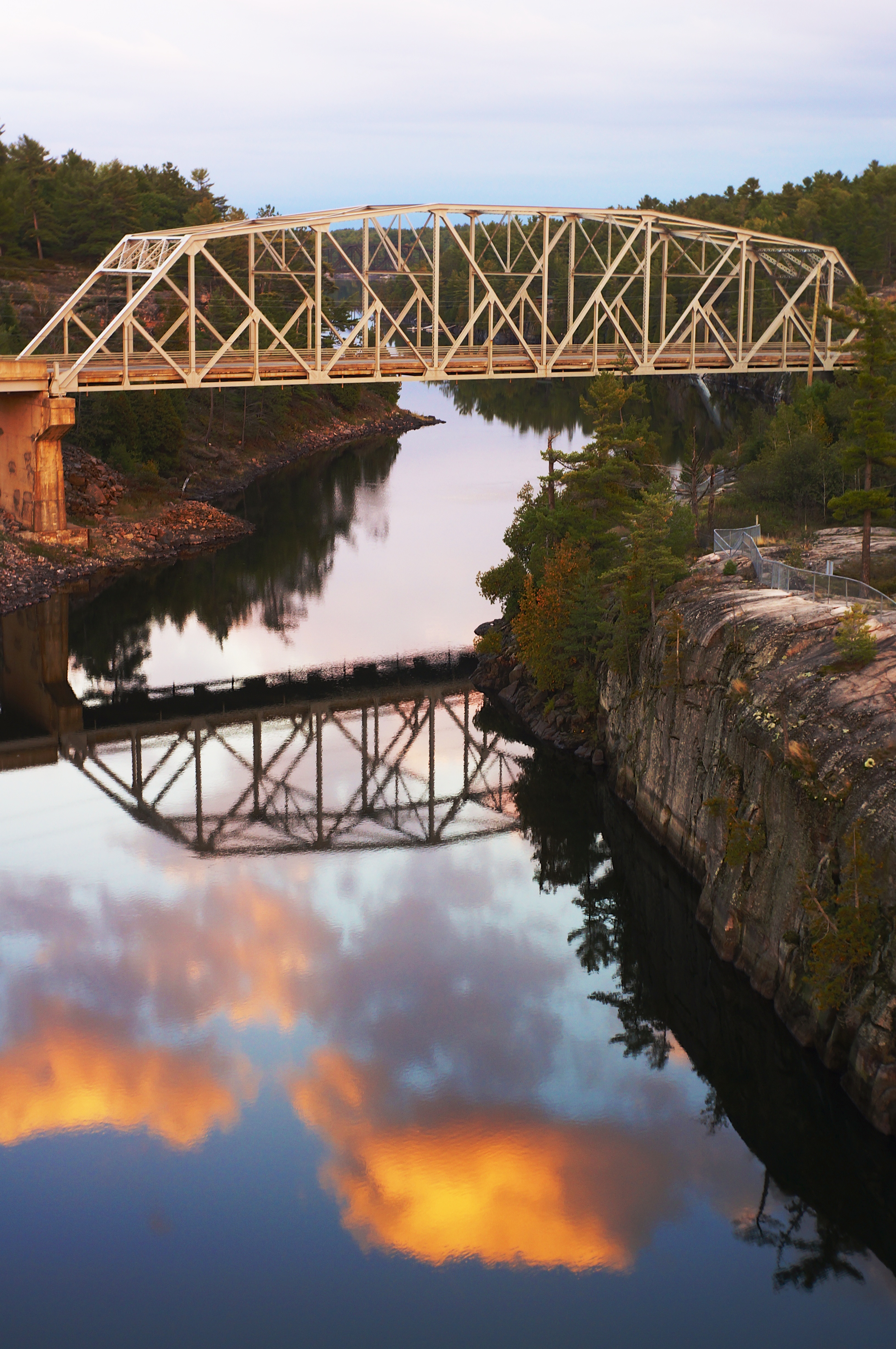
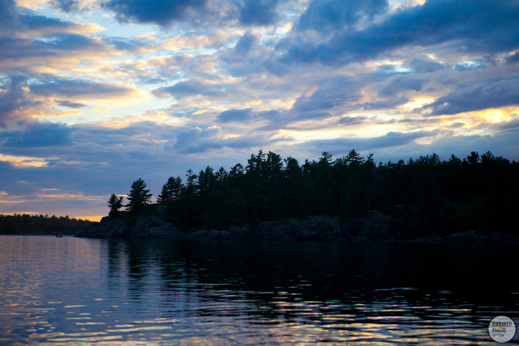
Moosehorn Bay, French River
IMG_9600.jpg
IMG_9588.jpg
IMG_9431.jpg
IMG_9570.jpg
IMG_9516.jpg
glimpse of a dream
IMG_9492.jpg
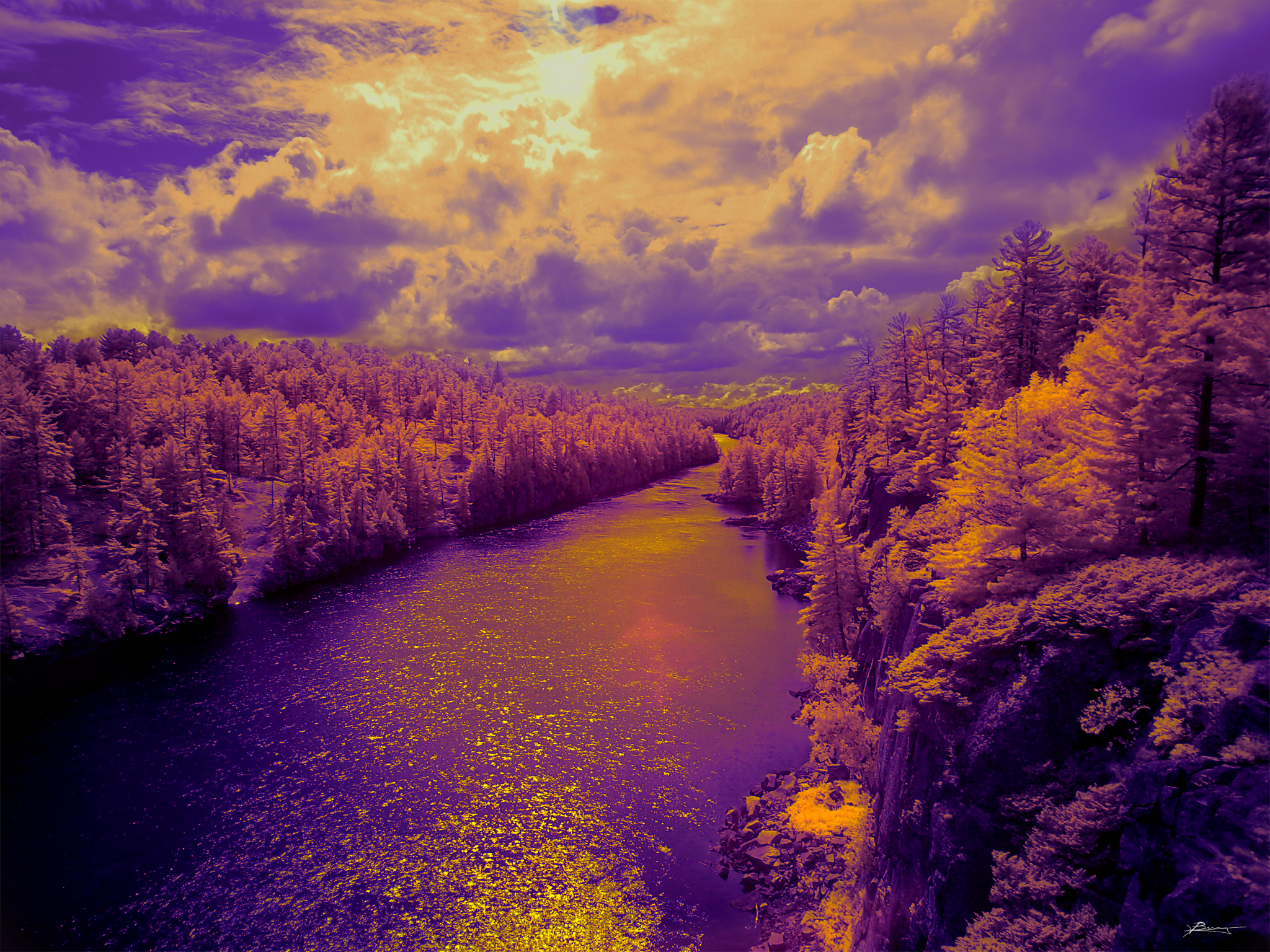
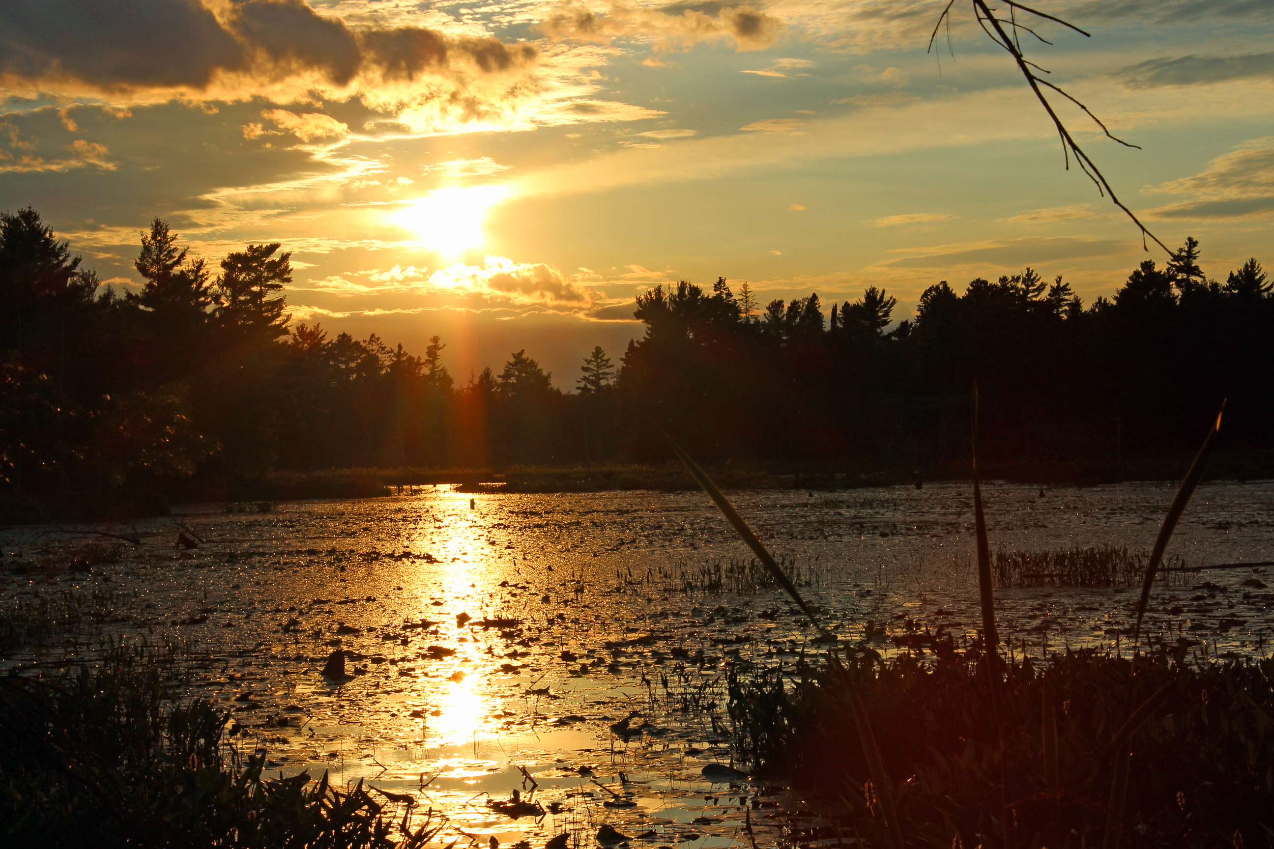
French River
IMG_9430.jpg
IMG_9489.jpg
IMG_9660.jpg
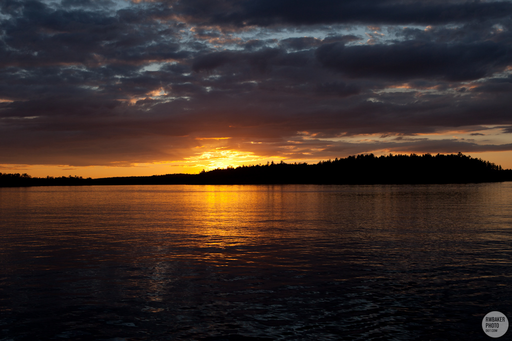
Sunset at Pakeshkag Lake Road, Grundy Lake Provincial Park
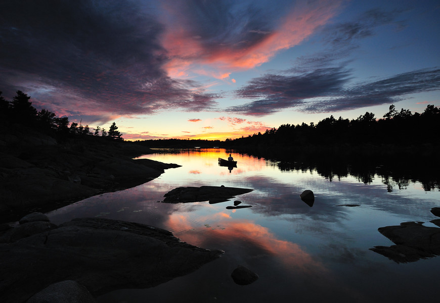
Sunset and Canoe, French River
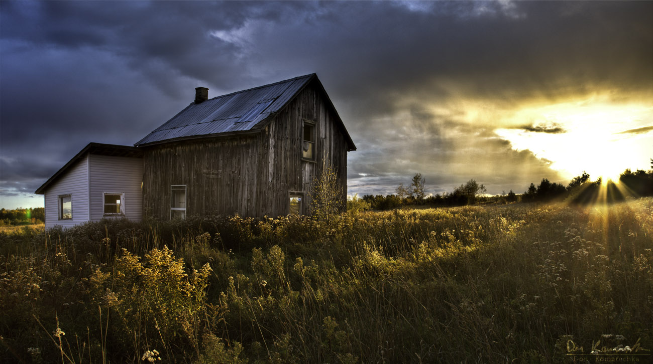
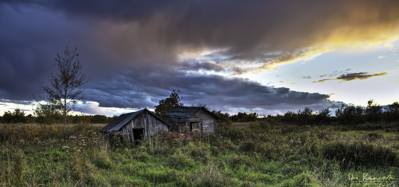
Abandoned, But Not Forgotten
IMG_9386.jpg
IMG_9597.jpg
IMG_9590.jpg

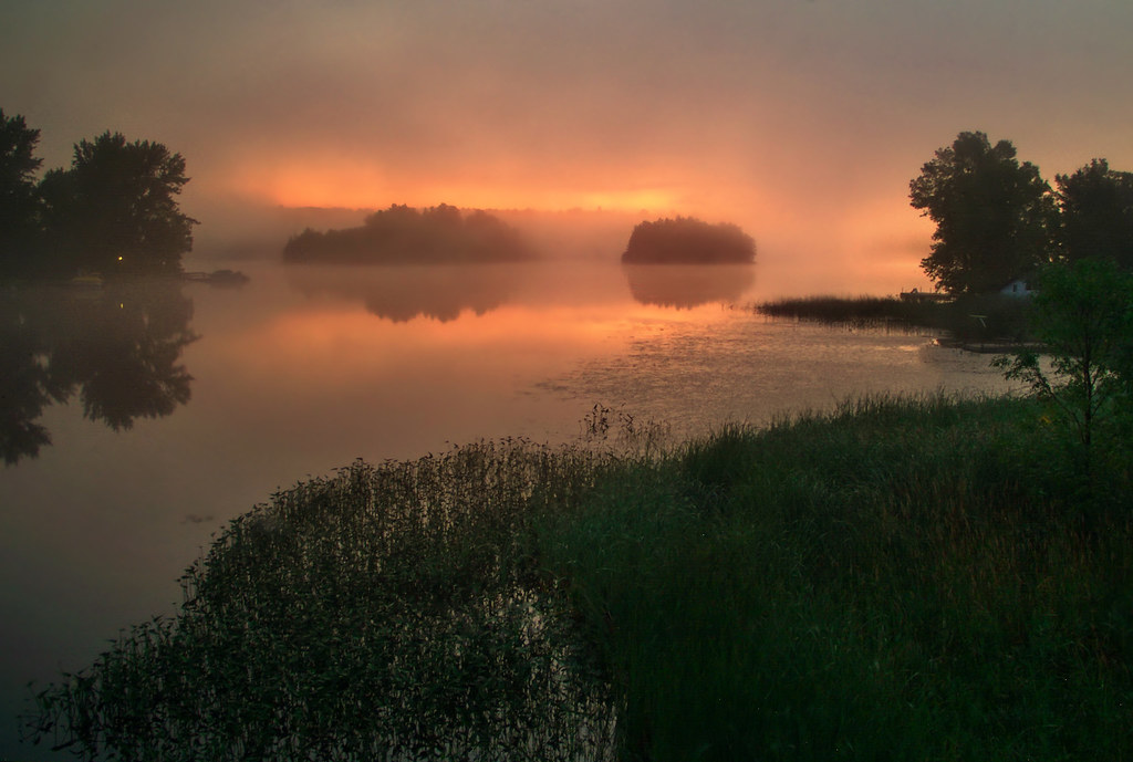
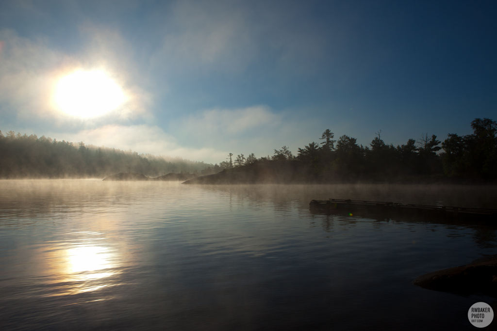
Grundy Misty Morning-1363
early mist
Grundy Lake-9941
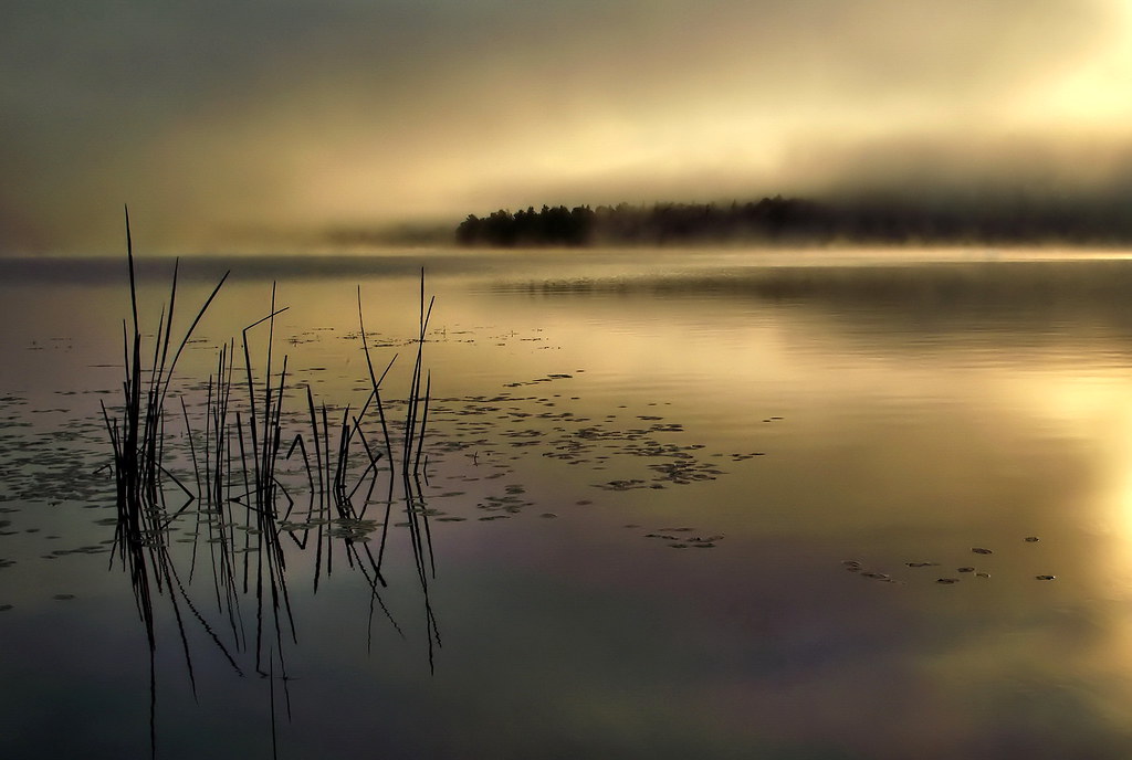
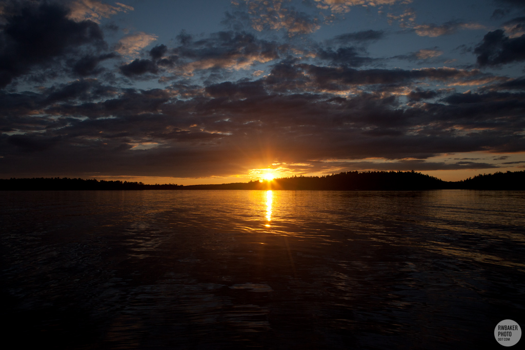
First Light
Hartley Bay Rd, Killarney, ON P0M, Kanada Karte
Suchen Sie einen anderen Ort
Nahe Plätze
Hartley Bay Rd, Killarney, ON P0M, Kanada
Trans-Canada Hwy, Killarney, ON P0M, Kanada
ON-64, French River, ON P0M, Kanada
Dry Pine Bay, French River, ON, Kanada
Trans-Canada Hwy, Killarney, ON P0G, Kanada
Eighteen Mile Bay, French River, ON, Kanada
French River, ON, Kanada
French River, Ontario, Kanada
Green Bay Rd, Noëlville, ON P0M 2N0, Kanada
ON-64, Noëlville, ON P0M 2N0, Kanada
ON-69, Parry Sound, Unorganized, Centre Part, ON P0G, Kanada
Parry Sound, Unorganized, Centre Part, ON, Kanada
Casimir Rd, St.-Charles, ON P0M 2W0, Kanada
St.-Charles, ON, Kanada
ON-A, Byng Inlet, ON P0G 1B0, Kanada
Manitoulin, Unorganized, Mainland, ON, Kanada
ON-A, Noëlville, ON P0M 2N0, Kanada
Port Loring, ON P0H 1Y0, Kanada
The Archipelago, ON, Kanada
Lavigne, West Nipissing, ON, Kanada
Letzte Suche
- Mountain View, CA, USA Sonnenaufgang Sonnenuntergang Zeiten
- Road to the sky observatory, Shuenhigashi, Shari, Shari District, Hokkaido -, Japan Sonnenaufgang Sonnenuntergang Zeiten
- 海岸咖啡, No. 31號, Chaishan Ave, Gushan District, Kaohsiung City, Taiwan Sonnenaufgang Sonnenuntergang Zeiten
- Estates Loop, Priest River, ID, USA Sonnenaufgang Sonnenuntergang Zeiten
- Woodland Oak Pl, Thousand Oaks, CA, USA Sonnenaufgang Sonnenuntergang Zeiten
- Sarangdanda, Nepal Sonnenaufgang Sonnenuntergang Zeiten
- Nakanoshima, Shiogama, Miyagi -, Japan Sonnenaufgang Sonnenuntergang Zeiten
- Centre de recherche en astronomie, astrophysique et géophysique, bp - 63 Rte de l'Observatoire, Bouz Sonnenaufgang Sonnenuntergang Zeiten
- Crocker Dr, Vacaville, CA, USA Sonnenaufgang Sonnenuntergang Zeiten
- Pu Ngaol Community Meeting Hall, HWHM+3X7, Krong Saen Monourom, Cambodia Sonnenaufgang Sonnenuntergang Zeiten