Fortyniner Ln, Bonners Ferry, ID, USA Sonnenaufgang Sonnenuntergang Zeiten
Location: USA > Idaho > Bonners Ferry >
Zeitzone:
America/Los_Angeles
Ortszeit:
2024-05-05 10:00:13
Länge:
-116.2673383
Breite:
48.8372363
Sonnenaufgang Heute:
05:14:34 AM
Sonnenuntergang Heute:
08:08:41 PM
Tageslänge heute:
14h 54m 7s
Sonnenaufgang morgen:
05:13:02 AM
Sonnenuntergang Morgen:
08:10:06 PM
Tageslänge von morgen:
14h 57m 4s
Alle Termine anzeigen
| Datum | Sonnenaufgang | Sonnenuntergang | Tageslänge |
|---|---|---|---|
| 2024-01-01 | 07:38:13 AM | 03:59:39 PM | 8h 21m 26s |
| 2024-01-02 | 07:38:07 AM | 04:00:41 PM | 8h 22m 34s |
| 2024-01-03 | 07:37:59 AM | 04:01:44 PM | 8h 23m 45s |
| 2024-01-04 | 07:37:47 AM | 04:02:50 PM | 8h 25m 3s |
| 2024-01-05 | 07:37:32 AM | 04:03:58 PM | 8h 26m 26s |
| 2024-01-06 | 07:37:14 AM | 04:05:08 PM | 8h 27m 54s |
| 2024-01-07 | 07:36:53 AM | 04:06:21 PM | 8h 29m 28s |
| 2024-01-08 | 07:36:30 AM | 04:07:35 PM | 8h 31m 5s |
| 2024-01-09 | 07:36:03 AM | 04:08:50 PM | 8h 32m 47s |
| 2024-01-10 | 07:35:34 AM | 04:10:08 PM | 8h 34m 34s |
| 2024-01-11 | 07:35:01 AM | 04:11:27 PM | 8h 36m 26s |
| 2024-01-12 | 07:34:26 AM | 04:12:48 PM | 8h 38m 22s |
| 2024-01-13 | 07:33:48 AM | 04:14:10 PM | 8h 40m 22s |
| 2024-01-14 | 07:33:08 AM | 04:15:34 PM | 8h 42m 26s |
| 2024-01-15 | 07:32:24 AM | 04:16:59 PM | 8h 44m 35s |
| 2024-01-16 | 07:31:38 AM | 04:18:26 PM | 8h 46m 48s |
| 2024-01-17 | 07:30:50 AM | 04:19:53 PM | 8h 49m 3s |
| 2024-01-18 | 07:29:58 AM | 04:21:22 PM | 8h 51m 24s |
| 2024-01-19 | 07:29:05 AM | 04:22:52 PM | 8h 53m 47s |
| 2024-01-20 | 07:28:08 AM | 04:24:23 PM | 8h 56m 15s |
| 2024-01-21 | 07:27:09 AM | 04:25:55 PM | 8h 58m 46s |
| 2024-01-22 | 07:26:08 AM | 04:27:28 PM | 9h 1m 20s |
| 2024-01-23 | 07:25:05 AM | 04:29:01 PM | 9h 3m 56s |
| 2024-01-24 | 07:23:59 AM | 04:30:36 PM | 9h 6m 37s |
| 2024-01-25 | 07:22:51 AM | 04:32:10 PM | 9h 9m 19s |
| 2024-01-26 | 07:21:40 AM | 04:33:46 PM | 9h 12m 6s |
| 2024-01-27 | 07:20:28 AM | 04:35:22 PM | 9h 14m 54s |
| 2024-01-28 | 07:19:13 AM | 04:36:59 PM | 9h 17m 46s |
| 2024-01-29 | 07:17:57 AM | 04:38:36 PM | 9h 20m 39s |
| 2024-01-30 | 07:16:38 AM | 04:40:14 PM | 9h 23m 36s |
| 2024-01-31 | 07:15:17 AM | 04:41:51 PM | 9h 26m 34s |
| 2024-02-01 | 07:13:54 AM | 04:43:30 PM | 9h 29m 36s |
| 2024-02-02 | 07:12:30 AM | 04:45:08 PM | 9h 32m 38s |
| 2024-02-03 | 07:11:03 AM | 04:46:47 PM | 9h 35m 44s |
| 2024-02-04 | 07:09:35 AM | 04:48:26 PM | 9h 38m 51s |
| 2024-02-05 | 07:08:05 AM | 04:50:05 PM | 9h 42m 0s |
| 2024-02-06 | 07:06:34 AM | 04:51:44 PM | 9h 45m 10s |
| 2024-02-07 | 07:05:00 AM | 04:53:23 PM | 9h 48m 23s |
| 2024-02-08 | 07:03:26 AM | 04:55:02 PM | 9h 51m 36s |
| 2024-02-09 | 07:01:49 AM | 04:56:41 PM | 9h 54m 52s |
| 2024-02-10 | 07:00:11 AM | 04:58:20 PM | 9h 58m 9s |
| 2024-02-11 | 06:58:32 AM | 04:59:59 PM | 10h 1m 27s |
| 2024-02-12 | 06:56:51 AM | 05:01:38 PM | 10h 4m 47s |
| 2024-02-13 | 06:55:09 AM | 05:03:17 PM | 10h 8m 8s |
| 2024-02-14 | 06:53:25 AM | 05:04:55 PM | 10h 11m 30s |
| 2024-02-15 | 06:51:40 AM | 05:06:34 PM | 10h 14m 54s |
| 2024-02-16 | 06:49:54 AM | 05:08:12 PM | 10h 18m 18s |
| 2024-02-17 | 06:48:07 AM | 05:09:50 PM | 10h 21m 43s |
| 2024-02-18 | 06:46:18 AM | 05:11:28 PM | 10h 25m 10s |
| 2024-02-19 | 06:44:29 AM | 05:13:06 PM | 10h 28m 37s |
| 2024-02-20 | 06:42:38 AM | 05:14:43 PM | 10h 32m 5s |
| 2024-02-21 | 06:40:47 AM | 05:16:21 PM | 10h 35m 34s |
| 2024-02-22 | 06:38:54 AM | 05:17:58 PM | 10h 39m 4s |
| 2024-02-23 | 06:37:00 AM | 05:19:34 PM | 10h 42m 34s |
| 2024-02-24 | 06:35:06 AM | 05:21:11 PM | 10h 46m 5s |
| 2024-02-25 | 06:33:10 AM | 05:22:47 PM | 10h 49m 37s |
| 2024-02-26 | 06:31:14 AM | 05:24:23 PM | 10h 53m 9s |
| 2024-02-27 | 06:29:17 AM | 05:25:59 PM | 10h 56m 42s |
| 2024-02-28 | 06:27:19 AM | 05:27:34 PM | 11h 0m 15s |
| 2024-02-29 | 06:25:20 AM | 05:29:09 PM | 11h 3m 49s |
| 2024-03-01 | 06:23:21 AM | 05:30:44 PM | 11h 7m 23s |
| 2024-03-02 | 06:21:21 AM | 05:32:18 PM | 11h 10m 57s |
| 2024-03-03 | 06:19:20 AM | 05:33:53 PM | 11h 14m 33s |
| 2024-03-04 | 06:17:19 AM | 05:35:27 PM | 11h 18m 8s |
| 2024-03-05 | 06:15:17 AM | 05:37:00 PM | 11h 21m 43s |
| 2024-03-06 | 06:13:15 AM | 05:38:34 PM | 11h 25m 19s |
| 2024-03-07 | 06:11:12 AM | 05:40:07 PM | 11h 28m 55s |
| 2024-03-08 | 06:09:09 AM | 05:41:40 PM | 11h 32m 31s |
| 2024-03-09 | 06:07:05 AM | 05:43:13 PM | 11h 36m 8s |
| 2024-03-10 | 07:05:06 AM | 06:44:41 PM | 11h 39m 35s |
| 2024-03-11 | 07:03:02 AM | 06:46:13 PM | 11h 43m 11s |
| 2024-03-12 | 07:00:57 AM | 06:47:45 PM | 11h 46m 48s |
| 2024-03-13 | 06:58:52 AM | 06:49:17 PM | 11h 50m 25s |
| 2024-03-14 | 06:56:46 AM | 06:50:49 PM | 11h 54m 3s |
| 2024-03-15 | 06:54:41 AM | 06:52:20 PM | 11h 57m 39s |
| 2024-03-16 | 06:52:35 AM | 06:53:52 PM | 12h 1m 17s |
| 2024-03-17 | 06:50:29 AM | 06:55:23 PM | 12h 4m 54s |
| 2024-03-18 | 06:48:23 AM | 06:56:54 PM | 12h 8m 31s |
| 2024-03-19 | 06:46:17 AM | 06:58:24 PM | 12h 12m 7s |
| 2024-03-20 | 06:44:10 AM | 06:59:55 PM | 12h 15m 45s |
| 2024-03-21 | 06:42:04 AM | 07:01:25 PM | 12h 19m 21s |
| 2024-03-22 | 06:39:58 AM | 07:02:56 PM | 12h 22m 58s |
| 2024-03-23 | 06:37:51 AM | 07:04:26 PM | 12h 26m 35s |
| 2024-03-24 | 06:35:45 AM | 07:05:56 PM | 12h 30m 11s |
| 2024-03-25 | 06:33:39 AM | 07:07:26 PM | 12h 33m 47s |
| 2024-03-26 | 06:31:32 AM | 07:08:56 PM | 12h 37m 24s |
| 2024-03-27 | 06:29:26 AM | 07:10:26 PM | 12h 41m 0s |
| 2024-03-28 | 06:27:21 AM | 07:11:56 PM | 12h 44m 35s |
| 2024-03-29 | 06:25:15 AM | 07:13:25 PM | 12h 48m 10s |
| 2024-03-30 | 06:23:10 AM | 07:14:55 PM | 12h 51m 45s |
| 2024-03-31 | 06:21:04 AM | 07:16:25 PM | 12h 55m 21s |
| 2024-04-01 | 06:18:59 AM | 07:17:54 PM | 12h 58m 55s |
| 2024-04-02 | 06:16:55 AM | 07:19:24 PM | 13h 2m 29s |
| 2024-04-03 | 06:14:51 AM | 07:20:53 PM | 13h 6m 2s |
| 2024-04-04 | 06:12:47 AM | 07:22:23 PM | 13h 9m 36s |
| 2024-04-05 | 06:10:44 AM | 07:23:52 PM | 13h 13m 8s |
| 2024-04-06 | 06:08:41 AM | 07:25:22 PM | 13h 16m 41s |
| 2024-04-07 | 06:06:38 AM | 07:26:51 PM | 13h 20m 13s |
| 2024-04-08 | 06:04:36 AM | 07:28:21 PM | 13h 23m 45s |
| 2024-04-09 | 06:02:35 AM | 07:29:50 PM | 13h 27m 15s |
| 2024-04-10 | 06:00:34 AM | 07:31:19 PM | 13h 30m 45s |
| 2024-04-11 | 05:58:34 AM | 07:32:49 PM | 13h 34m 15s |
| 2024-04-12 | 05:56:34 AM | 07:34:18 PM | 13h 37m 44s |
| 2024-04-13 | 05:54:36 AM | 07:35:47 PM | 13h 41m 11s |
| 2024-04-14 | 05:52:37 AM | 07:37:17 PM | 13h 44m 40s |
| 2024-04-15 | 05:50:40 AM | 07:38:46 PM | 13h 48m 6s |
| 2024-04-16 | 05:48:44 AM | 07:40:15 PM | 13h 51m 31s |
| 2024-04-17 | 05:46:48 AM | 07:41:45 PM | 13h 54m 57s |
| 2024-04-18 | 05:44:53 AM | 07:43:14 PM | 13h 58m 21s |
| 2024-04-19 | 05:42:59 AM | 07:44:43 PM | 14h 1m 44s |
| 2024-04-20 | 05:41:06 AM | 07:46:12 PM | 14h 5m 6s |
| 2024-04-21 | 05:39:14 AM | 07:47:41 PM | 14h 8m 27s |
| 2024-04-22 | 05:37:23 AM | 07:49:10 PM | 14h 11m 47s |
| 2024-04-23 | 05:35:33 AM | 07:50:39 PM | 14h 15m 6s |
| 2024-04-24 | 05:33:44 AM | 07:52:08 PM | 14h 18m 24s |
| 2024-04-25 | 05:31:56 AM | 07:53:36 PM | 14h 21m 40s |
| 2024-04-26 | 05:30:09 AM | 07:55:05 PM | 14h 24m 56s |
| 2024-04-27 | 05:28:24 AM | 07:56:33 PM | 14h 28m 9s |
| 2024-04-28 | 05:26:40 AM | 07:58:01 PM | 14h 31m 21s |
| 2024-04-29 | 05:24:57 AM | 07:59:29 PM | 14h 34m 32s |
| 2024-04-30 | 05:23:15 AM | 08:00:56 PM | 14h 37m 41s |
| 2024-05-01 | 05:21:35 AM | 08:02:23 PM | 14h 40m 48s |
| 2024-05-02 | 05:19:56 AM | 08:03:50 PM | 14h 43m 54s |
| 2024-05-03 | 05:18:19 AM | 08:05:17 PM | 14h 46m 58s |
| 2024-05-04 | 05:16:43 AM | 08:06:43 PM | 14h 50m 0s |
| 2024-05-05 | 05:15:09 AM | 08:08:09 PM | 14h 53m 0s |
| 2024-05-06 | 05:13:36 AM | 08:09:34 PM | 14h 55m 58s |
| 2024-05-07 | 05:12:05 AM | 08:10:59 PM | 14h 58m 54s |
| 2024-05-08 | 05:10:35 AM | 08:12:23 PM | 15h 1m 48s |
| 2024-05-09 | 05:09:08 AM | 08:13:47 PM | 15h 4m 39s |
| 2024-05-10 | 05:07:42 AM | 08:15:10 PM | 15h 7m 28s |
| 2024-05-11 | 05:06:18 AM | 08:16:33 PM | 15h 10m 15s |
| 2024-05-12 | 05:04:55 AM | 08:17:55 PM | 15h 13m 0s |
| 2024-05-13 | 05:03:35 AM | 08:19:16 PM | 15h 15m 41s |
| 2024-05-14 | 05:02:16 AM | 08:20:36 PM | 15h 18m 20s |
| 2024-05-15 | 05:00:59 AM | 08:21:56 PM | 15h 20m 57s |
| 2024-05-16 | 04:59:45 AM | 08:23:14 PM | 15h 23m 29s |
| 2024-05-17 | 04:58:32 AM | 08:24:32 PM | 15h 26m 0s |
| 2024-05-18 | 04:57:22 AM | 08:25:49 PM | 15h 28m 27s |
| 2024-05-19 | 04:56:13 AM | 08:27:04 PM | 15h 30m 51s |
| 2024-05-20 | 04:55:07 AM | 08:28:19 PM | 15h 33m 12s |
| 2024-05-21 | 04:54:03 AM | 08:29:32 PM | 15h 35m 29s |
| 2024-05-22 | 04:53:02 AM | 08:30:44 PM | 15h 37m 42s |
| 2024-05-23 | 04:52:02 AM | 08:31:55 PM | 15h 39m 53s |
| 2024-05-24 | 04:51:05 AM | 08:33:04 PM | 15h 41m 59s |
| 2024-05-25 | 04:50:10 AM | 08:34:13 PM | 15h 44m 3s |
| 2024-05-26 | 04:49:18 AM | 08:35:19 PM | 15h 46m 1s |
| 2024-05-27 | 04:48:28 AM | 08:36:24 PM | 15h 47m 56s |
| 2024-05-28 | 04:47:41 AM | 08:37:28 PM | 15h 49m 47s |
| 2024-05-29 | 04:46:56 AM | 08:38:30 PM | 15h 51m 34s |
| 2024-05-30 | 04:46:14 AM | 08:39:30 PM | 15h 53m 16s |
| 2024-05-31 | 04:45:34 AM | 08:40:28 PM | 15h 54m 54s |
| 2024-06-01 | 04:44:56 AM | 08:41:25 PM | 15h 56m 29s |
| 2024-06-02 | 04:44:22 AM | 08:42:20 PM | 15h 57m 58s |
| 2024-06-03 | 04:43:50 AM | 08:43:13 PM | 15h 59m 23s |
| 2024-06-04 | 04:43:20 AM | 08:44:03 PM | 16h 0m 43s |
| 2024-06-05 | 04:42:54 AM | 08:44:52 PM | 16h 1m 58s |
| 2024-06-06 | 04:42:30 AM | 08:45:39 PM | 16h 3m 9s |
| 2024-06-07 | 04:42:08 AM | 08:46:23 PM | 16h 4m 15s |
| 2024-06-08 | 04:41:50 AM | 08:47:06 PM | 16h 5m 16s |
| 2024-06-09 | 04:41:34 AM | 08:47:46 PM | 16h 6m 12s |
| 2024-06-10 | 04:41:21 AM | 08:48:23 PM | 16h 7m 2s |
| 2024-06-11 | 04:41:10 AM | 08:48:59 PM | 16h 7m 49s |
| 2024-06-12 | 04:41:02 AM | 08:49:32 PM | 16h 8m 30s |
| 2024-06-13 | 04:40:57 AM | 08:50:02 PM | 16h 9m 5s |
| 2024-06-14 | 04:40:55 AM | 08:50:30 PM | 16h 9m 35s |
| 2024-06-15 | 04:40:56 AM | 08:50:56 PM | 16h 10m 0s |
| 2024-06-16 | 04:40:59 AM | 08:51:19 PM | 16h 10m 20s |
| 2024-06-17 | 04:41:04 AM | 08:51:39 PM | 16h 10m 35s |
| 2024-06-18 | 04:41:13 AM | 08:51:57 PM | 16h 10m 44s |
| 2024-06-19 | 04:41:24 AM | 08:52:12 PM | 16h 10m 48s |
| 2024-06-20 | 04:41:38 AM | 08:52:24 PM | 16h 10m 46s |
| 2024-06-21 | 04:41:54 AM | 08:52:34 PM | 16h 10m 40s |
| 2024-06-22 | 04:42:13 AM | 08:52:41 PM | 16h 10m 28s |
| 2024-06-23 | 04:42:34 AM | 08:52:45 PM | 16h 10m 11s |
| 2024-06-24 | 04:42:58 AM | 08:52:46 PM | 16h 9m 48s |
| 2024-06-25 | 04:43:25 AM | 08:52:45 PM | 16h 9m 20s |
| 2024-06-26 | 04:43:54 AM | 08:52:41 PM | 16h 8m 47s |
| 2024-06-27 | 04:44:25 AM | 08:52:34 PM | 16h 8m 9s |
| 2024-06-28 | 04:44:58 AM | 08:52:25 PM | 16h 7m 27s |
| 2024-06-29 | 04:45:34 AM | 08:52:12 PM | 16h 6m 38s |
| 2024-06-30 | 04:46:13 AM | 08:51:57 PM | 16h 5m 44s |
| 2024-07-01 | 04:46:53 AM | 08:51:39 PM | 16h 4m 46s |
| 2024-07-02 | 04:47:35 AM | 08:51:19 PM | 16h 3m 44s |
| 2024-07-03 | 04:48:20 AM | 08:50:55 PM | 16h 2m 35s |
| 2024-07-04 | 04:49:07 AM | 08:50:29 PM | 16h 1m 22s |
| 2024-07-05 | 04:49:55 AM | 08:50:00 PM | 16h 0m 5s |
| 2024-07-06 | 04:50:46 AM | 08:49:29 PM | 15h 58m 43s |
| 2024-07-07 | 04:51:38 AM | 08:48:55 PM | 15h 57m 17s |
| 2024-07-08 | 04:52:33 AM | 08:48:18 PM | 15h 55m 45s |
| 2024-07-09 | 04:53:29 AM | 08:47:38 PM | 15h 54m 9s |
| 2024-07-10 | 04:54:26 AM | 08:46:56 PM | 15h 52m 30s |
| 2024-07-11 | 04:55:26 AM | 08:46:12 PM | 15h 50m 46s |
| 2024-07-12 | 04:56:27 AM | 08:45:25 PM | 15h 48m 58s |
| 2024-07-13 | 04:57:29 AM | 08:44:35 PM | 15h 47m 6s |
| 2024-07-14 | 04:58:33 AM | 08:43:43 PM | 15h 45m 10s |
| 2024-07-15 | 04:59:38 AM | 08:42:48 PM | 15h 43m 10s |
| 2024-07-16 | 05:00:45 AM | 08:41:52 PM | 15h 41m 7s |
| 2024-07-17 | 05:01:53 AM | 08:40:52 PM | 15h 38m 59s |
| 2024-07-18 | 05:03:02 AM | 08:39:51 PM | 15h 36m 49s |
| 2024-07-19 | 05:04:13 AM | 08:38:47 PM | 15h 34m 34s |
| 2024-07-20 | 05:05:24 AM | 08:37:41 PM | 15h 32m 17s |
| 2024-07-21 | 05:06:37 AM | 08:36:32 PM | 15h 29m 55s |
| 2024-07-22 | 05:07:50 AM | 08:35:22 PM | 15h 27m 32s |
| 2024-07-23 | 05:09:05 AM | 08:34:09 PM | 15h 25m 4s |
| 2024-07-24 | 05:10:20 AM | 08:32:55 PM | 15h 22m 35s |
| 2024-07-25 | 05:11:36 AM | 08:31:38 PM | 15h 20m 2s |
| 2024-07-26 | 05:12:53 AM | 08:30:19 PM | 15h 17m 26s |
| 2024-07-27 | 05:14:11 AM | 08:28:58 PM | 15h 14m 47s |
| 2024-07-28 | 05:15:29 AM | 08:27:36 PM | 15h 12m 7s |
| 2024-07-29 | 05:16:48 AM | 08:26:12 PM | 15h 9m 24s |
| 2024-07-30 | 05:18:08 AM | 08:24:45 PM | 15h 6m 37s |
| 2024-07-31 | 05:19:28 AM | 08:23:17 PM | 15h 3m 49s |
| 2024-08-01 | 05:20:49 AM | 08:21:48 PM | 15h 0m 59s |
| 2024-08-02 | 05:22:10 AM | 08:20:16 PM | 14h 58m 6s |
| 2024-08-03 | 05:23:32 AM | 08:18:43 PM | 14h 55m 11s |
| 2024-08-04 | 05:24:54 AM | 08:17:08 PM | 14h 52m 14s |
| 2024-08-05 | 05:26:16 AM | 08:15:32 PM | 14h 49m 16s |
| 2024-08-06 | 05:27:39 AM | 08:13:54 PM | 14h 46m 15s |
| 2024-08-07 | 05:29:02 AM | 08:12:15 PM | 14h 43m 13s |
| 2024-08-08 | 05:30:26 AM | 08:10:34 PM | 14h 40m 8s |
| 2024-08-09 | 05:31:49 AM | 08:08:52 PM | 14h 37m 3s |
| 2024-08-10 | 05:33:13 AM | 08:07:09 PM | 14h 33m 56s |
| 2024-08-11 | 05:34:37 AM | 08:05:24 PM | 14h 30m 47s |
| 2024-08-12 | 05:36:01 AM | 08:03:38 PM | 14h 27m 37s |
| 2024-08-13 | 05:37:25 AM | 08:01:51 PM | 14h 24m 26s |
| 2024-08-14 | 05:38:50 AM | 08:00:03 PM | 14h 21m 13s |
| 2024-08-15 | 05:40:14 AM | 07:58:13 PM | 14h 17m 59s |
| 2024-08-16 | 05:41:39 AM | 07:56:22 PM | 14h 14m 43s |
| 2024-08-17 | 05:43:03 AM | 07:54:31 PM | 14h 11m 28s |
| 2024-08-18 | 05:44:28 AM | 07:52:38 PM | 14h 8m 10s |
| 2024-08-19 | 05:45:53 AM | 07:50:44 PM | 14h 4m 51s |
| 2024-08-20 | 05:47:18 AM | 07:48:49 PM | 14h 1m 31s |
| 2024-08-21 | 05:48:43 AM | 07:46:54 PM | 13h 58m 11s |
| 2024-08-22 | 05:50:07 AM | 07:44:57 PM | 13h 54m 50s |
| 2024-08-23 | 05:51:32 AM | 07:43:00 PM | 13h 51m 28s |
| 2024-08-24 | 05:52:57 AM | 07:41:02 PM | 13h 48m 5s |
| 2024-08-25 | 05:54:22 AM | 07:39:03 PM | 13h 44m 41s |
| 2024-08-26 | 05:55:47 AM | 07:37:03 PM | 13h 41m 16s |
| 2024-08-27 | 05:57:12 AM | 07:35:02 PM | 13h 37m 50s |
| 2024-08-28 | 05:58:36 AM | 07:33:01 PM | 13h 34m 25s |
| 2024-08-29 | 06:00:01 AM | 07:30:59 PM | 13h 30m 58s |
| 2024-08-30 | 06:01:26 AM | 07:28:57 PM | 13h 27m 31s |
| 2024-08-31 | 06:02:51 AM | 07:26:54 PM | 13h 24m 3s |
| 2024-09-01 | 06:04:15 AM | 07:24:51 PM | 13h 20m 36s |
| 2024-09-02 | 06:05:40 AM | 07:22:46 PM | 13h 17m 6s |
| 2024-09-03 | 06:07:05 AM | 07:20:42 PM | 13h 13m 37s |
| 2024-09-04 | 06:08:29 AM | 07:18:37 PM | 13h 10m 8s |
| 2024-09-05 | 06:09:54 AM | 07:16:32 PM | 13h 6m 38s |
| 2024-09-06 | 06:11:19 AM | 07:14:26 PM | 13h 3m 7s |
| 2024-09-07 | 06:12:43 AM | 07:12:20 PM | 12h 59m 37s |
| 2024-09-08 | 06:14:08 AM | 07:10:13 PM | 12h 56m 5s |
| 2024-09-09 | 06:15:33 AM | 07:08:06 PM | 12h 52m 33s |
| 2024-09-10 | 06:16:57 AM | 07:05:59 PM | 12h 49m 2s |
| 2024-09-11 | 06:18:22 AM | 07:03:52 PM | 12h 45m 30s |
| 2024-09-12 | 06:19:47 AM | 07:01:45 PM | 12h 41m 58s |
| 2024-09-13 | 06:21:12 AM | 06:59:37 PM | 12h 38m 25s |
| 2024-09-14 | 06:22:37 AM | 06:57:29 PM | 12h 34m 52s |
| 2024-09-15 | 06:24:02 AM | 06:55:21 PM | 12h 31m 19s |
| 2024-09-16 | 06:25:27 AM | 06:53:13 PM | 12h 27m 46s |
| 2024-09-17 | 06:26:52 AM | 06:51:05 PM | 12h 24m 13s |
| 2024-09-18 | 06:28:17 AM | 06:48:57 PM | 12h 20m 40s |
| 2024-09-19 | 06:29:43 AM | 06:46:49 PM | 12h 17m 6s |
| 2024-09-20 | 06:31:08 AM | 06:44:41 PM | 12h 13m 33s |
| 2024-09-21 | 06:32:34 AM | 06:42:33 PM | 12h 9m 59s |
| 2024-09-22 | 06:34:00 AM | 06:40:25 PM | 12h 6m 25s |
| 2024-09-23 | 06:35:26 AM | 06:38:17 PM | 12h 2m 51s |
| 2024-09-24 | 06:36:52 AM | 06:36:10 PM | 11h 59m 18s |
| 2024-09-25 | 06:38:18 AM | 06:34:02 PM | 11h 55m 44s |
| 2024-09-26 | 06:39:45 AM | 06:31:55 PM | 11h 52m 10s |
| 2024-09-27 | 06:41:12 AM | 06:29:48 PM | 11h 48m 36s |
| 2024-09-28 | 06:42:38 AM | 06:27:42 PM | 11h 45m 4s |
| 2024-09-29 | 06:44:06 AM | 06:25:35 PM | 11h 41m 29s |
| 2024-09-30 | 06:45:33 AM | 06:23:29 PM | 11h 37m 56s |
| 2024-10-01 | 06:47:01 AM | 06:21:24 PM | 11h 34m 23s |
| 2024-10-02 | 06:48:28 AM | 06:19:19 PM | 11h 30m 51s |
| 2024-10-03 | 06:49:57 AM | 06:17:14 PM | 11h 27m 17s |
| 2024-10-04 | 06:51:25 AM | 06:15:09 PM | 11h 23m 44s |
| 2024-10-05 | 06:52:54 AM | 06:13:06 PM | 11h 20m 12s |
| 2024-10-06 | 06:54:23 AM | 06:11:02 PM | 11h 16m 39s |
| 2024-10-07 | 06:55:52 AM | 06:09:00 PM | 11h 13m 8s |
| 2024-10-08 | 06:57:21 AM | 06:06:58 PM | 11h 9m 37s |
| 2024-10-09 | 06:58:51 AM | 06:04:56 PM | 11h 6m 5s |
| 2024-10-10 | 07:00:21 AM | 06:02:55 PM | 11h 2m 34s |
| 2024-10-11 | 07:01:52 AM | 06:00:55 PM | 10h 59m 3s |
| 2024-10-12 | 07:03:22 AM | 05:58:56 PM | 10h 55m 34s |
| 2024-10-13 | 07:04:53 AM | 05:56:57 PM | 10h 52m 4s |
| 2024-10-14 | 07:06:25 AM | 05:55:00 PM | 10h 48m 35s |
| 2024-10-15 | 07:07:56 AM | 05:53:03 PM | 10h 45m 7s |
| 2024-10-16 | 07:09:28 AM | 05:51:07 PM | 10h 41m 39s |
| 2024-10-17 | 07:11:00 AM | 05:49:11 PM | 10h 38m 11s |
| 2024-10-18 | 07:12:33 AM | 05:47:17 PM | 10h 34m 44s |
| 2024-10-19 | 07:14:05 AM | 05:45:24 PM | 10h 31m 19s |
| 2024-10-20 | 07:15:39 AM | 05:43:32 PM | 10h 27m 53s |
| 2024-10-21 | 07:17:12 AM | 05:41:41 PM | 10h 24m 29s |
| 2024-10-22 | 07:18:45 AM | 05:39:51 PM | 10h 21m 6s |
| 2024-10-23 | 07:20:19 AM | 05:38:02 PM | 10h 17m 43s |
| 2024-10-24 | 07:21:53 AM | 05:36:15 PM | 10h 14m 22s |
| 2024-10-25 | 07:23:27 AM | 05:34:28 PM | 10h 11m 1s |
| 2024-10-26 | 07:25:02 AM | 05:32:43 PM | 10h 7m 41s |
| 2024-10-27 | 07:26:37 AM | 05:31:00 PM | 10h 4m 23s |
| 2024-10-28 | 07:28:11 AM | 05:29:17 PM | 10h 1m 6s |
| 2024-10-29 | 07:29:46 AM | 05:27:36 PM | 9h 57m 50s |
| 2024-10-30 | 07:31:21 AM | 05:25:57 PM | 9h 54m 36s |
| 2024-10-31 | 07:32:57 AM | 05:24:19 PM | 9h 51m 22s |
| 2024-11-01 | 07:34:32 AM | 05:22:43 PM | 9h 48m 11s |
| 2024-11-02 | 07:36:07 AM | 05:21:08 PM | 9h 45m 1s |
| 2024-11-03 | 06:37:46 AM | 04:19:31 PM | 9h 41m 45s |
| 2024-11-04 | 06:39:22 AM | 04:17:59 PM | 9h 38m 37s |
| 2024-11-05 | 06:40:57 AM | 04:16:30 PM | 9h 35m 33s |
| 2024-11-06 | 06:42:32 AM | 04:15:02 PM | 9h 32m 30s |
| 2024-11-07 | 06:44:07 AM | 04:13:36 PM | 9h 29m 29s |
| 2024-11-08 | 06:45:41 AM | 04:12:11 PM | 9h 26m 30s |
| 2024-11-09 | 06:47:16 AM | 04:10:49 PM | 9h 23m 33s |
| 2024-11-10 | 06:48:50 AM | 04:09:29 PM | 9h 20m 39s |
| 2024-11-11 | 06:50:24 AM | 04:08:10 PM | 9h 17m 46s |
| 2024-11-12 | 06:51:57 AM | 04:06:54 PM | 9h 14m 57s |
| 2024-11-13 | 06:53:31 AM | 04:05:40 PM | 9h 12m 9s |
| 2024-11-14 | 06:55:03 AM | 04:04:28 PM | 9h 9m 25s |
| 2024-11-15 | 06:56:35 AM | 04:03:19 PM | 9h 6m 44s |
| 2024-11-16 | 06:58:07 AM | 04:02:11 PM | 9h 4m 4s |
| 2024-11-17 | 06:59:38 AM | 04:01:06 PM | 9h 1m 28s |
| 2024-11-18 | 07:01:08 AM | 04:00:03 PM | 8h 58m 55s |
| 2024-11-19 | 07:02:37 AM | 03:59:03 PM | 8h 56m 26s |
| 2024-11-20 | 07:04:05 AM | 03:58:05 PM | 8h 54m 0s |
| 2024-11-21 | 07:05:33 AM | 03:57:10 PM | 8h 51m 37s |
| 2024-11-22 | 07:07:00 AM | 03:56:17 PM | 8h 49m 17s |
| 2024-11-23 | 07:08:25 AM | 03:55:27 PM | 8h 47m 2s |
| 2024-11-24 | 07:09:49 AM | 03:54:39 PM | 8h 44m 50s |
| 2024-11-25 | 07:11:13 AM | 03:53:54 PM | 8h 42m 41s |
| 2024-11-26 | 07:12:35 AM | 03:53:12 PM | 8h 40m 37s |
| 2024-11-27 | 07:13:55 AM | 03:52:32 PM | 8h 38m 37s |
| 2024-11-28 | 07:15:14 AM | 03:51:56 PM | 8h 36m 42s |
| 2024-11-29 | 07:16:32 AM | 03:51:22 PM | 8h 34m 50s |
| 2024-11-30 | 07:17:48 AM | 03:50:51 PM | 8h 33m 3s |
| 2024-12-01 | 07:19:03 AM | 03:50:23 PM | 8h 31m 20s |
| 2024-12-02 | 07:20:15 AM | 03:49:58 PM | 8h 29m 43s |
| 2024-12-03 | 07:21:26 AM | 03:49:36 PM | 8h 28m 10s |
| 2024-12-04 | 07:22:35 AM | 03:49:16 PM | 8h 26m 41s |
| 2024-12-05 | 07:23:43 AM | 03:49:00 PM | 8h 25m 17s |
| 2024-12-06 | 07:24:48 AM | 03:48:47 PM | 8h 23m 59s |
| 2024-12-07 | 07:25:51 AM | 03:48:37 PM | 8h 22m 46s |
| 2024-12-08 | 07:26:52 AM | 03:48:29 PM | 8h 21m 37s |
| 2024-12-09 | 07:27:51 AM | 03:48:25 PM | 8h 20m 34s |
| 2024-12-10 | 07:28:47 AM | 03:48:24 PM | 8h 19m 37s |
| 2024-12-11 | 07:29:41 AM | 03:48:26 PM | 8h 18m 45s |
| 2024-12-12 | 07:30:33 AM | 03:48:31 PM | 8h 17m 58s |
| 2024-12-13 | 07:31:22 AM | 03:48:40 PM | 8h 17m 18s |
| 2024-12-14 | 07:32:09 AM | 03:48:51 PM | 8h 16m 42s |
| 2024-12-15 | 07:32:53 AM | 03:49:05 PM | 8h 16m 12s |
| 2024-12-16 | 07:33:34 AM | 03:49:22 PM | 8h 15m 48s |
| 2024-12-17 | 07:34:13 AM | 03:49:43 PM | 8h 15m 30s |
| 2024-12-18 | 07:34:49 AM | 03:50:06 PM | 8h 15m 17s |
| 2024-12-19 | 07:35:22 AM | 03:50:32 PM | 8h 15m 10s |
| 2024-12-20 | 07:35:53 AM | 03:51:01 PM | 8h 15m 8s |
| 2024-12-21 | 07:36:20 AM | 03:51:33 PM | 8h 15m 13s |
| 2024-12-22 | 07:36:45 AM | 03:52:08 PM | 8h 15m 23s |
| 2024-12-23 | 07:37:07 AM | 03:52:46 PM | 8h 15m 39s |
| 2024-12-24 | 07:37:26 AM | 03:53:27 PM | 8h 16m 1s |
| 2024-12-25 | 07:37:42 AM | 03:54:10 PM | 8h 16m 28s |
| 2024-12-26 | 07:37:54 AM | 03:54:56 PM | 8h 17m 2s |
| 2024-12-27 | 07:38:04 AM | 03:55:45 PM | 8h 17m 41s |
| 2024-12-28 | 07:38:11 AM | 03:56:36 PM | 8h 18m 25s |
| 2024-12-29 | 07:38:15 AM | 03:57:30 PM | 8h 19m 15s |
| 2024-12-30 | 07:38:16 AM | 03:58:26 PM | 8h 20m 10s |
Fotos
Exhale...
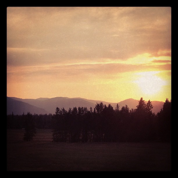
Sunset (Montana/Idaho border)
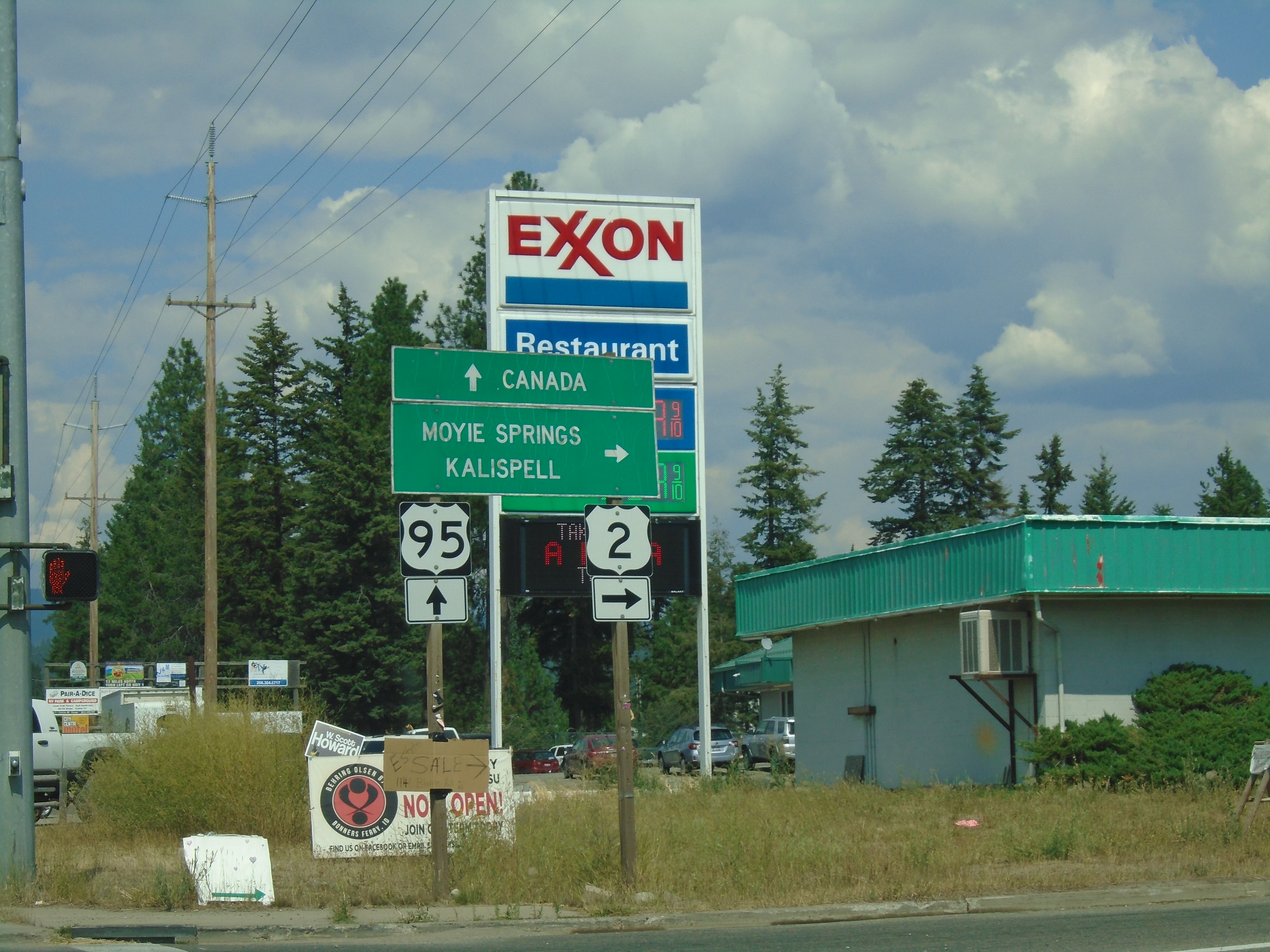
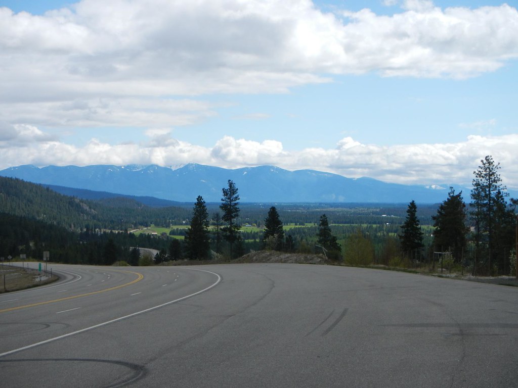
US-95 North/US-2 East at US-95/US-2 Split
Sand Hill Road East at US-2 and US-95 Junction
Kootenai River Cottonwood Snag Reflection Near Cascade Creek
IMG_8250.jpg
IMG_8248.jpg
IMG_8239.jpg

ID-1 North - Distance Marker

ID-1 North - Porthill Port of Entry Hours

US-95 North Approaching ID-1

US-95 North/US-2 East approaching US-2

US-95 North - Idaho Ports Of Entry Hours
US-95 North/US-2 East - Distance Marker

US-95 North/US-2 East - Chinook St. Jct.

ID-1 North - Distance Marker
US-95 North/US-2 East at Bus. US-95 Jct.

US-95 North - Distance Marker
US-95 North/US-2 East - Bonners Ferry

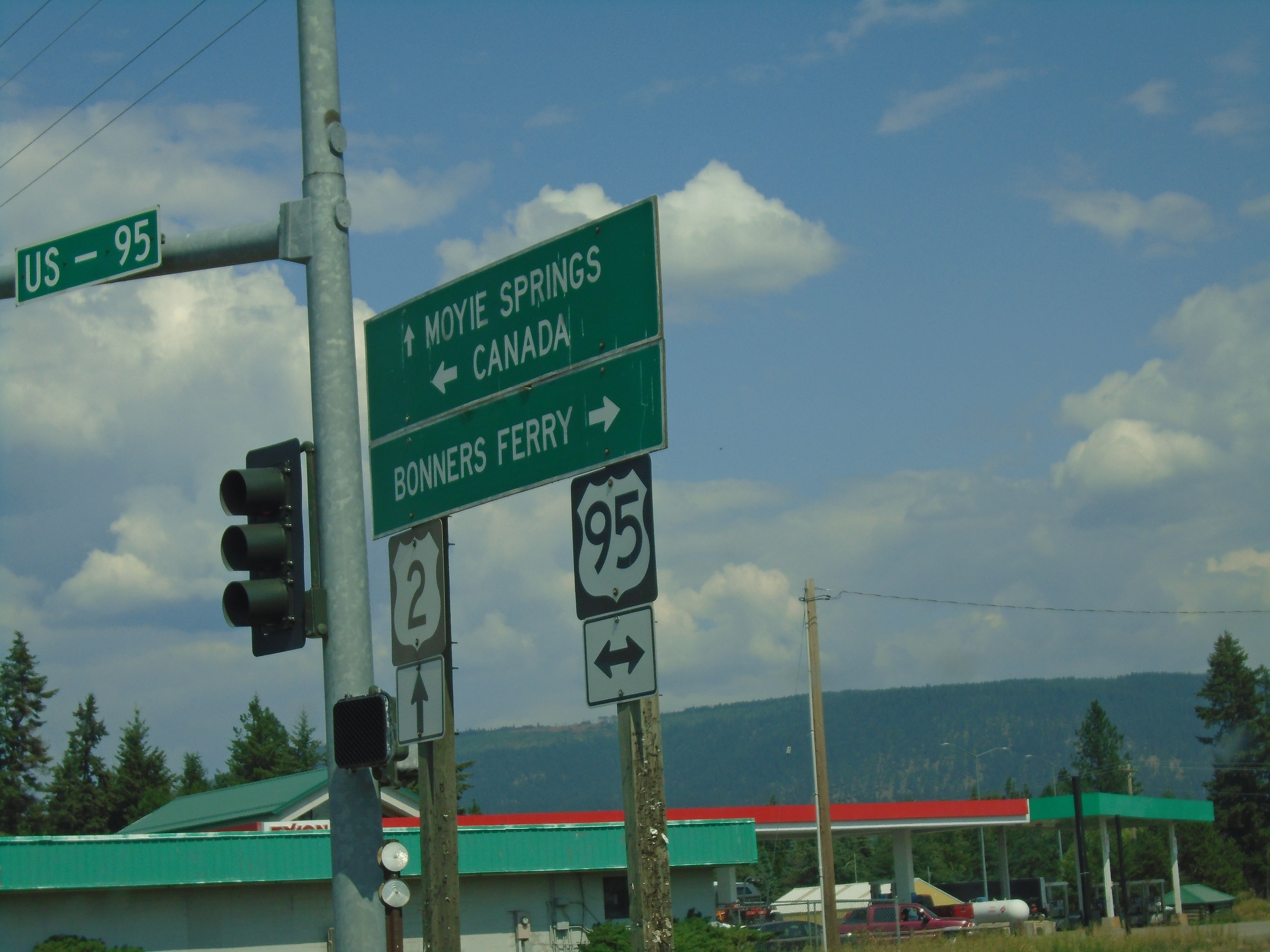
US-95 North/US-2 East at US-95/US-2 Split

Windswept Tree Kootenai National Wildlife Refuge
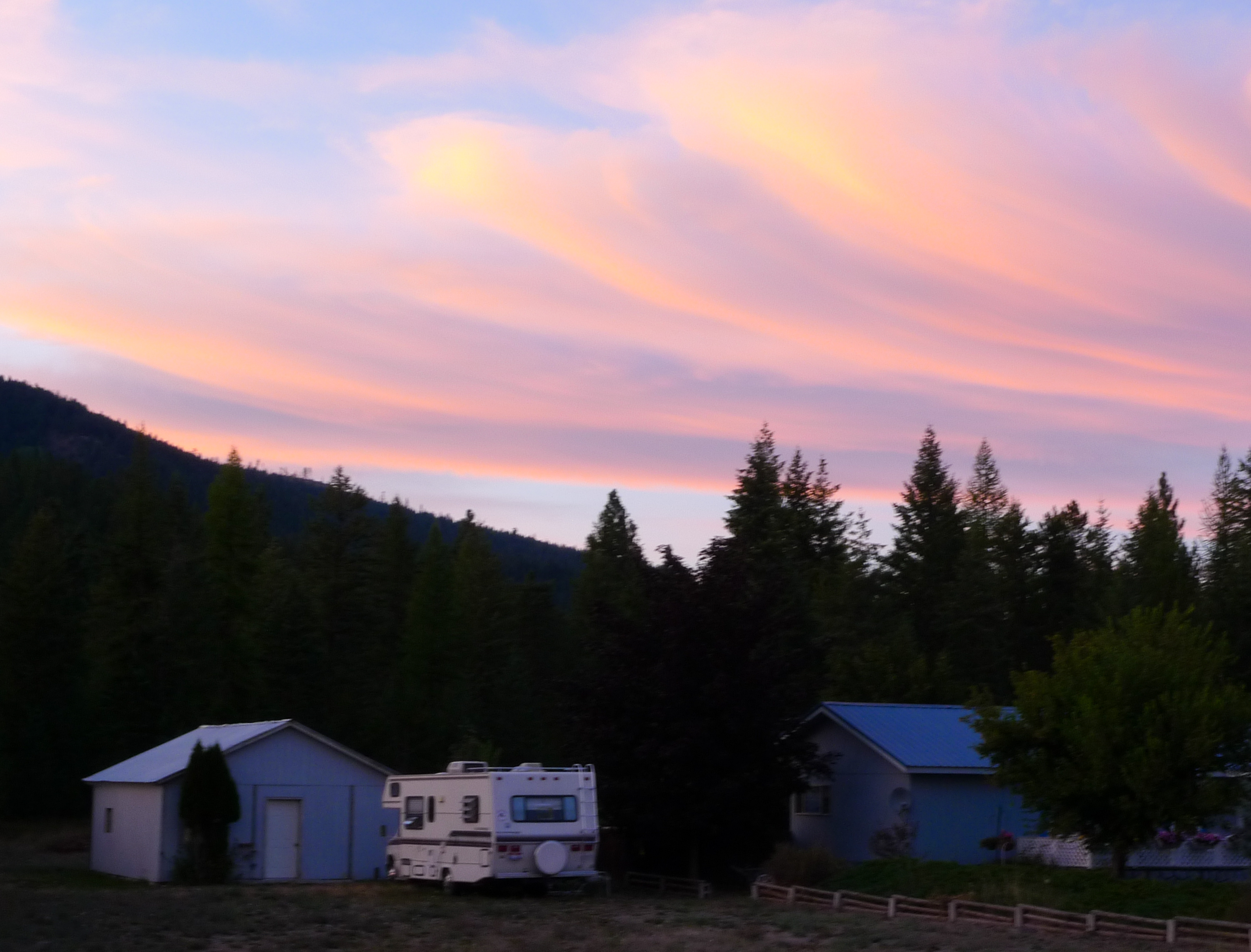
I slept here that night
Everyday for 7 Weeks–Day 5–Coeur d’Alene to Cranbrook
Fortyniner Ln, Bonners Ferry, ID, USA Karte
Suchen Sie einen anderen Ort
Nahe Plätze
Meadow Creek Rd, Bonners Ferry, ID, USA
Giles Connection Rd, Bonners Ferry, ID, USA
Templeman Lake Rd, Bonners Ferry, ID, USA
Queen Mountain, Idaho, USA
Fawn Lane Farms, Fawn Lane, Bonners Ferry, ID, USA
Bane Ln, Bonners Ferry, ID, USA
US-95, Bonners Ferry, ID, USA
34 Arrowleaf Dr, Bonners Ferry, ID, USA
Quiet Place, Quiet Pl, Idaho, USA
District 5 Rd, Bonners Ferry, ID, USA
French Point Dr, Bonners Ferry, ID, USA
Moyie Springs, ID, USA
Crow Street, Bonners Ferry, ID, USA
Robinson Lake, Idaho, USA
Kootenai Street, Kootenai St, Bonners Ferry, ID, USA
Madison Street, Madison St, Bonners Ferry, ID, USA
Bonners Ferry, ID, USA
Madison St, Bonners Ferry, ID, USA
Harvey Mountain, Idaho, USA
Border Mountain, Idaho, USA
Letzte Suche
- Presidente Quintana & Emilio Mitre, Carlos Keen, Provincia de Buenos Aires, Argentina Sonnenaufgang Sonnenuntergang Zeiten
- Deep Gap Farm Rd E, Mill Spring, NC, USA Sonnenaufgang Sonnenuntergang Zeiten
- Jiujiangzhen, Nanhai District, Foshan, Guangdong Province, China Sonnenaufgang Sonnenuntergang Zeiten
- Mountain View, CA, USA Sonnenaufgang Sonnenuntergang Zeiten
- Road to the sky observatory, Shuenhigashi, Shari, Shari District, Hokkaido -, Japan Sonnenaufgang Sonnenuntergang Zeiten
- 海岸咖啡, No. 31號, Chaishan Ave, Gushan District, Kaohsiung City, Taiwan Sonnenaufgang Sonnenuntergang Zeiten
- Estates Loop, Priest River, ID, USA Sonnenaufgang Sonnenuntergang Zeiten
- Woodland Oak Pl, Thousand Oaks, CA, USA Sonnenaufgang Sonnenuntergang Zeiten
- Sarangdanda, Nepal Sonnenaufgang Sonnenuntergang Zeiten
- Nakanoshima, Shiogama, Miyagi -, Japan Sonnenaufgang Sonnenuntergang Zeiten