Deer Run Apartments, Frederick Rd #, Claremore, OK, USA Sonnenaufgang Sonnenuntergang Zeiten
Location: USA > Oklahoma > Rogers County > Claremore >
Zeitzone:
America/Chicago
Ortszeit:
2024-05-08 19:04:59
Länge:
-95.6287628
Breite:
36.2869525
Sonnenaufgang Heute:
06:20:14 AM
Sonnenuntergang Heute:
08:17:37 PM
Tageslänge heute:
13h 57m 23s
Sonnenaufgang morgen:
06:19:20 AM
Sonnenuntergang Morgen:
08:18:27 PM
Tageslänge von morgen:
13h 59m 7s
Alle Termine anzeigen
| Datum | Sonnenaufgang | Sonnenuntergang | Tageslänge |
|---|---|---|---|
| 2024-01-01 | 07:33:52 AM | 05:18:46 PM | 9h 44m 54s |
| 2024-01-02 | 07:34:00 AM | 05:19:33 PM | 9h 45m 33s |
| 2024-01-03 | 07:34:07 AM | 05:20:22 PM | 9h 46m 15s |
| 2024-01-04 | 07:34:11 AM | 05:21:12 PM | 9h 47m 1s |
| 2024-01-05 | 07:34:13 AM | 05:22:03 PM | 9h 47m 50s |
| 2024-01-06 | 07:34:13 AM | 05:22:56 PM | 9h 48m 43s |
| 2024-01-07 | 07:34:11 AM | 05:23:49 PM | 9h 49m 38s |
| 2024-01-08 | 07:34:07 AM | 05:24:43 PM | 9h 50m 36s |
| 2024-01-09 | 07:34:02 AM | 05:25:38 PM | 9h 51m 36s |
| 2024-01-10 | 07:33:54 AM | 05:26:34 PM | 9h 52m 40s |
| 2024-01-11 | 07:33:44 AM | 05:27:31 PM | 9h 53m 47s |
| 2024-01-12 | 07:33:32 AM | 05:28:29 PM | 9h 54m 57s |
| 2024-01-13 | 07:33:19 AM | 05:29:27 PM | 9h 56m 8s |
| 2024-01-14 | 07:33:03 AM | 05:30:26 PM | 9h 57m 23s |
| 2024-01-15 | 07:32:45 AM | 05:31:26 PM | 9h 58m 41s |
| 2024-01-16 | 07:32:26 AM | 05:32:26 PM | 10h 0m 0s |
| 2024-01-17 | 07:32:04 AM | 05:33:27 PM | 10h 1m 23s |
| 2024-01-18 | 07:31:41 AM | 05:34:28 PM | 10h 2m 47s |
| 2024-01-19 | 07:31:16 AM | 05:35:30 PM | 10h 4m 14s |
| 2024-01-20 | 07:30:48 AM | 05:36:32 PM | 10h 5m 44s |
| 2024-01-21 | 07:30:19 AM | 05:37:34 PM | 10h 7m 15s |
| 2024-01-22 | 07:29:48 AM | 05:38:37 PM | 10h 8m 49s |
| 2024-01-23 | 07:29:16 AM | 05:39:40 PM | 10h 10m 24s |
| 2024-01-24 | 07:28:41 AM | 05:40:43 PM | 10h 12m 2s |
| 2024-01-25 | 07:28:05 AM | 05:41:46 PM | 10h 13m 41s |
| 2024-01-26 | 07:27:27 AM | 05:42:50 PM | 10h 15m 23s |
| 2024-01-27 | 07:26:47 AM | 05:43:53 PM | 10h 17m 6s |
| 2024-01-28 | 07:26:06 AM | 05:44:57 PM | 10h 18m 51s |
| 2024-01-29 | 07:25:22 AM | 05:46:01 PM | 10h 20m 39s |
| 2024-01-30 | 07:24:38 AM | 05:47:05 PM | 10h 22m 27s |
| 2024-01-31 | 07:23:51 AM | 05:48:09 PM | 10h 24m 18s |
| 2024-02-01 | 07:23:03 AM | 05:49:12 PM | 10h 26m 9s |
| 2024-02-02 | 07:22:14 AM | 05:50:16 PM | 10h 28m 2s |
| 2024-02-03 | 07:21:23 AM | 05:51:20 PM | 10h 29m 57s |
| 2024-02-04 | 07:20:30 AM | 05:52:23 PM | 10h 31m 53s |
| 2024-02-05 | 07:19:36 AM | 05:53:26 PM | 10h 33m 50s |
| 2024-02-06 | 07:18:40 AM | 05:54:30 PM | 10h 35m 50s |
| 2024-02-07 | 07:17:43 AM | 05:55:33 PM | 10h 37m 50s |
| 2024-02-08 | 07:16:45 AM | 05:56:35 PM | 10h 39m 50s |
| 2024-02-09 | 07:15:45 AM | 05:57:38 PM | 10h 41m 53s |
| 2024-02-10 | 07:14:44 AM | 05:58:40 PM | 10h 43m 56s |
| 2024-02-11 | 07:13:42 AM | 05:59:42 PM | 10h 46m 0s |
| 2024-02-12 | 07:12:39 AM | 06:00:44 PM | 10h 48m 5s |
| 2024-02-13 | 07:11:34 AM | 06:01:46 PM | 10h 50m 12s |
| 2024-02-14 | 07:10:28 AM | 06:02:47 PM | 10h 52m 19s |
| 2024-02-15 | 07:09:21 AM | 06:03:48 PM | 10h 54m 27s |
| 2024-02-16 | 07:08:13 AM | 06:04:49 PM | 10h 56m 36s |
| 2024-02-17 | 07:07:03 AM | 06:05:49 PM | 10h 58m 46s |
| 2024-02-18 | 07:05:53 AM | 06:06:49 PM | 11h 0m 56s |
| 2024-02-19 | 07:04:41 AM | 06:07:49 PM | 11h 3m 8s |
| 2024-02-20 | 07:03:29 AM | 06:08:48 PM | 11h 5m 19s |
| 2024-02-21 | 07:02:16 AM | 06:09:47 PM | 11h 7m 31s |
| 2024-02-22 | 07:01:01 AM | 06:10:46 PM | 11h 9m 45s |
| 2024-02-23 | 06:59:46 AM | 06:11:44 PM | 11h 11m 58s |
| 2024-02-24 | 06:58:30 AM | 06:12:42 PM | 11h 14m 12s |
| 2024-02-25 | 06:57:13 AM | 06:13:40 PM | 11h 16m 27s |
| 2024-02-26 | 06:55:56 AM | 06:14:38 PM | 11h 18m 42s |
| 2024-02-27 | 06:54:37 AM | 06:15:35 PM | 11h 20m 58s |
| 2024-02-28 | 06:53:18 AM | 06:16:31 PM | 11h 23m 13s |
| 2024-02-29 | 06:51:58 AM | 06:17:28 PM | 11h 25m 30s |
| 2024-03-01 | 06:50:38 AM | 06:18:24 PM | 11h 27m 46s |
| 2024-03-02 | 06:49:16 AM | 06:19:20 PM | 11h 30m 4s |
| 2024-03-03 | 06:47:55 AM | 06:20:15 PM | 11h 32m 20s |
| 2024-03-04 | 06:46:32 AM | 06:21:11 PM | 11h 34m 39s |
| 2024-03-05 | 06:45:09 AM | 06:22:06 PM | 11h 36m 57s |
| 2024-03-06 | 06:43:46 AM | 06:23:00 PM | 11h 39m 14s |
| 2024-03-07 | 06:42:22 AM | 06:23:55 PM | 11h 41m 33s |
| 2024-03-08 | 06:40:58 AM | 06:24:49 PM | 11h 43m 51s |
| 2024-03-09 | 06:39:33 AM | 06:25:43 PM | 11h 46m 10s |
| 2024-03-10 | 07:38:11 AM | 07:26:34 PM | 11h 48m 23s |
| 2024-03-11 | 07:36:46 AM | 07:27:28 PM | 11h 50m 42s |
| 2024-03-12 | 07:35:20 AM | 07:28:21 PM | 11h 53m 1s |
| 2024-03-13 | 07:33:53 AM | 07:29:14 PM | 11h 55m 21s |
| 2024-03-14 | 07:32:27 AM | 07:30:06 PM | 11h 57m 39s |
| 2024-03-15 | 07:31:00 AM | 07:30:59 PM | 11h 59m 59s |
| 2024-03-16 | 07:29:33 AM | 07:31:51 PM | 12h 2m 18s |
| 2024-03-17 | 07:28:06 AM | 07:32:44 PM | 12h 4m 38s |
| 2024-03-18 | 07:26:39 AM | 07:33:36 PM | 12h 6m 57s |
| 2024-03-19 | 07:25:12 AM | 07:34:28 PM | 12h 9m 16s |
| 2024-03-20 | 07:23:44 AM | 07:35:19 PM | 12h 11m 35s |
| 2024-03-21 | 07:22:17 AM | 07:36:11 PM | 12h 13m 54s |
| 2024-03-22 | 07:20:49 AM | 07:37:03 PM | 12h 16m 14s |
| 2024-03-23 | 07:19:22 AM | 07:37:54 PM | 12h 18m 32s |
| 2024-03-24 | 07:17:54 AM | 07:38:45 PM | 12h 20m 51s |
| 2024-03-25 | 07:16:27 AM | 07:39:37 PM | 12h 23m 10s |
| 2024-03-26 | 07:14:59 AM | 07:40:28 PM | 12h 25m 29s |
| 2024-03-27 | 07:13:32 AM | 07:41:19 PM | 12h 27m 47s |
| 2024-03-28 | 07:12:05 AM | 07:42:10 PM | 12h 30m 5s |
| 2024-03-29 | 07:10:38 AM | 07:43:01 PM | 12h 32m 23s |
| 2024-03-30 | 07:09:11 AM | 07:43:52 PM | 12h 34m 41s |
| 2024-03-31 | 07:07:45 AM | 07:44:43 PM | 12h 36m 58s |
| 2024-04-01 | 07:06:18 AM | 07:45:34 PM | 12h 39m 16s |
| 2024-04-02 | 07:04:53 AM | 07:46:25 PM | 12h 41m 32s |
| 2024-04-03 | 07:03:27 AM | 07:47:15 PM | 12h 43m 48s |
| 2024-04-04 | 07:02:02 AM | 07:48:06 PM | 12h 46m 4s |
| 2024-04-05 | 07:00:37 AM | 07:48:57 PM | 12h 48m 20s |
| 2024-04-06 | 06:59:12 AM | 07:49:48 PM | 12h 50m 36s |
| 2024-04-07 | 06:57:48 AM | 07:50:39 PM | 12h 52m 51s |
| 2024-04-08 | 06:56:25 AM | 07:51:30 PM | 12h 55m 5s |
| 2024-04-09 | 06:55:01 AM | 07:52:21 PM | 12h 57m 20s |
| 2024-04-10 | 06:53:39 AM | 07:53:12 PM | 12h 59m 33s |
| 2024-04-11 | 06:52:17 AM | 07:54:04 PM | 13h 1m 47s |
| 2024-04-12 | 06:50:56 AM | 07:54:55 PM | 13h 3m 59s |
| 2024-04-13 | 06:49:35 AM | 07:55:46 PM | 13h 6m 11s |
| 2024-04-14 | 06:48:15 AM | 07:56:37 PM | 13h 8m 22s |
| 2024-04-15 | 06:46:55 AM | 07:57:29 PM | 13h 10m 34s |
| 2024-04-16 | 06:45:36 AM | 07:58:20 PM | 13h 12m 44s |
| 2024-04-17 | 06:44:18 AM | 07:59:11 PM | 13h 14m 53s |
| 2024-04-18 | 06:43:01 AM | 08:00:03 PM | 13h 17m 2s |
| 2024-04-19 | 06:41:44 AM | 08:00:55 PM | 13h 19m 11s |
| 2024-04-20 | 06:40:29 AM | 08:01:46 PM | 13h 21m 17s |
| 2024-04-21 | 06:39:14 AM | 08:02:38 PM | 13h 23m 24s |
| 2024-04-22 | 06:38:00 AM | 08:03:29 PM | 13h 25m 29s |
| 2024-04-23 | 06:36:47 AM | 08:04:21 PM | 13h 27m 34s |
| 2024-04-24 | 06:35:35 AM | 08:05:13 PM | 13h 29m 38s |
| 2024-04-25 | 06:34:24 AM | 08:06:05 PM | 13h 31m 41s |
| 2024-04-26 | 06:33:14 AM | 08:06:56 PM | 13h 33m 42s |
| 2024-04-27 | 06:32:04 AM | 08:07:48 PM | 13h 35m 44s |
| 2024-04-28 | 06:30:56 AM | 08:08:40 PM | 13h 37m 44s |
| 2024-04-29 | 06:29:49 AM | 08:09:32 PM | 13h 39m 43s |
| 2024-04-30 | 06:28:43 AM | 08:10:23 PM | 13h 41m 40s |
| 2024-05-01 | 06:27:39 AM | 08:11:15 PM | 13h 43m 36s |
| 2024-05-02 | 06:26:35 AM | 08:12:06 PM | 13h 45m 31s |
| 2024-05-03 | 06:25:33 AM | 08:12:58 PM | 13h 47m 25s |
| 2024-05-04 | 06:24:32 AM | 08:13:49 PM | 13h 49m 17s |
| 2024-05-05 | 06:23:32 AM | 08:14:41 PM | 13h 51m 9s |
| 2024-05-06 | 06:22:33 AM | 08:15:32 PM | 13h 52m 59s |
| 2024-05-07 | 06:21:36 AM | 08:16:23 PM | 13h 54m 47s |
| 2024-05-08 | 06:20:40 AM | 08:17:13 PM | 13h 56m 33s |
| 2024-05-09 | 06:19:45 AM | 08:18:04 PM | 13h 58m 19s |
| 2024-05-10 | 06:18:52 AM | 08:18:54 PM | 14h 0m 2s |
| 2024-05-11 | 06:18:00 AM | 08:19:44 PM | 14h 1m 44s |
| 2024-05-12 | 06:17:09 AM | 08:20:34 PM | 14h 3m 25s |
| 2024-05-13 | 06:16:20 AM | 08:21:24 PM | 14h 5m 4s |
| 2024-05-14 | 06:15:33 AM | 08:22:13 PM | 14h 6m 40s |
| 2024-05-15 | 06:14:46 AM | 08:23:02 PM | 14h 8m 16s |
| 2024-05-16 | 06:14:02 AM | 08:23:50 PM | 14h 9m 48s |
| 2024-05-17 | 06:13:19 AM | 08:24:38 PM | 14h 11m 19s |
| 2024-05-18 | 06:12:37 AM | 08:25:26 PM | 14h 12m 49s |
| 2024-05-19 | 06:11:57 AM | 08:26:13 PM | 14h 14m 16s |
| 2024-05-20 | 06:11:19 AM | 08:26:59 PM | 14h 15m 40s |
| 2024-05-21 | 06:10:42 AM | 08:27:45 PM | 14h 17m 3s |
| 2024-05-22 | 06:10:07 AM | 08:28:31 PM | 14h 18m 24s |
| 2024-05-23 | 06:09:34 AM | 08:29:15 PM | 14h 19m 41s |
| 2024-05-24 | 06:09:02 AM | 08:30:00 PM | 14h 20m 58s |
| 2024-05-25 | 06:08:32 AM | 08:30:43 PM | 14h 22m 11s |
| 2024-05-26 | 06:08:03 AM | 08:31:26 PM | 14h 23m 23s |
| 2024-05-27 | 06:07:36 AM | 08:32:08 PM | 14h 24m 32s |
| 2024-05-28 | 06:07:11 AM | 08:32:49 PM | 14h 25m 38s |
| 2024-05-29 | 06:06:48 AM | 08:33:29 PM | 14h 26m 41s |
| 2024-05-30 | 06:06:26 AM | 08:34:09 PM | 14h 27m 43s |
| 2024-05-31 | 06:06:06 AM | 08:34:47 PM | 14h 28m 41s |
| 2024-06-01 | 06:05:48 AM | 08:35:25 PM | 14h 29m 37s |
| 2024-06-02 | 06:05:31 AM | 08:36:01 PM | 14h 30m 30s |
| 2024-06-03 | 06:05:16 AM | 08:36:37 PM | 14h 31m 21s |
| 2024-06-04 | 06:05:03 AM | 08:37:11 PM | 14h 32m 8s |
| 2024-06-05 | 06:04:52 AM | 08:37:45 PM | 14h 32m 53s |
| 2024-06-06 | 06:04:42 AM | 08:38:17 PM | 14h 33m 35s |
| 2024-06-07 | 06:04:34 AM | 08:38:48 PM | 14h 34m 14s |
| 2024-06-08 | 06:04:28 AM | 08:39:18 PM | 14h 34m 50s |
| 2024-06-09 | 06:04:23 AM | 08:39:46 PM | 14h 35m 23s |
| 2024-06-10 | 06:04:20 AM | 08:40:14 PM | 14h 35m 54s |
| 2024-06-11 | 06:04:19 AM | 08:40:40 PM | 14h 36m 21s |
| 2024-06-12 | 06:04:19 AM | 08:41:05 PM | 14h 36m 46s |
| 2024-06-13 | 06:04:22 AM | 08:41:28 PM | 14h 37m 6s |
| 2024-06-14 | 06:04:25 AM | 08:41:50 PM | 14h 37m 25s |
| 2024-06-15 | 06:04:31 AM | 08:42:10 PM | 14h 37m 39s |
| 2024-06-16 | 06:04:38 AM | 08:42:29 PM | 14h 37m 51s |
| 2024-06-17 | 06:04:46 AM | 08:42:47 PM | 14h 38m 1s |
| 2024-06-18 | 06:04:57 AM | 08:43:03 PM | 14h 38m 6s |
| 2024-06-19 | 06:05:08 AM | 08:43:17 PM | 14h 38m 9s |
| 2024-06-20 | 06:05:21 AM | 08:43:30 PM | 14h 38m 9s |
| 2024-06-21 | 06:05:36 AM | 08:43:41 PM | 14h 38m 5s |
| 2024-06-22 | 06:05:52 AM | 08:43:51 PM | 14h 37m 59s |
| 2024-06-23 | 06:06:10 AM | 08:43:59 PM | 14h 37m 49s |
| 2024-06-24 | 06:06:29 AM | 08:44:06 PM | 14h 37m 37s |
| 2024-06-25 | 06:06:50 AM | 08:44:10 PM | 14h 37m 20s |
| 2024-06-26 | 06:07:11 AM | 08:44:13 PM | 14h 37m 2s |
| 2024-06-27 | 06:07:35 AM | 08:44:15 PM | 14h 36m 40s |
| 2024-06-28 | 06:07:59 AM | 08:44:14 PM | 14h 36m 15s |
| 2024-06-29 | 06:08:25 AM | 08:44:12 PM | 14h 35m 47s |
| 2024-06-30 | 06:08:52 AM | 08:44:08 PM | 14h 35m 16s |
| 2024-07-01 | 06:09:20 AM | 08:44:03 PM | 14h 34m 43s |
| 2024-07-02 | 06:09:49 AM | 08:43:55 PM | 14h 34m 6s |
| 2024-07-03 | 06:10:20 AM | 08:43:46 PM | 14h 33m 26s |
| 2024-07-04 | 06:10:51 AM | 08:43:35 PM | 14h 32m 44s |
| 2024-07-05 | 06:11:24 AM | 08:43:23 PM | 14h 31m 59s |
| 2024-07-06 | 06:11:57 AM | 08:43:08 PM | 14h 31m 11s |
| 2024-07-07 | 06:12:32 AM | 08:42:52 PM | 14h 30m 20s |
| 2024-07-08 | 06:13:07 AM | 08:42:34 PM | 14h 29m 27s |
| 2024-07-09 | 06:13:44 AM | 08:42:14 PM | 14h 28m 30s |
| 2024-07-10 | 06:14:21 AM | 08:41:53 PM | 14h 27m 32s |
| 2024-07-11 | 06:14:59 AM | 08:41:30 PM | 14h 26m 31s |
| 2024-07-12 | 06:15:38 AM | 08:41:05 PM | 14h 25m 27s |
| 2024-07-13 | 06:16:18 AM | 08:40:38 PM | 14h 24m 20s |
| 2024-07-14 | 06:16:58 AM | 08:40:10 PM | 14h 23m 12s |
| 2024-07-15 | 06:17:39 AM | 08:39:40 PM | 14h 22m 1s |
| 2024-07-16 | 06:18:21 AM | 08:39:08 PM | 14h 20m 47s |
| 2024-07-17 | 06:19:03 AM | 08:38:35 PM | 14h 19m 32s |
| 2024-07-18 | 06:19:46 AM | 08:37:59 PM | 14h 18m 13s |
| 2024-07-19 | 06:20:30 AM | 08:37:23 PM | 14h 16m 53s |
| 2024-07-20 | 06:21:13 AM | 08:36:44 PM | 14h 15m 31s |
| 2024-07-21 | 06:21:58 AM | 08:36:04 PM | 14h 14m 6s |
| 2024-07-22 | 06:22:43 AM | 08:35:22 PM | 14h 12m 39s |
| 2024-07-23 | 06:23:28 AM | 08:34:39 PM | 14h 11m 11s |
| 2024-07-24 | 06:24:14 AM | 08:33:54 PM | 14h 9m 40s |
| 2024-07-25 | 06:25:00 AM | 08:33:08 PM | 14h 8m 8s |
| 2024-07-26 | 06:25:46 AM | 08:32:20 PM | 14h 6m 34s |
| 2024-07-27 | 06:26:33 AM | 08:31:31 PM | 14h 4m 58s |
| 2024-07-28 | 06:27:20 AM | 08:30:40 PM | 14h 3m 20s |
| 2024-07-29 | 06:28:07 AM | 08:29:48 PM | 14h 1m 41s |
| 2024-07-30 | 06:28:54 AM | 08:28:54 PM | 14h 0m 0s |
| 2024-07-31 | 06:29:42 AM | 08:27:59 PM | 13h 58m 17s |
| 2024-08-01 | 06:30:29 AM | 08:27:02 PM | 13h 56m 33s |
| 2024-08-02 | 06:31:17 AM | 08:26:04 PM | 13h 54m 47s |
| 2024-08-03 | 06:32:05 AM | 08:25:05 PM | 13h 53m 0s |
| 2024-08-04 | 06:32:53 AM | 08:24:05 PM | 13h 51m 12s |
| 2024-08-05 | 06:33:41 AM | 08:23:03 PM | 13h 49m 22s |
| 2024-08-06 | 06:34:29 AM | 08:22:00 PM | 13h 47m 31s |
| 2024-08-07 | 06:35:18 AM | 08:20:55 PM | 13h 45m 37s |
| 2024-08-08 | 06:36:06 AM | 08:19:50 PM | 13h 43m 44s |
| 2024-08-09 | 06:36:54 AM | 08:18:43 PM | 13h 41m 49s |
| 2024-08-10 | 06:37:43 AM | 08:17:36 PM | 13h 39m 53s |
| 2024-08-11 | 06:38:31 AM | 08:16:27 PM | 13h 37m 56s |
| 2024-08-12 | 06:39:19 AM | 08:15:17 PM | 13h 35m 58s |
| 2024-08-13 | 06:40:07 AM | 08:14:06 PM | 13h 33m 59s |
| 2024-08-14 | 06:40:56 AM | 08:12:54 PM | 13h 31m 58s |
| 2024-08-15 | 06:41:44 AM | 08:11:41 PM | 13h 29m 57s |
| 2024-08-16 | 06:42:32 AM | 08:10:27 PM | 13h 27m 55s |
| 2024-08-17 | 06:43:20 AM | 08:09:12 PM | 13h 25m 52s |
| 2024-08-18 | 06:44:08 AM | 08:07:56 PM | 13h 23m 48s |
| 2024-08-19 | 06:44:56 AM | 08:06:39 PM | 13h 21m 43s |
| 2024-08-20 | 06:45:44 AM | 08:05:21 PM | 13h 19m 37s |
| 2024-08-21 | 06:46:31 AM | 08:04:03 PM | 13h 17m 32s |
| 2024-08-22 | 06:47:19 AM | 08:02:44 PM | 13h 15m 25s |
| 2024-08-23 | 06:48:07 AM | 08:01:24 PM | 13h 13m 17s |
| 2024-08-24 | 06:48:54 AM | 08:00:03 PM | 13h 11m 9s |
| 2024-08-25 | 06:49:42 AM | 07:58:41 PM | 13h 8m 59s |
| 2024-08-26 | 06:50:29 AM | 07:57:19 PM | 13h 6m 50s |
| 2024-08-27 | 06:51:16 AM | 07:55:56 PM | 13h 4m 40s |
| 2024-08-28 | 06:52:03 AM | 07:54:33 PM | 13h 2m 30s |
| 2024-08-29 | 06:52:50 AM | 07:53:09 PM | 13h 0m 19s |
| 2024-08-30 | 06:53:37 AM | 07:51:44 PM | 12h 58m 7s |
| 2024-08-31 | 06:54:24 AM | 07:50:19 PM | 12h 55m 55s |
| 2024-09-01 | 06:55:11 AM | 07:48:54 PM | 12h 53m 43s |
| 2024-09-02 | 06:55:58 AM | 07:47:28 PM | 12h 51m 30s |
| 2024-09-03 | 06:56:45 AM | 07:46:01 PM | 12h 49m 16s |
| 2024-09-04 | 06:57:31 AM | 07:44:34 PM | 12h 47m 3s |
| 2024-09-05 | 06:58:18 AM | 07:43:07 PM | 12h 44m 49s |
| 2024-09-06 | 06:59:05 AM | 07:41:39 PM | 12h 42m 34s |
| 2024-09-07 | 06:59:51 AM | 07:40:11 PM | 12h 40m 20s |
| 2024-09-08 | 07:00:38 AM | 07:38:43 PM | 12h 38m 5s |
| 2024-09-09 | 07:01:25 AM | 07:37:14 PM | 12h 35m 49s |
| 2024-09-10 | 07:02:11 AM | 07:35:45 PM | 12h 33m 34s |
| 2024-09-11 | 07:02:58 AM | 07:34:16 PM | 12h 31m 18s |
| 2024-09-12 | 07:03:44 AM | 07:32:47 PM | 12h 29m 3s |
| 2024-09-13 | 07:04:31 AM | 07:31:17 PM | 12h 26m 46s |
| 2024-09-14 | 07:05:18 AM | 07:29:48 PM | 12h 24m 30s |
| 2024-09-15 | 07:06:05 AM | 07:28:18 PM | 12h 22m 13s |
| 2024-09-16 | 07:06:52 AM | 07:26:48 PM | 12h 19m 56s |
| 2024-09-17 | 07:07:38 AM | 07:25:18 PM | 12h 17m 40s |
| 2024-09-18 | 07:08:26 AM | 07:23:49 PM | 12h 15m 23s |
| 2024-09-19 | 07:09:13 AM | 07:22:19 PM | 12h 13m 6s |
| 2024-09-20 | 07:10:00 AM | 07:20:49 PM | 12h 10m 49s |
| 2024-09-21 | 07:10:47 AM | 07:19:19 PM | 12h 8m 32s |
| 2024-09-22 | 07:11:35 AM | 07:17:50 PM | 12h 6m 15s |
| 2024-09-23 | 07:12:23 AM | 07:16:20 PM | 12h 3m 57s |
| 2024-09-24 | 07:13:10 AM | 07:14:51 PM | 12h 1m 41s |
| 2024-09-25 | 07:13:58 AM | 07:13:22 PM | 11h 59m 24s |
| 2024-09-26 | 07:14:47 AM | 07:11:53 PM | 11h 57m 6s |
| 2024-09-27 | 07:15:35 AM | 07:10:24 PM | 11h 54m 49s |
| 2024-09-28 | 07:16:24 AM | 07:08:56 PM | 11h 52m 32s |
| 2024-09-29 | 07:17:12 AM | 07:07:28 PM | 11h 50m 16s |
| 2024-09-30 | 07:18:02 AM | 07:06:00 PM | 11h 47m 58s |
| 2024-10-01 | 07:18:51 AM | 07:04:32 PM | 11h 45m 41s |
| 2024-10-02 | 07:19:40 AM | 07:03:05 PM | 11h 43m 25s |
| 2024-10-03 | 07:20:30 AM | 07:01:39 PM | 11h 41m 9s |
| 2024-10-04 | 07:21:20 AM | 07:00:13 PM | 11h 38m 53s |
| 2024-10-05 | 07:22:11 AM | 06:58:47 PM | 11h 36m 36s |
| 2024-10-06 | 07:23:01 AM | 06:57:22 PM | 11h 34m 21s |
| 2024-10-07 | 07:23:52 AM | 06:55:57 PM | 11h 32m 5s |
| 2024-10-08 | 07:24:44 AM | 06:54:33 PM | 11h 29m 49s |
| 2024-10-09 | 07:25:35 AM | 06:53:10 PM | 11h 27m 35s |
| 2024-10-10 | 07:26:27 AM | 06:51:47 PM | 11h 25m 20s |
| 2024-10-11 | 07:27:19 AM | 06:50:25 PM | 11h 23m 6s |
| 2024-10-12 | 07:28:12 AM | 06:49:04 PM | 11h 20m 52s |
| 2024-10-13 | 07:29:05 AM | 06:47:43 PM | 11h 18m 38s |
| 2024-10-14 | 07:29:58 AM | 06:46:23 PM | 11h 16m 25s |
| 2024-10-15 | 07:30:52 AM | 06:45:04 PM | 11h 14m 12s |
| 2024-10-16 | 07:31:46 AM | 06:43:46 PM | 11h 12m 0s |
| 2024-10-17 | 07:32:40 AM | 06:42:28 PM | 11h 9m 48s |
| 2024-10-18 | 07:33:35 AM | 06:41:12 PM | 11h 7m 37s |
| 2024-10-19 | 07:34:30 AM | 06:39:56 PM | 11h 5m 26s |
| 2024-10-20 | 07:35:25 AM | 06:38:41 PM | 11h 3m 16s |
| 2024-10-21 | 07:36:21 AM | 06:37:28 PM | 11h 1m 7s |
| 2024-10-22 | 07:37:17 AM | 06:36:15 PM | 10h 58m 58s |
| 2024-10-23 | 07:38:14 AM | 06:35:03 PM | 10h 56m 49s |
| 2024-10-24 | 07:39:10 AM | 06:33:53 PM | 10h 54m 43s |
| 2024-10-25 | 07:40:07 AM | 06:32:44 PM | 10h 52m 37s |
| 2024-10-26 | 07:41:05 AM | 06:31:35 PM | 10h 50m 30s |
| 2024-10-27 | 07:42:03 AM | 06:30:28 PM | 10h 48m 25s |
| 2024-10-28 | 07:43:01 AM | 06:29:22 PM | 10h 46m 21s |
| 2024-10-29 | 07:43:59 AM | 06:28:18 PM | 10h 44m 19s |
| 2024-10-30 | 07:44:58 AM | 06:27:14 PM | 10h 42m 16s |
| 2024-10-31 | 07:45:57 AM | 06:26:12 PM | 10h 40m 15s |
| 2024-11-01 | 07:46:56 AM | 06:25:12 PM | 10h 38m 16s |
| 2024-11-02 | 07:47:56 AM | 06:24:12 PM | 10h 36m 16s |
| 2024-11-03 | 06:48:58 AM | 05:23:12 PM | 10h 34m 14s |
| 2024-11-04 | 06:49:58 AM | 05:22:16 PM | 10h 32m 18s |
| 2024-11-05 | 06:50:58 AM | 05:21:21 PM | 10h 30m 23s |
| 2024-11-06 | 06:51:58 AM | 05:20:27 PM | 10h 28m 29s |
| 2024-11-07 | 06:52:59 AM | 05:19:35 PM | 10h 26m 36s |
| 2024-11-08 | 06:54:00 AM | 05:18:45 PM | 10h 24m 45s |
| 2024-11-09 | 06:55:00 AM | 05:17:56 PM | 10h 22m 56s |
| 2024-11-10 | 06:56:01 AM | 05:17:09 PM | 10h 21m 8s |
| 2024-11-11 | 06:57:02 AM | 05:16:24 PM | 10h 19m 22s |
| 2024-11-12 | 06:58:03 AM | 05:15:40 PM | 10h 17m 37s |
| 2024-11-13 | 06:59:04 AM | 05:14:58 PM | 10h 15m 54s |
| 2024-11-14 | 07:00:05 AM | 05:14:17 PM | 10h 14m 12s |
| 2024-11-15 | 07:01:05 AM | 05:13:39 PM | 10h 12m 34s |
| 2024-11-16 | 07:02:06 AM | 05:13:02 PM | 10h 10m 56s |
| 2024-11-17 | 07:03:06 AM | 05:12:27 PM | 10h 9m 21s |
| 2024-11-18 | 07:04:07 AM | 05:11:54 PM | 10h 7m 47s |
| 2024-11-19 | 07:05:07 AM | 05:11:22 PM | 10h 6m 15s |
| 2024-11-20 | 07:06:07 AM | 05:10:53 PM | 10h 4m 46s |
| 2024-11-21 | 07:07:06 AM | 05:10:25 PM | 10h 3m 19s |
| 2024-11-22 | 07:08:05 AM | 05:10:00 PM | 10h 1m 55s |
| 2024-11-23 | 07:09:04 AM | 05:09:36 PM | 10h 0m 32s |
| 2024-11-24 | 07:10:03 AM | 05:09:14 PM | 9h 59m 11s |
| 2024-11-25 | 07:11:01 AM | 05:08:54 PM | 9h 57m 53s |
| 2024-11-26 | 07:11:58 AM | 05:08:36 PM | 9h 56m 38s |
| 2024-11-27 | 07:12:55 AM | 05:08:20 PM | 9h 55m 25s |
| 2024-11-28 | 07:13:51 AM | 05:08:07 PM | 9h 54m 16s |
| 2024-11-29 | 07:14:46 AM | 05:07:55 PM | 9h 53m 9s |
| 2024-11-30 | 07:15:41 AM | 05:07:45 PM | 9h 52m 4s |
| 2024-12-01 | 07:16:35 AM | 05:07:37 PM | 9h 51m 2s |
| 2024-12-02 | 07:17:28 AM | 05:07:31 PM | 9h 50m 3s |
| 2024-12-03 | 07:18:21 AM | 05:07:28 PM | 9h 49m 7s |
| 2024-12-04 | 07:19:12 AM | 05:07:26 PM | 9h 48m 14s |
| 2024-12-05 | 07:20:03 AM | 05:07:26 PM | 9h 47m 23s |
| 2024-12-06 | 07:20:52 AM | 05:07:28 PM | 9h 46m 36s |
| 2024-12-07 | 07:21:41 AM | 05:07:33 PM | 9h 45m 52s |
| 2024-12-08 | 07:22:28 AM | 05:07:39 PM | 9h 45m 11s |
| 2024-12-09 | 07:23:14 AM | 05:07:47 PM | 9h 44m 33s |
| 2024-12-10 | 07:23:59 AM | 05:07:58 PM | 9h 43m 59s |
| 2024-12-11 | 07:24:43 AM | 05:08:10 PM | 9h 43m 27s |
| 2024-12-12 | 07:25:25 AM | 05:08:24 PM | 9h 42m 59s |
| 2024-12-13 | 07:26:06 AM | 05:08:41 PM | 9h 42m 35s |
| 2024-12-14 | 07:26:46 AM | 05:08:59 PM | 9h 42m 13s |
| 2024-12-15 | 07:27:24 AM | 05:09:19 PM | 9h 41m 55s |
| 2024-12-16 | 07:28:01 AM | 05:09:41 PM | 9h 41m 40s |
| 2024-12-17 | 07:28:36 AM | 05:10:05 PM | 9h 41m 29s |
| 2024-12-18 | 07:29:10 AM | 05:10:30 PM | 9h 41m 20s |
| 2024-12-19 | 07:29:42 AM | 05:10:58 PM | 9h 41m 16s |
| 2024-12-20 | 07:30:12 AM | 05:11:27 PM | 9h 41m 15s |
| 2024-12-21 | 07:30:41 AM | 05:11:58 PM | 9h 41m 17s |
| 2024-12-22 | 07:31:08 AM | 05:12:30 PM | 9h 41m 22s |
| 2024-12-23 | 07:31:33 AM | 05:13:05 PM | 9h 41m 32s |
| 2024-12-24 | 07:31:57 AM | 05:13:41 PM | 9h 41m 44s |
| 2024-12-25 | 07:32:19 AM | 05:14:18 PM | 9h 41m 59s |
| 2024-12-26 | 07:32:38 AM | 05:14:57 PM | 9h 42m 19s |
| 2024-12-27 | 07:32:57 AM | 05:15:38 PM | 9h 42m 41s |
| 2024-12-28 | 07:33:13 AM | 05:16:20 PM | 9h 43m 7s |
| 2024-12-29 | 07:33:27 AM | 05:17:03 PM | 9h 43m 36s |
| 2024-12-30 | 07:33:39 AM | 05:17:48 PM | 9h 44m 9s |
Fotos

Rams_4th-grade_Cheer_Group
CD7 043
Oklahoma-11
Route 66: Twin Bridges

On the tracks
2013-11-28 06.44.35
iPhone flower sunrise
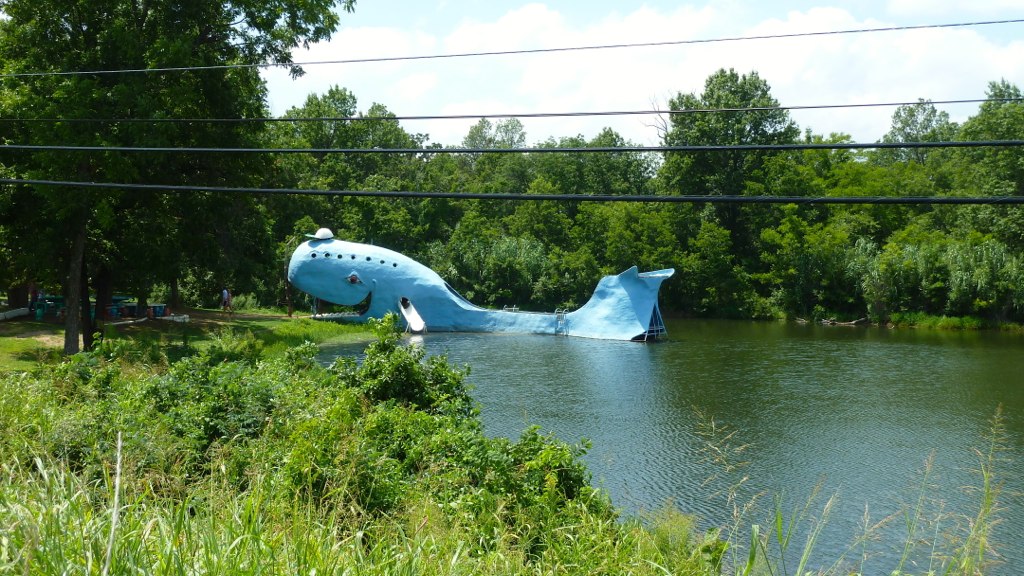
Reflections of an artificial whale
Rt 66 Roadside attraction
abandoned interstate 44

026 Startup
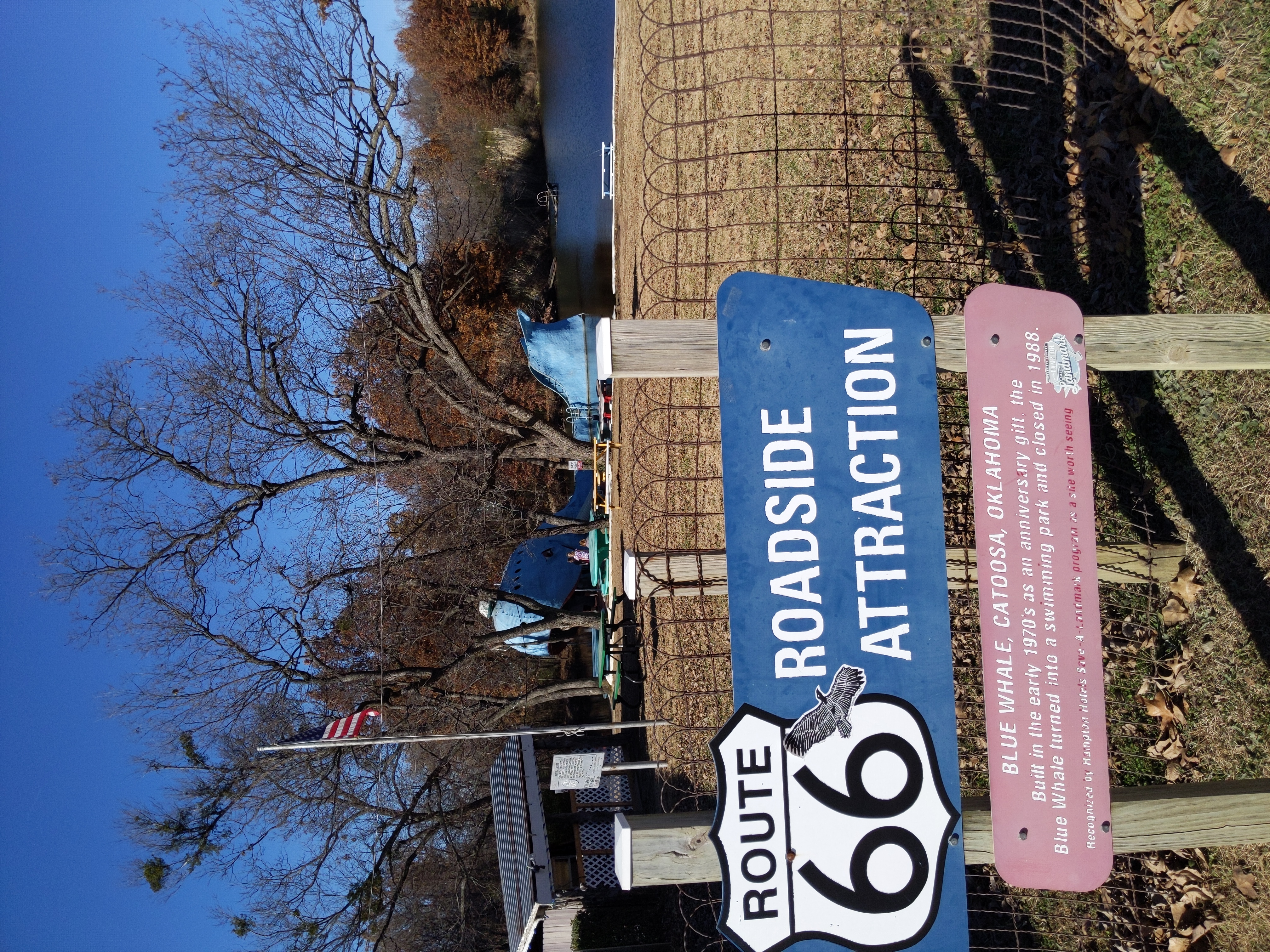
Route 66 Roadside Attraction: The Blue Whale of Catoosa
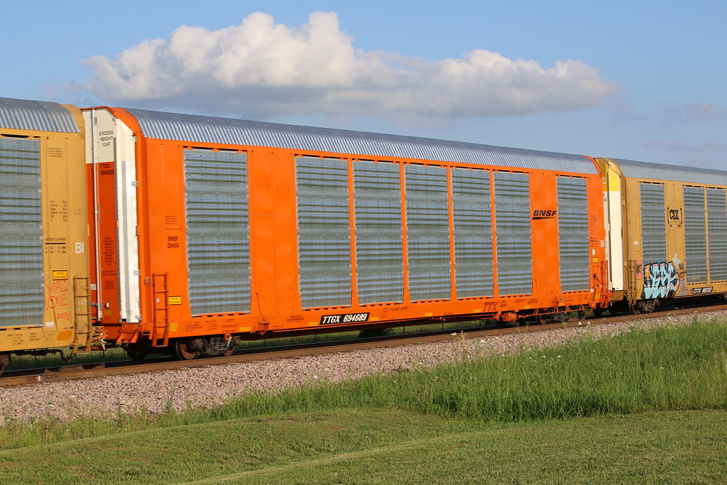
BNSF Autorack on UP manifest at Inola Oklahoma
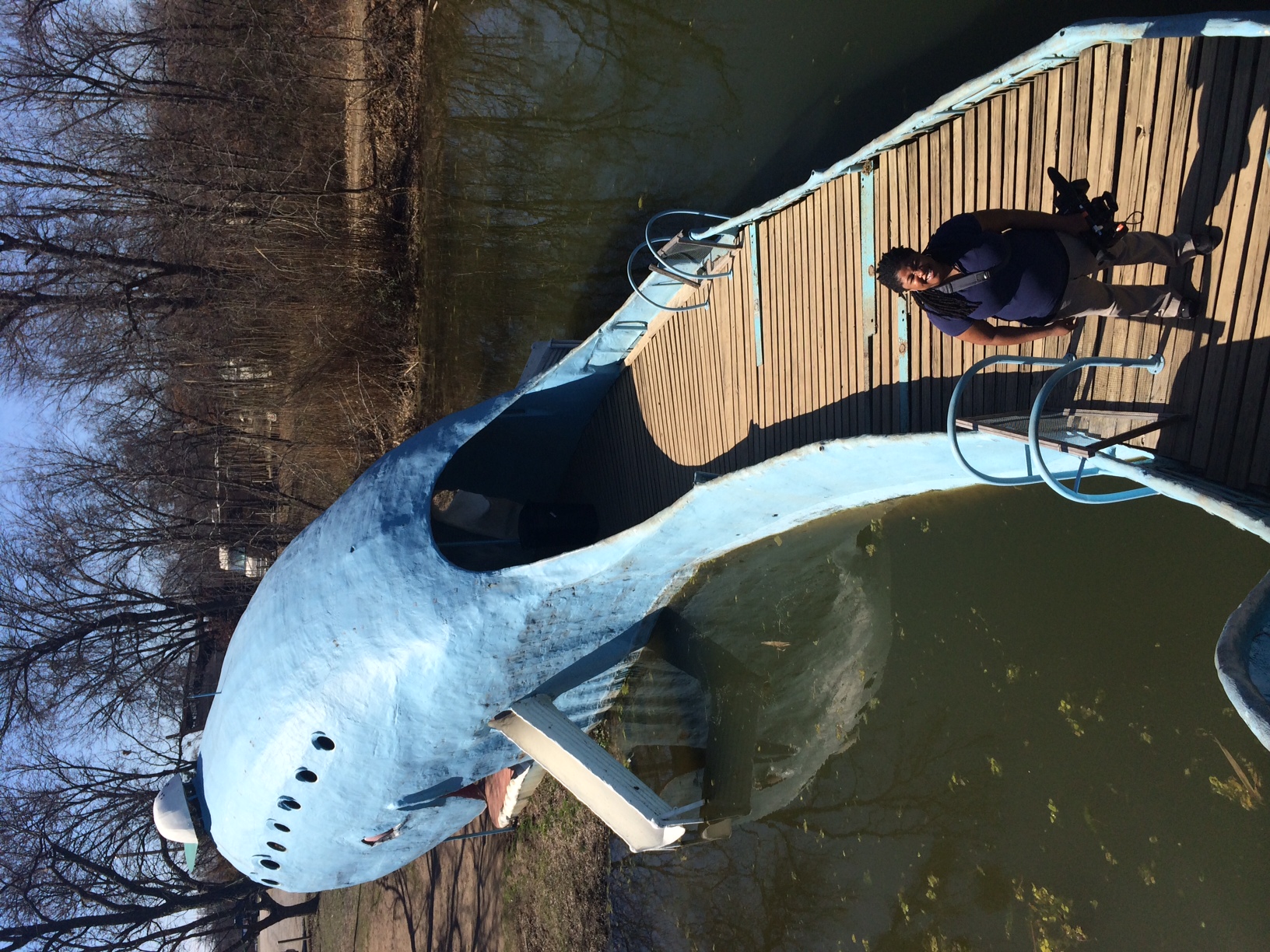
Tulsa, OK -- Blue Whale of Catoosa
R66 Festival 2013 - Joplin - 341

#HottieOfTheWeek #FiftyShades #FiftyShadesOfGrey #FiftyShadesDarker #FiftyShadesFreed #ChristianGrey #Sexy #Hot #British #Beautiful #Eyes #CharlieTango #Actor #Fit #Active #WhiteKnight #DarkKnight #Gorgeous #Smile #HenryCavill #ClarkKent #Superman #ManOfS
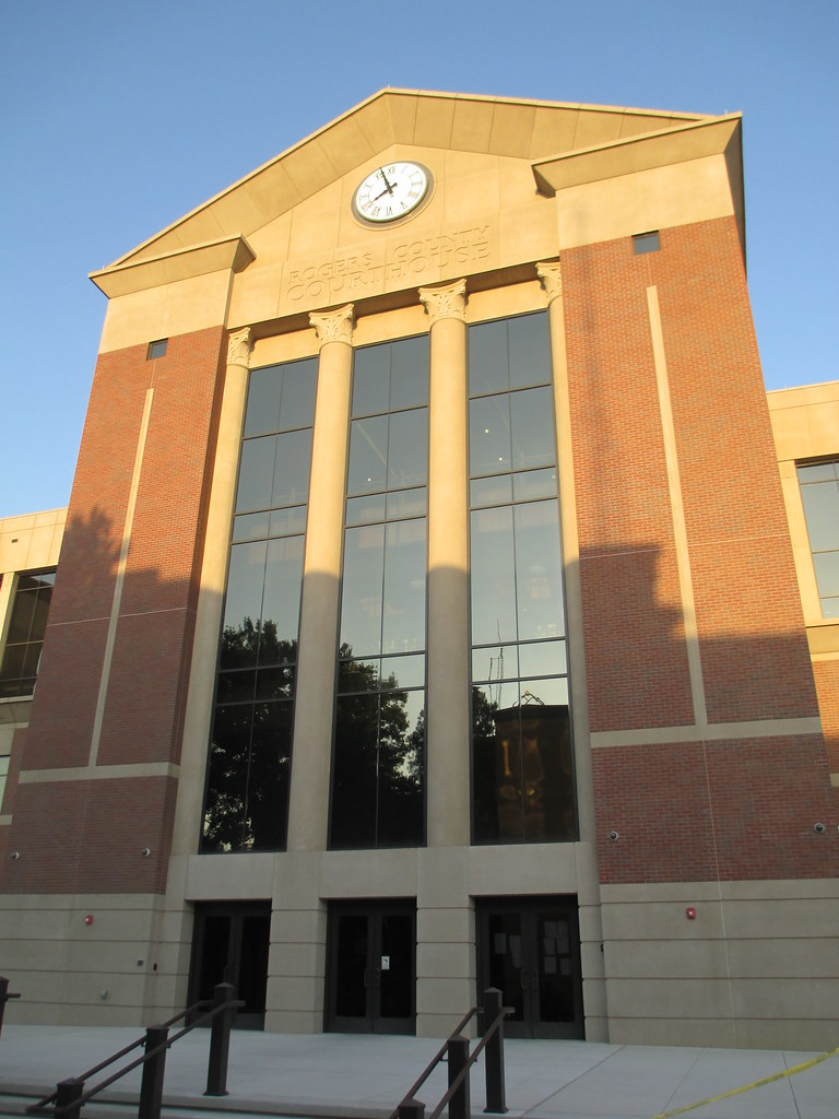
Rogers County Courthouse Detail (Claremore, Oklahoma)
Gatesway Balloon Fest_0542

IMG_0138 - Fred?
Approaching storms

I Am So Sad This One Turned Out Blurry

Catoosa66 Blue Whale
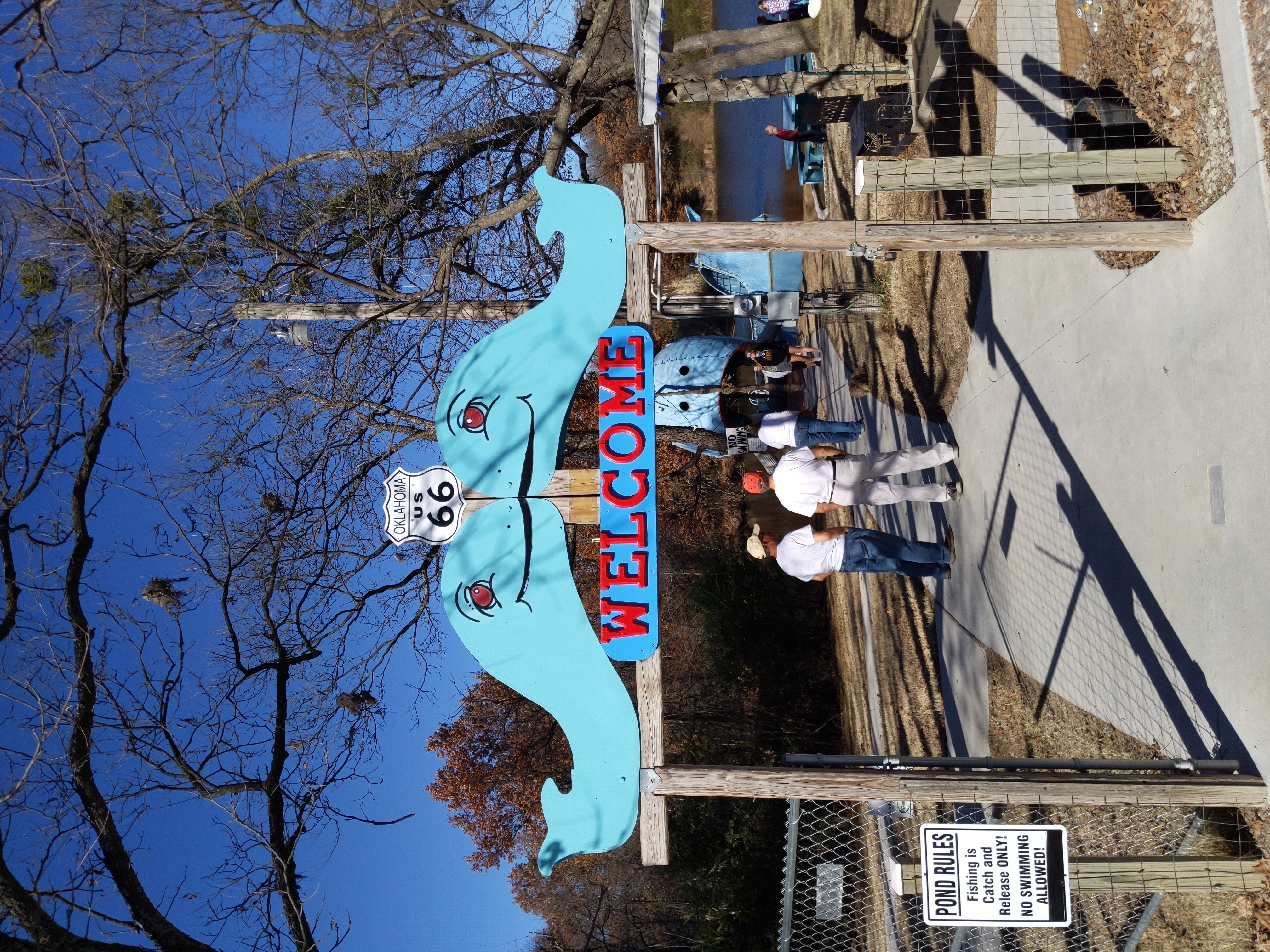
The Blue Whale of Catoosa entrance
Deer Run Apartments, Frederick Rd #, Claremore, OK, USA Karte
Suchen Sie einen anderen Ort
Nahe Plätze
Oklahoma 20, OK-20, USA
Rogers State University, W Will Rogers Blvd, Claremore, OK, USA
Riverwood Dr, Claremore, OK, USA
Winchester Ave, Claremore, OK, USA
E Clover Creek Dr, Claremore, OK, USA
E Clover Creek Dr, Claremore, OK, USA
Ratliff Dr, Claremore, OK, USA
E Clover Creek Dr, Claremore, OK, USA
Ratliff Dr, Claremore, OK, USA
E Clover Creek Dr, Claremore, OK, USA
S Stone Creek Dr, Claremore, OK, USA
E Clover Creek Dr, Claremore, OK, USA
E Clover Creek Dr, Claremore, OK, USA
Verdigris, OK, USA
W Channel Rd, Catoosa, OK, USA
Tulsa Port Of Catoosa, Cimarron Rd, Catoosa, OK, USA
Oklahoma Central Credit Union, N Hwy, Catoosa, OK, USA
Stone Canyon Lake, Stone Creek Trail, Owasso, OK, USA
E th Pl N, Owasso, OK, USA
Hi-View Mini Mart, E 96th St N, Owasso, OK, USA
Letzte Suche
- S Layton Cir W, Layton, UT, USA Sonnenaufgang Sonnenuntergang Zeiten
- Fairland Ave, Fairhope, AL, USA Sonnenaufgang Sonnenuntergang Zeiten
- Sunset Dr, Richmond, VA, USA Sonnenaufgang Sonnenuntergang Zeiten
- View Villa Apartments Hurghada, Al Ahyaa, Mubarak 7, Villa nr 2 Hurghada, قسم ثان الغردقة، محافظة ال Sonnenaufgang Sonnenuntergang Zeiten
- Grodna District, Hrodna Region, Belarus Sonnenaufgang Sonnenuntergang Zeiten
- Hrodna, Hrodsenskaja Woblasz, Belarus Sonnenaufgang Sonnenuntergang Zeiten
- Vydrino, Irkutsk Oblast, Russland Sonnenaufgang Sonnenuntergang Zeiten
- Worksop S81 8GA, UK Sonnenaufgang Sonnenuntergang Zeiten
- Cabo de Cruz, Boiro, A Coruña, Spain Sonnenaufgang Sonnenuntergang Zeiten
- Japan, 山形県 置賜地方 Sonnenaufgang Sonnenuntergang Zeiten