Commerce, OK, USA Sonnenaufgang Sonnenuntergang Zeiten
Location: USA > Oklahoma > Ottawa County >
Zeitzone:
America/Chicago
Ortszeit:
2024-05-08 23:52:56
Länge:
-94.8730095
Breite:
36.9334023
Sonnenaufgang Heute:
06:15:51 AM
Sonnenuntergang Heute:
08:15:57 PM
Tageslänge heute:
14h 0m 6s
Sonnenaufgang morgen:
06:14:56 AM
Sonnenuntergang Morgen:
08:16:49 PM
Tageslänge von morgen:
14h 1m 53s
Alle Termine anzeigen
| Datum | Sonnenaufgang | Sonnenuntergang | Tageslänge |
|---|---|---|---|
| 2024-01-01 | 07:32:35 AM | 05:14:00 PM | 9h 41m 25s |
| 2024-01-02 | 07:32:43 AM | 05:14:48 PM | 9h 42m 5s |
| 2024-01-03 | 07:32:48 AM | 05:15:38 PM | 9h 42m 50s |
| 2024-01-04 | 07:32:52 AM | 05:16:28 PM | 9h 43m 36s |
| 2024-01-05 | 07:32:53 AM | 05:17:20 PM | 9h 44m 27s |
| 2024-01-06 | 07:32:53 AM | 05:18:13 PM | 9h 45m 20s |
| 2024-01-07 | 07:32:50 AM | 05:19:07 PM | 9h 46m 17s |
| 2024-01-08 | 07:32:46 AM | 05:20:02 PM | 9h 47m 16s |
| 2024-01-09 | 07:32:39 AM | 05:20:58 PM | 9h 48m 19s |
| 2024-01-10 | 07:32:30 AM | 05:21:55 PM | 9h 49m 25s |
| 2024-01-11 | 07:32:20 AM | 05:22:53 PM | 9h 50m 33s |
| 2024-01-12 | 07:32:07 AM | 05:23:51 PM | 9h 51m 44s |
| 2024-01-13 | 07:31:53 AM | 05:24:50 PM | 9h 52m 57s |
| 2024-01-14 | 07:31:36 AM | 05:25:50 PM | 9h 54m 14s |
| 2024-01-15 | 07:31:17 AM | 05:26:51 PM | 9h 55m 34s |
| 2024-01-16 | 07:30:57 AM | 05:27:52 PM | 9h 56m 55s |
| 2024-01-17 | 07:30:34 AM | 05:28:54 PM | 9h 58m 20s |
| 2024-01-18 | 07:30:10 AM | 05:29:56 PM | 9h 59m 46s |
| 2024-01-19 | 07:29:43 AM | 05:30:59 PM | 10h 1m 16s |
| 2024-01-20 | 07:29:15 AM | 05:32:02 PM | 10h 2m 47s |
| 2024-01-21 | 07:28:45 AM | 05:33:06 PM | 10h 4m 21s |
| 2024-01-22 | 07:28:13 AM | 05:34:10 PM | 10h 5m 57s |
| 2024-01-23 | 07:27:39 AM | 05:35:14 PM | 10h 7m 35s |
| 2024-01-24 | 07:27:03 AM | 05:36:18 PM | 10h 9m 15s |
| 2024-01-25 | 07:26:25 AM | 05:37:23 PM | 10h 10m 58s |
| 2024-01-26 | 07:25:46 AM | 05:38:28 PM | 10h 12m 42s |
| 2024-01-27 | 07:25:05 AM | 05:39:33 PM | 10h 14m 28s |
| 2024-01-28 | 07:24:22 AM | 05:40:38 PM | 10h 16m 16s |
| 2024-01-29 | 07:23:38 AM | 05:41:43 PM | 10h 18m 5s |
| 2024-01-30 | 07:22:51 AM | 05:42:48 PM | 10h 19m 57s |
| 2024-01-31 | 07:22:04 AM | 05:43:53 PM | 10h 21m 49s |
| 2024-02-01 | 07:21:14 AM | 05:44:58 PM | 10h 23m 44s |
| 2024-02-02 | 07:20:23 AM | 05:46:04 PM | 10h 25m 41s |
| 2024-02-03 | 07:19:31 AM | 05:47:09 PM | 10h 27m 38s |
| 2024-02-04 | 07:18:37 AM | 05:48:13 PM | 10h 29m 36s |
| 2024-02-05 | 07:17:41 AM | 05:49:18 PM | 10h 31m 37s |
| 2024-02-06 | 07:16:44 AM | 05:50:23 PM | 10h 33m 39s |
| 2024-02-07 | 07:15:46 AM | 05:51:27 PM | 10h 35m 41s |
| 2024-02-08 | 07:14:46 AM | 05:52:32 PM | 10h 37m 46s |
| 2024-02-09 | 07:13:45 AM | 05:53:36 PM | 10h 39m 51s |
| 2024-02-10 | 07:12:42 AM | 05:54:40 PM | 10h 41m 58s |
| 2024-02-11 | 07:11:38 AM | 05:55:43 PM | 10h 44m 5s |
| 2024-02-12 | 07:10:33 AM | 05:56:47 PM | 10h 46m 14s |
| 2024-02-13 | 07:09:27 AM | 05:57:50 PM | 10h 48m 23s |
| 2024-02-14 | 07:08:20 AM | 05:58:53 PM | 10h 50m 33s |
| 2024-02-15 | 07:07:11 AM | 05:59:55 PM | 10h 52m 44s |
| 2024-02-16 | 07:06:01 AM | 06:00:57 PM | 10h 54m 56s |
| 2024-02-17 | 07:04:50 AM | 06:01:59 PM | 10h 57m 9s |
| 2024-02-18 | 07:03:38 AM | 06:03:01 PM | 10h 59m 23s |
| 2024-02-19 | 07:02:25 AM | 06:04:02 PM | 11h 1m 37s |
| 2024-02-20 | 07:01:11 AM | 06:05:03 PM | 11h 3m 52s |
| 2024-02-21 | 06:59:56 AM | 06:06:04 PM | 11h 6m 8s |
| 2024-02-22 | 06:58:40 AM | 06:07:04 PM | 11h 8m 24s |
| 2024-02-23 | 06:57:24 AM | 06:08:04 PM | 11h 10m 40s |
| 2024-02-24 | 06:56:06 AM | 06:09:04 PM | 11h 12m 58s |
| 2024-02-25 | 06:54:47 AM | 06:10:03 PM | 11h 15m 16s |
| 2024-02-26 | 06:53:28 AM | 06:11:02 PM | 11h 17m 34s |
| 2024-02-27 | 06:52:08 AM | 06:12:01 PM | 11h 19m 53s |
| 2024-02-28 | 06:50:47 AM | 06:13:00 PM | 11h 22m 13s |
| 2024-02-29 | 06:49:26 AM | 06:13:58 PM | 11h 24m 32s |
| 2024-03-01 | 06:48:03 AM | 06:14:55 PM | 11h 26m 52s |
| 2024-03-02 | 06:46:41 AM | 06:15:53 PM | 11h 29m 12s |
| 2024-03-03 | 06:45:17 AM | 06:16:50 PM | 11h 31m 33s |
| 2024-03-04 | 06:43:53 AM | 06:17:47 PM | 11h 33m 54s |
| 2024-03-05 | 06:42:29 AM | 06:18:44 PM | 11h 36m 15s |
| 2024-03-06 | 06:41:03 AM | 06:19:40 PM | 11h 38m 37s |
| 2024-03-07 | 06:39:38 AM | 06:20:36 PM | 11h 40m 58s |
| 2024-03-08 | 06:38:12 AM | 06:21:32 PM | 11h 43m 20s |
| 2024-03-09 | 06:36:45 AM | 06:22:27 PM | 11h 45m 42s |
| 2024-03-10 | 07:35:22 AM | 07:23:20 PM | 11h 47m 58s |
| 2024-03-11 | 07:33:55 AM | 07:24:15 PM | 11h 50m 20s |
| 2024-03-12 | 07:32:27 AM | 07:25:10 PM | 11h 52m 43s |
| 2024-03-13 | 07:31:00 AM | 07:26:05 PM | 11h 55m 5s |
| 2024-03-14 | 07:29:31 AM | 07:26:59 PM | 11h 57m 28s |
| 2024-03-15 | 07:28:03 AM | 07:27:54 PM | 11h 59m 51s |
| 2024-03-16 | 07:26:34 AM | 07:28:48 PM | 12h 2m 14s |
| 2024-03-17 | 07:25:06 AM | 07:29:42 PM | 12h 4m 36s |
| 2024-03-18 | 07:23:37 AM | 07:30:35 PM | 12h 6m 58s |
| 2024-03-19 | 07:22:08 AM | 07:31:29 PM | 12h 9m 21s |
| 2024-03-20 | 07:20:39 AM | 07:32:22 PM | 12h 11m 43s |
| 2024-03-21 | 07:19:10 AM | 07:33:16 PM | 12h 14m 6s |
| 2024-03-22 | 07:17:40 AM | 07:34:09 PM | 12h 16m 29s |
| 2024-03-23 | 07:16:11 AM | 07:35:02 PM | 12h 18m 51s |
| 2024-03-24 | 07:14:42 AM | 07:35:55 PM | 12h 21m 13s |
| 2024-03-25 | 07:13:13 AM | 07:36:48 PM | 12h 23m 35s |
| 2024-03-26 | 07:11:44 AM | 07:37:41 PM | 12h 25m 57s |
| 2024-03-27 | 07:10:15 AM | 07:38:33 PM | 12h 28m 18s |
| 2024-03-28 | 07:08:46 AM | 07:39:26 PM | 12h 30m 40s |
| 2024-03-29 | 07:07:18 AM | 07:40:19 PM | 12h 33m 1s |
| 2024-03-30 | 07:05:49 AM | 07:41:11 PM | 12h 35m 22s |
| 2024-03-31 | 07:04:21 AM | 07:42:04 PM | 12h 37m 43s |
| 2024-04-01 | 07:02:53 AM | 07:42:56 PM | 12h 40m 3s |
| 2024-04-02 | 07:01:25 AM | 07:43:49 PM | 12h 42m 24s |
| 2024-04-03 | 06:59:58 AM | 07:44:41 PM | 12h 44m 43s |
| 2024-04-04 | 06:58:31 AM | 07:45:34 PM | 12h 47m 3s |
| 2024-04-05 | 06:57:05 AM | 07:46:27 PM | 12h 49m 22s |
| 2024-04-06 | 06:55:39 AM | 07:47:19 PM | 12h 51m 40s |
| 2024-04-07 | 06:54:13 AM | 07:48:12 PM | 12h 53m 59s |
| 2024-04-08 | 06:52:48 AM | 07:49:04 PM | 12h 56m 16s |
| 2024-04-09 | 06:51:23 AM | 07:49:57 PM | 12h 58m 34s |
| 2024-04-10 | 06:49:59 AM | 07:50:50 PM | 13h 0m 51s |
| 2024-04-11 | 06:48:35 AM | 07:51:43 PM | 13h 3m 8s |
| 2024-04-12 | 06:47:12 AM | 07:52:35 PM | 13h 5m 23s |
| 2024-04-13 | 06:45:50 AM | 07:53:28 PM | 13h 7m 38s |
| 2024-04-14 | 06:44:28 AM | 07:54:21 PM | 13h 9m 53s |
| 2024-04-15 | 06:43:07 AM | 07:55:14 PM | 13h 12m 7s |
| 2024-04-16 | 06:41:47 AM | 07:56:07 PM | 13h 14m 20s |
| 2024-04-17 | 06:40:27 AM | 07:57:00 PM | 13h 16m 33s |
| 2024-04-18 | 06:39:08 AM | 07:57:53 PM | 13h 18m 45s |
| 2024-04-19 | 06:37:50 AM | 07:58:46 PM | 13h 20m 56s |
| 2024-04-20 | 06:36:33 AM | 07:59:39 PM | 13h 23m 6s |
| 2024-04-21 | 06:35:16 AM | 08:00:33 PM | 13h 25m 17s |
| 2024-04-22 | 06:34:01 AM | 08:01:26 PM | 13h 27m 25s |
| 2024-04-23 | 06:32:46 AM | 08:02:19 PM | 13h 29m 33s |
| 2024-04-24 | 06:31:33 AM | 08:03:12 PM | 13h 31m 39s |
| 2024-04-25 | 06:30:20 AM | 08:04:06 PM | 13h 33m 46s |
| 2024-04-26 | 06:29:08 AM | 08:04:59 PM | 13h 35m 51s |
| 2024-04-27 | 06:27:58 AM | 08:05:52 PM | 13h 37m 54s |
| 2024-04-28 | 06:26:48 AM | 08:06:45 PM | 13h 39m 57s |
| 2024-04-29 | 06:25:40 AM | 08:07:39 PM | 13h 41m 59s |
| 2024-04-30 | 06:24:32 AM | 08:08:32 PM | 13h 44m 0s |
| 2024-05-01 | 06:23:26 AM | 08:09:25 PM | 13h 45m 59s |
| 2024-05-02 | 06:22:21 AM | 08:10:18 PM | 13h 47m 57s |
| 2024-05-03 | 06:21:17 AM | 08:11:11 PM | 13h 49m 54s |
| 2024-05-04 | 06:20:15 AM | 08:12:03 PM | 13h 51m 48s |
| 2024-05-05 | 06:19:13 AM | 08:12:56 PM | 13h 53m 43s |
| 2024-05-06 | 06:18:13 AM | 08:13:49 PM | 13h 55m 36s |
| 2024-05-07 | 06:17:15 AM | 08:14:41 PM | 13h 57m 26s |
| 2024-05-08 | 06:16:17 AM | 08:15:33 PM | 13h 59m 16s |
| 2024-05-09 | 06:15:21 AM | 08:16:25 PM | 14h 1m 4s |
| 2024-05-10 | 06:14:27 AM | 08:17:17 PM | 14h 2m 50s |
| 2024-05-11 | 06:13:33 AM | 08:18:08 PM | 14h 4m 35s |
| 2024-05-12 | 06:12:42 AM | 08:18:59 PM | 14h 6m 17s |
| 2024-05-13 | 06:11:51 AM | 08:19:50 PM | 14h 7m 59s |
| 2024-05-14 | 06:11:02 AM | 08:20:40 PM | 14h 9m 38s |
| 2024-05-15 | 06:10:15 AM | 08:21:30 PM | 14h 11m 15s |
| 2024-05-16 | 06:09:29 AM | 08:22:20 PM | 14h 12m 51s |
| 2024-05-17 | 06:08:45 AM | 08:23:09 PM | 14h 14m 24s |
| 2024-05-18 | 06:08:02 AM | 08:23:58 PM | 14h 15m 56s |
| 2024-05-19 | 06:07:21 AM | 08:24:46 PM | 14h 17m 25s |
| 2024-05-20 | 06:06:42 AM | 08:25:34 PM | 14h 18m 52s |
| 2024-05-21 | 06:06:04 AM | 08:26:21 PM | 14h 20m 17s |
| 2024-05-22 | 06:05:28 AM | 08:27:07 PM | 14h 21m 39s |
| 2024-05-23 | 06:04:53 AM | 08:27:53 PM | 14h 23m 0s |
| 2024-05-24 | 06:04:20 AM | 08:28:38 PM | 14h 24m 18s |
| 2024-05-25 | 06:03:49 AM | 08:29:22 PM | 14h 25m 33s |
| 2024-05-26 | 06:03:20 AM | 08:30:06 PM | 14h 26m 46s |
| 2024-05-27 | 06:02:52 AM | 08:30:49 PM | 14h 27m 57s |
| 2024-05-28 | 06:02:26 AM | 08:31:31 PM | 14h 29m 5s |
| 2024-05-29 | 06:02:02 AM | 08:32:12 PM | 14h 30m 10s |
| 2024-05-30 | 06:01:39 AM | 08:32:52 PM | 14h 31m 13s |
| 2024-05-31 | 06:01:19 AM | 08:33:32 PM | 14h 32m 13s |
| 2024-06-01 | 06:00:59 AM | 08:34:10 PM | 14h 33m 11s |
| 2024-06-02 | 06:00:42 AM | 08:34:47 PM | 14h 34m 5s |
| 2024-06-03 | 06:00:27 AM | 08:35:23 PM | 14h 34m 56s |
| 2024-06-04 | 06:00:13 AM | 08:35:59 PM | 14h 35m 46s |
| 2024-06-05 | 06:00:01 AM | 08:36:32 PM | 14h 36m 31s |
| 2024-06-06 | 05:59:51 AM | 08:37:05 PM | 14h 37m 14s |
| 2024-06-07 | 05:59:42 AM | 08:37:37 PM | 14h 37m 55s |
| 2024-06-08 | 05:59:35 AM | 08:38:07 PM | 14h 38m 32s |
| 2024-06-09 | 05:59:30 AM | 08:38:36 PM | 14h 39m 6s |
| 2024-06-10 | 05:59:27 AM | 08:39:04 PM | 14h 39m 37s |
| 2024-06-11 | 05:59:25 AM | 08:39:31 PM | 14h 40m 6s |
| 2024-06-12 | 05:59:26 AM | 08:39:56 PM | 14h 40m 30s |
| 2024-06-13 | 05:59:27 AM | 08:40:19 PM | 14h 40m 52s |
| 2024-06-14 | 05:59:31 AM | 08:40:41 PM | 14h 41m 10s |
| 2024-06-15 | 05:59:36 AM | 08:41:02 PM | 14h 41m 26s |
| 2024-06-16 | 05:59:43 AM | 08:41:21 PM | 14h 41m 38s |
| 2024-06-17 | 05:59:52 AM | 08:41:39 PM | 14h 41m 47s |
| 2024-06-18 | 06:00:02 AM | 08:41:55 PM | 14h 41m 53s |
| 2024-06-19 | 06:00:13 AM | 08:42:09 PM | 14h 41m 56s |
| 2024-06-20 | 06:00:27 AM | 08:42:22 PM | 14h 41m 55s |
| 2024-06-21 | 06:00:41 AM | 08:42:34 PM | 14h 41m 53s |
| 2024-06-22 | 06:00:58 AM | 08:42:43 PM | 14h 41m 45s |
| 2024-06-23 | 06:01:15 AM | 08:42:51 PM | 14h 41m 36s |
| 2024-06-24 | 06:01:35 AM | 08:42:57 PM | 14h 41m 22s |
| 2024-06-25 | 06:01:55 AM | 08:43:02 PM | 14h 41m 7s |
| 2024-06-26 | 06:02:17 AM | 08:43:05 PM | 14h 40m 48s |
| 2024-06-27 | 06:02:41 AM | 08:43:06 PM | 14h 40m 25s |
| 2024-06-28 | 06:03:06 AM | 08:43:05 PM | 14h 39m 59s |
| 2024-06-29 | 06:03:32 AM | 08:43:02 PM | 14h 39m 30s |
| 2024-06-30 | 06:03:59 AM | 08:42:58 PM | 14h 38m 59s |
| 2024-07-01 | 06:04:28 AM | 08:42:52 PM | 14h 38m 24s |
| 2024-07-02 | 06:04:57 AM | 08:42:44 PM | 14h 37m 47s |
| 2024-07-03 | 06:05:28 AM | 08:42:35 PM | 14h 37m 7s |
| 2024-07-04 | 06:06:01 AM | 08:42:23 PM | 14h 36m 22s |
| 2024-07-05 | 06:06:34 AM | 08:42:10 PM | 14h 35m 36s |
| 2024-07-06 | 06:07:08 AM | 08:41:55 PM | 14h 34m 47s |
| 2024-07-07 | 06:07:43 AM | 08:41:38 PM | 14h 33m 55s |
| 2024-07-08 | 06:08:19 AM | 08:41:19 PM | 14h 33m 0s |
| 2024-07-09 | 06:08:56 AM | 08:40:59 PM | 14h 32m 3s |
| 2024-07-10 | 06:09:35 AM | 08:40:37 PM | 14h 31m 2s |
| 2024-07-11 | 06:10:13 AM | 08:40:13 PM | 14h 30m 0s |
| 2024-07-12 | 06:10:53 AM | 08:39:47 PM | 14h 28m 54s |
| 2024-07-13 | 06:11:34 AM | 08:39:19 PM | 14h 27m 45s |
| 2024-07-14 | 06:12:15 AM | 08:38:50 PM | 14h 26m 35s |
| 2024-07-15 | 06:12:57 AM | 08:38:19 PM | 14h 25m 22s |
| 2024-07-16 | 06:13:40 AM | 08:37:46 PM | 14h 24m 6s |
| 2024-07-17 | 06:14:23 AM | 08:37:12 PM | 14h 22m 49s |
| 2024-07-18 | 06:15:07 AM | 08:36:36 PM | 14h 21m 29s |
| 2024-07-19 | 06:15:51 AM | 08:35:58 PM | 14h 20m 7s |
| 2024-07-20 | 06:16:36 AM | 08:35:19 PM | 14h 18m 43s |
| 2024-07-21 | 06:17:22 AM | 08:34:37 PM | 14h 17m 15s |
| 2024-07-22 | 06:18:08 AM | 08:33:55 PM | 14h 15m 47s |
| 2024-07-23 | 06:18:54 AM | 08:33:10 PM | 14h 14m 16s |
| 2024-07-24 | 06:19:41 AM | 08:32:24 PM | 14h 12m 43s |
| 2024-07-25 | 06:20:28 AM | 08:31:37 PM | 14h 11m 9s |
| 2024-07-26 | 06:21:16 AM | 08:30:48 PM | 14h 9m 32s |
| 2024-07-27 | 06:22:04 AM | 08:29:57 PM | 14h 7m 53s |
| 2024-07-28 | 06:22:52 AM | 08:29:05 PM | 14h 6m 13s |
| 2024-07-29 | 06:23:40 AM | 08:28:11 PM | 14h 4m 31s |
| 2024-07-30 | 06:24:29 AM | 08:27:16 PM | 14h 2m 47s |
| 2024-07-31 | 06:25:18 AM | 08:26:20 PM | 14h 1m 2s |
| 2024-08-01 | 06:26:07 AM | 08:25:22 PM | 13h 59m 15s |
| 2024-08-02 | 06:26:56 AM | 08:24:23 PM | 13h 57m 27s |
| 2024-08-03 | 06:27:45 AM | 08:23:22 PM | 13h 55m 37s |
| 2024-08-04 | 06:28:35 AM | 08:22:20 PM | 13h 53m 45s |
| 2024-08-05 | 06:29:24 AM | 08:21:17 PM | 13h 51m 53s |
| 2024-08-06 | 06:30:14 AM | 08:20:13 PM | 13h 49m 59s |
| 2024-08-07 | 06:31:03 AM | 08:19:07 PM | 13h 48m 4s |
| 2024-08-08 | 06:31:53 AM | 08:18:00 PM | 13h 46m 7s |
| 2024-08-09 | 06:32:43 AM | 08:16:52 PM | 13h 44m 9s |
| 2024-08-10 | 06:33:33 AM | 08:15:43 PM | 13h 42m 10s |
| 2024-08-11 | 06:34:22 AM | 08:14:33 PM | 13h 40m 11s |
| 2024-08-12 | 06:35:12 AM | 08:13:21 PM | 13h 38m 9s |
| 2024-08-13 | 06:36:02 AM | 08:12:09 PM | 13h 36m 7s |
| 2024-08-14 | 06:36:52 AM | 08:10:55 PM | 13h 34m 3s |
| 2024-08-15 | 06:37:41 AM | 08:09:41 PM | 13h 32m 0s |
| 2024-08-16 | 06:38:31 AM | 08:08:25 PM | 13h 29m 54s |
| 2024-08-17 | 06:39:20 AM | 08:07:08 PM | 13h 27m 48s |
| 2024-08-18 | 06:40:10 AM | 08:05:51 PM | 13h 25m 41s |
| 2024-08-19 | 06:40:59 AM | 08:04:33 PM | 13h 23m 34s |
| 2024-08-20 | 06:41:49 AM | 08:03:14 PM | 13h 21m 25s |
| 2024-08-21 | 06:42:38 AM | 08:01:54 PM | 13h 19m 16s |
| 2024-08-22 | 06:43:27 AM | 08:00:33 PM | 13h 17m 6s |
| 2024-08-23 | 06:44:16 AM | 07:59:11 PM | 13h 14m 55s |
| 2024-08-24 | 06:45:05 AM | 07:57:49 PM | 13h 12m 44s |
| 2024-08-25 | 06:45:54 AM | 07:56:26 PM | 13h 10m 32s |
| 2024-08-26 | 06:46:43 AM | 07:55:02 PM | 13h 8m 19s |
| 2024-08-27 | 06:47:32 AM | 07:53:38 PM | 13h 6m 6s |
| 2024-08-28 | 06:48:21 AM | 07:52:13 PM | 13h 3m 52s |
| 2024-08-29 | 06:49:09 AM | 07:50:47 PM | 13h 1m 38s |
| 2024-08-30 | 06:49:58 AM | 07:49:21 PM | 12h 59m 23s |
| 2024-08-31 | 06:50:46 AM | 07:47:54 PM | 12h 57m 8s |
| 2024-09-01 | 06:51:35 AM | 07:46:27 PM | 12h 54m 52s |
| 2024-09-02 | 06:52:23 AM | 07:44:59 PM | 12h 52m 36s |
| 2024-09-03 | 06:53:12 AM | 07:43:31 PM | 12h 50m 19s |
| 2024-09-04 | 06:54:00 AM | 07:42:03 PM | 12h 48m 3s |
| 2024-09-05 | 06:54:48 AM | 07:40:34 PM | 12h 45m 46s |
| 2024-09-06 | 06:55:37 AM | 07:39:04 PM | 12h 43m 27s |
| 2024-09-07 | 06:56:25 AM | 07:37:35 PM | 12h 41m 10s |
| 2024-09-08 | 06:57:13 AM | 07:36:05 PM | 12h 38m 52s |
| 2024-09-09 | 06:58:01 AM | 07:34:35 PM | 12h 36m 34s |
| 2024-09-10 | 06:58:49 AM | 07:33:04 PM | 12h 34m 15s |
| 2024-09-11 | 06:59:38 AM | 07:31:33 PM | 12h 31m 55s |
| 2024-09-12 | 07:00:26 AM | 07:30:02 PM | 12h 29m 36s |
| 2024-09-13 | 07:01:14 AM | 07:28:31 PM | 12h 27m 17s |
| 2024-09-14 | 07:02:03 AM | 07:27:00 PM | 12h 24m 57s |
| 2024-09-15 | 07:02:51 AM | 07:25:29 PM | 12h 22m 38s |
| 2024-09-16 | 07:03:40 AM | 07:23:57 PM | 12h 20m 17s |
| 2024-09-17 | 07:04:28 AM | 07:22:26 PM | 12h 17m 58s |
| 2024-09-18 | 07:05:17 AM | 07:20:54 PM | 12h 15m 37s |
| 2024-09-19 | 07:06:06 AM | 07:19:23 PM | 12h 13m 17s |
| 2024-09-20 | 07:06:55 AM | 07:17:52 PM | 12h 10m 57s |
| 2024-09-21 | 07:07:44 AM | 07:16:20 PM | 12h 8m 36s |
| 2024-09-22 | 07:08:33 AM | 07:14:49 PM | 12h 6m 16s |
| 2024-09-23 | 07:09:22 AM | 07:13:18 PM | 12h 3m 56s |
| 2024-09-24 | 07:10:12 AM | 07:11:47 PM | 12h 1m 35s |
| 2024-09-25 | 07:11:01 AM | 07:10:16 PM | 11h 59m 15s |
| 2024-09-26 | 07:11:51 AM | 07:08:46 PM | 11h 56m 55s |
| 2024-09-27 | 07:12:41 AM | 07:07:15 PM | 11h 54m 34s |
| 2024-09-28 | 07:13:31 AM | 07:05:45 PM | 11h 52m 14s |
| 2024-09-29 | 07:14:22 AM | 07:04:15 PM | 11h 49m 53s |
| 2024-09-30 | 07:15:13 AM | 07:02:46 PM | 11h 47m 33s |
| 2024-10-01 | 07:16:04 AM | 07:01:17 PM | 11h 45m 13s |
| 2024-10-02 | 07:16:55 AM | 06:59:48 PM | 11h 42m 53s |
| 2024-10-03 | 07:17:46 AM | 06:58:20 PM | 11h 40m 34s |
| 2024-10-04 | 07:18:38 AM | 06:56:52 PM | 11h 38m 14s |
| 2024-10-05 | 07:19:30 AM | 06:55:25 PM | 11h 35m 55s |
| 2024-10-06 | 07:20:22 AM | 06:53:58 PM | 11h 33m 36s |
| 2024-10-07 | 07:21:15 AM | 06:52:32 PM | 11h 31m 17s |
| 2024-10-08 | 07:22:08 AM | 06:51:06 PM | 11h 28m 58s |
| 2024-10-09 | 07:23:01 AM | 06:49:41 PM | 11h 26m 40s |
| 2024-10-10 | 07:23:54 AM | 06:48:17 PM | 11h 24m 23s |
| 2024-10-11 | 07:24:48 AM | 06:46:53 PM | 11h 22m 5s |
| 2024-10-12 | 07:25:43 AM | 06:45:30 PM | 11h 19m 47s |
| 2024-10-13 | 07:26:37 AM | 06:44:08 PM | 11h 17m 31s |
| 2024-10-14 | 07:27:32 AM | 06:42:47 PM | 11h 15m 15s |
| 2024-10-15 | 07:28:27 AM | 06:41:26 PM | 11h 12m 59s |
| 2024-10-16 | 07:29:23 AM | 06:40:06 PM | 11h 10m 43s |
| 2024-10-17 | 07:30:19 AM | 06:38:47 PM | 11h 8m 28s |
| 2024-10-18 | 07:31:15 AM | 06:37:29 PM | 11h 6m 14s |
| 2024-10-19 | 07:32:12 AM | 06:36:12 PM | 11h 4m 0s |
| 2024-10-20 | 07:33:09 AM | 06:34:55 PM | 11h 1m 46s |
| 2024-10-21 | 07:34:06 AM | 06:33:40 PM | 10h 59m 34s |
| 2024-10-22 | 07:35:04 AM | 06:32:26 PM | 10h 57m 22s |
| 2024-10-23 | 07:36:02 AM | 06:31:13 PM | 10h 55m 11s |
| 2024-10-24 | 07:37:00 AM | 06:30:01 PM | 10h 53m 1s |
| 2024-10-25 | 07:37:59 AM | 06:28:50 PM | 10h 50m 51s |
| 2024-10-26 | 07:38:58 AM | 06:27:40 PM | 10h 48m 42s |
| 2024-10-27 | 07:39:57 AM | 06:26:31 PM | 10h 46m 34s |
| 2024-10-28 | 07:40:57 AM | 06:25:24 PM | 10h 44m 27s |
| 2024-10-29 | 07:41:57 AM | 06:24:18 PM | 10h 42m 21s |
| 2024-10-30 | 07:42:57 AM | 06:23:13 PM | 10h 40m 16s |
| 2024-10-31 | 07:43:57 AM | 06:22:09 PM | 10h 38m 12s |
| 2024-11-01 | 07:44:58 AM | 06:21:07 PM | 10h 36m 9s |
| 2024-11-02 | 07:45:59 AM | 06:20:06 PM | 10h 34m 7s |
| 2024-11-03 | 06:47:03 AM | 05:19:05 PM | 10h 32m 2s |
| 2024-11-04 | 06:48:04 AM | 05:18:07 PM | 10h 30m 3s |
| 2024-11-05 | 06:49:06 AM | 05:17:10 PM | 10h 28m 4s |
| 2024-11-06 | 06:50:07 AM | 05:16:15 PM | 10h 26m 8s |
| 2024-11-07 | 06:51:09 AM | 05:15:22 PM | 10h 24m 13s |
| 2024-11-08 | 06:52:11 AM | 05:14:30 PM | 10h 22m 19s |
| 2024-11-09 | 06:53:14 AM | 05:13:40 PM | 10h 20m 26s |
| 2024-11-10 | 06:54:16 AM | 05:12:52 PM | 10h 18m 36s |
| 2024-11-11 | 06:55:18 AM | 05:12:05 PM | 10h 16m 47s |
| 2024-11-12 | 06:56:20 AM | 05:11:20 PM | 10h 15m 0s |
| 2024-11-13 | 06:57:22 AM | 05:10:36 PM | 10h 13m 14s |
| 2024-11-14 | 06:58:24 AM | 05:09:55 PM | 10h 11m 31s |
| 2024-11-15 | 06:59:26 AM | 05:09:15 PM | 10h 9m 49s |
| 2024-11-16 | 07:00:28 AM | 05:08:37 PM | 10h 8m 9s |
| 2024-11-17 | 07:01:30 AM | 05:08:00 PM | 10h 6m 30s |
| 2024-11-18 | 07:02:32 AM | 05:07:26 PM | 10h 4m 54s |
| 2024-11-19 | 07:03:33 AM | 05:06:54 PM | 10h 3m 21s |
| 2024-11-20 | 07:04:34 AM | 05:06:23 PM | 10h 1m 49s |
| 2024-11-21 | 07:05:34 AM | 05:05:54 PM | 10h 0m 20s |
| 2024-11-22 | 07:06:35 AM | 05:05:27 PM | 9h 58m 52s |
| 2024-11-23 | 07:07:35 AM | 05:05:03 PM | 9h 57m 28s |
| 2024-11-24 | 07:08:34 AM | 05:04:40 PM | 9h 56m 6s |
| 2024-11-25 | 07:09:33 AM | 05:04:19 PM | 9h 54m 46s |
| 2024-11-26 | 07:10:31 AM | 05:04:00 PM | 9h 53m 29s |
| 2024-11-27 | 07:11:29 AM | 05:03:43 PM | 9h 52m 14s |
| 2024-11-28 | 07:12:26 AM | 05:03:28 PM | 9h 51m 2s |
| 2024-11-29 | 07:13:23 AM | 05:03:16 PM | 9h 49m 53s |
| 2024-11-30 | 07:14:18 AM | 05:03:05 PM | 9h 48m 47s |
| 2024-12-01 | 07:15:13 AM | 05:02:56 PM | 9h 47m 43s |
| 2024-12-02 | 07:16:07 AM | 05:02:50 PM | 9h 46m 43s |
| 2024-12-03 | 07:17:00 AM | 05:02:45 PM | 9h 45m 45s |
| 2024-12-04 | 07:17:52 AM | 05:02:43 PM | 9h 44m 51s |
| 2024-12-05 | 07:18:43 AM | 05:02:43 PM | 9h 44m 0s |
| 2024-12-06 | 07:19:34 AM | 05:02:44 PM | 9h 43m 10s |
| 2024-12-07 | 07:20:23 AM | 05:02:48 PM | 9h 42m 25s |
| 2024-12-08 | 07:21:10 AM | 05:02:54 PM | 9h 41m 44s |
| 2024-12-09 | 07:21:57 AM | 05:03:02 PM | 9h 41m 5s |
| 2024-12-10 | 07:22:42 AM | 05:03:12 PM | 9h 40m 30s |
| 2024-12-11 | 07:23:27 AM | 05:03:23 PM | 9h 39m 56s |
| 2024-12-12 | 07:24:09 AM | 05:03:37 PM | 9h 39m 28s |
| 2024-12-13 | 07:24:51 AM | 05:03:53 PM | 9h 39m 2s |
| 2024-12-14 | 07:25:31 AM | 05:04:11 PM | 9h 38m 40s |
| 2024-12-15 | 07:26:09 AM | 05:04:31 PM | 9h 38m 22s |
| 2024-12-16 | 07:26:46 AM | 05:04:53 PM | 9h 38m 7s |
| 2024-12-17 | 07:27:21 AM | 05:05:16 PM | 9h 37m 55s |
| 2024-12-18 | 07:27:55 AM | 05:05:42 PM | 9h 37m 47s |
| 2024-12-19 | 07:28:27 AM | 05:06:09 PM | 9h 37m 42s |
| 2024-12-20 | 07:28:58 AM | 05:06:38 PM | 9h 37m 40s |
| 2024-12-21 | 07:29:26 AM | 05:07:09 PM | 9h 37m 43s |
| 2024-12-22 | 07:29:53 AM | 05:07:42 PM | 9h 37m 49s |
| 2024-12-23 | 07:30:19 AM | 05:08:16 PM | 9h 37m 57s |
| 2024-12-24 | 07:30:42 AM | 05:08:53 PM | 9h 38m 11s |
| 2024-12-25 | 07:31:04 AM | 05:09:30 PM | 9h 38m 26s |
| 2024-12-26 | 07:31:23 AM | 05:10:10 PM | 9h 38m 47s |
| 2024-12-27 | 07:31:41 AM | 05:10:50 PM | 9h 39m 9s |
| 2024-12-28 | 07:31:57 AM | 05:11:33 PM | 9h 39m 36s |
| 2024-12-29 | 07:32:11 AM | 05:12:17 PM | 9h 40m 6s |
| 2024-12-30 | 07:32:23 AM | 05:13:02 PM | 9h 40m 39s |
Fotos
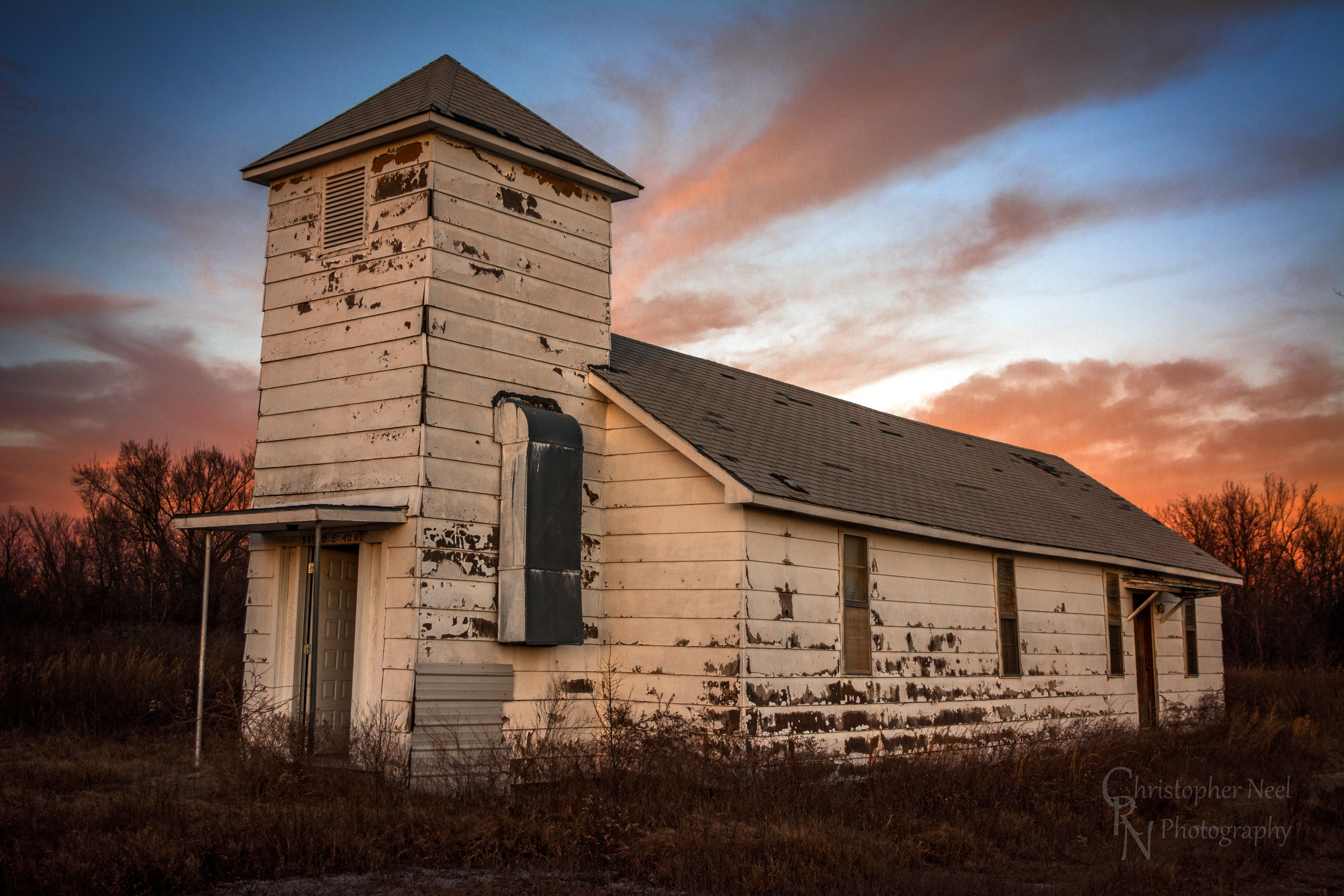
Abandoned Church in Picher, OK - 20150124CRN
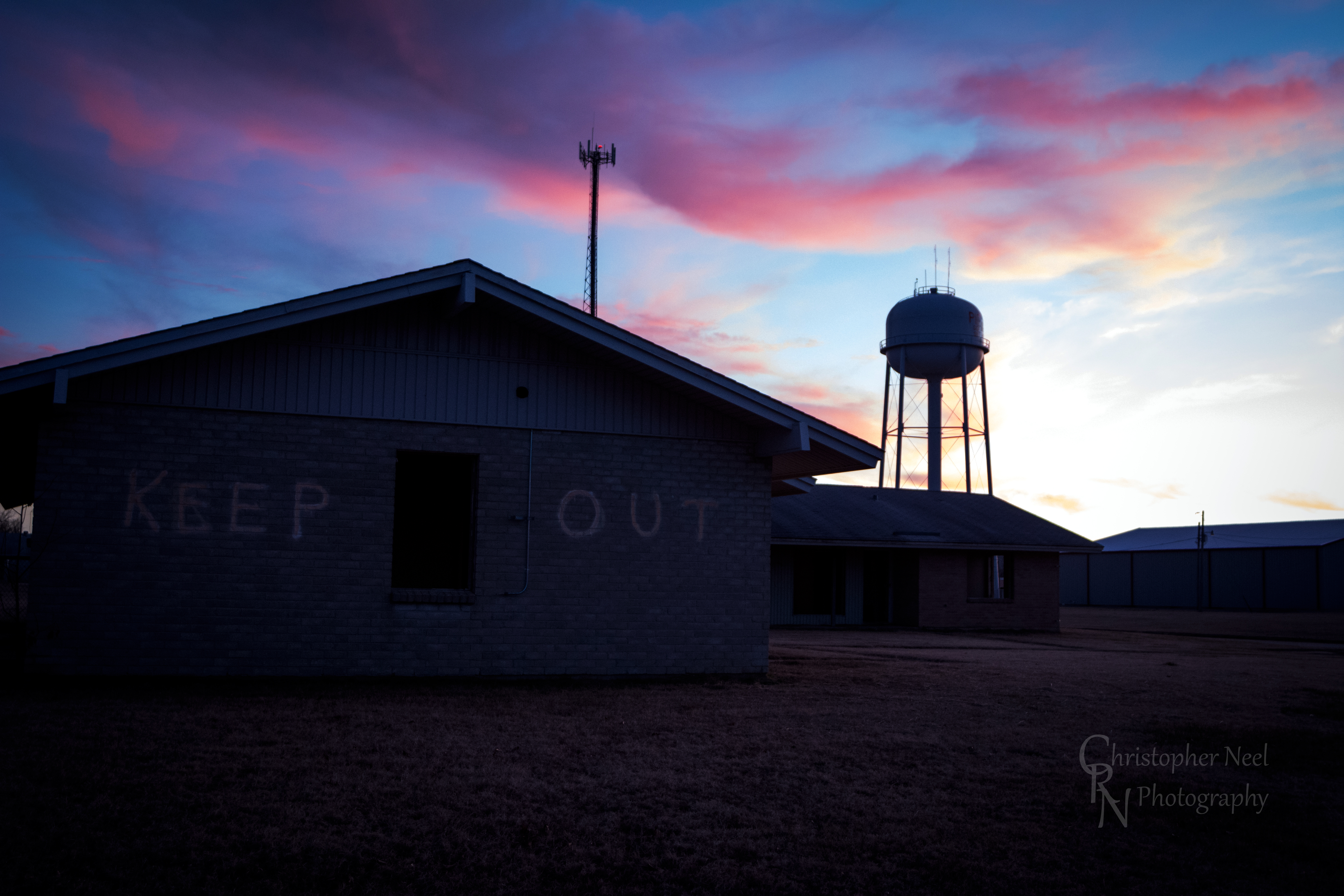
Abandoned Building Keep Out and Sunset in Picher, OK - 20150124CRN

10-06-09 Day 12 - Route 66
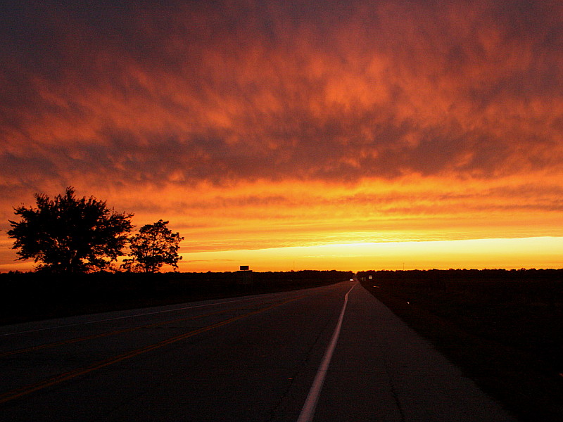
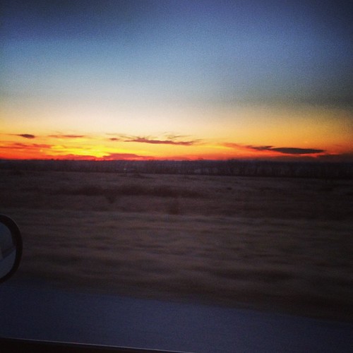
Sunset on Route 66
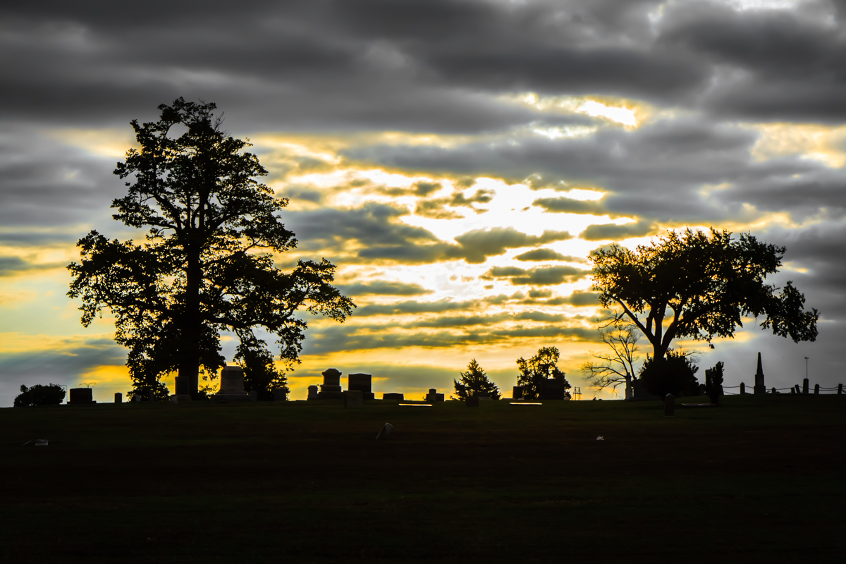
Baxter Springs Cemetery

Indian Paintbrush Profile
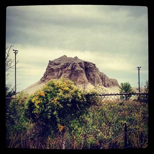
Abandoned 3-2 ballpark & chatpile in Picher, OK, site of the largest toxic waste site in US
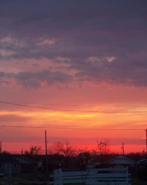
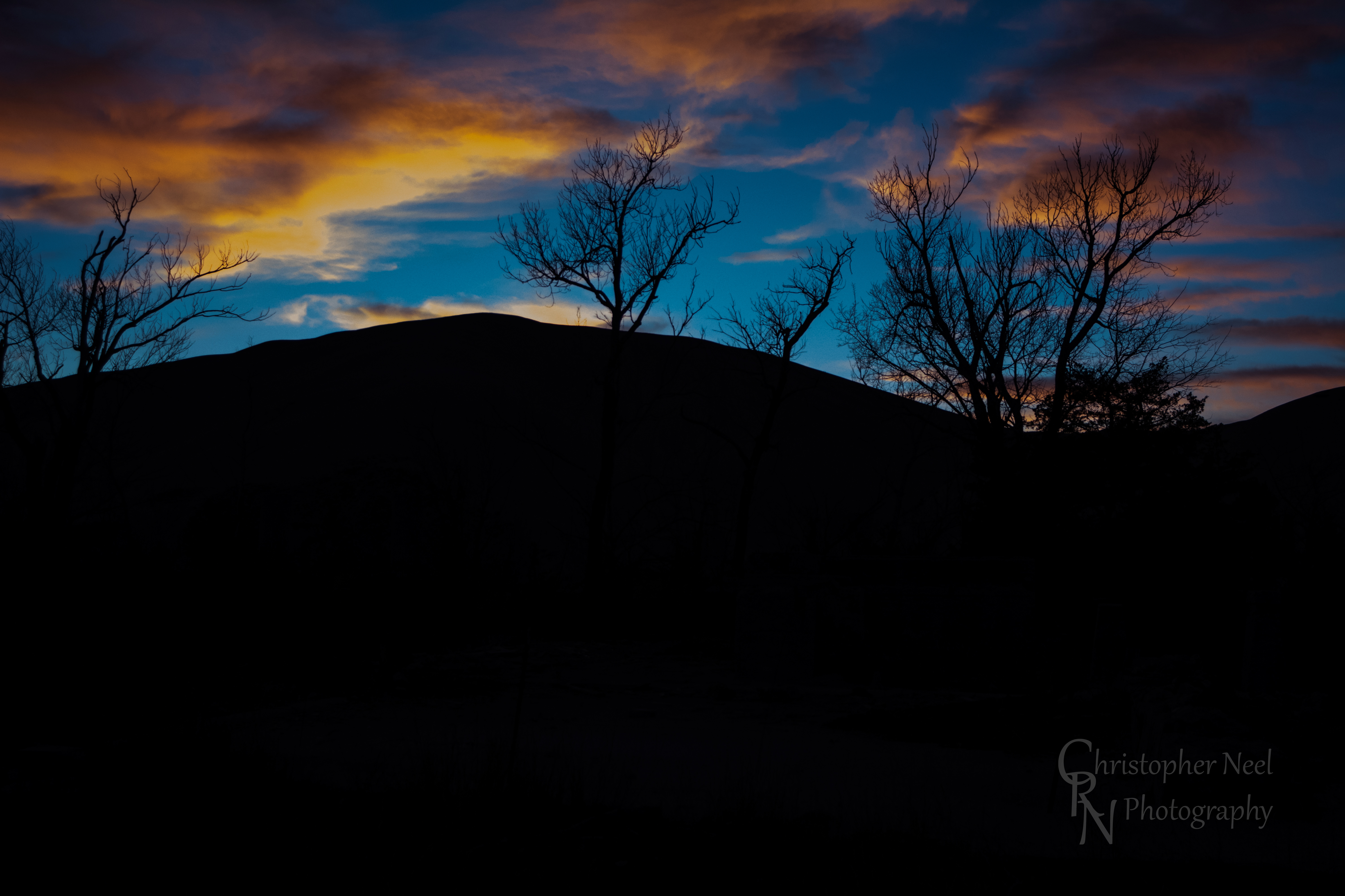
Winter sunsets.
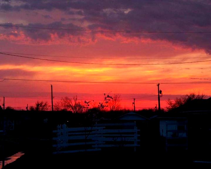
Sky Ablaze

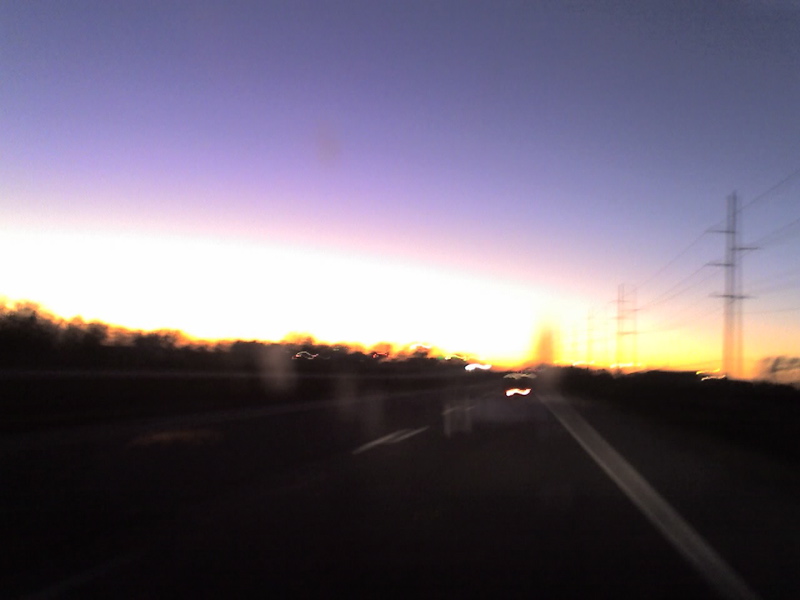
Sudden sunset
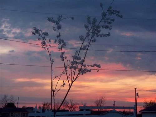
Sudden sunset close
Kiss the Sky
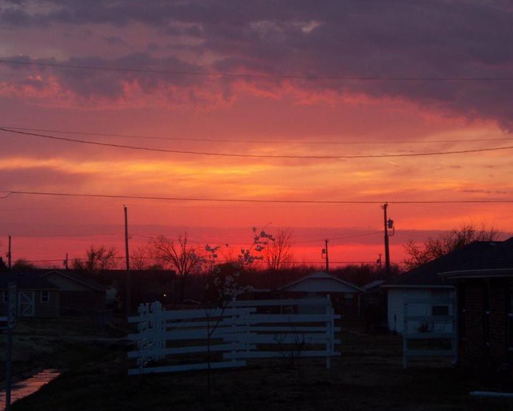
Sky Ablaze

10-06-09 Day 12 - Route 66
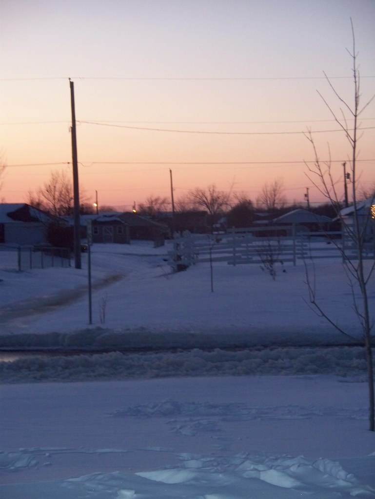
Snow Sunset

10-06-09 Day 12 - Route 66
Sunset in Quapaw, Oklahoma

10-06-09 Day 12 - Route 66
Sunset against a Silhouetted Chat Pile in Picher, OK - 20150124CRN

10-06-09 Day 12 - Route 66
Sunrise
Commerce, OK, USA Karte
Suchen Sie einen anderen Ort
Nahe Plätze
Commerce St, Commerce, OK, USA
Sky Harbor Drive, Sky Harbor Dr, Miami, OK, USA
Playland Lanes, 5th Ave NE, Miami, OK, USA
HK Electric, N Main St, Miami, OK, USA
McKinley St, Miami, OK, USA
J St NW, Miami, OK, USA
NEO A&M College, I St NE, Miami, OK, USA
17 G St NE, Miami, OK, USA
Miami, OK, USA
Days Inn by Wyndham Miami, E Steve Owens Blvd, Miami, OK, USA
Neo Medical Center: Grotheer Martin H MD, 10 S Treaty Rd, Miami, OK, USA
Miami Municipal Pool, Miami, OK, USA
Eastgate Blvd, Miami, OK, USA
Quapaw, OK, USA
Virginia St, Quapaw, OK, USA
Spring Valley, KS, USA
W 12th St, Baxter Springs, KS, USA
Baxter Springs Golf & Country Club, Hale Irwin Dr, Baxter Springs, KS, USA
Baxter Springs, KS, USA
U.S. 69, US-69, USA
Letzte Suche
- W Prive Cir, Delray Beach, FL, USA Sonnenaufgang Sonnenuntergang Zeiten
- S Layton Cir W, Layton, UT, USA Sonnenaufgang Sonnenuntergang Zeiten
- Fairland Ave, Fairhope, AL, USA Sonnenaufgang Sonnenuntergang Zeiten
- Sunset Dr, Richmond, VA, USA Sonnenaufgang Sonnenuntergang Zeiten
- View Villa Apartments Hurghada, Al Ahyaa, Mubarak 7, Villa nr 2 Hurghada, قسم ثان الغردقة، محافظة ال Sonnenaufgang Sonnenuntergang Zeiten
- Grodna District, Hrodna Region, Belarus Sonnenaufgang Sonnenuntergang Zeiten
- Hrodna, Hrodsenskaja Woblasz, Belarus Sonnenaufgang Sonnenuntergang Zeiten
- Vydrino, Irkutsk Oblast, Russland Sonnenaufgang Sonnenuntergang Zeiten
- Worksop S81 8GA, UK Sonnenaufgang Sonnenuntergang Zeiten
- Cabo de Cruz, Boiro, A Coruña, Spain Sonnenaufgang Sonnenuntergang Zeiten