Chic Rd, Finley, TN, USA Sonnenaufgang Sonnenuntergang Zeiten
Location: USA > Tennessee > Dyer County > Finley >
Zeitzone:
America/Chicago
Ortszeit:
2024-05-05 03:01:19
Länge:
-89.688736
Breite:
36.00329
Sonnenaufgang Heute:
06:00:52 AM
Sonnenuntergang Heute:
07:49:53 PM
Tageslänge heute:
13h 49m 1s
Sonnenaufgang morgen:
05:59:54 AM
Sonnenuntergang Morgen:
07:50:44 PM
Tageslänge von morgen:
13h 50m 50s
Alle Termine anzeigen
| Datum | Sonnenaufgang | Sonnenuntergang | Tageslänge |
|---|---|---|---|
| 2024-01-01 | 07:09:21 AM | 04:55:44 PM | 9h 46m 23s |
| 2024-01-02 | 07:09:30 AM | 04:56:32 PM | 9h 47m 2s |
| 2024-01-03 | 07:09:36 AM | 04:57:20 PM | 9h 47m 44s |
| 2024-01-04 | 07:09:41 AM | 04:58:10 PM | 9h 48m 29s |
| 2024-01-05 | 07:09:43 AM | 04:59:01 PM | 9h 49m 18s |
| 2024-01-06 | 07:09:44 AM | 04:59:53 PM | 9h 50m 9s |
| 2024-01-07 | 07:09:42 AM | 05:00:46 PM | 9h 51m 4s |
| 2024-01-08 | 07:09:39 AM | 05:01:40 PM | 9h 52m 1s |
| 2024-01-09 | 07:09:33 AM | 05:02:35 PM | 9h 53m 2s |
| 2024-01-10 | 07:09:26 AM | 05:03:30 PM | 9h 54m 4s |
| 2024-01-11 | 07:09:17 AM | 05:04:27 PM | 9h 55m 10s |
| 2024-01-12 | 07:09:05 AM | 05:05:24 PM | 9h 56m 19s |
| 2024-01-13 | 07:08:52 AM | 05:06:22 PM | 9h 57m 30s |
| 2024-01-14 | 07:08:37 AM | 05:07:20 PM | 9h 58m 43s |
| 2024-01-15 | 07:08:20 AM | 05:08:20 PM | 10h 0m 0s |
| 2024-01-16 | 07:08:00 AM | 05:09:19 PM | 10h 1m 19s |
| 2024-01-17 | 07:07:39 AM | 05:10:20 PM | 10h 2m 41s |
| 2024-01-18 | 07:07:17 AM | 05:11:20 PM | 10h 4m 3s |
| 2024-01-19 | 07:06:52 AM | 05:12:22 PM | 10h 5m 30s |
| 2024-01-20 | 07:06:25 AM | 05:13:23 PM | 10h 6m 58s |
| 2024-01-21 | 07:05:57 AM | 05:14:25 PM | 10h 8m 28s |
| 2024-01-22 | 07:05:26 AM | 05:15:27 PM | 10h 10m 1s |
| 2024-01-23 | 07:04:54 AM | 05:16:30 PM | 10h 11m 36s |
| 2024-01-24 | 07:04:20 AM | 05:17:32 PM | 10h 13m 12s |
| 2024-01-25 | 07:03:44 AM | 05:18:35 PM | 10h 14m 51s |
| 2024-01-26 | 07:03:07 AM | 05:19:38 PM | 10h 16m 31s |
| 2024-01-27 | 07:02:28 AM | 05:20:41 PM | 10h 18m 13s |
| 2024-01-28 | 07:01:47 AM | 05:21:44 PM | 10h 19m 57s |
| 2024-01-29 | 07:01:04 AM | 05:22:47 PM | 10h 21m 43s |
| 2024-01-30 | 07:00:20 AM | 05:23:51 PM | 10h 23m 31s |
| 2024-01-31 | 06:59:34 AM | 05:24:54 PM | 10h 25m 20s |
| 2024-02-01 | 06:58:47 AM | 05:25:57 PM | 10h 27m 10s |
| 2024-02-02 | 06:57:58 AM | 05:27:00 PM | 10h 29m 2s |
| 2024-02-03 | 06:57:08 AM | 05:28:03 PM | 10h 30m 55s |
| 2024-02-04 | 06:56:16 AM | 05:29:06 PM | 10h 32m 50s |
| 2024-02-05 | 06:55:22 AM | 05:30:09 PM | 10h 34m 47s |
| 2024-02-06 | 06:54:27 AM | 05:31:11 PM | 10h 36m 44s |
| 2024-02-07 | 06:53:31 AM | 05:32:13 PM | 10h 38m 42s |
| 2024-02-08 | 06:52:33 AM | 05:33:16 PM | 10h 40m 43s |
| 2024-02-09 | 06:51:34 AM | 05:34:18 PM | 10h 42m 44s |
| 2024-02-10 | 06:50:34 AM | 05:35:19 PM | 10h 44m 45s |
| 2024-02-11 | 06:49:33 AM | 05:36:21 PM | 10h 46m 48s |
| 2024-02-12 | 06:48:30 AM | 05:37:22 PM | 10h 48m 52s |
| 2024-02-13 | 06:47:26 AM | 05:38:23 PM | 10h 50m 57s |
| 2024-02-14 | 06:46:20 AM | 05:39:23 PM | 10h 53m 3s |
| 2024-02-15 | 06:45:14 AM | 05:40:24 PM | 10h 55m 10s |
| 2024-02-16 | 06:44:07 AM | 05:41:24 PM | 10h 57m 17s |
| 2024-02-17 | 06:42:58 AM | 05:42:23 PM | 10h 59m 25s |
| 2024-02-18 | 06:41:48 AM | 05:43:23 PM | 11h 1m 35s |
| 2024-02-19 | 06:40:38 AM | 05:44:22 PM | 11h 3m 44s |
| 2024-02-20 | 06:39:26 AM | 05:45:20 PM | 11h 5m 54s |
| 2024-02-21 | 06:38:13 AM | 05:46:19 PM | 11h 8m 6s |
| 2024-02-22 | 06:37:00 AM | 05:47:17 PM | 11h 10m 17s |
| 2024-02-23 | 06:35:45 AM | 05:48:14 PM | 11h 12m 29s |
| 2024-02-24 | 06:34:30 AM | 05:49:12 PM | 11h 14m 42s |
| 2024-02-25 | 06:33:14 AM | 05:50:09 PM | 11h 16m 55s |
| 2024-02-26 | 06:31:57 AM | 05:51:06 PM | 11h 19m 9s |
| 2024-02-27 | 06:30:39 AM | 05:52:02 PM | 11h 21m 23s |
| 2024-02-28 | 06:29:21 AM | 05:52:58 PM | 11h 23m 37s |
| 2024-02-29 | 06:28:01 AM | 05:53:54 PM | 11h 25m 53s |
| 2024-03-01 | 06:26:42 AM | 05:54:49 PM | 11h 28m 7s |
| 2024-03-02 | 06:25:21 AM | 05:55:44 PM | 11h 30m 23s |
| 2024-03-03 | 06:24:00 AM | 05:56:39 PM | 11h 32m 39s |
| 2024-03-04 | 06:22:38 AM | 05:57:34 PM | 11h 34m 56s |
| 2024-03-05 | 06:21:16 AM | 05:58:28 PM | 11h 37m 12s |
| 2024-03-06 | 06:19:53 AM | 05:59:22 PM | 11h 39m 29s |
| 2024-03-07 | 06:18:30 AM | 06:00:16 PM | 11h 41m 46s |
| 2024-03-08 | 06:17:07 AM | 06:01:09 PM | 11h 44m 2s |
| 2024-03-09 | 06:15:43 AM | 06:02:02 PM | 11h 46m 19s |
| 2024-03-10 | 07:14:22 AM | 07:02:53 PM | 11h 48m 31s |
| 2024-03-11 | 07:12:57 AM | 07:03:46 PM | 11h 50m 49s |
| 2024-03-12 | 07:11:32 AM | 07:04:38 PM | 11h 53m 6s |
| 2024-03-13 | 07:10:06 AM | 07:05:30 PM | 11h 55m 24s |
| 2024-03-14 | 07:08:40 AM | 07:06:22 PM | 11h 57m 42s |
| 2024-03-15 | 07:07:14 AM | 07:07:14 PM | 12h 0m 0s |
| 2024-03-16 | 07:05:48 AM | 07:08:06 PM | 12h 2m 18s |
| 2024-03-17 | 07:04:22 AM | 07:08:57 PM | 12h 4m 35s |
| 2024-03-18 | 07:02:55 AM | 07:09:49 PM | 12h 6m 54s |
| 2024-03-19 | 07:01:29 AM | 07:10:40 PM | 12h 9m 11s |
| 2024-03-20 | 07:00:02 AM | 07:11:31 PM | 12h 11m 29s |
| 2024-03-21 | 06:58:35 AM | 07:12:22 PM | 12h 13m 47s |
| 2024-03-22 | 06:57:08 AM | 07:13:13 PM | 12h 16m 5s |
| 2024-03-23 | 06:55:42 AM | 07:14:03 PM | 12h 18m 21s |
| 2024-03-24 | 06:54:15 AM | 07:14:54 PM | 12h 20m 39s |
| 2024-03-25 | 06:52:48 AM | 07:15:45 PM | 12h 22m 57s |
| 2024-03-26 | 06:51:21 AM | 07:16:35 PM | 12h 25m 14s |
| 2024-03-27 | 06:49:55 AM | 07:17:25 PM | 12h 27m 30s |
| 2024-03-28 | 06:48:28 AM | 07:18:16 PM | 12h 29m 48s |
| 2024-03-29 | 06:47:02 AM | 07:19:06 PM | 12h 32m 4s |
| 2024-03-30 | 06:45:36 AM | 07:19:56 PM | 12h 34m 20s |
| 2024-03-31 | 06:44:10 AM | 07:20:47 PM | 12h 36m 37s |
| 2024-04-01 | 06:42:45 AM | 07:21:37 PM | 12h 38m 52s |
| 2024-04-02 | 06:41:20 AM | 07:22:27 PM | 12h 41m 7s |
| 2024-04-03 | 06:39:55 AM | 07:23:17 PM | 12h 43m 22s |
| 2024-04-04 | 06:38:30 AM | 07:24:07 PM | 12h 45m 37s |
| 2024-04-05 | 06:37:06 AM | 07:24:58 PM | 12h 47m 52s |
| 2024-04-06 | 06:35:42 AM | 07:25:48 PM | 12h 50m 6s |
| 2024-04-07 | 06:34:19 AM | 07:26:38 PM | 12h 52m 19s |
| 2024-04-08 | 06:32:56 AM | 07:27:28 PM | 12h 54m 32s |
| 2024-04-09 | 06:31:33 AM | 07:28:19 PM | 12h 56m 46s |
| 2024-04-10 | 06:30:12 AM | 07:29:09 PM | 12h 58m 57s |
| 2024-04-11 | 06:28:50 AM | 07:30:00 PM | 13h 1m 10s |
| 2024-04-12 | 06:27:29 AM | 07:30:50 PM | 13h 3m 21s |
| 2024-04-13 | 06:26:09 AM | 07:31:41 PM | 13h 5m 32s |
| 2024-04-14 | 06:24:50 AM | 07:32:31 PM | 13h 7m 41s |
| 2024-04-15 | 06:23:31 AM | 07:33:22 PM | 13h 9m 51s |
| 2024-04-16 | 06:22:13 AM | 07:34:13 PM | 13h 12m 0s |
| 2024-04-17 | 06:20:56 AM | 07:35:03 PM | 13h 14m 7s |
| 2024-04-18 | 06:19:39 AM | 07:35:54 PM | 13h 16m 15s |
| 2024-04-19 | 06:18:23 AM | 07:36:45 PM | 13h 18m 22s |
| 2024-04-20 | 06:17:08 AM | 07:37:36 PM | 13h 20m 28s |
| 2024-04-21 | 06:15:54 AM | 07:38:27 PM | 13h 22m 33s |
| 2024-04-22 | 06:14:41 AM | 07:39:18 PM | 13h 24m 37s |
| 2024-04-23 | 06:13:28 AM | 07:40:09 PM | 13h 26m 41s |
| 2024-04-24 | 06:12:17 AM | 07:41:00 PM | 13h 28m 43s |
| 2024-04-25 | 06:11:06 AM | 07:41:51 PM | 13h 30m 45s |
| 2024-04-26 | 06:09:57 AM | 07:42:42 PM | 13h 32m 45s |
| 2024-04-27 | 06:08:48 AM | 07:43:33 PM | 13h 34m 45s |
| 2024-04-28 | 06:07:41 AM | 07:44:24 PM | 13h 36m 43s |
| 2024-04-29 | 06:06:34 AM | 07:45:16 PM | 13h 38m 42s |
| 2024-04-30 | 06:05:29 AM | 07:46:07 PM | 13h 40m 38s |
| 2024-05-01 | 06:04:25 AM | 07:46:58 PM | 13h 42m 33s |
| 2024-05-02 | 06:03:22 AM | 07:47:49 PM | 13h 44m 27s |
| 2024-05-03 | 06:02:20 AM | 07:48:39 PM | 13h 46m 19s |
| 2024-05-04 | 06:01:20 AM | 07:49:30 PM | 13h 48m 10s |
| 2024-05-05 | 06:00:20 AM | 07:50:21 PM | 13h 50m 1s |
| 2024-05-06 | 05:59:22 AM | 07:51:11 PM | 13h 51m 49s |
| 2024-05-07 | 05:58:25 AM | 07:52:02 PM | 13h 53m 37s |
| 2024-05-08 | 05:57:30 AM | 07:52:52 PM | 13h 55m 22s |
| 2024-05-09 | 05:56:36 AM | 07:53:42 PM | 13h 57m 6s |
| 2024-05-10 | 05:55:43 AM | 07:54:32 PM | 13h 58m 49s |
| 2024-05-11 | 05:54:52 AM | 07:55:21 PM | 14h 0m 29s |
| 2024-05-12 | 05:54:02 AM | 07:56:10 PM | 14h 2m 8s |
| 2024-05-13 | 05:53:13 AM | 07:56:59 PM | 14h 3m 46s |
| 2024-05-14 | 05:52:26 AM | 07:57:48 PM | 14h 5m 22s |
| 2024-05-15 | 05:51:41 AM | 07:58:36 PM | 14h 6m 55s |
| 2024-05-16 | 05:50:56 AM | 07:59:24 PM | 14h 8m 28s |
| 2024-05-17 | 05:50:14 AM | 08:00:12 PM | 14h 9m 58s |
| 2024-05-18 | 05:49:33 AM | 08:00:59 PM | 14h 11m 26s |
| 2024-05-19 | 05:48:53 AM | 08:01:45 PM | 14h 12m 52s |
| 2024-05-20 | 05:48:15 AM | 08:02:31 PM | 14h 14m 16s |
| 2024-05-21 | 05:47:39 AM | 08:03:17 PM | 14h 15m 38s |
| 2024-05-22 | 05:47:04 AM | 08:04:02 PM | 14h 16m 58s |
| 2024-05-23 | 05:46:31 AM | 08:04:46 PM | 14h 18m 15s |
| 2024-05-24 | 05:46:00 AM | 08:05:30 PM | 14h 19m 30s |
| 2024-05-25 | 05:45:30 AM | 08:06:13 PM | 14h 20m 43s |
| 2024-05-26 | 05:45:02 AM | 08:06:55 PM | 14h 21m 53s |
| 2024-05-27 | 05:44:35 AM | 08:07:37 PM | 14h 23m 2s |
| 2024-05-28 | 05:44:11 AM | 08:08:18 PM | 14h 24m 7s |
| 2024-05-29 | 05:43:48 AM | 08:08:58 PM | 14h 25m 10s |
| 2024-05-30 | 05:43:26 AM | 08:09:37 PM | 14h 26m 11s |
| 2024-05-31 | 05:43:06 AM | 08:10:15 PM | 14h 27m 9s |
| 2024-06-01 | 05:42:48 AM | 08:10:52 PM | 14h 28m 4s |
| 2024-06-02 | 05:42:32 AM | 08:11:29 PM | 14h 28m 57s |
| 2024-06-03 | 05:42:17 AM | 08:12:04 PM | 14h 29m 47s |
| 2024-06-04 | 05:42:05 AM | 08:12:38 PM | 14h 30m 33s |
| 2024-06-05 | 05:41:53 AM | 08:13:11 PM | 14h 31m 18s |
| 2024-06-06 | 05:41:44 AM | 08:13:43 PM | 14h 31m 59s |
| 2024-06-07 | 05:41:36 AM | 08:14:14 PM | 14h 32m 38s |
| 2024-06-08 | 05:41:30 AM | 08:14:44 PM | 14h 33m 14s |
| 2024-06-09 | 05:41:26 AM | 08:15:12 PM | 14h 33m 46s |
| 2024-06-10 | 05:41:23 AM | 08:15:39 PM | 14h 34m 16s |
| 2024-06-11 | 05:41:22 AM | 08:16:05 PM | 14h 34m 43s |
| 2024-06-12 | 05:41:22 AM | 08:16:30 PM | 14h 35m 8s |
| 2024-06-13 | 05:41:25 AM | 08:16:53 PM | 14h 35m 28s |
| 2024-06-14 | 05:41:29 AM | 08:17:15 PM | 14h 35m 46s |
| 2024-06-15 | 05:41:34 AM | 08:17:35 PM | 14h 36m 1s |
| 2024-06-16 | 05:41:41 AM | 08:17:54 PM | 14h 36m 13s |
| 2024-06-17 | 05:41:50 AM | 08:18:12 PM | 14h 36m 22s |
| 2024-06-18 | 05:42:00 AM | 08:18:28 PM | 14h 36m 28s |
| 2024-06-19 | 05:42:12 AM | 08:18:42 PM | 14h 36m 30s |
| 2024-06-20 | 05:42:25 AM | 08:18:55 PM | 14h 36m 30s |
| 2024-06-21 | 05:42:39 AM | 08:19:07 PM | 14h 36m 28s |
| 2024-06-22 | 05:42:56 AM | 08:19:16 PM | 14h 36m 20s |
| 2024-06-23 | 05:43:13 AM | 08:19:24 PM | 14h 36m 11s |
| 2024-06-24 | 05:43:32 AM | 08:19:31 PM | 14h 35m 59s |
| 2024-06-25 | 05:43:53 AM | 08:19:36 PM | 14h 35m 43s |
| 2024-06-26 | 05:44:14 AM | 08:19:39 PM | 14h 35m 25s |
| 2024-06-27 | 05:44:37 AM | 08:19:40 PM | 14h 35m 3s |
| 2024-06-28 | 05:45:02 AM | 08:19:40 PM | 14h 34m 38s |
| 2024-06-29 | 05:45:27 AM | 08:19:38 PM | 14h 34m 11s |
| 2024-06-30 | 05:45:54 AM | 08:19:35 PM | 14h 33m 41s |
| 2024-07-01 | 05:46:22 AM | 08:19:29 PM | 14h 33m 7s |
| 2024-07-02 | 05:46:51 AM | 08:19:22 PM | 14h 32m 31s |
| 2024-07-03 | 05:47:21 AM | 08:19:13 PM | 14h 31m 52s |
| 2024-07-04 | 05:47:52 AM | 08:19:03 PM | 14h 31m 11s |
| 2024-07-05 | 05:48:25 AM | 08:18:50 PM | 14h 30m 25s |
| 2024-07-06 | 05:48:58 AM | 08:18:36 PM | 14h 29m 38s |
| 2024-07-07 | 05:49:32 AM | 08:18:20 PM | 14h 28m 48s |
| 2024-07-08 | 05:50:07 AM | 08:18:03 PM | 14h 27m 56s |
| 2024-07-09 | 05:50:43 AM | 08:17:43 PM | 14h 27m 0s |
| 2024-07-10 | 05:51:20 AM | 08:17:22 PM | 14h 26m 2s |
| 2024-07-11 | 05:51:58 AM | 08:17:00 PM | 14h 25m 2s |
| 2024-07-12 | 05:52:37 AM | 08:16:35 PM | 14h 23m 58s |
| 2024-07-13 | 05:53:16 AM | 08:16:09 PM | 14h 22m 53s |
| 2024-07-14 | 05:53:56 AM | 08:15:41 PM | 14h 21m 45s |
| 2024-07-15 | 05:54:36 AM | 08:15:11 PM | 14h 20m 35s |
| 2024-07-16 | 05:55:18 AM | 08:14:40 PM | 14h 19m 22s |
| 2024-07-17 | 05:56:00 AM | 08:14:07 PM | 14h 18m 7s |
| 2024-07-18 | 05:56:42 AM | 08:13:32 PM | 14h 16m 50s |
| 2024-07-19 | 05:57:25 AM | 08:12:56 PM | 14h 15m 31s |
| 2024-07-20 | 05:58:09 AM | 08:12:18 PM | 14h 14m 9s |
| 2024-07-21 | 05:58:52 AM | 08:11:38 PM | 14h 12m 46s |
| 2024-07-22 | 05:59:37 AM | 08:10:57 PM | 14h 11m 20s |
| 2024-07-23 | 06:00:22 AM | 08:10:14 PM | 14h 9m 52s |
| 2024-07-24 | 06:01:07 AM | 08:09:30 PM | 14h 8m 23s |
| 2024-07-25 | 06:01:52 AM | 08:08:44 PM | 14h 6m 52s |
| 2024-07-26 | 06:02:38 AM | 08:07:57 PM | 14h 5m 19s |
| 2024-07-27 | 06:03:24 AM | 08:07:08 PM | 14h 3m 44s |
| 2024-07-28 | 06:04:10 AM | 08:06:18 PM | 14h 2m 8s |
| 2024-07-29 | 06:04:57 AM | 08:05:26 PM | 14h 0m 29s |
| 2024-07-30 | 06:05:44 AM | 08:04:33 PM | 13h 58m 49s |
| 2024-07-31 | 06:06:31 AM | 08:03:38 PM | 13h 57m 7s |
| 2024-08-01 | 06:07:18 AM | 08:02:42 PM | 13h 55m 24s |
| 2024-08-02 | 06:08:05 AM | 08:01:45 PM | 13h 53m 40s |
| 2024-08-03 | 06:08:53 AM | 08:00:47 PM | 13h 51m 54s |
| 2024-08-04 | 06:09:40 AM | 07:59:47 PM | 13h 50m 7s |
| 2024-08-05 | 06:10:28 AM | 07:58:45 PM | 13h 48m 17s |
| 2024-08-06 | 06:11:15 AM | 07:57:43 PM | 13h 46m 28s |
| 2024-08-07 | 06:12:03 AM | 07:56:39 PM | 13h 44m 36s |
| 2024-08-08 | 06:12:51 AM | 07:55:35 PM | 13h 42m 44s |
| 2024-08-09 | 06:13:38 AM | 07:54:29 PM | 13h 40m 51s |
| 2024-08-10 | 06:14:26 AM | 07:53:21 PM | 13h 38m 55s |
| 2024-08-11 | 06:15:14 AM | 07:52:13 PM | 13h 36m 59s |
| 2024-08-12 | 06:16:01 AM | 07:51:04 PM | 13h 35m 3s |
| 2024-08-13 | 06:16:49 AM | 07:49:53 PM | 13h 33m 4s |
| 2024-08-14 | 06:17:36 AM | 07:48:42 PM | 13h 31m 6s |
| 2024-08-15 | 06:18:24 AM | 07:47:30 PM | 13h 29m 6s |
| 2024-08-16 | 06:19:11 AM | 07:46:16 PM | 13h 27m 5s |
| 2024-08-17 | 06:19:59 AM | 07:45:02 PM | 13h 25m 3s |
| 2024-08-18 | 06:20:46 AM | 07:43:47 PM | 13h 23m 1s |
| 2024-08-19 | 06:21:33 AM | 07:42:31 PM | 13h 20m 58s |
| 2024-08-20 | 06:22:20 AM | 07:41:14 PM | 13h 18m 54s |
| 2024-08-21 | 06:23:08 AM | 07:39:56 PM | 13h 16m 48s |
| 2024-08-22 | 06:23:55 AM | 07:38:37 PM | 13h 14m 42s |
| 2024-08-23 | 06:24:41 AM | 07:37:18 PM | 13h 12m 37s |
| 2024-08-24 | 06:25:28 AM | 07:35:58 PM | 13h 10m 30s |
| 2024-08-25 | 06:26:15 AM | 07:34:37 PM | 13h 8m 22s |
| 2024-08-26 | 06:27:02 AM | 07:33:16 PM | 13h 6m 14s |
| 2024-08-27 | 06:27:48 AM | 07:31:54 PM | 13h 4m 6s |
| 2024-08-28 | 06:28:35 AM | 07:30:31 PM | 13h 1m 56s |
| 2024-08-29 | 06:29:21 AM | 07:29:08 PM | 12h 59m 47s |
| 2024-08-30 | 06:30:07 AM | 07:27:44 PM | 12h 57m 37s |
| 2024-08-31 | 06:30:54 AM | 07:26:19 PM | 12h 55m 25s |
| 2024-09-01 | 06:31:40 AM | 07:24:55 PM | 12h 53m 15s |
| 2024-09-02 | 06:32:26 AM | 07:23:29 PM | 12h 51m 3s |
| 2024-09-03 | 06:33:12 AM | 07:22:03 PM | 12h 48m 51s |
| 2024-09-04 | 06:33:58 AM | 07:20:37 PM | 12h 46m 39s |
| 2024-09-05 | 06:34:44 AM | 07:19:10 PM | 12h 44m 26s |
| 2024-09-06 | 06:35:30 AM | 07:17:43 PM | 12h 42m 13s |
| 2024-09-07 | 06:36:16 AM | 07:16:16 PM | 12h 40m 0s |
| 2024-09-08 | 06:37:02 AM | 07:14:48 PM | 12h 37m 46s |
| 2024-09-09 | 06:37:48 AM | 07:13:20 PM | 12h 35m 32s |
| 2024-09-10 | 06:38:33 AM | 07:11:52 PM | 12h 33m 19s |
| 2024-09-11 | 06:39:19 AM | 07:10:24 PM | 12h 31m 5s |
| 2024-09-12 | 06:40:05 AM | 07:08:55 PM | 12h 28m 50s |
| 2024-09-13 | 06:40:51 AM | 07:07:26 PM | 12h 26m 35s |
| 2024-09-14 | 06:41:37 AM | 07:05:58 PM | 12h 24m 21s |
| 2024-09-15 | 06:42:23 AM | 07:04:29 PM | 12h 22m 6s |
| 2024-09-16 | 06:43:10 AM | 07:03:00 PM | 12h 19m 50s |
| 2024-09-17 | 06:43:56 AM | 07:01:30 PM | 12h 17m 34s |
| 2024-09-18 | 06:44:42 AM | 07:00:01 PM | 12h 15m 19s |
| 2024-09-19 | 06:45:29 AM | 06:58:32 PM | 12h 13m 3s |
| 2024-09-20 | 06:46:15 AM | 06:57:03 PM | 12h 10m 48s |
| 2024-09-21 | 06:47:02 AM | 06:55:34 PM | 12h 8m 32s |
| 2024-09-22 | 06:47:49 AM | 06:54:05 PM | 12h 6m 16s |
| 2024-09-23 | 06:48:36 AM | 06:52:36 PM | 12h 4m 0s |
| 2024-09-24 | 06:49:23 AM | 06:51:08 PM | 12h 1m 45s |
| 2024-09-25 | 06:50:10 AM | 06:49:39 PM | 11h 59m 29s |
| 2024-09-26 | 06:50:58 AM | 06:48:11 PM | 11h 57m 13s |
| 2024-09-27 | 06:51:45 AM | 06:46:43 PM | 11h 54m 58s |
| 2024-09-28 | 06:52:33 AM | 06:45:16 PM | 11h 52m 43s |
| 2024-09-29 | 06:53:21 AM | 06:43:48 PM | 11h 50m 27s |
| 2024-09-30 | 06:54:10 AM | 06:42:21 PM | 11h 48m 11s |
| 2024-10-01 | 06:54:58 AM | 06:40:54 PM | 11h 45m 56s |
| 2024-10-02 | 06:55:47 AM | 06:39:28 PM | 11h 43m 41s |
| 2024-10-03 | 06:56:36 AM | 06:38:02 PM | 11h 41m 26s |
| 2024-10-04 | 06:57:26 AM | 06:36:37 PM | 11h 39m 11s |
| 2024-10-05 | 06:58:15 AM | 06:35:12 PM | 11h 36m 57s |
| 2024-10-06 | 06:59:05 AM | 06:33:47 PM | 11h 34m 42s |
| 2024-10-07 | 06:59:56 AM | 06:32:23 PM | 11h 32m 27s |
| 2024-10-08 | 07:00:46 AM | 06:31:00 PM | 11h 30m 14s |
| 2024-10-09 | 07:01:37 AM | 06:29:37 PM | 11h 28m 0s |
| 2024-10-10 | 07:02:28 AM | 06:28:15 PM | 11h 25m 47s |
| 2024-10-11 | 07:03:20 AM | 06:26:54 PM | 11h 23m 34s |
| 2024-10-12 | 07:04:12 AM | 06:25:33 PM | 11h 21m 21s |
| 2024-10-13 | 07:05:04 AM | 06:24:13 PM | 11h 19m 9s |
| 2024-10-14 | 07:05:56 AM | 06:22:54 PM | 11h 16m 58s |
| 2024-10-15 | 07:06:49 AM | 06:21:36 PM | 11h 14m 47s |
| 2024-10-16 | 07:07:43 AM | 06:20:18 PM | 11h 12m 35s |
| 2024-10-17 | 07:08:36 AM | 06:19:01 PM | 11h 10m 25s |
| 2024-10-18 | 07:09:30 AM | 06:17:45 PM | 11h 8m 15s |
| 2024-10-19 | 07:10:25 AM | 06:16:30 PM | 11h 6m 5s |
| 2024-10-20 | 07:11:19 AM | 06:15:16 PM | 11h 3m 57s |
| 2024-10-21 | 07:12:14 AM | 06:14:03 PM | 11h 1m 49s |
| 2024-10-22 | 07:13:10 AM | 06:12:51 PM | 10h 59m 41s |
| 2024-10-23 | 07:14:06 AM | 06:11:40 PM | 10h 57m 34s |
| 2024-10-24 | 07:15:02 AM | 06:10:31 PM | 10h 55m 29s |
| 2024-10-25 | 07:15:58 AM | 06:09:22 PM | 10h 53m 24s |
| 2024-10-26 | 07:16:55 AM | 06:08:14 PM | 10h 51m 19s |
| 2024-10-27 | 07:17:52 AM | 06:07:08 PM | 10h 49m 16s |
| 2024-10-28 | 07:18:49 AM | 06:06:03 PM | 10h 47m 14s |
| 2024-10-29 | 07:19:47 AM | 06:04:59 PM | 10h 45m 12s |
| 2024-10-30 | 07:20:45 AM | 06:03:56 PM | 10h 43m 11s |
| 2024-10-31 | 07:21:44 AM | 06:02:55 PM | 10h 41m 11s |
| 2024-11-01 | 07:22:42 AM | 06:01:54 PM | 10h 39m 12s |
| 2024-11-02 | 07:23:41 AM | 06:00:56 PM | 10h 37m 15s |
| 2024-11-03 | 06:24:43 AM | 04:59:56 PM | 10h 35m 13s |
| 2024-11-04 | 06:25:42 AM | 04:59:00 PM | 10h 33m 18s |
| 2024-11-05 | 06:26:42 AM | 04:58:06 PM | 10h 31m 24s |
| 2024-11-06 | 06:27:41 AM | 04:57:13 PM | 10h 29m 32s |
| 2024-11-07 | 06:28:41 AM | 04:56:22 PM | 10h 27m 41s |
| 2024-11-08 | 06:29:41 AM | 04:55:32 PM | 10h 25m 51s |
| 2024-11-09 | 06:30:41 AM | 04:54:44 PM | 10h 24m 3s |
| 2024-11-10 | 06:31:42 AM | 04:53:57 PM | 10h 22m 15s |
| 2024-11-11 | 06:32:42 AM | 04:53:12 PM | 10h 20m 30s |
| 2024-11-12 | 06:33:42 AM | 04:52:29 PM | 10h 18m 47s |
| 2024-11-13 | 06:34:42 AM | 04:51:48 PM | 10h 17m 6s |
| 2024-11-14 | 06:35:43 AM | 04:51:08 PM | 10h 15m 25s |
| 2024-11-15 | 06:36:43 AM | 04:50:30 PM | 10h 13m 47s |
| 2024-11-16 | 06:37:43 AM | 04:49:53 PM | 10h 12m 10s |
| 2024-11-17 | 06:38:43 AM | 04:49:19 PM | 10h 10m 36s |
| 2024-11-18 | 06:39:43 AM | 04:48:46 PM | 10h 9m 3s |
| 2024-11-19 | 06:40:42 AM | 04:48:15 PM | 10h 7m 33s |
| 2024-11-20 | 06:41:42 AM | 04:47:46 PM | 10h 6m 4s |
| 2024-11-21 | 06:42:41 AM | 04:47:19 PM | 10h 4m 38s |
| 2024-11-22 | 06:43:40 AM | 04:46:54 PM | 10h 3m 14s |
| 2024-11-23 | 06:44:38 AM | 04:46:30 PM | 10h 1m 52s |
| 2024-11-24 | 06:45:36 AM | 04:46:09 PM | 10h 0m 33s |
| 2024-11-25 | 06:46:33 AM | 04:45:50 PM | 9h 59m 17s |
| 2024-11-26 | 06:47:30 AM | 04:45:32 PM | 9h 58m 2s |
| 2024-11-27 | 06:48:27 AM | 04:45:17 PM | 9h 56m 50s |
| 2024-11-28 | 06:49:22 AM | 04:45:03 PM | 9h 55m 41s |
| 2024-11-29 | 06:50:18 AM | 04:44:52 PM | 9h 54m 34s |
| 2024-11-30 | 06:51:12 AM | 04:44:42 PM | 9h 53m 30s |
| 2024-12-01 | 06:52:06 AM | 04:44:35 PM | 9h 52m 29s |
| 2024-12-02 | 06:52:59 AM | 04:44:29 PM | 9h 51m 30s |
| 2024-12-03 | 06:53:51 AM | 04:44:26 PM | 9h 50m 35s |
| 2024-12-04 | 06:54:42 AM | 04:44:24 PM | 9h 49m 42s |
| 2024-12-05 | 06:55:32 AM | 04:44:25 PM | 9h 48m 53s |
| 2024-12-06 | 06:56:21 AM | 04:44:27 PM | 9h 48m 6s |
| 2024-12-07 | 06:57:10 AM | 04:44:32 PM | 9h 47m 22s |
| 2024-12-08 | 06:57:57 AM | 04:44:38 PM | 9h 46m 41s |
| 2024-12-09 | 06:58:43 AM | 04:44:47 PM | 9h 46m 4s |
| 2024-12-10 | 06:59:27 AM | 04:44:57 PM | 9h 45m 30s |
| 2024-12-11 | 07:00:11 AM | 04:45:10 PM | 9h 44m 59s |
| 2024-12-12 | 07:00:53 AM | 04:45:24 PM | 9h 44m 31s |
| 2024-12-13 | 07:01:34 AM | 04:45:41 PM | 9h 44m 7s |
| 2024-12-14 | 07:02:14 AM | 04:45:59 PM | 9h 43m 45s |
| 2024-12-15 | 07:02:52 AM | 04:46:19 PM | 9h 43m 27s |
| 2024-12-16 | 07:03:28 AM | 04:46:41 PM | 9h 43m 13s |
| 2024-12-17 | 07:04:04 AM | 04:47:05 PM | 9h 43m 1s |
| 2024-12-18 | 07:04:37 AM | 04:47:31 PM | 9h 42m 54s |
| 2024-12-19 | 07:05:09 AM | 04:47:58 PM | 9h 42m 49s |
| 2024-12-20 | 07:05:40 AM | 04:48:27 PM | 9h 42m 47s |
| 2024-12-21 | 07:06:09 AM | 04:48:58 PM | 9h 42m 49s |
| 2024-12-22 | 07:06:36 AM | 04:49:31 PM | 9h 42m 55s |
| 2024-12-23 | 07:07:01 AM | 04:50:05 PM | 9h 43m 4s |
| 2024-12-24 | 07:07:25 AM | 04:50:41 PM | 9h 43m 16s |
| 2024-12-25 | 07:07:47 AM | 04:51:18 PM | 9h 43m 31s |
| 2024-12-26 | 07:08:07 AM | 04:51:57 PM | 9h 43m 50s |
| 2024-12-27 | 07:08:25 AM | 04:52:37 PM | 9h 44m 12s |
| 2024-12-28 | 07:08:41 AM | 04:53:19 PM | 9h 44m 38s |
| 2024-12-29 | 07:08:56 AM | 04:54:02 PM | 9h 45m 6s |
| 2024-12-30 | 07:09:08 AM | 04:54:47 PM | 9h 45m 39s |
Fotos

2009-07-19 20.30.49
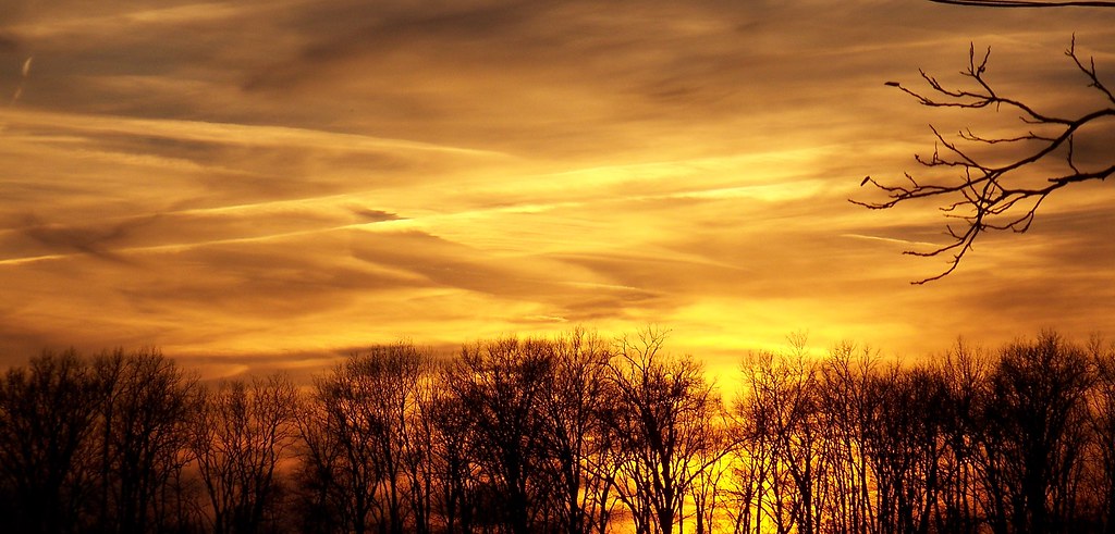
fire in the sky

#Missouri #sunset #roadwarrior #travel
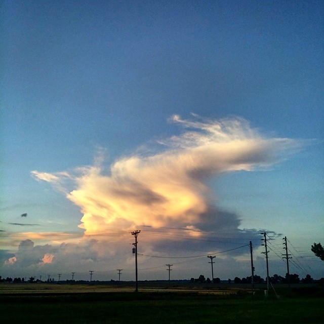
#CloudFormations #mowx #Missouri #skyline
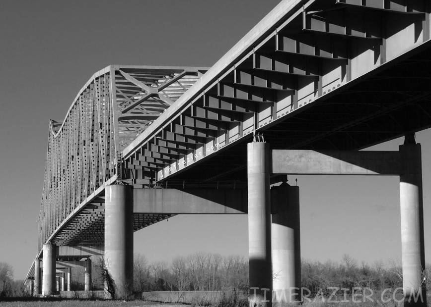
Caruthersville Bridge

Crossing Mississippi River Between Tennessee and Arkansas (Flight Between Charlotte, NC and Las Vegas, NV)
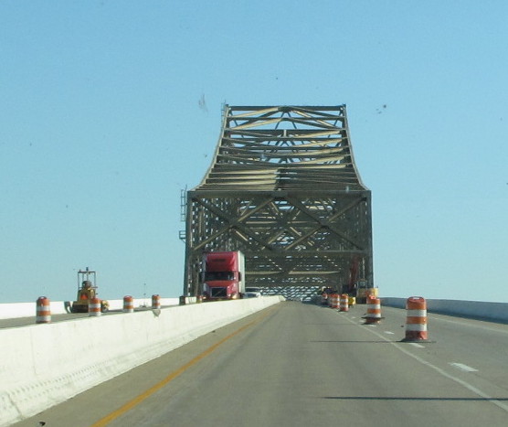
I-155 Bridge, Pemiscot County (Mo.), 20 October 2015
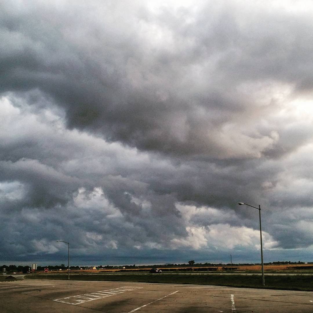
#Missouri last week #CloudFormations #skyview #stormy #cloudy

Photo made by InstaPlace #instaplace #instaplaceapp #android #holland #unitedstates #day #summer #us
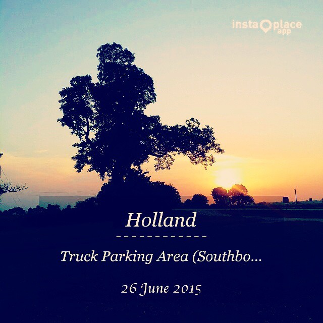
Photo made by InstaPlace #instaplace #instaplaceapp #android #holland #unitedstates #day #summer #us
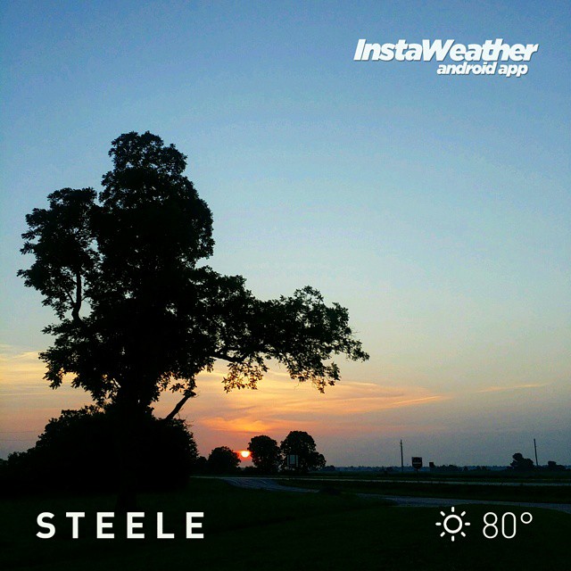
Photo made by Instaweather Free App! @instaweatherpro #instaweather #instaweatherpro #weather #wx #android #steele #mo #day #summer #clear #morning #hot #mo

bootheel of mo 10-12-2014

fall colors down in the bootheal of mo
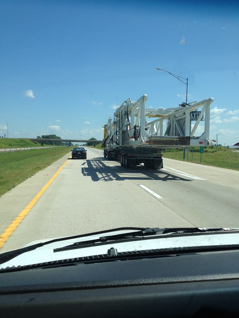
Oversized Load
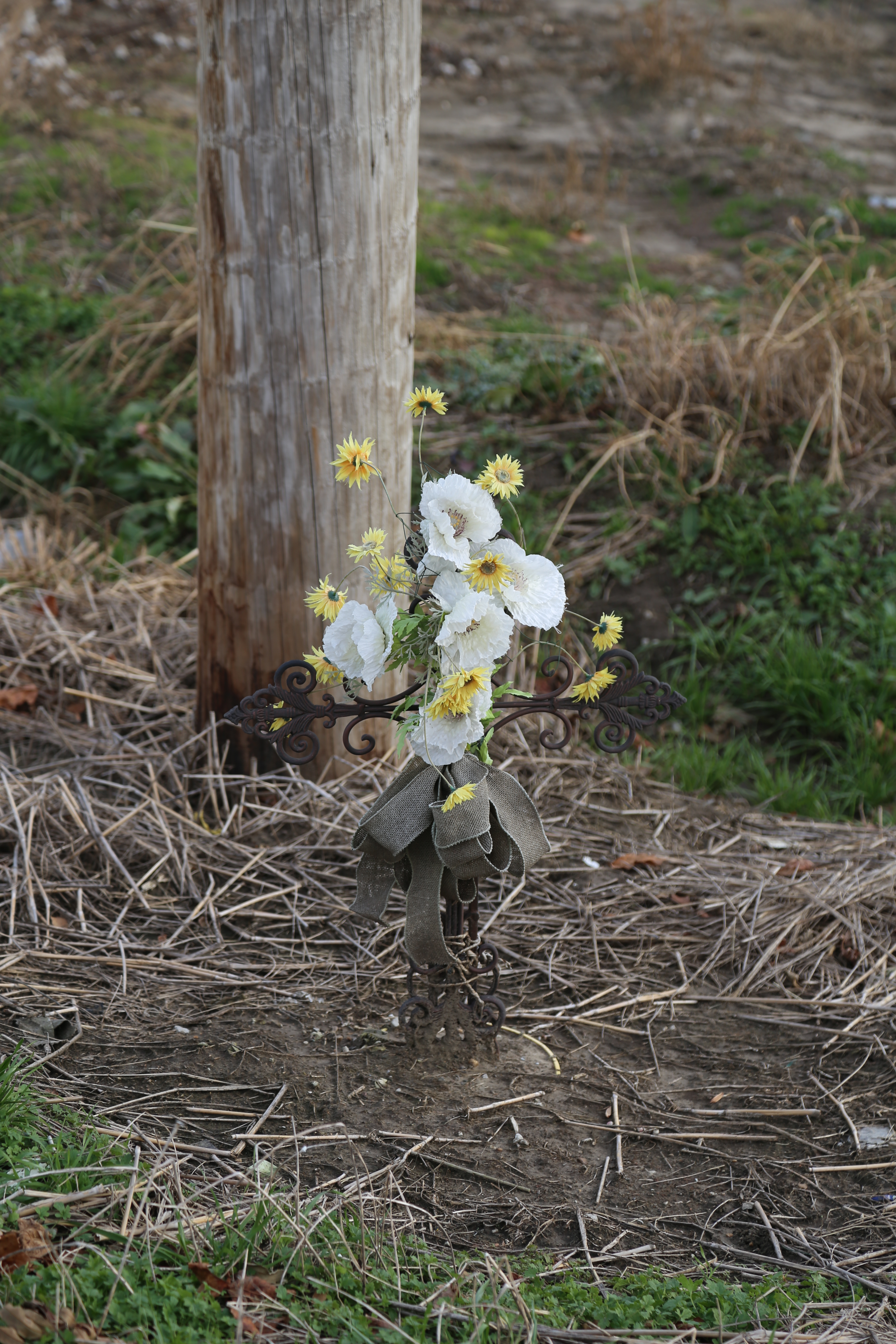
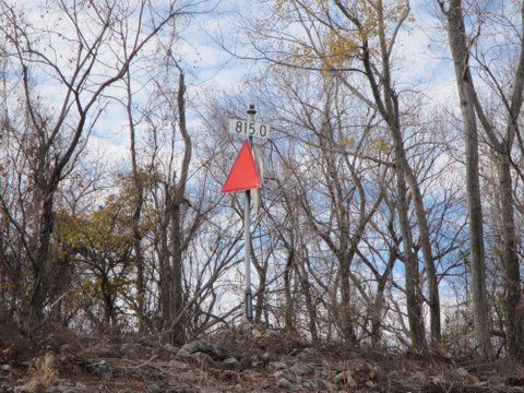
Roadside Memorial, MO Rt 164, Pemiscot County MO
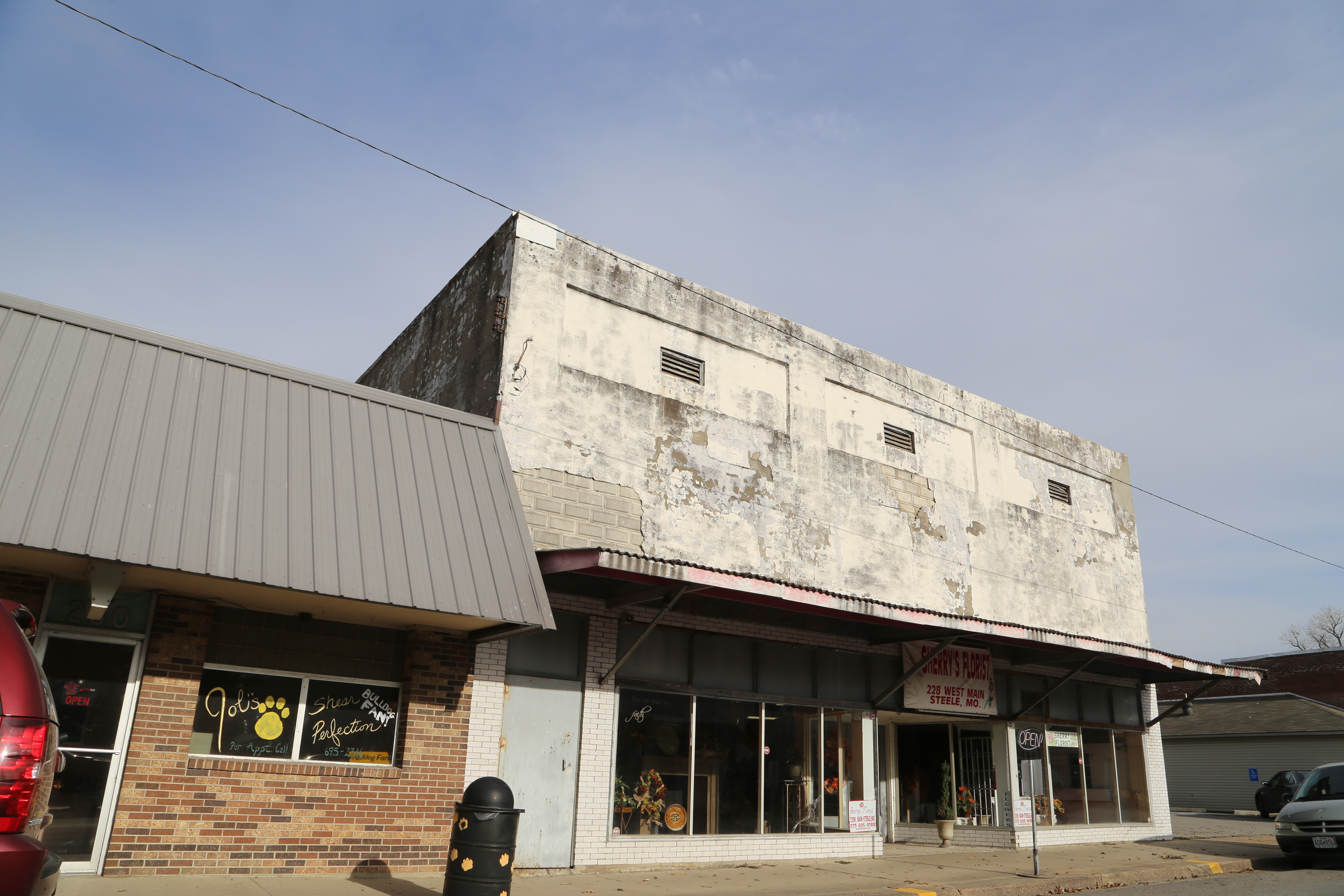
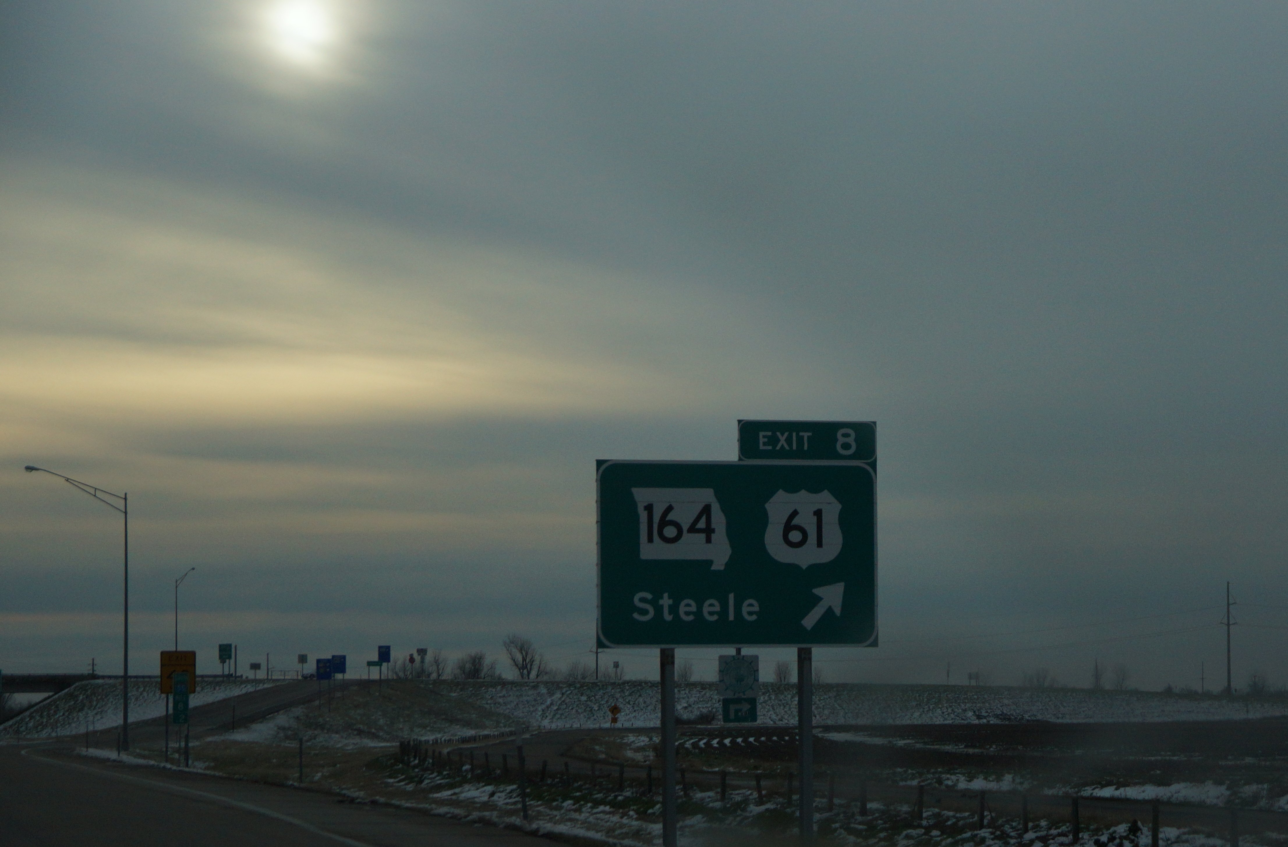
Steele Missouri, Pemiscot County MO
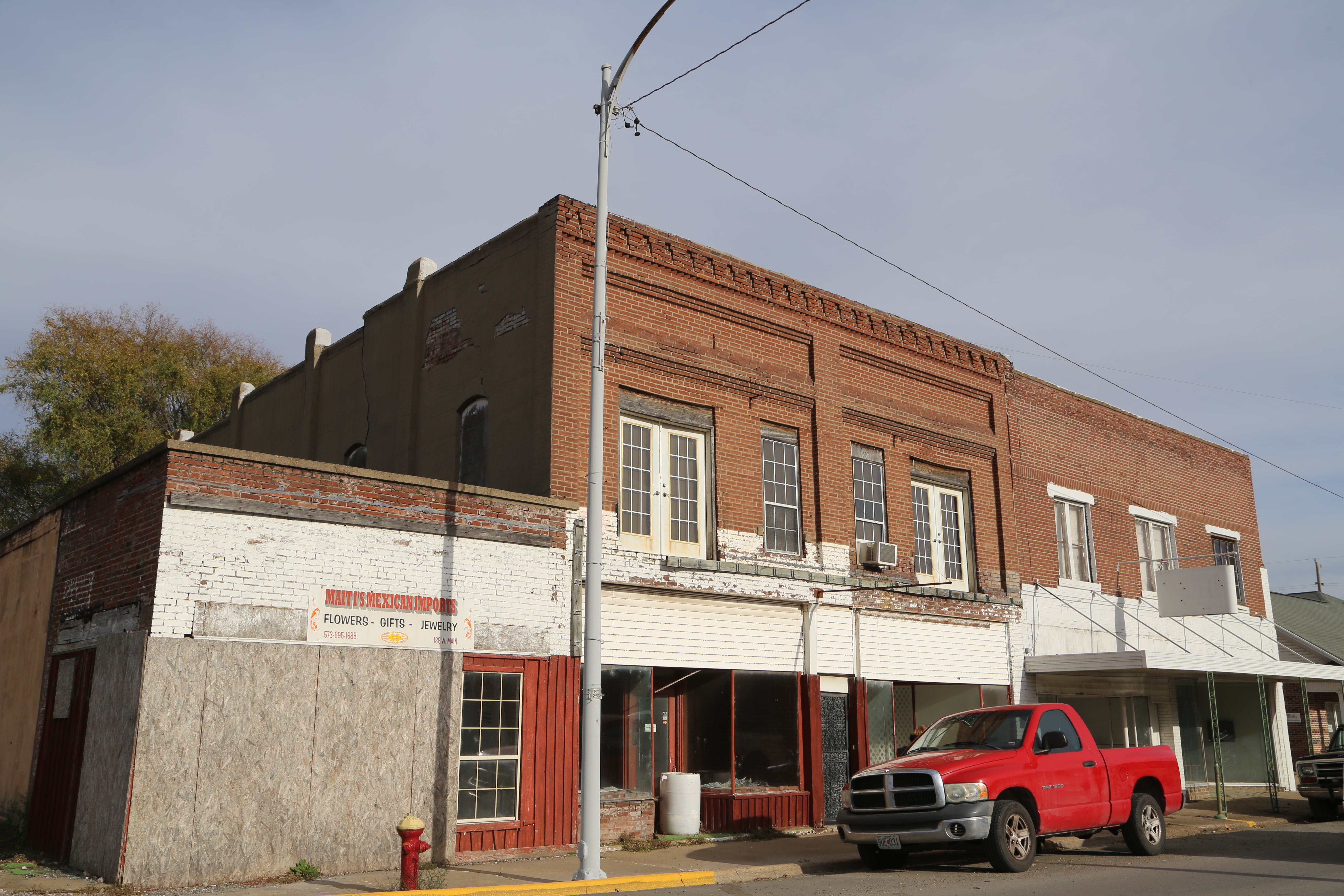
Steele Missouri, Pemiscot County MO
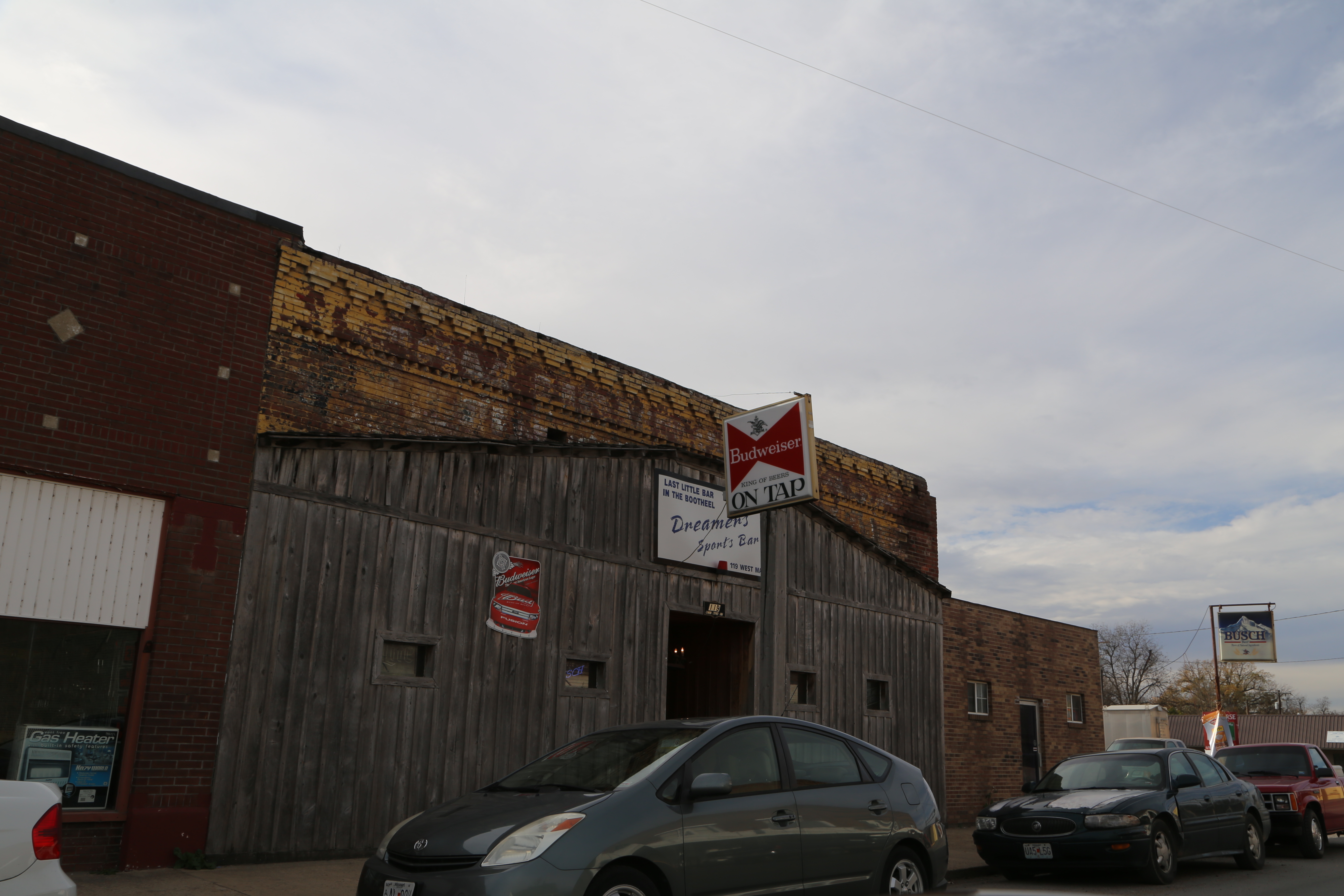
Steele Missouri, Pemiscot County MO
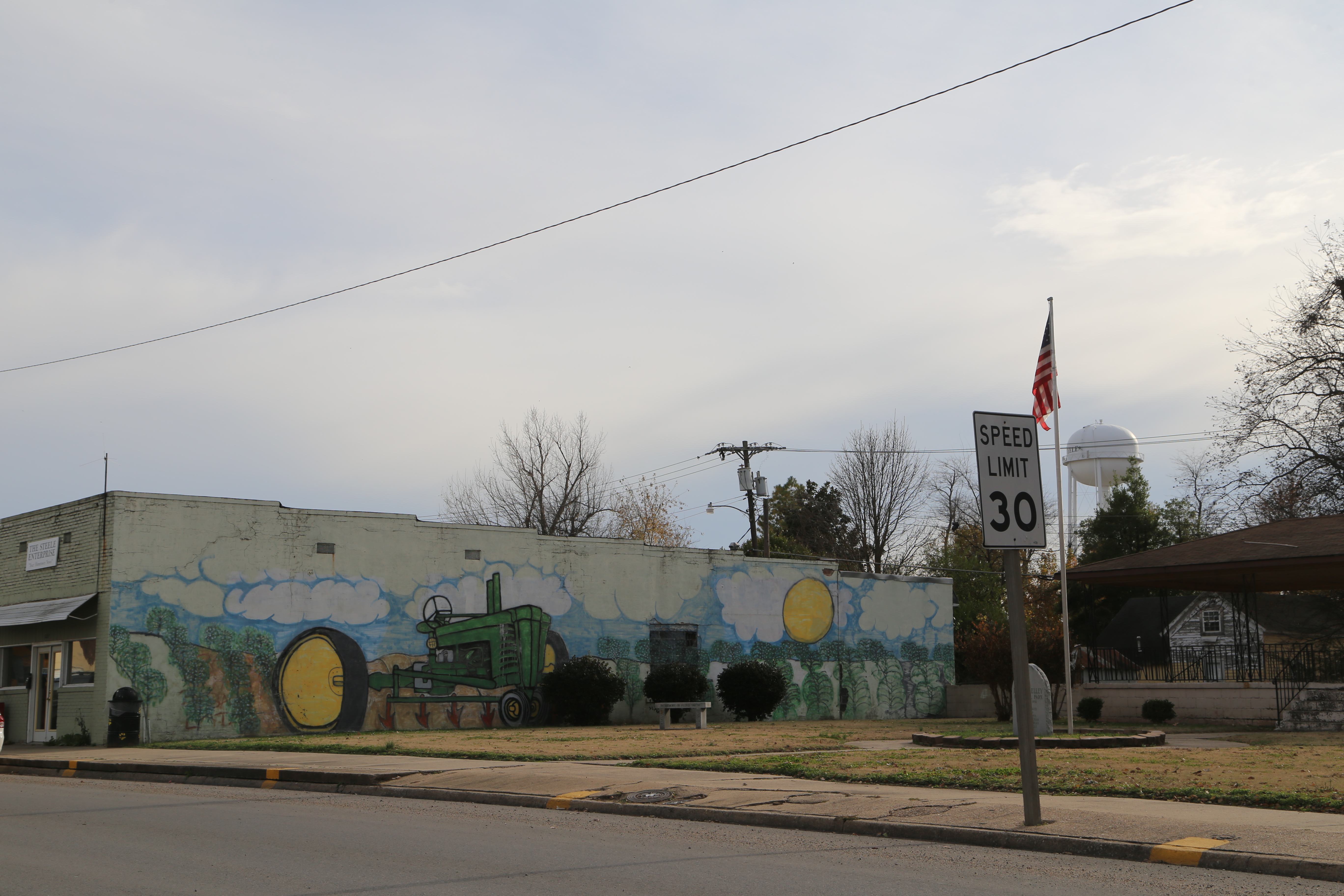
Steele Missouri, Pemiscot County MO
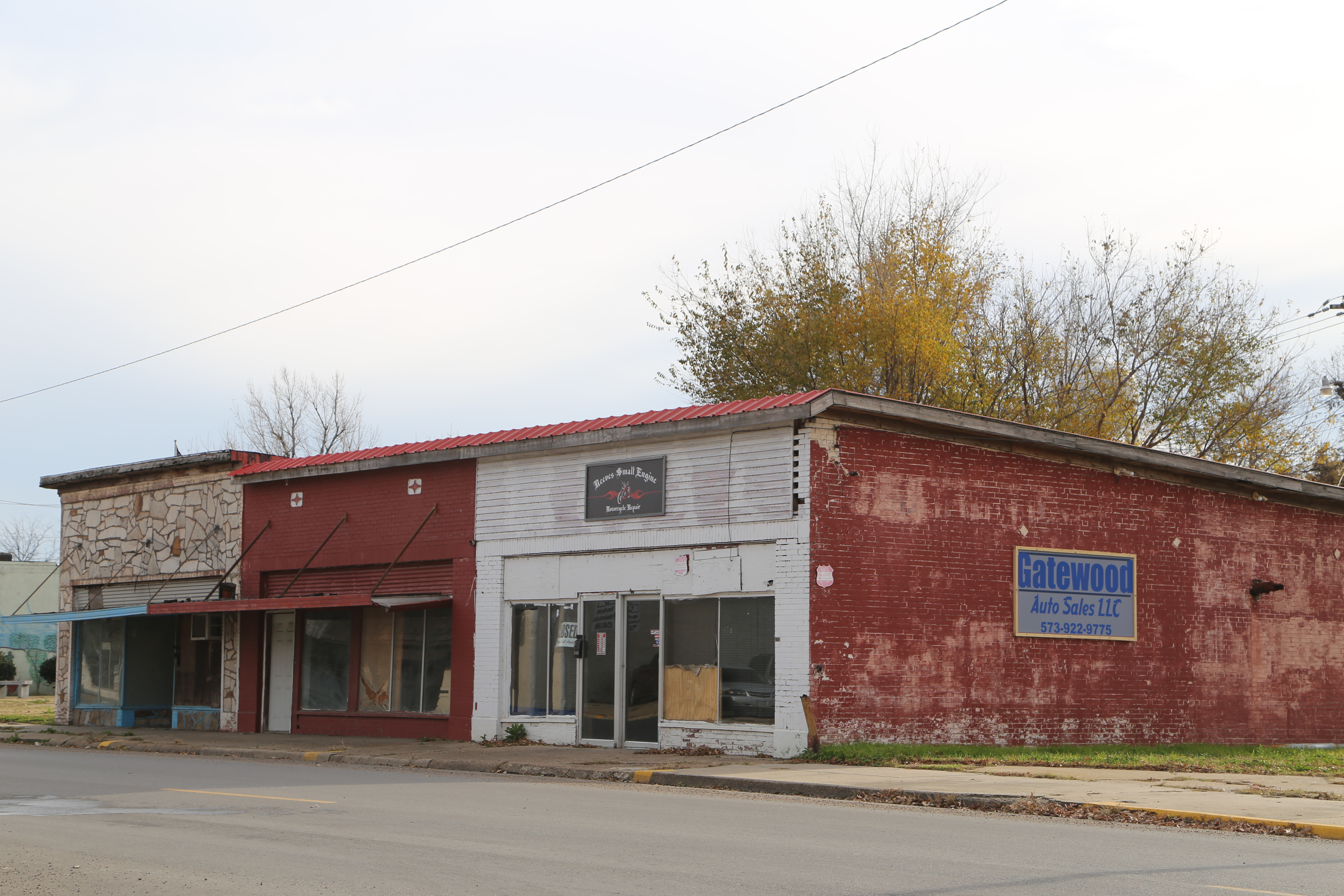
Steele Missouri, Pemiscot County MO
dsc03988-fixed
Angle to Key West
Chic Rd, Finley, TN, USA Karte
Suchen Sie einen anderen Ort
Nahe Plätze
State Hwy Spur, Blytheville, AR, USA
E County Rd, Blytheville, AR, USA
Canadian Township, AR, USA
Little Prairie Township, MO, USA
AR-, Blytheville, AR, USA
Caruthersville, MO, USA
Jeff Webb Rd, Ripley, TN, USA
Finley, TN, USA
Chickasawba Township, AR, USA
Lauderdale County, Tennessee, USA
Upper Finley Rd, Dyersburg, TN, USA
Blytheville, Arkansas, USA
Pemiscot County, Missouri, USA
Miston, TN, USA
Dyersburg, Tennessee, USA
Dyer County, Tennessee, USA
Miston, TN, USA
McCullough Chapel Rd, Dyersburg, TN, USA
U.S Hwy 61, Blytheville, AR, USA
Titan Rd, Ridgely, TN, USA
Letzte Suche
- Jiujiangzhen, Nanhai District, Foshan, Guangdong Province, China Sonnenaufgang Sonnenuntergang Zeiten
- Mountain View, CA, USA Sonnenaufgang Sonnenuntergang Zeiten
- Road to the sky observatory, Shuenhigashi, Shari, Shari District, Hokkaido -, Japan Sonnenaufgang Sonnenuntergang Zeiten
- 海岸咖啡, No. 31號, Chaishan Ave, Gushan District, Kaohsiung City, Taiwan Sonnenaufgang Sonnenuntergang Zeiten
- Estates Loop, Priest River, ID, USA Sonnenaufgang Sonnenuntergang Zeiten
- Woodland Oak Pl, Thousand Oaks, CA, USA Sonnenaufgang Sonnenuntergang Zeiten
- Sarangdanda, Nepal Sonnenaufgang Sonnenuntergang Zeiten
- Nakanoshima, Shiogama, Miyagi -, Japan Sonnenaufgang Sonnenuntergang Zeiten
- Centre de recherche en astronomie, astrophysique et géophysique, bp - 63 Rte de l'Observatoire, Bouz Sonnenaufgang Sonnenuntergang Zeiten
- Crocker Dr, Vacaville, CA, USA Sonnenaufgang Sonnenuntergang Zeiten