Canton Way, Caliente, CA, USA Sonnenaufgang Sonnenuntergang Zeiten
Location: USA > Kalifornien > Kern County > Caliente >
Zeitzone:
America/Los_Angeles
Ortszeit:
2024-05-04 11:43:49
Länge:
-118.387431
Breite:
35.357331
Sonnenaufgang Heute:
05:56:50 AM
Sonnenuntergang Heute:
07:43:31 PM
Tageslänge heute:
13h 46m 41s
Sonnenaufgang morgen:
05:55:52 AM
Sonnenuntergang Morgen:
07:44:20 PM
Tageslänge von morgen:
13h 48m 28s
Alle Termine anzeigen
| Datum | Sonnenaufgang | Sonnenuntergang | Tageslänge |
|---|---|---|---|
| 2024-01-01 | 07:02:29 AM | 04:52:21 PM | 9h 49m 52s |
| 2024-01-02 | 07:02:38 AM | 04:53:08 PM | 9h 50m 30s |
| 2024-01-03 | 07:02:45 AM | 04:53:56 PM | 9h 51m 11s |
| 2024-01-04 | 07:02:49 AM | 04:54:46 PM | 9h 51m 57s |
| 2024-01-05 | 07:02:52 AM | 04:55:36 PM | 9h 52m 44s |
| 2024-01-06 | 07:02:53 AM | 04:56:28 PM | 9h 53m 35s |
| 2024-01-07 | 07:02:52 AM | 04:57:20 PM | 9h 54m 28s |
| 2024-01-08 | 07:02:49 AM | 04:58:13 PM | 9h 55m 24s |
| 2024-01-09 | 07:02:44 AM | 04:59:08 PM | 9h 56m 24s |
| 2024-01-10 | 07:02:37 AM | 05:00:02 PM | 9h 57m 25s |
| 2024-01-11 | 07:02:28 AM | 05:00:58 PM | 9h 58m 30s |
| 2024-01-12 | 07:02:17 AM | 05:01:55 PM | 9h 59m 38s |
| 2024-01-13 | 07:02:05 AM | 05:02:52 PM | 10h 0m 47s |
| 2024-01-14 | 07:01:50 AM | 05:03:50 PM | 10h 2m 0s |
| 2024-01-15 | 07:01:34 AM | 05:04:48 PM | 10h 3m 14s |
| 2024-01-16 | 07:01:15 AM | 05:05:47 PM | 10h 4m 32s |
| 2024-01-17 | 07:00:55 AM | 05:06:46 PM | 10h 5m 51s |
| 2024-01-18 | 07:00:33 AM | 05:07:46 PM | 10h 7m 13s |
| 2024-01-19 | 07:00:09 AM | 05:08:46 PM | 10h 8m 37s |
| 2024-01-20 | 06:59:43 AM | 05:09:46 PM | 10h 10m 3s |
| 2024-01-21 | 06:59:15 AM | 05:10:47 PM | 10h 11m 32s |
| 2024-01-22 | 06:58:46 AM | 05:11:48 PM | 10h 13m 2s |
| 2024-01-23 | 06:58:14 AM | 05:12:49 PM | 10h 14m 35s |
| 2024-01-24 | 06:57:41 AM | 05:13:51 PM | 10h 16m 10s |
| 2024-01-25 | 06:57:07 AM | 05:14:52 PM | 10h 17m 45s |
| 2024-01-26 | 06:56:30 AM | 05:15:54 PM | 10h 19m 24s |
| 2024-01-27 | 06:55:52 AM | 05:16:56 PM | 10h 21m 4s |
| 2024-01-28 | 06:55:12 AM | 05:17:58 PM | 10h 22m 46s |
| 2024-01-29 | 06:54:31 AM | 05:19:00 PM | 10h 24m 29s |
| 2024-01-30 | 06:53:48 AM | 05:20:02 PM | 10h 26m 14s |
| 2024-01-31 | 06:53:03 AM | 05:21:04 PM | 10h 28m 1s |
| 2024-02-01 | 06:52:17 AM | 05:22:05 PM | 10h 29m 48s |
| 2024-02-02 | 06:51:29 AM | 05:23:07 PM | 10h 31m 38s |
| 2024-02-03 | 06:50:39 AM | 05:24:09 PM | 10h 33m 30s |
| 2024-02-04 | 06:49:49 AM | 05:25:10 PM | 10h 35m 21s |
| 2024-02-05 | 06:48:56 AM | 05:26:11 PM | 10h 37m 15s |
| 2024-02-06 | 06:48:03 AM | 05:27:12 PM | 10h 39m 9s |
| 2024-02-07 | 06:47:08 AM | 05:28:13 PM | 10h 41m 5s |
| 2024-02-08 | 06:46:11 AM | 05:29:14 PM | 10h 43m 3s |
| 2024-02-09 | 06:45:14 AM | 05:30:14 PM | 10h 45m 0s |
| 2024-02-10 | 06:44:15 AM | 05:31:14 PM | 10h 46m 59s |
| 2024-02-11 | 06:43:14 AM | 05:32:14 PM | 10h 49m 0s |
| 2024-02-12 | 06:42:13 AM | 05:33:14 PM | 10h 51m 1s |
| 2024-02-13 | 06:41:10 AM | 05:34:13 PM | 10h 53m 3s |
| 2024-02-14 | 06:40:06 AM | 05:35:12 PM | 10h 55m 6s |
| 2024-02-15 | 06:39:01 AM | 05:36:11 PM | 10h 57m 10s |
| 2024-02-16 | 06:37:55 AM | 05:37:09 PM | 10h 59m 14s |
| 2024-02-17 | 06:36:48 AM | 05:38:07 PM | 11h 1m 19s |
| 2024-02-18 | 06:35:39 AM | 05:39:05 PM | 11h 3m 26s |
| 2024-02-19 | 06:34:30 AM | 05:40:03 PM | 11h 5m 33s |
| 2024-02-20 | 06:33:20 AM | 05:41:00 PM | 11h 7m 40s |
| 2024-02-21 | 06:32:08 AM | 05:41:56 PM | 11h 9m 48s |
| 2024-02-22 | 06:30:56 AM | 05:42:53 PM | 11h 11m 57s |
| 2024-02-23 | 06:29:43 AM | 05:43:49 PM | 11h 14m 6s |
| 2024-02-24 | 06:28:29 AM | 05:44:45 PM | 11h 16m 16s |
| 2024-02-25 | 06:27:15 AM | 05:45:40 PM | 11h 18m 25s |
| 2024-02-26 | 06:25:59 AM | 05:46:35 PM | 11h 20m 36s |
| 2024-02-27 | 06:24:43 AM | 05:47:30 PM | 11h 22m 47s |
| 2024-02-28 | 06:23:26 AM | 05:48:24 PM | 11h 24m 58s |
| 2024-02-29 | 06:22:08 AM | 05:49:18 PM | 11h 27m 10s |
| 2024-03-01 | 06:20:50 AM | 05:50:12 PM | 11h 29m 22s |
| 2024-03-02 | 06:19:31 AM | 05:51:06 PM | 11h 31m 35s |
| 2024-03-03 | 06:18:11 AM | 05:51:59 PM | 11h 33m 48s |
| 2024-03-04 | 06:16:51 AM | 05:52:52 PM | 11h 36m 1s |
| 2024-03-05 | 06:15:31 AM | 05:53:44 PM | 11h 38m 13s |
| 2024-03-06 | 06:14:09 AM | 05:54:37 PM | 11h 40m 28s |
| 2024-03-07 | 06:12:48 AM | 05:55:29 PM | 11h 42m 41s |
| 2024-03-08 | 06:11:26 AM | 05:56:20 PM | 11h 44m 54s |
| 2024-03-09 | 06:10:03 AM | 05:57:12 PM | 11h 47m 9s |
| 2024-03-10 | 07:08:44 AM | 06:58:01 PM | 11h 49m 17s |
| 2024-03-11 | 07:07:20 AM | 06:58:52 PM | 11h 51m 32s |
| 2024-03-12 | 07:05:57 AM | 06:59:43 PM | 11h 53m 46s |
| 2024-03-13 | 07:04:33 AM | 07:00:33 PM | 11h 56m 0s |
| 2024-03-14 | 07:03:09 AM | 07:01:24 PM | 11h 58m 15s |
| 2024-03-15 | 07:01:44 AM | 07:02:14 PM | 12h 0m 30s |
| 2024-03-16 | 07:00:20 AM | 07:03:04 PM | 12h 2m 44s |
| 2024-03-17 | 06:58:55 AM | 07:03:54 PM | 12h 4m 59s |
| 2024-03-18 | 06:57:30 AM | 07:04:44 PM | 12h 7m 14s |
| 2024-03-19 | 06:56:05 AM | 07:05:33 PM | 12h 9m 28s |
| 2024-03-20 | 06:54:40 AM | 07:06:23 PM | 12h 11m 43s |
| 2024-03-21 | 06:53:15 AM | 07:07:12 PM | 12h 13m 57s |
| 2024-03-22 | 06:51:50 AM | 07:08:01 PM | 12h 16m 11s |
| 2024-03-23 | 06:50:24 AM | 07:08:50 PM | 12h 18m 26s |
| 2024-03-24 | 06:48:59 AM | 07:09:39 PM | 12h 20m 40s |
| 2024-03-25 | 06:47:34 AM | 07:10:28 PM | 12h 22m 54s |
| 2024-03-26 | 06:46:09 AM | 07:11:17 PM | 12h 25m 8s |
| 2024-03-27 | 06:44:44 AM | 07:12:06 PM | 12h 27m 22s |
| 2024-03-28 | 06:43:19 AM | 07:12:54 PM | 12h 29m 35s |
| 2024-03-29 | 06:41:55 AM | 07:13:43 PM | 12h 31m 48s |
| 2024-03-30 | 06:40:30 AM | 07:14:32 PM | 12h 34m 2s |
| 2024-03-31 | 06:39:06 AM | 07:15:20 PM | 12h 36m 14s |
| 2024-04-01 | 06:37:42 AM | 07:16:09 PM | 12h 38m 27s |
| 2024-04-02 | 06:36:19 AM | 07:16:57 PM | 12h 40m 38s |
| 2024-04-03 | 06:34:55 AM | 07:17:46 PM | 12h 42m 51s |
| 2024-04-04 | 06:33:33 AM | 07:18:35 PM | 12h 45m 2s |
| 2024-04-05 | 06:32:10 AM | 07:19:23 PM | 12h 47m 13s |
| 2024-04-06 | 06:30:48 AM | 07:20:12 PM | 12h 49m 24s |
| 2024-04-07 | 06:29:26 AM | 07:21:01 PM | 12h 51m 35s |
| 2024-04-08 | 06:28:05 AM | 07:21:49 PM | 12h 53m 44s |
| 2024-04-09 | 06:26:44 AM | 07:22:38 PM | 12h 55m 54s |
| 2024-04-10 | 06:25:24 AM | 07:23:27 PM | 12h 58m 3s |
| 2024-04-11 | 06:24:04 AM | 07:24:16 PM | 13h 0m 12s |
| 2024-04-12 | 06:22:45 AM | 07:25:05 PM | 13h 2m 20s |
| 2024-04-13 | 06:21:27 AM | 07:25:54 PM | 13h 4m 27s |
| 2024-04-14 | 06:20:09 AM | 07:26:43 PM | 13h 6m 34s |
| 2024-04-15 | 06:18:52 AM | 07:27:32 PM | 13h 8m 40s |
| 2024-04-16 | 06:17:35 AM | 07:28:21 PM | 13h 10m 46s |
| 2024-04-17 | 06:16:20 AM | 07:29:10 PM | 13h 12m 50s |
| 2024-04-18 | 06:15:05 AM | 07:30:00 PM | 13h 14m 55s |
| 2024-04-19 | 06:13:51 AM | 07:30:49 PM | 13h 16m 58s |
| 2024-04-20 | 06:12:37 AM | 07:31:38 PM | 13h 19m 1s |
| 2024-04-21 | 06:11:25 AM | 07:32:28 PM | 13h 21m 3s |
| 2024-04-22 | 06:10:13 AM | 07:33:17 PM | 13h 23m 4s |
| 2024-04-23 | 06:09:02 AM | 07:34:07 PM | 13h 25m 5s |
| 2024-04-24 | 06:07:52 AM | 07:34:57 PM | 13h 27m 5s |
| 2024-04-25 | 06:06:44 AM | 07:35:46 PM | 13h 29m 2s |
| 2024-04-26 | 06:05:36 AM | 07:36:36 PM | 13h 31m 0s |
| 2024-04-27 | 06:04:29 AM | 07:37:25 PM | 13h 32m 56s |
| 2024-04-28 | 06:03:23 AM | 07:38:15 PM | 13h 34m 52s |
| 2024-04-29 | 06:02:18 AM | 07:39:05 PM | 13h 36m 47s |
| 2024-04-30 | 06:01:15 AM | 07:39:54 PM | 13h 38m 39s |
| 2024-05-01 | 06:00:12 AM | 07:40:44 PM | 13h 40m 32s |
| 2024-05-02 | 05:59:11 AM | 07:41:33 PM | 13h 42m 22s |
| 2024-05-03 | 05:58:10 AM | 07:42:23 PM | 13h 44m 13s |
| 2024-05-04 | 05:57:11 AM | 07:43:12 PM | 13h 46m 1s |
| 2024-05-05 | 05:56:14 AM | 07:44:02 PM | 13h 47m 48s |
| 2024-05-06 | 05:55:17 AM | 07:44:51 PM | 13h 49m 34s |
| 2024-05-07 | 05:54:22 AM | 07:45:40 PM | 13h 51m 18s |
| 2024-05-08 | 05:53:28 AM | 07:46:29 PM | 13h 53m 1s |
| 2024-05-09 | 05:52:35 AM | 07:47:17 PM | 13h 54m 42s |
| 2024-05-10 | 05:51:44 AM | 07:48:06 PM | 13h 56m 22s |
| 2024-05-11 | 05:50:54 AM | 07:48:54 PM | 13h 58m 0s |
| 2024-05-12 | 05:50:06 AM | 07:49:42 PM | 13h 59m 36s |
| 2024-05-13 | 05:49:18 AM | 07:50:30 PM | 14h 1m 12s |
| 2024-05-14 | 05:48:33 AM | 07:51:17 PM | 14h 2m 44s |
| 2024-05-15 | 05:47:49 AM | 07:52:04 PM | 14h 4m 15s |
| 2024-05-16 | 05:47:06 AM | 07:52:51 PM | 14h 5m 45s |
| 2024-05-17 | 05:46:25 AM | 07:53:37 PM | 14h 7m 12s |
| 2024-05-18 | 05:45:45 AM | 07:54:23 PM | 14h 8m 38s |
| 2024-05-19 | 05:45:07 AM | 07:55:08 PM | 14h 10m 1s |
| 2024-05-20 | 05:44:30 AM | 07:55:53 PM | 14h 11m 23s |
| 2024-05-21 | 05:43:55 AM | 07:56:38 PM | 14h 12m 43s |
| 2024-05-22 | 05:43:22 AM | 07:57:22 PM | 14h 14m 0s |
| 2024-05-23 | 05:42:50 AM | 07:58:05 PM | 14h 15m 15s |
| 2024-05-24 | 05:42:20 AM | 07:58:47 PM | 14h 16m 27s |
| 2024-05-25 | 05:41:51 AM | 07:59:29 PM | 14h 17m 38s |
| 2024-05-26 | 05:41:24 AM | 08:00:11 PM | 14h 18m 47s |
| 2024-05-27 | 05:40:59 AM | 08:00:51 PM | 14h 19m 52s |
| 2024-05-28 | 05:40:35 AM | 08:01:31 PM | 14h 20m 56s |
| 2024-05-29 | 05:40:13 AM | 08:02:10 PM | 14h 21m 57s |
| 2024-05-30 | 05:39:53 AM | 08:02:48 PM | 14h 22m 55s |
| 2024-05-31 | 05:39:34 AM | 08:03:26 PM | 14h 23m 52s |
| 2024-06-01 | 05:39:17 AM | 08:04:02 PM | 14h 24m 45s |
| 2024-06-02 | 05:39:02 AM | 08:04:38 PM | 14h 25m 36s |
| 2024-06-03 | 05:38:48 AM | 08:05:12 PM | 14h 26m 24s |
| 2024-06-04 | 05:38:36 AM | 08:05:45 PM | 14h 27m 9s |
| 2024-06-05 | 05:38:26 AM | 08:06:18 PM | 14h 27m 52s |
| 2024-06-06 | 05:38:17 AM | 08:06:49 PM | 14h 28m 32s |
| 2024-06-07 | 05:38:10 AM | 08:07:19 PM | 14h 29m 9s |
| 2024-06-08 | 05:38:05 AM | 08:07:48 PM | 14h 29m 43s |
| 2024-06-09 | 05:38:01 AM | 08:08:16 PM | 14h 30m 15s |
| 2024-06-10 | 05:37:59 AM | 08:08:43 PM | 14h 30m 44s |
| 2024-06-11 | 05:37:58 AM | 08:09:08 PM | 14h 31m 10s |
| 2024-06-12 | 05:38:00 AM | 08:09:32 PM | 14h 31m 32s |
| 2024-06-13 | 05:38:02 AM | 08:09:55 PM | 14h 31m 53s |
| 2024-06-14 | 05:38:07 AM | 08:10:16 PM | 14h 32m 9s |
| 2024-06-15 | 05:38:13 AM | 08:10:36 PM | 14h 32m 23s |
| 2024-06-16 | 05:38:20 AM | 08:10:55 PM | 14h 32m 35s |
| 2024-06-17 | 05:38:29 AM | 08:11:12 PM | 14h 32m 43s |
| 2024-06-18 | 05:38:40 AM | 08:11:28 PM | 14h 32m 48s |
| 2024-06-19 | 05:38:52 AM | 08:11:42 PM | 14h 32m 50s |
| 2024-06-20 | 05:39:05 AM | 08:11:55 PM | 14h 32m 50s |
| 2024-06-21 | 05:39:20 AM | 08:12:06 PM | 14h 32m 46s |
| 2024-06-22 | 05:39:36 AM | 08:12:15 PM | 14h 32m 39s |
| 2024-06-23 | 05:39:54 AM | 08:12:23 PM | 14h 32m 29s |
| 2024-06-24 | 05:40:13 AM | 08:12:30 PM | 14h 32m 17s |
| 2024-06-25 | 05:40:33 AM | 08:12:34 PM | 14h 32m 1s |
| 2024-06-26 | 05:40:55 AM | 08:12:38 PM | 14h 31m 43s |
| 2024-06-27 | 05:41:18 AM | 08:12:39 PM | 14h 31m 21s |
| 2024-06-28 | 05:41:42 AM | 08:12:39 PM | 14h 30m 57s |
| 2024-06-29 | 05:42:07 AM | 08:12:37 PM | 14h 30m 30s |
| 2024-06-30 | 05:42:34 AM | 08:12:33 PM | 14h 29m 59s |
| 2024-07-01 | 05:43:02 AM | 08:12:28 PM | 14h 29m 26s |
| 2024-07-02 | 05:43:30 AM | 08:12:21 PM | 14h 28m 51s |
| 2024-07-03 | 05:44:00 AM | 08:12:13 PM | 14h 28m 13s |
| 2024-07-04 | 05:44:31 AM | 08:12:02 PM | 14h 27m 31s |
| 2024-07-05 | 05:45:03 AM | 08:11:50 PM | 14h 26m 47s |
| 2024-07-06 | 05:45:36 AM | 08:11:37 PM | 14h 26m 1s |
| 2024-07-07 | 05:46:10 AM | 08:11:21 PM | 14h 25m 11s |
| 2024-07-08 | 05:46:44 AM | 08:11:04 PM | 14h 24m 20s |
| 2024-07-09 | 05:47:20 AM | 08:10:45 PM | 14h 23m 25s |
| 2024-07-10 | 05:47:56 AM | 08:10:24 PM | 14h 22m 28s |
| 2024-07-11 | 05:48:33 AM | 08:10:02 PM | 14h 21m 29s |
| 2024-07-12 | 05:49:11 AM | 08:09:38 PM | 14h 20m 27s |
| 2024-07-13 | 05:49:50 AM | 08:09:12 PM | 14h 19m 22s |
| 2024-07-14 | 05:50:29 AM | 08:08:45 PM | 14h 18m 16s |
| 2024-07-15 | 05:51:09 AM | 08:08:16 PM | 14h 17m 7s |
| 2024-07-16 | 05:51:49 AM | 08:07:45 PM | 14h 15m 56s |
| 2024-07-17 | 05:52:30 AM | 08:07:13 PM | 14h 14m 43s |
| 2024-07-18 | 05:53:12 AM | 08:06:39 PM | 14h 13m 27s |
| 2024-07-19 | 05:53:54 AM | 08:06:03 PM | 14h 12m 9s |
| 2024-07-20 | 05:54:36 AM | 08:05:26 PM | 14h 10m 50s |
| 2024-07-21 | 05:55:19 AM | 08:04:48 PM | 14h 9m 29s |
| 2024-07-22 | 05:56:03 AM | 08:04:07 PM | 14h 8m 4s |
| 2024-07-23 | 05:56:46 AM | 08:03:25 PM | 14h 6m 39s |
| 2024-07-24 | 05:57:30 AM | 08:02:42 PM | 14h 5m 12s |
| 2024-07-25 | 05:58:15 AM | 08:01:57 PM | 14h 3m 42s |
| 2024-07-26 | 05:58:59 AM | 08:01:11 PM | 14h 2m 12s |
| 2024-07-27 | 05:59:44 AM | 08:00:23 PM | 14h 0m 39s |
| 2024-07-28 | 06:00:30 AM | 07:59:33 PM | 13h 59m 3s |
| 2024-07-29 | 06:01:15 AM | 07:58:43 PM | 13h 57m 28s |
| 2024-07-30 | 06:02:00 AM | 07:57:51 PM | 13h 55m 51s |
| 2024-07-31 | 06:02:46 AM | 07:56:57 PM | 13h 54m 11s |
| 2024-08-01 | 06:03:32 AM | 07:56:02 PM | 13h 52m 30s |
| 2024-08-02 | 06:04:18 AM | 07:55:06 PM | 13h 50m 48s |
| 2024-08-03 | 06:05:04 AM | 07:54:08 PM | 13h 49m 4s |
| 2024-08-04 | 06:05:50 AM | 07:53:10 PM | 13h 47m 20s |
| 2024-08-05 | 06:06:36 AM | 07:52:10 PM | 13h 45m 34s |
| 2024-08-06 | 06:07:23 AM | 07:51:08 PM | 13h 43m 45s |
| 2024-08-07 | 06:08:09 AM | 07:50:06 PM | 13h 41m 57s |
| 2024-08-08 | 06:08:55 AM | 07:49:02 PM | 13h 40m 7s |
| 2024-08-09 | 06:09:42 AM | 07:47:57 PM | 13h 38m 15s |
| 2024-08-10 | 06:10:28 AM | 07:46:52 PM | 13h 36m 24s |
| 2024-08-11 | 06:11:14 AM | 07:45:45 PM | 13h 34m 31s |
| 2024-08-12 | 06:12:00 AM | 07:44:36 PM | 13h 32m 36s |
| 2024-08-13 | 06:12:47 AM | 07:43:27 PM | 13h 30m 40s |
| 2024-08-14 | 06:13:33 AM | 07:42:17 PM | 13h 28m 44s |
| 2024-08-15 | 06:14:19 AM | 07:41:06 PM | 13h 26m 47s |
| 2024-08-16 | 06:15:05 AM | 07:39:54 PM | 13h 24m 49s |
| 2024-08-17 | 06:15:51 AM | 07:38:41 PM | 13h 22m 50s |
| 2024-08-18 | 06:16:36 AM | 07:37:27 PM | 13h 20m 51s |
| 2024-08-19 | 06:17:22 AM | 07:36:13 PM | 13h 18m 51s |
| 2024-08-20 | 06:18:08 AM | 07:34:57 PM | 13h 16m 49s |
| 2024-08-21 | 06:18:53 AM | 07:33:41 PM | 13h 14m 48s |
| 2024-08-22 | 06:19:39 AM | 07:32:23 PM | 13h 12m 44s |
| 2024-08-23 | 06:20:24 AM | 07:31:05 PM | 13h 10m 41s |
| 2024-08-24 | 06:21:09 AM | 07:29:47 PM | 13h 8m 38s |
| 2024-08-25 | 06:21:55 AM | 07:28:27 PM | 13h 6m 32s |
| 2024-08-26 | 06:22:40 AM | 07:27:07 PM | 13h 4m 27s |
| 2024-08-27 | 06:23:25 AM | 07:25:47 PM | 13h 2m 22s |
| 2024-08-28 | 06:24:10 AM | 07:24:25 PM | 13h 0m 15s |
| 2024-08-29 | 06:24:54 AM | 07:23:04 PM | 12h 58m 10s |
| 2024-08-30 | 06:25:39 AM | 07:21:41 PM | 12h 56m 2s |
| 2024-08-31 | 06:26:24 AM | 07:20:18 PM | 12h 53m 54s |
| 2024-09-01 | 06:27:08 AM | 07:18:55 PM | 12h 51m 47s |
| 2024-09-02 | 06:27:53 AM | 07:17:31 PM | 12h 49m 38s |
| 2024-09-03 | 06:28:37 AM | 07:16:07 PM | 12h 47m 30s |
| 2024-09-04 | 06:29:22 AM | 07:14:42 PM | 12h 45m 20s |
| 2024-09-05 | 06:30:06 AM | 07:13:17 PM | 12h 43m 11s |
| 2024-09-06 | 06:30:51 AM | 07:11:51 PM | 12h 41m 0s |
| 2024-09-07 | 06:31:35 AM | 07:10:25 PM | 12h 38m 50s |
| 2024-09-08 | 06:32:19 AM | 07:08:59 PM | 12h 36m 40s |
| 2024-09-09 | 06:33:04 AM | 07:07:33 PM | 12h 34m 29s |
| 2024-09-10 | 06:33:48 AM | 07:06:06 PM | 12h 32m 18s |
| 2024-09-11 | 06:34:32 AM | 07:04:39 PM | 12h 30m 7s |
| 2024-09-12 | 06:35:17 AM | 07:03:12 PM | 12h 27m 55s |
| 2024-09-13 | 06:36:01 AM | 07:01:45 PM | 12h 25m 44s |
| 2024-09-14 | 06:36:46 AM | 07:00:18 PM | 12h 23m 32s |
| 2024-09-15 | 06:37:30 AM | 06:58:50 PM | 12h 21m 20s |
| 2024-09-16 | 06:38:15 AM | 06:57:23 PM | 12h 19m 8s |
| 2024-09-17 | 06:38:59 AM | 06:55:55 PM | 12h 16m 56s |
| 2024-09-18 | 06:39:44 AM | 06:54:28 PM | 12h 14m 44s |
| 2024-09-19 | 06:40:29 AM | 06:53:00 PM | 12h 12m 31s |
| 2024-09-20 | 06:41:14 AM | 06:51:33 PM | 12h 10m 19s |
| 2024-09-21 | 06:41:59 AM | 06:50:05 PM | 12h 8m 6s |
| 2024-09-22 | 06:42:44 AM | 06:48:38 PM | 12h 5m 54s |
| 2024-09-23 | 06:43:30 AM | 06:47:11 PM | 12h 3m 41s |
| 2024-09-24 | 06:44:15 AM | 06:45:44 PM | 12h 1m 29s |
| 2024-09-25 | 06:45:01 AM | 06:44:17 PM | 11h 59m 16s |
| 2024-09-26 | 06:45:47 AM | 06:42:51 PM | 11h 57m 4s |
| 2024-09-27 | 06:46:33 AM | 06:41:24 PM | 11h 54m 51s |
| 2024-09-28 | 06:47:19 AM | 06:39:58 PM | 11h 52m 39s |
| 2024-09-29 | 06:48:06 AM | 06:38:32 PM | 11h 50m 26s |
| 2024-09-30 | 06:48:53 AM | 06:37:07 PM | 11h 48m 14s |
| 2024-10-01 | 06:49:40 AM | 06:35:42 PM | 11h 46m 2s |
| 2024-10-02 | 06:50:27 AM | 06:34:17 PM | 11h 43m 50s |
| 2024-10-03 | 06:51:15 AM | 06:32:53 PM | 11h 41m 38s |
| 2024-10-04 | 06:52:03 AM | 06:31:29 PM | 11h 39m 26s |
| 2024-10-05 | 06:52:51 AM | 06:30:06 PM | 11h 37m 15s |
| 2024-10-06 | 06:53:39 AM | 06:28:43 PM | 11h 35m 4s |
| 2024-10-07 | 06:54:28 AM | 06:27:21 PM | 11h 32m 53s |
| 2024-10-08 | 06:55:17 AM | 06:25:59 PM | 11h 30m 42s |
| 2024-10-09 | 06:56:06 AM | 06:24:38 PM | 11h 28m 32s |
| 2024-10-10 | 06:56:56 AM | 06:23:18 PM | 11h 26m 22s |
| 2024-10-11 | 06:57:46 AM | 06:21:58 PM | 11h 24m 12s |
| 2024-10-12 | 06:58:36 AM | 06:20:39 PM | 11h 22m 3s |
| 2024-10-13 | 06:59:27 AM | 06:19:21 PM | 11h 19m 54s |
| 2024-10-14 | 07:00:18 AM | 06:18:04 PM | 11h 17m 46s |
| 2024-10-15 | 07:01:09 AM | 06:16:47 PM | 11h 15m 38s |
| 2024-10-16 | 07:02:01 AM | 06:15:31 PM | 11h 13m 30s |
| 2024-10-17 | 07:02:53 AM | 06:14:16 PM | 11h 11m 23s |
| 2024-10-18 | 07:03:46 AM | 06:13:02 PM | 11h 9m 16s |
| 2024-10-19 | 07:04:39 AM | 06:11:48 PM | 11h 7m 9s |
| 2024-10-20 | 07:05:32 AM | 06:10:36 PM | 11h 5m 4s |
| 2024-10-21 | 07:06:26 AM | 06:09:25 PM | 11h 2m 59s |
| 2024-10-22 | 07:07:19 AM | 06:08:15 PM | 11h 0m 56s |
| 2024-10-23 | 07:08:14 AM | 06:07:05 PM | 10h 58m 51s |
| 2024-10-24 | 07:09:08 AM | 06:05:57 PM | 10h 56m 49s |
| 2024-10-25 | 07:10:03 AM | 06:04:50 PM | 10h 54m 47s |
| 2024-10-26 | 07:10:59 AM | 06:03:44 PM | 10h 52m 45s |
| 2024-10-27 | 07:11:54 AM | 06:02:39 PM | 10h 50m 45s |
| 2024-10-28 | 07:12:50 AM | 06:01:36 PM | 10h 48m 46s |
| 2024-10-29 | 07:13:47 AM | 06:00:34 PM | 10h 46m 47s |
| 2024-10-30 | 07:14:43 AM | 05:59:33 PM | 10h 44m 50s |
| 2024-10-31 | 07:15:40 AM | 05:58:33 PM | 10h 42m 53s |
| 2024-11-01 | 07:16:38 AM | 05:57:34 PM | 10h 40m 56s |
| 2024-11-02 | 07:17:35 AM | 05:56:37 PM | 10h 39m 2s |
| 2024-11-03 | 06:18:35 AM | 04:55:39 PM | 10h 37m 4s |
| 2024-11-04 | 06:19:33 AM | 04:54:45 PM | 10h 35m 12s |
| 2024-11-05 | 06:20:31 AM | 04:53:53 PM | 10h 33m 22s |
| 2024-11-06 | 06:21:30 AM | 04:53:01 PM | 10h 31m 31s |
| 2024-11-07 | 06:22:28 AM | 04:52:12 PM | 10h 29m 44s |
| 2024-11-08 | 06:23:27 AM | 04:51:23 PM | 10h 27m 56s |
| 2024-11-09 | 06:24:26 AM | 04:50:37 PM | 10h 26m 11s |
| 2024-11-10 | 06:25:25 AM | 04:49:52 PM | 10h 24m 27s |
| 2024-11-11 | 06:26:24 AM | 04:49:09 PM | 10h 22m 45s |
| 2024-11-12 | 06:27:23 AM | 04:48:27 PM | 10h 21m 4s |
| 2024-11-13 | 06:28:22 AM | 04:47:47 PM | 10h 19m 25s |
| 2024-11-14 | 06:29:21 AM | 04:47:08 PM | 10h 17m 47s |
| 2024-11-15 | 06:30:20 AM | 04:46:32 PM | 10h 16m 12s |
| 2024-11-16 | 06:31:19 AM | 04:45:57 PM | 10h 14m 38s |
| 2024-11-17 | 06:32:17 AM | 04:45:24 PM | 10h 13m 7s |
| 2024-11-18 | 06:33:16 AM | 04:44:53 PM | 10h 11m 37s |
| 2024-11-19 | 06:34:14 AM | 04:44:23 PM | 10h 10m 9s |
| 2024-11-20 | 06:35:13 AM | 04:43:56 PM | 10h 8m 43s |
| 2024-11-21 | 06:36:11 AM | 04:43:30 PM | 10h 7m 19s |
| 2024-11-22 | 06:37:08 AM | 04:43:06 PM | 10h 5m 58s |
| 2024-11-23 | 06:38:05 AM | 04:42:44 PM | 10h 4m 39s |
| 2024-11-24 | 06:39:02 AM | 04:42:24 PM | 10h 3m 22s |
| 2024-11-25 | 06:39:59 AM | 04:42:06 PM | 10h 2m 7s |
| 2024-11-26 | 06:40:55 AM | 04:41:50 PM | 10h 0m 55s |
| 2024-11-27 | 06:41:50 AM | 04:41:35 PM | 9h 59m 45s |
| 2024-11-28 | 06:42:45 AM | 04:41:23 PM | 9h 58m 38s |
| 2024-11-29 | 06:43:39 AM | 04:41:13 PM | 9h 57m 34s |
| 2024-11-30 | 06:44:33 AM | 04:41:04 PM | 9h 56m 31s |
| 2024-12-01 | 06:45:25 AM | 04:40:58 PM | 9h 55m 33s |
| 2024-12-02 | 06:46:17 AM | 04:40:54 PM | 9h 54m 37s |
| 2024-12-03 | 06:47:09 AM | 04:40:51 PM | 9h 53m 42s |
| 2024-12-04 | 06:47:59 AM | 04:40:51 PM | 9h 52m 52s |
| 2024-12-05 | 06:48:48 AM | 04:40:52 PM | 9h 52m 4s |
| 2024-12-06 | 06:49:37 AM | 04:40:56 PM | 9h 51m 19s |
| 2024-12-07 | 06:50:24 AM | 04:41:01 PM | 9h 50m 37s |
| 2024-12-08 | 06:51:11 AM | 04:41:09 PM | 9h 49m 58s |
| 2024-12-09 | 06:51:56 AM | 04:41:18 PM | 9h 49m 22s |
| 2024-12-10 | 06:52:40 AM | 04:41:29 PM | 9h 48m 49s |
| 2024-12-11 | 06:53:23 AM | 04:41:42 PM | 9h 48m 19s |
| 2024-12-12 | 06:54:05 AM | 04:41:57 PM | 9h 47m 52s |
| 2024-12-13 | 06:54:45 AM | 04:42:14 PM | 9h 47m 29s |
| 2024-12-14 | 06:55:24 AM | 04:42:33 PM | 9h 47m 9s |
| 2024-12-15 | 06:56:02 AM | 04:42:54 PM | 9h 46m 52s |
| 2024-12-16 | 06:56:38 AM | 04:43:16 PM | 9h 46m 38s |
| 2024-12-17 | 06:57:13 AM | 04:43:41 PM | 9h 46m 28s |
| 2024-12-18 | 06:57:46 AM | 04:44:07 PM | 9h 46m 21s |
| 2024-12-19 | 06:58:18 AM | 04:44:34 PM | 9h 46m 16s |
| 2024-12-20 | 06:58:48 AM | 04:45:04 PM | 9h 46m 16s |
| 2024-12-21 | 06:59:17 AM | 04:45:35 PM | 9h 46m 18s |
| 2024-12-22 | 06:59:44 AM | 04:46:08 PM | 9h 46m 24s |
| 2024-12-23 | 07:00:09 AM | 04:46:42 PM | 9h 46m 33s |
| 2024-12-24 | 07:00:32 AM | 04:47:18 PM | 9h 46m 46s |
| 2024-12-25 | 07:00:54 AM | 04:47:55 PM | 9h 47m 1s |
| 2024-12-26 | 07:01:14 AM | 04:48:34 PM | 9h 47m 20s |
| 2024-12-27 | 07:01:32 AM | 04:49:15 PM | 9h 47m 43s |
| 2024-12-28 | 07:01:49 AM | 04:49:56 PM | 9h 48m 7s |
| 2024-12-29 | 07:02:03 AM | 04:50:40 PM | 9h 48m 37s |
| 2024-12-30 | 07:02:16 AM | 04:51:24 PM | 9h 49m 8s |
Fotos
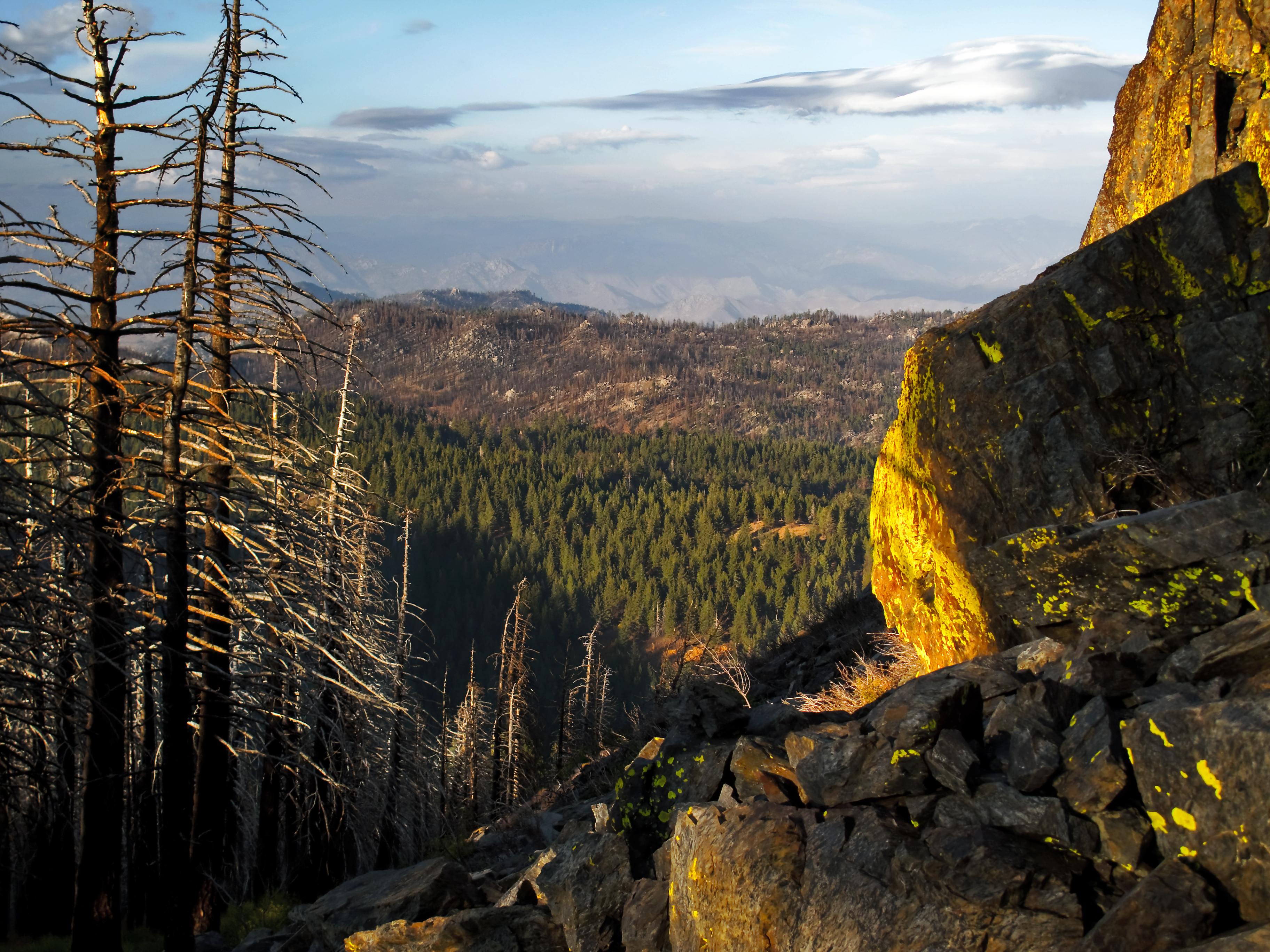
View from near Piute Mountain, PCT, California
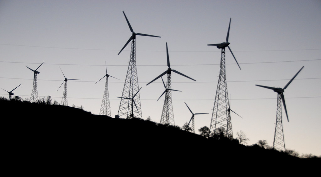
Turbines of Sky River Ranch Silhouettes, PCT near Tehachapi, California
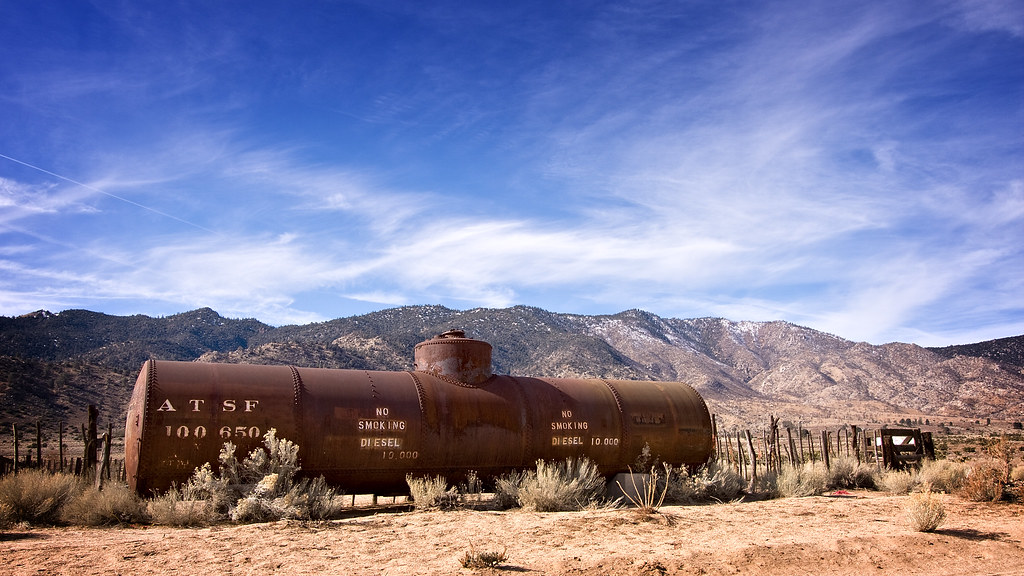
IMG_9025 Old ATSF diesel tank, Weldon(?), Kern County, California.

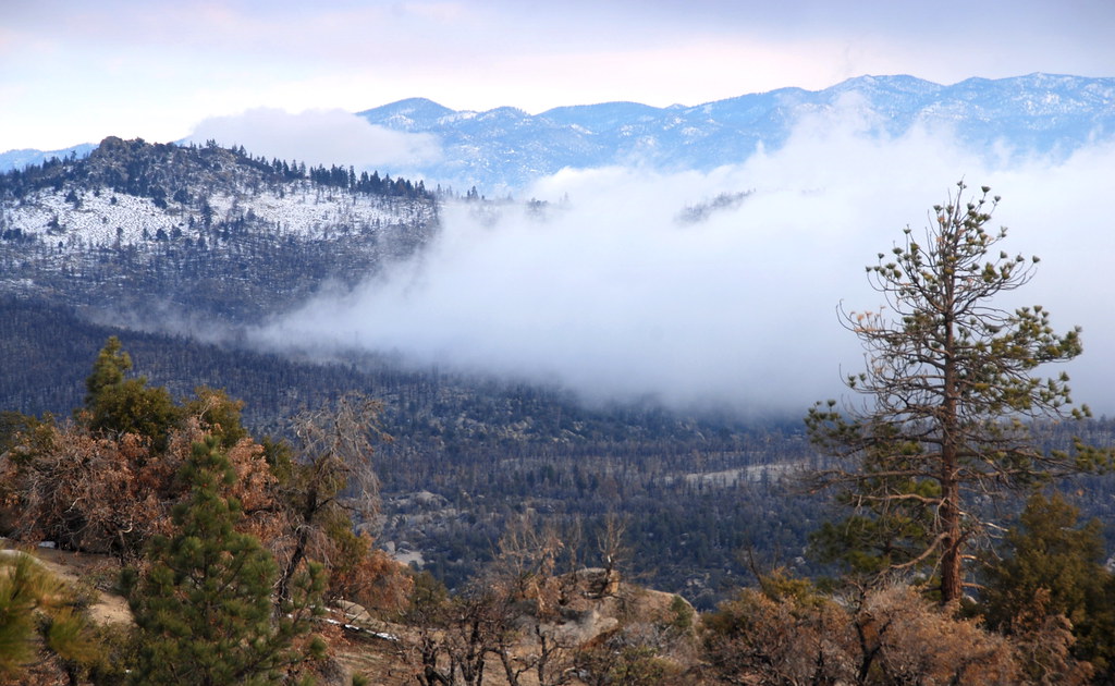
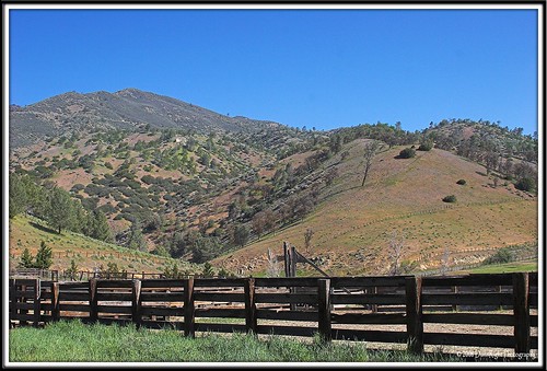
View of Caliente Creek region in Kern County
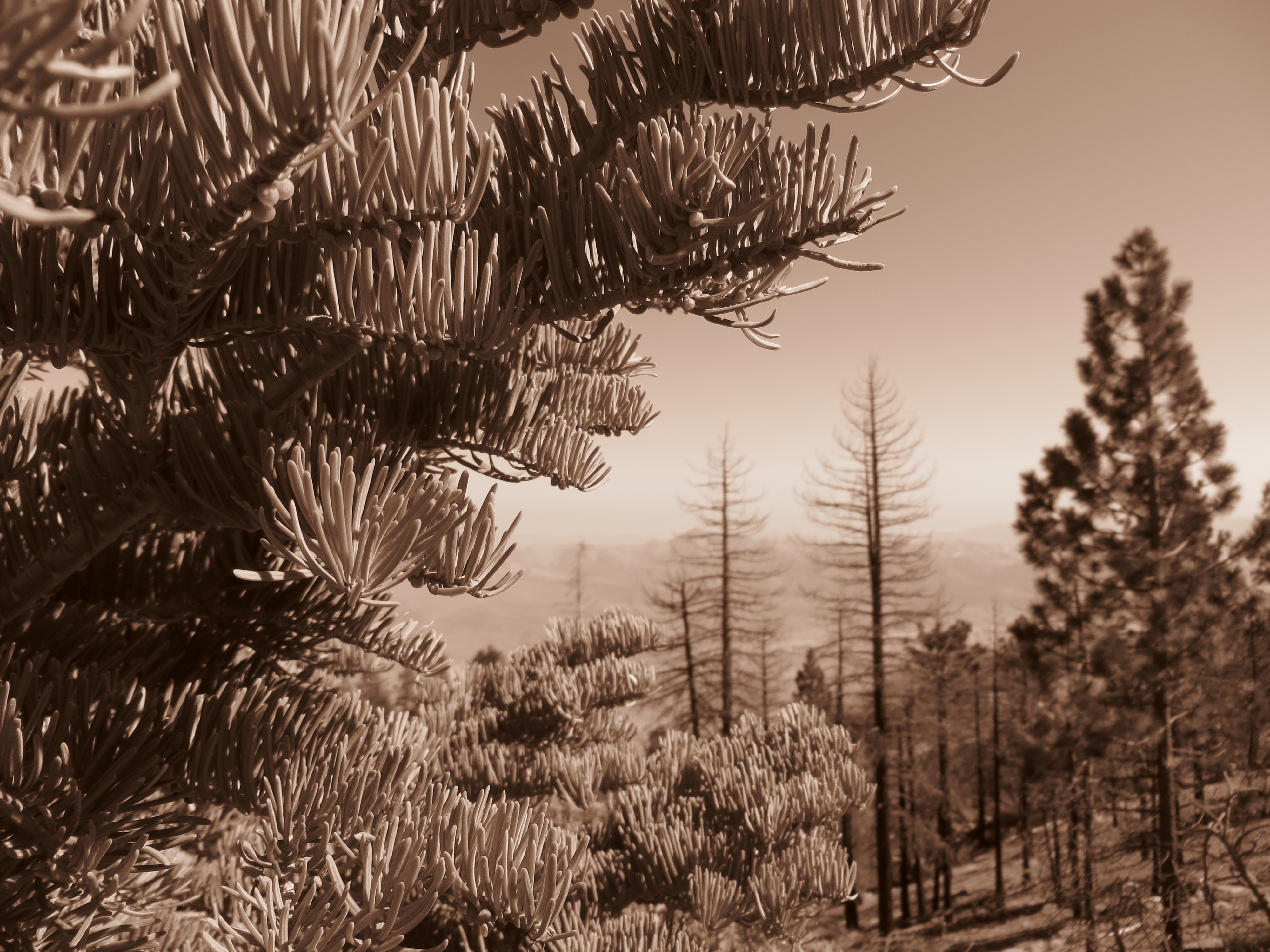
Piute Mountains Landscape
Rankin Vista View
view north from piute lookout
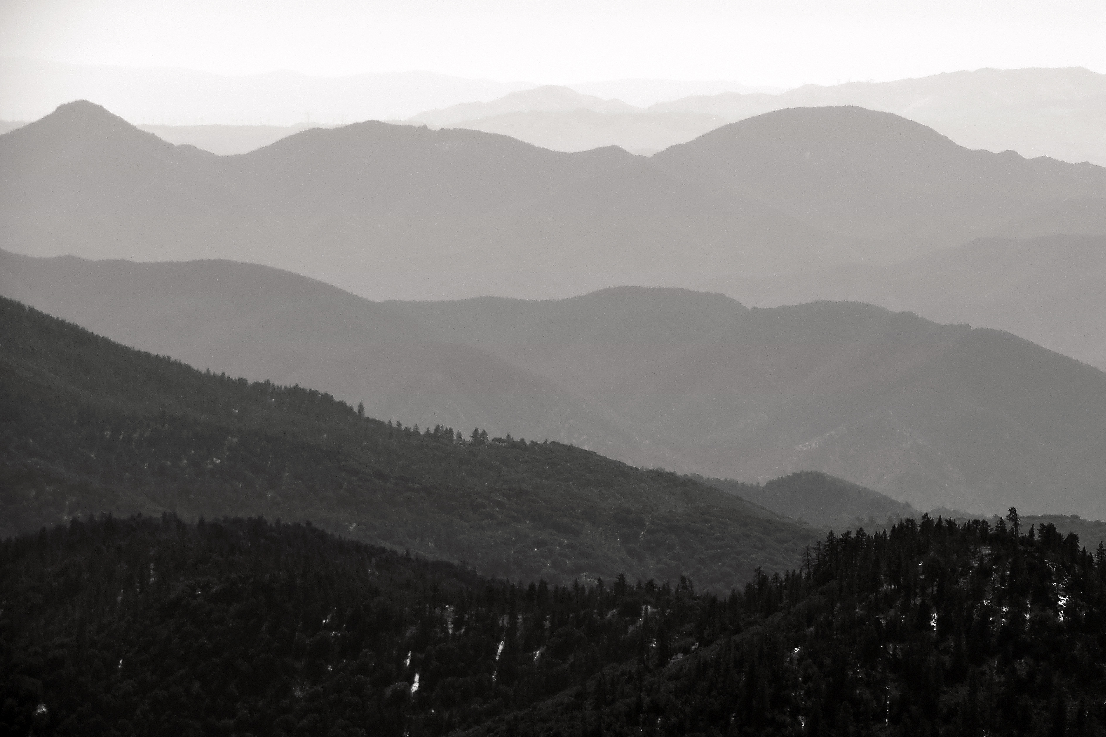
Into the Distance
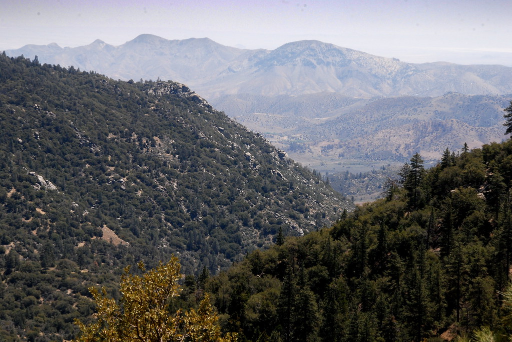
View south from PCT near northmost Jawbone Canyon Road Crossing, CA
Canton Way, Caliente, CA, USA Karte
Suchen Sie einen anderen Ort
Nahe Plätze
Back Canyon Rd, Caliente, CA, USA
Spring Meadow Rd, Caliente, CA, USA
Sand Canyon Rd, Caliente, CA, USA
Back Canyon Road, Back Canyon Rd, Caliente, CA, USA
Back Canyon Rd, Caliente, CA, USA
Piute Peak, California, USA
Schell Ranch Rd, Caliente, CA, USA
Pine Tree Rd, Caliente, CA, USA
Caliente Bodfish Rd, Havilah, CA, USA
Havilah, CA, USA
Marcel Dr, Tehachapi, CA, USA
Breckenridge Mountain, California, USA
Keene, CA, USA
Woodford-Tehachapi Rd, Keene, CA, USA
Marni Ct, Keene, CA, USA
Fern Street, Fern St, Bodfish, CA, USA
9 Hollie Way, Bodfish, CA, USA
Rembach Ave, Bodfish, CA, USA
Hart Flat Rd, Keene, CA, USA
S Kelso Valley Rd, Weldon, CA, USA
Letzte Suche
- Mountain View, CA, USA Sonnenaufgang Sonnenuntergang Zeiten
- Road to the sky observatory, Shuenhigashi, Shari, Shari District, Hokkaido -, Japan Sonnenaufgang Sonnenuntergang Zeiten
- 海岸咖啡, No. 31號, Chaishan Ave, Gushan District, Kaohsiung City, Taiwan Sonnenaufgang Sonnenuntergang Zeiten
- Estates Loop, Priest River, ID, USA Sonnenaufgang Sonnenuntergang Zeiten
- Woodland Oak Pl, Thousand Oaks, CA, USA Sonnenaufgang Sonnenuntergang Zeiten
- Sarangdanda, Nepal Sonnenaufgang Sonnenuntergang Zeiten
- Nakanoshima, Shiogama, Miyagi -, Japan Sonnenaufgang Sonnenuntergang Zeiten
- Centre de recherche en astronomie, astrophysique et géophysique, bp - 63 Rte de l'Observatoire, Bouz Sonnenaufgang Sonnenuntergang Zeiten
- Crocker Dr, Vacaville, CA, USA Sonnenaufgang Sonnenuntergang Zeiten
- Pu Ngaol Community Meeting Hall, HWHM+3X7, Krong Saen Monourom, Cambodia Sonnenaufgang Sonnenuntergang Zeiten