Bull Run Peak, California, USA Sonnenaufgang Sonnenuntergang Zeiten
Location: USA > Kalifornien > Arnold >
Zeitzone:
America/Los_Angeles
Ortszeit:
2024-05-03 14:35:01
Länge:
-119.8921261
Breite:
38.475188
Sonnenaufgang Heute:
05:57:44 AM
Sonnenuntergang Heute:
07:54:48 PM
Tageslänge heute:
13h 57m 4s
Sonnenaufgang morgen:
05:56:39 AM
Sonnenuntergang Morgen:
07:55:44 PM
Tageslänge von morgen:
13h 59m 5s
Alle Termine anzeigen
| Datum | Sonnenaufgang | Sonnenuntergang | Tageslänge |
|---|---|---|---|
| 2024-01-01 | 07:16:57 AM | 04:49:55 PM | 9h 32m 58s |
| 2024-01-02 | 07:17:03 AM | 04:50:45 PM | 9h 33m 42s |
| 2024-01-03 | 07:17:07 AM | 04:51:36 PM | 9h 34m 29s |
| 2024-01-04 | 07:17:09 AM | 04:52:29 PM | 9h 35m 20s |
| 2024-01-05 | 07:17:08 AM | 04:53:22 PM | 9h 36m 14s |
| 2024-01-06 | 07:17:06 AM | 04:54:17 PM | 9h 37m 11s |
| 2024-01-07 | 07:17:01 AM | 04:55:13 PM | 9h 38m 12s |
| 2024-01-08 | 07:16:54 AM | 04:56:10 PM | 9h 39m 16s |
| 2024-01-09 | 07:16:46 AM | 04:57:08 PM | 9h 40m 22s |
| 2024-01-10 | 07:16:35 AM | 04:58:07 PM | 9h 41m 32s |
| 2024-01-11 | 07:16:22 AM | 04:59:07 PM | 9h 42m 45s |
| 2024-01-12 | 07:16:06 AM | 05:00:08 PM | 9h 44m 2s |
| 2024-01-13 | 07:15:49 AM | 05:01:10 PM | 9h 45m 21s |
| 2024-01-14 | 07:15:30 AM | 05:02:12 PM | 9h 46m 42s |
| 2024-01-15 | 07:15:08 AM | 05:03:16 PM | 9h 48m 8s |
| 2024-01-16 | 07:14:45 AM | 05:04:19 PM | 9h 49m 34s |
| 2024-01-17 | 07:14:19 AM | 05:05:24 PM | 9h 51m 5s |
| 2024-01-18 | 07:13:52 AM | 05:06:29 PM | 9h 52m 37s |
| 2024-01-19 | 07:13:22 AM | 05:07:35 PM | 9h 54m 13s |
| 2024-01-20 | 07:12:51 AM | 05:08:41 PM | 9h 55m 50s |
| 2024-01-21 | 07:12:17 AM | 05:09:47 PM | 9h 57m 30s |
| 2024-01-22 | 07:11:42 AM | 05:10:54 PM | 9h 59m 12s |
| 2024-01-23 | 07:11:05 AM | 05:12:01 PM | 10h 0m 56s |
| 2024-01-24 | 07:10:26 AM | 05:13:09 PM | 10h 2m 43s |
| 2024-01-25 | 07:09:45 AM | 05:14:17 PM | 10h 4m 32s |
| 2024-01-26 | 07:09:02 AM | 05:15:25 PM | 10h 6m 23s |
| 2024-01-27 | 07:08:17 AM | 05:16:33 PM | 10h 8m 16s |
| 2024-01-28 | 07:07:31 AM | 05:17:41 PM | 10h 10m 10s |
| 2024-01-29 | 07:06:43 AM | 05:18:50 PM | 10h 12m 7s |
| 2024-01-30 | 07:05:53 AM | 05:19:58 PM | 10h 14m 5s |
| 2024-01-31 | 07:05:02 AM | 05:21:07 PM | 10h 16m 5s |
| 2024-02-01 | 07:04:08 AM | 05:22:16 PM | 10h 18m 8s |
| 2024-02-02 | 07:03:14 AM | 05:23:24 PM | 10h 20m 10s |
| 2024-02-03 | 07:02:17 AM | 05:24:33 PM | 10h 22m 16s |
| 2024-02-04 | 07:01:20 AM | 05:25:41 PM | 10h 24m 21s |
| 2024-02-05 | 07:00:20 AM | 05:26:50 PM | 10h 26m 30s |
| 2024-02-06 | 06:59:19 AM | 05:27:58 PM | 10h 28m 39s |
| 2024-02-07 | 06:58:17 AM | 05:29:06 PM | 10h 30m 49s |
| 2024-02-08 | 06:57:13 AM | 05:30:14 PM | 10h 33m 1s |
| 2024-02-09 | 06:56:08 AM | 05:31:22 PM | 10h 35m 14s |
| 2024-02-10 | 06:55:02 AM | 05:32:29 PM | 10h 37m 27s |
| 2024-02-11 | 06:53:54 AM | 05:33:37 PM | 10h 39m 43s |
| 2024-02-12 | 06:52:45 AM | 05:34:44 PM | 10h 41m 59s |
| 2024-02-13 | 06:51:34 AM | 05:35:51 PM | 10h 44m 17s |
| 2024-02-14 | 06:50:23 AM | 05:36:58 PM | 10h 46m 35s |
| 2024-02-15 | 06:49:10 AM | 05:38:04 PM | 10h 48m 54s |
| 2024-02-16 | 06:47:56 AM | 05:39:10 PM | 10h 51m 14s |
| 2024-02-17 | 06:46:41 AM | 05:40:16 PM | 10h 53m 35s |
| 2024-02-18 | 06:45:25 AM | 05:41:21 PM | 10h 55m 56s |
| 2024-02-19 | 06:44:08 AM | 05:42:26 PM | 10h 58m 18s |
| 2024-02-20 | 06:42:50 AM | 05:43:31 PM | 11h 0m 41s |
| 2024-02-21 | 06:41:31 AM | 05:44:36 PM | 11h 3m 5s |
| 2024-02-22 | 06:40:11 AM | 05:45:40 PM | 11h 5m 29s |
| 2024-02-23 | 06:38:50 AM | 05:46:44 PM | 11h 7m 54s |
| 2024-02-24 | 06:37:28 AM | 05:47:48 PM | 11h 10m 20s |
| 2024-02-25 | 06:36:06 AM | 05:48:51 PM | 11h 12m 45s |
| 2024-02-26 | 06:34:42 AM | 05:49:54 PM | 11h 15m 12s |
| 2024-02-27 | 06:33:18 AM | 05:50:57 PM | 11h 17m 39s |
| 2024-02-28 | 06:31:53 AM | 05:51:59 PM | 11h 20m 6s |
| 2024-02-29 | 06:30:27 AM | 05:53:01 PM | 11h 22m 34s |
| 2024-03-01 | 06:29:01 AM | 05:54:03 PM | 11h 25m 2s |
| 2024-03-02 | 06:27:34 AM | 05:55:05 PM | 11h 27m 31s |
| 2024-03-03 | 06:26:07 AM | 05:56:06 PM | 11h 29m 59s |
| 2024-03-04 | 06:24:38 AM | 05:57:07 PM | 11h 32m 29s |
| 2024-03-05 | 06:23:10 AM | 05:58:07 PM | 11h 34m 57s |
| 2024-03-06 | 06:21:40 AM | 05:59:08 PM | 11h 37m 28s |
| 2024-03-07 | 06:20:11 AM | 06:00:08 PM | 11h 39m 57s |
| 2024-03-08 | 06:18:40 AM | 06:01:08 PM | 11h 42m 28s |
| 2024-03-09 | 06:17:10 AM | 06:02:07 PM | 11h 44m 57s |
| 2024-03-10 | 07:15:43 AM | 07:03:04 PM | 11h 47m 21s |
| 2024-03-11 | 07:14:11 AM | 07:04:03 PM | 11h 49m 52s |
| 2024-03-12 | 07:12:40 AM | 07:05:02 PM | 11h 52m 22s |
| 2024-03-13 | 07:11:08 AM | 07:06:01 PM | 11h 54m 53s |
| 2024-03-14 | 07:09:35 AM | 07:06:59 PM | 11h 57m 24s |
| 2024-03-15 | 07:08:03 AM | 07:07:58 PM | 11h 59m 55s |
| 2024-03-16 | 07:06:30 AM | 07:08:56 PM | 12h 2m 26s |
| 2024-03-17 | 07:04:57 AM | 07:09:54 PM | 12h 4m 57s |
| 2024-03-18 | 07:03:24 AM | 07:10:51 PM | 12h 7m 27s |
| 2024-03-19 | 07:01:51 AM | 07:11:49 PM | 12h 9m 58s |
| 2024-03-20 | 07:00:18 AM | 07:12:47 PM | 12h 12m 29s |
| 2024-03-21 | 06:58:45 AM | 07:13:44 PM | 12h 14m 59s |
| 2024-03-22 | 06:57:12 AM | 07:14:41 PM | 12h 17m 29s |
| 2024-03-23 | 06:55:38 AM | 07:15:38 PM | 12h 20m 0s |
| 2024-03-24 | 06:54:05 AM | 07:16:35 PM | 12h 22m 30s |
| 2024-03-25 | 06:52:32 AM | 07:17:32 PM | 12h 25m 0s |
| 2024-03-26 | 06:50:59 AM | 07:18:29 PM | 12h 27m 30s |
| 2024-03-27 | 06:49:26 AM | 07:19:26 PM | 12h 30m 0s |
| 2024-03-28 | 06:47:53 AM | 07:20:23 PM | 12h 32m 30s |
| 2024-03-29 | 06:46:20 AM | 07:21:19 PM | 12h 34m 59s |
| 2024-03-30 | 06:44:48 AM | 07:22:16 PM | 12h 37m 28s |
| 2024-03-31 | 06:43:16 AM | 07:23:13 PM | 12h 39m 57s |
| 2024-04-01 | 06:41:44 AM | 07:24:09 PM | 12h 42m 25s |
| 2024-04-02 | 06:40:12 AM | 07:25:06 PM | 12h 44m 54s |
| 2024-04-03 | 06:38:41 AM | 07:26:02 PM | 12h 47m 21s |
| 2024-04-04 | 06:37:10 AM | 07:26:59 PM | 12h 49m 49s |
| 2024-04-05 | 06:35:40 AM | 07:27:56 PM | 12h 52m 16s |
| 2024-04-06 | 06:34:10 AM | 07:28:52 PM | 12h 54m 42s |
| 2024-04-07 | 06:32:40 AM | 07:29:49 PM | 12h 57m 9s |
| 2024-04-08 | 06:31:11 AM | 07:30:45 PM | 12h 59m 34s |
| 2024-04-09 | 06:29:42 AM | 07:31:42 PM | 13h 2m 0s |
| 2024-04-10 | 06:28:14 AM | 07:32:39 PM | 13h 4m 25s |
| 2024-04-11 | 06:26:47 AM | 07:33:35 PM | 13h 6m 48s |
| 2024-04-12 | 06:25:20 AM | 07:34:32 PM | 13h 9m 12s |
| 2024-04-13 | 06:23:54 AM | 07:35:29 PM | 13h 11m 35s |
| 2024-04-14 | 06:22:28 AM | 07:36:26 PM | 13h 13m 58s |
| 2024-04-15 | 06:21:03 AM | 07:37:23 PM | 13h 16m 20s |
| 2024-04-16 | 06:19:39 AM | 07:38:20 PM | 13h 18m 41s |
| 2024-04-17 | 06:18:16 AM | 07:39:16 PM | 13h 21m 0s |
| 2024-04-18 | 06:16:53 AM | 07:40:13 PM | 13h 23m 20s |
| 2024-04-19 | 06:15:31 AM | 07:41:10 PM | 13h 25m 39s |
| 2024-04-20 | 06:14:10 AM | 07:42:07 PM | 13h 27m 57s |
| 2024-04-21 | 06:12:50 AM | 07:43:04 PM | 13h 30m 14s |
| 2024-04-22 | 06:11:31 AM | 07:44:01 PM | 13h 32m 30s |
| 2024-04-23 | 06:10:13 AM | 07:44:58 PM | 13h 34m 45s |
| 2024-04-24 | 06:08:56 AM | 07:45:56 PM | 13h 37m 0s |
| 2024-04-25 | 06:07:39 AM | 07:46:53 PM | 13h 39m 14s |
| 2024-04-26 | 06:06:24 AM | 07:47:50 PM | 13h 41m 26s |
| 2024-04-27 | 06:05:10 AM | 07:48:46 PM | 13h 43m 36s |
| 2024-04-28 | 06:03:57 AM | 07:49:43 PM | 13h 45m 46s |
| 2024-04-29 | 06:02:45 AM | 07:50:40 PM | 13h 47m 55s |
| 2024-04-30 | 06:01:34 AM | 07:51:37 PM | 13h 50m 3s |
| 2024-05-01 | 06:00:25 AM | 07:52:34 PM | 13h 52m 9s |
| 2024-05-02 | 05:59:16 AM | 07:53:30 PM | 13h 54m 14s |
| 2024-05-03 | 05:58:09 AM | 07:54:27 PM | 13h 56m 18s |
| 2024-05-04 | 05:57:03 AM | 07:55:23 PM | 13h 58m 20s |
| 2024-05-05 | 05:55:59 AM | 07:56:19 PM | 14h 0m 20s |
| 2024-05-06 | 05:54:55 AM | 07:57:15 PM | 14h 2m 20s |
| 2024-05-07 | 05:53:53 AM | 07:58:10 PM | 14h 4m 17s |
| 2024-05-08 | 05:52:53 AM | 07:59:06 PM | 14h 6m 13s |
| 2024-05-09 | 05:51:54 AM | 08:00:01 PM | 14h 8m 7s |
| 2024-05-10 | 05:50:56 AM | 08:00:56 PM | 14h 10m 0s |
| 2024-05-11 | 05:50:00 AM | 08:01:50 PM | 14h 11m 50s |
| 2024-05-12 | 05:49:05 AM | 08:02:45 PM | 14h 13m 40s |
| 2024-05-13 | 05:48:12 AM | 08:03:38 PM | 14h 15m 26s |
| 2024-05-14 | 05:47:20 AM | 08:04:32 PM | 14h 17m 12s |
| 2024-05-15 | 05:46:30 AM | 08:05:25 PM | 14h 18m 55s |
| 2024-05-16 | 05:45:42 AM | 08:06:17 PM | 14h 20m 35s |
| 2024-05-17 | 05:44:55 AM | 08:07:09 PM | 14h 22m 14s |
| 2024-05-18 | 05:44:10 AM | 08:08:01 PM | 14h 23m 51s |
| 2024-05-19 | 05:43:26 AM | 08:08:52 PM | 14h 25m 26s |
| 2024-05-20 | 05:42:44 AM | 08:09:42 PM | 14h 26m 58s |
| 2024-05-21 | 05:42:04 AM | 08:10:32 PM | 14h 28m 28s |
| 2024-05-22 | 05:41:25 AM | 08:11:21 PM | 14h 29m 56s |
| 2024-05-23 | 05:40:48 AM | 08:12:09 PM | 14h 31m 21s |
| 2024-05-24 | 05:40:13 AM | 08:12:56 PM | 14h 32m 43s |
| 2024-05-25 | 05:39:40 AM | 08:13:43 PM | 14h 34m 3s |
| 2024-05-26 | 05:39:09 AM | 08:14:29 PM | 14h 35m 20s |
| 2024-05-27 | 05:38:39 AM | 08:15:14 PM | 14h 36m 35s |
| 2024-05-28 | 05:38:11 AM | 08:15:58 PM | 14h 37m 47s |
| 2024-05-29 | 05:37:45 AM | 08:16:41 PM | 14h 38m 56s |
| 2024-05-30 | 05:37:21 AM | 08:17:23 PM | 14h 40m 2s |
| 2024-05-31 | 05:36:58 AM | 08:18:04 PM | 14h 41m 6s |
| 2024-06-01 | 05:36:38 AM | 08:18:44 PM | 14h 42m 6s |
| 2024-06-02 | 05:36:19 AM | 08:19:23 PM | 14h 43m 4s |
| 2024-06-03 | 05:36:02 AM | 08:20:01 PM | 14h 43m 59s |
| 2024-06-04 | 05:35:47 AM | 08:20:37 PM | 14h 44m 50s |
| 2024-06-05 | 05:35:34 AM | 08:21:12 PM | 14h 45m 38s |
| 2024-06-06 | 05:35:22 AM | 08:21:46 PM | 14h 46m 24s |
| 2024-06-07 | 05:35:13 AM | 08:22:19 PM | 14h 47m 6s |
| 2024-06-08 | 05:35:05 AM | 08:22:50 PM | 14h 47m 45s |
| 2024-06-09 | 05:34:59 AM | 08:23:20 PM | 14h 48m 21s |
| 2024-06-10 | 05:34:55 AM | 08:23:49 PM | 14h 48m 54s |
| 2024-06-11 | 05:34:53 AM | 08:24:16 PM | 14h 49m 23s |
| 2024-06-12 | 05:34:53 AM | 08:24:42 PM | 14h 49m 49s |
| 2024-06-13 | 05:34:54 AM | 08:25:06 PM | 14h 50m 12s |
| 2024-06-14 | 05:34:57 AM | 08:25:28 PM | 14h 50m 31s |
| 2024-06-15 | 05:35:02 AM | 08:25:49 PM | 14h 50m 47s |
| 2024-06-16 | 05:35:09 AM | 08:26:08 PM | 14h 50m 59s |
| 2024-06-17 | 05:35:17 AM | 08:26:26 PM | 14h 51m 9s |
| 2024-06-18 | 05:35:28 AM | 08:26:42 PM | 14h 51m 14s |
| 2024-06-19 | 05:35:39 AM | 08:26:56 PM | 14h 51m 17s |
| 2024-06-20 | 05:35:53 AM | 08:27:09 PM | 14h 51m 16s |
| 2024-06-21 | 05:36:08 AM | 08:27:20 PM | 14h 51m 12s |
| 2024-06-22 | 05:36:25 AM | 08:27:29 PM | 14h 51m 4s |
| 2024-06-23 | 05:36:43 AM | 08:27:36 PM | 14h 50m 53s |
| 2024-06-24 | 05:37:03 AM | 08:27:42 PM | 14h 50m 39s |
| 2024-06-25 | 05:37:24 AM | 08:27:46 PM | 14h 50m 22s |
| 2024-06-26 | 05:37:47 AM | 08:27:47 PM | 14h 50m 0s |
| 2024-06-27 | 05:38:12 AM | 08:27:47 PM | 14h 49m 35s |
| 2024-06-28 | 05:38:38 AM | 08:27:46 PM | 14h 49m 8s |
| 2024-06-29 | 05:39:05 AM | 08:27:42 PM | 14h 48m 37s |
| 2024-06-30 | 05:39:33 AM | 08:27:36 PM | 14h 48m 3s |
| 2024-07-01 | 05:40:03 AM | 08:27:29 PM | 14h 47m 26s |
| 2024-07-02 | 05:40:35 AM | 08:27:20 PM | 14h 46m 45s |
| 2024-07-03 | 05:41:07 AM | 08:27:08 PM | 14h 46m 1s |
| 2024-07-04 | 05:41:41 AM | 08:26:55 PM | 14h 45m 14s |
| 2024-07-05 | 05:42:16 AM | 08:26:40 PM | 14h 44m 24s |
| 2024-07-06 | 05:42:51 AM | 08:26:23 PM | 14h 43m 32s |
| 2024-07-07 | 05:43:29 AM | 08:26:04 PM | 14h 42m 35s |
| 2024-07-08 | 05:44:07 AM | 08:25:44 PM | 14h 41m 37s |
| 2024-07-09 | 05:44:46 AM | 08:25:21 PM | 14h 40m 35s |
| 2024-07-10 | 05:45:26 AM | 08:24:57 PM | 14h 39m 31s |
| 2024-07-11 | 05:46:07 AM | 08:24:31 PM | 14h 38m 24s |
| 2024-07-12 | 05:46:49 AM | 08:24:02 PM | 14h 37m 13s |
| 2024-07-13 | 05:47:32 AM | 08:23:32 PM | 14h 36m 0s |
| 2024-07-14 | 05:48:15 AM | 08:23:01 PM | 14h 34m 46s |
| 2024-07-15 | 05:49:00 AM | 08:22:27 PM | 14h 33m 27s |
| 2024-07-16 | 05:49:45 AM | 08:21:52 PM | 14h 32m 7s |
| 2024-07-17 | 05:50:31 AM | 08:21:14 PM | 14h 30m 43s |
| 2024-07-18 | 05:51:17 AM | 08:20:36 PM | 14h 29m 19s |
| 2024-07-19 | 05:52:05 AM | 08:19:55 PM | 14h 27m 50s |
| 2024-07-20 | 05:52:52 AM | 08:19:12 PM | 14h 26m 20s |
| 2024-07-21 | 05:53:41 AM | 08:18:28 PM | 14h 24m 47s |
| 2024-07-22 | 05:54:29 AM | 08:17:43 PM | 14h 23m 14s |
| 2024-07-23 | 05:55:19 AM | 08:16:55 PM | 14h 21m 36s |
| 2024-07-24 | 05:56:09 AM | 08:16:06 PM | 14h 19m 57s |
| 2024-07-25 | 05:56:59 AM | 08:15:15 PM | 14h 18m 16s |
| 2024-07-26 | 05:57:49 AM | 08:14:23 PM | 14h 16m 34s |
| 2024-07-27 | 05:58:40 AM | 08:13:29 PM | 14h 14m 49s |
| 2024-07-28 | 05:59:32 AM | 08:12:34 PM | 14h 13m 2s |
| 2024-07-29 | 06:00:23 AM | 08:11:37 PM | 14h 11m 14s |
| 2024-07-30 | 06:01:15 AM | 08:10:38 PM | 14h 9m 23s |
| 2024-07-31 | 06:02:07 AM | 08:09:38 PM | 14h 7m 31s |
| 2024-08-01 | 06:02:59 AM | 08:08:37 PM | 14h 5m 38s |
| 2024-08-02 | 06:03:52 AM | 08:07:34 PM | 14h 3m 42s |
| 2024-08-03 | 06:04:45 AM | 08:06:30 PM | 14h 1m 45s |
| 2024-08-04 | 06:05:37 AM | 08:05:25 PM | 13h 59m 48s |
| 2024-08-05 | 06:06:30 AM | 08:04:18 PM | 13h 57m 48s |
| 2024-08-06 | 06:07:24 AM | 08:03:10 PM | 13h 55m 46s |
| 2024-08-07 | 06:08:17 AM | 08:02:00 PM | 13h 53m 43s |
| 2024-08-08 | 06:09:10 AM | 08:00:50 PM | 13h 51m 40s |
| 2024-08-09 | 06:10:03 AM | 07:59:38 PM | 13h 49m 35s |
| 2024-08-10 | 06:10:57 AM | 07:58:25 PM | 13h 47m 28s |
| 2024-08-11 | 06:11:50 AM | 07:57:11 PM | 13h 45m 21s |
| 2024-08-12 | 06:12:43 AM | 07:55:56 PM | 13h 43m 13s |
| 2024-08-13 | 06:13:37 AM | 07:54:39 PM | 13h 41m 2s |
| 2024-08-14 | 06:14:30 AM | 07:53:22 PM | 13h 38m 52s |
| 2024-08-15 | 06:15:23 AM | 07:52:04 PM | 13h 36m 41s |
| 2024-08-16 | 06:16:17 AM | 07:50:44 PM | 13h 34m 27s |
| 2024-08-17 | 06:17:10 AM | 07:49:24 PM | 13h 32m 14s |
| 2024-08-18 | 06:18:03 AM | 07:48:03 PM | 13h 30m 0s |
| 2024-08-19 | 06:18:56 AM | 07:46:40 PM | 13h 27m 44s |
| 2024-08-20 | 06:19:50 AM | 07:45:17 PM | 13h 25m 27s |
| 2024-08-21 | 06:20:43 AM | 07:43:53 PM | 13h 23m 10s |
| 2024-08-22 | 06:21:36 AM | 07:42:29 PM | 13h 20m 53s |
| 2024-08-23 | 06:22:29 AM | 07:41:03 PM | 13h 18m 34s |
| 2024-08-24 | 06:23:22 AM | 07:39:37 PM | 13h 16m 15s |
| 2024-08-25 | 06:24:14 AM | 07:38:10 PM | 13h 13m 56s |
| 2024-08-26 | 06:25:07 AM | 07:36:42 PM | 13h 11m 35s |
| 2024-08-27 | 06:26:00 AM | 07:35:14 PM | 13h 9m 14s |
| 2024-08-28 | 06:26:52 AM | 07:33:45 PM | 13h 6m 53s |
| 2024-08-29 | 06:27:45 AM | 07:32:15 PM | 13h 4m 30s |
| 2024-08-30 | 06:28:37 AM | 07:30:45 PM | 13h 2m 8s |
| 2024-08-31 | 06:29:30 AM | 07:29:14 PM | 12h 59m 44s |
| 2024-09-01 | 06:30:22 AM | 07:27:43 PM | 12h 57m 21s |
| 2024-09-02 | 06:31:15 AM | 07:26:11 PM | 12h 54m 56s |
| 2024-09-03 | 06:32:07 AM | 07:24:39 PM | 12h 52m 32s |
| 2024-09-04 | 06:32:59 AM | 07:23:07 PM | 12h 50m 8s |
| 2024-09-05 | 06:33:51 AM | 07:21:34 PM | 12h 47m 43s |
| 2024-09-06 | 06:34:44 AM | 07:20:00 PM | 12h 45m 16s |
| 2024-09-07 | 06:35:36 AM | 07:18:27 PM | 12h 42m 51s |
| 2024-09-08 | 06:36:28 AM | 07:16:53 PM | 12h 40m 25s |
| 2024-09-09 | 06:37:20 AM | 07:15:18 PM | 12h 37m 58s |
| 2024-09-10 | 06:38:12 AM | 07:13:44 PM | 12h 35m 32s |
| 2024-09-11 | 06:39:05 AM | 07:12:09 PM | 12h 33m 4s |
| 2024-09-12 | 06:39:57 AM | 07:10:34 PM | 12h 30m 37s |
| 2024-09-13 | 06:40:49 AM | 07:08:59 PM | 12h 28m 10s |
| 2024-09-14 | 06:41:42 AM | 07:07:24 PM | 12h 25m 42s |
| 2024-09-15 | 06:42:34 AM | 07:05:48 PM | 12h 23m 14s |
| 2024-09-16 | 06:43:27 AM | 07:04:13 PM | 12h 20m 46s |
| 2024-09-17 | 06:44:19 AM | 07:02:38 PM | 12h 18m 19s |
| 2024-09-18 | 06:45:12 AM | 07:01:02 PM | 12h 15m 50s |
| 2024-09-19 | 06:46:05 AM | 06:59:27 PM | 12h 13m 22s |
| 2024-09-20 | 06:46:58 AM | 06:57:51 PM | 12h 10m 53s |
| 2024-09-21 | 06:47:51 AM | 06:56:16 PM | 12h 8m 25s |
| 2024-09-22 | 06:48:44 AM | 06:54:41 PM | 12h 5m 57s |
| 2024-09-23 | 06:49:37 AM | 06:53:05 PM | 12h 3m 28s |
| 2024-09-24 | 06:50:31 AM | 06:51:30 PM | 12h 0m 59s |
| 2024-09-25 | 06:51:25 AM | 06:49:56 PM | 11h 58m 31s |
| 2024-09-26 | 06:52:18 AM | 06:48:21 PM | 11h 56m 3s |
| 2024-09-27 | 06:53:13 AM | 06:46:47 PM | 11h 53m 34s |
| 2024-09-28 | 06:54:07 AM | 06:45:13 PM | 11h 51m 6s |
| 2024-09-29 | 06:55:01 AM | 06:43:39 PM | 11h 48m 38s |
| 2024-09-30 | 06:55:56 AM | 06:42:06 PM | 11h 46m 10s |
| 2024-10-01 | 06:56:51 AM | 06:40:33 PM | 11h 43m 42s |
| 2024-10-02 | 06:57:46 AM | 06:39:00 PM | 11h 41m 14s |
| 2024-10-03 | 06:58:42 AM | 06:37:28 PM | 11h 38m 46s |
| 2024-10-04 | 06:59:38 AM | 06:35:56 PM | 11h 36m 18s |
| 2024-10-05 | 07:00:34 AM | 06:34:25 PM | 11h 33m 51s |
| 2024-10-06 | 07:01:30 AM | 06:32:54 PM | 11h 31m 24s |
| 2024-10-07 | 07:02:27 AM | 06:31:24 PM | 11h 28m 57s |
| 2024-10-08 | 07:03:24 AM | 06:29:55 PM | 11h 26m 31s |
| 2024-10-09 | 07:04:21 AM | 06:28:26 PM | 11h 24m 5s |
| 2024-10-10 | 07:05:19 AM | 06:26:58 PM | 11h 21m 39s |
| 2024-10-11 | 07:06:16 AM | 06:25:30 PM | 11h 19m 14s |
| 2024-10-12 | 07:07:15 AM | 06:24:03 PM | 11h 16m 48s |
| 2024-10-13 | 07:08:13 AM | 06:22:37 PM | 11h 14m 24s |
| 2024-10-14 | 07:09:12 AM | 06:21:12 PM | 11h 12m 0s |
| 2024-10-15 | 07:10:11 AM | 06:19:47 PM | 11h 9m 36s |
| 2024-10-16 | 07:11:11 AM | 06:18:23 PM | 11h 7m 12s |
| 2024-10-17 | 07:12:11 AM | 06:17:01 PM | 11h 4m 50s |
| 2024-10-18 | 07:13:11 AM | 06:15:39 PM | 11h 2m 28s |
| 2024-10-19 | 07:14:12 AM | 06:14:18 PM | 11h 0m 6s |
| 2024-10-20 | 07:15:12 AM | 06:12:58 PM | 10h 57m 46s |
| 2024-10-21 | 07:16:14 AM | 06:11:39 PM | 10h 55m 25s |
| 2024-10-22 | 07:17:15 AM | 06:10:21 PM | 10h 53m 6s |
| 2024-10-23 | 07:18:17 AM | 06:09:04 PM | 10h 50m 47s |
| 2024-10-24 | 07:19:19 AM | 06:07:48 PM | 10h 48m 29s |
| 2024-10-25 | 07:20:22 AM | 06:06:34 PM | 10h 46m 12s |
| 2024-10-26 | 07:21:25 AM | 06:05:20 PM | 10h 43m 55s |
| 2024-10-27 | 07:22:28 AM | 06:04:08 PM | 10h 41m 40s |
| 2024-10-28 | 07:23:31 AM | 06:02:57 PM | 10h 39m 26s |
| 2024-10-29 | 07:24:35 AM | 06:01:47 PM | 10h 37m 12s |
| 2024-10-30 | 07:25:39 AM | 06:00:39 PM | 10h 35m 0s |
| 2024-10-31 | 07:26:43 AM | 05:59:32 PM | 10h 32m 49s |
| 2024-11-01 | 07:27:48 AM | 05:58:26 PM | 10h 30m 38s |
| 2024-11-02 | 07:28:52 AM | 05:57:22 PM | 10h 28m 30s |
| 2024-11-03 | 06:30:00 AM | 04:56:17 PM | 10h 26m 17s |
| 2024-11-04 | 06:31:05 AM | 04:55:16 PM | 10h 24m 11s |
| 2024-11-05 | 06:32:10 AM | 04:54:16 PM | 10h 22m 6s |
| 2024-11-06 | 06:33:15 AM | 04:53:18 PM | 10h 20m 3s |
| 2024-11-07 | 06:34:21 AM | 04:52:21 PM | 10h 18m 0s |
| 2024-11-08 | 06:35:26 AM | 04:51:26 PM | 10h 16m 0s |
| 2024-11-09 | 06:36:32 AM | 04:50:33 PM | 10h 14m 1s |
| 2024-11-10 | 06:37:37 AM | 04:49:41 PM | 10h 12m 4s |
| 2024-11-11 | 06:38:43 AM | 04:48:52 PM | 10h 10m 9s |
| 2024-11-12 | 06:39:48 AM | 04:48:03 PM | 10h 8m 15s |
| 2024-11-13 | 06:40:54 AM | 04:47:17 PM | 10h 6m 23s |
| 2024-11-14 | 06:41:59 AM | 04:46:32 PM | 10h 4m 33s |
| 2024-11-15 | 06:43:04 AM | 04:45:50 PM | 10h 2m 46s |
| 2024-11-16 | 06:44:09 AM | 04:45:09 PM | 10h 1m 0s |
| 2024-11-17 | 06:45:14 AM | 04:44:30 PM | 9h 59m 16s |
| 2024-11-18 | 06:46:18 AM | 04:43:53 PM | 9h 57m 35s |
| 2024-11-19 | 06:47:22 AM | 04:43:18 PM | 9h 55m 56s |
| 2024-11-20 | 06:48:26 AM | 04:42:44 PM | 9h 54m 18s |
| 2024-11-21 | 06:49:30 AM | 04:42:13 PM | 9h 52m 43s |
| 2024-11-22 | 06:50:33 AM | 04:41:44 PM | 9h 51m 11s |
| 2024-11-23 | 06:51:35 AM | 04:41:17 PM | 9h 49m 42s |
| 2024-11-24 | 06:52:37 AM | 04:40:52 PM | 9h 48m 15s |
| 2024-11-25 | 06:53:38 AM | 04:40:29 PM | 9h 46m 51s |
| 2024-11-26 | 06:54:39 AM | 04:40:08 PM | 9h 45m 29s |
| 2024-11-27 | 06:55:39 AM | 04:39:49 PM | 9h 44m 10s |
| 2024-11-28 | 06:56:38 AM | 04:39:32 PM | 9h 42m 54s |
| 2024-11-29 | 06:57:37 AM | 04:39:18 PM | 9h 41m 41s |
| 2024-11-30 | 06:58:34 AM | 04:39:05 PM | 9h 40m 31s |
| 2024-12-01 | 06:59:31 AM | 04:38:55 PM | 9h 39m 24s |
| 2024-12-02 | 07:00:27 AM | 04:38:47 PM | 9h 38m 20s |
| 2024-12-03 | 07:01:21 AM | 04:38:41 PM | 9h 37m 20s |
| 2024-12-04 | 07:02:15 AM | 04:38:37 PM | 9h 36m 22s |
| 2024-12-05 | 07:03:08 AM | 04:38:35 PM | 9h 35m 27s |
| 2024-12-06 | 07:03:59 AM | 04:38:36 PM | 9h 34m 37s |
| 2024-12-07 | 07:04:49 AM | 04:38:38 PM | 9h 33m 49s |
| 2024-12-08 | 07:05:38 AM | 04:38:43 PM | 9h 33m 5s |
| 2024-12-09 | 07:06:26 AM | 04:38:50 PM | 9h 32m 24s |
| 2024-12-10 | 07:07:12 AM | 04:38:59 PM | 9h 31m 47s |
| 2024-12-11 | 07:07:57 AM | 04:39:10 PM | 9h 31m 13s |
| 2024-12-12 | 07:08:41 AM | 04:39:24 PM | 9h 30m 43s |
| 2024-12-13 | 07:09:23 AM | 04:39:39 PM | 9h 30m 16s |
| 2024-12-14 | 07:10:03 AM | 04:39:57 PM | 9h 29m 54s |
| 2024-12-15 | 07:10:42 AM | 04:40:16 PM | 9h 29m 34s |
| 2024-12-16 | 07:11:19 AM | 04:40:38 PM | 9h 29m 19s |
| 2024-12-17 | 07:11:55 AM | 04:41:01 PM | 9h 29m 6s |
| 2024-12-18 | 07:12:28 AM | 04:41:27 PM | 9h 28m 59s |
| 2024-12-19 | 07:13:00 AM | 04:41:54 PM | 9h 28m 54s |
| 2024-12-20 | 07:13:31 AM | 04:42:24 PM | 9h 28m 53s |
| 2024-12-21 | 07:13:59 AM | 04:42:55 PM | 9h 28m 56s |
| 2024-12-22 | 07:14:26 AM | 04:43:28 PM | 9h 29m 2s |
| 2024-12-23 | 07:14:50 AM | 04:44:03 PM | 9h 29m 13s |
| 2024-12-24 | 07:15:13 AM | 04:44:40 PM | 9h 29m 27s |
| 2024-12-25 | 07:15:34 AM | 04:45:19 PM | 9h 29m 45s |
| 2024-12-26 | 07:15:52 AM | 04:45:59 PM | 9h 30m 7s |
| 2024-12-27 | 07:16:09 AM | 04:46:41 PM | 9h 30m 32s |
| 2024-12-28 | 07:16:24 AM | 04:47:24 PM | 9h 31m 0s |
| 2024-12-29 | 07:16:36 AM | 04:48:09 PM | 9h 31m 33s |
| 2024-12-30 | 07:16:47 AM | 04:48:55 PM | 9h 32m 8s |
Fotos
Logging Time: Sierra Nevada
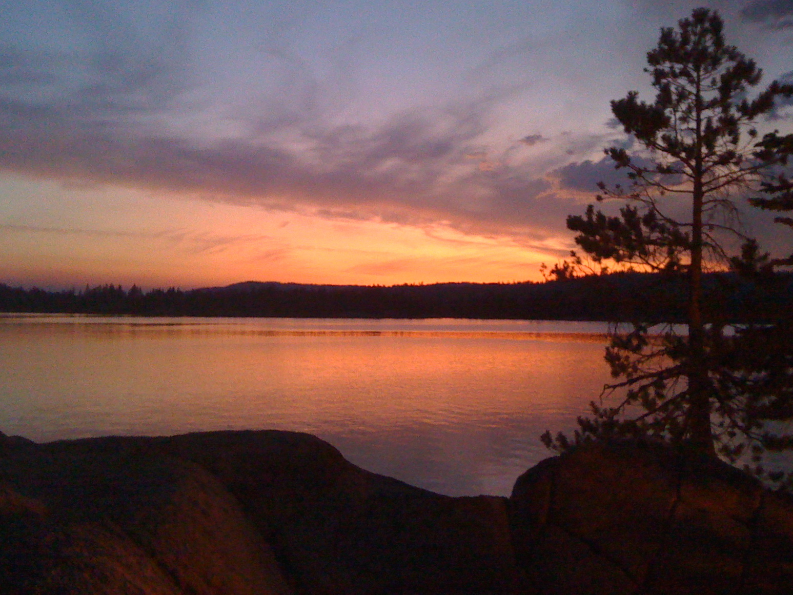
Union Reservoir Sunset

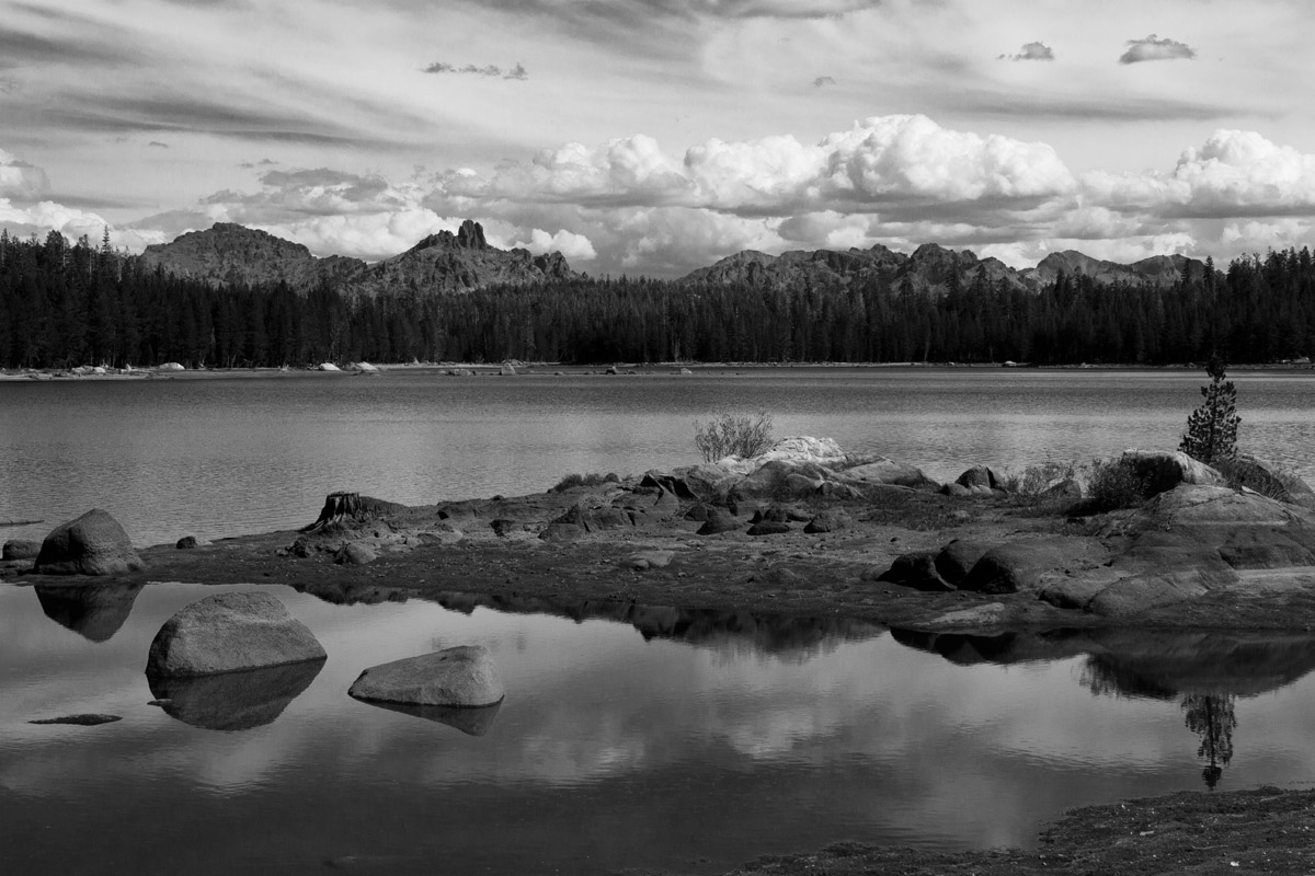
Bull Run Lake Panorama

DSC_0013.jpg
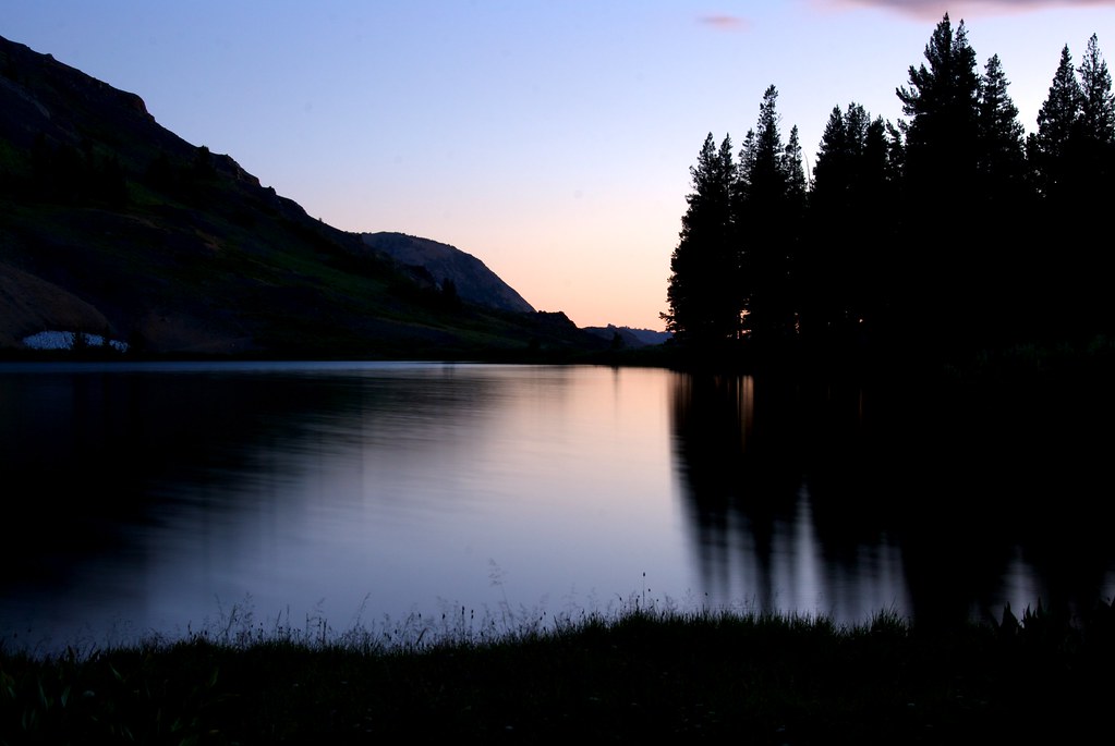
Twin Lake
Sunset Lakeside
Twin Lake, Alpine County, California

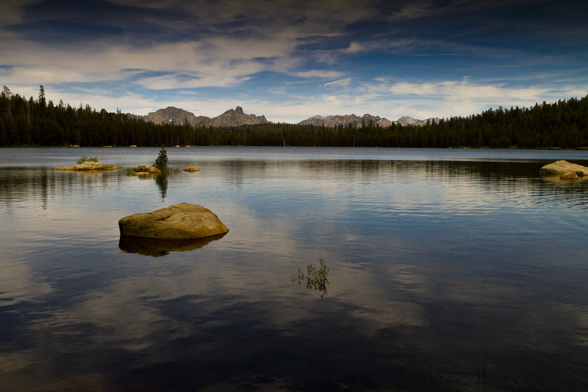
Peaks East of Bull Run Lake

Utica Kayak Camping
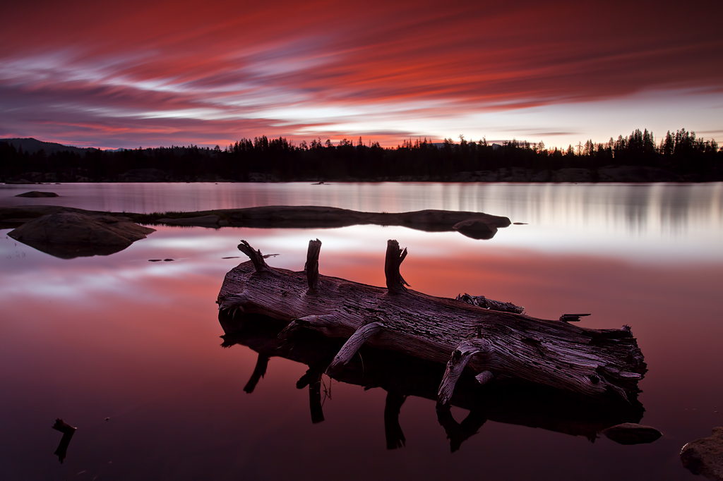
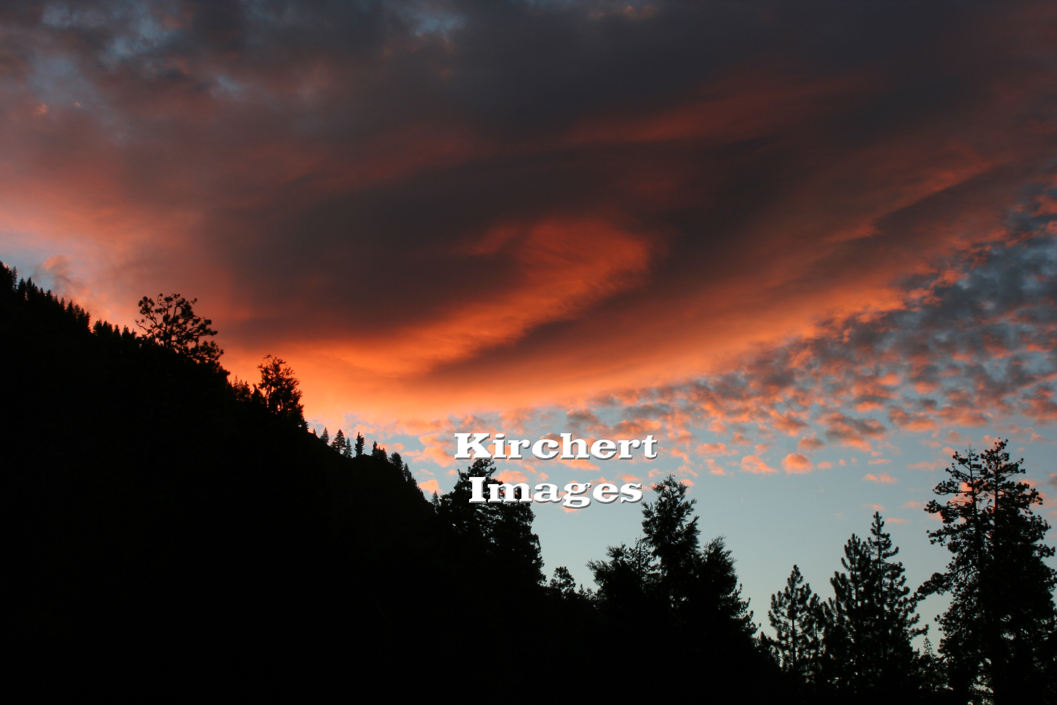
Lake Alpine - Red Sky
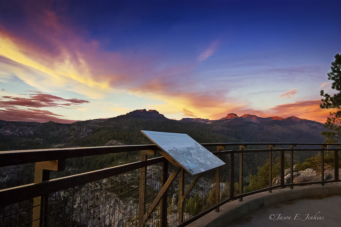
Volcanic Alpen Glow
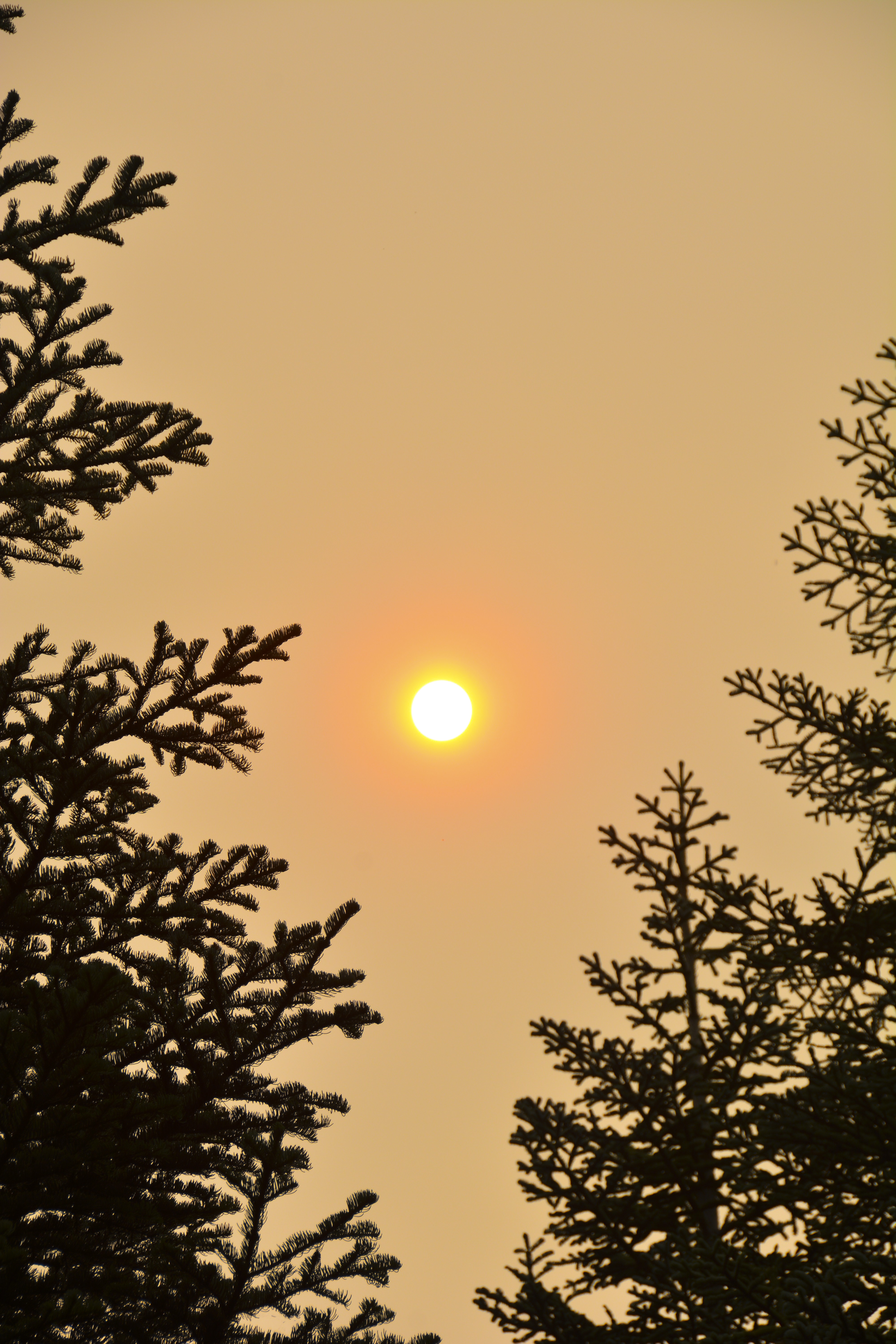
Sierra Sunrise
Bull Run Peak, California, USA Karte
Suchen Sie einen anderen Ort
Nahe Plätze
Peep Sight Peak, California, USA
Alpine State Hwy, Arnold, CA, USA
The Dardanelles North, California, USA
Iceberg Peak, California, USA
Airola Peak, California, USA
Folger Peak, California, USA
The Dardanelles West, California, USA
Ebbetts Pass, California, USA
Utica Reservoir, California, USA
Reynolds Peak, California, USA
Alpine County, Kalifornien, USA
Clark Fork Campground, California, Vereinigte Staaten
Arnot Peak, California, USA
Raymond Peak, California, USA
Dardanelle, CA, USA
Bear Valley, CA, USA
Highland Peak, California, USA
Bald Peak, California, USA
Disaster Peak, California, USA
The Nipple, California, USA
Letzte Suche
- Woodland Oak Pl, Thousand Oaks, CA, USA Sonnenaufgang Sonnenuntergang Zeiten
- Sarangdanda, Nepal Sonnenaufgang Sonnenuntergang Zeiten
- Nakanoshima, Shiogama, Miyagi -, Japan Sonnenaufgang Sonnenuntergang Zeiten
- Center of Research in Astronomy, Astrophysics, and Geophysics, bp - 63 Rte de l'Observatoire, Bouzar Sonnenaufgang Sonnenuntergang Zeiten
- Crocker Dr, Vacaville, CA, USA Sonnenaufgang Sonnenuntergang Zeiten
- Pu Ngaol Community Meeting Hall, HWHM+3X7, Krong Saen Monourom, Cambodia Sonnenaufgang Sonnenuntergang Zeiten
- Pantai Cermin, batu 10, Jalan Pantai, Port Dickson, Melaka, Malaysia Sonnenaufgang Sonnenuntergang Zeiten
- Groblershoop, South Africa Sonnenaufgang Sonnenuntergang Zeiten
- Petriti, Griechenland Sonnenaufgang Sonnenuntergang Zeiten
- Chesaw Rd, Oroville, WA, USA Sonnenaufgang Sonnenuntergang Zeiten