Baker, Kalifornien, USA Sonnenaufgang Sonnenuntergang Zeiten
Location: USA > Kalifornien > San Bernardino County >
Zeitzone:
America/Los_Angeles
Ortszeit:
2024-05-02 20:32:39
Länge:
-116.0739073
Breite:
35.2675155
Sonnenaufgang Heute:
05:49:43 AM
Sonnenuntergang Heute:
07:32:27 PM
Tageslänge heute:
13h 42m 44s
Sonnenaufgang morgen:
05:48:43 AM
Sonnenuntergang Morgen:
07:33:16 PM
Tageslänge von morgen:
13h 44m 33s
Alle Termine anzeigen
| Datum | Sonnenaufgang | Sonnenuntergang | Tageslänge |
|---|---|---|---|
| 2024-01-01 | 06:53:00 AM | 04:43:19 PM | 9h 50m 19s |
| 2024-01-02 | 06:53:09 AM | 04:44:06 PM | 9h 50m 57s |
| 2024-01-03 | 06:53:15 AM | 04:44:55 PM | 9h 51m 40s |
| 2024-01-04 | 06:53:20 AM | 04:45:44 PM | 9h 52m 24s |
| 2024-01-05 | 06:53:23 AM | 04:46:34 PM | 9h 53m 11s |
| 2024-01-06 | 06:53:24 AM | 04:47:26 PM | 9h 54m 2s |
| 2024-01-07 | 06:53:23 AM | 04:48:18 PM | 9h 54m 55s |
| 2024-01-08 | 06:53:20 AM | 04:49:11 PM | 9h 55m 51s |
| 2024-01-09 | 06:53:15 AM | 04:50:05 PM | 9h 56m 50s |
| 2024-01-10 | 06:53:09 AM | 04:51:00 PM | 9h 57m 51s |
| 2024-01-11 | 06:53:00 AM | 04:51:56 PM | 9h 58m 56s |
| 2024-01-12 | 06:52:49 AM | 04:52:52 PM | 10h 0m 3s |
| 2024-01-13 | 06:52:37 AM | 04:53:49 PM | 10h 1m 12s |
| 2024-01-14 | 06:52:22 AM | 04:54:47 PM | 10h 2m 25s |
| 2024-01-15 | 06:52:06 AM | 04:55:45 PM | 10h 3m 39s |
| 2024-01-16 | 06:51:48 AM | 04:56:43 PM | 10h 4m 55s |
| 2024-01-17 | 06:51:28 AM | 04:57:43 PM | 10h 6m 15s |
| 2024-01-18 | 06:51:06 AM | 04:58:42 PM | 10h 7m 36s |
| 2024-01-19 | 06:50:42 AM | 04:59:42 PM | 10h 9m 0s |
| 2024-01-20 | 06:50:16 AM | 05:00:42 PM | 10h 10m 26s |
| 2024-01-21 | 06:49:48 AM | 05:01:43 PM | 10h 11m 55s |
| 2024-01-22 | 06:49:19 AM | 05:02:44 PM | 10h 13m 25s |
| 2024-01-23 | 06:48:48 AM | 05:03:45 PM | 10h 14m 57s |
| 2024-01-24 | 06:48:15 AM | 05:04:46 PM | 10h 16m 31s |
| 2024-01-25 | 06:47:41 AM | 05:05:48 PM | 10h 18m 7s |
| 2024-01-26 | 06:47:04 AM | 05:06:49 PM | 10h 19m 45s |
| 2024-01-27 | 06:46:26 AM | 05:07:51 PM | 10h 21m 25s |
| 2024-01-28 | 06:45:47 AM | 05:08:53 PM | 10h 23m 6s |
| 2024-01-29 | 06:45:05 AM | 05:09:54 PM | 10h 24m 49s |
| 2024-01-30 | 06:44:23 AM | 05:10:56 PM | 10h 26m 33s |
| 2024-01-31 | 06:43:38 AM | 05:11:58 PM | 10h 28m 20s |
| 2024-02-01 | 06:42:52 AM | 05:12:59 PM | 10h 30m 7s |
| 2024-02-02 | 06:42:04 AM | 05:14:01 PM | 10h 31m 57s |
| 2024-02-03 | 06:41:15 AM | 05:15:02 PM | 10h 33m 47s |
| 2024-02-04 | 06:40:25 AM | 05:16:03 PM | 10h 35m 38s |
| 2024-02-05 | 06:39:33 AM | 05:17:04 PM | 10h 37m 31s |
| 2024-02-06 | 06:38:39 AM | 05:18:05 PM | 10h 39m 26s |
| 2024-02-07 | 06:37:44 AM | 05:19:06 PM | 10h 41m 22s |
| 2024-02-08 | 06:36:48 AM | 05:20:06 PM | 10h 43m 18s |
| 2024-02-09 | 06:35:51 AM | 05:21:07 PM | 10h 45m 16s |
| 2024-02-10 | 06:34:52 AM | 05:22:07 PM | 10h 47m 15s |
| 2024-02-11 | 06:33:52 AM | 05:23:06 PM | 10h 49m 14s |
| 2024-02-12 | 06:32:50 AM | 05:24:06 PM | 10h 51m 16s |
| 2024-02-13 | 06:31:48 AM | 05:25:05 PM | 10h 53m 17s |
| 2024-02-14 | 06:30:44 AM | 05:26:04 PM | 10h 55m 20s |
| 2024-02-15 | 06:29:39 AM | 05:27:02 PM | 10h 57m 23s |
| 2024-02-16 | 06:28:33 AM | 05:28:00 PM | 10h 59m 27s |
| 2024-02-17 | 06:27:26 AM | 05:28:58 PM | 11h 1m 32s |
| 2024-02-18 | 06:26:18 AM | 05:29:56 PM | 11h 3m 38s |
| 2024-02-19 | 06:25:09 AM | 05:30:53 PM | 11h 5m 44s |
| 2024-02-20 | 06:23:59 AM | 05:31:50 PM | 11h 7m 51s |
| 2024-02-21 | 06:22:48 AM | 05:32:46 PM | 11h 9m 58s |
| 2024-02-22 | 06:21:36 AM | 05:33:43 PM | 11h 12m 7s |
| 2024-02-23 | 06:20:23 AM | 05:34:38 PM | 11h 14m 15s |
| 2024-02-24 | 06:19:10 AM | 05:35:34 PM | 11h 16m 24s |
| 2024-02-25 | 06:17:55 AM | 05:36:29 PM | 11h 18m 34s |
| 2024-02-26 | 06:16:40 AM | 05:37:24 PM | 11h 20m 44s |
| 2024-02-27 | 06:15:24 AM | 05:38:19 PM | 11h 22m 55s |
| 2024-02-28 | 06:14:07 AM | 05:39:13 PM | 11h 25m 6s |
| 2024-02-29 | 06:12:50 AM | 05:40:07 PM | 11h 27m 17s |
| 2024-03-01 | 06:11:32 AM | 05:41:00 PM | 11h 29m 28s |
| 2024-03-02 | 06:10:13 AM | 05:41:53 PM | 11h 31m 40s |
| 2024-03-03 | 06:08:54 AM | 05:42:46 PM | 11h 33m 52s |
| 2024-03-04 | 06:07:34 AM | 05:43:39 PM | 11h 36m 5s |
| 2024-03-05 | 06:06:13 AM | 05:44:31 PM | 11h 38m 18s |
| 2024-03-06 | 06:04:52 AM | 05:45:23 PM | 11h 40m 31s |
| 2024-03-07 | 06:03:31 AM | 05:46:15 PM | 11h 42m 44s |
| 2024-03-08 | 06:02:09 AM | 05:47:07 PM | 11h 44m 58s |
| 2024-03-09 | 06:00:47 AM | 05:47:58 PM | 11h 47m 11s |
| 2024-03-10 | 06:59:27 AM | 06:48:47 PM | 11h 49m 20s |
| 2024-03-11 | 06:58:04 AM | 06:49:38 PM | 11h 51m 34s |
| 2024-03-12 | 06:56:41 AM | 06:50:28 PM | 11h 53m 47s |
| 2024-03-13 | 06:55:17 AM | 06:51:19 PM | 11h 56m 2s |
| 2024-03-14 | 06:53:53 AM | 06:52:09 PM | 11h 58m 16s |
| 2024-03-15 | 06:52:29 AM | 06:52:59 PM | 12h 0m 30s |
| 2024-03-16 | 06:51:05 AM | 06:53:49 PM | 12h 2m 44s |
| 2024-03-17 | 06:49:40 AM | 06:54:38 PM | 12h 4m 58s |
| 2024-03-18 | 06:48:16 AM | 06:55:28 PM | 12h 7m 12s |
| 2024-03-19 | 06:46:51 AM | 06:56:17 PM | 12h 9m 26s |
| 2024-03-20 | 06:45:26 AM | 06:57:06 PM | 12h 11m 40s |
| 2024-03-21 | 06:44:01 AM | 06:57:55 PM | 12h 13m 54s |
| 2024-03-22 | 06:42:36 AM | 06:58:44 PM | 12h 16m 8s |
| 2024-03-23 | 06:41:11 AM | 06:59:33 PM | 12h 18m 22s |
| 2024-03-24 | 06:39:46 AM | 07:00:22 PM | 12h 20m 36s |
| 2024-03-25 | 06:38:21 AM | 07:01:11 PM | 12h 22m 50s |
| 2024-03-26 | 06:36:56 AM | 07:01:59 PM | 12h 25m 3s |
| 2024-03-27 | 06:35:32 AM | 07:02:48 PM | 12h 27m 16s |
| 2024-03-28 | 06:34:07 AM | 07:03:36 PM | 12h 29m 29s |
| 2024-03-29 | 06:32:43 AM | 07:04:25 PM | 12h 31m 42s |
| 2024-03-30 | 06:31:19 AM | 07:05:13 PM | 12h 33m 54s |
| 2024-03-31 | 06:29:55 AM | 07:06:02 PM | 12h 36m 7s |
| 2024-04-01 | 06:28:31 AM | 07:06:50 PM | 12h 38m 19s |
| 2024-04-02 | 06:27:08 AM | 07:07:38 PM | 12h 40m 30s |
| 2024-04-03 | 06:25:45 AM | 07:08:27 PM | 12h 42m 42s |
| 2024-04-04 | 06:24:22 AM | 07:09:15 PM | 12h 44m 53s |
| 2024-04-05 | 06:22:59 AM | 07:10:04 PM | 12h 47m 5s |
| 2024-04-06 | 06:21:38 AM | 07:10:52 PM | 12h 49m 14s |
| 2024-04-07 | 06:20:16 AM | 07:11:40 PM | 12h 51m 24s |
| 2024-04-08 | 06:18:55 AM | 07:12:29 PM | 12h 53m 34s |
| 2024-04-09 | 06:17:35 AM | 07:13:18 PM | 12h 55m 43s |
| 2024-04-10 | 06:16:15 AM | 07:14:06 PM | 12h 57m 51s |
| 2024-04-11 | 06:14:55 AM | 07:14:55 PM | 13h 0m 0s |
| 2024-04-12 | 06:13:36 AM | 07:15:44 PM | 13h 2m 8s |
| 2024-04-13 | 06:12:18 AM | 07:16:32 PM | 13h 4m 14s |
| 2024-04-14 | 06:11:00 AM | 07:17:21 PM | 13h 6m 21s |
| 2024-04-15 | 06:09:43 AM | 07:18:10 PM | 13h 8m 27s |
| 2024-04-16 | 06:08:27 AM | 07:18:59 PM | 13h 10m 32s |
| 2024-04-17 | 06:07:12 AM | 07:19:48 PM | 13h 12m 36s |
| 2024-04-18 | 06:05:57 AM | 07:20:37 PM | 13h 14m 40s |
| 2024-04-19 | 06:04:43 AM | 07:21:26 PM | 13h 16m 43s |
| 2024-04-20 | 06:03:30 AM | 07:22:15 PM | 13h 18m 45s |
| 2024-04-21 | 06:02:17 AM | 07:23:05 PM | 13h 20m 48s |
| 2024-04-22 | 06:01:06 AM | 07:23:54 PM | 13h 22m 48s |
| 2024-04-23 | 05:59:55 AM | 07:24:43 PM | 13h 24m 48s |
| 2024-04-24 | 05:58:46 AM | 07:25:33 PM | 13h 26m 47s |
| 2024-04-25 | 05:57:37 AM | 07:26:22 PM | 13h 28m 45s |
| 2024-04-26 | 05:56:29 AM | 07:27:12 PM | 13h 30m 43s |
| 2024-04-27 | 05:55:23 AM | 07:28:01 PM | 13h 32m 38s |
| 2024-04-28 | 05:54:17 AM | 07:28:51 PM | 13h 34m 34s |
| 2024-04-29 | 05:53:13 AM | 07:29:40 PM | 13h 36m 27s |
| 2024-04-30 | 05:52:09 AM | 07:30:29 PM | 13h 38m 20s |
| 2024-05-01 | 05:51:07 AM | 07:31:19 PM | 13h 40m 12s |
| 2024-05-02 | 05:50:06 AM | 07:32:08 PM | 13h 42m 2s |
| 2024-05-03 | 05:49:06 AM | 07:32:57 PM | 13h 43m 51s |
| 2024-05-04 | 05:48:07 AM | 07:33:47 PM | 13h 45m 40s |
| 2024-05-05 | 05:47:09 AM | 07:34:36 PM | 13h 47m 27s |
| 2024-05-06 | 05:46:13 AM | 07:35:25 PM | 13h 49m 12s |
| 2024-05-07 | 05:45:18 AM | 07:36:14 PM | 13h 50m 56s |
| 2024-05-08 | 05:44:24 AM | 07:37:02 PM | 13h 52m 38s |
| 2024-05-09 | 05:43:31 AM | 07:37:51 PM | 13h 54m 20s |
| 2024-05-10 | 05:42:40 AM | 07:38:39 PM | 13h 55m 59s |
| 2024-05-11 | 05:41:51 AM | 07:39:27 PM | 13h 57m 36s |
| 2024-05-12 | 05:41:02 AM | 07:40:15 PM | 13h 59m 13s |
| 2024-05-13 | 05:40:15 AM | 07:41:02 PM | 14h 0m 47s |
| 2024-05-14 | 05:39:30 AM | 07:41:50 PM | 14h 2m 20s |
| 2024-05-15 | 05:38:46 AM | 07:42:36 PM | 14h 3m 50s |
| 2024-05-16 | 05:38:03 AM | 07:43:23 PM | 14h 5m 20s |
| 2024-05-17 | 05:37:22 AM | 07:44:09 PM | 14h 6m 47s |
| 2024-05-18 | 05:36:43 AM | 07:44:55 PM | 14h 8m 12s |
| 2024-05-19 | 05:36:05 AM | 07:45:40 PM | 14h 9m 35s |
| 2024-05-20 | 05:35:28 AM | 07:46:25 PM | 14h 10m 57s |
| 2024-05-21 | 05:34:53 AM | 07:47:09 PM | 14h 12m 16s |
| 2024-05-22 | 05:34:20 AM | 07:47:53 PM | 14h 13m 33s |
| 2024-05-23 | 05:33:48 AM | 07:48:36 PM | 14h 14m 48s |
| 2024-05-24 | 05:33:18 AM | 07:49:19 PM | 14h 16m 1s |
| 2024-05-25 | 05:32:50 AM | 07:50:00 PM | 14h 17m 10s |
| 2024-05-26 | 05:32:23 AM | 07:50:42 PM | 14h 18m 19s |
| 2024-05-27 | 05:31:58 AM | 07:51:22 PM | 14h 19m 24s |
| 2024-05-28 | 05:31:34 AM | 07:52:02 PM | 14h 20m 28s |
| 2024-05-29 | 05:31:12 AM | 07:52:41 PM | 14h 21m 29s |
| 2024-05-30 | 05:30:52 AM | 07:53:19 PM | 14h 22m 27s |
| 2024-05-31 | 05:30:33 AM | 07:53:56 PM | 14h 23m 23s |
| 2024-06-01 | 05:30:16 AM | 07:54:32 PM | 14h 24m 16s |
| 2024-06-02 | 05:30:01 AM | 07:55:08 PM | 14h 25m 7s |
| 2024-06-03 | 05:29:47 AM | 07:55:42 PM | 14h 25m 55s |
| 2024-06-04 | 05:29:35 AM | 07:56:15 PM | 14h 26m 40s |
| 2024-06-05 | 05:29:25 AM | 07:56:48 PM | 14h 27m 23s |
| 2024-06-06 | 05:29:17 AM | 07:57:19 PM | 14h 28m 2s |
| 2024-06-07 | 05:29:10 AM | 07:57:49 PM | 14h 28m 39s |
| 2024-06-08 | 05:29:04 AM | 07:58:18 PM | 14h 29m 14s |
| 2024-06-09 | 05:29:01 AM | 07:58:46 PM | 14h 29m 45s |
| 2024-06-10 | 05:28:59 AM | 07:59:13 PM | 14h 30m 14s |
| 2024-06-11 | 05:28:58 AM | 07:59:38 PM | 14h 30m 40s |
| 2024-06-12 | 05:28:59 AM | 08:00:02 PM | 14h 31m 3s |
| 2024-06-13 | 05:29:02 AM | 08:00:25 PM | 14h 31m 23s |
| 2024-06-14 | 05:29:07 AM | 08:00:46 PM | 14h 31m 39s |
| 2024-06-15 | 05:29:12 AM | 08:01:06 PM | 14h 31m 54s |
| 2024-06-16 | 05:29:20 AM | 08:01:24 PM | 14h 32m 4s |
| 2024-06-17 | 05:29:29 AM | 08:01:42 PM | 14h 32m 13s |
| 2024-06-18 | 05:29:39 AM | 08:01:57 PM | 14h 32m 18s |
| 2024-06-19 | 05:29:51 AM | 08:02:11 PM | 14h 32m 20s |
| 2024-06-20 | 05:30:05 AM | 08:02:24 PM | 14h 32m 19s |
| 2024-06-21 | 05:30:20 AM | 08:02:35 PM | 14h 32m 15s |
| 2024-06-22 | 05:30:36 AM | 08:02:45 PM | 14h 32m 9s |
| 2024-06-23 | 05:30:54 AM | 08:02:53 PM | 14h 31m 59s |
| 2024-06-24 | 05:31:13 AM | 08:02:59 PM | 14h 31m 46s |
| 2024-06-25 | 05:31:33 AM | 08:03:04 PM | 14h 31m 31s |
| 2024-06-26 | 05:31:55 AM | 08:03:07 PM | 14h 31m 12s |
| 2024-06-27 | 05:32:18 AM | 08:03:09 PM | 14h 30m 51s |
| 2024-06-28 | 05:32:42 AM | 08:03:09 PM | 14h 30m 27s |
| 2024-06-29 | 05:33:07 AM | 08:03:07 PM | 14h 30m 0s |
| 2024-06-30 | 05:33:33 AM | 08:03:03 PM | 14h 29m 30s |
| 2024-07-01 | 05:34:01 AM | 08:02:58 PM | 14h 28m 57s |
| 2024-07-02 | 05:34:30 AM | 08:02:51 PM | 14h 28m 21s |
| 2024-07-03 | 05:35:00 AM | 08:02:43 PM | 14h 27m 43s |
| 2024-07-04 | 05:35:30 AM | 08:02:33 PM | 14h 27m 3s |
| 2024-07-05 | 05:36:02 AM | 08:02:21 PM | 14h 26m 19s |
| 2024-07-06 | 05:36:35 AM | 08:02:07 PM | 14h 25m 32s |
| 2024-07-07 | 05:37:09 AM | 08:01:52 PM | 14h 24m 43s |
| 2024-07-08 | 05:37:43 AM | 08:01:35 PM | 14h 23m 52s |
| 2024-07-09 | 05:38:18 AM | 08:01:16 PM | 14h 22m 58s |
| 2024-07-10 | 05:38:55 AM | 08:00:55 PM | 14h 22m 0s |
| 2024-07-11 | 05:39:32 AM | 08:00:33 PM | 14h 21m 1s |
| 2024-07-12 | 05:40:09 AM | 08:00:09 PM | 14h 20m 0s |
| 2024-07-13 | 05:40:48 AM | 07:59:44 PM | 14h 18m 56s |
| 2024-07-14 | 05:41:27 AM | 07:59:16 PM | 14h 17m 49s |
| 2024-07-15 | 05:42:07 AM | 07:58:48 PM | 14h 16m 41s |
| 2024-07-16 | 05:42:47 AM | 07:58:17 PM | 14h 15m 30s |
| 2024-07-17 | 05:43:28 AM | 07:57:45 PM | 14h 14m 17s |
| 2024-07-18 | 05:44:09 AM | 07:57:11 PM | 14h 13m 2s |
| 2024-07-19 | 05:44:51 AM | 07:56:36 PM | 14h 11m 45s |
| 2024-07-20 | 05:45:33 AM | 07:55:59 PM | 14h 10m 26s |
| 2024-07-21 | 05:46:16 AM | 07:55:20 PM | 14h 9m 4s |
| 2024-07-22 | 05:46:59 AM | 07:54:40 PM | 14h 7m 41s |
| 2024-07-23 | 05:47:43 AM | 07:53:58 PM | 14h 6m 15s |
| 2024-07-24 | 05:48:27 AM | 07:53:15 PM | 14h 4m 48s |
| 2024-07-25 | 05:49:11 AM | 07:52:30 PM | 14h 3m 19s |
| 2024-07-26 | 05:49:56 AM | 07:51:44 PM | 14h 1m 48s |
| 2024-07-27 | 05:50:40 AM | 07:50:56 PM | 14h 0m 16s |
| 2024-07-28 | 05:51:25 AM | 07:50:07 PM | 13h 58m 42s |
| 2024-07-29 | 05:52:11 AM | 07:49:16 PM | 13h 57m 5s |
| 2024-07-30 | 05:52:56 AM | 07:48:24 PM | 13h 55m 28s |
| 2024-07-31 | 05:53:42 AM | 07:47:31 PM | 13h 53m 49s |
| 2024-08-01 | 05:54:27 AM | 07:46:36 PM | 13h 52m 9s |
| 2024-08-02 | 05:55:13 AM | 07:45:40 PM | 13h 50m 27s |
| 2024-08-03 | 05:55:59 AM | 07:44:43 PM | 13h 48m 44s |
| 2024-08-04 | 05:56:45 AM | 07:43:45 PM | 13h 47m 0s |
| 2024-08-05 | 05:57:31 AM | 07:42:45 PM | 13h 45m 14s |
| 2024-08-06 | 05:58:17 AM | 07:41:44 PM | 13h 43m 27s |
| 2024-08-07 | 05:59:03 AM | 07:40:41 PM | 13h 41m 38s |
| 2024-08-08 | 05:59:49 AM | 07:39:38 PM | 13h 39m 49s |
| 2024-08-09 | 06:00:35 AM | 07:38:33 PM | 13h 37m 58s |
| 2024-08-10 | 06:01:21 AM | 07:37:28 PM | 13h 36m 7s |
| 2024-08-11 | 06:02:08 AM | 07:36:21 PM | 13h 34m 13s |
| 2024-08-12 | 06:02:54 AM | 07:35:13 PM | 13h 32m 19s |
| 2024-08-13 | 06:03:40 AM | 07:34:04 PM | 13h 30m 24s |
| 2024-08-14 | 06:04:25 AM | 07:32:54 PM | 13h 28m 29s |
| 2024-08-15 | 06:05:11 AM | 07:31:43 PM | 13h 26m 32s |
| 2024-08-16 | 06:05:57 AM | 07:30:31 PM | 13h 24m 34s |
| 2024-08-17 | 06:06:43 AM | 07:29:19 PM | 13h 22m 36s |
| 2024-08-18 | 06:07:28 AM | 07:28:05 PM | 13h 20m 37s |
| 2024-08-19 | 06:08:14 AM | 07:26:50 PM | 13h 18m 36s |
| 2024-08-20 | 06:08:59 AM | 07:25:35 PM | 13h 16m 36s |
| 2024-08-21 | 06:09:45 AM | 07:24:19 PM | 13h 14m 34s |
| 2024-08-22 | 06:10:30 AM | 07:23:02 PM | 13h 12m 32s |
| 2024-08-23 | 06:11:15 AM | 07:21:44 PM | 13h 10m 29s |
| 2024-08-24 | 06:12:00 AM | 07:20:26 PM | 13h 8m 26s |
| 2024-08-25 | 06:12:45 AM | 07:19:07 PM | 13h 6m 22s |
| 2024-08-26 | 06:13:30 AM | 07:17:47 PM | 13h 4m 17s |
| 2024-08-27 | 06:14:15 AM | 07:16:26 PM | 13h 2m 11s |
| 2024-08-28 | 06:15:00 AM | 07:15:05 PM | 13h 0m 5s |
| 2024-08-29 | 06:15:44 AM | 07:13:44 PM | 12h 58m 0s |
| 2024-08-30 | 06:16:29 AM | 07:12:21 PM | 12h 55m 52s |
| 2024-08-31 | 06:17:13 AM | 07:10:59 PM | 12h 53m 46s |
| 2024-09-01 | 06:17:58 AM | 07:09:35 PM | 12h 51m 37s |
| 2024-09-02 | 06:18:42 AM | 07:08:12 PM | 12h 49m 30s |
| 2024-09-03 | 06:19:26 AM | 07:06:48 PM | 12h 47m 22s |
| 2024-09-04 | 06:20:10 AM | 07:05:23 PM | 12h 45m 13s |
| 2024-09-05 | 06:20:55 AM | 07:03:58 PM | 12h 43m 3s |
| 2024-09-06 | 06:21:39 AM | 07:02:33 PM | 12h 40m 54s |
| 2024-09-07 | 06:22:23 AM | 07:01:07 PM | 12h 38m 44s |
| 2024-09-08 | 06:23:07 AM | 06:59:41 PM | 12h 36m 34s |
| 2024-09-09 | 06:23:51 AM | 06:58:15 PM | 12h 34m 24s |
| 2024-09-10 | 06:24:35 AM | 06:56:49 PM | 12h 32m 14s |
| 2024-09-11 | 06:25:19 AM | 06:55:22 PM | 12h 30m 3s |
| 2024-09-12 | 06:26:03 AM | 06:53:55 PM | 12h 27m 52s |
| 2024-09-13 | 06:26:48 AM | 06:52:28 PM | 12h 25m 40s |
| 2024-09-14 | 06:27:32 AM | 06:51:01 PM | 12h 23m 29s |
| 2024-09-15 | 06:28:16 AM | 06:49:34 PM | 12h 21m 18s |
| 2024-09-16 | 06:29:01 AM | 06:48:07 PM | 12h 19m 6s |
| 2024-09-17 | 06:29:45 AM | 06:46:40 PM | 12h 16m 55s |
| 2024-09-18 | 06:30:29 AM | 06:45:12 PM | 12h 14m 43s |
| 2024-09-19 | 06:31:14 AM | 06:43:45 PM | 12h 12m 31s |
| 2024-09-20 | 06:31:59 AM | 06:42:18 PM | 12h 10m 19s |
| 2024-09-21 | 06:32:44 AM | 06:40:51 PM | 12h 8m 7s |
| 2024-09-22 | 06:33:29 AM | 06:39:23 PM | 12h 5m 54s |
| 2024-09-23 | 06:34:14 AM | 06:37:57 PM | 12h 3m 43s |
| 2024-09-24 | 06:34:59 AM | 06:36:30 PM | 12h 1m 31s |
| 2024-09-25 | 06:35:45 AM | 06:35:03 PM | 11h 59m 18s |
| 2024-09-26 | 06:36:31 AM | 06:33:37 PM | 11h 57m 6s |
| 2024-09-27 | 06:37:16 AM | 06:32:11 PM | 11h 54m 55s |
| 2024-09-28 | 06:38:03 AM | 06:30:45 PM | 11h 52m 42s |
| 2024-09-29 | 06:38:49 AM | 06:29:19 PM | 11h 50m 30s |
| 2024-09-30 | 06:39:36 AM | 06:27:54 PM | 11h 48m 18s |
| 2024-10-01 | 06:40:22 AM | 06:26:29 PM | 11h 46m 7s |
| 2024-10-02 | 06:41:09 AM | 06:25:05 PM | 11h 43m 56s |
| 2024-10-03 | 06:41:57 AM | 06:23:41 PM | 11h 41m 44s |
| 2024-10-04 | 06:42:44 AM | 06:22:17 PM | 11h 39m 33s |
| 2024-10-05 | 06:43:32 AM | 06:20:54 PM | 11h 37m 22s |
| 2024-10-06 | 06:44:21 AM | 06:19:32 PM | 11h 35m 11s |
| 2024-10-07 | 06:45:09 AM | 06:18:10 PM | 11h 33m 1s |
| 2024-10-08 | 06:45:58 AM | 06:16:48 PM | 11h 30m 50s |
| 2024-10-09 | 06:46:47 AM | 06:15:27 PM | 11h 28m 40s |
| 2024-10-10 | 06:47:36 AM | 06:14:07 PM | 11h 26m 31s |
| 2024-10-11 | 06:48:26 AM | 06:12:48 PM | 11h 24m 22s |
| 2024-10-12 | 06:49:16 AM | 06:11:29 PM | 11h 22m 13s |
| 2024-10-13 | 06:50:07 AM | 06:10:11 PM | 11h 20m 4s |
| 2024-10-14 | 06:50:58 AM | 06:08:54 PM | 11h 17m 56s |
| 2024-10-15 | 06:51:49 AM | 06:07:37 PM | 11h 15m 48s |
| 2024-10-16 | 06:52:40 AM | 06:06:21 PM | 11h 13m 41s |
| 2024-10-17 | 06:53:32 AM | 06:05:06 PM | 11h 11m 34s |
| 2024-10-18 | 06:54:25 AM | 06:03:53 PM | 11h 9m 28s |
| 2024-10-19 | 06:55:17 AM | 06:02:39 PM | 11h 7m 22s |
| 2024-10-20 | 06:56:10 AM | 06:01:27 PM | 11h 5m 17s |
| 2024-10-21 | 06:57:04 AM | 06:00:16 PM | 11h 3m 12s |
| 2024-10-22 | 06:57:57 AM | 05:59:06 PM | 11h 1m 9s |
| 2024-10-23 | 06:58:52 AM | 05:57:57 PM | 10h 59m 5s |
| 2024-10-24 | 06:59:46 AM | 05:56:49 PM | 10h 57m 3s |
| 2024-10-25 | 07:00:41 AM | 05:55:42 PM | 10h 55m 1s |
| 2024-10-26 | 07:01:36 AM | 05:54:37 PM | 10h 53m 1s |
| 2024-10-27 | 07:02:31 AM | 05:53:32 PM | 10h 51m 1s |
| 2024-10-28 | 07:03:27 AM | 05:52:29 PM | 10h 49m 2s |
| 2024-10-29 | 07:04:23 AM | 05:51:27 PM | 10h 47m 4s |
| 2024-10-30 | 07:05:20 AM | 05:50:26 PM | 10h 45m 6s |
| 2024-10-31 | 07:06:16 AM | 05:49:26 PM | 10h 43m 10s |
| 2024-11-01 | 07:07:13 AM | 05:48:28 PM | 10h 41m 15s |
| 2024-11-02 | 07:08:11 AM | 05:47:31 PM | 10h 39m 20s |
| 2024-11-03 | 06:09:11 AM | 04:46:33 PM | 10h 37m 22s |
| 2024-11-04 | 06:10:08 AM | 04:45:40 PM | 10h 35m 32s |
| 2024-11-05 | 06:11:06 AM | 04:44:47 PM | 10h 33m 41s |
| 2024-11-06 | 06:12:05 AM | 04:43:56 PM | 10h 31m 51s |
| 2024-11-07 | 06:13:03 AM | 04:43:06 PM | 10h 30m 3s |
| 2024-11-08 | 06:14:01 AM | 04:42:18 PM | 10h 28m 17s |
| 2024-11-09 | 06:15:00 AM | 04:41:32 PM | 10h 26m 32s |
| 2024-11-10 | 06:15:59 AM | 04:40:47 PM | 10h 24m 48s |
| 2024-11-11 | 06:16:58 AM | 04:40:04 PM | 10h 23m 6s |
| 2024-11-12 | 06:17:56 AM | 04:39:22 PM | 10h 21m 26s |
| 2024-11-13 | 06:18:55 AM | 04:38:43 PM | 10h 19m 48s |
| 2024-11-14 | 06:19:54 AM | 04:38:04 PM | 10h 18m 10s |
| 2024-11-15 | 06:20:53 AM | 04:37:28 PM | 10h 16m 35s |
| 2024-11-16 | 06:21:52 AM | 04:36:53 PM | 10h 15m 1s |
| 2024-11-17 | 06:22:50 AM | 04:36:20 PM | 10h 13m 30s |
| 2024-11-18 | 06:23:49 AM | 04:35:49 PM | 10h 12m 0s |
| 2024-11-19 | 06:24:47 AM | 04:35:20 PM | 10h 10m 33s |
| 2024-11-20 | 06:25:45 AM | 04:34:53 PM | 10h 9m 8s |
| 2024-11-21 | 06:26:43 AM | 04:34:27 PM | 10h 7m 44s |
| 2024-11-22 | 06:27:40 AM | 04:34:03 PM | 10h 6m 23s |
| 2024-11-23 | 06:28:37 AM | 04:33:41 PM | 10h 5m 4s |
| 2024-11-24 | 06:29:34 AM | 04:33:21 PM | 10h 3m 47s |
| 2024-11-25 | 06:30:30 AM | 04:33:03 PM | 10h 2m 33s |
| 2024-11-26 | 06:31:26 AM | 04:32:47 PM | 10h 1m 21s |
| 2024-11-27 | 06:32:22 AM | 04:32:33 PM | 10h 0m 11s |
| 2024-11-28 | 06:33:16 AM | 04:32:21 PM | 9h 59m 5s |
| 2024-11-29 | 06:34:10 AM | 04:32:11 PM | 9h 58m 1s |
| 2024-11-30 | 06:35:04 AM | 04:32:02 PM | 9h 56m 58s |
| 2024-12-01 | 06:35:56 AM | 04:31:56 PM | 9h 56m 0s |
| 2024-12-02 | 06:36:48 AM | 04:31:52 PM | 9h 55m 4s |
| 2024-12-03 | 06:37:40 AM | 04:31:49 PM | 9h 54m 9s |
| 2024-12-04 | 06:38:30 AM | 04:31:49 PM | 9h 53m 19s |
| 2024-12-05 | 06:39:19 AM | 04:31:51 PM | 9h 52m 32s |
| 2024-12-06 | 06:40:08 AM | 04:31:54 PM | 9h 51m 46s |
| 2024-12-07 | 06:40:55 AM | 04:32:00 PM | 9h 51m 5s |
| 2024-12-08 | 06:41:41 AM | 04:32:07 PM | 9h 50m 26s |
| 2024-12-09 | 06:42:26 AM | 04:32:17 PM | 9h 49m 51s |
| 2024-12-10 | 06:43:11 AM | 04:32:28 PM | 9h 49m 17s |
| 2024-12-11 | 06:43:53 AM | 04:32:41 PM | 9h 48m 48s |
| 2024-12-12 | 06:44:35 AM | 04:32:56 PM | 9h 48m 21s |
| 2024-12-13 | 06:45:15 AM | 04:33:13 PM | 9h 47m 58s |
| 2024-12-14 | 06:45:54 AM | 04:33:32 PM | 9h 47m 38s |
| 2024-12-15 | 06:46:32 AM | 04:33:53 PM | 9h 47m 21s |
| 2024-12-16 | 06:47:08 AM | 04:34:15 PM | 9h 47m 7s |
| 2024-12-17 | 06:47:43 AM | 04:34:40 PM | 9h 46m 57s |
| 2024-12-18 | 06:48:16 AM | 04:35:06 PM | 9h 46m 50s |
| 2024-12-19 | 06:48:48 AM | 04:35:33 PM | 9h 46m 45s |
| 2024-12-20 | 06:49:18 AM | 04:36:03 PM | 9h 46m 45s |
| 2024-12-21 | 06:49:47 AM | 04:36:34 PM | 9h 46m 47s |
| 2024-12-22 | 06:50:14 AM | 04:37:07 PM | 9h 46m 53s |
| 2024-12-23 | 06:50:39 AM | 04:37:41 PM | 9h 47m 2s |
| 2024-12-24 | 06:51:03 AM | 04:38:17 PM | 9h 47m 14s |
| 2024-12-25 | 06:51:24 AM | 04:38:54 PM | 9h 47m 30s |
| 2024-12-26 | 06:51:45 AM | 04:39:33 PM | 9h 47m 48s |
| 2024-12-27 | 06:52:03 AM | 04:40:13 PM | 9h 48m 10s |
| 2024-12-28 | 06:52:19 AM | 04:40:55 PM | 9h 48m 36s |
| 2024-12-29 | 06:52:34 AM | 04:41:38 PM | 9h 49m 4s |
| 2024-12-30 | 06:52:47 AM | 04:42:22 PM | 9h 49m 35s |
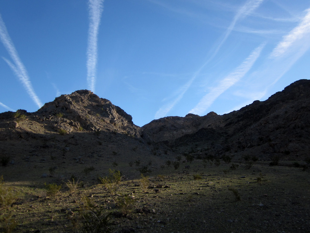
Fotos

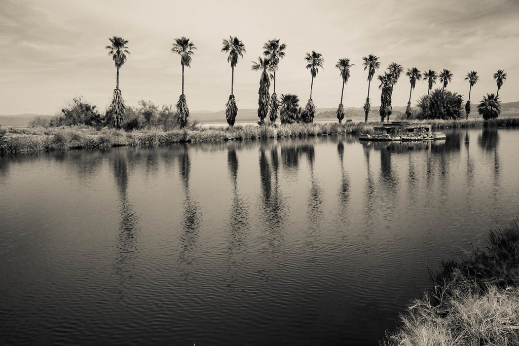
Lake Tuendae at Zzyzx California
Small-0443.jpg
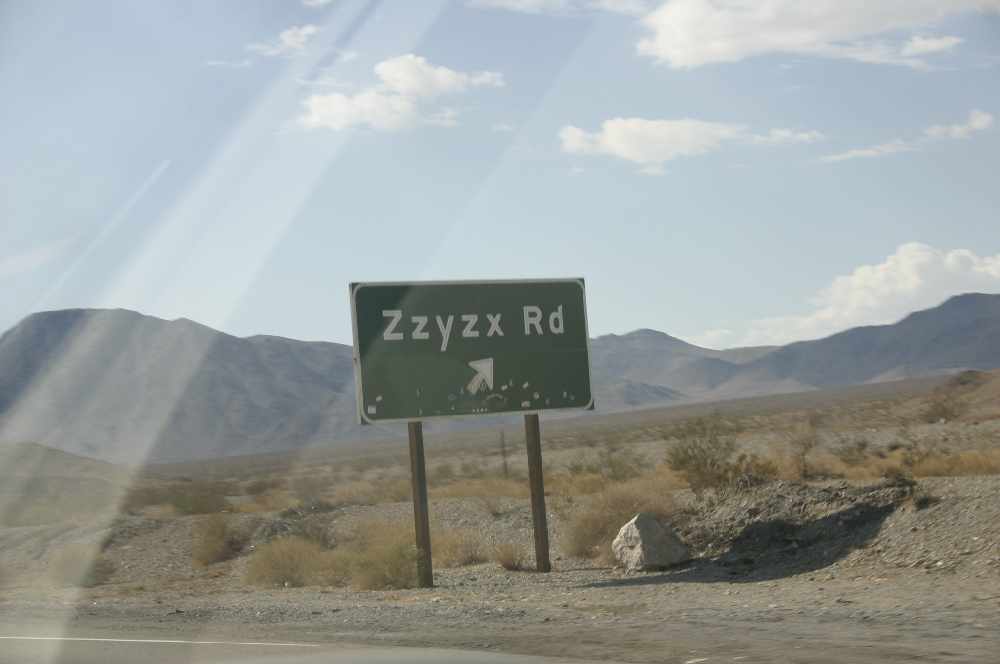
Zzyzx Rd ?? what the hell!?
Almost up
Nerd time!!! #CES #VEGAS

Best. Check ins. Ever.
Epic check ins continue. #mohave #cali
Another great check in.... #road #mohave #desert #cali #caallday

On my way to... I dunno ^^

#mohave #national #preserve #cali
Zzyzx Sunrise 1
Camera Roll-14
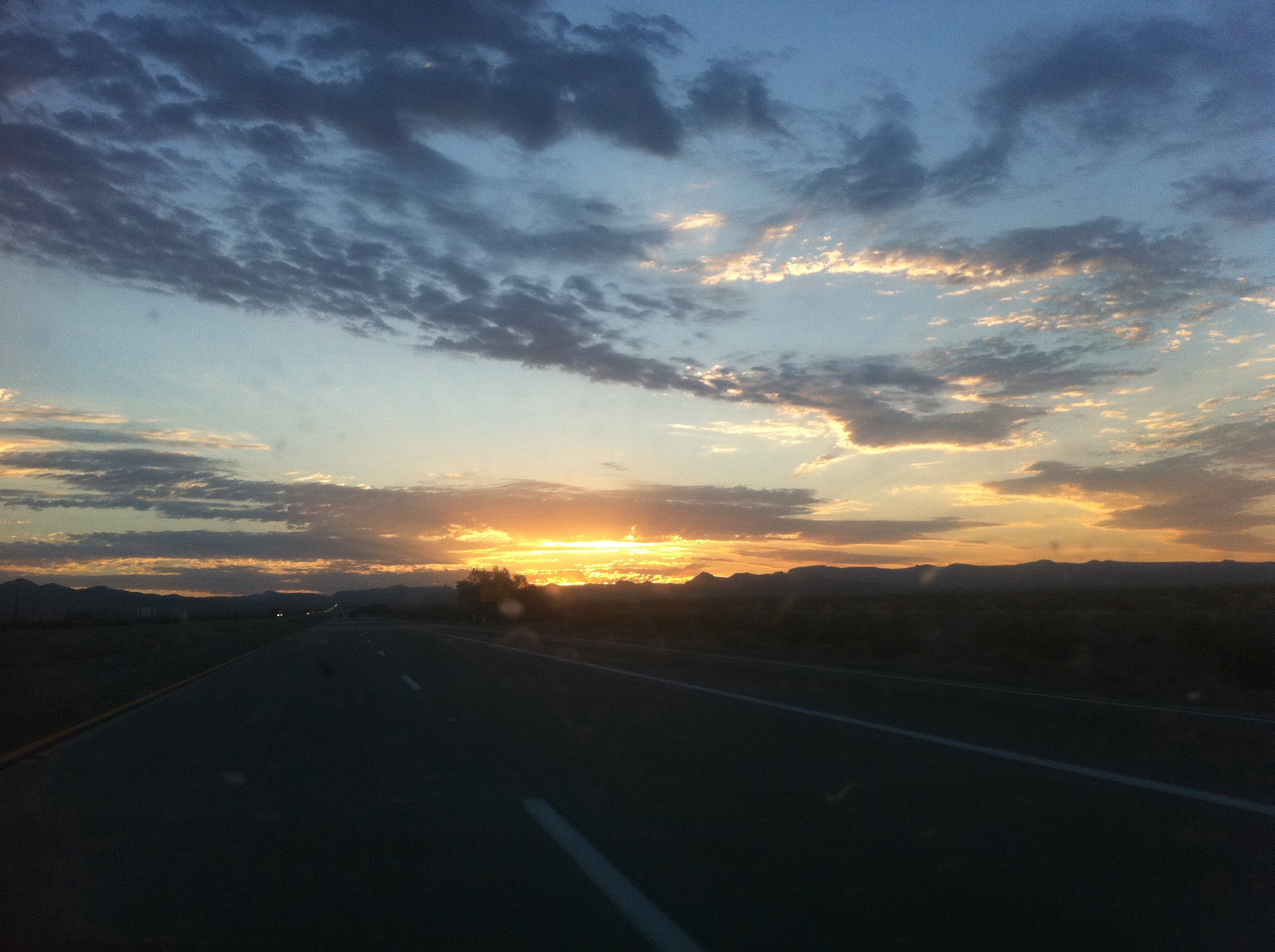
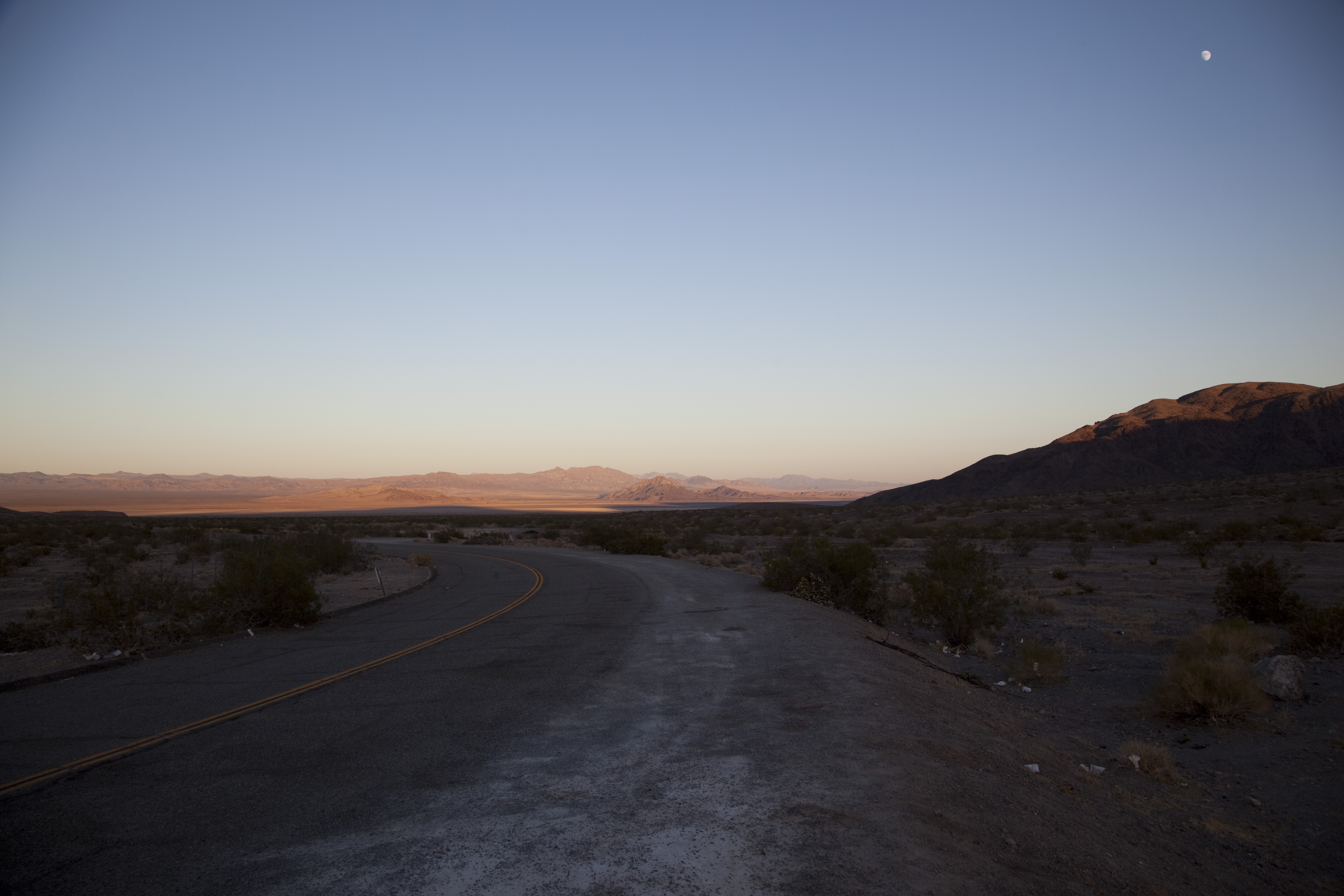
Mojave Sky
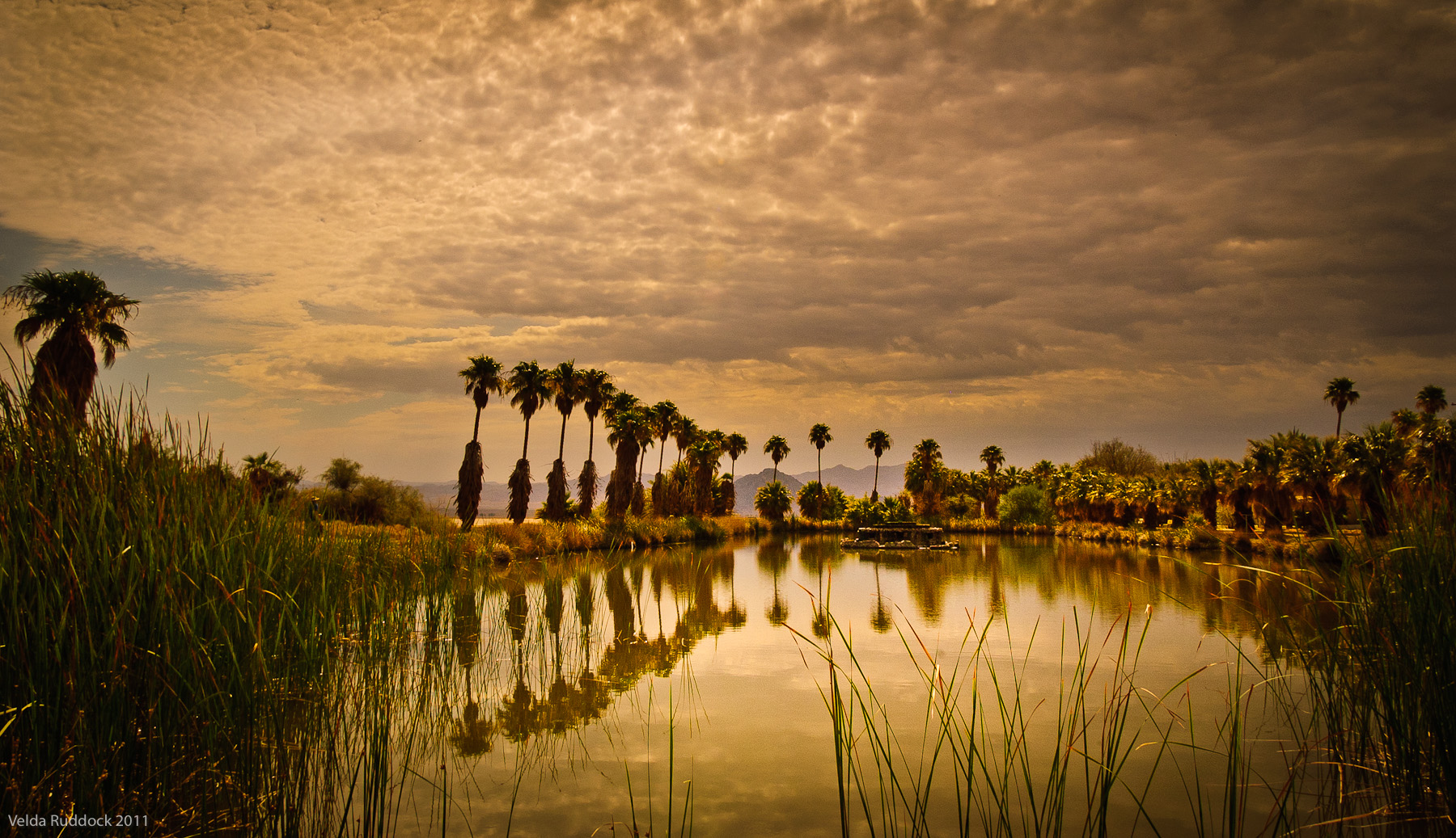
Zzyzx Oasis
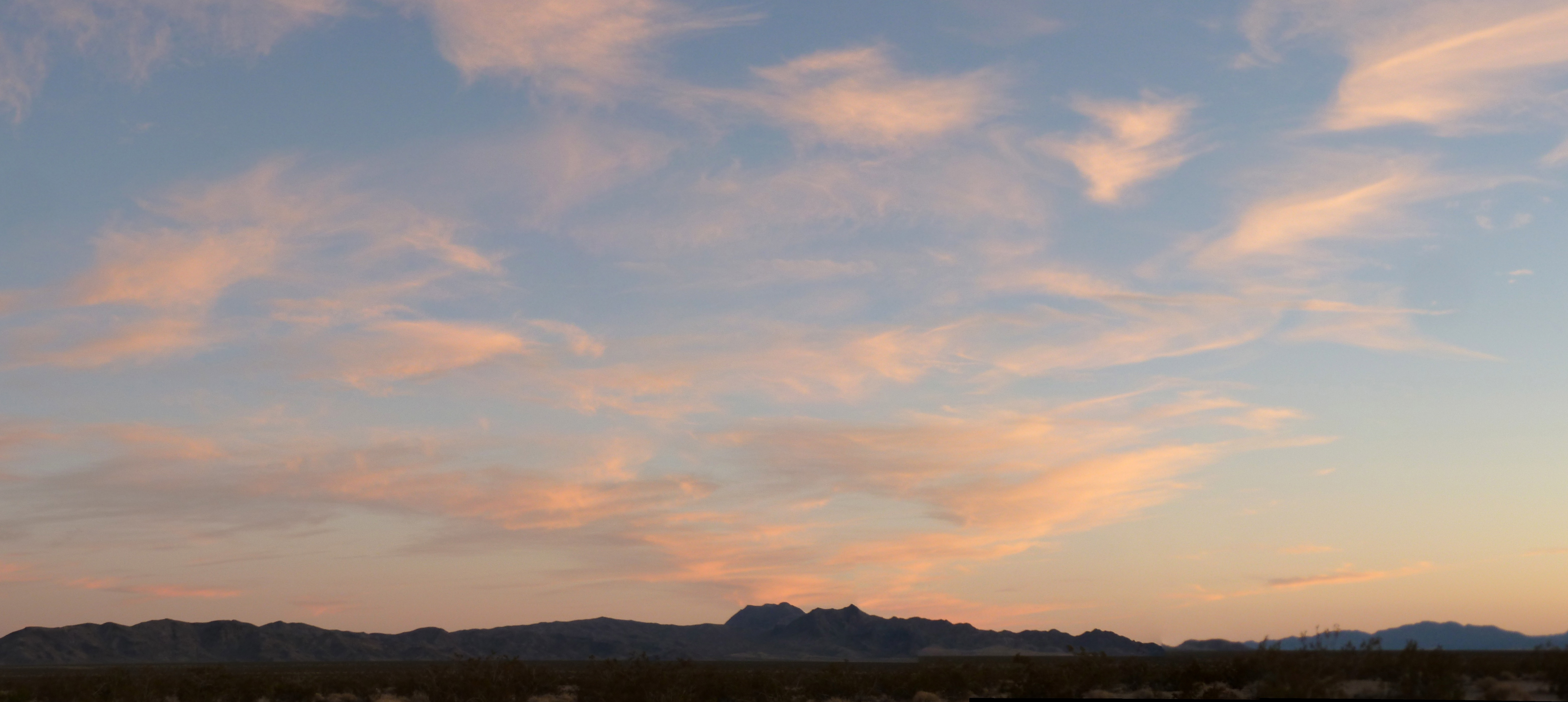
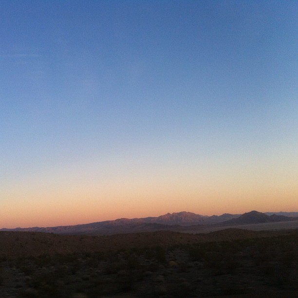
Mojave Sunset
Sunset in Baker
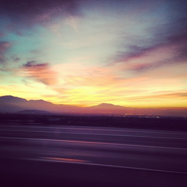
Sunset colours in the Californian desert #nofilter

Painted sunset. #everydaymagic
Sunset on Zzyzx Road

Sunrise Lodge - entrance
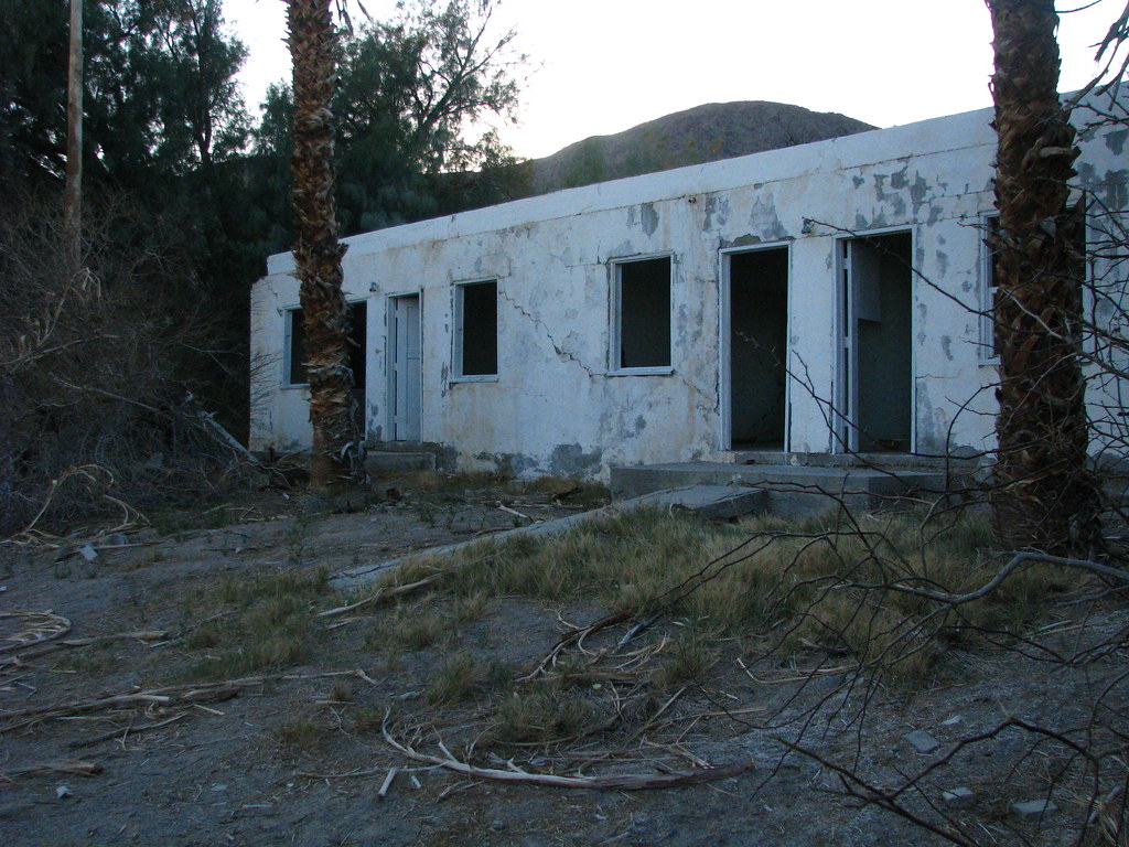
Sunrise Lodge - exterior
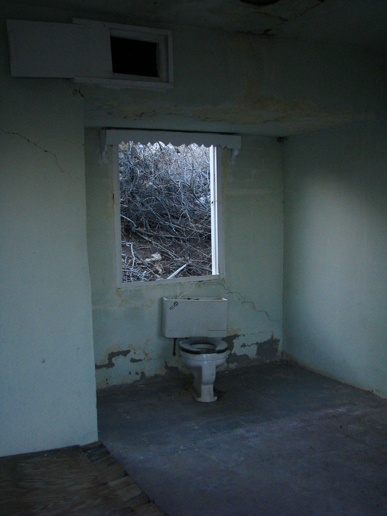
Sunrise Lodge - interior
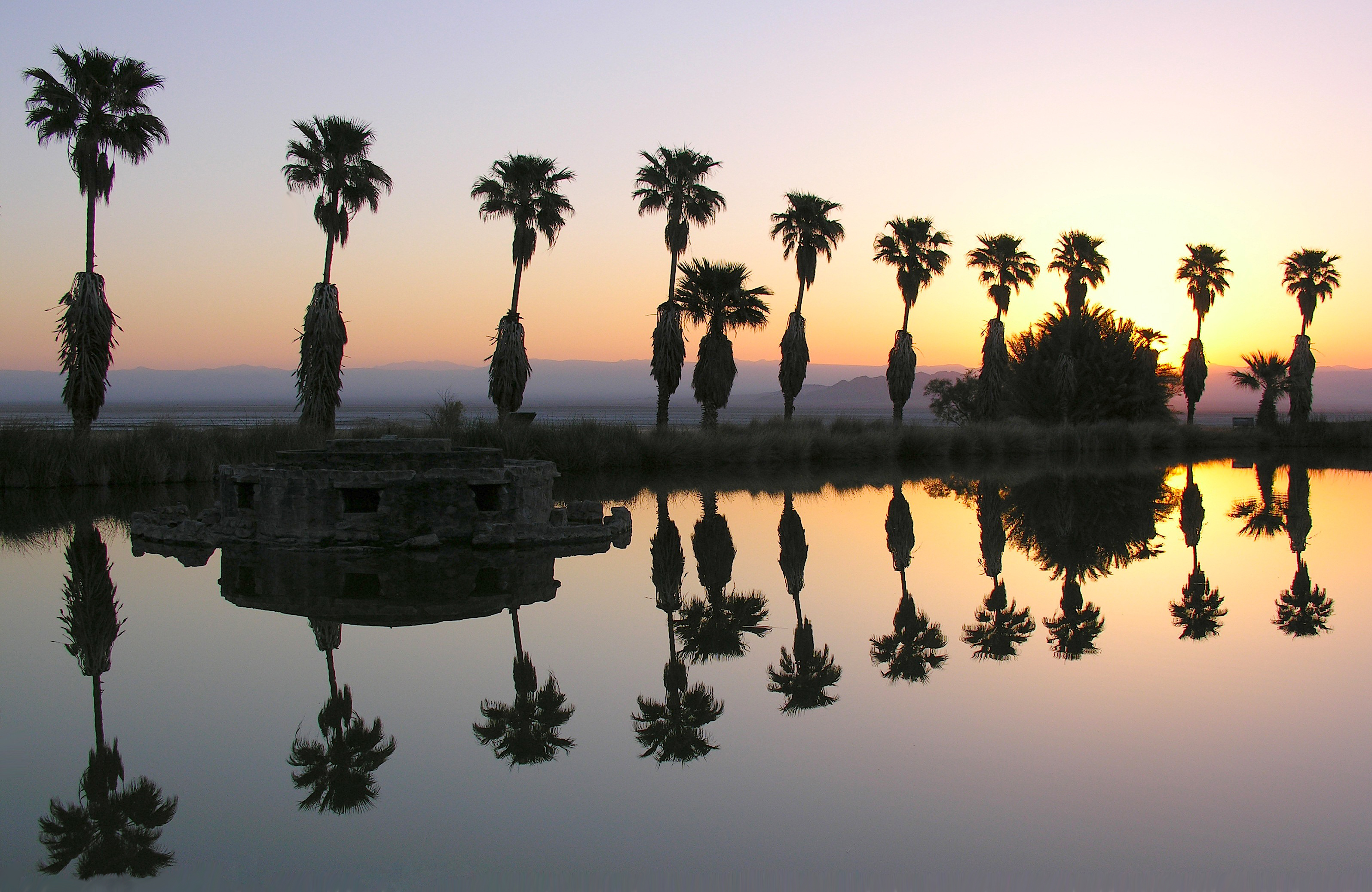
Lake Tuendae - Zzyzx, CA

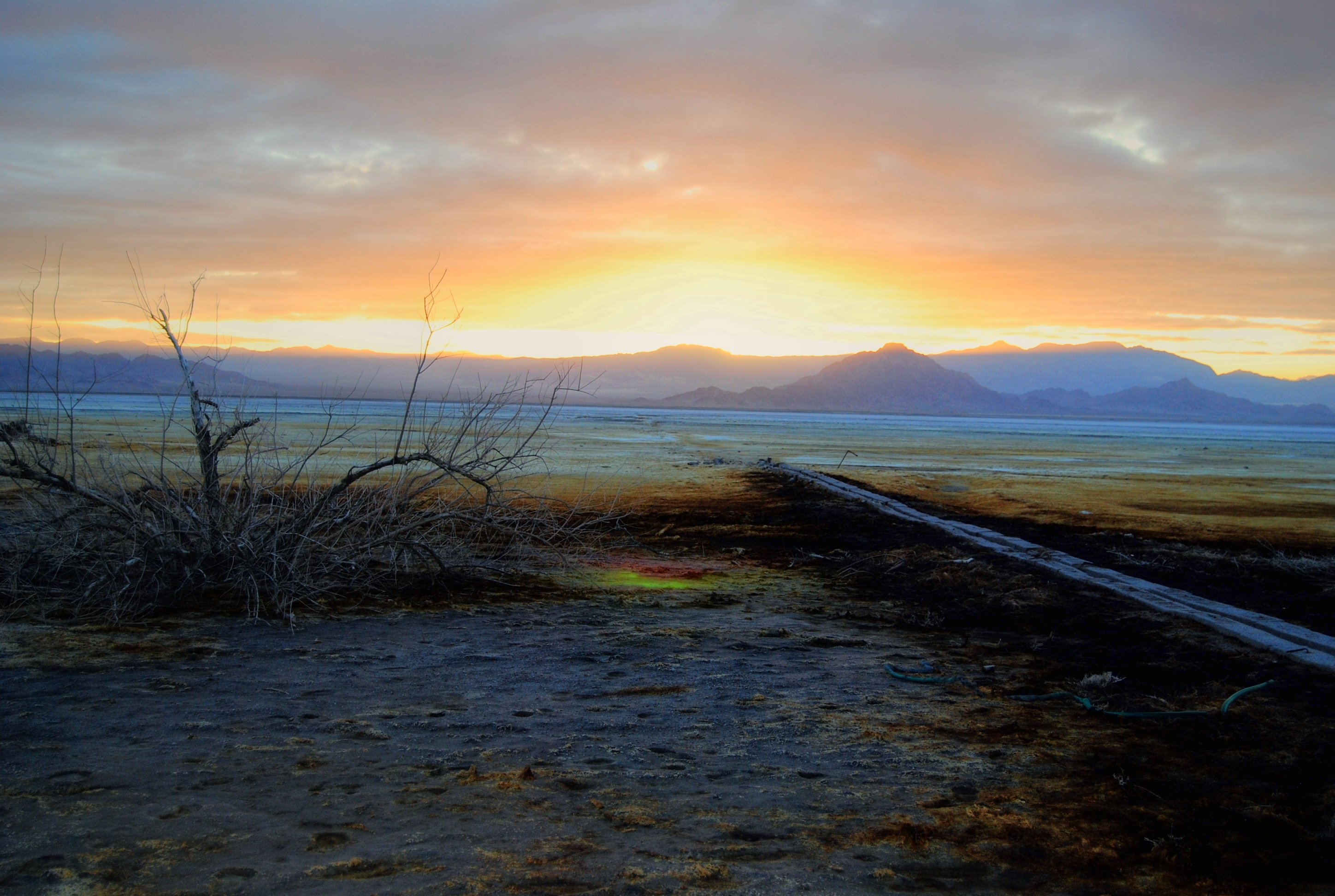
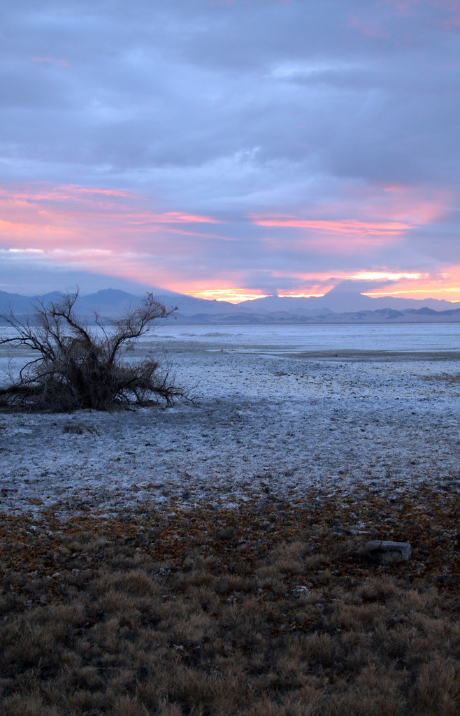
Sunrise over the salt flats
Give Zzyzx Light
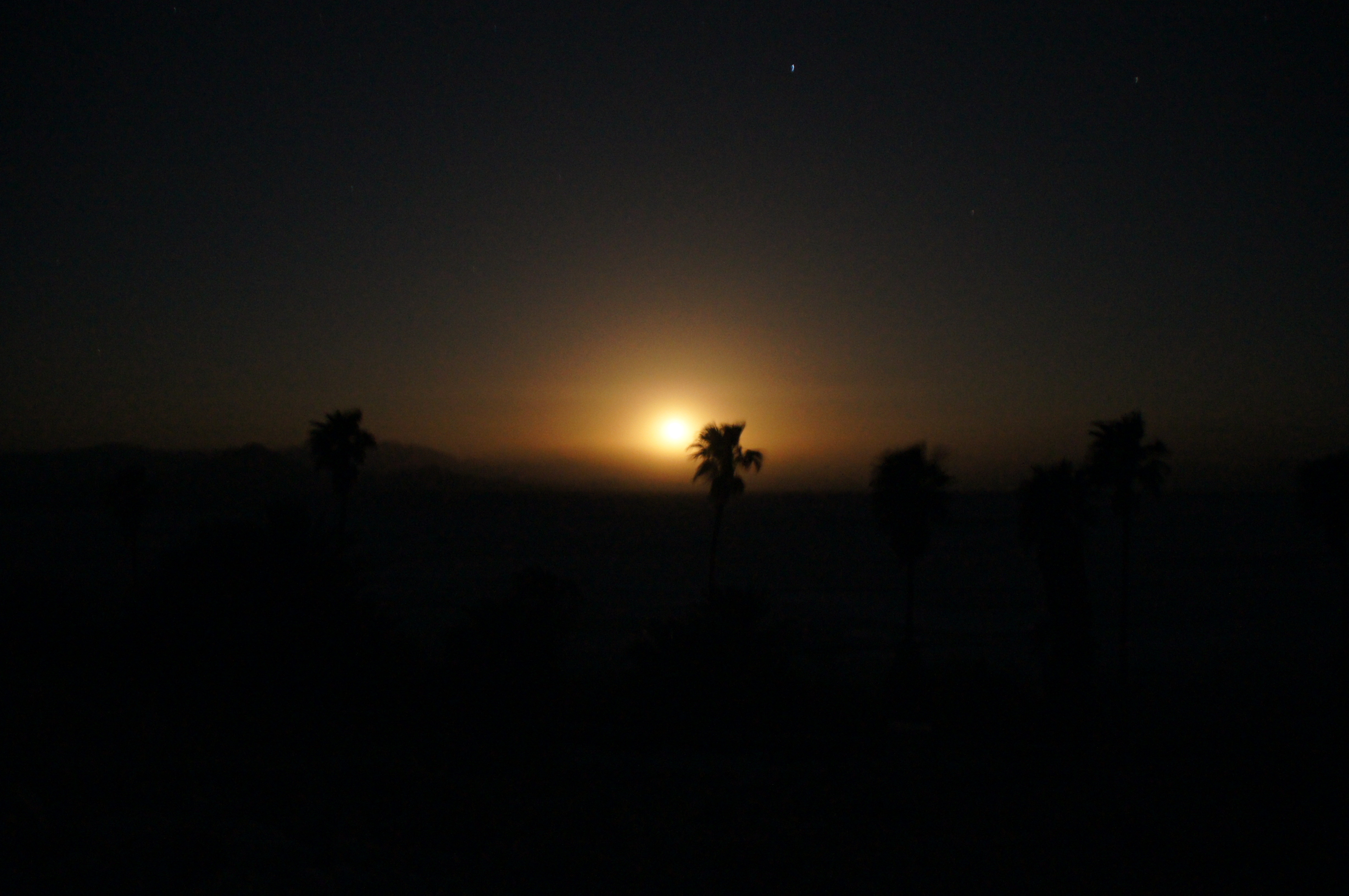
Moonrise.
Sunrise over Soda Lake
Little Cowhole Mountain
Baker, Kalifornien, USA Karte
Suchen Sie einen anderen Ort
Orte in Baker, Kalifornien, USA
Nahe Plätze
Halloran Springs Rd, Barstow, CA, USA
Halloran Springs, CA, USA
Red Pass Lake, California, USA
Atropia Provincial Capitol, Kalifornien, USA
Kingston Peak, California, USA
Mojave Desert, California, USA
Clark Mountain, California, USA
Mescal Range HP, California, USA
Mountain Pass, CA, USA
Mountain Pass, CA, USA
Cima, Kalifornien, USA
Tecopa, CA, USA
National Training Center, Kalifornien, USA
Tecopa Hot Springs Campground & Pools, Co Park, Tecopa, CA, USA
Tecopa Hot Springs, Tecopa, CA, USA
Wheaton Springs, CA, USA
Mercury Ave, Sandy Valley, NV, USA
Potomac St, Sandy Valley, NV, USA
Marble Ave, Sandy Valley, NV, USA
Sandy Valley, Nevada, USA
Letzte Suche
- Center of Research in Astronomy, Astrophysics, and Geophysics, bp - 63 Rte de l'Observatoire, Bouzar Sonnenaufgang Sonnenuntergang Zeiten
- Crocker Dr, Vacaville, CA, USA Sonnenaufgang Sonnenuntergang Zeiten
- Pu Ngaol Community Meeting Hall, HWHM+3X7, Krong Saen Monourom, Cambodia Sonnenaufgang Sonnenuntergang Zeiten
- Pantai Cermin, batu 10, Jalan Pantai, Port Dickson, Melaka, Malaysia Sonnenaufgang Sonnenuntergang Zeiten
- Groblershoop, South Africa Sonnenaufgang Sonnenuntergang Zeiten
- Petriti, Griechenland Sonnenaufgang Sonnenuntergang Zeiten
- Chesaw Rd, Oroville, WA, USA Sonnenaufgang Sonnenuntergang Zeiten
- N, Mt Pleasant, UT, USA Sonnenaufgang Sonnenuntergang Zeiten
- Kawanecho Sasamado, Shimada, Shizuoka -, Japan Sonnenaufgang Sonnenuntergang Zeiten
- 6 Rue Jules Ferry, Beausoleil, Frankreich Sonnenaufgang Sonnenuntergang Zeiten