Sunrise Sunset Times of CA-46, Lost Hills, CA, USA
Location: United States > California > Kern County > Lost Hills >
Timezone:
America/Los_Angeles
Current Time:
2024-04-29 20:12:15
Longitude:
-120.082616
Latitude:
35.672633
Sunrise Today:
06:08:08 AM
Sunset Today:
07:46:43 PM
Daylength Today:
13h 38m 35s
Sunrise Tomorrow:
06:07:04 AM
Sunset Tomorrow:
07:47:33 PM
Daylength Tomorrow:
13h 40m 29s
Year Show All Dates
| Date | Sunrise | Sunset | Daylength |
|---|---|---|---|
| 01/01/2024 | 07:10:05 AM | 04:58:19 PM | 9h 48m 14s |
| 01/02/2024 | 07:10:14 AM | 04:59:06 PM | 9h 48m 52s |
| 01/03/2024 | 07:10:20 AM | 04:59:55 PM | 9h 49m 35s |
| 01/04/2024 | 07:10:24 AM | 05:00:44 PM | 9h 50m 20s |
| 01/05/2024 | 07:10:27 AM | 05:01:35 PM | 9h 51m 8s |
| 01/06/2024 | 07:10:27 AM | 05:02:27 PM | 9h 52m 0s |
| 01/07/2024 | 07:10:26 AM | 05:03:20 PM | 9h 52m 54s |
| 01/08/2024 | 07:10:23 AM | 05:04:13 PM | 9h 53m 50s |
| 01/09/2024 | 07:10:17 AM | 05:05:08 PM | 9h 54m 51s |
| 01/10/2024 | 07:10:10 AM | 05:06:03 PM | 9h 55m 53s |
| 01/11/2024 | 07:10:01 AM | 05:06:59 PM | 9h 56m 58s |
| 01/12/2024 | 07:09:50 AM | 05:07:56 PM | 9h 58m 6s |
| 01/13/2024 | 07:09:36 AM | 05:08:54 PM | 9h 59m 18s |
| 01/14/2024 | 07:09:21 AM | 05:09:52 PM | 10h 0m 31s |
| 01/15/2024 | 07:09:04 AM | 05:10:51 PM | 10h 1m 47s |
| 01/16/2024 | 07:08:45 AM | 05:11:50 PM | 10h 3m 5s |
| 01/17/2024 | 07:08:25 AM | 05:12:50 PM | 10h 4m 25s |
| 01/18/2024 | 07:08:02 AM | 05:13:50 PM | 10h 5m 48s |
| 01/19/2024 | 07:07:37 AM | 05:14:51 PM | 10h 7m 14s |
| 01/20/2024 | 07:07:11 AM | 05:15:52 PM | 10h 8m 41s |
| 01/21/2024 | 07:06:43 AM | 05:16:53 PM | 10h 10m 10s |
| 01/22/2024 | 07:06:13 AM | 05:17:55 PM | 10h 11m 42s |
| 01/23/2024 | 07:05:41 AM | 05:18:57 PM | 10h 13m 16s |
| 01/24/2024 | 07:05:07 AM | 05:19:59 PM | 10h 14m 52s |
| 01/25/2024 | 07:04:32 AM | 05:21:01 PM | 10h 16m 29s |
| 01/26/2024 | 07:03:55 AM | 05:22:03 PM | 10h 18m 8s |
| 01/27/2024 | 07:03:16 AM | 05:23:06 PM | 10h 19m 50s |
| 01/28/2024 | 07:02:36 AM | 05:24:08 PM | 10h 21m 32s |
| 01/29/2024 | 07:01:53 AM | 05:25:11 PM | 10h 23m 18s |
| 01/30/2024 | 07:01:10 AM | 05:26:13 PM | 10h 25m 3s |
| 01/31/2024 | 07:00:24 AM | 05:27:16 PM | 10h 26m 52s |
| 02/01/2024 | 06:59:37 AM | 05:28:18 PM | 10h 28m 41s |
| 02/02/2024 | 06:58:49 AM | 05:29:21 PM | 10h 30m 32s |
| 02/03/2024 | 06:57:59 AM | 05:30:23 PM | 10h 32m 24s |
| 02/04/2024 | 06:57:07 AM | 05:31:25 PM | 10h 34m 18s |
| 02/05/2024 | 06:56:14 AM | 05:32:27 PM | 10h 36m 13s |
| 02/06/2024 | 06:55:20 AM | 05:33:29 PM | 10h 38m 9s |
| 02/07/2024 | 06:54:24 AM | 05:34:30 PM | 10h 40m 6s |
| 02/08/2024 | 06:53:27 AM | 05:35:32 PM | 10h 42m 5s |
| 02/09/2024 | 06:52:29 AM | 05:36:33 PM | 10h 44m 4s |
| 02/10/2024 | 06:51:29 AM | 05:37:34 PM | 10h 46m 5s |
| 02/11/2024 | 06:50:28 AM | 05:38:34 PM | 10h 48m 6s |
| 02/12/2024 | 06:49:26 AM | 05:39:34 PM | 10h 50m 8s |
| 02/13/2024 | 06:48:22 AM | 05:40:35 PM | 10h 52m 13s |
| 02/14/2024 | 06:47:18 AM | 05:41:34 PM | 10h 54m 16s |
| 02/15/2024 | 06:46:12 AM | 05:42:34 PM | 10h 56m 22s |
| 02/16/2024 | 06:45:05 AM | 05:43:33 PM | 10h 58m 28s |
| 02/17/2024 | 06:43:57 AM | 05:44:32 PM | 11h 0m 35s |
| 02/18/2024 | 06:42:48 AM | 05:45:30 PM | 11h 2m 42s |
| 02/19/2024 | 06:41:38 AM | 05:46:28 PM | 11h 4m 50s |
| 02/20/2024 | 06:40:27 AM | 05:47:26 PM | 11h 6m 59s |
| 02/21/2024 | 06:39:15 AM | 05:48:24 PM | 11h 9m 9s |
| 02/22/2024 | 06:38:02 AM | 05:49:21 PM | 11h 11m 19s |
| 02/23/2024 | 06:36:48 AM | 05:50:18 PM | 11h 13m 30s |
| 02/24/2024 | 06:35:33 AM | 05:51:14 PM | 11h 15m 41s |
| 02/25/2024 | 06:34:18 AM | 05:52:10 PM | 11h 17m 52s |
| 02/26/2024 | 06:33:02 AM | 05:53:06 PM | 11h 20m 4s |
| 02/27/2024 | 06:31:45 AM | 05:54:02 PM | 11h 22m 17s |
| 02/28/2024 | 06:30:27 AM | 05:54:57 PM | 11h 24m 30s |
| 02/29/2024 | 06:29:08 AM | 05:55:52 PM | 11h 26m 44s |
| 03/01/2024 | 06:27:49 AM | 05:56:46 PM | 11h 28m 57s |
| 03/02/2024 | 06:26:29 AM | 05:57:41 PM | 11h 31m 12s |
| 03/03/2024 | 06:25:09 AM | 05:58:35 PM | 11h 33m 26s |
| 03/04/2024 | 06:23:48 AM | 05:59:28 PM | 11h 35m 40s |
| 03/05/2024 | 06:22:27 AM | 06:00:22 PM | 11h 37m 55s |
| 03/06/2024 | 06:21:05 AM | 06:01:15 PM | 11h 40m 10s |
| 03/07/2024 | 06:19:42 AM | 06:02:08 PM | 11h 42m 26s |
| 03/08/2024 | 06:18:19 AM | 06:03:00 PM | 11h 44m 41s |
| 03/09/2024 | 06:16:56 AM | 06:03:52 PM | 11h 46m 56s |
| 03/10/2024 | 07:15:36 AM | 07:04:42 PM | 11h 49m 6s |
| 03/11/2024 | 07:14:12 AM | 07:05:34 PM | 11h 51m 22s |
| 03/12/2024 | 07:12:47 AM | 07:06:26 PM | 11h 53m 39s |
| 03/13/2024 | 07:11:23 AM | 07:07:17 PM | 11h 55m 54s |
| 03/14/2024 | 07:09:58 AM | 07:08:08 PM | 11h 58m 10s |
| 03/15/2024 | 07:08:33 AM | 07:08:59 PM | 12h 0m 26s |
| 03/16/2024 | 07:07:07 AM | 07:09:50 PM | 12h 2m 43s |
| 03/17/2024 | 07:05:42 AM | 07:10:41 PM | 12h 4m 59s |
| 03/18/2024 | 07:04:16 AM | 07:11:31 PM | 12h 7m 15s |
| 03/19/2024 | 07:02:50 AM | 07:12:22 PM | 12h 9m 32s |
| 03/20/2024 | 07:01:24 AM | 07:13:12 PM | 12h 11m 48s |
| 03/21/2024 | 06:59:58 AM | 07:14:02 PM | 12h 14m 4s |
| 03/22/2024 | 06:58:32 AM | 07:14:52 PM | 12h 16m 20s |
| 03/23/2024 | 06:57:06 AM | 07:15:42 PM | 12h 18m 36s |
| 03/24/2024 | 06:55:40 AM | 07:16:31 PM | 12h 20m 51s |
| 03/25/2024 | 06:54:14 AM | 07:17:21 PM | 12h 23m 7s |
| 03/26/2024 | 06:52:49 AM | 07:18:11 PM | 12h 25m 22s |
| 03/27/2024 | 06:51:23 AM | 07:19:00 PM | 12h 27m 37s |
| 03/28/2024 | 06:49:57 AM | 07:19:50 PM | 12h 29m 53s |
| 03/29/2024 | 06:48:32 AM | 07:20:39 PM | 12h 32m 7s |
| 03/30/2024 | 06:47:07 AM | 07:21:29 PM | 12h 34m 22s |
| 03/31/2024 | 06:45:42 AM | 07:22:18 PM | 12h 36m 36s |
| 04/01/2024 | 06:44:17 AM | 07:23:07 PM | 12h 38m 50s |
| 04/02/2024 | 06:42:53 AM | 07:23:57 PM | 12h 41m 4s |
| 04/03/2024 | 06:41:29 AM | 07:24:46 PM | 12h 43m 17s |
| 04/04/2024 | 06:40:05 AM | 07:25:36 PM | 12h 45m 31s |
| 04/05/2024 | 06:38:42 AM | 07:26:25 PM | 12h 47m 43s |
| 04/06/2024 | 06:37:19 AM | 07:27:14 PM | 12h 49m 55s |
| 04/07/2024 | 06:35:56 AM | 07:28:04 PM | 12h 52m 8s |
| 04/08/2024 | 06:34:34 AM | 07:28:53 PM | 12h 54m 19s |
| 04/09/2024 | 06:33:13 AM | 07:29:43 PM | 12h 56m 30s |
| 04/10/2024 | 06:31:52 AM | 07:30:33 PM | 12h 58m 41s |
| 04/11/2024 | 06:30:32 AM | 07:31:22 PM | 13h 0m 50s |
| 04/12/2024 | 06:29:12 AM | 07:32:12 PM | 13h 3m 0s |
| 04/13/2024 | 06:27:53 AM | 07:33:02 PM | 13h 5m 9s |
| 04/14/2024 | 06:26:34 AM | 07:33:51 PM | 13h 7m 17s |
| 04/15/2024 | 06:25:16 AM | 07:34:41 PM | 13h 9m 25s |
| 04/16/2024 | 06:23:59 AM | 07:35:31 PM | 13h 11m 32s |
| 04/17/2024 | 06:22:42 AM | 07:36:21 PM | 13h 13m 39s |
| 04/18/2024 | 06:21:27 AM | 07:37:11 PM | 13h 15m 44s |
| 04/19/2024 | 06:20:12 AM | 07:38:01 PM | 13h 17m 49s |
| 04/20/2024 | 06:18:58 AM | 07:38:52 PM | 13h 19m 54s |
| 04/21/2024 | 06:17:44 AM | 07:39:42 PM | 13h 21m 58s |
| 04/22/2024 | 06:16:32 AM | 07:40:32 PM | 13h 24m 0s |
| 04/23/2024 | 06:15:21 AM | 07:41:22 PM | 13h 26m 1s |
| 04/24/2024 | 06:14:10 AM | 07:42:13 PM | 13h 28m 3s |
| 04/25/2024 | 06:13:00 AM | 07:43:03 PM | 13h 30m 3s |
| 04/26/2024 | 06:11:52 AM | 07:43:53 PM | 13h 32m 1s |
| 04/27/2024 | 06:10:44 AM | 07:44:44 PM | 13h 34m 0s |
| 04/28/2024 | 06:09:38 AM | 07:45:34 PM | 13h 35m 56s |
| 04/29/2024 | 06:08:32 AM | 07:46:24 PM | 13h 37m 52s |
| 04/30/2024 | 06:07:28 AM | 07:47:15 PM | 13h 39m 47s |
| 05/01/2024 | 06:06:25 AM | 07:48:05 PM | 13h 41m 40s |
| 05/02/2024 | 06:05:23 AM | 07:48:55 PM | 13h 43m 32s |
| 05/03/2024 | 06:04:22 AM | 07:49:45 PM | 13h 45m 23s |
| 05/04/2024 | 06:03:22 AM | 07:50:35 PM | 13h 47m 13s |
| 05/05/2024 | 06:02:24 AM | 07:51:25 PM | 13h 49m 1s |
| 05/06/2024 | 06:01:27 AM | 07:52:15 PM | 13h 50m 48s |
| 05/07/2024 | 06:00:31 AM | 07:53:05 PM | 13h 52m 34s |
| 05/08/2024 | 05:59:36 AM | 07:53:54 PM | 13h 54m 18s |
| 05/09/2024 | 05:58:43 AM | 07:54:43 PM | 13h 56m 0s |
| 05/10/2024 | 05:57:51 AM | 07:55:32 PM | 13h 57m 41s |
| 05/11/2024 | 05:57:00 AM | 07:56:21 PM | 13h 59m 21s |
| 05/12/2024 | 05:56:11 AM | 07:57:10 PM | 14h 0m 59s |
| 05/13/2024 | 05:55:24 AM | 07:57:58 PM | 14h 2m 34s |
| 05/14/2024 | 05:54:37 AM | 07:58:46 PM | 14h 4m 9s |
| 05/15/2024 | 05:53:53 AM | 07:59:34 PM | 14h 5m 41s |
| 05/16/2024 | 05:53:09 AM | 08:00:21 PM | 14h 7m 12s |
| 05/17/2024 | 05:52:28 AM | 08:01:08 PM | 14h 8m 40s |
| 05/18/2024 | 05:51:47 AM | 08:01:54 PM | 14h 10m 7s |
| 05/19/2024 | 05:51:09 AM | 08:02:40 PM | 14h 11m 31s |
| 05/20/2024 | 05:50:32 AM | 08:03:26 PM | 14h 12m 54s |
| 05/21/2024 | 05:49:56 AM | 08:04:11 PM | 14h 14m 15s |
| 05/22/2024 | 05:49:22 AM | 08:04:55 PM | 14h 15m 33s |
| 05/23/2024 | 05:48:50 AM | 08:05:39 PM | 14h 16m 49s |
| 05/24/2024 | 05:48:19 AM | 08:06:22 PM | 14h 18m 3s |
| 05/25/2024 | 05:47:50 AM | 08:07:04 PM | 14h 19m 14s |
| 05/26/2024 | 05:47:23 AM | 08:07:46 PM | 14h 20m 23s |
| 05/27/2024 | 05:46:57 AM | 08:08:27 PM | 14h 21m 30s |
| 05/28/2024 | 05:46:33 AM | 08:09:07 PM | 14h 22m 34s |
| 05/29/2024 | 05:46:11 AM | 08:09:47 PM | 14h 23m 36s |
| 05/30/2024 | 05:45:50 AM | 08:10:25 PM | 14h 24m 35s |
| 05/31/2024 | 05:45:31 AM | 08:11:03 PM | 14h 25m 32s |
| 06/01/2024 | 05:45:13 AM | 08:11:40 PM | 14h 26m 27s |
| 06/02/2024 | 05:44:58 AM | 08:12:15 PM | 14h 27m 17s |
| 06/03/2024 | 05:44:44 AM | 08:12:50 PM | 14h 28m 6s |
| 06/04/2024 | 05:44:32 AM | 08:13:24 PM | 14h 28m 52s |
| 06/05/2024 | 05:44:21 AM | 08:13:57 PM | 14h 29m 36s |
| 06/06/2024 | 05:44:12 AM | 08:14:28 PM | 14h 30m 16s |
| 06/07/2024 | 05:44:05 AM | 08:14:58 PM | 14h 30m 53s |
| 06/08/2024 | 05:43:59 AM | 08:15:28 PM | 14h 31m 29s |
| 06/09/2024 | 05:43:55 AM | 08:15:56 PM | 14h 32m 1s |
| 06/10/2024 | 05:43:53 AM | 08:16:23 PM | 14h 32m 30s |
| 06/11/2024 | 05:43:52 AM | 08:16:48 PM | 14h 32m 56s |
| 06/12/2024 | 05:43:53 AM | 08:17:12 PM | 14h 33m 19s |
| 06/13/2024 | 05:43:56 AM | 08:17:35 PM | 14h 33m 39s |
| 06/14/2024 | 05:44:00 AM | 08:17:57 PM | 14h 33m 57s |
| 06/15/2024 | 05:44:06 AM | 08:18:17 PM | 14h 34m 11s |
| 06/16/2024 | 05:44:14 AM | 08:18:35 PM | 14h 34m 21s |
| 06/17/2024 | 05:44:22 AM | 08:18:53 PM | 14h 34m 31s |
| 06/18/2024 | 05:44:33 AM | 08:19:08 PM | 14h 34m 35s |
| 06/19/2024 | 05:44:45 AM | 08:19:22 PM | 14h 34m 37s |
| 06/20/2024 | 05:44:58 AM | 08:19:35 PM | 14h 34m 37s |
| 06/21/2024 | 05:45:13 AM | 08:19:46 PM | 14h 34m 33s |
| 06/22/2024 | 05:45:30 AM | 08:19:56 PM | 14h 34m 26s |
| 06/23/2024 | 05:45:47 AM | 08:20:04 PM | 14h 34m 17s |
| 06/24/2024 | 05:46:07 AM | 08:20:10 PM | 14h 34m 3s |
| 06/25/2024 | 05:46:27 AM | 08:20:15 PM | 14h 33m 48s |
| 06/26/2024 | 05:46:49 AM | 08:20:18 PM | 14h 33m 29s |
| 06/27/2024 | 05:47:12 AM | 08:20:19 PM | 14h 33m 7s |
| 06/28/2024 | 05:47:36 AM | 08:20:19 PM | 14h 32m 43s |
| 06/29/2024 | 05:48:02 AM | 08:20:16 PM | 14h 32m 14s |
| 06/30/2024 | 05:48:29 AM | 08:20:13 PM | 14h 31m 44s |
| 07/01/2024 | 05:48:56 AM | 08:20:07 PM | 14h 31m 11s |
| 07/02/2024 | 05:49:25 AM | 08:20:00 PM | 14h 30m 35s |
| 07/03/2024 | 05:49:56 AM | 08:19:51 PM | 14h 29m 55s |
| 07/04/2024 | 05:50:27 AM | 08:19:41 PM | 14h 29m 14s |
| 07/05/2024 | 05:50:59 AM | 08:19:28 PM | 14h 28m 29s |
| 07/06/2024 | 05:51:32 AM | 08:19:14 PM | 14h 27m 42s |
| 07/07/2024 | 05:52:06 AM | 08:18:58 PM | 14h 26m 52s |
| 07/08/2024 | 05:52:41 AM | 08:18:41 PM | 14h 26m 0s |
| 07/09/2024 | 05:53:17 AM | 08:18:22 PM | 14h 25m 5s |
| 07/10/2024 | 05:53:54 AM | 08:18:01 PM | 14h 24m 7s |
| 07/11/2024 | 05:54:31 AM | 08:17:38 PM | 14h 23m 7s |
| 07/12/2024 | 05:55:09 AM | 08:17:14 PM | 14h 22m 5s |
| 07/13/2024 | 05:55:48 AM | 08:16:47 PM | 14h 20m 59s |
| 07/14/2024 | 05:56:28 AM | 08:16:20 PM | 14h 19m 52s |
| 07/15/2024 | 05:57:08 AM | 08:15:50 PM | 14h 18m 42s |
| 07/16/2024 | 05:57:49 AM | 08:15:19 PM | 14h 17m 30s |
| 07/17/2024 | 05:58:31 AM | 08:14:46 PM | 14h 16m 15s |
| 07/18/2024 | 05:59:13 AM | 08:14:12 PM | 14h 14m 59s |
| 07/19/2024 | 05:59:55 AM | 08:13:36 PM | 14h 13m 41s |
| 07/20/2024 | 06:00:38 AM | 08:12:58 PM | 14h 12m 20s |
| 07/21/2024 | 06:01:22 AM | 08:12:19 PM | 14h 10m 57s |
| 07/22/2024 | 06:02:06 AM | 08:11:38 PM | 14h 9m 32s |
| 07/23/2024 | 06:02:50 AM | 08:10:55 PM | 14h 8m 5s |
| 07/24/2024 | 06:03:34 AM | 08:10:12 PM | 14h 6m 38s |
| 07/25/2024 | 06:04:19 AM | 08:09:26 PM | 14h 5m 7s |
| 07/26/2024 | 06:05:05 AM | 08:08:39 PM | 14h 3m 34s |
| 07/27/2024 | 06:05:50 AM | 08:07:51 PM | 14h 2m 1s |
| 07/28/2024 | 06:06:36 AM | 08:07:01 PM | 14h 0m 25s |
| 07/29/2024 | 06:07:22 AM | 08:06:09 PM | 13h 58m 47s |
| 07/30/2024 | 06:08:08 AM | 08:05:17 PM | 13h 57m 9s |
| 07/31/2024 | 06:08:54 AM | 08:04:22 PM | 13h 55m 28s |
| 08/01/2024 | 06:09:41 AM | 08:03:27 PM | 13h 53m 46s |
| 08/02/2024 | 06:10:27 AM | 08:02:30 PM | 13h 52m 3s |
| 08/03/2024 | 06:11:14 AM | 08:01:32 PM | 13h 50m 18s |
| 08/04/2024 | 06:12:01 AM | 08:00:33 PM | 13h 48m 32s |
| 08/05/2024 | 06:12:48 AM | 07:59:32 PM | 13h 46m 44s |
| 08/06/2024 | 06:13:35 AM | 07:58:30 PM | 13h 44m 55s |
| 08/07/2024 | 06:14:22 AM | 07:57:27 PM | 13h 43m 5s |
| 08/08/2024 | 06:15:09 AM | 07:56:22 PM | 13h 41m 13s |
| 08/09/2024 | 06:15:56 AM | 07:55:17 PM | 13h 39m 21s |
| 08/10/2024 | 06:16:43 AM | 07:54:10 PM | 13h 37m 27s |
| 08/11/2024 | 06:17:30 AM | 07:53:03 PM | 13h 35m 33s |
| 08/12/2024 | 06:18:16 AM | 07:51:54 PM | 13h 33m 38s |
| 08/13/2024 | 06:19:03 AM | 07:50:44 PM | 13h 31m 41s |
| 08/14/2024 | 06:19:50 AM | 07:49:33 PM | 13h 29m 43s |
| 08/15/2024 | 06:20:37 AM | 07:48:22 PM | 13h 27m 45s |
| 08/16/2024 | 06:21:24 AM | 07:47:09 PM | 13h 25m 45s |
| 08/17/2024 | 06:22:10 AM | 07:45:55 PM | 13h 23m 45s |
| 08/18/2024 | 06:22:57 AM | 07:44:40 PM | 13h 21m 43s |
| 08/19/2024 | 06:23:43 AM | 07:43:25 PM | 13h 19m 42s |
| 08/20/2024 | 06:24:30 AM | 07:42:09 PM | 13h 17m 39s |
| 08/21/2024 | 06:25:16 AM | 07:40:52 PM | 13h 15m 36s |
| 08/22/2024 | 06:26:02 AM | 07:39:34 PM | 13h 13m 32s |
| 08/23/2024 | 06:26:48 AM | 07:38:15 PM | 13h 11m 27s |
| 08/24/2024 | 06:27:34 AM | 07:36:56 PM | 13h 9m 22s |
| 08/25/2024 | 06:28:20 AM | 07:35:35 PM | 13h 7m 15s |
| 08/26/2024 | 06:29:06 AM | 07:34:15 PM | 13h 5m 9s |
| 08/27/2024 | 06:29:52 AM | 07:32:53 PM | 13h 3m 1s |
| 08/28/2024 | 06:30:37 AM | 07:31:31 PM | 13h 0m 54s |
| 08/29/2024 | 06:31:23 AM | 07:30:09 PM | 12h 58m 46s |
| 08/30/2024 | 06:32:08 AM | 07:28:45 PM | 12h 56m 37s |
| 08/31/2024 | 06:32:54 AM | 07:27:22 PM | 12h 54m 28s |
| 09/01/2024 | 06:33:39 AM | 07:25:58 PM | 12h 52m 19s |
| 09/02/2024 | 06:34:25 AM | 07:24:33 PM | 12h 50m 8s |
| 09/03/2024 | 06:35:10 AM | 07:23:08 PM | 12h 47m 58s |
| 09/04/2024 | 06:35:55 AM | 07:21:42 PM | 12h 45m 47s |
| 09/05/2024 | 06:36:40 AM | 07:20:16 PM | 12h 43m 36s |
| 09/06/2024 | 06:37:25 AM | 07:18:50 PM | 12h 41m 25s |
| 09/07/2024 | 06:38:10 AM | 07:17:23 PM | 12h 39m 13s |
| 09/08/2024 | 06:38:55 AM | 07:15:57 PM | 12h 37m 2s |
| 09/09/2024 | 06:39:41 AM | 07:14:29 PM | 12h 34m 48s |
| 09/10/2024 | 06:40:26 AM | 07:13:02 PM | 12h 32m 36s |
| 09/11/2024 | 06:41:11 AM | 07:11:34 PM | 12h 30m 23s |
| 09/12/2024 | 06:41:56 AM | 07:10:07 PM | 12h 28m 11s |
| 09/13/2024 | 06:42:41 AM | 07:08:39 PM | 12h 25m 58s |
| 09/14/2024 | 06:43:26 AM | 07:07:11 PM | 12h 23m 45s |
| 09/15/2024 | 06:44:12 AM | 07:05:42 PM | 12h 21m 30s |
| 09/16/2024 | 06:44:57 AM | 07:04:14 PM | 12h 19m 17s |
| 09/17/2024 | 06:45:42 AM | 07:02:46 PM | 12h 17m 4s |
| 09/18/2024 | 06:46:28 AM | 07:01:17 PM | 12h 14m 49s |
| 09/19/2024 | 06:47:14 AM | 06:59:49 PM | 12h 12m 35s |
| 09/20/2024 | 06:47:59 AM | 06:58:21 PM | 12h 10m 22s |
| 09/21/2024 | 06:48:45 AM | 06:56:53 PM | 12h 8m 8s |
| 09/22/2024 | 06:49:31 AM | 06:55:25 PM | 12h 5m 54s |
| 09/23/2024 | 06:50:17 AM | 06:53:57 PM | 12h 3m 40s |
| 09/24/2024 | 06:51:04 AM | 06:52:29 PM | 12h 1m 25s |
| 09/25/2024 | 06:51:50 AM | 06:51:01 PM | 11h 59m 11s |
| 09/26/2024 | 06:52:37 AM | 06:49:34 PM | 11h 56m 57s |
| 09/27/2024 | 06:53:24 AM | 06:48:07 PM | 11h 54m 43s |
| 09/28/2024 | 06:54:11 AM | 06:46:40 PM | 11h 52m 29s |
| 09/29/2024 | 06:54:58 AM | 06:45:14 PM | 11h 50m 16s |
| 09/30/2024 | 06:55:46 AM | 06:43:47 PM | 11h 48m 1s |
| 10/01/2024 | 06:56:34 AM | 06:42:22 PM | 11h 45m 48s |
| 10/02/2024 | 06:57:22 AM | 06:40:56 PM | 11h 43m 34s |
| 10/03/2024 | 06:58:10 AM | 06:39:31 PM | 11h 41m 21s |
| 10/04/2024 | 06:58:59 AM | 06:38:07 PM | 11h 39m 8s |
| 10/05/2024 | 06:59:48 AM | 06:36:43 PM | 11h 36m 55s |
| 10/06/2024 | 07:00:37 AM | 06:35:19 PM | 11h 34m 42s |
| 10/07/2024 | 07:01:26 AM | 06:33:56 PM | 11h 32m 30s |
| 10/08/2024 | 07:02:16 AM | 06:32:34 PM | 11h 30m 18s |
| 10/09/2024 | 07:03:06 AM | 06:31:12 PM | 11h 28m 6s |
| 10/10/2024 | 07:03:57 AM | 06:29:51 PM | 11h 25m 54s |
| 10/11/2024 | 07:04:48 AM | 06:28:30 PM | 11h 23m 42s |
| 10/12/2024 | 07:05:39 AM | 06:27:10 PM | 11h 21m 31s |
| 10/13/2024 | 07:06:30 AM | 06:25:51 PM | 11h 19m 21s |
| 10/14/2024 | 07:07:22 AM | 06:24:33 PM | 11h 17m 11s |
| 10/15/2024 | 07:08:14 AM | 06:23:16 PM | 11h 15m 2s |
| 10/16/2024 | 07:09:07 AM | 06:21:59 PM | 11h 12m 52s |
| 10/17/2024 | 07:10:00 AM | 06:20:43 PM | 11h 10m 43s |
| 10/18/2024 | 07:10:53 AM | 06:19:28 PM | 11h 8m 35s |
| 10/19/2024 | 07:11:46 AM | 06:18:14 PM | 11h 6m 28s |
| 10/20/2024 | 07:12:40 AM | 06:17:01 PM | 11h 4m 21s |
| 10/21/2024 | 07:13:35 AM | 06:15:49 PM | 11h 2m 14s |
| 10/22/2024 | 07:14:29 AM | 06:14:38 PM | 11h 0m 9s |
| 10/23/2024 | 07:15:25 AM | 06:13:28 PM | 10h 58m 3s |
| 10/24/2024 | 07:16:20 AM | 06:12:19 PM | 10h 55m 59s |
| 10/25/2024 | 07:17:16 AM | 06:11:12 PM | 10h 53m 56s |
| 10/26/2024 | 07:18:12 AM | 06:10:05 PM | 10h 51m 53s |
| 10/27/2024 | 07:19:08 AM | 06:08:59 PM | 10h 49m 51s |
| 10/28/2024 | 07:20:05 AM | 06:07:55 PM | 10h 47m 50s |
| 10/29/2024 | 07:21:02 AM | 06:06:52 PM | 10h 45m 50s |
| 10/30/2024 | 07:21:59 AM | 06:05:50 PM | 10h 43m 51s |
| 10/31/2024 | 07:22:57 AM | 06:04:50 PM | 10h 41m 53s |
| 11/01/2024 | 07:23:55 AM | 06:03:51 PM | 10h 39m 56s |
| 11/02/2024 | 07:24:53 AM | 06:02:53 PM | 10h 38m 0s |
| 11/03/2024 | 06:25:54 AM | 05:01:55 PM | 10h 36m 1s |
| 11/04/2024 | 06:26:52 AM | 05:01:00 PM | 10h 34m 8s |
| 11/05/2024 | 06:27:51 AM | 05:00:06 PM | 10h 32m 15s |
| 11/06/2024 | 06:28:50 AM | 04:59:14 PM | 10h 30m 24s |
| 11/07/2024 | 06:29:50 AM | 04:58:24 PM | 10h 28m 34s |
| 11/08/2024 | 06:30:49 AM | 04:57:35 PM | 10h 26m 46s |
| 11/09/2024 | 06:31:48 AM | 04:56:48 PM | 10h 25m 0s |
| 11/10/2024 | 06:32:48 AM | 04:56:02 PM | 10h 23m 14s |
| 11/11/2024 | 06:33:48 AM | 04:55:18 PM | 10h 21m 30s |
| 11/12/2024 | 06:34:47 AM | 04:54:36 PM | 10h 19m 49s |
| 11/13/2024 | 06:35:47 AM | 04:53:55 PM | 10h 18m 8s |
| 11/14/2024 | 06:36:46 AM | 04:53:17 PM | 10h 16m 31s |
| 11/15/2024 | 06:37:46 AM | 04:52:39 PM | 10h 14m 53s |
| 11/16/2024 | 06:38:46 AM | 04:52:04 PM | 10h 13m 18s |
| 11/17/2024 | 06:39:45 AM | 04:51:30 PM | 10h 11m 45s |
| 11/18/2024 | 06:40:44 AM | 04:50:58 PM | 10h 10m 14s |
| 11/19/2024 | 06:41:43 AM | 04:50:28 PM | 10h 8m 45s |
| 11/20/2024 | 06:42:42 AM | 04:50:00 PM | 10h 7m 18s |
| 11/21/2024 | 06:43:40 AM | 04:49:34 PM | 10h 5m 54s |
| 11/22/2024 | 06:44:38 AM | 04:49:10 PM | 10h 4m 32s |
| 11/23/2024 | 06:45:36 AM | 04:48:47 PM | 10h 3m 11s |
| 11/24/2024 | 06:46:33 AM | 04:48:27 PM | 10h 1m 54s |
| 11/25/2024 | 06:47:30 AM | 04:48:08 PM | 10h 0m 38s |
| 11/26/2024 | 06:48:27 AM | 04:47:51 PM | 9h 59m 24s |
| 11/27/2024 | 06:49:23 AM | 04:47:37 PM | 9h 58m 14s |
| 11/28/2024 | 06:50:18 AM | 04:47:24 PM | 9h 57m 6s |
| 11/29/2024 | 06:51:12 AM | 04:47:13 PM | 9h 56m 1s |
| 11/30/2024 | 06:52:06 AM | 04:47:05 PM | 9h 54m 59s |
| 12/01/2024 | 06:52:59 AM | 04:46:58 PM | 9h 53m 59s |
| 12/02/2024 | 06:53:52 AM | 04:46:53 PM | 9h 53m 1s |
| 12/03/2024 | 06:54:43 AM | 04:46:50 PM | 9h 52m 7s |
| 12/04/2024 | 06:55:34 AM | 04:46:50 PM | 9h 51m 16s |
| 12/05/2024 | 06:56:24 AM | 04:46:51 PM | 9h 50m 27s |
| 12/06/2024 | 06:57:13 AM | 04:46:54 PM | 9h 49m 41s |
| 12/07/2024 | 06:58:00 AM | 04:46:59 PM | 9h 48m 59s |
| 12/08/2024 | 06:58:47 AM | 04:47:06 PM | 9h 48m 19s |
| 12/09/2024 | 06:59:32 AM | 04:47:15 PM | 9h 47m 43s |
| 12/10/2024 | 07:00:17 AM | 04:47:26 PM | 9h 47m 9s |
| 12/11/2024 | 07:01:00 AM | 04:47:39 PM | 9h 46m 39s |
| 12/12/2024 | 07:01:42 AM | 04:47:54 PM | 9h 46m 12s |
| 12/13/2024 | 07:02:22 AM | 04:48:11 PM | 9h 45m 49s |
| 12/14/2024 | 07:03:01 AM | 04:48:30 PM | 9h 45m 29s |
| 12/15/2024 | 07:03:39 AM | 04:48:50 PM | 9h 45m 11s |
| 12/16/2024 | 07:04:16 AM | 04:49:13 PM | 9h 44m 57s |
| 12/17/2024 | 07:04:50 AM | 04:49:37 PM | 9h 44m 47s |
| 12/18/2024 | 07:05:24 AM | 04:50:03 PM | 9h 44m 39s |
| 12/19/2024 | 07:05:56 AM | 04:50:31 PM | 9h 44m 35s |
| 12/20/2024 | 07:06:26 AM | 04:51:00 PM | 9h 44m 34s |
| 12/21/2024 | 07:06:54 AM | 04:51:31 PM | 9h 44m 37s |
| 12/22/2024 | 07:07:21 AM | 04:52:04 PM | 9h 44m 43s |
| 12/23/2024 | 07:07:46 AM | 04:52:39 PM | 9h 44m 53s |
| 12/24/2024 | 07:08:10 AM | 04:53:15 PM | 9h 45m 5s |
| 12/25/2024 | 07:08:31 AM | 04:53:52 PM | 9h 45m 21s |
| 12/26/2024 | 07:08:51 AM | 04:54:31 PM | 9h 45m 40s |
| 12/27/2024 | 07:09:09 AM | 04:55:12 PM | 9h 46m 3s |
| 12/28/2024 | 07:09:26 AM | 04:55:54 PM | 9h 46m 28s |
| 12/29/2024 | 07:09:40 AM | 04:56:37 PM | 9h 46m 57s |
| 12/30/2024 | 07:09:52 AM | 04:57:21 PM | 9h 47m 29s |
Sunrise & Sunset Photos

Pyramid Hills (1518)

Pyramid Hills (1517)
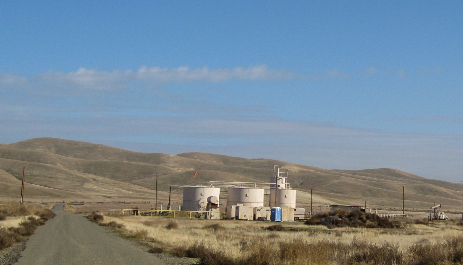
Pyramid Hills, CA oil (0689)
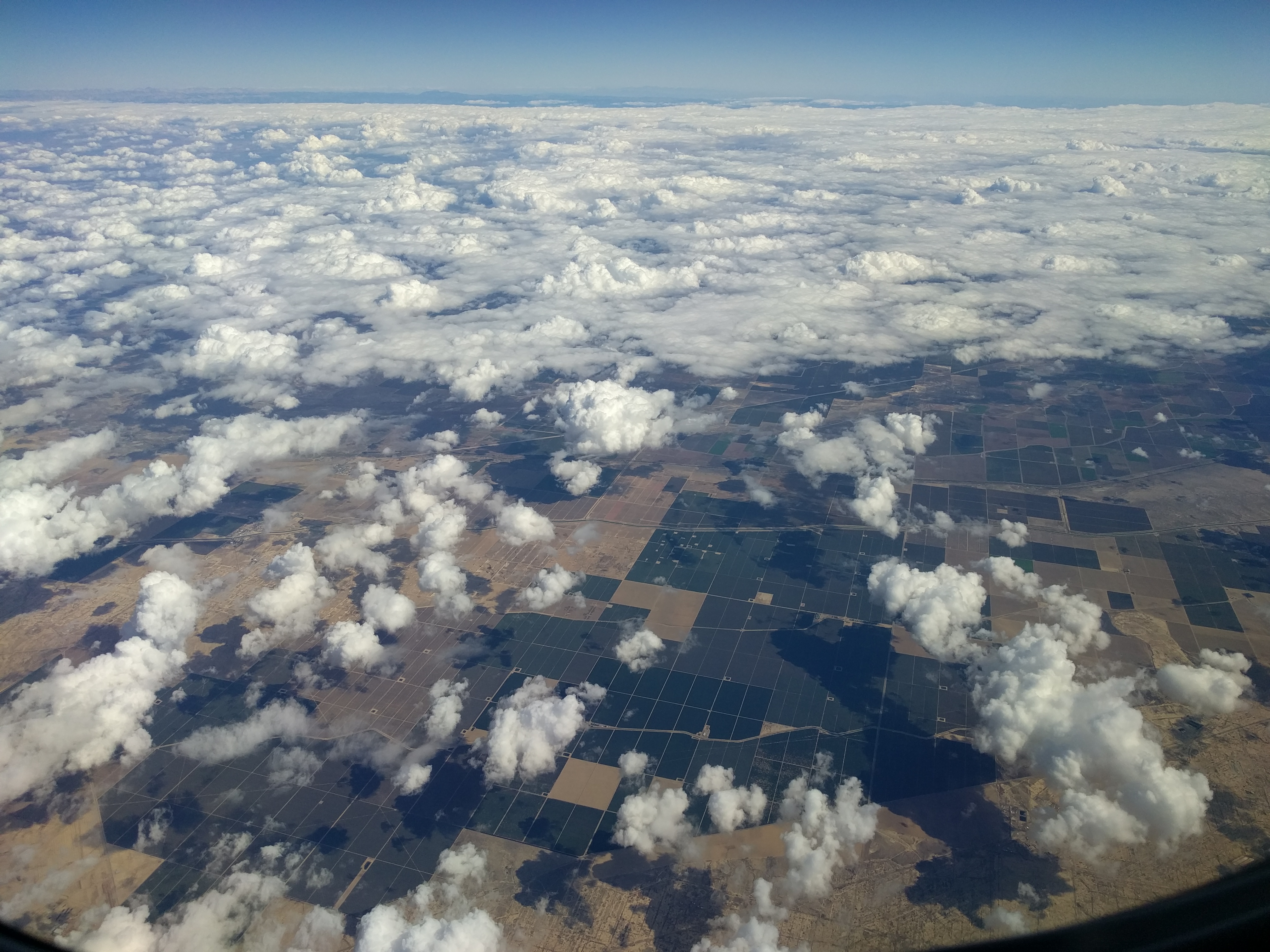
California from above

"I used the remote and 1+1 is 11."
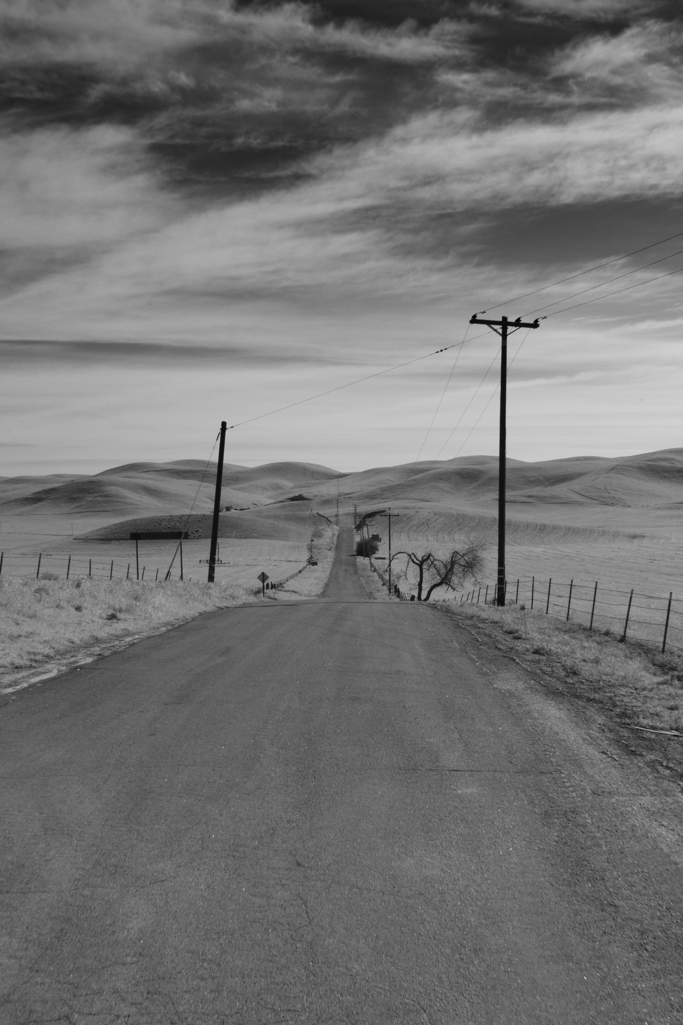
Bitterwater Road IR
Central Valley, CA
150615-1330KettlemanCA
Shadow play

april 2000. California (CA-41) near Cholame

Cruisin Under the Milky Way

Recently Added-107
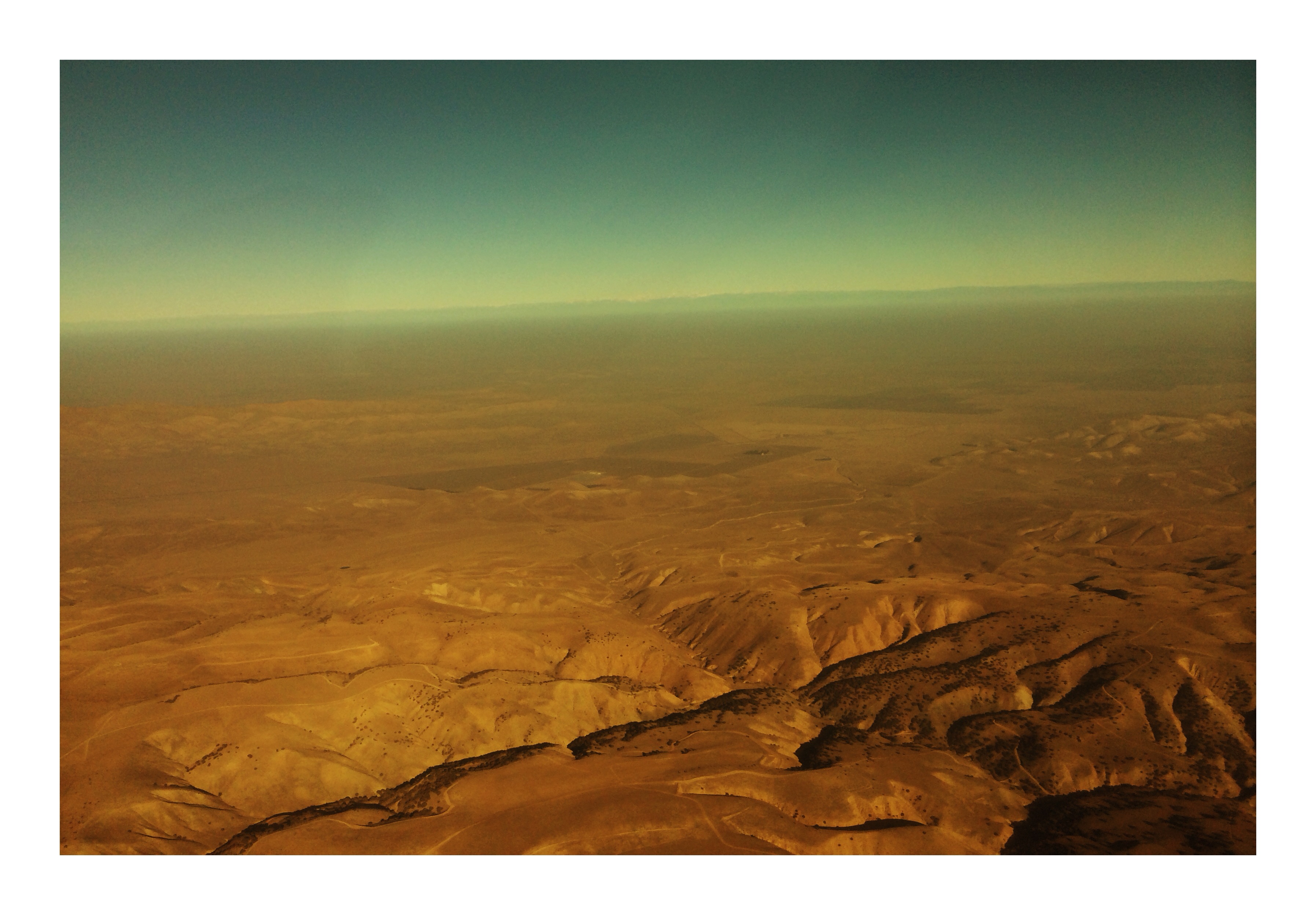
Dry California
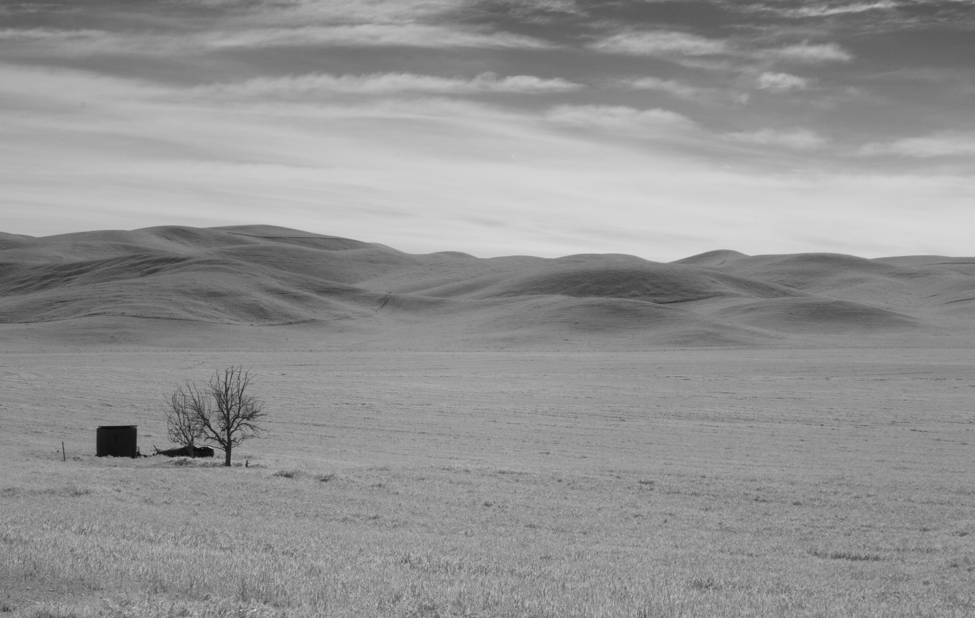
Middle of Nowhere
Bitterwater Rd 2

#SuzanneMoon ???????? did very well on her second ((LONG)) #roadtrip ???????????? #igdaily #babies #babygirl #mysweetbabygirl
For @jesse_robles_ @lalane @cesarba420 #roadtrip #blackandwhite #igdaily #latergram #california
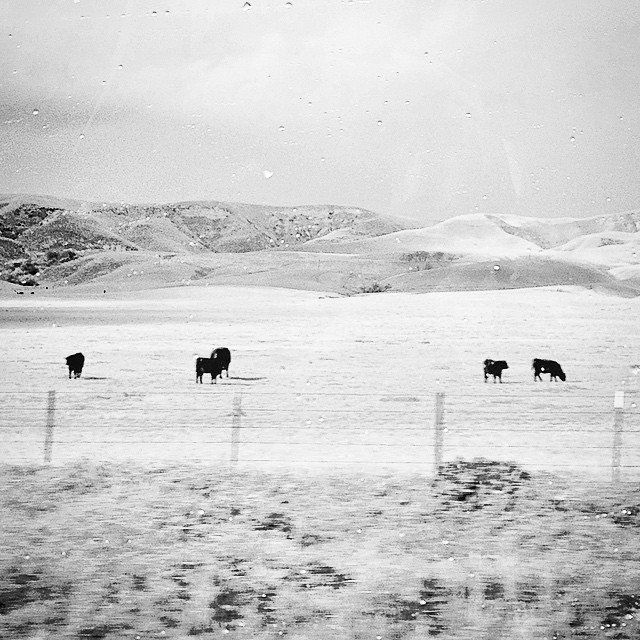
????Cows???? #roadtrip #igdaily #blackandwhite #moo #silhouette #ranch #farms #farmanimals
Keck's Corner
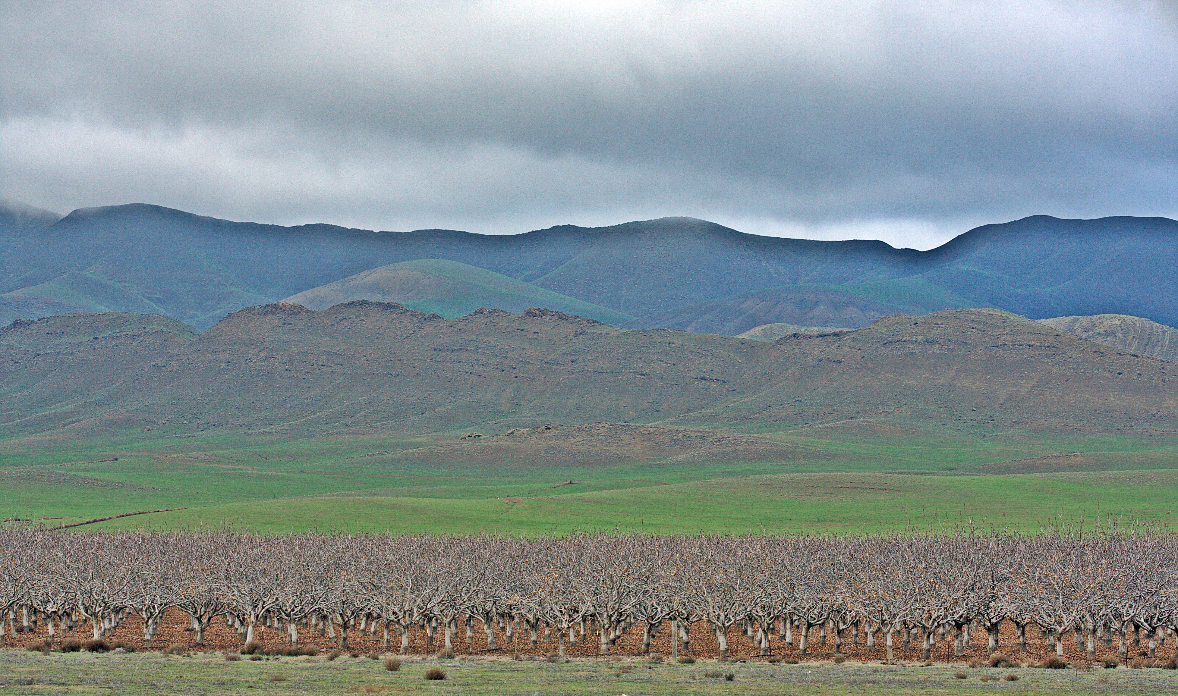
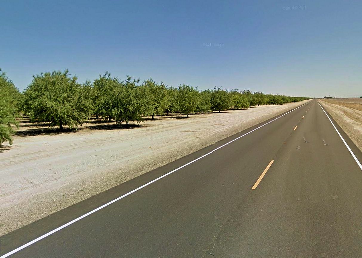
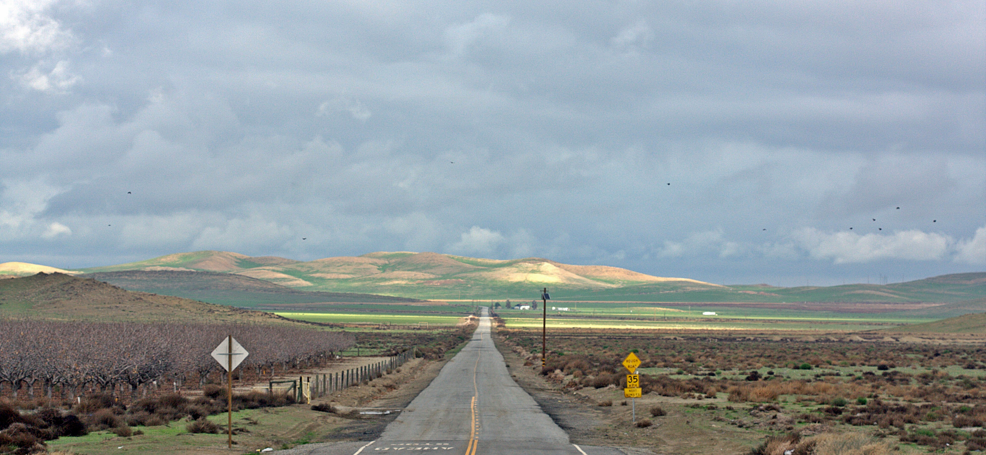
Almond Trees

Along Highway 46

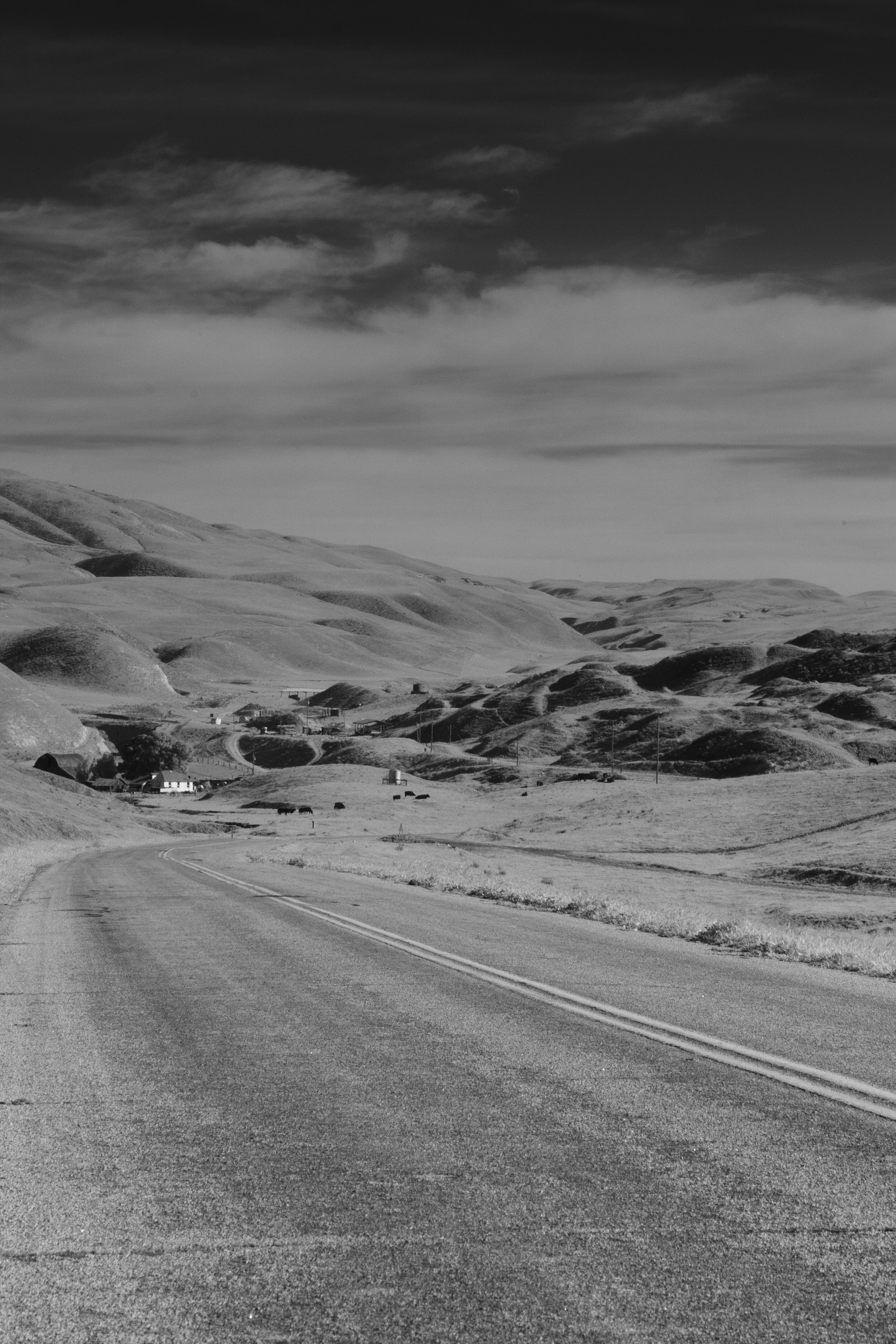
Lost Hills
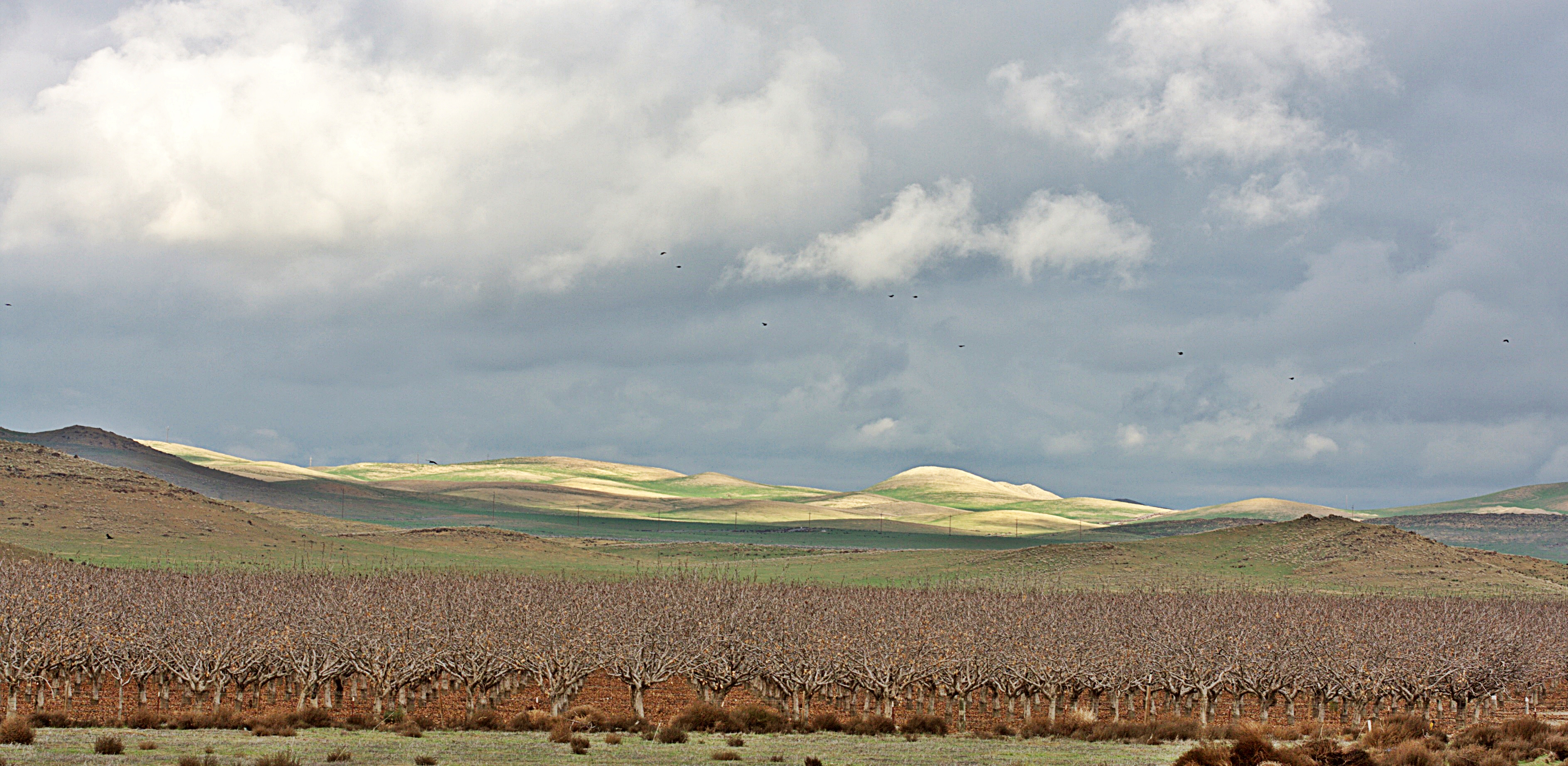
Almonds, Lost Hills, California.
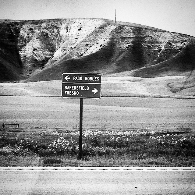
Heading to Paso Robles
CA-46, Lost Hills, CA, USA Map
Search another place
Near Places
California 46, CA-46, California, USA
2 Annette Rd, Shandon, CA, USA
Cammatti Shandon Rd, Shandon, CA, USA
Cholame, CA, USA
CA-46, Shandon, CA, USA
CA-33, Kettleman City, CA, USA
Blackwells Corner, CA, USA
CA-46, Lost Hills, CA, USA
Topaz Solar Farm, Helios Way, Santa Margarita, CA, USA
Shell Creek Road, Shell Creek Rd, California, USA
Shandon, CA, USA
E Centre St, Shandon, CA, USA
Skyline Blvd, Avenal, CA, USA
Hydril Rd, Avenal, CA, USA
Avenal, CA, USA
Carrisa Hwy, Santa Margarita, CA, USA
La Panza, CA, USA
Kettleman City, CA, USA
Soda Lake Rd, Santa Margarita, CA, USA
Lost Hills, CA, USA
Recent Searches
- Sunrise Sunset Times of Leguwa, Nepal
- Sunrise Sunset Times of Shustino, Vladimir Oblast, Russia
- Sunrise Sunset Times of Lampiasi St, Sarasota, FL, USA
- Sunrise Sunset Times of Japan, 〒- Toyama, Kubomotomachi, 12−31 APAガーデンコート稲荷
- Sunrise Sunset Times of Jialuohu, Datong Township, Yilan County, Taiwan
- Sunrise Sunset Times of 大下港, Sekizenoge, Imabari, Ehime -, Japan
- Sunrise Sunset Times of Oge port Ferry Terminal, -1 Sekizenōge, Imabari, Ehime -, Japan
- Sunrise Sunset Times of San Telmo, Buenos Aires, Argentina
- Sunrise Sunset Times of Congressional Dr, Stevensville, MD, USA
- Sunrise Sunset Times of Papingo 04, Greece