Sunrise Sunset Times of Bucks Bar Rd, Placerville, CA, USA
Location: United States > California > El Dorado County > Placerville >
Timezone:
America/Los_Angeles
Current Time:
2024-05-01 00:51:07
Longitude:
-120.6967539
Latitude:
38.6513354
Sunrise Today:
06:04:01 AM
Sunset Today:
07:55:32 PM
Daylength Today:
13h 51m 31s
Sunrise Tomorrow:
06:02:51 AM
Sunset Tomorrow:
07:56:29 PM
Daylength Tomorrow:
13h 53m 38s
Year Show All Dates
| Date | Sunrise | Sunset | Daylength |
|---|---|---|---|
| 01/01/2024 | 07:20:41 AM | 04:52:39 PM | 9h 31m 58s |
| 01/02/2024 | 07:20:46 AM | 04:53:28 PM | 9h 32m 42s |
| 01/03/2024 | 07:20:50 AM | 04:54:20 PM | 9h 33m 30s |
| 01/04/2024 | 07:20:52 AM | 04:55:12 PM | 9h 34m 20s |
| 01/05/2024 | 07:20:51 AM | 04:56:06 PM | 9h 35m 15s |
| 01/06/2024 | 07:20:48 AM | 04:57:01 PM | 9h 36m 13s |
| 01/07/2024 | 07:20:43 AM | 04:57:57 PM | 9h 37m 14s |
| 01/08/2024 | 07:20:36 AM | 04:58:55 PM | 9h 38m 19s |
| 01/09/2024 | 07:20:27 AM | 04:59:53 PM | 9h 39m 26s |
| 01/10/2024 | 07:20:16 AM | 05:00:52 PM | 9h 40m 36s |
| 01/11/2024 | 07:20:03 AM | 05:01:52 PM | 9h 41m 49s |
| 01/12/2024 | 07:19:47 AM | 05:02:54 PM | 9h 43m 7s |
| 01/13/2024 | 07:19:30 AM | 05:03:56 PM | 9h 44m 26s |
| 01/14/2024 | 07:19:10 AM | 05:04:58 PM | 9h 45m 48s |
| 01/15/2024 | 07:18:48 AM | 05:06:02 PM | 9h 47m 14s |
| 01/16/2024 | 07:18:24 AM | 05:07:06 PM | 9h 48m 42s |
| 01/17/2024 | 07:17:59 AM | 05:08:11 PM | 9h 50m 12s |
| 01/18/2024 | 07:17:31 AM | 05:09:16 PM | 9h 51m 45s |
| 01/19/2024 | 07:17:01 AM | 05:10:22 PM | 9h 53m 21s |
| 01/20/2024 | 07:16:29 AM | 05:11:29 PM | 9h 55m 0s |
| 01/21/2024 | 07:15:55 AM | 05:12:36 PM | 9h 56m 41s |
| 01/22/2024 | 07:15:20 AM | 05:13:43 PM | 9h 58m 23s |
| 01/23/2024 | 07:14:42 AM | 05:14:50 PM | 10h 0m 8s |
| 01/24/2024 | 07:14:03 AM | 05:15:58 PM | 10h 1m 55s |
| 01/25/2024 | 07:13:21 AM | 05:17:07 PM | 10h 3m 46s |
| 01/26/2024 | 07:12:38 AM | 05:18:15 PM | 10h 5m 37s |
| 01/27/2024 | 07:11:53 AM | 05:19:24 PM | 10h 7m 31s |
| 01/28/2024 | 07:11:06 AM | 05:20:32 PM | 10h 9m 26s |
| 01/29/2024 | 07:10:18 AM | 05:21:41 PM | 10h 11m 23s |
| 01/30/2024 | 07:09:28 AM | 05:22:50 PM | 10h 13m 22s |
| 01/31/2024 | 07:08:36 AM | 05:23:59 PM | 10h 15m 23s |
| 02/01/2024 | 07:07:42 AM | 05:25:08 PM | 10h 17m 26s |
| 02/02/2024 | 07:06:47 AM | 05:26:17 PM | 10h 19m 30s |
| 02/03/2024 | 07:05:50 AM | 05:27:26 PM | 10h 21m 36s |
| 02/04/2024 | 07:04:52 AM | 05:28:35 PM | 10h 23m 43s |
| 02/05/2024 | 07:03:52 AM | 05:29:44 PM | 10h 25m 52s |
| 02/06/2024 | 07:02:51 AM | 05:30:53 PM | 10h 28m 2s |
| 02/07/2024 | 07:01:48 AM | 05:32:01 PM | 10h 30m 13s |
| 02/08/2024 | 07:00:44 AM | 05:33:10 PM | 10h 32m 26s |
| 02/09/2024 | 06:59:38 AM | 05:34:18 PM | 10h 34m 40s |
| 02/10/2024 | 06:58:31 AM | 05:35:26 PM | 10h 36m 55s |
| 02/11/2024 | 06:57:23 AM | 05:36:34 PM | 10h 39m 11s |
| 02/12/2024 | 06:56:14 AM | 05:37:41 PM | 10h 41m 27s |
| 02/13/2024 | 06:55:03 AM | 05:38:49 PM | 10h 43m 46s |
| 02/14/2024 | 06:53:51 AM | 05:39:56 PM | 10h 46m 5s |
| 02/15/2024 | 06:52:38 AM | 05:41:02 PM | 10h 48m 24s |
| 02/16/2024 | 06:51:23 AM | 05:42:09 PM | 10h 50m 46s |
| 02/17/2024 | 06:50:08 AM | 05:43:15 PM | 10h 53m 7s |
| 02/18/2024 | 06:48:52 AM | 05:44:21 PM | 10h 55m 29s |
| 02/19/2024 | 06:47:34 AM | 05:45:27 PM | 10h 57m 53s |
| 02/20/2024 | 06:46:15 AM | 05:46:32 PM | 11h 0m 17s |
| 02/21/2024 | 06:44:56 AM | 05:47:37 PM | 11h 2m 41s |
| 02/22/2024 | 06:43:35 AM | 05:48:42 PM | 11h 5m 7s |
| 02/23/2024 | 06:42:14 AM | 05:49:46 PM | 11h 7m 32s |
| 02/24/2024 | 06:40:52 AM | 05:50:51 PM | 11h 9m 59s |
| 02/25/2024 | 06:39:29 AM | 05:51:54 PM | 11h 12m 25s |
| 02/26/2024 | 06:38:05 AM | 05:52:58 PM | 11h 14m 53s |
| 02/27/2024 | 06:36:40 AM | 05:54:01 PM | 11h 17m 21s |
| 02/28/2024 | 06:35:15 AM | 05:55:04 PM | 11h 19m 49s |
| 02/29/2024 | 06:33:49 AM | 05:56:06 PM | 11h 22m 17s |
| 03/01/2024 | 06:32:22 AM | 05:57:09 PM | 11h 24m 47s |
| 03/02/2024 | 06:30:54 AM | 05:58:11 PM | 11h 27m 17s |
| 03/03/2024 | 06:29:26 AM | 05:59:12 PM | 11h 29m 46s |
| 03/04/2024 | 06:27:58 AM | 06:00:14 PM | 11h 32m 16s |
| 03/05/2024 | 06:26:28 AM | 06:01:15 PM | 11h 34m 47s |
| 03/06/2024 | 06:24:59 AM | 06:02:16 PM | 11h 37m 17s |
| 03/07/2024 | 06:23:28 AM | 06:03:16 PM | 11h 39m 48s |
| 03/08/2024 | 06:21:58 AM | 06:04:17 PM | 11h 42m 19s |
| 03/09/2024 | 06:20:27 AM | 06:05:17 PM | 11h 44m 50s |
| 03/10/2024 | 07:18:59 AM | 07:06:14 PM | 11h 47m 15s |
| 03/11/2024 | 07:17:27 AM | 07:07:14 PM | 11h 49m 47s |
| 03/12/2024 | 07:15:55 AM | 07:08:13 PM | 11h 52m 18s |
| 03/13/2024 | 07:14:23 AM | 07:09:12 PM | 11h 54m 49s |
| 03/14/2024 | 07:12:50 AM | 07:10:11 PM | 11h 57m 21s |
| 03/15/2024 | 07:11:17 AM | 07:11:10 PM | 11h 59m 53s |
| 03/16/2024 | 07:09:44 AM | 07:12:08 PM | 12h 2m 24s |
| 03/17/2024 | 07:08:10 AM | 07:13:07 PM | 12h 4m 57s |
| 03/18/2024 | 07:06:37 AM | 07:14:05 PM | 12h 7m 28s |
| 03/19/2024 | 07:05:03 AM | 07:15:03 PM | 12h 10m 0s |
| 03/20/2024 | 07:03:30 AM | 07:16:01 PM | 12h 12m 31s |
| 03/21/2024 | 07:01:56 AM | 07:16:59 PM | 12h 15m 3s |
| 03/22/2024 | 07:00:22 AM | 07:17:57 PM | 12h 17m 35s |
| 03/23/2024 | 06:58:48 AM | 07:18:54 PM | 12h 20m 6s |
| 03/24/2024 | 06:57:15 AM | 07:19:52 PM | 12h 22m 37s |
| 03/25/2024 | 06:55:41 AM | 07:20:49 PM | 12h 25m 8s |
| 03/26/2024 | 06:54:08 AM | 07:21:47 PM | 12h 27m 39s |
| 03/27/2024 | 06:52:34 AM | 07:22:44 PM | 12h 30m 10s |
| 03/28/2024 | 06:51:01 AM | 07:23:41 PM | 12h 32m 40s |
| 03/29/2024 | 06:49:28 AM | 07:24:38 PM | 12h 35m 10s |
| 03/30/2024 | 06:47:55 AM | 07:25:35 PM | 12h 37m 40s |
| 03/31/2024 | 06:46:22 AM | 07:26:32 PM | 12h 40m 10s |
| 04/01/2024 | 06:44:50 AM | 07:27:30 PM | 12h 42m 40s |
| 04/02/2024 | 06:43:18 AM | 07:28:27 PM | 12h 45m 9s |
| 04/03/2024 | 06:41:46 AM | 07:29:24 PM | 12h 47m 38s |
| 04/04/2024 | 06:40:15 AM | 07:30:21 PM | 12h 50m 6s |
| 04/05/2024 | 06:38:44 AM | 07:31:18 PM | 12h 52m 34s |
| 04/06/2024 | 06:37:13 AM | 07:32:15 PM | 12h 55m 2s |
| 04/07/2024 | 06:35:43 AM | 07:33:12 PM | 12h 57m 29s |
| 04/08/2024 | 06:34:14 AM | 07:34:09 PM | 12h 59m 55s |
| 04/09/2024 | 06:32:45 AM | 07:35:06 PM | 13h 2m 21s |
| 04/10/2024 | 06:31:16 AM | 07:36:03 PM | 13h 4m 47s |
| 04/11/2024 | 06:29:48 AM | 07:37:00 PM | 13h 7m 12s |
| 04/12/2024 | 06:28:21 AM | 07:37:58 PM | 13h 9m 37s |
| 04/13/2024 | 06:26:54 AM | 07:38:55 PM | 13h 12m 1s |
| 04/14/2024 | 06:25:28 AM | 07:39:52 PM | 13h 14m 24s |
| 04/15/2024 | 06:24:03 AM | 07:40:49 PM | 13h 16m 46s |
| 04/16/2024 | 06:22:38 AM | 07:41:47 PM | 13h 19m 9s |
| 04/17/2024 | 06:21:14 AM | 07:42:44 PM | 13h 21m 30s |
| 04/18/2024 | 06:19:51 AM | 07:43:42 PM | 13h 23m 51s |
| 04/19/2024 | 06:18:29 AM | 07:44:39 PM | 13h 26m 10s |
| 04/20/2024 | 06:17:07 AM | 07:45:37 PM | 13h 28m 30s |
| 04/21/2024 | 06:15:47 AM | 07:46:34 PM | 13h 30m 47s |
| 04/22/2024 | 06:14:27 AM | 07:47:31 PM | 13h 33m 4s |
| 04/23/2024 | 06:13:09 AM | 07:48:29 PM | 13h 35m 20s |
| 04/24/2024 | 06:11:51 AM | 07:49:26 PM | 13h 37m 35s |
| 04/25/2024 | 06:10:34 AM | 07:50:24 PM | 13h 39m 50s |
| 04/26/2024 | 06:09:19 AM | 07:51:21 PM | 13h 42m 2s |
| 04/27/2024 | 06:08:04 AM | 07:52:19 PM | 13h 44m 15s |
| 04/28/2024 | 06:06:51 AM | 07:53:16 PM | 13h 46m 25s |
| 04/29/2024 | 06:05:38 AM | 07:54:13 PM | 13h 48m 35s |
| 04/30/2024 | 06:04:27 AM | 07:55:10 PM | 13h 50m 43s |
| 05/01/2024 | 06:03:17 AM | 07:56:07 PM | 13h 52m 50s |
| 05/02/2024 | 06:02:08 AM | 07:57:04 PM | 13h 54m 56s |
| 05/03/2024 | 06:01:01 AM | 07:58:01 PM | 13h 57m 0s |
| 05/04/2024 | 05:59:54 AM | 07:58:58 PM | 13h 59m 4s |
| 05/05/2024 | 05:58:49 AM | 07:59:54 PM | 14h 1m 5s |
| 05/06/2024 | 05:57:46 AM | 08:00:51 PM | 14h 3m 5s |
| 05/07/2024 | 05:56:43 AM | 08:01:47 PM | 14h 5m 4s |
| 05/08/2024 | 05:55:42 AM | 08:02:43 PM | 14h 7m 1s |
| 05/09/2024 | 05:54:43 AM | 08:03:38 PM | 14h 8m 55s |
| 05/10/2024 | 05:53:45 AM | 08:04:33 PM | 14h 10m 48s |
| 05/11/2024 | 05:52:48 AM | 08:05:28 PM | 14h 12m 40s |
| 05/12/2024 | 05:51:53 AM | 08:06:23 PM | 14h 14m 30s |
| 05/13/2024 | 05:51:00 AM | 08:07:17 PM | 14h 16m 17s |
| 05/14/2024 | 05:50:08 AM | 08:08:11 PM | 14h 18m 3s |
| 05/15/2024 | 05:49:17 AM | 08:09:04 PM | 14h 19m 47s |
| 05/16/2024 | 05:48:28 AM | 08:09:57 PM | 14h 21m 29s |
| 05/17/2024 | 05:47:41 AM | 08:10:49 PM | 14h 23m 8s |
| 05/18/2024 | 05:46:55 AM | 08:11:41 PM | 14h 24m 46s |
| 05/19/2024 | 05:46:11 AM | 08:12:32 PM | 14h 26m 21s |
| 05/20/2024 | 05:45:29 AM | 08:13:23 PM | 14h 27m 54s |
| 05/21/2024 | 05:44:49 AM | 08:14:13 PM | 14h 29m 24s |
| 05/22/2024 | 05:44:10 AM | 08:15:02 PM | 14h 30m 52s |
| 05/23/2024 | 05:43:33 AM | 08:15:51 PM | 14h 32m 18s |
| 05/24/2024 | 05:42:57 AM | 08:16:38 PM | 14h 33m 41s |
| 05/25/2024 | 05:42:24 AM | 08:17:25 PM | 14h 35m 1s |
| 05/26/2024 | 05:41:52 AM | 08:18:11 PM | 14h 36m 19s |
| 05/27/2024 | 05:41:22 AM | 08:18:57 PM | 14h 37m 35s |
| 05/28/2024 | 05:40:54 AM | 08:19:41 PM | 14h 38m 47s |
| 05/29/2024 | 05:40:28 AM | 08:20:24 PM | 14h 39m 56s |
| 05/30/2024 | 05:40:03 AM | 08:21:07 PM | 14h 41m 4s |
| 05/31/2024 | 05:39:40 AM | 08:21:48 PM | 14h 42m 8s |
| 06/01/2024 | 05:39:20 AM | 08:22:28 PM | 14h 43m 8s |
| 06/02/2024 | 05:39:01 AM | 08:23:07 PM | 14h 44m 6s |
| 06/03/2024 | 05:38:44 AM | 08:23:45 PM | 14h 45m 1s |
| 06/04/2024 | 05:38:28 AM | 08:24:22 PM | 14h 45m 54s |
| 06/05/2024 | 05:38:15 AM | 08:24:57 PM | 14h 46m 42s |
| 06/06/2024 | 05:38:03 AM | 08:25:31 PM | 14h 47m 28s |
| 06/07/2024 | 05:37:54 AM | 08:26:04 PM | 14h 48m 10s |
| 06/08/2024 | 05:37:46 AM | 08:26:36 PM | 14h 48m 50s |
| 06/09/2024 | 05:37:40 AM | 08:27:06 PM | 14h 49m 26s |
| 06/10/2024 | 05:37:36 AM | 08:27:34 PM | 14h 49m 58s |
| 06/11/2024 | 05:37:34 AM | 08:28:02 PM | 14h 50m 28s |
| 06/12/2024 | 05:37:33 AM | 08:28:27 PM | 14h 50m 54s |
| 06/13/2024 | 05:37:34 AM | 08:28:52 PM | 14h 51m 18s |
| 06/14/2024 | 05:37:38 AM | 08:29:14 PM | 14h 51m 36s |
| 06/15/2024 | 05:37:43 AM | 08:29:35 PM | 14h 51m 52s |
| 06/16/2024 | 05:37:49 AM | 08:29:55 PM | 14h 52m 6s |
| 06/17/2024 | 05:37:58 AM | 08:30:12 PM | 14h 52m 14s |
| 06/18/2024 | 05:38:08 AM | 08:30:28 PM | 14h 52m 20s |
| 06/19/2024 | 05:38:20 AM | 08:30:43 PM | 14h 52m 23s |
| 06/20/2024 | 05:38:33 AM | 08:30:55 PM | 14h 52m 22s |
| 06/21/2024 | 05:38:48 AM | 08:31:06 PM | 14h 52m 18s |
| 06/22/2024 | 05:39:05 AM | 08:31:15 PM | 14h 52m 10s |
| 06/23/2024 | 05:39:23 AM | 08:31:22 PM | 14h 51m 59s |
| 06/24/2024 | 05:39:43 AM | 08:31:28 PM | 14h 51m 45s |
| 06/25/2024 | 05:40:05 AM | 08:31:31 PM | 14h 51m 26s |
| 06/26/2024 | 05:40:28 AM | 08:31:33 PM | 14h 51m 5s |
| 06/27/2024 | 05:40:52 AM | 08:31:33 PM | 14h 50m 41s |
| 06/28/2024 | 05:41:18 AM | 08:31:31 PM | 14h 50m 13s |
| 06/29/2024 | 05:41:46 AM | 08:31:27 PM | 14h 49m 41s |
| 06/30/2024 | 05:42:14 AM | 08:31:22 PM | 14h 49m 8s |
| 07/01/2024 | 05:42:44 AM | 08:31:14 PM | 14h 48m 30s |
| 07/02/2024 | 05:43:16 AM | 08:31:05 PM | 14h 47m 49s |
| 07/03/2024 | 05:43:48 AM | 08:30:53 PM | 14h 47m 5s |
| 07/04/2024 | 05:44:22 AM | 08:30:40 PM | 14h 46m 18s |
| 07/05/2024 | 05:44:57 AM | 08:30:25 PM | 14h 45m 28s |
| 07/06/2024 | 05:45:33 AM | 08:30:08 PM | 14h 44m 35s |
| 07/07/2024 | 05:46:11 AM | 08:29:49 PM | 14h 43m 38s |
| 07/08/2024 | 05:46:49 AM | 08:29:28 PM | 14h 42m 39s |
| 07/09/2024 | 05:47:28 AM | 08:29:05 PM | 14h 41m 37s |
| 07/10/2024 | 05:48:09 AM | 08:28:40 PM | 14h 40m 31s |
| 07/11/2024 | 05:48:50 AM | 08:28:14 PM | 14h 39m 24s |
| 07/12/2024 | 05:49:32 AM | 08:27:45 PM | 14h 38m 13s |
| 07/13/2024 | 05:50:15 AM | 08:27:15 PM | 14h 37m 0s |
| 07/14/2024 | 05:50:59 AM | 08:26:43 PM | 14h 35m 44s |
| 07/15/2024 | 05:51:44 AM | 08:26:09 PM | 14h 34m 25s |
| 07/16/2024 | 05:52:29 AM | 08:25:34 PM | 14h 33m 5s |
| 07/17/2024 | 05:53:16 AM | 08:24:56 PM | 14h 31m 40s |
| 07/18/2024 | 05:54:02 AM | 08:24:17 PM | 14h 30m 15s |
| 07/19/2024 | 05:54:50 AM | 08:23:36 PM | 14h 28m 46s |
| 07/20/2024 | 05:55:38 AM | 08:22:53 PM | 14h 27m 15s |
| 07/21/2024 | 05:56:27 AM | 08:22:09 PM | 14h 25m 42s |
| 07/22/2024 | 05:57:16 AM | 08:21:23 PM | 14h 24m 7s |
| 07/23/2024 | 05:58:05 AM | 08:20:35 PM | 14h 22m 30s |
| 07/24/2024 | 05:58:55 AM | 08:19:45 PM | 14h 20m 50s |
| 07/25/2024 | 05:59:46 AM | 08:18:54 PM | 14h 19m 8s |
| 07/26/2024 | 06:00:37 AM | 08:18:01 PM | 14h 17m 24s |
| 07/27/2024 | 06:01:28 AM | 08:17:07 PM | 14h 15m 39s |
| 07/28/2024 | 06:02:20 AM | 08:16:11 PM | 14h 13m 51s |
| 07/29/2024 | 06:03:12 AM | 08:15:14 PM | 14h 12m 2s |
| 07/30/2024 | 06:04:04 AM | 08:14:15 PM | 14h 10m 11s |
| 07/31/2024 | 06:04:57 AM | 08:13:15 PM | 14h 8m 18s |
| 08/01/2024 | 06:05:49 AM | 08:12:13 PM | 14h 6m 24s |
| 08/02/2024 | 06:06:42 AM | 08:11:10 PM | 14h 4m 28s |
| 08/03/2024 | 06:07:35 AM | 08:10:06 PM | 14h 2m 31s |
| 08/04/2024 | 06:08:29 AM | 08:09:00 PM | 14h 0m 31s |
| 08/05/2024 | 06:09:22 AM | 08:07:53 PM | 13h 58m 31s |
| 08/06/2024 | 06:10:15 AM | 08:06:44 PM | 13h 56m 29s |
| 08/07/2024 | 06:11:09 AM | 08:05:34 PM | 13h 54m 25s |
| 08/08/2024 | 06:12:03 AM | 08:04:23 PM | 13h 52m 20s |
| 08/09/2024 | 06:12:56 AM | 08:03:11 PM | 13h 50m 15s |
| 08/10/2024 | 06:13:50 AM | 08:01:58 PM | 13h 48m 8s |
| 08/11/2024 | 06:14:44 AM | 08:00:43 PM | 13h 45m 59s |
| 08/12/2024 | 06:15:38 AM | 07:59:27 PM | 13h 43m 49s |
| 08/13/2024 | 06:16:32 AM | 07:58:11 PM | 13h 41m 39s |
| 08/14/2024 | 06:17:25 AM | 07:56:53 PM | 13h 39m 28s |
| 08/15/2024 | 06:18:19 AM | 07:55:34 PM | 13h 37m 15s |
| 08/16/2024 | 06:19:13 AM | 07:54:14 PM | 13h 35m 1s |
| 08/17/2024 | 06:20:07 AM | 07:52:53 PM | 13h 32m 46s |
| 08/18/2024 | 06:21:00 AM | 07:51:32 PM | 13h 30m 32s |
| 08/19/2024 | 06:21:54 AM | 07:50:09 PM | 13h 28m 15s |
| 08/20/2024 | 06:22:47 AM | 07:48:46 PM | 13h 25m 59s |
| 08/21/2024 | 06:23:41 AM | 07:47:21 PM | 13h 23m 40s |
| 08/22/2024 | 06:24:34 AM | 07:45:56 PM | 13h 21m 22s |
| 08/23/2024 | 06:25:28 AM | 07:44:30 PM | 13h 19m 2s |
| 08/24/2024 | 06:26:21 AM | 07:43:03 PM | 13h 16m 42s |
| 08/25/2024 | 06:27:14 AM | 07:41:36 PM | 13h 14m 22s |
| 08/26/2024 | 06:28:08 AM | 07:40:08 PM | 13h 12m 0s |
| 08/27/2024 | 06:29:01 AM | 07:38:39 PM | 13h 9m 38s |
| 08/28/2024 | 06:29:54 AM | 07:37:09 PM | 13h 7m 15s |
| 08/29/2024 | 06:30:47 AM | 07:35:39 PM | 13h 4m 52s |
| 08/30/2024 | 06:31:40 AM | 07:34:09 PM | 13h 2m 29s |
| 08/31/2024 | 06:32:33 AM | 07:32:38 PM | 13h 0m 5s |
| 09/01/2024 | 06:33:26 AM | 07:31:06 PM | 12h 57m 40s |
| 09/02/2024 | 06:34:18 AM | 07:29:34 PM | 12h 55m 16s |
| 09/03/2024 | 06:35:11 AM | 07:28:01 PM | 12h 52m 50s |
| 09/04/2024 | 06:36:04 AM | 07:26:28 PM | 12h 50m 24s |
| 09/05/2024 | 06:36:57 AM | 07:24:55 PM | 12h 47m 58s |
| 09/06/2024 | 06:37:49 AM | 07:23:21 PM | 12h 45m 32s |
| 09/07/2024 | 06:38:42 AM | 07:21:47 PM | 12h 43m 5s |
| 09/08/2024 | 06:39:35 AM | 07:20:12 PM | 12h 40m 37s |
| 09/09/2024 | 06:40:27 AM | 07:18:37 PM | 12h 38m 10s |
| 09/10/2024 | 06:41:20 AM | 07:17:02 PM | 12h 35m 42s |
| 09/11/2024 | 06:42:13 AM | 07:15:27 PM | 12h 33m 14s |
| 09/12/2024 | 06:43:05 AM | 07:13:52 PM | 12h 30m 47s |
| 09/13/2024 | 06:43:58 AM | 07:12:16 PM | 12h 28m 18s |
| 09/14/2024 | 06:44:51 AM | 07:10:41 PM | 12h 25m 50s |
| 09/15/2024 | 06:45:44 AM | 07:09:05 PM | 12h 23m 21s |
| 09/16/2024 | 06:46:37 AM | 07:07:29 PM | 12h 20m 52s |
| 09/17/2024 | 06:47:30 AM | 07:05:53 PM | 12h 18m 23s |
| 09/18/2024 | 06:48:23 AM | 07:04:17 PM | 12h 15m 54s |
| 09/19/2024 | 06:49:16 AM | 07:02:41 PM | 12h 13m 25s |
| 09/20/2024 | 06:50:10 AM | 07:01:05 PM | 12h 10m 55s |
| 09/21/2024 | 06:51:03 AM | 06:59:29 PM | 12h 8m 26s |
| 09/22/2024 | 06:51:57 AM | 06:57:54 PM | 12h 5m 57s |
| 09/23/2024 | 06:52:51 AM | 06:56:18 PM | 12h 3m 27s |
| 09/24/2024 | 06:53:45 AM | 06:54:43 PM | 12h 0m 58s |
| 09/25/2024 | 06:54:39 AM | 06:53:07 PM | 11h 58m 28s |
| 09/26/2024 | 06:55:33 AM | 06:51:32 PM | 11h 55m 59s |
| 09/27/2024 | 06:56:28 AM | 06:49:58 PM | 11h 53m 30s |
| 09/28/2024 | 06:57:23 AM | 06:48:23 PM | 11h 51m 0s |
| 09/29/2024 | 06:58:18 AM | 06:46:49 PM | 11h 48m 31s |
| 09/30/2024 | 06:59:13 AM | 06:45:15 PM | 11h 46m 2s |
| 10/01/2024 | 07:00:08 AM | 06:43:42 PM | 11h 43m 34s |
| 10/02/2024 | 07:01:04 AM | 06:42:09 PM | 11h 41m 5s |
| 10/03/2024 | 07:02:00 AM | 06:40:36 PM | 11h 38m 36s |
| 10/04/2024 | 07:02:56 AM | 06:39:04 PM | 11h 36m 8s |
| 10/05/2024 | 07:03:53 AM | 06:37:32 PM | 11h 33m 39s |
| 10/06/2024 | 07:04:50 AM | 06:36:01 PM | 11h 31m 11s |
| 10/07/2024 | 07:05:47 AM | 06:34:30 PM | 11h 28m 43s |
| 10/08/2024 | 07:06:44 AM | 06:33:00 PM | 11h 26m 16s |
| 10/09/2024 | 07:07:42 AM | 06:31:31 PM | 11h 23m 49s |
| 10/10/2024 | 07:08:40 AM | 06:30:02 PM | 11h 21m 22s |
| 10/11/2024 | 07:09:38 AM | 06:28:34 PM | 11h 18m 56s |
| 10/12/2024 | 07:10:37 AM | 06:27:07 PM | 11h 16m 30s |
| 10/13/2024 | 07:11:36 AM | 06:25:40 PM | 11h 14m 4s |
| 10/14/2024 | 07:12:35 AM | 06:24:14 PM | 11h 11m 39s |
| 10/15/2024 | 07:13:35 AM | 06:22:49 PM | 11h 9m 14s |
| 10/16/2024 | 07:14:35 AM | 06:21:25 PM | 11h 6m 50s |
| 10/17/2024 | 07:15:36 AM | 06:20:02 PM | 11h 4m 26s |
| 10/18/2024 | 07:16:36 AM | 06:18:40 PM | 11h 2m 4s |
| 10/19/2024 | 07:17:37 AM | 06:17:18 PM | 10h 59m 41s |
| 10/20/2024 | 07:18:39 AM | 06:15:58 PM | 10h 57m 19s |
| 10/21/2024 | 07:19:40 AM | 06:14:38 PM | 10h 54m 58s |
| 10/22/2024 | 07:20:42 AM | 06:13:20 PM | 10h 52m 38s |
| 10/23/2024 | 07:21:45 AM | 06:12:03 PM | 10h 50m 18s |
| 10/24/2024 | 07:22:47 AM | 06:10:46 PM | 10h 47m 59s |
| 10/25/2024 | 07:23:50 AM | 06:09:31 PM | 10h 45m 41s |
| 10/26/2024 | 07:24:54 AM | 06:08:18 PM | 10h 43m 24s |
| 10/27/2024 | 07:25:57 AM | 06:07:05 PM | 10h 41m 8s |
| 10/28/2024 | 07:27:01 AM | 06:05:54 PM | 10h 38m 53s |
| 10/29/2024 | 07:28:05 AM | 06:04:43 PM | 10h 36m 38s |
| 10/30/2024 | 07:29:10 AM | 06:03:35 PM | 10h 34m 25s |
| 10/31/2024 | 07:30:14 AM | 06:02:27 PM | 10h 32m 13s |
| 11/01/2024 | 07:31:19 AM | 06:01:21 PM | 10h 30m 2s |
| 11/02/2024 | 07:32:24 AM | 06:00:17 PM | 10h 27m 53s |
| 11/03/2024 | 06:33:32 AM | 04:59:11 PM | 10h 25m 39s |
| 11/04/2024 | 06:34:38 AM | 04:58:09 PM | 10h 23m 31s |
| 11/05/2024 | 06:35:43 AM | 04:57:09 PM | 10h 21m 26s |
| 11/06/2024 | 06:36:49 AM | 04:56:10 PM | 10h 19m 21s |
| 11/07/2024 | 06:37:55 AM | 04:55:13 PM | 10h 17m 18s |
| 11/08/2024 | 06:39:01 AM | 04:54:18 PM | 10h 15m 17s |
| 11/09/2024 | 06:40:07 AM | 04:53:24 PM | 10h 13m 17s |
| 11/10/2024 | 06:41:13 AM | 04:52:32 PM | 10h 11m 19s |
| 11/11/2024 | 06:42:19 AM | 04:51:42 PM | 10h 9m 23s |
| 11/12/2024 | 06:43:24 AM | 04:50:54 PM | 10h 7m 30s |
| 11/13/2024 | 06:44:30 AM | 04:50:07 PM | 10h 5m 37s |
| 11/14/2024 | 06:45:36 AM | 04:49:22 PM | 10h 3m 46s |
| 11/15/2024 | 06:46:41 AM | 04:48:39 PM | 10h 1m 58s |
| 11/16/2024 | 06:47:47 AM | 04:47:58 PM | 10h 0m 11s |
| 11/17/2024 | 06:48:52 AM | 04:47:18 PM | 9h 58m 26s |
| 11/18/2024 | 06:49:56 AM | 04:46:41 PM | 9h 56m 45s |
| 11/19/2024 | 06:51:01 AM | 04:46:05 PM | 9h 55m 4s |
| 11/20/2024 | 06:52:05 AM | 04:45:32 PM | 9h 53m 27s |
| 11/21/2024 | 06:53:09 AM | 04:45:00 PM | 9h 51m 51s |
| 11/22/2024 | 06:54:12 AM | 04:44:31 PM | 9h 50m 19s |
| 11/23/2024 | 06:55:15 AM | 04:44:03 PM | 9h 48m 48s |
| 11/24/2024 | 06:56:17 AM | 04:43:38 PM | 9h 47m 21s |
| 11/25/2024 | 06:57:19 AM | 04:43:15 PM | 9h 45m 56s |
| 11/26/2024 | 06:58:20 AM | 04:42:54 PM | 9h 44m 34s |
| 11/27/2024 | 06:59:20 AM | 04:42:34 PM | 9h 43m 14s |
| 11/28/2024 | 07:00:19 AM | 04:42:17 PM | 9h 41m 58s |
| 11/29/2024 | 07:01:18 AM | 04:42:03 PM | 9h 40m 45s |
| 11/30/2024 | 07:02:16 AM | 04:41:50 PM | 9h 39m 34s |
| 12/01/2024 | 07:03:13 AM | 04:41:39 PM | 9h 38m 26s |
| 12/02/2024 | 07:04:09 AM | 04:41:31 PM | 9h 37m 22s |
| 12/03/2024 | 07:05:04 AM | 04:41:25 PM | 9h 36m 21s |
| 12/04/2024 | 07:05:58 AM | 04:41:21 PM | 9h 35m 23s |
| 12/05/2024 | 07:06:51 AM | 04:41:19 PM | 9h 34m 28s |
| 12/06/2024 | 07:07:42 AM | 04:41:19 PM | 9h 33m 37s |
| 12/07/2024 | 07:08:33 AM | 04:41:22 PM | 9h 32m 49s |
| 12/08/2024 | 07:09:22 AM | 04:41:26 PM | 9h 32m 4s |
| 12/09/2024 | 07:10:10 AM | 04:41:33 PM | 9h 31m 23s |
| 12/10/2024 | 07:10:56 AM | 04:41:42 PM | 9h 30m 46s |
| 12/11/2024 | 07:11:41 AM | 04:41:53 PM | 9h 30m 12s |
| 12/12/2024 | 07:12:25 AM | 04:42:06 PM | 9h 29m 41s |
| 12/13/2024 | 07:13:07 AM | 04:42:22 PM | 9h 29m 15s |
| 12/14/2024 | 07:13:47 AM | 04:42:39 PM | 9h 28m 52s |
| 12/15/2024 | 07:14:26 AM | 04:42:59 PM | 9h 28m 33s |
| 12/16/2024 | 07:15:03 AM | 04:43:20 PM | 9h 28m 17s |
| 12/17/2024 | 07:15:39 AM | 04:43:44 PM | 9h 28m 5s |
| 12/18/2024 | 07:16:13 AM | 04:44:09 PM | 9h 27m 56s |
| 12/19/2024 | 07:16:45 AM | 04:44:37 PM | 9h 27m 52s |
| 12/20/2024 | 07:17:15 AM | 04:45:06 PM | 9h 27m 51s |
| 12/21/2024 | 07:17:43 AM | 04:45:37 PM | 9h 27m 54s |
| 12/22/2024 | 07:18:10 AM | 04:46:11 PM | 9h 28m 1s |
| 12/23/2024 | 07:18:34 AM | 04:46:46 PM | 9h 28m 12s |
| 12/24/2024 | 07:18:57 AM | 04:47:22 PM | 9h 28m 25s |
| 12/25/2024 | 07:19:17 AM | 04:48:01 PM | 9h 28m 44s |
| 12/26/2024 | 07:19:36 AM | 04:48:41 PM | 9h 29m 5s |
| 12/27/2024 | 07:19:53 AM | 04:49:23 PM | 9h 29m 30s |
| 12/28/2024 | 07:20:07 AM | 04:50:07 PM | 9h 30m 0s |
| 12/29/2024 | 07:20:20 AM | 04:50:52 PM | 9h 30m 32s |
| 12/30/2024 | 07:20:30 AM | 04:51:38 PM | 9h 31m 8s |
Sunrise & Sunset Photos
Sunset Vineyard

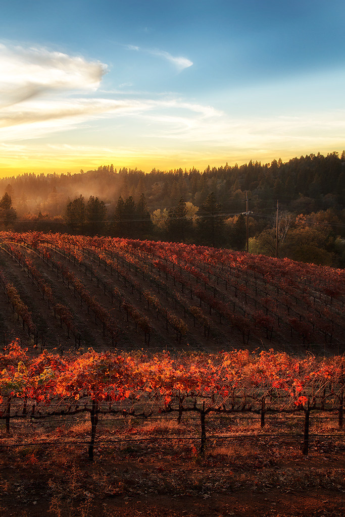
Boeger Winery at Sunset

Boeger Winery sunset view

Boeger Winery Orchard
#lavacapwinery #scenic #landscape #vineyards #grapevines #hillside
Apple Hill
Boeger Winery in the Fall
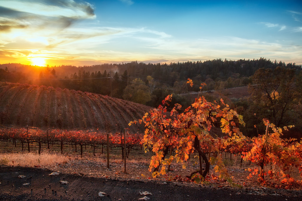
Fall vineyard sunset
Sunset Vineyard
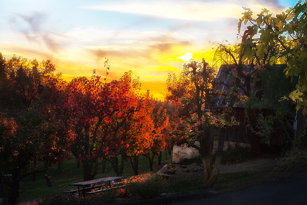
Picnic and Tonka Toys
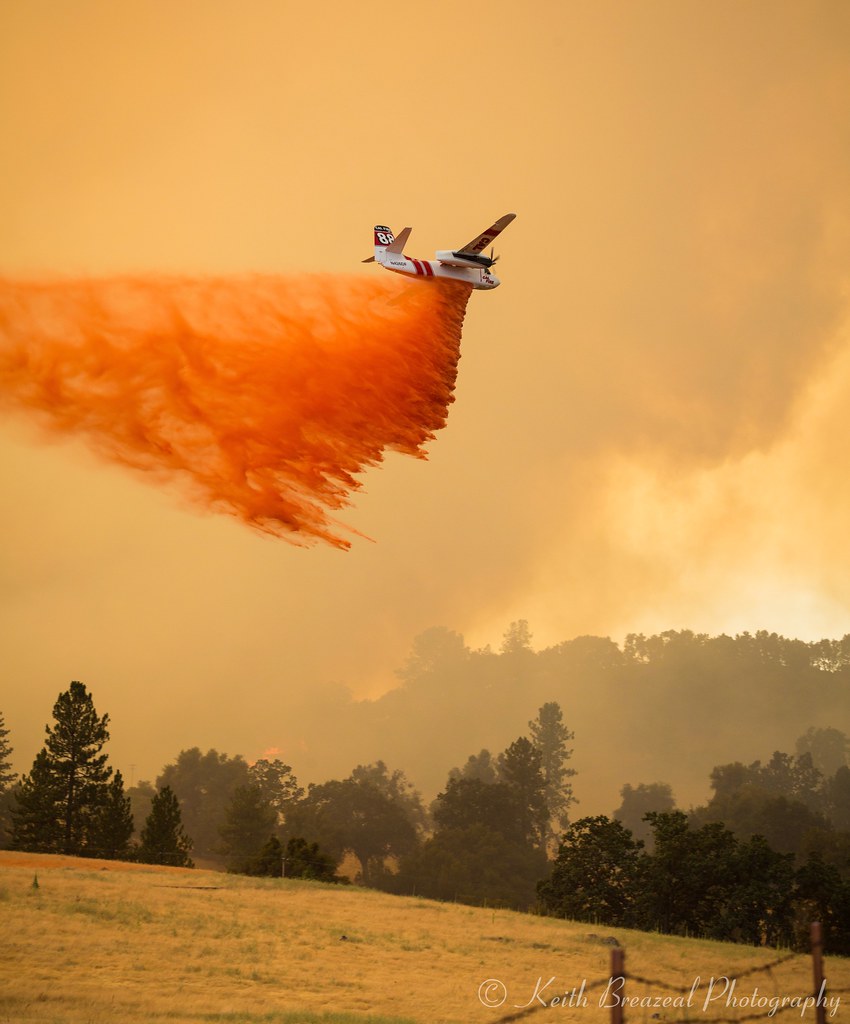
Sand Fire July 2014 © Keith Breazeal-38
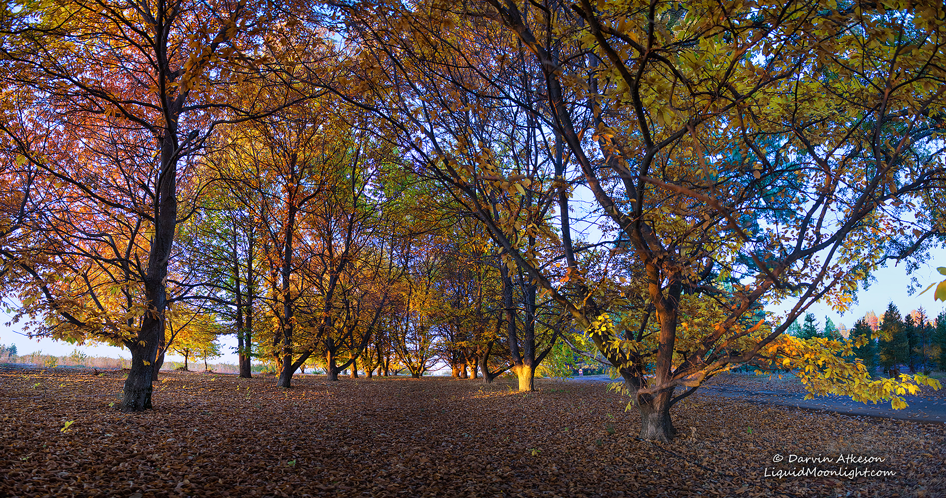
Chestnut Grove in Autumn Colors

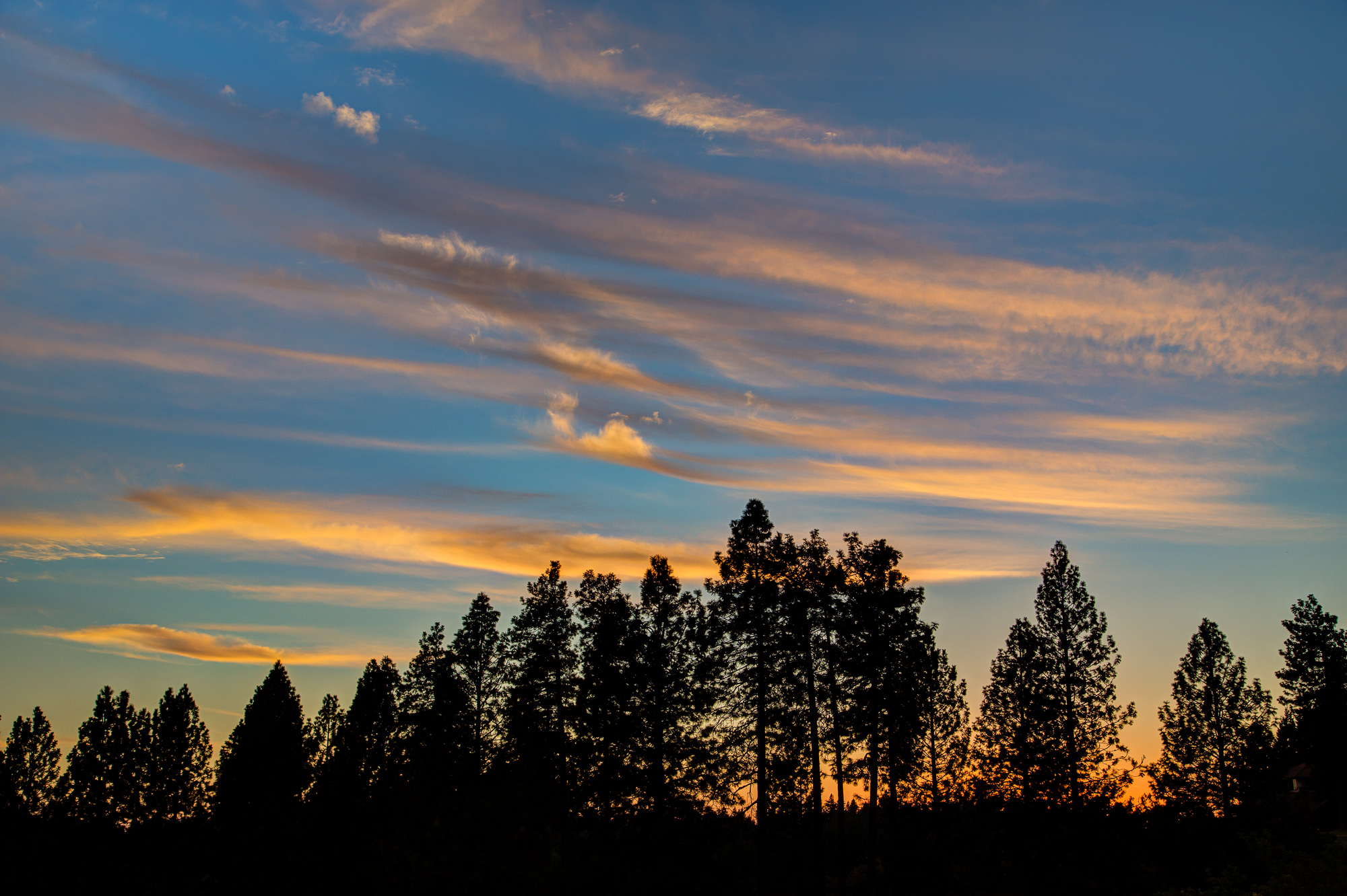
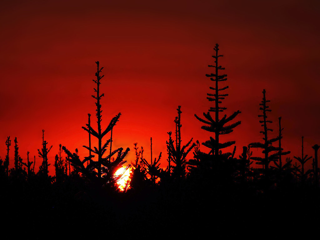
california sunset
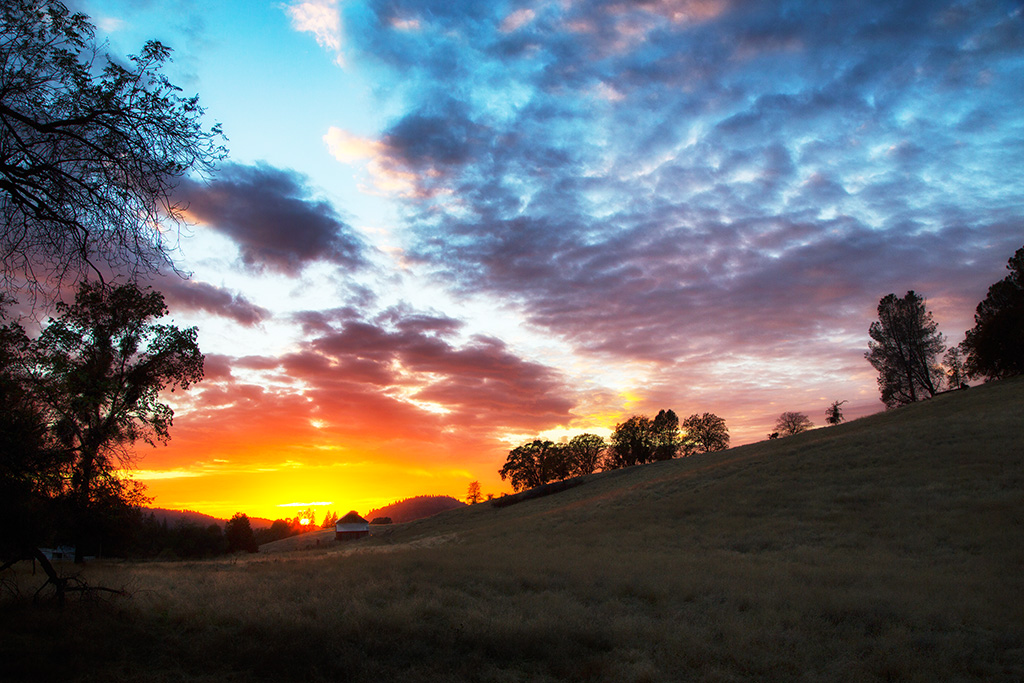
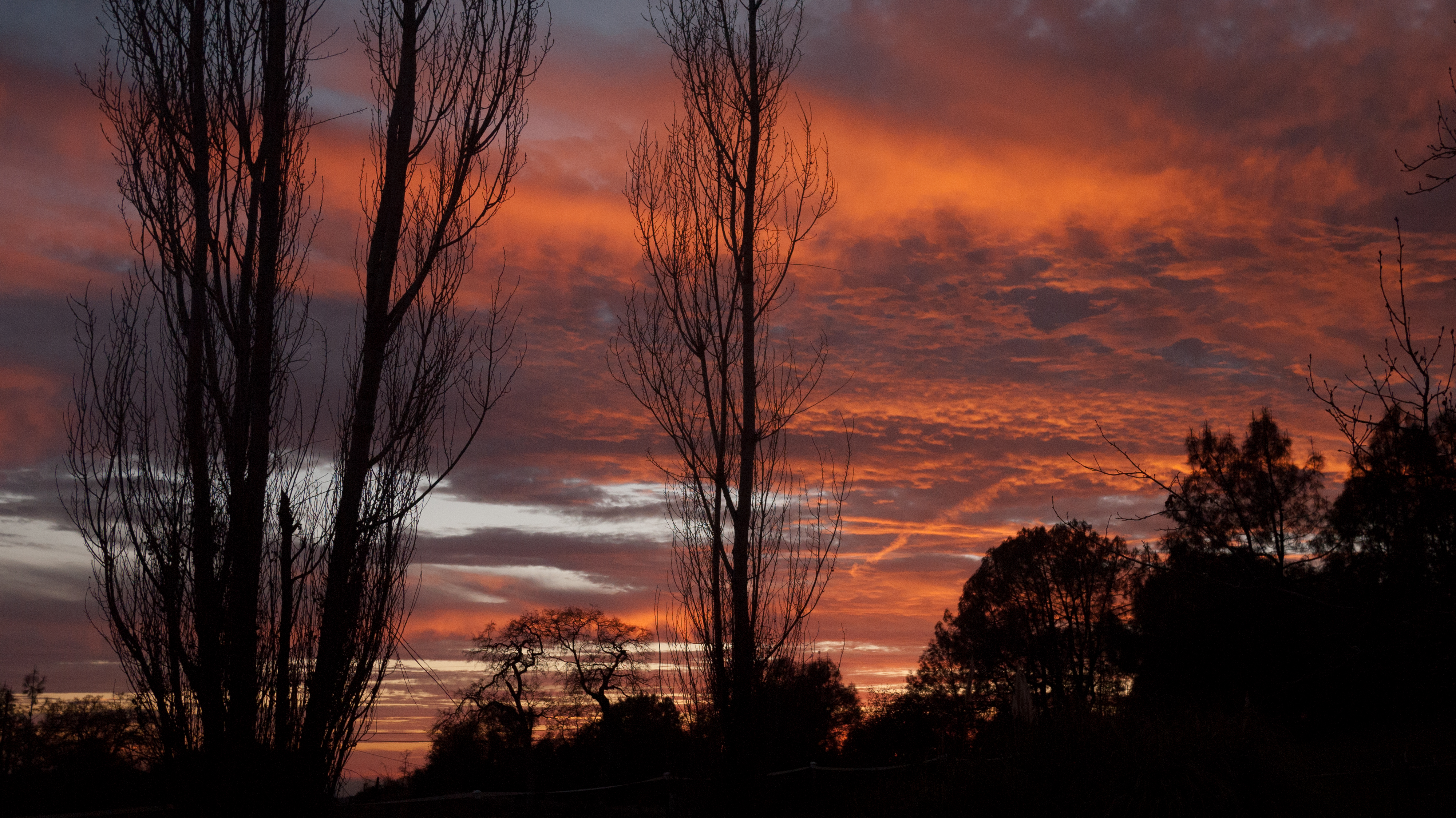
Sunset reward
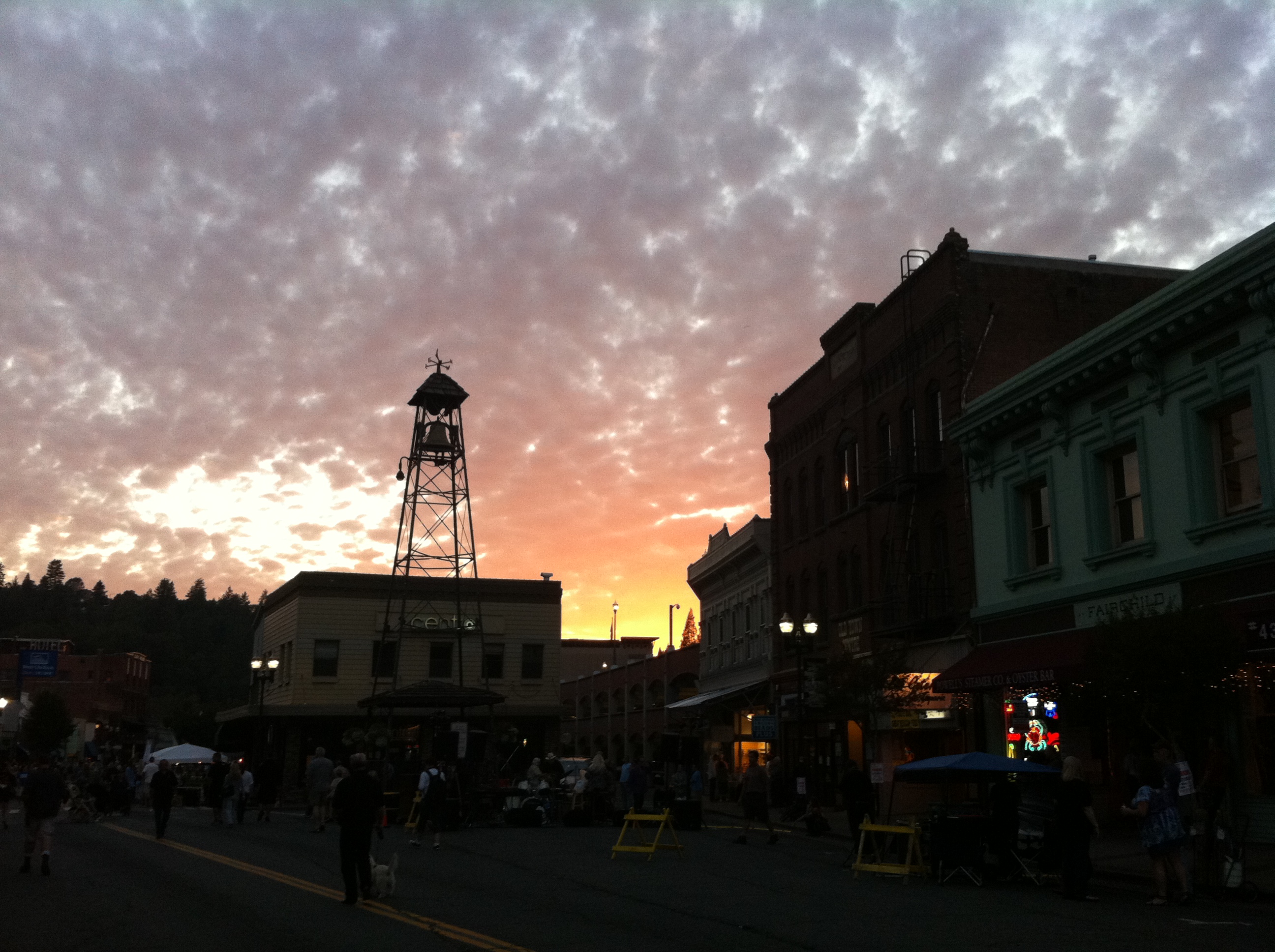
Sunset at the Bell Tower

Happy Valley
My neighbor's yard
D'Agostini Reservoir
Christmas Tree Farm Sunset
20120209-Sunset at Horseshoe Ranch
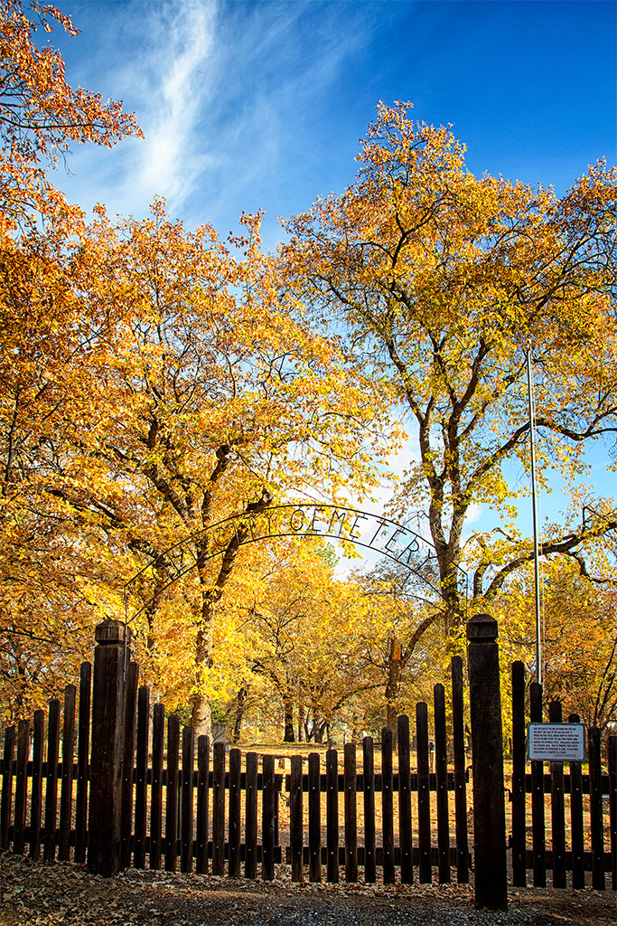
The Old City Cemetery in Placerville
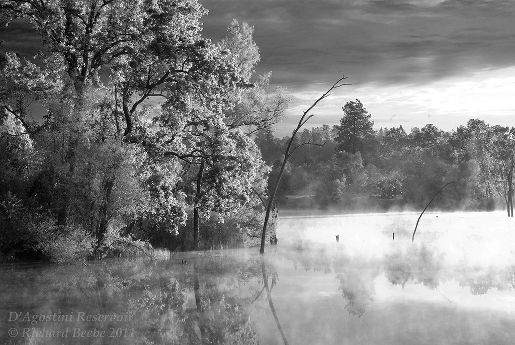
RB_05-27-11_033bw1_D'AgostiniRes-Sunrise
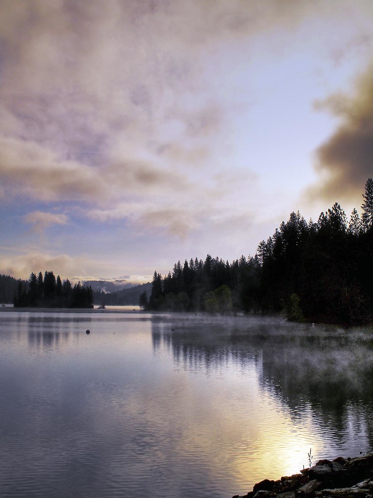
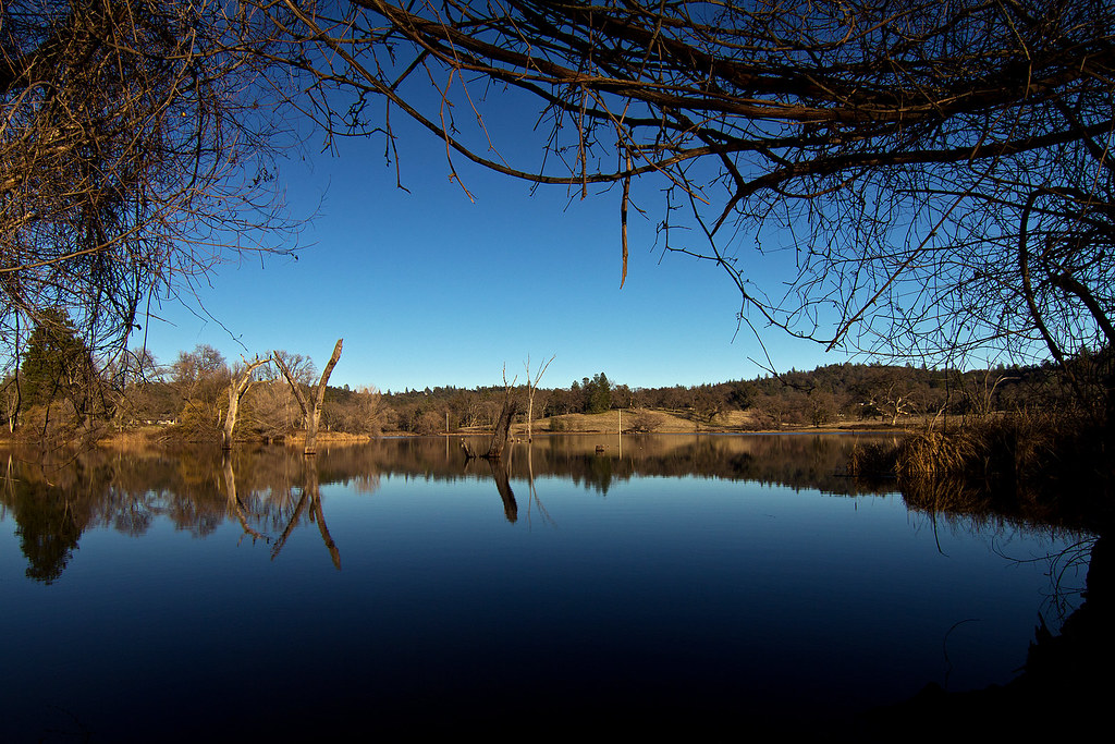
Jenkinson Lake 2008
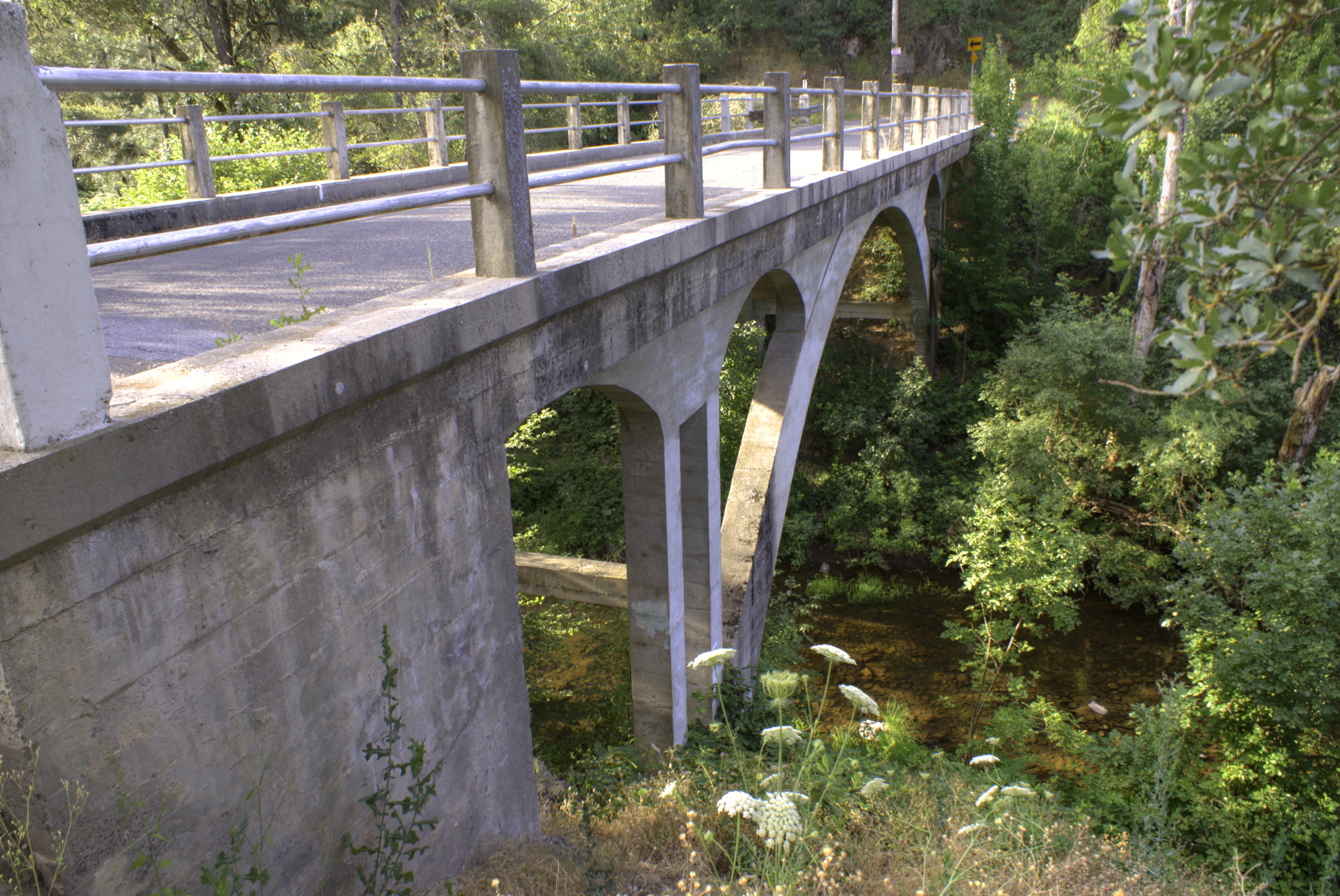
Weber Bridge
Bucks Bar Rd, Placerville, CA, USA Map
Search another place
Near Places
Somerset, CA, USA
Stodick Ln, Placerville, CA, USA
Mt Aukum Rd, Placerville, CA, USA
Palace Ln, Placerville, CA, USA
Cats Trail, Placerville, CA, USA
Grizzly Flat Rd, Somerset, CA, USA
Perry Creek Road, Perry Creek Rd, Somerset, CA, USA
Snowbird Lane, Snowbird Ln, Somerset, CA, USA
Happy Ln, Somerset, CA, USA
Outingdale, CA, USA
Stream Way, Somerset, CA, USA
Quail Way, Somerset, CA, USA
Sand Ridge Rd, Placerville, CA, USA
Tolowa Trail, Placerville, CA, USA
Metate Trail, Placerville, CA, USA
Tree Frog Lane, Tree Frog Ln, Placerville, CA, USA
Happy Ln, Somerset, CA, USA
Mehwald Lane, Mehwald Ln, Somerset, CA, USA
Mehwald Ln, Somerset, CA, USA
Corral Trail Rd, Somerset, CA, USA
Recent Searches
- Sunrise Sunset Times of Sattva Horizon, 4JC6+G9P, Vinayak Nagar, Kattigenahalli, Bengaluru, Karnataka, India
- Sunrise Sunset Times of Mount Fuji, Kitayama, Fujinomiya, Shizuoka -, Japan
- Sunrise Sunset Times of Laurel Rd, Townsend, TN, USA
- Sunrise Sunset Times of Haibin South Road, China, Guang Dong Sheng, Shen Zhen Shi, Long Gang Qu, 海滨南路GFPQ+R9Q
- Sunrise Sunset Times of Redondo Ave, Long Beach, CA, USA
- Sunrise Sunset Times of Ulitsa Kalinina, 79, Rezh, Sverdlovskaya oblast', Russia
- Sunrise Sunset Times of Leguwa, Nepal
- Sunrise Sunset Times of Shustino, Vladimir Oblast, Russia
- Sunrise Sunset Times of Lampiasi St, Sarasota, FL, USA
- Sunrise Sunset Times of Japan, 〒- Toyama, Kubomotomachi, 12−31 APAガーデンコート稲荷