Sunrise Sunset Times of Bridge River Indian Band, Joseph Rd, Lillooet, BC V0K 1V0, Canada
Location: Canada > British Columbia > Squamish-Lillooet > Lillooet > Lillooet >
Timezone:
America/Vancouver
Current Time:
2024-05-06 10:21:57
Longitude:
-121.9711983
Latitude:
50.7759514
Sunrise Today:
05:29:20 AM
Sunset Today:
08:39:26 PM
Daylength Today:
15h 10m 6s
Sunrise Tomorrow:
05:27:42 AM
Sunset Tomorrow:
08:40:58 PM
Daylength Tomorrow:
15h 13m 16s
Year Show All Dates
| Date | Sunrise | Sunset | Daylength |
|---|---|---|---|
| 01/01/2024 | 08:09:44 AM | 04:13:47 PM | 8h 4m 3s |
| 01/02/2024 | 08:09:35 AM | 04:14:52 PM | 8h 5m 17s |
| 01/03/2024 | 08:09:22 AM | 04:15:59 PM | 8h 6m 37s |
| 01/04/2024 | 08:09:07 AM | 04:17:09 PM | 8h 8m 2s |
| 01/05/2024 | 08:08:48 AM | 04:18:21 PM | 8h 9m 33s |
| 01/06/2024 | 08:08:26 AM | 04:19:35 PM | 8h 11m 9s |
| 01/07/2024 | 08:08:01 AM | 04:20:51 PM | 8h 12m 50s |
| 01/08/2024 | 08:07:33 AM | 04:22:10 PM | 8h 14m 37s |
| 01/09/2024 | 08:07:02 AM | 04:23:30 PM | 8h 16m 28s |
| 01/10/2024 | 08:06:27 AM | 04:24:53 PM | 8h 18m 26s |
| 01/11/2024 | 08:05:50 AM | 04:26:17 PM | 8h 20m 27s |
| 01/12/2024 | 08:05:09 AM | 04:27:43 PM | 8h 22m 34s |
| 01/13/2024 | 08:04:26 AM | 04:29:11 PM | 8h 24m 45s |
| 01/14/2024 | 08:03:40 AM | 04:30:40 PM | 8h 27m 0s |
| 01/15/2024 | 08:02:51 AM | 04:32:11 PM | 8h 29m 20s |
| 01/16/2024 | 08:01:59 AM | 04:33:43 PM | 8h 31m 44s |
| 01/17/2024 | 08:01:04 AM | 04:35:17 PM | 8h 34m 13s |
| 01/18/2024 | 08:00:07 AM | 04:36:52 PM | 8h 36m 45s |
| 01/19/2024 | 07:59:07 AM | 04:38:28 PM | 8h 39m 21s |
| 01/20/2024 | 07:58:04 AM | 04:40:06 PM | 8h 42m 2s |
| 01/21/2024 | 07:56:59 AM | 04:41:44 PM | 8h 44m 45s |
| 01/22/2024 | 07:55:51 AM | 04:43:23 PM | 8h 47m 32s |
| 01/23/2024 | 07:54:41 AM | 04:45:04 PM | 8h 50m 23s |
| 01/24/2024 | 07:53:28 AM | 04:46:45 PM | 8h 53m 17s |
| 01/25/2024 | 07:52:13 AM | 04:48:26 PM | 8h 56m 13s |
| 01/26/2024 | 07:50:56 AM | 04:50:09 PM | 8h 59m 13s |
| 01/27/2024 | 07:49:36 AM | 04:51:52 PM | 9h 2m 16s |
| 01/28/2024 | 07:48:14 AM | 04:53:36 PM | 9h 5m 22s |
| 01/29/2024 | 07:46:51 AM | 04:55:20 PM | 9h 8m 29s |
| 01/30/2024 | 07:45:25 AM | 04:57:05 PM | 9h 11m 40s |
| 01/31/2024 | 07:43:57 AM | 04:58:50 PM | 9h 14m 53s |
| 02/01/2024 | 07:42:26 AM | 05:00:36 PM | 9h 18m 10s |
| 02/02/2024 | 07:40:55 AM | 05:02:22 PM | 9h 21m 27s |
| 02/03/2024 | 07:39:21 AM | 05:04:08 PM | 9h 24m 47s |
| 02/04/2024 | 07:37:45 AM | 05:05:54 PM | 9h 28m 9s |
| 02/05/2024 | 07:36:08 AM | 05:07:40 PM | 9h 31m 32s |
| 02/06/2024 | 07:34:28 AM | 05:09:27 PM | 9h 34m 59s |
| 02/07/2024 | 07:32:47 AM | 05:11:14 PM | 9h 38m 27s |
| 02/08/2024 | 07:31:05 AM | 05:13:00 PM | 9h 41m 55s |
| 02/09/2024 | 07:29:21 AM | 05:14:47 PM | 9h 45m 26s |
| 02/10/2024 | 07:27:35 AM | 05:16:34 PM | 9h 48m 59s |
| 02/11/2024 | 07:25:48 AM | 05:18:20 PM | 9h 52m 32s |
| 02/12/2024 | 07:24:00 AM | 05:20:07 PM | 9h 56m 7s |
| 02/13/2024 | 07:22:10 AM | 05:21:53 PM | 9h 59m 43s |
| 02/14/2024 | 07:20:18 AM | 05:23:40 PM | 10h 3m 22s |
| 02/15/2024 | 07:18:26 AM | 05:25:26 PM | 10h 7m 0s |
| 02/16/2024 | 07:16:32 AM | 05:27:12 PM | 10h 10m 40s |
| 02/17/2024 | 07:14:37 AM | 05:28:58 PM | 10h 14m 21s |
| 02/18/2024 | 07:12:41 AM | 05:30:44 PM | 10h 18m 3s |
| 02/19/2024 | 07:10:44 AM | 05:32:29 PM | 10h 21m 45s |
| 02/20/2024 | 07:08:45 AM | 05:34:14 PM | 10h 25m 29s |
| 02/21/2024 | 07:06:46 AM | 05:35:59 PM | 10h 29m 13s |
| 02/22/2024 | 07:04:45 AM | 05:37:44 PM | 10h 32m 59s |
| 02/23/2024 | 07:02:44 AM | 05:39:28 PM | 10h 36m 44s |
| 02/24/2024 | 07:00:41 AM | 05:41:13 PM | 10h 40m 32s |
| 02/25/2024 | 06:58:38 AM | 05:42:57 PM | 10h 44m 19s |
| 02/26/2024 | 06:56:34 AM | 05:44:40 PM | 10h 48m 6s |
| 02/27/2024 | 06:54:29 AM | 05:46:24 PM | 10h 51m 55s |
| 02/28/2024 | 06:52:23 AM | 05:48:07 PM | 10h 55m 44s |
| 02/29/2024 | 06:50:17 AM | 05:49:50 PM | 10h 59m 33s |
| 03/01/2024 | 06:48:10 AM | 05:51:32 PM | 11h 3m 22s |
| 03/02/2024 | 06:46:02 AM | 05:53:14 PM | 11h 7m 12s |
| 03/03/2024 | 06:43:54 AM | 05:54:56 PM | 11h 11m 2s |
| 03/04/2024 | 06:41:45 AM | 05:56:38 PM | 11h 14m 53s |
| 03/05/2024 | 06:39:35 AM | 05:58:20 PM | 11h 18m 45s |
| 03/06/2024 | 06:37:25 AM | 06:00:01 PM | 11h 22m 36s |
| 03/07/2024 | 06:35:15 AM | 06:01:42 PM | 11h 26m 27s |
| 03/08/2024 | 06:33:04 AM | 06:03:22 PM | 11h 30m 18s |
| 03/09/2024 | 06:30:52 AM | 06:05:03 PM | 11h 34m 11s |
| 03/10/2024 | 07:28:46 AM | 07:06:39 PM | 11h 37m 53s |
| 03/11/2024 | 07:26:34 AM | 07:08:19 PM | 11h 41m 45s |
| 03/12/2024 | 07:24:21 AM | 07:09:58 PM | 11h 45m 37s |
| 03/13/2024 | 07:22:08 AM | 07:11:38 PM | 11h 49m 30s |
| 03/14/2024 | 07:19:55 AM | 07:13:17 PM | 11h 53m 22s |
| 03/15/2024 | 07:17:42 AM | 07:14:56 PM | 11h 57m 14s |
| 03/16/2024 | 07:15:28 AM | 07:16:35 PM | 12h 1m 7s |
| 03/17/2024 | 07:13:15 AM | 07:18:14 PM | 12h 4m 59s |
| 03/18/2024 | 07:11:01 AM | 07:19:53 PM | 12h 8m 52s |
| 03/19/2024 | 07:08:47 AM | 07:21:31 PM | 12h 12m 44s |
| 03/20/2024 | 07:06:33 AM | 07:23:10 PM | 12h 16m 37s |
| 03/21/2024 | 07:04:19 AM | 07:24:48 PM | 12h 20m 29s |
| 03/22/2024 | 07:02:05 AM | 07:26:26 PM | 12h 24m 21s |
| 03/23/2024 | 06:59:51 AM | 07:28:04 PM | 12h 28m 13s |
| 03/24/2024 | 06:57:37 AM | 07:29:42 PM | 12h 32m 5s |
| 03/25/2024 | 06:55:23 AM | 07:31:19 PM | 12h 35m 56s |
| 03/26/2024 | 06:53:09 AM | 07:32:57 PM | 12h 39m 48s |
| 03/27/2024 | 06:50:55 AM | 07:34:35 PM | 12h 43m 40s |
| 03/28/2024 | 06:48:41 AM | 07:36:12 PM | 12h 47m 31s |
| 03/29/2024 | 06:46:28 AM | 07:37:49 PM | 12h 51m 21s |
| 03/30/2024 | 06:44:15 AM | 07:39:27 PM | 12h 55m 12s |
| 03/31/2024 | 06:42:02 AM | 07:41:04 PM | 12h 59m 2s |
| 04/01/2024 | 06:39:49 AM | 07:42:42 PM | 13h 2m 53s |
| 04/02/2024 | 06:37:37 AM | 07:44:19 PM | 13h 6m 42s |
| 04/03/2024 | 06:35:25 AM | 07:45:56 PM | 13h 10m 31s |
| 04/04/2024 | 06:33:14 AM | 07:47:33 PM | 13h 14m 19s |
| 04/05/2024 | 06:31:03 AM | 07:49:11 PM | 13h 18m 8s |
| 04/06/2024 | 06:28:52 AM | 07:50:48 PM | 13h 21m 56s |
| 04/07/2024 | 06:26:42 AM | 07:52:25 PM | 13h 25m 43s |
| 04/08/2024 | 06:24:32 AM | 07:54:02 PM | 13h 29m 30s |
| 04/09/2024 | 06:22:23 AM | 07:55:39 PM | 13h 33m 16s |
| 04/10/2024 | 06:20:14 AM | 07:57:16 PM | 13h 37m 2s |
| 04/11/2024 | 06:18:06 AM | 07:58:54 PM | 13h 40m 48s |
| 04/12/2024 | 06:15:59 AM | 08:00:31 PM | 13h 44m 32s |
| 04/13/2024 | 06:13:53 AM | 08:02:08 PM | 13h 48m 15s |
| 04/14/2024 | 06:11:47 AM | 08:03:45 PM | 13h 51m 58s |
| 04/15/2024 | 06:09:42 AM | 08:05:22 PM | 13h 55m 40s |
| 04/16/2024 | 06:07:37 AM | 08:06:59 PM | 13h 59m 22s |
| 04/17/2024 | 06:05:34 AM | 08:08:36 PM | 14h 3m 2s |
| 04/18/2024 | 06:03:31 AM | 08:10:13 PM | 14h 6m 42s |
| 04/19/2024 | 06:01:29 AM | 08:11:50 PM | 14h 10m 21s |
| 04/20/2024 | 05:59:29 AM | 08:13:27 PM | 14h 13m 58s |
| 04/21/2024 | 05:57:29 AM | 08:15:04 PM | 14h 17m 35s |
| 04/22/2024 | 05:55:30 AM | 08:16:40 PM | 14h 21m 10s |
| 04/23/2024 | 05:53:32 AM | 08:18:17 PM | 14h 24m 45s |
| 04/24/2024 | 05:51:36 AM | 08:19:53 PM | 14h 28m 17s |
| 04/25/2024 | 05:49:40 AM | 08:21:30 PM | 14h 31m 50s |
| 04/26/2024 | 05:47:46 AM | 08:23:06 PM | 14h 35m 20s |
| 04/27/2024 | 05:45:53 AM | 08:24:42 PM | 14h 38m 49s |
| 04/28/2024 | 05:44:01 AM | 08:26:17 PM | 14h 42m 16s |
| 04/29/2024 | 05:42:10 AM | 08:27:53 PM | 14h 45m 43s |
| 04/30/2024 | 05:40:21 AM | 08:29:28 PM | 14h 49m 7s |
| 05/01/2024 | 05:38:33 AM | 08:31:03 PM | 14h 52m 30s |
| 05/02/2024 | 05:36:47 AM | 08:32:37 PM | 14h 55m 50s |
| 05/03/2024 | 05:35:02 AM | 08:34:11 PM | 14h 59m 9s |
| 05/04/2024 | 05:33:19 AM | 08:35:45 PM | 15h 2m 26s |
| 05/05/2024 | 05:31:37 AM | 08:37:18 PM | 15h 5m 41s |
| 05/06/2024 | 05:29:57 AM | 08:38:51 PM | 15h 8m 54s |
| 05/07/2024 | 05:28:18 AM | 08:40:23 PM | 15h 12m 5s |
| 05/08/2024 | 05:26:42 AM | 08:41:55 PM | 15h 15m 13s |
| 05/09/2024 | 05:25:07 AM | 08:43:26 PM | 15h 18m 19s |
| 05/10/2024 | 05:23:34 AM | 08:44:56 PM | 15h 21m 22s |
| 05/11/2024 | 05:22:02 AM | 08:46:26 PM | 15h 24m 24s |
| 05/12/2024 | 05:20:33 AM | 08:47:55 PM | 15h 27m 22s |
| 05/13/2024 | 05:19:05 AM | 08:49:23 PM | 15h 30m 18s |
| 05/14/2024 | 05:17:40 AM | 08:50:50 PM | 15h 33m 10s |
| 05/15/2024 | 05:16:16 AM | 08:52:17 PM | 15h 36m 1s |
| 05/16/2024 | 05:14:55 AM | 08:53:42 PM | 15h 38m 47s |
| 05/17/2024 | 05:13:36 AM | 08:55:06 PM | 15h 41m 30s |
| 05/18/2024 | 05:12:19 AM | 08:56:30 PM | 15h 44m 11s |
| 05/19/2024 | 05:11:04 AM | 08:57:52 PM | 15h 46m 48s |
| 05/20/2024 | 05:09:51 AM | 08:59:12 PM | 15h 49m 21s |
| 05/21/2024 | 05:08:41 AM | 09:00:32 PM | 15h 51m 51s |
| 05/22/2024 | 05:07:34 AM | 09:01:50 PM | 15h 54m 16s |
| 05/23/2024 | 05:06:28 AM | 09:03:07 PM | 15h 56m 39s |
| 05/24/2024 | 05:05:25 AM | 09:04:22 PM | 15h 58m 57s |
| 05/25/2024 | 05:04:25 AM | 09:05:36 PM | 16h 1m 11s |
| 05/26/2024 | 05:03:27 AM | 09:06:48 PM | 16h 3m 21s |
| 05/27/2024 | 05:02:32 AM | 09:07:59 PM | 16h 5m 27s |
| 05/28/2024 | 05:01:39 AM | 09:09:08 PM | 16h 7m 29s |
| 05/29/2024 | 05:00:49 AM | 09:10:15 PM | 16h 9m 26s |
| 05/30/2024 | 05:00:02 AM | 09:11:20 PM | 16h 11m 18s |
| 05/31/2024 | 04:59:17 AM | 09:12:23 PM | 16h 13m 6s |
| 06/01/2024 | 04:58:36 AM | 09:13:24 PM | 16h 14m 48s |
| 06/02/2024 | 04:57:57 AM | 09:14:23 PM | 16h 16m 26s |
| 06/03/2024 | 04:57:21 AM | 09:15:20 PM | 16h 17m 59s |
| 06/04/2024 | 04:56:47 AM | 09:16:15 PM | 16h 19m 28s |
| 06/05/2024 | 04:56:17 AM | 09:17:07 PM | 16h 20m 50s |
| 06/06/2024 | 04:55:50 AM | 09:17:57 PM | 16h 22m 7s |
| 06/07/2024 | 04:55:25 AM | 09:18:45 PM | 16h 23m 20s |
| 06/08/2024 | 04:55:04 AM | 09:19:30 PM | 16h 24m 26s |
| 06/09/2024 | 04:54:45 AM | 09:20:13 PM | 16h 25m 28s |
| 06/10/2024 | 04:54:29 AM | 09:20:53 PM | 16h 26m 24s |
| 06/11/2024 | 04:54:17 AM | 09:21:31 PM | 16h 27m 14s |
| 06/12/2024 | 04:54:07 AM | 09:22:06 PM | 16h 27m 59s |
| 06/13/2024 | 04:54:00 AM | 09:22:38 PM | 16h 28m 38s |
| 06/14/2024 | 04:53:56 AM | 09:23:07 PM | 16h 29m 11s |
| 06/15/2024 | 04:53:56 AM | 09:23:34 PM | 16h 29m 38s |
| 06/16/2024 | 04:53:58 AM | 09:23:58 PM | 16h 30m 0s |
| 06/17/2024 | 04:54:03 AM | 09:24:19 PM | 16h 30m 16s |
| 06/18/2024 | 04:54:11 AM | 09:24:37 PM | 16h 30m 26s |
| 06/19/2024 | 04:54:22 AM | 09:24:52 PM | 16h 30m 30s |
| 06/20/2024 | 04:54:36 AM | 09:25:04 PM | 16h 30m 28s |
| 06/21/2024 | 04:54:52 AM | 09:25:14 PM | 16h 30m 22s |
| 06/22/2024 | 04:55:12 AM | 09:25:20 PM | 16h 30m 8s |
| 06/23/2024 | 04:55:34 AM | 09:25:23 PM | 16h 29m 49s |
| 06/24/2024 | 04:55:59 AM | 09:25:24 PM | 16h 29m 25s |
| 06/25/2024 | 04:56:27 AM | 09:25:21 PM | 16h 28m 54s |
| 06/26/2024 | 04:56:58 AM | 09:25:15 PM | 16h 28m 17s |
| 06/27/2024 | 04:57:31 AM | 09:25:06 PM | 16h 27m 35s |
| 06/28/2024 | 04:58:07 AM | 09:24:55 PM | 16h 26m 48s |
| 06/29/2024 | 04:58:45 AM | 09:24:40 PM | 16h 25m 55s |
| 06/30/2024 | 04:59:26 AM | 09:24:22 PM | 16h 24m 56s |
| 07/01/2024 | 05:00:09 AM | 09:24:01 PM | 16h 23m 52s |
| 07/02/2024 | 05:00:55 AM | 09:23:37 PM | 16h 22m 42s |
| 07/03/2024 | 05:01:43 AM | 09:23:11 PM | 16h 21m 28s |
| 07/04/2024 | 05:02:33 AM | 09:22:41 PM | 16h 20m 8s |
| 07/05/2024 | 05:03:26 AM | 09:22:08 PM | 16h 18m 42s |
| 07/06/2024 | 05:04:20 AM | 09:21:33 PM | 16h 17m 13s |
| 07/07/2024 | 05:05:17 AM | 09:20:54 PM | 16h 15m 37s |
| 07/08/2024 | 05:06:16 AM | 09:20:13 PM | 16h 13m 57s |
| 07/09/2024 | 05:07:16 AM | 09:19:29 PM | 16h 12m 13s |
| 07/10/2024 | 05:08:19 AM | 09:18:42 PM | 16h 10m 23s |
| 07/11/2024 | 05:09:23 AM | 09:17:53 PM | 16h 8m 30s |
| 07/12/2024 | 05:10:29 AM | 09:17:00 PM | 16h 6m 31s |
| 07/13/2024 | 05:11:37 AM | 09:16:05 PM | 16h 4m 28s |
| 07/14/2024 | 05:12:46 AM | 09:15:08 PM | 16h 2m 22s |
| 07/15/2024 | 05:13:57 AM | 09:14:08 PM | 16h 0m 11s |
| 07/16/2024 | 05:15:10 AM | 09:13:05 PM | 15h 57m 55s |
| 07/17/2024 | 05:16:24 AM | 09:12:00 PM | 15h 55m 36s |
| 07/18/2024 | 05:17:39 AM | 09:10:52 PM | 15h 53m 13s |
| 07/19/2024 | 05:18:55 AM | 09:09:42 PM | 15h 50m 47s |
| 07/20/2024 | 05:20:13 AM | 09:08:30 PM | 15h 48m 17s |
| 07/21/2024 | 05:21:32 AM | 09:07:15 PM | 15h 45m 43s |
| 07/22/2024 | 05:22:52 AM | 09:05:58 PM | 15h 43m 6s |
| 07/23/2024 | 05:24:13 AM | 09:04:39 PM | 15h 40m 26s |
| 07/24/2024 | 05:25:35 AM | 09:03:17 PM | 15h 37m 42s |
| 07/25/2024 | 05:26:58 AM | 09:01:54 PM | 15h 34m 56s |
| 07/26/2024 | 05:28:22 AM | 09:00:28 PM | 15h 32m 6s |
| 07/27/2024 | 05:29:47 AM | 08:59:01 PM | 15h 29m 14s |
| 07/28/2024 | 05:31:12 AM | 08:57:31 PM | 15h 26m 19s |
| 07/29/2024 | 05:32:38 AM | 08:56:00 PM | 15h 23m 22s |
| 07/30/2024 | 05:34:05 AM | 08:54:26 PM | 15h 20m 21s |
| 07/31/2024 | 05:35:32 AM | 08:52:51 PM | 15h 17m 19s |
| 08/01/2024 | 05:37:00 AM | 08:51:14 PM | 15h 14m 14s |
| 08/02/2024 | 05:38:29 AM | 08:49:35 PM | 15h 11m 6s |
| 08/03/2024 | 05:39:58 AM | 08:47:55 PM | 15h 7m 57s |
| 08/04/2024 | 05:41:27 AM | 08:46:13 PM | 15h 4m 46s |
| 08/05/2024 | 05:42:57 AM | 08:44:29 PM | 15h 1m 32s |
| 08/06/2024 | 05:44:27 AM | 08:42:44 PM | 14h 58m 17s |
| 08/07/2024 | 05:45:58 AM | 08:40:57 PM | 14h 54m 59s |
| 08/08/2024 | 05:47:29 AM | 08:39:09 PM | 14h 51m 40s |
| 08/09/2024 | 05:49:00 AM | 08:37:19 PM | 14h 48m 19s |
| 08/10/2024 | 05:50:31 AM | 08:35:28 PM | 14h 44m 57s |
| 08/11/2024 | 05:52:02 AM | 08:33:36 PM | 14h 41m 34s |
| 08/12/2024 | 05:53:34 AM | 08:31:43 PM | 14h 38m 9s |
| 08/13/2024 | 05:55:06 AM | 08:29:48 PM | 14h 34m 42s |
| 08/14/2024 | 05:56:38 AM | 08:27:52 PM | 14h 31m 14s |
| 08/15/2024 | 05:58:10 AM | 08:25:55 PM | 14h 27m 45s |
| 08/16/2024 | 05:59:42 AM | 08:23:56 PM | 14h 24m 14s |
| 08/17/2024 | 06:01:15 AM | 08:21:57 PM | 14h 20m 42s |
| 08/18/2024 | 06:02:47 AM | 08:19:56 PM | 14h 17m 9s |
| 08/19/2024 | 06:04:20 AM | 08:17:55 PM | 14h 13m 35s |
| 08/20/2024 | 06:05:52 AM | 08:15:53 PM | 14h 10m 1s |
| 08/21/2024 | 06:07:25 AM | 08:13:49 PM | 14h 6m 24s |
| 08/22/2024 | 06:08:57 AM | 08:11:45 PM | 14h 2m 48s |
| 08/23/2024 | 06:10:30 AM | 08:09:40 PM | 13h 59m 10s |
| 08/24/2024 | 06:12:02 AM | 08:07:34 PM | 13h 55m 32s |
| 08/25/2024 | 06:13:35 AM | 08:05:27 PM | 13h 51m 52s |
| 08/26/2024 | 06:15:07 AM | 08:03:20 PM | 13h 48m 13s |
| 08/27/2024 | 06:16:40 AM | 08:01:12 PM | 13h 44m 32s |
| 08/28/2024 | 06:18:12 AM | 07:59:03 PM | 13h 40m 51s |
| 08/29/2024 | 06:19:44 AM | 07:56:53 PM | 13h 37m 9s |
| 08/30/2024 | 06:21:17 AM | 07:54:43 PM | 13h 33m 26s |
| 08/31/2024 | 06:22:49 AM | 07:52:33 PM | 13h 29m 44s |
| 09/01/2024 | 06:24:21 AM | 07:50:22 PM | 13h 26m 1s |
| 09/02/2024 | 06:25:54 AM | 07:48:10 PM | 13h 22m 16s |
| 09/03/2024 | 06:27:26 AM | 07:45:58 PM | 13h 18m 32s |
| 09/04/2024 | 06:28:58 AM | 07:43:45 PM | 13h 14m 47s |
| 09/05/2024 | 06:30:31 AM | 07:41:32 PM | 13h 11m 1s |
| 09/06/2024 | 06:32:03 AM | 07:39:19 PM | 13h 7m 16s |
| 09/07/2024 | 06:33:35 AM | 07:37:05 PM | 13h 3m 30s |
| 09/08/2024 | 06:35:08 AM | 07:34:51 PM | 12h 59m 43s |
| 09/09/2024 | 06:36:40 AM | 07:32:36 PM | 12h 55m 56s |
| 09/10/2024 | 06:38:12 AM | 07:30:22 PM | 12h 52m 10s |
| 09/11/2024 | 06:39:45 AM | 07:28:07 PM | 12h 48m 22s |
| 09/12/2024 | 06:41:17 AM | 07:25:52 PM | 12h 44m 35s |
| 09/13/2024 | 06:42:50 AM | 07:23:36 PM | 12h 40m 46s |
| 09/14/2024 | 06:44:22 AM | 07:21:21 PM | 12h 36m 59s |
| 09/15/2024 | 06:45:55 AM | 07:19:06 PM | 12h 33m 11s |
| 09/16/2024 | 06:47:27 AM | 07:16:50 PM | 12h 29m 23s |
| 09/17/2024 | 06:49:00 AM | 07:14:34 PM | 12h 25m 34s |
| 09/18/2024 | 06:50:33 AM | 07:12:19 PM | 12h 21m 46s |
| 09/19/2024 | 06:52:06 AM | 07:10:03 PM | 12h 17m 57s |
| 09/20/2024 | 06:53:39 AM | 07:07:47 PM | 12h 14m 8s |
| 09/21/2024 | 06:55:13 AM | 07:05:32 PM | 12h 10m 19s |
| 09/22/2024 | 06:56:46 AM | 07:03:16 PM | 12h 6m 30s |
| 09/23/2024 | 06:58:20 AM | 07:01:01 PM | 12h 2m 41s |
| 09/24/2024 | 06:59:53 AM | 06:58:46 PM | 11h 58m 53s |
| 09/25/2024 | 07:01:27 AM | 06:56:31 PM | 11h 55m 4s |
| 09/26/2024 | 07:03:01 AM | 06:54:16 PM | 11h 51m 15s |
| 09/27/2024 | 07:04:36 AM | 06:52:02 PM | 11h 47m 26s |
| 09/28/2024 | 07:06:10 AM | 06:49:47 PM | 11h 43m 37s |
| 09/29/2024 | 07:07:45 AM | 06:47:33 PM | 11h 39m 48s |
| 09/30/2024 | 07:09:20 AM | 06:45:20 PM | 11h 36m 0s |
| 10/01/2024 | 07:10:55 AM | 06:43:07 PM | 11h 32m 12s |
| 10/02/2024 | 07:12:31 AM | 06:40:54 PM | 11h 28m 23s |
| 10/03/2024 | 07:14:06 AM | 06:38:41 PM | 11h 24m 35s |
| 10/04/2024 | 07:15:42 AM | 06:36:29 PM | 11h 20m 47s |
| 10/05/2024 | 07:17:19 AM | 06:34:18 PM | 11h 16m 59s |
| 10/06/2024 | 07:18:55 AM | 06:32:07 PM | 11h 13m 12s |
| 10/07/2024 | 07:20:32 AM | 06:29:57 PM | 11h 9m 25s |
| 10/08/2024 | 07:22:09 AM | 06:27:47 PM | 11h 5m 38s |
| 10/09/2024 | 07:23:47 AM | 06:25:38 PM | 11h 1m 51s |
| 10/10/2024 | 07:25:24 AM | 06:23:30 PM | 10h 58m 6s |
| 10/11/2024 | 07:27:02 AM | 06:21:22 PM | 10h 54m 20s |
| 10/12/2024 | 07:28:41 AM | 06:19:15 PM | 10h 50m 34s |
| 10/13/2024 | 07:30:19 AM | 06:17:09 PM | 10h 46m 50s |
| 10/14/2024 | 07:31:58 AM | 06:15:03 PM | 10h 43m 5s |
| 10/15/2024 | 07:33:38 AM | 06:12:59 PM | 10h 39m 21s |
| 10/16/2024 | 07:35:17 AM | 06:10:55 PM | 10h 35m 38s |
| 10/17/2024 | 07:36:57 AM | 06:08:52 PM | 10h 31m 55s |
| 10/18/2024 | 07:38:37 AM | 06:06:50 PM | 10h 28m 13s |
| 10/19/2024 | 07:40:17 AM | 06:04:50 PM | 10h 24m 33s |
| 10/20/2024 | 07:41:58 AM | 06:02:50 PM | 10h 20m 52s |
| 10/21/2024 | 07:43:39 AM | 06:00:51 PM | 10h 17m 12s |
| 10/22/2024 | 07:45:20 AM | 05:58:54 PM | 10h 13m 34s |
| 10/23/2024 | 07:47:02 AM | 05:56:57 PM | 10h 9m 55s |
| 10/24/2024 | 07:48:43 AM | 05:55:02 PM | 10h 6m 19s |
| 10/25/2024 | 07:50:25 AM | 05:53:08 PM | 10h 2m 43s |
| 10/26/2024 | 07:52:07 AM | 05:51:16 PM | 9h 59m 9s |
| 10/27/2024 | 07:53:50 AM | 05:49:24 PM | 9h 55m 34s |
| 10/28/2024 | 07:55:32 AM | 05:47:34 PM | 9h 52m 2s |
| 10/29/2024 | 07:57:15 AM | 05:45:46 PM | 9h 48m 31s |
| 10/30/2024 | 07:58:57 AM | 05:43:59 PM | 9h 45m 2s |
| 10/31/2024 | 08:00:40 AM | 05:42:14 PM | 9h 41m 34s |
| 11/01/2024 | 08:02:23 AM | 05:40:30 PM | 9h 38m 7s |
| 11/02/2024 | 08:04:05 AM | 05:38:47 PM | 9h 34m 42s |
| 11/03/2024 | 07:05:52 AM | 04:37:03 PM | 9h 31m 11s |
| 11/04/2024 | 07:07:35 AM | 04:35:24 PM | 9h 27m 49s |
| 11/05/2024 | 07:09:17 AM | 04:33:47 PM | 9h 24m 30s |
| 11/06/2024 | 07:11:00 AM | 04:32:12 PM | 9h 21m 12s |
| 11/07/2024 | 07:12:42 AM | 04:30:38 PM | 9h 17m 56s |
| 11/08/2024 | 07:14:24 AM | 04:29:07 PM | 9h 14m 43s |
| 11/09/2024 | 07:16:06 AM | 04:27:37 PM | 9h 11m 31s |
| 11/10/2024 | 07:17:47 AM | 04:26:10 PM | 9h 8m 23s |
| 11/11/2024 | 07:19:28 AM | 04:24:45 PM | 9h 5m 17s |
| 11/12/2024 | 07:21:09 AM | 04:23:21 PM | 9h 2m 12s |
| 11/13/2024 | 07:22:49 AM | 04:22:00 PM | 8h 59m 11s |
| 11/14/2024 | 07:24:28 AM | 04:20:42 PM | 8h 56m 14s |
| 11/15/2024 | 07:26:07 AM | 04:19:25 PM | 8h 53m 18s |
| 11/16/2024 | 07:27:45 AM | 04:18:11 PM | 8h 50m 26s |
| 11/17/2024 | 07:29:22 AM | 04:16:59 PM | 8h 47m 37s |
| 11/18/2024 | 07:30:59 AM | 04:15:50 PM | 8h 44m 51s |
| 11/19/2024 | 07:32:35 AM | 04:14:43 PM | 8h 42m 8s |
| 11/20/2024 | 07:34:10 AM | 04:13:39 PM | 8h 39m 29s |
| 11/21/2024 | 07:35:43 AM | 04:12:38 PM | 8h 36m 55s |
| 11/22/2024 | 07:37:16 AM | 04:11:39 PM | 8h 34m 23s |
| 11/23/2024 | 07:38:47 AM | 04:10:43 PM | 8h 31m 56s |
| 11/24/2024 | 07:40:18 AM | 04:09:49 PM | 8h 29m 31s |
| 11/25/2024 | 07:41:46 AM | 04:08:59 PM | 8h 27m 13s |
| 11/26/2024 | 07:43:14 AM | 04:08:11 PM | 8h 24m 57s |
| 11/27/2024 | 07:44:40 AM | 04:07:26 PM | 8h 22m 46s |
| 11/28/2024 | 07:46:04 AM | 04:06:45 PM | 8h 20m 41s |
| 11/29/2024 | 07:47:27 AM | 04:06:06 PM | 8h 18m 39s |
| 11/30/2024 | 07:48:48 AM | 04:05:30 PM | 8h 16m 42s |
| 12/01/2024 | 07:50:07 AM | 04:04:57 PM | 8h 14m 50s |
| 12/02/2024 | 07:51:24 AM | 04:04:28 PM | 8h 13m 4s |
| 12/03/2024 | 07:52:39 AM | 04:04:01 PM | 8h 11m 22s |
| 12/04/2024 | 07:53:52 AM | 04:03:38 PM | 8h 9m 46s |
| 12/05/2024 | 07:55:03 AM | 04:03:18 PM | 8h 8m 15s |
| 12/06/2024 | 07:56:12 AM | 04:03:01 PM | 8h 6m 49s |
| 12/07/2024 | 07:57:19 AM | 04:02:48 PM | 8h 5m 29s |
| 12/08/2024 | 07:58:23 AM | 04:02:37 PM | 8h 4m 14s |
| 12/09/2024 | 07:59:24 AM | 04:02:30 PM | 8h 3m 6s |
| 12/10/2024 | 08:00:23 AM | 04:02:27 PM | 8h 2m 4s |
| 12/11/2024 | 08:01:20 AM | 04:02:26 PM | 8h 1m 6s |
| 12/12/2024 | 08:02:14 AM | 04:02:29 PM | 8h 0m 15s |
| 12/13/2024 | 08:03:05 AM | 04:02:35 PM | 7h 59m 30s |
| 12/14/2024 | 08:03:53 AM | 04:02:45 PM | 7h 58m 52s |
| 12/15/2024 | 08:04:39 AM | 04:02:58 PM | 7h 58m 19s |
| 12/16/2024 | 08:05:21 AM | 04:03:14 PM | 7h 57m 53s |
| 12/17/2024 | 08:06:01 AM | 04:03:34 PM | 7h 57m 33s |
| 12/18/2024 | 08:06:37 AM | 04:03:56 PM | 7h 57m 19s |
| 12/19/2024 | 08:07:11 AM | 04:04:22 PM | 7h 57m 11s |
| 12/20/2024 | 08:07:41 AM | 04:04:51 PM | 7h 57m 10s |
| 12/21/2024 | 08:08:09 AM | 04:05:24 PM | 7h 57m 15s |
| 12/22/2024 | 08:08:33 AM | 04:05:59 PM | 7h 57m 26s |
| 12/23/2024 | 08:08:54 AM | 04:06:38 PM | 7h 57m 44s |
| 12/24/2024 | 08:09:12 AM | 04:07:19 PM | 7h 58m 7s |
| 12/25/2024 | 08:09:26 AM | 04:08:04 PM | 7h 58m 38s |
| 12/26/2024 | 08:09:38 AM | 04:08:52 PM | 7h 59m 14s |
| 12/27/2024 | 08:09:46 AM | 04:09:42 PM | 7h 59m 56s |
| 12/28/2024 | 08:09:50 AM | 04:10:36 PM | 8h 0m 46s |
| 12/29/2024 | 08:09:52 AM | 04:11:32 PM | 8h 1m 40s |
| 12/30/2024 | 08:09:50 AM | 04:12:31 PM | 8h 2m 41s |
Sunrise & Sunset Photos
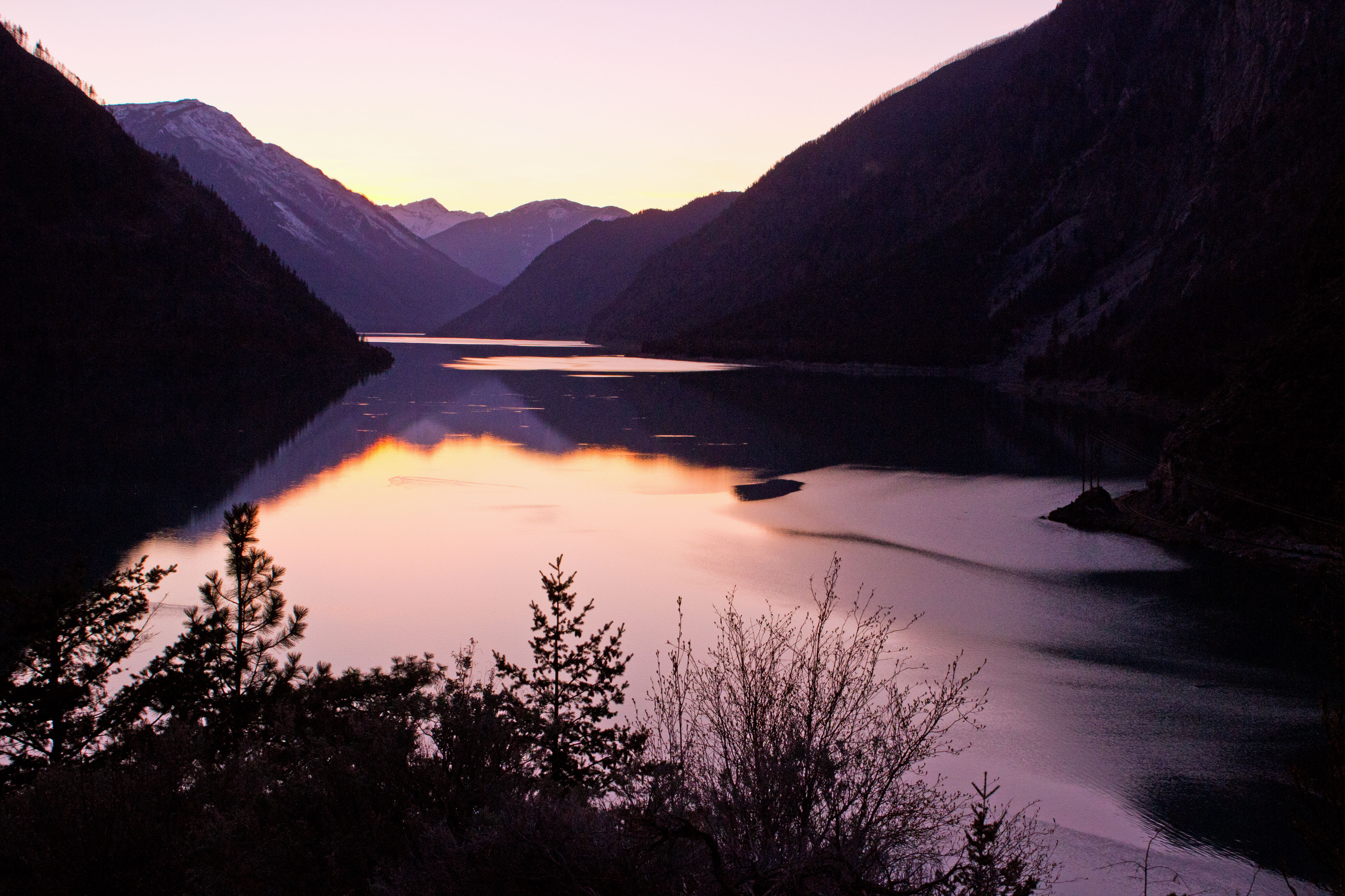
Lillooet, Seton Lake Sunset
AS THE EAGLE FLIES

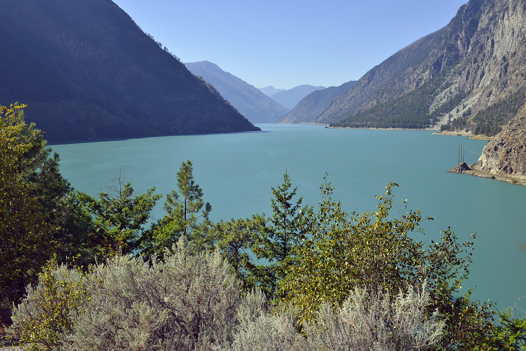
Seton Lake
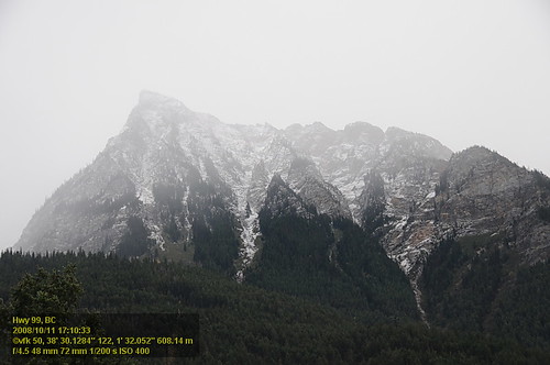
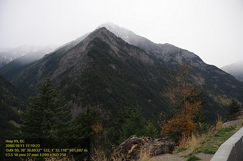
Hwy 99 VF2_9391.JPG

View of Seton Lake
British Columbia, Canada
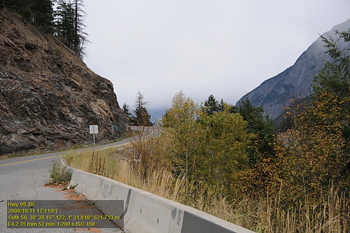
Hwy 99 VF2_9390.JPG
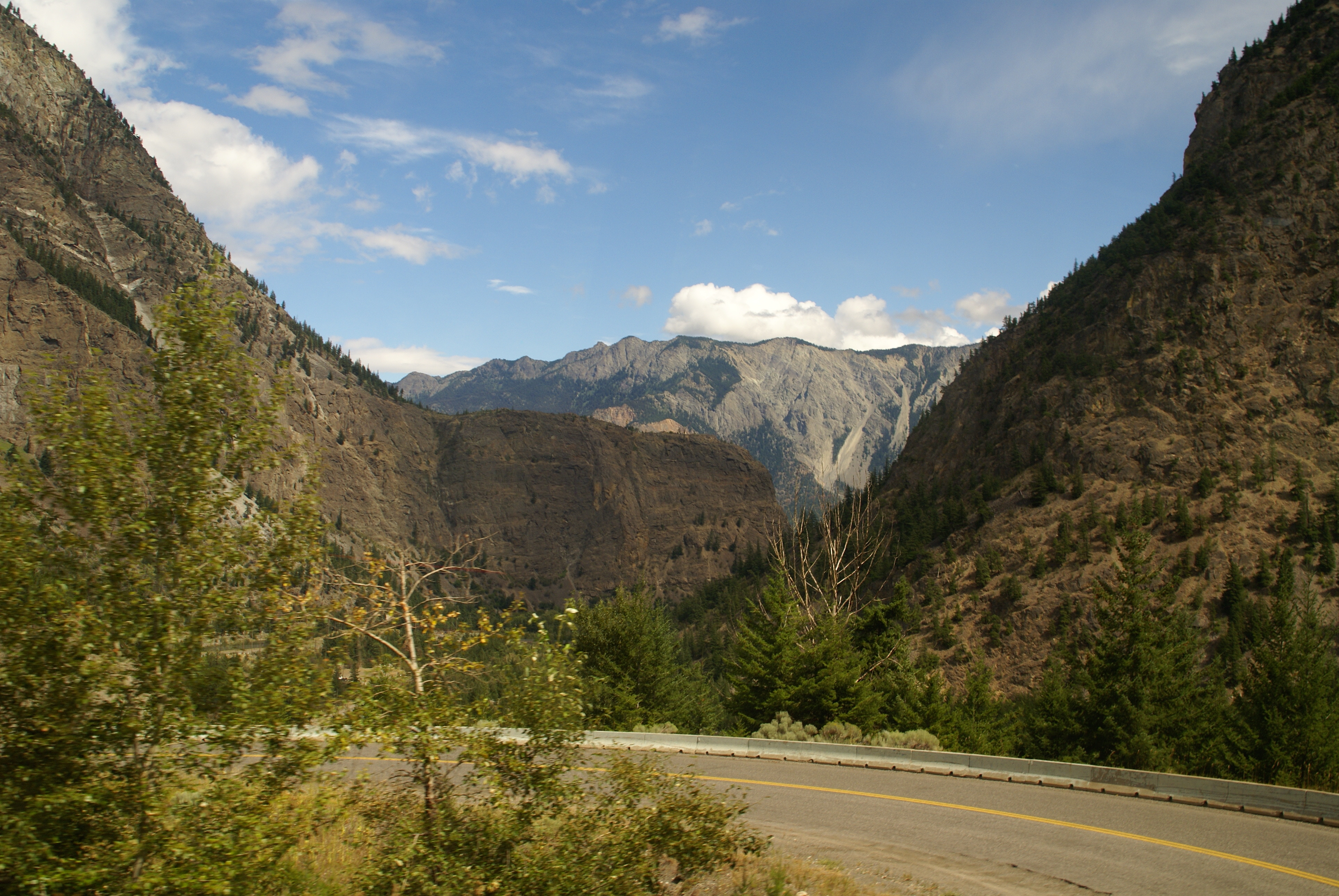
Hwy 99 VF2_9393.JPG
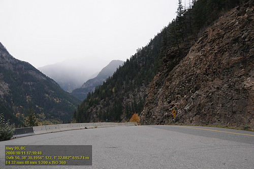
Long Road out of Whistler
Long Road out of Whistler
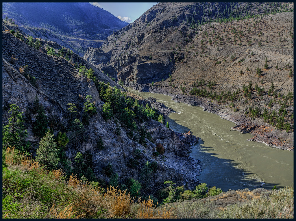
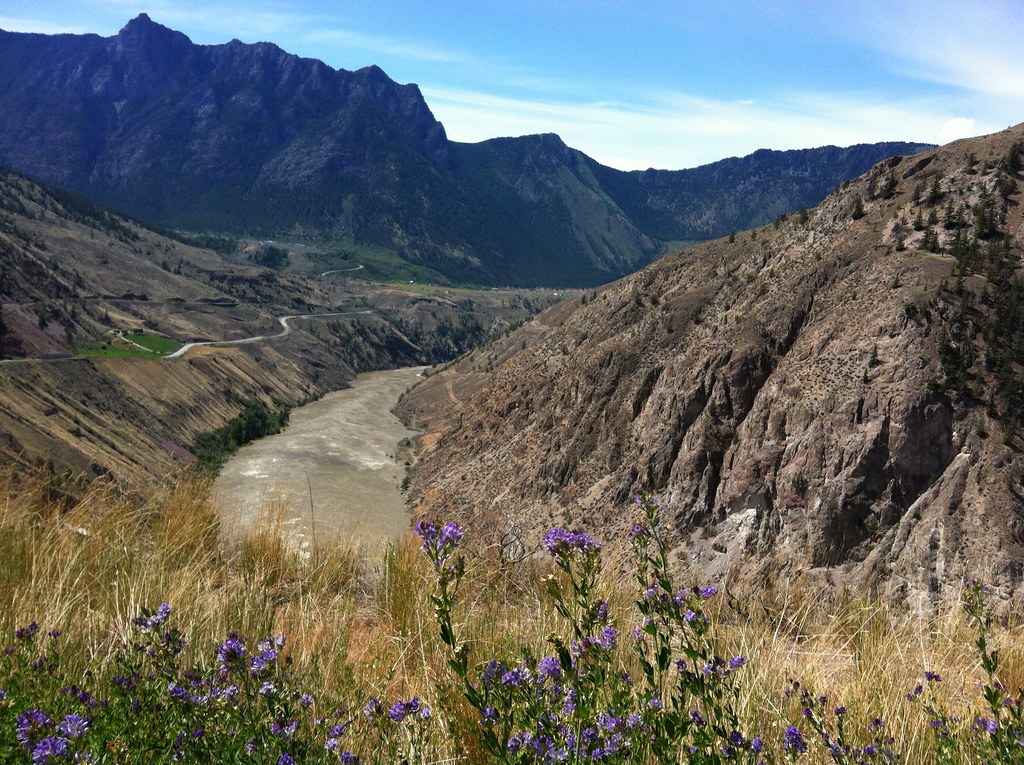
Fraser Canyon
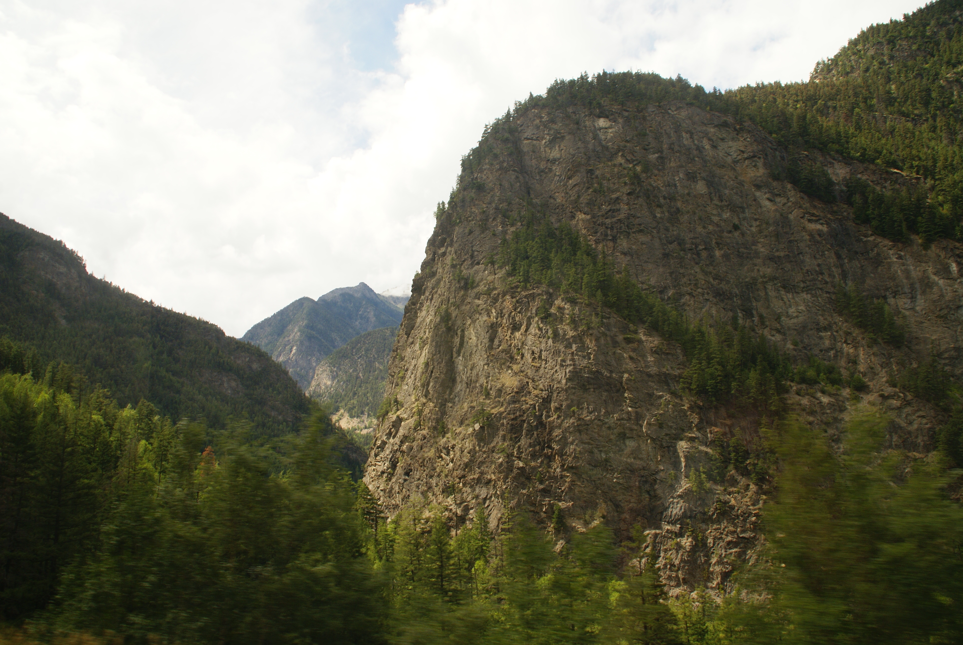
Hwy 99 VF2_9392.JPG
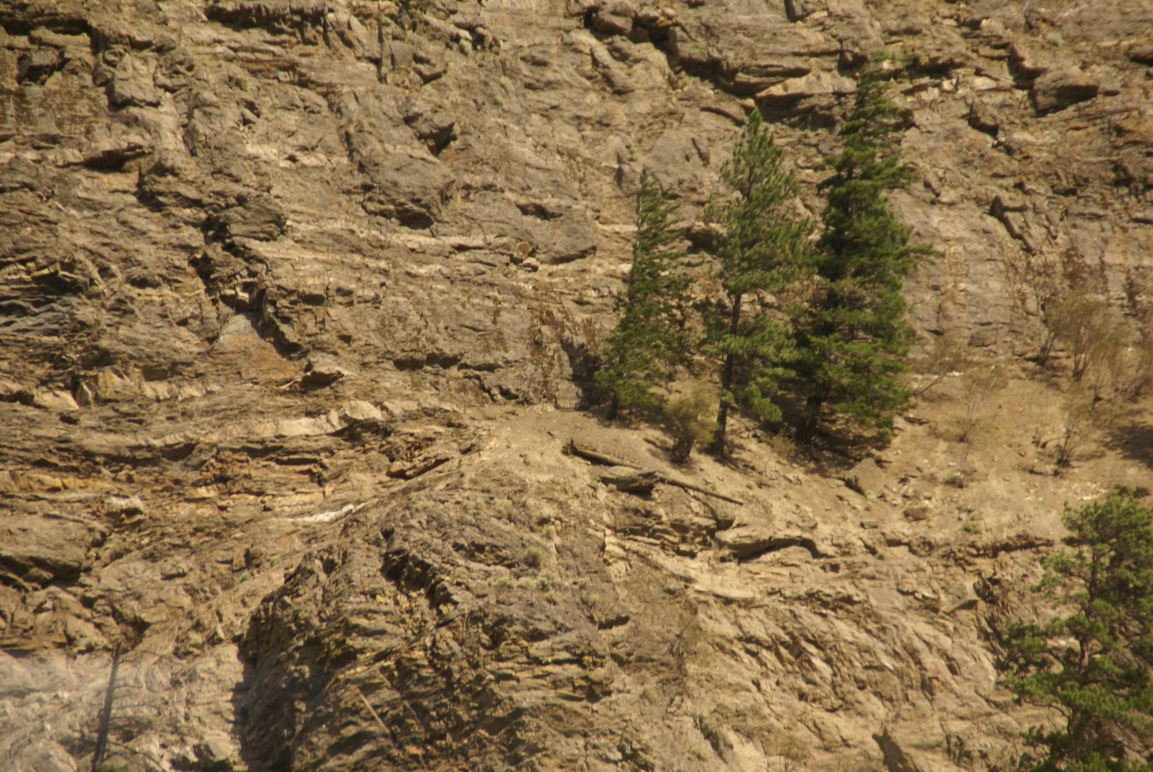
Trees on Cliff
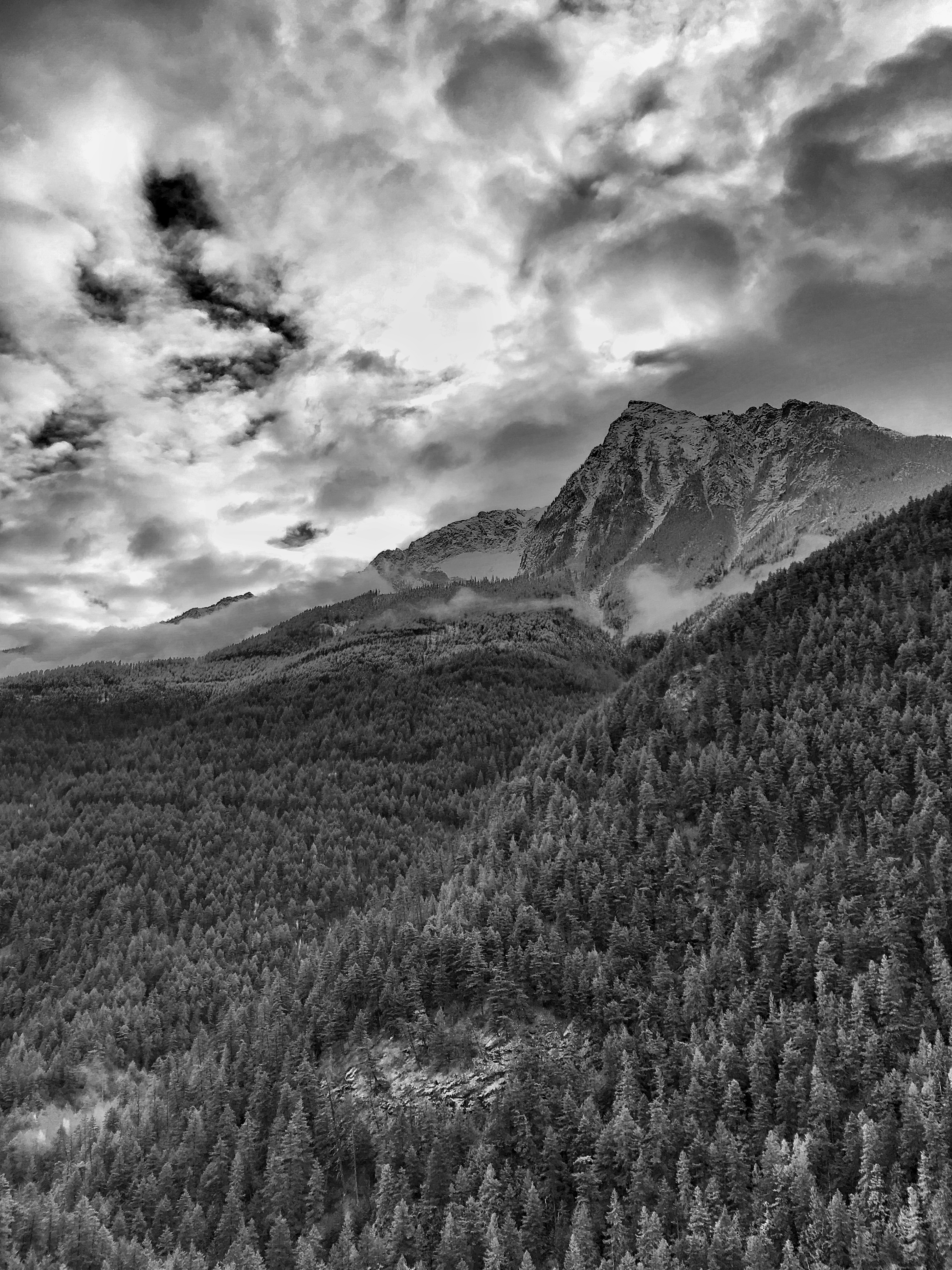
Fall View on Highway 99

Curve view
Bridge River Indian Band, Joseph Rd, Lillooet, BC V0K 1V0, Canada Map
Search another place
Near Places
Bridge River 1, Squamish-Lillooet B, BC V0K, Canada
West Pavilion Road, W Pavilion Rd, British Columbia V0K, Canada
Taylor Rd, Mile House, BC V0K 2E3, Canada
Manson Rd, Mile House, BC V0K 2E3, Canada
Fraser Cove Campground Ltd, Davis Road, Lillooet, BC V0K 1V0, Canada
91 Scotchman Rd, Mile House, BC V0K 2E3, Canada
Lillooet, BC V0K, Canada
Fountain Peak, Squamish-Lillooet B, BC V0K 1V0, Canada
Lillooet, BC, Canada
Seton Lake, British Columbia, Canada
Pavilion, BC V0K, Canada
Shalalth, BC V0N 3C0, Canada
Moha, BC V0K, Canada
Fountain Valley Road, Fountain Valley Rd, British Columbia V0K 1V0, Canada
Shalalth, BC V0K 2E3, Canada
Squamish-Lillooet B, BC, Canada
Seton Portage, BC V0N, Canada
Anderson Lake Road, Anderson Lake Rd, D'Arcy, BC V0N 1L0, Canada
Clinton, BC V0K, Canada
Thompson-Nicola E, BC, Canada
Recent Searches
- Sunrise Sunset Times of 1-chome Tsukaguchicho, Amagasaki, Hyogo -, Japan
- Sunrise Sunset Times of Kusushi Shrine, Subashiri, Oyama, Sunto District, Shizuoka -, Japan
- Sunrise Sunset Times of Sinai St 16, Be'er Sheva, Israel
- Sunrise Sunset Times of Presidente Quintana & Emilio Mitre, Carlos Keen, Provincia de Buenos Aires, Argentina
- Sunrise Sunset Times of Deep Gap Farm Rd E, Mill Spring, NC, USA
- Sunrise Sunset Times of Jiujiangzhen, Nanhai District, Foshan, Guangdong Province, China
- Sunrise Sunset Times of Mountain View, CA, USA
- Sunrise Sunset Times of Road to the sky observatory, Shuenhigashi, Shari, Shari District, Hokkaido -, Japan
- Sunrise Sunset Times of 海岸咖啡, No. 31號, Chaishan Ave, Gushan District, Kaohsiung City, Taiwan
- Sunrise Sunset Times of Estates Loop, Priest River, ID, USA