Sunrise Sunset Times of Blacktail, MT, USA
Location: United States > Montana > Flathead County >
Timezone:
America/Denver
Current Time:
2024-05-05 08:50:34
Longitude:
-113.4481539
Latitude:
48.2769063
Sunrise Today:
06:06:34 AM
Sunset Today:
08:54:16 PM
Daylength Today:
14h 47m 42s
Sunrise Tomorrow:
06:05:02 AM
Sunset Tomorrow:
08:55:40 PM
Daylength Tomorrow:
14h 50m 38s
Year Show All Dates
| Date | Sunrise | Sunset | Daylength |
|---|---|---|---|
| 01/01/2024 | 08:24:35 AM | 04:50:41 PM | 8h 26m 6s |
| 01/02/2024 | 08:24:30 AM | 04:51:42 PM | 8h 27m 12s |
| 01/03/2024 | 08:24:23 AM | 04:52:44 PM | 8h 28m 21s |
| 01/04/2024 | 08:24:12 AM | 04:53:49 PM | 8h 29m 37s |
| 01/05/2024 | 08:23:58 AM | 04:54:56 PM | 8h 30m 58s |
| 01/06/2024 | 08:23:42 AM | 04:56:05 PM | 8h 32m 23s |
| 01/07/2024 | 08:23:22 AM | 04:57:16 PM | 8h 33m 54s |
| 01/08/2024 | 08:23:00 AM | 04:58:29 PM | 8h 35m 29s |
| 01/09/2024 | 08:22:35 AM | 04:59:43 PM | 8h 37m 8s |
| 01/10/2024 | 08:22:06 AM | 05:00:59 PM | 8h 38m 53s |
| 01/11/2024 | 08:21:36 AM | 05:02:17 PM | 8h 40m 41s |
| 01/12/2024 | 08:21:02 AM | 05:03:37 PM | 8h 42m 35s |
| 01/13/2024 | 08:20:26 AM | 05:04:57 PM | 8h 44m 31s |
| 01/14/2024 | 08:19:47 AM | 05:06:20 PM | 8h 46m 33s |
| 01/15/2024 | 08:19:05 AM | 05:07:43 PM | 8h 48m 38s |
| 01/16/2024 | 08:18:21 AM | 05:09:08 PM | 8h 50m 47s |
| 01/17/2024 | 08:17:34 AM | 05:10:34 PM | 8h 53m 0s |
| 01/18/2024 | 08:16:44 AM | 05:12:01 PM | 8h 55m 17s |
| 01/19/2024 | 08:15:52 AM | 05:13:29 PM | 8h 57m 37s |
| 01/20/2024 | 08:14:58 AM | 05:14:59 PM | 9h 0m 1s |
| 01/21/2024 | 08:14:01 AM | 05:16:29 PM | 9h 2m 28s |
| 01/22/2024 | 08:13:02 AM | 05:18:00 PM | 9h 4m 58s |
| 01/23/2024 | 08:12:00 AM | 05:19:31 PM | 9h 7m 31s |
| 01/24/2024 | 08:10:56 AM | 05:21:04 PM | 9h 10m 8s |
| 01/25/2024 | 08:09:50 AM | 05:22:37 PM | 9h 12m 47s |
| 01/26/2024 | 08:08:42 AM | 05:24:11 PM | 9h 15m 29s |
| 01/27/2024 | 08:07:31 AM | 05:25:45 PM | 9h 18m 14s |
| 01/28/2024 | 08:06:18 AM | 05:27:20 PM | 9h 21m 2s |
| 01/29/2024 | 08:05:04 AM | 05:28:55 PM | 9h 23m 51s |
| 01/30/2024 | 08:03:47 AM | 05:30:30 PM | 9h 26m 43s |
| 01/31/2024 | 08:02:28 AM | 05:32:06 PM | 9h 29m 38s |
| 02/01/2024 | 08:01:08 AM | 05:33:42 PM | 9h 32m 34s |
| 02/02/2024 | 07:59:45 AM | 05:35:19 PM | 9h 35m 34s |
| 02/03/2024 | 07:58:21 AM | 05:36:56 PM | 9h 38m 35s |
| 02/04/2024 | 07:56:55 AM | 05:38:32 PM | 9h 41m 37s |
| 02/05/2024 | 07:55:27 AM | 05:40:09 PM | 9h 44m 42s |
| 02/06/2024 | 07:53:57 AM | 05:41:46 PM | 9h 47m 49s |
| 02/07/2024 | 07:52:26 AM | 05:43:23 PM | 9h 50m 57s |
| 02/08/2024 | 07:50:54 AM | 05:45:00 PM | 9h 54m 6s |
| 02/09/2024 | 07:49:19 AM | 05:46:37 PM | 9h 57m 18s |
| 02/10/2024 | 07:47:43 AM | 05:48:14 PM | 10h 0m 31s |
| 02/11/2024 | 07:46:06 AM | 05:49:51 PM | 10h 3m 45s |
| 02/12/2024 | 07:44:28 AM | 05:51:28 PM | 10h 7m 0s |
| 02/13/2024 | 07:42:47 AM | 05:53:05 PM | 10h 10m 18s |
| 02/14/2024 | 07:41:06 AM | 05:54:42 PM | 10h 13m 36s |
| 02/15/2024 | 07:39:23 AM | 05:56:18 PM | 10h 16m 55s |
| 02/16/2024 | 07:37:40 AM | 05:57:54 PM | 10h 20m 14s |
| 02/17/2024 | 07:35:54 AM | 05:59:30 PM | 10h 23m 36s |
| 02/18/2024 | 07:34:08 AM | 06:01:06 PM | 10h 26m 58s |
| 02/19/2024 | 07:32:21 AM | 06:02:42 PM | 10h 30m 21s |
| 02/20/2024 | 07:30:32 AM | 06:04:17 PM | 10h 33m 45s |
| 02/21/2024 | 07:28:43 AM | 06:05:52 PM | 10h 37m 9s |
| 02/22/2024 | 07:26:52 AM | 06:07:27 PM | 10h 40m 35s |
| 02/23/2024 | 07:25:01 AM | 06:09:02 PM | 10h 44m 1s |
| 02/24/2024 | 07:23:08 AM | 06:10:36 PM | 10h 47m 28s |
| 02/25/2024 | 07:21:15 AM | 06:12:10 PM | 10h 50m 55s |
| 02/26/2024 | 07:19:21 AM | 06:13:44 PM | 10h 54m 23s |
| 02/27/2024 | 07:17:26 AM | 06:15:17 PM | 10h 57m 51s |
| 02/28/2024 | 07:15:30 AM | 06:16:51 PM | 11h 1m 21s |
| 02/29/2024 | 07:13:34 AM | 06:18:24 PM | 11h 4m 50s |
| 03/01/2024 | 07:11:36 AM | 06:19:56 PM | 11h 8m 20s |
| 03/02/2024 | 07:09:39 AM | 06:21:29 PM | 11h 11m 50s |
| 03/03/2024 | 07:07:40 AM | 06:23:01 PM | 11h 15m 21s |
| 03/04/2024 | 07:05:41 AM | 06:24:33 PM | 11h 18m 52s |
| 03/05/2024 | 07:03:41 AM | 06:26:04 PM | 11h 22m 23s |
| 03/06/2024 | 07:01:41 AM | 06:27:36 PM | 11h 25m 55s |
| 03/07/2024 | 06:59:40 AM | 06:29:07 PM | 11h 29m 27s |
| 03/08/2024 | 06:57:39 AM | 06:30:38 PM | 11h 32m 59s |
| 03/09/2024 | 06:55:38 AM | 06:32:08 PM | 11h 36m 30s |
| 03/10/2024 | 07:53:41 AM | 07:33:35 PM | 11h 39m 54s |
| 03/11/2024 | 07:51:39 AM | 07:35:05 PM | 11h 43m 26s |
| 03/12/2024 | 07:49:36 AM | 07:36:35 PM | 11h 46m 59s |
| 03/13/2024 | 07:47:33 AM | 07:38:04 PM | 11h 50m 31s |
| 03/14/2024 | 07:45:30 AM | 07:39:34 PM | 11h 54m 4s |
| 03/15/2024 | 07:43:26 AM | 07:41:03 PM | 11h 57m 37s |
| 03/16/2024 | 07:41:23 AM | 07:42:32 PM | 12h 1m 9s |
| 03/17/2024 | 07:39:19 AM | 07:44:01 PM | 12h 4m 42s |
| 03/18/2024 | 07:37:15 AM | 07:45:30 PM | 12h 8m 15s |
| 03/19/2024 | 07:35:11 AM | 07:46:59 PM | 12h 11m 48s |
| 03/20/2024 | 07:33:06 AM | 07:48:27 PM | 12h 15m 21s |
| 03/21/2024 | 07:31:02 AM | 07:49:56 PM | 12h 18m 54s |
| 03/22/2024 | 07:28:58 AM | 07:51:24 PM | 12h 22m 26s |
| 03/23/2024 | 07:26:54 AM | 07:52:52 PM | 12h 25m 58s |
| 03/24/2024 | 07:24:49 AM | 07:54:20 PM | 12h 29m 31s |
| 03/25/2024 | 07:22:45 AM | 07:55:48 PM | 12h 33m 3s |
| 03/26/2024 | 07:20:41 AM | 07:57:16 PM | 12h 36m 35s |
| 03/27/2024 | 07:18:37 AM | 07:58:43 PM | 12h 40m 6s |
| 03/28/2024 | 07:16:34 AM | 08:00:11 PM | 12h 43m 37s |
| 03/29/2024 | 07:14:30 AM | 08:01:39 PM | 12h 47m 9s |
| 03/30/2024 | 07:12:27 AM | 08:03:06 PM | 12h 50m 39s |
| 03/31/2024 | 07:10:24 AM | 08:04:34 PM | 12h 54m 10s |
| 04/01/2024 | 07:08:21 AM | 08:06:01 PM | 12h 57m 40s |
| 04/02/2024 | 07:06:19 AM | 08:07:29 PM | 13h 1m 10s |
| 04/03/2024 | 07:04:16 AM | 08:08:56 PM | 13h 4m 40s |
| 04/04/2024 | 07:02:15 AM | 08:10:23 PM | 13h 8m 8s |
| 04/05/2024 | 07:00:13 AM | 08:11:51 PM | 13h 11m 38s |
| 04/06/2024 | 06:58:13 AM | 08:13:18 PM | 13h 15m 5s |
| 04/07/2024 | 06:56:12 AM | 08:14:45 PM | 13h 18m 33s |
| 04/08/2024 | 06:54:12 AM | 08:16:13 PM | 13h 22m 1s |
| 04/09/2024 | 06:52:13 AM | 08:17:40 PM | 13h 25m 27s |
| 04/10/2024 | 06:50:14 AM | 08:19:07 PM | 13h 28m 53s |
| 04/11/2024 | 06:48:16 AM | 08:20:35 PM | 13h 32m 19s |
| 04/12/2024 | 06:46:19 AM | 08:22:02 PM | 13h 35m 43s |
| 04/13/2024 | 06:44:22 AM | 08:23:29 PM | 13h 39m 7s |
| 04/14/2024 | 06:42:26 AM | 08:24:56 PM | 13h 42m 30s |
| 04/15/2024 | 06:40:31 AM | 08:26:24 PM | 13h 45m 53s |
| 04/16/2024 | 06:38:36 AM | 08:27:51 PM | 13h 49m 15s |
| 04/17/2024 | 06:36:43 AM | 08:29:18 PM | 13h 52m 35s |
| 04/18/2024 | 06:34:50 AM | 08:30:45 PM | 13h 55m 55s |
| 04/19/2024 | 06:32:58 AM | 08:32:12 PM | 13h 59m 14s |
| 04/20/2024 | 06:31:07 AM | 08:33:39 PM | 14h 2m 32s |
| 04/21/2024 | 06:29:17 AM | 08:35:06 PM | 14h 5m 49s |
| 04/22/2024 | 06:27:28 AM | 08:36:33 PM | 14h 9m 5s |
| 04/23/2024 | 06:25:40 AM | 08:37:59 PM | 14h 12m 19s |
| 04/24/2024 | 06:23:53 AM | 08:39:26 PM | 14h 15m 33s |
| 04/25/2024 | 06:22:07 AM | 08:40:53 PM | 14h 18m 46s |
| 04/26/2024 | 06:20:23 AM | 08:42:19 PM | 14h 21m 56s |
| 04/27/2024 | 06:18:39 AM | 08:43:45 PM | 14h 25m 6s |
| 04/28/2024 | 06:16:57 AM | 08:45:11 PM | 14h 28m 14s |
| 04/29/2024 | 06:15:16 AM | 08:46:37 PM | 14h 31m 21s |
| 04/30/2024 | 06:13:37 AM | 08:48:02 PM | 14h 34m 25s |
| 05/01/2024 | 06:11:59 AM | 08:49:27 PM | 14h 37m 28s |
| 05/02/2024 | 06:10:22 AM | 08:50:52 PM | 14h 40m 30s |
| 05/03/2024 | 06:08:46 AM | 08:52:17 PM | 14h 43m 31s |
| 05/04/2024 | 06:07:12 AM | 08:53:41 PM | 14h 46m 29s |
| 05/05/2024 | 06:05:40 AM | 08:55:05 PM | 14h 49m 25s |
| 05/06/2024 | 06:04:09 AM | 08:56:28 PM | 14h 52m 19s |
| 05/07/2024 | 06:02:40 AM | 08:57:51 PM | 14h 55m 11s |
| 05/08/2024 | 06:01:12 AM | 08:59:13 PM | 14h 58m 1s |
| 05/09/2024 | 05:59:47 AM | 09:00:35 PM | 15h 0m 48s |
| 05/10/2024 | 05:58:22 AM | 09:01:57 PM | 15h 3m 35s |
| 05/11/2024 | 05:57:00 AM | 09:03:17 PM | 15h 6m 17s |
| 05/12/2024 | 05:55:39 AM | 09:04:37 PM | 15h 8m 58s |
| 05/13/2024 | 05:54:21 AM | 09:05:57 PM | 15h 11m 36s |
| 05/14/2024 | 05:53:04 AM | 09:07:15 PM | 15h 14m 11s |
| 05/15/2024 | 05:51:49 AM | 09:08:33 PM | 15h 16m 44s |
| 05/16/2024 | 05:50:36 AM | 09:09:50 PM | 15h 19m 14s |
| 05/17/2024 | 05:49:25 AM | 09:11:05 PM | 15h 21m 40s |
| 05/18/2024 | 05:48:16 AM | 09:12:20 PM | 15h 24m 4s |
| 05/19/2024 | 05:47:10 AM | 09:13:34 PM | 15h 26m 24s |
| 05/20/2024 | 05:46:05 AM | 09:14:47 PM | 15h 28m 42s |
| 05/21/2024 | 05:45:03 AM | 09:15:59 PM | 15h 30m 56s |
| 05/22/2024 | 05:44:02 AM | 09:17:09 PM | 15h 33m 7s |
| 05/23/2024 | 05:43:05 AM | 09:18:19 PM | 15h 35m 14s |
| 05/24/2024 | 05:42:09 AM | 09:19:27 PM | 15h 37m 18s |
| 05/25/2024 | 05:41:16 AM | 09:20:33 PM | 15h 39m 17s |
| 05/26/2024 | 05:40:25 AM | 09:21:39 PM | 15h 41m 14s |
| 05/27/2024 | 05:39:36 AM | 09:22:42 PM | 15h 43m 6s |
| 05/28/2024 | 05:38:50 AM | 09:23:45 PM | 15h 44m 55s |
| 05/29/2024 | 05:38:06 AM | 09:24:45 PM | 15h 46m 39s |
| 05/30/2024 | 05:37:25 AM | 09:25:44 PM | 15h 48m 19s |
| 05/31/2024 | 05:36:46 AM | 09:26:42 PM | 15h 49m 56s |
| 06/01/2024 | 05:36:10 AM | 09:27:37 PM | 15h 51m 27s |
| 06/02/2024 | 05:35:36 AM | 09:28:31 PM | 15h 52m 55s |
| 06/03/2024 | 05:35:05 AM | 09:29:23 PM | 15h 54m 18s |
| 06/04/2024 | 05:34:37 AM | 09:30:13 PM | 15h 55m 36s |
| 06/05/2024 | 05:34:11 AM | 09:31:01 PM | 15h 56m 50s |
| 06/06/2024 | 05:33:48 AM | 09:31:46 PM | 15h 57m 58s |
| 06/07/2024 | 05:33:27 AM | 09:32:30 PM | 15h 59m 3s |
| 06/08/2024 | 05:33:09 AM | 09:33:12 PM | 16h 0m 3s |
| 06/09/2024 | 05:32:54 AM | 09:33:51 PM | 16h 0m 57s |
| 06/10/2024 | 05:32:41 AM | 09:34:28 PM | 16h 1m 47s |
| 06/11/2024 | 05:32:31 AM | 09:35:03 PM | 16h 2m 32s |
| 06/12/2024 | 05:32:24 AM | 09:35:36 PM | 16h 3m 12s |
| 06/13/2024 | 05:32:19 AM | 09:36:06 PM | 16h 3m 47s |
| 06/14/2024 | 05:32:17 AM | 09:36:34 PM | 16h 4m 17s |
| 06/15/2024 | 05:32:18 AM | 09:36:59 PM | 16h 4m 41s |
| 06/16/2024 | 05:32:21 AM | 09:37:22 PM | 16h 5m 1s |
| 06/17/2024 | 05:32:27 AM | 09:37:42 PM | 16h 5m 15s |
| 06/18/2024 | 05:32:35 AM | 09:38:00 PM | 16h 5m 25s |
| 06/19/2024 | 05:32:46 AM | 09:38:15 PM | 16h 5m 29s |
| 06/20/2024 | 05:33:00 AM | 09:38:27 PM | 16h 5m 27s |
| 06/21/2024 | 05:33:16 AM | 09:38:37 PM | 16h 5m 21s |
| 06/22/2024 | 05:33:35 AM | 09:38:44 PM | 16h 5m 9s |
| 06/23/2024 | 05:33:56 AM | 09:38:49 PM | 16h 4m 53s |
| 06/24/2024 | 05:34:19 AM | 09:38:51 PM | 16h 4m 32s |
| 06/25/2024 | 05:34:45 AM | 09:38:50 PM | 16h 4m 5s |
| 06/26/2024 | 05:35:14 AM | 09:38:47 PM | 16h 3m 33s |
| 06/27/2024 | 05:35:44 AM | 09:38:40 PM | 16h 2m 56s |
| 06/28/2024 | 05:36:17 AM | 09:38:32 PM | 16h 2m 15s |
| 06/29/2024 | 05:36:52 AM | 09:38:20 PM | 16h 1m 28s |
| 06/30/2024 | 05:37:30 AM | 09:38:06 PM | 16h 0m 36s |
| 07/01/2024 | 05:38:09 AM | 09:37:49 PM | 15h 59m 40s |
| 07/02/2024 | 05:38:51 AM | 09:37:29 PM | 15h 58m 38s |
| 07/03/2024 | 05:39:34 AM | 09:37:07 PM | 15h 57m 33s |
| 07/04/2024 | 05:40:20 AM | 09:36:42 PM | 15h 56m 22s |
| 07/05/2024 | 05:41:08 AM | 09:36:14 PM | 15h 55m 6s |
| 07/06/2024 | 05:41:57 AM | 09:35:44 PM | 15h 53m 47s |
| 07/07/2024 | 05:42:48 AM | 09:35:11 PM | 15h 52m 23s |
| 07/08/2024 | 05:43:41 AM | 09:34:35 PM | 15h 50m 54s |
| 07/09/2024 | 05:44:36 AM | 09:33:57 PM | 15h 49m 21s |
| 07/10/2024 | 05:45:32 AM | 09:33:16 PM | 15h 47m 44s |
| 07/11/2024 | 05:46:30 AM | 09:32:33 PM | 15h 46m 3s |
| 07/12/2024 | 05:47:30 AM | 09:31:48 PM | 15h 44m 18s |
| 07/13/2024 | 05:48:31 AM | 09:30:59 PM | 15h 42m 28s |
| 07/14/2024 | 05:49:33 AM | 09:30:09 PM | 15h 40m 36s |
| 07/15/2024 | 05:50:37 AM | 09:29:16 PM | 15h 38m 39s |
| 07/16/2024 | 05:51:42 AM | 09:28:21 PM | 15h 36m 39s |
| 07/17/2024 | 05:52:49 AM | 09:27:23 PM | 15h 34m 34s |
| 07/18/2024 | 05:53:56 AM | 09:26:23 PM | 15h 32m 27s |
| 07/19/2024 | 05:55:05 AM | 09:25:21 PM | 15h 30m 16s |
| 07/20/2024 | 05:56:15 AM | 09:24:17 PM | 15h 28m 2s |
| 07/21/2024 | 05:57:25 AM | 09:23:10 PM | 15h 25m 45s |
| 07/22/2024 | 05:58:37 AM | 09:22:02 PM | 15h 23m 25s |
| 07/23/2024 | 05:59:50 AM | 09:20:51 PM | 15h 21m 1s |
| 07/24/2024 | 06:01:03 AM | 09:19:38 PM | 15h 18m 35s |
| 07/25/2024 | 06:02:18 AM | 09:18:23 PM | 15h 16m 5s |
| 07/26/2024 | 06:03:33 AM | 09:17:06 PM | 15h 13m 33s |
| 07/27/2024 | 06:04:49 AM | 09:15:48 PM | 15h 10m 59s |
| 07/28/2024 | 06:06:05 AM | 09:14:27 PM | 15h 8m 22s |
| 07/29/2024 | 06:07:22 AM | 09:13:05 PM | 15h 5m 43s |
| 07/30/2024 | 06:08:40 AM | 09:11:40 PM | 15h 3m 0s |
| 07/31/2024 | 06:09:58 AM | 09:10:14 PM | 15h 0m 16s |
| 08/01/2024 | 06:11:17 AM | 09:08:47 PM | 14h 57m 30s |
| 08/02/2024 | 06:12:36 AM | 09:07:17 PM | 14h 54m 41s |
| 08/03/2024 | 06:13:56 AM | 09:05:46 PM | 14h 51m 50s |
| 08/04/2024 | 06:15:16 AM | 09:04:14 PM | 14h 48m 58s |
| 08/05/2024 | 06:16:37 AM | 09:02:39 PM | 14h 46m 2s |
| 08/06/2024 | 06:17:57 AM | 09:01:04 PM | 14h 43m 7s |
| 08/07/2024 | 06:19:18 AM | 08:59:27 PM | 14h 40m 9s |
| 08/08/2024 | 06:20:40 AM | 08:57:48 PM | 14h 37m 8s |
| 08/09/2024 | 06:22:01 AM | 08:56:08 PM | 14h 34m 7s |
| 08/10/2024 | 06:23:23 AM | 08:54:27 PM | 14h 31m 4s |
| 08/11/2024 | 06:24:45 AM | 08:52:44 PM | 14h 27m 59s |
| 08/12/2024 | 06:26:07 AM | 08:51:00 PM | 14h 24m 53s |
| 08/13/2024 | 06:27:29 AM | 08:49:15 PM | 14h 21m 46s |
| 08/14/2024 | 06:28:52 AM | 08:47:29 PM | 14h 18m 37s |
| 08/15/2024 | 06:30:14 AM | 08:45:41 PM | 14h 15m 27s |
| 08/16/2024 | 06:31:36 AM | 08:43:53 PM | 14h 12m 17s |
| 08/17/2024 | 06:32:59 AM | 08:42:03 PM | 14h 9m 4s |
| 08/18/2024 | 06:34:22 AM | 08:40:13 PM | 14h 5m 51s |
| 08/19/2024 | 06:35:44 AM | 08:38:21 PM | 14h 2m 37s |
| 08/20/2024 | 06:37:07 AM | 08:36:28 PM | 13h 59m 21s |
| 08/21/2024 | 06:38:30 AM | 08:34:35 PM | 13h 56m 5s |
| 08/22/2024 | 06:39:53 AM | 08:32:40 PM | 13h 52m 47s |
| 08/23/2024 | 06:41:15 AM | 08:30:45 PM | 13h 49m 30s |
| 08/24/2024 | 06:42:38 AM | 08:28:49 PM | 13h 46m 11s |
| 08/25/2024 | 06:44:01 AM | 08:26:52 PM | 13h 42m 51s |
| 08/26/2024 | 06:45:24 AM | 08:24:55 PM | 13h 39m 31s |
| 08/27/2024 | 06:46:46 AM | 08:22:56 PM | 13h 36m 10s |
| 08/28/2024 | 06:48:09 AM | 08:20:57 PM | 13h 32m 48s |
| 08/29/2024 | 06:49:32 AM | 08:18:58 PM | 13h 29m 26s |
| 08/30/2024 | 06:50:54 AM | 08:16:57 PM | 13h 26m 3s |
| 08/31/2024 | 06:52:17 AM | 08:14:56 PM | 13h 22m 39s |
| 09/01/2024 | 06:53:40 AM | 08:12:55 PM | 13h 19m 15s |
| 09/02/2024 | 06:55:02 AM | 08:10:53 PM | 13h 15m 51s |
| 09/03/2024 | 06:56:25 AM | 08:08:51 PM | 13h 12m 26s |
| 09/04/2024 | 06:57:47 AM | 08:06:48 PM | 13h 9m 1s |
| 09/05/2024 | 06:59:10 AM | 08:04:44 PM | 13h 5m 34s |
| 09/06/2024 | 07:00:32 AM | 08:02:41 PM | 13h 2m 9s |
| 09/07/2024 | 07:01:55 AM | 08:00:37 PM | 12h 58m 42s |
| 09/08/2024 | 07:03:18 AM | 07:58:32 PM | 12h 55m 14s |
| 09/09/2024 | 07:04:40 AM | 07:56:28 PM | 12h 51m 48s |
| 09/10/2024 | 07:06:03 AM | 07:54:23 PM | 12h 48m 20s |
| 09/11/2024 | 07:07:26 AM | 07:52:18 PM | 12h 44m 52s |
| 09/12/2024 | 07:08:48 AM | 07:50:12 PM | 12h 41m 24s |
| 09/13/2024 | 07:10:11 AM | 07:48:07 PM | 12h 37m 56s |
| 09/14/2024 | 07:11:34 AM | 07:46:01 PM | 12h 34m 27s |
| 09/15/2024 | 07:12:57 AM | 07:43:55 PM | 12h 30m 58s |
| 09/16/2024 | 07:14:20 AM | 07:41:49 PM | 12h 27m 29s |
| 09/17/2024 | 07:15:43 AM | 07:39:43 PM | 12h 24m 0s |
| 09/18/2024 | 07:17:06 AM | 07:37:37 PM | 12h 20m 31s |
| 09/19/2024 | 07:18:30 AM | 07:35:31 PM | 12h 17m 1s |
| 09/20/2024 | 07:19:53 AM | 07:33:25 PM | 12h 13m 32s |
| 09/21/2024 | 07:21:17 AM | 07:31:19 PM | 12h 10m 2s |
| 09/22/2024 | 07:22:40 AM | 07:29:14 PM | 12h 6m 34s |
| 09/23/2024 | 07:24:04 AM | 07:27:08 PM | 12h 3m 4s |
| 09/24/2024 | 07:25:28 AM | 07:25:03 PM | 11h 59m 35s |
| 09/25/2024 | 07:26:52 AM | 07:22:57 PM | 11h 56m 5s |
| 09/26/2024 | 07:28:17 AM | 07:20:52 PM | 11h 52m 35s |
| 09/27/2024 | 07:29:41 AM | 07:18:47 PM | 11h 49m 6s |
| 09/28/2024 | 07:31:06 AM | 07:16:43 PM | 11h 45m 37s |
| 09/29/2024 | 07:32:31 AM | 07:14:38 PM | 11h 42m 7s |
| 09/30/2024 | 07:33:57 AM | 07:12:35 PM | 11h 38m 38s |
| 10/01/2024 | 07:35:22 AM | 07:10:31 PM | 11h 35m 9s |
| 10/02/2024 | 07:36:48 AM | 07:08:28 PM | 11h 31m 40s |
| 10/03/2024 | 07:38:14 AM | 07:06:25 PM | 11h 28m 11s |
| 10/04/2024 | 07:39:40 AM | 07:04:23 PM | 11h 24m 43s |
| 10/05/2024 | 07:41:07 AM | 07:02:21 PM | 11h 21m 14s |
| 10/06/2024 | 07:42:34 AM | 07:00:20 PM | 11h 17m 46s |
| 10/07/2024 | 07:44:01 AM | 06:58:19 PM | 11h 14m 18s |
| 10/08/2024 | 07:45:28 AM | 06:56:19 PM | 11h 10m 51s |
| 10/09/2024 | 07:46:56 AM | 06:54:20 PM | 11h 7m 24s |
| 10/10/2024 | 07:48:24 AM | 06:52:21 PM | 11h 3m 57s |
| 10/11/2024 | 07:49:52 AM | 06:50:23 PM | 11h 0m 31s |
| 10/12/2024 | 07:51:21 AM | 06:48:26 PM | 10h 57m 5s |
| 10/13/2024 | 07:52:49 AM | 06:46:29 PM | 10h 53m 40s |
| 10/14/2024 | 07:54:19 AM | 06:44:33 PM | 10h 50m 14s |
| 10/15/2024 | 07:55:48 AM | 06:42:39 PM | 10h 46m 51s |
| 10/16/2024 | 07:57:18 AM | 06:40:45 PM | 10h 43m 27s |
| 10/17/2024 | 07:58:48 AM | 06:38:52 PM | 10h 40m 4s |
| 10/18/2024 | 08:00:18 AM | 06:36:59 PM | 10h 36m 41s |
| 10/19/2024 | 08:01:49 AM | 06:35:08 PM | 10h 33m 19s |
| 10/20/2024 | 08:03:20 AM | 06:33:18 PM | 10h 29m 58s |
| 10/21/2024 | 08:04:51 AM | 06:31:29 PM | 10h 26m 38s |
| 10/22/2024 | 08:06:23 AM | 06:29:41 PM | 10h 23m 18s |
| 10/23/2024 | 08:07:54 AM | 06:27:55 PM | 10h 20m 1s |
| 10/24/2024 | 08:09:26 AM | 06:26:09 PM | 10h 16m 43s |
| 10/25/2024 | 08:10:59 AM | 06:24:25 PM | 10h 13m 26s |
| 10/26/2024 | 08:12:31 AM | 06:22:42 PM | 10h 10m 11s |
| 10/27/2024 | 08:14:03 AM | 06:21:00 PM | 10h 6m 57s |
| 10/28/2024 | 08:15:36 AM | 06:19:20 PM | 10h 3m 44s |
| 10/29/2024 | 08:17:09 AM | 06:17:41 PM | 10h 0m 32s |
| 10/30/2024 | 08:18:42 AM | 06:16:03 PM | 9h 57m 21s |
| 10/31/2024 | 08:20:15 AM | 06:14:27 PM | 9h 54m 12s |
| 11/01/2024 | 08:21:48 AM | 06:12:53 PM | 9h 51m 5s |
| 11/02/2024 | 08:23:22 AM | 06:11:20 PM | 9h 47m 58s |
| 11/03/2024 | 07:24:59 AM | 05:09:45 PM | 9h 44m 46s |
| 11/04/2024 | 07:26:32 AM | 05:08:15 PM | 9h 41m 43s |
| 11/05/2024 | 07:28:05 AM | 05:06:48 PM | 9h 38m 43s |
| 11/06/2024 | 07:29:38 AM | 05:05:22 PM | 9h 35m 44s |
| 11/07/2024 | 07:31:11 AM | 05:03:57 PM | 9h 32m 46s |
| 11/08/2024 | 07:32:44 AM | 05:02:35 PM | 9h 29m 51s |
| 11/09/2024 | 07:34:17 AM | 05:01:15 PM | 9h 26m 58s |
| 11/10/2024 | 07:35:49 AM | 04:59:56 PM | 9h 24m 7s |
| 11/11/2024 | 07:37:21 AM | 04:58:40 PM | 9h 21m 19s |
| 11/12/2024 | 07:38:52 AM | 04:57:25 PM | 9h 18m 33s |
| 11/13/2024 | 07:40:24 AM | 04:56:13 PM | 9h 15m 49s |
| 11/14/2024 | 07:41:54 AM | 04:55:03 PM | 9h 13m 9s |
| 11/15/2024 | 07:43:25 AM | 04:53:55 PM | 9h 10m 30s |
| 11/16/2024 | 07:44:54 AM | 04:52:49 PM | 9h 7m 55s |
| 11/17/2024 | 07:46:24 AM | 04:51:46 PM | 9h 5m 22s |
| 11/18/2024 | 07:47:52 AM | 04:50:44 PM | 9h 2m 52s |
| 11/19/2024 | 07:49:20 AM | 04:49:46 PM | 9h 0m 26s |
| 11/20/2024 | 07:50:46 AM | 04:48:49 PM | 8h 58m 3s |
| 11/21/2024 | 07:52:12 AM | 04:47:56 PM | 8h 55m 44s |
| 11/22/2024 | 07:53:37 AM | 04:47:04 PM | 8h 53m 27s |
| 11/23/2024 | 07:55:01 AM | 04:46:15 PM | 8h 51m 14s |
| 11/24/2024 | 07:56:24 AM | 04:45:29 PM | 8h 49m 5s |
| 11/25/2024 | 07:57:46 AM | 04:44:46 PM | 8h 47m 0s |
| 11/26/2024 | 07:59:06 AM | 04:44:05 PM | 8h 44m 59s |
| 11/27/2024 | 08:00:26 AM | 04:43:27 PM | 8h 43m 1s |
| 11/28/2024 | 08:01:43 AM | 04:42:51 PM | 8h 41m 8s |
| 11/29/2024 | 08:03:00 AM | 04:42:19 PM | 8h 39m 19s |
| 11/30/2024 | 08:04:15 AM | 04:41:49 PM | 8h 37m 34s |
| 12/01/2024 | 08:05:28 AM | 04:41:22 PM | 8h 35m 54s |
| 12/02/2024 | 08:06:40 AM | 04:40:58 PM | 8h 34m 18s |
| 12/03/2024 | 08:07:50 AM | 04:40:36 PM | 8h 32m 46s |
| 12/04/2024 | 08:08:58 AM | 04:40:18 PM | 8h 31m 20s |
| 12/05/2024 | 08:10:04 AM | 04:40:03 PM | 8h 29m 59s |
| 12/06/2024 | 08:11:08 AM | 04:39:50 PM | 8h 28m 42s |
| 12/07/2024 | 08:12:11 AM | 04:39:41 PM | 8h 27m 30s |
| 12/08/2024 | 08:13:11 AM | 04:39:34 PM | 8h 26m 23s |
| 12/09/2024 | 08:14:09 AM | 04:39:31 PM | 8h 25m 22s |
| 12/10/2024 | 08:15:05 AM | 04:39:31 PM | 8h 24m 26s |
| 12/11/2024 | 08:15:58 AM | 04:39:33 PM | 8h 23m 35s |
| 12/12/2024 | 08:16:50 AM | 04:39:39 PM | 8h 22m 49s |
| 12/13/2024 | 08:17:38 AM | 04:39:47 PM | 8h 22m 9s |
| 12/14/2024 | 08:18:25 AM | 04:39:59 PM | 8h 21m 34s |
| 12/15/2024 | 08:19:09 AM | 04:40:13 PM | 8h 21m 4s |
| 12/16/2024 | 08:19:50 AM | 04:40:31 PM | 8h 20m 41s |
| 12/17/2024 | 08:20:29 AM | 04:40:51 PM | 8h 20m 22s |
| 12/18/2024 | 08:21:05 AM | 04:41:14 PM | 8h 20m 9s |
| 12/19/2024 | 08:21:38 AM | 04:41:40 PM | 8h 20m 2s |
| 12/20/2024 | 08:22:08 AM | 04:42:09 PM | 8h 20m 1s |
| 12/21/2024 | 08:22:36 AM | 04:42:41 PM | 8h 20m 5s |
| 12/22/2024 | 08:23:01 AM | 04:43:16 PM | 8h 20m 15s |
| 12/23/2024 | 08:23:23 AM | 04:43:53 PM | 8h 20m 30s |
| 12/24/2024 | 08:23:43 AM | 04:44:34 PM | 8h 20m 51s |
| 12/25/2024 | 08:23:59 AM | 04:45:16 PM | 8h 21m 17s |
| 12/26/2024 | 08:24:12 AM | 04:46:02 PM | 8h 21m 50s |
| 12/27/2024 | 08:24:23 AM | 04:46:50 PM | 8h 22m 27s |
| 12/28/2024 | 08:24:31 AM | 04:47:40 PM | 8h 23m 9s |
| 12/29/2024 | 08:24:35 AM | 04:48:33 PM | 8h 23m 58s |
| 12/30/2024 | 08:24:37 AM | 04:49:29 PM | 8h 24m 52s |
Sunrise & Sunset Photos
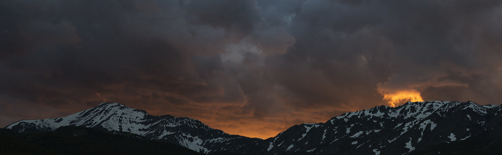
Stormy Mountain Sunset
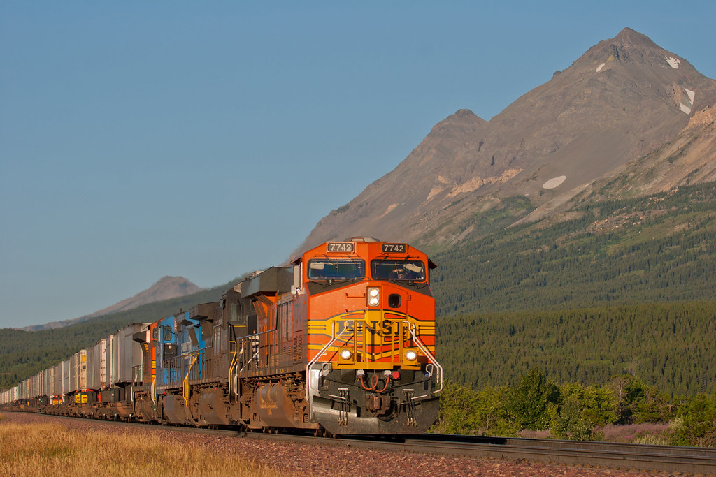
Sunset around the Marias Pass. #montana #mountains #sunset #gorgeous #amtrak #emiprebuilder #travel #train #nerd
Stormy Sunset
IMG_0014 copy

Sunrise and Fireweed
Morning Z on Marias
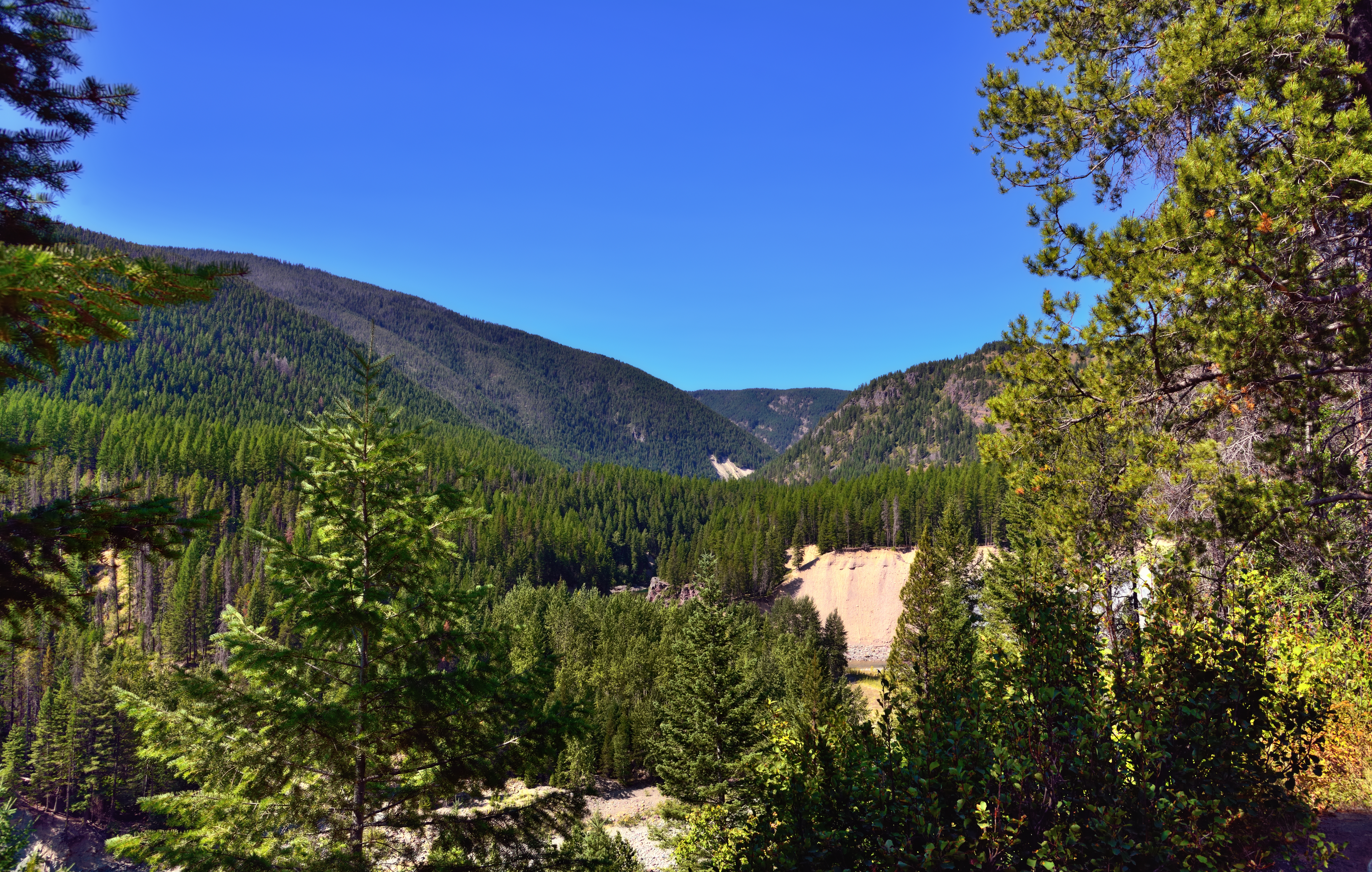
A View through Nearby Trees at Goat Lick
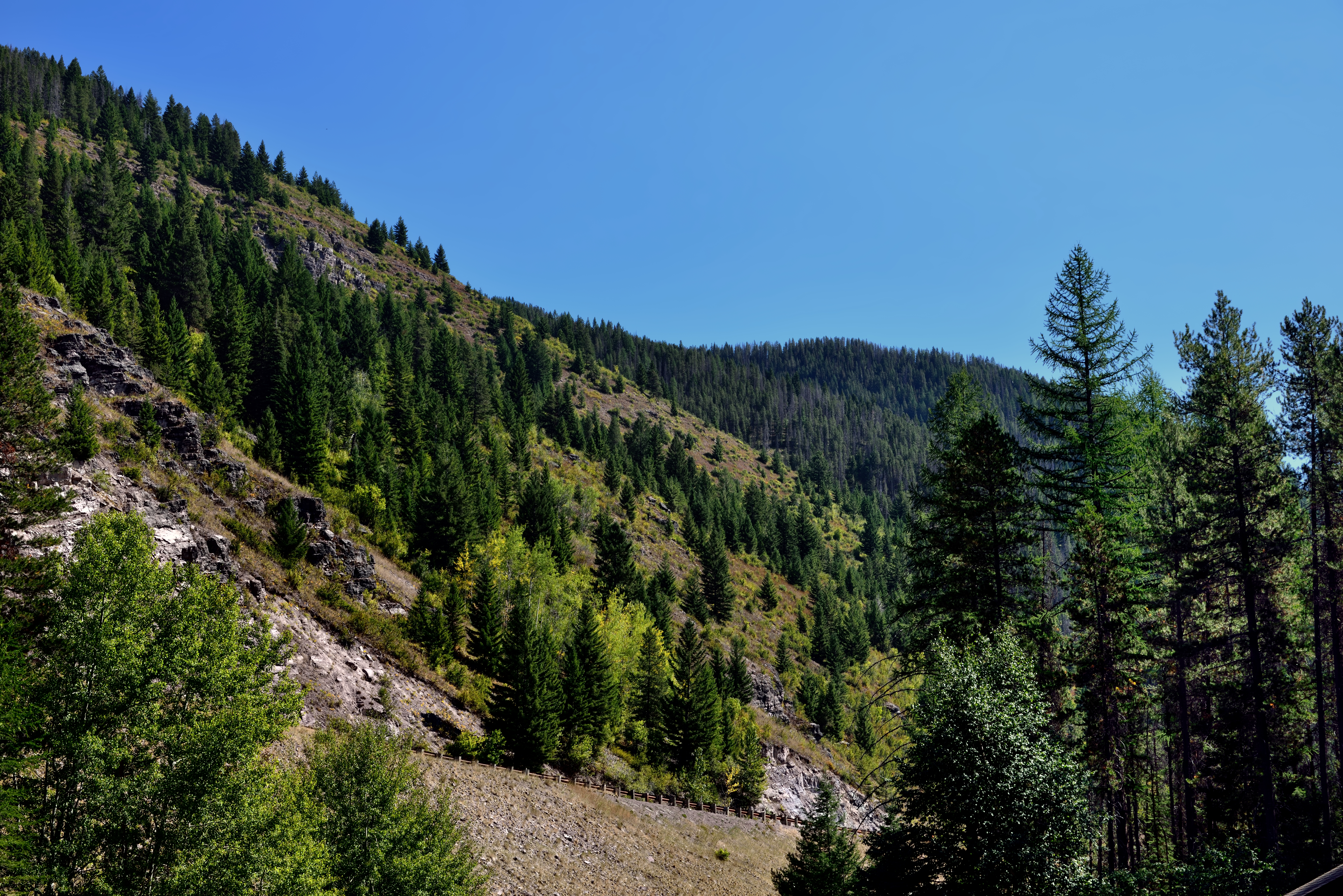
A Hillside of Trees
Hiking in Montana

A Mountain Drive through the Flathead National Forest.
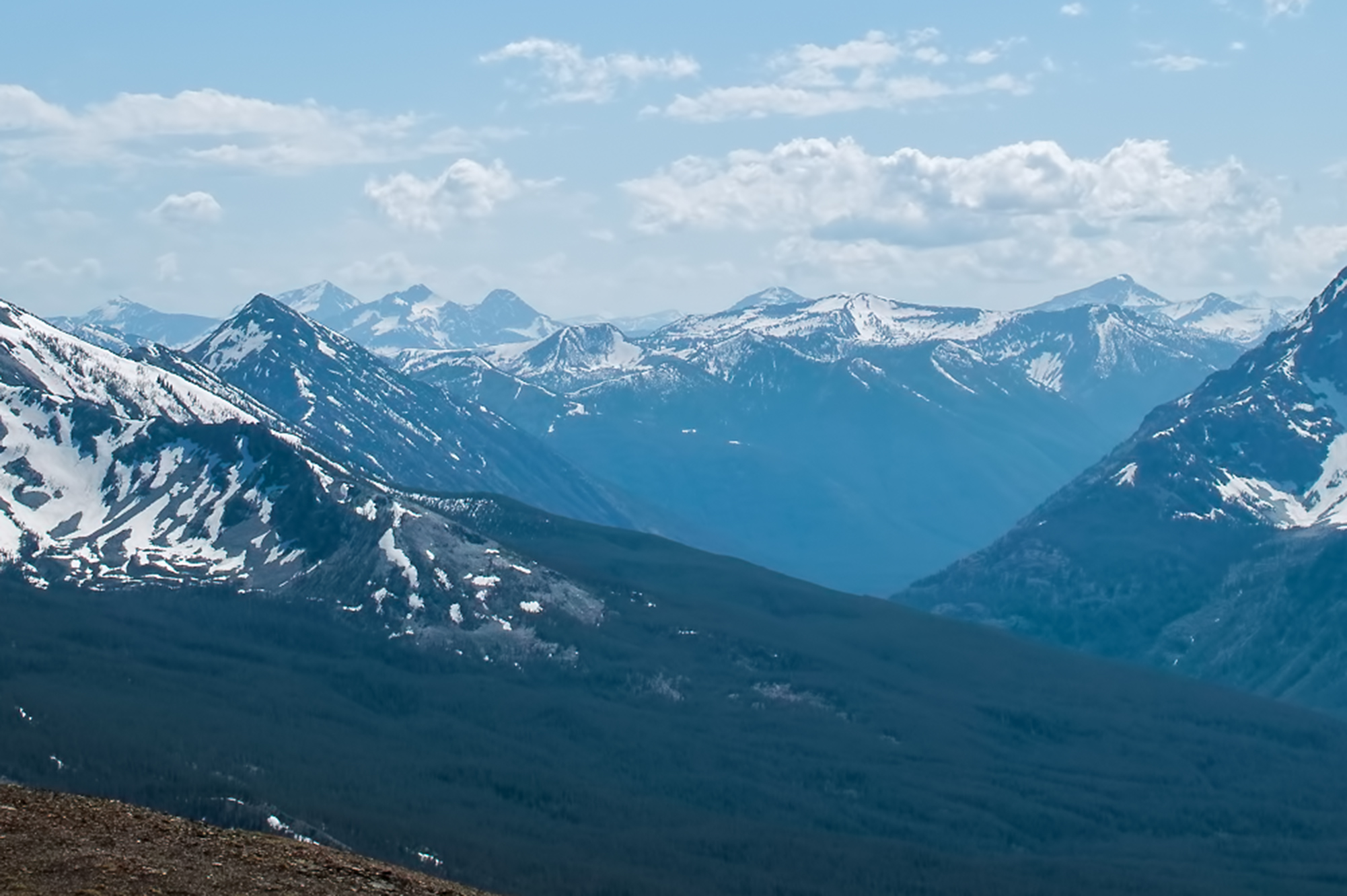
SDIM7953 view southwest from Red Crow summit
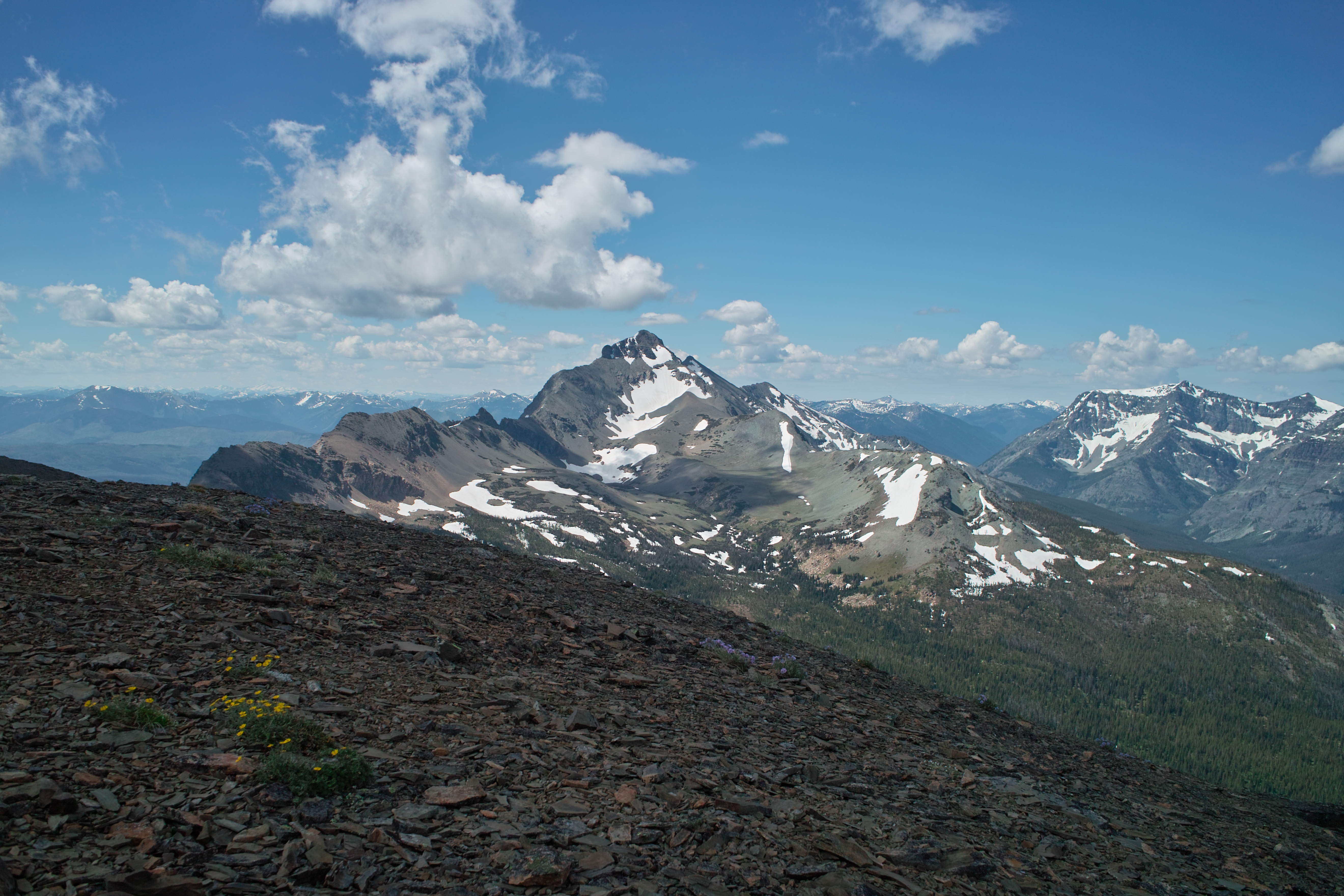
SDIM0260 Summit Mountain, Glacier National Park

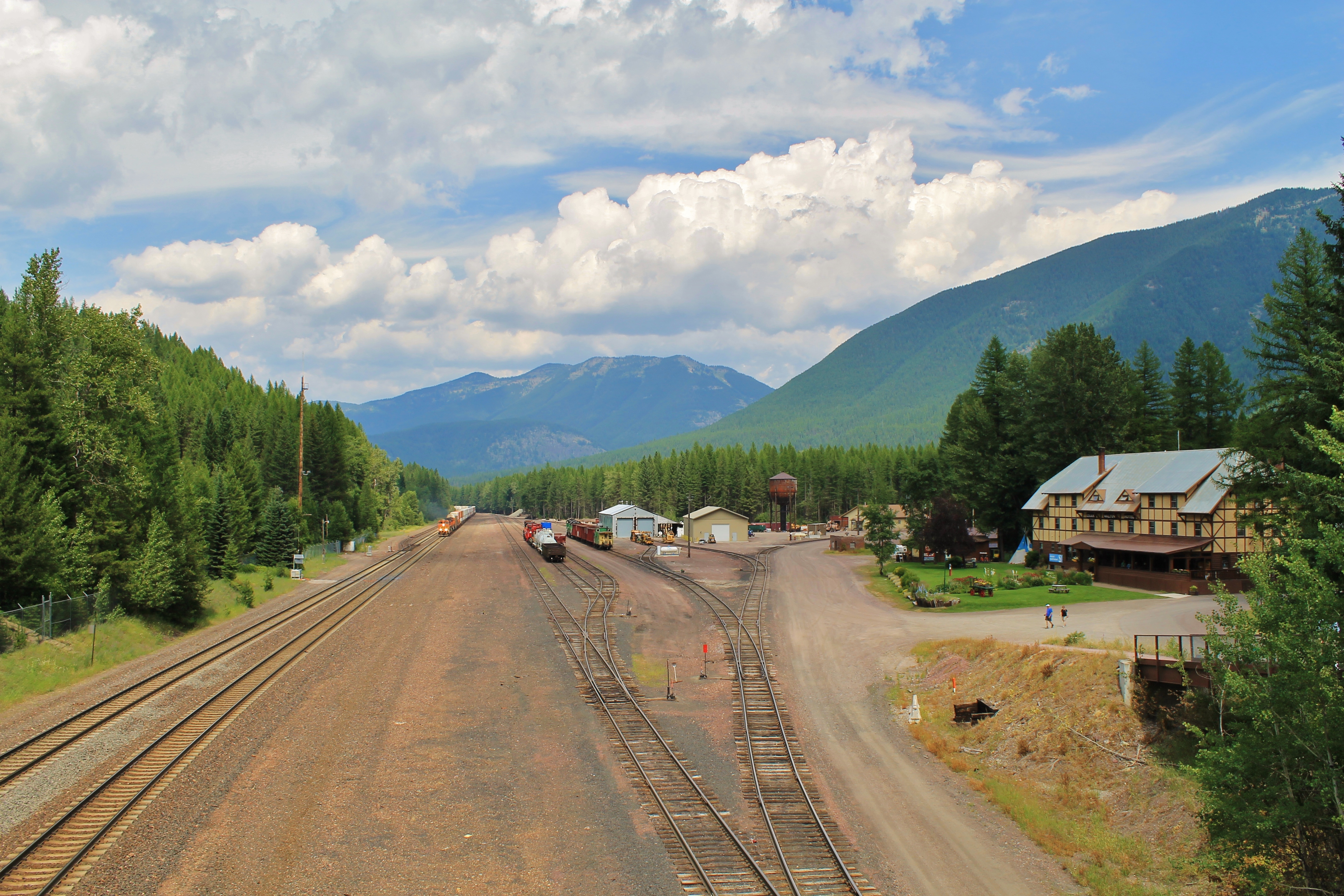
Glacier NP from Rear of Train 3
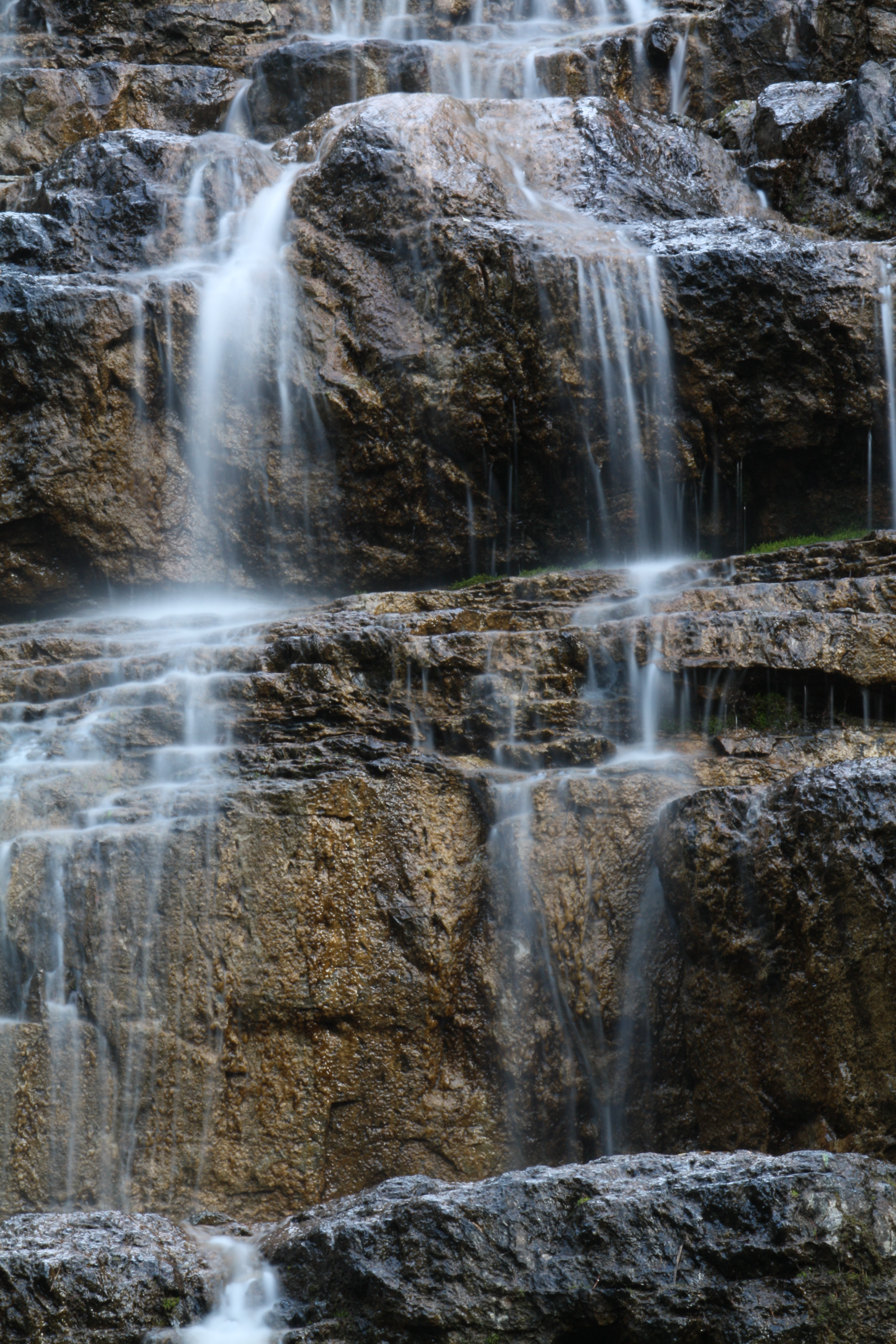
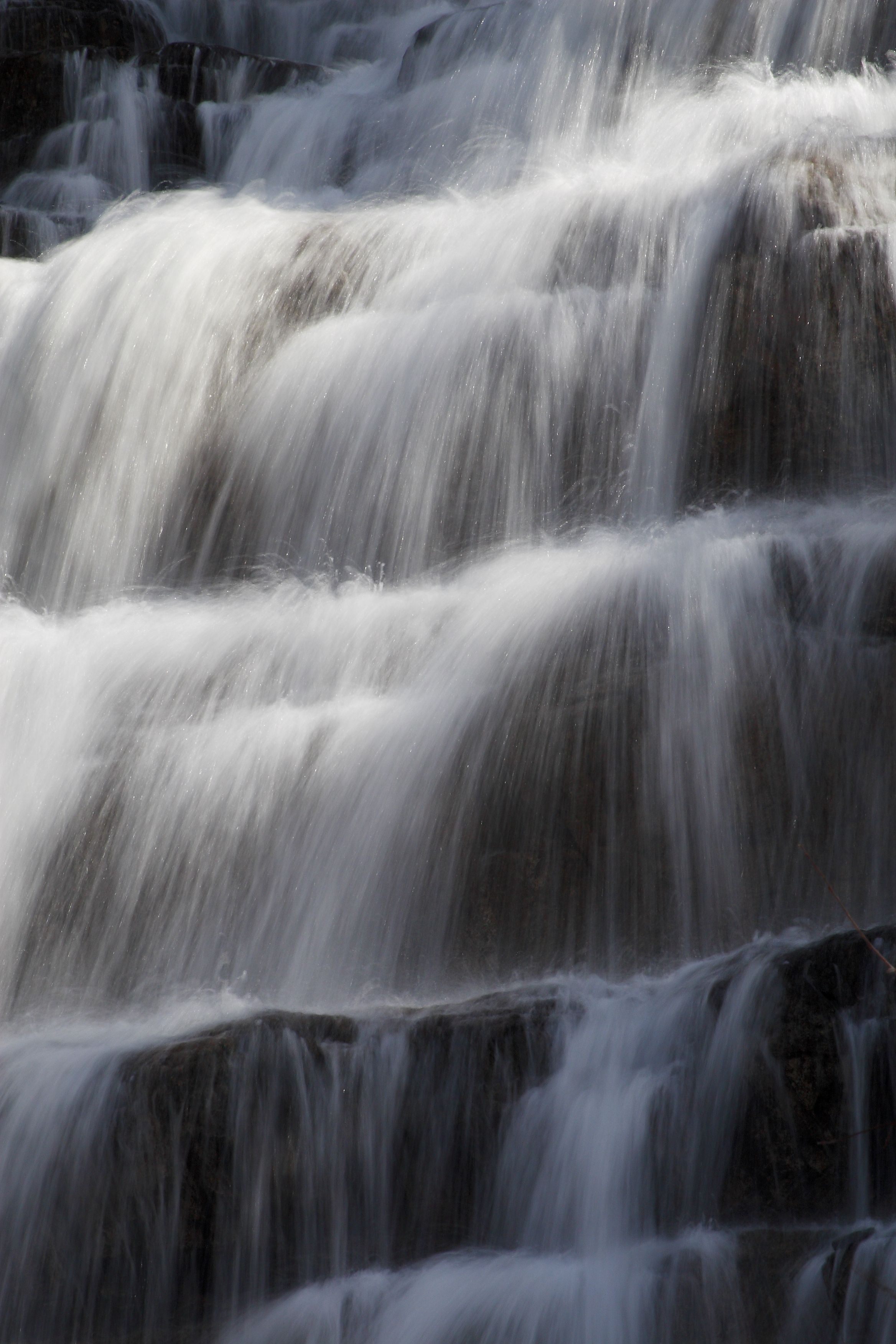
Water Cascade Long Exposure
View from above.

Beaver Pond
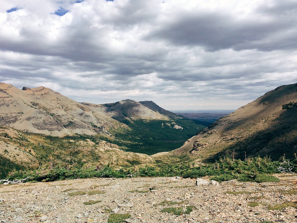
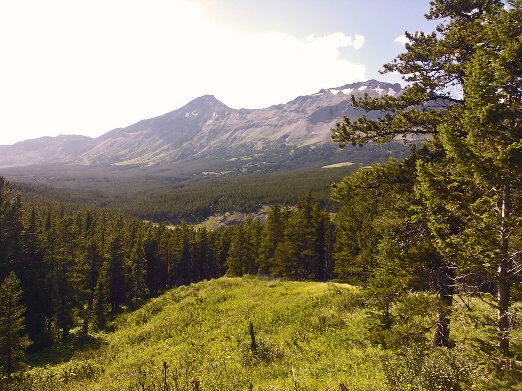
The view east from Firebrand Pass in Glacier National Park
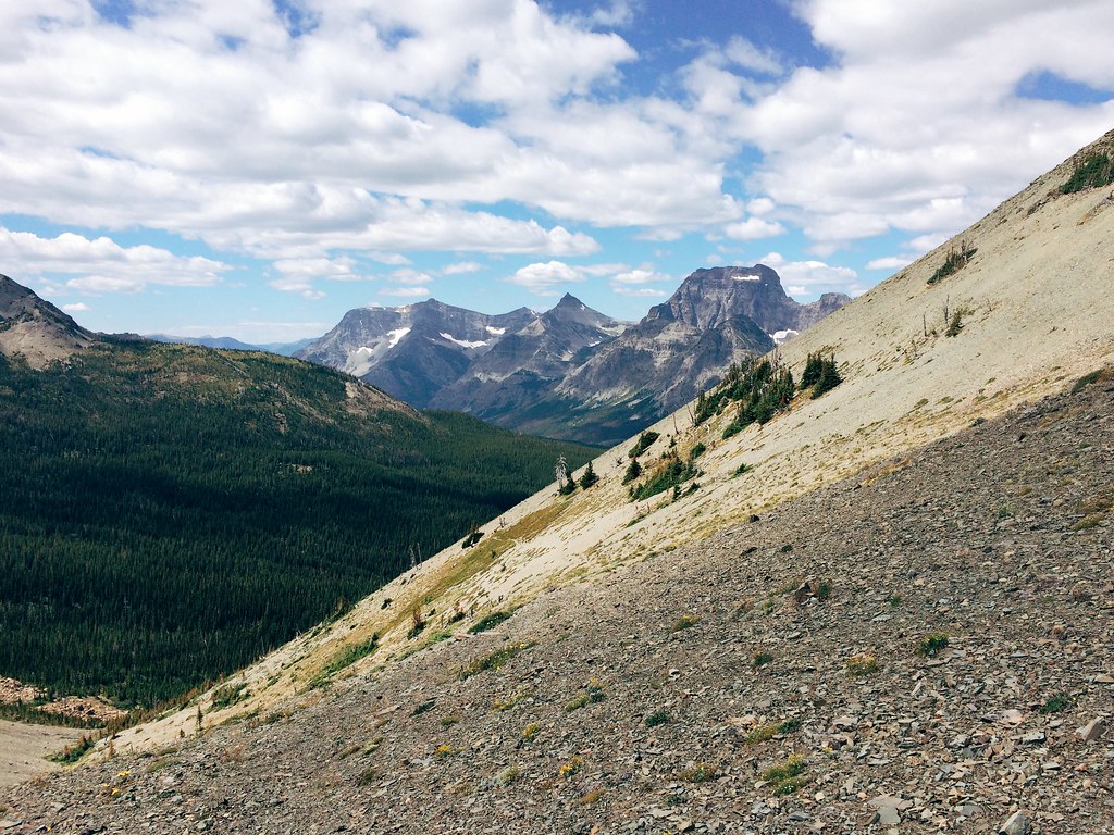
The view west from Firebrand Pass in Glacier National Park
Blacktail, MT, USA Map
Search another place
Near Places
Slippery Bill Rd, Essex, MT, USA
Slippery Bill Rd, Essex, MT, USA
Devils Hump, Montana, USA
Snowslip Mountain, Montana, USA
Mount Furlong, Mt Furlong, Montana, USA
Forster Mountain, Montana, USA
Running Rabbit Mountain, Montana, USA
US-2, Essex, MT, USA
many glacier hotel, Continental Divide Trail, East Glacier Park, MT, USA
Vinegar Mountain, Montana, USA
Patrol Ridge, Montana, USA
Summit Trailhead, East Glacier Park Village, MT, USA
Elkcalf Mountain, Montana, USA
Square Mountain, Montana, USA
Slippery Bill Mountain North, Montana, USA
Slippery Bill Mountain South, Montana, USA
Running Crane Mountain, Montana, USA
Bullshoe Mountain, Montana, USA
Two Medicine Ridge East, Montana, USA
Crescent Cliff, Montana, USA
Recent Searches
- Sunrise Sunset Times of Deep Gap Farm Rd E, Mill Spring, NC, USA
- Sunrise Sunset Times of Jiujiangzhen, Nanhai District, Foshan, Guangdong Province, China
- Sunrise Sunset Times of Mountain View, CA, USA
- Sunrise Sunset Times of Road to the sky observatory, Shuenhigashi, Shari, Shari District, Hokkaido -, Japan
- Sunrise Sunset Times of 海岸咖啡, No. 31號, Chaishan Ave, Gushan District, Kaohsiung City, Taiwan
- Sunrise Sunset Times of Estates Loop, Priest River, ID, USA
- Sunrise Sunset Times of Woodland Oak Pl, Thousand Oaks, CA, USA
- Sunrise Sunset Times of Sarangdanda, Nepal
- Sunrise Sunset Times of Nakanoshima, Shiogama, Miyagi -, Japan
- Sunrise Sunset Times of Center of Research in Astronomy, Astrophysics, and Geophysics, bp - 63 Rte de l'Observatoire, Bouzar