Sunrise Sunset Times of Aumond, QC, Canada
Location: Canada > Québec > La Vallée-de-la-Gatineau Regional County Municipality >
Timezone:
America/Toronto
Current Time:
2024-05-07 18:18:44
Longitude:
-75.8475708
Latitude:
46.5093502
Sunrise Today:
05:37:11 AM
Sunset Today:
08:22:30 PM
Daylength Today:
14h 45m 19s
Sunrise Tomorrow:
05:35:50 AM
Sunset Tomorrow:
08:23:46 PM
Daylength Tomorrow:
14h 47m 56s
Year Show All Dates
| Date | Sunrise | Sunset | Daylength |
|---|---|---|---|
| 01/01/2024 | 07:47:08 AM | 04:27:09 PM | 8h 40m 1s |
| 01/02/2024 | 07:47:06 AM | 04:28:07 PM | 8h 41m 1s |
| 01/03/2024 | 07:47:02 AM | 04:29:07 PM | 8h 42m 5s |
| 01/04/2024 | 07:46:54 AM | 04:30:08 PM | 8h 43m 14s |
| 01/05/2024 | 07:46:44 AM | 04:31:12 PM | 8h 44m 28s |
| 01/06/2024 | 07:46:31 AM | 04:32:18 PM | 8h 45m 47s |
| 01/07/2024 | 07:46:16 AM | 04:33:25 PM | 8h 47m 9s |
| 01/08/2024 | 07:45:57 AM | 04:34:34 PM | 8h 48m 37s |
| 01/09/2024 | 07:45:36 AM | 04:35:44 PM | 8h 50m 8s |
| 01/10/2024 | 07:45:12 AM | 04:36:56 PM | 8h 51m 44s |
| 01/11/2024 | 07:44:46 AM | 04:38:10 PM | 8h 53m 24s |
| 01/12/2024 | 07:44:17 AM | 04:39:25 PM | 8h 55m 8s |
| 01/13/2024 | 07:43:45 AM | 04:40:41 PM | 8h 56m 56s |
| 01/14/2024 | 07:43:11 AM | 04:41:59 PM | 8h 58m 48s |
| 01/15/2024 | 07:42:34 AM | 04:43:18 PM | 9h 0m 44s |
| 01/16/2024 | 07:41:55 AM | 04:44:38 PM | 9h 2m 43s |
| 01/17/2024 | 07:41:13 AM | 04:45:59 PM | 9h 4m 46s |
| 01/18/2024 | 07:40:29 AM | 04:47:21 PM | 9h 6m 52s |
| 01/19/2024 | 07:39:42 AM | 04:48:44 PM | 9h 9m 2s |
| 01/20/2024 | 07:38:53 AM | 04:50:08 PM | 9h 11m 15s |
| 01/21/2024 | 07:38:02 AM | 04:51:33 PM | 9h 13m 31s |
| 01/22/2024 | 07:37:08 AM | 04:52:59 PM | 9h 15m 51s |
| 01/23/2024 | 07:36:12 AM | 04:54:25 PM | 9h 18m 13s |
| 01/24/2024 | 07:35:14 AM | 04:55:52 PM | 9h 20m 38s |
| 01/25/2024 | 07:34:14 AM | 04:57:20 PM | 9h 23m 6s |
| 01/26/2024 | 07:33:12 AM | 04:58:48 PM | 9h 25m 36s |
| 01/27/2024 | 07:32:07 AM | 05:00:16 PM | 9h 28m 9s |
| 01/28/2024 | 07:31:00 AM | 05:01:45 PM | 9h 30m 45s |
| 01/29/2024 | 07:29:52 AM | 05:03:15 PM | 9h 33m 23s |
| 01/30/2024 | 07:28:41 AM | 05:04:44 PM | 9h 36m 3s |
| 01/31/2024 | 07:27:29 AM | 05:06:14 PM | 9h 38m 45s |
| 02/01/2024 | 07:26:14 AM | 05:07:45 PM | 9h 41m 31s |
| 02/02/2024 | 07:24:58 AM | 05:09:15 PM | 9h 44m 17s |
| 02/03/2024 | 07:23:40 AM | 05:10:46 PM | 9h 47m 6s |
| 02/04/2024 | 07:22:20 AM | 05:12:17 PM | 9h 49m 57s |
| 02/05/2024 | 07:20:59 AM | 05:13:47 PM | 9h 52m 48s |
| 02/06/2024 | 07:19:36 AM | 05:15:18 PM | 9h 55m 42s |
| 02/07/2024 | 07:18:11 AM | 05:16:49 PM | 9h 58m 38s |
| 02/08/2024 | 07:16:45 AM | 05:18:20 PM | 10h 1m 35s |
| 02/09/2024 | 07:15:17 AM | 05:19:51 PM | 10h 4m 34s |
| 02/10/2024 | 07:13:48 AM | 05:21:22 PM | 10h 7m 34s |
| 02/11/2024 | 07:12:17 AM | 05:22:53 PM | 10h 10m 36s |
| 02/12/2024 | 07:10:45 AM | 05:24:23 PM | 10h 13m 38s |
| 02/13/2024 | 07:09:11 AM | 05:25:54 PM | 10h 16m 43s |
| 02/14/2024 | 07:07:36 AM | 05:27:24 PM | 10h 19m 48s |
| 02/15/2024 | 07:06:00 AM | 05:28:54 PM | 10h 22m 54s |
| 02/16/2024 | 07:04:23 AM | 05:30:24 PM | 10h 26m 1s |
| 02/17/2024 | 07:02:44 AM | 05:31:54 PM | 10h 29m 10s |
| 02/18/2024 | 07:01:04 AM | 05:33:23 PM | 10h 32m 19s |
| 02/19/2024 | 06:59:24 AM | 05:34:53 PM | 10h 35m 29s |
| 02/20/2024 | 06:57:42 AM | 05:36:22 PM | 10h 38m 40s |
| 02/21/2024 | 06:55:59 AM | 05:37:51 PM | 10h 41m 52s |
| 02/22/2024 | 06:54:15 AM | 05:39:19 PM | 10h 45m 4s |
| 02/23/2024 | 06:52:30 AM | 05:40:47 PM | 10h 48m 17s |
| 02/24/2024 | 06:50:44 AM | 05:42:16 PM | 10h 51m 32s |
| 02/25/2024 | 06:48:57 AM | 05:43:43 PM | 10h 54m 46s |
| 02/26/2024 | 06:47:10 AM | 05:45:11 PM | 10h 58m 1s |
| 02/27/2024 | 06:45:21 AM | 05:46:38 PM | 11h 1m 17s |
| 02/28/2024 | 06:43:32 AM | 05:48:05 PM | 11h 4m 33s |
| 02/29/2024 | 06:41:42 AM | 05:49:31 PM | 11h 7m 49s |
| 03/01/2024 | 06:39:51 AM | 05:50:58 PM | 11h 11m 7s |
| 03/02/2024 | 06:38:00 AM | 05:52:24 PM | 11h 14m 24s |
| 03/03/2024 | 06:36:08 AM | 05:53:50 PM | 11h 17m 42s |
| 03/04/2024 | 06:34:15 AM | 05:55:15 PM | 11h 21m 0s |
| 03/05/2024 | 06:32:22 AM | 05:56:40 PM | 11h 24m 18s |
| 03/06/2024 | 06:30:29 AM | 05:58:05 PM | 11h 27m 36s |
| 03/07/2024 | 06:28:34 AM | 05:59:30 PM | 11h 30m 56s |
| 03/08/2024 | 06:26:40 AM | 06:00:55 PM | 11h 34m 15s |
| 03/09/2024 | 06:24:45 AM | 06:02:19 PM | 11h 37m 34s |
| 03/10/2024 | 07:22:54 AM | 07:03:39 PM | 11h 40m 45s |
| 03/11/2024 | 07:20:58 AM | 07:05:03 PM | 11h 44m 5s |
| 03/12/2024 | 07:19:02 AM | 07:06:27 PM | 11h 47m 25s |
| 03/13/2024 | 07:17:05 AM | 07:07:50 PM | 11h 50m 45s |
| 03/14/2024 | 07:15:09 AM | 07:09:13 PM | 11h 54m 4s |
| 03/15/2024 | 07:13:12 AM | 07:10:36 PM | 11h 57m 24s |
| 03/16/2024 | 07:11:14 AM | 07:11:59 PM | 12h 0m 45s |
| 03/17/2024 | 07:09:17 AM | 07:13:22 PM | 12h 4m 5s |
| 03/18/2024 | 07:07:19 AM | 07:14:44 PM | 12h 7m 25s |
| 03/19/2024 | 07:05:22 AM | 07:16:06 PM | 12h 10m 44s |
| 03/20/2024 | 07:03:24 AM | 07:17:28 PM | 12h 14m 4s |
| 03/21/2024 | 07:01:26 AM | 07:18:50 PM | 12h 17m 24s |
| 03/22/2024 | 06:59:28 AM | 07:20:12 PM | 12h 20m 44s |
| 03/23/2024 | 06:57:30 AM | 07:21:34 PM | 12h 24m 4s |
| 03/24/2024 | 06:55:32 AM | 07:22:56 PM | 12h 27m 24s |
| 03/25/2024 | 06:53:35 AM | 07:24:17 PM | 12h 30m 42s |
| 03/26/2024 | 06:51:37 AM | 07:25:39 PM | 12h 34m 2s |
| 03/27/2024 | 06:49:39 AM | 07:27:00 PM | 12h 37m 21s |
| 03/28/2024 | 06:47:42 AM | 07:28:21 PM | 12h 40m 39s |
| 03/29/2024 | 06:45:45 AM | 07:29:43 PM | 12h 43m 58s |
| 03/30/2024 | 06:43:48 AM | 07:31:04 PM | 12h 47m 16s |
| 03/31/2024 | 06:41:51 AM | 07:32:25 PM | 12h 50m 34s |
| 04/01/2024 | 06:39:55 AM | 07:33:46 PM | 12h 53m 51s |
| 04/02/2024 | 06:37:59 AM | 07:35:07 PM | 12h 57m 8s |
| 04/03/2024 | 06:36:03 AM | 07:36:28 PM | 13h 0m 25s |
| 04/04/2024 | 06:34:07 AM | 07:37:49 PM | 13h 3m 42s |
| 04/05/2024 | 06:32:12 AM | 07:39:10 PM | 13h 6m 58s |
| 04/06/2024 | 06:30:18 AM | 07:40:31 PM | 13h 10m 13s |
| 04/07/2024 | 06:28:24 AM | 07:41:52 PM | 13h 13m 28s |
| 04/08/2024 | 06:26:30 AM | 07:43:13 PM | 13h 16m 43s |
| 04/09/2024 | 06:24:37 AM | 07:44:34 PM | 13h 19m 57s |
| 04/10/2024 | 06:22:45 AM | 07:45:55 PM | 13h 23m 10s |
| 04/11/2024 | 06:20:53 AM | 07:47:15 PM | 13h 26m 22s |
| 04/12/2024 | 06:19:02 AM | 07:48:36 PM | 13h 29m 34s |
| 04/13/2024 | 06:17:11 AM | 07:49:57 PM | 13h 32m 46s |
| 04/14/2024 | 06:15:21 AM | 07:51:18 PM | 13h 35m 57s |
| 04/15/2024 | 06:13:32 AM | 07:52:39 PM | 13h 39m 7s |
| 04/16/2024 | 06:11:44 AM | 07:54:00 PM | 13h 42m 16s |
| 04/17/2024 | 06:09:57 AM | 07:55:21 PM | 13h 45m 24s |
| 04/18/2024 | 06:08:10 AM | 07:56:41 PM | 13h 48m 31s |
| 04/19/2024 | 06:06:24 AM | 07:58:02 PM | 13h 51m 38s |
| 04/20/2024 | 06:04:39 AM | 07:59:23 PM | 13h 54m 44s |
| 04/21/2024 | 06:02:55 AM | 08:00:43 PM | 13h 57m 48s |
| 04/22/2024 | 06:01:13 AM | 08:02:04 PM | 14h 0m 51s |
| 04/23/2024 | 05:59:31 AM | 08:03:24 PM | 14h 3m 53s |
| 04/24/2024 | 05:57:50 AM | 08:04:45 PM | 14h 6m 55s |
| 04/25/2024 | 05:56:10 AM | 08:06:05 PM | 14h 9m 55s |
| 04/26/2024 | 05:54:32 AM | 08:07:25 PM | 14h 12m 53s |
| 04/27/2024 | 05:52:54 AM | 08:08:45 PM | 14h 15m 51s |
| 04/28/2024 | 05:51:18 AM | 08:10:05 PM | 14h 18m 47s |
| 04/29/2024 | 05:49:43 AM | 08:11:25 PM | 14h 21m 42s |
| 04/30/2024 | 05:48:09 AM | 08:12:44 PM | 14h 24m 35s |
| 05/01/2024 | 05:46:37 AM | 08:14:03 PM | 14h 27m 26s |
| 05/02/2024 | 05:45:06 AM | 08:15:22 PM | 14h 30m 16s |
| 05/03/2024 | 05:43:36 AM | 08:16:41 PM | 14h 33m 5s |
| 05/04/2024 | 05:42:08 AM | 08:17:59 PM | 14h 35m 51s |
| 05/05/2024 | 05:40:41 AM | 08:19:17 PM | 14h 38m 36s |
| 05/06/2024 | 05:39:16 AM | 08:20:34 PM | 14h 41m 18s |
| 05/07/2024 | 05:37:52 AM | 08:21:51 PM | 14h 43m 59s |
| 05/08/2024 | 05:36:30 AM | 08:23:08 PM | 14h 46m 38s |
| 05/09/2024 | 05:35:10 AM | 08:24:24 PM | 14h 49m 14s |
| 05/10/2024 | 05:33:51 AM | 08:25:40 PM | 14h 51m 49s |
| 05/11/2024 | 05:32:34 AM | 08:26:55 PM | 14h 54m 21s |
| 05/12/2024 | 05:31:19 AM | 08:28:10 PM | 14h 56m 51s |
| 05/13/2024 | 05:30:05 AM | 08:29:23 PM | 14h 59m 18s |
| 05/14/2024 | 05:28:54 AM | 08:30:37 PM | 15h 1m 43s |
| 05/15/2024 | 05:27:44 AM | 08:31:49 PM | 15h 4m 5s |
| 05/16/2024 | 05:26:36 AM | 08:33:01 PM | 15h 6m 25s |
| 05/17/2024 | 05:25:30 AM | 08:34:12 PM | 15h 8m 42s |
| 05/18/2024 | 05:24:26 AM | 08:35:21 PM | 15h 10m 55s |
| 05/19/2024 | 05:23:24 AM | 08:36:31 PM | 15h 13m 7s |
| 05/20/2024 | 05:22:24 AM | 08:37:39 PM | 15h 15m 15s |
| 05/21/2024 | 05:21:26 AM | 08:38:46 PM | 15h 17m 20s |
| 05/22/2024 | 05:20:30 AM | 08:39:52 PM | 15h 19m 22s |
| 05/23/2024 | 05:19:36 AM | 08:40:57 PM | 15h 21m 21s |
| 05/24/2024 | 05:18:45 AM | 08:42:00 PM | 15h 23m 15s |
| 05/25/2024 | 05:17:56 AM | 08:43:03 PM | 15h 25m 7s |
| 05/26/2024 | 05:17:08 AM | 08:44:04 PM | 15h 26m 56s |
| 05/27/2024 | 05:16:24 AM | 08:45:04 PM | 15h 28m 40s |
| 05/28/2024 | 05:15:41 AM | 08:46:02 PM | 15h 30m 21s |
| 05/29/2024 | 05:15:01 AM | 08:46:59 PM | 15h 31m 58s |
| 05/30/2024 | 05:14:23 AM | 08:47:55 PM | 15h 33m 32s |
| 05/31/2024 | 05:13:47 AM | 08:48:49 PM | 15h 35m 2s |
| 06/01/2024 | 05:13:14 AM | 08:49:41 PM | 15h 36m 27s |
| 06/02/2024 | 05:12:43 AM | 08:50:32 PM | 15h 37m 49s |
| 06/03/2024 | 05:12:15 AM | 08:51:21 PM | 15h 39m 6s |
| 06/04/2024 | 05:11:49 AM | 08:52:08 PM | 15h 40m 19s |
| 06/05/2024 | 05:11:26 AM | 08:52:53 PM | 15h 41m 27s |
| 06/06/2024 | 05:11:05 AM | 08:53:37 PM | 15h 42m 32s |
| 06/07/2024 | 05:10:46 AM | 08:54:19 PM | 15h 43m 33s |
| 06/08/2024 | 05:10:30 AM | 08:54:58 PM | 15h 44m 28s |
| 06/09/2024 | 05:10:16 AM | 08:55:36 PM | 15h 45m 20s |
| 06/10/2024 | 05:10:05 AM | 08:56:12 PM | 15h 46m 7s |
| 06/11/2024 | 05:09:56 AM | 08:56:45 PM | 15h 46m 49s |
| 06/12/2024 | 05:09:50 AM | 08:57:17 PM | 15h 47m 27s |
| 06/13/2024 | 05:09:46 AM | 08:57:46 PM | 15h 48m 0s |
| 06/14/2024 | 05:09:45 AM | 08:58:13 PM | 15h 48m 28s |
| 06/15/2024 | 05:09:46 AM | 08:58:37 PM | 15h 48m 51s |
| 06/16/2024 | 05:09:50 AM | 08:59:00 PM | 15h 49m 10s |
| 06/17/2024 | 05:09:56 AM | 08:59:20 PM | 15h 49m 24s |
| 06/18/2024 | 05:10:04 AM | 08:59:38 PM | 15h 49m 34s |
| 06/19/2024 | 05:10:15 AM | 08:59:53 PM | 15h 49m 38s |
| 06/20/2024 | 05:10:28 AM | 09:00:06 PM | 15h 49m 38s |
| 06/21/2024 | 05:10:43 AM | 09:00:17 PM | 15h 49m 34s |
| 06/22/2024 | 05:11:01 AM | 09:00:25 PM | 15h 49m 24s |
| 06/23/2024 | 05:11:21 AM | 09:00:31 PM | 15h 49m 10s |
| 06/24/2024 | 05:11:43 AM | 09:00:34 PM | 15h 48m 51s |
| 06/25/2024 | 05:12:08 AM | 09:00:35 PM | 15h 48m 27s |
| 06/26/2024 | 05:12:34 AM | 09:00:33 PM | 15h 47m 59s |
| 06/27/2024 | 05:13:03 AM | 09:00:29 PM | 15h 47m 26s |
| 06/28/2024 | 05:13:34 AM | 09:00:22 PM | 15h 46m 48s |
| 06/29/2024 | 05:14:07 AM | 09:00:13 PM | 15h 46m 6s |
| 06/30/2024 | 05:14:42 AM | 09:00:01 PM | 15h 45m 19s |
| 07/01/2024 | 05:15:19 AM | 08:59:46 PM | 15h 44m 27s |
| 07/02/2024 | 05:15:58 AM | 08:59:29 PM | 15h 43m 31s |
| 07/03/2024 | 05:16:39 AM | 08:59:10 PM | 15h 42m 31s |
| 07/04/2024 | 05:17:21 AM | 08:58:48 PM | 15h 41m 27s |
| 07/05/2024 | 05:18:06 AM | 08:58:24 PM | 15h 40m 18s |
| 07/06/2024 | 05:18:52 AM | 08:57:57 PM | 15h 39m 5s |
| 07/07/2024 | 05:19:39 AM | 08:57:28 PM | 15h 37m 49s |
| 07/08/2024 | 05:20:29 AM | 08:56:56 PM | 15h 36m 27s |
| 07/09/2024 | 05:21:20 AM | 08:56:22 PM | 15h 35m 2s |
| 07/10/2024 | 05:22:12 AM | 08:55:45 PM | 15h 33m 33s |
| 07/11/2024 | 05:23:06 AM | 08:55:07 PM | 15h 32m 1s |
| 07/12/2024 | 05:24:01 AM | 08:54:25 PM | 15h 30m 24s |
| 07/13/2024 | 05:24:58 AM | 08:53:42 PM | 15h 28m 44s |
| 07/14/2024 | 05:25:56 AM | 08:52:56 PM | 15h 27m 0s |
| 07/15/2024 | 05:26:55 AM | 08:52:08 PM | 15h 25m 13s |
| 07/16/2024 | 05:27:56 AM | 08:51:17 PM | 15h 23m 21s |
| 07/17/2024 | 05:28:57 AM | 08:50:24 PM | 15h 21m 27s |
| 07/18/2024 | 05:30:00 AM | 08:49:30 PM | 15h 19m 30s |
| 07/19/2024 | 05:31:04 AM | 08:48:33 PM | 15h 17m 29s |
| 07/20/2024 | 05:32:09 AM | 08:47:34 PM | 15h 15m 25s |
| 07/21/2024 | 05:33:14 AM | 08:46:32 PM | 15h 13m 18s |
| 07/22/2024 | 05:34:21 AM | 08:45:29 PM | 15h 11m 8s |
| 07/23/2024 | 05:35:28 AM | 08:44:24 PM | 15h 8m 56s |
| 07/24/2024 | 05:36:36 AM | 08:43:17 PM | 15h 6m 41s |
| 07/25/2024 | 05:37:45 AM | 08:42:07 PM | 15h 4m 22s |
| 07/26/2024 | 05:38:55 AM | 08:40:56 PM | 15h 2m 1s |
| 07/27/2024 | 05:40:05 AM | 08:39:43 PM | 14h 59m 38s |
| 07/28/2024 | 05:41:16 AM | 08:38:29 PM | 14h 57m 13s |
| 07/29/2024 | 05:42:28 AM | 08:37:12 PM | 14h 54m 44s |
| 07/30/2024 | 05:43:40 AM | 08:35:54 PM | 14h 52m 14s |
| 07/31/2024 | 05:44:52 AM | 08:34:34 PM | 14h 49m 42s |
| 08/01/2024 | 05:46:05 AM | 08:33:12 PM | 14h 47m 7s |
| 08/02/2024 | 05:47:19 AM | 08:31:49 PM | 14h 44m 30s |
| 08/03/2024 | 05:48:32 AM | 08:30:24 PM | 14h 41m 52s |
| 08/04/2024 | 05:49:46 AM | 08:28:57 PM | 14h 39m 11s |
| 08/05/2024 | 05:51:01 AM | 08:27:29 PM | 14h 36m 28s |
| 08/06/2024 | 05:52:16 AM | 08:26:00 PM | 14h 33m 44s |
| 08/07/2024 | 05:53:31 AM | 08:24:29 PM | 14h 30m 58s |
| 08/08/2024 | 05:54:46 AM | 08:22:57 PM | 14h 28m 11s |
| 08/09/2024 | 05:56:01 AM | 08:21:23 PM | 14h 25m 22s |
| 08/10/2024 | 05:57:17 AM | 08:19:48 PM | 14h 22m 31s |
| 08/11/2024 | 05:58:33 AM | 08:18:12 PM | 14h 19m 39s |
| 08/12/2024 | 05:59:49 AM | 08:16:34 PM | 14h 16m 45s |
| 08/13/2024 | 06:01:05 AM | 08:14:56 PM | 14h 13m 51s |
| 08/14/2024 | 06:02:21 AM | 08:13:16 PM | 14h 10m 55s |
| 08/15/2024 | 06:03:37 AM | 08:11:35 PM | 14h 7m 58s |
| 08/16/2024 | 06:04:54 AM | 08:09:52 PM | 14h 4m 58s |
| 08/17/2024 | 06:06:10 AM | 08:08:09 PM | 14h 1m 59s |
| 08/18/2024 | 06:07:27 AM | 08:06:25 PM | 13h 58m 58s |
| 08/19/2024 | 06:08:43 AM | 08:04:40 PM | 13h 55m 57s |
| 08/20/2024 | 06:09:59 AM | 08:02:53 PM | 13h 52m 54s |
| 08/21/2024 | 06:11:16 AM | 08:01:06 PM | 13h 49m 50s |
| 08/22/2024 | 06:12:32 AM | 07:59:18 PM | 13h 46m 46s |
| 08/23/2024 | 06:13:49 AM | 07:57:29 PM | 13h 43m 40s |
| 08/24/2024 | 06:15:05 AM | 07:55:40 PM | 13h 40m 35s |
| 08/25/2024 | 06:16:22 AM | 07:53:49 PM | 13h 37m 27s |
| 08/26/2024 | 06:17:38 AM | 07:51:58 PM | 13h 34m 20s |
| 08/27/2024 | 06:18:55 AM | 07:50:06 PM | 13h 31m 11s |
| 08/28/2024 | 06:20:11 AM | 07:48:14 PM | 13h 28m 3s |
| 08/29/2024 | 06:21:28 AM | 07:46:20 PM | 13h 24m 52s |
| 08/30/2024 | 06:22:44 AM | 07:44:26 PM | 13h 21m 42s |
| 08/31/2024 | 06:24:00 AM | 07:42:32 PM | 13h 18m 32s |
| 09/01/2024 | 06:25:17 AM | 07:40:37 PM | 13h 15m 20s |
| 09/02/2024 | 06:26:33 AM | 07:38:41 PM | 13h 12m 8s |
| 09/03/2024 | 06:27:49 AM | 07:36:45 PM | 13h 8m 56s |
| 09/04/2024 | 06:29:06 AM | 07:34:49 PM | 13h 5m 43s |
| 09/05/2024 | 06:30:22 AM | 07:32:52 PM | 13h 2m 30s |
| 09/06/2024 | 06:31:38 AM | 07:30:55 PM | 12h 59m 17s |
| 09/07/2024 | 06:32:54 AM | 07:28:57 PM | 12h 56m 3s |
| 09/08/2024 | 06:34:11 AM | 07:26:59 PM | 12h 52m 48s |
| 09/09/2024 | 06:35:27 AM | 07:25:00 PM | 12h 49m 33s |
| 09/10/2024 | 06:36:43 AM | 07:23:02 PM | 12h 46m 19s |
| 09/11/2024 | 06:38:00 AM | 07:21:03 PM | 12h 43m 3s |
| 09/12/2024 | 06:39:16 AM | 07:19:04 PM | 12h 39m 48s |
| 09/13/2024 | 06:40:33 AM | 07:17:05 PM | 12h 36m 32s |
| 09/14/2024 | 06:41:49 AM | 07:15:05 PM | 12h 33m 16s |
| 09/15/2024 | 06:43:06 AM | 07:13:06 PM | 12h 30m 0s |
| 09/16/2024 | 06:44:23 AM | 07:11:06 PM | 12h 26m 43s |
| 09/17/2024 | 06:45:39 AM | 07:09:07 PM | 12h 23m 28s |
| 09/18/2024 | 06:46:56 AM | 07:07:07 PM | 12h 20m 11s |
| 09/19/2024 | 06:48:13 AM | 07:05:07 PM | 12h 16m 54s |
| 09/20/2024 | 06:49:30 AM | 07:03:08 PM | 12h 13m 38s |
| 09/21/2024 | 06:50:48 AM | 07:01:08 PM | 12h 10m 20s |
| 09/22/2024 | 06:52:05 AM | 06:59:08 PM | 12h 7m 3s |
| 09/23/2024 | 06:53:23 AM | 06:57:09 PM | 12h 3m 46s |
| 09/24/2024 | 06:54:40 AM | 06:55:10 PM | 12h 0m 30s |
| 09/25/2024 | 06:55:58 AM | 06:53:11 PM | 11h 57m 13s |
| 09/26/2024 | 06:57:16 AM | 06:51:12 PM | 11h 53m 56s |
| 09/27/2024 | 06:58:35 AM | 06:49:13 PM | 11h 50m 38s |
| 09/28/2024 | 06:59:53 AM | 06:47:15 PM | 11h 47m 22s |
| 09/29/2024 | 07:01:12 AM | 06:45:17 PM | 11h 44m 5s |
| 09/30/2024 | 07:02:31 AM | 06:43:19 PM | 11h 40m 48s |
| 10/01/2024 | 07:03:50 AM | 06:41:22 PM | 11h 37m 32s |
| 10/02/2024 | 07:05:09 AM | 06:39:25 PM | 11h 34m 16s |
| 10/03/2024 | 07:06:29 AM | 06:37:29 PM | 11h 31m 0s |
| 10/04/2024 | 07:07:49 AM | 06:35:32 PM | 11h 27m 43s |
| 10/05/2024 | 07:09:09 AM | 06:33:37 PM | 11h 24m 28s |
| 10/06/2024 | 07:10:30 AM | 06:31:42 PM | 11h 21m 12s |
| 10/07/2024 | 07:11:50 AM | 06:29:47 PM | 11h 17m 57s |
| 10/08/2024 | 07:13:11 AM | 06:27:54 PM | 11h 14m 43s |
| 10/09/2024 | 07:14:33 AM | 06:26:00 PM | 11h 11m 27s |
| 10/10/2024 | 07:15:54 AM | 06:24:08 PM | 11h 8m 14s |
| 10/11/2024 | 07:17:16 AM | 06:22:16 PM | 11h 5m 0s |
| 10/12/2024 | 07:18:39 AM | 06:20:25 PM | 11h 1m 46s |
| 10/13/2024 | 07:20:01 AM | 06:18:34 PM | 10h 58m 33s |
| 10/14/2024 | 07:21:24 AM | 06:16:45 PM | 10h 55m 21s |
| 10/15/2024 | 07:22:47 AM | 06:14:56 PM | 10h 52m 9s |
| 10/16/2024 | 07:24:11 AM | 06:13:08 PM | 10h 48m 57s |
| 10/17/2024 | 07:25:34 AM | 06:11:21 PM | 10h 45m 47s |
| 10/18/2024 | 07:26:58 AM | 06:09:35 PM | 10h 42m 37s |
| 10/19/2024 | 07:28:23 AM | 06:07:50 PM | 10h 39m 27s |
| 10/20/2024 | 07:29:47 AM | 06:06:06 PM | 10h 36m 19s |
| 10/21/2024 | 07:31:12 AM | 06:04:23 PM | 10h 33m 11s |
| 10/22/2024 | 07:32:37 AM | 06:02:41 PM | 10h 30m 4s |
| 10/23/2024 | 07:34:03 AM | 06:01:01 PM | 10h 26m 58s |
| 10/24/2024 | 07:35:28 AM | 05:59:21 PM | 10h 23m 53s |
| 10/25/2024 | 07:36:54 AM | 05:57:43 PM | 10h 20m 49s |
| 10/26/2024 | 07:38:20 AM | 05:56:06 PM | 10h 17m 46s |
| 10/27/2024 | 07:39:47 AM | 05:54:30 PM | 10h 14m 43s |
| 10/28/2024 | 07:41:13 AM | 05:52:56 PM | 10h 11m 43s |
| 10/29/2024 | 07:42:40 AM | 05:51:22 PM | 10h 8m 42s |
| 10/30/2024 | 07:44:07 AM | 05:49:51 PM | 10h 5m 44s |
| 10/31/2024 | 07:45:34 AM | 05:48:21 PM | 10h 2m 47s |
| 11/01/2024 | 07:47:01 AM | 05:46:52 PM | 9h 59m 51s |
| 11/02/2024 | 07:48:28 AM | 05:45:25 PM | 9h 56m 57s |
| 11/03/2024 | 06:49:59 AM | 04:43:56 PM | 9h 53m 57s |
| 11/04/2024 | 06:51:26 AM | 04:42:32 PM | 9h 51m 6s |
| 11/05/2024 | 06:52:53 AM | 04:41:10 PM | 9h 48m 17s |
| 11/06/2024 | 06:54:21 AM | 04:39:49 PM | 9h 45m 28s |
| 11/07/2024 | 06:55:48 AM | 04:38:31 PM | 9h 42m 43s |
| 11/08/2024 | 06:57:15 AM | 04:37:14 PM | 9h 39m 59s |
| 11/09/2024 | 06:58:42 AM | 04:35:59 PM | 9h 37m 17s |
| 11/10/2024 | 07:00:08 AM | 04:34:46 PM | 9h 34m 38s |
| 11/11/2024 | 07:01:35 AM | 04:33:35 PM | 9h 32m 0s |
| 11/12/2024 | 07:03:01 AM | 04:32:25 PM | 9h 29m 24s |
| 11/13/2024 | 07:04:26 AM | 04:31:18 PM | 9h 26m 52s |
| 11/14/2024 | 07:05:52 AM | 04:30:13 PM | 9h 24m 21s |
| 11/15/2024 | 07:07:17 AM | 04:29:10 PM | 9h 21m 53s |
| 11/16/2024 | 07:08:41 AM | 04:28:09 PM | 9h 19m 28s |
| 11/17/2024 | 07:10:05 AM | 04:27:11 PM | 9h 17m 6s |
| 11/18/2024 | 07:11:28 AM | 04:26:14 PM | 9h 14m 46s |
| 11/19/2024 | 07:12:51 AM | 04:25:20 PM | 9h 12m 29s |
| 11/20/2024 | 07:14:13 AM | 04:24:29 PM | 9h 10m 16s |
| 11/21/2024 | 07:15:34 AM | 04:23:39 PM | 9h 8m 5s |
| 11/22/2024 | 07:16:55 AM | 04:22:52 PM | 9h 5m 57s |
| 11/23/2024 | 07:18:14 AM | 04:22:08 PM | 9h 3m 54s |
| 11/24/2024 | 07:19:33 AM | 04:21:26 PM | 9h 1m 53s |
| 11/25/2024 | 07:20:50 AM | 04:20:46 PM | 8h 59m 56s |
| 11/26/2024 | 07:22:06 AM | 04:20:09 PM | 8h 58m 3s |
| 11/27/2024 | 07:23:22 AM | 04:19:35 PM | 8h 56m 13s |
| 11/28/2024 | 07:24:36 AM | 04:19:03 PM | 8h 54m 27s |
| 11/29/2024 | 07:25:48 AM | 04:18:34 PM | 8h 52m 46s |
| 11/30/2024 | 07:27:00 AM | 04:18:07 PM | 8h 51m 7s |
| 12/01/2024 | 07:28:10 AM | 04:17:43 PM | 8h 49m 33s |
| 12/02/2024 | 07:29:18 AM | 04:17:22 PM | 8h 48m 4s |
| 12/03/2024 | 07:30:25 AM | 04:17:04 PM | 8h 46m 39s |
| 12/04/2024 | 07:31:30 AM | 04:16:48 PM | 8h 45m 18s |
| 12/05/2024 | 07:32:34 AM | 04:16:35 PM | 8h 44m 1s |
| 12/06/2024 | 07:33:36 AM | 04:16:25 PM | 8h 42m 49s |
| 12/07/2024 | 07:34:36 AM | 04:16:18 PM | 8h 41m 42s |
| 12/08/2024 | 07:35:34 AM | 04:16:13 PM | 8h 40m 39s |
| 12/09/2024 | 07:36:30 AM | 04:16:11 PM | 8h 39m 41s |
| 12/10/2024 | 07:37:24 AM | 04:16:12 PM | 8h 38m 48s |
| 12/11/2024 | 07:38:16 AM | 04:16:16 PM | 8h 38m 0s |
| 12/12/2024 | 07:39:06 AM | 04:16:23 PM | 8h 37m 17s |
| 12/13/2024 | 07:39:54 AM | 04:16:33 PM | 8h 36m 39s |
| 12/14/2024 | 07:40:39 AM | 04:16:45 PM | 8h 36m 6s |
| 12/15/2024 | 07:41:22 AM | 04:17:00 PM | 8h 35m 38s |
| 12/16/2024 | 07:42:03 AM | 04:17:18 PM | 8h 35m 15s |
| 12/17/2024 | 07:42:42 AM | 04:17:38 PM | 8h 34m 56s |
| 12/18/2024 | 07:43:18 AM | 04:18:02 PM | 8h 34m 44s |
| 12/19/2024 | 07:43:51 AM | 04:18:28 PM | 8h 34m 37s |
| 12/20/2024 | 07:44:22 AM | 04:18:56 PM | 8h 34m 34s |
| 12/21/2024 | 07:44:51 AM | 04:19:27 PM | 8h 34m 36s |
| 12/22/2024 | 07:45:17 AM | 04:20:01 PM | 8h 34m 44s |
| 12/23/2024 | 07:45:40 AM | 04:20:38 PM | 8h 34m 58s |
| 12/24/2024 | 07:46:00 AM | 04:21:17 PM | 8h 35m 17s |
| 12/25/2024 | 07:46:18 AM | 04:21:58 PM | 8h 35m 40s |
| 12/26/2024 | 07:46:33 AM | 04:22:42 PM | 8h 36m 9s |
| 12/27/2024 | 07:46:46 AM | 04:23:28 PM | 8h 36m 42s |
| 12/28/2024 | 07:46:56 AM | 04:24:16 PM | 8h 37m 20s |
| 12/29/2024 | 07:47:03 AM | 04:25:07 PM | 8h 38m 4s |
| 12/30/2024 | 07:47:07 AM | 04:26:00 PM | 8h 38m 53s |
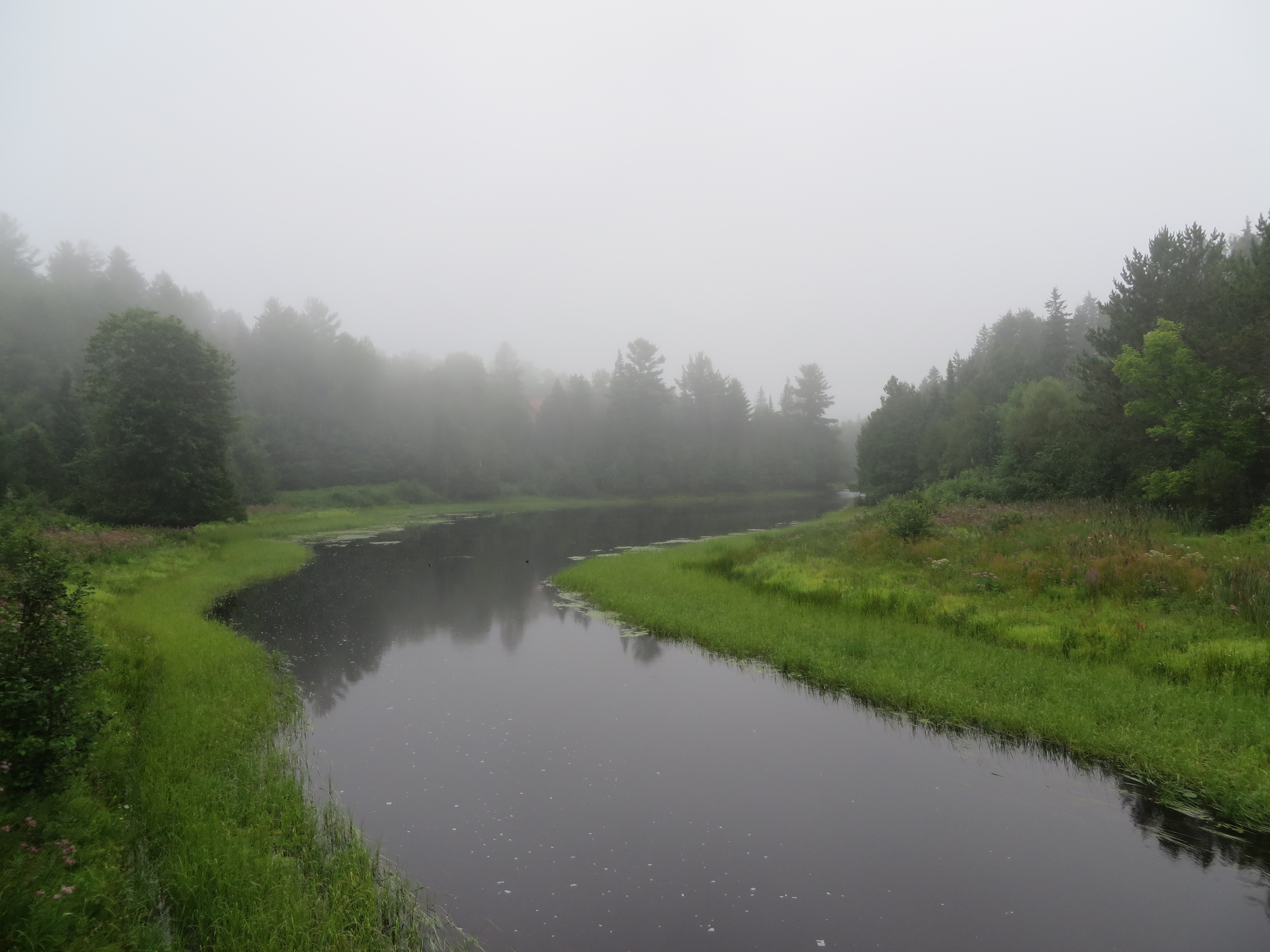
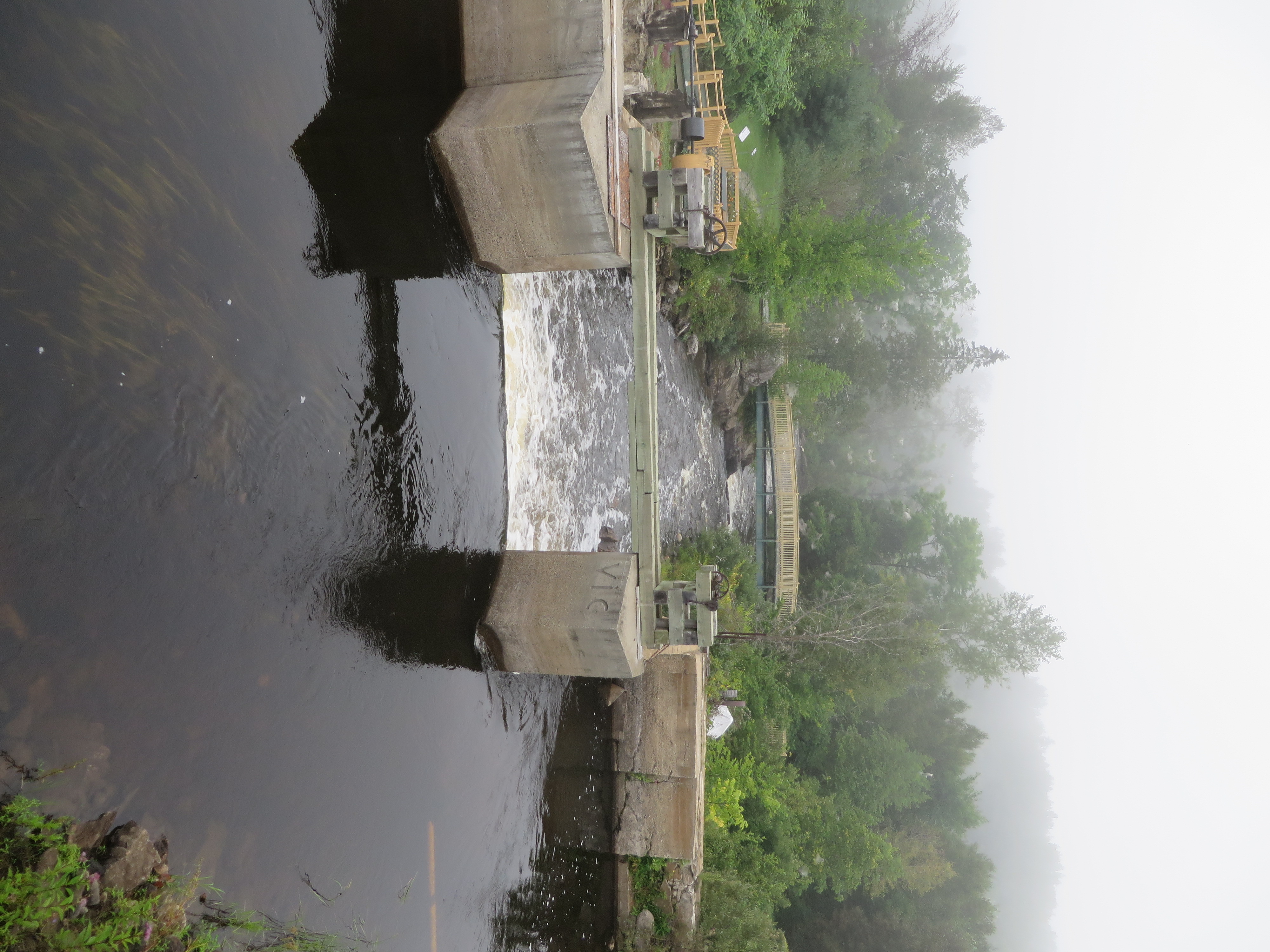
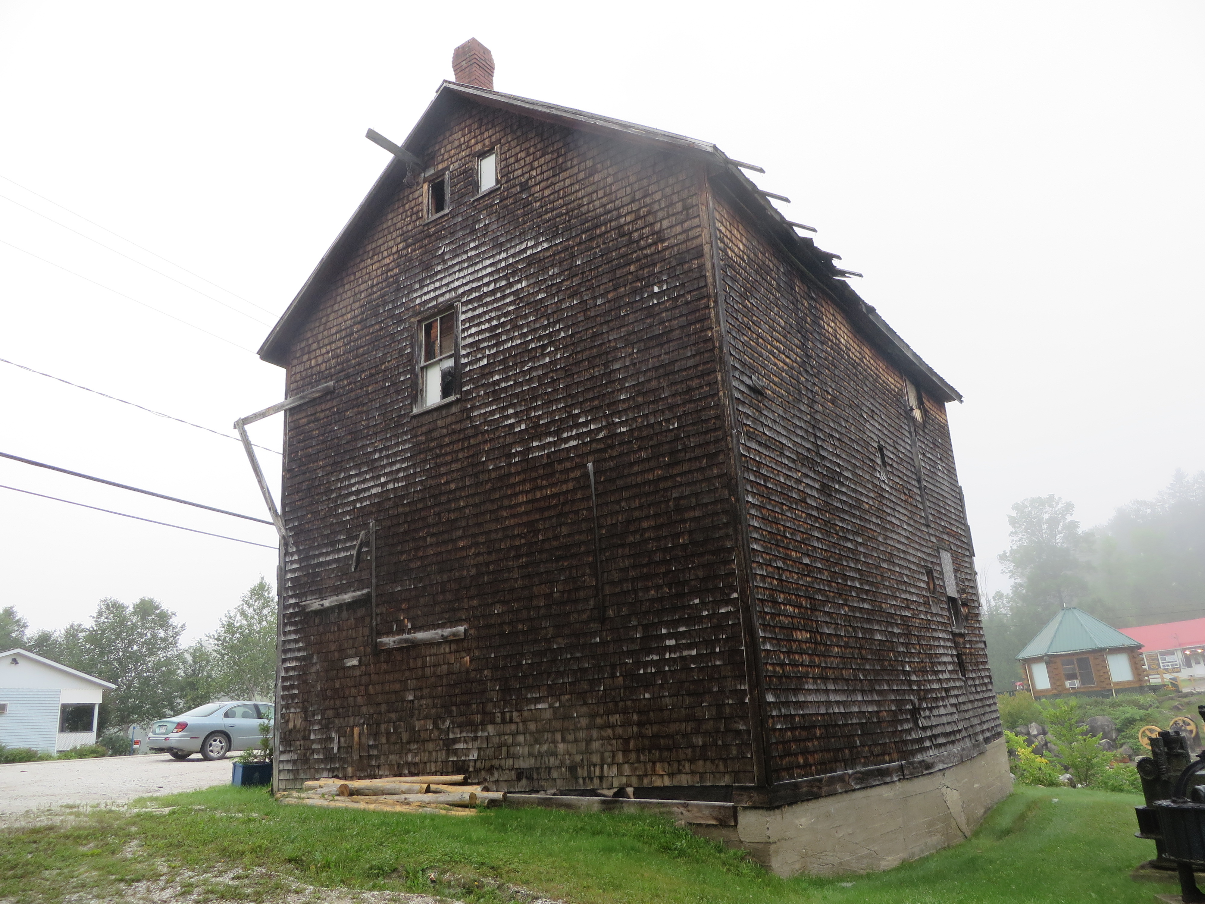
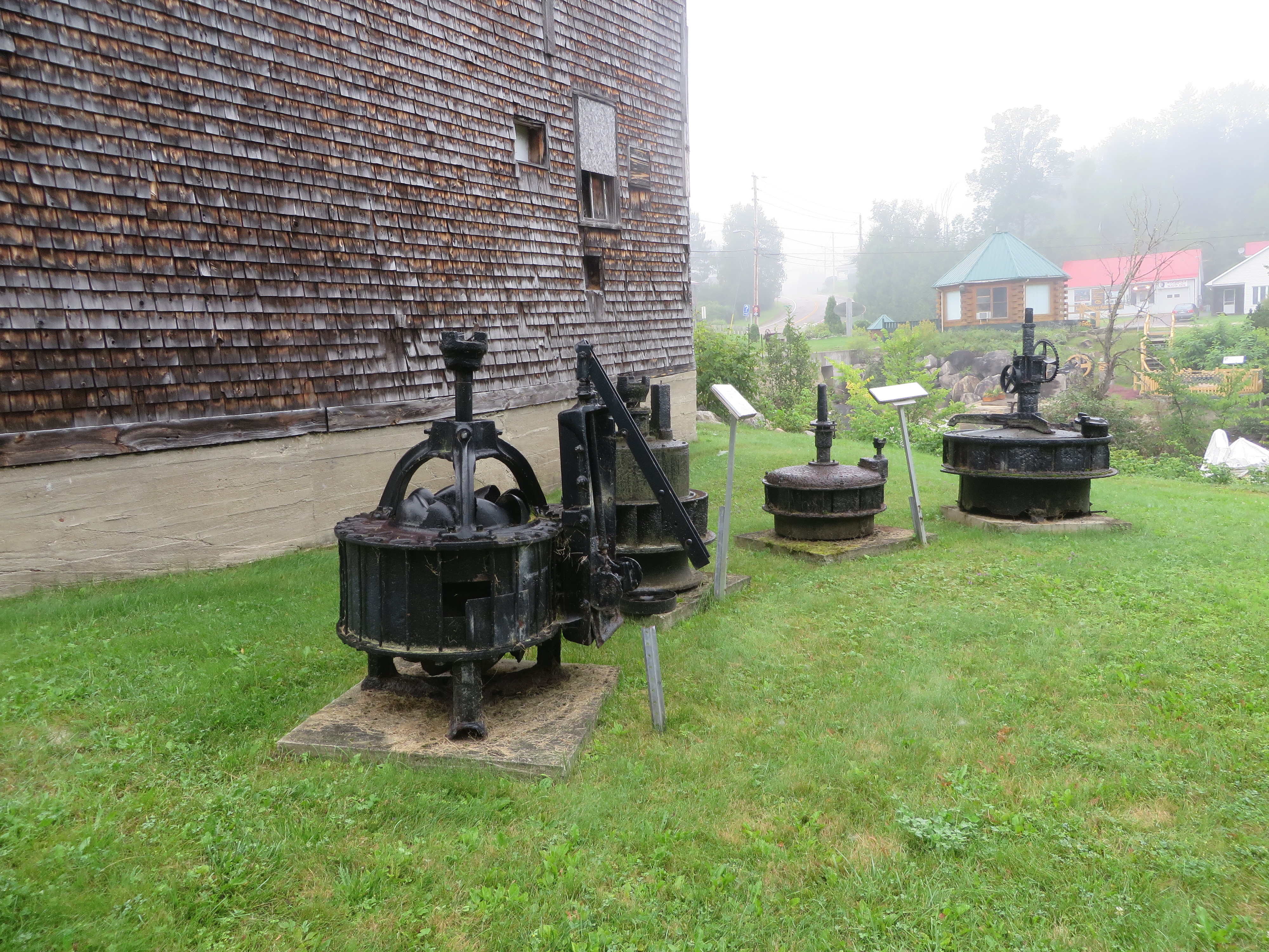
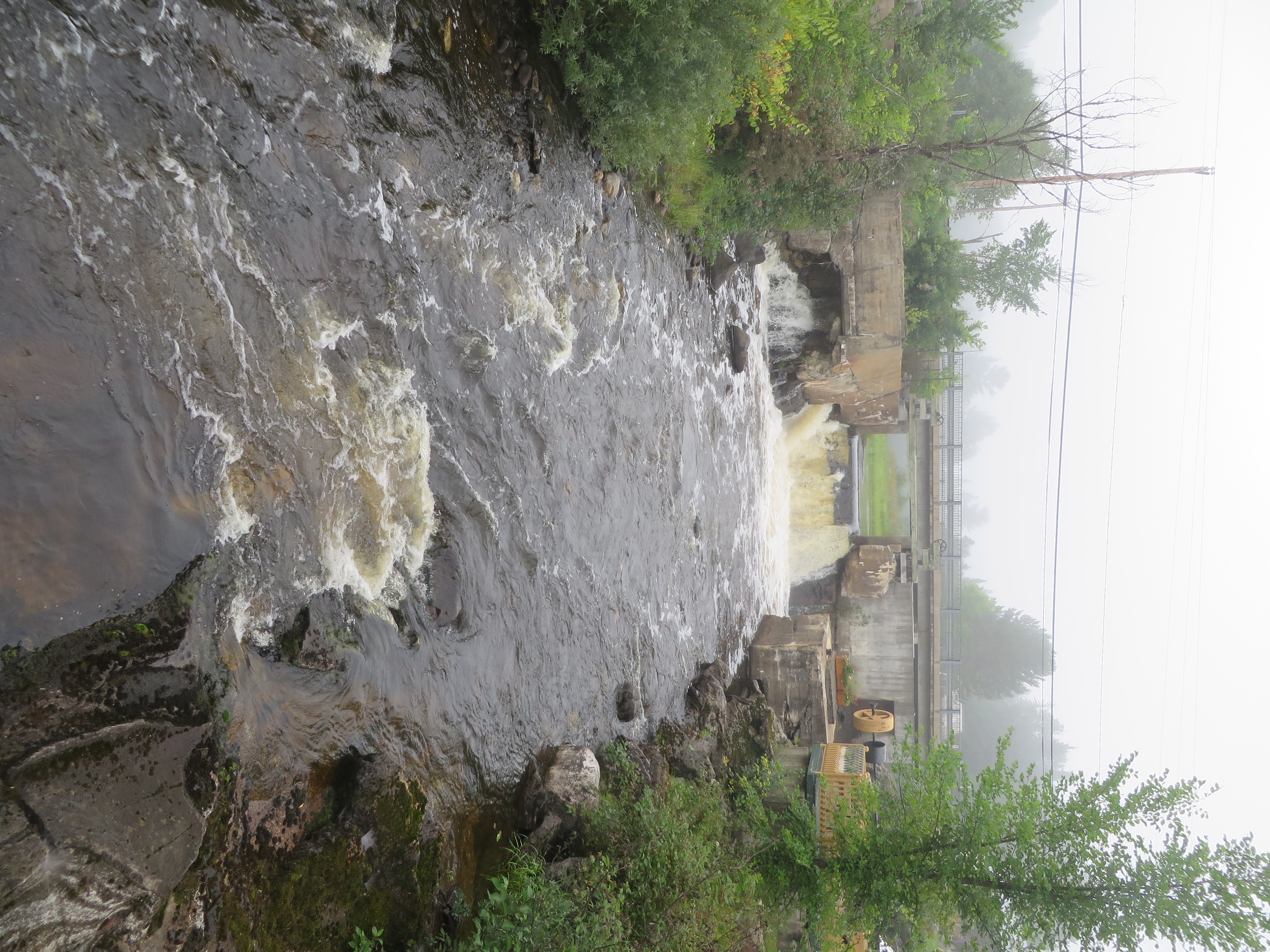
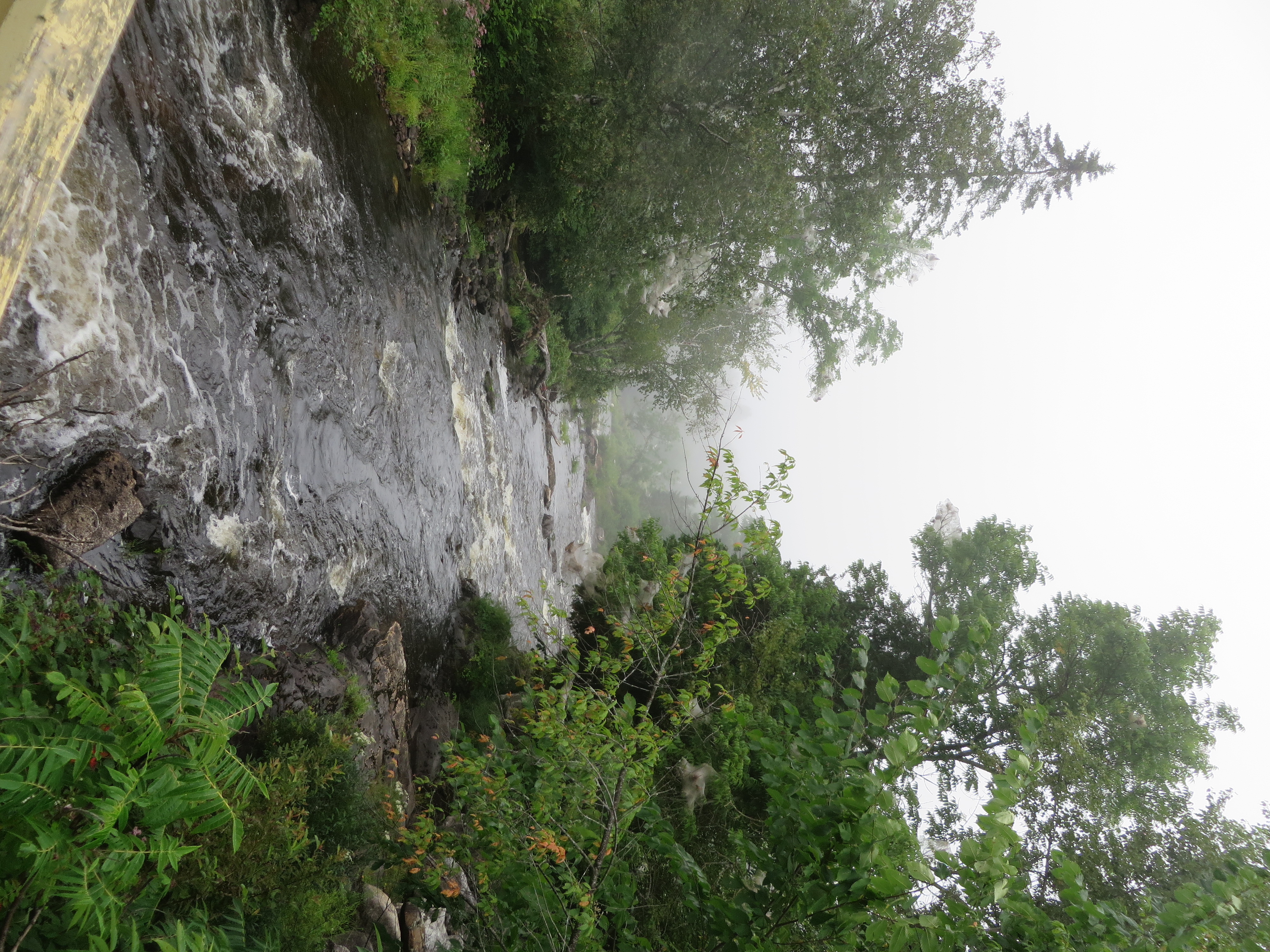
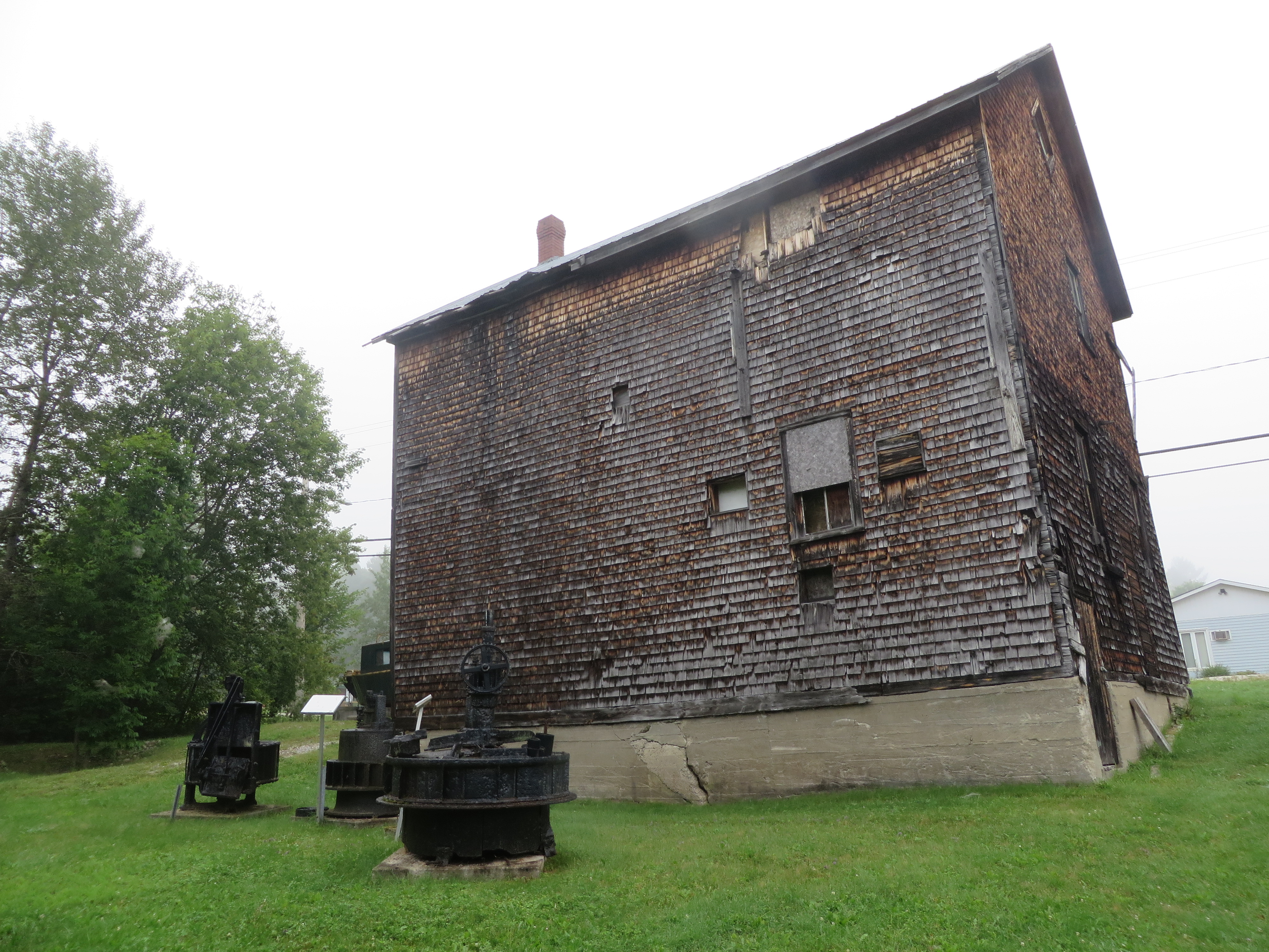
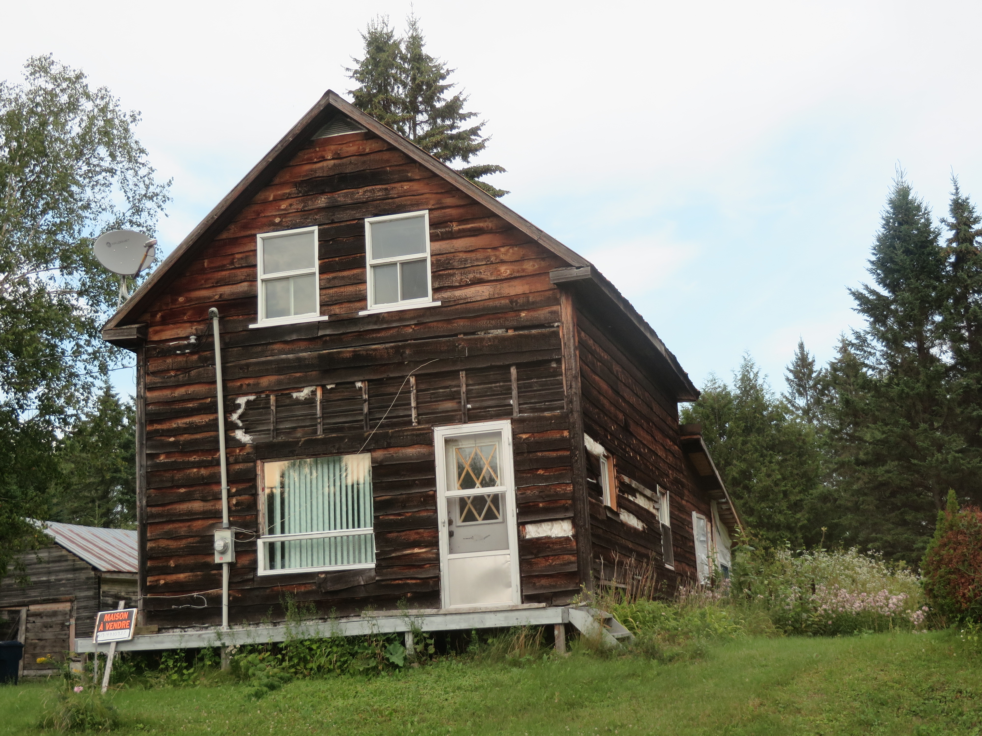
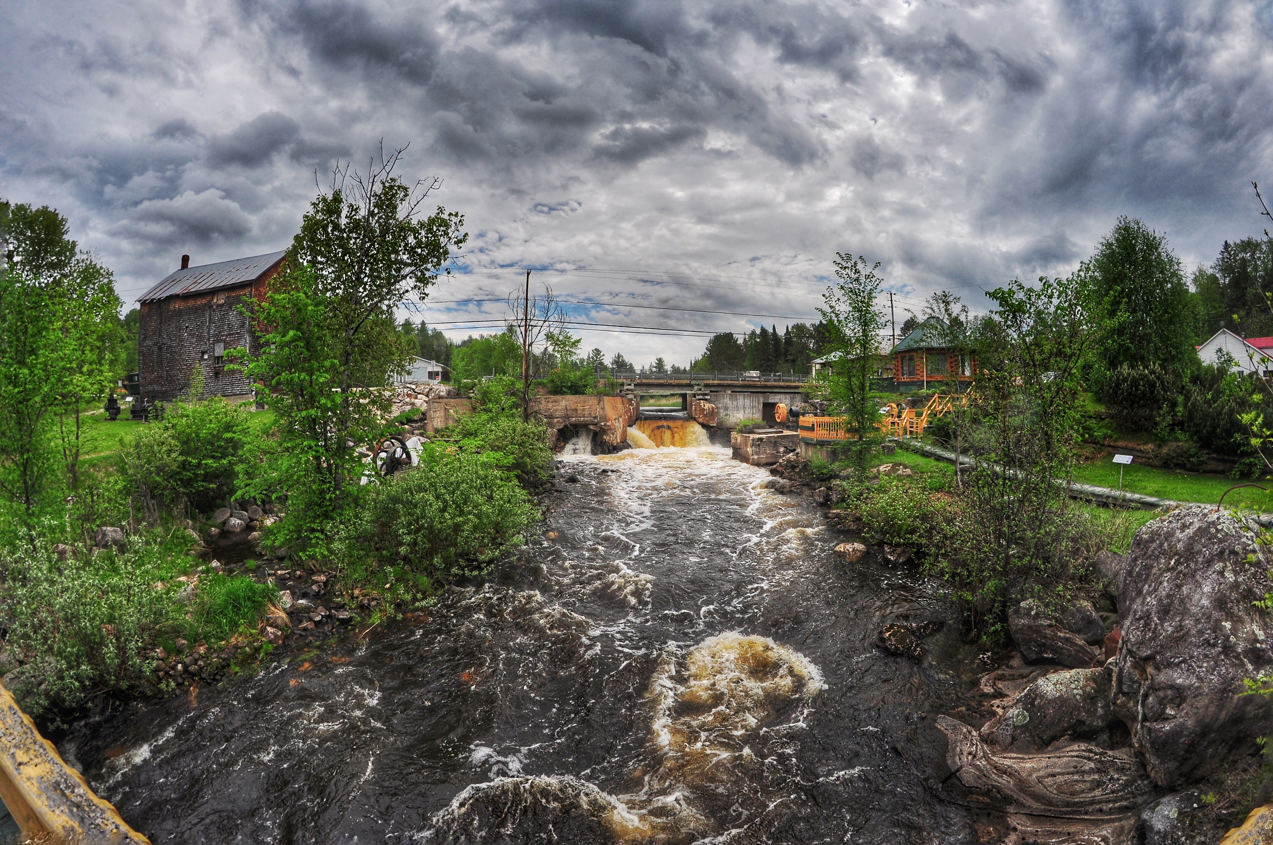
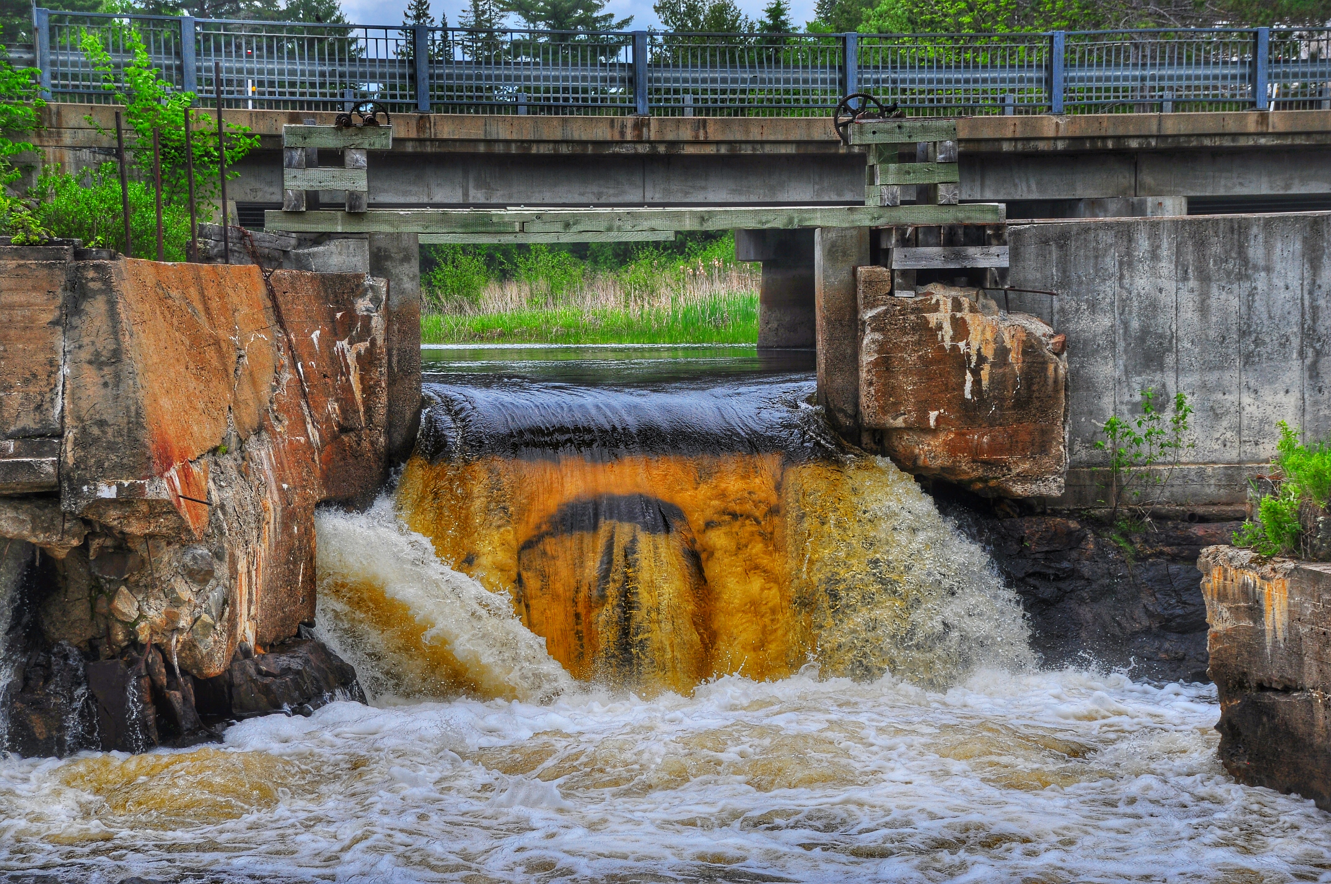
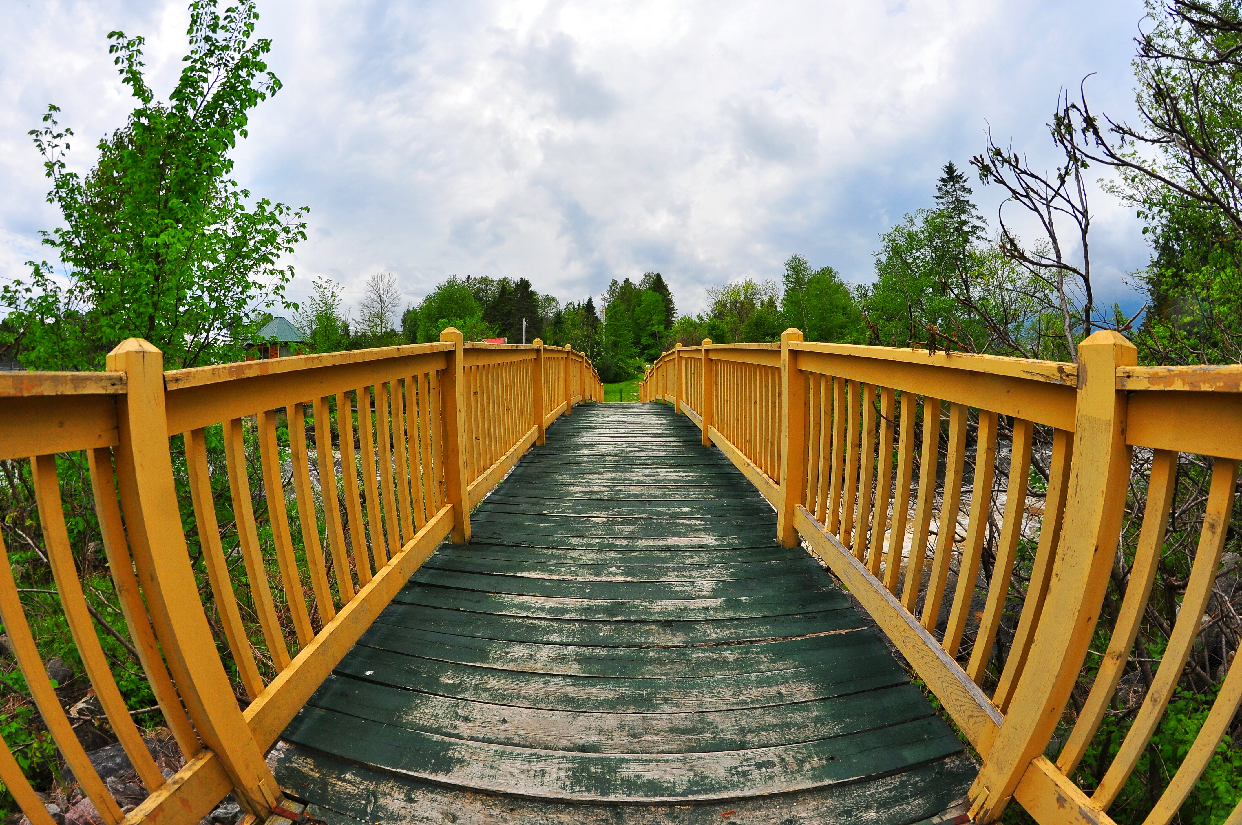
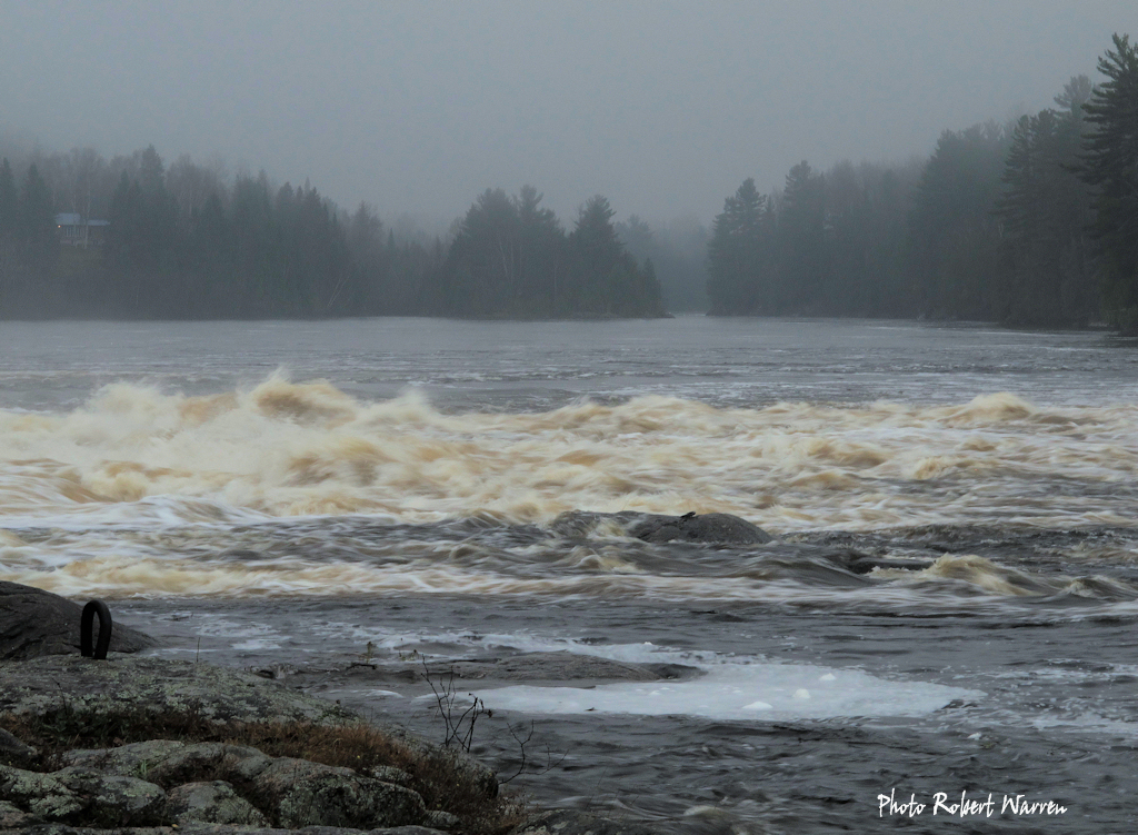
Sunrise & Sunset Photos
Aumond, Québec
Aumond, Québec
Aumond, Québec
Aumond, Québec
Aumond, Québec
Aumond, Québec
Aumond, Québec
Montcerf, Québec
DSC_6999-01
DSC_7005-01
DSC_7002-01

20100407-IMG_0721-Edit.jpg

20100407-IMG_0692-Edit-Edit.jpg
La rivière Gatineau à Grand-Remous, Québec
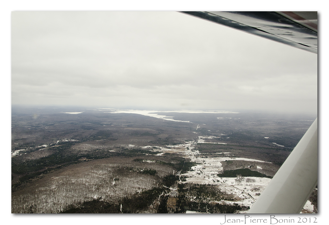
Réservoir Baskatong & Val-Limoges DSC_6063 copie
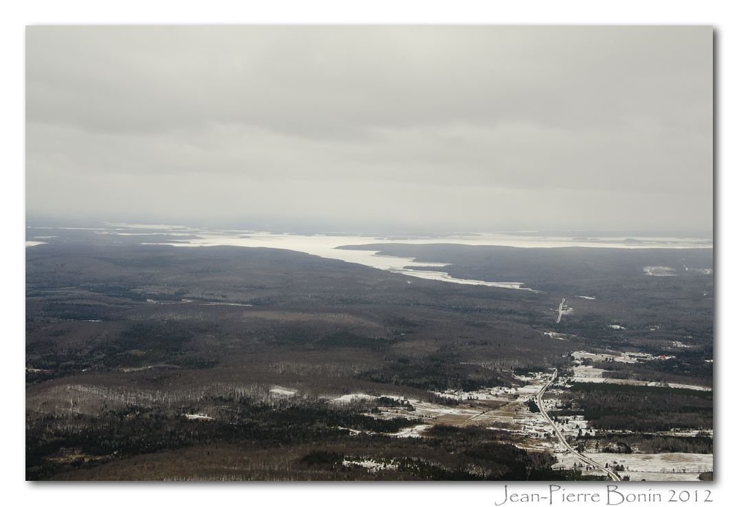
Réservoir Baskatong & Val-Limoges DSC_6064 copie
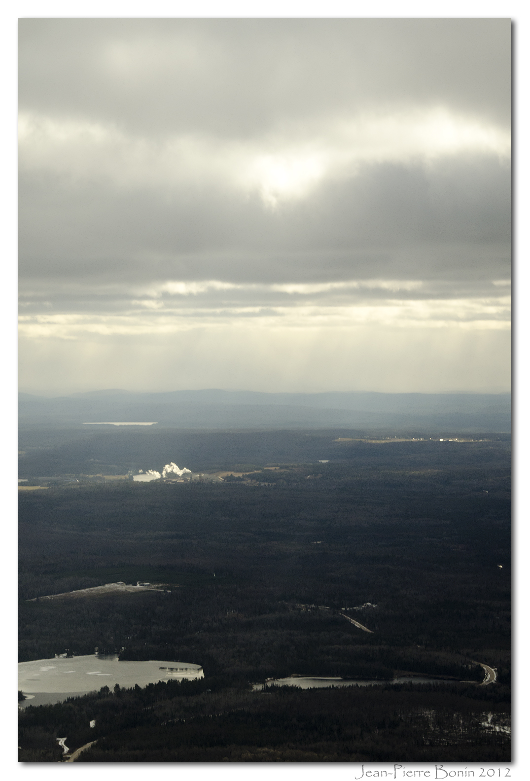
? Parc Industriel Bois-Franc ? DSC_6065 copie

Marais - Marsh DSC_6066 copie
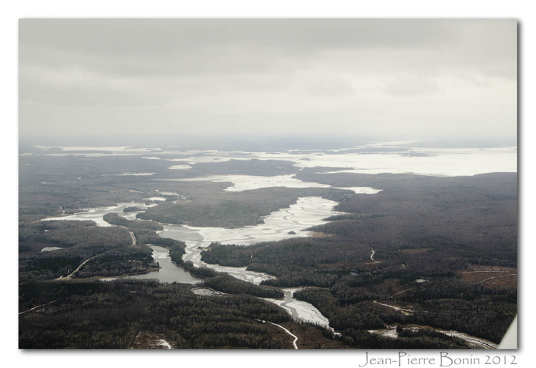
Réservoir Baskatong DSC_6067 copie
Chemin du Pont-Rouge Road & Rivière Gatineau River DSC_6069 copie
Chemin du Pont-Rouge Road & Rivière Gatineau River DSC_6071 copie
Aumond, QC, Canada Map
Search another place
Near Places
Grand-Remous, QC, Canada
Gite At the foot of the current, du Portage, Mont-Laurier, QC J9L 2A2, Canada
Rue Chasles, Mont-Laurier, QC J9L 3N6, Canada
Mont-Laurier, QC, Canada
Rue Plaisanciers, Ferme-Neuve, QC J0W, Canada
Chemin du Lac Nadeau, Mont-Laurier, QC J9L 3G4, Canada
Ferme-Neuve, QC, Canada
Ferme-Neuve, QC J0W, Canada
Kiamika, QC J0W 1G0, Canada
Lac-des-Écorces, QC, Canada
Rang 1 de Moreau, Mont-Saint-Michel, QC J0W 1P0, Canada
Domaine Lac Gravel Inc, Chemin du Tour du Lac Gravel, Mont-Saint-Michel, QC J0W 1P0, Canada
Beaux-Rivages, QC, Canada
Mont-Saint-Michel, QC J0W, Canada
Sainte-Anne-du-Lac, QC J0W, Canada
Sainte-Anne-du-Lac, QC J0W, Canada
Lac-Saint-Paul, QC J0W, Canada
Chemin des 5 et 6 Rang, Lac-Saguay, QC J0W 1L0, Canada
Chute-Saint-Philippe, QC, Canada
Chemin du Progrès, Chute-Saint-Philippe, QC J0W 1A0, Canada
Recent Searches
- Sunrise Sunset Times of Worksop S81 8GA, UK
- Sunrise Sunset Times of Cabo de Cruz, Boiro, A Coruña, Spain
- Sunrise Sunset Times of Japan, 山形県 置賜地方
- Sunrise Sunset Times of Yuci District, Jinzhong, Shanxi, China
- Sunrise Sunset Times of 4 Vale Rd, Sheffield S3 9QX, UK
- Sunrise Sunset Times of State St, Zanesville, OH, USA
- Sunrise Sunset Times of 1-chome Tsukaguchicho, Amagasaki, Hyogo -, Japan
- Sunrise Sunset Times of Kusushi Shrine, Subashiri, Oyama, Sunto District, Shizuoka -, Japan
- Sunrise Sunset Times of Sinai St 16, Be'er Sheva, Israel
- Sunrise Sunset Times of Presidente Quintana & Emilio Mitre, Carlos Keen, Provincia de Buenos Aires, Argentina