Sunrise Sunset Times of 41 Shillelagh Pl, Howard, CO, USA
Location: United States > Colorado > Fremont County > Howard >
Timezone:
America/Denver
Current Time:
2024-04-28 18:10:42
Longitude:
-105.82267
Latitude:
38.426484
Sunrise Today:
06:07:21 AM
Sunset Today:
07:53:40 PM
Daylength Today:
13h 46m 19s
Sunrise Tomorrow:
06:06:10 AM
Sunset Tomorrow:
07:54:37 PM
Daylength Tomorrow:
13h 48m 27s
Year Show All Dates
| Date | Sunrise | Sunset | Daylength |
|---|---|---|---|
| 01/01/2024 | 07:20:32 AM | 04:53:43 PM | 9h 33m 11s |
| 01/02/2024 | 07:20:38 AM | 04:54:33 PM | 9h 33m 55s |
| 01/03/2024 | 07:20:42 AM | 04:55:24 PM | 9h 34m 42s |
| 01/04/2024 | 07:20:44 AM | 04:56:16 PM | 9h 35m 32s |
| 01/05/2024 | 07:20:44 AM | 04:57:09 PM | 9h 36m 25s |
| 01/06/2024 | 07:20:41 AM | 04:58:04 PM | 9h 37m 23s |
| 01/07/2024 | 07:20:37 AM | 04:59:00 PM | 9h 38m 23s |
| 01/08/2024 | 07:20:31 AM | 04:59:57 PM | 9h 39m 26s |
| 01/09/2024 | 07:20:22 AM | 05:00:55 PM | 9h 40m 33s |
| 01/10/2024 | 07:20:11 AM | 05:01:54 PM | 9h 41m 43s |
| 01/11/2024 | 07:19:58 AM | 05:02:53 PM | 9h 42m 55s |
| 01/12/2024 | 07:19:43 AM | 05:03:54 PM | 9h 44m 11s |
| 01/13/2024 | 07:19:26 AM | 05:04:56 PM | 9h 45m 30s |
| 01/14/2024 | 07:19:07 AM | 05:05:58 PM | 9h 46m 51s |
| 01/15/2024 | 07:18:46 AM | 05:07:01 PM | 9h 48m 15s |
| 01/16/2024 | 07:18:23 AM | 05:08:05 PM | 9h 49m 42s |
| 01/17/2024 | 07:17:58 AM | 05:09:09 PM | 9h 51m 11s |
| 01/18/2024 | 07:17:30 AM | 05:10:14 PM | 9h 52m 44s |
| 01/19/2024 | 07:17:01 AM | 05:11:20 PM | 9h 54m 19s |
| 01/20/2024 | 07:16:30 AM | 05:12:26 PM | 9h 55m 56s |
| 01/21/2024 | 07:15:57 AM | 05:13:32 PM | 9h 57m 35s |
| 01/22/2024 | 07:15:22 AM | 05:14:39 PM | 9h 59m 17s |
| 01/23/2024 | 07:14:45 AM | 05:15:46 PM | 10h 1m 1s |
| 01/24/2024 | 07:14:06 AM | 05:16:53 PM | 10h 2m 47s |
| 01/25/2024 | 07:13:25 AM | 05:18:01 PM | 10h 4m 36s |
| 01/26/2024 | 07:12:42 AM | 05:19:09 PM | 10h 6m 27s |
| 01/27/2024 | 07:11:58 AM | 05:20:17 PM | 10h 8m 19s |
| 01/28/2024 | 07:11:12 AM | 05:21:25 PM | 10h 10m 13s |
| 01/29/2024 | 07:10:24 AM | 05:22:34 PM | 10h 12m 10s |
| 01/30/2024 | 07:09:35 AM | 05:23:42 PM | 10h 14m 7s |
| 01/31/2024 | 07:08:43 AM | 05:24:51 PM | 10h 16m 8s |
| 02/01/2024 | 07:07:50 AM | 05:25:59 PM | 10h 18m 9s |
| 02/02/2024 | 07:06:56 AM | 05:27:08 PM | 10h 20m 12s |
| 02/03/2024 | 07:06:00 AM | 05:28:16 PM | 10h 22m 16s |
| 02/04/2024 | 07:05:02 AM | 05:29:25 PM | 10h 24m 23s |
| 02/05/2024 | 07:04:03 AM | 05:30:33 PM | 10h 26m 30s |
| 02/06/2024 | 07:03:02 AM | 05:31:41 PM | 10h 28m 39s |
| 02/07/2024 | 07:02:00 AM | 05:32:49 PM | 10h 30m 49s |
| 02/08/2024 | 07:00:57 AM | 05:33:57 PM | 10h 33m 0s |
| 02/09/2024 | 06:59:52 AM | 05:35:05 PM | 10h 35m 13s |
| 02/10/2024 | 06:58:46 AM | 05:36:12 PM | 10h 37m 26s |
| 02/11/2024 | 06:57:38 AM | 05:37:19 PM | 10h 39m 41s |
| 02/12/2024 | 06:56:29 AM | 05:38:26 PM | 10h 41m 57s |
| 02/13/2024 | 06:55:19 AM | 05:39:33 PM | 10h 44m 14s |
| 02/14/2024 | 06:54:08 AM | 05:40:40 PM | 10h 46m 32s |
| 02/15/2024 | 06:52:55 AM | 05:41:46 PM | 10h 48m 51s |
| 02/16/2024 | 06:51:42 AM | 05:42:52 PM | 10h 51m 10s |
| 02/17/2024 | 06:50:27 AM | 05:43:58 PM | 10h 53m 31s |
| 02/18/2024 | 06:49:11 AM | 05:45:03 PM | 10h 55m 52s |
| 02/19/2024 | 06:47:54 AM | 05:46:08 PM | 10h 58m 14s |
| 02/20/2024 | 06:46:36 AM | 05:47:13 PM | 11h 0m 37s |
| 02/21/2024 | 06:45:18 AM | 05:48:17 PM | 11h 2m 59s |
| 02/22/2024 | 06:43:58 AM | 05:49:22 PM | 11h 5m 24s |
| 02/23/2024 | 06:42:37 AM | 05:50:25 PM | 11h 7m 48s |
| 02/24/2024 | 06:41:15 AM | 05:51:29 PM | 11h 10m 14s |
| 02/25/2024 | 06:39:53 AM | 05:52:32 PM | 11h 12m 39s |
| 02/26/2024 | 06:38:30 AM | 05:53:35 PM | 11h 15m 5s |
| 02/27/2024 | 06:37:06 AM | 05:54:38 PM | 11h 17m 32s |
| 02/28/2024 | 06:35:41 AM | 05:55:40 PM | 11h 19m 59s |
| 02/29/2024 | 06:34:15 AM | 05:56:42 PM | 11h 22m 27s |
| 03/01/2024 | 06:32:49 AM | 05:57:44 PM | 11h 24m 55s |
| 03/02/2024 | 06:31:23 AM | 05:58:45 PM | 11h 27m 22s |
| 03/03/2024 | 06:29:55 AM | 05:59:46 PM | 11h 29m 51s |
| 03/04/2024 | 06:28:27 AM | 06:00:47 PM | 11h 32m 20s |
| 03/05/2024 | 06:26:59 AM | 06:01:47 PM | 11h 34m 48s |
| 03/06/2024 | 06:25:29 AM | 06:02:48 PM | 11h 37m 19s |
| 03/07/2024 | 06:24:00 AM | 06:03:48 PM | 11h 39m 48s |
| 03/08/2024 | 06:22:30 AM | 06:04:47 PM | 11h 42m 17s |
| 03/09/2024 | 06:20:59 AM | 06:05:47 PM | 11h 44m 48s |
| 03/10/2024 | 07:19:32 AM | 07:06:44 PM | 11h 47m 12s |
| 03/11/2024 | 07:18:01 AM | 07:07:43 PM | 11h 49m 42s |
| 03/12/2024 | 07:16:30 AM | 07:08:41 PM | 11h 52m 11s |
| 03/13/2024 | 07:14:58 AM | 07:09:40 PM | 11h 54m 42s |
| 03/14/2024 | 07:13:26 AM | 07:10:38 PM | 11h 57m 12s |
| 03/15/2024 | 07:11:54 AM | 07:11:37 PM | 11h 59m 43s |
| 03/16/2024 | 07:10:21 AM | 07:12:35 PM | 12h 2m 14s |
| 03/17/2024 | 07:08:48 AM | 07:13:32 PM | 12h 4m 44s |
| 03/18/2024 | 07:07:15 AM | 07:14:30 PM | 12h 7m 15s |
| 03/19/2024 | 07:05:42 AM | 07:15:27 PM | 12h 9m 45s |
| 03/20/2024 | 07:04:09 AM | 07:16:25 PM | 12h 12m 16s |
| 03/21/2024 | 07:02:36 AM | 07:17:22 PM | 12h 14m 46s |
| 03/22/2024 | 07:01:03 AM | 07:18:19 PM | 12h 17m 16s |
| 03/23/2024 | 06:59:30 AM | 07:19:16 PM | 12h 19m 46s |
| 03/24/2024 | 06:57:57 AM | 07:20:13 PM | 12h 22m 16s |
| 03/25/2024 | 06:56:24 AM | 07:21:10 PM | 12h 24m 46s |
| 03/26/2024 | 06:54:51 AM | 07:22:07 PM | 12h 27m 16s |
| 03/27/2024 | 06:53:18 AM | 07:23:03 PM | 12h 29m 45s |
| 03/28/2024 | 06:51:45 AM | 07:24:00 PM | 12h 32m 15s |
| 03/29/2024 | 06:50:13 AM | 07:24:57 PM | 12h 34m 44s |
| 03/30/2024 | 06:48:41 AM | 07:25:53 PM | 12h 37m 12s |
| 03/31/2024 | 06:47:08 AM | 07:26:50 PM | 12h 39m 42s |
| 04/01/2024 | 06:45:37 AM | 07:27:46 PM | 12h 42m 9s |
| 04/02/2024 | 06:44:05 AM | 07:28:42 PM | 12h 44m 37s |
| 04/03/2024 | 06:42:34 AM | 07:29:39 PM | 12h 47m 5s |
| 04/04/2024 | 06:41:03 AM | 07:30:35 PM | 12h 49m 32s |
| 04/05/2024 | 06:39:33 AM | 07:31:32 PM | 12h 51m 59s |
| 04/06/2024 | 06:38:03 AM | 07:32:28 PM | 12h 54m 25s |
| 04/07/2024 | 06:36:33 AM | 07:33:25 PM | 12h 56m 52s |
| 04/08/2024 | 06:35:04 AM | 07:34:21 PM | 12h 59m 17s |
| 04/09/2024 | 06:33:36 AM | 07:35:18 PM | 13h 1m 42s |
| 04/10/2024 | 06:32:08 AM | 07:36:14 PM | 13h 4m 6s |
| 04/11/2024 | 06:30:40 AM | 07:37:11 PM | 13h 6m 31s |
| 04/12/2024 | 06:29:14 AM | 07:38:08 PM | 13h 8m 54s |
| 04/13/2024 | 06:27:47 AM | 07:39:04 PM | 13h 11m 17s |
| 04/14/2024 | 06:26:22 AM | 07:40:01 PM | 13h 13m 39s |
| 04/15/2024 | 06:24:57 AM | 07:40:58 PM | 13h 16m 1s |
| 04/16/2024 | 06:23:33 AM | 07:41:54 PM | 13h 18m 21s |
| 04/17/2024 | 06:22:10 AM | 07:42:51 PM | 13h 20m 41s |
| 04/18/2024 | 06:20:47 AM | 07:43:48 PM | 13h 23m 1s |
| 04/19/2024 | 06:19:25 AM | 07:44:45 PM | 13h 25m 20s |
| 04/20/2024 | 06:18:05 AM | 07:45:42 PM | 13h 27m 37s |
| 04/21/2024 | 06:16:45 AM | 07:46:39 PM | 13h 29m 54s |
| 04/22/2024 | 06:15:25 AM | 07:47:36 PM | 13h 32m 11s |
| 04/23/2024 | 06:14:07 AM | 07:48:32 PM | 13h 34m 25s |
| 04/24/2024 | 06:12:50 AM | 07:49:29 PM | 13h 36m 39s |
| 04/25/2024 | 06:11:34 AM | 07:50:26 PM | 13h 38m 52s |
| 04/26/2024 | 06:10:19 AM | 07:51:23 PM | 13h 41m 4s |
| 04/27/2024 | 06:09:05 AM | 07:52:20 PM | 13h 43m 15s |
| 04/28/2024 | 06:07:51 AM | 07:53:17 PM | 13h 45m 26s |
| 04/29/2024 | 06:06:40 AM | 07:54:13 PM | 13h 47m 33s |
| 04/30/2024 | 06:05:29 AM | 07:55:10 PM | 13h 49m 41s |
| 05/01/2024 | 06:04:19 AM | 07:56:07 PM | 13h 51m 48s |
| 05/02/2024 | 06:03:11 AM | 07:57:03 PM | 13h 53m 52s |
| 05/03/2024 | 06:02:04 AM | 07:57:59 PM | 13h 55m 55s |
| 05/04/2024 | 06:00:58 AM | 07:58:56 PM | 13h 57m 58s |
| 05/05/2024 | 05:59:53 AM | 07:59:52 PM | 13h 59m 59s |
| 05/06/2024 | 05:58:50 AM | 08:00:47 PM | 14h 1m 57s |
| 05/07/2024 | 05:57:48 AM | 08:01:43 PM | 14h 3m 55s |
| 05/08/2024 | 05:56:48 AM | 08:02:38 PM | 14h 5m 50s |
| 05/09/2024 | 05:55:48 AM | 08:03:33 PM | 14h 7m 45s |
| 05/10/2024 | 05:54:51 AM | 08:04:28 PM | 14h 9m 37s |
| 05/11/2024 | 05:53:54 AM | 08:05:23 PM | 14h 11m 29s |
| 05/12/2024 | 05:53:00 AM | 08:06:17 PM | 14h 13m 17s |
| 05/13/2024 | 05:52:07 AM | 08:07:10 PM | 14h 15m 3s |
| 05/14/2024 | 05:51:15 AM | 08:08:04 PM | 14h 16m 49s |
| 05/15/2024 | 05:50:25 AM | 08:08:57 PM | 14h 18m 32s |
| 05/16/2024 | 05:49:36 AM | 08:09:49 PM | 14h 20m 13s |
| 05/17/2024 | 05:48:49 AM | 08:10:41 PM | 14h 21m 52s |
| 05/18/2024 | 05:48:04 AM | 08:11:33 PM | 14h 23m 29s |
| 05/19/2024 | 05:47:20 AM | 08:12:23 PM | 14h 25m 3s |
| 05/20/2024 | 05:46:38 AM | 08:13:14 PM | 14h 26m 36s |
| 05/21/2024 | 05:45:58 AM | 08:14:03 PM | 14h 28m 5s |
| 05/22/2024 | 05:45:19 AM | 08:14:52 PM | 14h 29m 33s |
| 05/23/2024 | 05:44:43 AM | 08:15:40 PM | 14h 30m 57s |
| 05/24/2024 | 05:44:07 AM | 08:16:28 PM | 14h 32m 21s |
| 05/25/2024 | 05:43:34 AM | 08:17:14 PM | 14h 33m 40s |
| 05/26/2024 | 05:43:03 AM | 08:18:00 PM | 14h 34m 57s |
| 05/27/2024 | 05:42:33 AM | 08:18:45 PM | 14h 36m 12s |
| 05/28/2024 | 05:42:05 AM | 08:19:29 PM | 14h 37m 24s |
| 05/29/2024 | 05:41:39 AM | 08:20:12 PM | 14h 38m 33s |
| 05/30/2024 | 05:41:14 AM | 08:20:54 PM | 14h 39m 40s |
| 05/31/2024 | 05:40:52 AM | 08:21:36 PM | 14h 40m 44s |
| 06/01/2024 | 05:40:31 AM | 08:22:16 PM | 14h 41m 45s |
| 06/02/2024 | 05:40:12 AM | 08:22:54 PM | 14h 42m 42s |
| 06/03/2024 | 05:39:55 AM | 08:23:32 PM | 14h 43m 37s |
| 06/04/2024 | 05:39:40 AM | 08:24:09 PM | 14h 44m 29s |
| 06/05/2024 | 05:39:27 AM | 08:24:44 PM | 14h 45m 17s |
| 06/06/2024 | 05:39:15 AM | 08:25:18 PM | 14h 46m 3s |
| 06/07/2024 | 05:39:06 AM | 08:25:51 PM | 14h 46m 45s |
| 06/08/2024 | 05:38:58 AM | 08:26:22 PM | 14h 47m 24s |
| 06/09/2024 | 05:38:52 AM | 08:26:52 PM | 14h 48m 0s |
| 06/10/2024 | 05:38:48 AM | 08:27:21 PM | 14h 48m 33s |
| 06/11/2024 | 05:38:45 AM | 08:27:48 PM | 14h 49m 3s |
| 06/12/2024 | 05:38:45 AM | 08:28:14 PM | 14h 49m 29s |
| 06/13/2024 | 05:38:46 AM | 08:28:38 PM | 14h 49m 52s |
| 06/14/2024 | 05:38:49 AM | 08:29:01 PM | 14h 50m 12s |
| 06/15/2024 | 05:38:54 AM | 08:29:22 PM | 14h 50m 28s |
| 06/16/2024 | 05:39:01 AM | 08:29:41 PM | 14h 50m 40s |
| 06/17/2024 | 05:39:09 AM | 08:29:59 PM | 14h 50m 50s |
| 06/18/2024 | 05:39:19 AM | 08:30:15 PM | 14h 50m 56s |
| 06/19/2024 | 05:39:31 AM | 08:30:30 PM | 14h 50m 59s |
| 06/20/2024 | 05:39:44 AM | 08:30:42 PM | 14h 50m 58s |
| 06/21/2024 | 05:39:59 AM | 08:30:53 PM | 14h 50m 54s |
| 06/22/2024 | 05:40:16 AM | 08:31:03 PM | 14h 50m 47s |
| 06/23/2024 | 05:40:34 AM | 08:31:10 PM | 14h 50m 36s |
| 06/24/2024 | 05:40:54 AM | 08:31:16 PM | 14h 50m 22s |
| 06/25/2024 | 05:41:15 AM | 08:31:20 PM | 14h 50m 5s |
| 06/26/2024 | 05:41:38 AM | 08:31:22 PM | 14h 49m 44s |
| 06/27/2024 | 05:42:02 AM | 08:31:22 PM | 14h 49m 20s |
| 06/28/2024 | 05:42:28 AM | 08:31:20 PM | 14h 48m 52s |
| 06/29/2024 | 05:42:55 AM | 08:31:17 PM | 14h 48m 22s |
| 06/30/2024 | 05:43:23 AM | 08:31:11 PM | 14h 47m 48s |
| 07/01/2024 | 05:43:53 AM | 08:31:04 PM | 14h 47m 11s |
| 07/02/2024 | 05:44:24 AM | 08:30:55 PM | 14h 46m 31s |
| 07/03/2024 | 05:44:56 AM | 08:30:44 PM | 14h 45m 48s |
| 07/04/2024 | 05:45:30 AM | 08:30:31 PM | 14h 45m 1s |
| 07/05/2024 | 05:46:05 AM | 08:30:16 PM | 14h 44m 11s |
| 07/06/2024 | 05:46:40 AM | 08:29:59 PM | 14h 43m 19s |
| 07/07/2024 | 05:47:17 AM | 08:29:41 PM | 14h 42m 24s |
| 07/08/2024 | 05:47:55 AM | 08:29:20 PM | 14h 41m 25s |
| 07/09/2024 | 05:48:34 AM | 08:28:58 PM | 14h 40m 24s |
| 07/10/2024 | 05:49:14 AM | 08:28:34 PM | 14h 39m 20s |
| 07/11/2024 | 05:49:55 AM | 08:28:08 PM | 14h 38m 13s |
| 07/12/2024 | 05:50:37 AM | 08:27:40 PM | 14h 37m 3s |
| 07/13/2024 | 05:51:20 AM | 08:27:10 PM | 14h 35m 50s |
| 07/14/2024 | 05:52:03 AM | 08:26:39 PM | 14h 34m 36s |
| 07/15/2024 | 05:52:48 AM | 08:26:05 PM | 14h 33m 17s |
| 07/16/2024 | 05:53:33 AM | 08:25:30 PM | 14h 31m 57s |
| 07/17/2024 | 05:54:18 AM | 08:24:53 PM | 14h 30m 35s |
| 07/18/2024 | 05:55:05 AM | 08:24:14 PM | 14h 29m 9s |
| 07/19/2024 | 05:55:52 AM | 08:23:34 PM | 14h 27m 42s |
| 07/20/2024 | 05:56:39 AM | 08:22:52 PM | 14h 26m 13s |
| 07/21/2024 | 05:57:28 AM | 08:22:08 PM | 14h 24m 40s |
| 07/22/2024 | 05:58:16 AM | 08:21:22 PM | 14h 23m 6s |
| 07/23/2024 | 05:59:05 AM | 08:20:35 PM | 14h 21m 30s |
| 07/24/2024 | 05:59:55 AM | 08:19:46 PM | 14h 19m 51s |
| 07/25/2024 | 06:00:45 AM | 08:18:56 PM | 14h 18m 11s |
| 07/26/2024 | 06:01:36 AM | 08:18:03 PM | 14h 16m 27s |
| 07/27/2024 | 06:02:26 AM | 08:17:10 PM | 14h 14m 44s |
| 07/28/2024 | 06:03:18 AM | 08:16:15 PM | 14h 12m 57s |
| 07/29/2024 | 06:04:09 AM | 08:15:18 PM | 14h 11m 9s |
| 07/30/2024 | 06:05:01 AM | 08:14:20 PM | 14h 9m 19s |
| 07/31/2024 | 06:05:53 AM | 08:13:20 PM | 14h 7m 27s |
| 08/01/2024 | 06:06:45 AM | 08:12:19 PM | 14h 5m 34s |
| 08/02/2024 | 06:07:37 AM | 08:11:16 PM | 14h 3m 39s |
| 08/03/2024 | 06:08:30 AM | 08:10:12 PM | 14h 1m 42s |
| 08/04/2024 | 06:09:23 AM | 08:09:07 PM | 13h 59m 44s |
| 08/05/2024 | 06:10:16 AM | 08:08:01 PM | 13h 57m 45s |
| 08/06/2024 | 06:11:08 AM | 08:06:53 PM | 13h 55m 45s |
| 08/07/2024 | 06:12:02 AM | 08:05:44 PM | 13h 53m 42s |
| 08/08/2024 | 06:12:55 AM | 08:04:33 PM | 13h 51m 38s |
| 08/09/2024 | 06:13:48 AM | 08:03:22 PM | 13h 49m 34s |
| 08/10/2024 | 06:14:41 AM | 08:02:09 PM | 13h 47m 28s |
| 08/11/2024 | 06:15:34 AM | 08:00:55 PM | 13h 45m 21s |
| 08/12/2024 | 06:16:28 AM | 07:59:40 PM | 13h 43m 12s |
| 08/13/2024 | 06:17:21 AM | 07:58:24 PM | 13h 41m 3s |
| 08/14/2024 | 06:18:14 AM | 07:57:07 PM | 13h 38m 53s |
| 08/15/2024 | 06:19:07 AM | 07:55:48 PM | 13h 36m 41s |
| 08/16/2024 | 06:20:01 AM | 07:54:29 PM | 13h 34m 28s |
| 08/17/2024 | 06:20:54 AM | 07:53:09 PM | 13h 32m 15s |
| 08/18/2024 | 06:21:47 AM | 07:51:48 PM | 13h 30m 1s |
| 08/19/2024 | 06:22:40 AM | 07:50:26 PM | 13h 27m 46s |
| 08/20/2024 | 06:23:33 AM | 07:49:03 PM | 13h 25m 30s |
| 08/21/2024 | 06:24:26 AM | 07:47:39 PM | 13h 23m 13s |
| 08/22/2024 | 06:25:19 AM | 07:46:15 PM | 13h 20m 56s |
| 08/23/2024 | 06:26:12 AM | 07:44:49 PM | 13h 18m 37s |
| 08/24/2024 | 06:27:04 AM | 07:43:23 PM | 13h 16m 19s |
| 08/25/2024 | 06:27:57 AM | 07:41:57 PM | 13h 14m 0s |
| 08/26/2024 | 06:28:50 AM | 07:40:29 PM | 13h 11m 39s |
| 08/27/2024 | 06:29:42 AM | 07:39:01 PM | 13h 9m 19s |
| 08/28/2024 | 06:30:35 AM | 07:37:32 PM | 13h 6m 57s |
| 08/29/2024 | 06:31:27 AM | 07:36:03 PM | 13h 4m 36s |
| 08/30/2024 | 06:32:20 AM | 07:34:33 PM | 13h 2m 13s |
| 08/31/2024 | 06:33:12 AM | 07:33:02 PM | 12h 59m 50s |
| 09/01/2024 | 06:34:04 AM | 07:31:31 PM | 12h 57m 27s |
| 09/02/2024 | 06:34:56 AM | 07:30:00 PM | 12h 55m 4s |
| 09/03/2024 | 06:35:48 AM | 07:28:28 PM | 12h 52m 40s |
| 09/04/2024 | 06:36:41 AM | 07:26:55 PM | 12h 50m 14s |
| 09/05/2024 | 06:37:33 AM | 07:25:22 PM | 12h 47m 49s |
| 09/06/2024 | 06:38:25 AM | 07:23:49 PM | 12h 45m 24s |
| 09/07/2024 | 06:39:17 AM | 07:22:16 PM | 12h 42m 59s |
| 09/08/2024 | 06:40:09 AM | 07:20:42 PM | 12h 40m 33s |
| 09/09/2024 | 06:41:01 AM | 07:19:08 PM | 12h 38m 7s |
| 09/10/2024 | 06:41:53 AM | 07:17:33 PM | 12h 35m 40s |
| 09/11/2024 | 06:42:45 AM | 07:15:59 PM | 12h 33m 14s |
| 09/12/2024 | 06:43:37 AM | 07:14:24 PM | 12h 30m 47s |
| 09/13/2024 | 06:44:30 AM | 07:12:49 PM | 12h 28m 19s |
| 09/14/2024 | 06:45:22 AM | 07:11:14 PM | 12h 25m 52s |
| 09/15/2024 | 06:46:14 AM | 07:09:38 PM | 12h 23m 24s |
| 09/16/2024 | 06:47:07 AM | 07:08:03 PM | 12h 20m 56s |
| 09/17/2024 | 06:47:59 AM | 07:06:28 PM | 12h 18m 29s |
| 09/18/2024 | 06:48:52 AM | 07:04:53 PM | 12h 16m 1s |
| 09/19/2024 | 06:49:44 AM | 07:03:17 PM | 12h 13m 33s |
| 09/20/2024 | 06:50:37 AM | 07:01:42 PM | 12h 11m 5s |
| 09/21/2024 | 06:51:30 AM | 07:00:07 PM | 12h 8m 37s |
| 09/22/2024 | 06:52:23 AM | 06:58:32 PM | 12h 6m 9s |
| 09/23/2024 | 06:53:16 AM | 06:56:57 PM | 12h 3m 41s |
| 09/24/2024 | 06:54:10 AM | 06:55:22 PM | 12h 1m 12s |
| 09/25/2024 | 06:55:03 AM | 06:53:47 PM | 11h 58m 44s |
| 09/26/2024 | 06:55:57 AM | 06:52:13 PM | 11h 56m 16s |
| 09/27/2024 | 06:56:51 AM | 06:50:38 PM | 11h 53m 47s |
| 09/28/2024 | 06:57:45 AM | 06:49:05 PM | 11h 51m 20s |
| 09/29/2024 | 06:58:39 AM | 06:47:31 PM | 11h 48m 52s |
| 09/30/2024 | 06:59:34 AM | 06:45:58 PM | 11h 46m 24s |
| 10/01/2024 | 07:00:29 AM | 06:44:25 PM | 11h 43m 56s |
| 10/02/2024 | 07:01:24 AM | 06:42:52 PM | 11h 41m 28s |
| 10/03/2024 | 07:02:19 AM | 06:41:20 PM | 11h 39m 1s |
| 10/04/2024 | 07:03:15 AM | 06:39:49 PM | 11h 36m 34s |
| 10/05/2024 | 07:04:11 AM | 06:38:17 PM | 11h 34m 6s |
| 10/06/2024 | 07:05:07 AM | 06:36:47 PM | 11h 31m 40s |
| 10/07/2024 | 07:06:04 AM | 06:35:17 PM | 11h 29m 13s |
| 10/08/2024 | 07:07:00 AM | 06:33:47 PM | 11h 26m 47s |
| 10/09/2024 | 07:07:57 AM | 06:32:19 PM | 11h 24m 22s |
| 10/10/2024 | 07:08:55 AM | 06:30:50 PM | 11h 21m 55s |
| 10/11/2024 | 07:09:53 AM | 06:29:23 PM | 11h 19m 30s |
| 10/12/2024 | 07:10:51 AM | 06:27:56 PM | 11h 17m 5s |
| 10/13/2024 | 07:11:49 AM | 06:26:30 PM | 11h 14m 41s |
| 10/14/2024 | 07:12:48 AM | 06:25:05 PM | 11h 12m 17s |
| 10/15/2024 | 07:13:47 AM | 06:23:40 PM | 11h 9m 53s |
| 10/16/2024 | 07:14:46 AM | 06:22:17 PM | 11h 7m 31s |
| 10/17/2024 | 07:15:46 AM | 06:20:54 PM | 11h 5m 8s |
| 10/18/2024 | 07:16:46 AM | 06:19:32 PM | 11h 2m 46s |
| 10/19/2024 | 07:17:47 AM | 06:18:11 PM | 11h 0m 24s |
| 10/20/2024 | 07:18:47 AM | 06:16:51 PM | 10h 58m 4s |
| 10/21/2024 | 07:19:48 AM | 06:15:32 PM | 10h 55m 44s |
| 10/22/2024 | 07:20:50 AM | 06:14:14 PM | 10h 53m 24s |
| 10/23/2024 | 07:21:52 AM | 06:12:57 PM | 10h 51m 5s |
| 10/24/2024 | 07:22:54 AM | 06:11:42 PM | 10h 48m 48s |
| 10/25/2024 | 07:23:56 AM | 06:10:27 PM | 10h 46m 31s |
| 10/26/2024 | 07:24:59 AM | 06:09:14 PM | 10h 44m 15s |
| 10/27/2024 | 07:26:02 AM | 06:08:02 PM | 10h 42m 0s |
| 10/28/2024 | 07:27:05 AM | 06:06:51 PM | 10h 39m 46s |
| 10/29/2024 | 07:28:09 AM | 06:05:41 PM | 10h 37m 32s |
| 10/30/2024 | 07:29:13 AM | 06:04:33 PM | 10h 35m 20s |
| 10/31/2024 | 07:30:17 AM | 06:03:26 PM | 10h 33m 9s |
| 11/01/2024 | 07:31:21 AM | 06:02:20 PM | 10h 30m 59s |
| 11/02/2024 | 07:32:25 AM | 06:01:16 PM | 10h 28m 51s |
| 11/03/2024 | 06:33:33 AM | 05:00:10 PM | 10h 26m 37s |
| 11/04/2024 | 06:34:38 AM | 04:59:09 PM | 10h 24m 31s |
| 11/05/2024 | 06:35:43 AM | 04:58:10 PM | 10h 22m 27s |
| 11/06/2024 | 06:36:48 AM | 04:57:11 PM | 10h 20m 23s |
| 11/07/2024 | 06:37:53 AM | 04:56:15 PM | 10h 18m 22s |
| 11/08/2024 | 06:38:59 AM | 04:55:20 PM | 10h 16m 21s |
| 11/09/2024 | 06:40:04 AM | 04:54:27 PM | 10h 14m 23s |
| 11/10/2024 | 06:41:09 AM | 04:53:35 PM | 10h 12m 26s |
| 11/11/2024 | 06:42:15 AM | 04:52:45 PM | 10h 10m 30s |
| 11/12/2024 | 06:43:20 AM | 04:51:57 PM | 10h 8m 37s |
| 11/13/2024 | 06:44:26 AM | 04:51:10 PM | 10h 6m 44s |
| 11/14/2024 | 06:45:31 AM | 04:50:26 PM | 10h 4m 55s |
| 11/15/2024 | 06:46:36 AM | 04:49:43 PM | 10h 3m 7s |
| 11/16/2024 | 06:47:41 AM | 04:49:02 PM | 10h 1m 21s |
| 11/17/2024 | 06:48:45 AM | 04:48:23 PM | 9h 59m 38s |
| 11/18/2024 | 06:49:50 AM | 04:47:46 PM | 9h 57m 56s |
| 11/19/2024 | 06:50:54 AM | 04:47:11 PM | 9h 56m 17s |
| 11/20/2024 | 06:51:57 AM | 04:46:37 PM | 9h 54m 40s |
| 11/21/2024 | 06:53:01 AM | 04:46:06 PM | 9h 53m 5s |
| 11/22/2024 | 06:54:04 AM | 04:45:37 PM | 9h 51m 33s |
| 11/23/2024 | 06:55:06 AM | 04:45:10 PM | 9h 50m 4s |
| 11/24/2024 | 06:56:08 AM | 04:44:45 PM | 9h 48m 37s |
| 11/25/2024 | 06:57:09 AM | 04:44:21 PM | 9h 47m 12s |
| 11/26/2024 | 06:58:10 AM | 04:44:00 PM | 9h 45m 50s |
| 11/27/2024 | 06:59:10 AM | 04:43:41 PM | 9h 44m 31s |
| 11/28/2024 | 07:00:09 AM | 04:43:25 PM | 9h 43m 16s |
| 11/29/2024 | 07:01:07 AM | 04:43:10 PM | 9h 42m 3s |
| 11/30/2024 | 07:02:05 AM | 04:42:57 PM | 9h 40m 52s |
| 12/01/2024 | 07:03:02 AM | 04:42:47 PM | 9h 39m 45s |
| 12/02/2024 | 07:03:58 AM | 04:42:39 PM | 9h 38m 41s |
| 12/03/2024 | 07:04:52 AM | 04:42:33 PM | 9h 37m 41s |
| 12/04/2024 | 07:05:46 AM | 04:42:29 PM | 9h 36m 43s |
| 12/05/2024 | 07:06:39 AM | 04:42:27 PM | 9h 35m 48s |
| 12/06/2024 | 07:07:30 AM | 04:42:27 PM | 9h 34m 57s |
| 12/07/2024 | 07:08:21 AM | 04:42:30 PM | 9h 34m 9s |
| 12/08/2024 | 07:09:10 AM | 04:42:34 PM | 9h 33m 24s |
| 12/09/2024 | 07:09:57 AM | 04:42:41 PM | 9h 32m 44s |
| 12/10/2024 | 07:10:44 AM | 04:42:50 PM | 9h 32m 6s |
| 12/11/2024 | 07:11:29 AM | 04:43:01 PM | 9h 31m 32s |
| 12/12/2024 | 07:12:12 AM | 04:43:14 PM | 9h 31m 2s |
| 12/13/2024 | 07:12:54 AM | 04:43:30 PM | 9h 30m 36s |
| 12/14/2024 | 07:13:35 AM | 04:43:47 PM | 9h 30m 12s |
| 12/15/2024 | 07:14:14 AM | 04:44:06 PM | 9h 29m 52s |
| 12/16/2024 | 07:14:51 AM | 04:44:28 PM | 9h 29m 37s |
| 12/17/2024 | 07:15:27 AM | 04:44:51 PM | 9h 29m 24s |
| 12/18/2024 | 07:16:01 AM | 04:45:17 PM | 9h 29m 16s |
| 12/19/2024 | 07:16:33 AM | 04:45:44 PM | 9h 29m 11s |
| 12/20/2024 | 07:17:03 AM | 04:46:13 PM | 9h 29m 10s |
| 12/21/2024 | 07:17:32 AM | 04:46:44 PM | 9h 29m 12s |
| 12/22/2024 | 07:17:58 AM | 04:47:17 PM | 9h 29m 19s |
| 12/23/2024 | 07:18:23 AM | 04:47:52 PM | 9h 29m 29s |
| 12/24/2024 | 07:18:46 AM | 04:48:29 PM | 9h 29m 43s |
| 12/25/2024 | 07:19:07 AM | 04:49:07 PM | 9h 30m 0s |
| 12/26/2024 | 07:19:26 AM | 04:49:47 PM | 9h 30m 21s |
| 12/27/2024 | 07:19:43 AM | 04:50:29 PM | 9h 30m 46s |
| 12/28/2024 | 07:19:58 AM | 04:51:12 PM | 9h 31m 14s |
| 12/29/2024 | 07:20:10 AM | 04:51:57 PM | 9h 31m 47s |
| 12/30/2024 | 07:20:21 AM | 04:52:43 PM | 9h 32m 22s |
Sunrise & Sunset Photos

View from the Rails

Playing at the stream
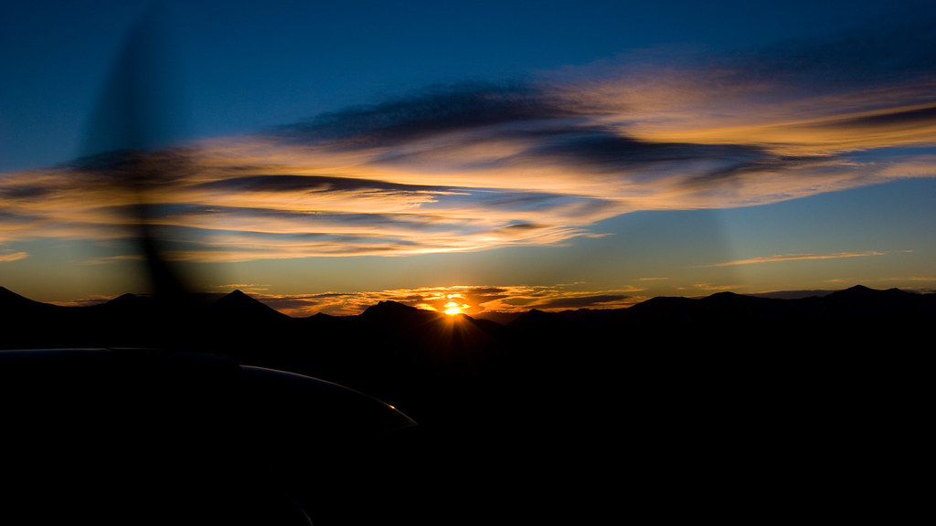
Sangre de Cristo Sunrise (aerial)
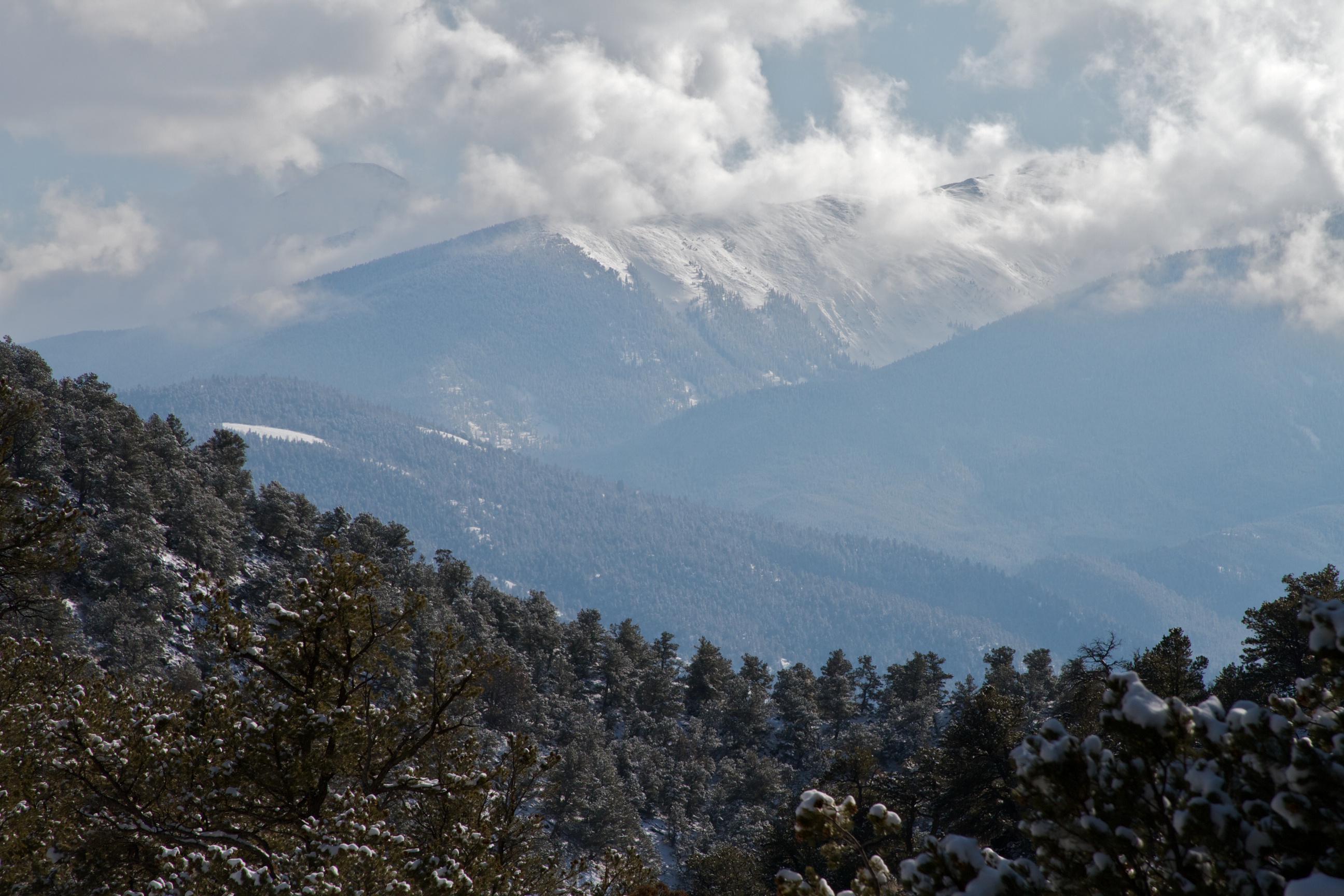
view back towards the railroad
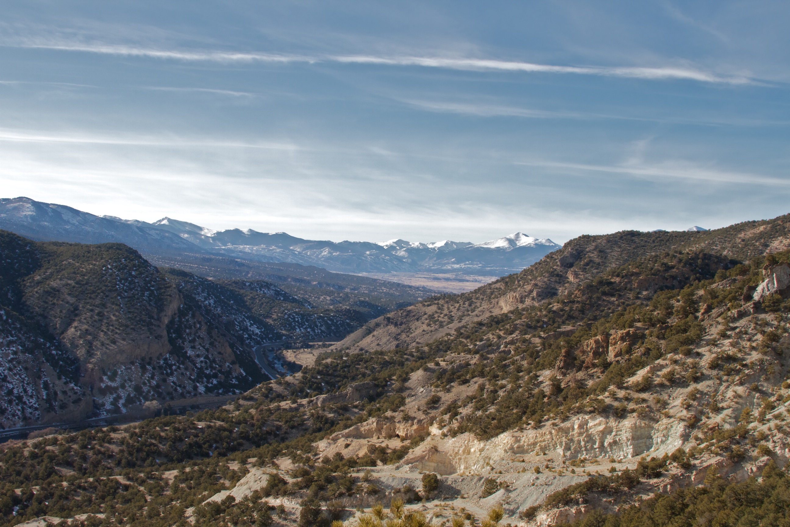
View Back Towards Salida from Wellsville
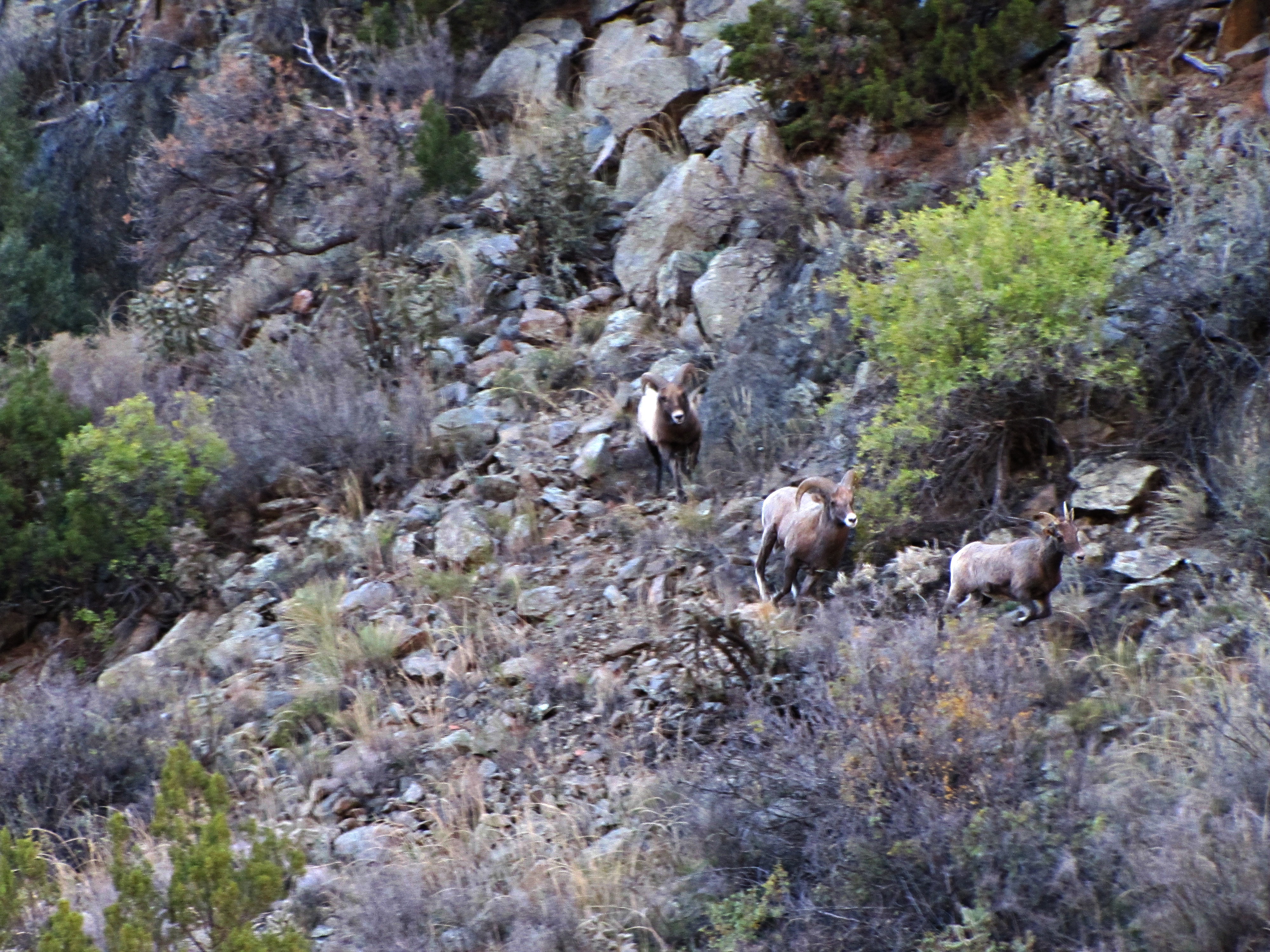
The rut (4 of 6)
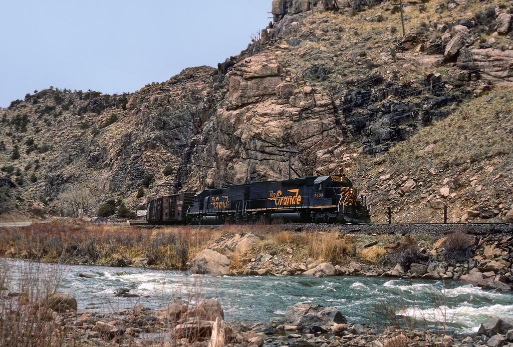
Cotopaxi bound
Cañon City (Cotopaxi), Colorado
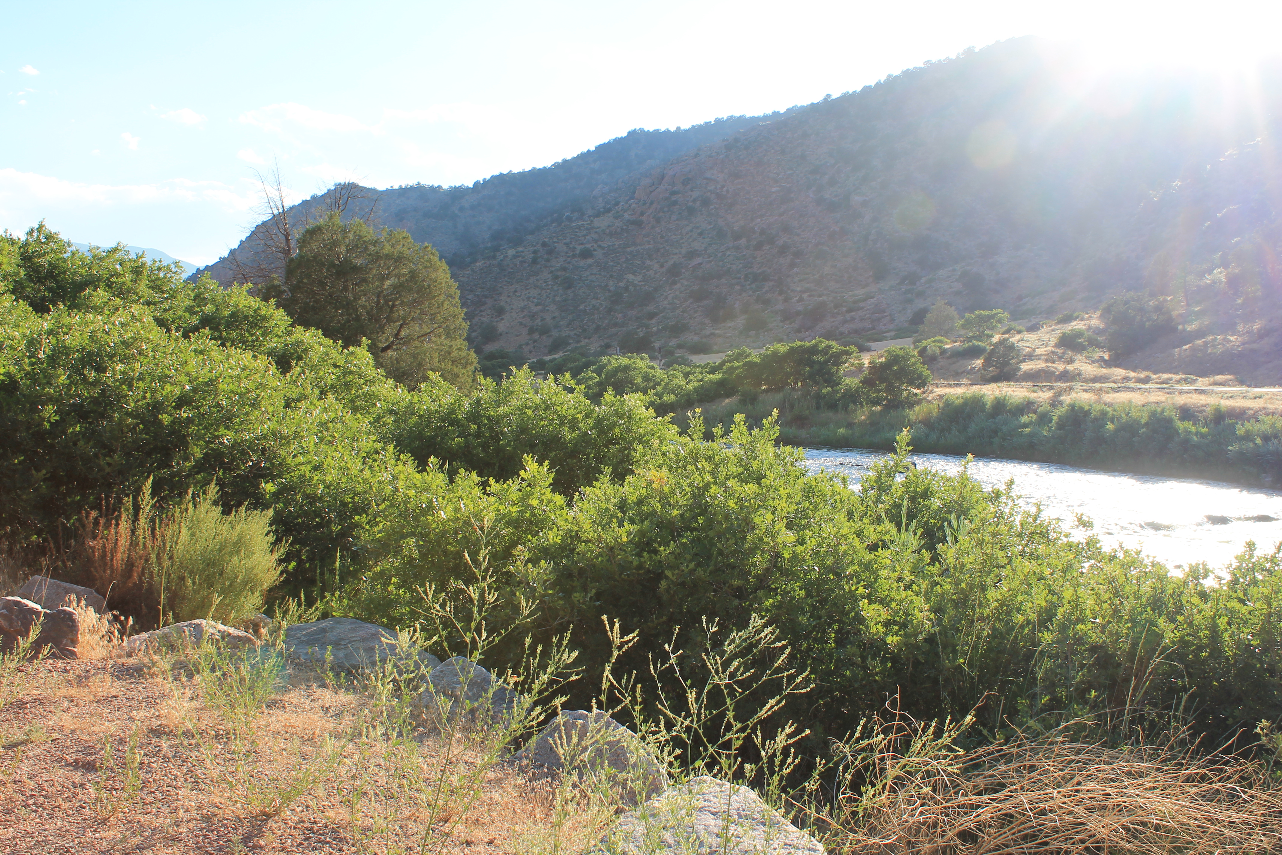
IMG_0402 The Arkansas River off of US Hwy 50 38.000d22.000m01.186s N 105.000d42.000m56.082s W
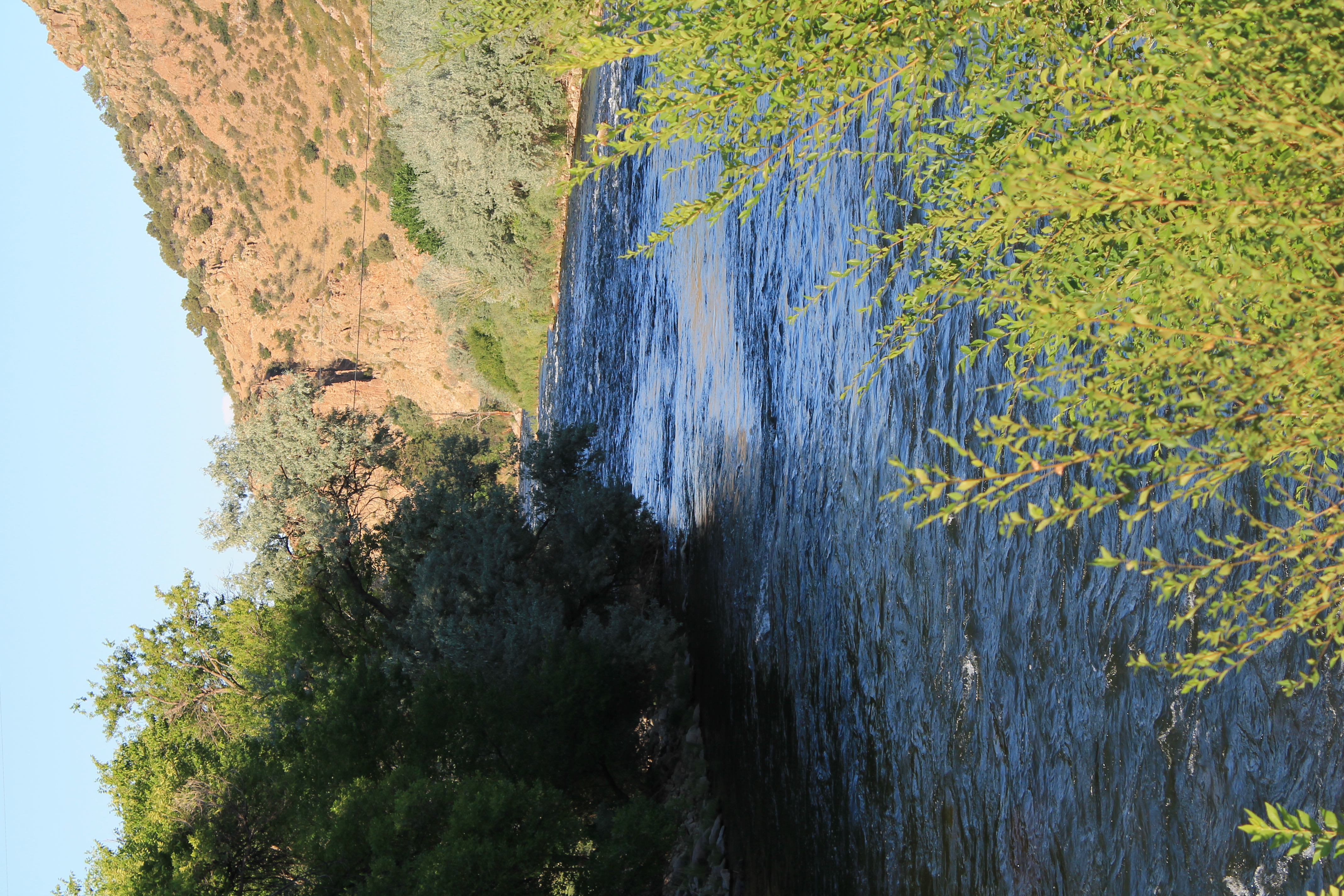
IMG_0404 The Arkansas River 38.000d22.000m15.655s N 105.000d41.000m18.843s W
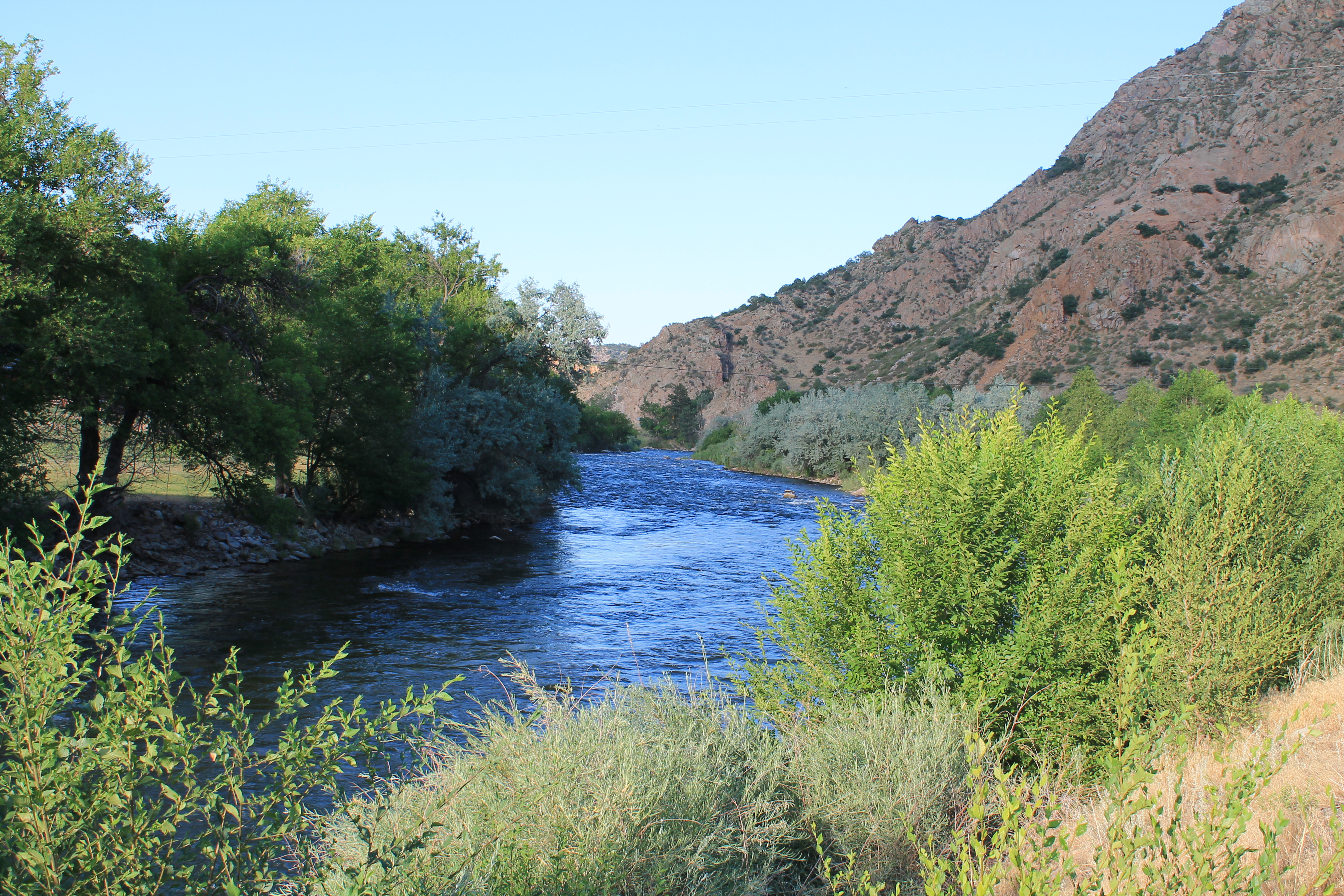
IMG_0403 The Arkansas River near Salida 38.000d22.000m15.655s N 105.000d41.000m18.843s W
41 Shillelagh Pl, Howard, CO, USA Map
Search another place
Near Places
35 Shillelagh Pl, Howard, CO, USA
Shillelagh Place, Shillelagh Pl, Howard, CO, USA
35 Shillelagh Pl, Howard, CO, USA
US-50, Howard, CO, USA
County Road 48, Co Rd 48, Howard, CO, USA
15 Co Rd 4, Howard, CO, USA
Howard, CO, USA
Scenic Ln, Howard, CO, USA
Sand Road, Sand Rd, Colorado, USA
Hamilton Creek Rd, Coaldale, CO, USA
Burned Timber Mountain, Colorado, USA
Aspen Way, Cotopaxi, CO, USA
Coaldale, CO, USA
Basin Dr, Cotopaxi, CO, USA
North Lane, North Ln, Cotopaxi, CO, USA
Itty Bitty Lakes Art Gallery & Campground, US-50, Coaldale, CO, USA
Trail Drive, Trail Dr, Cotopaxi, CO, USA
Burno Mountain Rd, Cotopaxi, CO, USA
Co Rd 7, Salida, CO, USA
Burno Mountain Rd, Cotopaxi, CO, USA
Recent Searches
- Sunrise Sunset Times of Japan, 〒- Toyama, Kubomotomachi, 12−31 APAガーデンコート稲荷
- Sunrise Sunset Times of Jialuohu, Datong Township, Yilan County, Taiwan
- Sunrise Sunset Times of 大下港, Sekizenoge, Imabari, Ehime -, Japan
- Sunrise Sunset Times of Oge port Ferry Terminal, -1 Sekizenōge, Imabari, Ehime -, Japan
- Sunrise Sunset Times of San Telmo, Buenos Aires, Argentina
- Sunrise Sunset Times of Congressional Dr, Stevensville, MD, USA
- Sunrise Sunset Times of Papingo 04, Greece
- Sunrise Sunset Times of Pagonija rock, Kranto 7-oji g. 8"N, Kaunas, Lithuania
- Sunrise Sunset Times of Co Rd 87, Jamestown, CO, USA
- Sunrise Sunset Times of Tenjo, Cundinamarca, Colombia