Sunrise Sunset Times of 2 Rivers Rd, Eastover, SC, USA
Location: United States > South Carolina > Richland County > Eastover >
Timezone:
America/New_York
Current Time:
2025-06-24 17:28:36
Longitude:
-80.617508
Latitude:
33.786006
Sunrise Today:
06:13:28 AM
Sunset Today:
08:37:06 PM
Daylength Today:
14h 23m 38s
Sunrise Tomorrow:
06:13:47 AM
Sunset Tomorrow:
08:37:12 PM
Daylength Tomorrow:
14h 23m 25s
Year Show All Dates
| Date | Sunrise | Sunset | Daylength |
|---|---|---|---|
| 01/01/2025 | 07:27:31 AM | 05:25:39 PM | 9h 58m 8s |
| 01/02/2025 | 07:27:39 AM | 05:26:26 PM | 9h 58m 47s |
| 01/03/2025 | 07:27:46 AM | 05:27:13 PM | 9h 59m 27s |
| 01/04/2025 | 07:27:52 AM | 05:28:02 PM | 10h 0m 10s |
| 01/05/2025 | 07:27:55 AM | 05:28:51 PM | 10h 0m 56s |
| 01/06/2025 | 07:27:56 AM | 05:29:42 PM | 10h 1m 46s |
| 01/07/2025 | 07:27:56 AM | 05:30:33 PM | 10h 2m 37s |
| 01/08/2025 | 07:27:54 AM | 05:31:25 PM | 10h 3m 31s |
| 01/09/2025 | 07:27:49 AM | 05:32:17 PM | 10h 4m 28s |
| 01/10/2025 | 07:27:43 AM | 05:33:11 PM | 10h 5m 28s |
| 01/11/2025 | 07:27:36 AM | 05:34:05 PM | 10h 6m 29s |
| 01/12/2025 | 07:27:26 AM | 05:35:00 PM | 10h 7m 34s |
| 01/13/2025 | 07:27:15 AM | 05:35:55 PM | 10h 8m 40s |
| 01/14/2025 | 07:27:01 AM | 05:36:51 PM | 10h 9m 50s |
| 01/15/2025 | 07:26:46 AM | 05:37:47 PM | 10h 11m 1s |
| 01/16/2025 | 07:26:29 AM | 05:38:44 PM | 10h 12m 15s |
| 01/17/2025 | 07:26:10 AM | 05:39:41 PM | 10h 13m 31s |
| 01/18/2025 | 07:25:50 AM | 05:40:38 PM | 10h 14m 48s |
| 01/19/2025 | 07:25:27 AM | 05:41:36 PM | 10h 16m 9s |
| 01/20/2025 | 07:25:03 AM | 05:42:34 PM | 10h 17m 31s |
| 01/21/2025 | 07:24:37 AM | 05:43:32 PM | 10h 18m 55s |
| 01/22/2025 | 07:24:09 AM | 05:44:31 PM | 10h 20m 22s |
| 01/23/2025 | 07:23:40 AM | 05:45:29 PM | 10h 21m 49s |
| 01/24/2025 | 07:23:09 AM | 05:46:28 PM | 10h 23m 19s |
| 01/25/2025 | 07:22:36 AM | 05:47:27 PM | 10h 24m 51s |
| 01/26/2025 | 07:22:02 AM | 05:48:25 PM | 10h 26m 23s |
| 01/27/2025 | 07:21:26 AM | 05:49:24 PM | 10h 27m 58s |
| 01/28/2025 | 07:20:48 AM | 05:50:23 PM | 10h 29m 35s |
| 01/29/2025 | 07:20:09 AM | 05:51:22 PM | 10h 31m 13s |
| 01/30/2025 | 07:19:28 AM | 05:52:20 PM | 10h 32m 52s |
| 01/31/2025 | 07:18:46 AM | 05:53:19 PM | 10h 34m 33s |
| 02/01/2025 | 07:18:02 AM | 05:54:18 PM | 10h 36m 16s |
| 02/02/2025 | 07:17:17 AM | 05:55:16 PM | 10h 37m 59s |
| 02/03/2025 | 07:16:30 AM | 05:56:14 PM | 10h 39m 44s |
| 02/04/2025 | 07:15:42 AM | 05:57:12 PM | 10h 41m 30s |
| 02/05/2025 | 07:14:52 AM | 05:58:10 PM | 10h 43m 18s |
| 02/06/2025 | 07:14:01 AM | 05:59:07 PM | 10h 45m 6s |
| 02/07/2025 | 07:13:09 AM | 06:00:05 PM | 10h 46m 56s |
| 02/08/2025 | 07:12:15 AM | 06:01:02 PM | 10h 48m 47s |
| 02/09/2025 | 07:11:20 AM | 06:01:59 PM | 10h 50m 39s |
| 02/10/2025 | 07:10:24 AM | 06:02:55 PM | 10h 52m 31s |
| 02/11/2025 | 07:09:27 AM | 06:03:51 PM | 10h 54m 24s |
| 02/12/2025 | 07:08:28 AM | 06:04:47 PM | 10h 56m 19s |
| 02/13/2025 | 07:07:28 AM | 06:05:43 PM | 10h 58m 15s |
| 02/14/2025 | 07:06:27 AM | 06:06:38 PM | 11h 0m 11s |
| 02/15/2025 | 07:05:25 AM | 06:07:33 PM | 11h 2m 8s |
| 02/16/2025 | 07:04:22 AM | 06:08:28 PM | 11h 4m 6s |
| 02/17/2025 | 07:03:18 AM | 06:09:22 PM | 11h 6m 4s |
| 02/18/2025 | 07:02:13 AM | 06:10:16 PM | 11h 8m 3s |
| 02/19/2025 | 07:01:07 AM | 06:11:09 PM | 11h 10m 2s |
| 02/20/2025 | 07:00:00 AM | 06:12:02 PM | 11h 12m 2s |
| 02/21/2025 | 06:58:52 AM | 06:12:55 PM | 11h 14m 3s |
| 02/22/2025 | 06:57:43 AM | 06:13:48 PM | 11h 16m 5s |
| 02/23/2025 | 06:56:33 AM | 06:14:40 PM | 11h 18m 7s |
| 02/24/2025 | 06:55:22 AM | 06:15:32 PM | 11h 20m 10s |
| 02/25/2025 | 06:54:11 AM | 06:16:23 PM | 11h 22m 12s |
| 02/26/2025 | 06:52:59 AM | 06:17:14 PM | 11h 24m 15s |
| 02/27/2025 | 06:51:46 AM | 06:18:05 PM | 11h 26m 19s |
| 02/28/2025 | 06:50:33 AM | 06:18:56 PM | 11h 28m 23s |
| 03/01/2025 | 06:49:18 AM | 06:19:46 PM | 11h 30m 28s |
| 03/02/2025 | 06:48:03 AM | 06:20:36 PM | 11h 32m 33s |
| 03/03/2025 | 06:46:48 AM | 06:21:25 PM | 11h 34m 37s |
| 03/04/2025 | 06:45:32 AM | 06:22:14 PM | 11h 36m 42s |
| 03/05/2025 | 06:44:15 AM | 06:23:03 PM | 11h 38m 48s |
| 03/06/2025 | 06:42:58 AM | 06:23:52 PM | 11h 40m 54s |
| 03/07/2025 | 06:41:40 AM | 06:24:40 PM | 11h 43m 0s |
| 03/08/2025 | 06:40:22 AM | 06:25:28 PM | 11h 45m 6s |
| 03/09/2025 | 07:39:07 AM | 07:26:14 PM | 11h 47m 7s |
| 03/10/2025 | 07:37:48 AM | 07:27:02 PM | 11h 49m 14s |
| 03/11/2025 | 07:36:29 AM | 07:27:49 PM | 11h 51m 20s |
| 03/12/2025 | 07:35:09 AM | 07:28:36 PM | 11h 53m 27s |
| 03/13/2025 | 07:33:50 AM | 07:29:23 PM | 11h 55m 33s |
| 03/14/2025 | 07:32:29 AM | 07:30:10 PM | 11h 57m 41s |
| 03/15/2025 | 07:31:09 AM | 07:30:56 PM | 11h 59m 47s |
| 03/16/2025 | 07:29:48 AM | 07:31:42 PM | 12h 1m 54s |
| 03/17/2025 | 07:28:27 AM | 07:32:28 PM | 12h 4m 1s |
| 03/18/2025 | 07:27:06 AM | 07:33:14 PM | 12h 6m 8s |
| 03/19/2025 | 07:25:45 AM | 07:34:00 PM | 12h 8m 15s |
| 03/20/2025 | 07:24:24 AM | 07:34:46 PM | 12h 10m 22s |
| 03/21/2025 | 07:23:03 AM | 07:35:31 PM | 12h 12m 28s |
| 03/22/2025 | 07:21:41 AM | 07:36:17 PM | 12h 14m 36s |
| 03/23/2025 | 07:20:20 AM | 07:37:02 PM | 12h 16m 42s |
| 03/24/2025 | 07:18:59 AM | 07:37:47 PM | 12h 18m 48s |
| 03/25/2025 | 07:17:37 AM | 07:38:32 PM | 12h 20m 55s |
| 03/26/2025 | 07:16:16 AM | 07:39:17 PM | 12h 23m 1s |
| 03/27/2025 | 07:14:55 AM | 07:40:02 PM | 12h 25m 7s |
| 03/28/2025 | 07:13:34 AM | 07:40:47 PM | 12h 27m 13s |
| 03/29/2025 | 07:12:13 AM | 07:41:32 PM | 12h 29m 19s |
| 03/30/2025 | 07:10:52 AM | 07:42:17 PM | 12h 31m 25s |
| 03/31/2025 | 07:09:32 AM | 07:43:02 PM | 12h 33m 30s |
| 04/01/2025 | 07:08:12 AM | 07:43:47 PM | 12h 35m 35s |
| 04/02/2025 | 07:06:52 AM | 07:44:31 PM | 12h 37m 39s |
| 04/03/2025 | 07:05:32 AM | 07:45:16 PM | 12h 39m 44s |
| 04/04/2025 | 07:04:13 AM | 07:46:01 PM | 12h 41m 48s |
| 04/05/2025 | 07:02:54 AM | 07:46:46 PM | 12h 43m 52s |
| 04/06/2025 | 07:01:35 AM | 07:47:31 PM | 12h 45m 56s |
| 04/07/2025 | 07:00:17 AM | 07:48:16 PM | 12h 47m 59s |
| 04/08/2025 | 06:58:59 AM | 07:49:01 PM | 12h 50m 2s |
| 04/09/2025 | 06:57:42 AM | 07:49:46 PM | 12h 52m 4s |
| 04/10/2025 | 06:56:25 AM | 07:50:31 PM | 12h 54m 6s |
| 04/11/2025 | 06:55:09 AM | 07:51:16 PM | 12h 56m 7s |
| 04/12/2025 | 06:53:53 AM | 07:52:01 PM | 12h 58m 8s |
| 04/13/2025 | 06:52:38 AM | 07:52:46 PM | 13h 0m 8s |
| 04/14/2025 | 06:51:24 AM | 07:53:32 PM | 13h 2m 8s |
| 04/15/2025 | 06:50:10 AM | 07:54:17 PM | 13h 4m 7s |
| 04/16/2025 | 06:48:57 AM | 07:55:03 PM | 13h 6m 6s |
| 04/17/2025 | 06:47:45 AM | 07:55:48 PM | 13h 8m 3s |
| 04/18/2025 | 06:46:33 AM | 07:56:34 PM | 13h 10m 1s |
| 04/19/2025 | 06:45:22 AM | 07:57:20 PM | 13h 11m 58s |
| 04/20/2025 | 06:44:12 AM | 07:58:06 PM | 13h 13m 54s |
| 04/21/2025 | 06:43:02 AM | 07:58:51 PM | 13h 15m 49s |
| 04/22/2025 | 06:41:54 AM | 07:59:37 PM | 13h 17m 43s |
| 04/23/2025 | 06:40:46 AM | 08:00:23 PM | 13h 19m 37s |
| 04/24/2025 | 06:39:39 AM | 08:01:09 PM | 13h 21m 30s |
| 04/25/2025 | 06:38:34 AM | 08:01:56 PM | 13h 23m 22s |
| 04/26/2025 | 06:37:29 AM | 08:02:42 PM | 13h 25m 13s |
| 04/27/2025 | 06:36:25 AM | 08:03:28 PM | 13h 27m 3s |
| 04/28/2025 | 06:35:22 AM | 08:04:14 PM | 13h 28m 52s |
| 04/29/2025 | 06:34:20 AM | 08:05:00 PM | 13h 30m 40s |
| 04/30/2025 | 06:33:19 AM | 08:05:47 PM | 13h 32m 28s |
| 05/01/2025 | 06:32:20 AM | 08:06:33 PM | 13h 34m 13s |
| 05/02/2025 | 06:31:21 AM | 08:07:19 PM | 13h 35m 58s |
| 05/03/2025 | 06:30:23 AM | 08:08:05 PM | 13h 37m 42s |
| 05/04/2025 | 06:29:27 AM | 08:08:52 PM | 13h 39m 25s |
| 05/05/2025 | 06:28:32 AM | 08:09:38 PM | 13h 41m 6s |
| 05/06/2025 | 06:27:38 AM | 08:10:24 PM | 13h 42m 46s |
| 05/07/2025 | 06:26:45 AM | 08:11:10 PM | 13h 44m 25s |
| 05/08/2025 | 06:25:54 AM | 08:11:56 PM | 13h 46m 2s |
| 05/09/2025 | 06:25:04 AM | 08:12:41 PM | 13h 47m 37s |
| 05/10/2025 | 06:24:15 AM | 08:13:27 PM | 13h 49m 12s |
| 05/11/2025 | 06:23:27 AM | 08:14:12 PM | 13h 50m 45s |
| 05/12/2025 | 06:22:41 AM | 08:14:57 PM | 13h 52m 16s |
| 05/13/2025 | 06:21:56 AM | 08:15:42 PM | 13h 53m 46s |
| 05/14/2025 | 06:21:12 AM | 08:16:27 PM | 13h 55m 15s |
| 05/15/2025 | 06:20:30 AM | 08:17:12 PM | 13h 56m 42s |
| 05/16/2025 | 06:19:50 AM | 08:17:56 PM | 13h 58m 6s |
| 05/17/2025 | 06:19:10 AM | 08:18:39 PM | 13h 59m 29s |
| 05/18/2025 | 06:18:33 AM | 08:19:23 PM | 14h 0m 50s |
| 05/19/2025 | 06:17:56 AM | 08:20:06 PM | 14h 2m 10s |
| 05/20/2025 | 06:17:22 AM | 08:20:49 PM | 14h 3m 27s |
| 05/21/2025 | 06:16:48 AM | 08:21:31 PM | 14h 4m 43s |
| 05/22/2025 | 06:16:16 AM | 08:22:13 PM | 14h 5m 57s |
| 05/23/2025 | 06:15:46 AM | 08:22:54 PM | 14h 7m 8s |
| 05/24/2025 | 06:15:17 AM | 08:23:35 PM | 14h 8m 18s |
| 05/25/2025 | 06:14:50 AM | 08:24:15 PM | 14h 9m 25s |
| 05/26/2025 | 06:14:25 AM | 08:24:54 PM | 14h 10m 29s |
| 05/27/2025 | 06:14:01 AM | 08:25:33 PM | 14h 11m 32s |
| 05/28/2025 | 06:13:38 AM | 08:26:11 PM | 14h 12m 33s |
| 05/29/2025 | 06:13:17 AM | 08:26:49 PM | 14h 13m 32s |
| 05/30/2025 | 06:12:58 AM | 08:27:25 PM | 14h 14m 27s |
| 05/31/2025 | 06:12:40 AM | 08:28:01 PM | 14h 15m 21s |
| 06/01/2025 | 06:12:24 AM | 08:28:36 PM | 14h 16m 12s |
| 06/02/2025 | 06:12:10 AM | 08:29:11 PM | 14h 17m 1s |
| 06/03/2025 | 06:11:57 AM | 08:29:44 PM | 14h 17m 47s |
| 06/04/2025 | 06:11:45 AM | 08:30:17 PM | 14h 18m 32s |
| 06/05/2025 | 06:11:36 AM | 08:30:48 PM | 14h 19m 12s |
| 06/06/2025 | 06:11:27 AM | 08:31:19 PM | 14h 19m 52s |
| 06/07/2025 | 06:11:21 AM | 08:31:48 PM | 14h 20m 27s |
| 06/08/2025 | 06:11:16 AM | 08:32:17 PM | 14h 21m 1s |
| 06/09/2025 | 06:11:12 AM | 08:32:44 PM | 14h 21m 32s |
| 06/10/2025 | 06:11:10 AM | 08:33:10 PM | 14h 22m 0s |
| 06/11/2025 | 06:11:10 AM | 08:33:36 PM | 14h 22m 26s |
| 06/12/2025 | 06:11:11 AM | 08:33:59 PM | 14h 22m 48s |
| 06/13/2025 | 06:11:14 AM | 08:34:22 PM | 14h 23m 8s |
| 06/14/2025 | 06:11:18 AM | 08:34:44 PM | 14h 23m 26s |
| 06/15/2025 | 06:11:24 AM | 08:35:04 PM | 14h 23m 40s |
| 06/16/2025 | 06:11:31 AM | 08:35:23 PM | 14h 23m 52s |
| 06/17/2025 | 06:11:39 AM | 08:35:40 PM | 14h 24m 1s |
| 06/18/2025 | 06:11:49 AM | 08:35:56 PM | 14h 24m 7s |
| 06/19/2025 | 06:12:01 AM | 08:36:11 PM | 14h 24m 10s |
| 06/20/2025 | 06:12:14 AM | 08:36:24 PM | 14h 24m 10s |
| 06/21/2025 | 06:12:28 AM | 08:36:36 PM | 14h 24m 8s |
| 06/22/2025 | 06:12:43 AM | 08:36:47 PM | 14h 24m 4s |
| 06/23/2025 | 06:13:00 AM | 08:36:56 PM | 14h 23m 56s |
| 06/24/2025 | 06:13:18 AM | 08:37:03 PM | 14h 23m 45s |
| 06/25/2025 | 06:13:37 AM | 08:37:09 PM | 14h 23m 32s |
| 06/26/2025 | 06:13:58 AM | 08:37:14 PM | 14h 23m 16s |
| 06/27/2025 | 06:14:20 AM | 08:37:17 PM | 14h 22m 57s |
| 06/28/2025 | 06:14:42 AM | 08:37:18 PM | 14h 22m 36s |
| 06/29/2025 | 06:15:06 AM | 08:37:18 PM | 14h 22m 12s |
| 06/30/2025 | 06:15:32 AM | 08:37:16 PM | 14h 21m 44s |
| 07/01/2025 | 06:15:58 AM | 08:37:12 PM | 14h 21m 14s |
| 07/02/2025 | 06:16:25 AM | 08:37:07 PM | 14h 20m 42s |
| 07/03/2025 | 06:16:53 AM | 08:37:01 PM | 14h 20m 8s |
| 07/04/2025 | 06:17:22 AM | 08:36:52 PM | 14h 19m 30s |
| 07/05/2025 | 06:17:52 AM | 08:36:42 PM | 14h 18m 50s |
| 07/06/2025 | 06:18:23 AM | 08:36:31 PM | 14h 18m 8s |
| 07/07/2025 | 06:18:55 AM | 08:36:18 PM | 14h 17m 23s |
| 07/08/2025 | 06:19:28 AM | 08:36:03 PM | 14h 16m 35s |
| 07/09/2025 | 06:20:01 AM | 08:35:46 PM | 14h 15m 45s |
| 07/10/2025 | 06:20:36 AM | 08:35:28 PM | 14h 14m 52s |
| 07/11/2025 | 06:21:10 AM | 08:35:09 PM | 14h 13m 59s |
| 07/12/2025 | 06:21:46 AM | 08:34:47 PM | 14h 13m 1s |
| 07/13/2025 | 06:22:22 AM | 08:34:24 PM | 14h 12m 2s |
| 07/14/2025 | 06:22:59 AM | 08:34:00 PM | 14h 11m 1s |
| 07/15/2025 | 06:23:37 AM | 08:33:34 PM | 14h 9m 57s |
| 07/16/2025 | 06:24:15 AM | 08:33:06 PM | 14h 8m 51s |
| 07/17/2025 | 06:24:53 AM | 08:32:37 PM | 14h 7m 44s |
| 07/18/2025 | 06:25:32 AM | 08:32:06 PM | 14h 6m 34s |
| 07/19/2025 | 06:26:12 AM | 08:31:33 PM | 14h 5m 21s |
| 07/20/2025 | 06:26:52 AM | 08:30:59 PM | 14h 4m 7s |
| 07/21/2025 | 06:27:32 AM | 08:30:24 PM | 14h 2m 52s |
| 07/22/2025 | 06:28:13 AM | 08:29:47 PM | 14h 1m 34s |
| 07/23/2025 | 06:28:54 AM | 08:29:08 PM | 14h 0m 14s |
| 07/24/2025 | 06:29:35 AM | 08:28:28 PM | 13h 58m 53s |
| 07/25/2025 | 06:30:16 AM | 08:27:46 PM | 13h 57m 30s |
| 07/26/2025 | 06:30:58 AM | 08:27:03 PM | 13h 56m 5s |
| 07/27/2025 | 06:31:40 AM | 08:26:19 PM | 13h 54m 39s |
| 07/28/2025 | 06:32:22 AM | 08:25:33 PM | 13h 53m 11s |
| 07/29/2025 | 06:33:05 AM | 08:24:46 PM | 13h 51m 41s |
| 07/30/2025 | 06:33:47 AM | 08:23:57 PM | 13h 50m 10s |
| 07/31/2025 | 06:34:30 AM | 08:23:08 PM | 13h 48m 38s |
| 08/01/2025 | 06:35:13 AM | 08:22:16 PM | 13h 47m 3s |
| 08/02/2025 | 06:35:56 AM | 08:21:24 PM | 13h 45m 28s |
| 08/03/2025 | 06:36:39 AM | 08:20:30 PM | 13h 43m 51s |
| 08/04/2025 | 06:37:22 AM | 08:19:35 PM | 13h 42m 13s |
| 08/05/2025 | 06:38:05 AM | 08:18:39 PM | 13h 40m 34s |
| 08/06/2025 | 06:38:48 AM | 08:17:41 PM | 13h 38m 53s |
| 08/07/2025 | 06:39:31 AM | 08:16:42 PM | 13h 37m 11s |
| 08/08/2025 | 06:40:14 AM | 08:15:43 PM | 13h 35m 29s |
| 08/09/2025 | 06:40:57 AM | 08:14:42 PM | 13h 33m 45s |
| 08/10/2025 | 06:41:40 AM | 08:13:39 PM | 13h 31m 59s |
| 08/11/2025 | 06:42:23 AM | 08:12:36 PM | 13h 30m 13s |
| 08/12/2025 | 06:43:06 AM | 08:11:32 PM | 13h 28m 26s |
| 08/13/2025 | 06:43:49 AM | 08:10:27 PM | 13h 26m 38s |
| 08/14/2025 | 06:44:31 AM | 08:09:21 PM | 13h 24m 50s |
| 08/15/2025 | 06:45:14 AM | 08:08:13 PM | 13h 22m 59s |
| 08/16/2025 | 06:45:57 AM | 08:07:05 PM | 13h 21m 8s |
| 08/17/2025 | 06:46:39 AM | 08:05:56 PM | 13h 19m 17s |
| 08/18/2025 | 06:47:21 AM | 08:04:46 PM | 13h 17m 25s |
| 08/19/2025 | 06:48:04 AM | 08:03:35 PM | 13h 15m 31s |
| 08/20/2025 | 06:48:46 AM | 08:02:24 PM | 13h 13m 38s |
| 08/21/2025 | 06:49:28 AM | 08:01:11 PM | 13h 11m 43s |
| 08/22/2025 | 06:50:10 AM | 07:59:58 PM | 13h 9m 48s |
| 08/23/2025 | 06:50:52 AM | 07:58:44 PM | 13h 7m 52s |
| 08/24/2025 | 06:51:33 AM | 07:57:29 PM | 13h 5m 56s |
| 08/25/2025 | 06:52:15 AM | 07:56:14 PM | 13h 3m 59s |
| 08/26/2025 | 06:52:57 AM | 07:54:58 PM | 13h 2m 1s |
| 08/27/2025 | 06:53:38 AM | 07:53:41 PM | 13h 0m 3s |
| 08/28/2025 | 06:54:19 AM | 07:52:24 PM | 12h 58m 5s |
| 08/29/2025 | 06:55:01 AM | 07:51:06 PM | 12h 56m 5s |
| 08/30/2025 | 06:55:42 AM | 07:49:47 PM | 12h 54m 5s |
| 08/31/2025 | 06:56:23 AM | 07:48:28 PM | 12h 52m 5s |
| 09/01/2025 | 06:57:04 AM | 07:47:09 PM | 12h 50m 5s |
| 09/02/2025 | 06:57:45 AM | 07:45:49 PM | 12h 48m 4s |
| 09/03/2025 | 06:58:25 AM | 07:44:28 PM | 12h 46m 3s |
| 09/04/2025 | 06:59:06 AM | 07:43:07 PM | 12h 44m 1s |
| 09/05/2025 | 06:59:47 AM | 07:41:46 PM | 12h 41m 59s |
| 09/06/2025 | 07:00:27 AM | 07:40:24 PM | 12h 39m 57s |
| 09/07/2025 | 07:01:08 AM | 07:39:02 PM | 12h 37m 54s |
| 09/08/2025 | 07:01:49 AM | 07:37:40 PM | 12h 35m 51s |
| 09/09/2025 | 07:02:29 AM | 07:36:18 PM | 12h 33m 49s |
| 09/10/2025 | 07:03:10 AM | 07:34:55 PM | 12h 31m 45s |
| 09/11/2025 | 07:03:50 AM | 07:33:32 PM | 12h 29m 42s |
| 09/12/2025 | 07:04:31 AM | 07:32:09 PM | 12h 27m 38s |
| 09/13/2025 | 07:05:12 AM | 07:30:45 PM | 12h 25m 33s |
| 09/14/2025 | 07:05:52 AM | 07:29:22 PM | 12h 23m 30s |
| 09/15/2025 | 07:06:33 AM | 07:27:58 PM | 12h 21m 25s |
| 09/16/2025 | 07:07:14 AM | 07:26:34 PM | 12h 19m 20s |
| 09/17/2025 | 07:07:55 AM | 07:25:11 PM | 12h 17m 16s |
| 09/18/2025 | 07:08:36 AM | 07:23:47 PM | 12h 15m 11s |
| 09/19/2025 | 07:09:17 AM | 07:22:23 PM | 12h 13m 6s |
| 09/20/2025 | 07:09:58 AM | 07:21:00 PM | 12h 11m 2s |
| 09/21/2025 | 07:10:39 AM | 07:19:36 PM | 12h 8m 57s |
| 09/22/2025 | 07:11:20 AM | 07:18:12 PM | 12h 6m 52s |
| 09/23/2025 | 07:12:02 AM | 07:16:49 PM | 12h 4m 47s |
| 09/24/2025 | 07:12:44 AM | 07:15:26 PM | 12h 2m 42s |
| 09/25/2025 | 07:13:26 AM | 07:14:02 PM | 12h 0m 36s |
| 09/26/2025 | 07:14:08 AM | 07:12:40 PM | 11h 58m 32s |
| 09/27/2025 | 07:14:50 AM | 07:11:17 PM | 11h 56m 27s |
| 09/28/2025 | 07:15:32 AM | 07:09:54 PM | 11h 54m 22s |
| 09/29/2025 | 07:16:15 AM | 07:08:32 PM | 11h 52m 17s |
| 09/30/2025 | 07:16:58 AM | 07:07:11 PM | 11h 50m 13s |
| 10/01/2025 | 07:17:41 AM | 07:05:49 PM | 11h 48m 8s |
| 10/02/2025 | 07:18:25 AM | 07:04:28 PM | 11h 46m 3s |
| 10/03/2025 | 07:19:08 AM | 07:03:07 PM | 11h 43m 59s |
| 10/04/2025 | 07:19:52 AM | 07:01:47 PM | 11h 41m 55s |
| 10/05/2025 | 07:20:36 AM | 07:00:27 PM | 11h 39m 51s |
| 10/06/2025 | 07:21:21 AM | 06:59:08 PM | 11h 37m 47s |
| 10/07/2025 | 07:22:06 AM | 06:57:49 PM | 11h 35m 43s |
| 10/08/2025 | 07:22:51 AM | 06:56:31 PM | 11h 33m 40s |
| 10/09/2025 | 07:23:36 AM | 06:55:14 PM | 11h 31m 38s |
| 10/10/2025 | 07:24:22 AM | 06:53:57 PM | 11h 29m 35s |
| 10/11/2025 | 07:25:08 AM | 06:52:40 PM | 11h 27m 32s |
| 10/12/2025 | 07:25:55 AM | 06:51:25 PM | 11h 25m 30s |
| 10/13/2025 | 07:26:42 AM | 06:50:10 PM | 11h 23m 28s |
| 10/14/2025 | 07:27:29 AM | 06:48:56 PM | 11h 21m 27s |
| 10/15/2025 | 07:28:16 AM | 06:47:42 PM | 11h 19m 26s |
| 10/16/2025 | 07:29:04 AM | 06:46:30 PM | 11h 17m 26s |
| 10/17/2025 | 07:29:52 AM | 06:45:18 PM | 11h 15m 26s |
| 10/18/2025 | 07:30:41 AM | 06:44:07 PM | 11h 13m 26s |
| 10/19/2025 | 07:31:30 AM | 06:42:57 PM | 11h 11m 27s |
| 10/20/2025 | 07:32:19 AM | 06:41:48 PM | 11h 9m 29s |
| 10/21/2025 | 07:33:09 AM | 06:40:40 PM | 11h 7m 31s |
| 10/22/2025 | 07:33:59 AM | 06:39:33 PM | 11h 5m 34s |
| 10/23/2025 | 07:34:50 AM | 06:38:26 PM | 11h 3m 36s |
| 10/24/2025 | 07:35:41 AM | 06:37:21 PM | 11h 1m 40s |
| 10/25/2025 | 07:36:32 AM | 06:36:17 PM | 10h 59m 45s |
| 10/26/2025 | 07:37:24 AM | 06:35:14 PM | 10h 57m 50s |
| 10/27/2025 | 07:38:16 AM | 06:34:13 PM | 10h 55m 57s |
| 10/28/2025 | 07:39:08 AM | 06:33:12 PM | 10h 54m 4s |
| 10/29/2025 | 07:40:01 AM | 06:32:13 PM | 10h 52m 12s |
| 10/30/2025 | 07:40:54 AM | 06:31:14 PM | 10h 50m 20s |
| 10/31/2025 | 07:41:47 AM | 06:30:18 PM | 10h 48m 31s |
| 11/01/2025 | 07:42:41 AM | 06:29:22 PM | 10h 46m 41s |
| 11/02/2025 | 06:43:37 AM | 05:28:25 PM | 10h 44m 48s |
| 11/03/2025 | 06:44:31 AM | 05:27:33 PM | 10h 43m 2s |
| 11/04/2025 | 06:45:26 AM | 05:26:41 PM | 10h 41m 15s |
| 11/05/2025 | 06:46:20 AM | 05:25:51 PM | 10h 39m 31s |
| 11/06/2025 | 06:47:15 AM | 05:25:02 PM | 10h 37m 47s |
| 11/07/2025 | 06:48:11 AM | 05:24:15 PM | 10h 36m 4s |
| 11/08/2025 | 06:49:06 AM | 05:23:29 PM | 10h 34m 23s |
| 11/09/2025 | 06:50:02 AM | 05:22:45 PM | 10h 32m 43s |
| 11/10/2025 | 06:50:57 AM | 05:22:03 PM | 10h 31m 6s |
| 11/11/2025 | 06:51:53 AM | 05:21:22 PM | 10h 29m 29s |
| 11/12/2025 | 06:52:49 AM | 05:20:42 PM | 10h 27m 53s |
| 11/13/2025 | 06:53:45 AM | 05:20:04 PM | 10h 26m 19s |
| 11/14/2025 | 06:54:41 AM | 05:19:28 PM | 10h 24m 47s |
| 11/15/2025 | 06:55:38 AM | 05:18:54 PM | 10h 23m 16s |
| 11/16/2025 | 06:56:34 AM | 05:18:21 PM | 10h 21m 47s |
| 11/17/2025 | 06:57:30 AM | 05:17:50 PM | 10h 20m 20s |
| 11/18/2025 | 06:58:26 AM | 05:17:20 PM | 10h 18m 54s |
| 11/19/2025 | 06:59:21 AM | 05:16:53 PM | 10h 17m 32s |
| 11/20/2025 | 07:00:17 AM | 05:16:27 PM | 10h 16m 10s |
| 11/21/2025 | 07:01:13 AM | 05:16:03 PM | 10h 14m 50s |
| 11/22/2025 | 07:02:08 AM | 05:15:40 PM | 10h 13m 32s |
| 11/23/2025 | 07:03:03 AM | 05:15:20 PM | 10h 12m 17s |
| 11/24/2025 | 07:03:58 AM | 05:15:01 PM | 10h 11m 3s |
| 11/25/2025 | 07:04:52 AM | 05:14:45 PM | 10h 9m 53s |
| 11/26/2025 | 07:05:46 AM | 05:14:30 PM | 10h 8m 44s |
| 11/27/2025 | 07:06:39 AM | 05:14:17 PM | 10h 7m 38s |
| 11/28/2025 | 07:07:32 AM | 05:14:06 PM | 10h 6m 34s |
| 11/29/2025 | 07:08:25 AM | 05:13:56 PM | 10h 5m 31s |
| 11/30/2025 | 07:09:17 AM | 05:13:49 PM | 10h 4m 32s |
| 12/01/2025 | 07:10:08 AM | 05:13:44 PM | 10h 3m 36s |
| 12/02/2025 | 07:10:59 AM | 05:13:40 PM | 10h 2m 41s |
| 12/03/2025 | 07:11:48 AM | 05:13:38 PM | 10h 1m 50s |
| 12/04/2025 | 07:12:38 AM | 05:13:39 PM | 10h 1m 1s |
| 12/05/2025 | 07:13:26 AM | 05:13:41 PM | 10h 0m 15s |
| 12/06/2025 | 07:14:13 AM | 05:13:45 PM | 9h 59m 32s |
| 12/07/2025 | 07:15:00 AM | 05:13:51 PM | 9h 58m 51s |
| 12/08/2025 | 07:15:46 AM | 05:13:58 PM | 9h 58m 12s |
| 12/09/2025 | 07:16:30 AM | 05:14:08 PM | 9h 57m 38s |
| 12/10/2025 | 07:17:14 AM | 05:14:19 PM | 9h 57m 5s |
| 12/11/2025 | 07:17:56 AM | 05:14:32 PM | 9h 56m 36s |
| 12/12/2025 | 07:18:38 AM | 05:14:48 PM | 9h 56m 10s |
| 12/13/2025 | 07:19:18 AM | 05:15:04 PM | 9h 55m 46s |
| 12/14/2025 | 07:19:57 AM | 05:15:23 PM | 9h 55m 26s |
| 12/15/2025 | 07:20:35 AM | 05:15:43 PM | 9h 55m 8s |
| 12/16/2025 | 07:21:11 AM | 05:16:06 PM | 9h 54m 55s |
| 12/17/2025 | 07:21:46 AM | 05:16:29 PM | 9h 54m 43s |
| 12/18/2025 | 07:22:20 AM | 05:16:55 PM | 9h 54m 35s |
| 12/19/2025 | 07:22:52 AM | 05:17:22 PM | 9h 54m 30s |
| 12/20/2025 | 07:23:23 AM | 05:17:51 PM | 9h 54m 28s |
| 12/21/2025 | 07:23:53 AM | 05:18:21 PM | 9h 54m 28s |
| 12/22/2025 | 07:24:20 AM | 05:18:53 PM | 9h 54m 33s |
| 12/23/2025 | 07:24:47 AM | 05:19:26 PM | 9h 54m 39s |
| 12/24/2025 | 07:25:11 AM | 05:20:01 PM | 9h 54m 50s |
| 12/25/2025 | 07:25:34 AM | 05:20:37 PM | 9h 55m 3s |
| 12/26/2025 | 07:25:56 AM | 05:21:15 PM | 9h 55m 19s |
| 12/27/2025 | 07:26:16 AM | 05:21:54 PM | 9h 55m 38s |
| 12/28/2025 | 07:26:34 AM | 05:22:34 PM | 9h 56m 0s |
| 12/29/2025 | 07:26:50 AM | 05:23:16 PM | 9h 56m 26s |
| 12/30/2025 | 07:27:04 AM | 05:23:59 PM | 9h 56m 55s |
| 12/31/2025 | 07:27:17 AM | 05:24:43 PM | 9h 57m 26s |
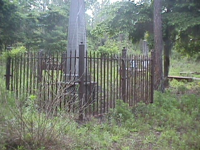
Sunrise & Sunset Photos
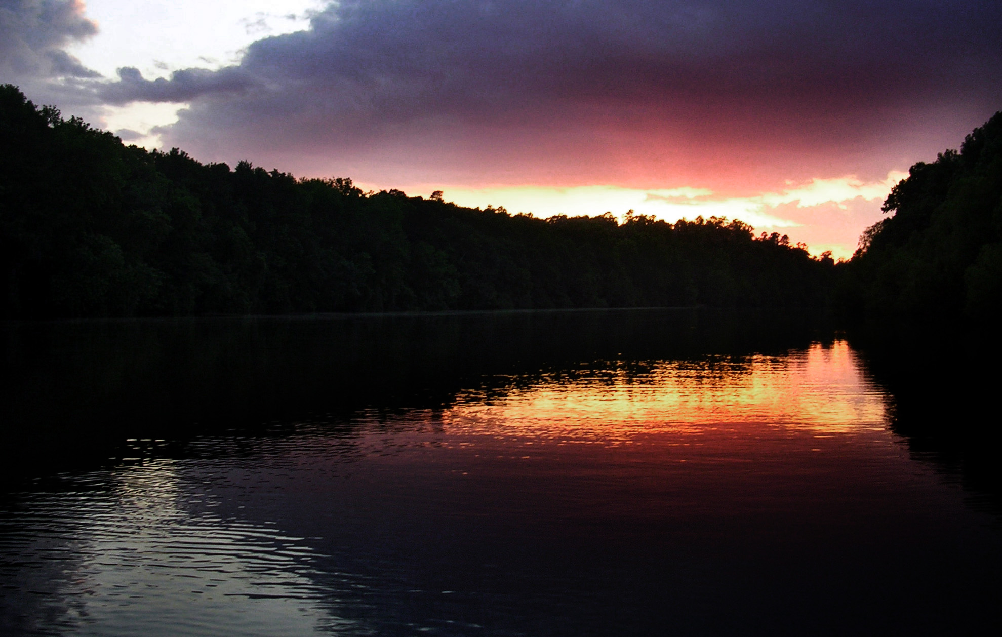
Santee Sunset

Sparkleberry Swamp with LCU-160

SCE&G Wateree Station
TrackHead Studios - South Carolina

Congaree National Park 3
Congaree National Park 2
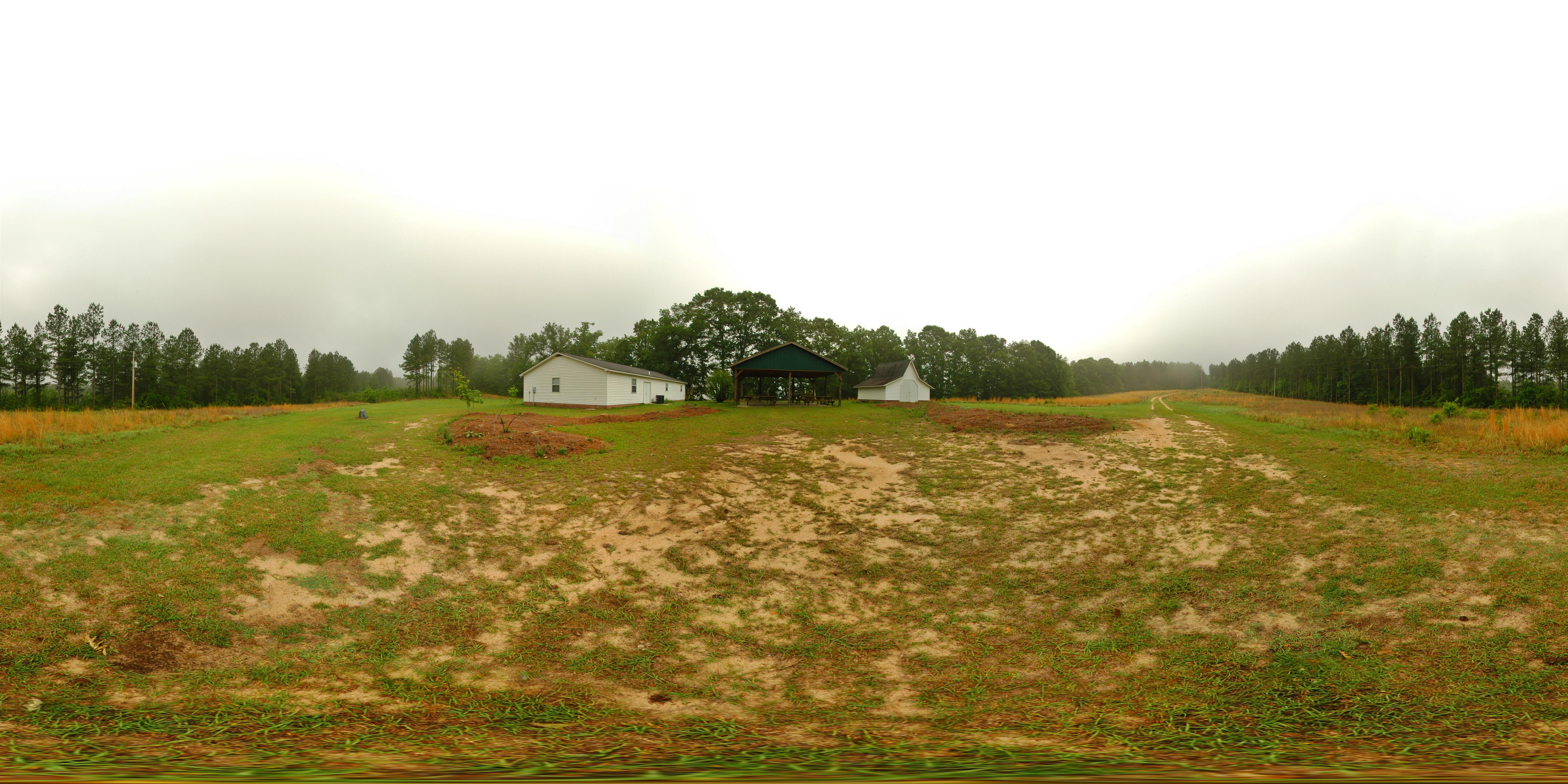
At the education center
MVC-013F.JPG
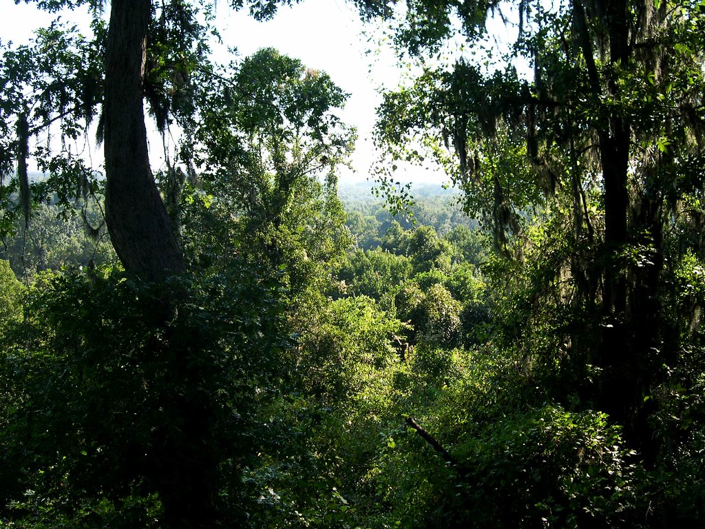
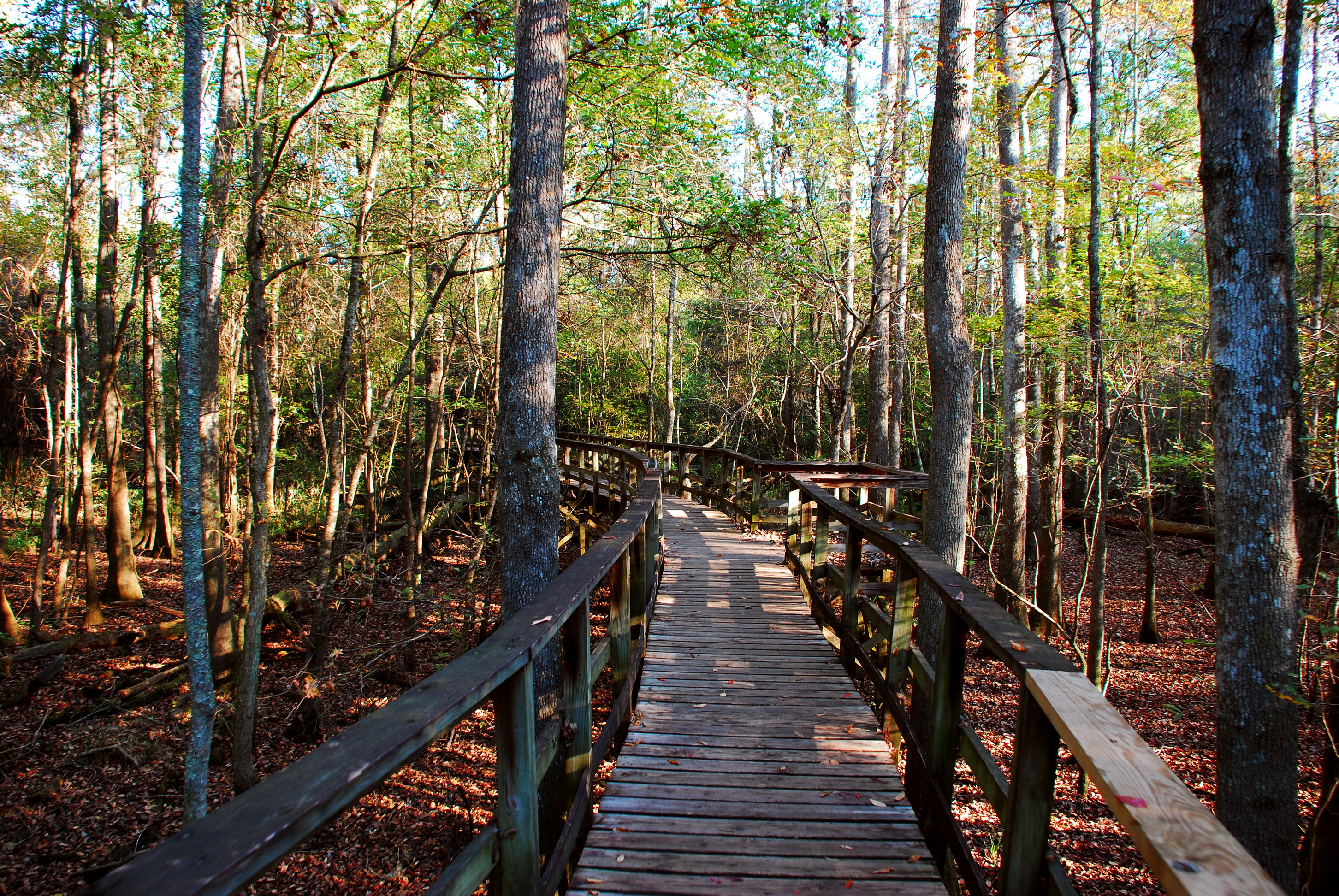
Congaree bluff view

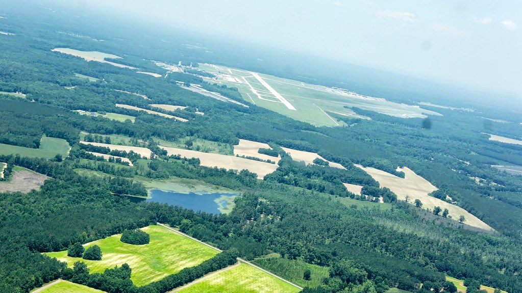
A view of Columbia, from 22 miles away.
2 Rivers Rd, Eastover, SC, USA Map
Search another place
Near Places
Manchester State Forest, South Carolina, USA
Eastover, SC, USA
8 Melrose Dr, Wedgefield, SC, USA
Tillman Nursery Rd, Wedgefield, SC, USA
Wedgewood, SC, USA
Wedgefield, Wedgewood, SC, USA
Claremont Rd, Sumter, SC, USA
Starks Ferry Rd, Sumter, SC, USA
Congaree Rd, Eastover, SC, USA
Stratford Rd, Sumter, SC, USA
Matthews Dr, Sumter, SC, USA
N Kings Hwy, Dalzell, SC, USA
8 Valleybrook Ct, Sumter, SC, USA
R L Coward Rd, Hopkins, SC, USA
Bluff Road, Bluff Rd, South Carolina, USA
Sumter County, SC, USA
Volunteer Ct, Sumter, SC, USA
Rifle Lane, Rifle Ln, South Carolina, USA
Soye Dr, Dalzell, SC, USA
Escallonia Dr, Sumter, SC, USA
Recent Searches
- Sunrise Sunset Times of Red Dog Mine, AK, USA
- Sunrise Sunset Times of Am Bahnhof, Am bhf, Borken, Germany
- Sunrise Sunset Times of 4th St E, Sonoma, CA, USA
- Sunrise Sunset Times of Oakland Ave, Williamsport, PA, USA
- Sunrise Sunset Times of Via Roma, Pieranica CR, Italy
- Sunrise Sunset Times of Clock Tower of Dubrovnik, Grad, Dubrovnik, Croatia
- Sunrise Sunset Times of Trelew, Chubut Province, Argentina
- Sunrise Sunset Times of Hartfords Bluff Cir, Mt Pleasant, SC, USA
- Sunrise Sunset Times of Kita Ward, Kumamoto, Japan
- Sunrise Sunset Times of Pingtan Island, Pingtan County, Fuzhou, China