Sunrise Sunset Times of 2 2 Mi S Aliso Cyn Vic Af, Acton, CA, USA
Location: United States > California > Los Angeles County > Acton >
Timezone:
America/Los_Angeles
Current Time:
2024-05-05 12:01:24
Longitude:
-118.078423
Latitude:
34.395016
Sunrise Today:
05:56:28 AM
Sunset Today:
07:41:16 PM
Daylength Today:
13h 44m 48s
Sunrise Tomorrow:
05:55:34 AM
Sunset Tomorrow:
07:42:03 PM
Daylength Tomorrow:
13h 46m 29s
Year Show All Dates
| Date | Sunrise | Sunset | Daylength |
|---|---|---|---|
| 01/01/2024 | 06:58:48 AM | 04:53:34 PM | 9h 54m 46s |
| 01/02/2024 | 06:58:57 AM | 04:54:21 PM | 9h 55m 24s |
| 01/03/2024 | 06:59:04 AM | 04:55:08 PM | 9h 56m 4s |
| 01/04/2024 | 06:59:10 AM | 04:55:57 PM | 9h 56m 47s |
| 01/05/2024 | 06:59:14 AM | 04:56:46 PM | 9h 57m 32s |
| 01/06/2024 | 06:59:15 AM | 04:57:37 PM | 9h 58m 22s |
| 01/07/2024 | 06:59:15 AM | 04:58:28 PM | 9h 59m 13s |
| 01/08/2024 | 06:59:13 AM | 04:59:20 PM | 10h 0m 7s |
| 01/09/2024 | 06:59:10 AM | 05:00:13 PM | 10h 1m 3s |
| 01/10/2024 | 06:59:04 AM | 05:01:07 PM | 10h 2m 3s |
| 01/11/2024 | 06:58:56 AM | 05:02:02 PM | 10h 3m 6s |
| 01/12/2024 | 06:58:47 AM | 05:02:57 PM | 10h 4m 10s |
| 01/13/2024 | 06:58:35 AM | 05:03:53 PM | 10h 5m 18s |
| 01/14/2024 | 06:58:22 AM | 05:04:49 PM | 10h 6m 27s |
| 01/15/2024 | 06:58:07 AM | 05:05:46 PM | 10h 7m 39s |
| 01/16/2024 | 06:57:50 AM | 05:06:43 PM | 10h 8m 53s |
| 01/17/2024 | 06:57:31 AM | 05:07:41 PM | 10h 10m 10s |
| 01/18/2024 | 06:57:11 AM | 05:08:39 PM | 10h 11m 28s |
| 01/19/2024 | 06:56:48 AM | 05:09:38 PM | 10h 12m 50s |
| 01/20/2024 | 06:56:24 AM | 05:10:37 PM | 10h 14m 13s |
| 01/21/2024 | 06:55:58 AM | 05:11:36 PM | 10h 15m 38s |
| 01/22/2024 | 06:55:30 AM | 05:12:35 PM | 10h 17m 5s |
| 01/23/2024 | 06:55:01 AM | 05:13:35 PM | 10h 18m 34s |
| 01/24/2024 | 06:54:29 AM | 05:14:34 PM | 10h 20m 5s |
| 01/25/2024 | 06:53:57 AM | 05:15:34 PM | 10h 21m 37s |
| 01/26/2024 | 06:53:22 AM | 05:16:34 PM | 10h 23m 12s |
| 01/27/2024 | 06:52:46 AM | 05:17:34 PM | 10h 24m 48s |
| 01/28/2024 | 06:52:08 AM | 05:18:34 PM | 10h 26m 26s |
| 01/29/2024 | 06:51:28 AM | 05:19:34 PM | 10h 28m 6s |
| 01/30/2024 | 06:50:47 AM | 05:20:34 PM | 10h 29m 47s |
| 01/31/2024 | 06:50:04 AM | 05:21:34 PM | 10h 31m 30s |
| 02/01/2024 | 06:49:20 AM | 05:22:34 PM | 10h 33m 14s |
| 02/02/2024 | 06:48:34 AM | 05:23:33 PM | 10h 34m 59s |
| 02/03/2024 | 06:47:47 AM | 05:24:33 PM | 10h 36m 46s |
| 02/04/2024 | 06:46:58 AM | 05:25:32 PM | 10h 38m 34s |
| 02/05/2024 | 06:46:08 AM | 05:26:31 PM | 10h 40m 23s |
| 02/06/2024 | 06:45:16 AM | 05:27:30 PM | 10h 42m 14s |
| 02/07/2024 | 06:44:23 AM | 05:28:29 PM | 10h 44m 6s |
| 02/08/2024 | 06:43:29 AM | 05:29:28 PM | 10h 45m 59s |
| 02/09/2024 | 06:42:33 AM | 05:30:26 PM | 10h 47m 53s |
| 02/10/2024 | 06:41:37 AM | 05:31:24 PM | 10h 49m 47s |
| 02/11/2024 | 06:40:38 AM | 05:32:22 PM | 10h 51m 44s |
| 02/12/2024 | 06:39:39 AM | 05:33:19 PM | 10h 53m 40s |
| 02/13/2024 | 06:38:39 AM | 05:34:16 PM | 10h 55m 37s |
| 02/14/2024 | 06:37:37 AM | 05:35:13 PM | 10h 57m 36s |
| 02/15/2024 | 06:36:34 AM | 05:36:09 PM | 10h 59m 35s |
| 02/16/2024 | 06:35:30 AM | 05:37:06 PM | 11h 1m 36s |
| 02/17/2024 | 06:34:25 AM | 05:38:01 PM | 11h 3m 36s |
| 02/18/2024 | 06:33:19 AM | 05:38:57 PM | 11h 5m 38s |
| 02/19/2024 | 06:32:12 AM | 05:39:52 PM | 11h 7m 40s |
| 02/20/2024 | 06:31:04 AM | 05:40:47 PM | 11h 9m 43s |
| 02/21/2024 | 06:29:55 AM | 05:41:41 PM | 11h 11m 46s |
| 02/22/2024 | 06:28:45 AM | 05:42:35 PM | 11h 13m 50s |
| 02/23/2024 | 06:27:35 AM | 05:43:29 PM | 11h 15m 54s |
| 02/24/2024 | 06:26:23 AM | 05:44:23 PM | 11h 18m 0s |
| 02/25/2024 | 06:25:11 AM | 05:45:16 PM | 11h 20m 5s |
| 02/26/2024 | 06:23:57 AM | 05:46:09 PM | 11h 22m 12s |
| 02/27/2024 | 06:22:44 AM | 05:47:01 PM | 11h 24m 17s |
| 02/28/2024 | 06:21:29 AM | 05:47:53 PM | 11h 26m 24s |
| 02/29/2024 | 06:20:14 AM | 05:48:45 PM | 11h 28m 31s |
| 03/01/2024 | 06:18:58 AM | 05:49:36 PM | 11h 30m 38s |
| 03/02/2024 | 06:17:41 AM | 05:50:27 PM | 11h 32m 46s |
| 03/03/2024 | 06:16:24 AM | 05:51:18 PM | 11h 34m 54s |
| 03/04/2024 | 06:15:06 AM | 05:52:09 PM | 11h 37m 3s |
| 03/05/2024 | 06:13:48 AM | 05:52:59 PM | 11h 39m 11s |
| 03/06/2024 | 06:12:29 AM | 05:53:49 PM | 11h 41m 20s |
| 03/07/2024 | 06:11:09 AM | 05:54:39 PM | 11h 43m 30s |
| 03/08/2024 | 06:09:50 AM | 05:55:28 PM | 11h 45m 38s |
| 03/09/2024 | 06:08:30 AM | 05:56:17 PM | 11h 47m 47s |
| 03/10/2024 | 07:07:12 AM | 06:57:04 PM | 11h 49m 52s |
| 03/11/2024 | 07:05:51 AM | 06:57:53 PM | 11h 52m 2s |
| 03/12/2024 | 07:04:30 AM | 06:58:41 PM | 11h 54m 11s |
| 03/13/2024 | 07:03:09 AM | 06:59:29 PM | 11h 56m 20s |
| 03/14/2024 | 07:01:47 AM | 07:00:17 PM | 11h 58m 30s |
| 03/15/2024 | 07:00:25 AM | 07:01:05 PM | 12h 0m 40s |
| 03/16/2024 | 06:59:03 AM | 07:01:53 PM | 12h 2m 50s |
| 03/17/2024 | 06:57:40 AM | 07:02:40 PM | 12h 5m 0s |
| 03/18/2024 | 06:56:18 AM | 07:03:28 PM | 12h 7m 10s |
| 03/19/2024 | 06:54:55 AM | 07:04:15 PM | 12h 9m 20s |
| 03/20/2024 | 06:53:32 AM | 07:05:02 PM | 12h 11m 30s |
| 03/21/2024 | 06:52:10 AM | 07:05:49 PM | 12h 13m 39s |
| 03/22/2024 | 06:50:47 AM | 07:06:36 PM | 12h 15m 49s |
| 03/23/2024 | 06:49:24 AM | 07:07:22 PM | 12h 17m 58s |
| 03/24/2024 | 06:48:01 AM | 07:08:09 PM | 12h 20m 8s |
| 03/25/2024 | 06:46:38 AM | 07:08:55 PM | 12h 22m 17s |
| 03/26/2024 | 06:45:16 AM | 07:09:42 PM | 12h 24m 26s |
| 03/27/2024 | 06:43:53 AM | 07:10:28 PM | 12h 26m 35s |
| 03/28/2024 | 06:42:31 AM | 07:11:15 PM | 12h 28m 44s |
| 03/29/2024 | 06:41:08 AM | 07:12:01 PM | 12h 30m 53s |
| 03/30/2024 | 06:39:46 AM | 07:12:47 PM | 12h 33m 1s |
| 03/31/2024 | 06:38:25 AM | 07:13:34 PM | 12h 35m 9s |
| 04/01/2024 | 06:37:03 AM | 07:14:20 PM | 12h 37m 17s |
| 04/02/2024 | 06:35:42 AM | 07:15:06 PM | 12h 39m 24s |
| 04/03/2024 | 06:34:21 AM | 07:15:52 PM | 12h 41m 31s |
| 04/04/2024 | 06:33:00 AM | 07:16:39 PM | 12h 43m 39s |
| 04/05/2024 | 06:31:40 AM | 07:17:25 PM | 12h 45m 45s |
| 04/06/2024 | 06:30:20 AM | 07:18:11 PM | 12h 47m 51s |
| 04/07/2024 | 06:29:01 AM | 07:18:58 PM | 12h 49m 57s |
| 04/08/2024 | 06:27:42 AM | 07:19:44 PM | 12h 52m 2s |
| 04/09/2024 | 06:26:23 AM | 07:20:31 PM | 12h 54m 8s |
| 04/10/2024 | 06:25:05 AM | 07:21:17 PM | 12h 56m 12s |
| 04/11/2024 | 06:23:48 AM | 07:22:04 PM | 12h 58m 16s |
| 04/12/2024 | 06:22:31 AM | 07:22:50 PM | 13h 0m 19s |
| 04/13/2024 | 06:21:15 AM | 07:23:37 PM | 13h 2m 22s |
| 04/14/2024 | 06:20:00 AM | 07:24:24 PM | 13h 4m 24s |
| 04/15/2024 | 06:18:45 AM | 07:25:11 PM | 13h 6m 26s |
| 04/16/2024 | 06:17:30 AM | 07:25:58 PM | 13h 8m 28s |
| 04/17/2024 | 06:16:17 AM | 07:26:45 PM | 13h 10m 28s |
| 04/18/2024 | 06:15:04 AM | 07:27:32 PM | 13h 12m 28s |
| 04/19/2024 | 06:13:52 AM | 07:28:19 PM | 13h 14m 27s |
| 04/20/2024 | 06:12:41 AM | 07:29:06 PM | 13h 16m 25s |
| 04/21/2024 | 06:11:31 AM | 07:29:53 PM | 13h 18m 22s |
| 04/22/2024 | 06:10:21 AM | 07:30:41 PM | 13h 20m 20s |
| 04/23/2024 | 06:09:13 AM | 07:31:28 PM | 13h 22m 15s |
| 04/24/2024 | 06:08:05 AM | 07:32:16 PM | 13h 24m 11s |
| 04/25/2024 | 06:06:58 AM | 07:33:03 PM | 13h 26m 5s |
| 04/26/2024 | 06:05:53 AM | 07:33:51 PM | 13h 27m 58s |
| 04/27/2024 | 06:04:48 AM | 07:34:38 PM | 13h 29m 50s |
| 04/28/2024 | 06:03:44 AM | 07:35:26 PM | 13h 31m 42s |
| 04/29/2024 | 06:02:41 AM | 07:36:13 PM | 13h 33m 32s |
| 04/30/2024 | 06:01:40 AM | 07:37:01 PM | 13h 35m 21s |
| 05/01/2024 | 06:00:39 AM | 07:37:48 PM | 13h 37m 9s |
| 05/02/2024 | 05:59:40 AM | 07:38:36 PM | 13h 38m 56s |
| 05/03/2024 | 05:58:42 AM | 07:39:23 PM | 13h 40m 41s |
| 05/04/2024 | 05:57:45 AM | 07:40:11 PM | 13h 42m 26s |
| 05/05/2024 | 05:56:49 AM | 07:40:58 PM | 13h 44m 9s |
| 05/06/2024 | 05:55:54 AM | 07:41:45 PM | 13h 45m 51s |
| 05/07/2024 | 05:55:01 AM | 07:42:32 PM | 13h 47m 31s |
| 05/08/2024 | 05:54:09 AM | 07:43:19 PM | 13h 49m 10s |
| 05/09/2024 | 05:53:18 AM | 07:44:06 PM | 13h 50m 48s |
| 05/10/2024 | 05:52:29 AM | 07:44:53 PM | 13h 52m 24s |
| 05/11/2024 | 05:51:41 AM | 07:45:39 PM | 13h 53m 58s |
| 05/12/2024 | 05:50:54 AM | 07:46:25 PM | 13h 55m 31s |
| 05/13/2024 | 05:50:09 AM | 07:47:11 PM | 13h 57m 2s |
| 05/14/2024 | 05:49:25 AM | 07:47:57 PM | 13h 58m 32s |
| 05/15/2024 | 05:48:42 AM | 07:48:42 PM | 14h 0m 0s |
| 05/16/2024 | 05:48:01 AM | 07:49:27 PM | 14h 1m 26s |
| 05/17/2024 | 05:47:22 AM | 07:50:12 PM | 14h 2m 50s |
| 05/18/2024 | 05:46:44 AM | 07:50:56 PM | 14h 4m 12s |
| 05/19/2024 | 05:46:07 AM | 07:51:40 PM | 14h 5m 33s |
| 05/20/2024 | 05:45:32 AM | 07:52:23 PM | 14h 6m 51s |
| 05/21/2024 | 05:44:59 AM | 07:53:06 PM | 14h 8m 7s |
| 05/22/2024 | 05:44:27 AM | 07:53:49 PM | 14h 9m 22s |
| 05/23/2024 | 05:43:56 AM | 07:54:30 PM | 14h 10m 34s |
| 05/24/2024 | 05:43:27 AM | 07:55:12 PM | 14h 11m 45s |
| 05/25/2024 | 05:43:00 AM | 07:55:52 PM | 14h 12m 52s |
| 05/26/2024 | 05:42:34 AM | 07:56:32 PM | 14h 13m 58s |
| 05/27/2024 | 05:42:10 AM | 07:57:12 PM | 14h 15m 2s |
| 05/28/2024 | 05:41:48 AM | 07:57:50 PM | 14h 16m 2s |
| 05/29/2024 | 05:41:27 AM | 07:58:28 PM | 14h 17m 1s |
| 05/30/2024 | 05:41:08 AM | 07:59:05 PM | 14h 17m 57s |
| 05/31/2024 | 05:40:50 AM | 07:59:41 PM | 14h 18m 51s |
| 06/01/2024 | 05:40:34 AM | 08:00:17 PM | 14h 19m 43s |
| 06/02/2024 | 05:40:20 AM | 08:00:51 PM | 14h 20m 31s |
| 06/03/2024 | 05:40:07 AM | 08:01:25 PM | 14h 21m 18s |
| 06/04/2024 | 05:39:56 AM | 08:01:57 PM | 14h 22m 1s |
| 06/05/2024 | 05:39:46 AM | 08:02:29 PM | 14h 22m 43s |
| 06/06/2024 | 05:39:38 AM | 08:03:00 PM | 14h 23m 22s |
| 06/07/2024 | 05:39:32 AM | 08:03:29 PM | 14h 23m 57s |
| 06/08/2024 | 05:39:27 AM | 08:03:57 PM | 14h 24m 30s |
| 06/09/2024 | 05:39:24 AM | 08:04:25 PM | 14h 25m 1s |
| 06/10/2024 | 05:39:23 AM | 08:04:51 PM | 14h 25m 28s |
| 06/11/2024 | 05:39:23 AM | 08:05:16 PM | 14h 25m 53s |
| 06/12/2024 | 05:39:24 AM | 08:05:39 PM | 14h 26m 15s |
| 06/13/2024 | 05:39:28 AM | 08:06:01 PM | 14h 26m 33s |
| 06/14/2024 | 05:39:32 AM | 08:06:23 PM | 14h 26m 51s |
| 06/15/2024 | 05:39:38 AM | 08:06:42 PM | 14h 27m 4s |
| 06/16/2024 | 05:39:46 AM | 08:07:01 PM | 14h 27m 15s |
| 06/17/2024 | 05:39:55 AM | 08:07:18 PM | 14h 27m 23s |
| 06/18/2024 | 05:40:06 AM | 08:07:33 PM | 14h 27m 27s |
| 06/19/2024 | 05:40:18 AM | 08:07:47 PM | 14h 27m 29s |
| 06/20/2024 | 05:40:31 AM | 08:08:00 PM | 14h 27m 29s |
| 06/21/2024 | 05:40:46 AM | 08:08:11 PM | 14h 27m 25s |
| 06/22/2024 | 05:41:02 AM | 08:08:21 PM | 14h 27m 19s |
| 06/23/2024 | 05:41:20 AM | 08:08:29 PM | 14h 27m 9s |
| 06/24/2024 | 05:41:39 AM | 08:08:36 PM | 14h 26m 57s |
| 06/25/2024 | 05:41:59 AM | 08:08:41 PM | 14h 26m 42s |
| 06/26/2024 | 05:42:20 AM | 08:08:44 PM | 14h 26m 24s |
| 06/27/2024 | 05:42:42 AM | 08:08:46 PM | 14h 26m 4s |
| 06/28/2024 | 05:43:06 AM | 08:08:46 PM | 14h 25m 40s |
| 06/29/2024 | 05:43:31 AM | 08:08:45 PM | 14h 25m 14s |
| 06/30/2024 | 05:43:57 AM | 08:08:42 PM | 14h 24m 45s |
| 07/01/2024 | 05:44:24 AM | 08:08:38 PM | 14h 24m 14s |
| 07/02/2024 | 05:44:52 AM | 08:08:31 PM | 14h 23m 39s |
| 07/03/2024 | 05:45:21 AM | 08:08:23 PM | 14h 23m 2s |
| 07/04/2024 | 05:45:51 AM | 08:08:14 PM | 14h 22m 23s |
| 07/05/2024 | 05:46:22 AM | 08:08:03 PM | 14h 21m 41s |
| 07/06/2024 | 05:46:54 AM | 08:07:50 PM | 14h 20m 56s |
| 07/07/2024 | 05:47:27 AM | 08:07:35 PM | 14h 20m 8s |
| 07/08/2024 | 05:48:01 AM | 08:07:19 PM | 14h 19m 18s |
| 07/09/2024 | 05:48:35 AM | 08:07:01 PM | 14h 18m 26s |
| 07/10/2024 | 05:49:10 AM | 08:06:42 PM | 14h 17m 32s |
| 07/11/2024 | 05:49:46 AM | 08:06:21 PM | 14h 16m 35s |
| 07/12/2024 | 05:50:23 AM | 08:05:58 PM | 14h 15m 35s |
| 07/13/2024 | 05:51:00 AM | 08:05:33 PM | 14h 14m 33s |
| 07/14/2024 | 05:51:38 AM | 08:05:07 PM | 14h 13m 29s |
| 07/15/2024 | 05:52:17 AM | 08:04:40 PM | 14h 12m 23s |
| 07/16/2024 | 05:52:56 AM | 08:04:10 PM | 14h 11m 14s |
| 07/17/2024 | 05:53:36 AM | 08:03:39 PM | 14h 10m 3s |
| 07/18/2024 | 05:54:16 AM | 08:03:07 PM | 14h 8m 51s |
| 07/19/2024 | 05:54:56 AM | 08:02:33 PM | 14h 7m 37s |
| 07/20/2024 | 05:55:37 AM | 08:01:57 PM | 14h 6m 20s |
| 07/21/2024 | 05:56:19 AM | 08:01:20 PM | 14h 5m 1s |
| 07/22/2024 | 05:57:00 AM | 08:00:41 PM | 14h 3m 41s |
| 07/23/2024 | 05:57:43 AM | 08:00:01 PM | 14h 2m 18s |
| 07/24/2024 | 05:58:25 AM | 07:59:19 PM | 14h 0m 54s |
| 07/25/2024 | 05:59:08 AM | 07:58:36 PM | 13h 59m 28s |
| 07/26/2024 | 05:59:51 AM | 07:57:51 PM | 13h 58m 0s |
| 07/27/2024 | 06:00:34 AM | 07:57:05 PM | 13h 56m 31s |
| 07/28/2024 | 06:01:17 AM | 07:56:17 PM | 13h 55m 0s |
| 07/29/2024 | 06:02:01 AM | 07:55:28 PM | 13h 53m 27s |
| 07/30/2024 | 06:02:45 AM | 07:54:38 PM | 13h 51m 53s |
| 07/31/2024 | 06:03:29 AM | 07:53:46 PM | 13h 50m 17s |
| 08/01/2024 | 06:04:13 AM | 07:52:53 PM | 13h 48m 40s |
| 08/02/2024 | 06:04:57 AM | 07:51:59 PM | 13h 47m 2s |
| 08/03/2024 | 06:05:41 AM | 07:51:03 PM | 13h 45m 22s |
| 08/04/2024 | 06:06:25 AM | 07:50:07 PM | 13h 43m 42s |
| 08/05/2024 | 06:07:09 AM | 07:49:08 PM | 13h 41m 59s |
| 08/06/2024 | 06:07:54 AM | 07:48:09 PM | 13h 40m 15s |
| 08/07/2024 | 06:08:38 AM | 07:47:09 PM | 13h 38m 31s |
| 08/08/2024 | 06:09:22 AM | 07:46:07 PM | 13h 36m 45s |
| 08/09/2024 | 06:10:06 AM | 07:45:04 PM | 13h 34m 58s |
| 08/10/2024 | 06:10:51 AM | 07:44:00 PM | 13h 33m 9s |
| 08/11/2024 | 06:11:35 AM | 07:42:56 PM | 13h 31m 21s |
| 08/12/2024 | 06:12:19 AM | 07:41:50 PM | 13h 29m 31s |
| 08/13/2024 | 06:13:03 AM | 07:40:43 PM | 13h 27m 40s |
| 08/14/2024 | 06:13:47 AM | 07:39:35 PM | 13h 25m 48s |
| 08/15/2024 | 06:14:31 AM | 07:38:26 PM | 13h 23m 55s |
| 08/16/2024 | 06:15:15 AM | 07:37:16 PM | 13h 22m 1s |
| 08/17/2024 | 06:15:59 AM | 07:36:05 PM | 13h 20m 6s |
| 08/18/2024 | 06:16:42 AM | 07:34:53 PM | 13h 18m 11s |
| 08/19/2024 | 06:17:26 AM | 07:33:41 PM | 13h 16m 15s |
| 08/20/2024 | 06:18:09 AM | 07:32:27 PM | 13h 14m 18s |
| 08/21/2024 | 06:18:53 AM | 07:31:13 PM | 13h 12m 20s |
| 08/22/2024 | 06:19:36 AM | 07:29:58 PM | 13h 10m 22s |
| 08/23/2024 | 06:20:19 AM | 07:28:42 PM | 13h 8m 23s |
| 08/24/2024 | 06:21:02 AM | 07:27:26 PM | 13h 6m 24s |
| 08/25/2024 | 06:21:45 AM | 07:26:09 PM | 13h 4m 24s |
| 08/26/2024 | 06:22:28 AM | 07:24:51 PM | 13h 2m 23s |
| 08/27/2024 | 06:23:11 AM | 07:23:32 PM | 13h 0m 21s |
| 08/28/2024 | 06:23:53 AM | 07:22:13 PM | 12h 58m 20s |
| 08/29/2024 | 06:24:36 AM | 07:20:54 PM | 12h 56m 18s |
| 08/30/2024 | 06:25:18 AM | 07:19:34 PM | 12h 54m 16s |
| 08/31/2024 | 06:26:01 AM | 07:18:13 PM | 12h 52m 12s |
| 09/01/2024 | 06:26:43 AM | 07:16:52 PM | 12h 50m 9s |
| 09/02/2024 | 06:27:25 AM | 07:15:30 PM | 12h 48m 5s |
| 09/03/2024 | 06:28:08 AM | 07:14:08 PM | 12h 46m 0s |
| 09/04/2024 | 06:28:50 AM | 07:12:46 PM | 12h 43m 56s |
| 09/05/2024 | 06:29:32 AM | 07:11:23 PM | 12h 41m 51s |
| 09/06/2024 | 06:30:14 AM | 07:10:00 PM | 12h 39m 46s |
| 09/07/2024 | 06:30:56 AM | 07:08:36 PM | 12h 37m 40s |
| 09/08/2024 | 06:31:38 AM | 07:07:12 PM | 12h 35m 34s |
| 09/09/2024 | 06:32:20 AM | 07:05:48 PM | 12h 33m 28s |
| 09/10/2024 | 06:33:02 AM | 07:04:24 PM | 12h 31m 22s |
| 09/11/2024 | 06:33:44 AM | 07:02:59 PM | 12h 29m 15s |
| 09/12/2024 | 06:34:26 AM | 07:01:35 PM | 12h 27m 9s |
| 09/13/2024 | 06:35:08 AM | 07:00:10 PM | 12h 25m 2s |
| 09/14/2024 | 06:35:50 AM | 06:58:45 PM | 12h 22m 55s |
| 09/15/2024 | 06:36:33 AM | 06:57:20 PM | 12h 20m 47s |
| 09/16/2024 | 06:37:15 AM | 06:55:54 PM | 12h 18m 39s |
| 09/17/2024 | 06:37:57 AM | 06:54:29 PM | 12h 16m 32s |
| 09/18/2024 | 06:38:40 AM | 06:53:04 PM | 12h 14m 24s |
| 09/19/2024 | 06:39:22 AM | 06:51:39 PM | 12h 12m 17s |
| 09/20/2024 | 06:40:05 AM | 06:50:14 PM | 12h 10m 9s |
| 09/21/2024 | 06:40:48 AM | 06:48:49 PM | 12h 8m 1s |
| 09/22/2024 | 06:41:30 AM | 06:47:24 PM | 12h 5m 54s |
| 09/23/2024 | 06:42:14 AM | 06:45:59 PM | 12h 3m 45s |
| 09/24/2024 | 06:42:57 AM | 06:44:34 PM | 12h 1m 37s |
| 09/25/2024 | 06:43:40 AM | 06:43:10 PM | 11h 59m 30s |
| 09/26/2024 | 06:44:24 AM | 06:41:46 PM | 11h 57m 22s |
| 09/27/2024 | 06:45:08 AM | 06:40:22 PM | 11h 55m 14s |
| 09/28/2024 | 06:45:52 AM | 06:38:58 PM | 11h 53m 6s |
| 09/29/2024 | 06:46:36 AM | 06:37:34 PM | 11h 50m 58s |
| 09/30/2024 | 06:47:20 AM | 06:36:11 PM | 11h 48m 51s |
| 10/01/2024 | 06:48:05 AM | 06:34:49 PM | 11h 46m 44s |
| 10/02/2024 | 06:48:50 AM | 06:33:26 PM | 11h 44m 36s |
| 10/03/2024 | 06:49:35 AM | 06:32:04 PM | 11h 42m 29s |
| 10/04/2024 | 06:50:21 AM | 06:30:43 PM | 11h 40m 22s |
| 10/05/2024 | 06:51:07 AM | 06:29:22 PM | 11h 38m 15s |
| 10/06/2024 | 06:51:53 AM | 06:28:02 PM | 11h 36m 9s |
| 10/07/2024 | 06:52:39 AM | 06:26:42 PM | 11h 34m 3s |
| 10/08/2024 | 06:53:26 AM | 06:25:22 PM | 11h 31m 56s |
| 10/09/2024 | 06:54:13 AM | 06:24:04 PM | 11h 29m 51s |
| 10/10/2024 | 06:55:00 AM | 06:22:45 PM | 11h 27m 45s |
| 10/11/2024 | 06:55:48 AM | 06:21:28 PM | 11h 25m 40s |
| 10/12/2024 | 06:56:36 AM | 06:20:11 PM | 11h 23m 35s |
| 10/13/2024 | 06:57:24 AM | 06:18:55 PM | 11h 21m 31s |
| 10/14/2024 | 06:58:13 AM | 06:17:40 PM | 11h 19m 27s |
| 10/15/2024 | 06:59:02 AM | 06:16:26 PM | 11h 17m 24s |
| 10/16/2024 | 06:59:52 AM | 06:15:12 PM | 11h 15m 20s |
| 10/17/2024 | 07:00:42 AM | 06:13:59 PM | 11h 13m 17s |
| 10/18/2024 | 07:01:32 AM | 06:12:47 PM | 11h 11m 15s |
| 10/19/2024 | 07:02:23 AM | 06:11:36 PM | 11h 9m 13s |
| 10/20/2024 | 07:03:13 AM | 06:10:26 PM | 11h 7m 13s |
| 10/21/2024 | 07:04:05 AM | 06:09:17 PM | 11h 5m 12s |
| 10/22/2024 | 07:04:57 AM | 06:08:09 PM | 11h 3m 12s |
| 10/23/2024 | 07:05:49 AM | 06:07:02 PM | 11h 1m 13s |
| 10/24/2024 | 07:06:41 AM | 06:05:56 PM | 10h 59m 15s |
| 10/25/2024 | 07:07:34 AM | 06:04:51 PM | 10h 57m 17s |
| 10/26/2024 | 07:08:27 AM | 06:03:48 PM | 10h 55m 21s |
| 10/27/2024 | 07:09:21 AM | 06:02:45 PM | 10h 53m 24s |
| 10/28/2024 | 07:10:14 AM | 06:01:44 PM | 10h 51m 30s |
| 10/29/2024 | 07:11:09 AM | 06:00:44 PM | 10h 49m 35s |
| 10/30/2024 | 07:12:03 AM | 05:59:45 PM | 10h 47m 42s |
| 10/31/2024 | 07:12:58 AM | 05:58:47 PM | 10h 45m 49s |
| 11/01/2024 | 07:13:53 AM | 05:57:51 PM | 10h 43m 58s |
| 11/02/2024 | 07:14:48 AM | 05:56:56 PM | 10h 42m 8s |
| 11/03/2024 | 06:15:46 AM | 04:56:00 PM | 10h 40m 14s |
| 11/04/2024 | 06:16:42 AM | 04:55:08 PM | 10h 38m 26s |
| 11/05/2024 | 06:17:38 AM | 04:54:17 PM | 10h 36m 39s |
| 11/06/2024 | 06:18:35 AM | 04:53:28 PM | 10h 34m 53s |
| 11/07/2024 | 06:19:31 AM | 04:52:40 PM | 10h 33m 9s |
| 11/08/2024 | 06:20:28 AM | 04:51:54 PM | 10h 31m 26s |
| 11/09/2024 | 06:21:25 AM | 04:51:09 PM | 10h 29m 44s |
| 11/10/2024 | 06:22:22 AM | 04:50:26 PM | 10h 28m 4s |
| 11/11/2024 | 06:23:19 AM | 04:49:45 PM | 10h 26m 26s |
| 11/12/2024 | 06:24:16 AM | 04:49:05 PM | 10h 24m 49s |
| 11/13/2024 | 06:25:13 AM | 04:48:27 PM | 10h 23m 14s |
| 11/14/2024 | 06:26:11 AM | 04:47:50 PM | 10h 21m 39s |
| 11/15/2024 | 06:27:08 AM | 04:47:15 PM | 10h 20m 7s |
| 11/16/2024 | 06:28:05 AM | 04:46:42 PM | 10h 18m 37s |
| 11/17/2024 | 06:29:02 AM | 04:46:11 PM | 10h 17m 9s |
| 11/18/2024 | 06:29:59 AM | 04:45:41 PM | 10h 15m 42s |
| 11/19/2024 | 06:30:56 AM | 04:45:14 PM | 10h 14m 18s |
| 11/20/2024 | 06:31:52 AM | 04:44:48 PM | 10h 12m 56s |
| 11/21/2024 | 06:32:49 AM | 04:44:23 PM | 10h 11m 34s |
| 11/22/2024 | 06:33:45 AM | 04:44:01 PM | 10h 10m 16s |
| 11/23/2024 | 06:34:40 AM | 04:43:41 PM | 10h 9m 1s |
| 11/24/2024 | 06:35:36 AM | 04:43:22 PM | 10h 7m 46s |
| 11/25/2024 | 06:36:31 AM | 04:43:05 PM | 10h 6m 34s |
| 11/26/2024 | 06:37:25 AM | 04:42:50 PM | 10h 5m 25s |
| 11/27/2024 | 06:38:20 AM | 04:42:38 PM | 10h 4m 18s |
| 11/28/2024 | 06:39:13 AM | 04:42:27 PM | 10h 3m 14s |
| 11/29/2024 | 06:40:06 AM | 04:42:17 PM | 10h 2m 11s |
| 11/30/2024 | 06:40:58 AM | 04:42:10 PM | 10h 1m 12s |
| 12/01/2024 | 06:41:50 AM | 04:42:05 PM | 10h 0m 15s |
| 12/02/2024 | 06:42:41 AM | 04:42:02 PM | 9h 59m 21s |
| 12/03/2024 | 06:43:31 AM | 04:42:00 PM | 9h 58m 29s |
| 12/04/2024 | 06:44:21 AM | 04:42:01 PM | 9h 57m 40s |
| 12/05/2024 | 06:45:09 AM | 04:42:03 PM | 9h 56m 54s |
| 12/06/2024 | 06:45:57 AM | 04:42:07 PM | 9h 56m 10s |
| 12/07/2024 | 06:46:43 AM | 04:42:14 PM | 9h 55m 31s |
| 12/08/2024 | 06:47:29 AM | 04:42:22 PM | 9h 54m 53s |
| 12/09/2024 | 06:48:14 AM | 04:42:32 PM | 9h 54m 18s |
| 12/10/2024 | 06:48:57 AM | 04:42:44 PM | 9h 53m 47s |
| 12/11/2024 | 06:49:39 AM | 04:42:58 PM | 9h 53m 19s |
| 12/12/2024 | 06:50:21 AM | 04:43:13 PM | 9h 52m 52s |
| 12/13/2024 | 06:51:01 AM | 04:43:31 PM | 9h 52m 30s |
| 12/14/2024 | 06:51:39 AM | 04:43:50 PM | 9h 52m 11s |
| 12/15/2024 | 06:52:17 AM | 04:44:11 PM | 9h 51m 54s |
| 12/16/2024 | 06:52:53 AM | 04:44:34 PM | 9h 51m 41s |
| 12/17/2024 | 06:53:27 AM | 04:44:58 PM | 9h 51m 31s |
| 12/18/2024 | 06:54:00 AM | 04:45:24 PM | 9h 51m 24s |
| 12/19/2024 | 06:54:32 AM | 04:45:52 PM | 9h 51m 20s |
| 12/20/2024 | 06:55:02 AM | 04:46:21 PM | 9h 51m 19s |
| 12/21/2024 | 06:55:31 AM | 04:46:53 PM | 9h 51m 22s |
| 12/22/2024 | 06:55:58 AM | 04:47:25 PM | 9h 51m 27s |
| 12/23/2024 | 06:56:23 AM | 04:47:59 PM | 9h 51m 36s |
| 12/24/2024 | 06:56:47 AM | 04:48:35 PM | 9h 51m 48s |
| 12/25/2024 | 06:57:09 AM | 04:49:12 PM | 9h 52m 3s |
| 12/26/2024 | 06:57:29 AM | 04:49:51 PM | 9h 52m 22s |
| 12/27/2024 | 06:57:48 AM | 04:50:31 PM | 9h 52m 43s |
| 12/28/2024 | 06:58:05 AM | 04:51:12 PM | 9h 53m 7s |
| 12/29/2024 | 06:58:20 AM | 04:51:54 PM | 9h 53m 34s |
| 12/30/2024 | 06:58:33 AM | 04:52:38 PM | 9h 54m 5s |
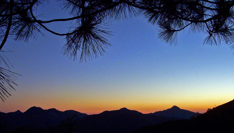
Sunrise & Sunset Photos

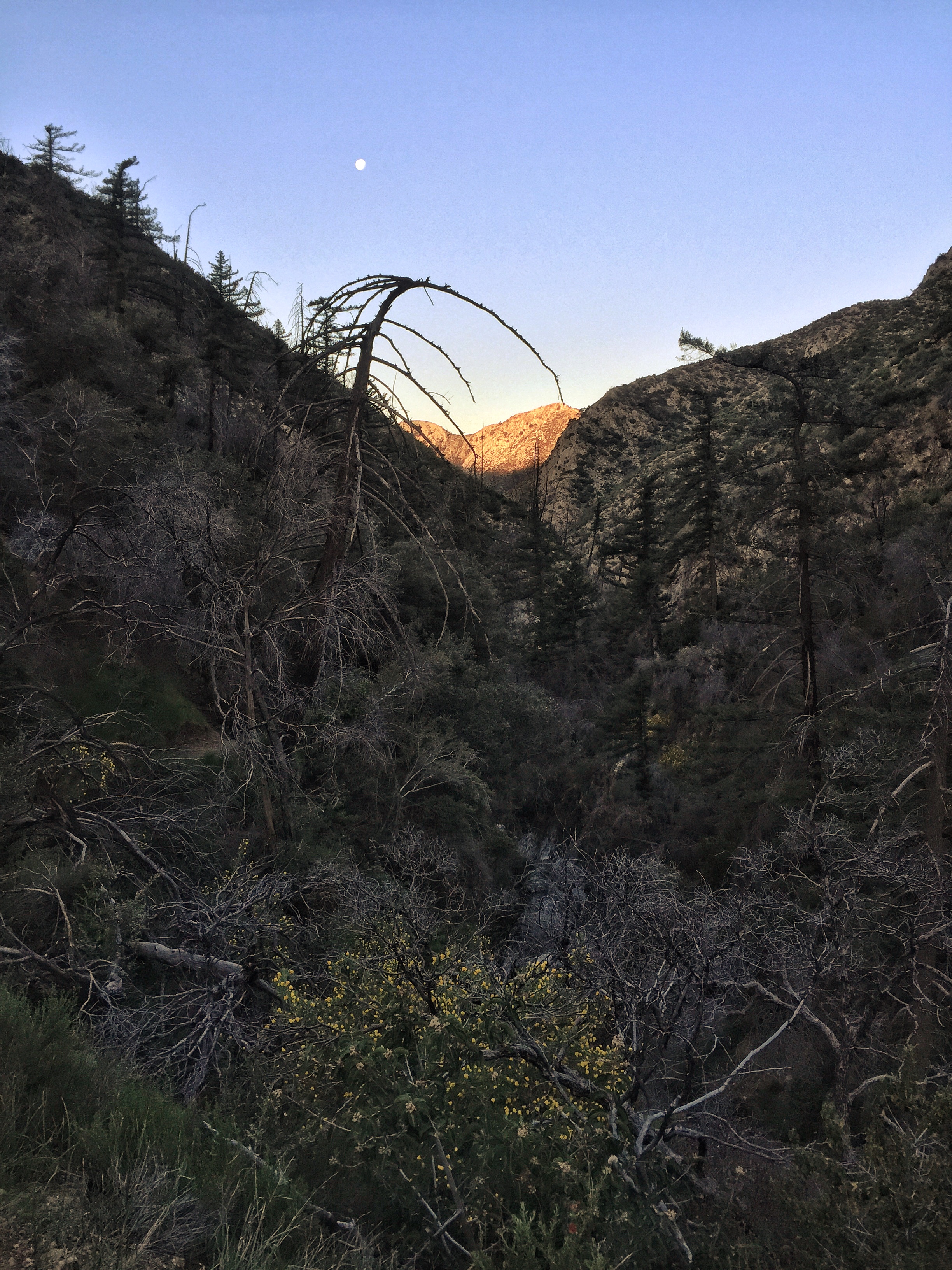
The moment had arrived
Sunset from Vetter Mountain Fire Lookout, Angeles National Forest
San Gabriel's Vista from Mount Mooney [Explored]
Bespin Landscape
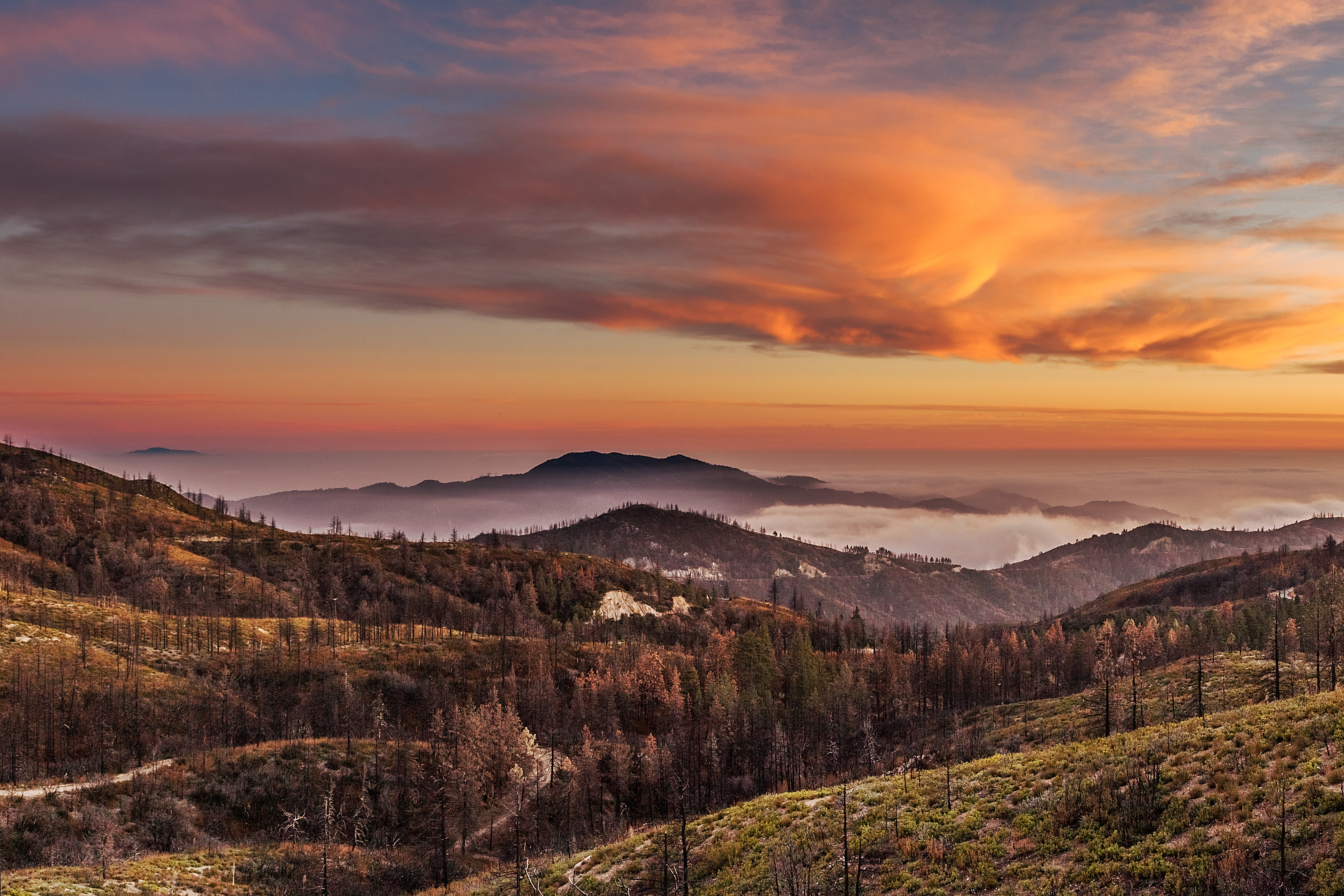
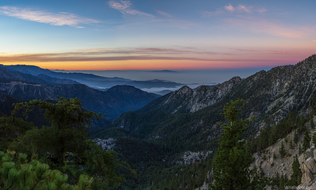
Sunset over Big Tujunga Canyon, from Chilao-Manzanita Campground
Charlton Flat at Dusk, Angeles National Forest
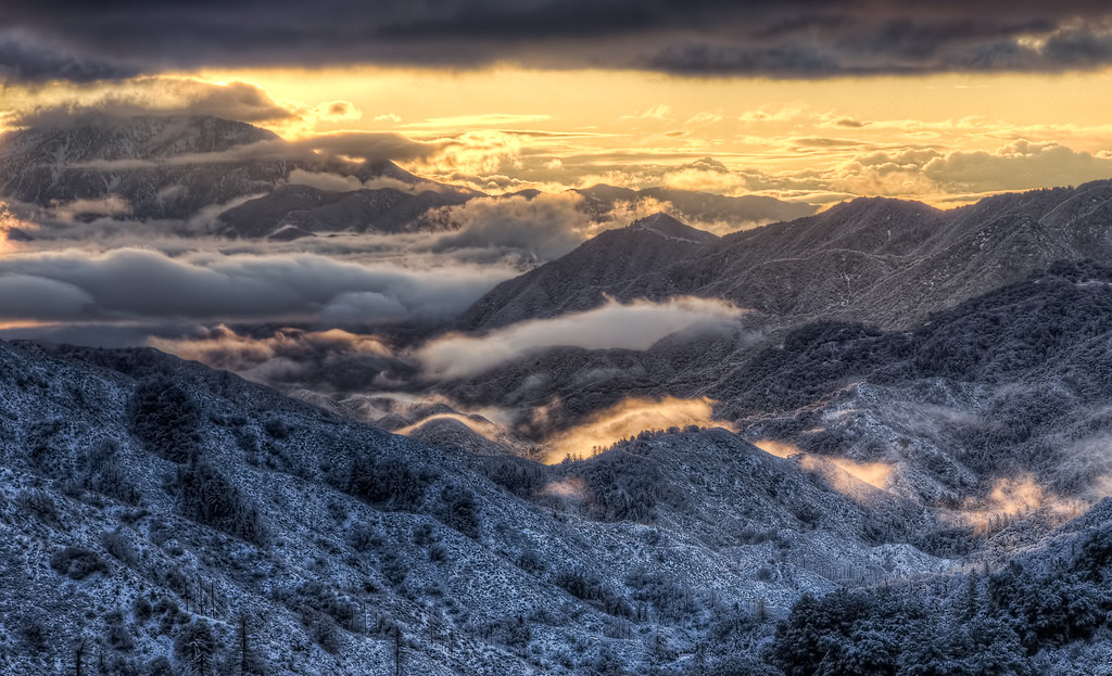
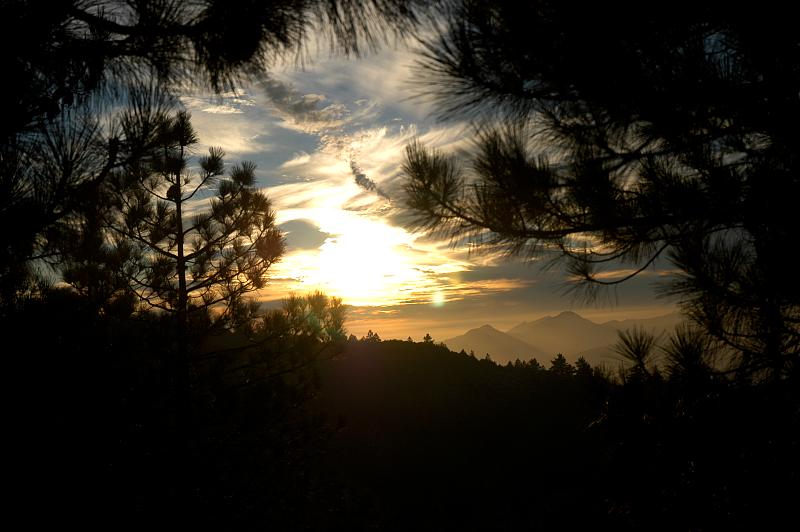
Clouds and Snow - A Typical LA Sunrise

Marching Ladies
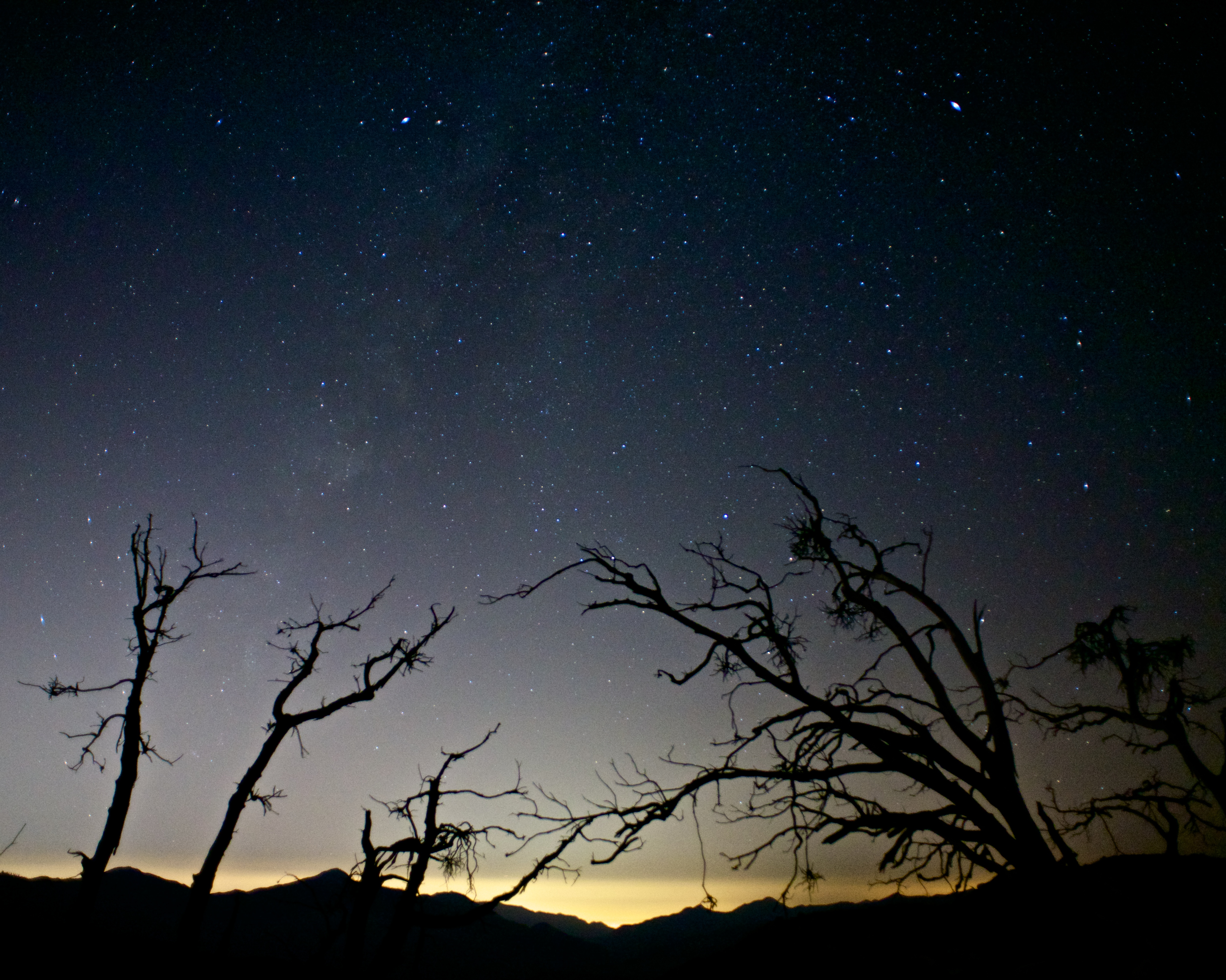
Night sky.

Sunset Mountain
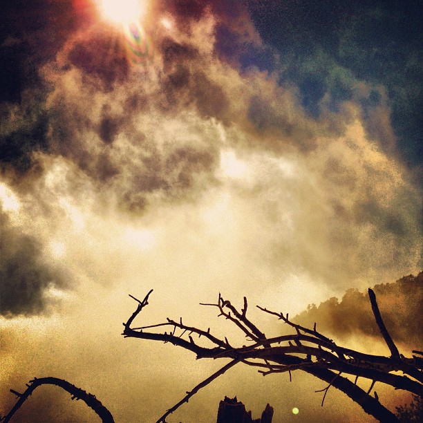
"Just A #Dream" #angeles #clouds #forest #sun

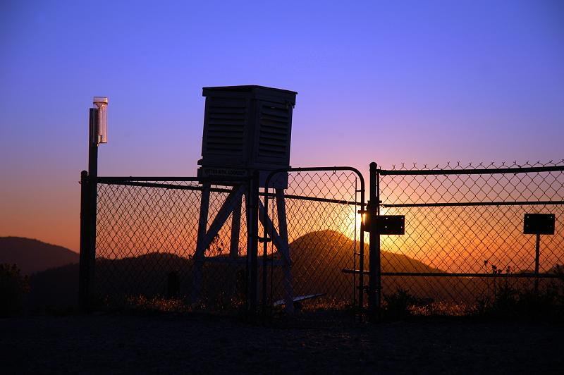
Purple sunset at the Vetter Mountain weather station in the Angeles National Forest
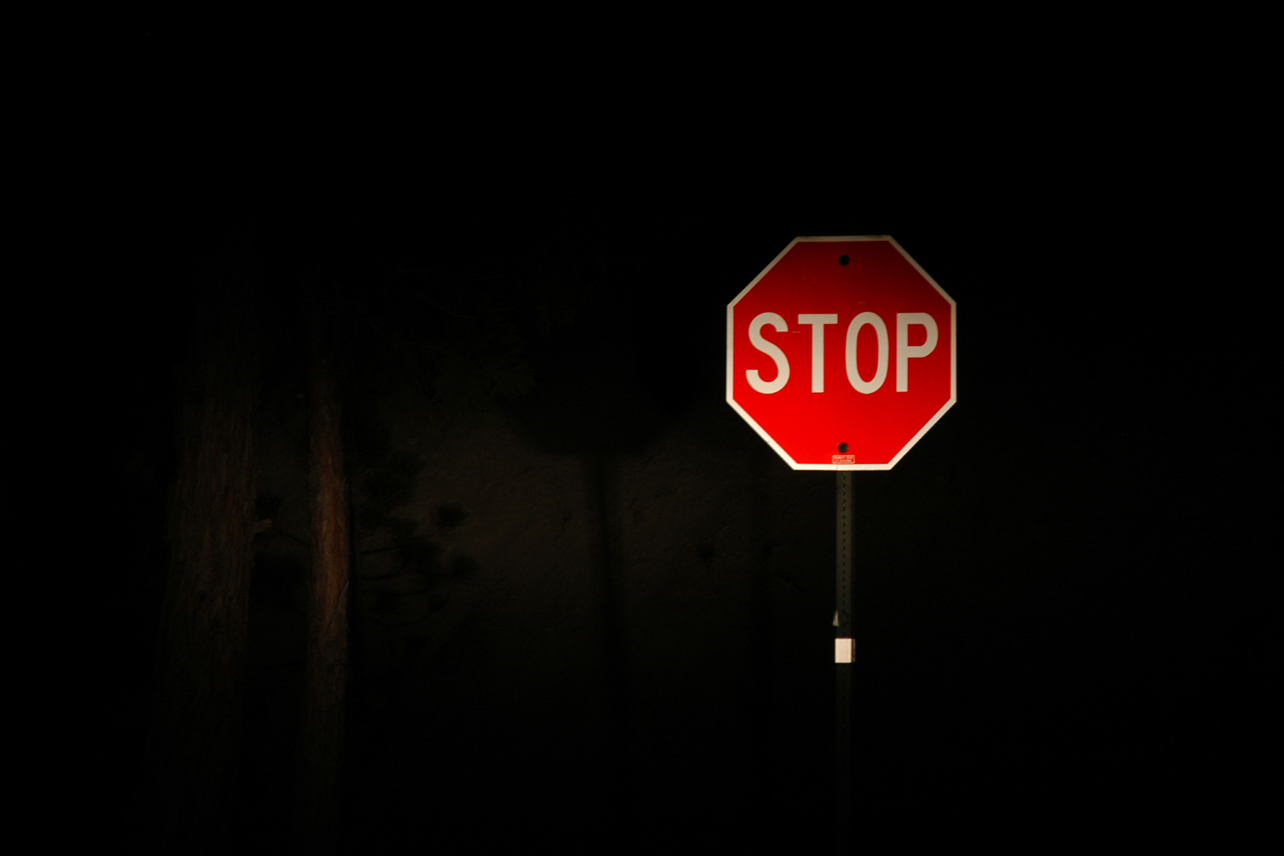
A stop sign, and not much else, Angeles Crest Highway in the Angeles National Forest
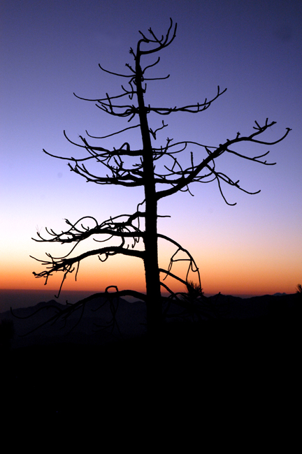
Dead tree silhouette on the Angeles Crest Highway; in the Angeles National Forest near Three Points
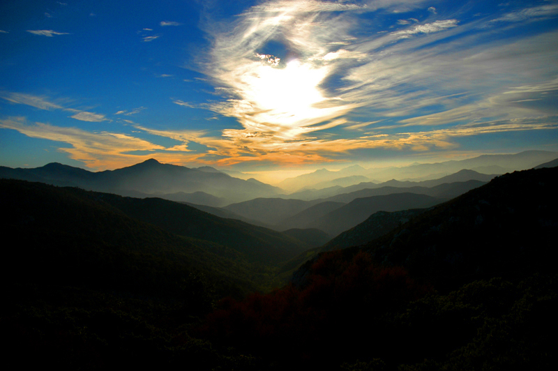
Lobster cloud over Big Tujunga Canyon, from Chilao
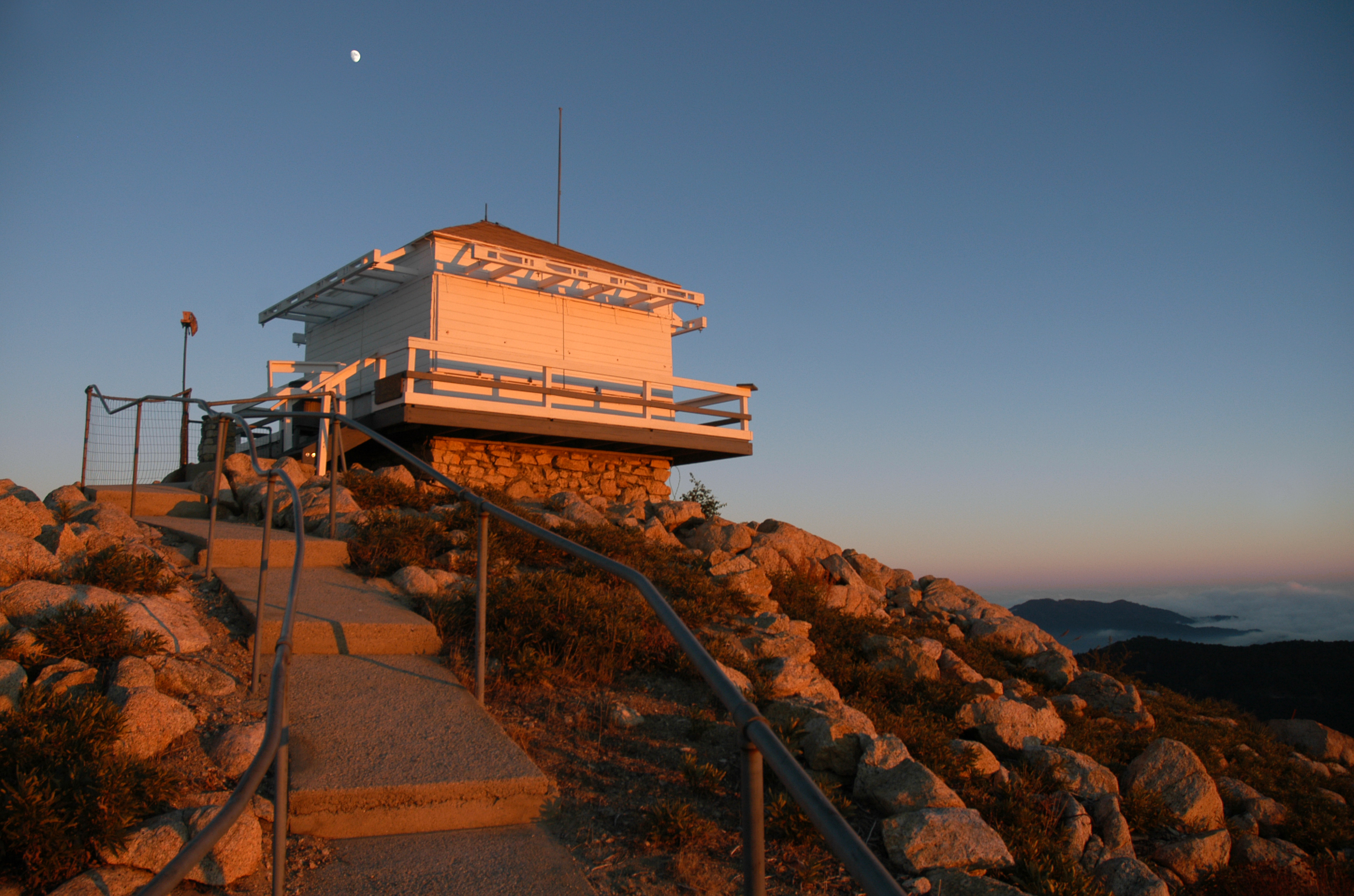
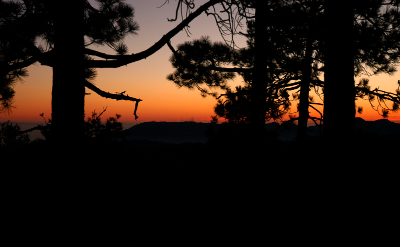
Sunset on Vetter Mountain Fire Lookout, near Charlton Flat in the Angeles National Forest
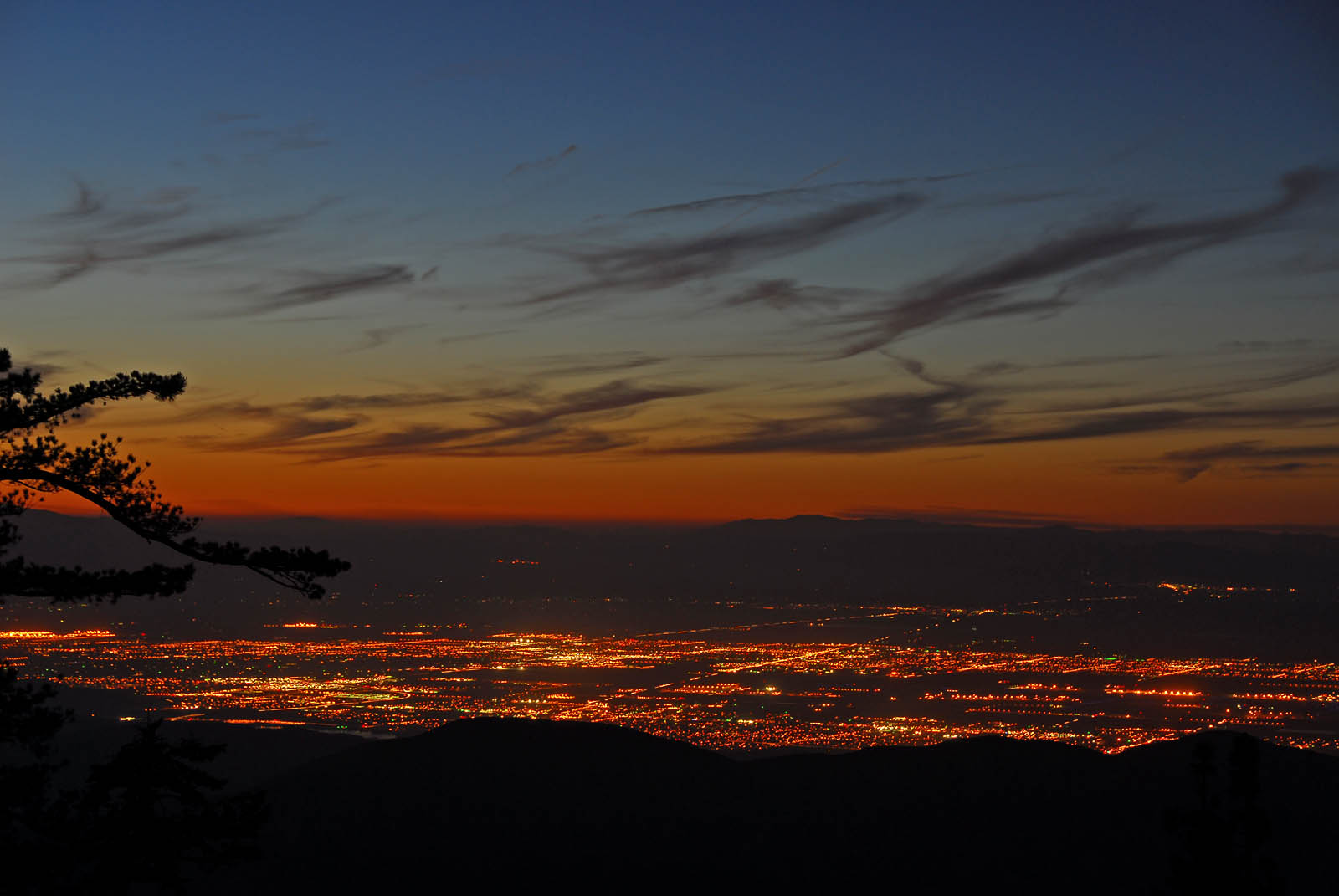
Orange sunset over the San Gabriel Mountains, Mt. Wilson Observatory in the distance
To be reborn
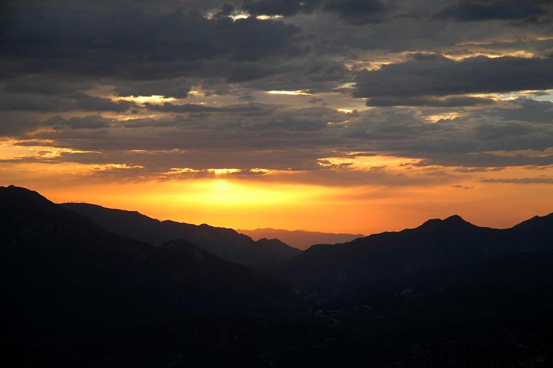
Pacifico Mountain Sunset
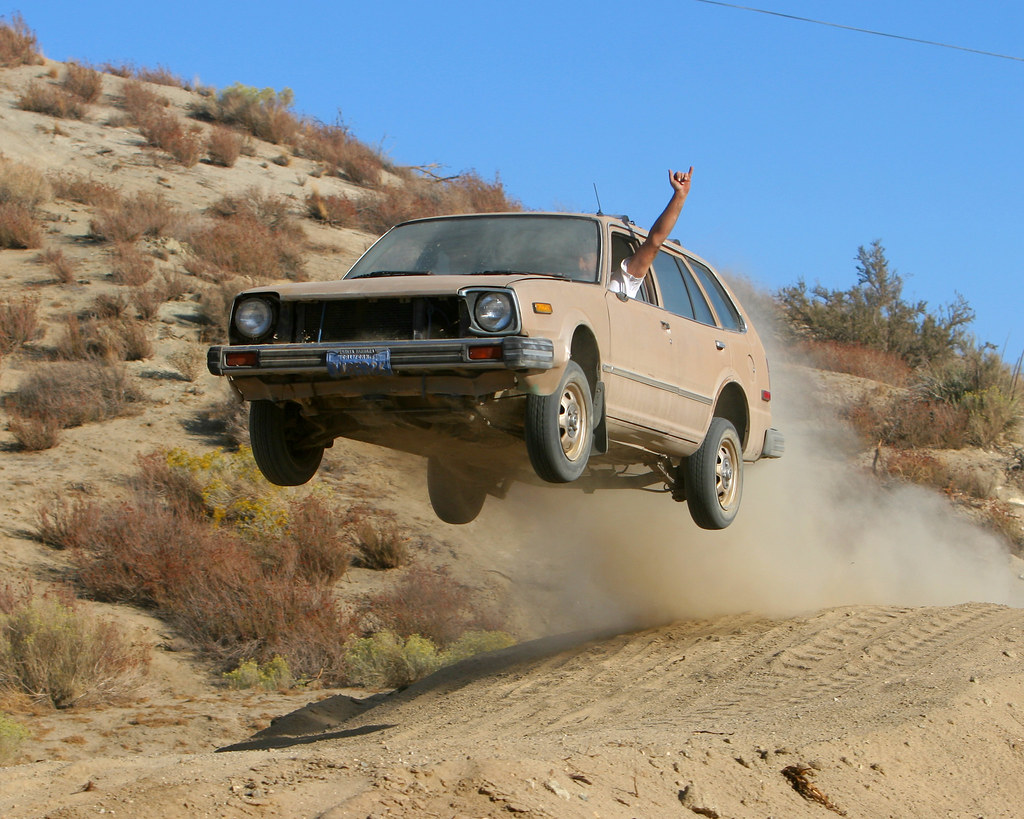
Flying Honda Wagon
Sunset over Big Tujunga Canyon, from Charlton Flat
Sun-Up Crest
Sunrise Crest

Snow at Red Box (Version 2)
San Gabriel Mountains sunrise
Moonset and sunrise
Sunrise and Strawberry Peak

Solo Hike
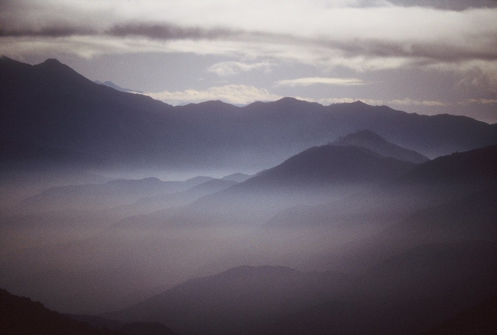
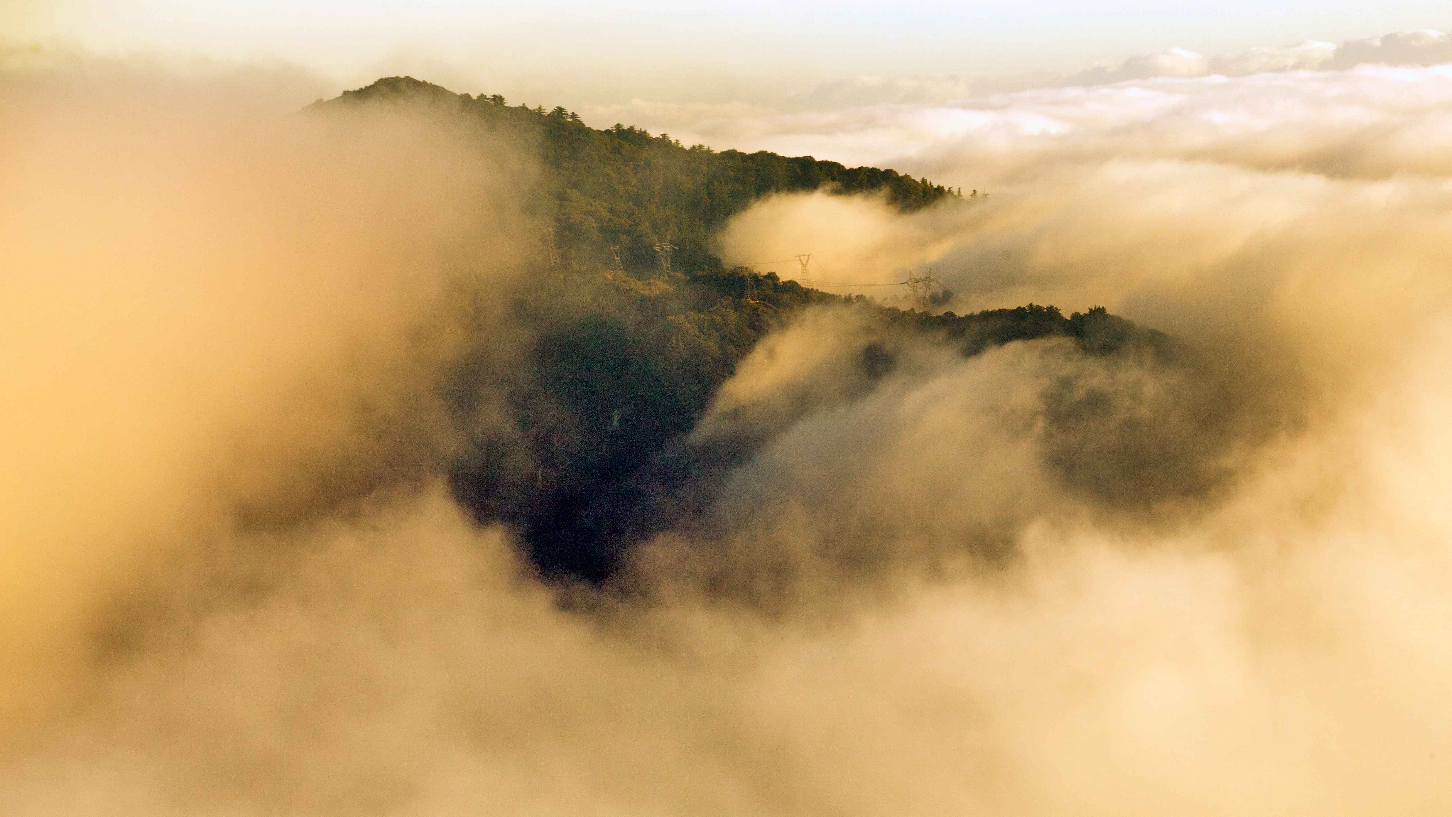
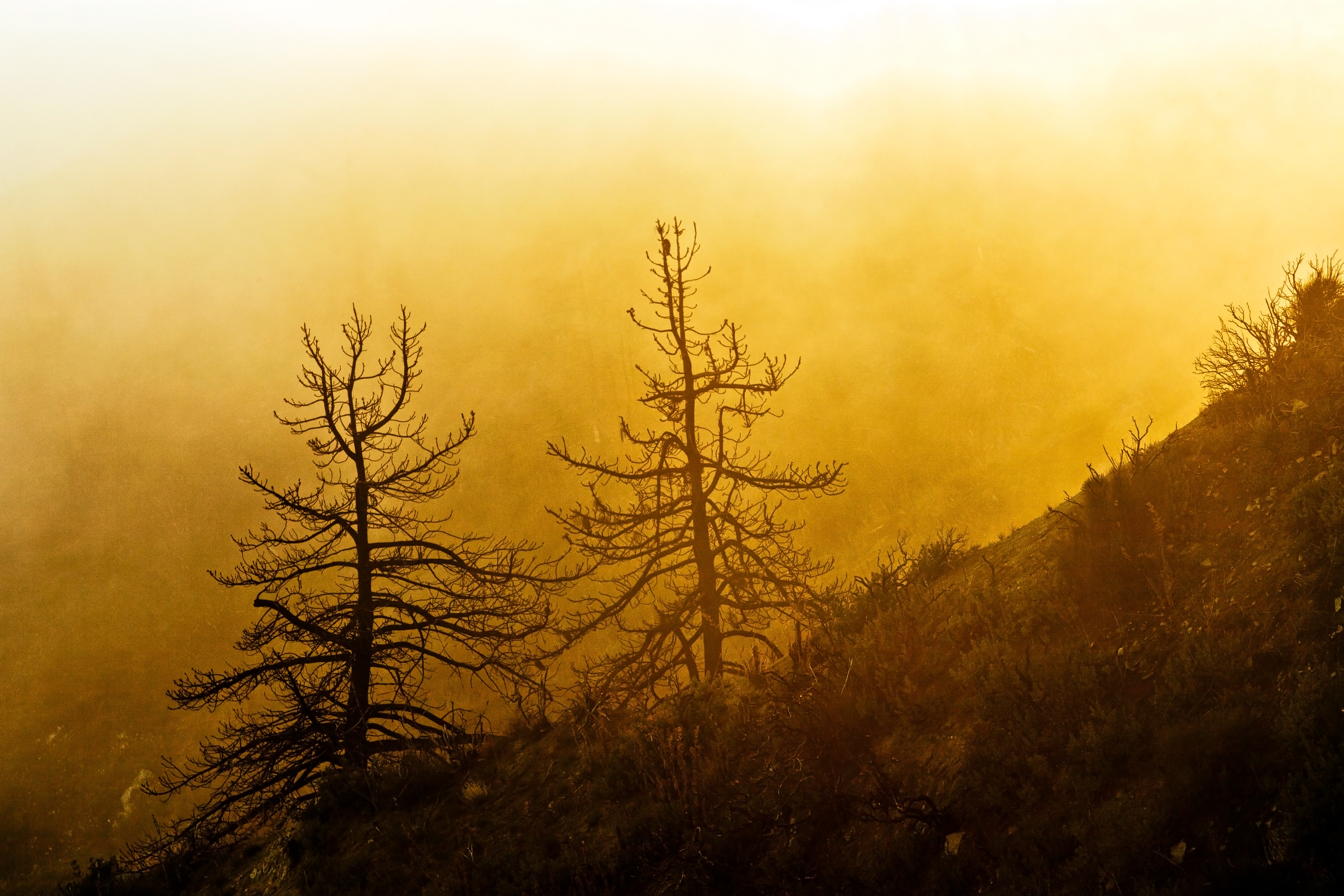
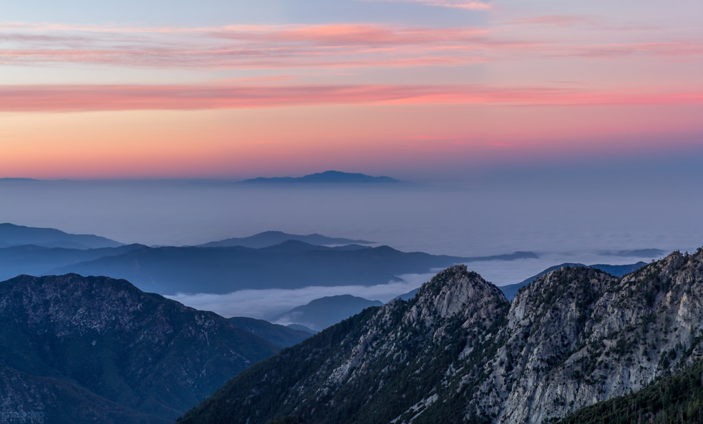
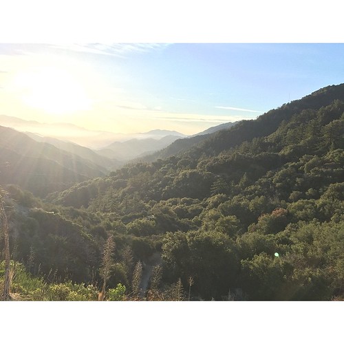
Above The Fog
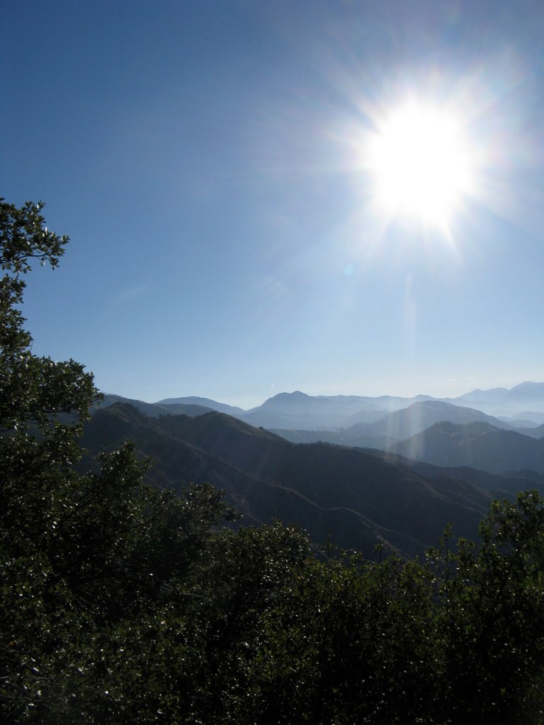
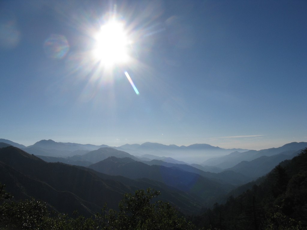
Sunrise over the San Gabriel Mountains
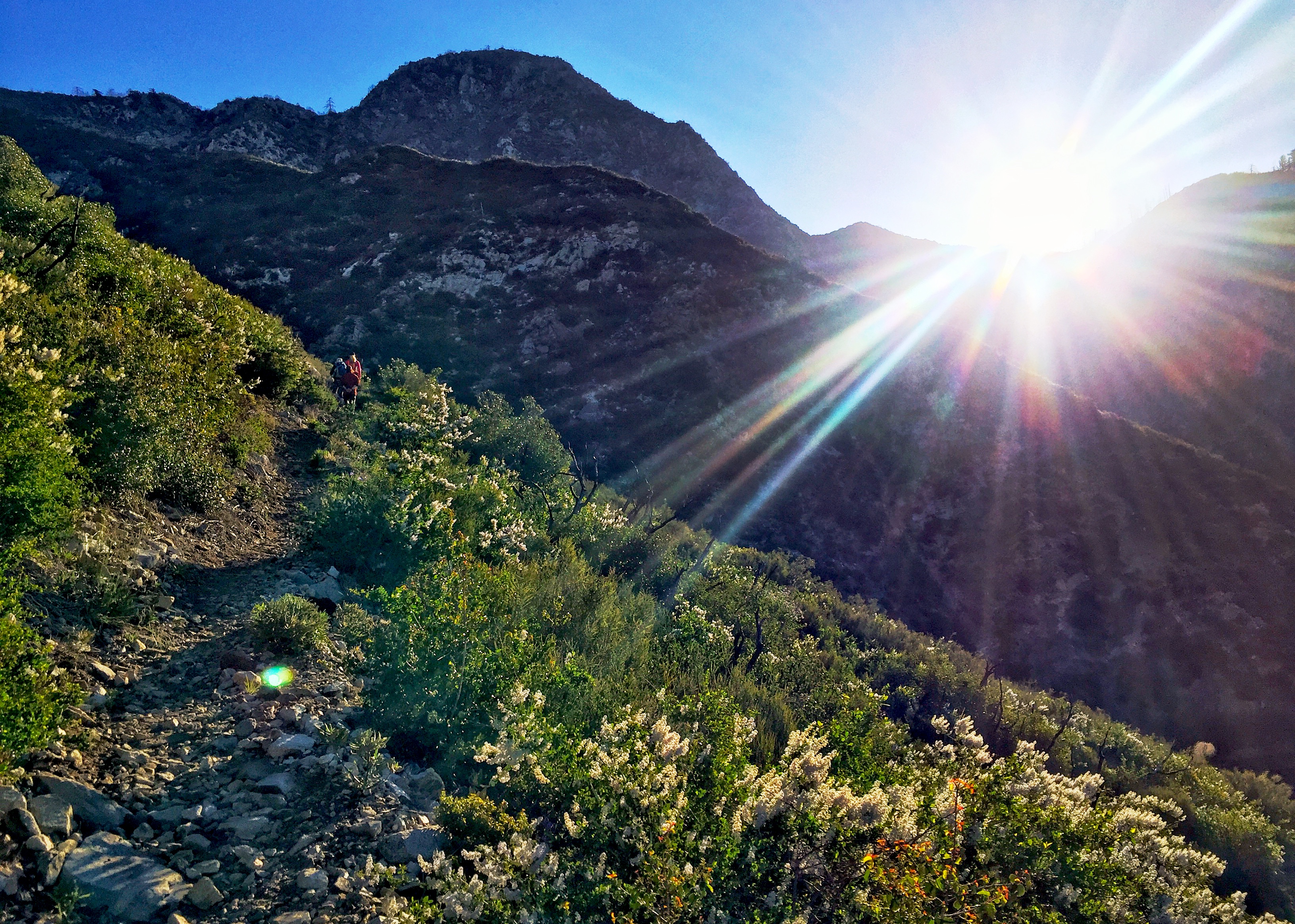
One of the views along the Strawberry Peak Trail. It's a good one for trail running and mountain biking too. The weather was perfect! Didn't want to leave :( #mountains #strawberrypeak #oceanbreeze #nofilter #wonderland #sunrise #clarity
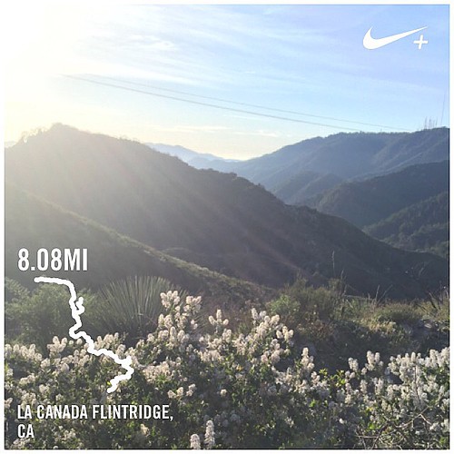
Strawberry Peak trail via Redbox Junction. I took a few wrong turns and ended up adding two extra miles to the route lol The weather was perfect and it was so relaxing at the top! #workout #trailrunning #hiking #nofilter #strawberrypeak
2 2 Mi S Aliso Cyn Vic Af, Acton, CA, USA Map
Search another place
Near Places
Pacifico Mountain, California, USA
Mount Emma Road, Mt Emma Rd, Palmdale, CA, USA
E Soledad Pass Rd, Palmdale, CA, USA
Little Rock Reservoir, California, USA
Sierra Hwy, Palmdale, CA, USA
Charlton Flats Picnic Site, Forest Service Rd 3N16, Falling Springs, CA, USA
Palmdale Hills Dr, Palmdale, CA, USA
Pearblossom Hwy, Palmdale, CA, USA
Pearblossom Hwy, Palmdale, CA, USA
Cheseboro Rd, Palmdale, CA, USA
Juniper Hills, CA, USA
Sierra Hwy, Palmdale, CA, USA
Littlerock, CA, USA
Vía Del Rio, Palmdale, CA, USA
Fairfield Ave, Palmdale, CA, USA
Juniper Hills Rd, Juniper Hills, CA, USA
Mount Lowe, Mt Lowe, California, USA
96th Street East, 96th St E, California, USA
Juniper Hills Rd, Littlerock, CA, USA
18th St E, Palmdale, CA, USA
Recent Searches
- Sunrise Sunset Times of Presidente Quintana & Emilio Mitre, Carlos Keen, Provincia de Buenos Aires, Argentina
- Sunrise Sunset Times of Deep Gap Farm Rd E, Mill Spring, NC, USA
- Sunrise Sunset Times of Jiujiangzhen, Nanhai District, Foshan, Guangdong Province, China
- Sunrise Sunset Times of Mountain View, CA, USA
- Sunrise Sunset Times of Road to the sky observatory, Shuenhigashi, Shari, Shari District, Hokkaido -, Japan
- Sunrise Sunset Times of 海岸咖啡, No. 31號, Chaishan Ave, Gushan District, Kaohsiung City, Taiwan
- Sunrise Sunset Times of Estates Loop, Priest River, ID, USA
- Sunrise Sunset Times of Woodland Oak Pl, Thousand Oaks, CA, USA
- Sunrise Sunset Times of Sarangdanda, Nepal
- Sunrise Sunset Times of Nakanoshima, Shiogama, Miyagi -, Japan