San Jose-Sunnyvale-Santa Clara, CA, CA, 美國的日出日落時間表
Location: 美國 > 加利福尼亞州 > 聖塔克拉拉郡 > 美國加利福尼亞州聖荷西 >
時區:
America/Los_Angeles
當地時間:
2024-04-23 22:44:11
經度:
-121.3541631
緯度:
36.9374556
今天日出時間:
06:18:02 AM
今天日落時間:
07:48:43 PM
今天日照時長:
13h 30m 41s
明天日出時間:
06:16:49 AM
明天日落時間:
07:49:37 PM
明天日照時長:
13h 32m 48s
顯示所有日期
| 日期 | 日出 | 日落 | 日照時長 |
|---|---|---|---|
| 2024年01月01日 | 07:18:33 AM | 05:00:02 PM | 9h 41m 29s |
| 2024年01月02日 | 07:18:40 AM | 05:00:51 PM | 9h 42m 11s |
| 2024年01月03日 | 07:18:45 AM | 05:01:40 PM | 9h 42m 55s |
| 2024年01月04日 | 07:18:48 AM | 05:02:31 PM | 9h 43m 43s |
| 2024年01月05日 | 07:18:49 AM | 05:03:23 PM | 9h 44m 34s |
| 2024年01月06日 | 07:18:49 AM | 05:04:16 PM | 9h 45m 27s |
| 2024年01月07日 | 07:18:46 AM | 05:05:11 PM | 9h 46m 25s |
| 2024年01月08日 | 07:18:41 AM | 05:06:06 PM | 9h 47m 25s |
| 2024年01月09日 | 07:18:34 AM | 05:07:02 PM | 9h 48m 28s |
| 2024年01月10日 | 07:18:25 AM | 05:07:59 PM | 9h 49m 34s |
| 2024年01月11日 | 07:18:14 AM | 05:08:57 PM | 9h 50m 43s |
| 2024年01月12日 | 07:18:01 AM | 05:09:55 PM | 9h 51m 54s |
| 2024年01月13日 | 07:17:46 AM | 05:10:55 PM | 9h 53m 9s |
| 2024年01月14日 | 07:17:29 AM | 05:11:55 PM | 9h 54m 26s |
| 2024年01月15日 | 07:17:10 AM | 05:12:55 PM | 9h 55m 45s |
| 2024年01月16日 | 07:16:49 AM | 05:13:57 PM | 9h 57m 8s |
| 2024年01月17日 | 07:16:26 AM | 05:14:59 PM | 9h 58m 33s |
| 2024年01月18日 | 07:16:02 AM | 05:16:01 PM | 9h 59m 59s |
| 2024年01月19日 | 07:15:35 AM | 05:17:04 PM | 10h 1m 29s |
| 2024年01月20日 | 07:15:06 AM | 05:18:07 PM | 10h 3m 1s |
| 2024年01月21日 | 07:14:36 AM | 05:19:11 PM | 10h 4m 35s |
| 2024年01月22日 | 07:14:03 AM | 05:20:15 PM | 10h 6m 12s |
| 2024年01月23日 | 07:13:29 AM | 05:21:19 PM | 10h 7m 50s |
| 2024年01月24日 | 07:12:53 AM | 05:22:23 PM | 10h 9m 30s |
| 2024年01月25日 | 07:12:15 AM | 05:23:28 PM | 10h 11m 13s |
| 2024年01月26日 | 07:11:36 AM | 05:24:33 PM | 10h 12m 57s |
| 2024年01月27日 | 07:10:54 AM | 05:25:38 PM | 10h 14m 44s |
| 2024年01月28日 | 07:10:11 AM | 05:26:43 PM | 10h 16m 32s |
| 2024年01月29日 | 07:09:26 AM | 05:27:48 PM | 10h 18m 22s |
| 2024年01月30日 | 07:08:40 AM | 05:28:53 PM | 10h 20m 13s |
| 2024年01月31日 | 07:07:52 AM | 05:29:59 PM | 10h 22m 7s |
| 2024年02月01日 | 07:07:02 AM | 05:31:04 PM | 10h 24m 2s |
| 2024年02月02日 | 07:06:11 AM | 05:32:09 PM | 10h 25m 58s |
| 2024年02月03日 | 07:05:18 AM | 05:33:14 PM | 10h 27m 56s |
| 2024年02月04日 | 07:04:24 AM | 05:34:19 PM | 10h 29m 55s |
| 2024年02月05日 | 07:03:28 AM | 05:35:24 PM | 10h 31m 56s |
| 2024年02月06日 | 07:02:31 AM | 05:36:28 PM | 10h 33m 57s |
| 2024年02月07日 | 07:01:32 AM | 05:37:33 PM | 10h 36m 1s |
| 2024年02月08日 | 07:00:32 AM | 05:38:37 PM | 10h 38m 5s |
| 2024年02月09日 | 06:59:31 AM | 05:39:41 PM | 10h 40m 10s |
| 2024年02月10日 | 06:58:28 AM | 05:40:45 PM | 10h 42m 17s |
| 2024年02月11日 | 06:57:24 AM | 05:41:48 PM | 10h 44m 24s |
| 2024年02月12日 | 06:56:19 AM | 05:42:52 PM | 10h 46m 33s |
| 2024年02月13日 | 06:55:12 AM | 05:43:55 PM | 10h 48m 43s |
| 2024年02月14日 | 06:54:05 AM | 05:44:58 PM | 10h 50m 53s |
| 2024年02月15日 | 06:52:56 AM | 05:46:00 PM | 10h 53m 4s |
| 2024年02月16日 | 06:51:46 AM | 05:47:02 PM | 10h 55m 16s |
| 2024年02月17日 | 06:50:35 AM | 05:48:04 PM | 10h 57m 29s |
| 2024年02月18日 | 06:49:23 AM | 05:49:06 PM | 10h 59m 43s |
| 2024年02月19日 | 06:48:09 AM | 05:50:07 PM | 11h 1m 58s |
| 2024年02月20日 | 06:46:55 AM | 05:51:08 PM | 11h 4m 13s |
| 2024年02月21日 | 06:45:40 AM | 05:52:09 PM | 11h 6m 29s |
| 2024年02月22日 | 06:44:24 AM | 05:53:09 PM | 11h 8m 45s |
| 2024年02月23日 | 06:43:07 AM | 05:54:09 PM | 11h 11m 2s |
| 2024年02月24日 | 06:41:49 AM | 05:55:09 PM | 11h 13m 20s |
| 2024年02月25日 | 06:40:31 AM | 05:56:08 PM | 11h 15m 37s |
| 2024年02月26日 | 06:39:11 AM | 05:57:07 PM | 11h 17m 56s |
| 2024年02月27日 | 06:37:51 AM | 05:58:06 PM | 11h 20m 15s |
| 2024年02月28日 | 06:36:30 AM | 05:59:04 PM | 11h 22m 34s |
| 2024年02月29日 | 06:35:08 AM | 06:00:02 PM | 11h 24m 54s |
| 2024年03月01日 | 06:33:46 AM | 06:01:00 PM | 11h 27m 14s |
| 2024年03月02日 | 06:32:23 AM | 06:01:57 PM | 11h 29m 34s |
| 2024年03月03日 | 06:31:00 AM | 06:02:54 PM | 11h 31m 54s |
| 2024年03月04日 | 06:29:36 AM | 06:03:51 PM | 11h 34m 15s |
| 2024年03月05日 | 06:28:11 AM | 06:04:48 PM | 11h 36m 37s |
| 2024年03月06日 | 06:26:46 AM | 06:05:44 PM | 11h 38m 58s |
| 2024年03月07日 | 06:25:20 AM | 06:06:40 PM | 11h 41m 20s |
| 2024年03月08日 | 06:23:54 AM | 06:07:36 PM | 11h 43m 42s |
| 2024年03月09日 | 06:22:27 AM | 06:08:31 PM | 11h 46m 4s |
| 2024年03月10日 | 07:21:04 AM | 07:09:24 PM | 11h 48m 20s |
| 2024年03月11日 | 07:19:37 AM | 07:10:19 PM | 11h 50m 42s |
| 2024年03月12日 | 07:18:09 AM | 07:11:14 PM | 11h 53m 5s |
| 2024年03月13日 | 07:16:41 AM | 07:12:09 PM | 11h 55m 28s |
| 2024年03月14日 | 07:15:13 AM | 07:13:03 PM | 11h 57m 50s |
| 2024年03月15日 | 07:13:45 AM | 07:13:58 PM | 12h 0m 13s |
| 2024年03月16日 | 07:12:16 AM | 07:14:52 PM | 12h 2m 36s |
| 2024年03月17日 | 07:10:47 AM | 07:15:45 PM | 12h 4m 58s |
| 2024年03月18日 | 07:09:18 AM | 07:16:39 PM | 12h 7m 21s |
| 2024年03月19日 | 07:07:49 AM | 07:17:33 PM | 12h 9m 44s |
| 2024年03月20日 | 07:06:20 AM | 07:18:26 PM | 12h 12m 6s |
| 2024年03月21日 | 07:04:51 AM | 07:19:19 PM | 12h 14m 28s |
| 2024年03月22日 | 07:03:22 AM | 07:20:13 PM | 12h 16m 51s |
| 2024年03月23日 | 07:01:53 AM | 07:21:06 PM | 12h 19m 13s |
| 2024年03月24日 | 07:00:23 AM | 07:21:59 PM | 12h 21m 36s |
| 2024年03月25日 | 06:58:54 AM | 07:22:52 PM | 12h 23m 58s |
| 2024年03月26日 | 06:57:25 AM | 07:23:44 PM | 12h 26m 19s |
| 2024年03月27日 | 06:55:56 AM | 07:24:37 PM | 12h 28m 41s |
| 2024年03月28日 | 06:54:28 AM | 07:25:30 PM | 12h 31m 2s |
| 2024年03月29日 | 06:52:59 AM | 07:26:22 PM | 12h 33m 23s |
| 2024年03月30日 | 06:51:31 AM | 07:27:15 PM | 12h 35m 44s |
| 2024年03月31日 | 06:50:02 AM | 07:28:08 PM | 12h 38m 6s |
| 2024年04月01日 | 06:48:35 AM | 07:29:00 PM | 12h 40m 25s |
| 2024年04月02日 | 06:47:07 AM | 07:29:53 PM | 12h 42m 46s |
| 2024年04月03日 | 06:45:40 AM | 07:30:45 PM | 12h 45m 5s |
| 2024年04月04日 | 06:44:13 AM | 07:31:38 PM | 12h 47m 25s |
| 2024年04月05日 | 06:42:46 AM | 07:32:31 PM | 12h 49m 45s |
| 2024年04月06日 | 06:41:20 AM | 07:33:23 PM | 12h 52m 3s |
| 2024年04月07日 | 06:39:55 AM | 07:34:16 PM | 12h 54m 21s |
| 2024年04月08日 | 06:38:30 AM | 07:35:08 PM | 12h 56m 38s |
| 2024年04月09日 | 06:37:05 AM | 07:36:01 PM | 12h 58m 56s |
| 2024年04月10日 | 06:35:41 AM | 07:36:54 PM | 13h 1m 13s |
| 2024年04月11日 | 06:34:17 AM | 07:37:47 PM | 13h 3m 30s |
| 2024年04月12日 | 06:32:54 AM | 07:38:39 PM | 13h 5m 45s |
| 2024年04月13日 | 06:31:32 AM | 07:39:32 PM | 13h 8m 0s |
| 2024年04月14日 | 06:30:10 AM | 07:40:25 PM | 13h 10m 15s |
| 2024年04月15日 | 06:28:49 AM | 07:41:18 PM | 13h 12m 29s |
| 2024年04月16日 | 06:27:29 AM | 07:42:11 PM | 13h 14m 42s |
| 2024年04月17日 | 06:26:10 AM | 07:43:04 PM | 13h 16m 54s |
| 2024年04月18日 | 06:24:51 AM | 07:43:57 PM | 13h 19m 6s |
| 2024年04月19日 | 06:23:33 AM | 07:44:50 PM | 13h 21m 17s |
| 2024年04月20日 | 06:22:16 AM | 07:45:44 PM | 13h 23m 28s |
| 2024年04月21日 | 06:21:00 AM | 07:46:37 PM | 13h 25m 37s |
| 2024年04月22日 | 06:19:44 AM | 07:47:30 PM | 13h 27m 46s |
| 2024年04月23日 | 06:18:30 AM | 07:48:23 PM | 13h 29m 53s |
| 2024年04月24日 | 06:17:16 AM | 07:49:17 PM | 13h 32m 1s |
| 2024年04月25日 | 06:16:04 AM | 07:50:10 PM | 13h 34m 6s |
| 2024年04月26日 | 06:14:52 AM | 07:51:03 PM | 13h 36m 11s |
| 2024年04月27日 | 06:13:42 AM | 07:51:56 PM | 13h 38m 14s |
| 2024年04月28日 | 06:12:32 AM | 07:52:50 PM | 13h 40m 18s |
| 2024年04月29日 | 06:11:24 AM | 07:53:43 PM | 13h 42m 19s |
| 2024年04月30日 | 06:10:17 AM | 07:54:36 PM | 13h 44m 19s |
| 2024年05月01日 | 06:09:11 AM | 07:55:29 PM | 13h 46m 18s |
| 2024年05月02日 | 06:08:06 AM | 07:56:22 PM | 13h 48m 16s |
| 2024年05月03日 | 06:07:02 AM | 07:57:15 PM | 13h 50m 13s |
| 2024年05月04日 | 06:06:00 AM | 07:58:08 PM | 13h 52m 8s |
| 2024年05月05日 | 06:04:59 AM | 07:59:00 PM | 13h 54m 1s |
| 2024年05月06日 | 06:03:59 AM | 07:59:53 PM | 13h 55m 54s |
| 2024年05月07日 | 06:03:01 AM | 08:00:45 PM | 13h 57m 44s |
| 2024年05月08日 | 06:02:03 AM | 08:01:37 PM | 13h 59m 34s |
| 2024年05月09日 | 06:01:08 AM | 08:02:29 PM | 14h 1m 21s |
| 2024年05月10日 | 06:00:13 AM | 08:03:21 PM | 14h 3m 8s |
| 2024年05月11日 | 05:59:20 AM | 08:04:12 PM | 14h 4m 52s |
| 2024年05月12日 | 05:58:29 AM | 08:05:03 PM | 14h 6m 34s |
| 2024年05月13日 | 05:57:38 AM | 08:05:54 PM | 14h 8m 16s |
| 2024年05月14日 | 05:56:50 AM | 08:06:44 PM | 14h 9m 54s |
| 2024年05月15日 | 05:56:03 AM | 08:07:34 PM | 14h 11m 31s |
| 2024年05月16日 | 05:55:17 AM | 08:08:24 PM | 14h 13m 7s |
| 2024年05月17日 | 05:54:33 AM | 08:09:13 PM | 14h 14m 40s |
| 2024年05月18日 | 05:53:51 AM | 08:10:01 PM | 14h 16m 10s |
| 2024年05月19日 | 05:53:10 AM | 08:10:49 PM | 14h 17m 39s |
| 2024年05月20日 | 05:52:31 AM | 08:11:37 PM | 14h 19m 6s |
| 2024年05月21日 | 05:51:53 AM | 08:12:24 PM | 14h 20m 31s |
| 2024年05月22日 | 05:51:17 AM | 08:13:10 PM | 14h 21m 53s |
| 2024年05月23日 | 05:50:43 AM | 08:13:56 PM | 14h 23m 13s |
| 2024年05月24日 | 05:50:10 AM | 08:14:41 PM | 14h 24m 31s |
| 2024年05月25日 | 05:49:39 AM | 08:15:25 PM | 14h 25m 46s |
| 2024年05月26日 | 05:49:10 AM | 08:16:09 PM | 14h 26m 59s |
| 2024年05月27日 | 05:48:43 AM | 08:16:52 PM | 14h 28m 9s |
| 2024年05月28日 | 05:48:17 AM | 08:17:34 PM | 14h 29m 17s |
| 2024年05月29日 | 05:47:53 AM | 08:18:15 PM | 14h 30m 22s |
| 2024年05月30日 | 05:47:31 AM | 08:18:55 PM | 14h 31m 24s |
| 2024年05月31日 | 05:47:10 AM | 08:19:34 PM | 14h 32m 24s |
| 2024年06月01日 | 05:46:51 AM | 08:20:12 PM | 14h 33m 21s |
| 2024年06月02日 | 05:46:34 AM | 08:20:49 PM | 14h 34m 15s |
| 2024年06月03日 | 05:46:19 AM | 08:21:25 PM | 14h 35m 6s |
| 2024年06月04日 | 05:46:06 AM | 08:22:00 PM | 14h 35m 54s |
| 2024年06月05日 | 05:45:54 AM | 08:22:34 PM | 14h 36m 40s |
| 2024年06月06日 | 05:45:44 AM | 08:23:07 PM | 14h 37m 23s |
| 2024年06月07日 | 05:45:36 AM | 08:23:38 PM | 14h 38m 2s |
| 2024年06月08日 | 05:45:29 AM | 08:24:08 PM | 14h 38m 39s |
| 2024年06月09日 | 05:45:24 AM | 08:24:37 PM | 14h 39m 13s |
| 2024年06月10日 | 05:45:21 AM | 08:25:05 PM | 14h 39m 44s |
| 2024年06月11日 | 05:45:20 AM | 08:25:31 PM | 14h 40m 11s |
| 2024年06月12日 | 05:45:21 AM | 08:25:56 PM | 14h 40m 35s |
| 2024年06月13日 | 05:45:23 AM | 08:26:19 PM | 14h 40m 56s |
| 2024年06月14日 | 05:45:26 AM | 08:26:41 PM | 14h 41m 15s |
| 2024年06月15日 | 05:45:32 AM | 08:27:01 PM | 14h 41m 29s |
| 2024年06月16日 | 05:45:39 AM | 08:27:20 PM | 14h 41m 41s |
| 2024年06月17日 | 05:45:48 AM | 08:27:38 PM | 14h 41m 50s |
| 2024年06月18日 | 05:45:58 AM | 08:27:53 PM | 14h 41m 55s |
| 2024年06月19日 | 05:46:10 AM | 08:28:08 PM | 14h 41m 58s |
| 2024年06月20日 | 05:46:24 AM | 08:28:20 PM | 14h 41m 56s |
| 2024年06月21日 | 05:46:39 AM | 08:28:31 PM | 14h 41m 52s |
| 2024年06月22日 | 05:46:55 AM | 08:28:41 PM | 14h 41m 46s |
| 2024年06月23日 | 05:47:13 AM | 08:28:48 PM | 14h 41m 35s |
| 2024年06月24日 | 05:47:33 AM | 08:28:54 PM | 14h 41m 21s |
| 2024年06月25日 | 05:47:53 AM | 08:28:58 PM | 14h 41m 5s |
| 2024年06月26日 | 05:48:16 AM | 08:29:01 PM | 14h 40m 45s |
| 2024年06月27日 | 05:48:39 AM | 08:29:02 PM | 14h 40m 23s |
| 2024年06月28日 | 05:49:04 AM | 08:29:01 PM | 14h 39m 57s |
| 2024年06月29日 | 05:49:31 AM | 08:28:58 PM | 14h 39m 27s |
| 2024年06月30日 | 05:49:58 AM | 08:28:53 PM | 14h 38m 55s |
| 2024年07月01日 | 05:50:27 AM | 08:28:47 PM | 14h 38m 20s |
| 2024年07月02日 | 05:50:57 AM | 08:28:39 PM | 14h 37m 42s |
| 2024年07月03日 | 05:51:28 AM | 08:28:29 PM | 14h 37m 1s |
| 2024年07月04日 | 05:52:00 AM | 08:28:17 PM | 14h 36m 17s |
| 2024年07月05日 | 05:52:34 AM | 08:28:04 PM | 14h 35m 30s |
| 2024年07月06日 | 05:53:08 AM | 08:27:48 PM | 14h 34m 40s |
| 2024年07月07日 | 05:53:44 AM | 08:27:31 PM | 14h 33m 47s |
| 2024年07月08日 | 05:54:20 AM | 08:27:12 PM | 14h 32m 52s |
| 2024年07月09日 | 05:54:57 AM | 08:26:52 PM | 14h 31m 55s |
| 2024年07月10日 | 05:55:35 AM | 08:26:29 PM | 14h 30m 54s |
| 2024年07月11日 | 05:56:14 AM | 08:26:05 PM | 14h 29m 51s |
| 2024年07月12日 | 05:56:54 AM | 08:25:39 PM | 14h 28m 45s |
| 2024年07月13日 | 05:57:35 AM | 08:25:11 PM | 14h 27m 36s |
| 2024年07月14日 | 05:58:16 AM | 08:24:42 PM | 14h 26m 26s |
| 2024年07月15日 | 05:58:58 AM | 08:24:10 PM | 14h 25m 12s |
| 2024年07月16日 | 05:59:41 AM | 08:23:37 PM | 14h 23m 56s |
| 2024年07月17日 | 06:00:25 AM | 08:23:03 PM | 14h 22m 38s |
| 2024年07月18日 | 06:01:09 AM | 08:22:26 PM | 14h 21m 17s |
| 2024年07月19日 | 06:01:53 AM | 08:21:48 PM | 14h 19m 55s |
| 2024年07月20日 | 06:02:38 AM | 08:21:08 PM | 14h 18m 30s |
| 2024年07月21日 | 06:03:24 AM | 08:20:27 PM | 14h 17m 3s |
| 2024年07月22日 | 06:04:10 AM | 08:19:44 PM | 14h 15m 34s |
| 2024年07月23日 | 06:04:56 AM | 08:18:59 PM | 14h 14m 3s |
| 2024年07月24日 | 06:05:43 AM | 08:18:13 PM | 14h 12m 30s |
| 2024年07月25日 | 06:06:31 AM | 08:17:25 PM | 14h 10m 54s |
| 2024年07月26日 | 06:07:18 AM | 08:16:36 PM | 14h 9m 18s |
| 2024年07月27日 | 06:08:06 AM | 08:15:45 PM | 14h 7m 39s |
| 2024年07月28日 | 06:08:54 AM | 08:14:53 PM | 14h 5m 59s |
| 2024年07月29日 | 06:09:43 AM | 08:13:59 PM | 14h 4m 16s |
| 2024年07月30日 | 06:10:31 AM | 08:13:04 PM | 14h 2m 33s |
| 2024年07月31日 | 06:11:20 AM | 08:12:07 PM | 14h 0m 47s |
| 2024年08月01日 | 06:12:09 AM | 08:11:09 PM | 13h 59m 0s |
| 2024年08月02日 | 06:12:59 AM | 08:10:09 PM | 13h 57m 10s |
| 2024年08月03日 | 06:13:48 AM | 08:09:09 PM | 13h 55m 21s |
| 2024年08月04日 | 06:14:37 AM | 08:08:07 PM | 13h 53m 30s |
| 2024年08月05日 | 06:15:27 AM | 08:07:03 PM | 13h 51m 36s |
| 2024年08月06日 | 06:16:17 AM | 08:05:58 PM | 13h 49m 41s |
| 2024年08月07日 | 06:17:06 AM | 08:04:53 PM | 13h 47m 47s |
| 2024年08月08日 | 06:17:56 AM | 08:03:46 PM | 13h 45m 50s |
| 2024年08月09日 | 06:18:46 AM | 08:02:37 PM | 13h 43m 51s |
| 2024年08月10日 | 06:19:35 AM | 08:01:28 PM | 13h 41m 53s |
| 2024年08月11日 | 06:20:25 AM | 08:00:17 PM | 13h 39m 52s |
| 2024年08月12日 | 06:21:15 AM | 07:59:06 PM | 13h 37m 51s |
| 2024年08月13日 | 06:22:05 AM | 07:57:53 PM | 13h 35m 48s |
| 2024年08月14日 | 06:22:54 AM | 07:56:39 PM | 13h 33m 45s |
| 2024年08月15日 | 06:23:44 AM | 07:55:25 PM | 13h 31m 41s |
| 2024年08月16日 | 06:24:34 AM | 07:54:09 PM | 13h 29m 35s |
| 2024年08月17日 | 06:25:23 AM | 07:52:52 PM | 13h 27m 29s |
| 2024年08月18日 | 06:26:13 AM | 07:51:35 PM | 13h 25m 22s |
| 2024年08月19日 | 06:27:02 AM | 07:50:16 PM | 13h 23m 14s |
| 2024年08月20日 | 06:27:52 AM | 07:48:57 PM | 13h 21m 5s |
| 2024年08月21日 | 06:28:41 AM | 07:47:37 PM | 13h 18m 56s |
| 2024年08月22日 | 06:29:30 AM | 07:46:16 PM | 13h 16m 46s |
| 2024年08月23日 | 06:30:19 AM | 07:44:54 PM | 13h 14m 35s |
| 2024年08月24日 | 06:31:08 AM | 07:43:32 PM | 13h 12m 24s |
| 2024年08月25日 | 06:31:57 AM | 07:42:09 PM | 13h 10m 12s |
| 2024年08月26日 | 06:32:46 AM | 07:40:45 PM | 13h 7m 59s |
| 2024年08月27日 | 06:33:35 AM | 07:39:20 PM | 13h 5m 45s |
| 2024年08月28日 | 06:34:24 AM | 07:37:55 PM | 13h 3m 31s |
| 2024年08月29日 | 06:35:12 AM | 07:36:30 PM | 13h 1m 18s |
| 2024年08月30日 | 06:36:01 AM | 07:35:03 PM | 12h 59m 2s |
| 2024年08月31日 | 06:36:49 AM | 07:33:36 PM | 12h 56m 47s |
| 2024年09月01日 | 06:37:38 AM | 07:32:09 PM | 12h 54m 31s |
| 2024年09月02日 | 06:38:26 AM | 07:30:41 PM | 12h 52m 15s |
| 2024年09月03日 | 06:39:15 AM | 07:29:13 PM | 12h 49m 58s |
| 2024年09月04日 | 06:40:03 AM | 07:27:45 PM | 12h 47m 42s |
| 2024年09月05日 | 06:40:51 AM | 07:26:15 PM | 12h 45m 24s |
| 2024年09月06日 | 06:41:39 AM | 07:24:46 PM | 12h 43m 7s |
| 2024年09月07日 | 06:42:28 AM | 07:23:16 PM | 12h 40m 48s |
| 2024年09月08日 | 06:43:16 AM | 07:21:46 PM | 12h 38m 30s |
| 2024年09月09日 | 06:44:04 AM | 07:20:16 PM | 12h 36m 12s |
| 2024年09月10日 | 06:44:52 AM | 07:18:45 PM | 12h 33m 53s |
| 2024年09月11日 | 06:45:41 AM | 07:17:15 PM | 12h 31m 34s |
| 2024年09月12日 | 06:46:29 AM | 07:15:44 PM | 12h 29m 15s |
| 2024年09月13日 | 06:47:17 AM | 07:14:13 PM | 12h 26m 56s |
| 2024年09月14日 | 06:48:06 AM | 07:12:41 PM | 12h 24m 35s |
| 2024年09月15日 | 06:48:54 AM | 07:11:10 PM | 12h 22m 16s |
| 2024年09月16日 | 06:49:43 AM | 07:09:39 PM | 12h 19m 56s |
| 2024年09月17日 | 06:50:31 AM | 07:08:07 PM | 12h 17m 36s |
| 2024年09月18日 | 06:51:20 AM | 07:06:36 PM | 12h 15m 16s |
| 2024年09月19日 | 06:52:09 AM | 07:05:04 PM | 12h 12m 55s |
| 2024年09月20日 | 06:52:58 AM | 07:03:33 PM | 12h 10m 35s |
| 2024年09月21日 | 06:53:47 AM | 07:02:01 PM | 12h 8m 14s |
| 2024年09月22日 | 06:54:36 AM | 07:00:30 PM | 12h 5m 54s |
| 2024年09月23日 | 06:55:25 AM | 06:58:59 PM | 12h 3m 34s |
| 2024年09月24日 | 06:56:15 AM | 06:57:28 PM | 12h 1m 13s |
| 2024年09月25日 | 06:57:05 AM | 06:55:57 PM | 11h 58m 52s |
| 2024年09月26日 | 06:57:54 AM | 06:54:27 PM | 11h 56m 33s |
| 2024年09月27日 | 06:58:45 AM | 06:52:57 PM | 11h 54m 12s |
| 2024年09月28日 | 06:59:35 AM | 06:51:27 PM | 11h 51m 52s |
| 2024年09月29日 | 07:00:25 AM | 06:49:57 PM | 11h 49m 32s |
| 2024年09月30日 | 07:01:16 AM | 06:48:27 PM | 11h 47m 11s |
| 2024年10月01日 | 07:02:07 AM | 06:46:58 PM | 11h 44m 51s |
| 2024年10月02日 | 07:02:58 AM | 06:45:30 PM | 11h 42m 32s |
| 2024年10月03日 | 07:03:50 AM | 06:44:02 PM | 11h 40m 12s |
| 2024年10月04日 | 07:04:42 AM | 06:42:34 PM | 11h 37m 52s |
| 2024年10月05日 | 07:05:34 AM | 06:41:07 PM | 11h 35m 33s |
| 2024年10月06日 | 07:06:26 AM | 06:39:40 PM | 11h 33m 14s |
| 2024年10月07日 | 07:07:19 AM | 06:38:14 PM | 11h 30m 55s |
| 2024年10月08日 | 07:08:12 AM | 06:36:48 PM | 11h 28m 36s |
| 2024年10月09日 | 07:09:05 AM | 06:35:23 PM | 11h 26m 18s |
| 2024年10月10日 | 07:09:59 AM | 06:33:59 PM | 11h 24m 0s |
| 2024年10月11日 | 07:10:53 AM | 06:32:36 PM | 11h 21m 43s |
| 2024年10月12日 | 07:11:47 AM | 06:31:13 PM | 11h 19m 26s |
| 2024年10月13日 | 07:12:41 AM | 06:29:50 PM | 11h 17m 9s |
| 2024年10月14日 | 07:13:36 AM | 06:28:29 PM | 11h 14m 53s |
| 2024年10月15日 | 07:14:32 AM | 06:27:08 PM | 11h 12m 36s |
| 2024年10月16日 | 07:15:27 AM | 06:25:49 PM | 11h 10m 22s |
| 2024年10月17日 | 07:16:23 AM | 06:24:30 PM | 11h 8m 7s |
| 2024年10月18日 | 07:17:20 AM | 06:23:12 PM | 11h 5m 52s |
| 2024年10月19日 | 07:18:16 AM | 06:21:55 PM | 11h 3m 39s |
| 2024年10月20日 | 07:19:13 AM | 06:20:39 PM | 11h 1m 26s |
| 2024年10月21日 | 07:20:11 AM | 06:19:24 PM | 10h 59m 13s |
| 2024年10月22日 | 07:21:08 AM | 06:18:09 PM | 10h 57m 1s |
| 2024年10月23日 | 07:22:07 AM | 06:16:56 PM | 10h 54m 49s |
| 2024年10月24日 | 07:23:05 AM | 06:15:45 PM | 10h 52m 40s |
| 2024年10月25日 | 07:24:04 AM | 06:14:34 PM | 10h 50m 30s |
| 2024年10月26日 | 07:25:03 AM | 06:13:24 PM | 10h 48m 21s |
| 2024年10月27日 | 07:26:02 AM | 06:12:16 PM | 10h 46m 14s |
| 2024年10月28日 | 07:27:02 AM | 06:11:09 PM | 10h 44m 7s |
| 2024年10月29日 | 07:28:02 AM | 06:10:03 PM | 10h 42m 1s |
| 2024年10月30日 | 07:29:02 AM | 06:08:58 PM | 10h 39m 56s |
| 2024年10月31日 | 07:30:03 AM | 06:07:55 PM | 10h 37m 52s |
| 2024年11月01日 | 07:31:03 AM | 06:06:53 PM | 10h 35m 50s |
| 2024年11月02日 | 07:32:04 AM | 06:05:52 PM | 10h 33m 48s |
| 2024年11月03日 | 06:33:08 AM | 05:04:50 PM | 10h 31m 42s |
| 2024年11月04日 | 06:34:10 AM | 05:03:53 PM | 10h 29m 43s |
| 2024年11月05日 | 06:35:11 AM | 05:02:57 PM | 10h 27m 46s |
| 2024年11月06日 | 06:36:13 AM | 05:02:02 PM | 10h 25m 49s |
| 2024年11月07日 | 06:37:15 AM | 05:01:09 PM | 10h 23m 54s |
| 2024年11月08日 | 06:38:17 AM | 05:00:17 PM | 10h 22m 0s |
| 2024年11月09日 | 06:39:19 AM | 04:59:28 PM | 10h 20m 9s |
| 2024年11月10日 | 06:40:21 AM | 04:58:39 PM | 10h 18m 18s |
| 2024年11月11日 | 06:41:24 AM | 04:57:53 PM | 10h 16m 29s |
| 2024年11月12日 | 06:42:26 AM | 04:57:08 PM | 10h 14m 42s |
| 2024年11月13日 | 06:43:28 AM | 04:56:25 PM | 10h 12m 57s |
| 2024年11月14日 | 06:44:30 AM | 04:55:43 PM | 10h 11m 13s |
| 2024年11月15日 | 06:45:32 AM | 04:55:04 PM | 10h 9m 32s |
| 2024年11月16日 | 06:46:34 AM | 04:54:26 PM | 10h 7m 52s |
| 2024年11月17日 | 06:47:36 AM | 04:53:50 PM | 10h 6m 14s |
| 2024年11月18日 | 06:48:37 AM | 04:53:16 PM | 10h 4m 39s |
| 2024年11月19日 | 06:49:38 AM | 04:52:44 PM | 10h 3m 6s |
| 2024年11月20日 | 06:50:39 AM | 04:52:13 PM | 10h 1m 34s |
| 2024年11月21日 | 06:51:40 AM | 04:51:45 PM | 10h 0m 5s |
| 2024年11月22日 | 06:52:40 AM | 04:51:18 PM | 9h 58m 38s |
| 2024年11月23日 | 06:53:40 AM | 04:50:54 PM | 9h 57m 14s |
| 2024年11月24日 | 06:54:39 AM | 04:50:31 PM | 9h 55m 52s |
| 2024年11月25日 | 06:55:38 AM | 04:50:11 PM | 9h 54m 33s |
| 2024年11月26日 | 06:56:36 AM | 04:49:52 PM | 9h 53m 16s |
| 2024年11月27日 | 06:57:34 AM | 04:49:36 PM | 9h 52m 2s |
| 2024年11月28日 | 06:58:31 AM | 04:49:21 PM | 9h 50m 50s |
| 2024年11月29日 | 06:59:27 AM | 04:49:09 PM | 9h 49m 42s |
| 2024年11月30日 | 07:00:23 AM | 04:48:58 PM | 9h 48m 35s |
| 2024年12月01日 | 07:01:18 AM | 04:48:50 PM | 9h 47m 32s |
| 2024年12月02日 | 07:02:12 AM | 04:48:44 PM | 9h 46m 32s |
| 2024年12月03日 | 07:03:05 AM | 04:48:40 PM | 9h 45m 35s |
| 2024年12月04日 | 07:03:57 AM | 04:48:38 PM | 9h 44m 41s |
| 2024年12月05日 | 07:04:48 AM | 04:48:38 PM | 9h 43m 50s |
| 2024年12月06日 | 07:05:37 AM | 04:48:40 PM | 9h 43m 3s |
| 2024年12月07日 | 07:06:26 AM | 04:48:44 PM | 9h 42m 18s |
| 2024年12月08日 | 07:07:14 AM | 04:48:50 PM | 9h 41m 36s |
| 2024年12月09日 | 07:08:00 AM | 04:48:58 PM | 9h 40m 58s |
| 2024年12月10日 | 07:08:46 AM | 04:49:08 PM | 9h 40m 22s |
| 2024年12月11日 | 07:09:30 AM | 04:49:20 PM | 9h 39m 50s |
| 2024年12月12日 | 07:10:12 AM | 04:49:35 PM | 9h 39m 23s |
| 2024年12月13日 | 07:10:53 AM | 04:49:51 PM | 9h 38m 58s |
| 2024年12月14日 | 07:11:33 AM | 04:50:09 PM | 9h 38m 36s |
| 2024年12月15日 | 07:12:11 AM | 04:50:29 PM | 9h 38m 18s |
| 2024年12月16日 | 07:12:48 AM | 04:50:51 PM | 9h 38m 3s |
| 2024年12月17日 | 07:13:23 AM | 04:51:15 PM | 9h 37m 52s |
| 2024年12月18日 | 07:13:57 AM | 04:51:41 PM | 9h 37m 44s |
| 2024年12月19日 | 07:14:28 AM | 04:52:09 PM | 9h 37m 41s |
| 2024年12月20日 | 07:14:59 AM | 04:52:38 PM | 9h 37m 39s |
| 2024年12月21日 | 07:15:27 AM | 04:53:09 PM | 9h 37m 42s |
| 2024年12月22日 | 07:15:54 AM | 04:53:42 PM | 9h 37m 48s |
| 2024年12月23日 | 07:16:19 AM | 04:54:17 PM | 9h 37m 58s |
| 2024年12月24日 | 07:16:42 AM | 04:54:53 PM | 9h 38m 11s |
| 2024年12月25日 | 07:17:03 AM | 04:55:31 PM | 9h 38m 28s |
| 2024年12月26日 | 07:17:22 AM | 04:56:11 PM | 9h 38m 49s |
| 2024年12月27日 | 07:17:40 AM | 04:56:52 PM | 9h 39m 12s |
| 2024年12月28日 | 07:17:55 AM | 04:57:34 PM | 9h 39m 39s |
| 2024年12月29日 | 07:18:09 AM | 04:58:18 PM | 9h 40m 9s |
| 2024年12月30日 | 07:18:21 AM | 04:59:04 PM | 9h 40m 43s |
日出日落照片

Sunset with Open Arms
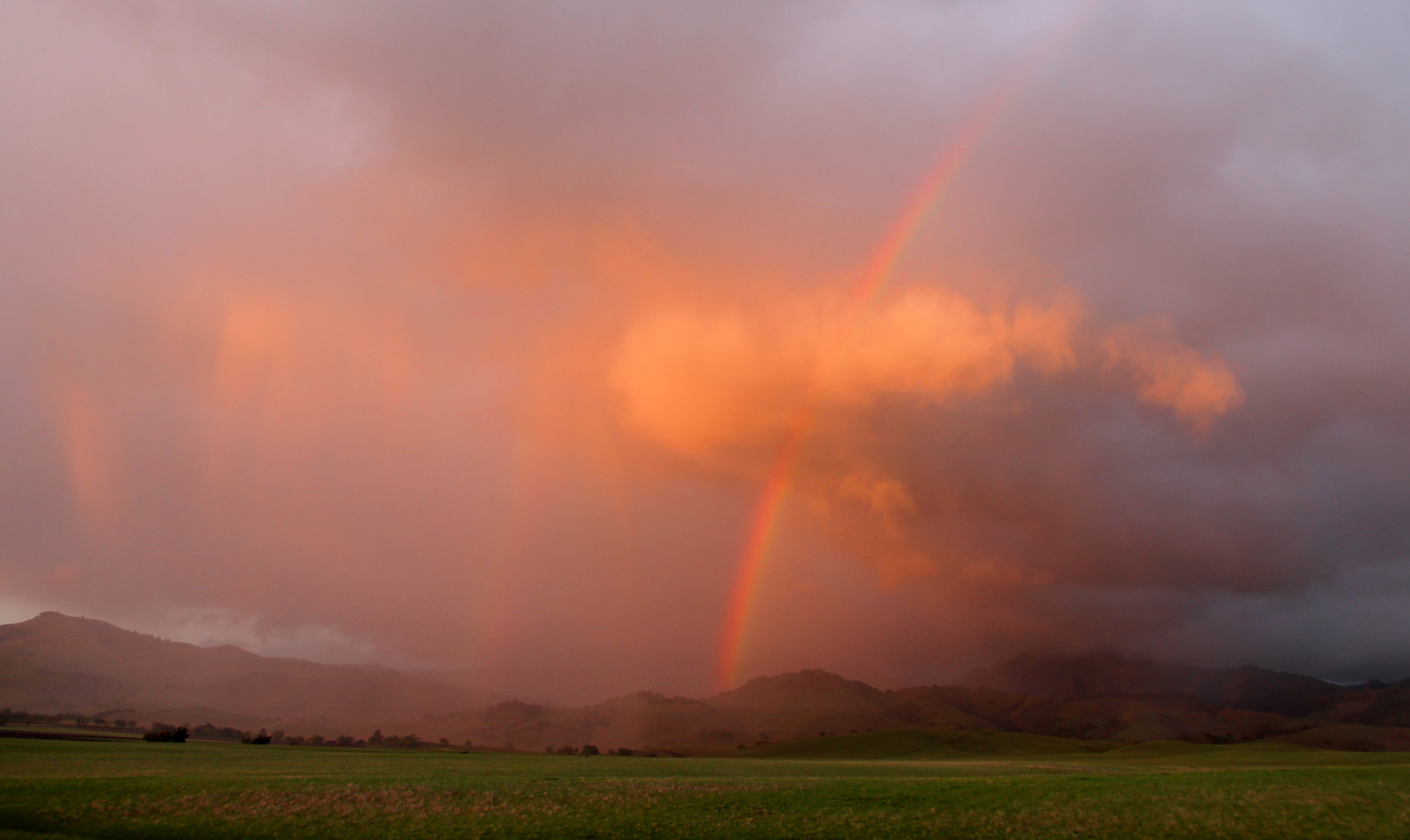
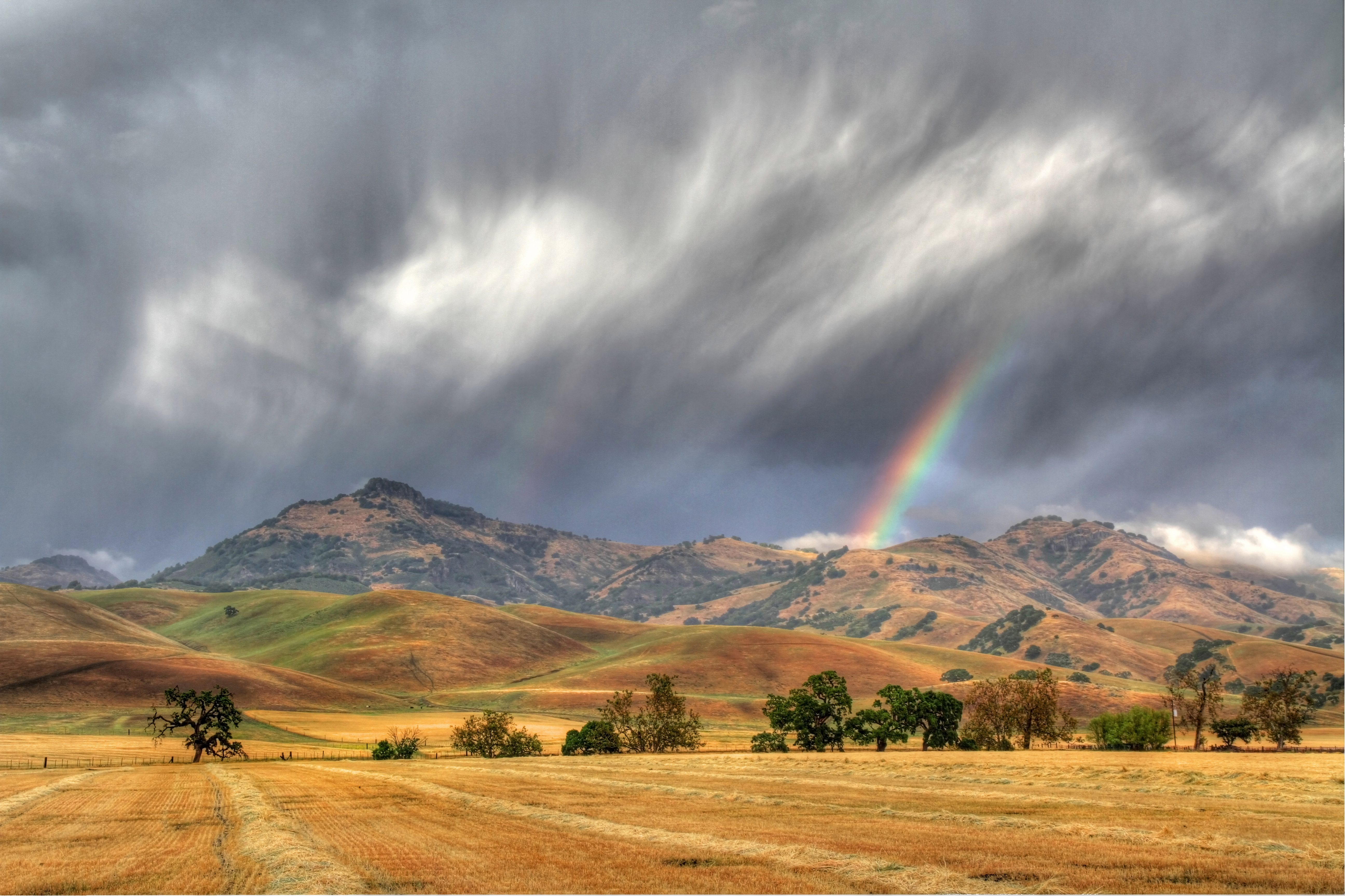
It's Raining Rainbows

In Memory

An End To A Perfect Day
Fading Light
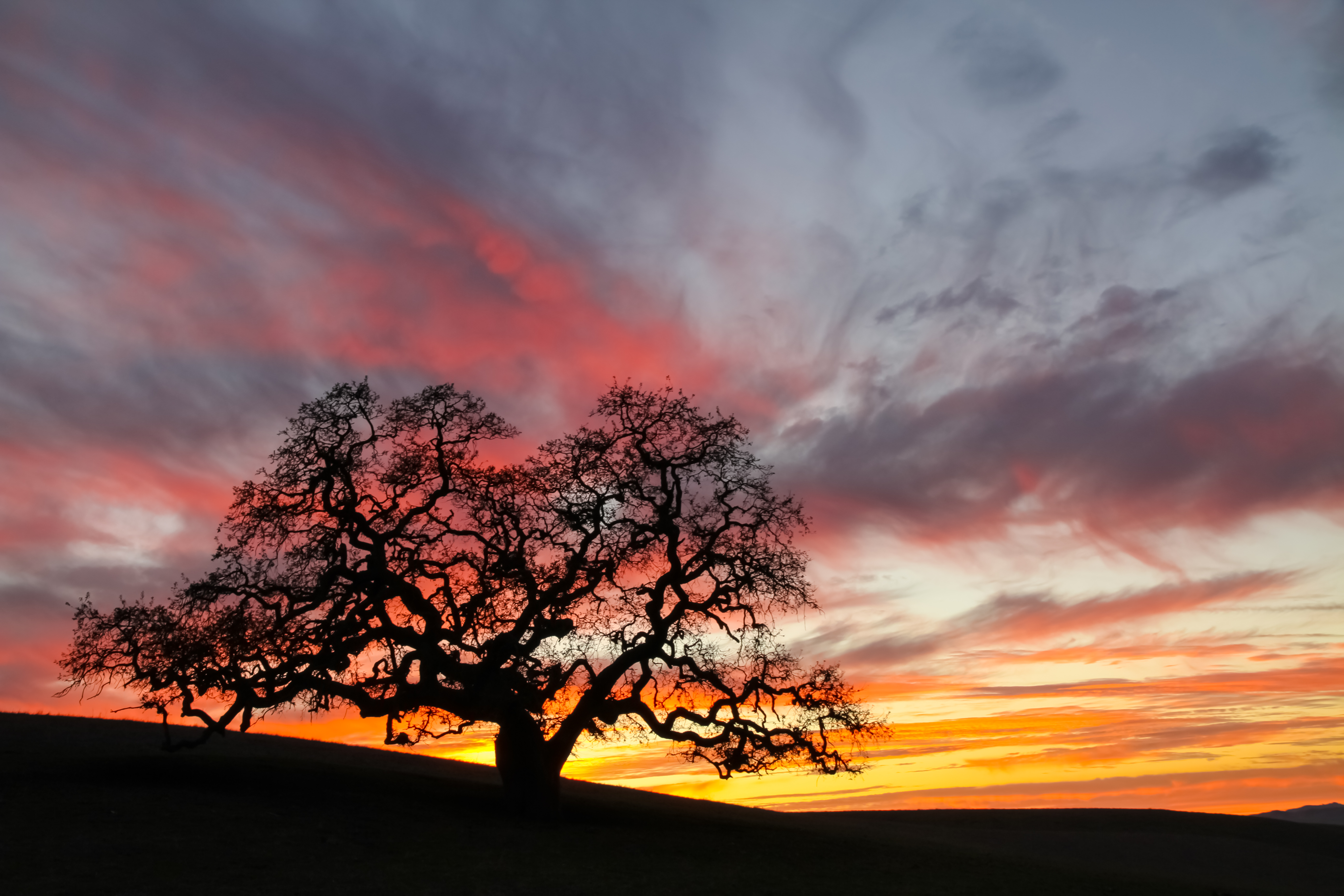
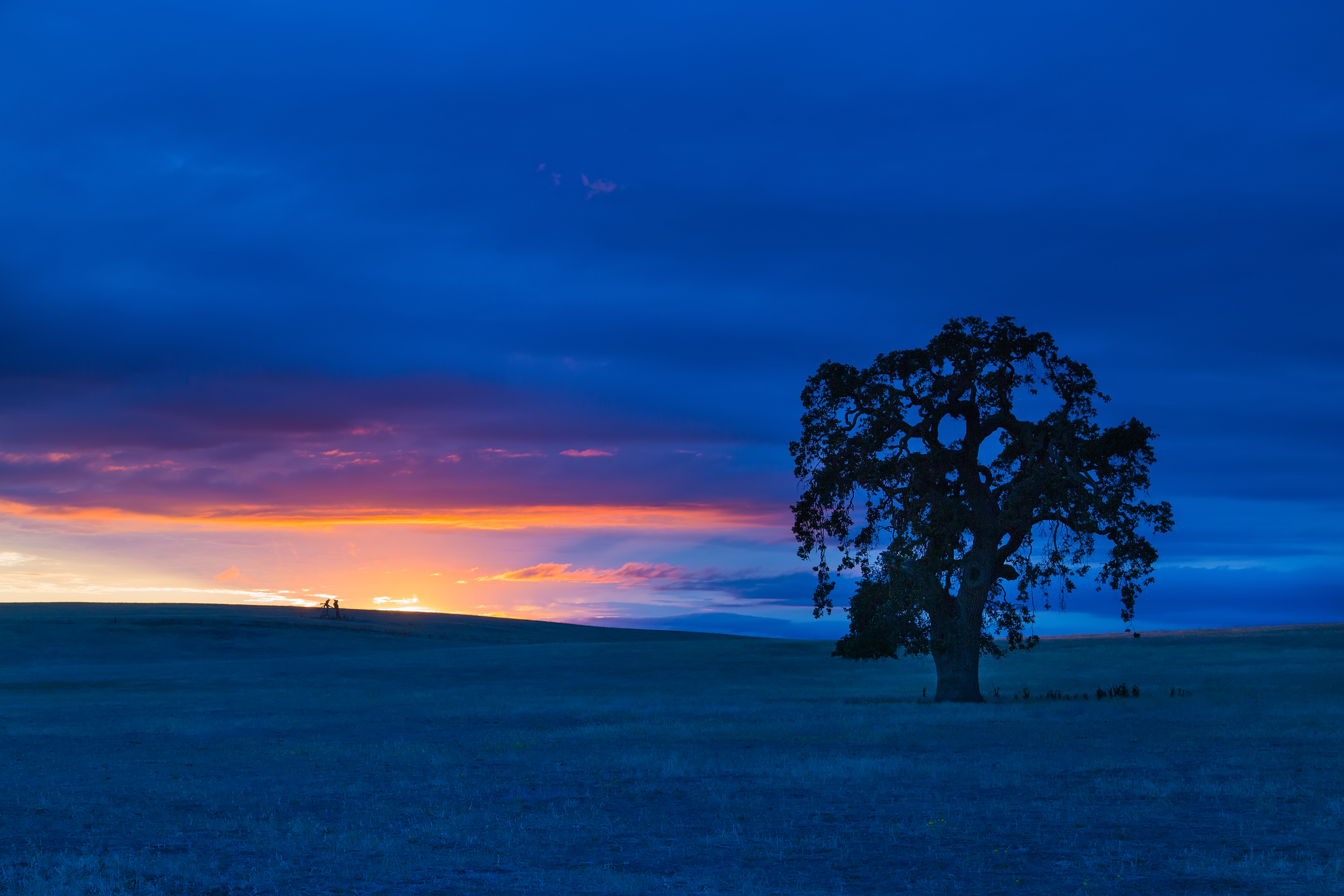
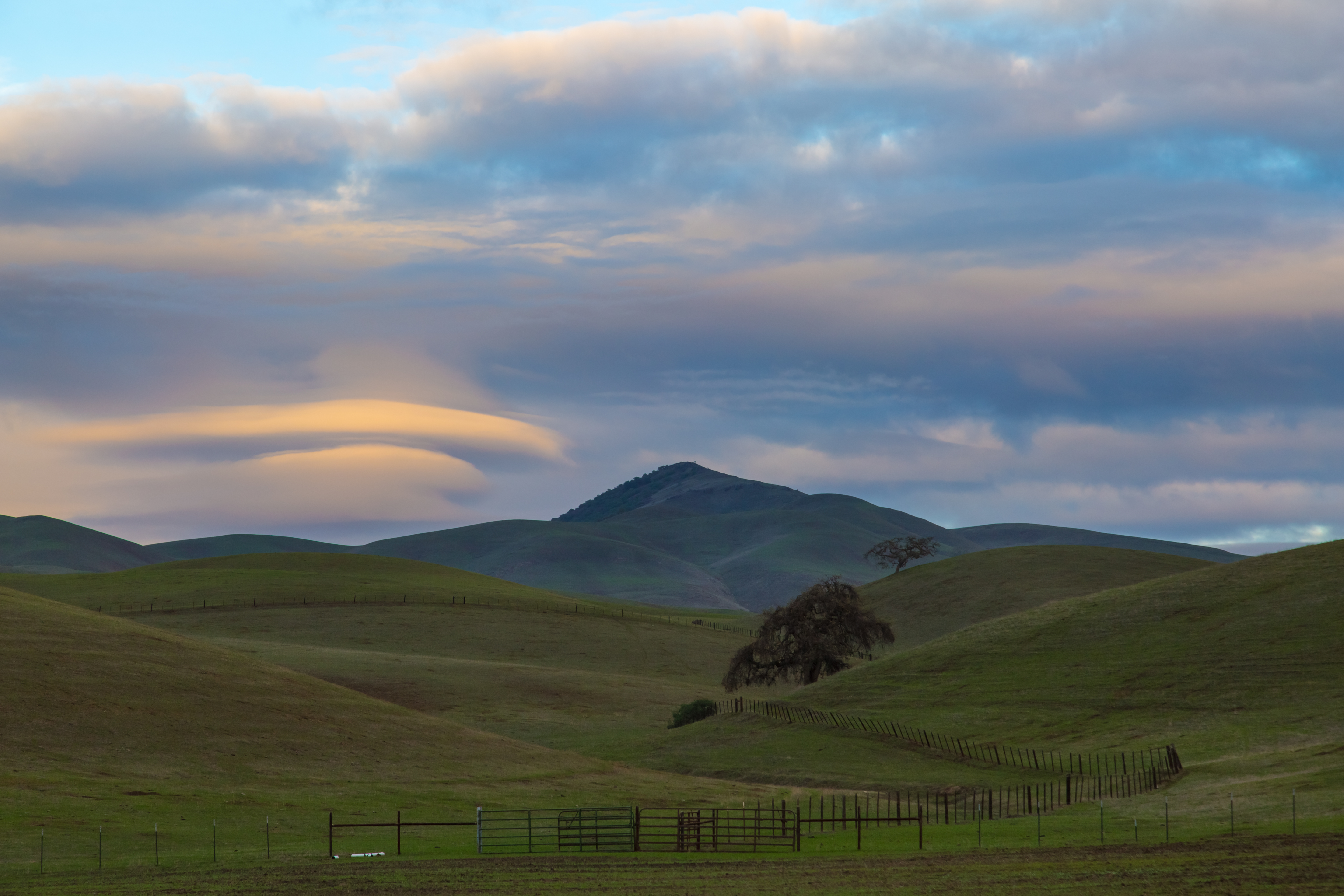
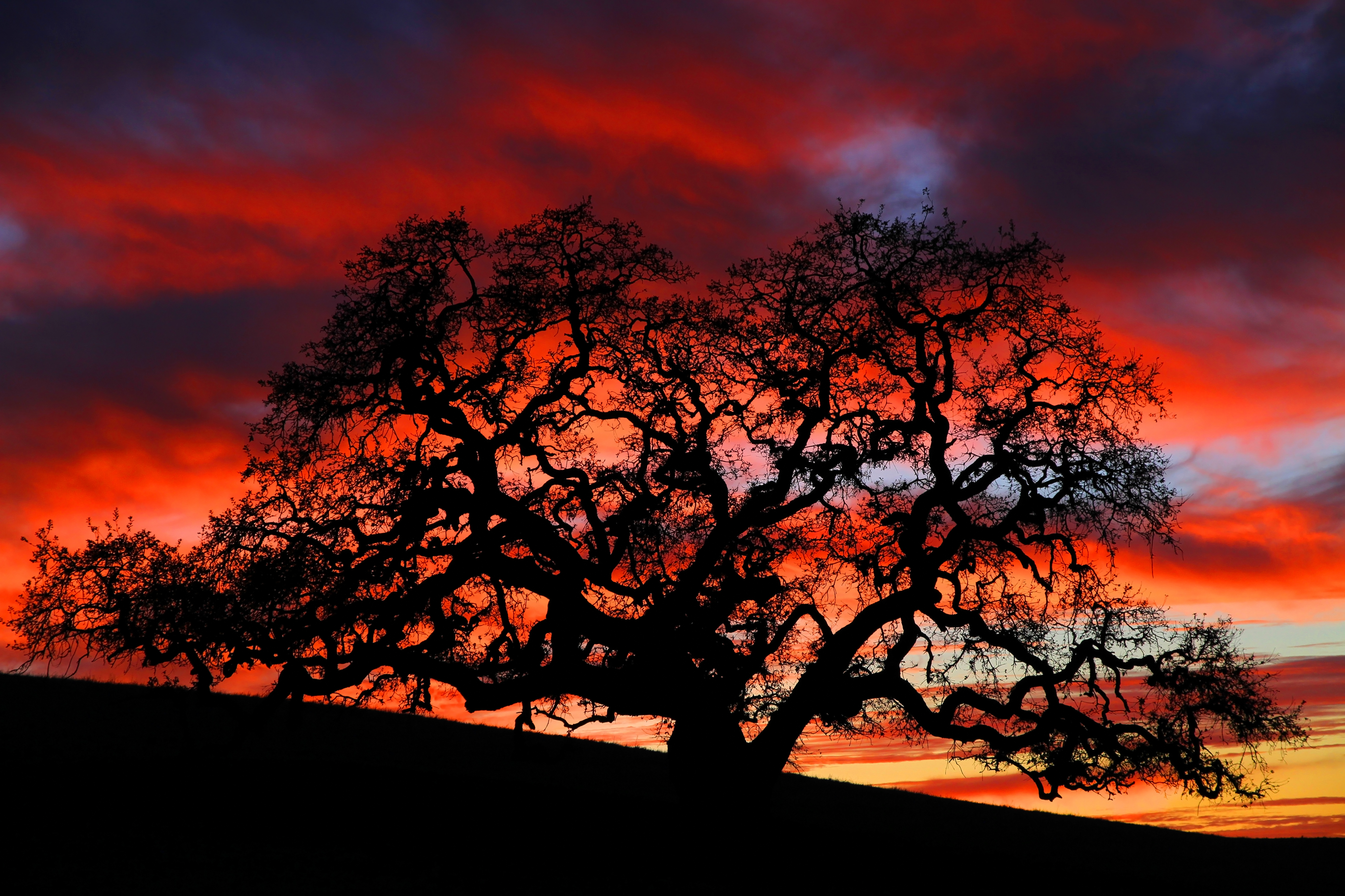
Oak On Fire
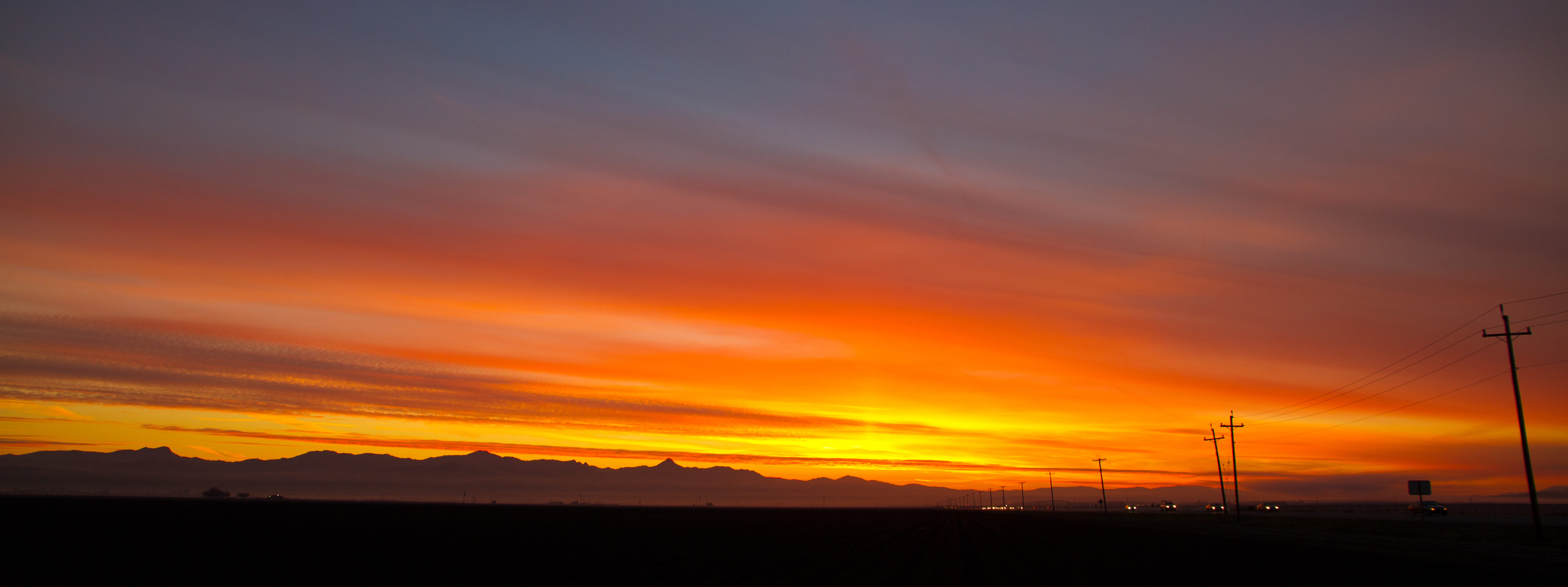
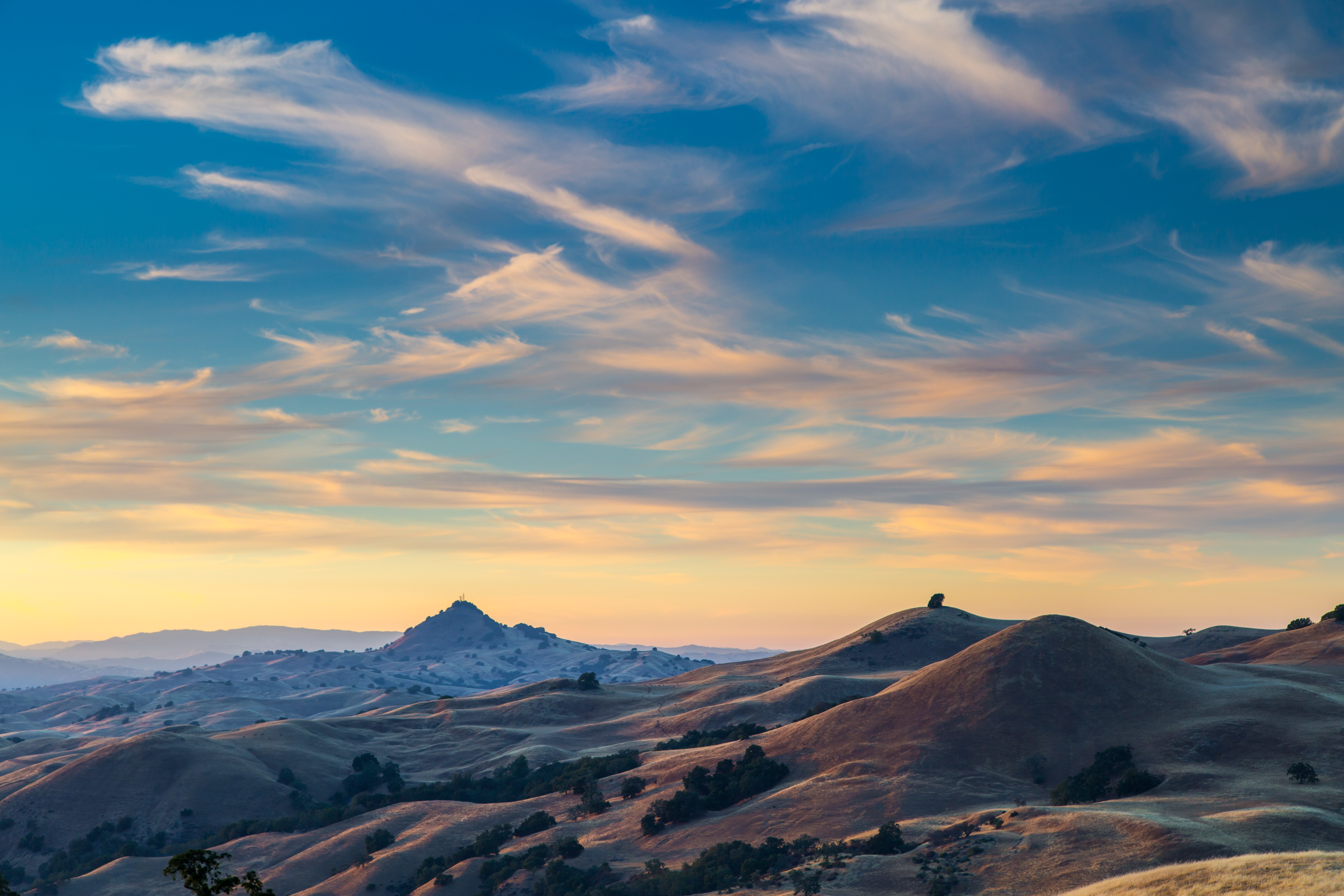
Ye Olde Sunset.
Wicked Skies
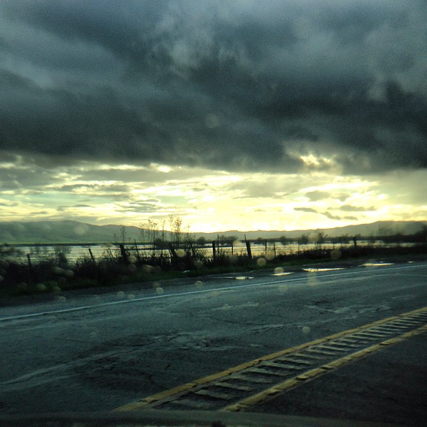
Sunset over the slough. Hello, Gilroy.

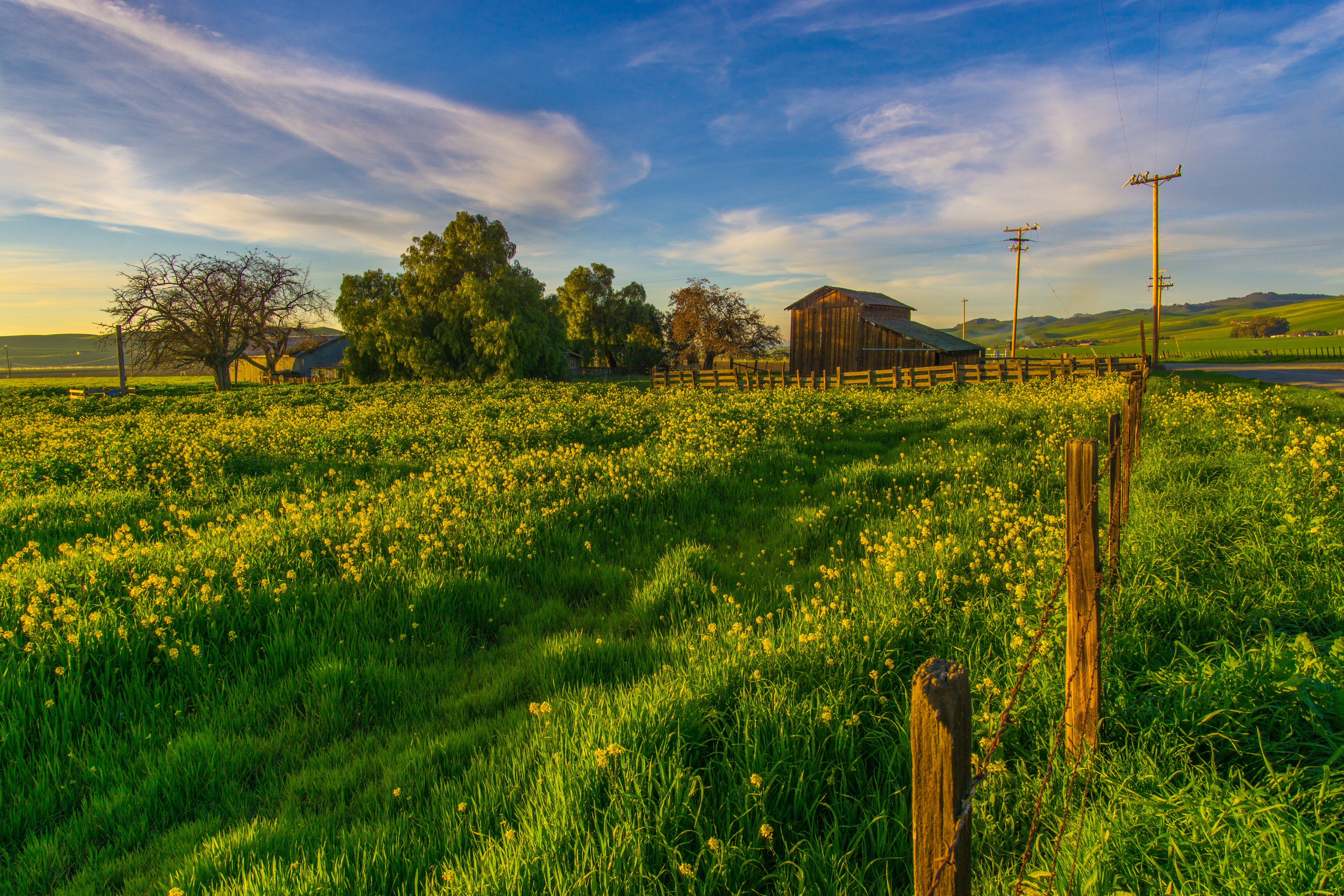
field of flowering grass, Hollister, April 2008 (1)
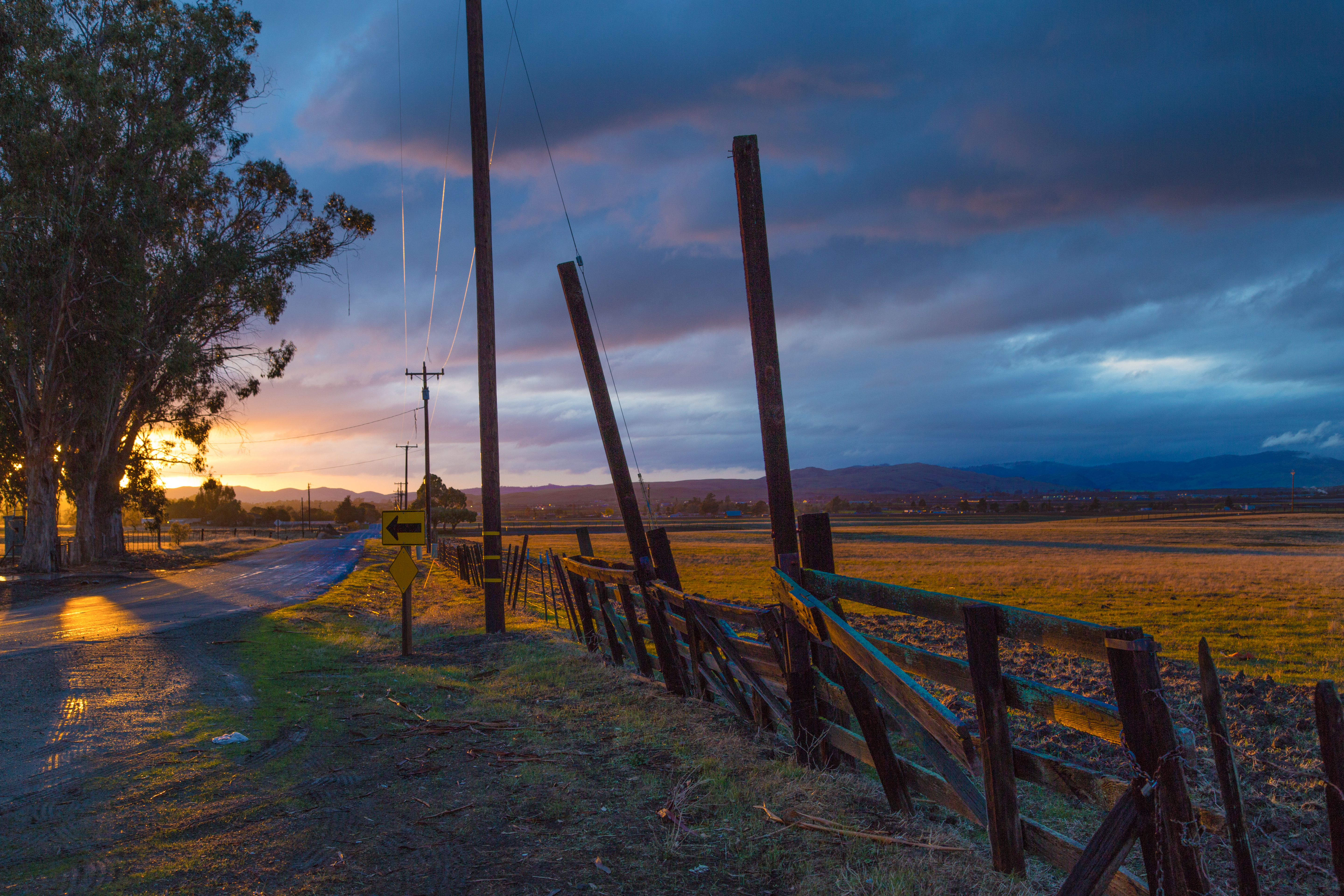
Leaving Hollister

amicable, Route 152 near Hollister and Gilroy, December 27, 2015

Semi-sonic
Just Watching
Just A Hint.
Getting ready
Last Light
Wake up everybody!

Great colors during The Los Lobos Concert.

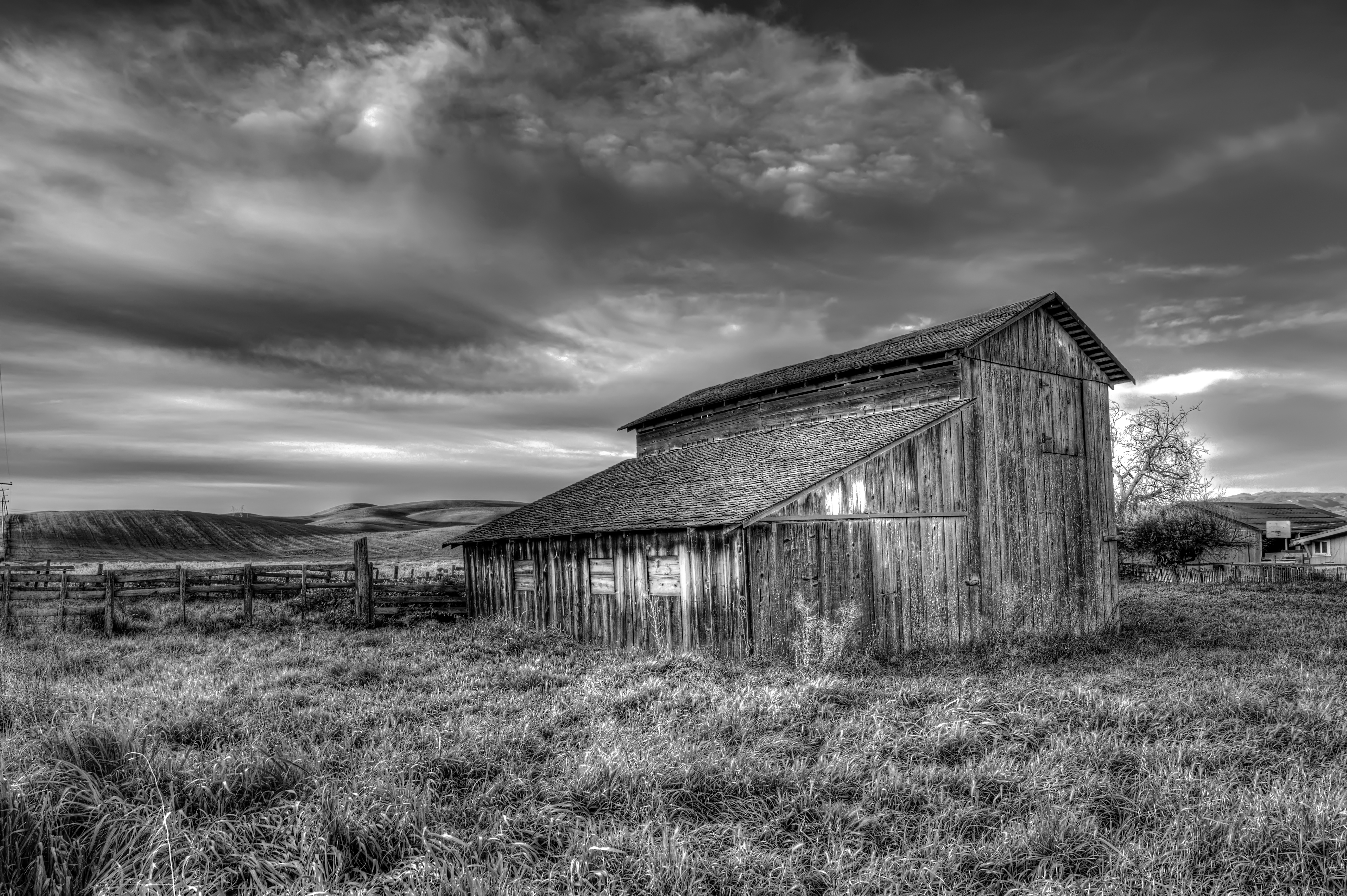
Farm in the desert - Hollister California
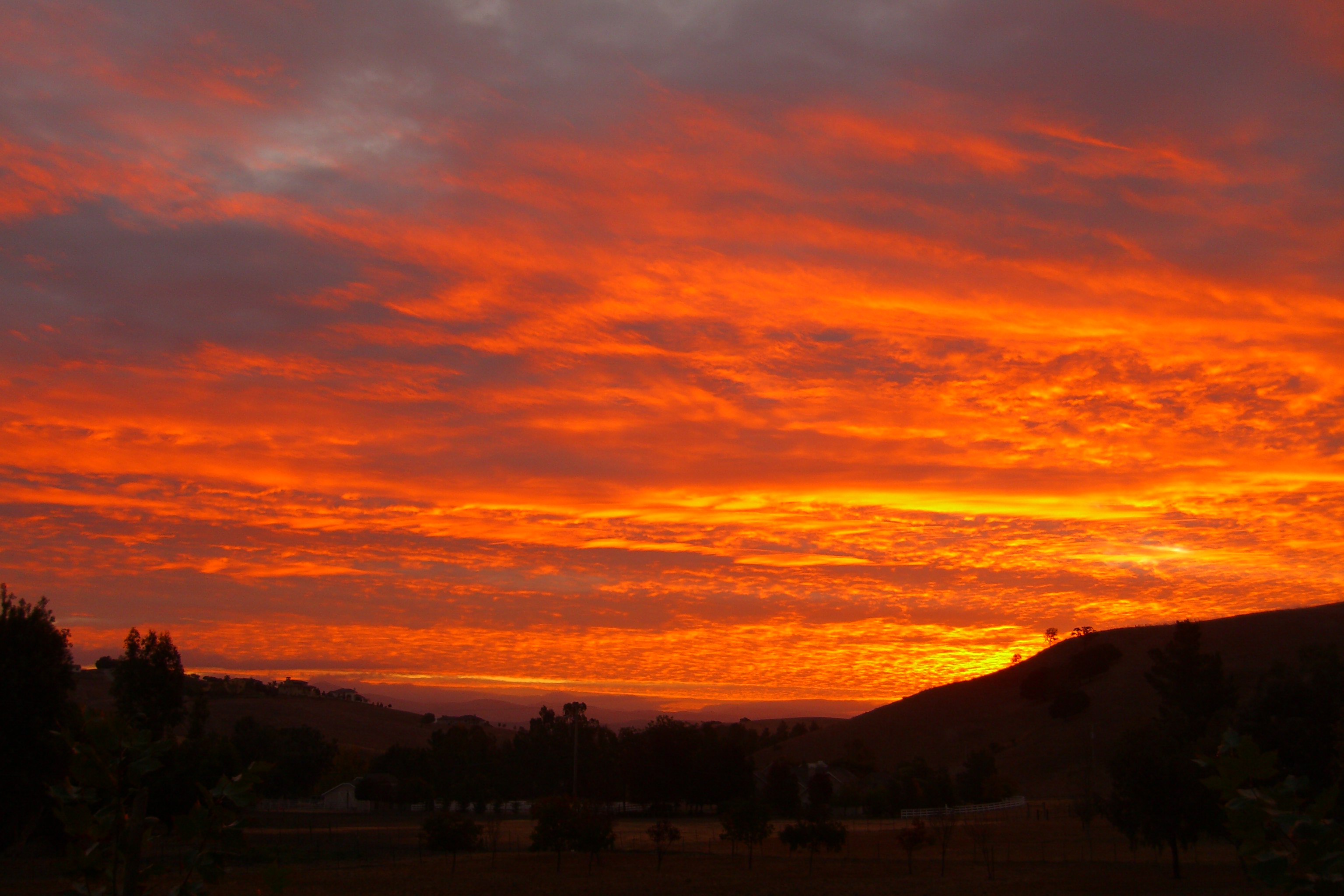
On Fire
Standing Strong
San Jose-Sunnyvale-Santa Clara, CA, CA, 美國的地圖
搜索其他地方的日出日落時間
附近地點
Pacheco Pass Hwy, Gilroy, CA 美國
Fairview Rd, Hollister, CA 美國
Pacheco Pass Hwy, Hollister, CA 美國Casa De Fruta
Frazier Lake Rd, Hollister, CA 美國
Daniel Ct, Gilroy, CA 美國
Pacheco Pass Hwy, Gilroy, CA 美國
El Camino Real, Gilroy, CA 美國
US-, San Juan Bautista, CA 美國
Manfroy Ranch Rd, Gilroy, CA 美國Manfroy Ranch Road
美國加利福尼亞州吉爾羅伊
Monterey Street, Gilroy, CA 美國
1st St, Gilroy, CA 美國
Muraoka Dr, Gilroy, CA 美國
Byers St, Gilroy, CA 美國Byers Street
Crawford Dr, Gilroy, CA 美國Team Patereau Property Management
Church Ave, San Martin, CA 美國
Church Ave, San Martin, CA 美國
Hecker Pass Rd, Gilroy, CA 美國
1st St, Gilroy, CA 美國
美國加利福尼亞聖馬丁San Martin Airport
最近搜索
- Bilohirs'k的日出日落時間表
- Nedre Storvollen, Kvaløysletta, Norway的日出日落時間表
- Unnamed Road, Respublika Severnaya Osetiya — Alaniya, 俄羅斯的日出日落時間表
- Herbage Dr, Gulfport, MS 美國的日出日落時間表
- Pointe-au-Père, Rimouski, QC, 加拿大的日出日落時間表
- -, Japan的日出日落時間表
- End of Belair Road, Long Bay, Bridgetown 巴貝多Wyndham Grand Barbados Sam Lords Castle All Inclusive Re的日出日落時間表
- 日本〒- Hokkaido, Sapporo, Chuo Ward, Minami 2 Jōnishi, 5-chōme−6−1 狸小路5丁目内Satsugeki的日出日落時間表
- Feixiang District, Handan, Hebei, China的日出日落時間表
- 中國安徽省合肥市蜀山區合肥高新區的日出日落時間表