美國馬里蘭州安妮女王縣的日出日落時間表
Location: 美國 > 馬里蘭州 >
時區:
America/New_York
當地時間:
2024-04-18 03:57:52
經度:
-76.1319953
緯度:
39.0263572
今天日出時間:
06:22:06 AM
今天日落時間:
07:45:14 PM
今天日照時長:
13h 23m 8s
明天日出時間:
06:20:42 AM
明天日落時間:
07:46:13 PM
明天日照時長:
13h 25m 31s
顯示所有日期
| 日期 | 日出 | 日落 | 日照時長 |
|---|---|---|---|
| 2024年01月01日 | 07:23:28 AM | 04:53:06 PM | 9h 29m 38s |
| 2024年01月02日 | 07:23:34 AM | 04:53:56 PM | 9h 30m 22s |
| 2024年01月03日 | 07:23:38 AM | 04:54:47 PM | 9h 31m 9s |
| 2024年01月04日 | 07:23:39 AM | 04:55:40 PM | 9h 32m 1s |
| 2024年01月05日 | 07:23:39 AM | 04:56:34 PM | 9h 32m 55s |
| 2024年01月06日 | 07:23:36 AM | 04:57:29 PM | 9h 33m 53s |
| 2024年01月07日 | 07:23:32 AM | 04:58:25 PM | 9h 34m 53s |
| 2024年01月08日 | 07:23:25 AM | 04:59:23 PM | 9h 35m 58s |
| 2024年01月09日 | 07:23:15 AM | 05:00:21 PM | 9h 37m 6s |
| 2024年01月10日 | 07:23:04 AM | 05:01:21 PM | 9h 38m 17s |
| 2024年01月11日 | 07:22:51 AM | 05:02:22 PM | 9h 39m 31s |
| 2024年01月12日 | 07:22:35 AM | 05:03:23 PM | 9h 40m 48s |
| 2024年01月13日 | 07:22:18 AM | 05:04:25 PM | 9h 42m 7s |
| 2024年01月14日 | 07:21:58 AM | 05:05:29 PM | 9h 43m 31s |
| 2024年01月15日 | 07:21:36 AM | 05:06:33 PM | 9h 44m 57s |
| 2024年01月16日 | 07:21:12 AM | 05:07:37 PM | 9h 46m 25s |
| 2024年01月17日 | 07:20:46 AM | 05:08:43 PM | 9h 47m 57s |
| 2024年01月18日 | 07:20:18 AM | 05:09:49 PM | 9h 49m 31s |
| 2024年01月19日 | 07:19:48 AM | 05:10:55 PM | 9h 51m 7s |
| 2024年01月20日 | 07:19:16 AM | 05:12:02 PM | 9h 52m 46s |
| 2024年01月21日 | 07:18:42 AM | 05:13:10 PM | 9h 54m 28s |
| 2024年01月22日 | 07:18:06 AM | 05:14:17 PM | 9h 56m 11s |
| 2024年01月23日 | 07:17:28 AM | 05:15:26 PM | 9h 57m 58s |
| 2024年01月24日 | 07:16:48 AM | 05:16:34 PM | 9h 59m 46s |
| 2024年01月25日 | 07:16:07 AM | 05:17:43 PM | 10h 1m 36s |
| 2024年01月26日 | 07:15:23 AM | 05:18:53 PM | 10h 3m 30s |
| 2024年01月27日 | 07:14:38 AM | 05:20:02 PM | 10h 5m 24s |
| 2024年01月28日 | 07:13:51 AM | 05:21:11 PM | 10h 7m 20s |
| 2024年01月29日 | 07:13:02 AM | 05:22:21 PM | 10h 9m 19s |
| 2024年01月30日 | 07:12:11 AM | 05:23:31 PM | 10h 11m 20s |
| 2024年01月31日 | 07:11:19 AM | 05:24:41 PM | 10h 13m 22s |
| 2024年02月01日 | 07:10:25 AM | 05:25:51 PM | 10h 15m 26s |
| 2024年02月02日 | 07:09:29 AM | 05:27:01 PM | 10h 17m 32s |
| 2024年02月03日 | 07:08:32 AM | 05:28:11 PM | 10h 19m 39s |
| 2024年02月04日 | 07:07:33 AM | 05:29:20 PM | 10h 21m 47s |
| 2024年02月05日 | 07:06:33 AM | 05:30:30 PM | 10h 23m 57s |
| 2024年02月06日 | 07:05:31 AM | 05:31:40 PM | 10h 26m 9s |
| 2024年02月07日 | 07:04:28 AM | 05:32:49 PM | 10h 28m 21s |
| 2024年02月08日 | 07:03:23 AM | 05:33:59 PM | 10h 30m 36s |
| 2024年02月09日 | 07:02:17 AM | 05:35:08 PM | 10h 32m 51s |
| 2024年02月10日 | 07:01:09 AM | 05:36:17 PM | 10h 35m 8s |
| 2024年02月11日 | 07:00:00 AM | 05:37:26 PM | 10h 37m 26s |
| 2024年02月12日 | 06:58:50 AM | 05:38:34 PM | 10h 39m 44s |
| 2024年02月13日 | 06:57:39 AM | 05:39:43 PM | 10h 42m 4s |
| 2024年02月14日 | 06:56:26 AM | 05:40:51 PM | 10h 44m 25s |
| 2024年02月15日 | 06:55:12 AM | 05:41:59 PM | 10h 46m 47s |
| 2024年02月16日 | 06:53:57 AM | 05:43:06 PM | 10h 49m 9s |
| 2024年02月17日 | 06:52:41 AM | 05:44:14 PM | 10h 51m 33s |
| 2024年02月18日 | 06:51:24 AM | 05:45:21 PM | 10h 53m 57s |
| 2024年02月19日 | 06:50:06 AM | 05:46:27 PM | 10h 56m 21s |
| 2024年02月20日 | 06:48:46 AM | 05:47:34 PM | 10h 58m 48s |
| 2024年02月21日 | 06:47:26 AM | 05:48:40 PM | 11h 1m 14s |
| 2024年02月22日 | 06:46:05 AM | 05:49:46 PM | 11h 3m 41s |
| 2024年02月23日 | 06:44:43 AM | 05:50:51 PM | 11h 6m 8s |
| 2024年02月24日 | 06:43:20 AM | 05:51:56 PM | 11h 8m 36s |
| 2024年02月25日 | 06:41:56 AM | 05:53:01 PM | 11h 11m 5s |
| 2024年02月26日 | 06:40:31 AM | 05:54:06 PM | 11h 13m 35s |
| 2024年02月27日 | 06:39:05 AM | 05:55:10 PM | 11h 16m 5s |
| 2024年02月28日 | 06:37:39 AM | 05:56:14 PM | 11h 18m 35s |
| 2024年02月29日 | 06:36:12 AM | 05:57:18 PM | 11h 21m 6s |
| 2024年03月01日 | 06:34:45 AM | 05:58:21 PM | 11h 23m 36s |
| 2024年03月02日 | 06:33:16 AM | 05:59:24 PM | 11h 26m 8s |
| 2024年03月03日 | 06:31:47 AM | 06:00:27 PM | 11h 28m 40s |
| 2024年03月04日 | 06:30:18 AM | 06:01:29 PM | 11h 31m 11s |
| 2024年03月05日 | 06:28:48 AM | 06:02:31 PM | 11h 33m 43s |
| 2024年03月06日 | 06:27:17 AM | 06:03:33 PM | 11h 36m 16s |
| 2024年03月07日 | 06:25:46 AM | 06:04:35 PM | 11h 38m 49s |
| 2024年03月08日 | 06:24:14 AM | 06:05:36 PM | 11h 41m 22s |
| 2024年03月09日 | 06:22:42 AM | 06:06:38 PM | 11h 43m 56s |
| 2024年03月10日 | 07:21:14 AM | 07:07:36 PM | 11h 46m 22s |
| 2024年03月11日 | 07:19:41 AM | 07:08:37 PM | 11h 48m 56s |
| 2024年03月12日 | 07:18:08 AM | 07:09:37 PM | 11h 51m 29s |
| 2024年03月13日 | 07:16:35 AM | 07:10:37 PM | 11h 54m 2s |
| 2024年03月14日 | 07:15:01 AM | 07:11:37 PM | 11h 56m 36s |
| 2024年03月15日 | 07:13:27 AM | 07:12:37 PM | 11h 59m 10s |
| 2024年03月16日 | 07:11:53 AM | 07:13:37 PM | 12h 1m 44s |
| 2024年03月17日 | 07:10:19 AM | 07:14:36 PM | 12h 4m 17s |
| 2024年03月18日 | 07:08:44 AM | 07:15:36 PM | 12h 6m 52s |
| 2024年03月19日 | 07:07:10 AM | 07:16:35 PM | 12h 9m 25s |
| 2024年03月20日 | 07:05:35 AM | 07:17:34 PM | 12h 11m 59s |
| 2024年03月21日 | 07:04:00 AM | 07:18:33 PM | 12h 14m 33s |
| 2024年03月22日 | 07:02:25 AM | 07:19:31 PM | 12h 17m 6s |
| 2024年03月23日 | 07:00:51 AM | 07:20:30 PM | 12h 19m 39s |
| 2024年03月24日 | 06:59:16 AM | 07:21:29 PM | 12h 22m 13s |
| 2024年03月25日 | 06:57:41 AM | 07:22:27 PM | 12h 24m 46s |
| 2024年03月26日 | 06:56:06 AM | 07:23:26 PM | 12h 27m 20s |
| 2024年03月27日 | 06:54:32 AM | 07:24:24 PM | 12h 29m 52s |
| 2024年03月28日 | 06:52:58 AM | 07:25:22 PM | 12h 32m 24s |
| 2024年03月29日 | 06:51:23 AM | 07:26:20 PM | 12h 34m 57s |
| 2024年03月30日 | 06:49:50 AM | 07:27:18 PM | 12h 37m 28s |
| 2024年03月31日 | 06:48:16 AM | 07:28:17 PM | 12h 40m 1s |
| 2024年04月01日 | 06:46:42 AM | 07:29:15 PM | 12h 42m 33s |
| 2024年04月02日 | 06:45:09 AM | 07:30:13 PM | 12h 45m 4s |
| 2024年04月03日 | 06:43:36 AM | 07:31:11 PM | 12h 47m 35s |
| 2024年04月04日 | 06:42:04 AM | 07:32:09 PM | 12h 50m 5s |
| 2024年04月05日 | 06:40:32 AM | 07:33:07 PM | 12h 52m 35s |
| 2024年04月06日 | 06:39:00 AM | 07:34:05 PM | 12h 55m 5s |
| 2024年04月07日 | 06:37:29 AM | 07:35:03 PM | 12h 57m 34s |
| 2024年04月08日 | 06:35:58 AM | 07:36:01 PM | 13h 0m 3s |
| 2024年04月09日 | 06:34:28 AM | 07:36:59 PM | 13h 2m 31s |
| 2024年04月10日 | 06:32:58 AM | 07:37:57 PM | 13h 4m 59s |
| 2024年04月11日 | 06:31:29 AM | 07:38:56 PM | 13h 7m 27s |
| 2024年04月12日 | 06:30:01 AM | 07:39:54 PM | 13h 9m 53s |
| 2024年04月13日 | 06:28:33 AM | 07:40:52 PM | 13h 12m 19s |
| 2024年04月14日 | 06:27:06 AM | 07:41:50 PM | 13h 14m 44s |
| 2024年04月15日 | 06:25:39 AM | 07:42:49 PM | 13h 17m 10s |
| 2024年04月16日 | 06:24:14 AM | 07:43:47 PM | 13h 19m 33s |
| 2024年04月17日 | 06:22:48 AM | 07:44:45 PM | 13h 21m 57s |
| 2024年04月18日 | 06:21:24 AM | 07:45:44 PM | 13h 24m 20s |
| 2024年04月19日 | 06:20:01 AM | 07:46:42 PM | 13h 26m 41s |
| 2024年04月20日 | 06:18:38 AM | 07:47:40 PM | 13h 29m 2s |
| 2024年04月21日 | 06:17:17 AM | 07:48:39 PM | 13h 31m 22s |
| 2024年04月22日 | 06:15:56 AM | 07:49:37 PM | 13h 33m 41s |
| 2024年04月23日 | 06:14:36 AM | 07:50:36 PM | 13h 36m 0s |
| 2024年04月24日 | 06:13:17 AM | 07:51:34 PM | 13h 38m 17s |
| 2024年04月25日 | 06:11:59 AM | 07:52:33 PM | 13h 40m 34s |
| 2024年04月26日 | 06:10:42 AM | 07:53:31 PM | 13h 42m 49s |
| 2024年04月27日 | 06:09:26 AM | 07:54:29 PM | 13h 45m 3s |
| 2024年04月28日 | 06:08:12 AM | 07:55:28 PM | 13h 47m 16s |
| 2024年04月29日 | 06:06:58 AM | 07:56:26 PM | 13h 49m 28s |
| 2024年04月30日 | 06:05:46 AM | 07:57:24 PM | 13h 51m 38s |
| 2024年05月01日 | 06:04:35 AM | 07:58:22 PM | 13h 53m 47s |
| 2024年05月02日 | 06:03:25 AM | 07:59:20 PM | 13h 55m 55s |
| 2024年05月03日 | 06:02:16 AM | 08:00:17 PM | 13h 58m 1s |
| 2024年05月04日 | 06:01:08 AM | 08:01:15 PM | 14h 0m 7s |
| 2024年05月05日 | 06:00:02 AM | 08:02:12 PM | 14h 2m 10s |
| 2024年05月06日 | 05:58:57 AM | 08:03:10 PM | 14h 4m 13s |
| 2024年05月07日 | 05:57:54 AM | 08:04:07 PM | 14h 6m 13s |
| 2024年05月08日 | 05:56:52 AM | 08:05:03 PM | 14h 8m 11s |
| 2024年05月09日 | 05:55:51 AM | 08:06:00 PM | 14h 10m 9s |
| 2024年05月10日 | 05:54:52 AM | 08:06:56 PM | 14h 12m 4s |
| 2024年05月11日 | 05:53:54 AM | 08:07:52 PM | 14h 13m 58s |
| 2024年05月12日 | 05:52:58 AM | 08:08:47 PM | 14h 15m 49s |
| 2024年05月13日 | 05:52:03 AM | 08:09:42 PM | 14h 17m 39s |
| 2024年05月14日 | 05:51:10 AM | 08:10:37 PM | 14h 19m 27s |
| 2024年05月15日 | 05:50:18 AM | 08:11:31 PM | 14h 21m 13s |
| 2024年05月16日 | 05:49:28 AM | 08:12:25 PM | 14h 22m 57s |
| 2024年05月17日 | 05:48:40 AM | 08:13:18 PM | 14h 24m 38s |
| 2024年05月18日 | 05:47:53 AM | 08:14:11 PM | 14h 26m 18s |
| 2024年05月19日 | 05:47:08 AM | 08:15:03 PM | 14h 27m 55s |
| 2024年05月20日 | 05:46:25 AM | 08:15:54 PM | 14h 29m 29s |
| 2024年05月21日 | 05:45:43 AM | 08:16:45 PM | 14h 31m 2s |
| 2024年05月22日 | 05:45:03 AM | 08:17:35 PM | 14h 32m 32s |
| 2024年05月23日 | 05:44:25 AM | 08:18:25 PM | 14h 34m 0s |
| 2024年05月24日 | 05:43:48 AM | 08:19:13 PM | 14h 35m 25s |
| 2024年05月25日 | 05:43:14 AM | 08:20:01 PM | 14h 36m 47s |
| 2024年05月26日 | 05:42:41 AM | 08:20:48 PM | 14h 38m 7s |
| 2024年05月27日 | 05:42:10 AM | 08:21:34 PM | 14h 39m 24s |
| 2024年05月28日 | 05:41:41 AM | 08:22:19 PM | 14h 40m 38s |
| 2024年05月29日 | 05:41:14 AM | 08:23:03 PM | 14h 41m 49s |
| 2024年05月30日 | 05:40:48 AM | 08:23:46 PM | 14h 42m 58s |
| 2024年05月31日 | 05:40:24 AM | 08:24:28 PM | 14h 44m 4s |
| 2024年06月01日 | 05:40:03 AM | 08:25:09 PM | 14h 45m 6s |
| 2024年06月02日 | 05:39:43 AM | 08:25:49 PM | 14h 46m 6s |
| 2024年06月03日 | 05:39:25 AM | 08:26:28 PM | 14h 47m 3s |
| 2024年06月04日 | 05:39:09 AM | 08:27:05 PM | 14h 47m 56s |
| 2024年06月05日 | 05:38:55 AM | 08:27:41 PM | 14h 48m 46s |
| 2024年06月06日 | 05:38:42 AM | 08:28:16 PM | 14h 49m 34s |
| 2024年06月07日 | 05:38:32 AM | 08:28:49 PM | 14h 50m 17s |
| 2024年06月08日 | 05:38:23 AM | 08:29:22 PM | 14h 50m 59s |
| 2024年06月09日 | 05:38:16 AM | 08:29:52 PM | 14h 51m 36s |
| 2024年06月10日 | 05:38:12 AM | 08:30:22 PM | 14h 52m 10s |
| 2024年06月11日 | 05:38:09 AM | 08:30:49 PM | 14h 52m 40s |
| 2024年06月12日 | 05:38:07 AM | 08:31:16 PM | 14h 53m 9s |
| 2024年06月13日 | 05:38:08 AM | 08:31:40 PM | 14h 53m 32s |
| 2024年06月14日 | 05:38:11 AM | 08:32:04 PM | 14h 53m 53s |
| 2024年06月15日 | 05:38:15 AM | 08:32:25 PM | 14h 54m 10s |
| 2024年06月16日 | 05:38:21 AM | 08:32:45 PM | 14h 54m 24s |
| 2024年06月17日 | 05:38:29 AM | 08:33:03 PM | 14h 54m 34s |
| 2024年06月18日 | 05:38:39 AM | 08:33:20 PM | 14h 54m 41s |
| 2024年06月19日 | 05:38:50 AM | 08:33:34 PM | 14h 54m 44s |
| 2024年06月20日 | 05:39:03 AM | 08:33:47 PM | 14h 54m 44s |
| 2024年06月21日 | 05:39:18 AM | 08:33:59 PM | 14h 54m 41s |
| 2024年06月22日 | 05:39:34 AM | 08:34:08 PM | 14h 54m 34s |
| 2024年06月23日 | 05:39:53 AM | 08:34:16 PM | 14h 54m 23s |
| 2024年06月24日 | 05:40:12 AM | 08:34:22 PM | 14h 54m 10s |
| 2024年06月25日 | 05:40:33 AM | 08:34:26 PM | 14h 53m 53s |
| 2024年06月26日 | 05:40:56 AM | 08:34:28 PM | 14h 53m 32s |
| 2024年06月27日 | 05:41:21 AM | 08:34:28 PM | 14h 53m 7s |
| 2024年06月28日 | 05:41:46 AM | 08:34:26 PM | 14h 52m 40s |
| 2024年06月29日 | 05:42:14 AM | 08:34:23 PM | 14h 52m 9s |
| 2024年06月30日 | 05:42:42 AM | 08:34:17 PM | 14h 51m 35s |
| 2024年07月01日 | 05:43:12 AM | 08:34:10 PM | 14h 50m 58s |
| 2024年07月02日 | 05:43:44 AM | 08:34:00 PM | 14h 50m 16s |
| 2024年07月03日 | 05:44:16 AM | 08:33:49 PM | 14h 49m 33s |
| 2024年07月04日 | 05:44:50 AM | 08:33:36 PM | 14h 48m 46s |
| 2024年07月05日 | 05:45:25 AM | 08:33:21 PM | 14h 47m 56s |
| 2024年07月06日 | 05:46:01 AM | 08:33:04 PM | 14h 47m 3s |
| 2024年07月07日 | 05:46:39 AM | 08:32:45 PM | 14h 46m 6s |
| 2024年07月08日 | 05:47:17 AM | 08:32:24 PM | 14h 45m 7s |
| 2024年07月09日 | 05:47:57 AM | 08:32:01 PM | 14h 44m 4s |
| 2024年07月10日 | 05:48:38 AM | 08:31:37 PM | 14h 42m 59s |
| 2024年07月11日 | 05:49:19 AM | 08:31:10 PM | 14h 41m 51s |
| 2024年07月12日 | 05:50:02 AM | 08:30:42 PM | 14h 40m 40s |
| 2024年07月13日 | 05:50:45 AM | 08:30:11 PM | 14h 39m 26s |
| 2024年07月14日 | 05:51:29 AM | 08:29:39 PM | 14h 38m 10s |
| 2024年07月15日 | 05:52:14 AM | 08:29:05 PM | 14h 36m 51s |
| 2024年07月16日 | 05:53:00 AM | 08:28:29 PM | 14h 35m 29s |
| 2024年07月17日 | 05:53:47 AM | 08:27:52 PM | 14h 34m 5s |
| 2024年07月18日 | 05:54:34 AM | 08:27:12 PM | 14h 32m 38s |
| 2024年07月19日 | 05:55:22 AM | 08:26:31 PM | 14h 31m 9s |
| 2024年07月20日 | 05:56:11 AM | 08:25:48 PM | 14h 29m 37s |
| 2024年07月21日 | 05:57:00 AM | 08:25:03 PM | 14h 28m 3s |
| 2024年07月22日 | 05:57:50 AM | 08:24:17 PM | 14h 26m 27s |
| 2024年07月23日 | 05:58:40 AM | 08:23:29 PM | 14h 24m 49s |
| 2024年07月24日 | 05:59:31 AM | 08:22:39 PM | 14h 23m 8s |
| 2024年07月25日 | 06:00:22 AM | 08:21:47 PM | 14h 21m 25s |
| 2024年07月26日 | 06:01:14 AM | 08:20:54 PM | 14h 19m 40s |
| 2024年07月27日 | 06:02:06 AM | 08:20:00 PM | 14h 17m 54s |
| 2024年07月28日 | 06:02:58 AM | 08:19:04 PM | 14h 16m 6s |
| 2024年07月29日 | 06:03:51 AM | 08:18:06 PM | 14h 14m 15s |
| 2024年07月30日 | 06:04:44 AM | 08:17:07 PM | 14h 12m 23s |
| 2024年07月31日 | 06:05:37 AM | 08:16:06 PM | 14h 10m 29s |
| 2024年08月01日 | 06:06:30 AM | 08:15:04 PM | 14h 8m 34s |
| 2024年08月02日 | 06:07:24 AM | 08:14:00 PM | 14h 6m 36s |
| 2024年08月03日 | 06:08:18 AM | 08:12:55 PM | 14h 4m 37s |
| 2024年08月04日 | 06:09:12 AM | 08:11:49 PM | 14h 2m 37s |
| 2024年08月05日 | 06:10:06 AM | 08:10:41 PM | 14h 0m 35s |
| 2024年08月06日 | 06:11:00 AM | 08:09:32 PM | 13h 58m 32s |
| 2024年08月07日 | 06:11:55 AM | 08:08:21 PM | 13h 56m 26s |
| 2024年08月08日 | 06:12:49 AM | 08:07:10 PM | 13h 54m 21s |
| 2024年08月09日 | 06:13:44 AM | 08:05:57 PM | 13h 52m 13s |
| 2024年08月10日 | 06:14:39 AM | 08:04:43 PM | 13h 50m 4s |
| 2024年08月11日 | 06:15:33 AM | 08:03:28 PM | 13h 47m 55s |
| 2024年08月12日 | 06:16:28 AM | 08:02:12 PM | 13h 45m 44s |
| 2024年08月13日 | 06:17:23 AM | 08:00:54 PM | 13h 43m 31s |
| 2024年08月14日 | 06:18:18 AM | 07:59:36 PM | 13h 41m 18s |
| 2024年08月15日 | 06:19:12 AM | 07:58:16 PM | 13h 39m 4s |
| 2024年08月16日 | 06:20:07 AM | 07:56:56 PM | 13h 36m 49s |
| 2024年08月17日 | 06:21:02 AM | 07:55:34 PM | 13h 34m 32s |
| 2024年08月18日 | 06:21:56 AM | 07:54:12 PM | 13h 32m 16s |
| 2024年08月19日 | 06:22:51 AM | 07:52:48 PM | 13h 29m 57s |
| 2024年08月20日 | 06:23:45 AM | 07:51:24 PM | 13h 27m 39s |
| 2024年08月21日 | 06:24:40 AM | 07:49:59 PM | 13h 25m 19s |
| 2024年08月22日 | 06:25:34 AM | 07:48:33 PM | 13h 22m 59s |
| 2024年08月23日 | 06:26:29 AM | 07:47:06 PM | 13h 20m 37s |
| 2024年08月24日 | 06:27:23 AM | 07:45:39 PM | 13h 18m 16s |
| 2024年08月25日 | 06:28:17 AM | 07:44:11 PM | 13h 15m 54s |
| 2024年08月26日 | 06:29:11 AM | 07:42:42 PM | 13h 13m 31s |
| 2024年08月27日 | 06:30:06 AM | 07:41:12 PM | 13h 11m 6s |
| 2024年08月28日 | 06:31:00 AM | 07:39:42 PM | 13h 8m 42s |
| 2024年08月29日 | 06:31:54 AM | 07:38:11 PM | 13h 6m 17s |
| 2024年08月30日 | 06:32:48 AM | 07:36:39 PM | 13h 3m 51s |
| 2024年08月31日 | 06:33:41 AM | 07:35:07 PM | 13h 1m 26s |
| 2024年09月01日 | 06:34:35 AM | 07:33:35 PM | 12h 59m 0s |
| 2024年09月02日 | 06:35:29 AM | 07:32:02 PM | 12h 56m 33s |
| 2024年09月03日 | 06:36:23 AM | 07:30:28 PM | 12h 54m 5s |
| 2024年09月04日 | 06:37:17 AM | 07:28:54 PM | 12h 51m 37s |
| 2024年09月05日 | 06:38:10 AM | 07:27:20 PM | 12h 49m 10s |
| 2024年09月06日 | 06:39:04 AM | 07:25:45 PM | 12h 46m 41s |
| 2024年09月07日 | 06:39:58 AM | 07:24:10 PM | 12h 44m 12s |
| 2024年09月08日 | 06:40:51 AM | 07:22:35 PM | 12h 41m 44s |
| 2024年09月09日 | 06:41:45 AM | 07:20:59 PM | 12h 39m 14s |
| 2024年09月10日 | 06:42:39 AM | 07:19:23 PM | 12h 36m 44s |
| 2024年09月11日 | 06:43:32 AM | 07:17:47 PM | 12h 34m 15s |
| 2024年09月12日 | 06:44:26 AM | 07:16:11 PM | 12h 31m 45s |
| 2024年09月13日 | 06:45:20 AM | 07:14:34 PM | 12h 29m 14s |
| 2024年09月14日 | 06:46:14 AM | 07:12:57 PM | 12h 26m 43s |
| 2024年09月15日 | 06:47:08 AM | 07:11:21 PM | 12h 24m 13s |
| 2024年09月16日 | 06:48:02 AM | 07:09:44 PM | 12h 21m 42s |
| 2024年09月17日 | 06:48:56 AM | 07:08:07 PM | 12h 19m 11s |
| 2024年09月18日 | 06:49:50 AM | 07:06:30 PM | 12h 16m 40s |
| 2024年09月19日 | 06:50:44 AM | 07:04:53 PM | 12h 14m 9s |
| 2024年09月20日 | 06:51:39 AM | 07:03:16 PM | 12h 11m 37s |
| 2024年09月21日 | 06:52:33 AM | 07:01:39 PM | 12h 9m 6s |
| 2024年09月22日 | 06:53:28 AM | 07:00:02 PM | 12h 6m 34s |
| 2024年09月23日 | 06:54:22 AM | 06:58:26 PM | 12h 4m 4s |
| 2024年09月24日 | 06:55:17 AM | 06:56:49 PM | 12h 1m 32s |
| 2024年09月25日 | 06:56:13 AM | 06:55:13 PM | 11h 59m 0s |
| 2024年09月26日 | 06:57:08 AM | 06:53:37 PM | 11h 56m 29s |
| 2024年09月27日 | 06:58:03 AM | 06:52:01 PM | 11h 53m 58s |
| 2024年09月28日 | 06:58:59 AM | 06:50:25 PM | 11h 51m 26s |
| 2024年09月29日 | 06:59:55 AM | 06:48:50 PM | 11h 48m 55s |
| 2024年09月30日 | 07:00:51 AM | 06:47:15 PM | 11h 46m 24s |
| 2024年10月01日 | 07:01:48 AM | 06:45:41 PM | 11h 43m 53s |
| 2024年10月02日 | 07:02:44 AM | 06:44:07 PM | 11h 41m 23s |
| 2024年10月03日 | 07:03:41 AM | 06:42:33 PM | 11h 38m 52s |
| 2024年10月04日 | 07:04:38 AM | 06:41:00 PM | 11h 36m 22s |
| 2024年10月05日 | 07:05:36 AM | 06:39:27 PM | 11h 33m 51s |
| 2024年10月06日 | 07:06:34 AM | 06:37:54 PM | 11h 31m 20s |
| 2024年10月07日 | 07:07:32 AM | 06:36:23 PM | 11h 28m 51s |
| 2024年10月08日 | 07:08:30 AM | 06:34:52 PM | 11h 26m 22s |
| 2024年10月09日 | 07:09:29 AM | 06:33:21 PM | 11h 23m 52s |
| 2024年10月10日 | 07:10:28 AM | 06:31:51 PM | 11h 21m 23s |
| 2024年10月11日 | 07:11:27 AM | 06:30:22 PM | 11h 18m 55s |
| 2024年10月12日 | 07:12:27 AM | 06:28:53 PM | 11h 16m 26s |
| 2024年10月13日 | 07:13:26 AM | 06:27:26 PM | 11h 14m 0s |
| 2024年10月14日 | 07:14:27 AM | 06:25:59 PM | 11h 11m 32s |
| 2024年10月15日 | 07:15:27 AM | 06:24:32 PM | 11h 9m 5s |
| 2024年10月16日 | 07:16:28 AM | 06:23:07 PM | 11h 6m 39s |
| 2024年10月17日 | 07:17:29 AM | 06:21:43 PM | 11h 4m 14s |
| 2024年10月18日 | 07:18:31 AM | 06:20:19 PM | 11h 1m 48s |
| 2024年10月19日 | 07:19:33 AM | 06:18:56 PM | 10h 59m 23s |
| 2024年10月20日 | 07:20:35 AM | 06:17:35 PM | 10h 57m 0s |
| 2024年10月21日 | 07:21:38 AM | 06:16:14 PM | 10h 54m 36s |
| 2024年10月22日 | 07:22:41 AM | 06:14:54 PM | 10h 52m 13s |
| 2024年10月23日 | 07:23:44 AM | 06:13:36 PM | 10h 49m 52s |
| 2024年10月24日 | 07:24:48 AM | 06:12:18 PM | 10h 47m 30s |
| 2024年10月25日 | 07:25:52 AM | 06:11:02 PM | 10h 45m 10s |
| 2024年10月26日 | 07:26:56 AM | 06:09:47 PM | 10h 42m 51s |
| 2024年10月27日 | 07:28:00 AM | 06:08:33 PM | 10h 40m 33s |
| 2024年10月28日 | 07:29:05 AM | 06:07:20 PM | 10h 38m 15s |
| 2024年10月29日 | 07:30:10 AM | 06:06:09 PM | 10h 35m 59s |
| 2024年10月30日 | 07:31:15 AM | 06:04:59 PM | 10h 33m 44s |
| 2024年10月31日 | 07:32:21 AM | 06:03:50 PM | 10h 31m 29s |
| 2024年11月01日 | 07:33:27 AM | 06:02:43 PM | 10h 29m 16s |
| 2024年11月02日 | 07:34:32 AM | 06:01:37 PM | 10h 27m 5s |
| 2024年11月03日 | 06:35:41 AM | 05:00:30 PM | 10h 24m 49s |
| 2024年11月04日 | 06:36:48 AM | 04:59:27 PM | 10h 22m 39s |
| 2024年11月05日 | 06:37:54 AM | 04:58:26 PM | 10h 20m 32s |
| 2024年11月06日 | 06:39:01 AM | 04:57:26 PM | 10h 18m 25s |
| 2024年11月07日 | 06:40:07 AM | 04:56:28 PM | 10h 16m 21s |
| 2024年11月08日 | 06:41:14 AM | 04:55:31 PM | 10h 14m 17s |
| 2024年11月09日 | 06:42:21 AM | 04:54:36 PM | 10h 12m 15s |
| 2024年11月10日 | 06:43:28 AM | 04:53:43 PM | 10h 10m 15s |
| 2024年11月11日 | 06:44:34 AM | 04:52:51 PM | 10h 8m 17s |
| 2024年11月12日 | 06:45:41 AM | 04:52:01 PM | 10h 6m 20s |
| 2024年11月13日 | 06:46:48 AM | 04:51:13 PM | 10h 4m 25s |
| 2024年11月14日 | 06:47:54 AM | 04:50:27 PM | 10h 2m 33s |
| 2024年11月15日 | 06:49:01 AM | 04:49:43 PM | 10h 0m 42s |
| 2024年11月16日 | 06:50:07 AM | 04:49:00 PM | 9h 58m 53s |
| 2024年11月17日 | 06:51:13 AM | 04:48:20 PM | 9h 57m 7s |
| 2024年11月18日 | 06:52:18 AM | 04:47:41 PM | 9h 55m 23s |
| 2024年11月19日 | 06:53:23 AM | 04:47:04 PM | 9h 53m 41s |
| 2024年11月20日 | 06:54:28 AM | 04:46:30 PM | 9h 52m 2s |
| 2024年11月21日 | 06:55:33 AM | 04:45:57 PM | 9h 50m 24s |
| 2024年11月22日 | 06:56:37 AM | 04:45:26 PM | 9h 48m 49s |
| 2024年11月23日 | 06:57:41 AM | 04:44:58 PM | 9h 47m 17s |
| 2024年11月24日 | 06:58:44 AM | 04:44:31 PM | 9h 45m 47s |
| 2024年11月25日 | 06:59:46 AM | 04:44:07 PM | 9h 44m 21s |
| 2024年11月26日 | 07:00:48 AM | 04:43:44 PM | 9h 42m 56s |
| 2024年11月27日 | 07:01:49 AM | 04:43:24 PM | 9h 41m 35s |
| 2024年11月28日 | 07:02:49 AM | 04:43:06 PM | 9h 40m 17s |
| 2024年11月29日 | 07:03:48 AM | 04:42:50 PM | 9h 39m 2s |
| 2024年11月30日 | 07:04:47 AM | 04:42:36 PM | 9h 37m 49s |
| 2024年12月01日 | 07:05:45 AM | 04:42:25 PM | 9h 36m 40s |
| 2024年12月02日 | 07:06:41 AM | 04:42:15 PM | 9h 35m 34s |
| 2024年12月03日 | 07:07:37 AM | 04:42:08 PM | 9h 34m 31s |
| 2024年12月04日 | 07:08:32 AM | 04:42:03 PM | 9h 33m 31s |
| 2024年12月05日 | 07:09:25 AM | 04:42:00 PM | 9h 32m 35s |
| 2024年12月06日 | 07:10:18 AM | 04:42:00 PM | 9h 31m 42s |
| 2024年12月07日 | 07:11:09 AM | 04:42:01 PM | 9h 30m 52s |
| 2024年12月08日 | 07:11:59 AM | 04:42:05 PM | 9h 30m 6s |
| 2024年12月09日 | 07:12:47 AM | 04:42:11 PM | 9h 29m 24s |
| 2024年12月10日 | 07:13:34 AM | 04:42:19 PM | 9h 28m 45s |
| 2024年12月11日 | 07:14:20 AM | 04:42:29 PM | 9h 28m 9s |
| 2024年12月12日 | 07:15:04 AM | 04:42:42 PM | 9h 27m 38s |
| 2024年12月13日 | 07:15:47 AM | 04:42:56 PM | 9h 27m 9s |
| 2024年12月14日 | 07:16:28 AM | 04:43:13 PM | 9h 26m 45s |
| 2024年12月15日 | 07:17:07 AM | 04:43:32 PM | 9h 26m 25s |
| 2024年12月16日 | 07:17:45 AM | 04:43:53 PM | 9h 26m 8s |
| 2024年12月17日 | 07:18:21 AM | 04:44:16 PM | 9h 25m 55s |
| 2024年12月18日 | 07:18:55 AM | 04:44:41 PM | 9h 25m 46s |
| 2024年12月19日 | 07:19:28 AM | 04:45:08 PM | 9h 25m 40s |
| 2024年12月20日 | 07:19:58 AM | 04:45:37 PM | 9h 25m 39s |
| 2024年12月21日 | 07:20:27 AM | 04:46:07 PM | 9h 25m 40s |
| 2024年12月22日 | 07:20:54 AM | 04:46:40 PM | 9h 25m 46s |
| 2024年12月23日 | 07:21:19 AM | 04:47:15 PM | 9h 25m 56s |
| 2024年12月24日 | 07:21:42 AM | 04:47:51 PM | 9h 26m 9s |
| 2024年12月25日 | 07:22:03 AM | 04:48:30 PM | 9h 26m 27s |
| 2024年12月26日 | 07:22:22 AM | 04:49:10 PM | 9h 26m 48s |
| 2024年12月27日 | 07:22:39 AM | 04:49:51 PM | 9h 27m 12s |
| 2024年12月28日 | 07:22:54 AM | 04:50:35 PM | 9h 27m 41s |
| 2024年12月29日 | 07:23:07 AM | 04:51:20 PM | 9h 28m 13s |
| 2024年12月30日 | 07:23:17 AM | 04:52:06 PM | 9h 28m 49s |
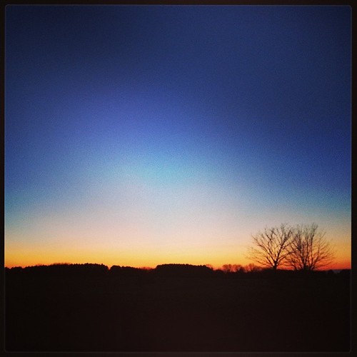
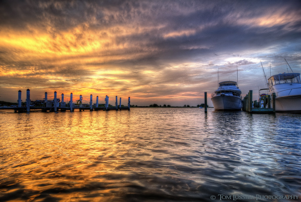
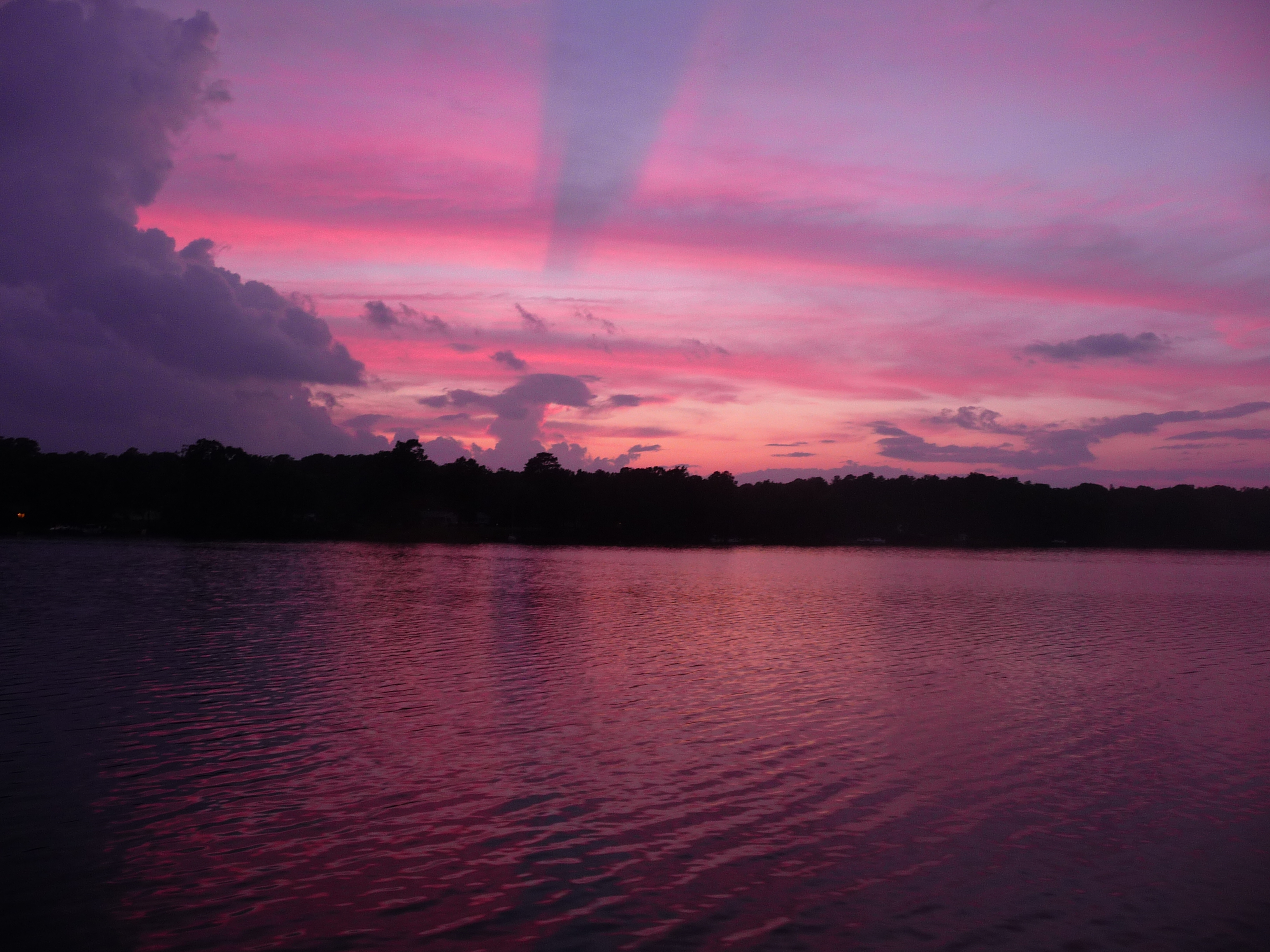
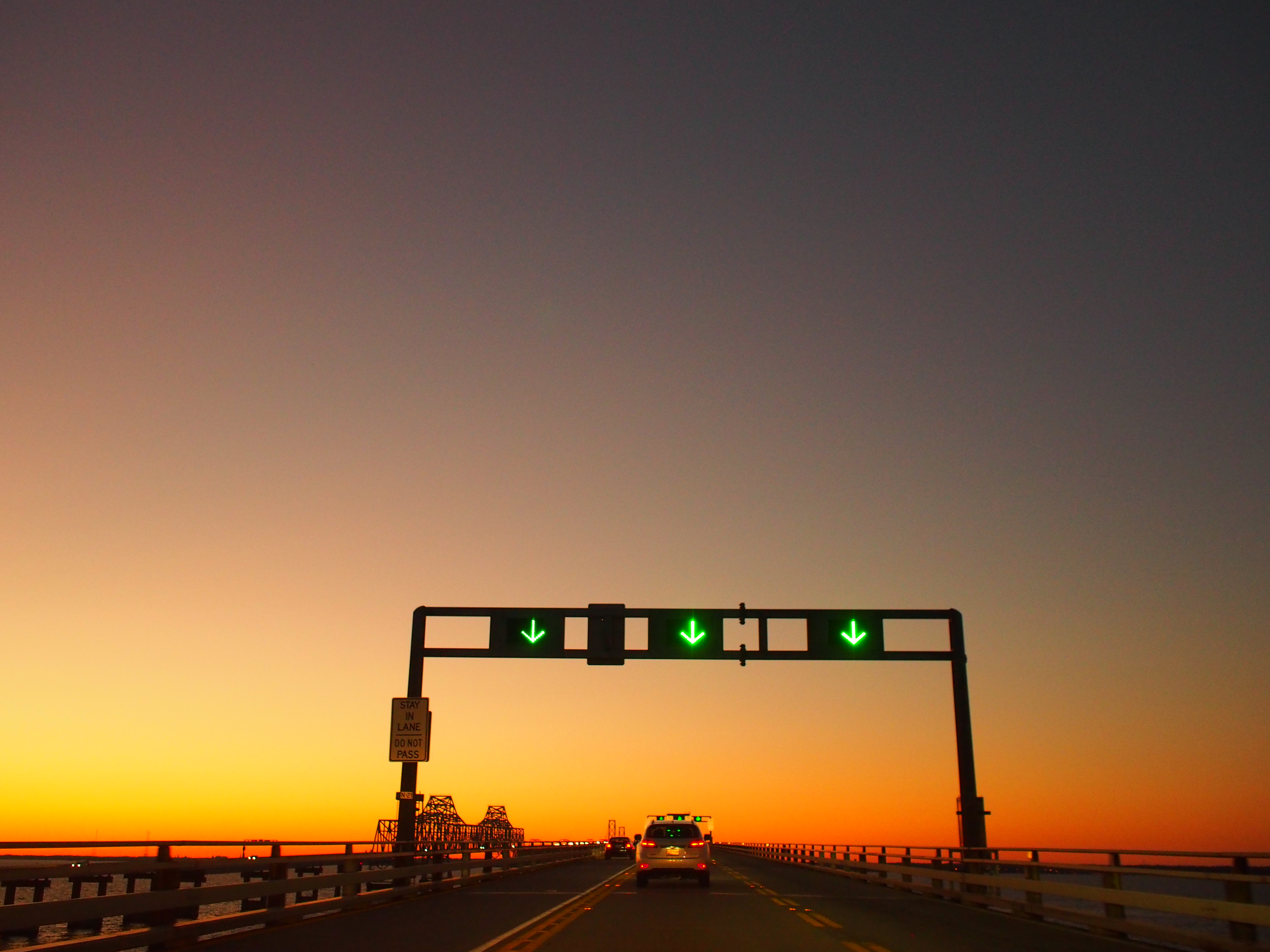
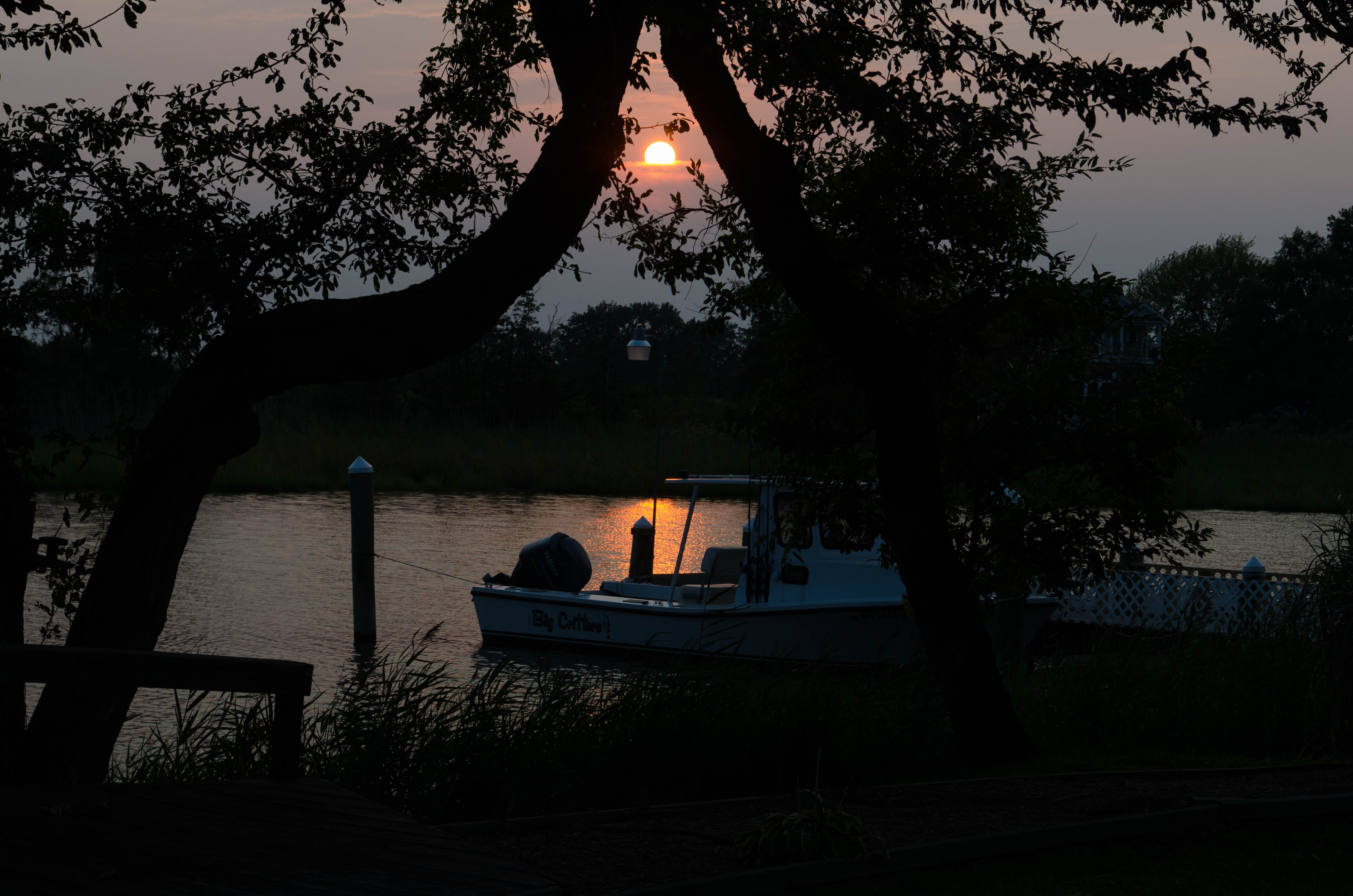
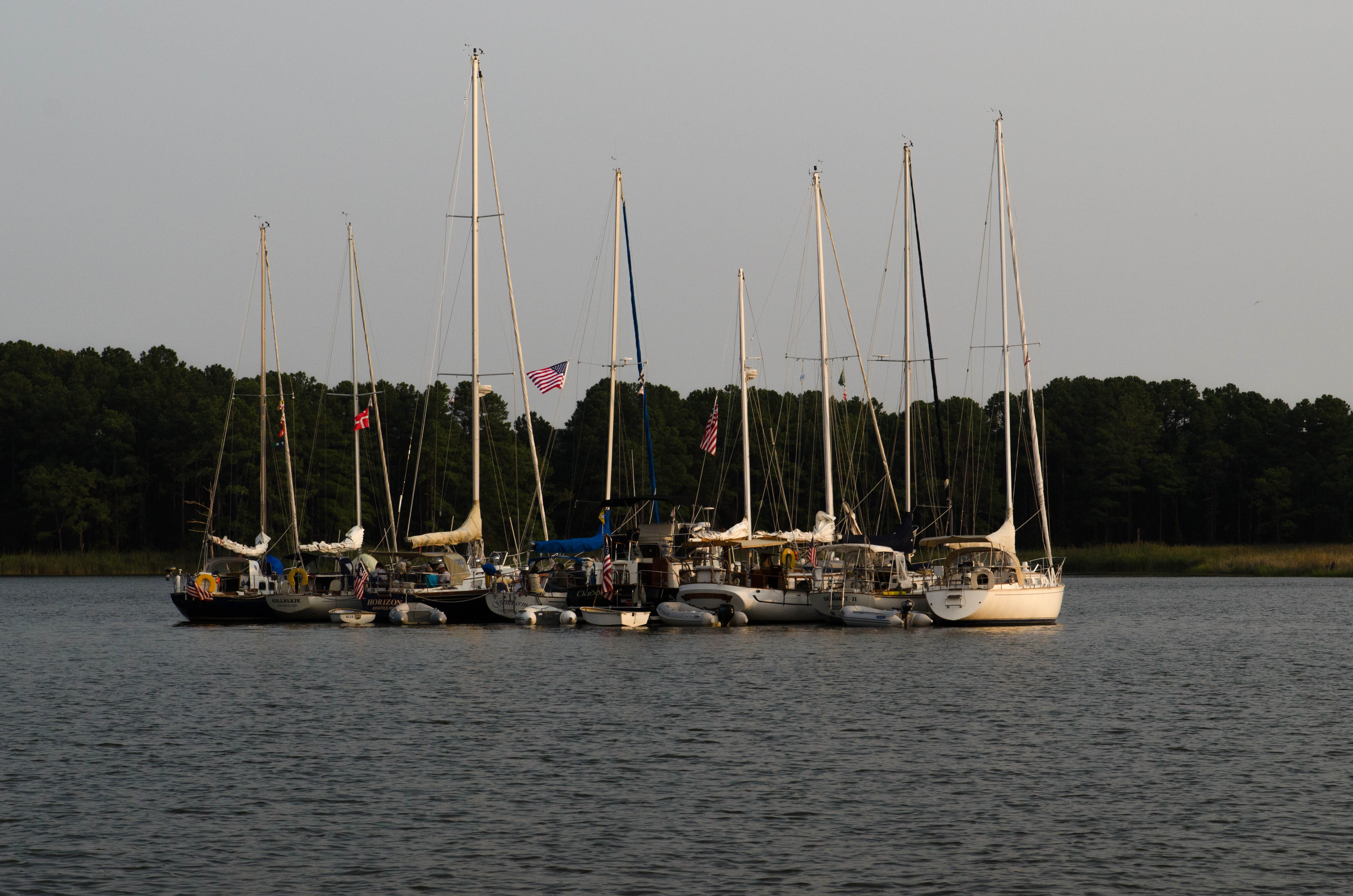
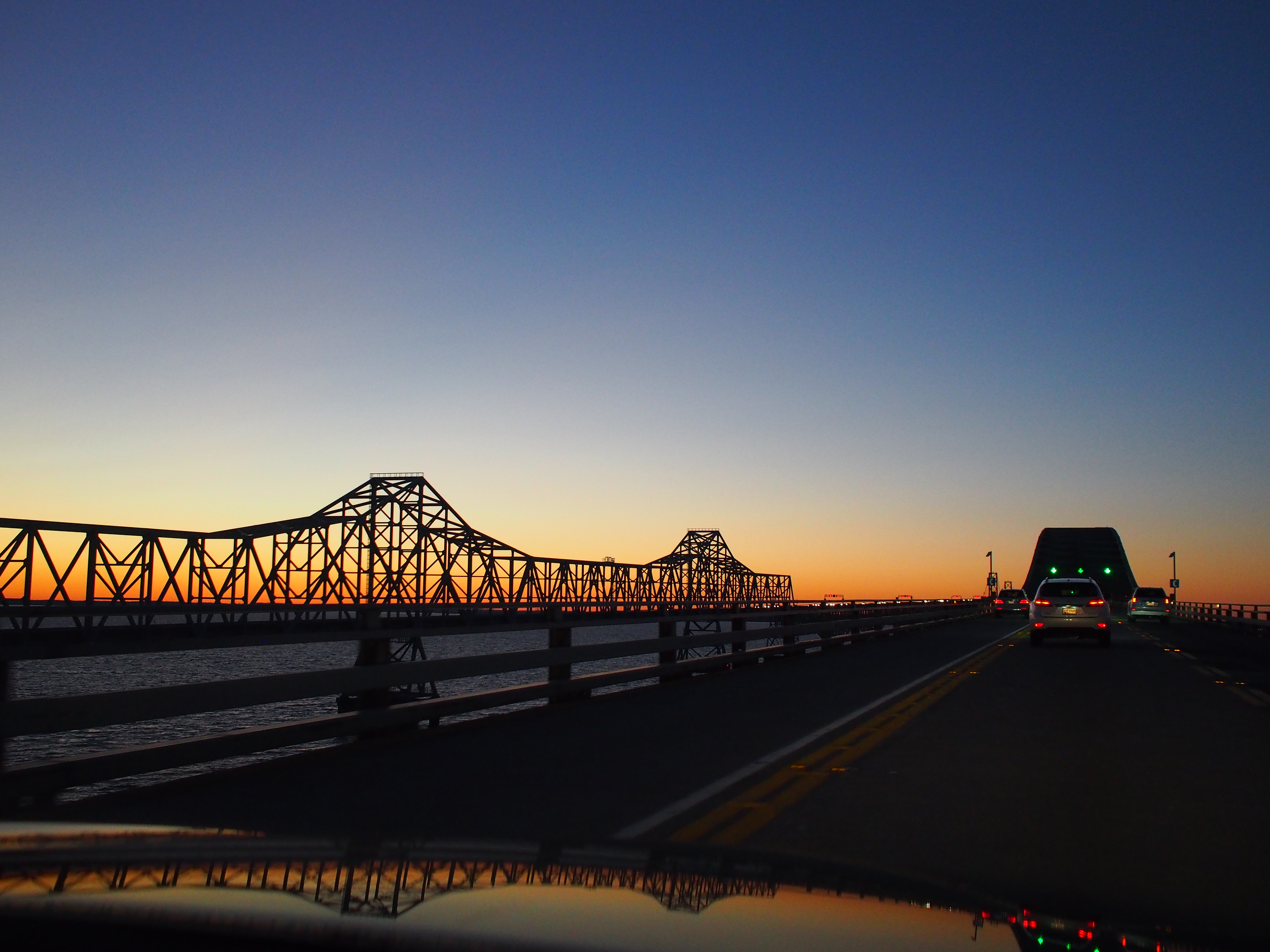
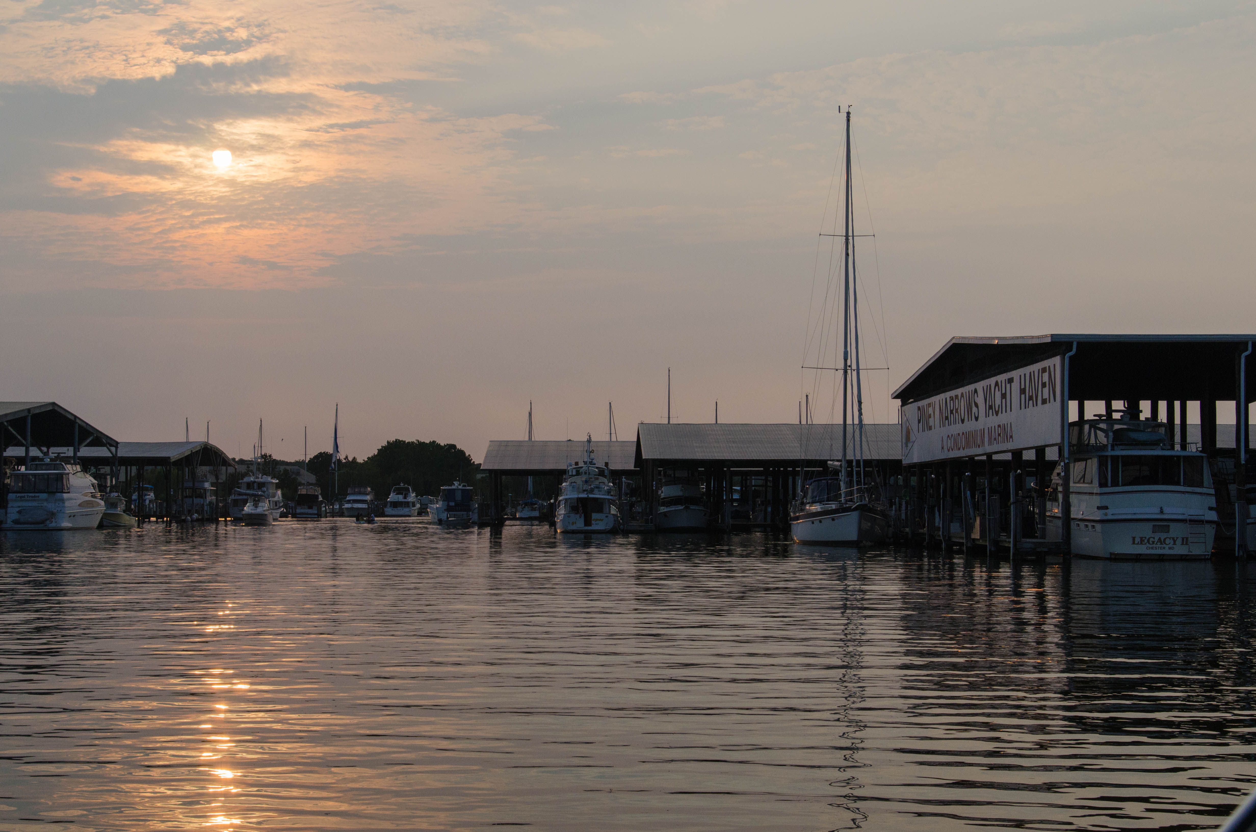
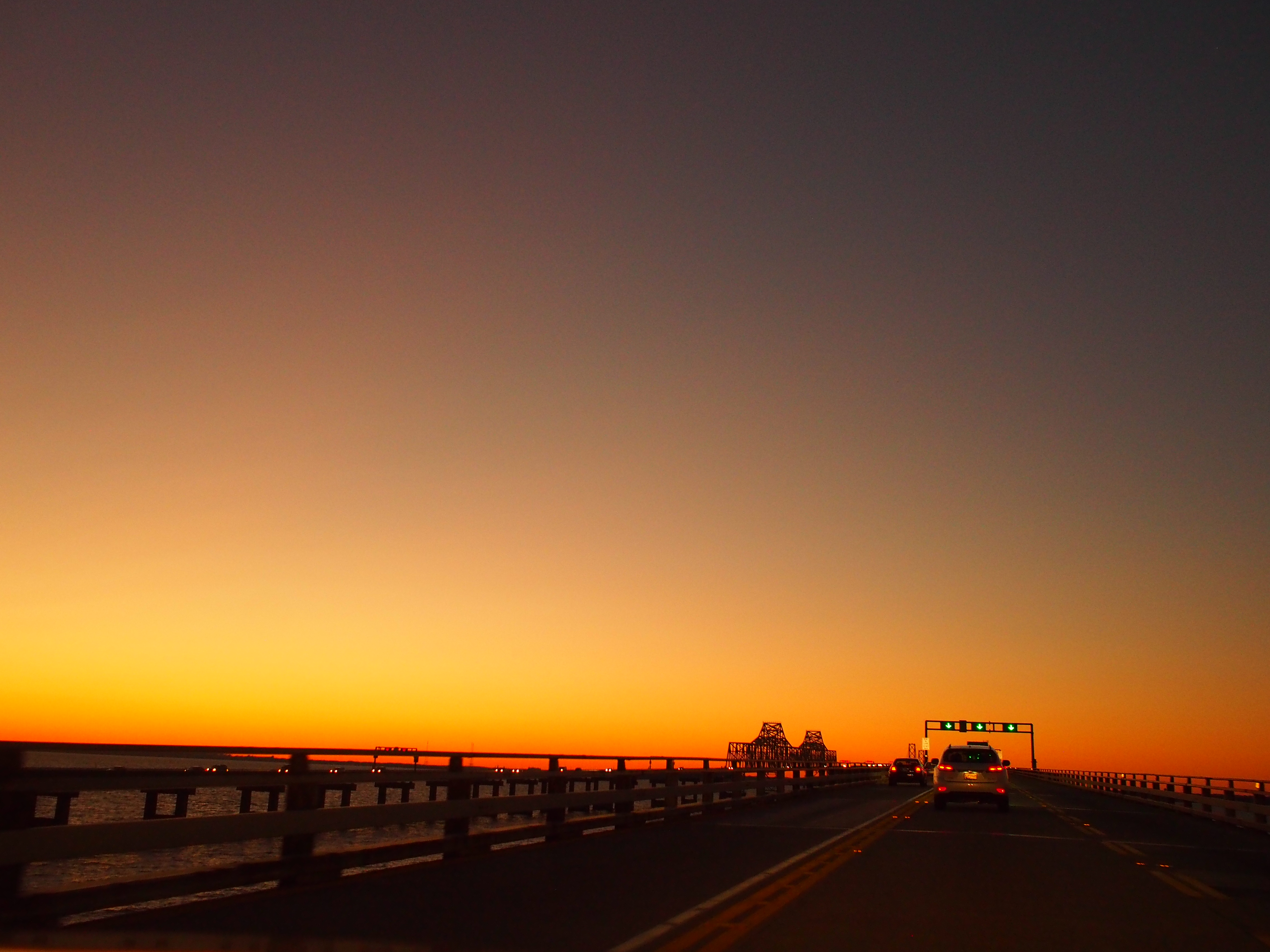
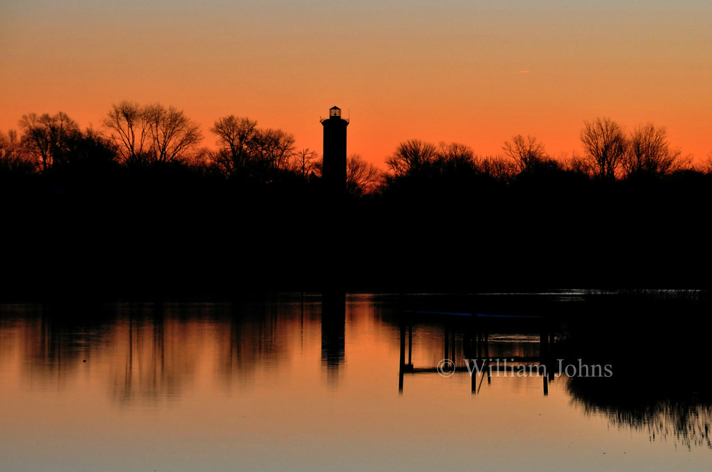
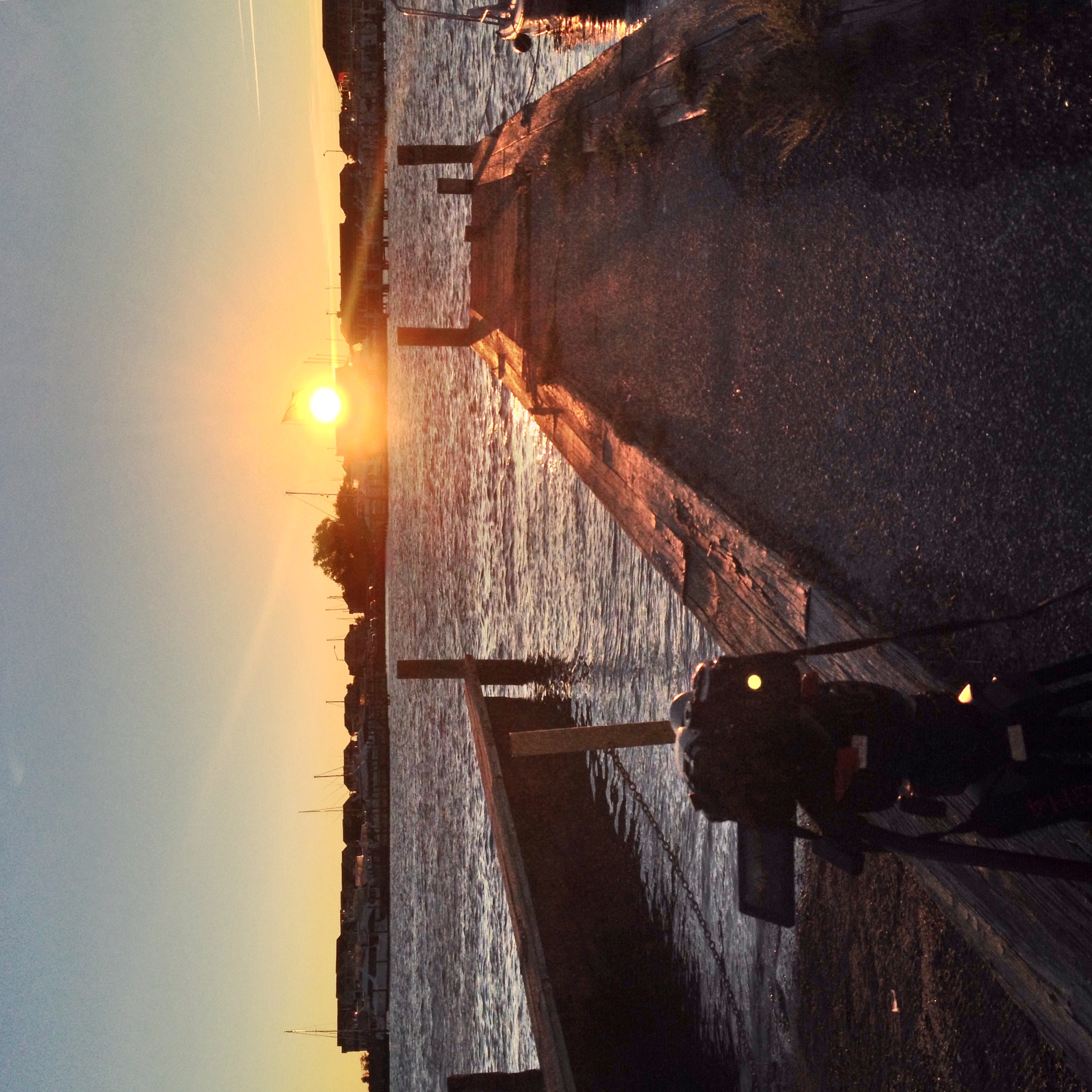
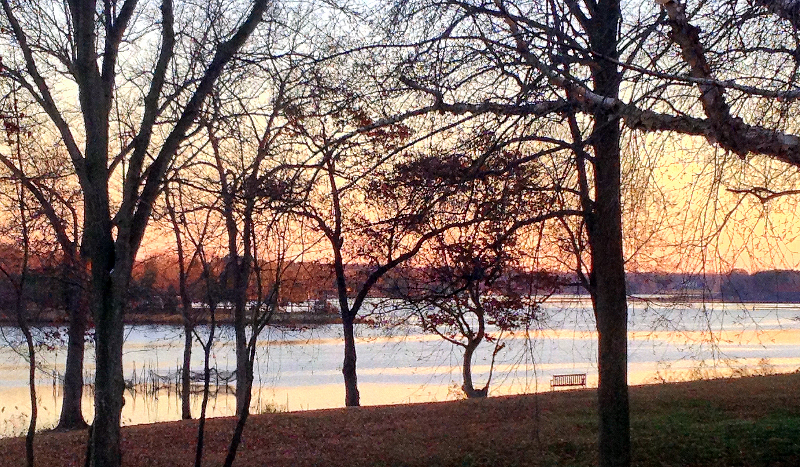
日出日落照片

the house
Goodnight sun, lay down to rest...
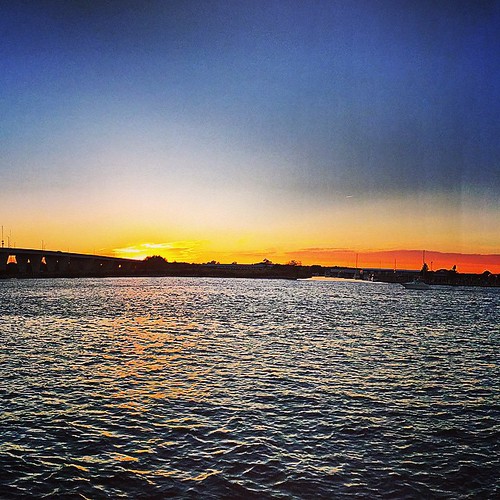
Chesapeake Day's End

Fire in the Sky

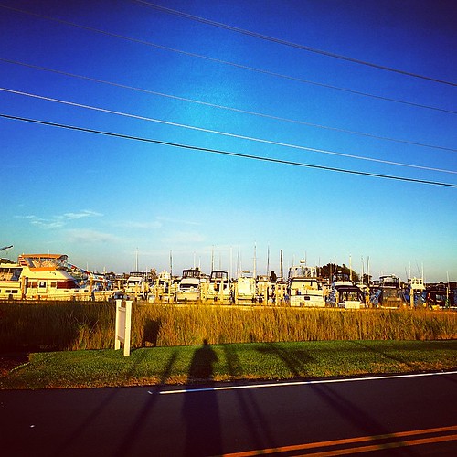
Oyster shells near marsh, Kent Narrows

Fishing at Sunset

Lena May
Comegys sunset
P1020545.JPG
#crabcakesandkarats ⛵⚓✌
#crabcakesandkarats ⛵⚓✌ #sunset
#crabcakesandkarats ⛵⚓✌
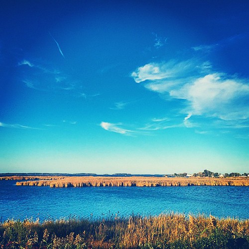
Eastern Shore, MD
Sunset over Kent Island MD

Sunset, crab boil & bluegrass - good day #forkarl
Sunset over Kent Island MD
P1020550.JPG

The Bay Bridge

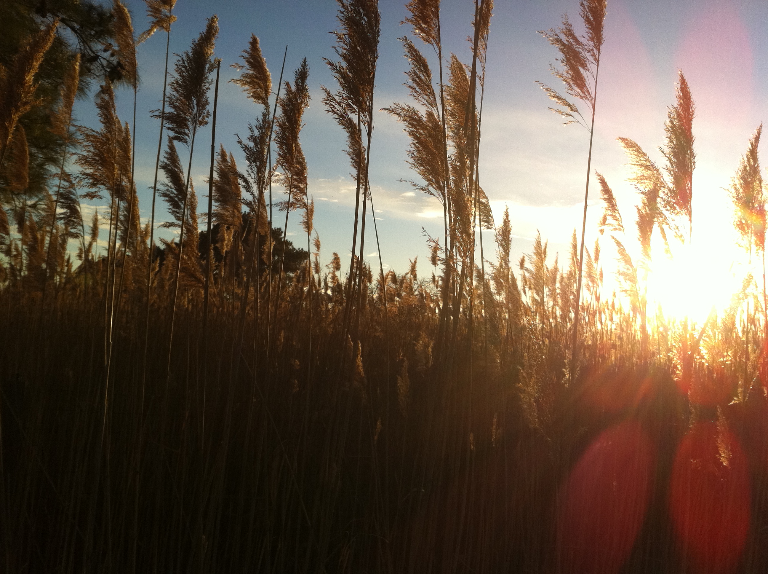
Sunrise behind phragmites, Kent Narrows
Sunset over Kent Island MD
P1020543.JPG

Workboat with condos behind, Kent Narrows
Dawn over Cox Creek

Sunrise over Kent Narrows
Sunrise at the Kent Narrows.
The River Wye

Tied Up
美國馬里蘭州安妮女王縣的地圖
搜索其他地方的日出日落時間
美國馬里蘭州安妮女王縣的其他地方
4, Kent Island, MD, 美國
3, Centreville, MD, 美國
5, Queenstown, MD, 美國
2, Church Hill, MD, 美國
7, Crumpton, MD, 美國
6, Ruthsburg, MD, 美國
1, Dixon, MD, 美國
附近地點
Cody Ln, Centreville, MD 美國
Town Point Ln, Centreville, MD 美國
Fort Point Rd, Centreville, MD 美國Fort Point Road
Corsica St, Centreville, MD 美國
Concerto Ave, Centreville, MD 美國
Quail Run Dr, Centreville, MD 美國
美國馬里蘭州申特維
Little Kidwell Ave, Centreville, MD 美國Little Kidwell Avenue
美國馬里蘭州申特維
3, Centreville, MD, 美國
Green St, Centreville, MD 美國
Spaniard Neck Rd, Centreville, MD 美國
Deerfield Ct, Centreville, MD 美國
Fair Brook Way, Centreville, MD 美國
E Brook Dr, Centreville, MD 美國
Shrewsbury Farm Ln, Centreville, MD 美國
McKinleyville Rd, Rock Hall, MD 美國
Johnsontown Rd, Chestertown, MD 美國
Kelleys Park Rd, Rock Hall, MD 美國
Quaker Neck Landing Rd, Chestertown, MD 美國
最近搜索
- 12 Hutchinson Woods Dr, Fletcher, NC 美國的日出日落時間表
- 秘魯聖瑪麗亞德馬爾區的日出日落時間表
- Holloway Ave, San Francisco, CA 美國的日出日落時間表
- 1-chōme-1-5 Asahi, Utsunomiya, Tochigi -日本的日出日落時間表
- Bist Hazari, 阿富汗的日出日落時間表
- 82- D Rd, Captain Cook, HI 美國的日出日落時間表
- Harlow CM20 2PR, UK的日出日落時間表
- Yadozaki Tairausuiso, Iwaki, Fukushima -日本的日出日落時間表
- Alpha Dr, Melbourne, FL 美國的日出日落時間表
- 日本〒- 東京都台東區谷中的日出日落時間表