Hierba Rd, Agua Dulce, CA 美國的日出日落時間表
Location: 美國 > 加利福尼亞州 > 洛杉磯郡 > CA 美國 >
時區:
America/Los_Angeles
當地時間:
2024-04-20 07:36:27
經度:
-118.278316
緯度:
34.523895
今天日出時間:
06:14:03 AM
今天日落時間:
07:29:35 PM
今天日照時長:
13h 15m 32s
明天日出時間:
06:12:52 AM
明天日落時間:
07:30:22 PM
明天日照時長:
13h 17m 30s
顯示所有日期
| 日期 | 日出 | 日落 | 日照時長 |
|---|---|---|---|
| 2024年01月01日 | 06:59:55 AM | 04:54:03 PM | 9h 54m 8s |
| 2024年01月02日 | 07:00:04 AM | 04:54:49 PM | 9h 54m 45s |
| 2024年01月03日 | 07:00:12 AM | 04:55:37 PM | 9h 55m 25s |
| 2024年01月04日 | 07:00:17 AM | 04:56:26 PM | 9h 56m 9s |
| 2024年01月05日 | 07:00:21 AM | 04:57:15 PM | 9h 56m 54s |
| 2024年01月06日 | 07:00:22 AM | 04:58:06 PM | 9h 57m 44s |
| 2024年01月07日 | 07:00:22 AM | 04:58:57 PM | 9h 58m 35s |
| 2024年01月08日 | 07:00:20 AM | 04:59:50 PM | 9h 59m 30s |
| 2024年01月09日 | 07:00:16 AM | 05:00:43 PM | 10h 0m 27s |
| 2024年01月10日 | 07:00:10 AM | 05:01:37 PM | 10h 1m 27s |
| 2024年01月11日 | 07:00:02 AM | 05:02:31 PM | 10h 2m 29s |
| 2024年01月12日 | 06:59:53 AM | 05:03:27 PM | 10h 3m 34s |
| 2024年01月13日 | 06:59:41 AM | 05:04:23 PM | 10h 4m 42s |
| 2024年01月14日 | 06:59:28 AM | 05:05:19 PM | 10h 5m 51s |
| 2024年01月15日 | 06:59:13 AM | 05:06:16 PM | 10h 7m 3s |
| 2024年01月16日 | 06:58:55 AM | 05:07:14 PM | 10h 8m 19s |
| 2024年01月17日 | 06:58:36 AM | 05:08:12 PM | 10h 9m 36s |
| 2024年01月18日 | 06:58:16 AM | 05:09:10 PM | 10h 10m 54s |
| 2024年01月19日 | 06:57:53 AM | 05:10:09 PM | 10h 12m 16s |
| 2024年01月20日 | 06:57:29 AM | 05:11:08 PM | 10h 13m 39s |
| 2024年01月21日 | 06:57:02 AM | 05:12:08 PM | 10h 15m 6s |
| 2024年01月22日 | 06:56:34 AM | 05:13:07 PM | 10h 16m 33s |
| 2024年01月23日 | 06:56:05 AM | 05:14:07 PM | 10h 18m 2s |
| 2024年01月24日 | 06:55:33 AM | 05:15:07 PM | 10h 19m 34s |
| 2024年01月25日 | 06:55:00 AM | 05:16:07 PM | 10h 21m 7s |
| 2024年01月26日 | 06:54:25 AM | 05:17:07 PM | 10h 22m 42s |
| 2024年01月27日 | 06:53:48 AM | 05:18:07 PM | 10h 24m 19s |
| 2024年01月28日 | 06:53:10 AM | 05:19:08 PM | 10h 25m 58s |
| 2024年01月29日 | 06:52:30 AM | 05:20:08 PM | 10h 27m 38s |
| 2024年01月30日 | 06:51:49 AM | 05:21:08 PM | 10h 29m 19s |
| 2024年01月31日 | 06:51:06 AM | 05:22:08 PM | 10h 31m 2s |
| 2024年02月01日 | 06:50:21 AM | 05:23:08 PM | 10h 32m 47s |
| 2024年02月02日 | 06:49:35 AM | 05:24:08 PM | 10h 34m 33s |
| 2024年02月03日 | 06:48:48 AM | 05:25:08 PM | 10h 36m 20s |
| 2024年02月04日 | 06:47:59 AM | 05:26:07 PM | 10h 38m 8s |
| 2024年02月05日 | 06:47:08 AM | 05:27:07 PM | 10h 39m 59s |
| 2024年02月06日 | 06:46:16 AM | 05:28:06 PM | 10h 41m 50s |
| 2024年02月07日 | 06:45:23 AM | 05:29:05 PM | 10h 43m 42s |
| 2024年02月08日 | 06:44:29 AM | 05:30:04 PM | 10h 45m 35s |
| 2024年02月09日 | 06:43:33 AM | 05:31:03 PM | 10h 47m 30s |
| 2024年02月10日 | 06:42:36 AM | 05:32:01 PM | 10h 49m 25s |
| 2024年02月11日 | 06:41:37 AM | 05:32:59 PM | 10h 51m 22s |
| 2024年02月12日 | 06:40:38 AM | 05:33:57 PM | 10h 53m 19s |
| 2024年02月13日 | 06:39:37 AM | 05:34:54 PM | 10h 55m 17s |
| 2024年02月14日 | 06:38:35 AM | 05:35:51 PM | 10h 57m 16s |
| 2024年02月15日 | 06:37:32 AM | 05:36:48 PM | 10h 59m 16s |
| 2024年02月16日 | 06:36:27 AM | 05:37:44 PM | 11h 1m 17s |
| 2024年02月17日 | 06:35:22 AM | 05:38:40 PM | 11h 3m 18s |
| 2024年02月18日 | 06:34:16 AM | 05:39:36 PM | 11h 5m 20s |
| 2024年02月19日 | 06:33:08 AM | 05:40:32 PM | 11h 7m 24s |
| 2024年02月20日 | 06:32:00 AM | 05:41:27 PM | 11h 9m 27s |
| 2024年02月21日 | 06:30:51 AM | 05:42:22 PM | 11h 11m 31s |
| 2024年02月22日 | 06:29:41 AM | 05:43:16 PM | 11h 13m 35s |
| 2024年02月23日 | 06:28:30 AM | 05:44:10 PM | 11h 15m 40s |
| 2024年02月24日 | 06:27:18 AM | 05:45:04 PM | 11h 17m 46s |
| 2024年02月25日 | 06:26:05 AM | 05:45:57 PM | 11h 19m 52s |
| 2024年02月26日 | 06:24:52 AM | 05:46:50 PM | 11h 21m 58s |
| 2024年02月27日 | 06:23:37 AM | 05:47:43 PM | 11h 24m 6s |
| 2024年02月28日 | 06:22:23 AM | 05:48:35 PM | 11h 26m 12s |
| 2024年02月29日 | 06:21:07 AM | 05:49:27 PM | 11h 28m 20s |
| 2024年03月01日 | 06:19:51 AM | 05:50:19 PM | 11h 30m 28s |
| 2024年03月02日 | 06:18:34 AM | 05:51:11 PM | 11h 32m 37s |
| 2024年03月03日 | 06:17:16 AM | 05:52:02 PM | 11h 34m 46s |
| 2024年03月04日 | 06:15:58 AM | 05:52:53 PM | 11h 36m 55s |
| 2024年03月05日 | 06:14:39 AM | 05:53:43 PM | 11h 39m 4s |
| 2024年03月06日 | 06:13:20 AM | 05:54:33 PM | 11h 41m 13s |
| 2024年03月07日 | 06:12:01 AM | 05:55:23 PM | 11h 43m 22s |
| 2024年03月08日 | 06:10:41 AM | 05:56:13 PM | 11h 45m 32s |
| 2024年03月09日 | 06:09:20 AM | 05:57:03 PM | 11h 47m 43s |
| 2024年03月10日 | 07:08:03 AM | 06:57:50 PM | 11h 49m 47s |
| 2024年03月11日 | 07:06:41 AM | 06:58:39 PM | 11h 51m 58s |
| 2024年03月12日 | 07:05:20 AM | 06:59:27 PM | 11h 54m 7s |
| 2024年03月13日 | 07:03:58 AM | 07:00:16 PM | 11h 56m 18s |
| 2024年03月14日 | 07:02:36 AM | 07:01:04 PM | 11h 58m 28s |
| 2024年03月15日 | 07:01:14 AM | 07:01:53 PM | 12h 0m 39s |
| 2024年03月16日 | 06:59:51 AM | 07:02:40 PM | 12h 2m 49s |
| 2024年03月17日 | 06:58:28 AM | 07:03:28 PM | 12h 5m 0s |
| 2024年03月18日 | 06:57:06 AM | 07:04:16 PM | 12h 7m 10s |
| 2024年03月19日 | 06:55:43 AM | 07:05:03 PM | 12h 9m 20s |
| 2024年03月20日 | 06:54:19 AM | 07:05:51 PM | 12h 11m 32s |
| 2024年03月21日 | 06:52:56 AM | 07:06:38 PM | 12h 13m 42s |
| 2024年03月22日 | 06:51:33 AM | 07:07:25 PM | 12h 15m 52s |
| 2024年03月23日 | 06:50:10 AM | 07:08:12 PM | 12h 18m 2s |
| 2024年03月24日 | 06:48:47 AM | 07:08:59 PM | 12h 20m 12s |
| 2024年03月25日 | 06:47:24 AM | 07:09:46 PM | 12h 22m 22s |
| 2024年03月26日 | 06:46:01 AM | 07:10:33 PM | 12h 24m 32s |
| 2024年03月27日 | 06:44:38 AM | 07:11:19 PM | 12h 26m 41s |
| 2024年03月28日 | 06:43:15 AM | 07:12:06 PM | 12h 28m 51s |
| 2024年03月29日 | 06:41:53 AM | 07:12:53 PM | 12h 31m 0s |
| 2024年03月30日 | 06:40:30 AM | 07:13:39 PM | 12h 33m 9s |
| 2024年03月31日 | 06:39:08 AM | 07:14:26 PM | 12h 35m 18s |
| 2024年04月01日 | 06:37:46 AM | 07:15:12 PM | 12h 37m 26s |
| 2024年04月02日 | 06:36:25 AM | 07:15:59 PM | 12h 39m 34s |
| 2024年04月03日 | 06:35:04 AM | 07:16:46 PM | 12h 41m 42s |
| 2024年04月04日 | 06:33:43 AM | 07:17:32 PM | 12h 43m 49s |
| 2024年04月05日 | 06:32:22 AM | 07:18:19 PM | 12h 45m 57s |
| 2024年04月06日 | 06:31:02 AM | 07:19:05 PM | 12h 48m 3s |
| 2024年04月07日 | 06:29:42 AM | 07:19:52 PM | 12h 50m 10s |
| 2024年04月08日 | 06:28:23 AM | 07:20:39 PM | 12h 52m 16s |
| 2024年04月09日 | 06:27:04 AM | 07:21:26 PM | 12h 54m 22s |
| 2024年04月10日 | 06:25:46 AM | 07:22:13 PM | 12h 56m 27s |
| 2024年04月11日 | 06:24:28 AM | 07:22:59 PM | 12h 58m 31s |
| 2024年04月12日 | 06:23:11 AM | 07:23:46 PM | 13h 0m 35s |
| 2024年04月13日 | 06:21:55 AM | 07:24:33 PM | 13h 2m 38s |
| 2024年04月14日 | 06:20:39 AM | 07:25:20 PM | 13h 4m 41s |
| 2024年04月15日 | 06:19:24 AM | 07:26:08 PM | 13h 6m 44s |
| 2024年04月16日 | 06:18:09 AM | 07:26:55 PM | 13h 8m 46s |
| 2024年04月17日 | 06:16:55 AM | 07:27:42 PM | 13h 10m 47s |
| 2024年04月18日 | 06:15:42 AM | 07:28:30 PM | 13h 12m 48s |
| 2024年04月19日 | 06:14:30 AM | 07:29:17 PM | 13h 14m 47s |
| 2024年04月20日 | 06:13:19 AM | 07:30:04 PM | 13h 16m 45s |
| 2024年04月21日 | 06:12:08 AM | 07:30:52 PM | 13h 18m 44s |
| 2024年04月22日 | 06:10:58 AM | 07:31:40 PM | 13h 20m 42s |
| 2024年04月23日 | 06:09:50 AM | 07:32:27 PM | 13h 22m 37s |
| 2024年04月24日 | 06:08:42 AM | 07:33:15 PM | 13h 24m 33s |
| 2024年04月25日 | 06:07:35 AM | 07:34:03 PM | 13h 26m 28s |
| 2024年04月26日 | 06:06:29 AM | 07:34:51 PM | 13h 28m 22s |
| 2024年04月27日 | 06:05:23 AM | 07:35:38 PM | 13h 30m 15s |
| 2024年04月28日 | 06:04:19 AM | 07:36:26 PM | 13h 32m 7s |
| 2024年04月29日 | 06:03:17 AM | 07:37:14 PM | 13h 33m 57s |
| 2024年04月30日 | 06:02:15 AM | 07:38:02 PM | 13h 35m 47s |
| 2024年05月01日 | 06:01:14 AM | 07:38:50 PM | 13h 37m 36s |
| 2024年05月02日 | 06:00:14 AM | 07:39:37 PM | 13h 39m 23s |
| 2024年05月03日 | 05:59:16 AM | 07:40:25 PM | 13h 41m 9s |
| 2024年05月04日 | 05:58:19 AM | 07:41:13 PM | 13h 42m 54s |
| 2024年05月05日 | 05:57:22 AM | 07:42:00 PM | 13h 44m 38s |
| 2024年05月06日 | 05:56:28 AM | 07:42:48 PM | 13h 46m 20s |
| 2024年05月07日 | 05:55:34 AM | 07:43:35 PM | 13h 48m 1s |
| 2024年05月08日 | 05:54:42 AM | 07:44:22 PM | 13h 49m 40s |
| 2024年05月09日 | 05:53:51 AM | 07:45:09 PM | 13h 51m 18s |
| 2024年05月10日 | 05:53:01 AM | 07:45:56 PM | 13h 52m 55s |
| 2024年05月11日 | 05:52:13 AM | 07:46:43 PM | 13h 54m 30s |
| 2024年05月12日 | 05:51:26 AM | 07:47:29 PM | 13h 56m 3s |
| 2024年05月13日 | 05:50:40 AM | 07:48:16 PM | 13h 57m 36s |
| 2024年05月14日 | 05:49:56 AM | 07:49:01 PM | 13h 59m 5s |
| 2024年05月15日 | 05:49:13 AM | 07:49:47 PM | 14h 0m 34s |
| 2024年05月16日 | 05:48:32 AM | 07:50:32 PM | 14h 2m 0s |
| 2024年05月17日 | 05:47:52 AM | 07:51:17 PM | 14h 3m 25s |
| 2024年05月18日 | 05:47:14 AM | 07:52:02 PM | 14h 4m 48s |
| 2024年05月19日 | 05:46:37 AM | 07:52:46 PM | 14h 6m 9s |
| 2024年05月20日 | 05:46:02 AM | 07:53:29 PM | 14h 7m 27s |
| 2024年05月21日 | 05:45:28 AM | 07:54:12 PM | 14h 8m 44s |
| 2024年05月22日 | 05:44:56 AM | 07:54:55 PM | 14h 9m 59s |
| 2024年05月23日 | 05:44:26 AM | 07:55:37 PM | 14h 11m 11s |
| 2024年05月24日 | 05:43:57 AM | 07:56:18 PM | 14h 12m 21s |
| 2024年05月25日 | 05:43:29 AM | 07:56:59 PM | 14h 13m 30s |
| 2024年05月26日 | 05:43:03 AM | 07:57:39 PM | 14h 14m 36s |
| 2024年05月27日 | 05:42:39 AM | 07:58:19 PM | 14h 15m 40s |
| 2024年05月28日 | 05:42:16 AM | 07:58:58 PM | 14h 16m 42s |
| 2024年05月29日 | 05:41:55 AM | 07:59:36 PM | 14h 17m 41s |
| 2024年05月30日 | 05:41:36 AM | 08:00:13 PM | 14h 18m 37s |
| 2024年05月31日 | 05:41:18 AM | 08:00:49 PM | 14h 19m 31s |
| 2024年06月01日 | 05:41:02 AM | 08:01:25 PM | 14h 20m 23s |
| 2024年06月02日 | 05:40:48 AM | 08:01:59 PM | 14h 21m 11s |
| 2024年06月03日 | 05:40:35 AM | 08:02:33 PM | 14h 21m 58s |
| 2024年06月04日 | 05:40:23 AM | 08:03:06 PM | 14h 22m 43s |
| 2024年06月05日 | 05:40:14 AM | 08:03:37 PM | 14h 23m 23s |
| 2024年06月06日 | 05:40:06 AM | 08:04:08 PM | 14h 24m 2s |
| 2024年06月07日 | 05:39:59 AM | 08:04:38 PM | 14h 24m 39s |
| 2024年06月08日 | 05:39:55 AM | 08:05:06 PM | 14h 25m 11s |
| 2024年06月09日 | 05:39:51 AM | 08:05:33 PM | 14h 25m 42s |
| 2024年06月10日 | 05:39:50 AM | 08:06:00 PM | 14h 26m 10s |
| 2024年06月11日 | 05:39:50 AM | 08:06:24 PM | 14h 26m 34s |
| 2024年06月12日 | 05:39:51 AM | 08:06:48 PM | 14h 26m 57s |
| 2024年06月13日 | 05:39:54 AM | 08:07:11 PM | 14h 27m 17s |
| 2024年06月14日 | 05:39:59 AM | 08:07:32 PM | 14h 27m 33s |
| 2024年06月15日 | 05:40:05 AM | 08:07:51 PM | 14h 27m 46s |
| 2024年06月16日 | 05:40:13 AM | 08:08:10 PM | 14h 27m 57s |
| 2024年06月17日 | 05:40:22 AM | 08:08:27 PM | 14h 28m 5s |
| 2024年06月18日 | 05:40:33 AM | 08:08:42 PM | 14h 28m 9s |
| 2024年06月19日 | 05:40:45 AM | 08:08:57 PM | 14h 28m 12s |
| 2024年06月20日 | 05:40:58 AM | 08:09:09 PM | 14h 28m 11s |
| 2024年06月21日 | 05:41:13 AM | 08:09:20 PM | 14h 28m 7s |
| 2024年06月22日 | 05:41:29 AM | 08:09:30 PM | 14h 28m 1s |
| 2024年06月23日 | 05:41:47 AM | 08:09:38 PM | 14h 27m 51s |
| 2024年06月24日 | 05:42:05 AM | 08:09:45 PM | 14h 27m 40s |
| 2024年06月25日 | 05:42:25 AM | 08:09:50 PM | 14h 27m 25s |
| 2024年06月26日 | 05:42:47 AM | 08:09:53 PM | 14h 27m 6s |
| 2024年06月27日 | 05:43:09 AM | 08:09:55 PM | 14h 26m 46s |
| 2024年06月28日 | 05:43:33 AM | 08:09:55 PM | 14h 26m 22s |
| 2024年06月29日 | 05:43:58 AM | 08:09:54 PM | 14h 25m 56s |
| 2024年06月30日 | 05:44:24 AM | 08:09:51 PM | 14h 25m 27s |
| 2024年07月01日 | 05:44:51 AM | 08:09:46 PM | 14h 24m 55s |
| 2024年07月02日 | 05:45:19 AM | 08:09:40 PM | 14h 24m 21s |
| 2024年07月03日 | 05:45:49 AM | 08:09:32 PM | 14h 23m 43s |
| 2024年07月04日 | 05:46:19 AM | 08:09:22 PM | 14h 23m 3s |
| 2024年07月05日 | 05:46:50 AM | 08:09:11 PM | 14h 22m 21s |
| 2024年07月06日 | 05:47:22 AM | 08:08:58 PM | 14h 21m 36s |
| 2024年07月07日 | 05:47:55 AM | 08:08:43 PM | 14h 20m 48s |
| 2024年07月08日 | 05:48:29 AM | 08:08:27 PM | 14h 19m 58s |
| 2024年07月09日 | 05:49:03 AM | 08:08:09 PM | 14h 19m 6s |
| 2024年07月10日 | 05:49:39 AM | 08:07:49 PM | 14h 18m 10s |
| 2024年07月11日 | 05:50:15 AM | 08:07:28 PM | 14h 17m 13s |
| 2024年07月12日 | 05:50:52 AM | 08:07:05 PM | 14h 16m 13s |
| 2024年07月13日 | 05:51:29 AM | 08:06:40 PM | 14h 15m 11s |
| 2024年07月14日 | 05:52:07 AM | 08:06:14 PM | 14h 14m 7s |
| 2024年07月15日 | 05:52:46 AM | 08:05:46 PM | 14h 13m 0s |
| 2024年07月16日 | 05:53:25 AM | 08:05:17 PM | 14h 11m 52s |
| 2024年07月17日 | 05:54:05 AM | 08:04:46 PM | 14h 10m 41s |
| 2024年07月18日 | 05:54:45 AM | 08:04:13 PM | 14h 9m 28s |
| 2024年07月19日 | 05:55:26 AM | 08:03:39 PM | 14h 8m 13s |
| 2024年07月20日 | 05:56:07 AM | 08:03:03 PM | 14h 6m 56s |
| 2024年07月21日 | 05:56:49 AM | 08:02:25 PM | 14h 5m 36s |
| 2024年07月22日 | 05:57:31 AM | 08:01:46 PM | 14h 4m 15s |
| 2024年07月23日 | 05:58:13 AM | 08:01:06 PM | 14h 2m 53s |
| 2024年07月24日 | 05:58:56 AM | 08:00:24 PM | 14h 1m 28s |
| 2024年07月25日 | 05:59:39 AM | 07:59:40 PM | 14h 0m 1s |
| 2024年07月26日 | 06:00:22 AM | 07:58:56 PM | 13h 58m 34s |
| 2024年07月27日 | 06:01:06 AM | 07:58:09 PM | 13h 57m 3s |
| 2024年07月28日 | 06:01:49 AM | 07:57:21 PM | 13h 55m 32s |
| 2024年07月29日 | 06:02:33 AM | 07:56:32 PM | 13h 53m 59s |
| 2024年07月30日 | 06:03:17 AM | 07:55:42 PM | 13h 52m 25s |
| 2024年07月31日 | 06:04:01 AM | 07:54:50 PM | 13h 50m 49s |
| 2024年08月01日 | 06:04:45 AM | 07:53:56 PM | 13h 49m 11s |
| 2024年08月02日 | 06:05:30 AM | 07:53:02 PM | 13h 47m 32s |
| 2024年08月03日 | 06:06:14 AM | 07:52:06 PM | 13h 45m 52s |
| 2024年08月04日 | 06:06:59 AM | 07:51:09 PM | 13h 44m 10s |
| 2024年08月05日 | 06:07:43 AM | 07:50:11 PM | 13h 42m 28s |
| 2024年08月06日 | 06:08:28 AM | 07:49:11 PM | 13h 40m 43s |
| 2024年08月07日 | 06:09:12 AM | 07:48:10 PM | 13h 38m 58s |
| 2024年08月08日 | 06:09:57 AM | 07:47:08 PM | 13h 37m 11s |
| 2024年08月09日 | 06:10:41 AM | 07:46:05 PM | 13h 35m 24s |
| 2024年08月10日 | 06:11:26 AM | 07:45:01 PM | 13h 33m 35s |
| 2024年08月11日 | 06:12:10 AM | 07:43:56 PM | 13h 31m 46s |
| 2024年08月12日 | 06:12:55 AM | 07:42:50 PM | 13h 29m 55s |
| 2024年08月13日 | 06:13:39 AM | 07:41:43 PM | 13h 28m 4s |
| 2024年08月14日 | 06:14:23 AM | 07:40:34 PM | 13h 26m 11s |
| 2024年08月15日 | 06:15:08 AM | 07:39:25 PM | 13h 24m 17s |
| 2024年08月16日 | 06:15:52 AM | 07:38:15 PM | 13h 22m 23s |
| 2024年08月17日 | 06:16:36 AM | 07:37:04 PM | 13h 20m 28s |
| 2024年08月18日 | 06:17:20 AM | 07:35:52 PM | 13h 18m 32s |
| 2024年08月19日 | 06:18:04 AM | 07:34:39 PM | 13h 16m 35s |
| 2024年08月20日 | 06:18:47 AM | 07:33:25 PM | 13h 14m 38s |
| 2024年08月21日 | 06:19:31 AM | 07:32:11 PM | 13h 12m 40s |
| 2024年08月22日 | 06:20:14 AM | 07:30:55 PM | 13h 10m 41s |
| 2024年08月23日 | 06:20:58 AM | 07:29:39 PM | 13h 8m 41s |
| 2024年08月24日 | 06:21:41 AM | 07:28:23 PM | 13h 6m 42s |
| 2024年08月25日 | 06:22:25 AM | 07:27:05 PM | 13h 4m 40s |
| 2024年08月26日 | 06:23:08 AM | 07:25:47 PM | 13h 2m 39s |
| 2024年08月27日 | 06:23:51 AM | 07:24:28 PM | 13h 0m 37s |
| 2024年08月28日 | 06:24:34 AM | 07:23:09 PM | 12h 58m 35s |
| 2024年08月29日 | 06:25:17 AM | 07:21:49 PM | 12h 56m 32s |
| 2024年08月30日 | 06:25:59 AM | 07:20:29 PM | 12h 54m 30s |
| 2024年08月31日 | 06:26:42 AM | 07:19:08 PM | 12h 52m 26s |
| 2024年09月01日 | 06:27:25 AM | 07:17:46 PM | 12h 50m 21s |
| 2024年09月02日 | 06:28:07 AM | 07:16:24 PM | 12h 48m 17s |
| 2024年09月03日 | 06:28:50 AM | 07:15:02 PM | 12h 46m 12s |
| 2024年09月04日 | 06:29:32 AM | 07:13:39 PM | 12h 44m 7s |
| 2024年09月05日 | 06:30:15 AM | 07:12:16 PM | 12h 42m 1s |
| 2024年09月06日 | 06:30:57 AM | 07:10:52 PM | 12h 39m 55s |
| 2024年09月07日 | 06:31:39 AM | 07:09:29 PM | 12h 37m 50s |
| 2024年09月08日 | 06:32:22 AM | 07:08:05 PM | 12h 35m 43s |
| 2024年09月09日 | 06:33:04 AM | 07:06:40 PM | 12h 33m 36s |
| 2024年09月10日 | 06:33:46 AM | 07:05:15 PM | 12h 31m 29s |
| 2024年09月11日 | 06:34:29 AM | 07:03:51 PM | 12h 29m 22s |
| 2024年09月12日 | 06:35:11 AM | 07:02:26 PM | 12h 27m 15s |
| 2024年09月13日 | 06:35:53 AM | 07:01:00 PM | 12h 25m 7s |
| 2024年09月14日 | 06:36:36 AM | 06:59:35 PM | 12h 22m 59s |
| 2024年09月15日 | 06:37:18 AM | 06:58:10 PM | 12h 20m 52s |
| 2024年09月16日 | 06:38:01 AM | 06:56:44 PM | 12h 18m 43s |
| 2024年09月17日 | 06:38:44 AM | 06:55:19 PM | 12h 16m 35s |
| 2024年09月18日 | 06:39:26 AM | 06:53:53 PM | 12h 14m 27s |
| 2024年09月19日 | 06:40:09 AM | 06:52:28 PM | 12h 12m 19s |
| 2024年09月20日 | 06:40:52 AM | 06:51:02 PM | 12h 10m 10s |
| 2024年09月21日 | 06:41:35 AM | 06:49:37 PM | 12h 8m 2s |
| 2024年09月22日 | 06:42:18 AM | 06:48:12 PM | 12h 5m 54s |
| 2024年09月23日 | 06:43:02 AM | 06:46:47 PM | 12h 3m 45s |
| 2024年09月24日 | 06:43:45 AM | 06:45:22 PM | 12h 1m 37s |
| 2024年09月25日 | 06:44:29 AM | 06:43:57 PM | 11h 59m 28s |
| 2024年09月26日 | 06:45:13 AM | 06:42:32 PM | 11h 57m 19s |
| 2024年09月27日 | 06:45:57 AM | 06:41:08 PM | 11h 55m 11s |
| 2024年09月28日 | 06:46:41 AM | 06:39:44 PM | 11h 53m 3s |
| 2024年09月29日 | 06:47:26 AM | 06:38:20 PM | 11h 50m 54s |
| 2024年09月30日 | 06:48:11 AM | 06:36:57 PM | 11h 48m 46s |
| 2024年10月01日 | 06:48:56 AM | 06:35:34 PM | 11h 46m 38s |
| 2024年10月02日 | 06:49:41 AM | 06:34:11 PM | 11h 44m 30s |
| 2024年10月03日 | 06:50:27 AM | 06:32:49 PM | 11h 42m 22s |
| 2024年10月04日 | 06:51:12 AM | 06:31:27 PM | 11h 40m 15s |
| 2024年10月05日 | 06:51:59 AM | 06:30:06 PM | 11h 38m 7s |
| 2024年10月06日 | 06:52:45 AM | 06:28:45 PM | 11h 36m 0s |
| 2024年10月07日 | 06:53:32 AM | 06:27:25 PM | 11h 33m 53s |
| 2024年10月08日 | 06:54:19 AM | 06:26:05 PM | 11h 31m 46s |
| 2024年10月09日 | 06:55:06 AM | 06:24:46 PM | 11h 29m 40s |
| 2024年10月10日 | 06:55:54 AM | 06:23:28 PM | 11h 27m 34s |
| 2024年10月11日 | 06:56:42 AM | 06:22:10 PM | 11h 25m 28s |
| 2024年10月12日 | 06:57:30 AM | 06:20:53 PM | 11h 23m 23s |
| 2024年10月13日 | 06:58:19 AM | 06:19:37 PM | 11h 21m 18s |
| 2024年10月14日 | 06:59:08 AM | 06:18:21 PM | 11h 19m 13s |
| 2024年10月15日 | 06:59:57 AM | 06:17:07 PM | 11h 17m 10s |
| 2024年10月16日 | 07:00:47 AM | 06:15:53 PM | 11h 15m 6s |
| 2024年10月17日 | 07:01:37 AM | 06:14:40 PM | 11h 13m 3s |
| 2024年10月18日 | 07:02:28 AM | 06:13:27 PM | 11h 10m 59s |
| 2024年10月19日 | 07:03:19 AM | 06:12:16 PM | 11h 8m 57s |
| 2024年10月20日 | 07:04:10 AM | 06:11:06 PM | 11h 6m 56s |
| 2024年10月21日 | 07:05:02 AM | 06:09:56 PM | 11h 4m 54s |
| 2024年10月22日 | 07:05:54 AM | 06:08:48 PM | 11h 2m 54s |
| 2024年10月23日 | 07:06:46 AM | 06:07:41 PM | 11h 0m 55s |
| 2024年10月24日 | 07:07:39 AM | 06:06:34 PM | 10h 58m 55s |
| 2024年10月25日 | 07:08:32 AM | 06:05:29 PM | 10h 56m 57s |
| 2024年10月26日 | 07:09:25 AM | 06:04:25 PM | 10h 55m 0s |
| 2024年10月27日 | 07:10:19 AM | 06:03:22 PM | 10h 53m 3s |
| 2024年10月28日 | 07:11:13 AM | 06:02:21 PM | 10h 51m 8s |
| 2024年10月29日 | 07:12:08 AM | 06:01:20 PM | 10h 49m 12s |
| 2024年10月30日 | 07:13:02 AM | 06:00:21 PM | 10h 47m 19s |
| 2024年10月31日 | 07:13:58 AM | 05:59:23 PM | 10h 45m 25s |
| 2024年11月01日 | 07:14:53 AM | 05:58:27 PM | 10h 43m 34s |
| 2024年11月02日 | 07:15:49 AM | 05:57:31 PM | 10h 41m 42s |
| 2024年11月03日 | 06:16:47 AM | 04:56:35 PM | 10h 39m 48s |
| 2024年11月04日 | 06:17:43 AM | 04:55:43 PM | 10h 38m 0s |
| 2024年11月05日 | 06:18:39 AM | 04:54:52 PM | 10h 36m 13s |
| 2024年11月06日 | 06:19:36 AM | 04:54:03 PM | 10h 34m 27s |
| 2024年11月07日 | 06:20:33 AM | 04:53:15 PM | 10h 32m 42s |
| 2024年11月08日 | 06:21:30 AM | 04:52:28 PM | 10h 30m 58s |
| 2024年11月09日 | 06:22:27 AM | 04:51:43 PM | 10h 29m 16s |
| 2024年11月10日 | 06:23:24 AM | 04:51:00 PM | 10h 27m 36s |
| 2024年11月11日 | 06:24:22 AM | 04:50:18 PM | 10h 25m 56s |
| 2024年11月12日 | 06:25:19 AM | 04:49:38 PM | 10h 24m 19s |
| 2024年11月13日 | 06:26:16 AM | 04:49:00 PM | 10h 22m 44s |
| 2024年11月14日 | 06:27:14 AM | 04:48:23 PM | 10h 21m 9s |
| 2024年11月15日 | 06:28:11 AM | 04:47:48 PM | 10h 19m 37s |
| 2024年11月16日 | 06:29:09 AM | 04:47:15 PM | 10h 18m 6s |
| 2024年11月17日 | 06:30:06 AM | 04:46:43 PM | 10h 16m 37s |
| 2024年11月18日 | 06:31:03 AM | 04:46:13 PM | 10h 15m 10s |
| 2024年11月19日 | 06:32:00 AM | 04:45:45 PM | 10h 13m 45s |
| 2024年11月20日 | 06:32:57 AM | 04:45:19 PM | 10h 12m 22s |
| 2024年11月21日 | 06:33:54 AM | 04:44:55 PM | 10h 11m 1s |
| 2024年11月22日 | 06:34:50 AM | 04:44:32 PM | 10h 9m 42s |
| 2024年11月23日 | 06:35:46 AM | 04:44:11 PM | 10h 8m 25s |
| 2024年11月24日 | 06:36:41 AM | 04:43:53 PM | 10h 7m 12s |
| 2024年11月25日 | 06:37:37 AM | 04:43:36 PM | 10h 5m 59s |
| 2024年11月26日 | 06:38:31 AM | 04:43:21 PM | 10h 4m 50s |
| 2024年11月27日 | 06:39:26 AM | 04:43:07 PM | 10h 3m 41s |
| 2024年11月28日 | 06:40:19 AM | 04:42:56 PM | 10h 2m 37s |
| 2024年11月29日 | 06:41:12 AM | 04:42:47 PM | 10h 1m 35s |
| 2024年11月30日 | 06:42:05 AM | 04:42:40 PM | 10h 0m 35s |
| 2024年12月01日 | 06:42:57 AM | 04:42:34 PM | 9h 59m 37s |
| 2024年12月02日 | 06:43:48 AM | 04:42:31 PM | 9h 58m 43s |
| 2024年12月03日 | 06:44:38 AM | 04:42:29 PM | 9h 57m 51s |
| 2024年12月04日 | 06:45:28 AM | 04:42:30 PM | 9h 57m 2s |
| 2024年12月05日 | 06:46:16 AM | 04:42:32 PM | 9h 56m 16s |
| 2024年12月06日 | 06:47:04 AM | 04:42:36 PM | 9h 55m 32s |
| 2024年12月07日 | 06:47:51 AM | 04:42:42 PM | 9h 54m 51s |
| 2024年12月08日 | 06:48:37 AM | 04:42:50 PM | 9h 54m 13s |
| 2024年12月09日 | 06:49:21 AM | 04:43:00 PM | 9h 53m 39s |
| 2024年12月10日 | 06:50:05 AM | 04:43:12 PM | 9h 53m 7s |
| 2024年12月11日 | 06:50:47 AM | 04:43:26 PM | 9h 52m 39s |
| 2024年12月12日 | 06:51:29 AM | 04:43:41 PM | 9h 52m 12s |
| 2024年12月13日 | 06:52:09 AM | 04:43:59 PM | 9h 51m 50s |
| 2024年12月14日 | 06:52:47 AM | 04:44:18 PM | 9h 51m 31s |
| 2024年12月15日 | 06:53:25 AM | 04:44:39 PM | 9h 51m 14s |
| 2024年12月16日 | 06:54:01 AM | 04:45:01 PM | 9h 51m 0s |
| 2024年12月17日 | 06:54:35 AM | 04:45:26 PM | 9h 50m 51s |
| 2024年12月18日 | 06:55:08 AM | 04:45:52 PM | 9h 50m 44s |
| 2024年12月19日 | 06:55:40 AM | 04:46:20 PM | 9h 50m 40s |
| 2024年12月20日 | 06:56:10 AM | 04:46:49 PM | 9h 50m 39s |
| 2024年12月21日 | 06:56:39 AM | 04:47:20 PM | 9h 50m 41s |
| 2024年12月22日 | 06:57:06 AM | 04:47:53 PM | 9h 50m 47s |
| 2024年12月23日 | 06:57:31 AM | 04:48:27 PM | 9h 50m 56s |
| 2024年12月24日 | 06:57:55 AM | 04:49:03 PM | 9h 51m 8s |
| 2024年12月25日 | 06:58:17 AM | 04:49:40 PM | 9h 51m 23s |
| 2024年12月26日 | 06:58:37 AM | 04:50:19 PM | 9h 51m 42s |
| 2024年12月27日 | 06:58:56 AM | 04:50:59 PM | 9h 52m 3s |
| 2024年12月28日 | 06:59:13 AM | 04:51:40 PM | 9h 52m 27s |
| 2024年12月29日 | 06:59:28 AM | 04:52:23 PM | 9h 52m 55s |
| 2024年12月30日 | 06:59:41 AM | 04:53:07 PM | 9h 53m 26s |
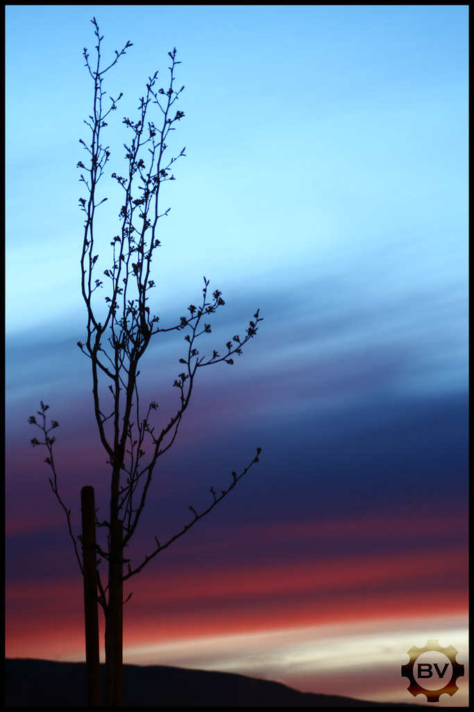
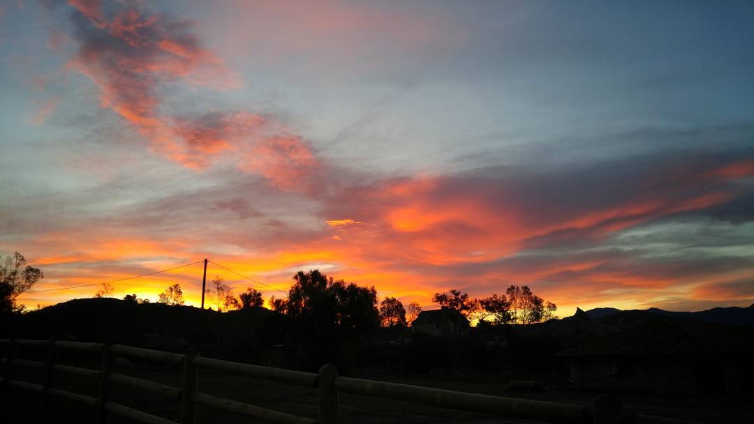
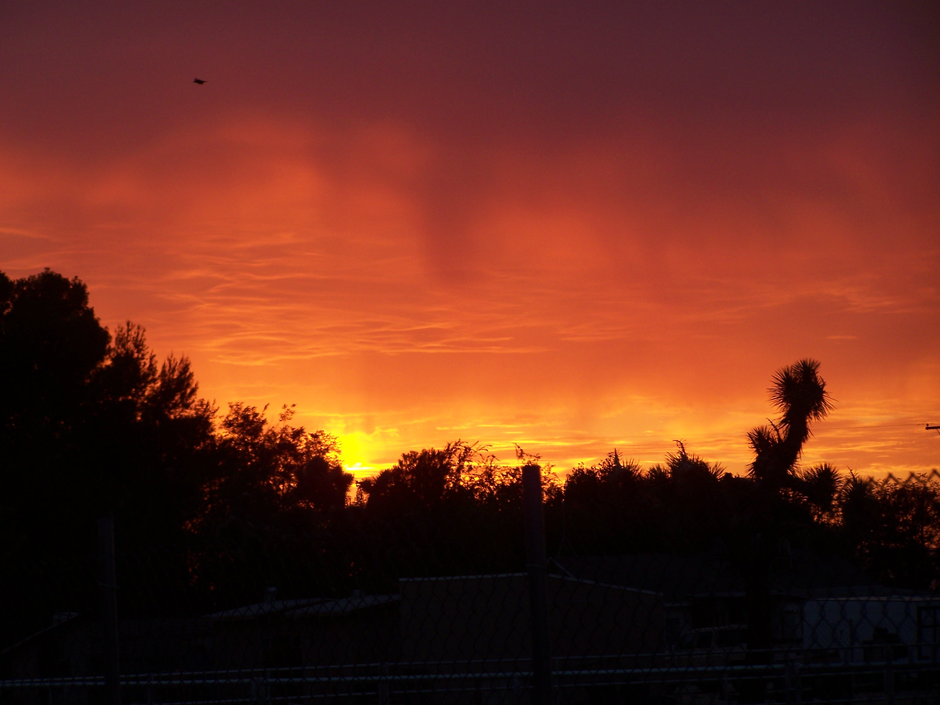
日出日落照片

Orange Laser

1ST RAIN IN 6 MONTHS (EXPLORE 2014 Nov 7)

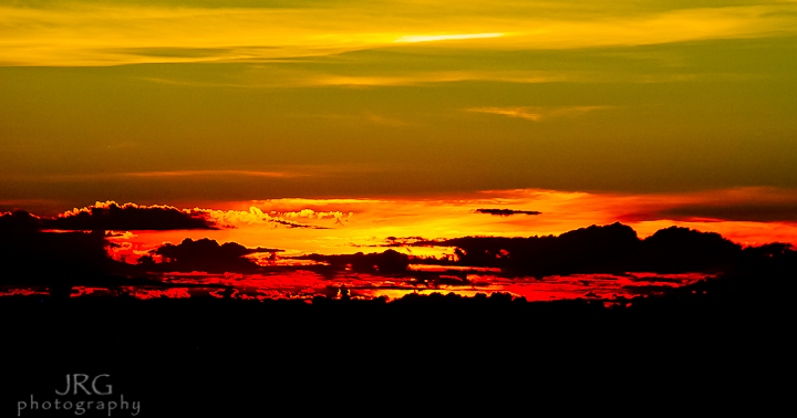
Water Tower Sunset
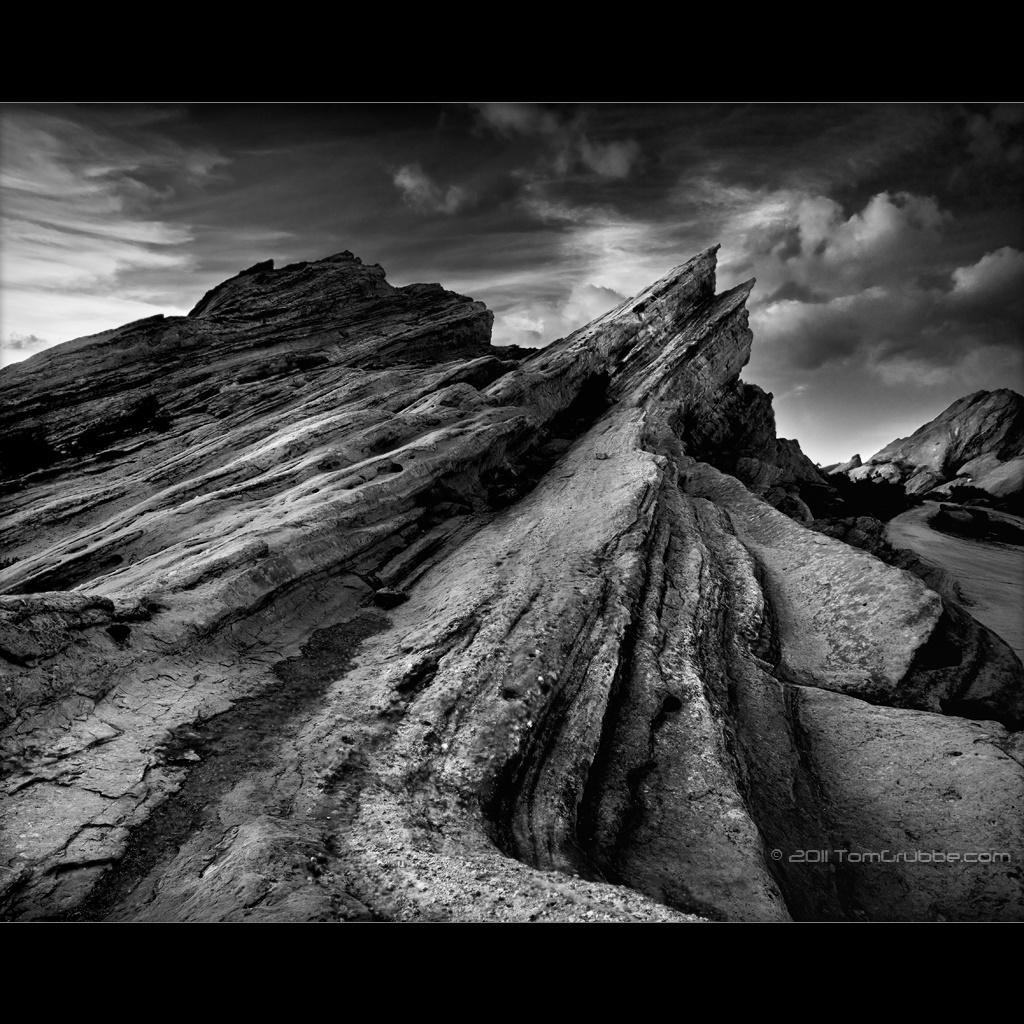
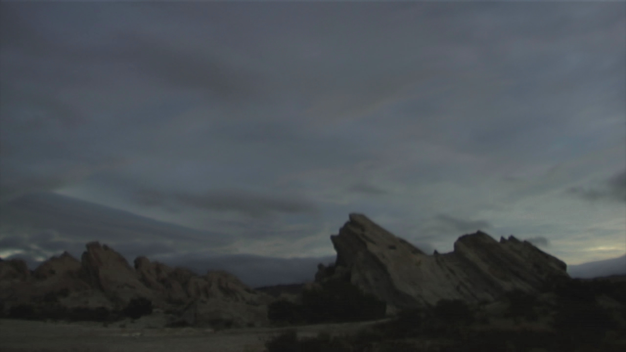
Vasquez Rocks B&W
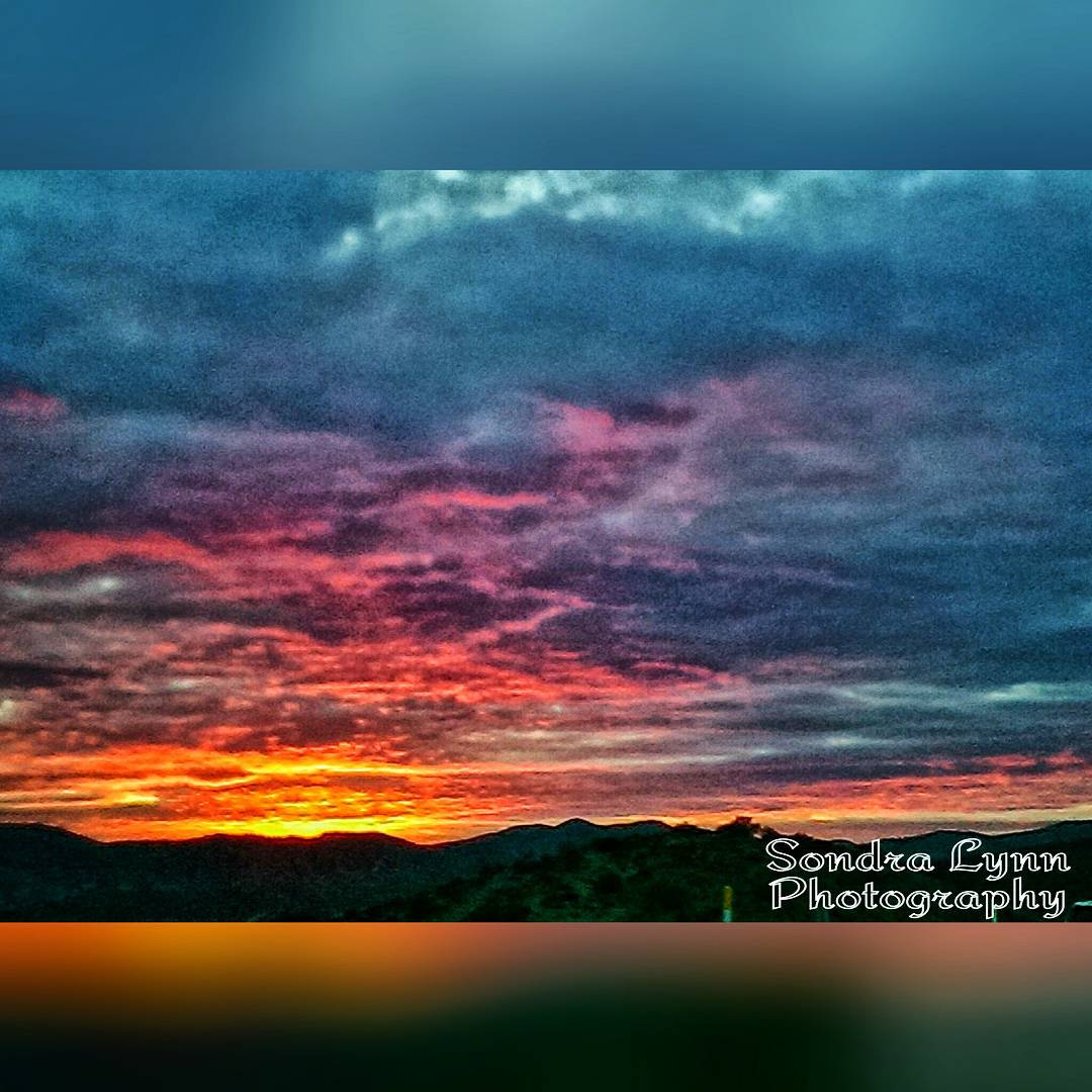
Beautiful sunset while driving down the 14 #Freeway toward #Newhall, #California #Photolife #Sondralynnphotography #sky #sunset #colors #clouds #views #cold #outside #America #beautiful #nature
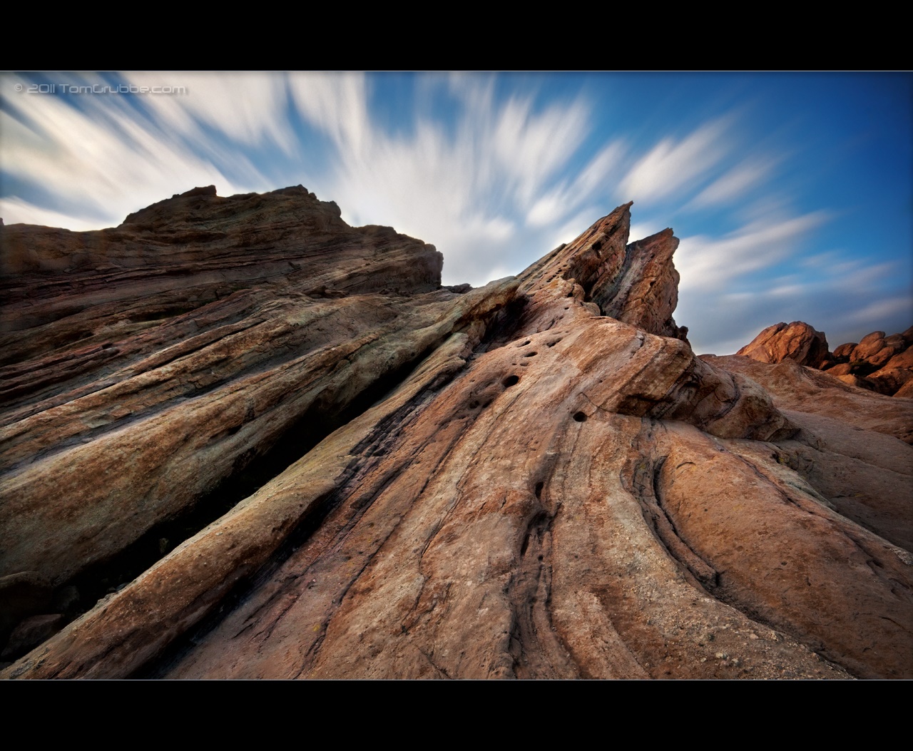
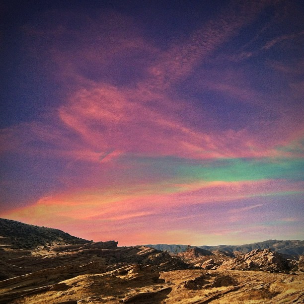
Vasquez Timescape
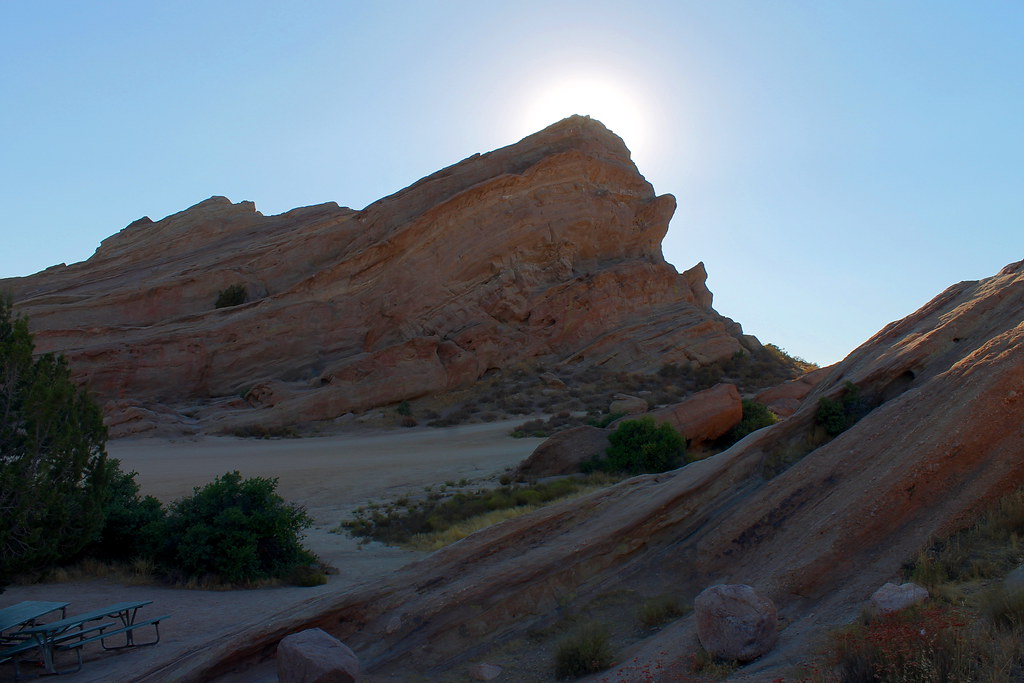
Vasquez Rocks
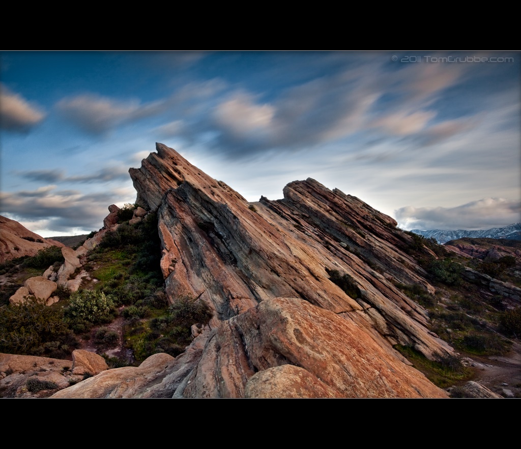
Vasquez Rocks

"Vasquez Sunset"

Sunset over the Abandoned Vineyard
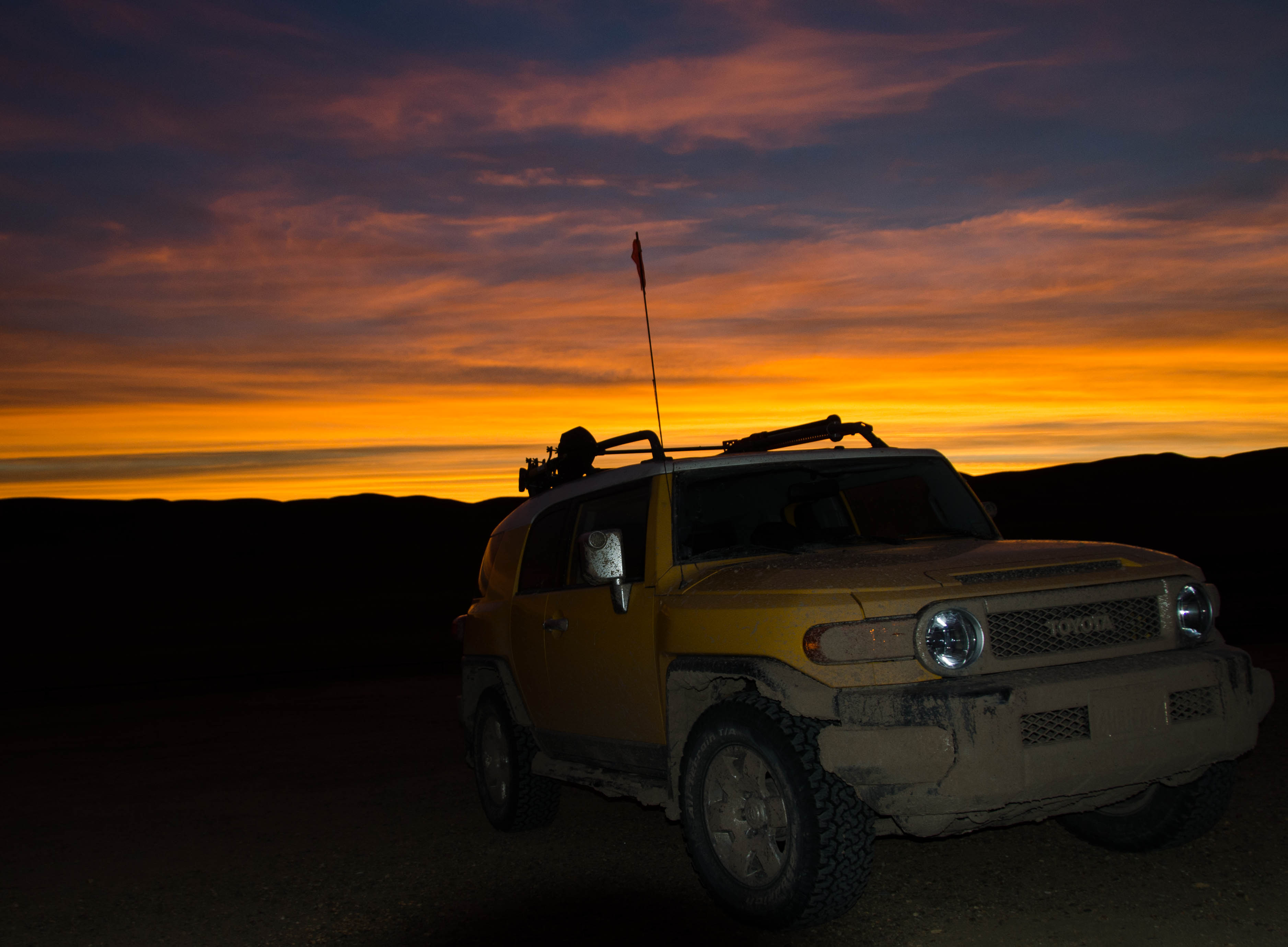
Fuego - Aqua Dulce

What Mattered
Sunset and TidyTip

Carrizo Plain Sunset
The gorgeous sky above So Cal // A beautiful area where they have filmed many movies: #StarTrek #Flintstones #austinpowers // #iphone via #ClearCam + #blender + #snapseed + #PhotoForge2

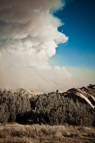
Crown Fire-4
Beautiful Sunset
Awesome sunrise from last Sunday before our photo shoot. #beautiful
Burning Sky
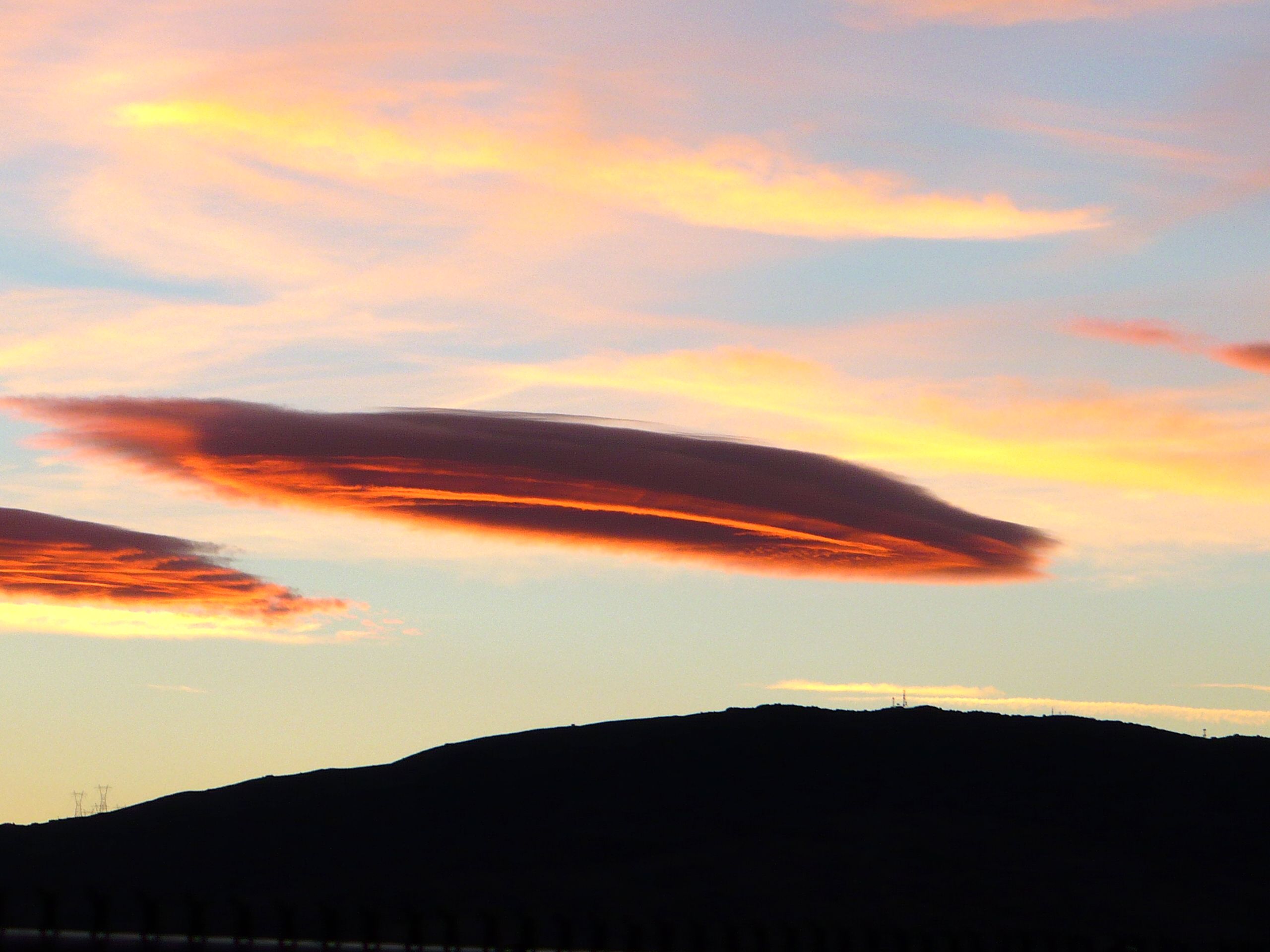
UFOs?
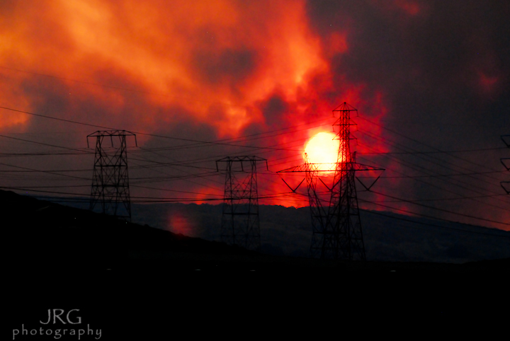
Crown Fire-5
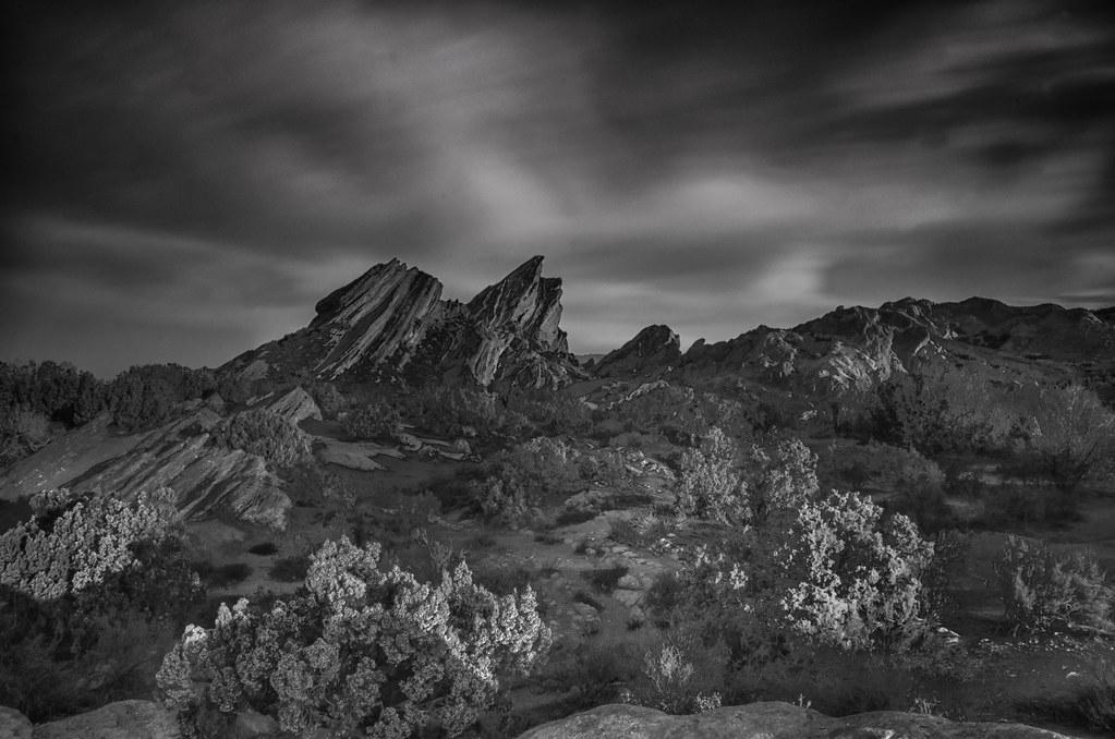
Vasquez 66

the sun is up .. one more opportunity from GOD
Crown Fire-11

Valley Sunrise 3
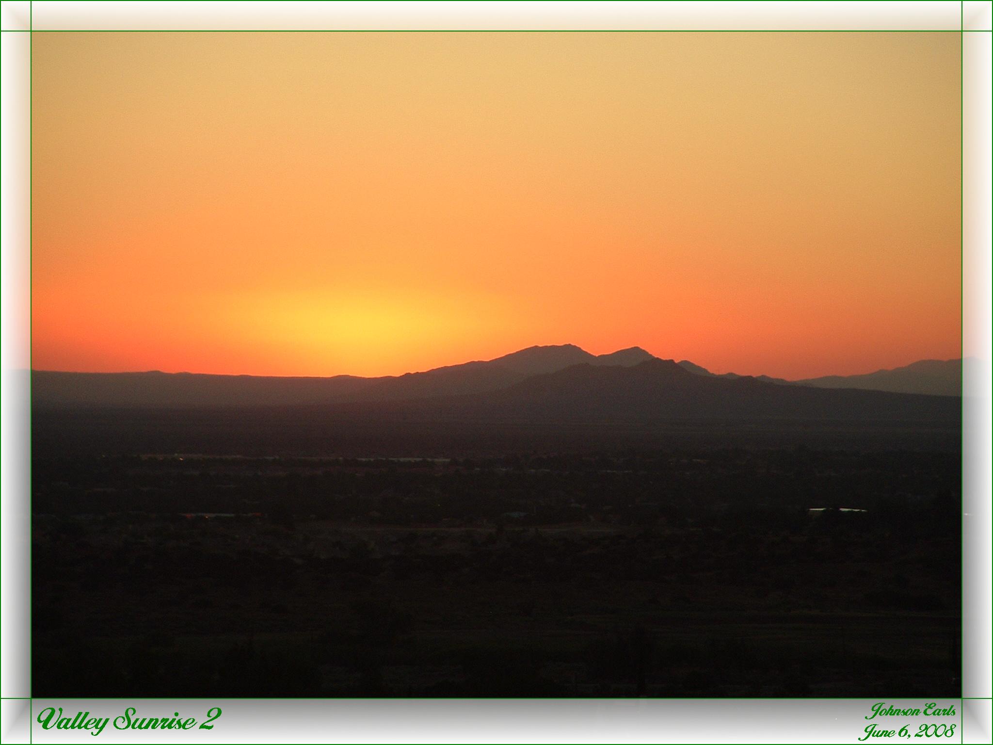
Valley Sunrise 2
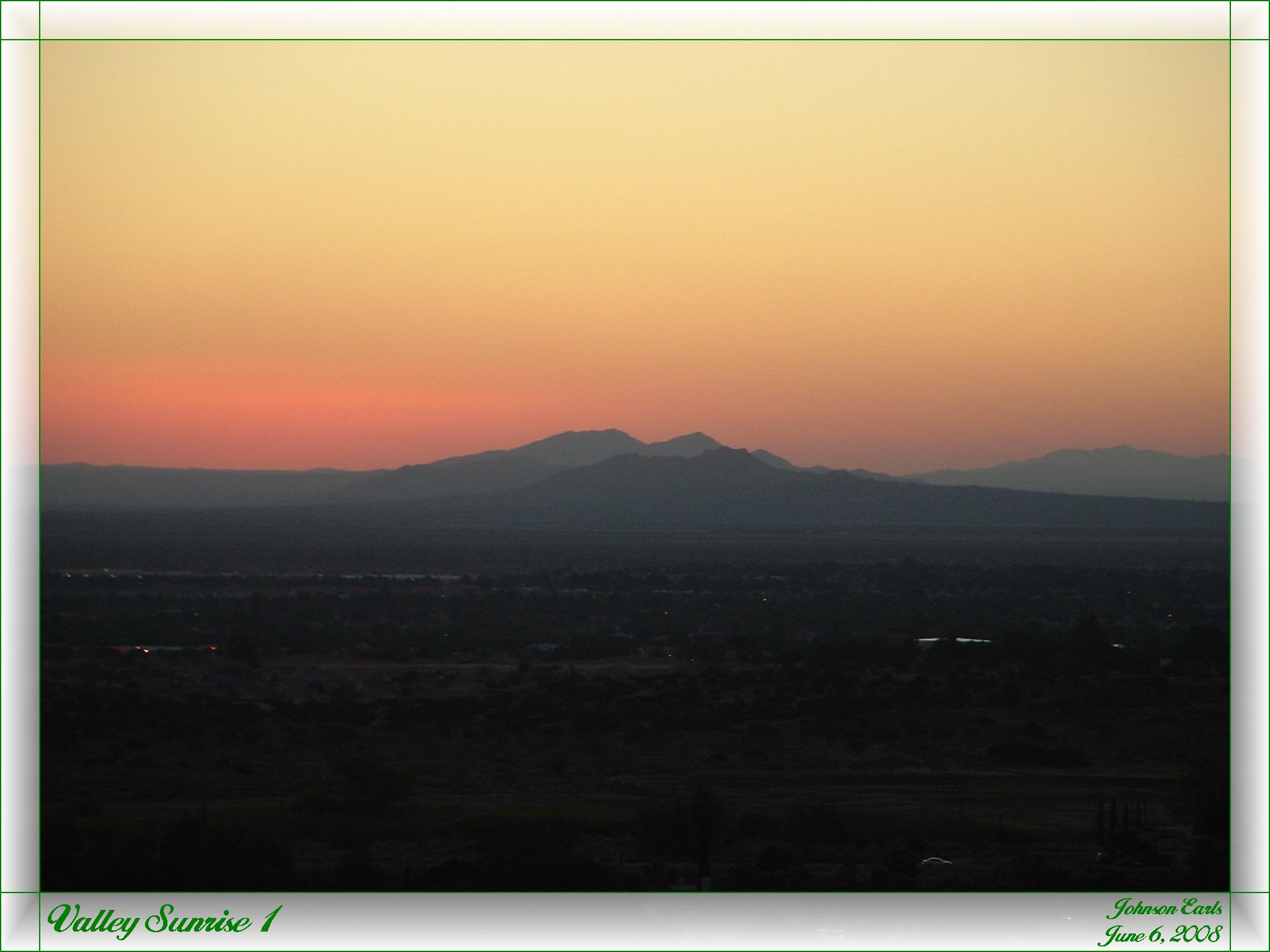
Valley Sunrise 1
Crown Fire-20
vasquez sunrise
Hierba Rd, Agua Dulce, CA 美國的地圖
搜索其他地方的日出日落時間
附近地點
Anthony Rd, Agua Dulce, CA 美國
Wallace Canyon Rd, Santa Clarita, CA 美國
Sierra Hwy, Santa Clarita, CA 美國
Valley Sage Rd, Acton, CA 美國
Valley Sage Rd, Acton, CA 美國
Sierra Hwy, Santa Clarita, CA 美國
Valley Sage Rd, Acton, CA 美國
Ranchitos Dr, Acton, CA 美國
Shannon Valley Rd, Acton, CA 美國
Castlehaven Rd, Agua Dulce, CA 美國
Agua Dulce, CA 美國
Escondido Canyon Rd, Agua Dulce, CA 美國Vasquez Rocks Natural Area Park
Via Famero Dr, Acton, CA 美國
美國加利福尼亞州聖塔克拉利塔
Camino Del Sol, Santa Clarita, CA 美國
Bouquet Canyon Rd, Santa Clarita, CA 美國
Bouquet Canyon Rd, Santa Clarita, CA 美國
Larchfork Rd, Acton, CA 美國
Canter Ln, Acton, CA 美國
Sierra Hwy, Santa Clarita, CA 美國
最近搜索
- Makabecho Makabe, Sakuragawa, Ibaraki -, Japan的日出日落時間表
- 87 Kilmartin Ave, Bristol, CT, USA的日出日落時間表
- 1 Chome-8 Inohana, Chuo Ward, Chiba, -日本的日出日落時間表
- 1-chōme-8-1 Inohana, Chuo Ward, Chiba, -日本的日出日落時間表
- Hercules Dr, Colorado Springs, CO 美國的日出日落時間表
- Chiharadaihigashi, Ichihara, Chiba -日本的日出日落時間表
- West Sugar Creek, Charlotte, NC 美國的日出日落時間表
- 智利比奥比奥孔图尔莫的日出日落時間表
- 智利比奧比奧孔圖爾莫孔图尔莫的日出日落時間表
- Steadfast Ct, Daphne, AL 美國的日出日落時間表