Brunswick Ave, Emporia, VA 美國的日出日落時間表
Location: 美國 > 弗吉尼亞州 > 美國維吉尼亞州恩波里亞 >
時區:
America/New_York
當地時間:
2024-04-24 13:22:25
經度:
-77.5560085
緯度:
36.6874184
今天日出時間:
06:22:10 AM
今天日落時間:
07:53:55 PM
今天日照時長:
13h 31m 45s
明天日出時間:
06:20:59 AM
明天日落時間:
07:54:47 PM
明天日照時長:
13h 33m 48s
顯示所有日期
| 日期 | 日出 | 日落 | 日照時長 |
|---|---|---|---|
| 2024年01月01日 | 07:22:38 AM | 05:05:20 PM | 9h 42m 42s |
| 2024年01月02日 | 07:22:46 AM | 05:06:07 PM | 9h 43m 21s |
| 2024年01月03日 | 07:22:52 AM | 05:06:57 PM | 9h 44m 5s |
| 2024年01月04日 | 07:22:56 AM | 05:07:47 PM | 9h 44m 51s |
| 2024年01月05日 | 07:22:58 AM | 05:08:38 PM | 9h 45m 40s |
| 2024年01月06日 | 07:22:58 AM | 05:09:31 PM | 9h 46m 33s |
| 2024年01月07日 | 07:22:56 AM | 05:10:25 PM | 9h 47m 29s |
| 2024年01月08日 | 07:22:52 AM | 05:11:19 PM | 9h 48m 27s |
| 2024年01月09日 | 07:22:46 AM | 05:12:15 PM | 9h 49m 29s |
| 2024年01月10日 | 07:22:38 AM | 05:13:11 PM | 9h 50m 33s |
| 2024年01月11日 | 07:22:28 AM | 05:14:09 PM | 9h 51m 41s |
| 2024年01月12日 | 07:22:15 AM | 05:15:07 PM | 9h 52m 52s |
| 2024年01月13日 | 07:22:01 AM | 05:16:05 PM | 9h 54m 4s |
| 2024年01月14日 | 07:21:45 AM | 05:17:05 PM | 9h 55m 20s |
| 2024年01月15日 | 07:21:27 AM | 05:18:05 PM | 9h 56m 38s |
| 2024年01月16日 | 07:21:07 AM | 05:19:06 PM | 9h 57m 59s |
| 2024年01月17日 | 07:20:45 AM | 05:20:07 PM | 9h 59m 22s |
| 2024年01月18日 | 07:20:21 AM | 05:21:09 PM | 10h 0m 48s |
| 2024年01月19日 | 07:19:55 AM | 05:22:11 PM | 10h 2m 16s |
| 2024年01月20日 | 07:19:28 AM | 05:23:14 PM | 10h 3m 46s |
| 2024年01月21日 | 07:18:58 AM | 05:24:17 PM | 10h 5m 19s |
| 2024年01月22日 | 07:18:27 AM | 05:25:21 PM | 10h 6m 54s |
| 2024年01月23日 | 07:17:53 AM | 05:26:24 PM | 10h 8m 31s |
| 2024年01月24日 | 07:17:18 AM | 05:27:28 PM | 10h 10m 10s |
| 2024年01月25日 | 07:16:41 AM | 05:28:32 PM | 10h 11m 51s |
| 2024年01月26日 | 07:16:03 AM | 05:29:37 PM | 10h 13m 34s |
| 2024年01月27日 | 07:15:22 AM | 05:30:41 PM | 10h 15m 19s |
| 2024年01月28日 | 07:14:40 AM | 05:31:46 PM | 10h 17m 6s |
| 2024年01月29日 | 07:13:56 AM | 05:32:50 PM | 10h 18m 54s |
| 2024年01月30日 | 07:13:11 AM | 05:33:55 PM | 10h 20m 44s |
| 2024年01月31日 | 07:12:24 AM | 05:35:00 PM | 10h 22m 36s |
| 2024年02月01日 | 07:11:35 AM | 05:36:04 PM | 10h 24m 29s |
| 2024年02月02日 | 07:10:45 AM | 05:37:09 PM | 10h 26m 24s |
| 2024年02月03日 | 07:09:53 AM | 05:38:13 PM | 10h 28m 20s |
| 2024年02月04日 | 07:08:59 AM | 05:39:18 PM | 10h 30m 19s |
| 2024年02月05日 | 07:08:05 AM | 05:40:22 PM | 10h 32m 17s |
| 2024年02月06日 | 07:07:08 AM | 05:41:26 PM | 10h 34m 18s |
| 2024年02月07日 | 07:06:11 AM | 05:42:30 PM | 10h 36m 19s |
| 2024年02月08日 | 07:05:11 AM | 05:43:34 PM | 10h 38m 23s |
| 2024年02月09日 | 07:04:11 AM | 05:44:37 PM | 10h 40m 26s |
| 2024年02月10日 | 07:03:09 AM | 05:45:40 PM | 10h 42m 31s |
| 2024年02月11日 | 07:02:06 AM | 05:46:44 PM | 10h 44m 38s |
| 2024年02月12日 | 07:01:02 AM | 05:47:46 PM | 10h 46m 44s |
| 2024年02月13日 | 06:59:56 AM | 05:48:49 PM | 10h 48m 53s |
| 2024年02月14日 | 06:58:49 AM | 05:49:51 PM | 10h 51m 2s |
| 2024年02月15日 | 06:57:41 AM | 05:50:53 PM | 10h 53m 12s |
| 2024年02月16日 | 06:56:32 AM | 05:51:55 PM | 10h 55m 23s |
| 2024年02月17日 | 06:55:22 AM | 05:52:56 PM | 10h 57m 34s |
| 2024年02月18日 | 06:54:11 AM | 05:53:57 PM | 10h 59m 46s |
| 2024年02月19日 | 06:52:58 AM | 05:54:58 PM | 11h 2m 0s |
| 2024年02月20日 | 06:51:45 AM | 05:55:58 PM | 11h 4m 13s |
| 2024年02月21日 | 06:50:31 AM | 05:56:58 PM | 11h 6m 27s |
| 2024年02月22日 | 06:49:16 AM | 05:57:58 PM | 11h 8m 42s |
| 2024年02月23日 | 06:48:00 AM | 05:58:58 PM | 11h 10m 58s |
| 2024年02月24日 | 06:46:43 AM | 05:59:57 PM | 11h 13m 14s |
| 2024年02月25日 | 06:45:25 AM | 06:00:56 PM | 11h 15m 31s |
| 2024年02月26日 | 06:44:06 AM | 06:01:54 PM | 11h 17m 48s |
| 2024年02月27日 | 06:42:47 AM | 06:02:52 PM | 11h 20m 5s |
| 2024年02月28日 | 06:41:27 AM | 06:03:50 PM | 11h 22m 23s |
| 2024年02月29日 | 06:40:06 AM | 06:04:47 PM | 11h 24m 41s |
| 2024年03月01日 | 06:38:44 AM | 06:05:45 PM | 11h 27m 1s |
| 2024年03月02日 | 06:37:22 AM | 06:06:41 PM | 11h 29m 19s |
| 2024年03月03日 | 06:35:59 AM | 06:07:38 PM | 11h 31m 39s |
| 2024年03月04日 | 06:34:36 AM | 06:08:34 PM | 11h 33m 58s |
| 2024年03月05日 | 06:33:12 AM | 06:09:30 PM | 11h 36m 18s |
| 2024年03月06日 | 06:31:48 AM | 06:10:26 PM | 11h 38m 38s |
| 2024年03月07日 | 06:30:23 AM | 06:11:22 PM | 11h 40m 59s |
| 2024年03月08日 | 06:28:58 AM | 06:12:17 PM | 11h 43m 19s |
| 2024年03月09日 | 06:27:32 AM | 06:13:12 PM | 11h 45m 40s |
| 2024年03月10日 | 07:26:09 AM | 07:14:04 PM | 11h 47m 55s |
| 2024年03月11日 | 07:24:43 AM | 07:14:59 PM | 11h 50m 16s |
| 2024年03月12日 | 07:23:16 AM | 07:15:53 PM | 11h 52m 37s |
| 2024年03月13日 | 07:21:49 AM | 07:16:47 PM | 11h 54m 58s |
| 2024年03月14日 | 07:20:21 AM | 07:17:41 PM | 11h 57m 20s |
| 2024年03月15日 | 07:18:53 AM | 07:18:34 PM | 11h 59m 41s |
| 2024年03月16日 | 07:17:25 AM | 07:19:28 PM | 12h 2m 3s |
| 2024年03月17日 | 07:15:57 AM | 07:20:21 PM | 12h 4m 24s |
| 2024年03月18日 | 07:14:29 AM | 07:21:14 PM | 12h 6m 45s |
| 2024年03月19日 | 07:13:01 AM | 07:22:07 PM | 12h 9m 6s |
| 2024年03月20日 | 07:11:32 AM | 07:23:00 PM | 12h 11m 28s |
| 2024年03月21日 | 07:10:04 AM | 07:23:52 PM | 12h 13m 48s |
| 2024年03月22日 | 07:08:35 AM | 07:24:45 PM | 12h 16m 10s |
| 2024年03月23日 | 07:07:07 AM | 07:25:37 PM | 12h 18m 30s |
| 2024年03月24日 | 07:05:38 AM | 07:26:30 PM | 12h 20m 52s |
| 2024年03月25日 | 07:04:10 AM | 07:27:22 PM | 12h 23m 12s |
| 2024年03月26日 | 07:02:41 AM | 07:28:14 PM | 12h 25m 33s |
| 2024年03月27日 | 07:01:13 AM | 07:29:06 PM | 12h 27m 53s |
| 2024年03月28日 | 06:59:45 AM | 07:29:58 PM | 12h 30m 13s |
| 2024年03月29日 | 06:58:17 AM | 07:30:50 PM | 12h 32m 33s |
| 2024年03月30日 | 06:56:49 AM | 07:31:42 PM | 12h 34m 53s |
| 2024年03月31日 | 06:55:21 AM | 07:32:34 PM | 12h 37m 13s |
| 2024年04月01日 | 06:53:54 AM | 07:33:26 PM | 12h 39m 32s |
| 2024年04月02日 | 06:52:27 AM | 07:34:18 PM | 12h 41m 51s |
| 2024年04月03日 | 06:51:00 AM | 07:35:10 PM | 12h 44m 10s |
| 2024年04月04日 | 06:49:34 AM | 07:36:02 PM | 12h 46m 28s |
| 2024年04月05日 | 06:48:08 AM | 07:36:54 PM | 12h 48m 46s |
| 2024年04月06日 | 06:46:43 AM | 07:37:46 PM | 12h 51m 3s |
| 2024年04月07日 | 06:45:18 AM | 07:38:38 PM | 12h 53m 20s |
| 2024年04月08日 | 06:43:53 AM | 07:39:30 PM | 12h 55m 37s |
| 2024年04月09日 | 06:42:29 AM | 07:40:22 PM | 12h 57m 53s |
| 2024年04月10日 | 06:41:05 AM | 07:41:14 PM | 13h 0m 9s |
| 2024年04月11日 | 06:39:42 AM | 07:42:06 PM | 13h 2m 24s |
| 2024年04月12日 | 06:38:20 AM | 07:42:58 PM | 13h 4m 38s |
| 2024年04月13日 | 06:36:58 AM | 07:43:51 PM | 13h 6m 53s |
| 2024年04月14日 | 06:35:37 AM | 07:44:43 PM | 13h 9m 6s |
| 2024年04月15日 | 06:34:16 AM | 07:45:35 PM | 13h 11m 19s |
| 2024年04月16日 | 06:32:56 AM | 07:46:28 PM | 13h 13m 32s |
| 2024年04月17日 | 06:31:37 AM | 07:47:20 PM | 13h 15m 43s |
| 2024年04月18日 | 06:30:19 AM | 07:48:13 PM | 13h 17m 54s |
| 2024年04月19日 | 06:29:01 AM | 07:49:05 PM | 13h 20m 4s |
| 2024年04月20日 | 06:27:45 AM | 07:49:58 PM | 13h 22m 13s |
| 2024年04月21日 | 06:26:29 AM | 07:50:50 PM | 13h 24m 21s |
| 2024年04月22日 | 06:25:14 AM | 07:51:43 PM | 13h 26m 29s |
| 2024年04月23日 | 06:24:00 AM | 07:52:36 PM | 13h 28m 36s |
| 2024年04月24日 | 06:22:46 AM | 07:53:28 PM | 13h 30m 42s |
| 2024年04月25日 | 06:21:34 AM | 07:54:21 PM | 13h 32m 47s |
| 2024年04月26日 | 06:20:23 AM | 07:55:14 PM | 13h 34m 51s |
| 2024年04月27日 | 06:19:13 AM | 07:56:06 PM | 13h 36m 53s |
| 2024年04月28日 | 06:18:04 AM | 07:56:59 PM | 13h 38m 55s |
| 2024年04月29日 | 06:16:56 AM | 07:57:52 PM | 13h 40m 56s |
| 2024年04月30日 | 06:15:49 AM | 07:58:44 PM | 13h 42m 55s |
| 2024年05月01日 | 06:14:43 AM | 07:59:37 PM | 13h 44m 54s |
| 2024年05月02日 | 06:13:39 AM | 08:00:29 PM | 13h 46m 50s |
| 2024年05月03日 | 06:12:35 AM | 08:01:21 PM | 13h 48m 46s |
| 2024年05月04日 | 06:11:33 AM | 08:02:14 PM | 13h 50m 41s |
| 2024年05月05日 | 06:10:32 AM | 08:03:06 PM | 13h 52m 34s |
| 2024年05月06日 | 06:09:33 AM | 08:03:58 PM | 13h 54m 25s |
| 2024年05月07日 | 06:08:34 AM | 08:04:50 PM | 13h 56m 16s |
| 2024年05月08日 | 06:07:37 AM | 08:05:41 PM | 13h 58m 4s |
| 2024年05月09日 | 06:06:42 AM | 08:06:33 PM | 13h 59m 51s |
| 2024年05月10日 | 06:05:47 AM | 08:07:24 PM | 14h 1m 37s |
| 2024年05月11日 | 06:04:55 AM | 08:08:15 PM | 14h 3m 20s |
| 2024年05月12日 | 06:04:03 AM | 08:09:05 PM | 14h 5m 2s |
| 2024年05月13日 | 06:03:13 AM | 08:09:56 PM | 14h 6m 43s |
| 2024年05月14日 | 06:02:25 AM | 08:10:46 PM | 14h 8m 21s |
| 2024年05月15日 | 06:01:38 AM | 08:11:35 PM | 14h 9m 57s |
| 2024年05月16日 | 06:00:52 AM | 08:12:24 PM | 14h 11m 32s |
| 2024年05月17日 | 06:00:08 AM | 08:13:13 PM | 14h 13m 5s |
| 2024年05月18日 | 05:59:26 AM | 08:14:02 PM | 14h 14m 36s |
| 2024年05月19日 | 05:58:45 AM | 08:14:49 PM | 14h 16m 4s |
| 2024年05月20日 | 05:58:06 AM | 08:15:37 PM | 14h 17m 31s |
| 2024年05月21日 | 05:57:28 AM | 08:16:23 PM | 14h 18m 55s |
| 2024年05月22日 | 05:56:52 AM | 08:17:09 PM | 14h 20m 17s |
| 2024年05月23日 | 05:56:18 AM | 08:17:55 PM | 14h 21m 37s |
| 2024年05月24日 | 05:55:46 AM | 08:18:40 PM | 14h 22m 54s |
| 2024年05月25日 | 05:55:15 AM | 08:19:24 PM | 14h 24m 9s |
| 2024年05月26日 | 05:54:45 AM | 08:20:07 PM | 14h 25m 22s |
| 2024年05月27日 | 05:54:18 AM | 08:20:50 PM | 14h 26m 32s |
| 2024年05月28日 | 05:53:52 AM | 08:21:31 PM | 14h 27m 39s |
| 2024年05月29日 | 05:53:28 AM | 08:22:12 PM | 14h 28m 44s |
| 2024年05月30日 | 05:53:05 AM | 08:22:52 PM | 14h 29m 47s |
| 2024年05月31日 | 05:52:45 AM | 08:23:31 PM | 14h 30m 46s |
| 2024年06月01日 | 05:52:26 AM | 08:24:10 PM | 14h 31m 44s |
| 2024年06月02日 | 05:52:09 AM | 08:24:47 PM | 14h 32m 38s |
| 2024年06月03日 | 05:51:53 AM | 08:25:23 PM | 14h 33m 30s |
| 2024年06月04日 | 05:51:40 AM | 08:25:58 PM | 14h 34m 18s |
| 2024年06月05日 | 05:51:28 AM | 08:26:32 PM | 14h 35m 4s |
| 2024年06月06日 | 05:51:17 AM | 08:27:04 PM | 14h 35m 47s |
| 2024年06月07日 | 05:51:09 AM | 08:27:36 PM | 14h 36m 27s |
| 2024年06月08日 | 05:51:02 AM | 08:28:06 PM | 14h 37m 4s |
| 2024年06月09日 | 05:50:57 AM | 08:28:35 PM | 14h 37m 38s |
| 2024年06月10日 | 05:50:54 AM | 08:29:03 PM | 14h 38m 9s |
| 2024年06月11日 | 05:50:52 AM | 08:29:29 PM | 14h 38m 37s |
| 2024年06月12日 | 05:50:53 AM | 08:29:54 PM | 14h 39m 1s |
| 2024年06月13日 | 05:50:54 AM | 08:30:18 PM | 14h 39m 24s |
| 2024年06月14日 | 05:50:58 AM | 08:30:40 PM | 14h 39m 42s |
| 2024年06月15日 | 05:51:03 AM | 08:31:01 PM | 14h 39m 58s |
| 2024年06月16日 | 05:51:10 AM | 08:31:20 PM | 14h 40m 10s |
| 2024年06月17日 | 05:51:18 AM | 08:31:38 PM | 14h 40m 20s |
| 2024年06月18日 | 05:51:28 AM | 08:31:54 PM | 14h 40m 26s |
| 2024年06月19日 | 05:51:40 AM | 08:32:09 PM | 14h 40m 29s |
| 2024年06月20日 | 05:51:53 AM | 08:32:22 PM | 14h 40m 29s |
| 2024年06月21日 | 05:52:07 AM | 08:32:33 PM | 14h 40m 26s |
| 2024年06月22日 | 05:52:23 AM | 08:32:43 PM | 14h 40m 20s |
| 2024年06月23日 | 05:52:41 AM | 08:32:51 PM | 14h 40m 10s |
| 2024年06月24日 | 05:53:00 AM | 08:32:57 PM | 14h 39m 57s |
| 2024年06月25日 | 05:53:21 AM | 08:33:02 PM | 14h 39m 41s |
| 2024年06月26日 | 05:53:42 AM | 08:33:05 PM | 14h 39m 23s |
| 2024年06月27日 | 05:54:06 AM | 08:33:06 PM | 14h 39m 0s |
| 2024年06月28日 | 05:54:30 AM | 08:33:06 PM | 14h 38m 36s |
| 2024年06月29日 | 05:54:56 AM | 08:33:04 PM | 14h 38m 8s |
| 2024年06月30日 | 05:55:23 AM | 08:33:00 PM | 14h 37m 37s |
| 2024年07月01日 | 05:55:51 AM | 08:32:54 PM | 14h 37m 3s |
| 2024年07月02日 | 05:56:21 AM | 08:32:47 PM | 14h 36m 26s |
| 2024年07月03日 | 05:56:52 AM | 08:32:37 PM | 14h 35m 45s |
| 2024年07月04日 | 05:57:23 AM | 08:32:26 PM | 14h 35m 3s |
| 2024年07月05日 | 05:57:56 AM | 08:32:13 PM | 14h 34m 17s |
| 2024年07月06日 | 05:58:30 AM | 08:31:59 PM | 14h 33m 29s |
| 2024年07月07日 | 05:59:05 AM | 08:31:42 PM | 14h 32m 37s |
| 2024年07月08日 | 05:59:41 AM | 08:31:24 PM | 14h 31m 43s |
| 2024年07月09日 | 06:00:18 AM | 08:31:04 PM | 14h 30m 46s |
| 2024年07月10日 | 06:00:55 AM | 08:30:42 PM | 14h 29m 47s |
| 2024年07月11日 | 06:01:34 AM | 08:30:19 PM | 14h 28m 45s |
| 2024年07月12日 | 06:02:13 AM | 08:29:54 PM | 14h 27m 41s |
| 2024年07月13日 | 06:02:53 AM | 08:29:27 PM | 14h 26m 34s |
| 2024年07月14日 | 06:03:34 AM | 08:28:58 PM | 14h 25m 24s |
| 2024年07月15日 | 06:04:16 AM | 08:28:27 PM | 14h 24m 11s |
| 2024年07月16日 | 06:04:58 AM | 08:27:55 PM | 14h 22m 57s |
| 2024年07月17日 | 06:05:41 AM | 08:27:21 PM | 14h 21m 40s |
| 2024年07月18日 | 06:06:24 AM | 08:26:46 PM | 14h 20m 22s |
| 2024年07月19日 | 06:07:08 AM | 08:26:08 PM | 14h 19m 0s |
| 2024年07月20日 | 06:07:53 AM | 08:25:29 PM | 14h 17m 36s |
| 2024年07月21日 | 06:08:38 AM | 08:24:49 PM | 14h 16m 11s |
| 2024年07月22日 | 06:09:23 AM | 08:24:07 PM | 14h 14m 44s |
| 2024年07月23日 | 06:10:09 AM | 08:23:23 PM | 14h 13m 14s |
| 2024年07月24日 | 06:10:56 AM | 08:22:37 PM | 14h 11m 41s |
| 2024年07月25日 | 06:11:42 AM | 08:21:50 PM | 14h 10m 8s |
| 2024年07月26日 | 06:12:29 AM | 08:21:02 PM | 14h 8m 33s |
| 2024年07月27日 | 06:13:17 AM | 08:20:12 PM | 14h 6m 55s |
| 2024年07月28日 | 06:14:04 AM | 08:19:21 PM | 14h 5m 17s |
| 2024年07月29日 | 06:14:52 AM | 08:18:28 PM | 14h 3m 36s |
| 2024年07月30日 | 06:15:40 AM | 08:17:33 PM | 14h 1m 53s |
| 2024年07月31日 | 06:16:29 AM | 08:16:37 PM | 14h 0m 8s |
| 2024年08月01日 | 06:17:17 AM | 08:15:40 PM | 13h 58m 23s |
| 2024年08月02日 | 06:18:06 AM | 08:14:42 PM | 13h 56m 36s |
| 2024年08月03日 | 06:18:55 AM | 08:13:42 PM | 13h 54m 47s |
| 2024年08月04日 | 06:19:44 AM | 08:12:40 PM | 13h 52m 56s |
| 2024年08月05日 | 06:20:33 AM | 08:11:38 PM | 13h 51m 5s |
| 2024年08月06日 | 06:21:22 AM | 08:10:34 PM | 13h 49m 12s |
| 2024年08月07日 | 06:22:11 AM | 08:09:29 PM | 13h 47m 18s |
| 2024年08月08日 | 06:23:00 AM | 08:08:23 PM | 13h 45m 23s |
| 2024年08月09日 | 06:23:49 AM | 08:07:15 PM | 13h 43m 26s |
| 2024年08月10日 | 06:24:38 AM | 08:06:07 PM | 13h 41m 29s |
| 2024年08月11日 | 06:25:28 AM | 08:04:57 PM | 13h 39m 29s |
| 2024年08月12日 | 06:26:17 AM | 08:03:46 PM | 13h 37m 29s |
| 2024年08月13日 | 06:27:06 AM | 08:02:34 PM | 13h 35m 28s |
| 2024年08月14日 | 06:27:55 AM | 08:01:22 PM | 13h 33m 27s |
| 2024年08月15日 | 06:28:44 AM | 08:00:08 PM | 13h 31m 24s |
| 2024年08月16日 | 06:29:33 AM | 07:58:53 PM | 13h 29m 20s |
| 2024年08月17日 | 06:30:22 AM | 07:57:37 PM | 13h 27m 15s |
| 2024年08月18日 | 06:31:11 AM | 07:56:20 PM | 13h 25m 9s |
| 2024年08月19日 | 06:32:00 AM | 07:55:03 PM | 13h 23m 3s |
| 2024年08月20日 | 06:32:49 AM | 07:53:44 PM | 13h 20m 55s |
| 2024年08月21日 | 06:33:37 AM | 07:52:25 PM | 13h 18m 48s |
| 2024年08月22日 | 06:34:26 AM | 07:51:05 PM | 13h 16m 39s |
| 2024年08月23日 | 06:35:15 AM | 07:49:44 PM | 13h 14m 29s |
| 2024年08月24日 | 06:36:03 AM | 07:48:22 PM | 13h 12m 19s |
| 2024年08月25日 | 06:36:51 AM | 07:47:00 PM | 13h 10m 9s |
| 2024年08月26日 | 06:37:40 AM | 07:45:37 PM | 13h 7m 57s |
| 2024年08月27日 | 06:38:28 AM | 07:44:13 PM | 13h 5m 45s |
| 2024年08月28日 | 06:39:16 AM | 07:42:49 PM | 13h 3m 33s |
| 2024年08月29日 | 06:40:04 AM | 07:41:24 PM | 13h 1m 20s |
| 2024年08月30日 | 06:40:52 AM | 07:39:58 PM | 12h 59m 6s |
| 2024年08月31日 | 06:41:40 AM | 07:38:32 PM | 12h 56m 52s |
| 2024年09月01日 | 06:42:28 AM | 07:37:06 PM | 12h 54m 38s |
| 2024年09月02日 | 06:43:16 AM | 07:35:39 PM | 12h 52m 23s |
| 2024年09月03日 | 06:44:03 AM | 07:34:11 PM | 12h 50m 8s |
| 2024年09月04日 | 06:44:51 AM | 07:32:43 PM | 12h 47m 52s |
| 2024年09月05日 | 06:45:39 AM | 07:31:15 PM | 12h 45m 36s |
| 2024年09月06日 | 06:46:26 AM | 07:29:46 PM | 12h 43m 20s |
| 2024年09月07日 | 06:47:14 AM | 07:28:17 PM | 12h 41m 3s |
| 2024年09月08日 | 06:48:02 AM | 07:26:48 PM | 12h 38m 46s |
| 2024年09月09日 | 06:48:49 AM | 07:25:18 PM | 12h 36m 29s |
| 2024年09月10日 | 06:49:37 AM | 07:23:48 PM | 12h 34m 11s |
| 2024年09月11日 | 06:50:24 AM | 07:22:18 PM | 12h 31m 54s |
| 2024年09月12日 | 06:51:12 AM | 07:20:48 PM | 12h 29m 36s |
| 2024年09月13日 | 06:52:00 AM | 07:19:18 PM | 12h 27m 18s |
| 2024年09月14日 | 06:52:48 AM | 07:17:47 PM | 12h 24m 59s |
| 2024年09月15日 | 06:53:35 AM | 07:16:16 PM | 12h 22m 41s |
| 2024年09月16日 | 06:54:23 AM | 07:14:45 PM | 12h 20m 22s |
| 2024年09月17日 | 06:55:11 AM | 07:13:15 PM | 12h 18m 4s |
| 2024年09月18日 | 06:55:59 AM | 07:11:44 PM | 12h 15m 45s |
| 2024年09月19日 | 06:56:47 AM | 07:10:13 PM | 12h 13m 26s |
| 2024年09月20日 | 06:57:36 AM | 07:08:42 PM | 12h 11m 6s |
| 2024年09月21日 | 06:58:24 AM | 07:07:11 PM | 12h 8m 47s |
| 2024年09月22日 | 06:59:13 AM | 07:05:41 PM | 12h 6m 28s |
| 2024年09月23日 | 07:00:01 AM | 07:04:10 PM | 12h 4m 9s |
| 2024年09月24日 | 07:00:50 AM | 07:02:40 PM | 12h 1m 50s |
| 2024年09月25日 | 07:01:39 AM | 07:01:10 PM | 11h 59m 31s |
| 2024年09月26日 | 07:02:28 AM | 06:59:40 PM | 11h 57m 12s |
| 2024年09月27日 | 07:03:18 AM | 06:58:10 PM | 11h 54m 52s |
| 2024年09月28日 | 07:04:07 AM | 06:56:41 PM | 11h 52m 34s |
| 2024年09月29日 | 07:04:57 AM | 06:55:12 PM | 11h 50m 15s |
| 2024年09月30日 | 07:05:47 AM | 06:53:43 PM | 11h 47m 56s |
| 2024年10月01日 | 07:06:37 AM | 06:52:14 PM | 11h 45m 37s |
| 2024年10月02日 | 07:07:28 AM | 06:50:46 PM | 11h 43m 18s |
| 2024年10月03日 | 07:08:19 AM | 06:49:19 PM | 11h 41m 0s |
| 2024年10月04日 | 07:09:10 AM | 06:47:51 PM | 11h 38m 41s |
| 2024年10月05日 | 07:10:01 AM | 06:46:25 PM | 11h 36m 24s |
| 2024年10月06日 | 07:10:53 AM | 06:44:59 PM | 11h 34m 6s |
| 2024年10月07日 | 07:11:45 AM | 06:43:33 PM | 11h 31m 48s |
| 2024年10月08日 | 07:12:37 AM | 06:42:08 PM | 11h 29m 31s |
| 2024年10月09日 | 07:13:30 AM | 06:40:43 PM | 11h 27m 13s |
| 2024年10月10日 | 07:14:23 AM | 06:39:19 PM | 11h 24m 56s |
| 2024年10月11日 | 07:15:16 AM | 06:37:56 PM | 11h 22m 40s |
| 2024年10月12日 | 07:16:09 AM | 06:36:34 PM | 11h 20m 25s |
| 2024年10月13日 | 07:17:03 AM | 06:35:12 PM | 11h 18m 9s |
| 2024年10月14日 | 07:17:58 AM | 06:33:51 PM | 11h 15m 53s |
| 2024年10月15日 | 07:18:52 AM | 06:32:31 PM | 11h 13m 39s |
| 2024年10月16日 | 07:19:47 AM | 06:31:12 PM | 11h 11m 25s |
| 2024年10月17日 | 07:20:42 AM | 06:29:53 PM | 11h 9m 11s |
| 2024年10月18日 | 07:21:38 AM | 06:28:36 PM | 11h 6m 58s |
| 2024年10月19日 | 07:22:34 AM | 06:27:19 PM | 11h 4m 45s |
| 2024年10月20日 | 07:23:30 AM | 06:26:03 PM | 11h 2m 33s |
| 2024年10月21日 | 07:24:27 AM | 06:24:48 PM | 11h 0m 21s |
| 2024年10月22日 | 07:25:24 AM | 06:23:35 PM | 10h 58m 11s |
| 2024年10月23日 | 07:26:21 AM | 06:22:22 PM | 10h 56m 1s |
| 2024年10月24日 | 07:27:19 AM | 06:21:10 PM | 10h 53m 51s |
| 2024年10月25日 | 07:28:17 AM | 06:20:00 PM | 10h 51m 43s |
| 2024年10月26日 | 07:29:16 AM | 06:18:51 PM | 10h 49m 35s |
| 2024年10月27日 | 07:30:14 AM | 06:17:43 PM | 10h 47m 29s |
| 2024年10月28日 | 07:31:13 AM | 06:16:36 PM | 10h 45m 23s |
| 2024年10月29日 | 07:32:13 AM | 06:15:30 PM | 10h 43m 17s |
| 2024年10月30日 | 07:33:12 AM | 06:14:26 PM | 10h 41m 14s |
| 2024年10月31日 | 07:34:12 AM | 06:13:22 PM | 10h 39m 10s |
| 2024年11月01日 | 07:35:12 AM | 06:12:21 PM | 10h 37m 9s |
| 2024年11月02日 | 07:36:13 AM | 06:11:20 PM | 10h 35m 7s |
| 2024年11月03日 | 06:37:16 AM | 05:10:19 PM | 10h 33m 3s |
| 2024年11月04日 | 06:38:17 AM | 05:09:22 PM | 10h 31m 5s |
| 2024年11月05日 | 06:39:18 AM | 05:08:26 PM | 10h 29m 8s |
| 2024年11月06日 | 06:40:19 AM | 05:07:31 PM | 10h 27m 12s |
| 2024年11月07日 | 06:41:20 AM | 05:06:38 PM | 10h 25m 18s |
| 2024年11月08日 | 06:42:22 AM | 05:05:47 PM | 10h 23m 25s |
| 2024年11月09日 | 06:43:23 AM | 05:04:57 PM | 10h 21m 34s |
| 2024年11月10日 | 06:44:25 AM | 05:04:09 PM | 10h 19m 44s |
| 2024年11月11日 | 06:45:27 AM | 05:03:23 PM | 10h 17m 56s |
| 2024年11月12日 | 06:46:28 AM | 05:02:38 PM | 10h 16m 10s |
| 2024年11月13日 | 06:47:30 AM | 05:01:55 PM | 10h 14m 25s |
| 2024年11月14日 | 06:48:32 AM | 05:01:13 PM | 10h 12m 41s |
| 2024年11月15日 | 06:49:33 AM | 05:00:34 PM | 10h 11m 1s |
| 2024年11月16日 | 06:50:35 AM | 04:59:56 PM | 10h 9m 21s |
| 2024年11月17日 | 06:51:36 AM | 04:59:20 PM | 10h 7m 44s |
| 2024年11月18日 | 06:52:37 AM | 04:58:46 PM | 10h 6m 9s |
| 2024年11月19日 | 06:53:38 AM | 04:58:14 PM | 10h 4m 36s |
| 2024年11月20日 | 06:54:38 AM | 04:57:43 PM | 10h 3m 5s |
| 2024年11月21日 | 06:55:39 AM | 04:57:15 PM | 10h 1m 36s |
| 2024年11月22日 | 06:56:39 AM | 04:56:48 PM | 10h 0m 9s |
| 2024年11月23日 | 06:57:38 AM | 04:56:24 PM | 9h 58m 46s |
| 2024年11月24日 | 06:58:37 AM | 04:56:01 PM | 9h 57m 24s |
| 2024年11月25日 | 06:59:36 AM | 04:55:41 PM | 9h 56m 5s |
| 2024年11月26日 | 07:00:34 AM | 04:55:22 PM | 9h 54m 48s |
| 2024年11月27日 | 07:01:31 AM | 04:55:05 PM | 9h 53m 34s |
| 2024年11月28日 | 07:02:28 AM | 04:54:51 PM | 9h 52m 23s |
| 2024年11月29日 | 07:03:24 AM | 04:54:38 PM | 9h 51m 14s |
| 2024年11月30日 | 07:04:19 AM | 04:54:28 PM | 9h 50m 9s |
| 2024年12月01日 | 07:05:14 AM | 04:54:19 PM | 9h 49m 5s |
| 2024年12月02日 | 07:06:08 AM | 04:54:13 PM | 9h 48m 5s |
| 2024年12月03日 | 07:07:01 AM | 04:54:08 PM | 9h 47m 7s |
| 2024年12月04日 | 07:07:53 AM | 04:54:06 PM | 9h 46m 13s |
| 2024年12月05日 | 07:08:44 AM | 04:54:06 PM | 9h 45m 22s |
| 2024年12月06日 | 07:09:34 AM | 04:54:07 PM | 9h 44m 33s |
| 2024年12月07日 | 07:10:23 AM | 04:54:11 PM | 9h 43m 48s |
| 2024年12月08日 | 07:11:10 AM | 04:54:17 PM | 9h 43m 7s |
| 2024年12月09日 | 07:11:57 AM | 04:54:25 PM | 9h 42m 28s |
| 2024年12月10日 | 07:12:42 AM | 04:54:35 PM | 9h 41m 53s |
| 2024年12月11日 | 07:13:26 AM | 04:54:47 PM | 9h 41m 21s |
| 2024年12月12日 | 07:14:09 AM | 04:55:00 PM | 9h 40m 51s |
| 2024年12月13日 | 07:14:50 AM | 04:55:16 PM | 9h 40m 26s |
| 2024年12月14日 | 07:15:30 AM | 04:55:34 PM | 9h 40m 4s |
| 2024年12月15日 | 07:16:09 AM | 04:55:54 PM | 9h 39m 45s |
| 2024年12月16日 | 07:16:46 AM | 04:56:15 PM | 9h 39m 29s |
| 2024年12月17日 | 07:17:21 AM | 04:56:39 PM | 9h 39m 18s |
| 2024年12月18日 | 07:17:55 AM | 04:57:04 PM | 9h 39m 9s |
| 2024年12月19日 | 07:18:27 AM | 04:57:32 PM | 9h 39m 5s |
| 2024年12月20日 | 07:18:58 AM | 04:58:01 PM | 9h 39m 3s |
| 2024年12月21日 | 07:19:27 AM | 04:58:31 PM | 9h 39m 4s |
| 2024年12月22日 | 07:19:54 AM | 04:59:04 PM | 9h 39m 10s |
| 2024年12月23日 | 07:20:20 AM | 04:59:38 PM | 9h 39m 18s |
| 2024年12月24日 | 07:20:43 AM | 05:00:14 PM | 9h 39m 31s |
| 2024年12月25日 | 07:21:05 AM | 05:00:51 PM | 9h 39m 46s |
| 2024年12月26日 | 07:21:25 AM | 05:01:31 PM | 9h 40m 6s |
| 2024年12月27日 | 07:21:43 AM | 05:02:11 PM | 9h 40m 28s |
| 2024年12月28日 | 07:21:59 AM | 05:02:53 PM | 9h 40m 54s |
| 2024年12月29日 | 07:22:13 AM | 05:03:37 PM | 9h 41m 24s |
| 2024年12月30日 | 07:22:26 AM | 05:04:22 PM | 9h 41m 56s |
日出日落照片
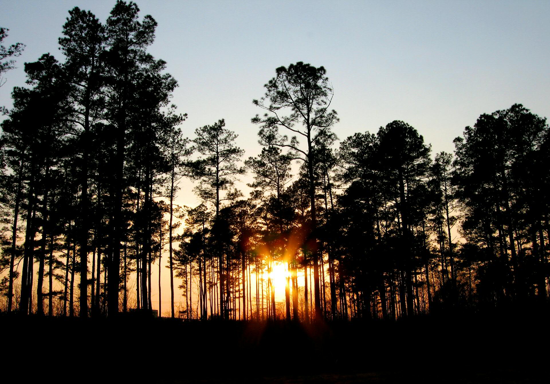
Jarrat Sunset
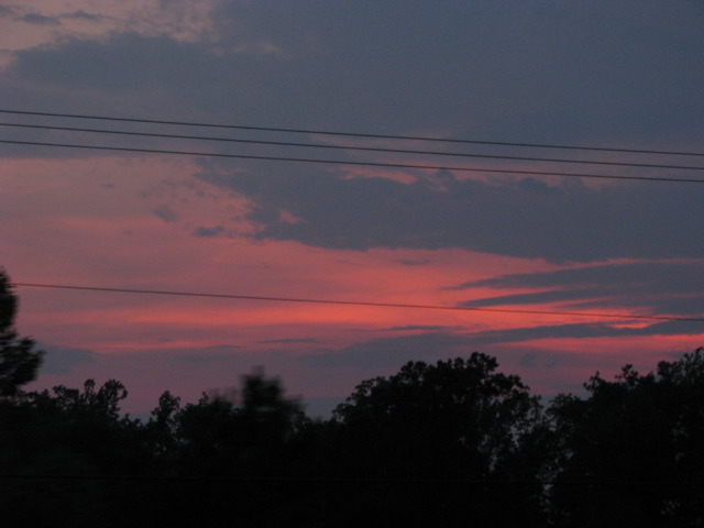
Requisit sunset photo
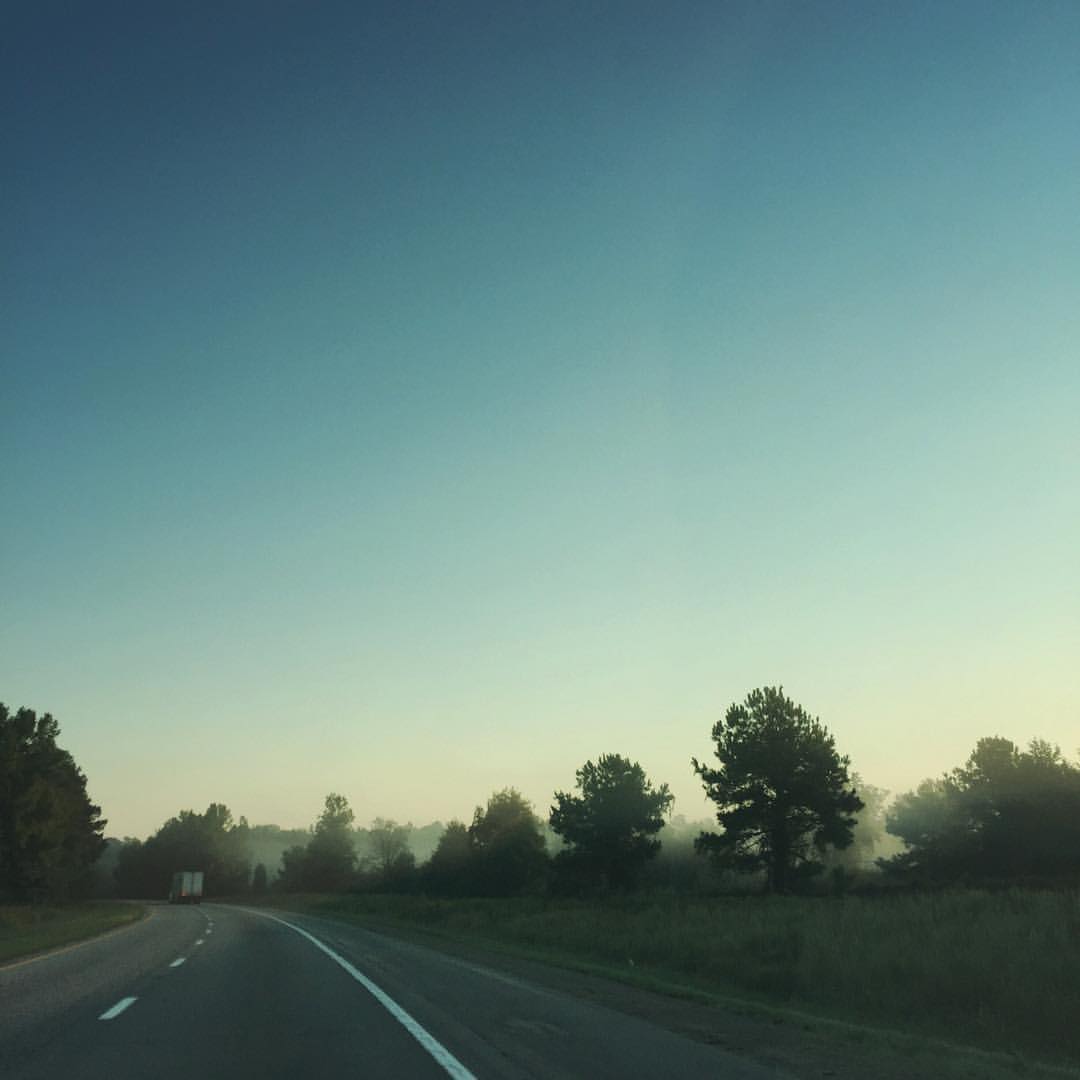
Virginia Mist — #roadtrip #virginia #sunrise #morning #nature #photography
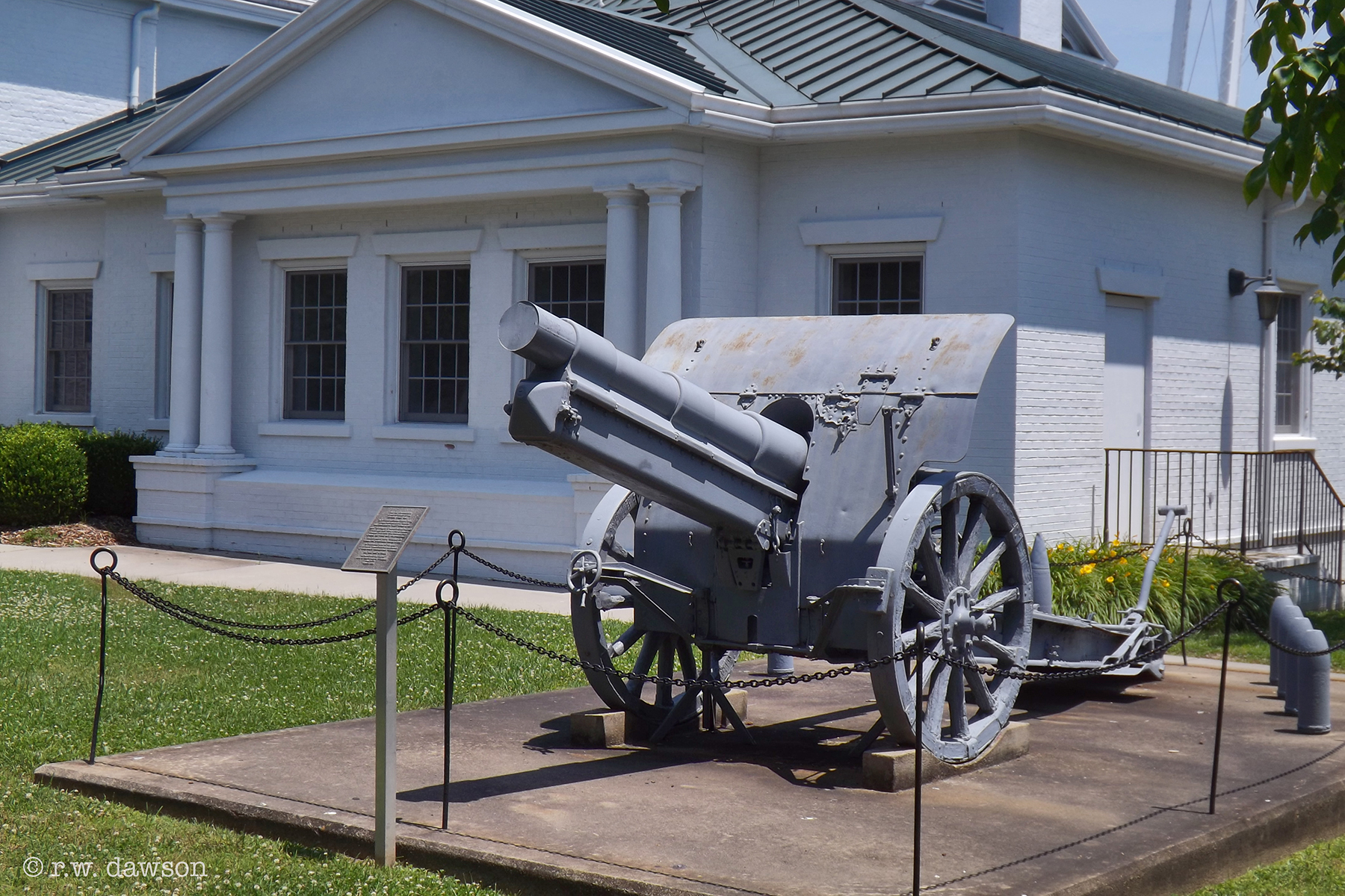
Memorial to Veterans of WWI

Village View Manson House

Hehe :)

Monumental UMC Emporia VA
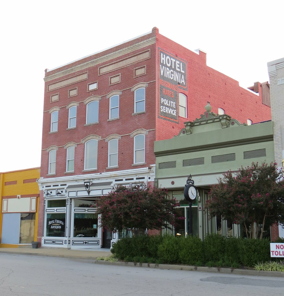
Hotel Virginia 2 Emporia VA
This is a thing.
Roadtrip 09 Day 12 001
Highway To Hell
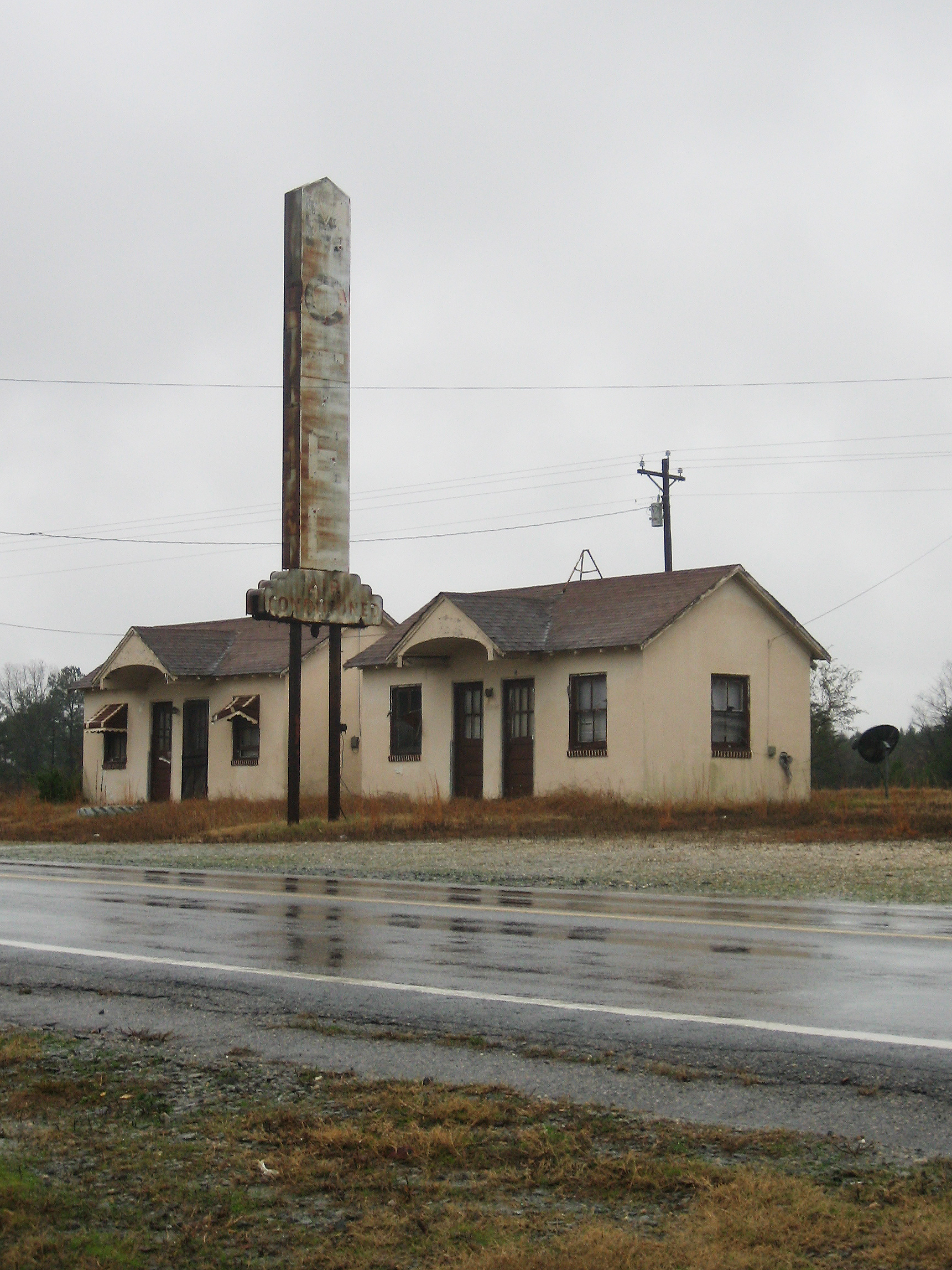
Another Abandoned Motel
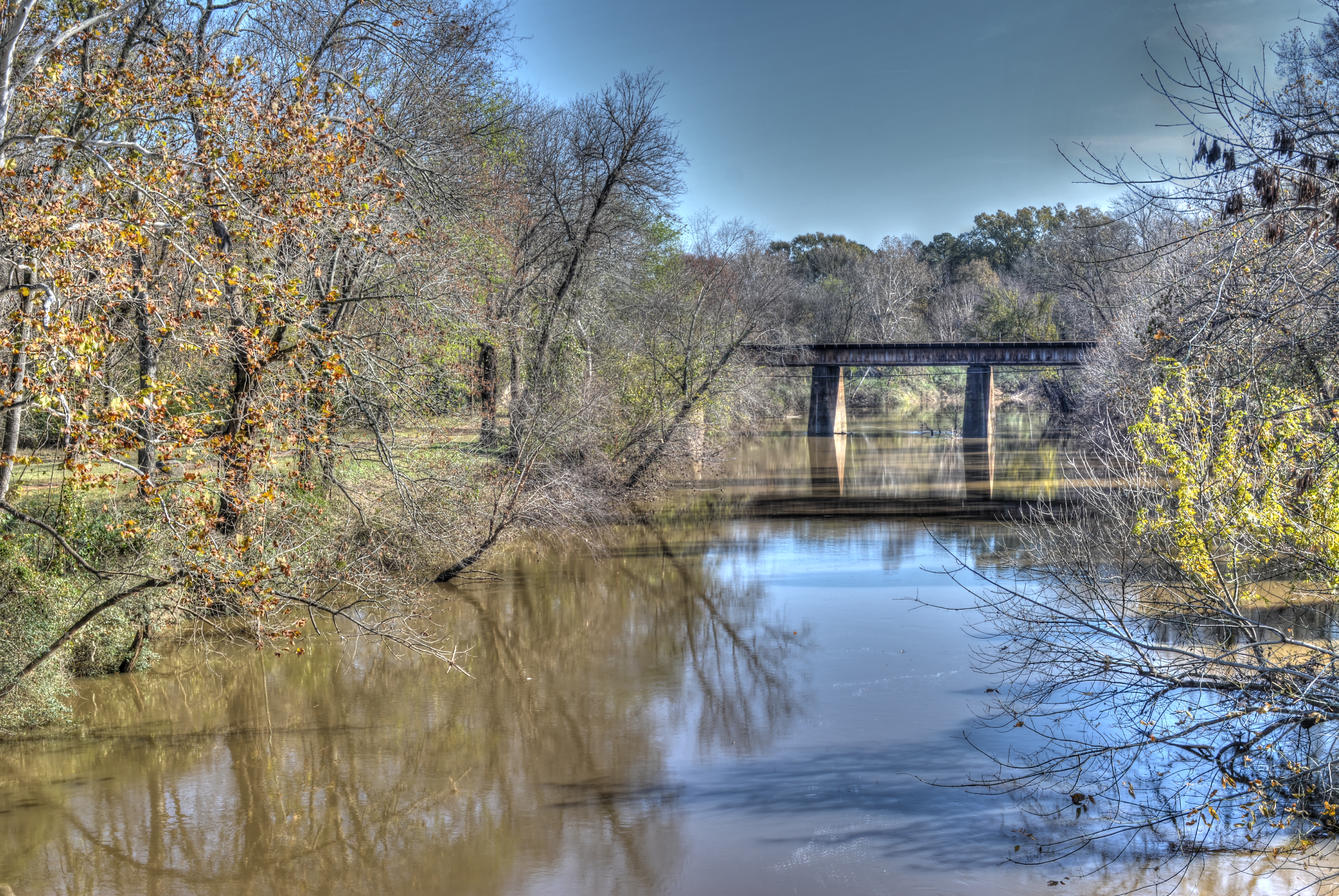
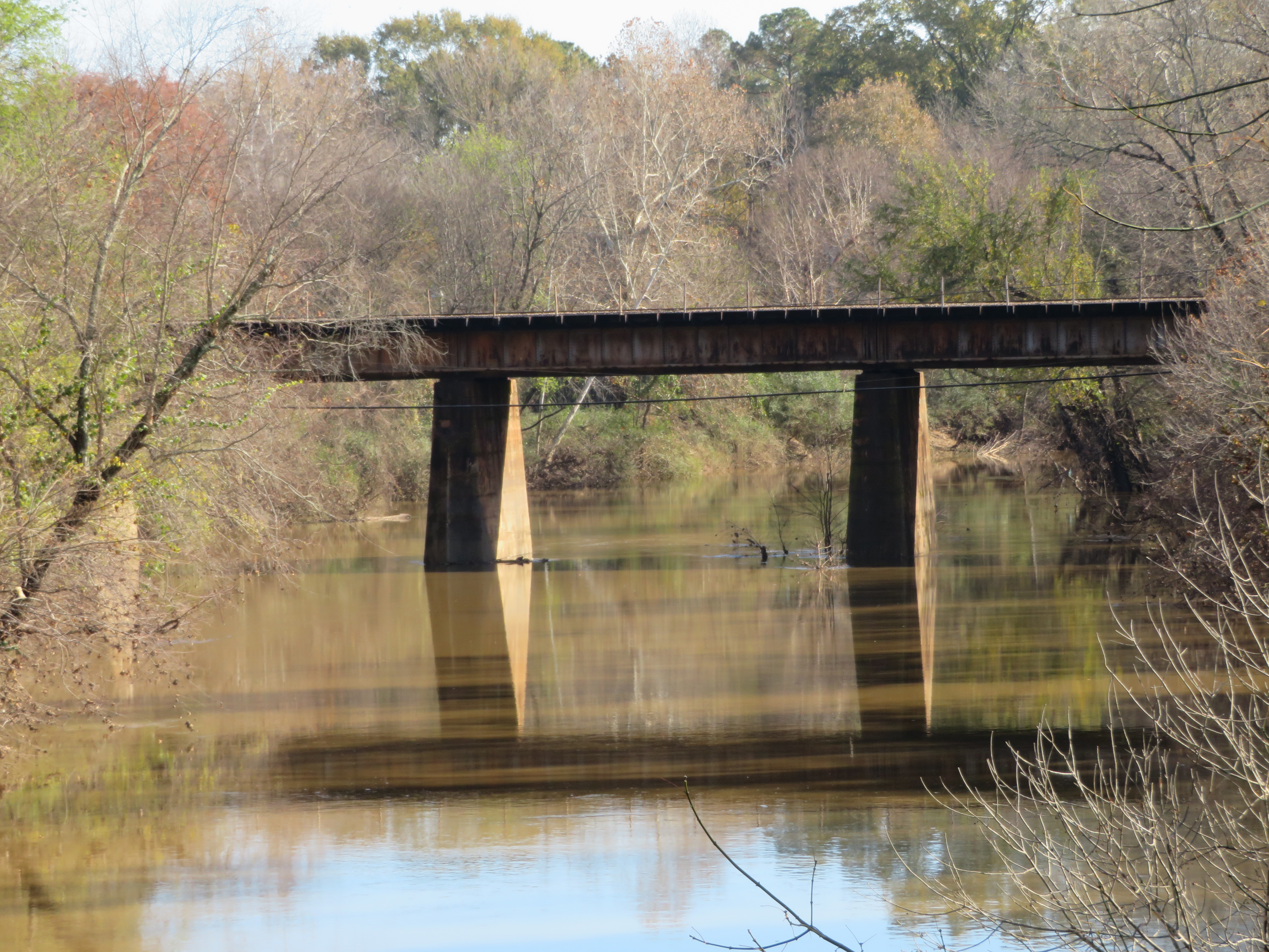
20181125_1 Meherrin River HDR (Emporia VA)
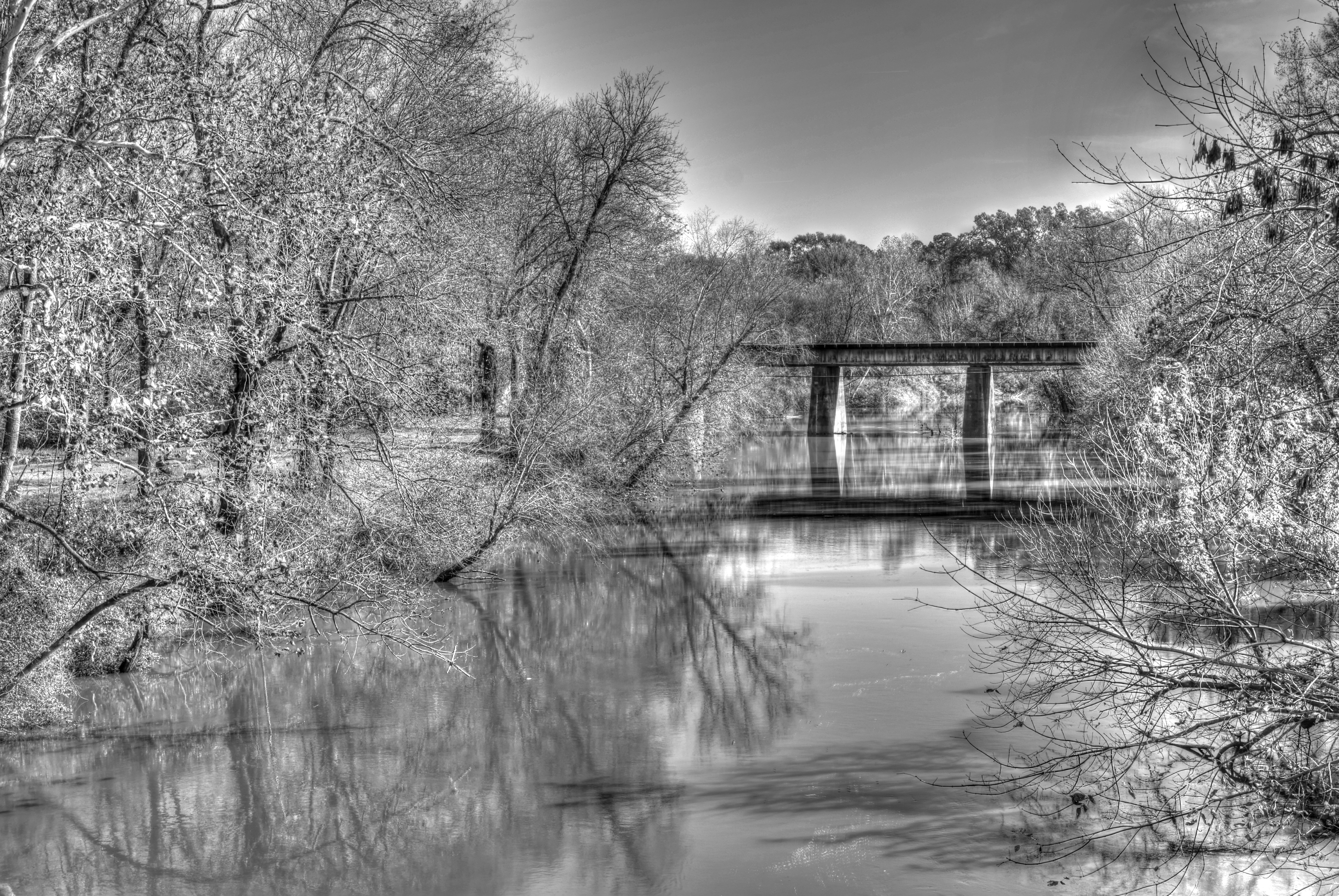
20181125_2 Meherrin River HDR - B&W (Emporia VA)
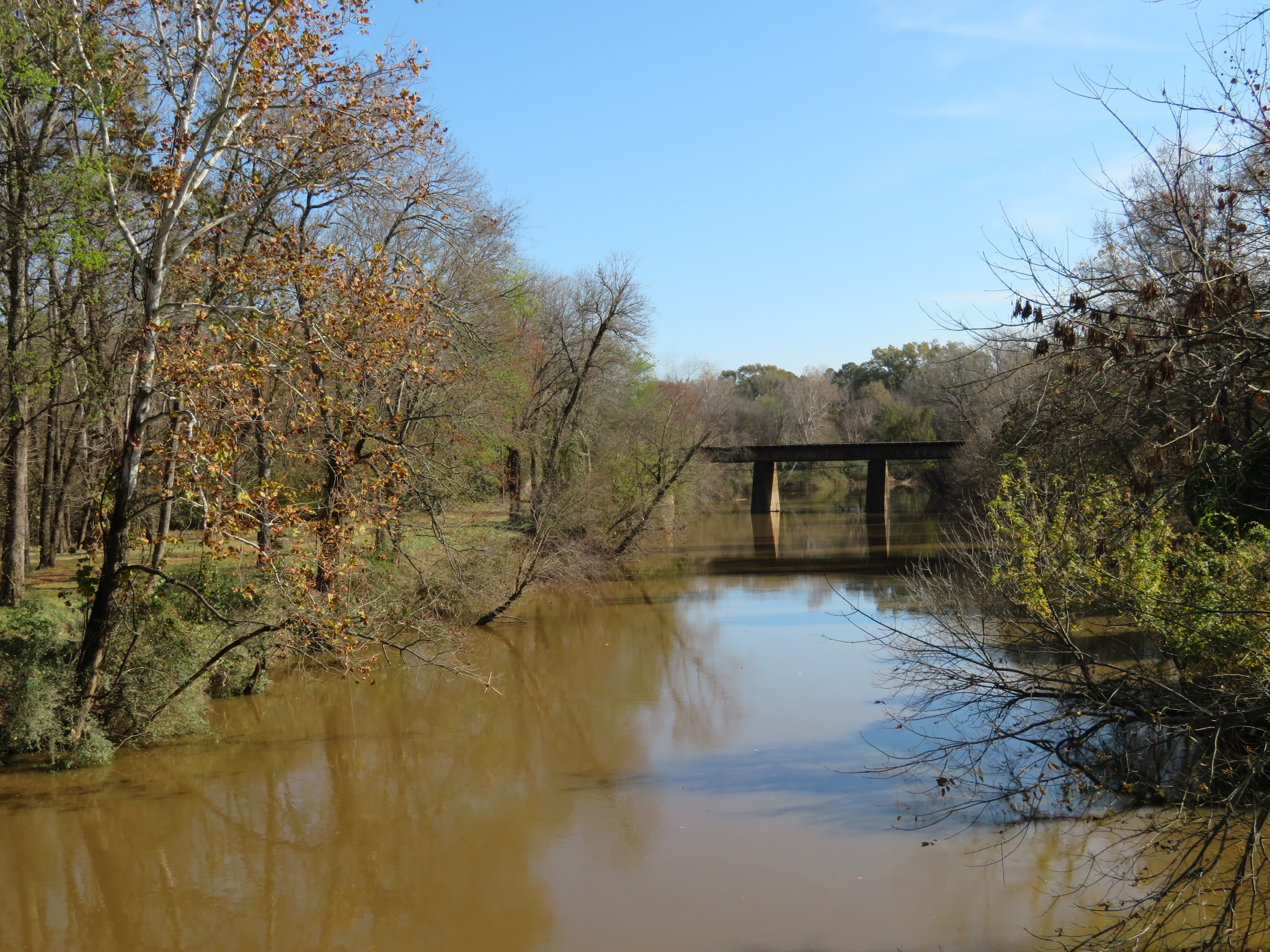
20181125_4 Second Photo with SX720 (Zoom in)
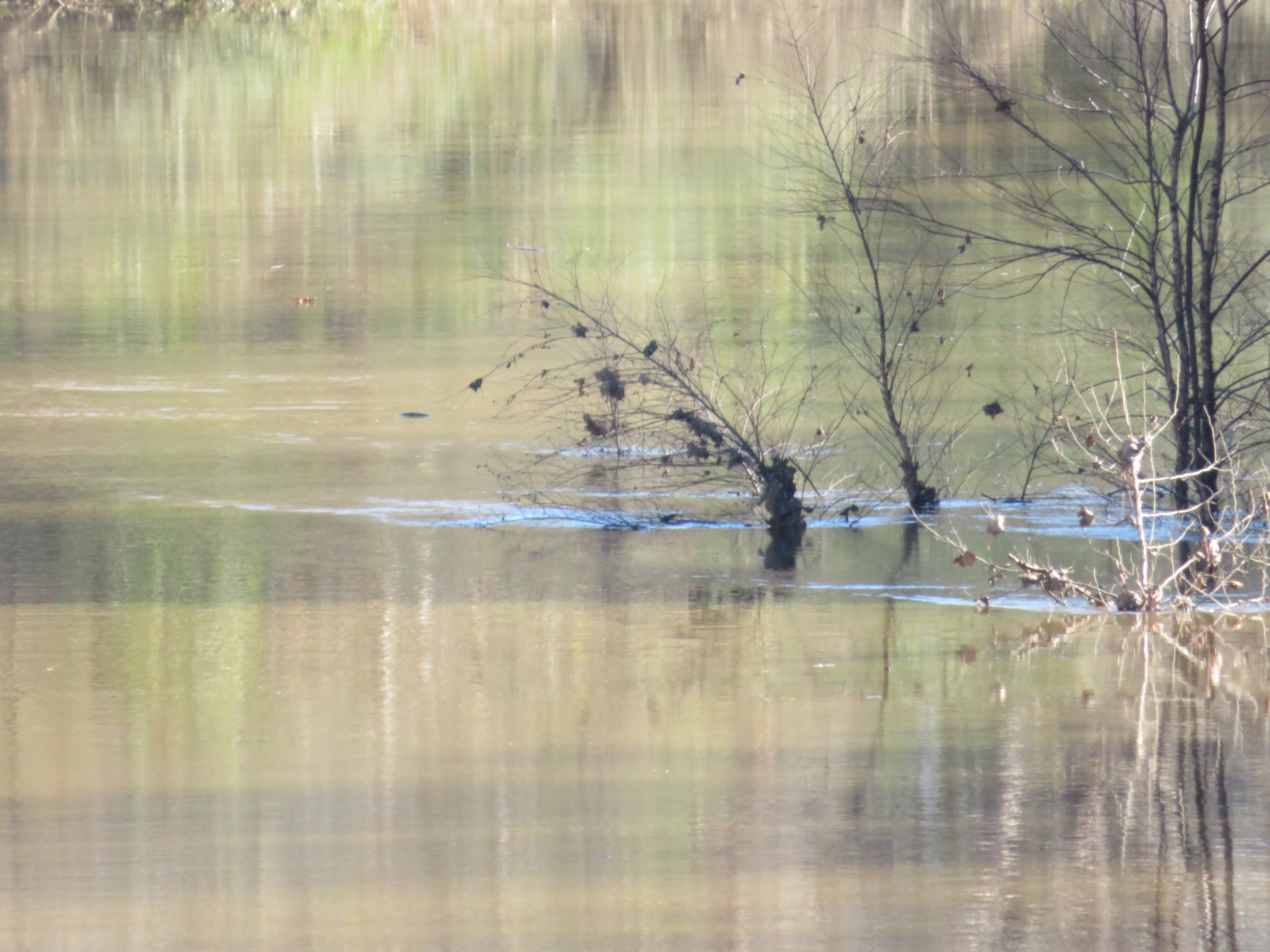
20181125_5 Third Photo with SX720 (Zoom in more)
20181125_6 Fourth Photo with SX720 (Zoom to bush)
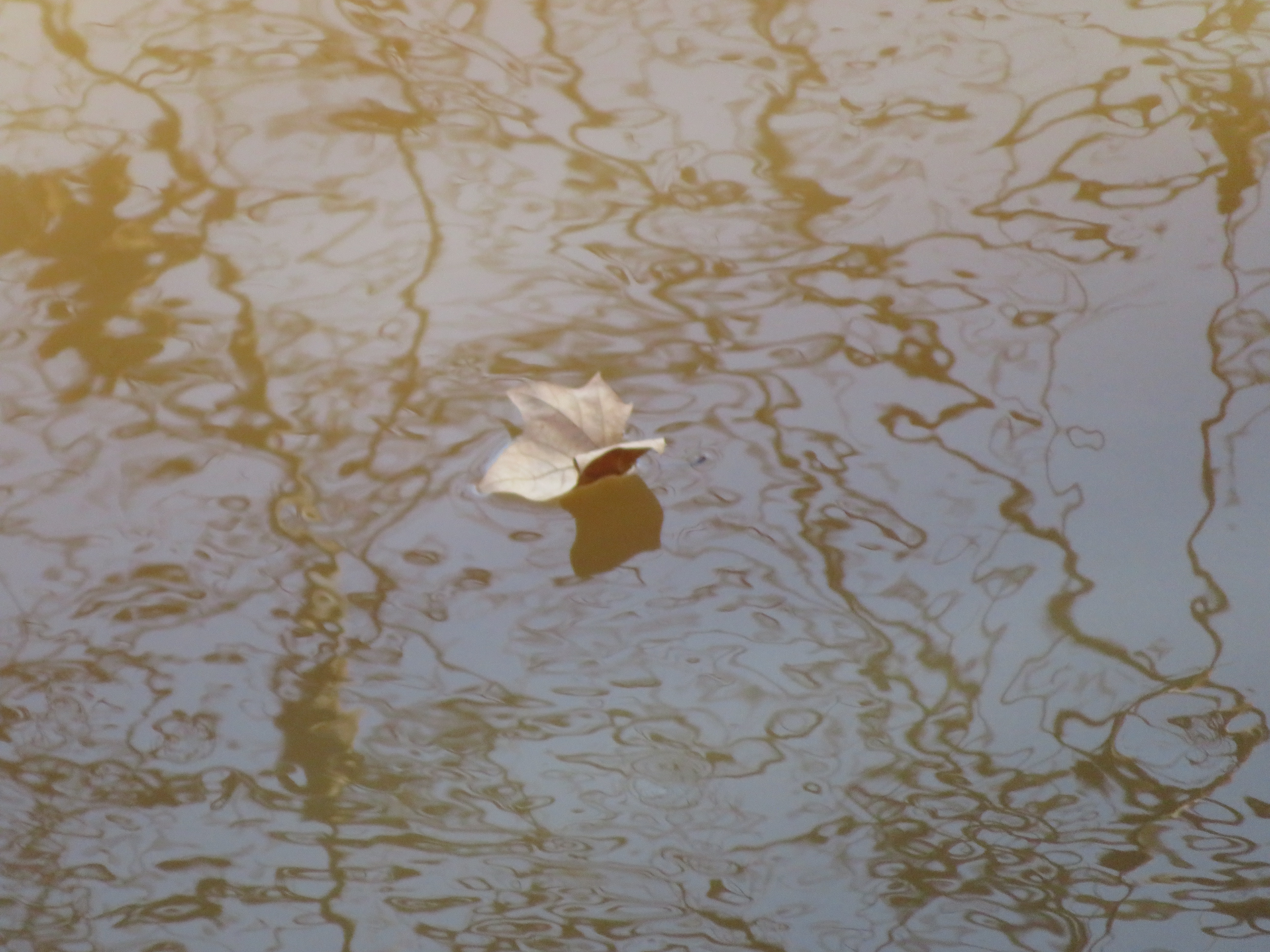
20181125_7 Leaf Falls into Meherrin (Emporia)

20180615 051935 1SL6
20180615 051723 1SL6

The End is near
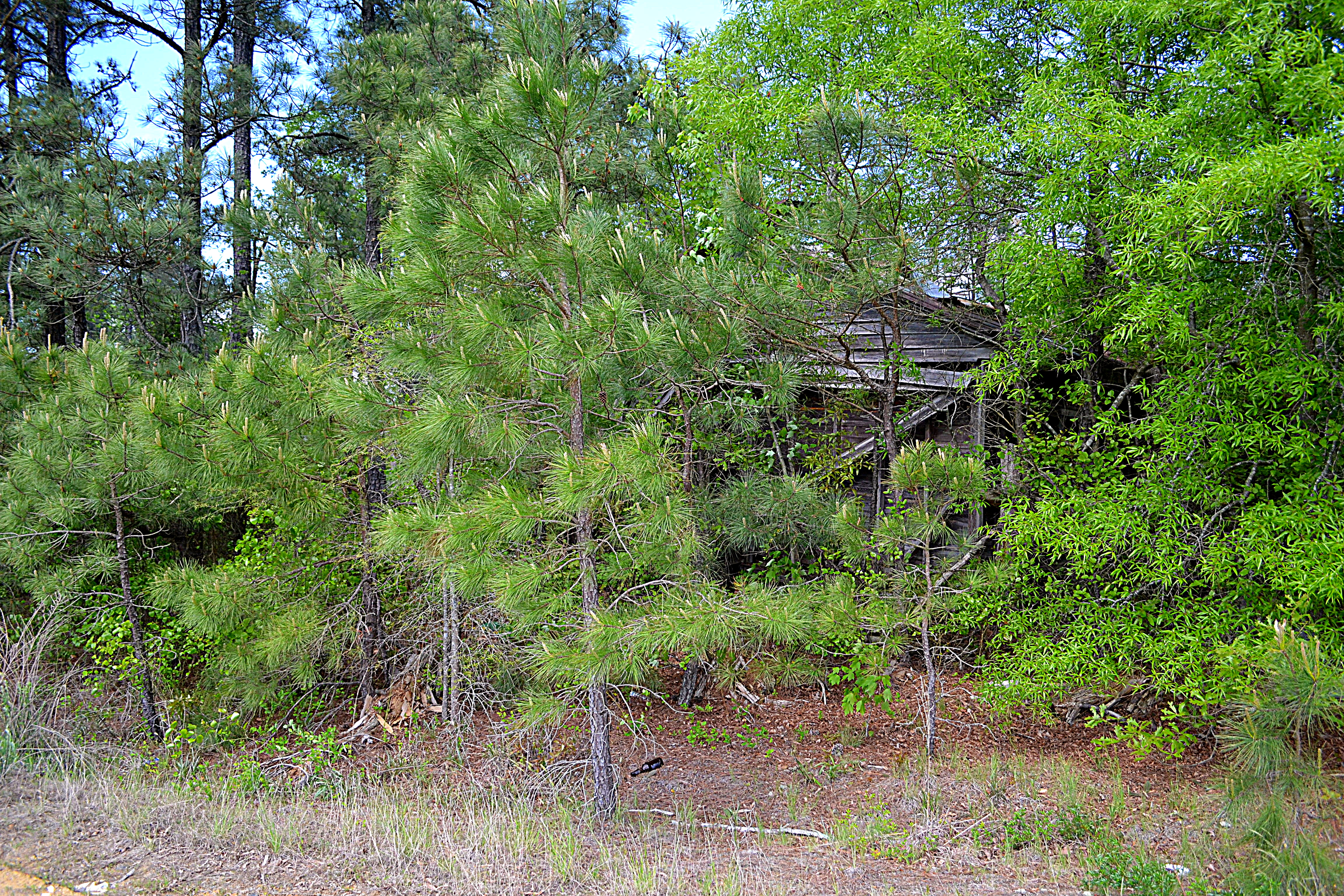
10334 Henry Rd, Jarratt, VA 23867, USA DSC_0621
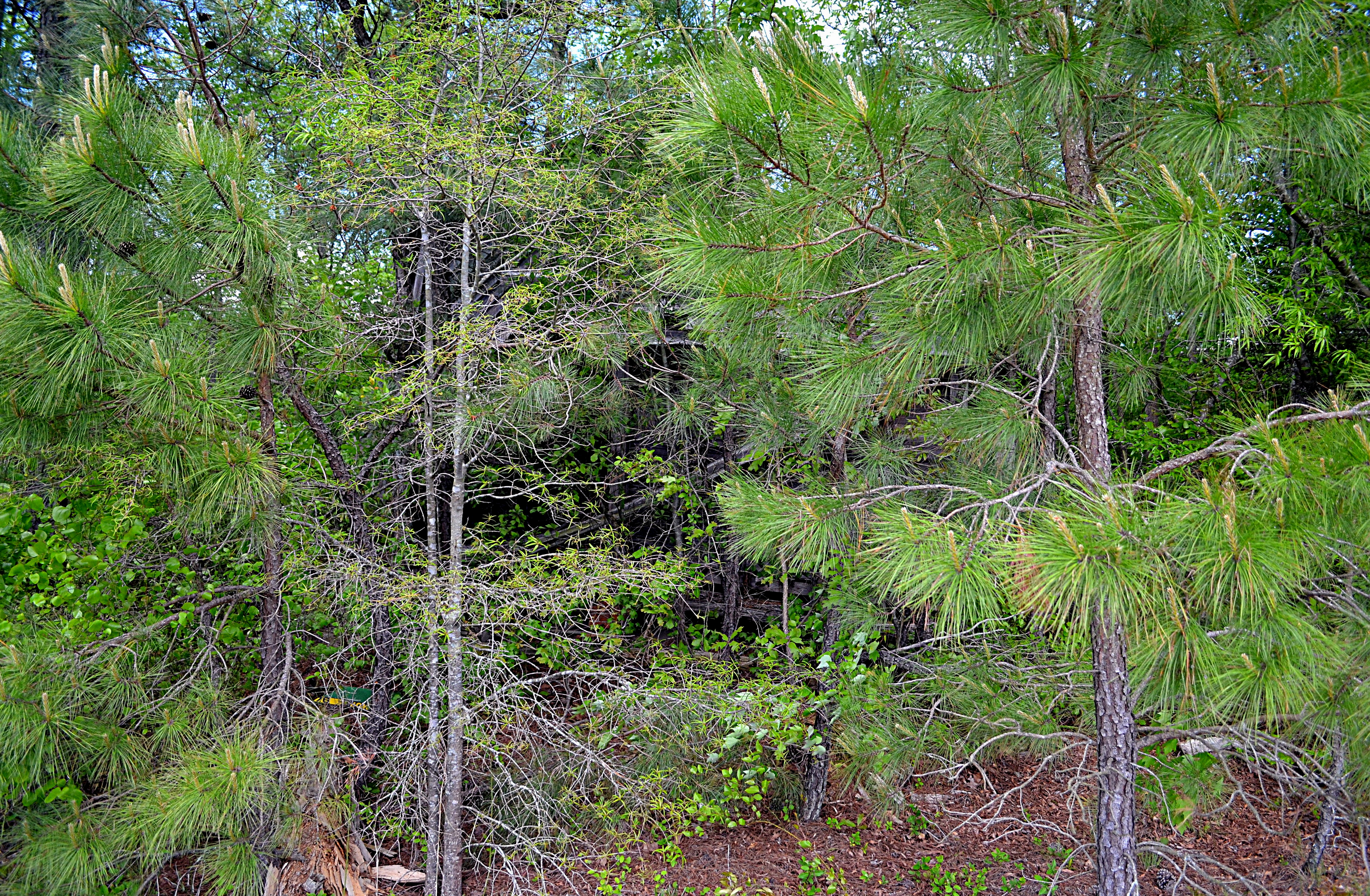
10334 Henry Rd, Jarratt, VA 23867, USA DSC_0617

10334 Henry Rd, Jarratt, VA 23867, USA DSC_0644
Brunswick Ave, Emporia, VA 美國的地圖
搜索其他地方的日出日落時間
附近地點
S Main St, Emporia, VA 美國
美國維吉尼亞州恩波里亞
State Rte, Emporia, VA 美國
Low Ground Rd, Emporia, VA 美國
3, VA 美國
Greensville County Cir, Emporia, VA 美國Greensville County Circle
Skippers, VA 美國
2, VA, 美國
Skippers Rd, Skippers, VA 美國
Chapman's Ford Rd, Emporia, VA 美國
美國弗吉尼亞州格林斯維爾郡
1, VA, 美國
4, VA, 美國
Allen Rd, Jarratt, VA 美國
Wyatts Mill Rd, Jarratt, VA 美國
美國弗吉尼亚弗里曼
美國弗吉尼亚州贾勒特
Pine Log Rd, Emporia, VA 美國
Western Mill Rd, Lawrenceville, VA 美國
美國弗吉尼亚鲍威尔顿
最近搜索
- Jalapa, Oaxaca, 墨西哥的日出日落時間表
- Pykes Down, Ivybridge PL21 0BY, UK的日出日落時間表
- 中國五指山市五指山的日出日落時間表
- 奧地利埃亨比希爾的日出日落時間表
- 比羅海爾斯克的日出日落時間表
- Nedre Storvollen, Kvaløysletta, 挪威的日出日落時間表
- Unnamed Road, Respublika Severnaya Osetiya — Alaniya, 俄羅斯的日出日落時間表
- Herbage Dr, Gulfport, MS 美國的日出日落時間表
- Pointe-au-Père, Rimouski, QC, 加拿大的日出日落時間表
- -, Japan的日出日落時間表