美国加利福尼亚州赖特伍德的日出日落时间表
Location: 美国 > 加利福尼亚州 >
时区:
America/Los_Angeles
当地时间:
2024-04-18 16:23:13
经度:
-117.6333884
纬度:
34.3608341
今天日出时间:
06:12:53 AM
今天日落时间:
07:26:00 PM
今天日照时常:
13h 13m 7s
明天日出时间:
06:11:41 AM
明天日落时间:
07:26:47 PM
明天日照时常:
13h 15m 6s
显示所有日期
| 日期 | 日出 | 日落 | 日照时常 |
|---|---|---|---|
| 2024年01月01日 | 06:56:56 AM | 04:51:53 PM | 9h 54m 57s |
| 2024年01月02日 | 06:57:05 AM | 04:52:39 PM | 9h 55m 34s |
| 2024年01月03日 | 06:57:12 AM | 04:53:26 PM | 9h 56m 14s |
| 2024年01月04日 | 06:57:18 AM | 04:54:15 PM | 9h 56m 57s |
| 2024年01月05日 | 06:57:22 AM | 04:55:04 PM | 9h 57m 42s |
| 2024年01月06日 | 06:57:24 AM | 04:55:55 PM | 9h 58m 31s |
| 2024年01月07日 | 06:57:23 AM | 04:56:46 PM | 9h 59m 23s |
| 2024年01月08日 | 06:57:22 AM | 04:57:38 PM | 10h 0m 16s |
| 2024年01月09日 | 06:57:18 AM | 04:58:31 PM | 10h 1m 13s |
| 2024年01月10日 | 06:57:12 AM | 04:59:25 PM | 10h 2m 13s |
| 2024年01月11日 | 06:57:05 AM | 05:00:20 PM | 10h 3m 15s |
| 2024年01月12日 | 06:56:55 AM | 05:01:15 PM | 10h 4m 20s |
| 2024年01月13日 | 06:56:44 AM | 05:02:11 PM | 10h 5m 27s |
| 2024年01月14日 | 06:56:31 AM | 05:03:07 PM | 10h 6m 36s |
| 2024年01月15日 | 06:56:16 AM | 05:04:04 PM | 10h 7m 48s |
| 2024年01月16日 | 06:55:59 AM | 05:05:01 PM | 10h 9m 2s |
| 2024年01月17日 | 06:55:40 AM | 05:05:59 PM | 10h 10m 19s |
| 2024年01月18日 | 06:55:19 AM | 05:06:57 PM | 10h 11m 38s |
| 2024年01月19日 | 06:54:57 AM | 05:07:55 PM | 10h 12m 58s |
| 2024年01月20日 | 06:54:33 AM | 05:08:54 PM | 10h 14m 21s |
| 2024年01月21日 | 06:54:07 AM | 05:09:53 PM | 10h 15m 46s |
| 2024年01月22日 | 06:53:39 AM | 05:10:53 PM | 10h 17m 14s |
| 2024年01月23日 | 06:53:10 AM | 05:11:52 PM | 10h 18m 42s |
| 2024年01月24日 | 06:52:39 AM | 05:12:52 PM | 10h 20m 13s |
| 2024年01月25日 | 06:52:06 AM | 05:13:51 PM | 10h 21m 45s |
| 2024年01月26日 | 06:51:31 AM | 05:14:51 PM | 10h 23m 20s |
| 2024年01月27日 | 06:50:55 AM | 05:15:51 PM | 10h 24m 56s |
| 2024年01月28日 | 06:50:17 AM | 05:16:51 PM | 10h 26m 34s |
| 2024年01月29日 | 06:49:37 AM | 05:17:51 PM | 10h 28m 14s |
| 2024年01月30日 | 06:48:56 AM | 05:18:51 PM | 10h 29m 55s |
| 2024年01月31日 | 06:48:14 AM | 05:19:51 PM | 10h 31m 37s |
| 2024年02月01日 | 06:47:29 AM | 05:20:50 PM | 10h 33m 21s |
| 2024年02月02日 | 06:46:44 AM | 05:21:50 PM | 10h 35m 6s |
| 2024年02月03日 | 06:45:57 AM | 05:22:49 PM | 10h 36m 52s |
| 2024年02月04日 | 06:45:08 AM | 05:23:49 PM | 10h 38m 41s |
| 2024年02月05日 | 06:44:18 AM | 05:24:48 PM | 10h 40m 30s |
| 2024年02月06日 | 06:43:26 AM | 05:25:47 PM | 10h 42m 21s |
| 2024年02月07日 | 06:42:33 AM | 05:26:45 PM | 10h 44m 12s |
| 2024年02月08日 | 06:41:39 AM | 05:27:44 PM | 10h 46m 5s |
| 2024年02月09日 | 06:40:44 AM | 05:28:42 PM | 10h 47m 58s |
| 2024年02月10日 | 06:39:47 AM | 05:29:40 PM | 10h 49m 53s |
| 2024年02月11日 | 06:38:49 AM | 05:30:38 PM | 10h 51m 49s |
| 2024年02月12日 | 06:37:50 AM | 05:31:35 PM | 10h 53m 45s |
| 2024年02月13日 | 06:36:49 AM | 05:32:32 PM | 10h 55m 43s |
| 2024年02月14日 | 06:35:48 AM | 05:33:29 PM | 10h 57m 41s |
| 2024年02月15日 | 06:34:45 AM | 05:34:25 PM | 10h 59m 40s |
| 2024年02月16日 | 06:33:41 AM | 05:35:21 PM | 11h 1m 40s |
| 2024年02月17日 | 06:32:36 AM | 05:36:17 PM | 11h 3m 41s |
| 2024年02月18日 | 06:31:30 AM | 05:37:12 PM | 11h 5m 42s |
| 2024年02月19日 | 06:30:23 AM | 05:38:07 PM | 11h 7m 44s |
| 2024年02月20日 | 06:29:15 AM | 05:39:02 PM | 11h 9m 47s |
| 2024年02月21日 | 06:28:06 AM | 05:39:57 PM | 11h 11m 51s |
| 2024年02月22日 | 06:26:57 AM | 05:40:51 PM | 11h 13m 54s |
| 2024年02月23日 | 06:25:46 AM | 05:41:44 PM | 11h 15m 58s |
| 2024年02月24日 | 06:24:34 AM | 05:42:38 PM | 11h 18m 4s |
| 2024年02月25日 | 06:23:22 AM | 05:43:31 PM | 11h 20m 9s |
| 2024年02月26日 | 06:22:09 AM | 05:44:23 PM | 11h 22m 14s |
| 2024年02月27日 | 06:20:55 AM | 05:45:16 PM | 11h 24m 21s |
| 2024年02月28日 | 06:19:41 AM | 05:46:08 PM | 11h 26m 27s |
| 2024年02月29日 | 06:18:25 AM | 05:46:59 PM | 11h 28m 34s |
| 2024年03月01日 | 06:17:10 AM | 05:47:51 PM | 11h 30m 41s |
| 2024年03月02日 | 06:15:53 AM | 05:48:42 PM | 11h 32m 49s |
| 2024年03月03日 | 06:14:36 AM | 05:49:33 PM | 11h 34m 57s |
| 2024年03月04日 | 06:13:18 AM | 05:50:23 PM | 11h 37m 5s |
| 2024年03月05日 | 06:12:00 AM | 05:51:13 PM | 11h 39m 13s |
| 2024年03月06日 | 06:10:41 AM | 05:52:03 PM | 11h 41m 22s |
| 2024年03月07日 | 06:09:22 AM | 05:52:53 PM | 11h 43m 31s |
| 2024年03月08日 | 06:08:02 AM | 05:53:42 PM | 11h 45m 40s |
| 2024年03月09日 | 06:06:42 AM | 05:54:31 PM | 11h 47m 49s |
| 2024年03月10日 | 07:05:25 AM | 06:55:18 PM | 11h 49m 53s |
| 2024年03月11日 | 07:04:04 AM | 06:56:06 PM | 11h 52m 2s |
| 2024年03月12日 | 07:02:43 AM | 06:56:55 PM | 11h 54m 12s |
| 2024年03月13日 | 07:01:22 AM | 06:57:43 PM | 11h 56m 21s |
| 2024年03月14日 | 07:00:00 AM | 06:58:31 PM | 11h 58m 31s |
| 2024年03月15日 | 06:58:38 AM | 06:59:19 PM | 12h 0m 41s |
| 2024年03月16日 | 06:57:16 AM | 07:00:06 PM | 12h 2m 50s |
| 2024年03月17日 | 06:55:54 AM | 07:00:54 PM | 12h 5m 0s |
| 2024年03月18日 | 06:54:31 AM | 07:01:41 PM | 12h 7m 10s |
| 2024年03月19日 | 06:53:09 AM | 07:02:28 PM | 12h 9m 19s |
| 2024年03月20日 | 06:51:46 AM | 07:03:15 PM | 12h 11m 29s |
| 2024年03月21日 | 06:50:23 AM | 07:04:02 PM | 12h 13m 39s |
| 2024年03月22日 | 06:49:00 AM | 07:04:48 PM | 12h 15m 48s |
| 2024年03月23日 | 06:47:38 AM | 07:05:35 PM | 12h 17m 57s |
| 2024年03月24日 | 06:46:15 AM | 07:06:22 PM | 12h 20m 7s |
| 2024年03月25日 | 06:44:52 AM | 07:07:08 PM | 12h 22m 16s |
| 2024年03月26日 | 06:43:30 AM | 07:07:54 PM | 12h 24m 24s |
| 2024年03月27日 | 06:42:07 AM | 07:08:41 PM | 12h 26m 34s |
| 2024年03月28日 | 06:40:45 AM | 07:09:27 PM | 12h 28m 42s |
| 2024年03月29日 | 06:39:23 AM | 07:10:13 PM | 12h 30m 50s |
| 2024年03月30日 | 06:38:01 AM | 07:10:59 PM | 12h 32m 58s |
| 2024年03月31日 | 06:36:39 AM | 07:11:46 PM | 12h 35m 7s |
| 2024年04月01日 | 06:35:18 AM | 07:12:32 PM | 12h 37m 14s |
| 2024年04月02日 | 06:33:56 AM | 07:13:18 PM | 12h 39m 22s |
| 2024年04月03日 | 06:32:35 AM | 07:14:04 PM | 12h 41m 29s |
| 2024年04月04日 | 06:31:15 AM | 07:14:50 PM | 12h 43m 35s |
| 2024年04月05日 | 06:29:55 AM | 07:15:37 PM | 12h 45m 42s |
| 2024年04月06日 | 06:28:35 AM | 07:16:23 PM | 12h 47m 48s |
| 2024年04月07日 | 06:27:16 AM | 07:17:09 PM | 12h 49m 53s |
| 2024年04月08日 | 06:25:57 AM | 07:17:55 PM | 12h 51m 58s |
| 2024年04月09日 | 06:24:39 AM | 07:18:42 PM | 12h 54m 3s |
| 2024年04月10日 | 06:23:21 AM | 07:19:28 PM | 12h 56m 7s |
| 2024年04月11日 | 06:22:03 AM | 07:20:15 PM | 12h 58m 12s |
| 2024年04月12日 | 06:20:47 AM | 07:21:01 PM | 13h 0m 14s |
| 2024年04月13日 | 06:19:31 AM | 07:21:48 PM | 13h 2m 17s |
| 2024年04月14日 | 06:18:15 AM | 07:22:35 PM | 13h 4m 20s |
| 2024年04月15日 | 06:17:00 AM | 07:23:22 PM | 13h 6m 22s |
| 2024年04月16日 | 06:15:46 AM | 07:24:08 PM | 13h 8m 22s |
| 2024年04月17日 | 06:14:33 AM | 07:24:55 PM | 13h 10m 22s |
| 2024年04月18日 | 06:13:20 AM | 07:25:42 PM | 13h 12m 22s |
| 2024年04月19日 | 06:12:08 AM | 07:26:29 PM | 13h 14m 21s |
| 2024年04月20日 | 06:10:57 AM | 07:27:17 PM | 13h 16m 20s |
| 2024年04月21日 | 06:09:47 AM | 07:28:04 PM | 13h 18m 17s |
| 2024年04月22日 | 06:08:38 AM | 07:28:51 PM | 13h 20m 13s |
| 2024年04月23日 | 06:07:29 AM | 07:29:38 PM | 13h 22m 9s |
| 2024年04月24日 | 06:06:21 AM | 07:30:26 PM | 13h 24m 5s |
| 2024年04月25日 | 06:05:15 AM | 07:31:13 PM | 13h 25m 58s |
| 2024年04月26日 | 06:04:09 AM | 07:32:00 PM | 13h 27m 51s |
| 2024年04月27日 | 06:03:04 AM | 07:32:48 PM | 13h 29m 44s |
| 2024年04月28日 | 06:02:01 AM | 07:33:35 PM | 13h 31m 34s |
| 2024年04月29日 | 06:00:58 AM | 07:34:23 PM | 13h 33m 25s |
| 2024年04月30日 | 05:59:57 AM | 07:35:10 PM | 13h 35m 13s |
| 2024年05月01日 | 05:58:56 AM | 07:35:58 PM | 13h 37m 2s |
| 2024年05月02日 | 05:57:57 AM | 07:36:45 PM | 13h 38m 48s |
| 2024年05月03日 | 05:56:59 AM | 07:37:33 PM | 13h 40m 34s |
| 2024年05月04日 | 05:56:02 AM | 07:38:20 PM | 13h 42m 18s |
| 2024年05月05日 | 05:55:06 AM | 07:39:07 PM | 13h 44m 1s |
| 2024年05月06日 | 05:54:12 AM | 07:39:54 PM | 13h 45m 42s |
| 2024年05月07日 | 05:53:18 AM | 07:40:41 PM | 13h 47m 23s |
| 2024年05月08日 | 05:52:26 AM | 07:41:28 PM | 13h 49m 2s |
| 2024年05月09日 | 05:51:36 AM | 07:42:15 PM | 13h 50m 39s |
| 2024年05月10日 | 05:50:46 AM | 07:43:02 PM | 13h 52m 16s |
| 2024年05月11日 | 05:49:58 AM | 07:43:48 PM | 13h 53m 50s |
| 2024年05月12日 | 05:49:12 AM | 07:44:34 PM | 13h 55m 22s |
| 2024年05月13日 | 05:48:26 AM | 07:45:20 PM | 13h 56m 54s |
| 2024年05月14日 | 05:47:42 AM | 07:46:05 PM | 13h 58m 23s |
| 2024年05月15日 | 05:47:00 AM | 07:46:51 PM | 13h 59m 51s |
| 2024年05月16日 | 05:46:19 AM | 07:47:36 PM | 14h 1m 17s |
| 2024年05月17日 | 05:45:40 AM | 07:48:20 PM | 14h 2m 40s |
| 2024年05月18日 | 05:45:02 AM | 07:49:04 PM | 14h 4m 2s |
| 2024年05月19日 | 05:44:25 AM | 07:49:48 PM | 14h 5m 23s |
| 2024年05月20日 | 05:43:50 AM | 07:50:32 PM | 14h 6m 42s |
| 2024年05月21日 | 05:43:17 AM | 07:51:14 PM | 14h 7m 57s |
| 2024年05月22日 | 05:42:45 AM | 07:51:57 PM | 14h 9m 12s |
| 2024年05月23日 | 05:42:14 AM | 07:52:39 PM | 14h 10m 25s |
| 2024年05月24日 | 05:41:45 AM | 07:53:20 PM | 14h 11m 35s |
| 2024年05月25日 | 05:41:18 AM | 07:54:00 PM | 14h 12m 42s |
| 2024年05月26日 | 05:40:53 AM | 07:54:40 PM | 14h 13m 47s |
| 2024年05月27日 | 05:40:29 AM | 07:55:20 PM | 14h 14m 51s |
| 2024年05月28日 | 05:40:06 AM | 07:55:58 PM | 14h 15m 52s |
| 2024年05月29日 | 05:39:45 AM | 07:56:36 PM | 14h 16m 51s |
| 2024年05月30日 | 05:39:26 AM | 07:57:13 PM | 14h 17m 47s |
| 2024年05月31日 | 05:39:09 AM | 07:57:49 PM | 14h 18m 40s |
| 2024年06月01日 | 05:38:53 AM | 07:58:25 PM | 14h 19m 32s |
| 2024年06月02日 | 05:38:38 AM | 07:58:59 PM | 14h 20m 21s |
| 2024年06月03日 | 05:38:25 AM | 07:59:33 PM | 14h 21m 8s |
| 2024年06月04日 | 05:38:14 AM | 08:00:05 PM | 14h 21m 51s |
| 2024年06月05日 | 05:38:05 AM | 08:00:37 PM | 14h 22m 32s |
| 2024年06月06日 | 05:37:57 AM | 08:01:07 PM | 14h 23m 10s |
| 2024年06月07日 | 05:37:51 AM | 08:01:37 PM | 14h 23m 46s |
| 2024年06月08日 | 05:37:46 AM | 08:02:05 PM | 14h 24m 19s |
| 2024年06月09日 | 05:37:43 AM | 08:02:32 PM | 14h 24m 49s |
| 2024年06月10日 | 05:37:41 AM | 08:02:58 PM | 14h 25m 17s |
| 2024年06月11日 | 05:37:42 AM | 08:03:23 PM | 14h 25m 41s |
| 2024年06月12日 | 05:37:43 AM | 08:03:47 PM | 14h 26m 4s |
| 2024年06月13日 | 05:37:46 AM | 08:04:09 PM | 14h 26m 23s |
| 2024年06月14日 | 05:37:51 AM | 08:04:30 PM | 14h 26m 39s |
| 2024年06月15日 | 05:37:57 AM | 08:04:50 PM | 14h 26m 53s |
| 2024年06月16日 | 05:38:05 AM | 08:05:08 PM | 14h 27m 3s |
| 2024年06月17日 | 05:38:14 AM | 08:05:25 PM | 14h 27m 11s |
| 2024年06月18日 | 05:38:25 AM | 08:05:41 PM | 14h 27m 16s |
| 2024年06月19日 | 05:38:37 AM | 08:05:55 PM | 14h 27m 18s |
| 2024年06月20日 | 05:38:50 AM | 08:06:08 PM | 14h 27m 18s |
| 2024年06月21日 | 05:39:05 AM | 08:06:19 PM | 14h 27m 14s |
| 2024年06月22日 | 05:39:21 AM | 08:06:28 PM | 14h 27m 7s |
| 2024年06月23日 | 05:39:39 AM | 08:06:37 PM | 14h 26m 58s |
| 2024年06月24日 | 05:39:57 AM | 08:06:43 PM | 14h 26m 46s |
| 2024年06月25日 | 05:40:17 AM | 08:06:48 PM | 14h 26m 31s |
| 2024年06月26日 | 05:40:39 AM | 08:06:52 PM | 14h 26m 13s |
| 2024年06月27日 | 05:41:01 AM | 08:06:54 PM | 14h 25m 53s |
| 2024年06月28日 | 05:41:25 AM | 08:06:54 PM | 14h 25m 29s |
| 2024年06月29日 | 05:41:50 AM | 08:06:53 PM | 14h 25m 3s |
| 2024年06月30日 | 05:42:16 AM | 08:06:50 PM | 14h 24m 34s |
| 2024年07月01日 | 05:42:43 AM | 08:06:45 PM | 14h 24m 2s |
| 2024年07月02日 | 05:43:11 AM | 08:06:39 PM | 14h 23m 28s |
| 2024年07月03日 | 05:43:40 AM | 08:06:31 PM | 14h 22m 51s |
| 2024年07月04日 | 05:44:10 AM | 08:06:22 PM | 14h 22m 12s |
| 2024年07月05日 | 05:44:41 AM | 08:06:11 PM | 14h 21m 30s |
| 2024年07月06日 | 05:45:13 AM | 08:05:58 PM | 14h 20m 45s |
| 2024年07月07日 | 05:45:46 AM | 08:05:43 PM | 14h 19m 57s |
| 2024年07月08日 | 05:46:19 AM | 08:05:27 PM | 14h 19m 8s |
| 2024年07月09日 | 05:46:54 AM | 08:05:09 PM | 14h 18m 15s |
| 2024年07月10日 | 05:47:29 AM | 08:04:50 PM | 14h 17m 21s |
| 2024年07月11日 | 05:48:05 AM | 08:04:29 PM | 14h 16m 24s |
| 2024年07月12日 | 05:48:41 AM | 08:04:06 PM | 14h 15m 25s |
| 2024年07月13日 | 05:49:19 AM | 08:03:41 PM | 14h 14m 22s |
| 2024年07月14日 | 05:49:56 AM | 08:03:15 PM | 14h 13m 19s |
| 2024年07月15日 | 05:50:35 AM | 08:02:48 PM | 14h 12m 13s |
| 2024年07月16日 | 05:51:14 AM | 08:02:18 PM | 14h 11m 4s |
| 2024年07月17日 | 05:51:54 AM | 08:01:48 PM | 14h 9m 54s |
| 2024年07月18日 | 05:52:34 AM | 08:01:15 PM | 14h 8m 41s |
| 2024年07月19日 | 05:53:14 AM | 08:00:41 PM | 14h 7m 27s |
| 2024年07月20日 | 05:53:55 AM | 08:00:05 PM | 14h 6m 10s |
| 2024年07月21日 | 05:54:36 AM | 07:59:28 PM | 14h 4m 52s |
| 2024年07月22日 | 05:55:18 AM | 07:58:50 PM | 14h 3m 32s |
| 2024年07月23日 | 05:56:00 AM | 07:58:09 PM | 14h 2m 9s |
| 2024年07月24日 | 05:56:43 AM | 07:57:28 PM | 14h 0m 45s |
| 2024年07月25日 | 05:57:25 AM | 07:56:44 PM | 13h 59m 19s |
| 2024年07月26日 | 05:58:08 AM | 07:56:00 PM | 13h 57m 52s |
| 2024年07月27日 | 05:58:51 AM | 07:55:14 PM | 13h 56m 23s |
| 2024年07月28日 | 05:59:35 AM | 07:54:26 PM | 13h 54m 51s |
| 2024年07月29日 | 06:00:18 AM | 07:53:37 PM | 13h 53m 19s |
| 2024年07月30日 | 06:01:02 AM | 07:52:47 PM | 13h 51m 45s |
| 2024年07月31日 | 06:01:46 AM | 07:51:56 PM | 13h 50m 10s |
| 2024年08月01日 | 06:02:30 AM | 07:51:03 PM | 13h 48m 33s |
| 2024年08月02日 | 06:03:14 AM | 07:50:08 PM | 13h 46m 54s |
| 2024年08月03日 | 06:03:58 AM | 07:49:13 PM | 13h 45m 15s |
| 2024年08月04日 | 06:04:42 AM | 07:48:16 PM | 13h 43m 34s |
| 2024年08月05日 | 06:05:26 AM | 07:47:18 PM | 13h 41m 52s |
| 2024年08月06日 | 06:06:10 AM | 07:46:19 PM | 13h 40m 9s |
| 2024年08月07日 | 06:06:55 AM | 07:45:18 PM | 13h 38m 23s |
| 2024年08月08日 | 06:07:39 AM | 07:44:17 PM | 13h 36m 38s |
| 2024年08月09日 | 06:08:23 AM | 07:43:14 PM | 13h 34m 51s |
| 2024年08月10日 | 06:09:07 AM | 07:42:10 PM | 13h 33m 3s |
| 2024年08月11日 | 06:09:51 AM | 07:41:05 PM | 13h 31m 14s |
| 2024年08月12日 | 06:10:35 AM | 07:40:00 PM | 13h 29m 25s |
| 2024年08月13日 | 06:11:19 AM | 07:38:53 PM | 13h 27m 34s |
| 2024年08月14日 | 06:12:03 AM | 07:37:45 PM | 13h 25m 42s |
| 2024年08月15日 | 06:12:47 AM | 07:36:36 PM | 13h 23m 49s |
| 2024年08月16日 | 06:13:31 AM | 07:35:26 PM | 13h 21m 55s |
| 2024年08月17日 | 06:14:15 AM | 07:34:15 PM | 13h 20m 0s |
| 2024年08月18日 | 06:14:58 AM | 07:33:04 PM | 13h 18m 6s |
| 2024年08月19日 | 06:15:42 AM | 07:31:51 PM | 13h 16m 9s |
| 2024年08月20日 | 06:16:25 AM | 07:30:38 PM | 13h 14m 13s |
| 2024年08月21日 | 06:17:08 AM | 07:29:24 PM | 13h 12m 16s |
| 2024年08月22日 | 06:17:52 AM | 07:28:09 PM | 13h 10m 17s |
| 2024年08月23日 | 06:18:35 AM | 07:26:53 PM | 13h 8m 18s |
| 2024年08月24日 | 06:19:18 AM | 07:25:37 PM | 13h 6m 19s |
| 2024年08月25日 | 06:20:00 AM | 07:24:20 PM | 13h 4m 20s |
| 2024年08月26日 | 06:20:43 AM | 07:23:02 PM | 13h 2m 19s |
| 2024年08月27日 | 06:21:26 AM | 07:21:44 PM | 13h 0m 18s |
| 2024年08月28日 | 06:22:09 AM | 07:20:25 PM | 12h 58m 16s |
| 2024年08月29日 | 06:22:51 AM | 07:19:05 PM | 12h 56m 14s |
| 2024年08月30日 | 06:23:33 AM | 07:17:45 PM | 12h 54m 12s |
| 2024年08月31日 | 06:24:16 AM | 07:16:24 PM | 12h 52m 8s |
| 2024年09月01日 | 06:24:58 AM | 07:15:03 PM | 12h 50m 5s |
| 2024年09月02日 | 06:25:40 AM | 07:13:42 PM | 12h 48m 2s |
| 2024年09月03日 | 06:26:22 AM | 07:12:20 PM | 12h 45m 58s |
| 2024年09月04日 | 06:27:04 AM | 07:10:57 PM | 12h 43m 53s |
| 2024年09月05日 | 06:27:46 AM | 07:09:35 PM | 12h 41m 49s |
| 2024年09月06日 | 06:28:28 AM | 07:08:12 PM | 12h 39m 44s |
| 2024年09月07日 | 06:29:10 AM | 07:06:48 PM | 12h 37m 38s |
| 2024年09月08日 | 06:29:52 AM | 07:05:24 PM | 12h 35m 32s |
| 2024年09月09日 | 06:30:34 AM | 07:04:00 PM | 12h 33m 26s |
| 2024年09月10日 | 06:31:16 AM | 07:02:36 PM | 12h 31m 20s |
| 2024年09月11日 | 06:31:58 AM | 07:01:12 PM | 12h 29m 14s |
| 2024年09月12日 | 06:32:40 AM | 06:59:47 PM | 12h 27m 7s |
| 2024年09月13日 | 06:33:22 AM | 06:58:22 PM | 12h 25m 0s |
| 2024年09月14日 | 06:34:04 AM | 06:56:57 PM | 12h 22m 53s |
| 2024年09月15日 | 06:34:46 AM | 06:55:32 PM | 12h 20m 46s |
| 2024年09月16日 | 06:35:28 AM | 06:54:07 PM | 12h 18m 39s |
| 2024年09月17日 | 06:36:11 AM | 06:52:42 PM | 12h 16m 31s |
| 2024年09月18日 | 06:36:53 AM | 06:51:17 PM | 12h 14m 24s |
| 2024年09月19日 | 06:37:36 AM | 06:49:52 PM | 12h 12m 16s |
| 2024年09月20日 | 06:38:18 AM | 06:48:27 PM | 12h 10m 9s |
| 2024年09月21日 | 06:39:01 AM | 06:47:02 PM | 12h 8m 1s |
| 2024年09月22日 | 06:39:44 AM | 06:45:37 PM | 12h 5m 53s |
| 2024年09月23日 | 06:40:27 AM | 06:44:12 PM | 12h 3m 45s |
| 2024年09月24日 | 06:41:10 AM | 06:42:48 PM | 12h 1m 38s |
| 2024年09月25日 | 06:41:53 AM | 06:41:23 PM | 11h 59m 30s |
| 2024年09月26日 | 06:42:37 AM | 06:39:59 PM | 11h 57m 22s |
| 2024年09月27日 | 06:43:20 AM | 06:38:35 PM | 11h 55m 15s |
| 2024年09月28日 | 06:44:04 AM | 06:37:12 PM | 11h 53m 8s |
| 2024年09月29日 | 06:44:48 AM | 06:35:48 PM | 11h 51m 0s |
| 2024年09月30日 | 06:45:33 AM | 06:34:25 PM | 11h 48m 52s |
| 2024年10月01日 | 06:46:17 AM | 06:33:03 PM | 11h 46m 46s |
| 2024年10月02日 | 06:47:02 AM | 06:31:40 PM | 11h 44m 38s |
| 2024年10月03日 | 06:47:47 AM | 06:30:19 PM | 11h 42m 32s |
| 2024年10月04日 | 06:48:33 AM | 06:28:57 PM | 11h 40m 24s |
| 2024年10月05日 | 06:49:19 AM | 06:27:36 PM | 11h 38m 17s |
| 2024年10月06日 | 06:50:05 AM | 06:26:16 PM | 11h 36m 11s |
| 2024年10月07日 | 06:50:51 AM | 06:24:56 PM | 11h 34m 5s |
| 2024年10月08日 | 06:51:38 AM | 06:23:37 PM | 11h 31m 59s |
| 2024年10月09日 | 06:52:25 AM | 06:22:18 PM | 11h 29m 53s |
| 2024年10月10日 | 06:53:12 AM | 06:21:00 PM | 11h 27m 48s |
| 2024年10月11日 | 06:54:00 AM | 06:19:43 PM | 11h 25m 43s |
| 2024年10月12日 | 06:54:48 AM | 06:18:26 PM | 11h 23m 38s |
| 2024年10月13日 | 06:55:36 AM | 06:17:10 PM | 11h 21m 34s |
| 2024年10月14日 | 06:56:25 AM | 06:15:55 PM | 11h 19m 30s |
| 2024年10月15日 | 06:57:14 AM | 06:14:41 PM | 11h 17m 27s |
| 2024年10月16日 | 06:58:03 AM | 06:13:27 PM | 11h 15m 24s |
| 2024年10月17日 | 06:58:53 AM | 06:12:15 PM | 11h 13m 22s |
| 2024年10月18日 | 06:59:43 AM | 06:11:03 PM | 11h 11m 20s |
| 2024年10月19日 | 07:00:33 AM | 06:09:52 PM | 11h 9m 19s |
| 2024年10月20日 | 07:01:24 AM | 06:08:42 PM | 11h 7m 18s |
| 2024年10月21日 | 07:02:16 AM | 06:07:33 PM | 11h 5m 17s |
| 2024年10月22日 | 07:03:07 AM | 06:06:25 PM | 11h 3m 18s |
| 2024年10月23日 | 07:03:59 AM | 06:05:18 PM | 11h 1m 19s |
| 2024年10月24日 | 07:04:52 AM | 06:04:12 PM | 10h 59m 20s |
| 2024年10月25日 | 07:05:44 AM | 06:03:07 PM | 10h 57m 23s |
| 2024年10月26日 | 07:06:37 AM | 06:02:04 PM | 10h 55m 27s |
| 2024年10月27日 | 07:07:31 AM | 06:01:01 PM | 10h 53m 30s |
| 2024年10月28日 | 07:08:25 AM | 06:00:00 PM | 10h 51m 35s |
| 2024年10月29日 | 07:09:19 AM | 05:59:00 PM | 10h 49m 41s |
| 2024年10月30日 | 07:10:13 AM | 05:58:01 PM | 10h 47m 48s |
| 2024年10月31日 | 07:11:08 AM | 05:57:03 PM | 10h 45m 55s |
| 2024年11月01日 | 07:12:03 AM | 05:56:07 PM | 10h 44m 4s |
| 2024年11月02日 | 07:12:58 AM | 05:55:12 PM | 10h 42m 14s |
| 2024年11月03日 | 06:13:56 AM | 04:54:17 PM | 10h 40m 21s |
| 2024年11月04日 | 06:14:52 AM | 04:53:25 PM | 10h 38m 33s |
| 2024年11月05日 | 06:15:48 AM | 04:52:34 PM | 10h 36m 46s |
| 2024年11月06日 | 06:16:44 AM | 04:51:45 PM | 10h 35m 1s |
| 2024年11月07日 | 06:17:41 AM | 04:50:57 PM | 10h 33m 16s |
| 2024年11月08日 | 06:18:37 AM | 04:50:11 PM | 10h 31m 34s |
| 2024年11月09日 | 06:19:34 AM | 04:49:26 PM | 10h 29m 52s |
| 2024年11月10日 | 06:20:31 AM | 04:48:43 PM | 10h 28m 12s |
| 2024年11月11日 | 06:21:28 AM | 04:48:02 PM | 10h 26m 34s |
| 2024年11月12日 | 06:22:25 AM | 04:47:22 PM | 10h 24m 57s |
| 2024年11月13日 | 06:23:22 AM | 04:46:44 PM | 10h 23m 22s |
| 2024年11月14日 | 06:24:20 AM | 04:46:08 PM | 10h 21m 48s |
| 2024年11月15日 | 06:25:17 AM | 04:45:33 PM | 10h 20m 16s |
| 2024年11月16日 | 06:26:14 AM | 04:45:00 PM | 10h 18m 46s |
| 2024年11月17日 | 06:27:11 AM | 04:44:29 PM | 10h 17m 18s |
| 2024年11月18日 | 06:28:08 AM | 04:43:59 PM | 10h 15m 51s |
| 2024年11月19日 | 06:29:04 AM | 04:43:31 PM | 10h 14m 27s |
| 2024年11月20日 | 06:30:01 AM | 04:43:05 PM | 10h 13m 4s |
| 2024年11月21日 | 06:30:57 AM | 04:42:41 PM | 10h 11m 44s |
| 2024年11月22日 | 06:31:53 AM | 04:42:19 PM | 10h 10m 26s |
| 2024年11月23日 | 06:32:49 AM | 04:41:58 PM | 10h 9m 9s |
| 2024年11月24日 | 06:33:44 AM | 04:41:40 PM | 10h 7m 56s |
| 2024年11月25日 | 06:34:39 AM | 04:41:23 PM | 10h 6m 44s |
| 2024年11月26日 | 06:35:34 AM | 04:41:08 PM | 10h 5m 34s |
| 2024年11月27日 | 06:36:28 AM | 04:40:56 PM | 10h 4m 28s |
| 2024年11月28日 | 06:37:21 AM | 04:40:45 PM | 10h 3m 24s |
| 2024年11月29日 | 06:38:14 AM | 04:40:35 PM | 10h 2m 21s |
| 2024年11月30日 | 06:39:07 AM | 04:40:28 PM | 10h 1m 21s |
| 2024年12月01日 | 06:39:58 AM | 04:40:23 PM | 10h 0m 25s |
| 2024年12月02日 | 06:40:49 AM | 04:40:20 PM | 9h 59m 31s |
| 2024年12月03日 | 06:41:39 AM | 04:40:18 PM | 9h 58m 39s |
| 2024年12月04日 | 06:42:29 AM | 04:40:19 PM | 9h 57m 50s |
| 2024年12月05日 | 06:43:17 AM | 04:40:21 PM | 9h 57m 4s |
| 2024年12月06日 | 06:44:05 AM | 04:40:26 PM | 9h 56m 21s |
| 2024年12月07日 | 06:44:51 AM | 04:40:32 PM | 9h 55m 41s |
| 2024年12月08日 | 06:45:37 AM | 04:40:40 PM | 9h 55m 3s |
| 2024年12月09日 | 06:46:22 AM | 04:40:50 PM | 9h 54m 28s |
| 2024年12月10日 | 06:47:05 AM | 04:41:02 PM | 9h 53m 57s |
| 2024年12月11日 | 06:47:47 AM | 04:41:16 PM | 9h 53m 29s |
| 2024年12月12日 | 06:48:29 AM | 04:41:32 PM | 9h 53m 3s |
| 2024年12月13日 | 06:49:08 AM | 04:41:49 PM | 9h 52m 41s |
| 2024年12月14日 | 06:49:47 AM | 04:42:08 PM | 9h 52m 21s |
| 2024年12月15日 | 06:50:24 AM | 04:42:29 PM | 9h 52m 5s |
| 2024年12月16日 | 06:51:00 AM | 04:42:52 PM | 9h 51m 52s |
| 2024年12月17日 | 06:51:35 AM | 04:43:16 PM | 9h 51m 41s |
| 2024年12月18日 | 06:52:08 AM | 04:43:43 PM | 9h 51m 35s |
| 2024年12月19日 | 06:52:40 AM | 04:44:10 PM | 9h 51m 30s |
| 2024年12月20日 | 06:53:10 AM | 04:44:40 PM | 9h 51m 30s |
| 2024年12月21日 | 06:53:39 AM | 04:45:11 PM | 9h 51m 32s |
| 2024年12月22日 | 06:54:06 AM | 04:45:44 PM | 9h 51m 38s |
| 2024年12月23日 | 06:54:31 AM | 04:46:18 PM | 9h 51m 47s |
| 2024年12月24日 | 06:54:55 AM | 04:46:53 PM | 9h 51m 58s |
| 2024年12月25日 | 06:55:17 AM | 04:47:31 PM | 9h 52m 14s |
| 2024年12月26日 | 06:55:37 AM | 04:48:09 PM | 9h 52m 32s |
| 2024年12月27日 | 06:55:56 AM | 04:48:49 PM | 9h 52m 53s |
| 2024年12月28日 | 06:56:13 AM | 04:49:30 PM | 9h 53m 17s |
| 2024年12月29日 | 06:56:28 AM | 04:50:13 PM | 9h 53m 45s |
| 2024年12月30日 | 06:56:41 AM | 04:50:57 PM | 9h 54m 16s |
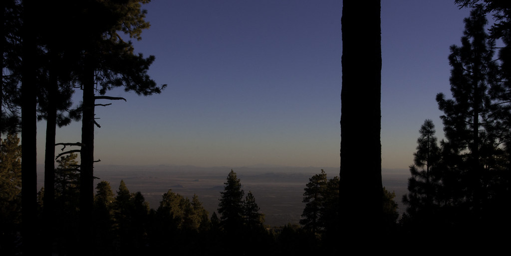
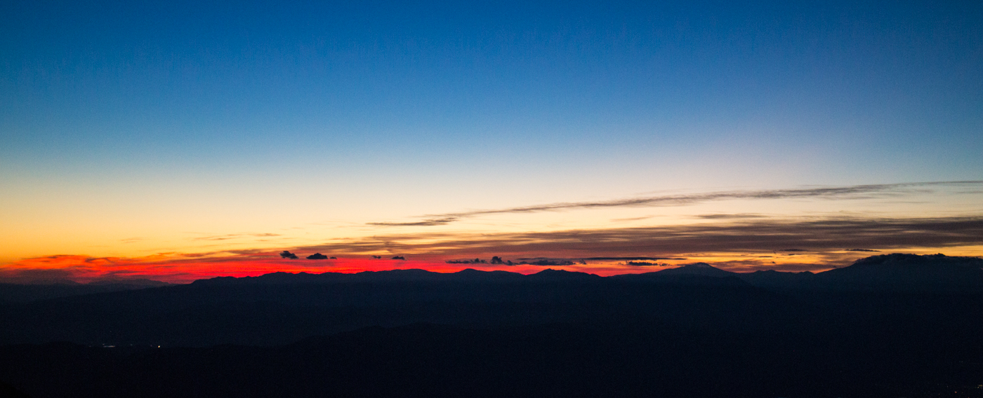
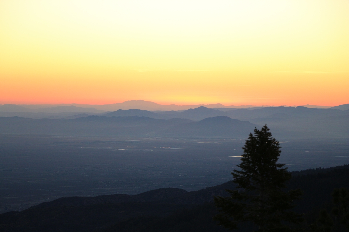
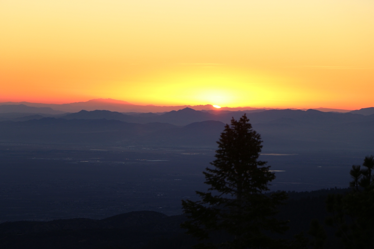
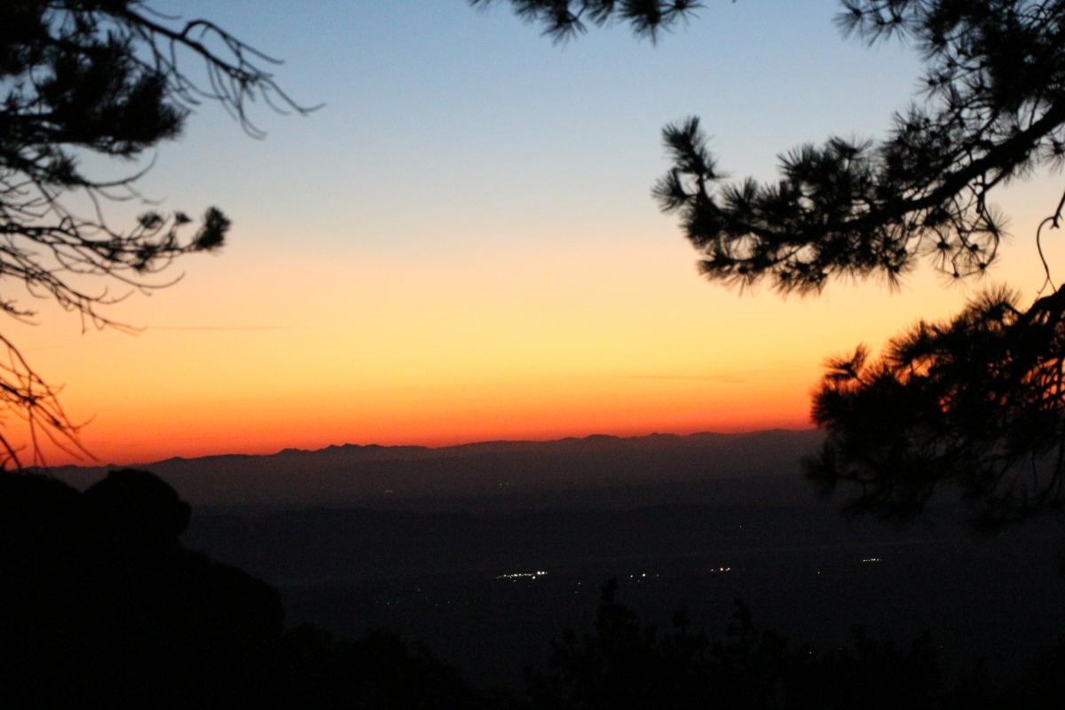
日出日落照片
The sun sets on 2013 [Explored]
Fire on the Mountain!

Shout from the Mountaintop

Fire on the Mountain!
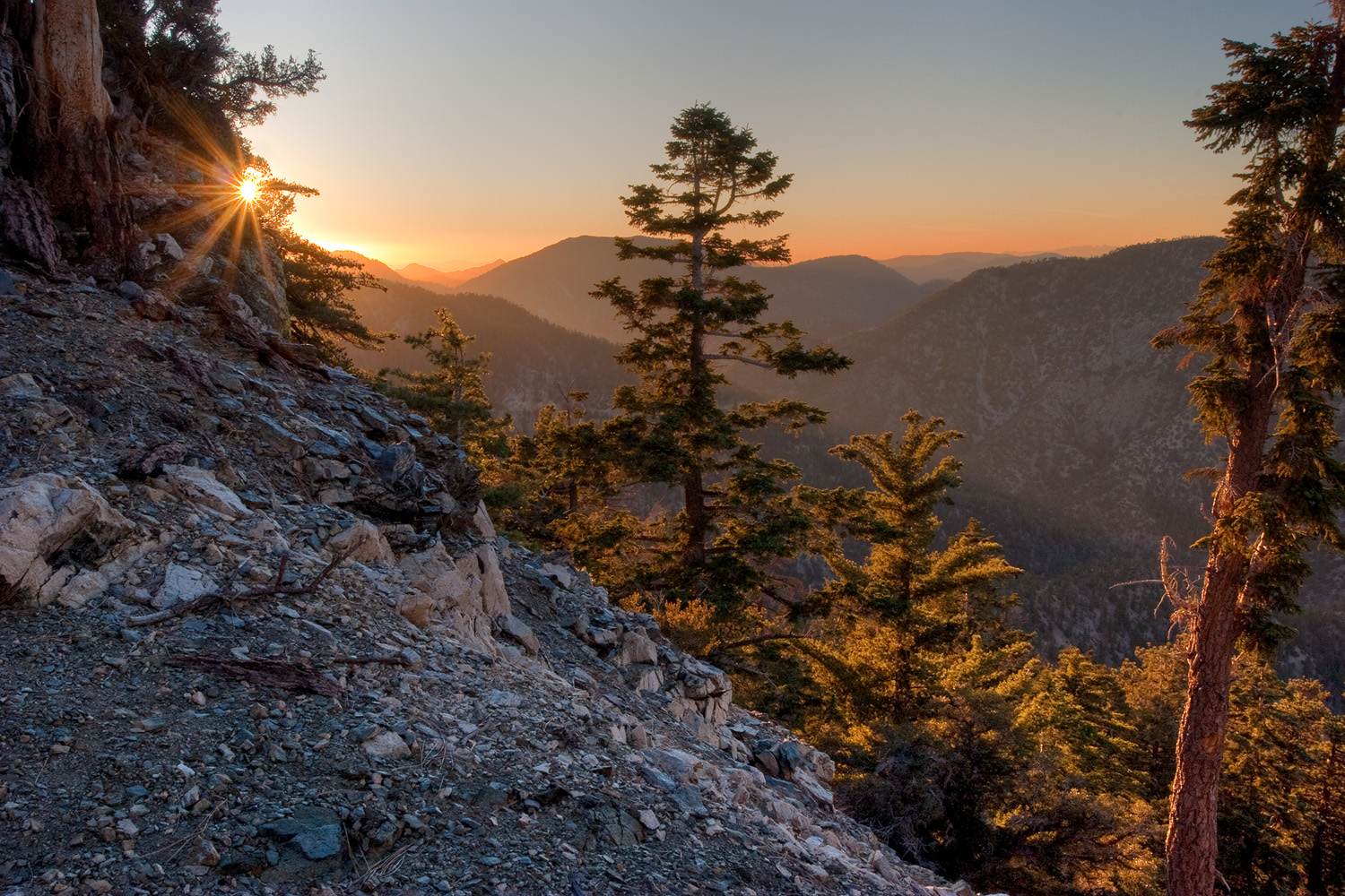
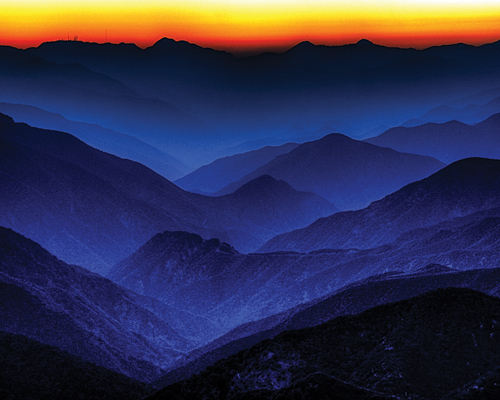
Alpenglow on Mt. San Antonio
Riding The Storm Out
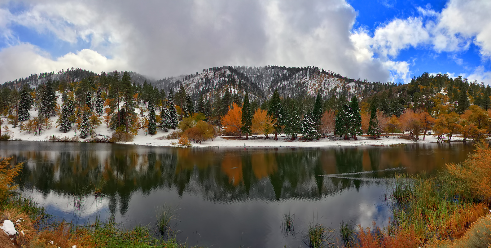
Autumn at Jackson Lake
Another #sunset in the books.
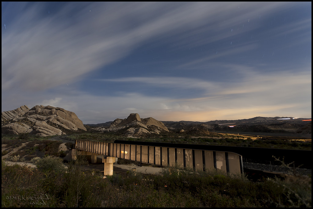
Sunset over the San Gabriel and Pleasant View Ridge Wilderness Areas

IMG_5326-1

Darkness closing in
Sunsetting over Ontario Peak
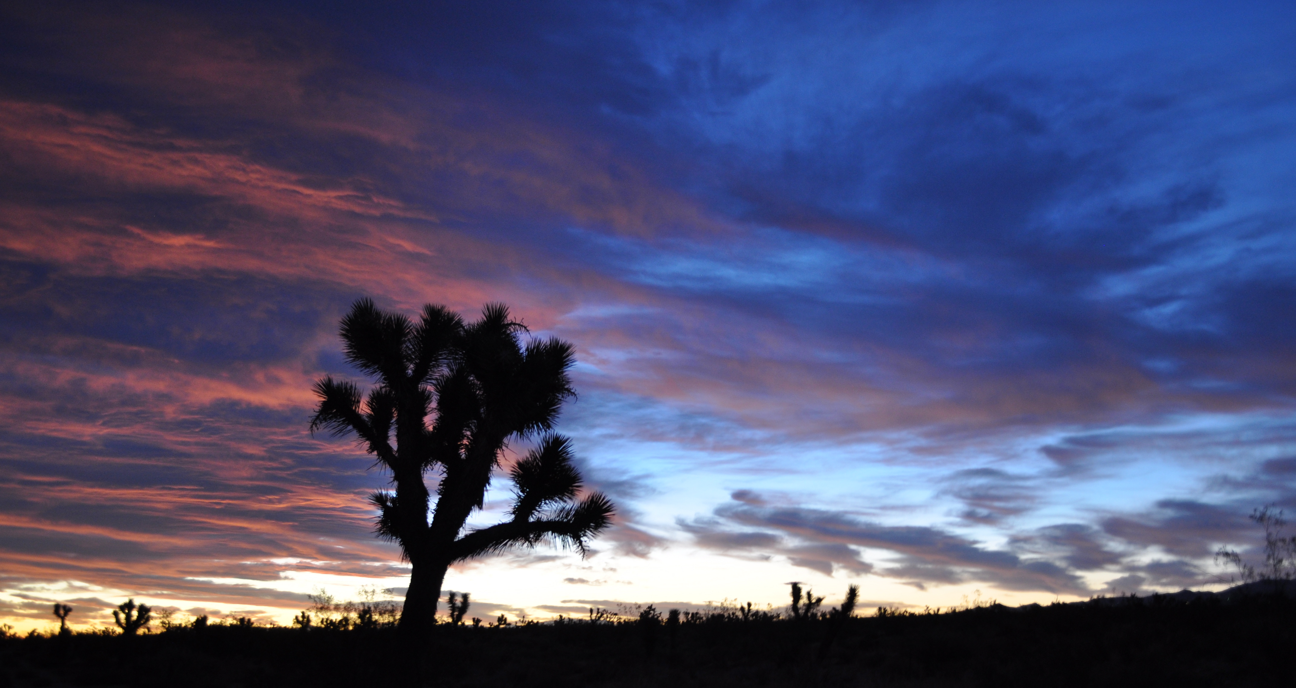
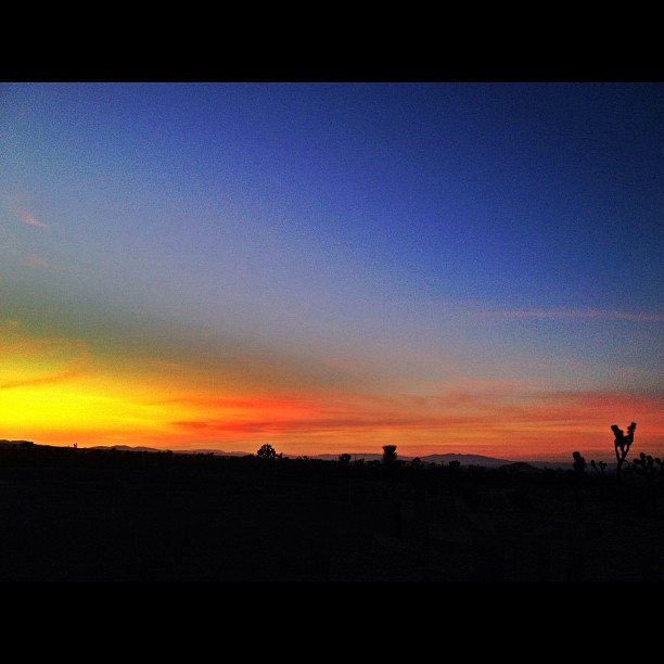
Joshua shades of blue
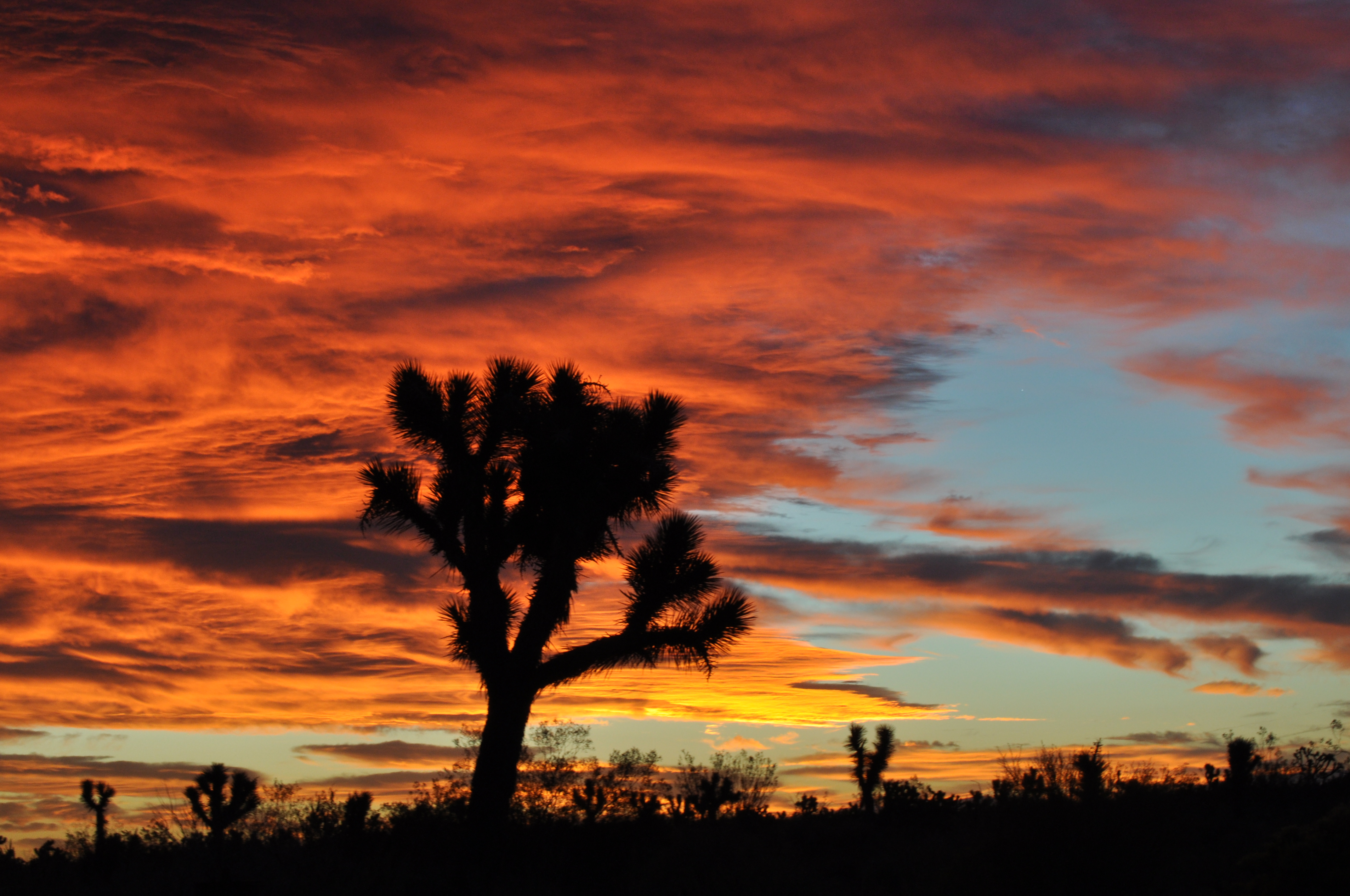
Joshua fire sky
Slipped Disc

Mormon Night
Mt. Baldy

Cucamonga Peak sunset
No Stillness in the Night
Toward Big Bear

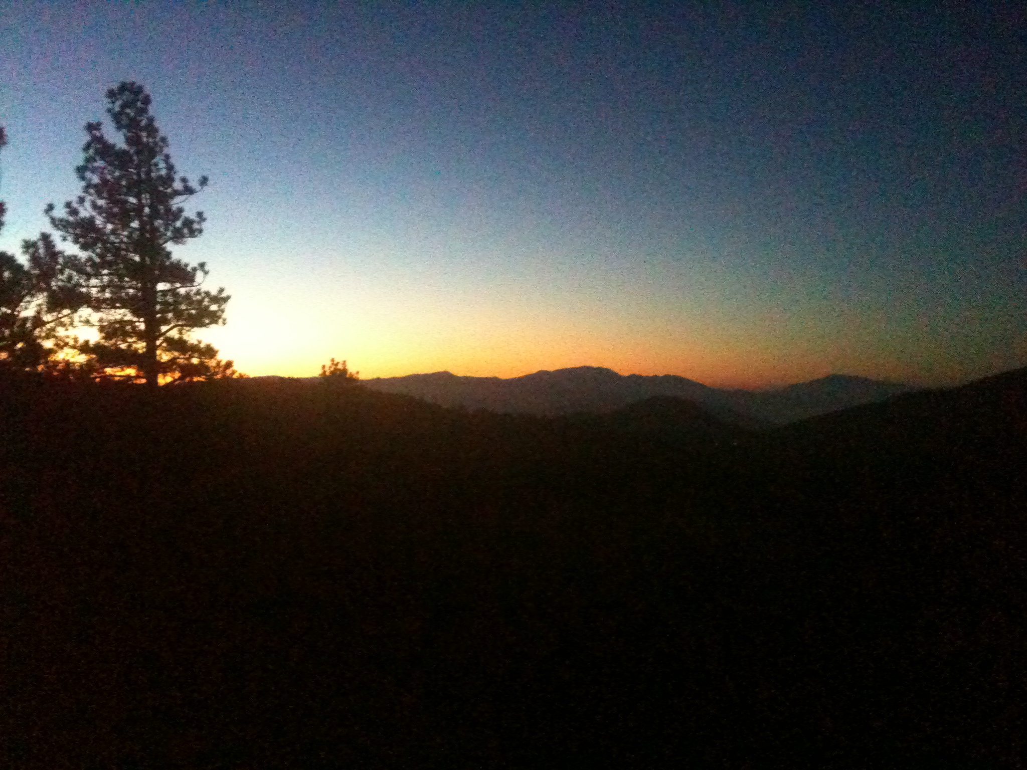
Wrightwood Mountains, California.
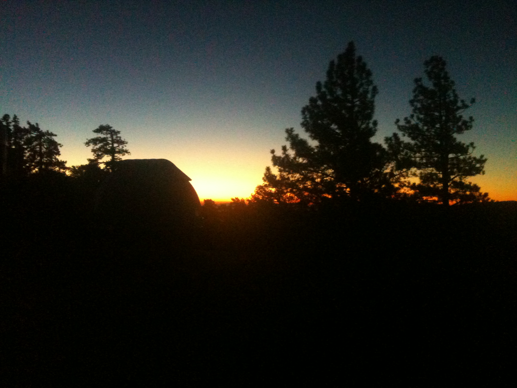
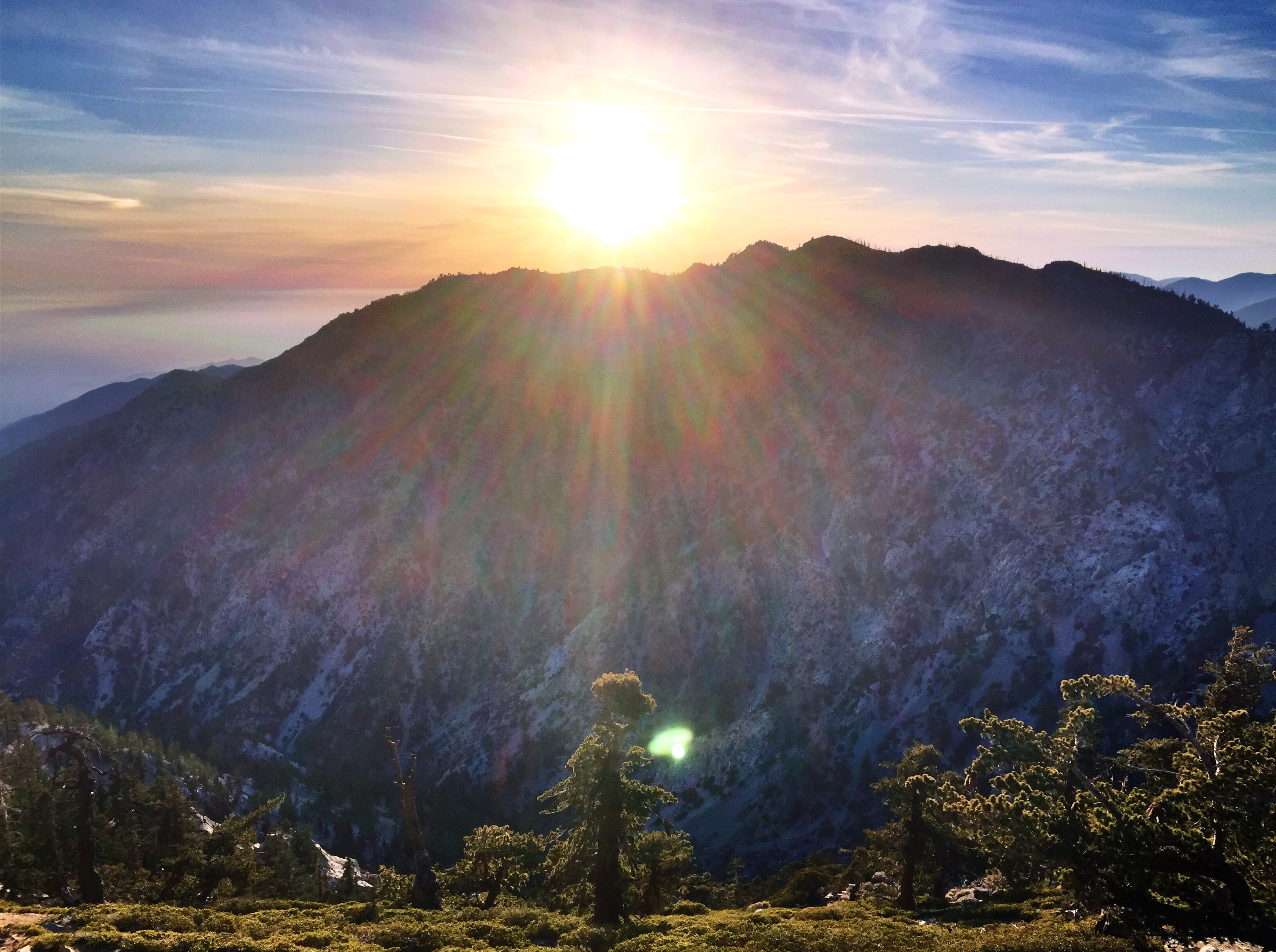
Dome sunrise

Bighorn Peak Sunrise
Many a memory...
Snowy Sunrise

So Cold!
California Morning
Canyon Light
Cucamonga sunrise panoramic

Sunrise from the Baldy Bowl trail
Desert View
Before Sunrise
368 Sunrise over Victorville from our campsite on the ridge above the Dawson Saddle Trail
370 Sunrise over Victorville from our campsite on the ridge above the Dawson Saddle Trail
361 Sunrise over Victorville from our campsite on the ridge above the Dawson Saddle Trail

357 Sunrise over Victorville from our campsite on the ridge above the Dawson Saddle Trail
美国加利福尼亚州赖特伍德的地图
查询其他地方的日出日落时间
美国加利福尼亚州赖特伍德的其他地方
附近地点
Helen St, Wrightwood, CA 美国
Helen St, Wrightwood, CA 美国
Elm St, Wrightwood, CA 美国
Irene St, Wrightwood, CA 美国
Acorn Dr, Wrightwood, CA 美国
Irene St, Wrightwood, CA 美国
Mountain View Ave, Wrightwood, CA 美国Mountain View Avenue
Acorn Dr, Wrightwood, CA 美国
Lark Dr, Wrightwood, CA 美国
Cardinal Rd, Wrightwood, CA 美国
Logwood Dr, Llano, CA 美国
Swallow Hill Dr, Llano, CA 美国
Summit Dr, Wrightwood, CA 美国
Locarno Dr, Wrightwood, CA 美国
78 Big Pines Hwy, Wrightwood, CA 美国Wrightwood Guest Ranch
美国加利福尼亚州蓝岭
Snowline Joint Unified School District, CA, 美国
Green Rd, Pinon Hills, CA 美国
Big Pines, CA 美国
Trinity Rd, Pinon Hills, CA 美国
最近搜索
- Rojo Ct, Atascadero, CA, USA的日出日落时间表
- Lumagwas, Adtuyon, RV32+MH7, Pangantucan, Bukidnon, 菲律宾Lumagwas Diversified Farmers Multi-Purpose Co的日出日落时间表
- 12 Hutchinson Woods Dr, Fletcher, NC 美国的日出日落时间表
- 秘鲁圣玛丽亚德马尔区的日出日落时间表
- Holloway Ave, San Francisco, CA 美国的日出日落时间表
- 1-chōme-1-5 Asahi, Utsunomiya, Tochigi -, Japan的日出日落时间表
- Bist Hazari, 阿富汗的日出日落时间表
- 82- D Rd, Captain Cook, HI 美国的日出日落时间表
- 英国哈洛CM20 2PR的日出日落时间表
- Yadozaki Tairausuiso, Iwaki, Fukushima -日本的日出日落时间表