美国缅因州切里菲尔德的日出日落时间表
Location: 美国 > 缅因州 > 华盛顿县 >
时区:
America/New_York
当地时间:
2024-04-18 20:49:50
经度:
-67.9258366
纬度:
44.6072991
今天日出时间:
05:39:04 AM
今天日落时间:
07:22:13 PM
今天日照时常:
13h 43m 9s
明天日出时间:
05:37:25 AM
明天日落时间:
07:23:27 PM
明天日照时常:
13h 46m 2s
显示所有日期
| 日期 | 日出 | 日落 | 日照时常 |
|---|---|---|---|
| 2024年01月01日 | 07:08:27 AM | 04:02:27 PM | 8h 54m 0s |
| 2024年01月02日 | 07:08:27 AM | 04:03:22 PM | 8h 54m 55s |
| 2024年01月03日 | 07:08:25 AM | 04:04:20 PM | 8h 55m 55s |
| 2024年01月04日 | 07:08:21 AM | 04:05:19 PM | 8h 56m 58s |
| 2024年01月05日 | 07:08:13 AM | 04:06:19 PM | 8h 58m 6s |
| 2024年01月06日 | 07:08:03 AM | 04:07:22 PM | 8h 59m 19s |
| 2024年01月07日 | 07:07:51 AM | 04:08:26 PM | 9h 0m 35s |
| 2024年01月08日 | 07:07:36 AM | 04:09:31 PM | 9h 1m 55s |
| 2024年01月09日 | 07:07:18 AM | 04:10:38 PM | 9h 3m 20s |
| 2024年01月10日 | 07:06:58 AM | 04:11:47 PM | 9h 4m 49s |
| 2024年01月11日 | 07:06:36 AM | 04:12:57 PM | 9h 6m 21s |
| 2024年01月12日 | 07:06:11 AM | 04:14:08 PM | 9h 7m 57s |
| 2024年01月13日 | 07:05:43 AM | 04:15:20 PM | 9h 9m 37s |
| 2024年01月14日 | 07:05:13 AM | 04:16:34 PM | 9h 11m 21s |
| 2024年01月15日 | 07:04:41 AM | 04:17:48 PM | 9h 13m 7s |
| 2024年01月16日 | 07:04:06 AM | 04:19:04 PM | 9h 14m 58s |
| 2024年01月17日 | 07:03:29 AM | 04:20:20 PM | 9h 16m 51s |
| 2024年01月18日 | 07:02:49 AM | 04:21:38 PM | 9h 18m 49s |
| 2024年01月19日 | 07:02:07 AM | 04:22:56 PM | 9h 20m 49s |
| 2024年01月20日 | 07:01:23 AM | 04:24:15 PM | 9h 22m 52s |
| 2024年01月21日 | 07:00:37 AM | 04:25:35 PM | 9h 24m 58s |
| 2024年01月22日 | 06:59:49 AM | 04:26:55 PM | 9h 27m 6s |
| 2024年01月23日 | 06:58:58 AM | 04:28:17 PM | 9h 29m 19s |
| 2024年01月24日 | 06:58:05 AM | 04:29:38 PM | 9h 31m 33s |
| 2024年01月25日 | 06:57:10 AM | 04:31:00 PM | 9h 33m 50s |
| 2024年01月26日 | 06:56:13 AM | 04:32:23 PM | 9h 36m 10s |
| 2024年01月27日 | 06:55:14 AM | 04:33:46 PM | 9h 38m 32s |
| 2024年01月28日 | 06:54:13 AM | 04:35:10 PM | 9h 40m 57s |
| 2024年01月29日 | 06:53:10 AM | 04:36:33 PM | 9h 43m 23s |
| 2024年01月30日 | 06:52:05 AM | 04:37:58 PM | 9h 45m 53s |
| 2024年01月31日 | 06:50:59 AM | 04:39:22 PM | 9h 48m 23s |
| 2024年02月01日 | 06:49:50 AM | 04:40:46 PM | 9h 50m 56s |
| 2024年02月02日 | 06:48:40 AM | 04:42:11 PM | 9h 53m 31s |
| 2024年02月03日 | 06:47:28 AM | 04:43:36 PM | 9h 56m 8s |
| 2024年02月04日 | 06:46:14 AM | 04:45:00 PM | 9h 58m 46s |
| 2024年02月05日 | 06:44:58 AM | 04:46:25 PM | 10h 1m 27s |
| 2024年02月06日 | 06:43:41 AM | 04:47:50 PM | 10h 4m 9s |
| 2024年02月07日 | 06:42:23 AM | 04:49:15 PM | 10h 6m 52s |
| 2024年02月08日 | 06:41:03 AM | 04:50:40 PM | 10h 9m 37s |
| 2024年02月09日 | 06:39:41 AM | 04:52:05 PM | 10h 12m 24s |
| 2024年02月10日 | 06:38:18 AM | 04:53:29 PM | 10h 15m 11s |
| 2024年02月11日 | 06:36:53 AM | 04:54:54 PM | 10h 18m 1s |
| 2024年02月12日 | 06:35:27 AM | 04:56:18 PM | 10h 20m 51s |
| 2024年02月13日 | 06:34:00 AM | 04:57:43 PM | 10h 23m 43s |
| 2024年02月14日 | 06:32:31 AM | 04:59:07 PM | 10h 26m 36s |
| 2024年02月15日 | 06:31:02 AM | 05:00:31 PM | 10h 29m 29s |
| 2024年02月16日 | 06:29:30 AM | 05:01:54 PM | 10h 32m 24s |
| 2024年02月17日 | 06:27:58 AM | 05:03:18 PM | 10h 35m 20s |
| 2024年02月18日 | 06:26:25 AM | 05:04:41 PM | 10h 38m 16s |
| 2024年02月19日 | 06:24:50 AM | 05:06:04 PM | 10h 41m 14s |
| 2024年02月20日 | 06:23:15 AM | 05:07:27 PM | 10h 44m 12s |
| 2024年02月21日 | 06:21:38 AM | 05:08:49 PM | 10h 47m 11s |
| 2024年02月22日 | 06:20:01 AM | 05:10:11 PM | 10h 50m 10s |
| 2024年02月23日 | 06:18:22 AM | 05:11:33 PM | 10h 53m 11s |
| 2024年02月24日 | 06:16:43 AM | 05:12:55 PM | 10h 56m 12s |
| 2024年02月25日 | 06:15:02 AM | 05:14:16 PM | 10h 59m 14s |
| 2024年02月26日 | 06:13:21 AM | 05:15:37 PM | 11h 2m 16s |
| 2024年02月27日 | 06:11:39 AM | 05:16:58 PM | 11h 5m 19s |
| 2024年02月28日 | 06:09:56 AM | 05:18:19 PM | 11h 8m 23s |
| 2024年02月29日 | 06:08:13 AM | 05:19:39 PM | 11h 11m 26s |
| 2024年03月01日 | 06:06:28 AM | 05:20:59 PM | 11h 14m 31s |
| 2024年03月02日 | 06:04:44 AM | 05:22:18 PM | 11h 17m 34s |
| 2024年03月03日 | 06:02:58 AM | 05:23:38 PM | 11h 20m 40s |
| 2024年03月04日 | 06:01:12 AM | 05:24:57 PM | 11h 23m 45s |
| 2024年03月05日 | 05:59:25 AM | 05:26:16 PM | 11h 26m 51s |
| 2024年03月06日 | 05:57:38 AM | 05:27:34 PM | 11h 29m 56s |
| 2024年03月07日 | 05:55:50 AM | 05:28:53 PM | 11h 33m 3s |
| 2024年03月08日 | 05:54:02 AM | 05:30:11 PM | 11h 36m 9s |
| 2024年03月09日 | 05:52:13 AM | 05:31:28 PM | 11h 39m 15s |
| 2024年03月10日 | 06:50:29 AM | 06:32:43 PM | 11h 42m 14s |
| 2024年03月11日 | 06:48:39 AM | 06:34:00 PM | 11h 45m 21s |
| 2024年03月12日 | 06:46:50 AM | 06:35:17 PM | 11h 48m 27s |
| 2024年03月13日 | 06:44:59 AM | 06:36:34 PM | 11h 51m 35s |
| 2024年03月14日 | 06:43:09 AM | 06:37:51 PM | 11h 54m 42s |
| 2024年03月15日 | 06:41:19 AM | 06:39:07 PM | 11h 57m 48s |
| 2024年03月16日 | 06:39:28 AM | 06:40:24 PM | 12h 0m 56s |
| 2024年03月17日 | 06:37:37 AM | 06:41:40 PM | 12h 4m 3s |
| 2024年03月18日 | 06:35:46 AM | 06:42:56 PM | 12h 7m 10s |
| 2024年03月19日 | 06:33:54 AM | 06:44:12 PM | 12h 10m 18s |
| 2024年03月20日 | 06:32:03 AM | 06:45:28 PM | 12h 13m 25s |
| 2024年03月21日 | 06:30:12 AM | 06:46:43 PM | 12h 16m 31s |
| 2024年03月22日 | 06:28:20 AM | 06:47:59 PM | 12h 19m 39s |
| 2024年03月23日 | 06:26:29 AM | 06:49:14 PM | 12h 22m 45s |
| 2024年03月24日 | 06:24:37 AM | 06:50:29 PM | 12h 25m 52s |
| 2024年03月25日 | 06:22:46 AM | 06:51:44 PM | 12h 28m 58s |
| 2024年03月26日 | 06:20:55 AM | 06:52:59 PM | 12h 32m 4s |
| 2024年03月27日 | 06:19:03 AM | 06:54:14 PM | 12h 35m 11s |
| 2024年03月28日 | 06:17:13 AM | 06:55:29 PM | 12h 38m 16s |
| 2024年03月29日 | 06:15:22 AM | 06:56:44 PM | 12h 41m 22s |
| 2024年03月30日 | 06:13:31 AM | 06:57:59 PM | 12h 44m 28s |
| 2024年03月31日 | 06:11:41 AM | 06:59:13 PM | 12h 47m 32s |
| 2024年04月01日 | 06:09:51 AM | 07:00:28 PM | 12h 50m 37s |
| 2024年04月02日 | 06:08:01 AM | 07:01:43 PM | 12h 53m 42s |
| 2024年04月03日 | 06:06:12 AM | 07:02:57 PM | 12h 56m 45s |
| 2024年04月04日 | 06:04:23 AM | 07:04:12 PM | 12h 59m 49s |
| 2024年04月05日 | 06:02:34 AM | 07:05:26 PM | 13h 2m 52s |
| 2024年04月06日 | 06:00:46 AM | 07:06:41 PM | 13h 5m 55s |
| 2024年04月07日 | 05:58:58 AM | 07:07:56 PM | 13h 8m 58s |
| 2024年04月08日 | 05:57:11 AM | 07:09:10 PM | 13h 11m 59s |
| 2024年04月09日 | 05:55:25 AM | 07:10:25 PM | 13h 15m 0s |
| 2024年04月10日 | 05:53:38 AM | 07:11:39 PM | 13h 18m 1s |
| 2024年04月11日 | 05:51:53 AM | 07:12:54 PM | 13h 21m 1s |
| 2024年04月12日 | 05:50:08 AM | 07:14:08 PM | 13h 24m 0s |
| 2024年04月13日 | 05:48:24 AM | 07:15:23 PM | 13h 26m 59s |
| 2024年04月14日 | 05:46:40 AM | 07:16:37 PM | 13h 29m 57s |
| 2024年04月15日 | 05:44:58 AM | 07:17:52 PM | 13h 32m 54s |
| 2024年04月16日 | 05:43:16 AM | 07:19:06 PM | 13h 35m 50s |
| 2024年04月17日 | 05:41:35 AM | 07:20:21 PM | 13h 38m 46s |
| 2024年04月18日 | 05:39:54 AM | 07:21:35 PM | 13h 41m 41s |
| 2024年04月19日 | 05:38:15 AM | 07:22:50 PM | 13h 44m 35s |
| 2024年04月20日 | 05:36:36 AM | 07:24:04 PM | 13h 47m 28s |
| 2024年04月21日 | 05:34:58 AM | 07:25:19 PM | 13h 50m 21s |
| 2024年04月22日 | 05:33:22 AM | 07:26:33 PM | 13h 53m 11s |
| 2024年04月23日 | 05:31:46 AM | 07:27:47 PM | 13h 56m 1s |
| 2024年04月24日 | 05:30:11 AM | 07:29:01 PM | 13h 58m 50s |
| 2024年04月25日 | 05:28:38 AM | 07:30:15 PM | 14h 1m 37s |
| 2024年04月26日 | 05:27:05 AM | 07:31:29 PM | 14h 4m 24s |
| 2024年04月27日 | 05:25:34 AM | 07:32:43 PM | 14h 7m 9s |
| 2024年04月28日 | 05:24:04 AM | 07:33:57 PM | 14h 9m 53s |
| 2024年04月29日 | 05:22:35 AM | 07:35:10 PM | 14h 12m 35s |
| 2024年04月30日 | 05:21:07 AM | 07:36:24 PM | 14h 15m 17s |
| 2024年05月01日 | 05:19:41 AM | 07:37:37 PM | 14h 17m 56s |
| 2024年05月02日 | 05:18:16 AM | 07:38:50 PM | 14h 20m 34s |
| 2024年05月03日 | 05:16:52 AM | 07:40:02 PM | 14h 23m 10s |
| 2024年05月04日 | 05:15:30 AM | 07:41:15 PM | 14h 25m 45s |
| 2024年05月05日 | 05:14:09 AM | 07:42:27 PM | 14h 28m 18s |
| 2024年05月06日 | 05:12:50 AM | 07:43:39 PM | 14h 30m 49s |
| 2024年05月07日 | 05:11:32 AM | 07:44:50 PM | 14h 33m 18s |
| 2024年05月08日 | 05:10:15 AM | 07:46:01 PM | 14h 35m 46s |
| 2024年05月09日 | 05:09:01 AM | 07:47:11 PM | 14h 38m 10s |
| 2024年05月10日 | 05:07:47 AM | 07:48:21 PM | 14h 40m 34s |
| 2024年05月11日 | 05:06:36 AM | 07:49:31 PM | 14h 42m 55s |
| 2024年05月12日 | 05:05:26 AM | 07:50:40 PM | 14h 45m 14s |
| 2024年05月13日 | 05:04:18 AM | 07:51:49 PM | 14h 47m 31s |
| 2024年05月14日 | 05:03:11 AM | 07:52:56 PM | 14h 49m 45s |
| 2024年05月15日 | 05:02:07 AM | 07:54:04 PM | 14h 51m 57s |
| 2024年05月16日 | 05:01:04 AM | 07:55:10 PM | 14h 54m 6s |
| 2024年05月17日 | 05:00:03 AM | 07:56:16 PM | 14h 56m 13s |
| 2024年05月18日 | 04:59:04 AM | 07:57:21 PM | 14h 58m 17s |
| 2024年05月19日 | 04:58:07 AM | 07:58:25 PM | 15h 0m 18s |
| 2024年05月20日 | 04:57:12 AM | 07:59:28 PM | 15h 2m 16s |
| 2024年05月21日 | 04:56:18 AM | 08:00:31 PM | 15h 4m 13s |
| 2024年05月22日 | 04:55:27 AM | 08:01:32 PM | 15h 6m 5s |
| 2024年05月23日 | 04:54:38 AM | 08:02:32 PM | 15h 7m 54s |
| 2024年05月24日 | 04:53:51 AM | 08:03:32 PM | 15h 9m 41s |
| 2024年05月25日 | 04:53:06 AM | 08:04:30 PM | 15h 11m 24s |
| 2024年05月26日 | 04:52:23 AM | 08:05:27 PM | 15h 13m 4s |
| 2024年05月27日 | 04:51:42 AM | 08:06:23 PM | 15h 14m 41s |
| 2024年05月28日 | 04:51:03 AM | 08:07:17 PM | 15h 16m 14s |
| 2024年05月29日 | 04:50:27 AM | 08:08:11 PM | 15h 17m 44s |
| 2024年05月30日 | 04:49:52 AM | 08:09:02 PM | 15h 19m 10s |
| 2024年05月31日 | 04:49:20 AM | 08:09:53 PM | 15h 20m 33s |
| 2024年06月01日 | 04:48:50 AM | 08:10:42 PM | 15h 21m 52s |
| 2024年06月02日 | 04:48:23 AM | 08:11:30 PM | 15h 23m 7s |
| 2024年06月03日 | 04:47:57 AM | 08:12:16 PM | 15h 24m 19s |
| 2024年06月04日 | 04:47:34 AM | 08:13:00 PM | 15h 25m 26s |
| 2024年06月05日 | 04:47:14 AM | 08:13:43 PM | 15h 26m 29s |
| 2024年06月06日 | 04:46:55 AM | 08:14:24 PM | 15h 27m 29s |
| 2024年06月07日 | 04:46:39 AM | 08:15:03 PM | 15h 28m 24s |
| 2024年06月08日 | 04:46:25 AM | 08:15:40 PM | 15h 29m 15s |
| 2024年06月09日 | 04:46:13 AM | 08:16:16 PM | 15h 30m 3s |
| 2024年06月10日 | 04:46:04 AM | 08:16:50 PM | 15h 30m 46s |
| 2024年06月11日 | 04:45:57 AM | 08:17:22 PM | 15h 31m 25s |
| 2024年06月12日 | 04:45:52 AM | 08:17:52 PM | 15h 32m 0s |
| 2024年06月13日 | 04:45:49 AM | 08:18:20 PM | 15h 32m 31s |
| 2024年06月14日 | 04:45:49 AM | 08:18:46 PM | 15h 32m 57s |
| 2024年06月15日 | 04:45:51 AM | 08:19:09 PM | 15h 33m 18s |
| 2024年06月16日 | 04:45:55 AM | 08:19:31 PM | 15h 33m 36s |
| 2024年06月17日 | 04:46:02 AM | 08:19:51 PM | 15h 33m 49s |
| 2024年06月18日 | 04:46:11 AM | 08:20:08 PM | 15h 33m 57s |
| 2024年06月19日 | 04:46:22 AM | 08:20:23 PM | 15h 34m 1s |
| 2024年06月20日 | 04:46:35 AM | 08:20:37 PM | 15h 34m 2s |
| 2024年06月21日 | 04:46:50 AM | 08:20:47 PM | 15h 33m 57s |
| 2024年06月22日 | 04:47:07 AM | 08:20:56 PM | 15h 33m 49s |
| 2024年06月23日 | 04:47:27 AM | 08:21:02 PM | 15h 33m 35s |
| 2024年06月24日 | 04:47:48 AM | 08:21:06 PM | 15h 33m 18s |
| 2024年06月25日 | 04:48:11 AM | 08:21:08 PM | 15h 32m 57s |
| 2024年06月26日 | 04:48:37 AM | 08:21:07 PM | 15h 32m 30s |
| 2024年06月27日 | 04:49:04 AM | 08:21:05 PM | 15h 32m 1s |
| 2024年06月28日 | 04:49:34 AM | 08:20:59 PM | 15h 31m 25s |
| 2024年06月29日 | 04:50:05 AM | 08:20:52 PM | 15h 30m 47s |
| 2024年06月30日 | 04:50:38 AM | 08:20:42 PM | 15h 30m 4s |
| 2024年07月01日 | 04:51:13 AM | 08:20:30 PM | 15h 29m 17s |
| 2024年07月02日 | 04:51:49 AM | 08:20:15 PM | 15h 28m 26s |
| 2024年07月03日 | 04:52:28 AM | 08:19:58 PM | 15h 27m 30s |
| 2024年07月04日 | 04:53:08 AM | 08:19:39 PM | 15h 26m 31s |
| 2024年07月05日 | 04:53:49 AM | 08:19:17 PM | 15h 25m 28s |
| 2024年07月06日 | 04:54:32 AM | 08:18:53 PM | 15h 24m 21s |
| 2024年07月07日 | 04:55:17 AM | 08:18:27 PM | 15h 23m 10s |
| 2024年07月08日 | 04:56:03 AM | 08:17:59 PM | 15h 21m 56s |
| 2024年07月09日 | 04:56:51 AM | 08:17:28 PM | 15h 20m 37s |
| 2024年07月10日 | 04:57:40 AM | 08:16:55 PM | 15h 19m 15s |
| 2024年07月11日 | 04:58:30 AM | 08:16:20 PM | 15h 17m 50s |
| 2024年07月12日 | 04:59:22 AM | 08:15:42 PM | 15h 16m 20s |
| 2024年07月13日 | 05:00:15 AM | 08:15:03 PM | 15h 14m 48s |
| 2024年07月14日 | 05:01:08 AM | 08:14:21 PM | 15h 13m 13s |
| 2024年07月15日 | 05:02:04 AM | 08:13:37 PM | 15h 11m 33s |
| 2024年07月16日 | 05:03:00 AM | 08:12:51 PM | 15h 9m 51s |
| 2024年07月17日 | 05:03:57 AM | 08:12:02 PM | 15h 8m 5s |
| 2024年07月18日 | 05:04:55 AM | 08:11:12 PM | 15h 6m 17s |
| 2024年07月19日 | 05:05:54 AM | 08:10:20 PM | 15h 4m 26s |
| 2024年07月20日 | 05:06:54 AM | 08:09:25 PM | 15h 2m 31s |
| 2024年07月21日 | 05:07:55 AM | 08:08:29 PM | 15h 0m 34s |
| 2024年07月22日 | 05:08:57 AM | 08:07:31 PM | 14h 58m 34s |
| 2024年07月23日 | 05:09:59 AM | 08:06:30 PM | 14h 56m 31s |
| 2024年07月24日 | 05:11:02 AM | 08:05:28 PM | 14h 54m 26s |
| 2024年07月25日 | 05:12:06 AM | 08:04:24 PM | 14h 52m 18s |
| 2024年07月26日 | 05:13:11 AM | 08:03:18 PM | 14h 50m 7s |
| 2024年07月27日 | 05:14:16 AM | 08:02:11 PM | 14h 47m 55s |
| 2024年07月28日 | 05:15:21 AM | 08:01:01 PM | 14h 45m 40s |
| 2024年07月29日 | 05:16:27 AM | 07:59:50 PM | 14h 43m 23s |
| 2024年07月30日 | 05:17:34 AM | 07:58:38 PM | 14h 41m 4s |
| 2024年07月31日 | 05:18:41 AM | 07:57:23 PM | 14h 38m 42s |
| 2024年08月01日 | 05:19:48 AM | 07:56:07 PM | 14h 36m 19s |
| 2024年08月02日 | 05:20:56 AM | 07:54:49 PM | 14h 33m 53s |
| 2024年08月03日 | 05:22:04 AM | 07:53:30 PM | 14h 31m 26s |
| 2024年08月04日 | 05:23:12 AM | 07:52:10 PM | 14h 28m 58s |
| 2024年08月05日 | 05:24:21 AM | 07:50:47 PM | 14h 26m 26s |
| 2024年08月06日 | 05:25:30 AM | 07:49:24 PM | 14h 23m 54s |
| 2024年08月07日 | 05:26:39 AM | 07:47:59 PM | 14h 21m 20s |
| 2024年08月08日 | 05:27:48 AM | 07:46:32 PM | 14h 18m 44s |
| 2024年08月09日 | 05:28:58 AM | 07:45:05 PM | 14h 16m 7s |
| 2024年08月10日 | 05:30:07 AM | 07:43:36 PM | 14h 13m 29s |
| 2024年08月11日 | 05:31:17 AM | 07:42:05 PM | 14h 10m 48s |
| 2024年08月12日 | 05:32:27 AM | 07:40:34 PM | 14h 8m 7s |
| 2024年08月13日 | 05:33:37 AM | 07:39:01 PM | 14h 5m 24s |
| 2024年08月14日 | 05:34:47 AM | 07:37:27 PM | 14h 2m 40s |
| 2024年08月15日 | 05:35:57 AM | 07:35:53 PM | 13h 59m 56s |
| 2024年08月16日 | 05:37:08 AM | 07:34:17 PM | 13h 57m 9s |
| 2024年08月17日 | 05:38:18 AM | 07:32:39 PM | 13h 54m 21s |
| 2024年08月18日 | 05:39:28 AM | 07:31:01 PM | 13h 51m 33s |
| 2024年08月19日 | 05:40:39 AM | 07:29:22 PM | 13h 48m 43s |
| 2024年08月20日 | 05:41:49 AM | 07:27:42 PM | 13h 45m 53s |
| 2024年08月21日 | 05:42:59 AM | 07:26:01 PM | 13h 43m 2s |
| 2024年08月22日 | 05:44:09 AM | 07:24:20 PM | 13h 40m 11s |
| 2024年08月23日 | 05:45:20 AM | 07:22:37 PM | 13h 37m 17s |
| 2024年08月24日 | 05:46:30 AM | 07:20:54 PM | 13h 34m 24s |
| 2024年08月25日 | 05:47:40 AM | 07:19:09 PM | 13h 31m 29s |
| 2024年08月26日 | 05:48:50 AM | 07:17:24 PM | 13h 28m 34s |
| 2024年08月27日 | 05:50:01 AM | 07:15:39 PM | 13h 25m 38s |
| 2024年08月28日 | 05:51:11 AM | 07:13:52 PM | 13h 22m 41s |
| 2024年08月29日 | 05:52:21 AM | 07:12:05 PM | 13h 19m 44s |
| 2024年08月30日 | 05:53:31 AM | 07:10:18 PM | 13h 16m 47s |
| 2024年08月31日 | 05:54:41 AM | 07:08:30 PM | 13h 13m 49s |
| 2024年09月01日 | 05:55:51 AM | 07:06:41 PM | 13h 10m 50s |
| 2024年09月02日 | 05:57:01 AM | 07:04:52 PM | 13h 7m 51s |
| 2024年09月03日 | 05:58:11 AM | 07:03:02 PM | 13h 4m 51s |
| 2024年09月04日 | 05:59:21 AM | 07:01:12 PM | 13h 1m 51s |
| 2024年09月05日 | 06:00:31 AM | 06:59:21 PM | 12h 58m 50s |
| 2024年09月06日 | 06:01:41 AM | 06:57:30 PM | 12h 55m 49s |
| 2024年09月07日 | 06:02:51 AM | 06:55:39 PM | 12h 52m 48s |
| 2024年09月08日 | 06:04:01 AM | 06:53:47 PM | 12h 49m 46s |
| 2024年09月09日 | 06:05:11 AM | 06:51:55 PM | 12h 46m 44s |
| 2024年09月10日 | 06:06:21 AM | 06:50:03 PM | 12h 43m 42s |
| 2024年09月11日 | 06:07:31 AM | 06:48:10 PM | 12h 40m 39s |
| 2024年09月12日 | 06:08:41 AM | 06:46:18 PM | 12h 37m 37s |
| 2024年09月13日 | 06:09:51 AM | 06:44:25 PM | 12h 34m 34s |
| 2024年09月14日 | 06:11:02 AM | 06:42:32 PM | 12h 31m 30s |
| 2024年09月15日 | 06:12:12 AM | 06:40:38 PM | 12h 28m 26s |
| 2024年09月16日 | 06:13:22 AM | 06:38:45 PM | 12h 25m 23s |
| 2024年09月17日 | 06:14:33 AM | 06:36:52 PM | 12h 22m 19s |
| 2024年09月18日 | 06:15:43 AM | 06:34:58 PM | 12h 19m 15s |
| 2024年09月19日 | 06:16:54 AM | 06:33:05 PM | 12h 16m 11s |
| 2024年09月20日 | 06:18:05 AM | 06:31:12 PM | 12h 13m 7s |
| 2024年09月21日 | 06:19:16 AM | 06:29:18 PM | 12h 10m 2s |
| 2024年09月22日 | 06:20:27 AM | 06:27:25 PM | 12h 6m 58s |
| 2024年09月23日 | 06:21:38 AM | 06:25:32 PM | 12h 3m 54s |
| 2024年09月24日 | 06:22:49 AM | 06:23:39 PM | 12h 0m 50s |
| 2024年09月25日 | 06:24:01 AM | 06:21:47 PM | 11h 57m 46s |
| 2024年09月26日 | 06:25:13 AM | 06:19:54 PM | 11h 54m 41s |
| 2024年09月27日 | 06:26:25 AM | 06:18:02 PM | 11h 51m 37s |
| 2024年09月28日 | 06:27:37 AM | 06:16:10 PM | 11h 48m 33s |
| 2024年09月29日 | 06:28:49 AM | 06:14:18 PM | 11h 45m 29s |
| 2024年09月30日 | 06:30:02 AM | 06:12:27 PM | 11h 42m 25s |
| 2024年10月01日 | 06:31:15 AM | 06:10:36 PM | 11h 39m 21s |
| 2024年10月02日 | 06:32:28 AM | 06:08:45 PM | 11h 36m 17s |
| 2024年10月03日 | 06:33:41 AM | 06:06:55 PM | 11h 33m 14s |
| 2024年10月04日 | 06:34:55 AM | 06:05:05 PM | 11h 30m 10s |
| 2024年10月05日 | 06:36:08 AM | 06:03:16 PM | 11h 27m 8s |
| 2024年10月06日 | 06:37:23 AM | 06:01:27 PM | 11h 24m 4s |
| 2024年10月07日 | 06:38:37 AM | 05:59:39 PM | 11h 21m 2s |
| 2024年10月08日 | 06:39:52 AM | 05:57:52 PM | 11h 18m 0s |
| 2024年10月09日 | 06:41:07 AM | 05:56:05 PM | 11h 14m 58s |
| 2024年10月10日 | 06:42:22 AM | 05:54:18 PM | 11h 11m 56s |
| 2024年10月11日 | 06:43:38 AM | 05:52:33 PM | 11h 8m 55s |
| 2024年10月12日 | 06:44:54 AM | 05:50:48 PM | 11h 5m 54s |
| 2024年10月13日 | 06:46:10 AM | 05:49:04 PM | 11h 2m 54s |
| 2024年10月14日 | 06:47:26 AM | 05:47:21 PM | 10h 59m 55s |
| 2024年10月15日 | 06:48:43 AM | 05:45:38 PM | 10h 56m 55s |
| 2024年10月16日 | 06:50:00 AM | 05:43:57 PM | 10h 53m 57s |
| 2024年10月17日 | 06:51:18 AM | 05:42:16 PM | 10h 50m 58s |
| 2024年10月18日 | 06:52:35 AM | 05:40:36 PM | 10h 48m 1s |
| 2024年10月19日 | 06:53:53 AM | 05:38:57 PM | 10h 45m 4s |
| 2024年10月20日 | 06:55:12 AM | 05:37:20 PM | 10h 42m 8s |
| 2024年10月21日 | 06:56:30 AM | 05:35:43 PM | 10h 39m 13s |
| 2024年10月22日 | 06:57:49 AM | 05:34:07 PM | 10h 36m 18s |
| 2024年10月23日 | 06:59:09 AM | 05:32:33 PM | 10h 33m 24s |
| 2024年10月24日 | 07:00:28 AM | 05:30:59 PM | 10h 30m 31s |
| 2024年10月25日 | 07:01:48 AM | 05:29:27 PM | 10h 27m 39s |
| 2024年10月26日 | 07:03:08 AM | 05:27:56 PM | 10h 24m 48s |
| 2024年10月27日 | 07:04:28 AM | 05:26:27 PM | 10h 21m 59s |
| 2024年10月28日 | 07:05:48 AM | 05:24:58 PM | 10h 19m 10s |
| 2024年10月29日 | 07:07:09 AM | 05:23:31 PM | 10h 16m 22s |
| 2024年10月30日 | 07:08:30 AM | 05:22:06 PM | 10h 13m 36s |
| 2024年10月31日 | 07:09:51 AM | 05:20:42 PM | 10h 10m 51s |
| 2024年11月01日 | 07:11:12 AM | 05:19:19 PM | 10h 8m 7s |
| 2024年11月02日 | 07:12:33 AM | 05:17:58 PM | 10h 5m 25s |
| 2024年11月03日 | 06:13:57 AM | 04:16:35 PM | 10h 2m 38s |
| 2024年11月04日 | 06:15:19 AM | 04:15:17 PM | 9h 59m 58s |
| 2024年11月05日 | 06:16:40 AM | 04:14:01 PM | 9h 57m 21s |
| 2024年11月06日 | 06:18:01 AM | 04:12:46 PM | 9h 54m 45s |
| 2024年11月07日 | 06:19:23 AM | 04:11:33 PM | 9h 52m 10s |
| 2024年11月08日 | 06:20:44 AM | 04:10:22 PM | 9h 49m 38s |
| 2024年11月09日 | 06:22:05 AM | 04:09:13 PM | 9h 47m 8s |
| 2024年11月10日 | 06:23:26 AM | 04:08:05 PM | 9h 44m 39s |
| 2024年11月11日 | 06:24:47 AM | 04:07:00 PM | 9h 42m 13s |
| 2024年11月12日 | 06:26:07 AM | 04:05:56 PM | 9h 39m 49s |
| 2024年11月13日 | 06:27:28 AM | 04:04:54 PM | 9h 37m 26s |
| 2024年11月14日 | 06:28:48 AM | 04:03:54 PM | 9h 35m 6s |
| 2024年11月15日 | 06:30:07 AM | 04:02:57 PM | 9h 32m 50s |
| 2024年11月16日 | 06:31:26 AM | 04:02:01 PM | 9h 30m 35s |
| 2024年11月17日 | 06:32:45 AM | 04:01:08 PM | 9h 28m 23s |
| 2024年11月18日 | 06:34:03 AM | 04:00:16 PM | 9h 26m 13s |
| 2024年11月19日 | 06:35:21 AM | 03:59:27 PM | 9h 24m 6s |
| 2024年11月20日 | 06:36:38 AM | 03:58:40 PM | 9h 22m 2s |
| 2024年11月21日 | 06:37:55 AM | 03:57:56 PM | 9h 20m 1s |
| 2024年11月22日 | 06:39:10 AM | 03:57:13 PM | 9h 18m 3s |
| 2024年11月23日 | 06:40:25 AM | 03:56:33 PM | 9h 16m 8s |
| 2024年11月24日 | 06:41:39 AM | 03:55:56 PM | 9h 14m 17s |
| 2024年11月25日 | 06:42:52 AM | 03:55:20 PM | 9h 12m 28s |
| 2024年11月26日 | 06:44:05 AM | 03:54:47 PM | 9h 10m 42s |
| 2024年11月27日 | 06:45:16 AM | 03:54:17 PM | 9h 9m 1s |
| 2024年11月28日 | 06:46:26 AM | 03:53:49 PM | 9h 7m 23s |
| 2024年11月29日 | 06:47:35 AM | 03:53:24 PM | 9h 5m 49s |
| 2024年11月30日 | 06:48:42 AM | 03:53:01 PM | 9h 4m 19s |
| 2024年12月01日 | 06:49:49 AM | 03:52:41 PM | 9h 2m 52s |
| 2024年12月02日 | 06:50:54 AM | 03:52:23 PM | 9h 1m 29s |
| 2024年12月03日 | 06:51:58 AM | 03:52:08 PM | 9h 0m 10s |
| 2024年12月04日 | 06:53:00 AM | 03:51:55 PM | 8h 58m 55s |
| 2024年12月05日 | 06:54:00 AM | 03:51:45 PM | 8h 57m 45s |
| 2024年12月06日 | 06:55:00 AM | 03:51:38 PM | 8h 56m 38s |
| 2024年12月07日 | 06:55:57 AM | 03:51:33 PM | 8h 55m 36s |
| 2024年12月08日 | 06:56:53 AM | 03:51:31 PM | 8h 54m 38s |
| 2024年12月09日 | 06:57:47 AM | 03:51:31 PM | 8h 53m 44s |
| 2024年12月10日 | 06:58:39 AM | 03:51:34 PM | 8h 52m 55s |
| 2024年12月11日 | 06:59:29 AM | 03:51:40 PM | 8h 52m 11s |
| 2024年12月12日 | 07:00:17 AM | 03:51:48 PM | 8h 51m 31s |
| 2024年12月13日 | 07:01:04 AM | 03:51:59 PM | 8h 50m 55s |
| 2024年12月14日 | 07:01:48 AM | 03:52:13 PM | 8h 50m 25s |
| 2024年12月15日 | 07:02:30 AM | 03:52:29 PM | 8h 49m 59s |
| 2024年12月16日 | 07:03:10 AM | 03:52:47 PM | 8h 49m 37s |
| 2024年12月17日 | 07:03:48 AM | 03:53:09 PM | 8h 49m 21s |
| 2024年12月18日 | 07:04:23 AM | 03:53:32 PM | 8h 49m 9s |
| 2024年12月19日 | 07:04:57 AM | 03:53:58 PM | 8h 49m 1s |
| 2024年12月20日 | 07:05:28 AM | 03:54:27 PM | 8h 48m 59s |
| 2024年12月21日 | 07:05:56 AM | 03:54:58 PM | 8h 49m 2s |
| 2024年12月22日 | 07:06:22 AM | 03:55:32 PM | 8h 49m 10s |
| 2024年12月23日 | 07:06:46 AM | 03:56:07 PM | 8h 49m 21s |
| 2024年12月24日 | 07:07:07 AM | 03:56:46 PM | 8h 49m 39s |
| 2024年12月25日 | 07:07:26 AM | 03:57:26 PM | 8h 50m 0s |
| 2024年12月26日 | 07:07:43 AM | 03:58:09 PM | 8h 50m 26s |
| 2024年12月27日 | 07:07:56 AM | 03:58:54 PM | 8h 50m 58s |
| 2024年12月28日 | 07:08:08 AM | 03:59:40 PM | 8h 51m 32s |
| 2024年12月29日 | 07:08:17 AM | 04:00:29 PM | 8h 52m 12s |
| 2024年12月30日 | 07:08:23 AM | 04:01:21 PM | 8h 52m 58s |
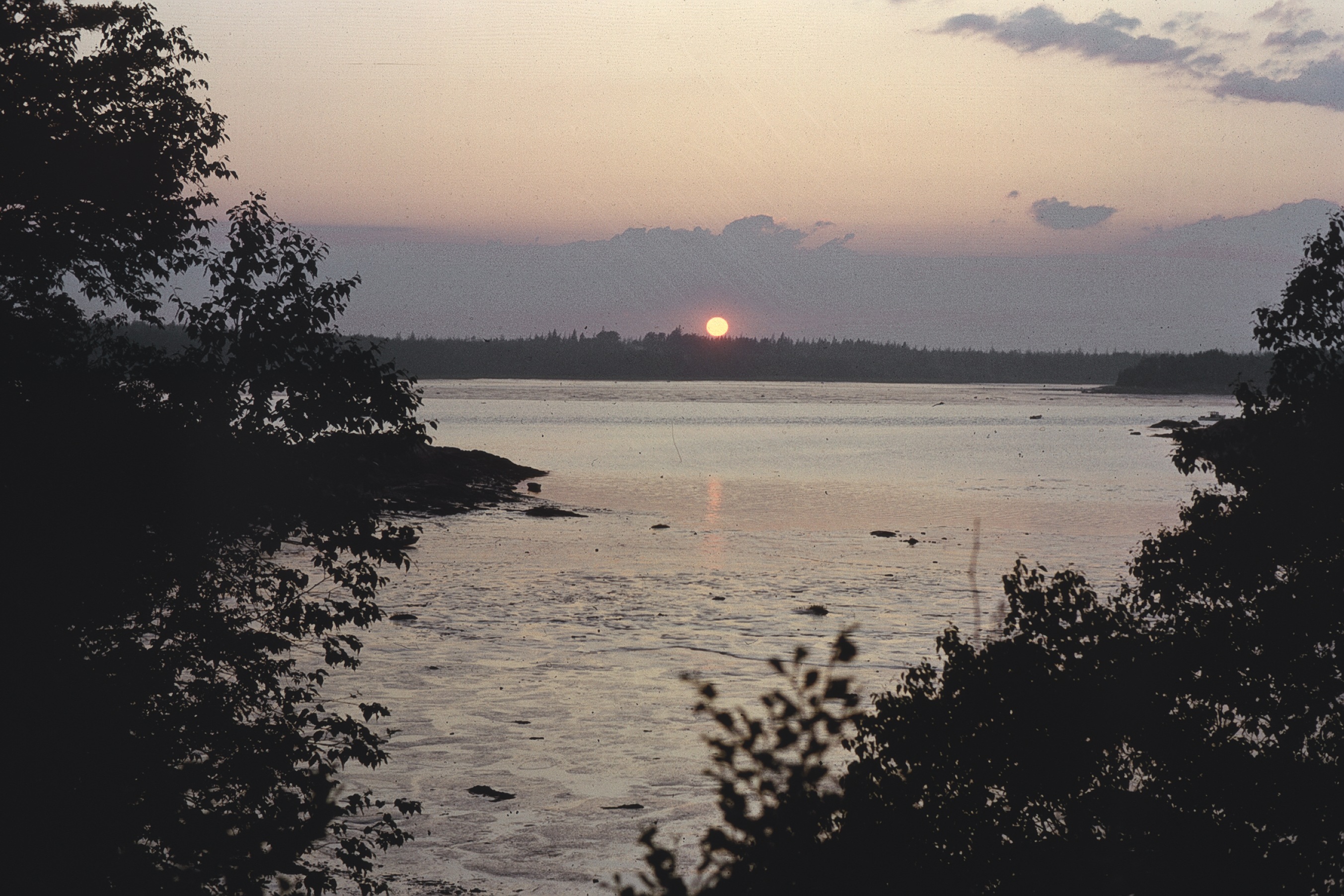
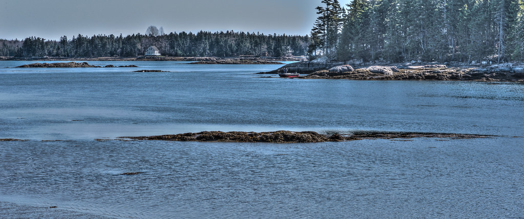
日出日落照片

Tunk at Dusk
Tunk at Dusk
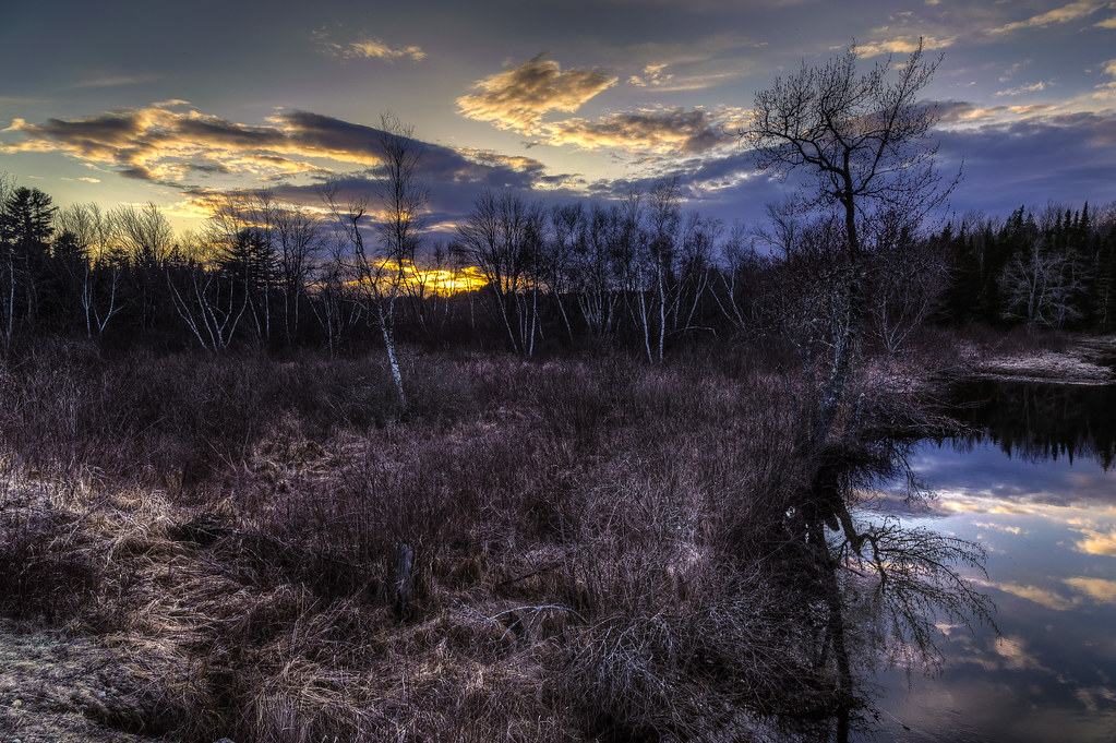
Sunset and Birch
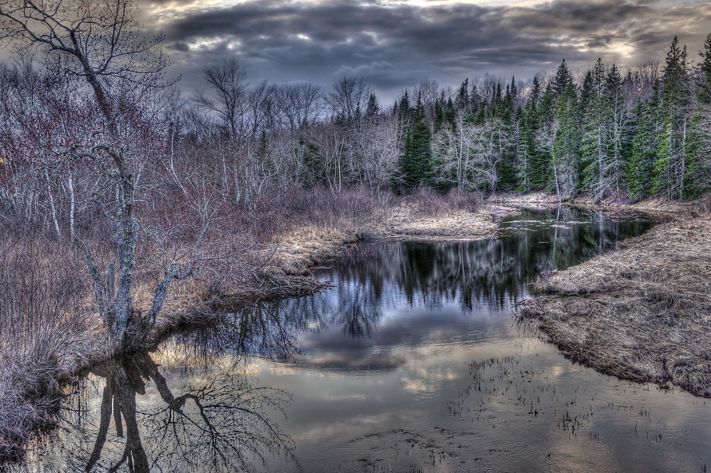
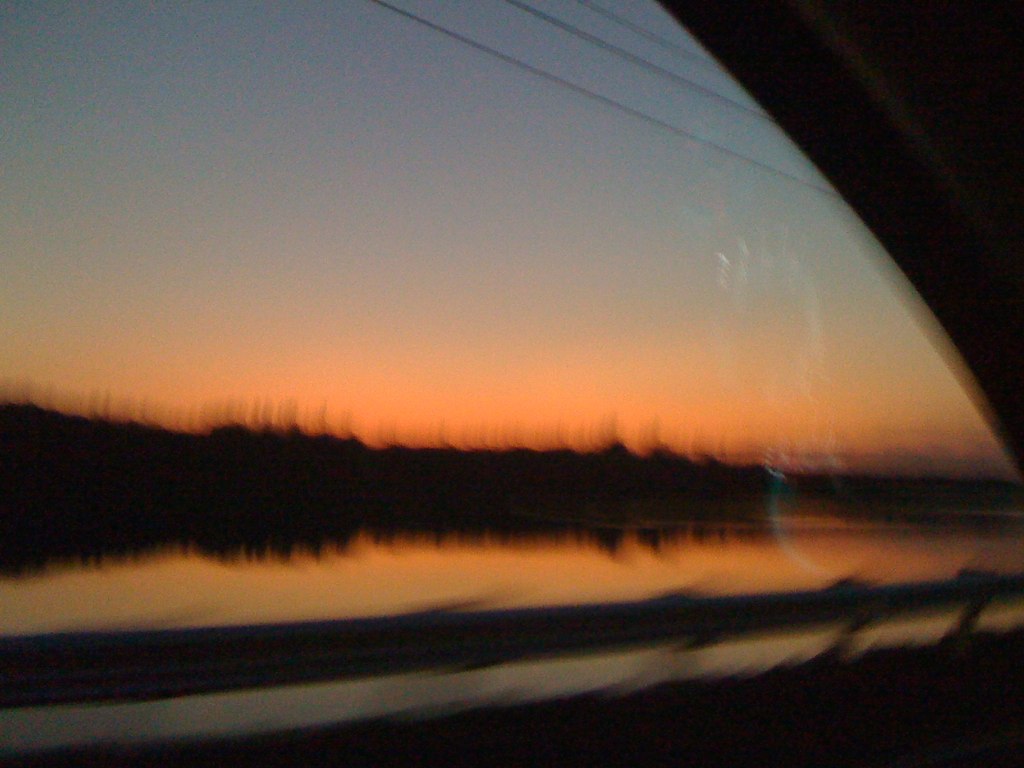
Evening calm along Tunk
Tunk at Dusk
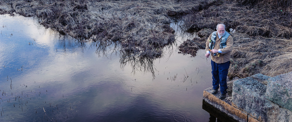
Todd Binns fly fishing
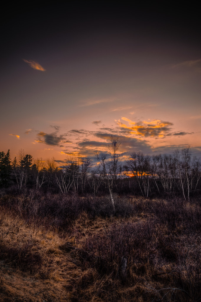
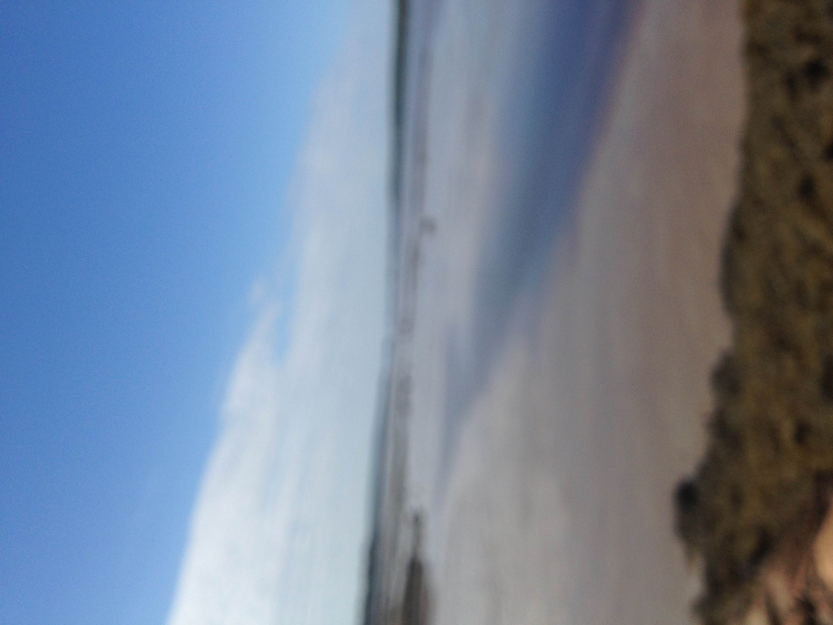
maine sunset
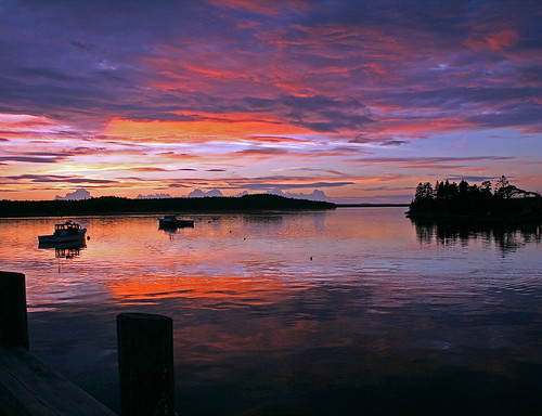
Harrington Landing Sunset
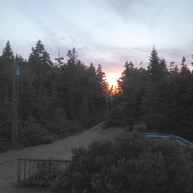
Sunset in the wilderness of Maine.
Fundy Bay
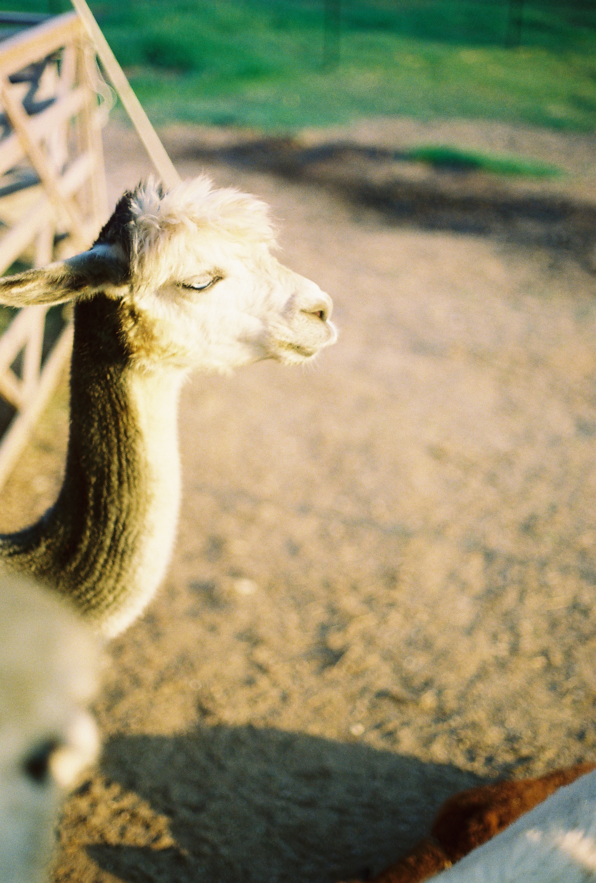
Sunset Alpaca/Tauntaun

American Bridge Company

Tree gosts

Tunk Stream from old Down East Sunrise Trail rail bridge
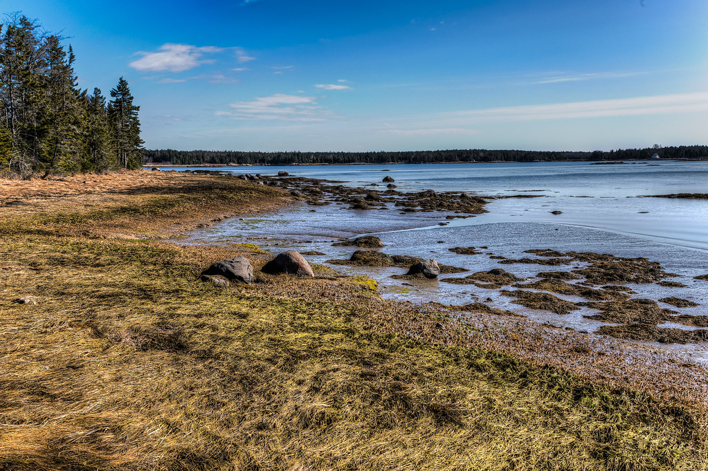
Todd and Kathy's shoreline
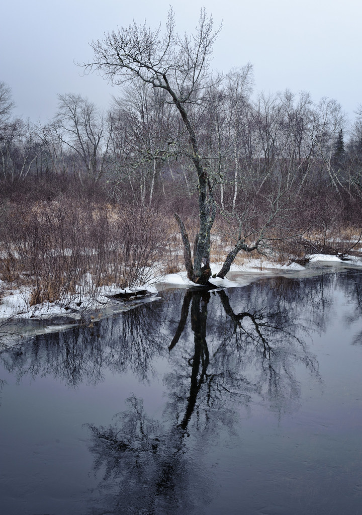
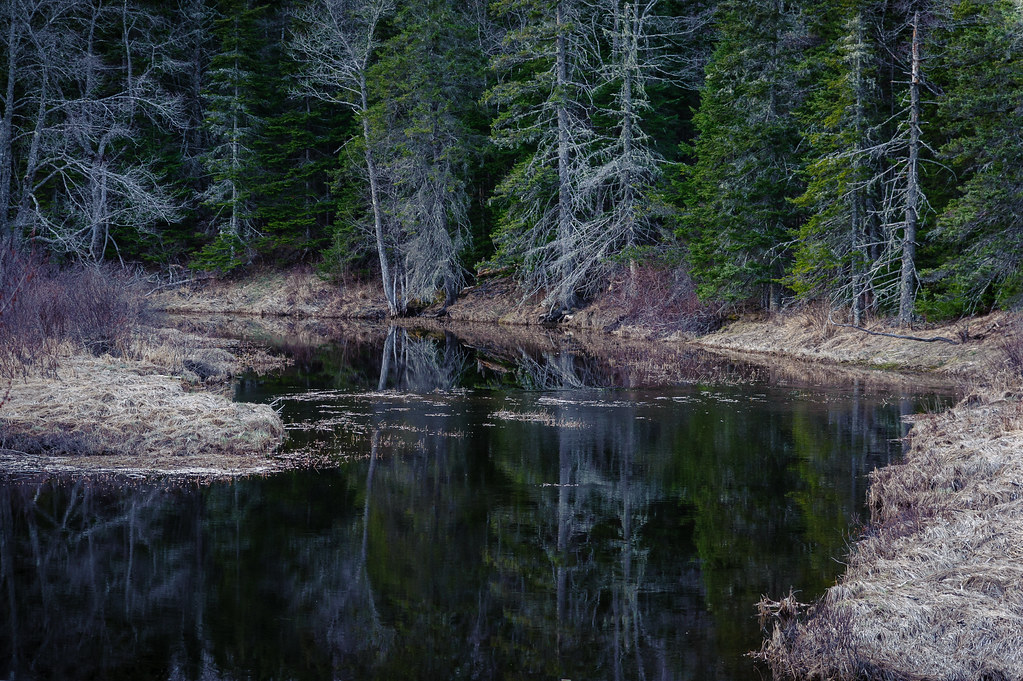
Tunk Stream reflections
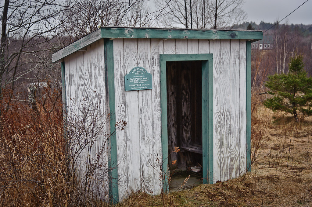
Unionville Bus Shelter

Tunk Stream tributary
Marsh Cove sunrise
Todd and Kathy's shoreline
美国缅因州切里菲尔德的地图
查询其他地方的日出日落时间
附近地点
Unionville Rd, Steuben, ME 美国
Kennedy Hwy, Harrington, ME 美国
Milbridge, ME, 美国
Wyman Rd, Milbridge, ME 美国Milbridge United Methodist Church
Oak Point Rd, Harrington, ME 美国
East Side Rd, Steuben, ME 美国East Side Road
美国缅因州斯托本
Putnam Dr, Harrington, ME 美国
Putnam Dr, Harrington, ME 美国
美国缅因州哈灵顿
60 Tom Leighton Point Rd, Milbridge, ME 美国
Sunset Bay Dr, Steuben, ME 美国Sunset Bay Drive
Marshville Rd, Harrington, ME 美国
S Estates Rd, Steuben, ME 美国South Estates Road
Deblois, ME 美国
31 Grange Rd, Gouldsboro, ME 美国
美国缅因州古尔兹伯勒
Bay Point Ln, Gouldsboro, ME 美国Bay Point Lane
美国缅因州艾迪生
East Side Rd, Addison, ME 美国East Side Road
最近搜索
- Rojo Ct, Atascadero, CA, USA的日出日落时间表
- Lumagwas, Adtuyon, RV32+MH7, Pangantucan, Bukidnon, 菲律宾Lumagwas Diversified Farmers Multi-Purpose Co的日出日落时间表
- 12 Hutchinson Woods Dr, Fletcher, NC 美国的日出日落时间表
- 秘鲁圣玛丽亚德马尔区的日出日落时间表
- Holloway Ave, San Francisco, CA 美国的日出日落时间表
- 1-chōme-1-5 Asahi, Utsunomiya, Tochigi -, Japan的日出日落时间表
- Bist Hazari, 阿富汗的日出日落时间表
- 82- D Rd, Captain Cook, HI 美国的日出日落时间表
- 英国哈洛CM20 2PR的日出日落时间表
- Yadozaki Tairausuiso, Iwaki, Fukushima -日本的日出日落时间表