Charleston Ct, Volcano, CA 美国的日出日落时间表
Location: 美国 > 加利福尼亚州 > 阿马多尔县 > 美国加利福尼亚州沃尔卡诺 >
时区:
America/Los_Angeles
当地时间:
2024-04-23 16:52:25
经度:
-120.638676
纬度:
38.461537
今天日出时间:
06:12:44 AM
今天日落时间:
07:48:18 PM
今天日照时常:
13h 35m 34s
明天日出时间:
06:11:27 AM
明天日落时间:
07:49:15 PM
明天日照时常:
13h 37m 48s
显示所有日期
| 日期 | 日出 | 日落 | 日照时常 |
|---|---|---|---|
| 2024年01月01日 | 07:19:54 AM | 04:52:57 PM | 9h 33m 3s |
| 2024年01月02日 | 07:20:00 AM | 04:53:47 PM | 9h 33m 47s |
| 2024年01月03日 | 07:20:04 AM | 04:54:38 PM | 9h 34m 34s |
| 2024年01月04日 | 07:20:06 AM | 04:55:30 PM | 9h 35m 24s |
| 2024年01月05日 | 07:20:05 AM | 04:56:24 PM | 9h 36m 19s |
| 2024年01月06日 | 07:20:03 AM | 04:57:19 PM | 9h 37m 16s |
| 2024年01月07日 | 07:19:58 AM | 04:58:15 PM | 9h 38m 17s |
| 2024年01月08日 | 07:19:51 AM | 04:59:12 PM | 9h 39m 21s |
| 2024年01月09日 | 07:19:43 AM | 05:00:10 PM | 9h 40m 27s |
| 2024年01月10日 | 07:19:32 AM | 05:01:09 PM | 9h 41m 37s |
| 2024年01月11日 | 07:19:18 AM | 05:02:09 PM | 9h 42m 51s |
| 2024年01月12日 | 07:19:03 AM | 05:03:10 PM | 9h 44m 7s |
| 2024年01月13日 | 07:18:46 AM | 05:04:11 PM | 9h 45m 25s |
| 2024年01月14日 | 07:18:27 AM | 05:05:14 PM | 9h 46m 47s |
| 2024年01月15日 | 07:18:05 AM | 05:06:17 PM | 9h 48m 12s |
| 2024年01月16日 | 07:17:42 AM | 05:07:21 PM | 9h 49m 39s |
| 2024年01月17日 | 07:17:16 AM | 05:08:25 PM | 9h 51m 9s |
| 2024年01月18日 | 07:16:49 AM | 05:09:30 PM | 9h 52m 41s |
| 2024年01月19日 | 07:16:19 AM | 05:10:36 PM | 9h 54m 17s |
| 2024年01月20日 | 07:15:48 AM | 05:11:42 PM | 9h 55m 54s |
| 2024年01月21日 | 07:15:15 AM | 05:12:48 PM | 9h 57m 33s |
| 2024年01月22日 | 07:14:39 AM | 05:13:55 PM | 9h 59m 16s |
| 2024年01月23日 | 07:14:02 AM | 05:15:03 PM | 10h 1m 1s |
| 2024年01月24日 | 07:13:23 AM | 05:16:10 PM | 10h 2m 47s |
| 2024年01月25日 | 07:12:42 AM | 05:17:18 PM | 10h 4m 36s |
| 2024年01月26日 | 07:11:59 AM | 05:18:26 PM | 10h 6m 27s |
| 2024年01月27日 | 07:11:15 AM | 05:19:34 PM | 10h 8m 19s |
| 2024年01月28日 | 07:10:28 AM | 05:20:42 PM | 10h 10m 14s |
| 2024年01月29日 | 07:09:40 AM | 05:21:51 PM | 10h 12m 11s |
| 2024年01月30日 | 07:08:50 AM | 05:22:59 PM | 10h 14m 9s |
| 2024年01月31日 | 07:07:59 AM | 05:24:08 PM | 10h 16m 9s |
| 2024年02月01日 | 07:07:06 AM | 05:25:17 PM | 10h 18m 11s |
| 2024年02月02日 | 07:06:11 AM | 05:26:25 PM | 10h 20m 14s |
| 2024年02月03日 | 07:05:15 AM | 05:27:34 PM | 10h 22m 19s |
| 2024年02月04日 | 07:04:17 AM | 05:28:42 PM | 10h 24m 25s |
| 2024年02月05日 | 07:03:18 AM | 05:29:51 PM | 10h 26m 33s |
| 2024年02月06日 | 07:02:17 AM | 05:30:59 PM | 10h 28m 42s |
| 2024年02月07日 | 07:01:15 AM | 05:32:07 PM | 10h 30m 52s |
| 2024年02月08日 | 07:00:11 AM | 05:33:15 PM | 10h 33m 4s |
| 2024年02月09日 | 06:59:06 AM | 05:34:23 PM | 10h 35m 17s |
| 2024年02月10日 | 06:57:59 AM | 05:35:30 PM | 10h 37m 31s |
| 2024年02月11日 | 06:56:52 AM | 05:36:37 PM | 10h 39m 45s |
| 2024年02月12日 | 06:55:43 AM | 05:37:45 PM | 10h 42m 2s |
| 2024年02月13日 | 06:54:32 AM | 05:38:51 PM | 10h 44m 19s |
| 2024年02月14日 | 06:53:21 AM | 05:39:58 PM | 10h 46m 37s |
| 2024年02月15日 | 06:52:08 AM | 05:41:04 PM | 10h 48m 56s |
| 2024年02月16日 | 06:50:54 AM | 05:42:10 PM | 10h 51m 16s |
| 2024年02月17日 | 06:49:39 AM | 05:43:16 PM | 10h 53m 37s |
| 2024年02月18日 | 06:48:23 AM | 05:44:22 PM | 10h 55m 59s |
| 2024年02月19日 | 06:47:06 AM | 05:45:27 PM | 10h 58m 21s |
| 2024年02月20日 | 06:45:48 AM | 05:46:32 PM | 11h 0m 44s |
| 2024年02月21日 | 06:44:29 AM | 05:47:36 PM | 11h 3m 7s |
| 2024年02月22日 | 06:43:09 AM | 05:48:40 PM | 11h 5m 31s |
| 2024年02月23日 | 06:41:48 AM | 05:49:44 PM | 11h 7m 56s |
| 2024年02月24日 | 06:40:27 AM | 05:50:48 PM | 11h 10m 21s |
| 2024年02月25日 | 06:39:04 AM | 05:51:51 PM | 11h 12m 47s |
| 2024年02月26日 | 06:37:41 AM | 05:52:54 PM | 11h 15m 13s |
| 2024年02月27日 | 06:36:16 AM | 05:53:57 PM | 11h 17m 41s |
| 2024年02月28日 | 06:34:51 AM | 05:54:59 PM | 11h 20m 8s |
| 2024年02月29日 | 06:33:26 AM | 05:56:01 PM | 11h 22m 35s |
| 2024年03月01日 | 06:32:00 AM | 05:57:03 PM | 11h 25m 3s |
| 2024年03月02日 | 06:30:33 AM | 05:58:05 PM | 11h 27m 32s |
| 2024年03月03日 | 06:29:05 AM | 05:59:06 PM | 11h 30m 1s |
| 2024年03月04日 | 06:27:37 AM | 06:00:07 PM | 11h 32m 30s |
| 2024年03月05日 | 06:26:08 AM | 06:01:07 PM | 11h 34m 59s |
| 2024年03月06日 | 06:24:39 AM | 06:02:07 PM | 11h 37m 28s |
| 2024年03月07日 | 06:23:09 AM | 06:03:07 PM | 11h 39m 58s |
| 2024年03月08日 | 06:21:39 AM | 06:04:07 PM | 11h 42m 28s |
| 2024年03月09日 | 06:20:09 AM | 06:05:07 PM | 11h 44m 58s |
| 2024年03月10日 | 07:18:41 AM | 07:06:04 PM | 11h 47m 23s |
| 2024年03月11日 | 07:17:10 AM | 07:07:03 PM | 11h 49m 53s |
| 2024年03月12日 | 07:15:38 AM | 07:08:02 PM | 11h 52m 24s |
| 2024年03月13日 | 07:14:07 AM | 07:09:00 PM | 11h 54m 53s |
| 2024年03月14日 | 07:12:34 AM | 07:09:59 PM | 11h 57m 25s |
| 2024年03月15日 | 07:11:02 AM | 07:10:57 PM | 11h 59m 55s |
| 2024年03月16日 | 07:09:29 AM | 07:11:55 PM | 12h 2m 26s |
| 2024年03月17日 | 07:07:56 AM | 07:12:53 PM | 12h 4m 57s |
| 2024年03月18日 | 07:06:24 AM | 07:13:51 PM | 12h 7m 27s |
| 2024年03月19日 | 07:04:50 AM | 07:14:48 PM | 12h 9m 58s |
| 2024年03月20日 | 07:03:17 AM | 07:15:46 PM | 12h 12m 29s |
| 2024年03月21日 | 07:01:44 AM | 07:16:43 PM | 12h 14m 59s |
| 2024年03月22日 | 07:00:11 AM | 07:17:40 PM | 12h 17m 29s |
| 2024年03月23日 | 06:58:38 AM | 07:18:37 PM | 12h 19m 59s |
| 2024年03月24日 | 06:57:04 AM | 07:19:34 PM | 12h 22m 30s |
| 2024年03月25日 | 06:55:31 AM | 07:20:31 PM | 12h 25m 0s |
| 2024年03月26日 | 06:53:58 AM | 07:21:28 PM | 12h 27m 30s |
| 2024年03月27日 | 06:52:25 AM | 07:22:25 PM | 12h 30m 0s |
| 2024年03月28日 | 06:50:52 AM | 07:23:22 PM | 12h 32m 30s |
| 2024年03月29日 | 06:49:20 AM | 07:24:18 PM | 12h 34m 58s |
| 2024年03月30日 | 06:47:48 AM | 07:25:15 PM | 12h 37m 27s |
| 2024年03月31日 | 06:46:15 AM | 07:26:11 PM | 12h 39m 56s |
| 2024年04月01日 | 06:44:44 AM | 07:27:08 PM | 12h 42m 24s |
| 2024年04月02日 | 06:43:12 AM | 07:28:05 PM | 12h 44m 53s |
| 2024年04月03日 | 06:41:41 AM | 07:29:01 PM | 12h 47m 20s |
| 2024年04月04日 | 06:40:10 AM | 07:29:58 PM | 12h 49m 48s |
| 2024年04月05日 | 06:38:40 AM | 07:30:54 PM | 12h 52m 14s |
| 2024年04月06日 | 06:37:09 AM | 07:31:51 PM | 12h 54m 42s |
| 2024年04月07日 | 06:35:40 AM | 07:32:47 PM | 12h 57m 7s |
| 2024年04月08日 | 06:34:11 AM | 07:33:44 PM | 12h 59m 33s |
| 2024年04月09日 | 06:32:42 AM | 07:34:40 PM | 13h 1m 58s |
| 2024年04月10日 | 06:31:14 AM | 07:35:37 PM | 13h 4m 23s |
| 2024年04月11日 | 06:29:47 AM | 07:36:34 PM | 13h 6m 47s |
| 2024年04月12日 | 06:28:20 AM | 07:37:31 PM | 13h 9m 11s |
| 2024年04月13日 | 06:26:54 AM | 07:38:27 PM | 13h 11m 33s |
| 2024年04月14日 | 06:25:28 AM | 07:39:24 PM | 13h 13m 56s |
| 2024年04月15日 | 06:24:03 AM | 07:40:21 PM | 13h 16m 18s |
| 2024年04月16日 | 06:22:39 AM | 07:41:18 PM | 13h 18m 39s |
| 2024年04月17日 | 06:21:16 AM | 07:42:15 PM | 13h 20m 59s |
| 2024年04月18日 | 06:19:53 AM | 07:43:12 PM | 13h 23m 19s |
| 2024年04月19日 | 06:18:31 AM | 07:44:09 PM | 13h 25m 38s |
| 2024年04月20日 | 06:17:11 AM | 07:45:05 PM | 13h 27m 54s |
| 2024年04月21日 | 06:15:51 AM | 07:46:02 PM | 13h 30m 11s |
| 2024年04月22日 | 06:14:31 AM | 07:46:59 PM | 13h 32m 28s |
| 2024年04月23日 | 06:13:13 AM | 07:47:56 PM | 13h 34m 43s |
| 2024年04月24日 | 06:11:56 AM | 07:48:53 PM | 13h 36m 57s |
| 2024年04月25日 | 06:10:40 AM | 07:49:50 PM | 13h 39m 10s |
| 2024年04月26日 | 06:09:25 AM | 07:50:47 PM | 13h 41m 22s |
| 2024年04月27日 | 06:08:11 AM | 07:51:44 PM | 13h 43m 33s |
| 2024年04月28日 | 06:06:57 AM | 07:52:41 PM | 13h 45m 44s |
| 2024年04月29日 | 06:05:46 AM | 07:53:38 PM | 13h 47m 52s |
| 2024年04月30日 | 06:04:35 AM | 07:54:35 PM | 13h 50m 0s |
| 2024年05月01日 | 06:03:25 AM | 07:55:31 PM | 13h 52m 6s |
| 2024年05月02日 | 06:02:17 AM | 07:56:28 PM | 13h 54m 11s |
| 2024年05月03日 | 06:01:10 AM | 07:57:24 PM | 13h 56m 14s |
| 2024年05月04日 | 06:00:04 AM | 07:58:20 PM | 13h 58m 16s |
| 2024年05月05日 | 05:58:59 AM | 07:59:16 PM | 14h 0m 17s |
| 2024年05月06日 | 05:57:56 AM | 08:00:12 PM | 14h 2m 16s |
| 2024年05月07日 | 05:56:54 AM | 08:01:08 PM | 14h 4m 14s |
| 2024年05月08日 | 05:55:54 AM | 08:02:03 PM | 14h 6m 9s |
| 2024年05月09日 | 05:54:55 AM | 08:02:58 PM | 14h 8m 3s |
| 2024年05月10日 | 05:53:57 AM | 08:03:53 PM | 14h 9m 56s |
| 2024年05月11日 | 05:53:01 AM | 08:04:48 PM | 14h 11m 47s |
| 2024年05月12日 | 05:52:06 AM | 08:05:42 PM | 14h 13m 36s |
| 2024年05月13日 | 05:51:13 AM | 08:06:36 PM | 14h 15m 23s |
| 2024年05月14日 | 05:50:21 AM | 08:07:29 PM | 14h 17m 8s |
| 2024年05月15日 | 05:49:31 AM | 08:08:22 PM | 14h 18m 51s |
| 2024年05月16日 | 05:48:43 AM | 08:09:15 PM | 14h 20m 32s |
| 2024年05月17日 | 05:47:56 AM | 08:10:07 PM | 14h 22m 11s |
| 2024年05月18日 | 05:47:11 AM | 08:10:58 PM | 14h 23m 47s |
| 2024年05月19日 | 05:46:27 AM | 08:11:49 PM | 14h 25m 22s |
| 2024年05月20日 | 05:45:45 AM | 08:12:39 PM | 14h 26m 54s |
| 2024年05月21日 | 05:45:05 AM | 08:13:29 PM | 14h 28m 24s |
| 2024年05月22日 | 05:44:26 AM | 08:14:18 PM | 14h 29m 52s |
| 2024年05月23日 | 05:43:50 AM | 08:15:06 PM | 14h 31m 16s |
| 2024年05月24日 | 05:43:15 AM | 08:15:53 PM | 14h 32m 38s |
| 2024年05月25日 | 05:42:41 AM | 08:16:40 PM | 14h 33m 59s |
| 2024年05月26日 | 05:42:10 AM | 08:17:26 PM | 14h 35m 16s |
| 2024年05月27日 | 05:41:40 AM | 08:18:11 PM | 14h 36m 31s |
| 2024年05月28日 | 05:41:12 AM | 08:18:55 PM | 14h 37m 43s |
| 2024年05月29日 | 05:40:46 AM | 08:19:38 PM | 14h 38m 52s |
| 2024年05月30日 | 05:40:22 AM | 08:20:20 PM | 14h 39m 58s |
| 2024年05月31日 | 05:40:00 AM | 08:21:01 PM | 14h 41m 1s |
| 2024年06月01日 | 05:39:39 AM | 08:21:41 PM | 14h 42m 2s |
| 2024年06月02日 | 05:39:20 AM | 08:22:20 PM | 14h 43m 0s |
| 2024年06月03日 | 05:39:03 AM | 08:22:57 PM | 14h 43m 54s |
| 2024年06月04日 | 05:38:48 AM | 08:23:34 PM | 14h 44m 46s |
| 2024年06月05日 | 05:38:35 AM | 08:24:09 PM | 14h 45m 34s |
| 2024年06月06日 | 05:38:24 AM | 08:24:43 PM | 14h 46m 19s |
| 2024年06月07日 | 05:38:14 AM | 08:25:16 PM | 14h 47m 2s |
| 2024年06月08日 | 05:38:07 AM | 08:25:47 PM | 14h 47m 40s |
| 2024年06月09日 | 05:38:01 AM | 08:26:17 PM | 14h 48m 16s |
| 2024年06月10日 | 05:37:57 AM | 08:26:46 PM | 14h 48m 49s |
| 2024年06月11日 | 05:37:55 AM | 08:27:13 PM | 14h 49m 18s |
| 2024年06月12日 | 05:37:54 AM | 08:27:38 PM | 14h 49m 44s |
| 2024年06月13日 | 05:37:56 AM | 08:28:02 PM | 14h 50m 6s |
| 2024年06月14日 | 05:37:59 AM | 08:28:25 PM | 14h 50m 26s |
| 2024年06月15日 | 05:38:04 AM | 08:28:46 PM | 14h 50m 42s |
| 2024年06月16日 | 05:38:11 AM | 08:29:05 PM | 14h 50m 54s |
| 2024年06月17日 | 05:38:19 AM | 08:29:23 PM | 14h 51m 4s |
| 2024年06月18日 | 05:38:29 AM | 08:29:39 PM | 14h 51m 10s |
| 2024年06月19日 | 05:38:41 AM | 08:29:53 PM | 14h 51m 12s |
| 2024年06月20日 | 05:38:55 AM | 08:30:06 PM | 14h 51m 11s |
| 2024年06月21日 | 05:39:10 AM | 08:30:17 PM | 14h 51m 7s |
| 2024年06月22日 | 05:39:27 AM | 08:30:26 PM | 14h 50m 59s |
| 2024年06月23日 | 05:39:45 AM | 08:30:33 PM | 14h 50m 48s |
| 2024年06月24日 | 05:40:05 AM | 08:30:39 PM | 14h 50m 34s |
| 2024年06月25日 | 05:40:26 AM | 08:30:42 PM | 14h 50m 16s |
| 2024年06月26日 | 05:40:49 AM | 08:30:44 PM | 14h 49m 55s |
| 2024年06月27日 | 05:41:14 AM | 08:30:44 PM | 14h 49m 30s |
| 2024年06月28日 | 05:41:39 AM | 08:30:42 PM | 14h 49m 3s |
| 2024年06月29日 | 05:42:07 AM | 08:30:39 PM | 14h 48m 32s |
| 2024年06月30日 | 05:42:35 AM | 08:30:33 PM | 14h 47m 58s |
| 2024年07月01日 | 05:43:05 AM | 08:30:26 PM | 14h 47m 21s |
| 2024年07月02日 | 05:43:36 AM | 08:30:16 PM | 14h 46m 40s |
| 2024年07月03日 | 05:44:09 AM | 08:30:05 PM | 14h 45m 56s |
| 2024年07月04日 | 05:44:42 AM | 08:29:52 PM | 14h 45m 10s |
| 2024年07月05日 | 05:45:17 AM | 08:29:37 PM | 14h 44m 20s |
| 2024年07月06日 | 05:45:53 AM | 08:29:20 PM | 14h 43m 27s |
| 2024年07月07日 | 05:46:30 AM | 08:29:01 PM | 14h 42m 31s |
| 2024年07月08日 | 05:47:08 AM | 08:28:41 PM | 14h 41m 33s |
| 2024年07月09日 | 05:47:47 AM | 08:28:18 PM | 14h 40m 31s |
| 2024年07月10日 | 05:48:28 AM | 08:27:54 PM | 14h 39m 26s |
| 2024年07月11日 | 05:49:09 AM | 08:27:27 PM | 14h 38m 18s |
| 2024年07月12日 | 05:49:51 AM | 08:26:59 PM | 14h 37m 8s |
| 2024年07月13日 | 05:50:33 AM | 08:26:29 PM | 14h 35m 56s |
| 2024年07月14日 | 05:51:17 AM | 08:25:58 PM | 14h 34m 41s |
| 2024年07月15日 | 05:52:01 AM | 08:25:24 PM | 14h 33m 23s |
| 2024年07月16日 | 05:52:47 AM | 08:24:49 PM | 14h 32m 2s |
| 2024年07月17日 | 05:53:32 AM | 08:24:11 PM | 14h 30m 39s |
| 2024年07月18日 | 05:54:19 AM | 08:23:32 PM | 14h 29m 13s |
| 2024年07月19日 | 05:55:06 AM | 08:22:52 PM | 14h 27m 46s |
| 2024年07月20日 | 05:55:54 AM | 08:22:09 PM | 14h 26m 15s |
| 2024年07月21日 | 05:56:42 AM | 08:21:25 PM | 14h 24m 43s |
| 2024年07月22日 | 05:57:31 AM | 08:20:39 PM | 14h 23m 8s |
| 2024年07月23日 | 05:58:20 AM | 08:19:52 PM | 14h 21m 32s |
| 2024年07月24日 | 05:59:10 AM | 08:19:03 PM | 14h 19m 53s |
| 2024年07月25日 | 06:00:00 AM | 08:18:12 PM | 14h 18m 12s |
| 2024年07月26日 | 06:00:51 AM | 08:17:20 PM | 14h 16m 29s |
| 2024年07月27日 | 06:01:42 AM | 08:16:26 PM | 14h 14m 44s |
| 2024年07月28日 | 06:02:33 AM | 08:15:31 PM | 14h 12m 58s |
| 2024年07月29日 | 06:03:24 AM | 08:14:34 PM | 14h 11m 10s |
| 2024年07月30日 | 06:04:16 AM | 08:13:35 PM | 14h 9m 19s |
| 2024年07月31日 | 06:05:08 AM | 08:12:35 PM | 14h 7m 27s |
| 2024年08月01日 | 06:06:01 AM | 08:11:34 PM | 14h 5m 33s |
| 2024年08月02日 | 06:06:53 AM | 08:10:31 PM | 14h 3m 38s |
| 2024年08月03日 | 06:07:46 AM | 08:09:27 PM | 14h 1m 41s |
| 2024年08月04日 | 06:08:38 AM | 08:08:22 PM | 13h 59m 44s |
| 2024年08月05日 | 06:09:31 AM | 08:07:15 PM | 13h 57m 44s |
| 2024年08月06日 | 06:10:24 AM | 08:06:07 PM | 13h 55m 43s |
| 2024年08月07日 | 06:11:18 AM | 08:04:58 PM | 13h 53m 40s |
| 2024年08月08日 | 06:12:11 AM | 08:03:47 PM | 13h 51m 36s |
| 2024年08月09日 | 06:13:04 AM | 08:02:35 PM | 13h 49m 31s |
| 2024年08月10日 | 06:13:57 AM | 08:01:23 PM | 13h 47m 26s |
| 2024年08月11日 | 06:14:51 AM | 08:00:08 PM | 13h 45m 17s |
| 2024年08月12日 | 06:15:44 AM | 07:58:53 PM | 13h 43m 9s |
| 2024年08月13日 | 06:16:37 AM | 07:57:37 PM | 13h 41m 0s |
| 2024年08月14日 | 06:17:31 AM | 07:56:20 PM | 13h 38m 49s |
| 2024年08月15日 | 06:18:24 AM | 07:55:01 PM | 13h 36m 37s |
| 2024年08月16日 | 06:19:17 AM | 07:53:42 PM | 13h 34m 25s |
| 2024年08月17日 | 06:20:11 AM | 07:52:22 PM | 13h 32m 11s |
| 2024年08月18日 | 06:21:04 AM | 07:51:00 PM | 13h 29m 56s |
| 2024年08月19日 | 06:21:57 AM | 07:49:38 PM | 13h 27m 41s |
| 2024年08月20日 | 06:22:50 AM | 07:48:15 PM | 13h 25m 25s |
| 2024年08月21日 | 06:23:43 AM | 07:46:51 PM | 13h 23m 8s |
| 2024年08月22日 | 06:24:36 AM | 07:45:26 PM | 13h 20m 50s |
| 2024年08月23日 | 06:25:29 AM | 07:44:01 PM | 13h 18m 32s |
| 2024年08月24日 | 06:26:22 AM | 07:42:35 PM | 13h 16m 13s |
| 2024年08月25日 | 06:27:15 AM | 07:41:08 PM | 13h 13m 53s |
| 2024年08月26日 | 06:28:07 AM | 07:39:40 PM | 13h 11m 33s |
| 2024年08月27日 | 06:29:00 AM | 07:38:12 PM | 13h 9m 12s |
| 2024年08月28日 | 06:29:53 AM | 07:36:43 PM | 13h 6m 50s |
| 2024年08月29日 | 06:30:45 AM | 07:35:13 PM | 13h 4m 28s |
| 2024年08月30日 | 06:31:38 AM | 07:33:43 PM | 13h 2m 5s |
| 2024年08月31日 | 06:32:30 AM | 07:32:12 PM | 12h 59m 42s |
| 2024年09月01日 | 06:33:22 AM | 07:30:41 PM | 12h 57m 19s |
| 2024年09月02日 | 06:34:15 AM | 07:29:10 PM | 12h 54m 55s |
| 2024年09月03日 | 06:35:07 AM | 07:27:38 PM | 12h 52m 31s |
| 2024年09月04日 | 06:35:59 AM | 07:26:05 PM | 12h 50m 6s |
| 2024年09月05日 | 06:36:51 AM | 07:24:32 PM | 12h 47m 41s |
| 2024年09月06日 | 06:37:43 AM | 07:22:59 PM | 12h 45m 16s |
| 2024年09月07日 | 06:38:36 AM | 07:21:25 PM | 12h 42m 49s |
| 2024年09月08日 | 06:39:28 AM | 07:19:51 PM | 12h 40m 23s |
| 2024年09月09日 | 06:40:20 AM | 07:18:17 PM | 12h 37m 57s |
| 2024年09月10日 | 06:41:12 AM | 07:16:42 PM | 12h 35m 30s |
| 2024年09月11日 | 06:42:04 AM | 07:15:08 PM | 12h 33m 4s |
| 2024年09月12日 | 06:42:57 AM | 07:13:33 PM | 12h 30m 36s |
| 2024年09月13日 | 06:43:49 AM | 07:11:58 PM | 12h 28m 9s |
| 2024年09月14日 | 06:44:41 AM | 07:10:22 PM | 12h 25m 41s |
| 2024年09月15日 | 06:45:34 AM | 07:08:47 PM | 12h 23m 13s |
| 2024年09月16日 | 06:46:26 AM | 07:07:12 PM | 12h 20m 46s |
| 2024年09月17日 | 06:47:19 AM | 07:05:36 PM | 12h 18m 17s |
| 2024年09月18日 | 06:48:11 AM | 07:04:01 PM | 12h 15m 50s |
| 2024年09月19日 | 06:49:04 AM | 07:02:25 PM | 12h 13m 21s |
| 2024年09月20日 | 06:49:57 AM | 07:00:50 PM | 12h 10m 53s |
| 2024年09月21日 | 06:50:50 AM | 06:59:15 PM | 12h 8m 25s |
| 2024年09月22日 | 06:51:43 AM | 06:57:40 PM | 12h 5m 57s |
| 2024年09月23日 | 06:52:37 AM | 06:56:04 PM | 12h 3m 27s |
| 2024年09月24日 | 06:53:30 AM | 06:54:30 PM | 12h 1m 0s |
| 2024年09月25日 | 06:54:24 AM | 06:52:55 PM | 11h 58m 31s |
| 2024年09月26日 | 06:55:18 AM | 06:51:20 PM | 11h 56m 2s |
| 2024年09月27日 | 06:56:12 AM | 06:49:46 PM | 11h 53m 34s |
| 2024年09月28日 | 06:57:06 AM | 06:48:12 PM | 11h 51m 6s |
| 2024年09月29日 | 06:58:00 AM | 06:46:38 PM | 11h 48m 38s |
| 2024年09月30日 | 06:58:55 AM | 06:45:05 PM | 11h 46m 10s |
| 2024年10月01日 | 06:59:50 AM | 06:43:32 PM | 11h 43m 42s |
| 2024年10月02日 | 07:00:45 AM | 06:42:00 PM | 11h 41m 15s |
| 2024年10月03日 | 07:01:41 AM | 06:40:27 PM | 11h 38m 46s |
| 2024年10月04日 | 07:02:37 AM | 06:38:56 PM | 11h 36m 19s |
| 2024年10月05日 | 07:03:33 AM | 06:37:25 PM | 11h 33m 52s |
| 2024年10月06日 | 07:04:29 AM | 06:35:54 PM | 11h 31m 25s |
| 2024年10月07日 | 07:05:25 AM | 06:34:24 PM | 11h 28m 59s |
| 2024年10月08日 | 07:06:22 AM | 06:32:54 PM | 11h 26m 32s |
| 2024年10月09日 | 07:07:20 AM | 06:31:25 PM | 11h 24m 5s |
| 2024年10月10日 | 07:08:17 AM | 06:29:57 PM | 11h 21m 40s |
| 2024年10月11日 | 07:09:15 AM | 06:28:30 PM | 11h 19m 15s |
| 2024年10月12日 | 07:10:13 AM | 06:27:03 PM | 11h 16m 50s |
| 2024年10月13日 | 07:11:12 AM | 06:25:37 PM | 11h 14m 25s |
| 2024年10月14日 | 07:12:11 AM | 06:24:11 PM | 11h 12m 0s |
| 2024年10月15日 | 07:13:10 AM | 06:22:47 PM | 11h 9m 37s |
| 2024年10月16日 | 07:14:09 AM | 06:21:23 PM | 11h 7m 14s |
| 2024年10月17日 | 07:15:09 AM | 06:20:01 PM | 11h 4m 52s |
| 2024年10月18日 | 07:16:09 AM | 06:18:39 PM | 11h 2m 30s |
| 2024年10月19日 | 07:17:10 AM | 06:17:18 PM | 11h 0m 8s |
| 2024年10月20日 | 07:18:11 AM | 06:15:58 PM | 10h 57m 47s |
| 2024年10月21日 | 07:19:12 AM | 06:14:39 PM | 10h 55m 27s |
| 2024年10月22日 | 07:20:14 AM | 06:13:21 PM | 10h 53m 7s |
| 2024年10月23日 | 07:21:15 AM | 06:12:04 PM | 10h 50m 49s |
| 2024年10月24日 | 07:22:18 AM | 06:10:48 PM | 10h 48m 30s |
| 2024年10月25日 | 07:23:20 AM | 06:09:34 PM | 10h 46m 14s |
| 2024年10月26日 | 07:24:23 AM | 06:08:20 PM | 10h 43m 57s |
| 2024年10月27日 | 07:25:26 AM | 06:07:08 PM | 10h 41m 42s |
| 2024年10月28日 | 07:26:30 AM | 06:05:57 PM | 10h 39m 27s |
| 2024年10月29日 | 07:27:33 AM | 06:04:48 PM | 10h 37m 15s |
| 2024年10月30日 | 07:28:37 AM | 06:03:39 PM | 10h 35m 2s |
| 2024年10月31日 | 07:29:41 AM | 06:02:32 PM | 10h 32m 51s |
| 2024年11月01日 | 07:30:46 AM | 06:01:27 PM | 10h 30m 41s |
| 2024年11月02日 | 07:31:50 AM | 06:00:23 PM | 10h 28m 33s |
| 2024年11月03日 | 06:32:58 AM | 04:59:17 PM | 10h 26m 19s |
| 2024年11月04日 | 06:34:03 AM | 04:58:16 PM | 10h 24m 13s |
| 2024年11月05日 | 06:35:08 AM | 04:57:17 PM | 10h 22m 9s |
| 2024年11月06日 | 06:36:13 AM | 04:56:18 PM | 10h 20m 5s |
| 2024年11月07日 | 06:37:19 AM | 04:55:22 PM | 10h 18m 3s |
| 2024年11月08日 | 06:38:24 AM | 04:54:27 PM | 10h 16m 3s |
| 2024年11月09日 | 06:39:30 AM | 04:53:34 PM | 10h 14m 4s |
| 2024年11月10日 | 06:40:35 AM | 04:52:42 PM | 10h 12m 7s |
| 2024年11月11日 | 06:41:41 AM | 04:51:52 PM | 10h 10m 11s |
| 2024年11月12日 | 06:42:46 AM | 04:51:04 PM | 10h 8m 18s |
| 2024年11月13日 | 06:43:51 AM | 04:50:18 PM | 10h 6m 27s |
| 2024年11月14日 | 06:44:57 AM | 04:49:33 PM | 10h 4m 36s |
| 2024年11月15日 | 06:46:02 AM | 04:48:51 PM | 10h 2m 49s |
| 2024年11月16日 | 06:47:07 AM | 04:48:10 PM | 10h 1m 3s |
| 2024年11月17日 | 06:48:11 AM | 04:47:31 PM | 9h 59m 20s |
| 2024年11月18日 | 06:49:16 AM | 04:46:54 PM | 9h 57m 38s |
| 2024年11月19日 | 06:50:20 AM | 04:46:19 PM | 9h 55m 59s |
| 2024年11月20日 | 06:51:24 AM | 04:45:46 PM | 9h 54m 22s |
| 2024年11月21日 | 06:52:27 AM | 04:45:14 PM | 9h 52m 47s |
| 2024年11月22日 | 06:53:30 AM | 04:44:45 PM | 9h 51m 15s |
| 2024年11月23日 | 06:54:32 AM | 04:44:18 PM | 9h 49m 46s |
| 2024年11月24日 | 06:55:34 AM | 04:43:53 PM | 9h 48m 19s |
| 2024年11月25日 | 06:56:35 AM | 04:43:30 PM | 9h 46m 55s |
| 2024年11月26日 | 06:57:36 AM | 04:43:09 PM | 9h 45m 33s |
| 2024年11月27日 | 06:58:36 AM | 04:42:50 PM | 9h 44m 14s |
| 2024年11月28日 | 06:59:35 AM | 04:42:34 PM | 9h 42m 59s |
| 2024年11月29日 | 07:00:34 AM | 04:42:19 PM | 9h 41m 45s |
| 2024年11月30日 | 07:01:31 AM | 04:42:07 PM | 9h 40m 36s |
| 2024年12月01日 | 07:02:28 AM | 04:41:56 PM | 9h 39m 28s |
| 2024年12月02日 | 07:03:24 AM | 04:41:48 PM | 9h 38m 24s |
| 2024年12月03日 | 07:04:18 AM | 04:41:42 PM | 9h 37m 24s |
| 2024年12月04日 | 07:05:12 AM | 04:41:38 PM | 9h 36m 26s |
| 2024年12月05日 | 07:06:05 AM | 04:41:37 PM | 9h 35m 32s |
| 2024年12月06日 | 07:06:56 AM | 04:41:37 PM | 9h 34m 41s |
| 2024年12月07日 | 07:07:46 AM | 04:41:40 PM | 9h 33m 54s |
| 2024年12月08日 | 07:08:35 AM | 04:41:45 PM | 9h 33m 10s |
| 2024年12月09日 | 07:09:23 AM | 04:41:52 PM | 9h 32m 29s |
| 2024年12月10日 | 07:10:09 AM | 04:42:01 PM | 9h 31m 52s |
| 2024年12月11日 | 07:10:54 AM | 04:42:12 PM | 9h 31m 18s |
| 2024年12月12日 | 07:11:38 AM | 04:42:25 PM | 9h 30m 47s |
| 2024年12月13日 | 07:12:20 AM | 04:42:41 PM | 9h 30m 21s |
| 2024年12月14日 | 07:13:00 AM | 04:42:58 PM | 9h 29m 58s |
| 2024年12月15日 | 07:13:39 AM | 04:43:18 PM | 9h 29m 39s |
| 2024年12月16日 | 07:14:16 AM | 04:43:39 PM | 9h 29m 23s |
| 2024年12月17日 | 07:14:52 AM | 04:44:03 PM | 9h 29m 11s |
| 2024年12月18日 | 07:15:25 AM | 04:44:29 PM | 9h 29m 4s |
| 2024年12月19日 | 07:15:57 AM | 04:44:56 PM | 9h 28m 59s |
| 2024年12月20日 | 07:16:28 AM | 04:45:25 PM | 9h 28m 57s |
| 2024年12月21日 | 07:16:56 AM | 04:45:57 PM | 9h 29m 1s |
| 2024年12月22日 | 07:17:22 AM | 04:46:30 PM | 9h 29m 8s |
| 2024年12月23日 | 07:17:47 AM | 04:47:05 PM | 9h 29m 18s |
| 2024年12月24日 | 07:18:10 AM | 04:47:42 PM | 9h 29m 32s |
| 2024年12月25日 | 07:18:30 AM | 04:48:20 PM | 9h 29m 50s |
| 2024年12月26日 | 07:18:49 AM | 04:49:00 PM | 9h 30m 11s |
| 2024年12月27日 | 07:19:06 AM | 04:49:42 PM | 9h 30m 36s |
| 2024年12月28日 | 07:19:21 AM | 04:50:26 PM | 9h 31m 5s |
| 2024年12月29日 | 07:19:33 AM | 04:51:11 PM | 9h 31m 38s |
| 2024年12月30日 | 07:19:44 AM | 04:51:57 PM | 9h 32m 13s |
日出日落照片
The Veins of an Oak at Sunset - Sutter Creek, CA
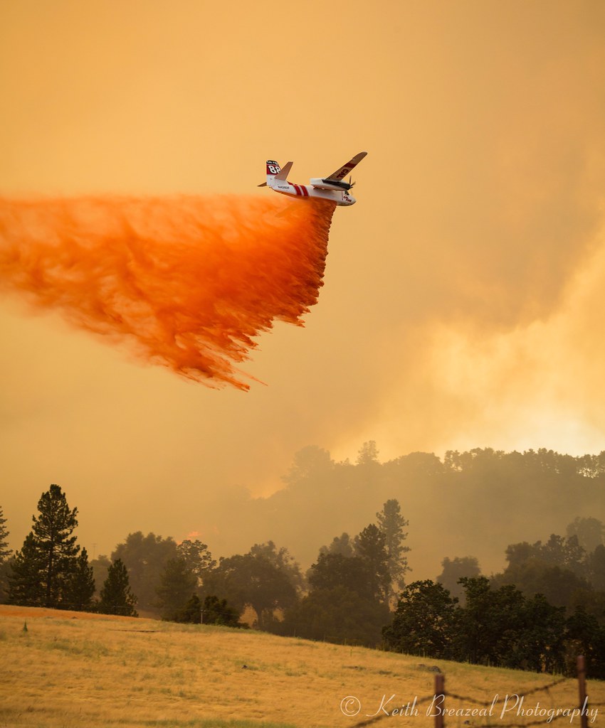
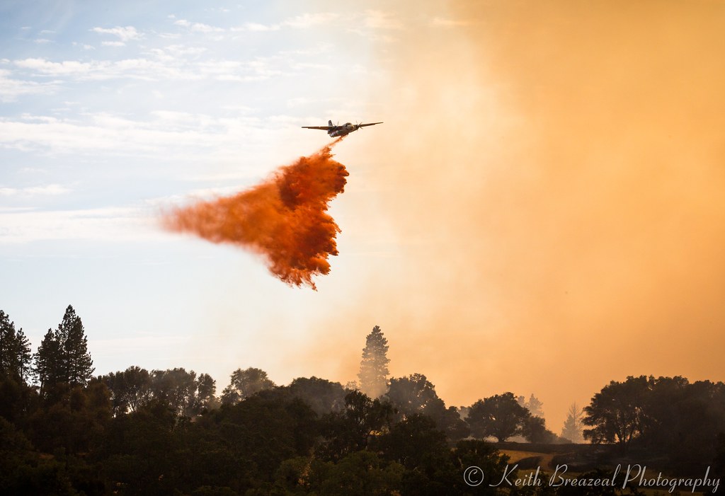
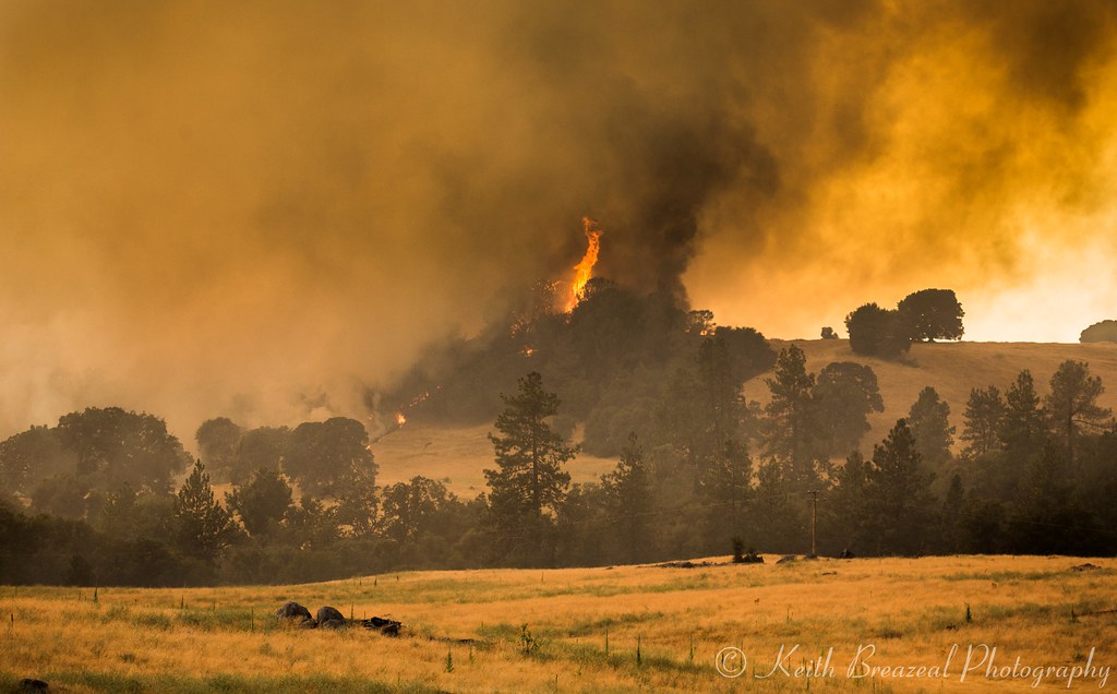
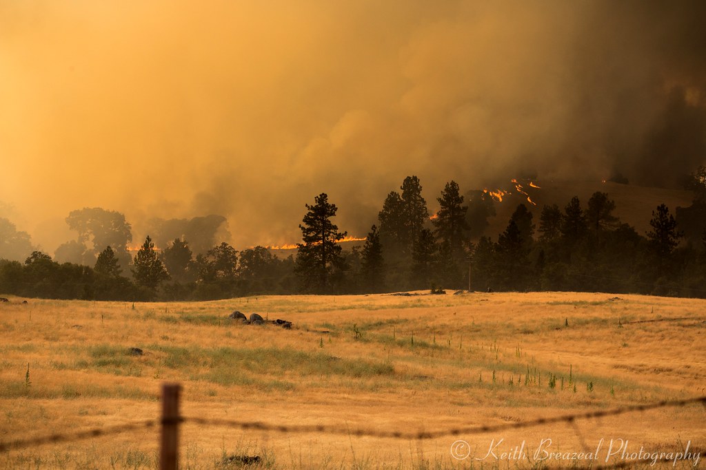
Sand Fire July 2014 © Keith Breazeal-38

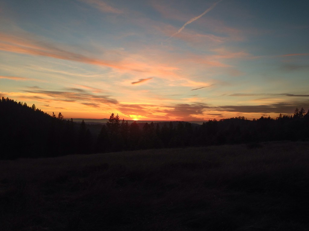
california sunset
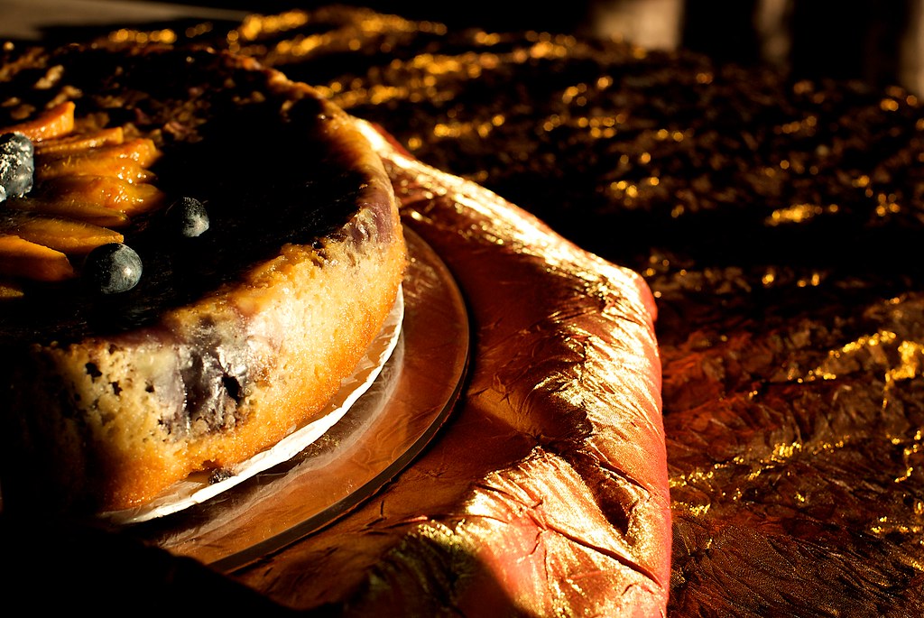
sunset on cake
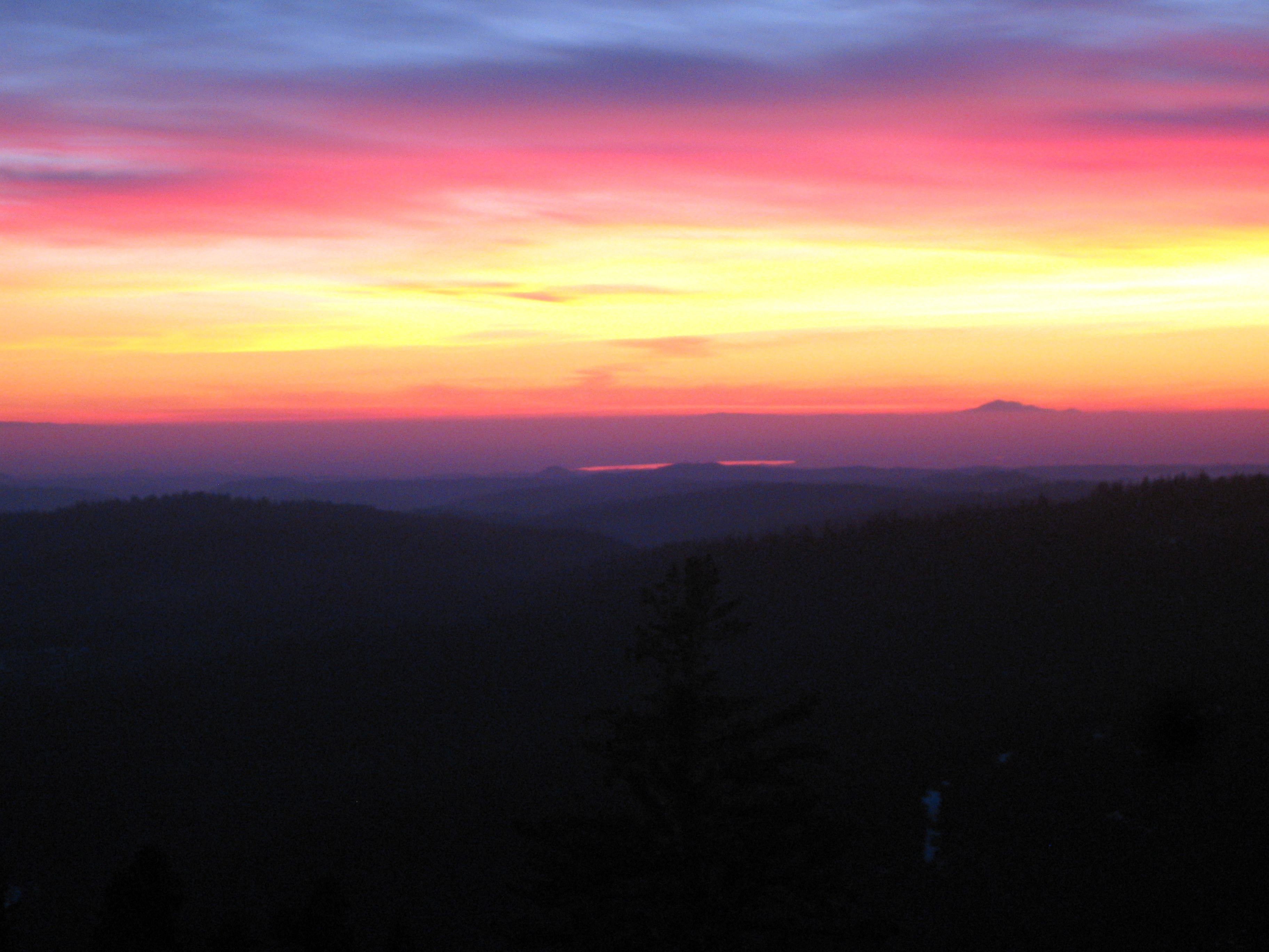
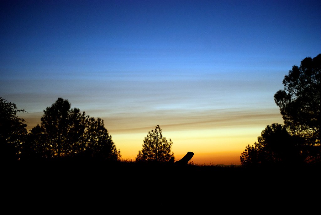
Painted Sky
Living Color
sunset skies, Red Mule Ranch, Fiddletown,
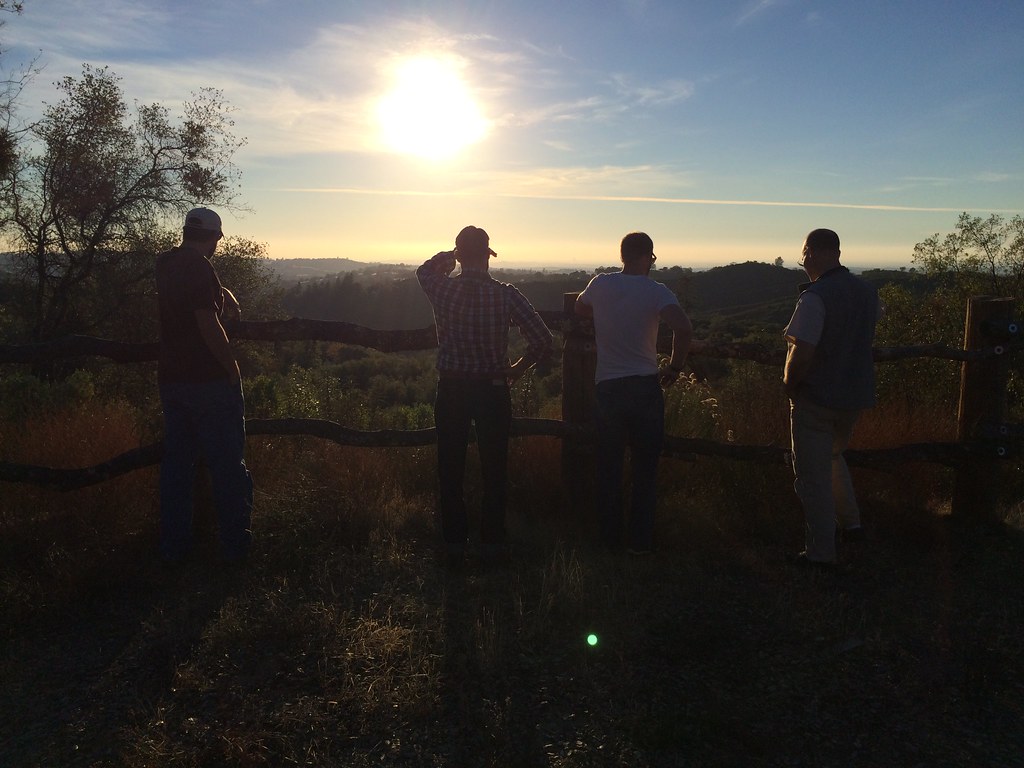
A Final Sunset at the Fence
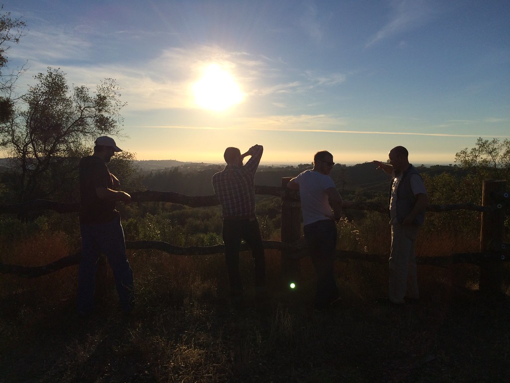
A gorgeous sunset in the hills as we left....
Sand Fire July 2014 © Keith Breazeal-32
Sand Fire July 2014 © Keith Breazeal-21
Sacramento deluge
Cowboy Campfire, Dave Stamey, Hopkins, torch, sunset, Red Mule Ranch, Fiddletown,
Another Sunset at the Fence
#sunset #nature #mountains #pioneer

Red Sun
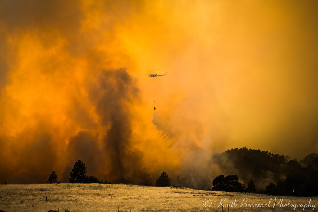
Sand Fire July 2014 © Keith Breazeal-19
california sunset
Sand Fire July 2014 © Keith Breazeal-28
Amador winetasting Nov 2012 145
Sand Fire July 2014 © Keith Breazeal-30

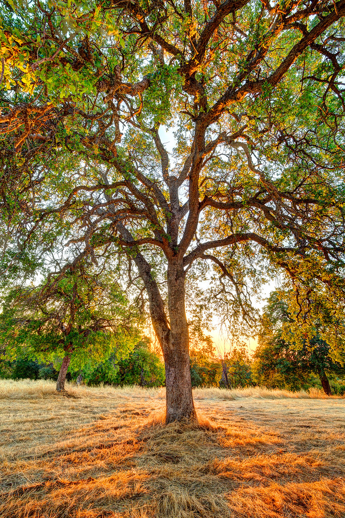
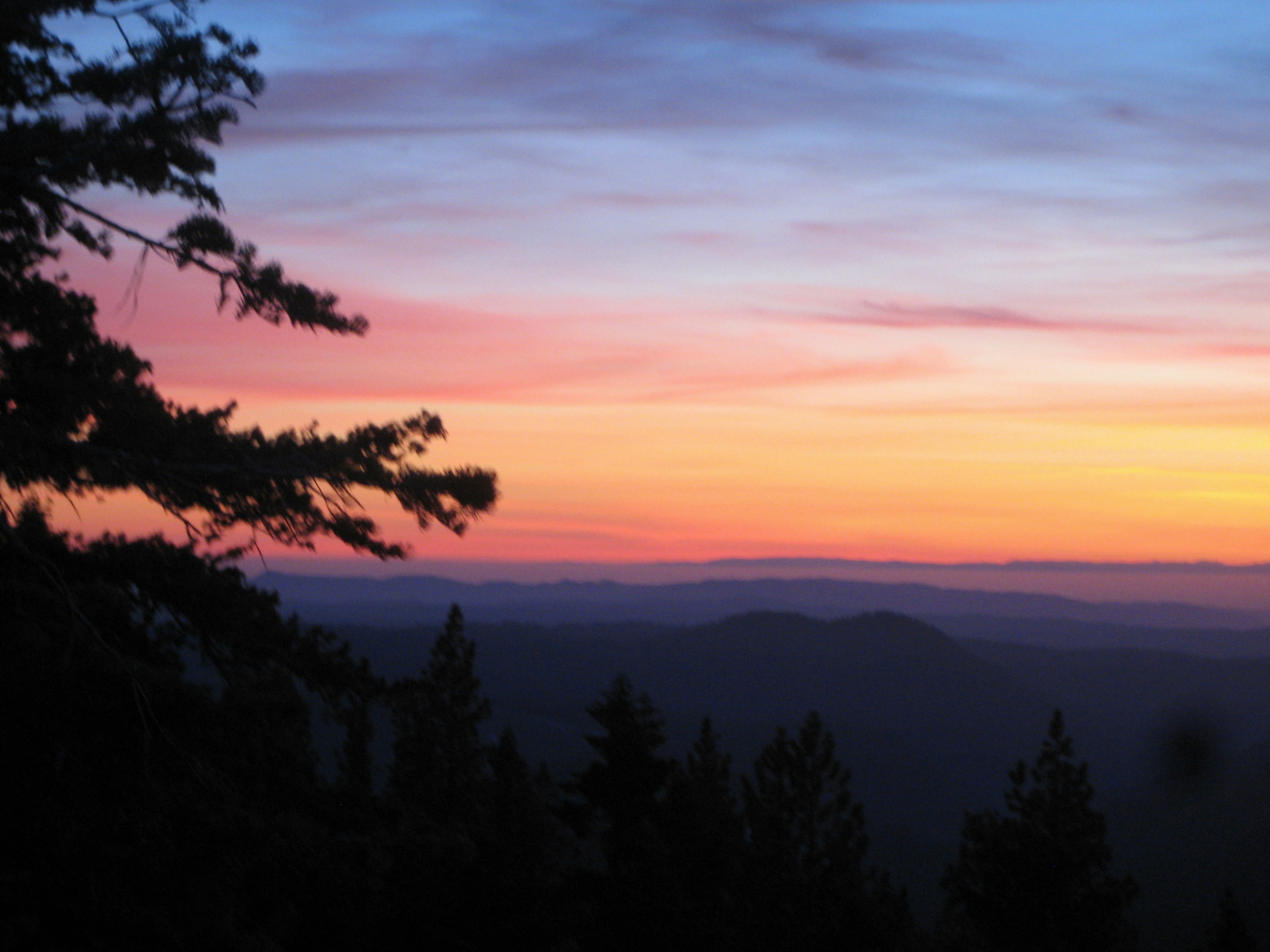
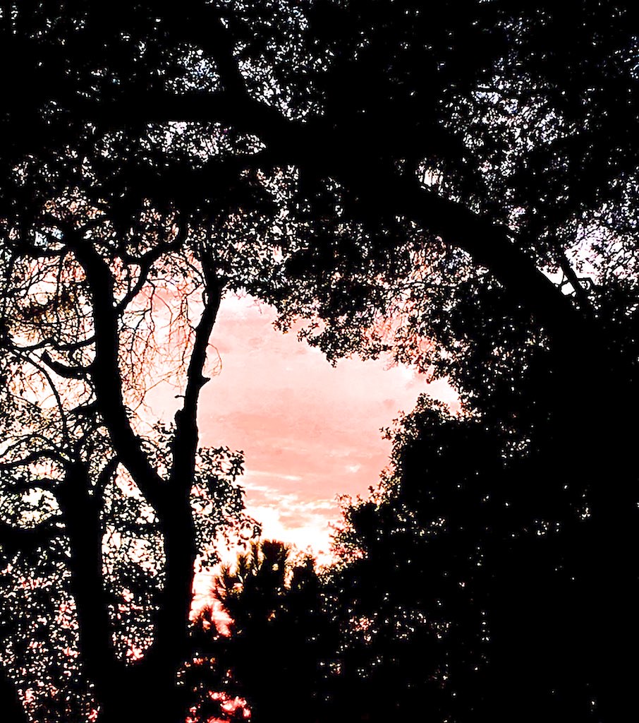
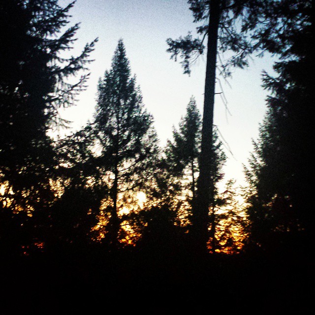
Sunrise through the trees in Amador County

Sunrise through the trees in Amador County

Sunrise through the trees in Amador County

Sunrise through the trees in Amador County

Sunrise through the trees in Amador County

Sunrise Behind the Trees Amador County

Sunrise through the trees in Amador County

Sunrise through the trees in Amador County

Sunrise through the trees in Amador County
Charleston Ct, Volcano, CA 美国的地图
查询其他地方的日出日落时间
附近地点
Charleston Ct, Volcano, CA 美国
Shake Ridge Rd, Volcano, CA 美国
Charleston Rd, Volcano, CA 美国
Rams Horn Grade Road, Volcano, CA 美国
Rams Horn Grade Road, Volcano, CA 美国
Rams Horn Grade Road, Volcano, CA 美国McLaughlin's Daffodil Hill
Rams Horn Grade Road, Volcano, CA 美国
Emigrant Trail, Volcano, CA 美国Saint Bernards Catholic Church
Consolation St, Volcano, CA 美国Volcano Union Inn
美国加利福尼亚州沃尔卡诺
Consolation St, Volcano, CA 美国
Main St, Volcano, CA 美国Volcano Country Store
South Main Street, Volcano, CA 美国United States Postal Service
Main St, Volcano, CA 美国St George Hotel
Mella Dr, Volcano, CA 美国Mella Drive
Hale Rd, Volcano, CA 美国
Ponderosa Hills Rd, Volcano, CA 美国
Wildcat Way, California 美国
Shake Ridge Rd, Volcano, CA 美国
Pioneer Volcano Rd, Volcano, CA 美国Black Chasm Cavern National Natural Landmark
最近搜索
- Nedre Storvollen, Kvaløysletta, Norway的日出日落时间表
- Unnamed Road, Respublika Severnaya Osetiya — Alaniya, 俄罗斯的日出日落时间表
- Herbage Dr, Gulfport, MS 美国的日出日落时间表
- Pointe-au-Père, Rimouski, QC, Canada的日出日落时间表
- -日本的日出日落时间表
- End of Belair Road, Long Bay, Bridgetown 巴巴多斯Wyndham Grand Barbados Sam Lords Castle All Inclusive R的日出日落时间表
- 日本〒- Hokkaido, Sapporo, Chuo Ward, Minami 2 Jōnishi, 5-chōme−6−1 狸小路5丁目内Satsugeki的日出日落时间表
- 中国河北省邯郸市肥乡区的日出日落时间表
- 中国安徽省合肥市蜀山区合肥高新区的日出日落时间表
- 台湾苗栗縣竹南鎮龍江街巷15號龙凤渔港的日出日落时间表