Sunrise Sunset Times of Tateyama, Nakaniikawa District, Toyama Prefecture, Japan
Location: Japan > Toyama Prefecture > Nakaniikawa District >
Timezone:
Asia/Tokyo
Current Time:
2024-04-23 21:55:26
Longitude:
137.3136968
Latitude:
36.6635222
Sunrise Today:
05:05:54 AM
Sunset Today:
06:32:07 PM
Daylength Today:
13h 26m 13s
Sunrise Tomorrow:
05:04:40 AM
Sunset Tomorrow:
06:32:59 PM
Daylength Tomorrow:
13h 28m 19s
Year Show All Dates
| Date | Sunrise | Sunset | Daylength |
|---|---|---|---|
| 01/01/2024 | 07:02:54 AM | 04:45:00 PM | 9h 42m 6s |
| 01/02/2024 | 07:03:04 AM | 04:45:46 PM | 9h 42m 42s |
| 01/03/2024 | 07:03:12 AM | 04:46:34 PM | 9h 43m 22s |
| 01/04/2024 | 07:03:19 AM | 04:47:23 PM | 9h 44m 4s |
| 01/05/2024 | 07:03:23 AM | 04:48:13 PM | 9h 44m 50s |
| 01/06/2024 | 07:03:25 AM | 04:49:04 PM | 9h 45m 39s |
| 01/07/2024 | 07:03:26 AM | 04:49:56 PM | 9h 46m 30s |
| 01/08/2024 | 07:03:24 AM | 04:50:50 PM | 9h 47m 26s |
| 01/09/2024 | 07:03:20 AM | 04:51:44 PM | 9h 48m 24s |
| 01/10/2024 | 07:03:15 AM | 04:52:40 PM | 9h 49m 25s |
| 01/11/2024 | 07:03:07 AM | 04:53:36 PM | 9h 50m 29s |
| 01/12/2024 | 07:02:57 AM | 04:54:33 PM | 9h 51m 36s |
| 01/13/2024 | 07:02:45 AM | 04:55:31 PM | 9h 52m 46s |
| 01/14/2024 | 07:02:32 AM | 04:56:30 PM | 9h 53m 58s |
| 01/15/2024 | 07:02:16 AM | 04:57:29 PM | 9h 55m 13s |
| 01/16/2024 | 07:01:58 AM | 04:58:29 PM | 9h 56m 31s |
| 01/17/2024 | 07:01:39 AM | 04:59:30 PM | 9h 57m 51s |
| 01/18/2024 | 07:01:17 AM | 05:00:31 PM | 9h 59m 14s |
| 01/19/2024 | 07:00:54 AM | 05:01:33 PM | 10h 0m 39s |
| 01/20/2024 | 07:00:28 AM | 05:02:35 PM | 10h 2m 7s |
| 01/21/2024 | 07:00:01 AM | 05:03:37 PM | 10h 3m 36s |
| 01/22/2024 | 06:59:32 AM | 05:04:40 PM | 10h 5m 8s |
| 01/23/2024 | 06:59:01 AM | 05:05:44 PM | 10h 6m 43s |
| 01/24/2024 | 06:58:28 AM | 05:06:47 PM | 10h 8m 19s |
| 01/25/2024 | 06:57:53 AM | 05:07:51 PM | 10h 9m 58s |
| 01/26/2024 | 06:57:16 AM | 05:08:55 PM | 10h 11m 39s |
| 01/27/2024 | 06:56:38 AM | 05:09:59 PM | 10h 13m 21s |
| 01/28/2024 | 06:55:58 AM | 05:11:04 PM | 10h 15m 6s |
| 01/29/2024 | 06:55:16 AM | 05:12:08 PM | 10h 16m 52s |
| 01/30/2024 | 06:54:33 AM | 05:13:13 PM | 10h 18m 40s |
| 01/31/2024 | 06:53:48 AM | 05:14:17 PM | 10h 20m 29s |
| 02/01/2024 | 06:53:01 AM | 05:15:22 PM | 10h 22m 21s |
| 02/02/2024 | 06:52:12 AM | 05:16:27 PM | 10h 24m 15s |
| 02/03/2024 | 06:51:22 AM | 05:17:31 PM | 10h 26m 9s |
| 02/04/2024 | 06:50:31 AM | 05:18:36 PM | 10h 28m 5s |
| 02/05/2024 | 06:49:38 AM | 05:19:40 PM | 10h 30m 2s |
| 02/06/2024 | 06:48:43 AM | 05:20:44 PM | 10h 32m 1s |
| 02/07/2024 | 06:47:47 AM | 05:21:48 PM | 10h 34m 1s |
| 02/08/2024 | 06:46:50 AM | 05:22:52 PM | 10h 36m 2s |
| 02/09/2024 | 06:45:51 AM | 05:23:56 PM | 10h 38m 5s |
| 02/10/2024 | 06:44:51 AM | 05:24:59 PM | 10h 40m 8s |
| 02/11/2024 | 06:43:49 AM | 05:26:03 PM | 10h 42m 14s |
| 02/12/2024 | 06:42:47 AM | 05:27:06 PM | 10h 44m 19s |
| 02/13/2024 | 06:41:43 AM | 05:28:08 PM | 10h 46m 25s |
| 02/14/2024 | 06:40:37 AM | 05:29:11 PM | 10h 48m 34s |
| 02/15/2024 | 06:39:31 AM | 05:30:13 PM | 10h 50m 42s |
| 02/16/2024 | 06:38:23 AM | 05:31:15 PM | 10h 52m 52s |
| 02/17/2024 | 06:37:14 AM | 05:32:17 PM | 10h 55m 3s |
| 02/18/2024 | 06:36:04 AM | 05:33:18 PM | 10h 57m 14s |
| 02/19/2024 | 06:34:53 AM | 05:34:19 PM | 10h 59m 26s |
| 02/20/2024 | 06:33:41 AM | 05:35:20 PM | 11h 1m 39s |
| 02/21/2024 | 06:32:28 AM | 05:36:20 PM | 11h 3m 52s |
| 02/22/2024 | 06:31:14 AM | 05:37:20 PM | 11h 6m 6s |
| 02/23/2024 | 06:29:59 AM | 05:38:20 PM | 11h 8m 21s |
| 02/24/2024 | 06:28:43 AM | 05:39:20 PM | 11h 10m 37s |
| 02/25/2024 | 06:27:26 AM | 05:40:19 PM | 11h 12m 53s |
| 02/26/2024 | 06:26:09 AM | 05:41:18 PM | 11h 15m 9s |
| 02/27/2024 | 06:24:50 AM | 05:42:16 PM | 11h 17m 26s |
| 02/28/2024 | 06:23:31 AM | 05:43:14 PM | 11h 19m 43s |
| 02/29/2024 | 06:22:11 AM | 05:44:12 PM | 11h 22m 1s |
| 03/01/2024 | 06:20:51 AM | 05:45:09 PM | 11h 24m 18s |
| 03/02/2024 | 06:19:29 AM | 05:46:07 PM | 11h 26m 38s |
| 03/03/2024 | 06:18:07 AM | 05:47:03 PM | 11h 28m 56s |
| 03/04/2024 | 06:16:45 AM | 05:48:00 PM | 11h 31m 15s |
| 03/05/2024 | 06:15:22 AM | 05:48:56 PM | 11h 33m 34s |
| 03/06/2024 | 06:13:58 AM | 05:49:52 PM | 11h 35m 54s |
| 03/07/2024 | 06:12:34 AM | 05:50:48 PM | 11h 38m 14s |
| 03/08/2024 | 06:11:09 AM | 05:51:43 PM | 11h 40m 34s |
| 03/09/2024 | 06:09:44 AM | 05:52:39 PM | 11h 42m 55s |
| 03/10/2024 | 06:08:18 AM | 05:53:34 PM | 11h 45m 16s |
| 03/11/2024 | 06:06:52 AM | 05:54:28 PM | 11h 47m 36s |
| 03/12/2024 | 06:05:25 AM | 05:55:23 PM | 11h 49m 58s |
| 03/13/2024 | 06:03:59 AM | 05:56:17 PM | 11h 52m 18s |
| 03/14/2024 | 06:02:32 AM | 05:57:11 PM | 11h 54m 39s |
| 03/15/2024 | 06:01:04 AM | 05:58:05 PM | 11h 57m 1s |
| 03/16/2024 | 05:59:37 AM | 05:58:58 PM | 11h 59m 21s |
| 03/17/2024 | 05:58:09 AM | 05:59:52 PM | 12h 1m 43s |
| 03/18/2024 | 05:56:41 AM | 06:00:45 PM | 12h 4m 4s |
| 03/19/2024 | 05:55:13 AM | 06:01:38 PM | 12h 6m 25s |
| 03/20/2024 | 05:53:44 AM | 06:02:31 PM | 12h 8m 47s |
| 03/21/2024 | 05:52:16 AM | 06:03:24 PM | 12h 11m 8s |
| 03/22/2024 | 05:50:47 AM | 06:04:16 PM | 12h 13m 29s |
| 03/23/2024 | 05:49:19 AM | 06:05:09 PM | 12h 15m 50s |
| 03/24/2024 | 05:47:50 AM | 06:06:01 PM | 12h 18m 11s |
| 03/25/2024 | 05:46:22 AM | 06:06:53 PM | 12h 20m 31s |
| 03/26/2024 | 05:44:54 AM | 06:07:46 PM | 12h 22m 52s |
| 03/27/2024 | 05:43:25 AM | 06:08:38 PM | 12h 25m 13s |
| 03/28/2024 | 05:41:57 AM | 06:09:30 PM | 12h 27m 33s |
| 03/29/2024 | 05:40:29 AM | 06:10:22 PM | 12h 29m 53s |
| 03/30/2024 | 05:39:01 AM | 06:11:14 PM | 12h 32m 13s |
| 03/31/2024 | 05:37:33 AM | 06:12:06 PM | 12h 34m 33s |
| 04/01/2024 | 05:36:06 AM | 06:12:58 PM | 12h 36m 52s |
| 04/02/2024 | 05:34:38 AM | 06:13:50 PM | 12h 39m 12s |
| 04/03/2024 | 05:33:11 AM | 06:14:41 PM | 12h 41m 30s |
| 04/04/2024 | 05:31:45 AM | 06:15:33 PM | 12h 43m 48s |
| 04/05/2024 | 05:30:18 AM | 06:16:25 PM | 12h 46m 7s |
| 04/06/2024 | 05:28:52 AM | 06:17:17 PM | 12h 48m 25s |
| 04/07/2024 | 05:27:27 AM | 06:18:09 PM | 12h 50m 42s |
| 04/08/2024 | 05:26:02 AM | 06:19:01 PM | 12h 52m 59s |
| 04/09/2024 | 05:24:37 AM | 06:19:53 PM | 12h 55m 16s |
| 04/10/2024 | 05:23:13 AM | 06:20:45 PM | 12h 57m 32s |
| 04/11/2024 | 05:21:49 AM | 06:21:37 PM | 12h 59m 48s |
| 04/12/2024 | 05:20:26 AM | 06:22:29 PM | 13h 2m 3s |
| 04/13/2024 | 05:19:04 AM | 06:23:21 PM | 13h 4m 17s |
| 04/14/2024 | 05:17:42 AM | 06:24:13 PM | 13h 6m 31s |
| 04/15/2024 | 05:16:21 AM | 06:25:05 PM | 13h 8m 44s |
| 04/16/2024 | 05:15:00 AM | 06:25:58 PM | 13h 10m 58s |
| 04/17/2024 | 05:13:40 AM | 06:26:50 PM | 13h 13m 10s |
| 04/18/2024 | 05:12:21 AM | 06:27:42 PM | 13h 15m 21s |
| 04/19/2024 | 05:11:03 AM | 06:28:35 PM | 13h 17m 32s |
| 04/20/2024 | 05:09:45 AM | 06:29:27 PM | 13h 19m 42s |
| 04/21/2024 | 05:08:28 AM | 06:30:20 PM | 13h 21m 52s |
| 04/22/2024 | 05:07:12 AM | 06:31:12 PM | 13h 24m 0s |
| 04/23/2024 | 05:05:57 AM | 06:32:05 PM | 13h 26m 8s |
| 04/24/2024 | 05:04:43 AM | 06:32:57 PM | 13h 28m 14s |
| 04/25/2024 | 05:03:30 AM | 06:33:50 PM | 13h 30m 20s |
| 04/26/2024 | 05:02:18 AM | 06:34:43 PM | 13h 32m 25s |
| 04/27/2024 | 05:01:07 AM | 06:35:35 PM | 13h 34m 28s |
| 04/28/2024 | 04:59:56 AM | 06:36:28 PM | 13h 36m 32s |
| 04/29/2024 | 04:58:47 AM | 06:37:20 PM | 13h 38m 33s |
| 04/30/2024 | 04:57:39 AM | 06:38:13 PM | 13h 40m 34s |
| 05/01/2024 | 04:56:32 AM | 06:39:06 PM | 13h 42m 34s |
| 05/02/2024 | 04:55:26 AM | 06:39:58 PM | 13h 44m 32s |
| 05/03/2024 | 04:54:21 AM | 06:40:50 PM | 13h 46m 29s |
| 05/04/2024 | 04:53:18 AM | 06:41:43 PM | 13h 48m 25s |
| 05/05/2024 | 04:52:16 AM | 06:42:35 PM | 13h 50m 19s |
| 05/06/2024 | 04:51:15 AM | 06:43:27 PM | 13h 52m 12s |
| 05/07/2024 | 04:50:15 AM | 06:44:19 PM | 13h 54m 4s |
| 05/08/2024 | 04:49:16 AM | 06:45:11 PM | 13h 55m 55s |
| 05/09/2024 | 04:48:19 AM | 06:46:02 PM | 13h 57m 43s |
| 05/10/2024 | 04:47:24 AM | 06:46:54 PM | 13h 59m 30s |
| 05/11/2024 | 04:46:29 AM | 06:47:45 PM | 14h 1m 16s |
| 05/12/2024 | 04:45:36 AM | 06:48:36 PM | 14h 3m 0s |
| 05/13/2024 | 04:44:45 AM | 06:49:26 PM | 14h 4m 41s |
| 05/14/2024 | 04:43:54 AM | 06:50:17 PM | 14h 6m 23s |
| 05/15/2024 | 04:43:06 AM | 06:51:07 PM | 14h 8m 1s |
| 05/16/2024 | 04:42:19 AM | 06:51:56 PM | 14h 9m 37s |
| 05/17/2024 | 04:41:33 AM | 06:52:46 PM | 14h 11m 13s |
| 05/18/2024 | 04:40:49 AM | 06:53:34 PM | 14h 12m 45s |
| 05/19/2024 | 04:40:06 AM | 06:54:23 PM | 14h 14m 17s |
| 05/20/2024 | 04:39:25 AM | 06:55:10 PM | 14h 15m 45s |
| 05/21/2024 | 04:38:46 AM | 06:55:58 PM | 14h 17m 12s |
| 05/22/2024 | 04:38:08 AM | 06:56:45 PM | 14h 18m 37s |
| 05/23/2024 | 04:37:32 AM | 06:57:31 PM | 14h 19m 59s |
| 05/24/2024 | 04:36:58 AM | 06:58:16 PM | 14h 21m 18s |
| 05/25/2024 | 04:36:25 AM | 06:59:01 PM | 14h 22m 36s |
| 05/26/2024 | 04:35:54 AM | 06:59:45 PM | 14h 23m 51s |
| 05/27/2024 | 04:35:24 AM | 07:00:29 PM | 14h 25m 5s |
| 05/28/2024 | 04:34:57 AM | 07:01:11 PM | 14h 26m 14s |
| 05/29/2024 | 04:34:31 AM | 07:01:53 PM | 14h 27m 22s |
| 05/30/2024 | 04:34:06 AM | 07:02:34 PM | 14h 28m 28s |
| 05/31/2024 | 04:33:44 AM | 07:03:14 PM | 14h 29m 30s |
| 06/01/2024 | 04:33:23 AM | 07:03:53 PM | 14h 30m 30s |
| 06/02/2024 | 04:33:04 AM | 07:04:32 PM | 14h 31m 28s |
| 06/03/2024 | 04:32:46 AM | 07:05:09 PM | 14h 32m 23s |
| 06/04/2024 | 04:32:31 AM | 07:05:45 PM | 14h 33m 14s |
| 06/05/2024 | 04:32:17 AM | 07:06:20 PM | 14h 34m 3s |
| 06/06/2024 | 04:32:04 AM | 07:06:54 PM | 14h 34m 50s |
| 06/07/2024 | 04:31:54 AM | 07:07:27 PM | 14h 35m 33s |
| 06/08/2024 | 04:31:45 AM | 07:07:59 PM | 14h 36m 14s |
| 06/09/2024 | 04:31:38 AM | 07:08:29 PM | 14h 36m 51s |
| 06/10/2024 | 04:31:33 AM | 07:08:58 PM | 14h 37m 25s |
| 06/11/2024 | 04:31:30 AM | 07:09:26 PM | 14h 37m 56s |
| 06/12/2024 | 04:31:28 AM | 07:09:53 PM | 14h 38m 25s |
| 06/13/2024 | 04:31:28 AM | 07:10:18 PM | 14h 38m 50s |
| 06/14/2024 | 04:31:29 AM | 07:10:42 PM | 14h 39m 13s |
| 06/15/2024 | 04:31:33 AM | 07:11:04 PM | 14h 39m 31s |
| 06/16/2024 | 04:31:38 AM | 07:11:25 PM | 14h 39m 47s |
| 06/17/2024 | 04:31:44 AM | 07:11:45 PM | 14h 40m 1s |
| 06/18/2024 | 04:31:52 AM | 07:12:03 PM | 14h 40m 11s |
| 06/19/2024 | 04:32:02 AM | 07:12:19 PM | 14h 40m 17s |
| 06/20/2024 | 04:32:13 AM | 07:12:34 PM | 14h 40m 21s |
| 06/21/2024 | 04:32:26 AM | 07:12:47 PM | 14h 40m 21s |
| 06/22/2024 | 04:32:41 AM | 07:12:59 PM | 14h 40m 18s |
| 06/23/2024 | 04:32:57 AM | 07:13:09 PM | 14h 40m 12s |
| 06/24/2024 | 04:33:14 AM | 07:13:17 PM | 14h 40m 3s |
| 06/25/2024 | 04:33:33 AM | 07:13:24 PM | 14h 39m 51s |
| 06/26/2024 | 04:33:53 AM | 07:13:29 PM | 14h 39m 36s |
| 06/27/2024 | 04:34:15 AM | 07:13:32 PM | 14h 39m 17s |
| 06/28/2024 | 04:34:38 AM | 07:13:33 PM | 14h 38m 55s |
| 06/29/2024 | 04:35:02 AM | 07:13:33 PM | 14h 38m 31s |
| 06/30/2024 | 04:35:28 AM | 07:13:31 PM | 14h 38m 3s |
| 07/01/2024 | 04:35:55 AM | 07:13:28 PM | 14h 37m 33s |
| 07/02/2024 | 04:36:23 AM | 07:13:22 PM | 14h 36m 59s |
| 07/03/2024 | 04:36:52 AM | 07:13:15 PM | 14h 36m 23s |
| 07/04/2024 | 04:37:23 AM | 07:13:06 PM | 14h 35m 43s |
| 07/05/2024 | 04:37:54 AM | 07:12:55 PM | 14h 35m 1s |
| 07/06/2024 | 04:38:27 AM | 07:12:43 PM | 14h 34m 16s |
| 07/07/2024 | 04:39:01 AM | 07:12:28 PM | 14h 33m 27s |
| 07/08/2024 | 04:39:35 AM | 07:12:12 PM | 14h 32m 37s |
| 07/09/2024 | 04:40:11 AM | 07:11:54 PM | 14h 31m 43s |
| 07/10/2024 | 04:40:48 AM | 07:11:34 PM | 14h 30m 46s |
| 07/11/2024 | 04:41:25 AM | 07:11:13 PM | 14h 29m 48s |
| 07/12/2024 | 04:42:04 AM | 07:10:50 PM | 14h 28m 46s |
| 07/13/2024 | 04:42:43 AM | 07:10:25 PM | 14h 27m 42s |
| 07/14/2024 | 04:43:23 AM | 07:09:58 PM | 14h 26m 35s |
| 07/15/2024 | 04:44:03 AM | 07:09:29 PM | 14h 25m 26s |
| 07/16/2024 | 04:44:45 AM | 07:08:59 PM | 14h 24m 14s |
| 07/17/2024 | 04:45:27 AM | 07:08:27 PM | 14h 23m 0s |
| 07/18/2024 | 04:46:10 AM | 07:07:54 PM | 14h 21m 44s |
| 07/19/2024 | 04:46:53 AM | 07:07:18 PM | 14h 20m 25s |
| 07/20/2024 | 04:47:37 AM | 07:06:41 PM | 14h 19m 4s |
| 07/21/2024 | 04:48:21 AM | 07:06:03 PM | 14h 17m 42s |
| 07/22/2024 | 04:49:06 AM | 07:05:22 PM | 14h 16m 16s |
| 07/23/2024 | 04:49:52 AM | 07:04:40 PM | 14h 14m 48s |
| 07/24/2024 | 04:50:38 AM | 07:03:57 PM | 14h 13m 19s |
| 07/25/2024 | 04:51:24 AM | 07:03:12 PM | 14h 11m 48s |
| 07/26/2024 | 04:52:11 AM | 07:02:25 PM | 14h 10m 14s |
| 07/27/2024 | 04:52:57 AM | 07:01:37 PM | 14h 8m 40s |
| 07/28/2024 | 04:53:45 AM | 07:00:47 PM | 14h 7m 2s |
| 07/29/2024 | 04:54:32 AM | 06:59:56 PM | 14h 5m 24s |
| 07/30/2024 | 04:55:20 AM | 06:59:03 PM | 14h 3m 43s |
| 07/31/2024 | 04:56:08 AM | 06:58:09 PM | 14h 2m 1s |
| 08/01/2024 | 04:56:56 AM | 06:57:13 PM | 14h 0m 17s |
| 08/02/2024 | 04:57:45 AM | 06:56:16 PM | 13h 58m 31s |
| 08/03/2024 | 04:58:33 AM | 06:55:18 PM | 13h 56m 45s |
| 08/04/2024 | 04:59:22 AM | 06:54:18 PM | 13h 54m 56s |
| 08/05/2024 | 05:00:11 AM | 06:53:17 PM | 13h 53m 6s |
| 08/06/2024 | 05:01:00 AM | 06:52:15 PM | 13h 51m 15s |
| 08/07/2024 | 05:01:49 AM | 06:51:11 PM | 13h 49m 22s |
| 08/08/2024 | 05:02:38 AM | 06:50:07 PM | 13h 47m 29s |
| 08/09/2024 | 05:03:27 AM | 06:49:01 PM | 13h 45m 34s |
| 08/10/2024 | 05:04:16 AM | 06:47:53 PM | 13h 43m 37s |
| 08/11/2024 | 05:05:05 AM | 06:46:45 PM | 13h 41m 40s |
| 08/12/2024 | 05:05:54 AM | 06:45:36 PM | 13h 39m 42s |
| 08/13/2024 | 05:06:44 AM | 06:44:25 PM | 13h 37m 41s |
| 08/14/2024 | 05:07:33 AM | 06:43:13 PM | 13h 35m 40s |
| 08/15/2024 | 05:08:22 AM | 06:42:01 PM | 13h 33m 39s |
| 08/16/2024 | 05:09:11 AM | 06:40:47 PM | 13h 31m 36s |
| 08/17/2024 | 05:10:00 AM | 06:39:32 PM | 13h 29m 32s |
| 08/18/2024 | 05:10:49 AM | 06:38:17 PM | 13h 27m 28s |
| 08/19/2024 | 05:11:38 AM | 06:37:00 PM | 13h 25m 22s |
| 08/20/2024 | 05:12:26 AM | 06:35:43 PM | 13h 23m 17s |
| 08/21/2024 | 05:13:15 AM | 06:34:24 PM | 13h 21m 9s |
| 08/22/2024 | 05:14:04 AM | 06:33:05 PM | 13h 19m 1s |
| 08/23/2024 | 05:14:52 AM | 06:31:45 PM | 13h 16m 53s |
| 08/24/2024 | 05:15:41 AM | 06:30:25 PM | 13h 14m 44s |
| 08/25/2024 | 05:16:29 AM | 06:29:03 PM | 13h 12m 34s |
| 08/26/2024 | 05:17:18 AM | 06:27:41 PM | 13h 10m 23s |
| 08/27/2024 | 05:18:06 AM | 06:26:18 PM | 13h 8m 12s |
| 08/28/2024 | 05:18:54 AM | 06:24:54 PM | 13h 6m 0s |
| 08/29/2024 | 05:19:42 AM | 06:23:30 PM | 13h 3m 48s |
| 08/30/2024 | 05:20:30 AM | 06:22:05 PM | 13h 1m 35s |
| 08/31/2024 | 05:21:18 AM | 06:20:40 PM | 12h 59m 22s |
| 09/01/2024 | 05:22:06 AM | 06:19:14 PM | 12h 57m 8s |
| 09/02/2024 | 05:22:54 AM | 06:17:48 PM | 12h 54m 54s |
| 09/03/2024 | 05:23:42 AM | 06:16:21 PM | 12h 52m 39s |
| 09/04/2024 | 05:24:29 AM | 06:14:53 PM | 12h 50m 24s |
| 09/05/2024 | 05:25:17 AM | 06:13:26 PM | 12h 48m 9s |
| 09/06/2024 | 05:26:04 AM | 06:11:57 PM | 12h 45m 53s |
| 09/07/2024 | 05:26:52 AM | 06:10:29 PM | 12h 43m 37s |
| 09/08/2024 | 05:27:40 AM | 06:09:00 PM | 12h 41m 20s |
| 09/09/2024 | 05:28:27 AM | 06:07:31 PM | 12h 39m 4s |
| 09/10/2024 | 05:29:15 AM | 06:06:01 PM | 12h 36m 46s |
| 09/11/2024 | 05:30:02 AM | 06:04:31 PM | 12h 34m 29s |
| 09/12/2024 | 05:30:50 AM | 06:03:01 PM | 12h 32m 11s |
| 09/13/2024 | 05:31:37 AM | 06:01:31 PM | 12h 29m 54s |
| 09/14/2024 | 05:32:25 AM | 06:00:01 PM | 12h 27m 36s |
| 09/15/2024 | 05:33:13 AM | 05:58:30 PM | 12h 25m 17s |
| 09/16/2024 | 05:34:00 AM | 05:57:00 PM | 12h 23m 0s |
| 09/17/2024 | 05:34:48 AM | 05:55:29 PM | 12h 20m 41s |
| 09/18/2024 | 05:35:36 AM | 05:53:58 PM | 12h 18m 22s |
| 09/19/2024 | 05:36:24 AM | 05:52:27 PM | 12h 16m 3s |
| 09/20/2024 | 05:37:12 AM | 05:50:57 PM | 12h 13m 45s |
| 09/21/2024 | 05:38:00 AM | 05:49:26 PM | 12h 11m 26s |
| 09/22/2024 | 05:38:49 AM | 05:47:55 PM | 12h 9m 6s |
| 09/23/2024 | 05:39:37 AM | 05:46:25 PM | 12h 6m 48s |
| 09/24/2024 | 05:40:26 AM | 05:44:54 PM | 12h 4m 28s |
| 09/25/2024 | 05:41:14 AM | 05:43:24 PM | 12h 2m 10s |
| 09/26/2024 | 05:42:03 AM | 05:41:54 PM | 11h 59m 51s |
| 09/27/2024 | 05:42:53 AM | 05:40:24 PM | 11h 57m 31s |
| 09/28/2024 | 05:43:42 AM | 05:38:54 PM | 11h 55m 12s |
| 09/29/2024 | 05:44:31 AM | 05:37:25 PM | 11h 52m 54s |
| 09/30/2024 | 05:45:21 AM | 05:35:56 PM | 11h 50m 35s |
| 10/01/2024 | 05:46:11 AM | 05:34:27 PM | 11h 48m 16s |
| 10/02/2024 | 05:47:01 AM | 05:32:58 PM | 11h 45m 57s |
| 10/03/2024 | 05:47:52 AM | 05:31:30 PM | 11h 43m 38s |
| 10/04/2024 | 05:48:42 AM | 05:30:03 PM | 11h 41m 21s |
| 10/05/2024 | 05:49:33 AM | 05:28:35 PM | 11h 39m 2s |
| 10/06/2024 | 05:50:25 AM | 05:27:09 PM | 11h 36m 44s |
| 10/07/2024 | 05:51:16 AM | 05:25:42 PM | 11h 34m 26s |
| 10/08/2024 | 05:52:08 AM | 05:24:17 PM | 11h 32m 9s |
| 10/09/2024 | 05:53:00 AM | 05:22:52 PM | 11h 29m 52s |
| 10/10/2024 | 05:53:53 AM | 05:21:27 PM | 11h 27m 34s |
| 10/11/2024 | 05:54:46 AM | 05:20:03 PM | 11h 25m 17s |
| 10/12/2024 | 05:55:39 AM | 05:18:40 PM | 11h 23m 1s |
| 10/13/2024 | 05:56:32 AM | 05:17:18 PM | 11h 20m 46s |
| 10/14/2024 | 05:57:26 AM | 05:15:56 PM | 11h 18m 30s |
| 10/15/2024 | 05:58:20 AM | 05:14:35 PM | 11h 16m 15s |
| 10/16/2024 | 05:59:14 AM | 05:13:15 PM | 11h 14m 1s |
| 10/17/2024 | 06:00:09 AM | 05:11:55 PM | 11h 11m 46s |
| 10/18/2024 | 06:01:04 AM | 05:10:37 PM | 11h 9m 33s |
| 10/19/2024 | 06:02:00 AM | 05:09:19 PM | 11h 7m 19s |
| 10/20/2024 | 06:02:56 AM | 05:08:02 PM | 11h 5m 6s |
| 10/21/2024 | 06:03:52 AM | 05:06:47 PM | 11h 2m 55s |
| 10/22/2024 | 06:04:49 AM | 05:05:32 PM | 11h 0m 43s |
| 10/23/2024 | 06:05:46 AM | 05:04:18 PM | 10h 58m 32s |
| 10/24/2024 | 06:06:43 AM | 05:03:05 PM | 10h 56m 22s |
| 10/25/2024 | 06:07:40 AM | 05:01:53 PM | 10h 54m 13s |
| 10/26/2024 | 06:08:38 AM | 05:00:43 PM | 10h 52m 5s |
| 10/27/2024 | 06:09:37 AM | 04:59:33 PM | 10h 49m 56s |
| 10/28/2024 | 06:10:35 AM | 04:58:25 PM | 10h 47m 50s |
| 10/29/2024 | 06:11:34 AM | 04:57:18 PM | 10h 45m 44s |
| 10/30/2024 | 06:12:33 AM | 04:56:12 PM | 10h 43m 39s |
| 10/31/2024 | 06:13:33 AM | 04:55:08 PM | 10h 41m 35s |
| 11/01/2024 | 06:14:33 AM | 04:54:05 PM | 10h 39m 32s |
| 11/02/2024 | 06:15:33 AM | 04:53:03 PM | 10h 37m 30s |
| 11/03/2024 | 06:16:33 AM | 04:52:02 PM | 10h 35m 29s |
| 11/04/2024 | 06:17:34 AM | 04:51:03 PM | 10h 33m 29s |
| 11/05/2024 | 06:18:34 AM | 04:50:06 PM | 10h 31m 32s |
| 11/06/2024 | 06:19:35 AM | 04:49:09 PM | 10h 29m 34s |
| 11/07/2024 | 06:20:37 AM | 04:48:15 PM | 10h 27m 38s |
| 11/08/2024 | 06:21:38 AM | 04:47:22 PM | 10h 25m 44s |
| 11/09/2024 | 06:22:39 AM | 04:46:30 PM | 10h 23m 51s |
| 11/10/2024 | 06:23:41 AM | 04:45:40 PM | 10h 21m 59s |
| 11/11/2024 | 06:24:42 AM | 04:44:52 PM | 10h 20m 10s |
| 11/12/2024 | 06:25:44 AM | 04:44:05 PM | 10h 18m 21s |
| 11/13/2024 | 06:26:46 AM | 04:43:20 PM | 10h 16m 34s |
| 11/14/2024 | 06:27:47 AM | 04:42:37 PM | 10h 14m 50s |
| 11/15/2024 | 06:28:49 AM | 04:41:55 PM | 10h 13m 6s |
| 11/16/2024 | 06:29:50 AM | 04:41:15 PM | 10h 11m 25s |
| 11/17/2024 | 06:30:52 AM | 04:40:37 PM | 10h 9m 45s |
| 11/18/2024 | 06:31:53 AM | 04:40:01 PM | 10h 8m 8s |
| 11/19/2024 | 06:32:54 AM | 04:39:26 PM | 10h 6m 32s |
| 11/20/2024 | 06:33:55 AM | 04:38:54 PM | 10h 4m 59s |
| 11/21/2024 | 06:34:56 AM | 04:38:23 PM | 10h 3m 27s |
| 11/22/2024 | 06:35:56 AM | 04:37:54 PM | 10h 1m 58s |
| 11/23/2024 | 06:36:56 AM | 04:37:28 PM | 10h 0m 32s |
| 11/24/2024 | 06:37:55 AM | 04:37:03 PM | 9h 59m 8s |
| 11/25/2024 | 06:38:54 AM | 04:36:40 PM | 9h 57m 46s |
| 11/26/2024 | 06:39:53 AM | 04:36:19 PM | 9h 56m 26s |
| 11/27/2024 | 06:40:51 AM | 04:36:00 PM | 9h 55m 9s |
| 11/28/2024 | 06:41:49 AM | 04:35:43 PM | 9h 53m 54s |
| 11/29/2024 | 06:42:45 AM | 04:35:28 PM | 9h 52m 43s |
| 11/30/2024 | 06:43:42 AM | 04:35:15 PM | 9h 51m 33s |
| 12/01/2024 | 06:44:37 AM | 04:35:04 PM | 9h 50m 27s |
| 12/02/2024 | 06:45:32 AM | 04:34:55 PM | 9h 49m 23s |
| 12/03/2024 | 06:46:26 AM | 04:34:49 PM | 9h 48m 23s |
| 12/04/2024 | 06:47:19 AM | 04:34:44 PM | 9h 47m 25s |
| 12/05/2024 | 06:48:11 AM | 04:34:41 PM | 9h 46m 30s |
| 12/06/2024 | 06:49:02 AM | 04:34:40 PM | 9h 45m 38s |
| 12/07/2024 | 06:49:52 AM | 04:34:42 PM | 9h 44m 50s |
| 12/08/2024 | 06:50:41 AM | 04:34:45 PM | 9h 44m 4s |
| 12/09/2024 | 06:51:29 AM | 04:34:51 PM | 9h 43m 22s |
| 12/10/2024 | 06:52:16 AM | 04:34:58 PM | 9h 42m 42s |
| 12/11/2024 | 06:53:02 AM | 04:35:08 PM | 9h 42m 6s |
| 12/12/2024 | 06:53:46 AM | 04:35:19 PM | 9h 41m 33s |
| 12/13/2024 | 06:54:29 AM | 04:35:33 PM | 9h 41m 4s |
| 12/14/2024 | 06:55:10 AM | 04:35:48 PM | 9h 40m 38s |
| 12/15/2024 | 06:55:51 AM | 04:36:06 PM | 9h 40m 15s |
| 12/16/2024 | 06:56:29 AM | 04:36:25 PM | 9h 39m 56s |
| 12/17/2024 | 06:57:07 AM | 04:36:47 PM | 9h 39m 40s |
| 12/18/2024 | 06:57:42 AM | 04:37:10 PM | 9h 39m 28s |
| 12/19/2024 | 06:58:17 AM | 04:37:35 PM | 9h 39m 18s |
| 12/20/2024 | 06:58:49 AM | 04:38:02 PM | 9h 39m 13s |
| 12/21/2024 | 06:59:20 AM | 04:38:31 PM | 9h 39m 11s |
| 12/22/2024 | 06:59:49 AM | 04:39:01 PM | 9h 39m 12s |
| 12/23/2024 | 07:00:17 AM | 04:39:33 PM | 9h 39m 16s |
| 12/24/2024 | 07:00:42 AM | 04:40:07 PM | 9h 39m 25s |
| 12/25/2024 | 07:01:06 AM | 04:40:43 PM | 9h 39m 37s |
| 12/26/2024 | 07:01:28 AM | 04:41:20 PM | 9h 39m 52s |
| 12/27/2024 | 07:01:49 AM | 04:41:59 PM | 9h 40m 10s |
| 12/28/2024 | 07:02:07 AM | 04:42:39 PM | 9h 40m 32s |
| 12/29/2024 | 07:02:24 AM | 04:43:21 PM | 9h 40m 57s |
| 12/30/2024 | 07:02:38 AM | 04:44:04 PM | 9h 41m 26s |
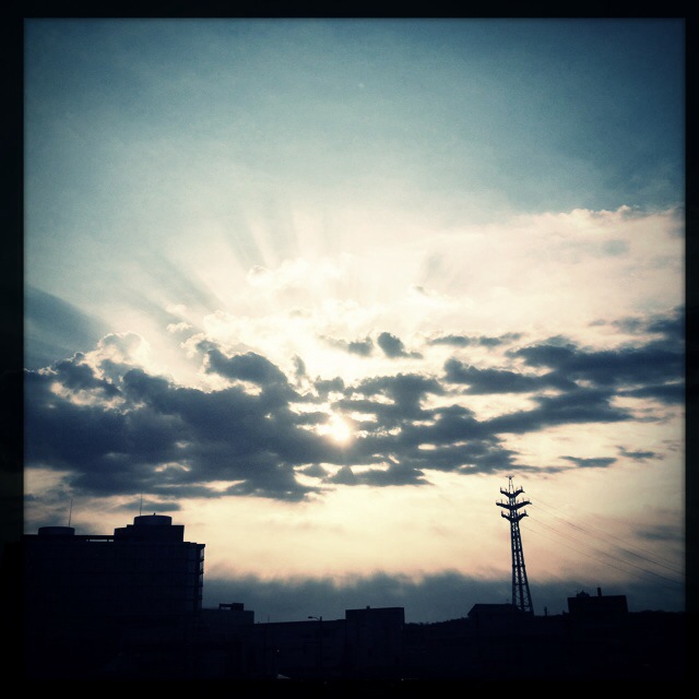
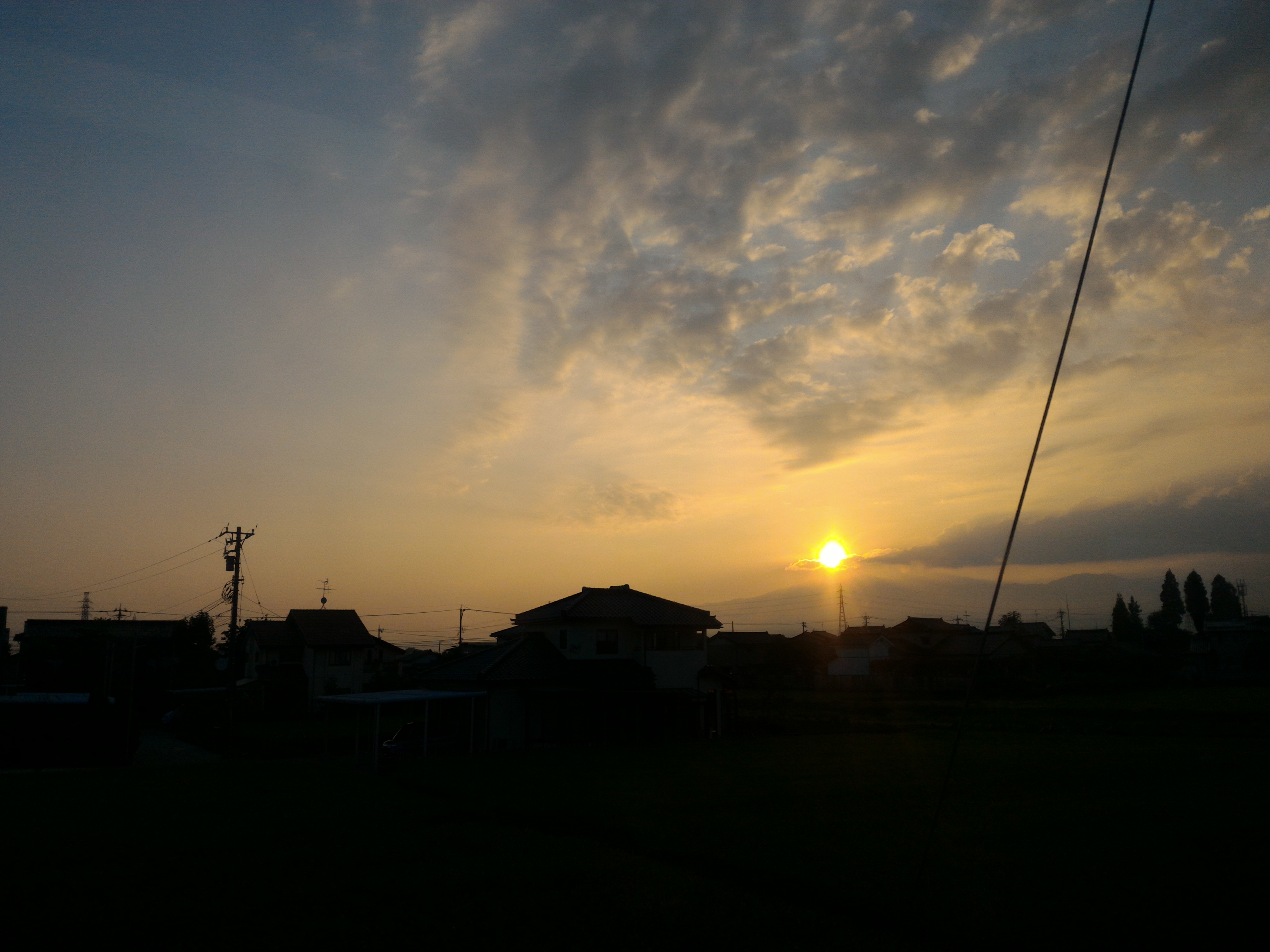
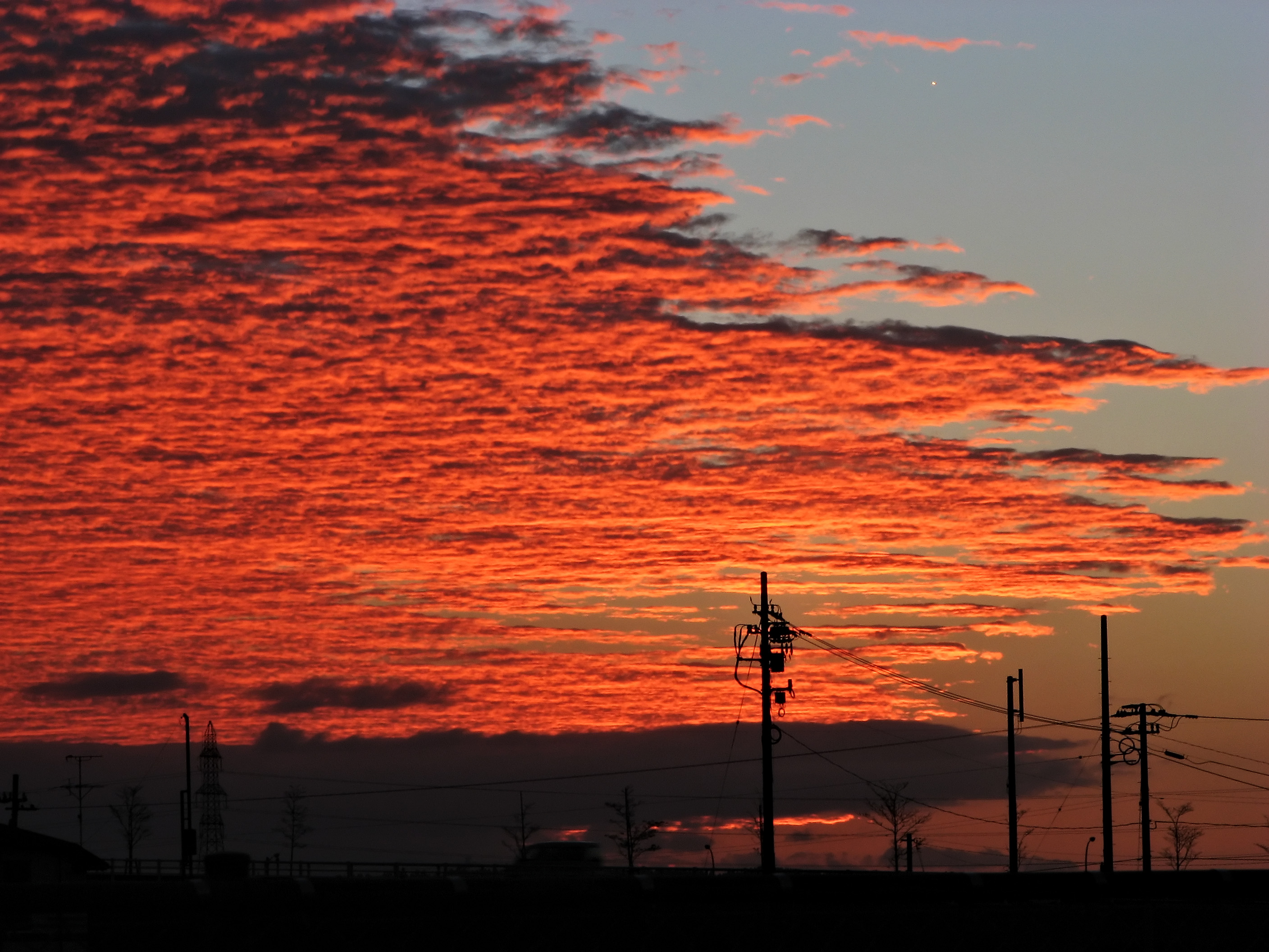
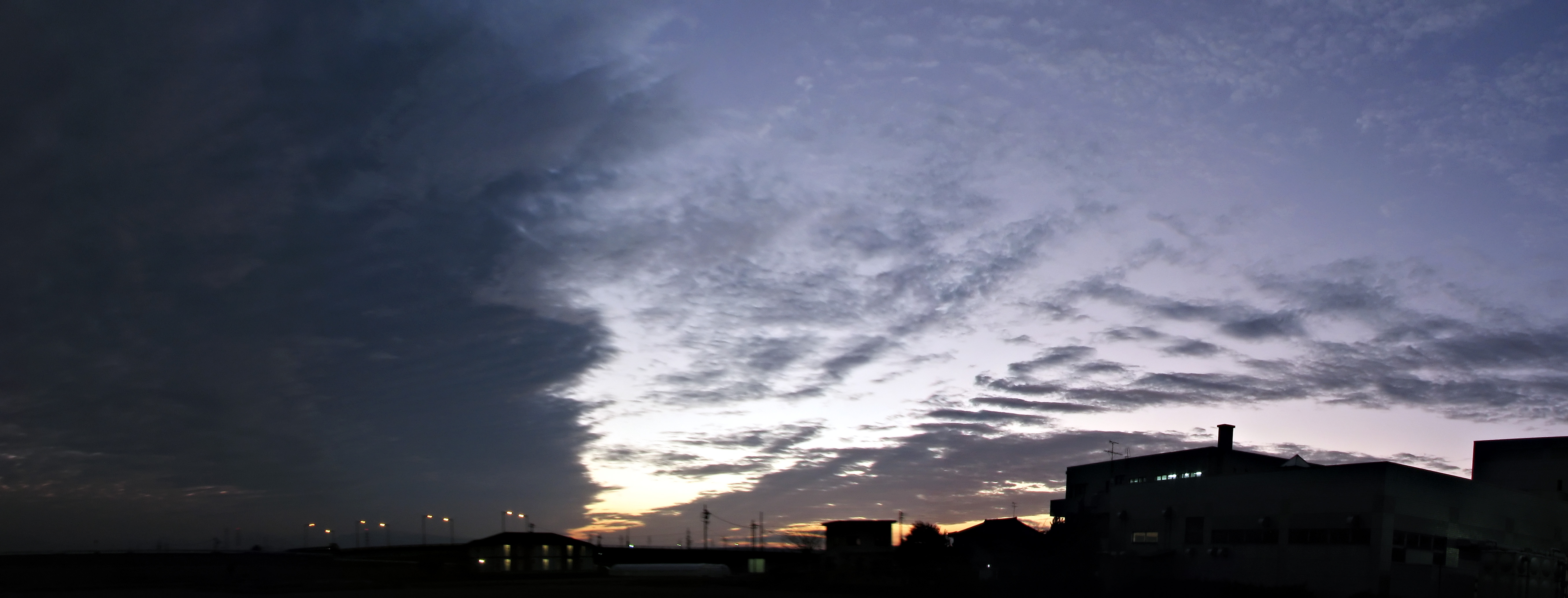
Sunrise & Sunset Photos
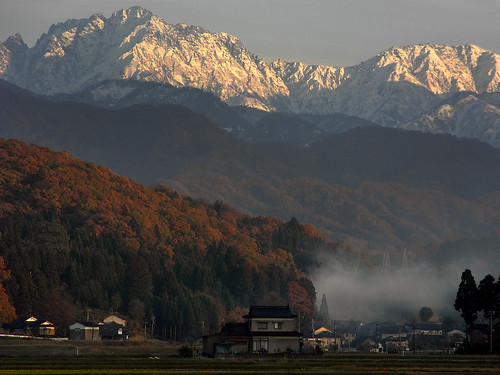
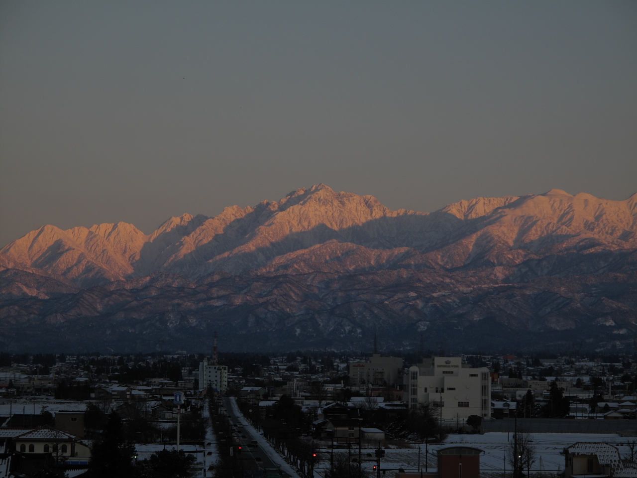
Mt. Tsurugi at sunset

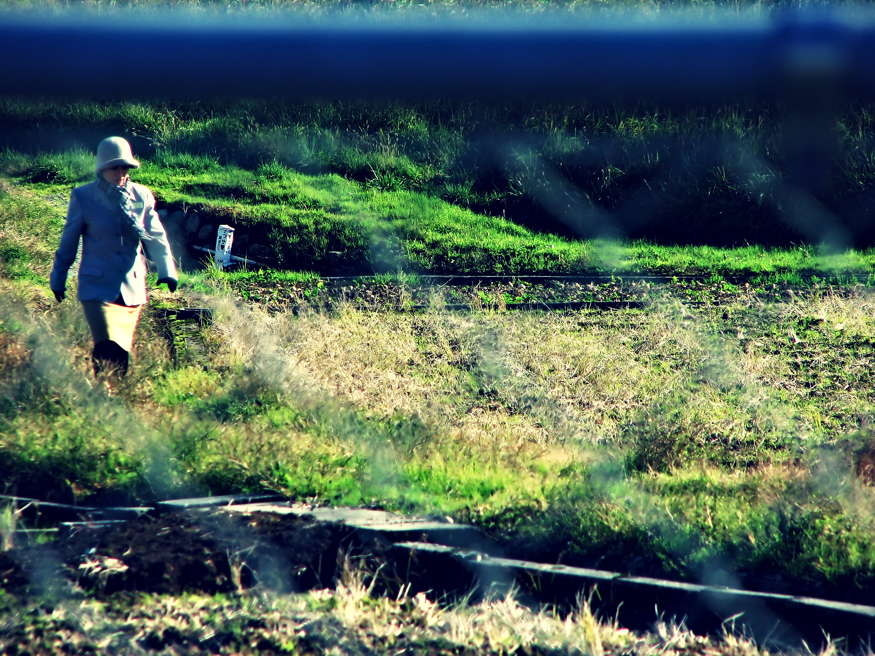
Awasuno skiing area is my workplace.
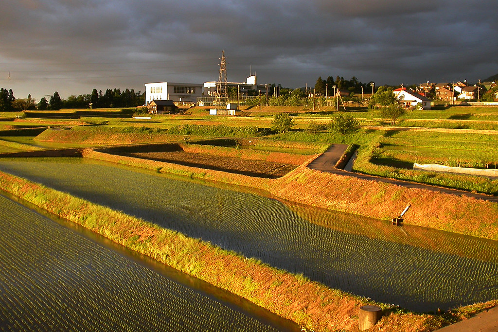
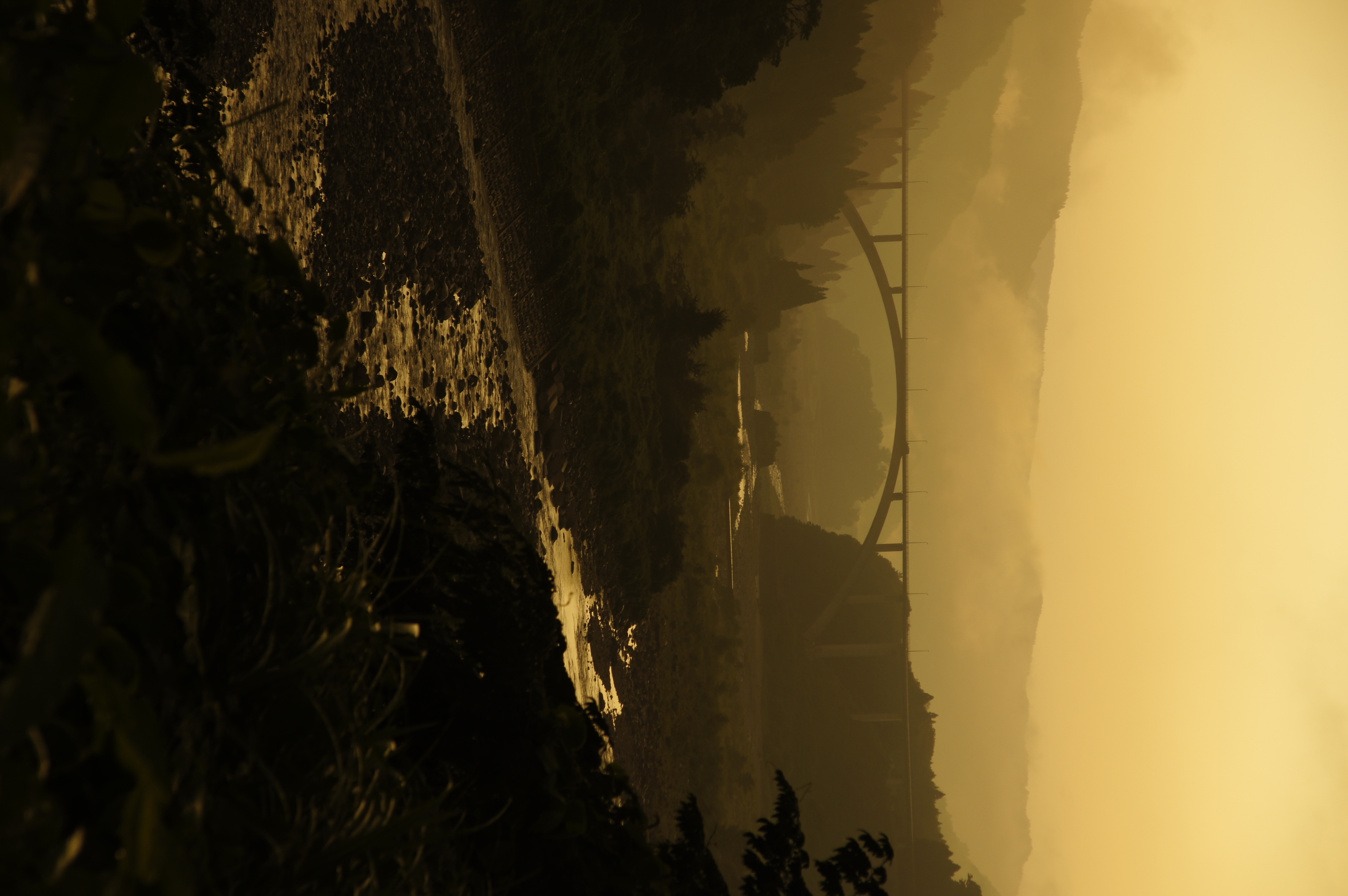
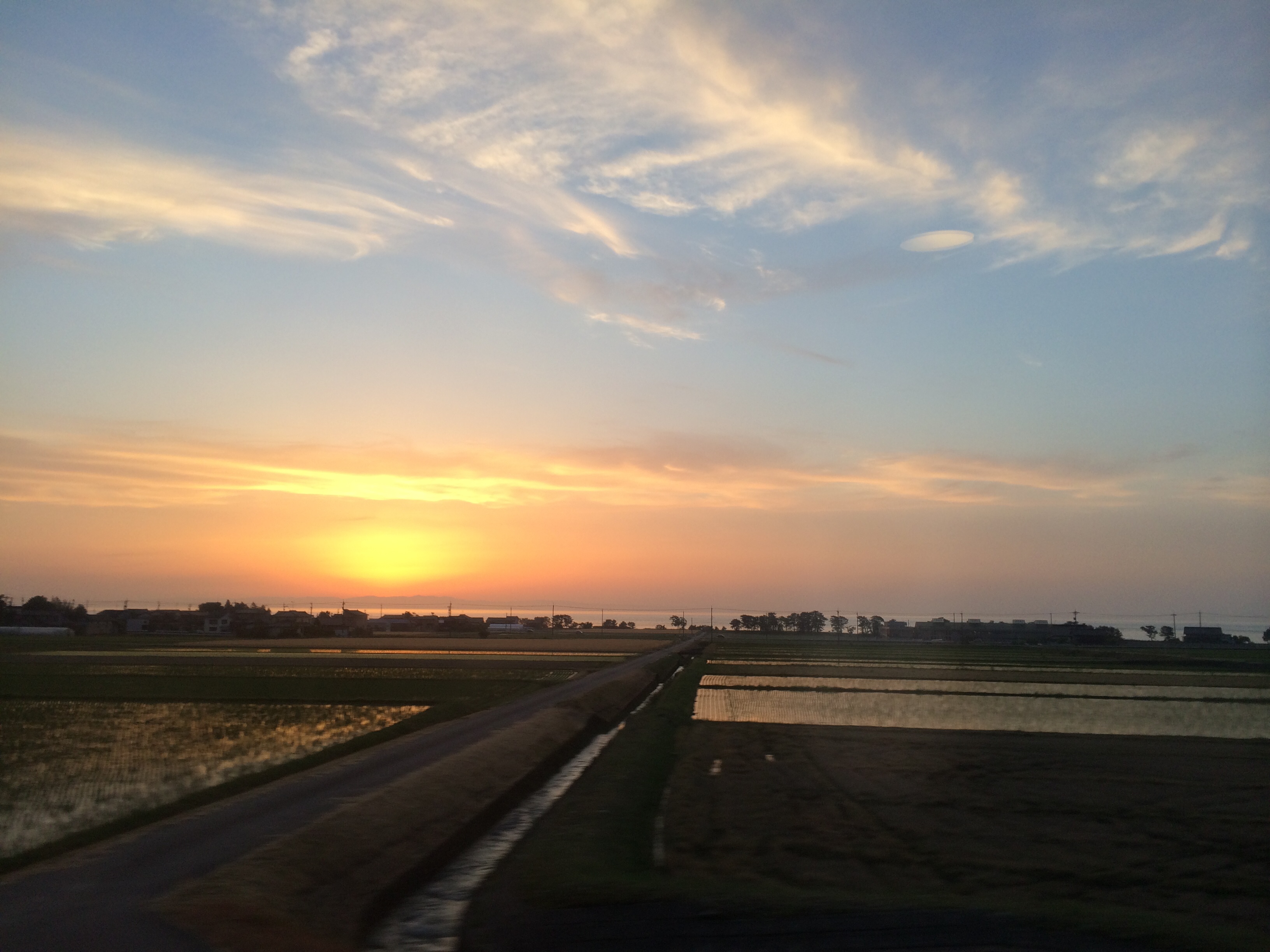
Rice fields at sunset
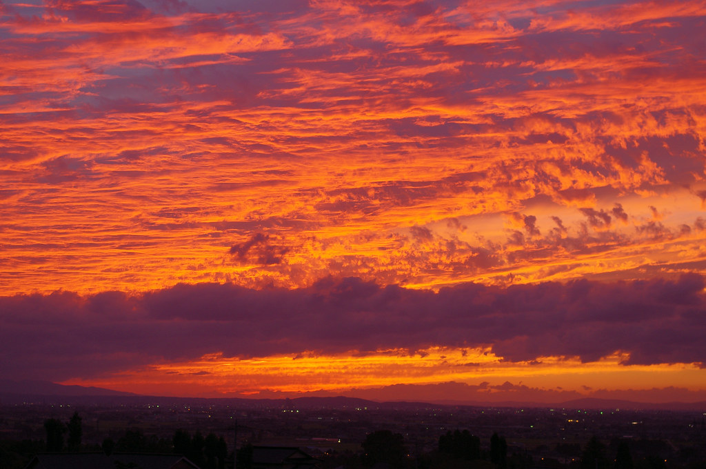
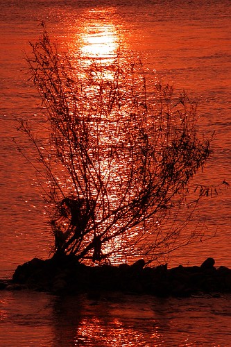
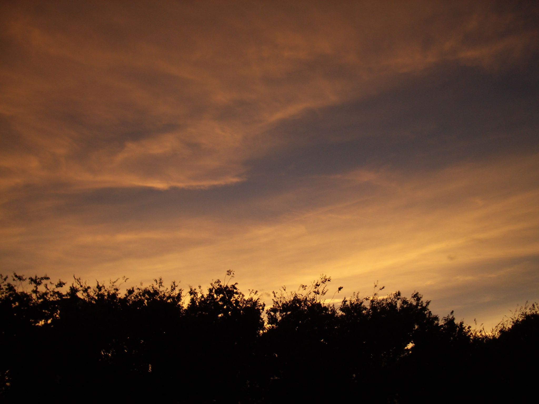
Burning sky
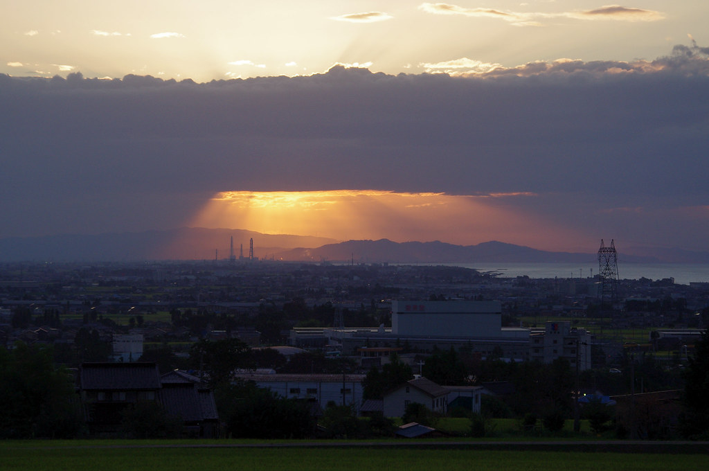
Angel's Ladder
Mt.Tateyama2011
Jinzu-river Sunset
夕暮れ
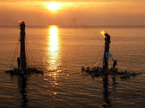
Nebuta-Nagashi 2008
#sunset
朝陽に照らし出される白馬岳(たぶん)

dyed sunset

Nebuta-Nagashi 2014
Outside the GEC

In my hands, there is a light.

Nebuta-Nagashi 2012
Outside GEC
Outside the GEC
Tateyama renpou(Tateyama mountain range)
typhoon passed away (2)
カメラロール-245
Tateyama, Nakaniikawa District, Toyama Prefecture, Japan Map
Search another place
Places in Tateyama, Nakaniikawa District, Toyama Prefecture, Japan
Ashikuraji, Tateyama, Nakaniikawa District, Toyama Prefecture -, Japan
Kaminaka, Tateyama, Nakaniikawa District, Toyama, Japan
Murodo, Ashikuraji, Tateyama, Nakaniikawa District, Toyama -, Japan
Near Places
Kaminaka, Tateyama, Nakaniikawa District, Toyama, Japan
(株)宝水, Kaminaka, Tateyama, Nakaniikawa-gun, Toyama -, Japan
Fujinokisonomachi, Toyama, -, Japan
Nakadaki, Toyama-shi, Toyama-ken -, Japan
1 Hōonji, Kamiichi-machi, Nakaniikawa-gun, Toyama-ken -, Japan
Japan, 〒- Toyama-ken, Nakaniikawa-gun, Kamiichi-machi, Hōonji 北アルプス文化センター
Kamiichi, Nakaniikawa District, Toyama Prefecture, Japan
Ippongi, Toyama, -, Japan
Ippongi Community Center, Ippongi, Toyama, -, Japan
Horikawatenzanmachi, Toyama, -, Japan
8 Hongōmachi, Toyama, -, Japan
Oizumi 1 Ku Nanbu, Toyama, -, Japan
2 Chome-11 Inari Motomachi, Toyama, -, Japan
アピアショッピングセンター, 2 Chome-11-1 Inari Motomachi, 稲荷元町 Toyama-shi, Toyama-ken -, Japan
Oizumi 1 Ku Nanbu Oizumi, Toyama, Toyama Prefecture -, Japan
7 Shinsakuramachi, Toyama, -, Japan
Toyama, Toyama Prefecture, Japan
Toyama City Hall, Japan, 〒- Toyama-ken, Toyama-shi, Shinsakuramachi, 7−7番38
Toyama Prefecture, Japan
Toyama Prefectural Police Headquarters, 1-7 Shinsōgawa, Toyama, -, Japan
Recent Searches
- Sunrise Sunset Times of Unnamed Road, Respublika Severnaya Osetiya — Alaniya, Russia
- Sunrise Sunset Times of Herbage Dr, Gulfport, MS, USA
- Sunrise Sunset Times of Pointe-au-Père, Rimouski, QC, Canada
- Sunrise Sunset Times of -, Japan
- Sunrise Sunset Times of Wyndham Grand Barbados Sam Lords Castle All Inclusive Resort, End of Belair Road, Long Bay, Bridgeto
- Sunrise Sunset Times of Satsugeki, Japan, 〒- Hokkaido, Sapporo, Chuo Ward, Minami 2 Jōnishi, 5-chōme−6−1 狸小路5丁目内
- Sunrise Sunset Times of Feixiang District, Handan, Hebei, China
- Sunrise Sunset Times of Hefei High-Tech Dev Zone CMC, Shushan District, Hefei, Anhui, China
- Sunrise Sunset Times of Longfeng Fishing Harbor, No. 15號, Lane, Longjiang St, Zhunan Township, Miaoli County, Taiwan
- Sunrise Sunset Times of New Synagogue, Szeged, Jósika u. 10, Hungary