Sunrise Sunset Times of Sand Lick Road, Sand Lick Rd, Kentucky, USA
Location: United States > Kentucky >
Timezone:
America/New_York
Current Time:
2024-04-19 02:01:27
Longitude:
-84.0016654
Latitude:
37.5278359
Sunrise Today:
06:54:17 AM
Sunset Today:
08:15:36 PM
Daylength Today:
13h 21m 19s
Sunrise Tomorrow:
06:52:57 AM
Sunset Tomorrow:
08:16:30 PM
Daylength Tomorrow:
13h 23m 33s
Year Show All Dates
| Date | Sunrise | Sunset | Daylength |
|---|---|---|---|
| 01/01/2024 | 07:50:43 AM | 05:28:50 PM | 9h 38m 7s |
| 01/02/2024 | 07:50:50 AM | 05:29:38 PM | 9h 38m 48s |
| 01/03/2024 | 07:50:55 AM | 05:30:28 PM | 9h 39m 33s |
| 01/04/2024 | 07:50:58 AM | 05:31:20 PM | 9h 40m 22s |
| 01/05/2024 | 07:50:59 AM | 05:32:12 PM | 9h 41m 13s |
| 01/06/2024 | 07:50:58 AM | 05:33:05 PM | 9h 42m 7s |
| 01/07/2024 | 07:50:55 AM | 05:34:00 PM | 9h 43m 5s |
| 01/08/2024 | 07:50:50 AM | 05:34:56 PM | 9h 44m 6s |
| 01/09/2024 | 07:50:43 AM | 05:35:52 PM | 9h 45m 9s |
| 01/10/2024 | 07:50:34 AM | 05:36:50 PM | 9h 46m 16s |
| 01/11/2024 | 07:50:23 AM | 05:37:48 PM | 9h 47m 25s |
| 01/12/2024 | 07:50:09 AM | 05:38:48 PM | 9h 48m 39s |
| 01/13/2024 | 07:49:54 AM | 05:39:48 PM | 9h 49m 54s |
| 01/14/2024 | 07:49:36 AM | 05:40:49 PM | 9h 51m 13s |
| 01/15/2024 | 07:49:17 AM | 05:41:50 PM | 9h 52m 33s |
| 01/16/2024 | 07:48:56 AM | 05:42:52 PM | 9h 53m 56s |
| 01/17/2024 | 07:48:32 AM | 05:43:55 PM | 9h 55m 23s |
| 01/18/2024 | 07:48:07 AM | 05:44:58 PM | 9h 56m 51s |
| 01/19/2024 | 07:47:39 AM | 05:46:02 PM | 9h 58m 23s |
| 01/20/2024 | 07:47:10 AM | 05:47:06 PM | 9h 59m 56s |
| 01/21/2024 | 07:46:39 AM | 05:48:11 PM | 10h 1m 32s |
| 01/22/2024 | 07:46:06 AM | 05:49:16 PM | 10h 3m 10s |
| 01/23/2024 | 07:45:31 AM | 05:50:21 PM | 10h 4m 50s |
| 01/24/2024 | 07:44:54 AM | 05:51:27 PM | 10h 6m 33s |
| 01/25/2024 | 07:44:16 AM | 05:52:33 PM | 10h 8m 17s |
| 01/26/2024 | 07:43:35 AM | 05:53:39 PM | 10h 10m 4s |
| 01/27/2024 | 07:42:53 AM | 05:54:45 PM | 10h 11m 52s |
| 01/28/2024 | 07:42:09 AM | 05:55:51 PM | 10h 13m 42s |
| 01/29/2024 | 07:41:23 AM | 05:56:58 PM | 10h 15m 35s |
| 01/30/2024 | 07:40:36 AM | 05:58:04 PM | 10h 17m 28s |
| 01/31/2024 | 07:39:47 AM | 05:59:10 PM | 10h 19m 23s |
| 02/01/2024 | 07:38:56 AM | 06:00:17 PM | 10h 21m 21s |
| 02/02/2024 | 07:38:04 AM | 06:01:23 PM | 10h 23m 19s |
| 02/03/2024 | 07:37:11 AM | 06:02:30 PM | 10h 25m 19s |
| 02/04/2024 | 07:36:15 AM | 06:03:36 PM | 10h 27m 21s |
| 02/05/2024 | 07:35:18 AM | 06:04:42 PM | 10h 29m 24s |
| 02/06/2024 | 07:34:20 AM | 06:05:48 PM | 10h 31m 28s |
| 02/07/2024 | 07:33:20 AM | 06:06:54 PM | 10h 33m 34s |
| 02/08/2024 | 07:32:19 AM | 06:08:00 PM | 10h 35m 41s |
| 02/09/2024 | 07:31:17 AM | 06:09:05 PM | 10h 37m 48s |
| 02/10/2024 | 07:30:13 AM | 06:10:11 PM | 10h 39m 58s |
| 02/11/2024 | 07:29:08 AM | 06:11:16 PM | 10h 42m 8s |
| 02/12/2024 | 07:28:01 AM | 06:12:21 PM | 10h 44m 20s |
| 02/13/2024 | 07:26:54 AM | 06:13:25 PM | 10h 46m 31s |
| 02/14/2024 | 07:25:45 AM | 06:14:29 PM | 10h 48m 44s |
| 02/15/2024 | 07:24:35 AM | 06:15:33 PM | 10h 50m 58s |
| 02/16/2024 | 07:23:24 AM | 06:16:37 PM | 10h 53m 13s |
| 02/17/2024 | 07:22:11 AM | 06:17:41 PM | 10h 55m 30s |
| 02/18/2024 | 07:20:58 AM | 06:18:44 PM | 10h 57m 46s |
| 02/19/2024 | 07:19:43 AM | 06:19:47 PM | 11h 0m 4s |
| 02/20/2024 | 07:18:28 AM | 06:20:49 PM | 11h 2m 21s |
| 02/21/2024 | 07:17:12 AM | 06:21:51 PM | 11h 4m 39s |
| 02/22/2024 | 07:15:54 AM | 06:22:53 PM | 11h 6m 59s |
| 02/23/2024 | 07:14:36 AM | 06:23:55 PM | 11h 9m 19s |
| 02/24/2024 | 07:13:17 AM | 06:24:56 PM | 11h 11m 39s |
| 02/25/2024 | 07:11:57 AM | 06:25:57 PM | 11h 14m 0s |
| 02/26/2024 | 07:10:36 AM | 06:26:58 PM | 11h 16m 22s |
| 02/27/2024 | 07:09:15 AM | 06:27:58 PM | 11h 18m 43s |
| 02/28/2024 | 07:07:52 AM | 06:28:58 PM | 11h 21m 6s |
| 02/29/2024 | 07:06:29 AM | 06:29:57 PM | 11h 23m 28s |
| 03/01/2024 | 07:05:06 AM | 06:30:57 PM | 11h 25m 51s |
| 03/02/2024 | 07:03:41 AM | 06:31:56 PM | 11h 28m 15s |
| 03/03/2024 | 07:02:16 AM | 06:32:55 PM | 11h 30m 39s |
| 03/04/2024 | 07:00:51 AM | 06:33:53 PM | 11h 33m 2s |
| 03/05/2024 | 06:59:25 AM | 06:34:51 PM | 11h 35m 26s |
| 03/06/2024 | 06:57:58 AM | 06:35:49 PM | 11h 37m 51s |
| 03/07/2024 | 06:56:31 AM | 06:36:47 PM | 11h 40m 16s |
| 03/08/2024 | 06:55:03 AM | 06:37:44 PM | 11h 42m 41s |
| 03/09/2024 | 06:53:35 AM | 06:38:41 PM | 11h 45m 6s |
| 03/10/2024 | 07:52:11 AM | 07:39:36 PM | 11h 47m 25s |
| 03/11/2024 | 07:50:42 AM | 07:40:32 PM | 11h 49m 50s |
| 03/12/2024 | 07:49:13 AM | 07:41:29 PM | 11h 52m 16s |
| 03/13/2024 | 07:47:44 AM | 07:42:25 PM | 11h 54m 41s |
| 03/14/2024 | 07:46:14 AM | 07:43:21 PM | 11h 57m 7s |
| 03/15/2024 | 07:44:44 AM | 07:44:17 PM | 11h 59m 33s |
| 03/16/2024 | 07:43:14 AM | 07:45:12 PM | 12h 1m 58s |
| 03/17/2024 | 07:41:44 AM | 07:46:08 PM | 12h 4m 24s |
| 03/18/2024 | 07:40:13 AM | 07:47:03 PM | 12h 6m 50s |
| 03/19/2024 | 07:38:43 AM | 07:47:58 PM | 12h 9m 15s |
| 03/20/2024 | 07:37:12 AM | 07:48:53 PM | 12h 11m 41s |
| 03/21/2024 | 07:35:41 AM | 07:49:48 PM | 12h 14m 7s |
| 03/22/2024 | 07:34:11 AM | 07:50:43 PM | 12h 16m 32s |
| 03/23/2024 | 07:32:40 AM | 07:51:38 PM | 12h 18m 58s |
| 03/24/2024 | 07:31:09 AM | 07:52:32 PM | 12h 21m 23s |
| 03/25/2024 | 07:29:38 AM | 07:53:27 PM | 12h 23m 49s |
| 03/26/2024 | 07:28:08 AM | 07:54:21 PM | 12h 26m 13s |
| 03/27/2024 | 07:26:37 AM | 07:55:15 PM | 12h 28m 38s |
| 03/28/2024 | 07:25:07 AM | 07:56:09 PM | 12h 31m 2s |
| 03/29/2024 | 07:23:37 AM | 07:57:04 PM | 12h 33m 27s |
| 03/30/2024 | 07:22:07 AM | 07:57:58 PM | 12h 35m 51s |
| 03/31/2024 | 07:20:37 AM | 07:58:52 PM | 12h 38m 15s |
| 04/01/2024 | 07:19:08 AM | 07:59:46 PM | 12h 40m 38s |
| 04/02/2024 | 07:17:39 AM | 08:00:40 PM | 12h 43m 1s |
| 04/03/2024 | 07:16:10 AM | 08:01:34 PM | 12h 45m 24s |
| 04/04/2024 | 07:14:41 AM | 08:02:28 PM | 12h 47m 47s |
| 04/05/2024 | 07:13:13 AM | 08:03:22 PM | 12h 50m 9s |
| 04/06/2024 | 07:11:45 AM | 08:04:16 PM | 12h 52m 31s |
| 04/07/2024 | 07:10:18 AM | 08:05:11 PM | 12h 54m 53s |
| 04/08/2024 | 07:08:51 AM | 08:06:05 PM | 12h 57m 14s |
| 04/09/2024 | 07:07:25 AM | 08:06:59 PM | 12h 59m 34s |
| 04/10/2024 | 07:05:59 AM | 08:07:53 PM | 13h 1m 54s |
| 04/11/2024 | 07:04:34 AM | 08:08:47 PM | 13h 4m 13s |
| 04/12/2024 | 07:03:10 AM | 08:09:42 PM | 13h 6m 32s |
| 04/13/2024 | 07:01:46 AM | 08:10:36 PM | 13h 8m 50s |
| 04/14/2024 | 07:00:22 AM | 08:11:30 PM | 13h 11m 8s |
| 04/15/2024 | 06:59:00 AM | 08:12:25 PM | 13h 13m 25s |
| 04/16/2024 | 06:57:38 AM | 08:13:19 PM | 13h 15m 41s |
| 04/17/2024 | 06:56:17 AM | 08:14:14 PM | 13h 17m 57s |
| 04/18/2024 | 06:54:56 AM | 08:15:08 PM | 13h 20m 12s |
| 04/19/2024 | 06:53:37 AM | 08:16:03 PM | 13h 22m 26s |
| 04/20/2024 | 06:52:18 AM | 08:16:58 PM | 13h 24m 40s |
| 04/21/2024 | 06:51:00 AM | 08:17:52 PM | 13h 26m 52s |
| 04/22/2024 | 06:49:43 AM | 08:18:47 PM | 13h 29m 4s |
| 04/23/2024 | 06:48:27 AM | 08:19:42 PM | 13h 31m 15s |
| 04/24/2024 | 06:47:12 AM | 08:20:36 PM | 13h 33m 24s |
| 04/25/2024 | 06:45:58 AM | 08:21:31 PM | 13h 35m 33s |
| 04/26/2024 | 06:44:45 AM | 08:22:26 PM | 13h 37m 41s |
| 04/27/2024 | 06:43:33 AM | 08:23:20 PM | 13h 39m 47s |
| 04/28/2024 | 06:42:22 AM | 08:24:15 PM | 13h 41m 53s |
| 04/29/2024 | 06:41:12 AM | 08:25:09 PM | 13h 43m 57s |
| 04/30/2024 | 06:40:03 AM | 08:26:04 PM | 13h 46m 1s |
| 05/01/2024 | 06:38:55 AM | 08:26:58 PM | 13h 48m 3s |
| 05/02/2024 | 06:37:49 AM | 08:27:53 PM | 13h 50m 4s |
| 05/03/2024 | 06:36:43 AM | 08:28:47 PM | 13h 52m 4s |
| 05/04/2024 | 06:35:39 AM | 08:29:41 PM | 13h 54m 2s |
| 05/05/2024 | 06:34:37 AM | 08:30:35 PM | 13h 55m 58s |
| 05/06/2024 | 06:33:35 AM | 08:31:29 PM | 13h 57m 54s |
| 05/07/2024 | 06:32:35 AM | 08:32:23 PM | 13h 59m 48s |
| 05/08/2024 | 06:31:36 AM | 08:33:16 PM | 14h 1m 40s |
| 05/09/2024 | 06:30:39 AM | 08:34:09 PM | 14h 3m 30s |
| 05/10/2024 | 06:29:43 AM | 08:35:02 PM | 14h 5m 19s |
| 05/11/2024 | 06:28:48 AM | 08:35:55 PM | 14h 7m 7s |
| 05/12/2024 | 06:27:55 AM | 08:36:47 PM | 14h 8m 52s |
| 05/13/2024 | 06:27:04 AM | 08:37:39 PM | 14h 10m 35s |
| 05/14/2024 | 06:26:14 AM | 08:38:31 PM | 14h 12m 17s |
| 05/15/2024 | 06:25:25 AM | 08:39:22 PM | 14h 13m 57s |
| 05/16/2024 | 06:24:38 AM | 08:40:13 PM | 14h 15m 35s |
| 05/17/2024 | 06:23:53 AM | 08:41:03 PM | 14h 17m 10s |
| 05/18/2024 | 06:23:09 AM | 08:41:53 PM | 14h 18m 44s |
| 05/19/2024 | 06:22:27 AM | 08:42:42 PM | 14h 20m 15s |
| 05/20/2024 | 06:21:46 AM | 08:43:31 PM | 14h 21m 45s |
| 05/21/2024 | 06:21:07 AM | 08:44:19 PM | 14h 23m 12s |
| 05/22/2024 | 06:20:30 AM | 08:45:06 PM | 14h 24m 36s |
| 05/23/2024 | 06:19:54 AM | 08:45:53 PM | 14h 25m 59s |
| 05/24/2024 | 06:19:20 AM | 08:46:39 PM | 14h 27m 19s |
| 05/25/2024 | 06:18:48 AM | 08:47:25 PM | 14h 28m 37s |
| 05/26/2024 | 06:18:17 AM | 08:48:09 PM | 14h 29m 52s |
| 05/27/2024 | 06:17:49 AM | 08:48:53 PM | 14h 31m 4s |
| 05/28/2024 | 06:17:22 AM | 08:49:36 PM | 14h 32m 14s |
| 05/29/2024 | 06:16:57 AM | 08:50:18 PM | 14h 33m 21s |
| 05/30/2024 | 06:16:33 AM | 08:50:59 PM | 14h 34m 26s |
| 05/31/2024 | 06:16:12 AM | 08:51:39 PM | 14h 35m 27s |
| 06/01/2024 | 06:15:52 AM | 08:52:18 PM | 14h 36m 26s |
| 06/02/2024 | 06:15:34 AM | 08:52:56 PM | 14h 37m 22s |
| 06/03/2024 | 06:15:17 AM | 08:53:33 PM | 14h 38m 16s |
| 06/04/2024 | 06:15:03 AM | 08:54:09 PM | 14h 39m 6s |
| 06/05/2024 | 06:14:50 AM | 08:54:43 PM | 14h 39m 53s |
| 06/06/2024 | 06:14:39 AM | 08:55:17 PM | 14h 40m 38s |
| 06/07/2024 | 06:14:30 AM | 08:55:49 PM | 14h 41m 19s |
| 06/08/2024 | 06:14:23 AM | 08:56:20 PM | 14h 41m 57s |
| 06/09/2024 | 06:14:17 AM | 08:56:50 PM | 14h 42m 33s |
| 06/10/2024 | 06:14:13 AM | 08:57:18 PM | 14h 43m 5s |
| 06/11/2024 | 06:14:11 AM | 08:57:45 PM | 14h 43m 34s |
| 06/12/2024 | 06:14:11 AM | 08:58:10 PM | 14h 43m 59s |
| 06/13/2024 | 06:14:13 AM | 08:58:34 PM | 14h 44m 21s |
| 06/14/2024 | 06:14:16 AM | 08:58:57 PM | 14h 44m 41s |
| 06/15/2024 | 06:14:21 AM | 08:59:18 PM | 14h 44m 57s |
| 06/16/2024 | 06:14:27 AM | 08:59:37 PM | 14h 45m 10s |
| 06/17/2024 | 06:14:35 AM | 08:59:55 PM | 14h 45m 20s |
| 06/18/2024 | 06:14:45 AM | 09:00:11 PM | 14h 45m 26s |
| 06/19/2024 | 06:14:57 AM | 09:00:26 PM | 14h 45m 29s |
| 06/20/2024 | 06:15:10 AM | 09:00:39 PM | 14h 45m 29s |
| 06/21/2024 | 06:15:25 AM | 09:00:50 PM | 14h 45m 25s |
| 06/22/2024 | 06:15:41 AM | 09:01:00 PM | 14h 45m 19s |
| 06/23/2024 | 06:15:59 AM | 09:01:08 PM | 14h 45m 9s |
| 06/24/2024 | 06:16:18 AM | 09:01:14 PM | 14h 44m 56s |
| 06/25/2024 | 06:16:39 AM | 09:01:18 PM | 14h 44m 39s |
| 06/26/2024 | 06:17:01 AM | 09:01:21 PM | 14h 44m 20s |
| 06/27/2024 | 06:17:25 AM | 09:01:22 PM | 14h 43m 57s |
| 06/28/2024 | 06:17:50 AM | 09:01:21 PM | 14h 43m 31s |
| 06/29/2024 | 06:18:16 AM | 09:01:18 PM | 14h 43m 2s |
| 06/30/2024 | 06:18:44 AM | 09:01:14 PM | 14h 42m 30s |
| 07/01/2024 | 06:19:13 AM | 09:01:07 PM | 14h 41m 54s |
| 07/02/2024 | 06:19:43 AM | 09:00:59 PM | 14h 41m 16s |
| 07/03/2024 | 06:20:14 AM | 09:00:49 PM | 14h 40m 35s |
| 07/04/2024 | 06:20:47 AM | 09:00:37 PM | 14h 39m 50s |
| 07/05/2024 | 06:21:20 AM | 09:00:24 PM | 14h 39m 4s |
| 07/06/2024 | 06:21:55 AM | 09:00:08 PM | 14h 38m 13s |
| 07/07/2024 | 06:22:31 AM | 08:59:51 PM | 14h 37m 20s |
| 07/08/2024 | 06:23:08 AM | 08:59:32 PM | 14h 36m 24s |
| 07/09/2024 | 06:23:45 AM | 08:59:11 PM | 14h 35m 26s |
| 07/10/2024 | 06:24:24 AM | 08:58:48 PM | 14h 34m 24s |
| 07/11/2024 | 06:25:04 AM | 08:58:23 PM | 14h 33m 19s |
| 07/12/2024 | 06:25:44 AM | 08:57:57 PM | 14h 32m 13s |
| 07/13/2024 | 06:26:25 AM | 08:57:29 PM | 14h 31m 4s |
| 07/14/2024 | 06:27:08 AM | 08:56:59 PM | 14h 29m 51s |
| 07/15/2024 | 06:27:50 AM | 08:56:27 PM | 14h 28m 37s |
| 07/16/2024 | 06:28:34 AM | 08:55:53 PM | 14h 27m 19s |
| 07/17/2024 | 06:29:18 AM | 08:55:18 PM | 14h 26m 0s |
| 07/18/2024 | 06:30:03 AM | 08:54:41 PM | 14h 24m 38s |
| 07/19/2024 | 06:30:48 AM | 08:54:02 PM | 14h 23m 14s |
| 07/20/2024 | 06:31:34 AM | 08:53:22 PM | 14h 21m 48s |
| 07/21/2024 | 06:32:21 AM | 08:52:40 PM | 14h 20m 19s |
| 07/22/2024 | 06:33:08 AM | 08:51:56 PM | 14h 18m 48s |
| 07/23/2024 | 06:33:55 AM | 08:51:11 PM | 14h 17m 16s |
| 07/24/2024 | 06:34:43 AM | 08:50:24 PM | 14h 15m 41s |
| 07/25/2024 | 06:35:31 AM | 08:49:35 PM | 14h 14m 4s |
| 07/26/2024 | 06:36:20 AM | 08:48:45 PM | 14h 12m 25s |
| 07/27/2024 | 06:37:09 AM | 08:47:54 PM | 14h 10m 45s |
| 07/28/2024 | 06:37:58 AM | 08:47:00 PM | 14h 9m 2s |
| 07/29/2024 | 06:38:48 AM | 08:46:06 PM | 14h 7m 18s |
| 07/30/2024 | 06:39:38 AM | 08:45:10 PM | 14h 5m 32s |
| 07/31/2024 | 06:40:28 AM | 08:44:12 PM | 14h 3m 44s |
| 08/01/2024 | 06:41:18 AM | 08:43:13 PM | 14h 1m 55s |
| 08/02/2024 | 06:42:08 AM | 08:42:13 PM | 14h 0m 5s |
| 08/03/2024 | 06:42:59 AM | 08:41:11 PM | 13h 58m 12s |
| 08/04/2024 | 06:43:50 AM | 08:40:08 PM | 13h 56m 18s |
| 08/05/2024 | 06:44:40 AM | 08:39:04 PM | 13h 54m 24s |
| 08/06/2024 | 06:45:31 AM | 08:37:58 PM | 13h 52m 27s |
| 08/07/2024 | 06:46:22 AM | 08:36:51 PM | 13h 50m 29s |
| 08/08/2024 | 06:47:13 AM | 08:35:43 PM | 13h 48m 30s |
| 08/09/2024 | 06:48:05 AM | 08:34:34 PM | 13h 46m 29s |
| 08/10/2024 | 06:48:56 AM | 08:33:23 PM | 13h 44m 27s |
| 08/11/2024 | 06:49:47 AM | 08:32:11 PM | 13h 42m 24s |
| 08/12/2024 | 06:50:38 AM | 08:30:59 PM | 13h 40m 21s |
| 08/13/2024 | 06:51:29 AM | 08:29:45 PM | 13h 38m 16s |
| 08/14/2024 | 06:52:20 AM | 08:28:30 PM | 13h 36m 10s |
| 08/15/2024 | 06:53:11 AM | 08:27:14 PM | 13h 34m 3s |
| 08/16/2024 | 06:54:02 AM | 08:25:57 PM | 13h 31m 55s |
| 08/17/2024 | 06:54:53 AM | 08:24:39 PM | 13h 29m 46s |
| 08/18/2024 | 06:55:44 AM | 08:23:21 PM | 13h 27m 37s |
| 08/19/2024 | 06:56:35 AM | 08:22:01 PM | 13h 25m 26s |
| 08/20/2024 | 06:57:26 AM | 08:20:40 PM | 13h 23m 14s |
| 08/21/2024 | 06:58:17 AM | 08:19:19 PM | 13h 21m 2s |
| 08/22/2024 | 06:59:07 AM | 08:17:57 PM | 13h 18m 50s |
| 08/23/2024 | 06:59:58 AM | 08:16:34 PM | 13h 16m 36s |
| 08/24/2024 | 07:00:48 AM | 08:15:10 PM | 13h 14m 22s |
| 08/25/2024 | 07:01:39 AM | 08:13:46 PM | 13h 12m 7s |
| 08/26/2024 | 07:02:29 AM | 08:12:21 PM | 13h 9m 52s |
| 08/27/2024 | 07:03:19 AM | 08:10:55 PM | 13h 7m 36s |
| 08/28/2024 | 07:04:10 AM | 08:09:28 PM | 13h 5m 18s |
| 08/29/2024 | 07:05:00 AM | 08:08:01 PM | 13h 3m 1s |
| 08/30/2024 | 07:05:50 AM | 08:06:34 PM | 13h 0m 44s |
| 08/31/2024 | 07:06:40 AM | 08:05:06 PM | 12h 58m 26s |
| 09/01/2024 | 07:07:30 AM | 08:03:37 PM | 12h 56m 7s |
| 09/02/2024 | 07:08:20 AM | 08:02:08 PM | 12h 53m 48s |
| 09/03/2024 | 07:09:10 AM | 08:00:38 PM | 12h 51m 28s |
| 09/04/2024 | 07:09:59 AM | 07:59:08 PM | 12h 49m 9s |
| 09/05/2024 | 07:10:49 AM | 07:57:38 PM | 12h 46m 49s |
| 09/06/2024 | 07:11:39 AM | 07:56:07 PM | 12h 44m 28s |
| 09/07/2024 | 07:12:29 AM | 07:54:36 PM | 12h 42m 7s |
| 09/08/2024 | 07:13:18 AM | 07:53:04 PM | 12h 39m 46s |
| 09/09/2024 | 07:14:08 AM | 07:51:32 PM | 12h 37m 24s |
| 09/10/2024 | 07:14:58 AM | 07:50:00 PM | 12h 35m 2s |
| 09/11/2024 | 07:15:48 AM | 07:48:28 PM | 12h 32m 40s |
| 09/12/2024 | 07:16:38 AM | 07:46:56 PM | 12h 30m 18s |
| 09/13/2024 | 07:17:27 AM | 07:45:23 PM | 12h 27m 56s |
| 09/14/2024 | 07:18:17 AM | 07:43:50 PM | 12h 25m 33s |
| 09/15/2024 | 07:19:07 AM | 07:42:18 PM | 12h 23m 11s |
| 09/16/2024 | 07:19:57 AM | 07:40:45 PM | 12h 20m 48s |
| 09/17/2024 | 07:20:47 AM | 07:39:12 PM | 12h 18m 25s |
| 09/18/2024 | 07:21:38 AM | 07:37:39 PM | 12h 16m 1s |
| 09/19/2024 | 07:22:28 AM | 07:36:06 PM | 12h 13m 38s |
| 09/20/2024 | 07:23:18 AM | 07:34:33 PM | 12h 11m 15s |
| 09/21/2024 | 07:24:09 AM | 07:33:00 PM | 12h 8m 51s |
| 09/22/2024 | 07:24:59 AM | 07:31:27 PM | 12h 6m 28s |
| 09/23/2024 | 07:25:50 AM | 07:29:54 PM | 12h 4m 4s |
| 09/24/2024 | 07:26:41 AM | 07:28:22 PM | 12h 1m 41s |
| 09/25/2024 | 07:27:32 AM | 07:26:50 PM | 11h 59m 18s |
| 09/26/2024 | 07:28:24 AM | 07:25:18 PM | 11h 56m 54s |
| 09/27/2024 | 07:29:15 AM | 07:23:46 PM | 11h 54m 31s |
| 09/28/2024 | 07:30:07 AM | 07:22:14 PM | 11h 52m 7s |
| 09/29/2024 | 07:30:59 AM | 07:20:43 PM | 11h 49m 44s |
| 09/30/2024 | 07:31:51 AM | 07:19:12 PM | 11h 47m 21s |
| 10/01/2024 | 07:32:44 AM | 07:17:41 PM | 11h 44m 57s |
| 10/02/2024 | 07:33:37 AM | 07:16:11 PM | 11h 42m 34s |
| 10/03/2024 | 07:34:29 AM | 07:14:41 PM | 11h 40m 12s |
| 10/04/2024 | 07:35:23 AM | 07:13:12 PM | 11h 37m 49s |
| 10/05/2024 | 07:36:16 AM | 07:11:43 PM | 11h 35m 27s |
| 10/06/2024 | 07:37:10 AM | 07:10:15 PM | 11h 33m 5s |
| 10/07/2024 | 07:38:04 AM | 07:08:47 PM | 11h 30m 43s |
| 10/08/2024 | 07:38:59 AM | 07:07:20 PM | 11h 28m 21s |
| 10/09/2024 | 07:39:53 AM | 07:05:53 PM | 11h 26m 0s |
| 10/10/2024 | 07:40:48 AM | 07:04:27 PM | 11h 23m 39s |
| 10/11/2024 | 07:41:44 AM | 07:03:02 PM | 11h 21m 18s |
| 10/12/2024 | 07:42:39 AM | 07:01:37 PM | 11h 18m 58s |
| 10/13/2024 | 07:43:35 AM | 07:00:14 PM | 11h 16m 39s |
| 10/14/2024 | 07:44:32 AM | 06:58:50 PM | 11h 14m 18s |
| 10/15/2024 | 07:45:28 AM | 06:57:28 PM | 11h 12m 0s |
| 10/16/2024 | 07:46:25 AM | 06:56:07 PM | 11h 9m 42s |
| 10/17/2024 | 07:47:23 AM | 06:54:46 PM | 11h 7m 23s |
| 10/18/2024 | 07:48:21 AM | 06:53:26 PM | 11h 5m 5s |
| 10/19/2024 | 07:49:19 AM | 06:52:08 PM | 11h 2m 49s |
| 10/20/2024 | 07:50:17 AM | 06:50:50 PM | 11h 0m 33s |
| 10/21/2024 | 07:51:16 AM | 06:49:33 PM | 10h 58m 17s |
| 10/22/2024 | 07:52:15 AM | 06:48:17 PM | 10h 56m 2s |
| 10/23/2024 | 07:53:14 AM | 06:47:03 PM | 10h 53m 49s |
| 10/24/2024 | 07:54:14 AM | 06:45:49 PM | 10h 51m 35s |
| 10/25/2024 | 07:55:14 AM | 06:44:37 PM | 10h 49m 23s |
| 10/26/2024 | 07:56:15 AM | 06:43:25 PM | 10h 47m 10s |
| 10/27/2024 | 07:57:16 AM | 06:42:15 PM | 10h 44m 59s |
| 10/28/2024 | 07:58:17 AM | 06:41:06 PM | 10h 42m 49s |
| 10/29/2024 | 07:59:18 AM | 06:39:58 PM | 10h 40m 40s |
| 10/30/2024 | 08:00:20 AM | 06:38:52 PM | 10h 38m 32s |
| 10/31/2024 | 08:01:21 AM | 06:37:47 PM | 10h 36m 26s |
| 11/01/2024 | 08:02:23 AM | 06:36:43 PM | 10h 34m 20s |
| 11/02/2024 | 08:03:26 AM | 06:35:41 PM | 10h 32m 15s |
| 11/03/2024 | 07:04:31 AM | 05:34:38 PM | 10h 30m 7s |
| 11/04/2024 | 07:05:34 AM | 05:33:38 PM | 10h 28m 4s |
| 11/05/2024 | 07:06:37 AM | 05:32:41 PM | 10h 26m 4s |
| 11/06/2024 | 07:07:40 AM | 05:31:44 PM | 10h 24m 4s |
| 11/07/2024 | 07:08:43 AM | 05:30:50 PM | 10h 22m 7s |
| 11/08/2024 | 07:09:46 AM | 05:29:56 PM | 10h 20m 10s |
| 11/09/2024 | 07:10:50 AM | 05:29:05 PM | 10h 18m 15s |
| 11/10/2024 | 07:11:53 AM | 05:28:15 PM | 10h 16m 22s |
| 11/11/2024 | 07:12:57 AM | 05:27:27 PM | 10h 14m 30s |
| 11/12/2024 | 07:14:00 AM | 05:26:40 PM | 10h 12m 40s |
| 11/13/2024 | 07:15:04 AM | 05:25:55 PM | 10h 10m 51s |
| 11/14/2024 | 07:16:07 AM | 05:25:12 PM | 10h 9m 5s |
| 11/15/2024 | 07:17:10 AM | 05:24:31 PM | 10h 7m 21s |
| 11/16/2024 | 07:18:13 AM | 05:23:52 PM | 10h 5m 39s |
| 11/17/2024 | 07:19:16 AM | 05:23:14 PM | 10h 3m 58s |
| 11/18/2024 | 07:20:19 AM | 05:22:39 PM | 10h 2m 20s |
| 11/19/2024 | 07:21:21 AM | 05:22:05 PM | 10h 0m 44s |
| 11/20/2024 | 07:22:23 AM | 05:21:33 PM | 9h 59m 10s |
| 11/21/2024 | 07:23:25 AM | 05:21:03 PM | 9h 57m 38s |
| 11/22/2024 | 07:24:26 AM | 05:20:35 PM | 9h 56m 9s |
| 11/23/2024 | 07:25:27 AM | 05:20:09 PM | 9h 54m 42s |
| 11/24/2024 | 07:26:28 AM | 05:19:45 PM | 9h 53m 17s |
| 11/25/2024 | 07:27:27 AM | 05:19:23 PM | 9h 51m 56s |
| 11/26/2024 | 07:28:27 AM | 05:19:03 PM | 9h 50m 36s |
| 11/27/2024 | 07:29:25 AM | 05:18:46 PM | 9h 49m 21s |
| 11/28/2024 | 07:30:23 AM | 05:18:30 PM | 9h 48m 7s |
| 11/29/2024 | 07:31:21 AM | 05:18:16 PM | 9h 46m 55s |
| 11/30/2024 | 07:32:17 AM | 05:18:04 PM | 9h 45m 47s |
| 12/01/2024 | 07:33:13 AM | 05:17:55 PM | 9h 44m 42s |
| 12/02/2024 | 07:34:08 AM | 05:17:48 PM | 9h 43m 40s |
| 12/03/2024 | 07:35:02 AM | 05:17:42 PM | 9h 42m 40s |
| 12/04/2024 | 07:35:54 AM | 05:17:39 PM | 9h 41m 45s |
| 12/05/2024 | 07:36:46 AM | 05:17:38 PM | 9h 40m 52s |
| 12/06/2024 | 07:37:37 AM | 05:17:39 PM | 9h 40m 2s |
| 12/07/2024 | 07:38:27 AM | 05:17:42 PM | 9h 39m 15s |
| 12/08/2024 | 07:39:15 AM | 05:17:47 PM | 9h 38m 32s |
| 12/09/2024 | 07:40:02 AM | 05:17:54 PM | 9h 37m 52s |
| 12/10/2024 | 07:40:48 AM | 05:18:04 PM | 9h 37m 16s |
| 12/11/2024 | 07:41:33 AM | 05:18:15 PM | 9h 36m 42s |
| 12/12/2024 | 07:42:16 AM | 05:18:28 PM | 9h 36m 12s |
| 12/13/2024 | 07:42:58 AM | 05:18:44 PM | 9h 35m 46s |
| 12/14/2024 | 07:43:38 AM | 05:19:01 PM | 9h 35m 23s |
| 12/15/2024 | 07:44:17 AM | 05:19:21 PM | 9h 35m 4s |
| 12/16/2024 | 07:44:54 AM | 05:19:42 PM | 9h 34m 48s |
| 12/17/2024 | 07:45:30 AM | 05:20:05 PM | 9h 34m 35s |
| 12/18/2024 | 07:46:04 AM | 05:20:31 PM | 9h 34m 27s |
| 12/19/2024 | 07:46:36 AM | 05:20:58 PM | 9h 34m 22s |
| 12/20/2024 | 07:47:07 AM | 05:21:27 PM | 9h 34m 20s |
| 12/21/2024 | 07:47:36 AM | 05:21:58 PM | 9h 34m 22s |
| 12/22/2024 | 07:48:03 AM | 05:22:30 PM | 9h 34m 27s |
| 12/23/2024 | 07:48:28 AM | 05:23:05 PM | 9h 34m 37s |
| 12/24/2024 | 07:48:51 AM | 05:23:41 PM | 9h 34m 50s |
| 12/25/2024 | 07:49:13 AM | 05:24:19 PM | 9h 35m 6s |
| 12/26/2024 | 07:49:32 AM | 05:24:58 PM | 9h 35m 26s |
| 12/27/2024 | 07:49:50 AM | 05:25:39 PM | 9h 35m 49s |
| 12/28/2024 | 07:50:06 AM | 05:26:22 PM | 9h 36m 16s |
| 12/29/2024 | 07:50:19 AM | 05:27:06 PM | 9h 36m 47s |
| 12/30/2024 | 07:50:31 AM | 05:27:51 PM | 9h 37m 20s |
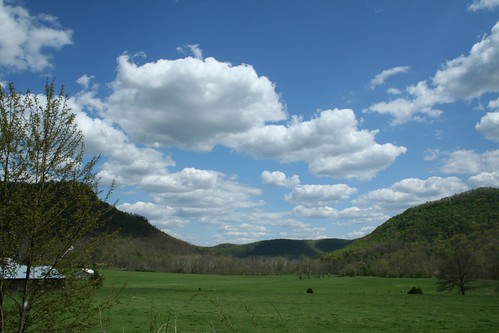
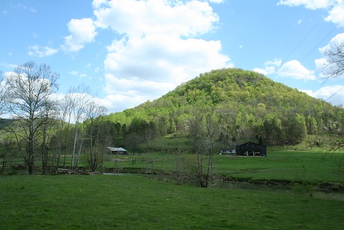
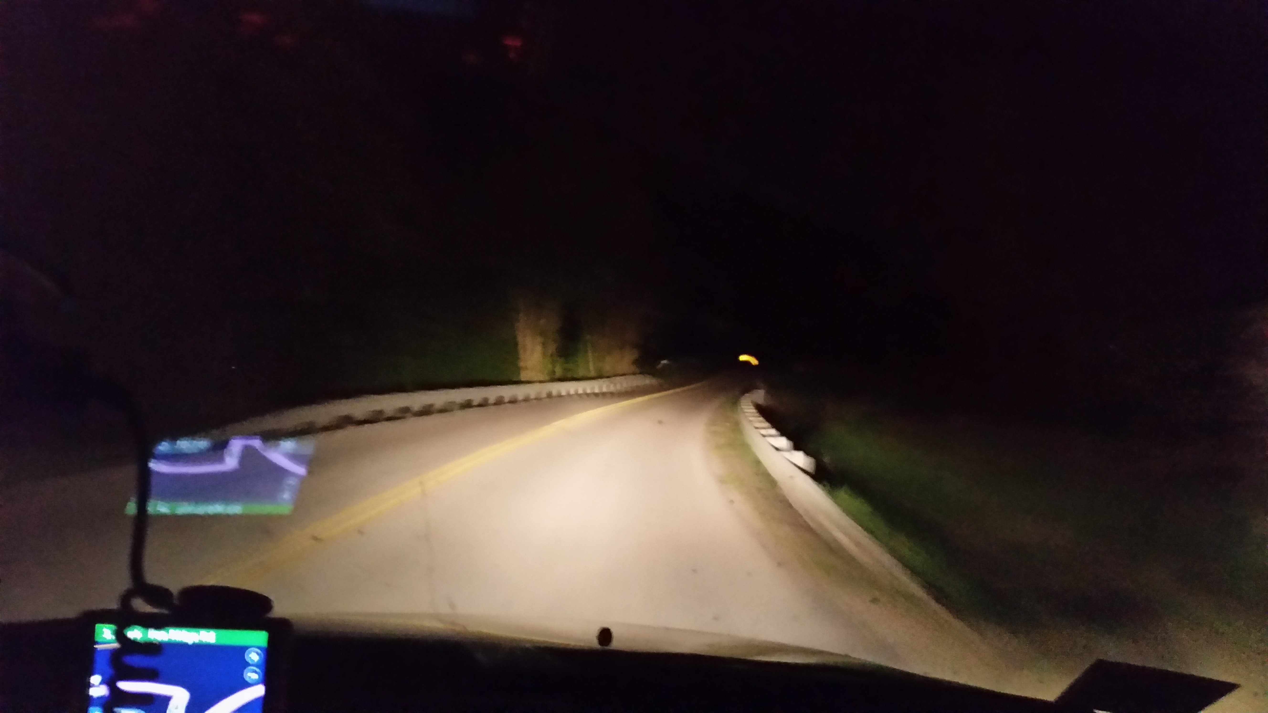
Sunrise & Sunset Photos
IMG_5447.JPG
IMG_5444.JPG
IMG_5442.JPG
IMG_5460.JPG
IMG_5445.JPG
IMG_5454.JPG
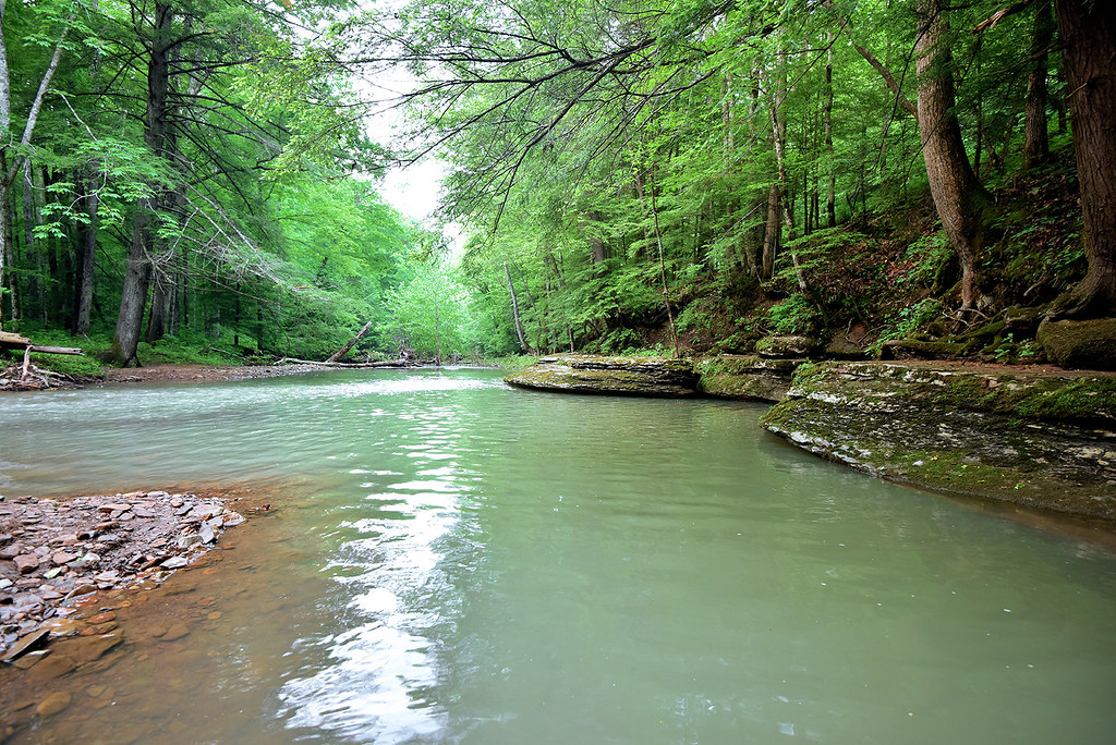
War Fork Creek
About to go on gravel roads to Irvine Kentucy Bed and Breakfast called the Snog hollow B&B
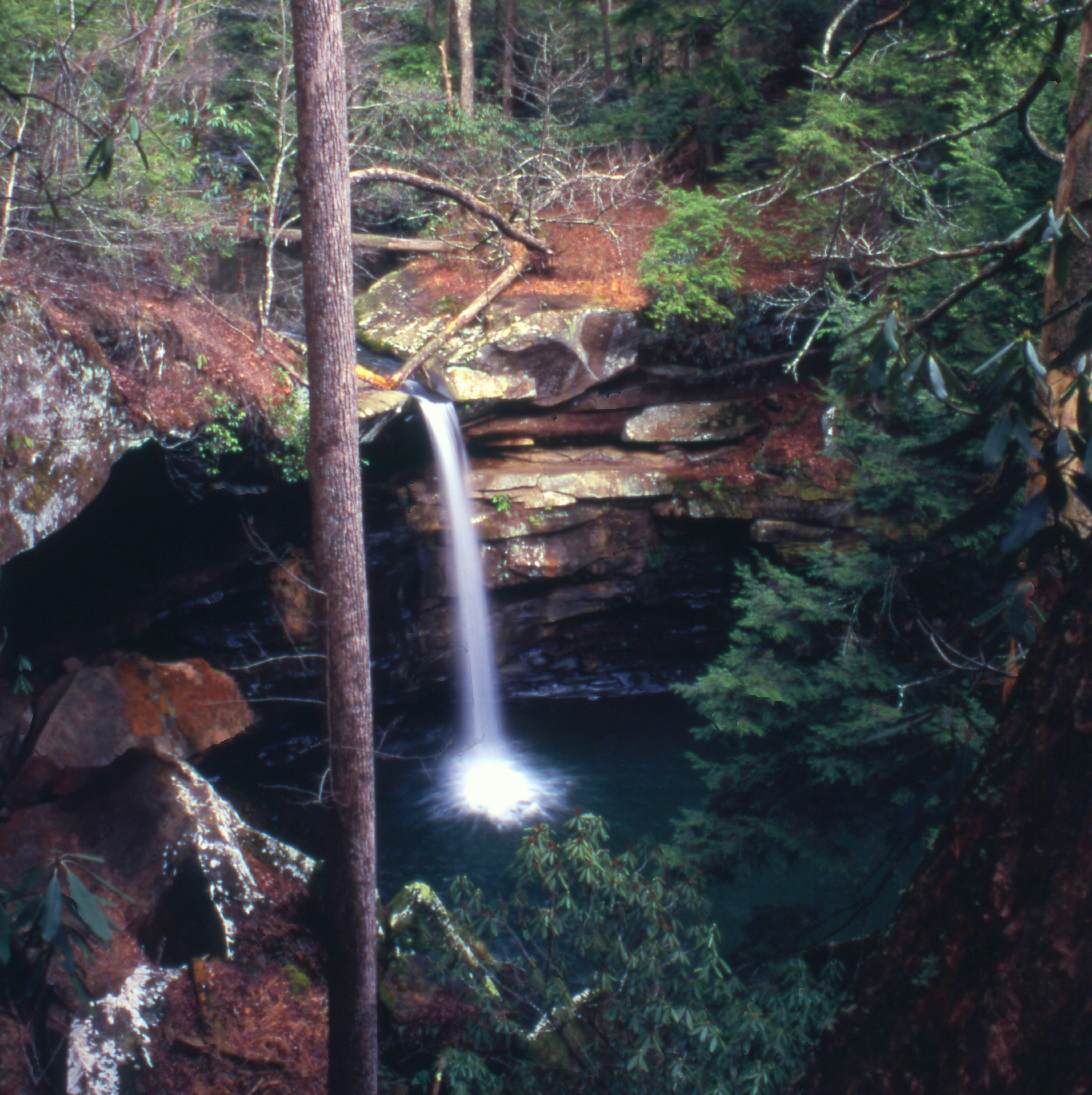
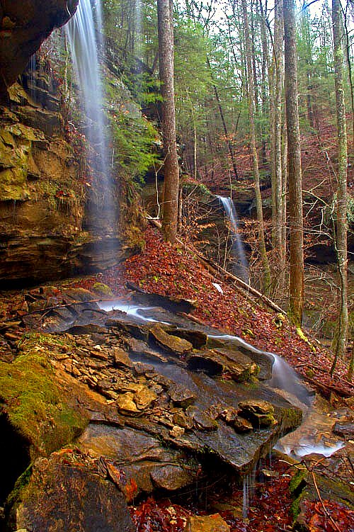
Flat Lick Falls
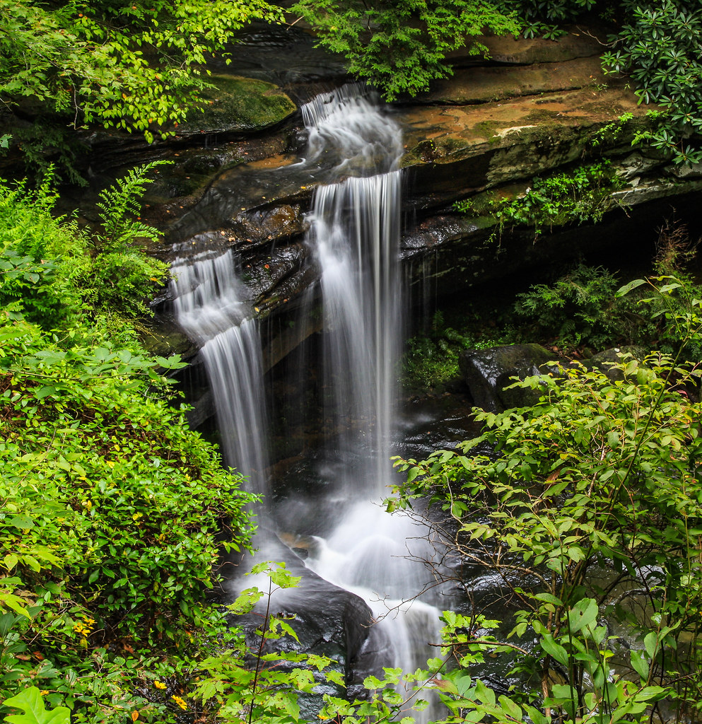
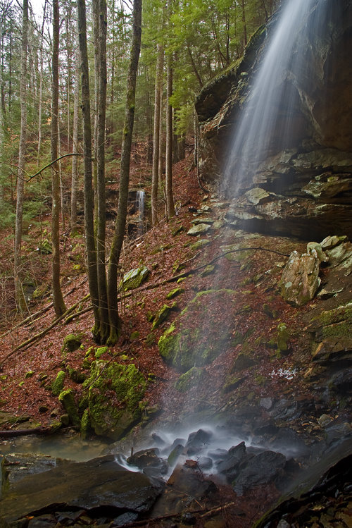
McCammon Falls
McCammon Falls

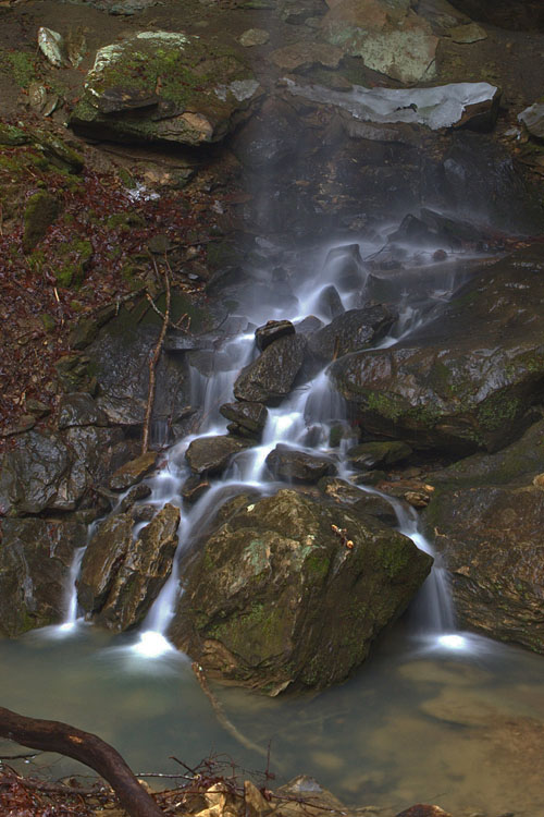
Lower part of McCammon Falls
Falls of McCammon
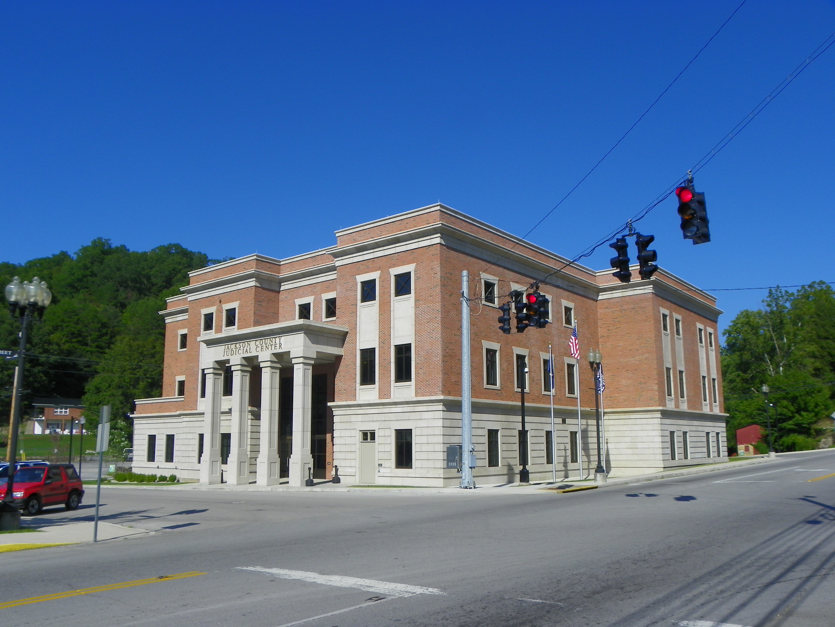
Jackson County Judicial Center
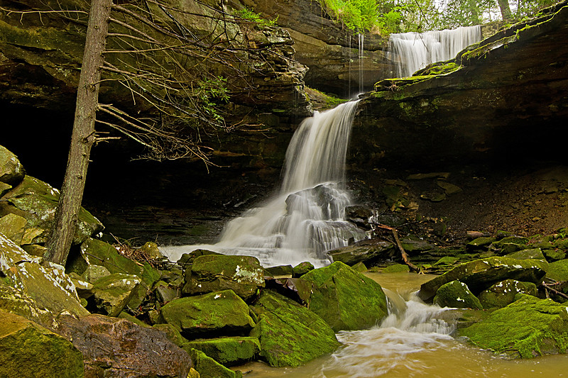
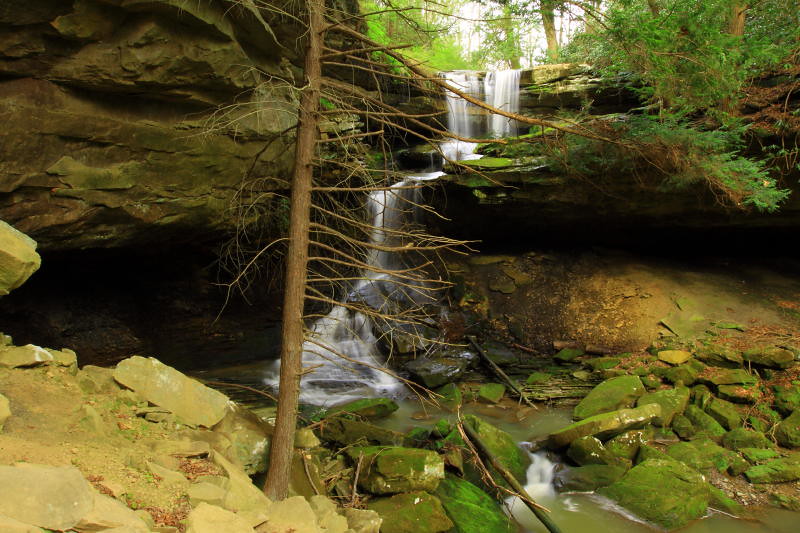
Alcorn Branch Falls , KY
Alcorn Branch Falls , KY
Alcorn Branch Falls, KY
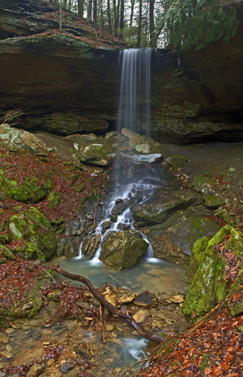
Alcorn Branch Falls, KY
Alcorn Branch Falls, KY

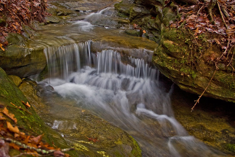
The Overhang
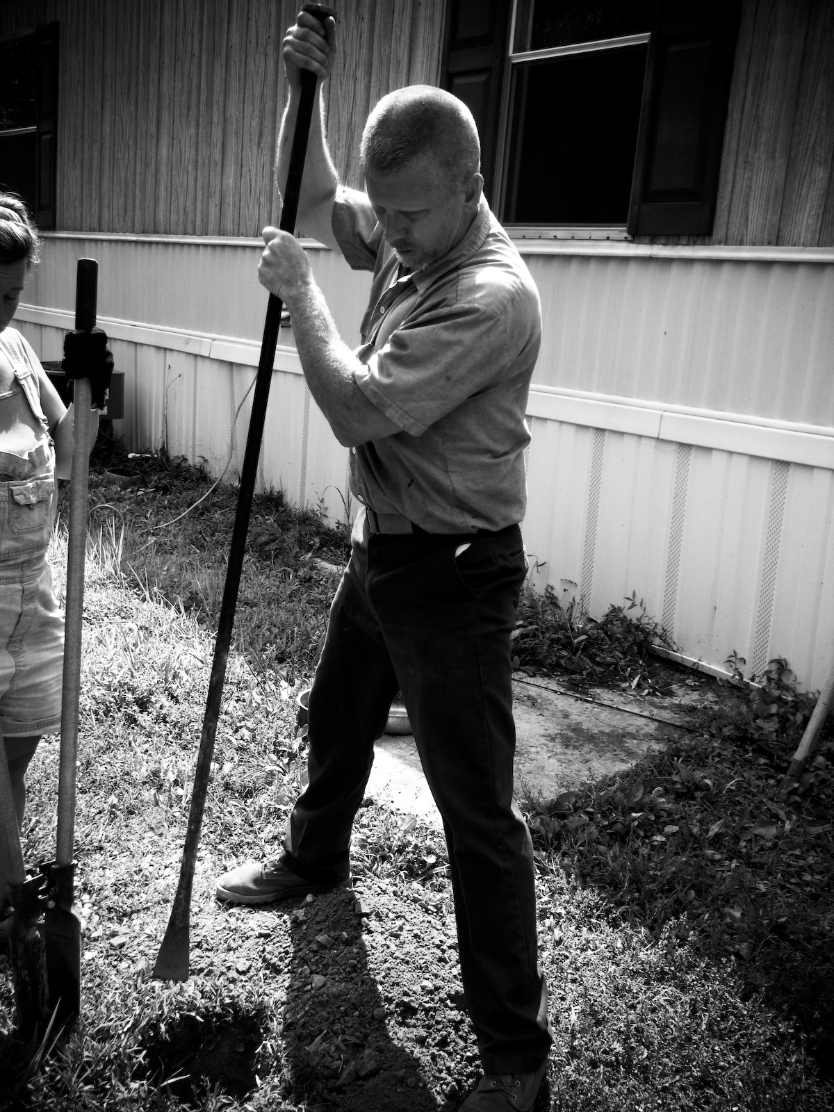
Diggin'
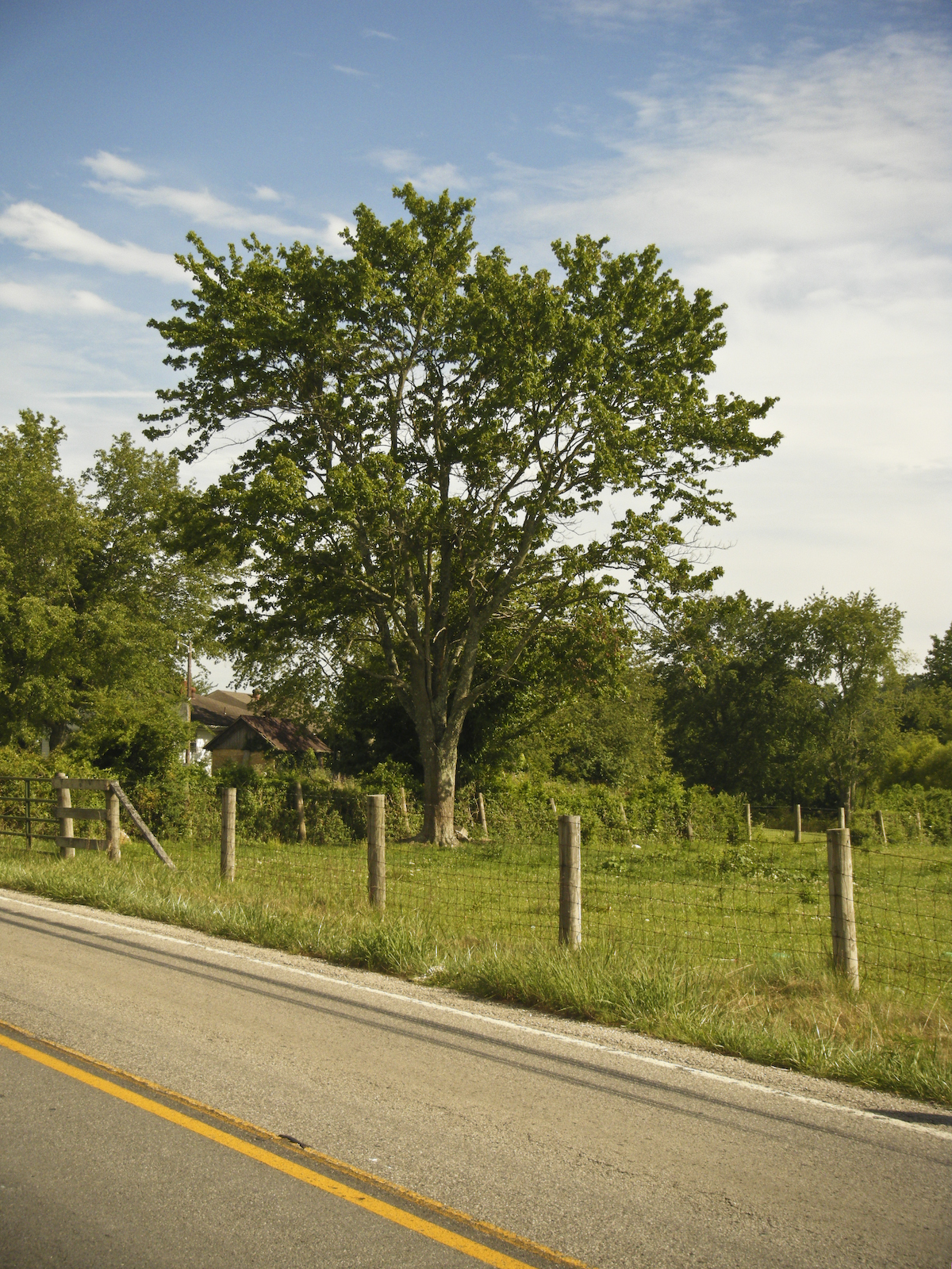
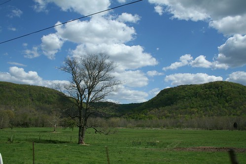
Tree in Pasture
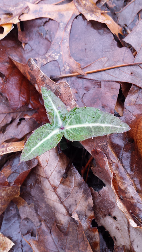
Spotted Wintergreen - Chimaphila maculata - Lily Mountain Nature Preserve, Estill County, Kentucky, USA - March 30, 2018
DSCF4445-Pano.jpg
DSCF4447.jpg
2017-07-29-S-Tree1
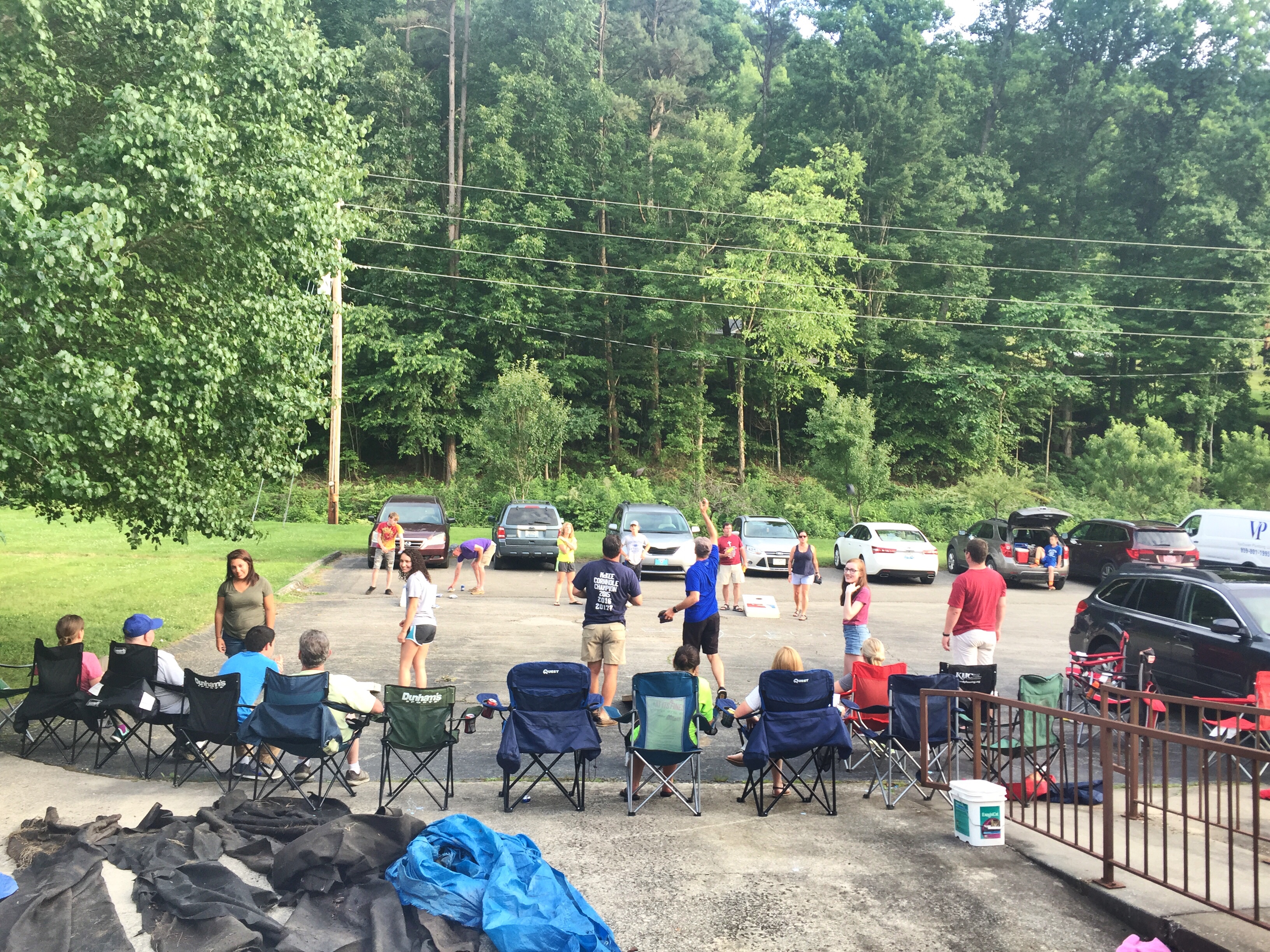
Corn hole tournament! Awsome!!
Sand Lick Road, Sand Lick Rd, Kentucky, USA Map
Search another place
Near Places
McKee, KY, USA
41 US-, McKee, KY, USA
Sandgap, KY, USA
Alumbaugh, KY, USA
Cr-, McKee, KY, USA
Jackson County, KY, USA
Barnes Mountain Road, Barnes Mountain Rd, Kentucky, USA
Wisemantown, KY, USA
Sugar Hollow Road, Irvine, KY, USA
Kentucky, KY-, Tyner, KY, USA
Wisemantown Road, Wisemantown Rd, Kentucky, USA
Ravenna, KY, USA
Quail Run Estates, Irvine, KY, USA
3rd St, Ravenna, KY, USA
Broadway St, Irvine, KY, USA
Estill County, KY, USA
Evelyn - Lock Rd, Irvine, KY, USA
Panola, KY, USA
Irvine, KY, USA
Laurel St, Irvine, KY, USA
Recent Searches
- Sunrise Sunset Times of Rojo Ct, Atascadero, CA, USA
- Sunrise Sunset Times of Lumagwas Diversified Farmers Multi-Purpose Cooperative, Lumagwas, Adtuyon, RV32+MH7, Pangantucan, Bu
- Sunrise Sunset Times of 12 Hutchinson Woods Dr, Fletcher, NC, USA
- Sunrise Sunset Times of Santa Maria del Mar, Peru
- Sunrise Sunset Times of Holloway Ave, San Francisco, CA, USA
- Sunrise Sunset Times of 1-chōme-1-5 Asahi, Utsunomiya, Tochigi -, Japan
- Sunrise Sunset Times of Bist Hazari, Afghanistan
- Sunrise Sunset Times of 82- D Rd, Captain Cook, HI, USA
- Sunrise Sunset Times of Harlow CM20 2PR, UK
- Sunrise Sunset Times of Yadozaki Tairausuiso, Iwaki, Fukushima -, Japan