アメリカ合衆国 〒 アリゾナ州 アーリントン日の出日の入り時間
Location: アメリカ合衆国 > アリゾナ州 > マリコパ >
時間帯:
America/Phoenix
現地時間:
2024-04-24 17:48:41
経度:
-112.763764
緯度:
33.3257096
今日の日の出時刻:
05:48:00 AM
今日の日の入時刻:
07:09:42 PM
今日の日長:
13h 21m 42s
明日の日の出時刻:
05:46:56 AM
明日の日の入時刻:
07:10:28 PM
明日の日長:
13h 23m 32s
すべて表示する
| 日付 | 日出 | 日没 | 日長 |
|---|---|---|---|
| 2024年01月01日 | 07:34:52 AM | 05:34:56 PM | 10h 0m 4s |
| 2024年01月02日 | 07:35:02 AM | 05:35:41 PM | 10h 0m 39s |
| 2024年01月03日 | 07:35:10 AM | 05:36:28 PM | 10h 1m 18s |
| 2024年01月04日 | 07:35:17 AM | 05:37:16 PM | 10h 1m 59s |
| 2024年01月05日 | 07:35:22 AM | 05:38:04 PM | 10h 2m 42s |
| 2024年01月06日 | 07:35:25 AM | 05:38:53 PM | 10h 3m 28s |
| 2024年01月07日 | 07:35:26 AM | 05:39:44 PM | 10h 4m 18s |
| 2024年01月08日 | 07:35:25 AM | 05:40:35 PM | 10h 5m 10s |
| 2024年01月09日 | 07:35:23 AM | 05:41:27 PM | 10h 6m 4s |
| 2024年01月10日 | 07:35:18 AM | 05:42:19 PM | 10h 7m 1s |
| 2024年01月11日 | 07:35:12 AM | 05:43:12 PM | 10h 8m 0s |
| 2024年01月12日 | 07:35:04 AM | 05:44:06 PM | 10h 9m 2s |
| 2024年01月13日 | 07:34:54 AM | 05:45:00 PM | 10h 10m 6s |
| 2024年01月14日 | 07:34:43 AM | 05:45:55 PM | 10h 11m 12s |
| 2024年01月15日 | 07:34:29 AM | 05:46:51 PM | 10h 12m 22s |
| 2024年01月16日 | 07:34:14 AM | 05:47:46 PM | 10h 13m 32s |
| 2024年01月17日 | 07:33:57 AM | 05:48:42 PM | 10h 14m 45s |
| 2024年01月18日 | 07:33:38 AM | 05:49:39 PM | 10h 16m 1s |
| 2024年01月19日 | 07:33:17 AM | 05:50:36 PM | 10h 17m 19s |
| 2024年01月20日 | 07:32:55 AM | 05:51:33 PM | 10h 18m 38s |
| 2024年01月21日 | 07:32:31 AM | 05:52:30 PM | 10h 19m 59s |
| 2024年01月22日 | 07:32:05 AM | 05:53:28 PM | 10h 21m 23s |
| 2024年01月23日 | 07:31:37 AM | 05:54:25 PM | 10h 22m 48s |
| 2024年01月24日 | 07:31:08 AM | 05:55:23 PM | 10h 24m 15s |
| 2024年01月25日 | 07:30:37 AM | 05:56:21 PM | 10h 25m 44s |
| 2024年01月26日 | 07:30:05 AM | 05:57:19 PM | 10h 27m 14s |
| 2024年01月27日 | 07:29:30 AM | 05:58:17 PM | 10h 28m 47s |
| 2024年01月28日 | 07:28:54 AM | 05:59:15 PM | 10h 30m 21s |
| 2024年01月29日 | 07:28:17 AM | 06:00:13 PM | 10h 31m 56s |
| 2024年01月30日 | 07:27:38 AM | 06:01:11 PM | 10h 33m 33s |
| 2024年01月31日 | 07:26:58 AM | 06:02:09 PM | 10h 35m 11s |
| 2024年02月01日 | 07:26:15 AM | 06:03:06 PM | 10h 36m 51s |
| 2024年02月02日 | 07:25:32 AM | 06:04:04 PM | 10h 38m 32s |
| 2024年02月03日 | 07:24:47 AM | 06:05:01 PM | 10h 40m 14s |
| 2024年02月04日 | 07:24:00 AM | 06:05:58 PM | 10h 41m 58s |
| 2024年02月05日 | 07:23:13 AM | 06:06:55 PM | 10h 43m 42s |
| 2024年02月06日 | 07:22:23 AM | 06:07:52 PM | 10h 45m 29s |
| 2024年02月07日 | 07:21:33 AM | 06:08:48 PM | 10h 47m 15s |
| 2024年02月08日 | 07:20:41 AM | 06:09:45 PM | 10h 49m 4s |
| 2024年02月09日 | 07:19:48 AM | 06:10:40 PM | 10h 50m 52s |
| 2024年02月10日 | 07:18:53 AM | 06:11:36 PM | 10h 52m 43s |
| 2024年02月11日 | 07:17:58 AM | 06:12:32 PM | 10h 54m 34s |
| 2024年02月12日 | 07:17:01 AM | 06:13:27 PM | 10h 56m 26s |
| 2024年02月13日 | 07:16:03 AM | 06:14:21 PM | 10h 58m 18s |
| 2024年02月14日 | 07:15:03 AM | 06:15:16 PM | 11h 0m 13s |
| 2024年02月15日 | 07:14:03 AM | 06:16:10 PM | 11h 2m 7s |
| 2024年02月16日 | 07:13:02 AM | 06:17:04 PM | 11h 4m 2s |
| 2024年02月17日 | 07:11:59 AM | 06:17:57 PM | 11h 5m 58s |
| 2024年02月18日 | 07:10:56 AM | 06:18:50 PM | 11h 7m 54s |
| 2024年02月19日 | 07:09:51 AM | 06:19:43 PM | 11h 9m 52s |
| 2024年02月20日 | 07:08:46 AM | 06:20:35 PM | 11h 11m 49s |
| 2024年02月21日 | 07:07:39 AM | 06:21:27 PM | 11h 13m 48s |
| 2024年02月22日 | 07:06:32 AM | 06:22:19 PM | 11h 15m 47s |
| 2024年02月23日 | 07:05:24 AM | 06:23:10 PM | 11h 17m 46s |
| 2024年02月24日 | 07:04:15 AM | 06:24:01 PM | 11h 19m 46s |
| 2024年02月25日 | 07:03:05 AM | 06:24:52 PM | 11h 21m 47s |
| 2024年02月26日 | 07:01:54 AM | 06:25:42 PM | 11h 23m 48s |
| 2024年02月27日 | 07:00:43 AM | 06:26:32 PM | 11h 25m 49s |
| 2024年02月28日 | 06:59:31 AM | 06:27:21 PM | 11h 27m 50s |
| 2024年02月29日 | 06:58:18 AM | 06:28:11 PM | 11h 29m 53s |
| 2024年03月01日 | 06:57:05 AM | 06:29:00 PM | 11h 31m 55s |
| 2024年03月02日 | 06:55:51 AM | 06:29:48 PM | 11h 33m 57s |
| 2024年03月03日 | 06:54:36 AM | 06:30:37 PM | 11h 36m 1s |
| 2024年03月04日 | 06:53:21 AM | 06:31:25 PM | 11h 38m 4s |
| 2024年03月05日 | 06:52:05 AM | 06:32:12 PM | 11h 40m 7s |
| 2024年03月06日 | 06:50:49 AM | 06:33:00 PM | 11h 42m 11s |
| 2024年03月07日 | 06:49:32 AM | 06:33:47 PM | 11h 44m 15s |
| 2024年03月08日 | 06:48:15 AM | 06:34:34 PM | 11h 46m 19s |
| 2024年03月09日 | 06:46:57 AM | 06:35:20 PM | 11h 48m 23s |
| 2024年03月10日 | 06:45:39 AM | 06:36:07 PM | 11h 50m 28s |
| 2024年03月11日 | 06:44:21 AM | 06:36:53 PM | 11h 52m 32s |
| 2024年03月12日 | 06:43:02 AM | 06:37:39 PM | 11h 54m 37s |
| 2024年03月13日 | 06:41:43 AM | 06:38:24 PM | 11h 56m 41s |
| 2024年03月14日 | 06:40:24 AM | 06:39:10 PM | 11h 58m 46s |
| 2024年03月15日 | 06:39:05 AM | 06:39:55 PM | 12h 0m 50s |
| 2024年03月16日 | 06:37:45 AM | 06:40:40 PM | 12h 2m 55s |
| 2024年03月17日 | 06:36:25 AM | 06:41:25 PM | 12h 5m 0s |
| 2024年03月18日 | 06:35:05 AM | 06:42:10 PM | 12h 7m 5s |
| 2024年03月19日 | 06:33:45 AM | 06:42:54 PM | 12h 9m 9s |
| 2024年03月20日 | 06:32:25 AM | 06:43:39 PM | 12h 11m 14s |
| 2024年03月21日 | 06:31:05 AM | 06:44:23 PM | 12h 13m 18s |
| 2024年03月22日 | 06:29:44 AM | 06:45:07 PM | 12h 15m 23s |
| 2024年03月23日 | 06:28:24 AM | 06:45:52 PM | 12h 17m 28s |
| 2024年03月24日 | 06:27:04 AM | 06:46:36 PM | 12h 19m 32s |
| 2024年03月25日 | 06:25:44 AM | 06:47:20 PM | 12h 21m 36s |
| 2024年03月26日 | 06:24:24 AM | 06:48:03 PM | 12h 23m 39s |
| 2024年03月27日 | 06:23:04 AM | 06:48:47 PM | 12h 25m 43s |
| 2024年03月28日 | 06:21:44 AM | 06:49:31 PM | 12h 27m 47s |
| 2024年03月29日 | 06:20:24 AM | 06:50:15 PM | 12h 29m 51s |
| 2024年03月30日 | 06:19:04 AM | 06:50:59 PM | 12h 31m 55s |
| 2024年03月31日 | 06:17:45 AM | 06:51:42 PM | 12h 33m 57s |
| 2024年04月01日 | 06:16:26 AM | 06:52:26 PM | 12h 36m 0s |
| 2024年04月02日 | 06:15:07 AM | 06:53:10 PM | 12h 38m 3s |
| 2024年04月03日 | 06:13:49 AM | 06:53:54 PM | 12h 40m 5s |
| 2024年04月04日 | 06:12:31 AM | 06:54:37 PM | 12h 42m 6s |
| 2024年04月05日 | 06:11:13 AM | 06:55:21 PM | 12h 44m 8s |
| 2024年04月06日 | 06:09:56 AM | 06:56:05 PM | 12h 46m 9s |
| 2024年04月07日 | 06:08:39 AM | 06:56:49 PM | 12h 48m 10s |
| 2024年04月08日 | 06:07:23 AM | 06:57:33 PM | 12h 50m 10s |
| 2024年04月09日 | 06:06:07 AM | 06:58:17 PM | 12h 52m 10s |
| 2024年04月10日 | 06:04:51 AM | 06:59:01 PM | 12h 54m 10s |
| 2024年04月11日 | 06:03:36 AM | 06:59:45 PM | 12h 56m 9s |
| 2024年04月12日 | 06:02:22 AM | 07:00:29 PM | 12h 58m 7s |
| 2024年04月13日 | 06:01:08 AM | 07:01:13 PM | 13h 0m 5s |
| 2024年04月14日 | 05:59:55 AM | 07:01:58 PM | 13h 2m 3s |
| 2024年04月15日 | 05:58:43 AM | 07:02:42 PM | 13h 3m 59s |
| 2024年04月16日 | 05:57:31 AM | 07:03:27 PM | 13h 5m 56s |
| 2024年04月17日 | 05:56:20 AM | 07:04:11 PM | 13h 7m 51s |
| 2024年04月18日 | 05:55:10 AM | 07:04:56 PM | 13h 9m 46s |
| 2024年04月19日 | 05:54:00 AM | 07:05:41 PM | 13h 11m 41s |
| 2024年04月20日 | 05:52:51 AM | 07:06:25 PM | 13h 13m 34s |
| 2024年04月21日 | 05:51:43 AM | 07:07:10 PM | 13h 15m 27s |
| 2024年04月22日 | 05:50:36 AM | 07:07:55 PM | 13h 17m 19s |
| 2024年04月23日 | 05:49:30 AM | 07:08:40 PM | 13h 19m 10s |
| 2024年04月24日 | 05:48:24 AM | 07:09:25 PM | 13h 21m 1s |
| 2024年04月25日 | 05:47:20 AM | 07:10:11 PM | 13h 22m 51s |
| 2024年04月26日 | 05:46:17 AM | 07:10:56 PM | 13h 24m 39s |
| 2024年04月27日 | 05:45:14 AM | 07:11:41 PM | 13h 26m 27s |
| 2024年04月28日 | 05:44:13 AM | 07:12:26 PM | 13h 28m 13s |
| 2024年04月29日 | 05:43:12 AM | 07:13:12 PM | 13h 30m 0s |
| 2024年04月30日 | 05:42:13 AM | 07:13:57 PM | 13h 31m 44s |
| 2024年05月01日 | 05:41:15 AM | 07:14:42 PM | 13h 33m 27s |
| 2024年05月02日 | 05:40:17 AM | 07:15:28 PM | 13h 35m 11s |
| 2024年05月03日 | 05:39:21 AM | 07:16:13 PM | 13h 36m 52s |
| 2024年05月04日 | 05:38:26 AM | 07:16:58 PM | 13h 38m 32s |
| 2024年05月05日 | 05:37:33 AM | 07:17:43 PM | 13h 40m 10s |
| 2024年05月06日 | 05:36:40 AM | 07:18:28 PM | 13h 41m 48s |
| 2024年05月07日 | 05:35:49 AM | 07:19:13 PM | 13h 43m 24s |
| 2024年05月08日 | 05:34:59 AM | 07:19:58 PM | 13h 44m 59s |
| 2024年05月09日 | 05:34:10 AM | 07:20:43 PM | 13h 46m 33s |
| 2024年05月10日 | 05:33:23 AM | 07:21:28 PM | 13h 48m 5s |
| 2024年05月11日 | 05:32:37 AM | 07:22:12 PM | 13h 49m 35s |
| 2024年05月12日 | 05:31:52 AM | 07:22:56 PM | 13h 51m 4s |
| 2024年05月13日 | 05:31:08 AM | 07:23:40 PM | 13h 52m 32s |
| 2024年05月14日 | 05:30:26 AM | 07:24:24 PM | 13h 53m 58s |
| 2024年05月15日 | 05:29:46 AM | 07:25:08 PM | 13h 55m 22s |
| 2024年05月16日 | 05:29:06 AM | 07:25:51 PM | 13h 56m 45s |
| 2024年05月17日 | 05:28:29 AM | 07:26:34 PM | 13h 58m 5s |
| 2024年05月18日 | 05:27:52 AM | 07:27:16 PM | 13h 59m 24s |
| 2024年05月19日 | 05:27:17 AM | 07:27:59 PM | 14h 0m 42s |
| 2024年05月20日 | 05:26:44 AM | 07:28:40 PM | 14h 1m 56s |
| 2024年05月21日 | 05:26:12 AM | 07:29:22 PM | 14h 3m 10s |
| 2024年05月22日 | 05:25:41 AM | 07:30:02 PM | 14h 4m 21s |
| 2024年05月23日 | 05:25:13 AM | 07:30:43 PM | 14h 5m 30s |
| 2024年05月24日 | 05:24:45 AM | 07:31:23 PM | 14h 6m 38s |
| 2024年05月25日 | 05:24:19 AM | 07:32:02 PM | 14h 7m 43s |
| 2024年05月26日 | 05:23:55 AM | 07:32:40 PM | 14h 8m 45s |
| 2024年05月27日 | 05:23:32 AM | 07:33:18 PM | 14h 9m 46s |
| 2024年05月28日 | 05:23:11 AM | 07:33:56 PM | 14h 10m 45s |
| 2024年05月29日 | 05:22:51 AM | 07:34:32 PM | 14h 11m 41s |
| 2024年05月30日 | 05:22:33 AM | 07:35:08 PM | 14h 12m 35s |
| 2024年05月31日 | 05:22:17 AM | 07:35:43 PM | 14h 13m 26s |
| 2024年06月01日 | 05:22:02 AM | 07:36:18 PM | 14h 14m 16s |
| 2024年06月02日 | 05:21:49 AM | 07:36:51 PM | 14h 15m 2s |
| 2024年06月03日 | 05:21:37 AM | 07:37:24 PM | 14h 15m 47s |
| 2024年06月04日 | 05:21:27 AM | 07:37:55 PM | 14h 16m 28s |
| 2024年06月05日 | 05:21:18 AM | 07:38:26 PM | 14h 17m 8s |
| 2024年06月06日 | 05:21:11 AM | 07:38:56 PM | 14h 17m 45s |
| 2024年06月07日 | 05:21:05 AM | 07:39:24 PM | 14h 18m 19s |
| 2024年06月08日 | 05:21:01 AM | 07:39:52 PM | 14h 18m 51s |
| 2024年06月09日 | 05:20:59 AM | 07:40:19 PM | 14h 19m 20s |
| 2024年06月10日 | 05:20:58 AM | 07:40:44 PM | 14h 19m 46s |
| 2024年06月11日 | 05:20:58 AM | 07:41:09 PM | 14h 20m 11s |
| 2024年06月12日 | 05:21:00 AM | 07:41:32 PM | 14h 20m 32s |
| 2024年06月13日 | 05:21:04 AM | 07:41:54 PM | 14h 20m 50s |
| 2024年06月14日 | 05:21:09 AM | 07:42:14 PM | 14h 21m 5s |
| 2024年06月15日 | 05:21:15 AM | 07:42:34 PM | 14h 21m 19s |
| 2024年06月16日 | 05:21:23 AM | 07:42:52 PM | 14h 21m 29s |
| 2024年06月17日 | 05:21:33 AM | 07:43:09 PM | 14h 21m 36s |
| 2024年06月18日 | 05:21:43 AM | 07:43:24 PM | 14h 21m 41s |
| 2024年06月19日 | 05:21:55 AM | 07:43:38 PM | 14h 21m 43s |
| 2024年06月20日 | 05:22:09 AM | 07:43:51 PM | 14h 21m 42s |
| 2024年06月21日 | 05:22:23 AM | 07:44:02 PM | 14h 21m 39s |
| 2024年06月22日 | 05:22:39 AM | 07:44:12 PM | 14h 21m 33s |
| 2024年06月23日 | 05:22:57 AM | 07:44:21 PM | 14h 21m 24s |
| 2024年06月24日 | 05:23:15 AM | 07:44:28 PM | 14h 21m 13s |
| 2024年06月25日 | 05:23:35 AM | 07:44:33 PM | 14h 20m 58s |
| 2024年06月26日 | 05:23:56 AM | 07:44:37 PM | 14h 20m 41s |
| 2024年06月27日 | 05:24:18 AM | 07:44:39 PM | 14h 20m 21s |
| 2024年06月28日 | 05:24:41 AM | 07:44:40 PM | 14h 19m 59s |
| 2024年06月29日 | 05:25:05 AM | 07:44:39 PM | 14h 19m 34s |
| 2024年06月30日 | 05:25:31 AM | 07:44:37 PM | 14h 19m 6s |
| 2024年07月01日 | 05:25:57 AM | 07:44:33 PM | 14h 18m 36s |
| 2024年07月02日 | 05:26:24 AM | 07:44:28 PM | 14h 18m 4s |
| 2024年07月03日 | 05:26:53 AM | 07:44:21 PM | 14h 17m 28s |
| 2024年07月04日 | 05:27:22 AM | 07:44:12 PM | 14h 16m 50s |
| 2024年07月05日 | 05:27:52 AM | 07:44:02 PM | 14h 16m 10s |
| 2024年07月06日 | 05:28:23 AM | 07:43:50 PM | 14h 15m 27s |
| 2024年07月07日 | 05:28:55 AM | 07:43:36 PM | 14h 14m 41s |
| 2024年07月08日 | 05:29:27 AM | 07:43:21 PM | 14h 13m 54s |
| 2024年07月09日 | 05:30:01 AM | 07:43:04 PM | 14h 13m 3s |
| 2024年07月10日 | 05:30:35 AM | 07:42:46 PM | 14h 12m 11s |
| 2024年07月11日 | 05:31:09 AM | 07:42:26 PM | 14h 11m 17s |
| 2024年07月12日 | 05:31:45 AM | 07:42:05 PM | 14h 10m 20s |
| 2024年07月13日 | 05:32:21 AM | 07:41:42 PM | 14h 9m 21s |
| 2024年07月14日 | 05:32:57 AM | 07:41:17 PM | 14h 8m 20s |
| 2024年07月15日 | 05:33:35 AM | 07:40:51 PM | 14h 7m 16s |
| 2024年07月16日 | 05:34:12 AM | 07:40:23 PM | 14h 6m 11s |
| 2024年07月17日 | 05:34:50 AM | 07:39:53 PM | 14h 5m 3s |
| 2024年07月18日 | 05:35:29 AM | 07:39:22 PM | 14h 3m 53s |
| 2024年07月19日 | 05:36:08 AM | 07:38:50 PM | 14h 2m 42s |
| 2024年07月20日 | 05:36:47 AM | 07:38:16 PM | 14h 1m 29s |
| 2024年07月21日 | 05:37:27 AM | 07:37:40 PM | 14h 0m 13s |
| 2024年07月22日 | 05:38:07 AM | 07:37:03 PM | 13h 58m 56s |
| 2024年07月23日 | 05:38:48 AM | 07:36:25 PM | 13h 57m 37s |
| 2024年07月24日 | 05:39:28 AM | 07:35:45 PM | 13h 56m 17s |
| 2024年07月25日 | 05:40:09 AM | 07:35:03 PM | 13h 54m 54s |
| 2024年07月26日 | 05:40:50 AM | 07:34:20 PM | 13h 53m 30s |
| 2024年07月27日 | 05:41:32 AM | 07:33:36 PM | 13h 52m 4s |
| 2024年07月28日 | 05:42:13 AM | 07:32:51 PM | 13h 50m 38s |
| 2024年07月29日 | 05:42:55 AM | 07:32:04 PM | 13h 49m 9s |
| 2024年07月30日 | 05:43:37 AM | 07:31:15 PM | 13h 47m 38s |
| 2024年07月31日 | 05:44:18 AM | 07:30:26 PM | 13h 46m 8s |
| 2024年08月01日 | 05:45:00 AM | 07:29:35 PM | 13h 44m 35s |
| 2024年08月02日 | 05:45:43 AM | 07:28:42 PM | 13h 42m 59s |
| 2024年08月03日 | 05:46:25 AM | 07:27:49 PM | 13h 41m 24s |
| 2024年08月04日 | 05:47:07 AM | 07:26:54 PM | 13h 39m 47s |
| 2024年08月05日 | 05:47:49 AM | 07:25:58 PM | 13h 38m 9s |
| 2024年08月06日 | 05:48:31 AM | 07:25:01 PM | 13h 36m 30s |
| 2024年08月07日 | 05:49:13 AM | 07:24:03 PM | 13h 34m 50s |
| 2024年08月08日 | 05:49:55 AM | 07:23:03 PM | 13h 33m 8s |
| 2024年08月09日 | 05:50:37 AM | 07:22:03 PM | 13h 31m 26s |
| 2024年08月10日 | 05:51:19 AM | 07:21:01 PM | 13h 29m 42s |
| 2024年08月11日 | 05:52:01 AM | 07:19:58 PM | 13h 27m 57s |
| 2024年08月12日 | 05:52:43 AM | 07:18:55 PM | 13h 26m 12s |
| 2024年08月13日 | 05:53:25 AM | 07:17:50 PM | 13h 24m 25s |
| 2024年08月14日 | 05:54:07 AM | 07:16:44 PM | 13h 22m 37s |
| 2024年08月15日 | 05:54:48 AM | 07:15:37 PM | 13h 20m 49s |
| 2024年08月16日 | 05:55:30 AM | 07:14:30 PM | 13h 19m 0s |
| 2024年08月17日 | 05:56:11 AM | 07:13:21 PM | 13h 17m 10s |
| 2024年08月18日 | 05:56:53 AM | 07:12:12 PM | 13h 15m 19s |
| 2024年08月19日 | 05:57:34 AM | 07:11:02 PM | 13h 13m 28s |
| 2024年08月20日 | 05:58:15 AM | 07:09:51 PM | 13h 11m 36s |
| 2024年08月21日 | 05:58:56 AM | 07:08:39 PM | 13h 9m 43s |
| 2024年08月22日 | 05:59:37 AM | 07:07:26 PM | 13h 7m 49s |
| 2024年08月23日 | 06:00:18 AM | 07:06:13 PM | 13h 5m 55s |
| 2024年08月24日 | 06:00:58 AM | 07:04:59 PM | 13h 4m 1s |
| 2024年08月25日 | 06:01:39 AM | 07:03:44 PM | 13h 2m 5s |
| 2024年08月26日 | 06:02:19 AM | 07:02:29 PM | 13h 0m 10s |
| 2024年08月27日 | 06:03:00 AM | 07:01:13 PM | 12h 58m 13s |
| 2024年08月28日 | 06:03:40 AM | 06:59:56 PM | 12h 56m 16s |
| 2024年08月29日 | 06:04:20 AM | 06:58:39 PM | 12h 54m 19s |
| 2024年08月30日 | 06:05:00 AM | 06:57:21 PM | 12h 52m 21s |
| 2024年08月31日 | 06:05:40 AM | 06:56:03 PM | 12h 50m 23s |
| 2024年09月01日 | 06:06:20 AM | 06:54:45 PM | 12h 48m 25s |
| 2024年09月02日 | 06:07:00 AM | 06:53:25 PM | 12h 46m 25s |
| 2024年09月03日 | 06:07:39 AM | 06:52:06 PM | 12h 44m 27s |
| 2024年09月04日 | 06:08:19 AM | 06:50:46 PM | 12h 42m 27s |
| 2024年09月05日 | 06:08:59 AM | 06:49:25 PM | 12h 40m 26s |
| 2024年09月06日 | 06:09:38 AM | 06:48:05 PM | 12h 38m 27s |
| 2024年09月07日 | 06:10:18 AM | 06:46:44 PM | 12h 36m 26s |
| 2024年09月08日 | 06:10:57 AM | 06:45:22 PM | 12h 34m 25s |
| 2024年09月09日 | 06:11:37 AM | 06:44:01 PM | 12h 32m 24s |
| 2024年09月10日 | 06:12:16 AM | 06:42:39 PM | 12h 30m 23s |
| 2024年09月11日 | 06:12:56 AM | 06:41:17 PM | 12h 28m 21s |
| 2024年09月12日 | 06:13:36 AM | 06:39:55 PM | 12h 26m 19s |
| 2024年09月13日 | 06:14:15 AM | 06:38:32 PM | 12h 24m 17s |
| 2024年09月14日 | 06:14:55 AM | 06:37:10 PM | 12h 22m 15s |
| 2024年09月15日 | 06:15:34 AM | 06:35:47 PM | 12h 20m 13s |
| 2024年09月16日 | 06:16:14 AM | 06:34:25 PM | 12h 18m 11s |
| 2024年09月17日 | 06:16:54 AM | 06:33:02 PM | 12h 16m 8s |
| 2024年09月18日 | 06:17:34 AM | 06:31:39 PM | 12h 14m 5s |
| 2024年09月19日 | 06:18:14 AM | 06:30:17 PM | 12h 12m 3s |
| 2024年09月20日 | 06:18:54 AM | 06:28:54 PM | 12h 10m 0s |
| 2024年09月21日 | 06:19:34 AM | 06:27:32 PM | 12h 7m 58s |
| 2024年09月22日 | 06:20:15 AM | 06:26:09 PM | 12h 5m 54s |
| 2024年09月23日 | 06:20:55 AM | 06:24:47 PM | 12h 3m 52s |
| 2024年09月24日 | 06:21:36 AM | 06:23:25 PM | 12h 1m 49s |
| 2024年09月25日 | 06:22:17 AM | 06:22:03 PM | 11h 59m 46s |
| 2024年09月26日 | 06:22:58 AM | 06:20:41 PM | 11h 57m 43s |
| 2024年09月27日 | 06:23:39 AM | 06:19:20 PM | 11h 55m 41s |
| 2024年09月28日 | 06:24:21 AM | 06:17:58 PM | 11h 53m 37s |
| 2024年09月29日 | 06:25:02 AM | 06:16:37 PM | 11h 51m 35s |
| 2024年09月30日 | 06:25:44 AM | 06:15:17 PM | 11h 49m 33s |
| 2024年10月01日 | 06:26:26 AM | 06:13:57 PM | 11h 47m 31s |
| 2024年10月02日 | 06:27:09 AM | 06:12:37 PM | 11h 45m 28s |
| 2024年10月03日 | 06:27:52 AM | 06:11:18 PM | 11h 43m 26s |
| 2024年10月04日 | 06:28:35 AM | 06:09:59 PM | 11h 41m 24s |
| 2024年10月05日 | 06:29:18 AM | 06:08:40 PM | 11h 39m 22s |
| 2024年10月06日 | 06:30:01 AM | 06:07:22 PM | 11h 37m 21s |
| 2024年10月07日 | 06:30:45 AM | 06:06:05 PM | 11h 35m 20s |
| 2024年10月08日 | 06:31:30 AM | 06:04:48 PM | 11h 33m 18s |
| 2024年10月09日 | 06:32:14 AM | 06:03:32 PM | 11h 31m 18s |
| 2024年10月10日 | 06:32:59 AM | 06:02:16 PM | 11h 29m 17s |
| 2024年10月11日 | 06:33:44 AM | 06:01:01 PM | 11h 27m 17s |
| 2024年10月12日 | 06:34:30 AM | 05:59:47 PM | 11h 25m 17s |
| 2024年10月13日 | 06:35:16 AM | 05:58:33 PM | 11h 23m 17s |
| 2024年10月14日 | 06:36:02 AM | 05:57:21 PM | 11h 21m 19s |
| 2024年10月15日 | 06:36:49 AM | 05:56:09 PM | 11h 19m 20s |
| 2024年10月16日 | 06:37:36 AM | 05:54:58 PM | 11h 17m 22s |
| 2024年10月17日 | 06:38:23 AM | 05:53:47 PM | 11h 15m 24s |
| 2024年10月18日 | 06:39:11 AM | 05:52:38 PM | 11h 13m 27s |
| 2024年10月19日 | 06:39:59 AM | 05:51:29 PM | 11h 11m 30s |
| 2024年10月20日 | 06:40:48 AM | 05:50:22 PM | 11h 9m 34s |
| 2024年10月21日 | 06:41:36 AM | 05:49:15 PM | 11h 7m 39s |
| 2024年10月22日 | 06:42:26 AM | 05:48:09 PM | 11h 5m 43s |
| 2024年10月23日 | 06:43:15 AM | 05:47:05 PM | 11h 3m 50s |
| 2024年10月24日 | 06:44:05 AM | 05:46:01 PM | 11h 1m 56s |
| 2024年10月25日 | 06:44:56 AM | 05:44:58 PM | 11h 0m 2s |
| 2024年10月26日 | 06:45:47 AM | 05:43:57 PM | 10h 58m 10s |
| 2024年10月27日 | 06:46:38 AM | 05:42:57 PM | 10h 56m 19s |
| 2024年10月28日 | 06:47:29 AM | 05:41:58 PM | 10h 54m 29s |
| 2024年10月29日 | 06:48:21 AM | 05:41:00 PM | 10h 52m 39s |
| 2024年10月30日 | 06:49:13 AM | 05:40:03 PM | 10h 50m 50s |
| 2024年10月31日 | 06:50:06 AM | 05:39:08 PM | 10h 49m 2s |
| 2024年11月01日 | 06:50:59 AM | 05:38:14 PM | 10h 47m 15s |
| 2024年11月02日 | 06:51:52 AM | 05:37:21 PM | 10h 45m 29s |
| 2024年11月03日 | 06:52:45 AM | 05:36:30 PM | 10h 43m 45s |
| 2024年11月04日 | 06:53:39 AM | 05:35:40 PM | 10h 42m 1s |
| 2024年11月05日 | 06:54:33 AM | 05:34:51 PM | 10h 40m 18s |
| 2024年11月06日 | 06:55:27 AM | 05:34:04 PM | 10h 38m 37s |
| 2024年11月07日 | 06:56:21 AM | 05:33:19 PM | 10h 36m 58s |
| 2024年11月08日 | 06:57:16 AM | 05:32:34 PM | 10h 35m 18s |
| 2024年11月09日 | 06:58:11 AM | 05:31:52 PM | 10h 33m 41s |
| 2024年11月10日 | 06:59:06 AM | 05:31:11 PM | 10h 32m 5s |
| 2024年11月11日 | 07:00:01 AM | 05:30:31 PM | 10h 30m 30s |
| 2024年11月12日 | 07:00:56 AM | 05:29:53 PM | 10h 28m 57s |
| 2024年11月13日 | 07:01:51 AM | 05:29:17 PM | 10h 27m 26s |
| 2024年11月14日 | 07:02:46 AM | 05:28:42 PM | 10h 25m 56s |
| 2024年11月15日 | 07:03:42 AM | 05:28:09 PM | 10h 24m 27s |
| 2024年11月16日 | 07:04:37 AM | 05:27:38 PM | 10h 23m 1s |
| 2024年11月17日 | 07:05:32 AM | 05:27:08 PM | 10h 21m 36s |
| 2024年11月18日 | 07:06:27 AM | 05:26:41 PM | 10h 20m 14s |
| 2024年11月19日 | 07:07:22 AM | 05:26:14 PM | 10h 18m 52s |
| 2024年11月20日 | 07:08:17 AM | 05:25:50 PM | 10h 17m 33s |
| 2024年11月21日 | 07:09:12 AM | 05:25:27 PM | 10h 16m 15s |
| 2024年11月22日 | 07:10:06 AM | 05:25:07 PM | 10h 15m 1s |
| 2024年11月23日 | 07:11:00 AM | 05:24:48 PM | 10h 13m 48s |
| 2024年11月24日 | 07:11:54 AM | 05:24:31 PM | 10h 12m 37s |
| 2024年11月25日 | 07:12:48 AM | 05:24:15 PM | 10h 11m 27s |
| 2024年11月26日 | 07:13:41 AM | 05:24:02 PM | 10h 10m 21s |
| 2024年11月27日 | 07:14:34 AM | 05:23:50 PM | 10h 9m 16s |
| 2024年11月28日 | 07:15:26 AM | 05:23:40 PM | 10h 8m 14s |
| 2024年11月29日 | 07:16:17 AM | 05:23:32 PM | 10h 7m 15s |
| 2024年11月30日 | 07:17:09 AM | 05:23:26 PM | 10h 6m 17s |
| 2024年12月01日 | 07:17:59 AM | 05:23:22 PM | 10h 5m 23s |
| 2024年12月02日 | 07:18:49 AM | 05:23:20 PM | 10h 4m 31s |
| 2024年12月03日 | 07:19:38 AM | 05:23:20 PM | 10h 3m 42s |
| 2024年12月04日 | 07:20:26 AM | 05:23:21 PM | 10h 2m 55s |
| 2024年12月05日 | 07:21:14 AM | 05:23:24 PM | 10h 2m 10s |
| 2024年12月06日 | 07:22:01 AM | 05:23:29 PM | 10h 1m 28s |
| 2024年12月07日 | 07:22:47 AM | 05:23:36 PM | 10h 0m 49s |
| 2024年12月08日 | 07:23:31 AM | 05:23:45 PM | 10h 0m 14s |
| 2024年12月09日 | 07:24:15 AM | 05:23:56 PM | 9h 59m 41s |
| 2024年12月10日 | 07:24:58 AM | 05:24:08 PM | 9h 59m 10s |
| 2024年12月11日 | 07:25:40 AM | 05:24:23 PM | 9h 58m 43s |
| 2024年12月12日 | 07:26:21 AM | 05:24:39 PM | 9h 58m 18s |
| 2024年12月13日 | 07:27:00 AM | 05:24:57 PM | 9h 57m 57s |
| 2024年12月14日 | 07:27:39 AM | 05:25:16 PM | 9h 57m 37s |
| 2024年12月15日 | 07:28:16 AM | 05:25:37 PM | 9h 57m 21s |
| 2024年12月16日 | 07:28:51 AM | 05:26:00 PM | 9h 57m 9s |
| 2024年12月17日 | 07:29:26 AM | 05:26:25 PM | 9h 56m 59s |
| 2024年12月18日 | 07:29:59 AM | 05:26:51 PM | 9h 56m 52s |
| 2024年12月19日 | 07:30:31 AM | 05:27:19 PM | 9h 56m 48s |
| 2024年12月20日 | 07:31:01 AM | 05:27:48 PM | 9h 56m 47s |
| 2024年12月21日 | 07:31:30 AM | 05:28:19 PM | 9h 56m 49s |
| 2024年12月22日 | 07:31:57 AM | 05:28:52 PM | 9h 56m 55s |
| 2024年12月23日 | 07:32:23 AM | 05:29:26 PM | 9h 57m 3s |
| 2024年12月24日 | 07:32:47 AM | 05:30:01 PM | 9h 57m 14s |
| 2024年12月25日 | 07:33:09 AM | 05:30:38 PM | 9h 57m 29s |
| 2024年12月26日 | 07:33:30 AM | 05:31:16 PM | 9h 57m 46s |
| 2024年12月27日 | 07:33:49 AM | 05:31:55 PM | 9h 58m 6s |
| 2024年12月28日 | 07:34:07 AM | 05:32:36 PM | 9h 58m 29s |
| 2024年12月29日 | 07:34:22 AM | 05:33:18 PM | 9h 58m 56s |
| 2024年12月30日 | 07:34:37 AM | 05:34:01 PM | 9h 59m 24s |
写真

Portrait with Arizona Sunset

bird is my co-pilot
Dramatic Trader
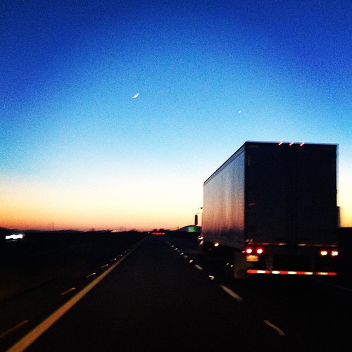
sunset on the Arizona highway
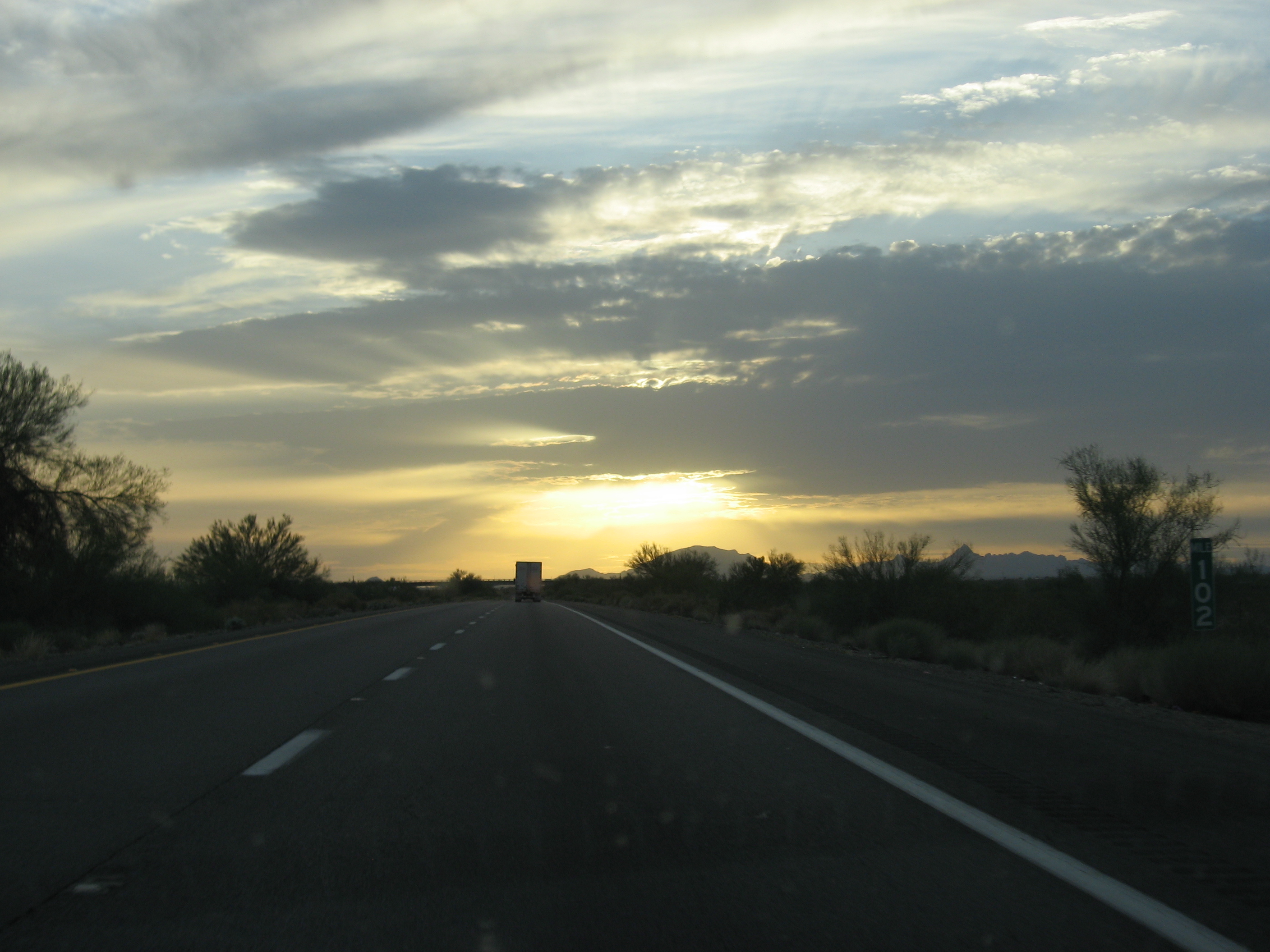
Sunset along I-10

Palo Verde Power Station

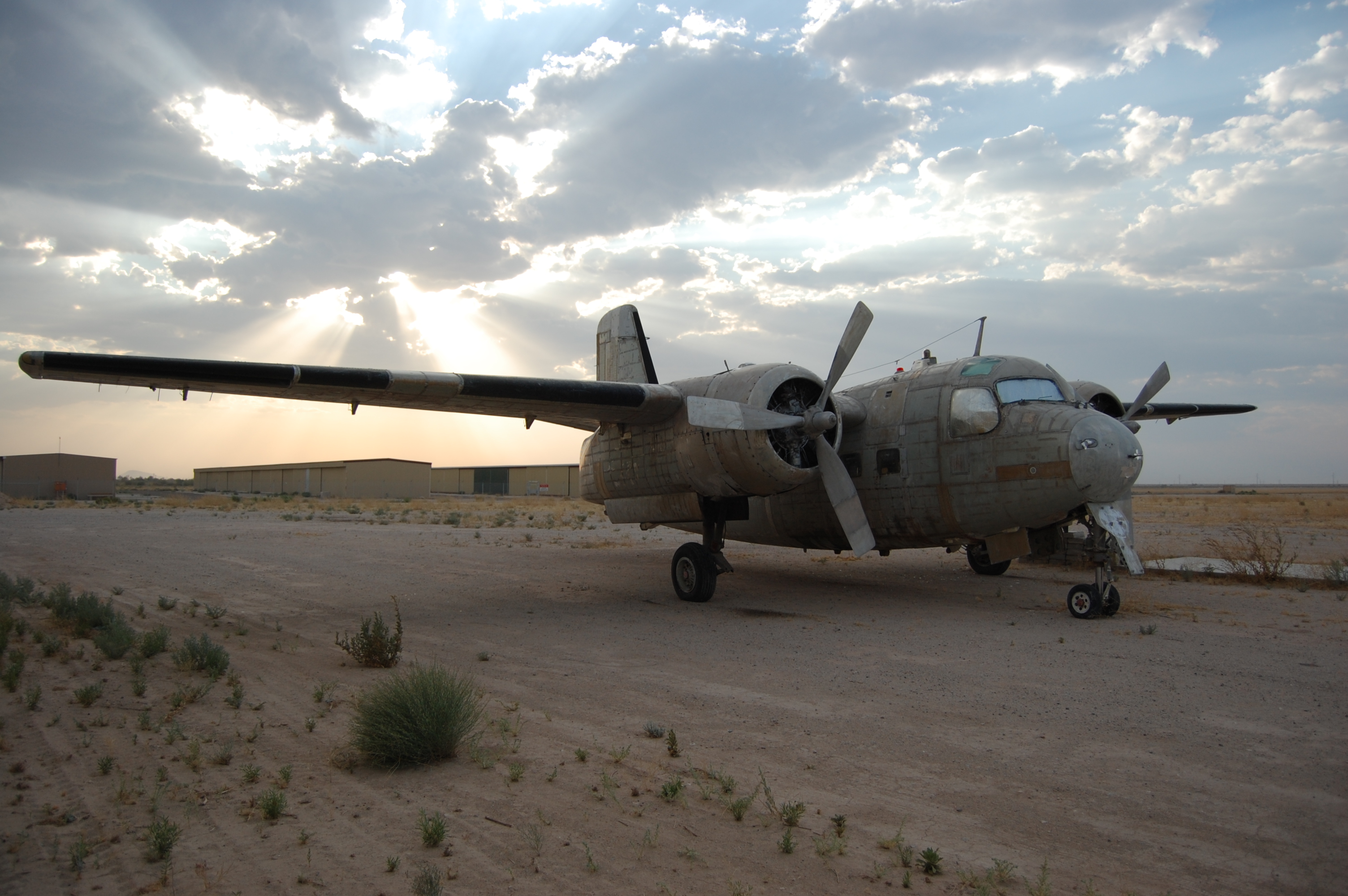
Laurisden Air Museum - Buckeye, Arizona.
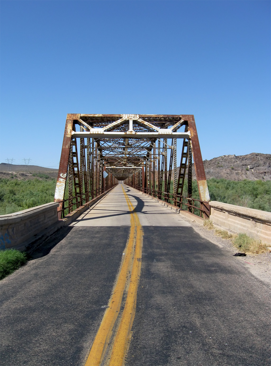
Gillespie Dam Bridge 2
Gillespie Dam Arizona
N175SF-6-D7200-sharp
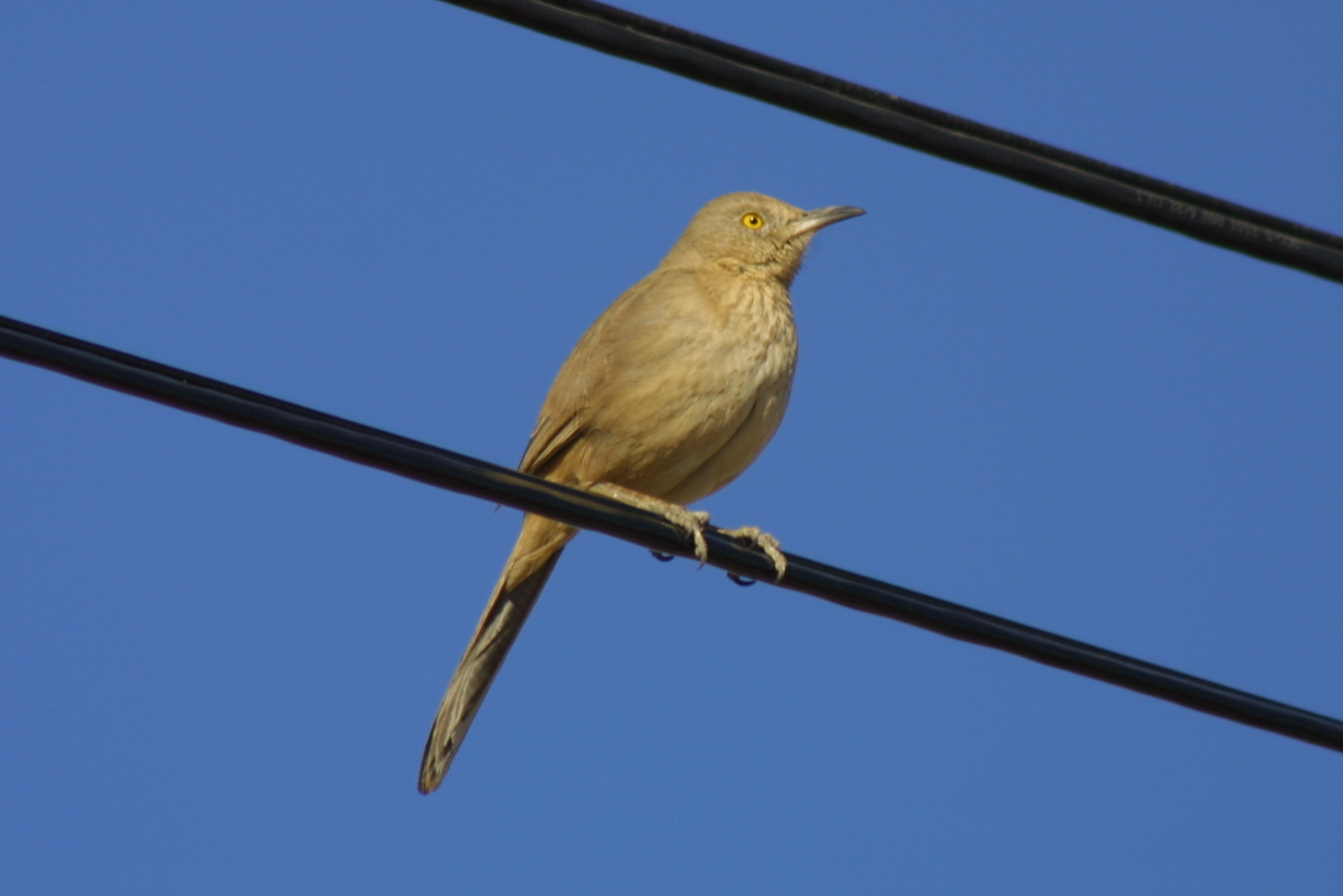
Bendire's Thrasher 5-26-16, "four corners" Tonopah AZ
#Arizona #EasterSunday #HappyEaster

Interstate 10 Eastbound Papago Freeway approaching 1 1/2 = 1.5 miles to Exit 112 - State Highway Junction Route AZ-85 Gila Bend to Interstate 8 Phoenix Bypass Route and I-10 EAST Alternate Route with this roadside sign located at Buckeye, Arizona
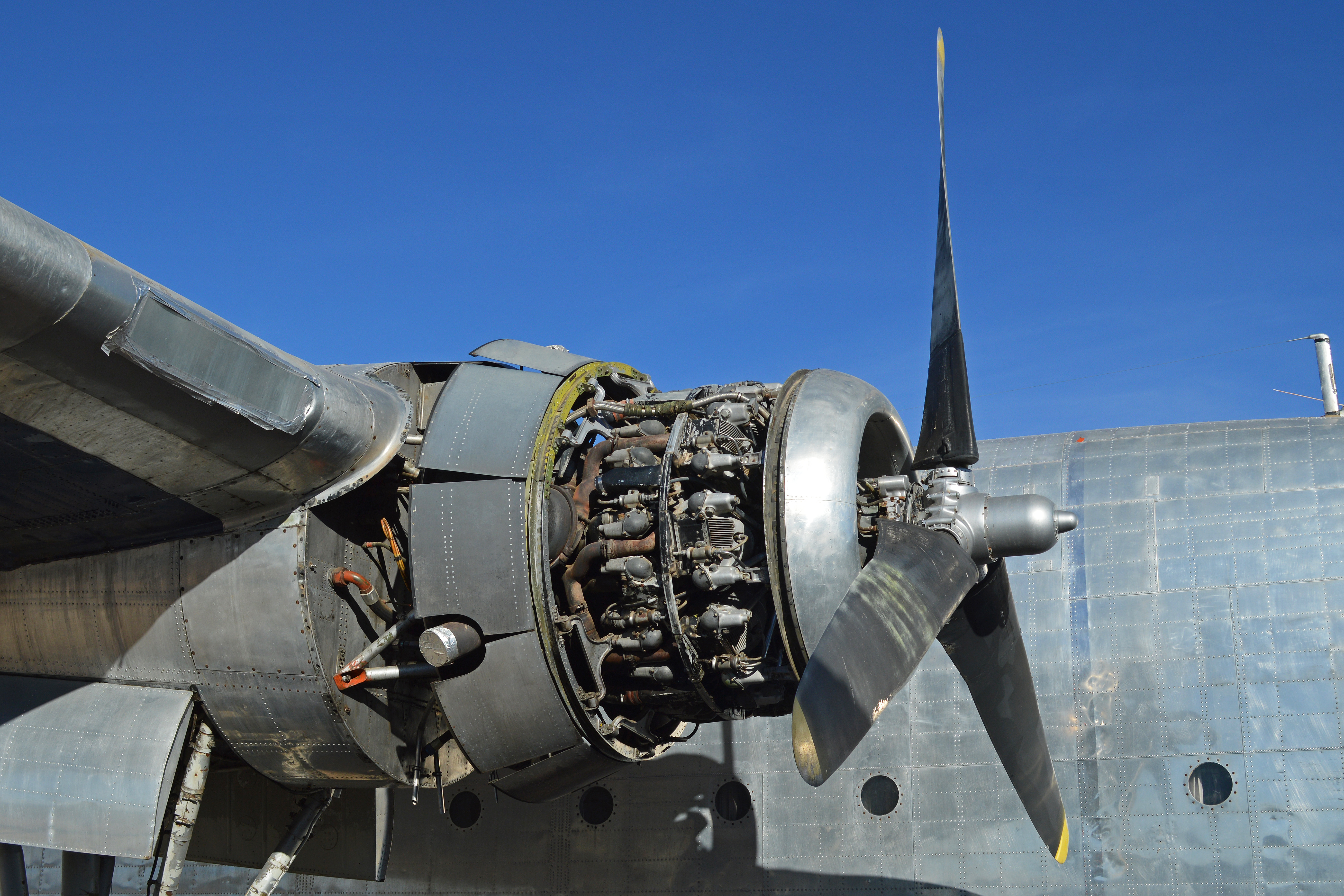
Fairchild C-119 engine detail (N15501)

{Filename

Blue Dodge Avenger_P1080987c

22313-086, Explaining the Role of The Swat Team
Bendire's Thrasher, Buckeye nr Phoenix, AZ, 2001_12_26 (4 of 7).jpg

The Old US 80 04-08-2010

The Old US 80 03-29-2010
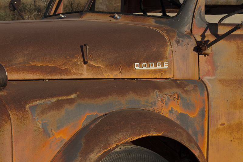
Dodge Tuff

Gillespie Dam, Arizona

Gillespie Dam Bridge, Arizona
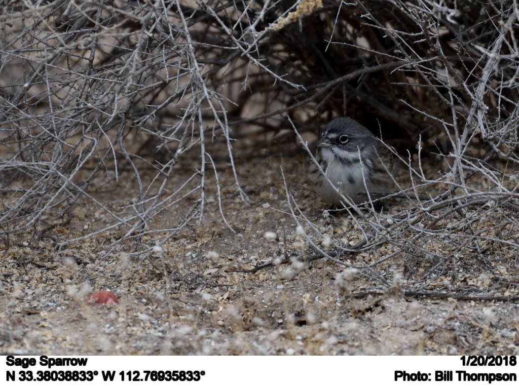
Sage Sparrow
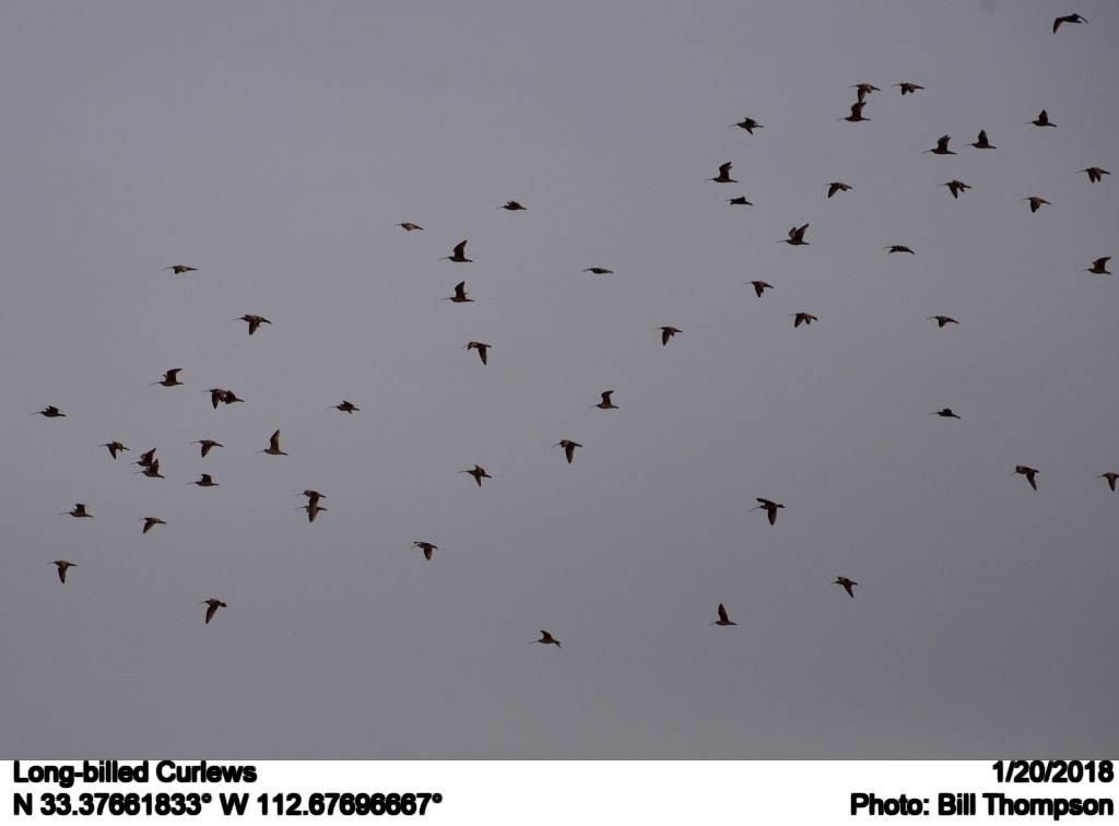
Long-billed Curlews
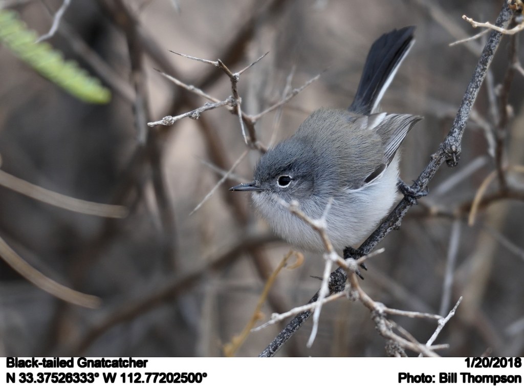
Black-tailed Gnatcatcher
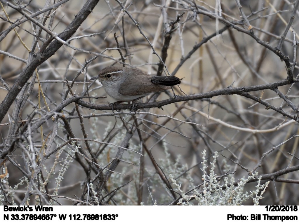
Bewick's Wren
アメリカ合衆国 〒 アリゾナ州 アーリントンの地図
別の場所を検索
近所の場所
S th Ave, Tonopah, AZ アメリカ合衆国
S th Ave, Tonopah, AZ アメリカ合衆国
W Old Hwy 80, Palo Verde, AZ アメリカ合衆国
アメリカ合衆国 〒 アリゾナ州 パロ・ヴェルデ
Buckeye Hills Dr, Buckeye, AZ アメリカ合衆国
N th Ave, Tonopah, AZ アメリカ合衆国
N th Ave, Tonopah, AZ アメリカ合衆国ノース th アベニュー
アメリカ合衆国 〒 アリゾナ州 バレー・ビュー・ランチェット
アメリカ合衆国 〒 アリゾナ州 バックアイ ターテッソ
W Indian School Rd, Tonopah, AZ アメリカ合衆国
W Fairmount Ave, Buckeye, AZ アメリカ合衆国
W Victory St, Buckeye, AZ アメリカ合衆国ウェスト・ビクトリー・ストリート
アメリカ合衆国 アリゾナ州 バックアイ
アメリカ合衆国 〒 アリゾナ州 バックアイ ウェストパーク
アメリカ合衆国 〒 アリゾナ州 バックアイ
W Euclid Ave, Buckeye, AZ アメリカ合衆国
W Whyman Ave, Buckeye, AZ アメリカ合衆国
アメリカ合衆国 〒 アリゾナ州 バックアイ ワトソン・エステーツ
W Crivello Ave, Buckeye, AZ アメリカ合衆国
アメリカ合衆国 〒 アリゾナ州 トノパー
最近の検索
- W Granada St, Tampa, FL アメリカ合衆国日の出日の入り時間
- メキシコ 〒 オアハカ サンタ・マリア・ハラパ・デル・マルケス日の出日の入り時間
- Pykes Down, Ivybridge PL21 0BY イギリス日の出日の入り時間
- Wuzhi Mountain, Wuzhishan City, 中華人民共和国日の出日の入り時間
- Ehenbichl, Austria日の出日の入り時間
- Bilohirs'k日の出日の入り時間
- Nedre Storvollen, Kvaløysletta, ノルウェー日の出日の入り時間
- Unnamed Road, Respublika Severnaya Osetiya — Alaniya, ロシア日の出日の入り時間
- Herbage Dr, Gulfport, MS アメリカ合衆国日の出日の入り時間
- Pointe-au-Père, Rimouski, QC, Canada日の出日の入り時間