インド 〒 ウッタランチャル アガストミュニ日の出日の入り時間
Location: インド > ウッタランチャル > インド 〒 ウッタランチャル ルドラプラヤッグ >
時間帯:
Asia/Calcutta
現地時間:
2024-04-18 17:26:17
経度:
79.0263645
緯度:
30.3907251
今日の日の出時刻:
05:42:42 AM
今日の日の入時刻:
06:43:33 PM
今日の日長:
13h 0m 51s
明日の日の出時刻:
05:41:38 AM
明日の日の入時刻:
06:44:12 PM
明日の日長:
13h 2m 34s
すべて表示する
| 日付 | 日出 | 日没 | 日長 |
|---|---|---|---|
| 2024年01月01日 | 07:10:30 AM | 05:23:59 PM | 10h 13m 29s |
| 2024年01月02日 | 07:10:44 AM | 05:24:41 PM | 10h 13m 57s |
| 2024年01月03日 | 07:10:56 AM | 05:25:25 PM | 10h 14m 29s |
| 2024年01月04日 | 07:11:07 AM | 05:26:09 PM | 10h 15m 2s |
| 2024年01月05日 | 07:11:16 AM | 05:26:54 PM | 10h 15m 38s |
| 2024年01月06日 | 07:11:23 AM | 05:27:40 PM | 10h 16m 17s |
| 2024年01月07日 | 07:11:29 AM | 05:28:27 PM | 10h 16m 58s |
| 2024年01月08日 | 07:11:33 AM | 05:29:14 PM | 10h 17m 41s |
| 2024年01月09日 | 07:11:36 AM | 05:30:02 PM | 10h 18m 26s |
| 2024年01月10日 | 07:11:36 AM | 05:30:51 PM | 10h 19m 15s |
| 2024年01月11日 | 07:11:35 AM | 05:31:40 PM | 10h 20m 5s |
| 2024年01月12日 | 07:11:33 AM | 05:32:30 PM | 10h 20m 57s |
| 2024年01月13日 | 07:11:28 AM | 05:33:20 PM | 10h 21m 52s |
| 2024年01月14日 | 07:11:22 AM | 05:34:11 PM | 10h 22m 49s |
| 2024年01月15日 | 07:11:14 AM | 05:35:02 PM | 10h 23m 48s |
| 2024年01月16日 | 07:11:05 AM | 05:35:53 PM | 10h 24m 48s |
| 2024年01月17日 | 07:10:54 AM | 05:36:45 PM | 10h 25m 51s |
| 2024年01月18日 | 07:10:41 AM | 05:37:37 PM | 10h 26m 56s |
| 2024年01月19日 | 07:10:27 AM | 05:38:29 PM | 10h 28m 2s |
| 2024年01月20日 | 07:10:10 AM | 05:39:21 PM | 10h 29m 11s |
| 2024年01月21日 | 07:09:53 AM | 05:40:14 PM | 10h 30m 21s |
| 2024年01月22日 | 07:09:33 AM | 05:41:07 PM | 10h 31m 34s |
| 2024年01月23日 | 07:09:12 AM | 05:42:00 PM | 10h 32m 48s |
| 2024年01月24日 | 07:08:50 AM | 05:42:52 PM | 10h 34m 2s |
| 2024年01月25日 | 07:08:25 AM | 05:43:45 PM | 10h 35m 20s |
| 2024年01月26日 | 07:07:59 AM | 05:44:38 PM | 10h 36m 39s |
| 2024年01月27日 | 07:07:32 AM | 05:45:31 PM | 10h 37m 59s |
| 2024年01月28日 | 07:07:03 AM | 05:46:24 PM | 10h 39m 21s |
| 2024年01月29日 | 07:06:33 AM | 05:47:16 PM | 10h 40m 43s |
| 2024年01月30日 | 07:06:01 AM | 05:48:09 PM | 10h 42m 8s |
| 2024年01月31日 | 07:05:27 AM | 05:49:01 PM | 10h 43m 34s |
| 2024年02月01日 | 07:04:52 AM | 05:49:54 PM | 10h 45m 2s |
| 2024年02月02日 | 07:04:16 AM | 05:50:46 PM | 10h 46m 30s |
| 2024年02月03日 | 07:03:38 AM | 05:51:38 PM | 10h 48m 0s |
| 2024年02月04日 | 07:02:59 AM | 05:52:29 PM | 10h 49m 30s |
| 2024年02月05日 | 07:02:18 AM | 05:53:21 PM | 10h 51m 3s |
| 2024年02月06日 | 07:01:36 AM | 05:54:12 PM | 10h 52m 36s |
| 2024年02月07日 | 07:00:53 AM | 05:55:03 PM | 10h 54m 10s |
| 2024年02月08日 | 07:00:09 AM | 05:55:53 PM | 10h 55m 44s |
| 2024年02月09日 | 06:59:23 AM | 05:56:43 PM | 10h 57m 20s |
| 2024年02月10日 | 06:58:36 AM | 05:57:33 PM | 10h 58m 57s |
| 2024年02月11日 | 06:57:47 AM | 05:58:23 PM | 11h 0m 36s |
| 2024年02月12日 | 06:56:58 AM | 05:59:12 PM | 11h 2m 14s |
| 2024年02月13日 | 06:56:07 AM | 06:00:01 PM | 11h 3m 54s |
| 2024年02月14日 | 06:55:15 AM | 06:00:50 PM | 11h 5m 35s |
| 2024年02月15日 | 06:54:22 AM | 06:01:38 PM | 11h 7m 16s |
| 2024年02月16日 | 06:53:28 AM | 06:02:26 PM | 11h 8m 58s |
| 2024年02月17日 | 06:52:33 AM | 06:03:13 PM | 11h 10m 40s |
| 2024年02月18日 | 06:51:37 AM | 06:04:00 PM | 11h 12m 23s |
| 2024年02月19日 | 06:50:40 AM | 06:04:47 PM | 11h 14m 7s |
| 2024年02月20日 | 06:49:42 AM | 06:05:33 PM | 11h 15m 51s |
| 2024年02月21日 | 06:48:43 AM | 06:06:19 PM | 11h 17m 36s |
| 2024年02月22日 | 06:47:43 AM | 06:07:04 PM | 11h 19m 21s |
| 2024年02月23日 | 06:46:43 AM | 06:07:50 PM | 11h 21m 7s |
| 2024年02月24日 | 06:45:41 AM | 06:08:34 PM | 11h 22m 53s |
| 2024年02月25日 | 06:44:39 AM | 06:09:19 PM | 11h 24m 40s |
| 2024年02月26日 | 06:43:35 AM | 06:10:03 PM | 11h 26m 28s |
| 2024年02月27日 | 06:42:31 AM | 06:10:47 PM | 11h 28m 16s |
| 2024年02月28日 | 06:41:27 AM | 06:11:30 PM | 11h 30m 3s |
| 2024年02月29日 | 06:40:21 AM | 06:12:13 PM | 11h 31m 52s |
| 2024年03月01日 | 06:39:15 AM | 06:12:56 PM | 11h 33m 41s |
| 2024年03月02日 | 06:38:08 AM | 06:13:38 PM | 11h 35m 30s |
| 2024年03月03日 | 06:37:01 AM | 06:14:20 PM | 11h 37m 19s |
| 2024年03月04日 | 06:35:53 AM | 06:15:01 PM | 11h 39m 8s |
| 2024年03月05日 | 06:34:45 AM | 06:15:43 PM | 11h 40m 58s |
| 2024年03月06日 | 06:33:36 AM | 06:16:24 PM | 11h 42m 48s |
| 2024年03月07日 | 06:32:26 AM | 06:17:04 PM | 11h 44m 38s |
| 2024年03月08日 | 06:31:16 AM | 06:17:45 PM | 11h 46m 29s |
| 2024年03月09日 | 06:30:06 AM | 06:18:25 PM | 11h 48m 19s |
| 2024年03月10日 | 06:28:55 AM | 06:19:05 PM | 11h 50m 10s |
| 2024年03月11日 | 06:27:44 AM | 06:19:45 PM | 11h 52m 1s |
| 2024年03月12日 | 06:26:32 AM | 06:20:24 PM | 11h 53m 52s |
| 2024年03月13日 | 06:25:20 AM | 06:21:03 PM | 11h 55m 43s |
| 2024年03月14日 | 06:24:08 AM | 06:21:42 PM | 11h 57m 34s |
| 2024年03月15日 | 06:22:56 AM | 06:22:21 PM | 11h 59m 25s |
| 2024年03月16日 | 06:21:43 AM | 06:22:59 PM | 12h 1m 16s |
| 2024年03月17日 | 06:20:30 AM | 06:23:38 PM | 12h 3m 8s |
| 2024年03月18日 | 06:19:17 AM | 06:24:16 PM | 12h 4m 59s |
| 2024年03月19日 | 06:18:04 AM | 06:24:54 PM | 12h 6m 50s |
| 2024年03月20日 | 06:16:50 AM | 06:25:32 PM | 12h 8m 42s |
| 2024年03月21日 | 06:15:37 AM | 06:26:10 PM | 12h 10m 33s |
| 2024年03月22日 | 06:14:23 AM | 06:26:47 PM | 12h 12m 24s |
| 2024年03月23日 | 06:13:10 AM | 06:27:25 PM | 12h 14m 15s |
| 2024年03月24日 | 06:11:56 AM | 06:28:02 PM | 12h 16m 6s |
| 2024年03月25日 | 06:10:43 AM | 06:28:39 PM | 12h 17m 56s |
| 2024年03月26日 | 06:09:29 AM | 06:29:17 PM | 12h 19m 48s |
| 2024年03月27日 | 06:08:16 AM | 06:29:54 PM | 12h 21m 38s |
| 2024年03月28日 | 06:07:03 AM | 06:30:31 PM | 12h 23m 28s |
| 2024年03月29日 | 06:05:49 AM | 06:31:08 PM | 12h 25m 19s |
| 2024年03月30日 | 06:04:36 AM | 06:31:45 PM | 12h 27m 9s |
| 2024年03月31日 | 06:03:23 AM | 06:32:22 PM | 12h 28m 59s |
| 2024年04月01日 | 06:02:11 AM | 06:32:59 PM | 12h 30m 48s |
| 2024年04月02日 | 06:00:58 AM | 06:33:36 PM | 12h 32m 38s |
| 2024年04月03日 | 05:59:46 AM | 06:34:14 PM | 12h 34m 28s |
| 2024年04月04日 | 05:58:35 AM | 06:34:51 PM | 12h 36m 16s |
| 2024年04月05日 | 05:57:23 AM | 06:35:28 PM | 12h 38m 5s |
| 2024年04月06日 | 05:56:12 AM | 06:36:05 PM | 12h 39m 53s |
| 2024年04月07日 | 05:55:01 AM | 06:36:42 PM | 12h 41m 41s |
| 2024年04月08日 | 05:53:51 AM | 06:37:20 PM | 12h 43m 29s |
| 2024年04月09日 | 05:52:41 AM | 06:37:57 PM | 12h 45m 16s |
| 2024年04月10日 | 05:51:31 AM | 06:38:34 PM | 12h 47m 3s |
| 2024年04月11日 | 05:50:22 AM | 06:39:12 PM | 12h 48m 50s |
| 2024年04月12日 | 05:49:14 AM | 06:39:50 PM | 12h 50m 36s |
| 2024年04月13日 | 05:48:06 AM | 06:40:27 PM | 12h 52m 21s |
| 2024年04月14日 | 05:46:59 AM | 06:41:05 PM | 12h 54m 6s |
| 2024年04月15日 | 05:45:52 AM | 06:41:43 PM | 12h 55m 51s |
| 2024年04月16日 | 05:44:46 AM | 06:42:21 PM | 12h 57m 35s |
| 2024年04月17日 | 05:43:41 AM | 06:42:59 PM | 12h 59m 18s |
| 2024年04月18日 | 05:42:36 AM | 06:43:37 PM | 13h 1m 1s |
| 2024年04月19日 | 05:41:32 AM | 06:44:16 PM | 13h 2m 44s |
| 2024年04月20日 | 05:40:28 AM | 06:44:54 PM | 13h 4m 26s |
| 2024年04月21日 | 05:39:26 AM | 06:45:33 PM | 13h 6m 7s |
| 2024年04月22日 | 05:38:24 AM | 06:46:12 PM | 13h 7m 48s |
| 2024年04月23日 | 05:37:23 AM | 06:46:50 PM | 13h 9m 27s |
| 2024年04月24日 | 05:36:23 AM | 06:47:29 PM | 13h 11m 6s |
| 2024年04月25日 | 05:35:23 AM | 06:48:08 PM | 13h 12m 45s |
| 2024年04月26日 | 05:34:25 AM | 06:48:47 PM | 13h 14m 22s |
| 2024年04月27日 | 05:33:28 AM | 06:49:27 PM | 13h 15m 59s |
| 2024年04月28日 | 05:32:31 AM | 06:50:06 PM | 13h 17m 35s |
| 2024年04月29日 | 05:31:35 AM | 06:50:45 PM | 13h 19m 10s |
| 2024年04月30日 | 05:30:41 AM | 06:51:25 PM | 13h 20m 44s |
| 2024年05月01日 | 05:29:47 AM | 06:52:04 PM | 13h 22m 17s |
| 2024年05月02日 | 05:28:54 AM | 06:52:44 PM | 13h 23m 50s |
| 2024年05月03日 | 05:28:03 AM | 06:53:23 PM | 13h 25m 20s |
| 2024年05月04日 | 05:27:12 AM | 06:54:03 PM | 13h 26m 51s |
| 2024年05月05日 | 05:26:23 AM | 06:54:43 PM | 13h 28m 20s |
| 2024年05月06日 | 05:25:35 AM | 06:55:22 PM | 13h 29m 47s |
| 2024年05月07日 | 05:24:48 AM | 06:56:02 PM | 13h 31m 14s |
| 2024年05月08日 | 05:24:02 AM | 06:56:42 PM | 13h 32m 40s |
| 2024年05月09日 | 05:23:17 AM | 06:57:21 PM | 13h 34m 4s |
| 2024年05月10日 | 05:22:33 AM | 06:58:01 PM | 13h 35m 28s |
| 2024年05月11日 | 05:21:51 AM | 06:58:40 PM | 13h 36m 49s |
| 2024年05月12日 | 05:21:10 AM | 06:59:20 PM | 13h 38m 10s |
| 2024年05月13日 | 05:20:30 AM | 06:59:59 PM | 13h 39m 29s |
| 2024年05月14日 | 05:19:52 AM | 07:00:38 PM | 13h 40m 46s |
| 2024年05月15日 | 05:19:14 AM | 07:01:17 PM | 13h 42m 3s |
| 2024年05月16日 | 05:18:38 AM | 07:01:56 PM | 13h 43m 18s |
| 2024年05月17日 | 05:18:04 AM | 07:02:34 PM | 13h 44m 30s |
| 2024年05月18日 | 05:17:30 AM | 07:03:12 PM | 13h 45m 42s |
| 2024年05月19日 | 05:16:58 AM | 07:03:51 PM | 13h 46m 53s |
| 2024年05月20日 | 05:16:28 AM | 07:04:28 PM | 13h 48m 0s |
| 2024年05月21日 | 05:15:59 AM | 07:05:06 PM | 13h 49m 7s |
| 2024年05月22日 | 05:15:31 AM | 07:05:43 PM | 13h 50m 12s |
| 2024年05月23日 | 05:15:04 AM | 07:06:20 PM | 13h 51m 16s |
| 2024年05月24日 | 05:14:39 AM | 07:06:56 PM | 13h 52m 17s |
| 2024年05月25日 | 05:14:16 AM | 07:07:32 PM | 13h 53m 16s |
| 2024年05月26日 | 05:13:53 AM | 07:08:08 PM | 13h 54m 15s |
| 2024年05月27日 | 05:13:33 AM | 07:08:43 PM | 13h 55m 10s |
| 2024年05月28日 | 05:13:13 AM | 07:09:17 PM | 13h 56m 4s |
| 2024年05月29日 | 05:12:55 AM | 07:09:51 PM | 13h 56m 56s |
| 2024年05月30日 | 05:12:39 AM | 07:10:25 PM | 13h 57m 46s |
| 2024年05月31日 | 05:12:24 AM | 07:10:58 PM | 13h 58m 34s |
| 2024年06月01日 | 05:12:10 AM | 07:11:30 PM | 13h 59m 20s |
| 2024年06月02日 | 05:11:58 AM | 07:12:01 PM | 14h 0m 3s |
| 2024年06月03日 | 05:11:47 AM | 07:12:32 PM | 14h 0m 45s |
| 2024年06月04日 | 05:11:38 AM | 07:13:02 PM | 14h 1m 24s |
| 2024年06月05日 | 05:11:30 AM | 07:13:31 PM | 14h 2m 1s |
| 2024年06月06日 | 05:11:24 AM | 07:14:00 PM | 14h 2m 36s |
| 2024年06月07日 | 05:11:19 AM | 07:14:27 PM | 14h 3m 8s |
| 2024年06月08日 | 05:11:15 AM | 07:14:54 PM | 14h 3m 39s |
| 2024年06月09日 | 05:11:13 AM | 07:15:20 PM | 14h 4m 7s |
| 2024年06月10日 | 05:11:12 AM | 07:15:45 PM | 14h 4m 33s |
| 2024年06月11日 | 05:11:12 AM | 07:16:09 PM | 14h 4m 57s |
| 2024年06月12日 | 05:11:14 AM | 07:16:32 PM | 14h 5m 18s |
| 2024年06月13日 | 05:11:17 AM | 07:16:54 PM | 14h 5m 37s |
| 2024年06月14日 | 05:11:22 AM | 07:17:15 PM | 14h 5m 53s |
| 2024年06月15日 | 05:11:28 AM | 07:17:35 PM | 14h 6m 7s |
| 2024年06月16日 | 05:11:35 AM | 07:17:54 PM | 14h 6m 19s |
| 2024年06月17日 | 05:11:43 AM | 07:18:11 PM | 14h 6m 28s |
| 2024年06月18日 | 05:11:53 AM | 07:18:28 PM | 14h 6m 35s |
| 2024年06月19日 | 05:12:04 AM | 07:18:43 PM | 14h 6m 39s |
| 2024年06月20日 | 05:12:16 AM | 07:18:57 PM | 14h 6m 41s |
| 2024年06月21日 | 05:12:29 AM | 07:19:10 PM | 14h 6m 41s |
| 2024年06月22日 | 05:12:44 AM | 07:19:21 PM | 14h 6m 37s |
| 2024年06月23日 | 05:12:59 AM | 07:19:32 PM | 14h 6m 33s |
| 2024年06月24日 | 05:13:16 AM | 07:19:41 PM | 14h 6m 25s |
| 2024年06月25日 | 05:13:34 AM | 07:19:48 PM | 14h 6m 14s |
| 2024年06月26日 | 05:13:53 AM | 07:19:55 PM | 14h 6m 2s |
| 2024年06月27日 | 05:14:13 AM | 07:20:00 PM | 14h 5m 47s |
| 2024年06月28日 | 05:14:33 AM | 07:20:03 PM | 14h 5m 30s |
| 2024年06月29日 | 05:14:55 AM | 07:20:05 PM | 14h 5m 10s |
| 2024年06月30日 | 05:15:18 AM | 07:20:06 PM | 14h 4m 48s |
| 2024年07月01日 | 05:15:42 AM | 07:20:06 PM | 14h 4m 24s |
| 2024年07月02日 | 05:16:06 AM | 07:20:04 PM | 14h 3m 58s |
| 2024年07月03日 | 05:16:32 AM | 07:20:00 PM | 14h 3m 28s |
| 2024年07月04日 | 05:16:58 AM | 07:19:55 PM | 14h 2m 57s |
| 2024年07月05日 | 05:17:25 AM | 07:19:49 PM | 14h 2m 24s |
| 2024年07月06日 | 05:17:53 AM | 07:19:41 PM | 14h 1m 48s |
| 2024年07月07日 | 05:18:21 AM | 07:19:31 PM | 14h 1m 10s |
| 2024年07月08日 | 05:18:50 AM | 07:19:21 PM | 14h 0m 31s |
| 2024年07月09日 | 05:19:20 AM | 07:19:08 PM | 13h 59m 48s |
| 2024年07月10日 | 05:19:50 AM | 07:18:55 PM | 13h 59m 5s |
| 2024年07月11日 | 05:20:21 AM | 07:18:39 PM | 13h 58m 18s |
| 2024年07月12日 | 05:20:53 AM | 07:18:23 PM | 13h 57m 30s |
| 2024年07月13日 | 05:21:25 AM | 07:18:04 PM | 13h 56m 39s |
| 2024年07月14日 | 05:21:58 AM | 07:17:45 PM | 13h 55m 47s |
| 2024年07月15日 | 05:22:31 AM | 07:17:24 PM | 13h 54m 53s |
| 2024年07月16日 | 05:23:04 AM | 07:17:01 PM | 13h 53m 57s |
| 2024年07月17日 | 05:23:38 AM | 07:16:37 PM | 13h 52m 59s |
| 2024年07月18日 | 05:24:12 AM | 07:16:12 PM | 13h 52m 0s |
| 2024年07月19日 | 05:24:47 AM | 07:15:45 PM | 13h 50m 58s |
| 2024年07月20日 | 05:25:22 AM | 07:15:16 PM | 13h 49m 54s |
| 2024年07月21日 | 05:25:57 AM | 07:14:47 PM | 13h 48m 50s |
| 2024年07月22日 | 05:26:32 AM | 07:14:15 PM | 13h 47m 43s |
| 2024年07月23日 | 05:27:08 AM | 07:13:43 PM | 13h 46m 35s |
| 2024年07月24日 | 05:27:44 AM | 07:13:09 PM | 13h 45m 25s |
| 2024年07月25日 | 05:28:20 AM | 07:12:33 PM | 13h 44m 13s |
| 2024年07月26日 | 05:28:56 AM | 07:11:57 PM | 13h 43m 1s |
| 2024年07月27日 | 05:29:33 AM | 07:11:19 PM | 13h 41m 46s |
| 2024年07月28日 | 05:30:09 AM | 07:10:39 PM | 13h 40m 30s |
| 2024年07月29日 | 05:30:46 AM | 07:09:59 PM | 13h 39m 13s |
| 2024年07月30日 | 05:31:23 AM | 07:09:17 PM | 13h 37m 54s |
| 2024年07月31日 | 05:31:59 AM | 07:08:34 PM | 13h 36m 35s |
| 2024年08月01日 | 05:32:36 AM | 07:07:49 PM | 13h 35m 13s |
| 2024年08月02日 | 05:33:13 AM | 07:07:03 PM | 13h 33m 50s |
| 2024年08月03日 | 05:33:50 AM | 07:06:16 PM | 13h 32m 26s |
| 2024年08月04日 | 05:34:26 AM | 07:05:28 PM | 13h 31m 2s |
| 2024年08月05日 | 05:35:03 AM | 07:04:39 PM | 13h 29m 36s |
| 2024年08月06日 | 05:35:40 AM | 07:03:49 PM | 13h 28m 9s |
| 2024年08月07日 | 05:36:16 AM | 07:02:57 PM | 13h 26m 41s |
| 2024年08月08日 | 05:36:53 AM | 07:02:04 PM | 13h 25m 11s |
| 2024年08月09日 | 05:37:29 AM | 07:01:11 PM | 13h 23m 42s |
| 2024年08月10日 | 05:38:06 AM | 07:00:16 PM | 13h 22m 10s |
| 2024年08月11日 | 05:38:42 AM | 06:59:20 PM | 13h 20m 38s |
| 2024年08月12日 | 05:39:18 AM | 06:58:23 PM | 13h 19m 5s |
| 2024年08月13日 | 05:39:54 AM | 06:57:25 PM | 13h 17m 31s |
| 2024年08月14日 | 05:40:30 AM | 06:56:27 PM | 13h 15m 57s |
| 2024年08月15日 | 05:41:06 AM | 06:55:27 PM | 13h 14m 21s |
| 2024年08月16日 | 05:41:42 AM | 06:54:26 PM | 13h 12m 44s |
| 2024年08月17日 | 05:42:17 AM | 06:53:25 PM | 13h 11m 8s |
| 2024年08月18日 | 05:42:53 AM | 06:52:22 PM | 13h 9m 29s |
| 2024年08月19日 | 05:43:28 AM | 06:51:19 PM | 13h 7m 51s |
| 2024年08月20日 | 05:44:03 AM | 06:50:15 PM | 13h 6m 12s |
| 2024年08月21日 | 05:44:38 AM | 06:49:10 PM | 13h 4m 32s |
| 2024年08月22日 | 05:45:13 AM | 06:48:05 PM | 13h 2m 52s |
| 2024年08月23日 | 05:45:48 AM | 06:46:58 PM | 13h 1m 10s |
| 2024年08月24日 | 05:46:22 AM | 06:45:51 PM | 12h 59m 29s |
| 2024年08月25日 | 05:46:56 AM | 06:44:43 PM | 12h 57m 47s |
| 2024年08月26日 | 05:47:31 AM | 06:43:35 PM | 12h 56m 4s |
| 2024年08月27日 | 05:48:05 AM | 06:42:26 PM | 12h 54m 21s |
| 2024年08月28日 | 05:48:39 AM | 06:41:16 PM | 12h 52m 37s |
| 2024年08月29日 | 05:49:13 AM | 06:40:06 PM | 12h 50m 53s |
| 2024年08月30日 | 05:49:46 AM | 06:38:56 PM | 12h 49m 10s |
| 2024年08月31日 | 05:50:20 AM | 06:37:44 PM | 12h 47m 24s |
| 2024年09月01日 | 05:50:54 AM | 06:36:33 PM | 12h 45m 39s |
| 2024年09月02日 | 05:51:27 AM | 06:35:20 PM | 12h 43m 53s |
| 2024年09月03日 | 05:52:00 AM | 06:34:08 PM | 12h 42m 8s |
| 2024年09月04日 | 05:52:34 AM | 06:32:55 PM | 12h 40m 21s |
| 2024年09月05日 | 05:53:07 AM | 06:31:41 PM | 12h 38m 34s |
| 2024年09月06日 | 05:53:40 AM | 06:30:27 PM | 12h 36m 47s |
| 2024年09月07日 | 05:54:13 AM | 06:29:13 PM | 12h 35m 0s |
| 2024年09月08日 | 05:54:46 AM | 06:27:59 PM | 12h 33m 13s |
| 2024年09月09日 | 05:55:19 AM | 06:26:44 PM | 12h 31m 25s |
| 2024年09月10日 | 05:55:52 AM | 06:25:29 PM | 12h 29m 37s |
| 2024年09月11日 | 05:56:25 AM | 06:24:14 PM | 12h 27m 49s |
| 2024年09月12日 | 05:56:58 AM | 06:22:58 PM | 12h 26m 0s |
| 2024年09月13日 | 05:57:31 AM | 06:21:43 PM | 12h 24m 12s |
| 2024年09月14日 | 05:58:04 AM | 06:20:27 PM | 12h 22m 23s |
| 2024年09月15日 | 05:58:37 AM | 06:19:11 PM | 12h 20m 34s |
| 2024年09月16日 | 05:59:10 AM | 06:17:55 PM | 12h 18m 45s |
| 2024年09月17日 | 05:59:43 AM | 06:16:39 PM | 12h 16m 56s |
| 2024年09月18日 | 06:00:16 AM | 06:15:23 PM | 12h 15m 7s |
| 2024年09月19日 | 06:00:49 AM | 06:14:07 PM | 12h 13m 18s |
| 2024年09月20日 | 06:01:23 AM | 06:12:51 PM | 12h 11m 28s |
| 2024年09月21日 | 06:01:56 AM | 06:11:35 PM | 12h 9m 39s |
| 2024年09月22日 | 06:02:30 AM | 06:10:19 PM | 12h 7m 49s |
| 2024年09月23日 | 06:03:04 AM | 06:09:03 PM | 12h 5m 59s |
| 2024年09月24日 | 06:03:38 AM | 06:07:47 PM | 12h 4m 9s |
| 2024年09月25日 | 06:04:12 AM | 06:06:32 PM | 12h 2m 20s |
| 2024年09月26日 | 06:04:46 AM | 06:05:17 PM | 12h 0m 31s |
| 2024年09月27日 | 06:05:20 AM | 06:04:02 PM | 11h 58m 42s |
| 2024年09月28日 | 06:05:55 AM | 06:02:47 PM | 11h 56m 52s |
| 2024年09月29日 | 06:06:30 AM | 06:01:32 PM | 11h 55m 2s |
| 2024年09月30日 | 06:07:05 AM | 06:00:18 PM | 11h 53m 13s |
| 2024年10月01日 | 06:07:40 AM | 05:59:04 PM | 11h 51m 24s |
| 2024年10月02日 | 06:08:16 AM | 05:57:50 PM | 11h 49m 34s |
| 2024年10月03日 | 06:08:51 AM | 05:56:37 PM | 11h 47m 46s |
| 2024年10月04日 | 06:09:27 AM | 05:55:24 PM | 11h 45m 57s |
| 2024年10月05日 | 06:10:04 AM | 05:54:12 PM | 11h 44m 8s |
| 2024年10月06日 | 06:10:40 AM | 05:53:00 PM | 11h 42m 20s |
| 2024年10月07日 | 06:11:17 AM | 05:51:49 PM | 11h 40m 32s |
| 2024年10月08日 | 06:11:55 AM | 05:50:38 PM | 11h 38m 43s |
| 2024年10月09日 | 06:12:32 AM | 05:49:28 PM | 11h 36m 56s |
| 2024年10月10日 | 06:13:10 AM | 05:48:18 PM | 11h 35m 8s |
| 2024年10月11日 | 06:13:49 AM | 05:47:09 PM | 11h 33m 20s |
| 2024年10月12日 | 06:14:27 AM | 05:46:00 PM | 11h 31m 33s |
| 2024年10月13日 | 06:15:06 AM | 05:44:53 PM | 11h 29m 47s |
| 2024年10月14日 | 06:15:46 AM | 05:43:46 PM | 11h 28m 0s |
| 2024年10月15日 | 06:16:26 AM | 05:42:39 PM | 11h 26m 13s |
| 2024年10月16日 | 06:17:06 AM | 05:41:34 PM | 11h 24m 28s |
| 2024年10月17日 | 06:17:46 AM | 05:40:29 PM | 11h 22m 43s |
| 2024年10月18日 | 06:18:27 AM | 05:39:25 PM | 11h 20m 58s |
| 2024年10月19日 | 06:19:08 AM | 05:38:22 PM | 11h 19m 14s |
| 2024年10月20日 | 06:19:50 AM | 05:37:20 PM | 11h 17m 30s |
| 2024年10月21日 | 06:20:32 AM | 05:36:18 PM | 11h 15m 46s |
| 2024年10月22日 | 06:21:15 AM | 05:35:18 PM | 11h 14m 3s |
| 2024年10月23日 | 06:21:58 AM | 05:34:19 PM | 11h 12m 21s |
| 2024年10月24日 | 06:22:41 AM | 05:33:20 PM | 11h 10m 39s |
| 2024年10月25日 | 06:23:25 AM | 05:32:23 PM | 11h 8m 58s |
| 2024年10月26日 | 06:24:09 AM | 05:31:26 PM | 11h 7m 17s |
| 2024年10月27日 | 06:24:54 AM | 05:30:31 PM | 11h 5m 37s |
| 2024年10月28日 | 06:25:39 AM | 05:29:37 PM | 11h 3m 58s |
| 2024年10月29日 | 06:26:24 AM | 05:28:44 PM | 11h 2m 20s |
| 2024年10月30日 | 06:27:10 AM | 05:27:52 PM | 11h 0m 42s |
| 2024年10月31日 | 06:27:56 AM | 05:27:02 PM | 10h 59m 6s |
| 2024年11月01日 | 06:28:43 AM | 05:26:12 PM | 10h 57m 29s |
| 2024年11月02日 | 06:29:29 AM | 05:25:24 PM | 10h 55m 55s |
| 2024年11月03日 | 06:30:17 AM | 05:24:37 PM | 10h 54m 20s |
| 2024年11月04日 | 06:31:04 AM | 05:23:52 PM | 10h 52m 48s |
| 2024年11月05日 | 06:31:52 AM | 05:23:07 PM | 10h 51m 15s |
| 2024年11月06日 | 06:32:40 AM | 05:22:24 PM | 10h 49m 44s |
| 2024年11月07日 | 06:33:29 AM | 05:21:43 PM | 10h 48m 14s |
| 2024年11月08日 | 06:34:18 AM | 05:21:03 PM | 10h 46m 45s |
| 2024年11月09日 | 06:35:07 AM | 05:20:24 PM | 10h 45m 17s |
| 2024年11月10日 | 06:35:56 AM | 05:19:47 PM | 10h 43m 51s |
| 2024年11月11日 | 06:36:45 AM | 05:19:11 PM | 10h 42m 26s |
| 2024年11月12日 | 06:37:35 AM | 05:18:37 PM | 10h 41m 2s |
| 2024年11月13日 | 06:38:25 AM | 05:18:04 PM | 10h 39m 39s |
| 2024年11月14日 | 06:39:15 AM | 05:17:33 PM | 10h 38m 18s |
| 2024年11月15日 | 06:40:05 AM | 05:17:03 PM | 10h 36m 58s |
| 2024年11月16日 | 06:40:56 AM | 05:16:35 PM | 10h 35m 39s |
| 2024年11月17日 | 06:41:46 AM | 05:16:08 PM | 10h 34m 22s |
| 2024年11月18日 | 06:42:36 AM | 05:15:43 PM | 10h 33m 7s |
| 2024年11月19日 | 06:43:27 AM | 05:15:20 PM | 10h 31m 53s |
| 2024年11月20日 | 06:44:17 AM | 05:14:59 PM | 10h 30m 42s |
| 2024年11月21日 | 06:45:08 AM | 05:14:39 PM | 10h 29m 31s |
| 2024年11月22日 | 06:45:58 AM | 05:14:20 PM | 10h 28m 22s |
| 2024年11月23日 | 06:46:48 AM | 05:14:04 PM | 10h 27m 16s |
| 2024年11月24日 | 06:47:38 AM | 05:13:49 PM | 10h 26m 11s |
| 2024年11月25日 | 06:48:28 AM | 05:13:36 PM | 10h 25m 8s |
| 2024年11月26日 | 06:49:17 AM | 05:13:24 PM | 10h 24m 7s |
| 2024年11月27日 | 06:50:07 AM | 05:13:14 PM | 10h 23m 7s |
| 2024年11月28日 | 06:50:56 AM | 05:13:06 PM | 10h 22m 10s |
| 2024年11月29日 | 06:51:44 AM | 05:13:00 PM | 10h 21m 16s |
| 2024年11月30日 | 06:52:33 AM | 05:12:56 PM | 10h 20m 23s |
| 2024年12月01日 | 06:53:21 AM | 05:12:53 PM | 10h 19m 32s |
| 2024年12月02日 | 06:54:08 AM | 05:12:52 PM | 10h 18m 44s |
| 2024年12月03日 | 06:54:55 AM | 05:12:52 PM | 10h 17m 57s |
| 2024年12月04日 | 06:55:41 AM | 05:12:55 PM | 10h 17m 14s |
| 2024年12月05日 | 06:56:27 AM | 05:12:59 PM | 10h 16m 32s |
| 2024年12月06日 | 06:57:12 AM | 05:13:04 PM | 10h 15m 52s |
| 2024年12月07日 | 06:57:56 AM | 05:13:12 PM | 10h 15m 16s |
| 2024年12月08日 | 06:58:40 AM | 05:13:21 PM | 10h 14m 41s |
| 2024年12月09日 | 06:59:23 AM | 05:13:32 PM | 10h 14m 9s |
| 2024年12月10日 | 07:00:05 AM | 05:13:44 PM | 10h 13m 39s |
| 2024年12月11日 | 07:00:46 AM | 05:13:59 PM | 10h 13m 13s |
| 2024年12月12日 | 07:01:26 AM | 05:14:14 PM | 10h 12m 48s |
| 2024年12月13日 | 07:02:06 AM | 05:14:32 PM | 10h 12m 26s |
| 2024年12月14日 | 07:02:44 AM | 05:14:51 PM | 10h 12m 7s |
| 2024年12月15日 | 07:03:21 AM | 05:15:11 PM | 10h 11m 50s |
| 2024年12月16日 | 07:03:57 AM | 05:15:33 PM | 10h 11m 36s |
| 2024年12月17日 | 07:04:32 AM | 05:15:57 PM | 10h 11m 25s |
| 2024年12月18日 | 07:05:06 AM | 05:16:22 PM | 10h 11m 16s |
| 2024年12月19日 | 07:05:39 AM | 05:16:49 PM | 10h 11m 10s |
| 2024年12月20日 | 07:06:11 AM | 05:17:17 PM | 10h 11m 6s |
| 2024年12月21日 | 07:06:41 AM | 05:17:46 PM | 10h 11m 5s |
| 2024年12月22日 | 07:07:10 AM | 05:18:17 PM | 10h 11m 7s |
| 2024年12月23日 | 07:07:37 AM | 05:18:49 PM | 10h 11m 12s |
| 2024年12月24日 | 07:08:04 AM | 05:19:22 PM | 10h 11m 18s |
| 2024年12月25日 | 07:08:28 AM | 05:19:57 PM | 10h 11m 29s |
| 2024年12月26日 | 07:08:52 AM | 05:20:33 PM | 10h 11m 41s |
| 2024年12月27日 | 07:09:14 AM | 05:21:10 PM | 10h 11m 56s |
| 2024年12月28日 | 07:09:34 AM | 05:21:48 PM | 10h 12m 14s |
| 2024年12月29日 | 07:09:53 AM | 05:22:27 PM | 10h 12m 34s |
| 2024年12月30日 | 07:10:11 AM | 05:23:07 PM | 10h 12m 56s |
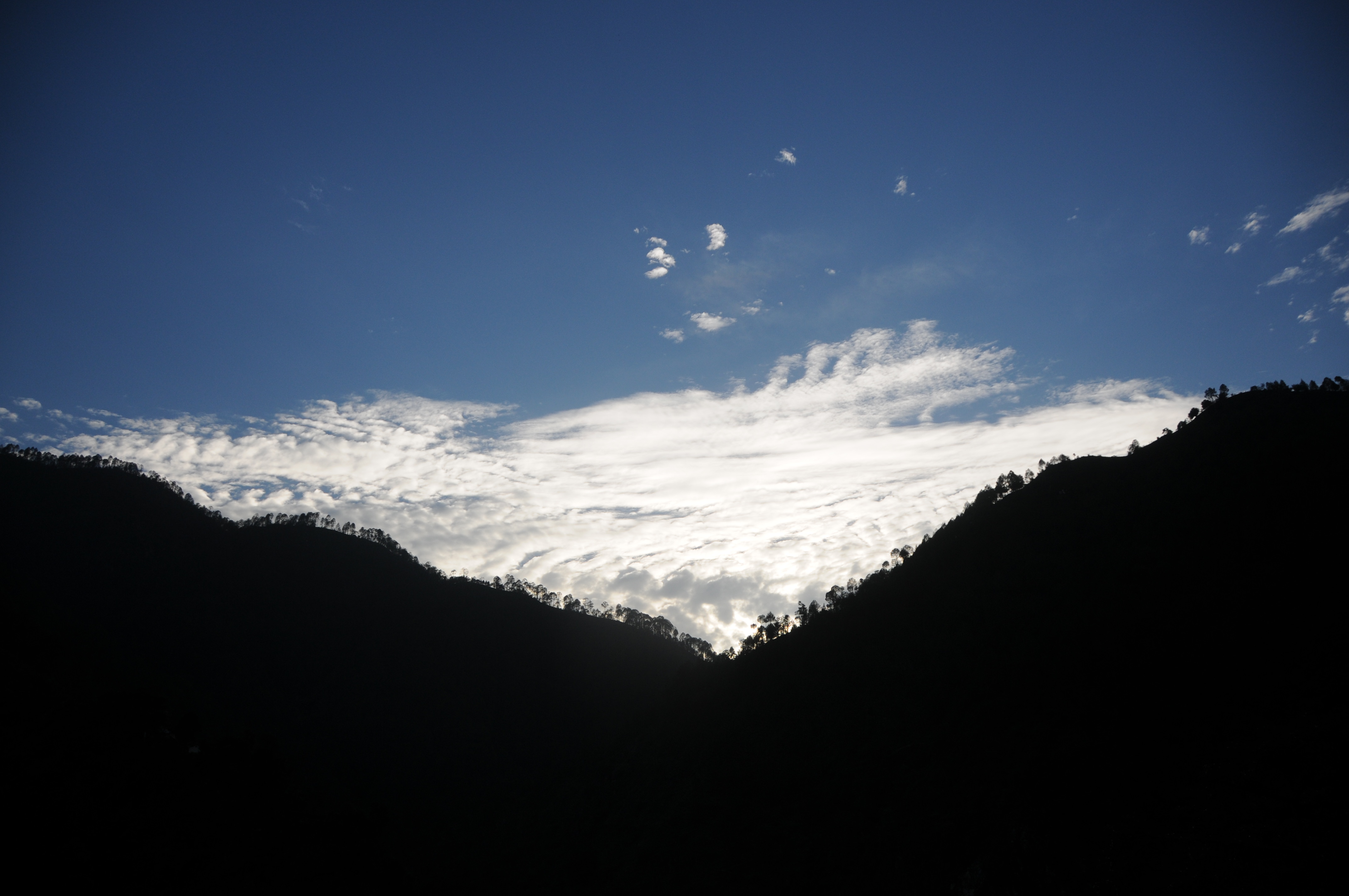
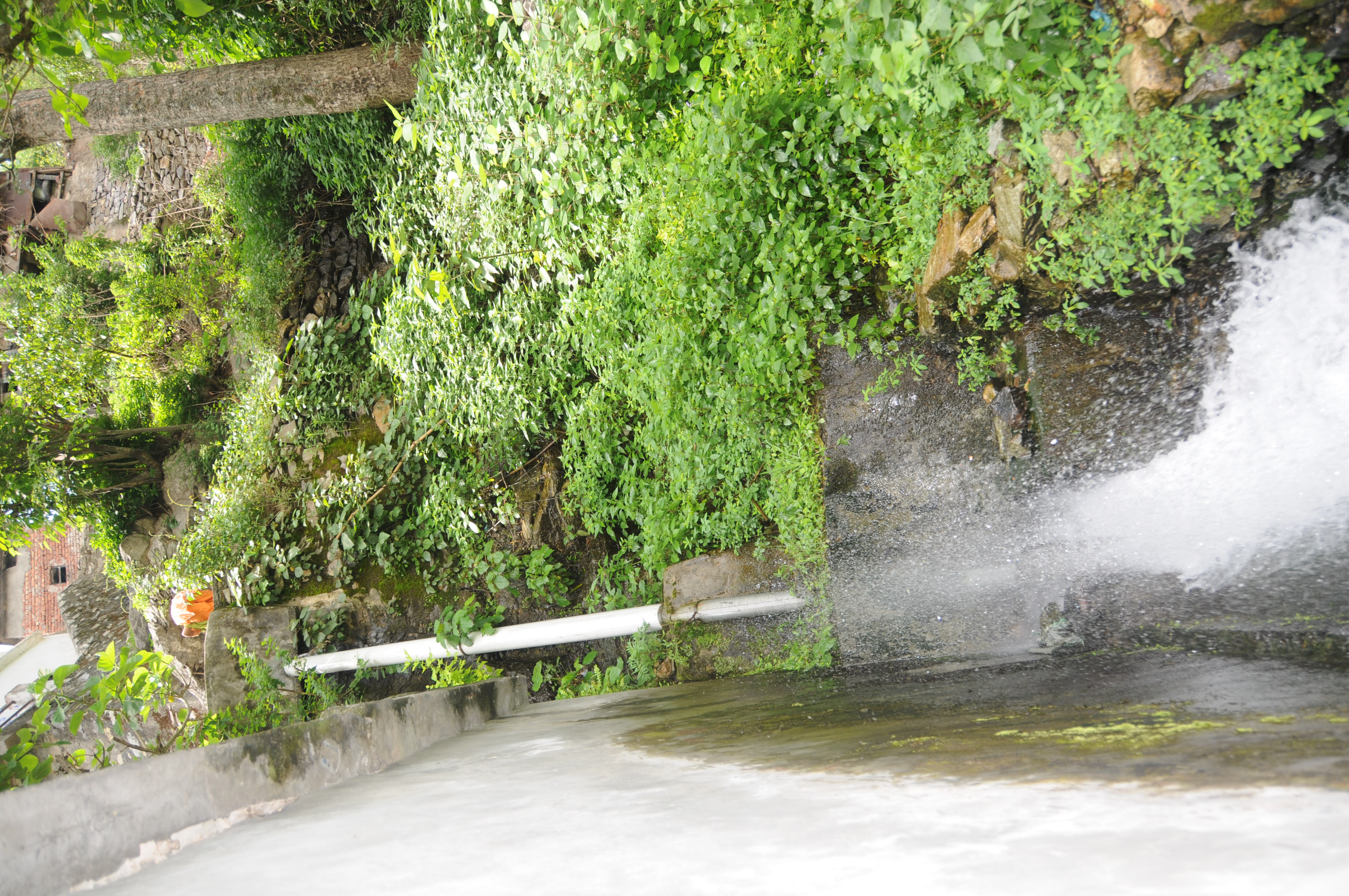
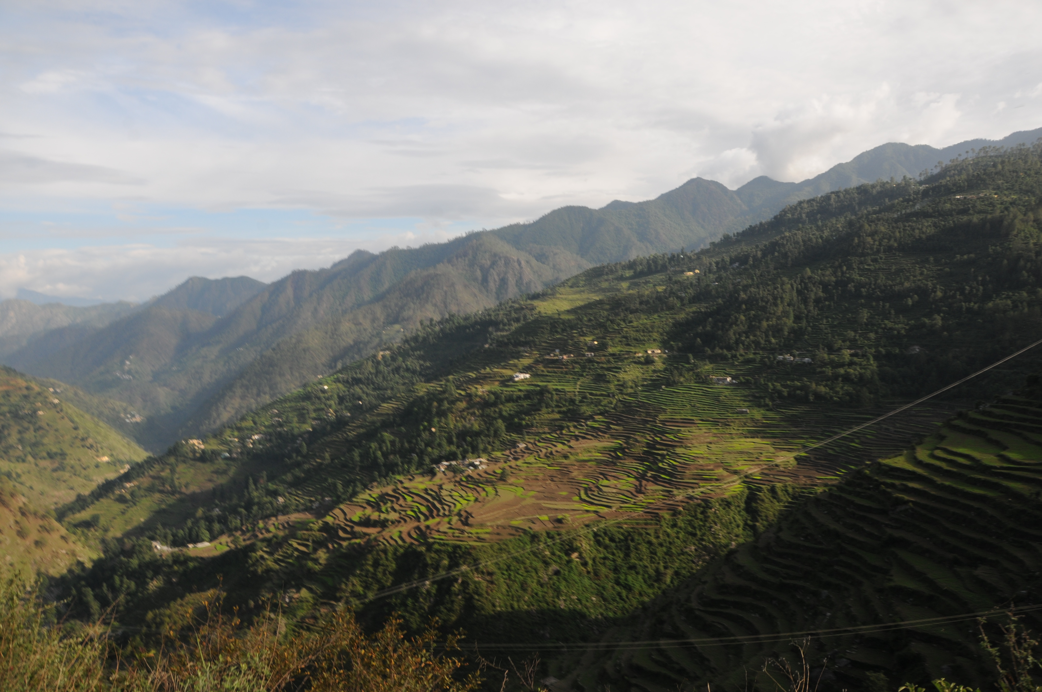
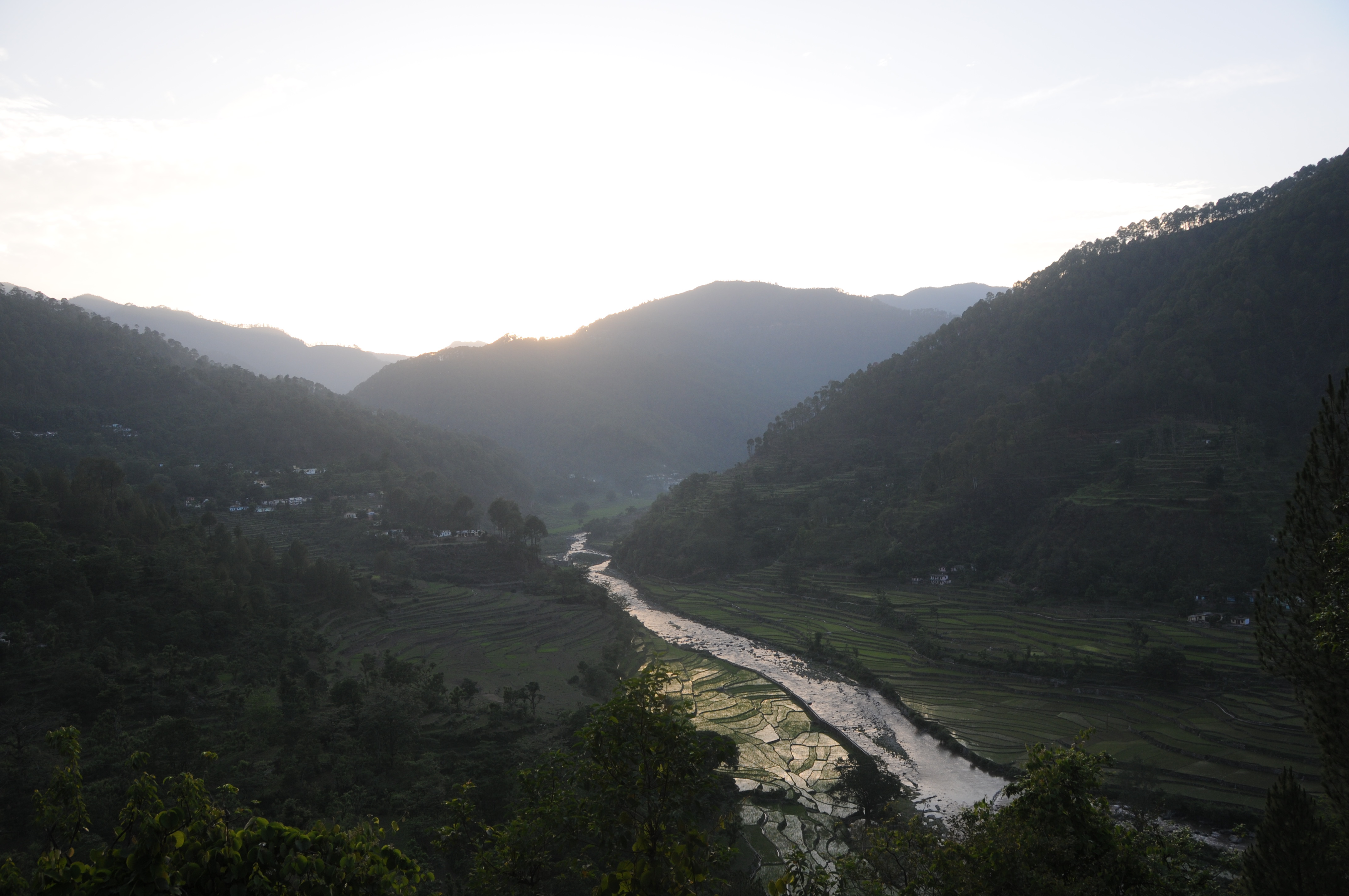
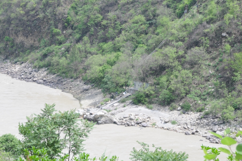
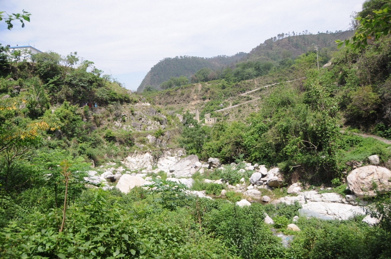
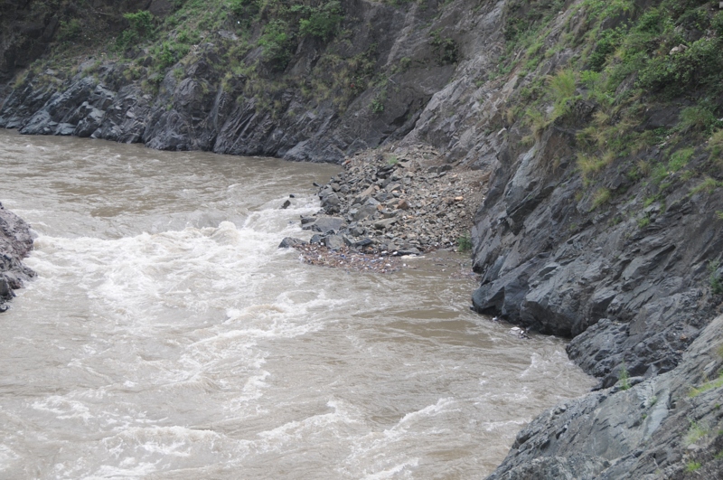
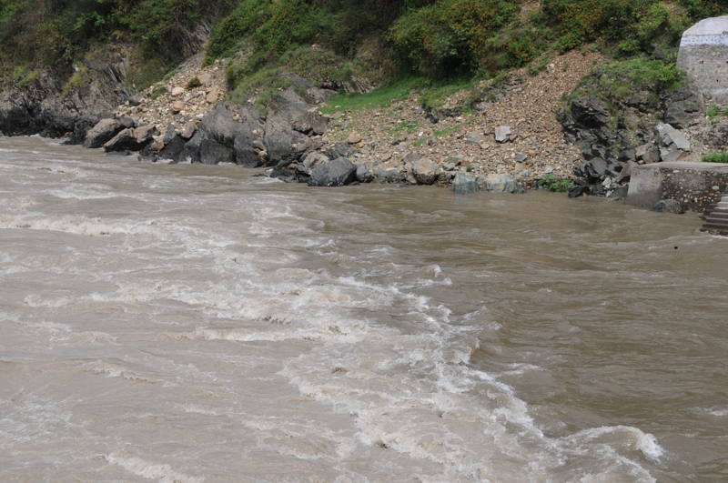
写真
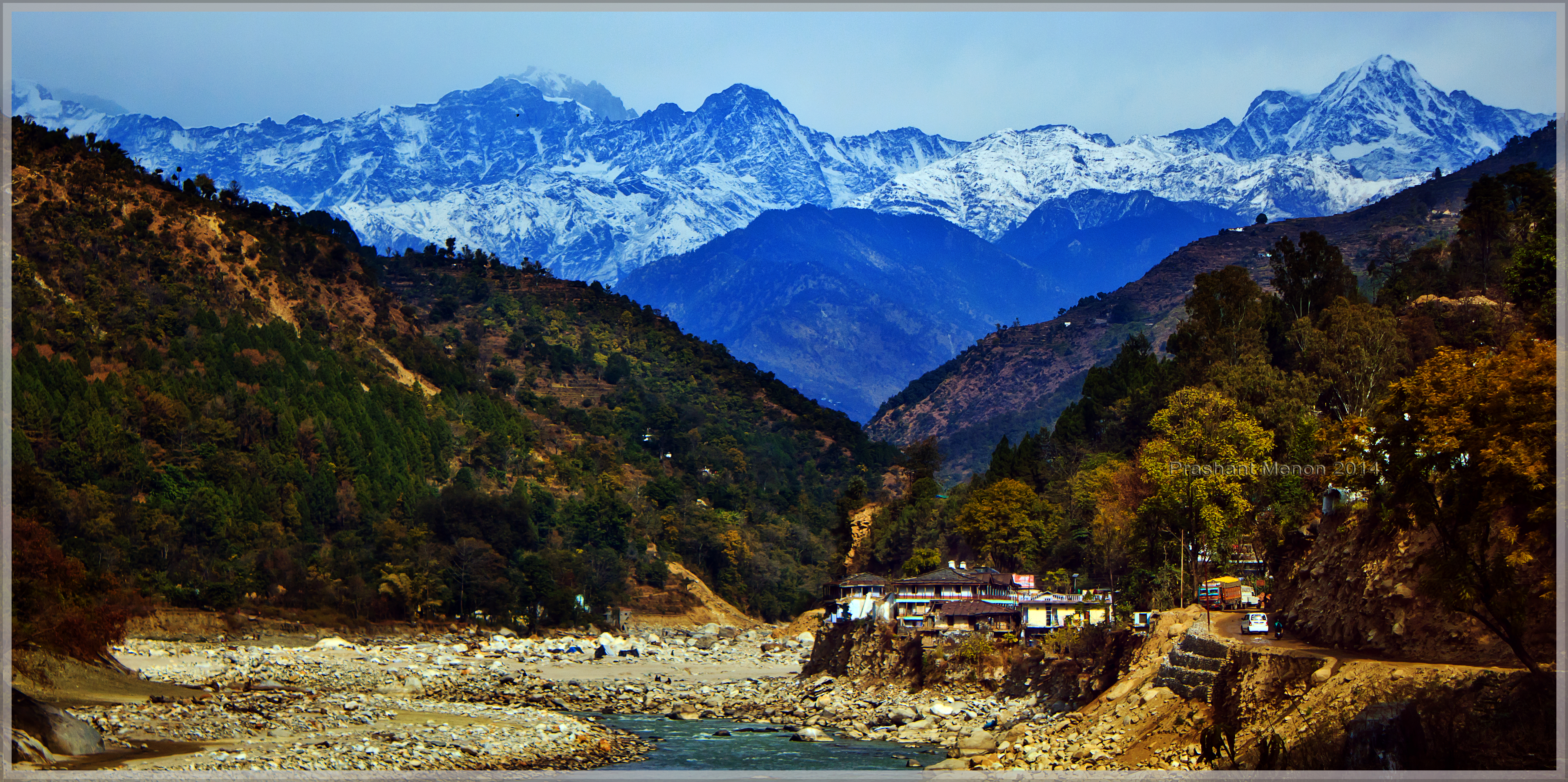
View of the snow caped Kedar sector of Gharwal Himalayas from near Sayalsur
CSP_3014.JPG
CSP_2966.JPG
CSP_2965.JPG

CSP_2980.JPG
CSP_2967.JPG
CSP_3018.JPG
CSP_2948.JPG
CSP_2979.JPG
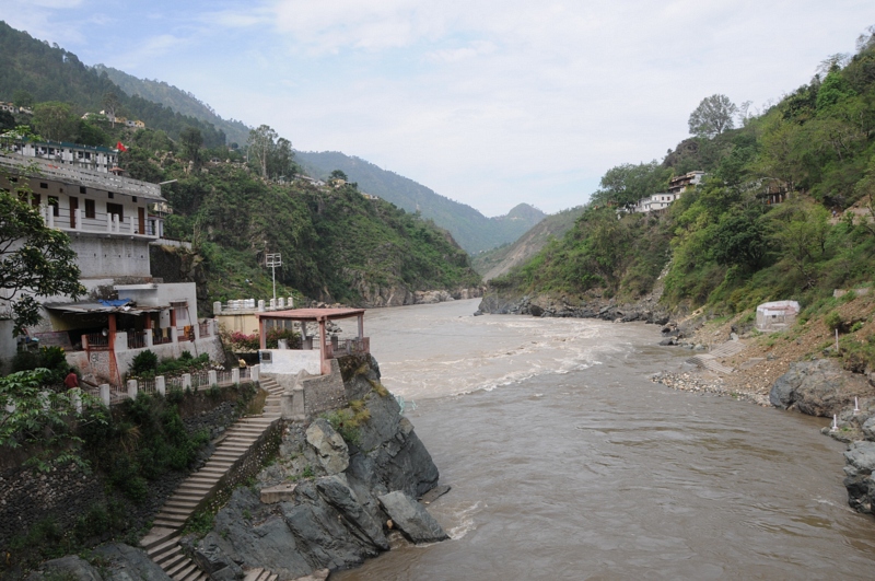
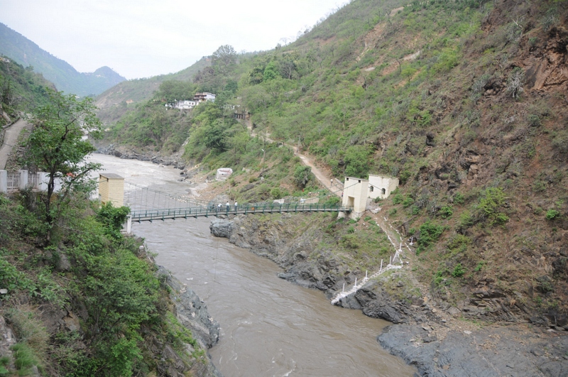
Rudraprayag, Uttarakhand
CSP_3010.JPG
Rudraprayag, Uttarakhand
Ratura, Uttarakhand
Ratura, Uttarakhand
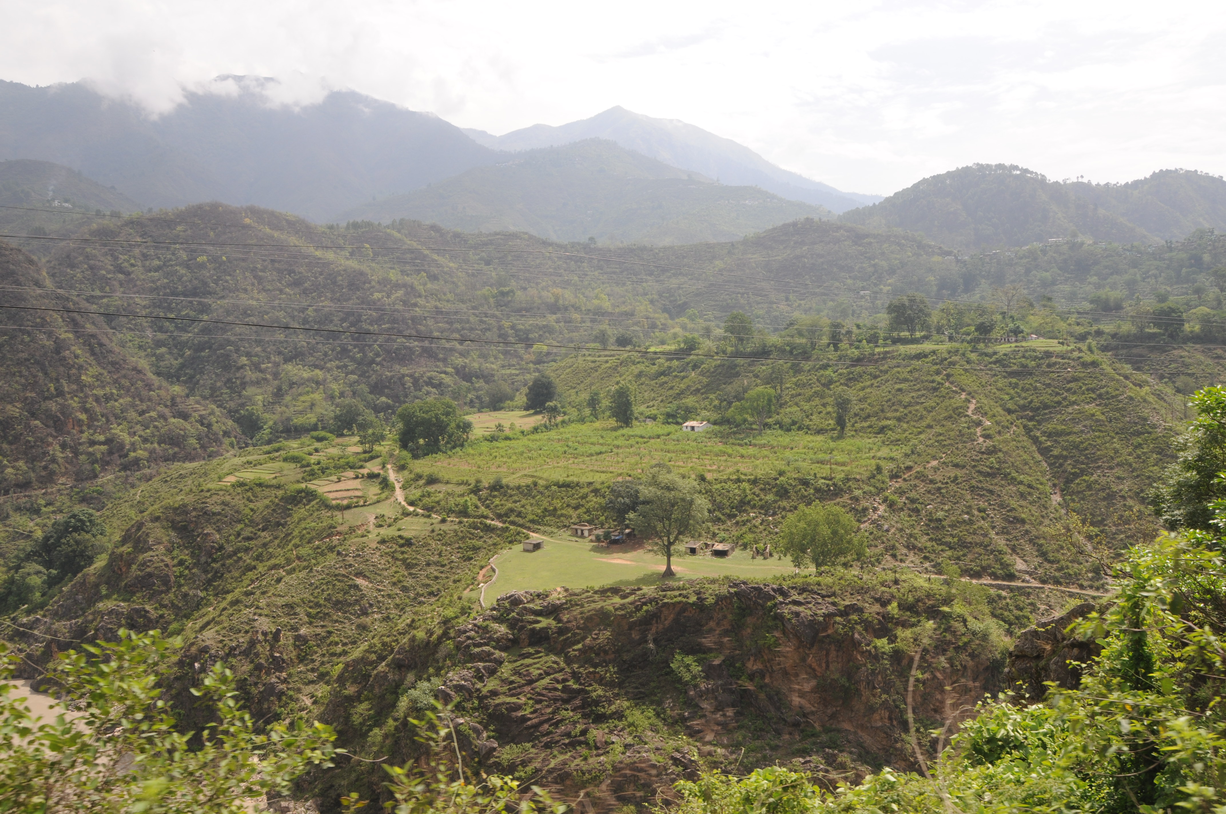
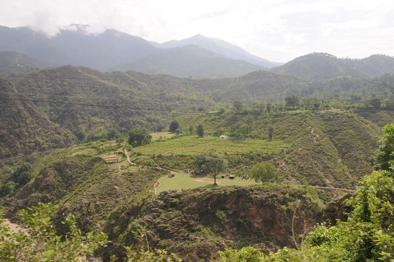
Nagrasu, Uttarakhand
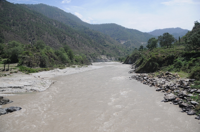
Gochar, Uttarakhand
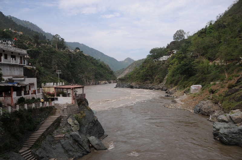
Rudraprayag, Uttarakhand
Rudraprayag, Uttarakhand

Rudraprayag, Uttarakhand

CSP_3031.JPG
Rudraprayag, Uttarakhand
インド 〒 ウッタランチャル アガストミュニの地図
別の場所を検索
近所の場所
インド 〒 ウッタランチャル マニグ
インド 〒 ウッタランチャル ダーガダー
インド 〒 ウッタランチャル カンダー
Chopta, Uttarakhand インド
Chandra Puri, Rudraprayag, NH-, Kedarnath Road, Agastmuni, Agastmuni, Uttarakhand インドIndia Post Chan
Chandrapuri, Uttarakhand インド
インド ウッタランチャル ティルワーラ
インド 〒 ウッタランチャル ラチュラ
कोटेश्वर मंदिर मार्ग, Uttarakhand インドKoteshwar Mahadev Mandir
インド ウッタランチャル マドラ
インド 〒 ウッタランチャル ルドラプラヤッグ
インド 〒 ウッタランチャル タンエータ
Dashjula Kandai, Uttarakhand インド
インド 〒 ウッタランチャル シバナンディ
インド 〒 ウッタランチャル ゴールシャー
Rudraprayag, Uttarakhand インド
インド 〒 ウッタランチャル ナグラス
インド 〒 ウッタランチャル チンカ
Makku Math, Uttarakhand インド
Ukhimath, Uttarakhand インド
最近の検索
- 12 Hutchinson Woods Dr, Fletcher, NC アメリカ合衆国日の出日の入り時間
- ペルー サンタ・マリア・デル・マール日の出日の入り時間
- Holloway Ave, San Francisco, CA アメリカ合衆国日の出日の入り時間
- 日本、〒- 栃木県宇都宮市旭1丁目1−5日の出日の入り時間
- Bist Hazari, アフガニスタン日の出日の入り時間
- 82- D Rd, Captain Cook, HI アメリカ合衆国日の出日の入り時間
- Harlow CM20 2PR, UK日の出日の入り時間
- 日本、〒- 福島県いわき市平薄磯宿崎日の出日の入り時間
- Alpha Dr, Melbourne, FL, USA日の出日の入り時間
- 日本、〒- 東京都台東区谷中日の出日の入り時間