Horas de salida y puesta de sol de Taiwán, 南投縣信義鄉豐丘村
Location: Taiwán >
Zona horaria:
Asia/Taipei
Hora local:
2024-04-24 00:08:12
Longitud:
120.9532123
Latitud:
23.6221827
Salida de sol de hoy:
05:27:08 AM
Puesta de sol de hoy:
06:21:24 PM
La duración del día hoy:
12h 54m 16s
Salida de sol de mañana:
05:26:21 AM
Puesta de sol de mañana:
06:21:50 PM
La duración del día mañana:
12h 55m 29s
Mostrar todas las fechas
| Fecha | Salida de sol | Puesta de sol | Duración del día |
|---|---|---|---|
| 01/01/2024 | 06:38:10 AM | 05:20:41 PM | 10h 42m 31s |
| 02/01/2024 | 06:38:28 AM | 05:21:20 PM | 10h 42m 52s |
| 03/01/2024 | 06:38:45 AM | 05:21:59 PM | 10h 43m 14s |
| 04/01/2024 | 06:39:00 AM | 05:22:39 PM | 10h 43m 39s |
| 05/01/2024 | 06:39:14 AM | 05:23:19 PM | 10h 44m 5s |
| 06/01/2024 | 06:39:27 AM | 05:24:00 PM | 10h 44m 33s |
| 07/01/2024 | 06:39:39 AM | 05:24:41 PM | 10h 45m 2s |
| 08/01/2024 | 06:39:49 AM | 05:25:23 PM | 10h 45m 34s |
| 09/01/2024 | 06:39:57 AM | 05:26:05 PM | 10h 46m 8s |
| 10/01/2024 | 06:40:05 AM | 05:26:47 PM | 10h 46m 42s |
| 11/01/2024 | 06:40:11 AM | 05:27:29 PM | 10h 47m 18s |
| 12/01/2024 | 06:40:15 AM | 05:28:12 PM | 10h 47m 57s |
| 13/01/2024 | 06:40:19 AM | 05:28:55 PM | 10h 48m 36s |
| 14/01/2024 | 06:40:20 AM | 05:29:38 PM | 10h 49m 18s |
| 15/01/2024 | 06:40:21 AM | 05:30:21 PM | 10h 50m 0s |
| 16/01/2024 | 06:40:20 AM | 05:31:05 PM | 10h 50m 45s |
| 17/01/2024 | 06:40:17 AM | 05:31:48 PM | 10h 51m 31s |
| 18/01/2024 | 06:40:13 AM | 05:32:31 PM | 10h 52m 18s |
| 19/01/2024 | 06:40:08 AM | 05:33:15 PM | 10h 53m 7s |
| 20/01/2024 | 06:40:01 AM | 05:33:58 PM | 10h 53m 57s |
| 21/01/2024 | 06:39:53 AM | 05:34:42 PM | 10h 54m 49s |
| 22/01/2024 | 06:39:43 AM | 05:35:25 PM | 10h 55m 42s |
| 23/01/2024 | 06:39:32 AM | 05:36:08 PM | 10h 56m 36s |
| 24/01/2024 | 06:39:20 AM | 05:36:51 PM | 10h 57m 31s |
| 25/01/2024 | 06:39:06 AM | 05:37:34 PM | 10h 58m 28s |
| 26/01/2024 | 06:38:51 AM | 05:38:16 PM | 10h 59m 25s |
| 27/01/2024 | 06:38:34 AM | 05:38:59 PM | 11h 0m 25s |
| 28/01/2024 | 06:38:16 AM | 05:39:41 PM | 11h 1m 25s |
| 29/01/2024 | 06:37:57 AM | 05:40:23 PM | 11h 2m 26s |
| 30/01/2024 | 06:37:36 AM | 05:41:04 PM | 11h 3m 28s |
| 31/01/2024 | 06:37:14 AM | 05:41:46 PM | 11h 4m 32s |
| 01/02/2024 | 06:36:51 AM | 05:42:27 PM | 11h 5m 36s |
| 02/02/2024 | 06:36:26 AM | 05:43:07 PM | 11h 6m 41s |
| 03/02/2024 | 06:36:00 AM | 05:43:47 PM | 11h 7m 47s |
| 04/02/2024 | 06:35:33 AM | 05:44:27 PM | 11h 8m 54s |
| 05/02/2024 | 06:35:05 AM | 05:45:07 PM | 11h 10m 2s |
| 06/02/2024 | 06:34:35 AM | 05:45:46 PM | 11h 11m 11s |
| 07/02/2024 | 06:34:05 AM | 05:46:25 PM | 11h 12m 20s |
| 08/02/2024 | 06:33:33 AM | 05:47:03 PM | 11h 13m 30s |
| 09/02/2024 | 06:32:59 AM | 05:47:41 PM | 11h 14m 42s |
| 10/02/2024 | 06:32:25 AM | 05:48:18 PM | 11h 15m 53s |
| 11/02/2024 | 06:31:50 AM | 05:48:55 PM | 11h 17m 5s |
| 12/02/2024 | 06:31:13 AM | 05:49:32 PM | 11h 18m 19s |
| 13/02/2024 | 06:30:36 AM | 05:50:08 PM | 11h 19m 32s |
| 14/02/2024 | 06:29:57 AM | 05:50:44 PM | 11h 20m 47s |
| 15/02/2024 | 06:29:18 AM | 05:51:19 PM | 11h 22m 1s |
| 16/02/2024 | 06:28:37 AM | 05:51:54 PM | 11h 23m 17s |
| 17/02/2024 | 06:27:55 AM | 05:52:28 PM | 11h 24m 33s |
| 18/02/2024 | 06:27:13 AM | 05:53:02 PM | 11h 25m 49s |
| 19/02/2024 | 06:26:29 AM | 05:53:35 PM | 11h 27m 6s |
| 20/02/2024 | 06:25:45 AM | 05:54:08 PM | 11h 28m 23s |
| 21/02/2024 | 06:24:59 AM | 05:54:41 PM | 11h 29m 42s |
| 22/02/2024 | 06:24:13 AM | 05:55:13 PM | 11h 31m 0s |
| 23/02/2024 | 06:23:26 AM | 05:55:45 PM | 11h 32m 19s |
| 24/02/2024 | 06:22:39 AM | 05:56:16 PM | 11h 33m 37s |
| 25/02/2024 | 06:21:50 AM | 05:56:47 PM | 11h 34m 57s |
| 26/02/2024 | 06:21:01 AM | 05:57:17 PM | 11h 36m 16s |
| 27/02/2024 | 06:20:11 AM | 05:57:47 PM | 11h 37m 36s |
| 28/02/2024 | 06:19:20 AM | 05:58:17 PM | 11h 38m 57s |
| 29/02/2024 | 06:18:29 AM | 05:58:46 PM | 11h 40m 17s |
| 01/03/2024 | 06:17:37 AM | 05:59:15 PM | 11h 41m 38s |
| 02/03/2024 | 06:16:44 AM | 05:59:43 PM | 11h 42m 59s |
| 03/03/2024 | 06:15:51 AM | 06:00:11 PM | 11h 44m 20s |
| 04/03/2024 | 06:14:57 AM | 06:00:39 PM | 11h 45m 42s |
| 05/03/2024 | 06:14:02 AM | 06:01:06 PM | 11h 47m 4s |
| 06/03/2024 | 06:13:08 AM | 06:01:33 PM | 11h 48m 25s |
| 07/03/2024 | 06:12:12 AM | 06:02:00 PM | 11h 49m 48s |
| 08/03/2024 | 06:11:16 AM | 06:02:26 PM | 11h 51m 10s |
| 09/03/2024 | 06:10:20 AM | 06:02:52 PM | 11h 52m 32s |
| 10/03/2024 | 06:09:24 AM | 06:03:18 PM | 11h 53m 54s |
| 11/03/2024 | 06:08:27 AM | 06:03:44 PM | 11h 55m 17s |
| 12/03/2024 | 06:07:29 AM | 06:04:09 PM | 11h 56m 40s |
| 13/03/2024 | 06:06:31 AM | 06:04:34 PM | 11h 58m 3s |
| 14/03/2024 | 06:05:33 AM | 06:04:59 PM | 11h 59m 26s |
| 15/03/2024 | 06:04:35 AM | 06:05:24 PM | 12h 0m 49s |
| 16/03/2024 | 06:03:37 AM | 06:05:48 PM | 12h 2m 11s |
| 17/03/2024 | 06:02:38 AM | 06:06:12 PM | 12h 3m 34s |
| 18/03/2024 | 06:01:39 AM | 06:06:36 PM | 12h 4m 57s |
| 19/03/2024 | 06:00:40 AM | 06:07:00 PM | 12h 6m 20s |
| 20/03/2024 | 05:59:41 AM | 06:07:24 PM | 12h 7m 43s |
| 21/03/2024 | 05:58:42 AM | 06:07:48 PM | 12h 9m 6s |
| 22/03/2024 | 05:57:42 AM | 06:08:11 PM | 12h 10m 29s |
| 23/03/2024 | 05:56:43 AM | 06:08:35 PM | 12h 11m 52s |
| 24/03/2024 | 05:55:43 AM | 06:08:58 PM | 12h 13m 15s |
| 25/03/2024 | 05:54:44 AM | 06:09:21 PM | 12h 14m 37s |
| 26/03/2024 | 05:53:45 AM | 06:09:44 PM | 12h 15m 59s |
| 27/03/2024 | 05:52:45 AM | 06:10:08 PM | 12h 17m 23s |
| 28/03/2024 | 05:51:46 AM | 06:10:31 PM | 12h 18m 45s |
| 29/03/2024 | 05:50:47 AM | 06:10:54 PM | 12h 20m 7s |
| 30/03/2024 | 05:49:48 AM | 06:11:17 PM | 12h 21m 29s |
| 31/03/2024 | 05:48:49 AM | 06:11:40 PM | 12h 22m 51s |
| 01/04/2024 | 05:47:50 AM | 06:12:03 PM | 12h 24m 13s |
| 02/04/2024 | 05:46:52 AM | 06:12:26 PM | 12h 25m 34s |
| 03/04/2024 | 05:45:53 AM | 06:12:49 PM | 12h 26m 56s |
| 04/04/2024 | 05:44:55 AM | 06:13:13 PM | 12h 28m 18s |
| 05/04/2024 | 05:43:58 AM | 06:13:36 PM | 12h 29m 38s |
| 06/04/2024 | 05:43:00 AM | 06:13:59 PM | 12h 30m 59s |
| 07/04/2024 | 05:42:03 AM | 06:14:23 PM | 12h 32m 20s |
| 08/04/2024 | 05:41:06 AM | 06:14:46 PM | 12h 33m 40s |
| 09/04/2024 | 05:40:10 AM | 06:15:10 PM | 12h 35m 0s |
| 10/04/2024 | 05:39:14 AM | 06:15:34 PM | 12h 36m 20s |
| 11/04/2024 | 05:38:19 AM | 06:15:58 PM | 12h 37m 39s |
| 12/04/2024 | 05:37:24 AM | 06:16:22 PM | 12h 38m 58s |
| 13/04/2024 | 05:36:29 AM | 06:16:46 PM | 12h 40m 17s |
| 14/04/2024 | 05:35:35 AM | 06:17:10 PM | 12h 41m 35s |
| 15/04/2024 | 05:34:42 AM | 06:17:35 PM | 12h 42m 53s |
| 16/04/2024 | 05:33:49 AM | 06:18:00 PM | 12h 44m 11s |
| 17/04/2024 | 05:32:56 AM | 06:18:24 PM | 12h 45m 28s |
| 18/04/2024 | 05:32:05 AM | 06:18:49 PM | 12h 46m 44s |
| 19/04/2024 | 05:31:14 AM | 06:19:15 PM | 12h 48m 1s |
| 20/04/2024 | 05:30:23 AM | 06:19:40 PM | 12h 49m 17s |
| 21/04/2024 | 05:29:33 AM | 06:20:06 PM | 12h 50m 33s |
| 22/04/2024 | 05:28:44 AM | 06:20:31 PM | 12h 51m 47s |
| 23/04/2024 | 05:27:56 AM | 06:20:57 PM | 12h 53m 1s |
| 24/04/2024 | 05:27:08 AM | 06:21:24 PM | 12h 54m 16s |
| 25/04/2024 | 05:26:21 AM | 06:21:50 PM | 12h 55m 29s |
| 26/04/2024 | 05:25:35 AM | 06:22:16 PM | 12h 56m 41s |
| 27/04/2024 | 05:24:50 AM | 06:22:43 PM | 12h 57m 53s |
| 28/04/2024 | 05:24:06 AM | 06:23:10 PM | 12h 59m 4s |
| 29/04/2024 | 05:23:22 AM | 06:23:37 PM | 13h 0m 15s |
| 30/04/2024 | 05:22:39 AM | 06:24:04 PM | 13h 1m 25s |
| 01/05/2024 | 05:21:58 AM | 06:24:32 PM | 13h 2m 34s |
| 02/05/2024 | 05:21:17 AM | 06:24:59 PM | 13h 3m 42s |
| 03/05/2024 | 05:20:37 AM | 06:25:27 PM | 13h 4m 50s |
| 04/05/2024 | 05:19:58 AM | 06:25:55 PM | 13h 5m 57s |
| 05/05/2024 | 05:19:20 AM | 06:26:23 PM | 13h 7m 3s |
| 06/05/2024 | 05:18:42 AM | 06:26:52 PM | 13h 8m 10s |
| 07/05/2024 | 05:18:06 AM | 06:27:20 PM | 13h 9m 14s |
| 08/05/2024 | 05:17:31 AM | 06:27:49 PM | 13h 10m 18s |
| 09/05/2024 | 05:16:57 AM | 06:28:17 PM | 13h 11m 20s |
| 10/05/2024 | 05:16:24 AM | 06:28:46 PM | 13h 12m 22s |
| 11/05/2024 | 05:15:52 AM | 06:29:15 PM | 13h 13m 23s |
| 12/05/2024 | 05:15:21 AM | 06:29:44 PM | 13h 14m 23s |
| 13/05/2024 | 05:14:51 AM | 06:30:13 PM | 13h 15m 22s |
| 14/05/2024 | 05:14:23 AM | 06:30:42 PM | 13h 16m 19s |
| 15/05/2024 | 05:13:55 AM | 06:31:11 PM | 13h 17m 16s |
| 16/05/2024 | 05:13:29 AM | 06:31:40 PM | 13h 18m 11s |
| 17/05/2024 | 05:13:03 AM | 06:32:09 PM | 13h 19m 6s |
| 18/05/2024 | 05:12:39 AM | 06:32:38 PM | 13h 19m 59s |
| 19/05/2024 | 05:12:16 AM | 06:33:07 PM | 13h 20m 51s |
| 20/05/2024 | 05:11:54 AM | 06:33:35 PM | 13h 21m 41s |
| 21/05/2024 | 05:11:33 AM | 06:34:04 PM | 13h 22m 31s |
| 22/05/2024 | 05:11:14 AM | 06:34:33 PM | 13h 23m 19s |
| 23/05/2024 | 05:10:55 AM | 06:35:02 PM | 13h 24m 7s |
| 24/05/2024 | 05:10:38 AM | 06:35:30 PM | 13h 24m 52s |
| 25/05/2024 | 05:10:22 AM | 06:35:58 PM | 13h 25m 36s |
| 26/05/2024 | 05:10:07 AM | 06:36:26 PM | 13h 26m 19s |
| 27/05/2024 | 05:09:53 AM | 06:36:54 PM | 13h 27m 1s |
| 28/05/2024 | 05:09:41 AM | 06:37:21 PM | 13h 27m 40s |
| 29/05/2024 | 05:09:29 AM | 06:37:49 PM | 13h 28m 20s |
| 30/05/2024 | 05:09:19 AM | 06:38:16 PM | 13h 28m 57s |
| 31/05/2024 | 05:09:10 AM | 06:38:42 PM | 13h 29m 32s |
| 01/06/2024 | 05:09:02 AM | 06:39:08 PM | 13h 30m 6s |
| 02/06/2024 | 05:08:56 AM | 06:39:34 PM | 13h 30m 38s |
| 03/06/2024 | 05:08:50 AM | 06:40:00 PM | 13h 31m 10s |
| 04/06/2024 | 05:08:46 AM | 06:40:25 PM | 13h 31m 39s |
| 05/06/2024 | 05:08:43 AM | 06:40:49 PM | 13h 32m 6s |
| 06/06/2024 | 05:08:41 AM | 06:41:13 PM | 13h 32m 32s |
| 07/06/2024 | 05:08:40 AM | 06:41:37 PM | 13h 32m 57s |
| 08/06/2024 | 05:08:40 AM | 06:41:59 PM | 13h 33m 19s |
| 09/06/2024 | 05:08:41 AM | 06:42:22 PM | 13h 33m 41s |
| 10/06/2024 | 05:08:43 AM | 06:42:43 PM | 13h 34m 0s |
| 11/06/2024 | 05:08:47 AM | 06:43:05 PM | 13h 34m 18s |
| 12/06/2024 | 05:08:51 AM | 06:43:25 PM | 13h 34m 34s |
| 13/06/2024 | 05:08:56 AM | 06:43:45 PM | 13h 34m 49s |
| 14/06/2024 | 05:09:03 AM | 06:44:04 PM | 13h 35m 1s |
| 15/06/2024 | 05:09:10 AM | 06:44:22 PM | 13h 35m 12s |
| 16/06/2024 | 05:09:19 AM | 06:44:39 PM | 13h 35m 20s |
| 17/06/2024 | 05:09:28 AM | 06:44:56 PM | 13h 35m 28s |
| 18/06/2024 | 05:09:39 AM | 06:45:11 PM | 13h 35m 32s |
| 19/06/2024 | 05:09:50 AM | 06:45:26 PM | 13h 35m 36s |
| 20/06/2024 | 05:10:02 AM | 06:45:40 PM | 13h 35m 38s |
| 21/06/2024 | 05:10:15 AM | 06:45:53 PM | 13h 35m 38s |
| 22/06/2024 | 05:10:29 AM | 06:46:06 PM | 13h 35m 37s |
| 23/06/2024 | 05:10:44 AM | 06:46:17 PM | 13h 35m 33s |
| 24/06/2024 | 05:10:59 AM | 06:46:27 PM | 13h 35m 28s |
| 25/06/2024 | 05:11:16 AM | 06:46:36 PM | 13h 35m 20s |
| 26/06/2024 | 05:11:33 AM | 06:46:44 PM | 13h 35m 11s |
| 27/06/2024 | 05:11:50 AM | 06:46:52 PM | 13h 35m 2s |
| 28/06/2024 | 05:12:09 AM | 06:46:58 PM | 13h 34m 49s |
| 29/06/2024 | 05:12:28 AM | 06:47:03 PM | 13h 34m 35s |
| 30/06/2024 | 05:12:48 AM | 06:47:07 PM | 13h 34m 19s |
| 01/07/2024 | 05:13:08 AM | 06:47:09 PM | 13h 34m 1s |
| 02/07/2024 | 05:13:29 AM | 06:47:11 PM | 13h 33m 42s |
| 03/07/2024 | 05:13:50 AM | 06:47:12 PM | 13h 33m 22s |
| 04/07/2024 | 05:14:12 AM | 06:47:11 PM | 13h 32m 59s |
| 05/07/2024 | 05:14:35 AM | 06:47:09 PM | 13h 32m 34s |
| 06/07/2024 | 05:14:58 AM | 06:47:06 PM | 13h 32m 8s |
| 07/07/2024 | 05:15:21 AM | 06:47:02 PM | 13h 31m 41s |
| 08/07/2024 | 05:15:45 AM | 06:46:57 PM | 13h 31m 12s |
| 09/07/2024 | 05:16:09 AM | 06:46:51 PM | 13h 30m 42s |
| 10/07/2024 | 05:16:34 AM | 06:46:43 PM | 13h 30m 9s |
| 11/07/2024 | 05:16:58 AM | 06:46:34 PM | 13h 29m 36s |
| 12/07/2024 | 05:17:24 AM | 06:46:24 PM | 13h 29m 0s |
| 13/07/2024 | 05:17:49 AM | 06:46:13 PM | 13h 28m 24s |
| 14/07/2024 | 05:18:15 AM | 06:46:00 PM | 13h 27m 45s |
| 15/07/2024 | 05:18:41 AM | 06:45:46 PM | 13h 27m 5s |
| 16/07/2024 | 05:19:07 AM | 06:45:31 PM | 13h 26m 24s |
| 17/07/2024 | 05:19:33 AM | 06:45:15 PM | 13h 25m 42s |
| 18/07/2024 | 05:19:59 AM | 06:44:58 PM | 13h 24m 59s |
| 19/07/2024 | 05:20:26 AM | 06:44:39 PM | 13h 24m 13s |
| 20/07/2024 | 05:20:53 AM | 06:44:19 PM | 13h 23m 26s |
| 21/07/2024 | 05:21:19 AM | 06:43:58 PM | 13h 22m 39s |
| 22/07/2024 | 05:21:46 AM | 06:43:36 PM | 13h 21m 50s |
| 23/07/2024 | 05:22:13 AM | 06:43:13 PM | 13h 21m 0s |
| 24/07/2024 | 05:22:40 AM | 06:42:48 PM | 13h 20m 8s |
| 25/07/2024 | 05:23:06 AM | 06:42:22 PM | 13h 19m 16s |
| 26/07/2024 | 05:23:33 AM | 06:41:55 PM | 13h 18m 22s |
| 27/07/2024 | 05:24:00 AM | 06:41:27 PM | 13h 17m 27s |
| 28/07/2024 | 05:24:26 AM | 06:40:58 PM | 13h 16m 32s |
| 29/07/2024 | 05:24:53 AM | 06:40:28 PM | 13h 15m 35s |
| 30/07/2024 | 05:25:19 AM | 06:39:56 PM | 13h 14m 37s |
| 31/07/2024 | 05:25:46 AM | 06:39:24 PM | 13h 13m 38s |
| 01/08/2024 | 05:26:12 AM | 06:38:50 PM | 13h 12m 38s |
| 02/08/2024 | 05:26:38 AM | 06:38:15 PM | 13h 11m 37s |
| 03/08/2024 | 05:27:04 AM | 06:37:39 PM | 13h 10m 35s |
| 04/08/2024 | 05:27:30 AM | 06:37:02 PM | 13h 9m 32s |
| 05/08/2024 | 05:27:56 AM | 06:36:25 PM | 13h 8m 29s |
| 06/08/2024 | 05:28:21 AM | 06:35:46 PM | 13h 7m 25s |
| 07/08/2024 | 05:28:46 AM | 06:35:06 PM | 13h 6m 20s |
| 08/08/2024 | 05:29:11 AM | 06:34:25 PM | 13h 5m 14s |
| 09/08/2024 | 05:29:36 AM | 06:33:43 PM | 13h 4m 7s |
| 10/08/2024 | 05:30:01 AM | 06:33:00 PM | 13h 2m 59s |
| 11/08/2024 | 05:30:25 AM | 06:32:16 PM | 13h 1m 51s |
| 12/08/2024 | 05:30:50 AM | 06:31:32 PM | 13h 0m 42s |
| 13/08/2024 | 05:31:14 AM | 06:30:46 PM | 12h 59m 32s |
| 14/08/2024 | 05:31:37 AM | 06:30:00 PM | 12h 58m 23s |
| 15/08/2024 | 05:32:01 AM | 06:29:12 PM | 12h 57m 11s |
| 16/08/2024 | 05:32:24 AM | 06:28:24 PM | 12h 56m 0s |
| 17/08/2024 | 05:32:48 AM | 06:27:35 PM | 12h 54m 47s |
| 18/08/2024 | 05:33:10 AM | 06:26:46 PM | 12h 53m 36s |
| 19/08/2024 | 05:33:33 AM | 06:25:55 PM | 12h 52m 22s |
| 20/08/2024 | 05:33:56 AM | 06:25:04 PM | 12h 51m 8s |
| 21/08/2024 | 05:34:18 AM | 06:24:12 PM | 12h 49m 54s |
| 22/08/2024 | 05:34:40 AM | 06:23:20 PM | 12h 48m 40s |
| 23/08/2024 | 05:35:02 AM | 06:22:26 PM | 12h 47m 24s |
| 24/08/2024 | 05:35:23 AM | 06:21:32 PM | 12h 46m 9s |
| 25/08/2024 | 05:35:45 AM | 06:20:38 PM | 12h 44m 53s |
| 26/08/2024 | 05:36:06 AM | 06:19:43 PM | 12h 43m 37s |
| 27/08/2024 | 05:36:27 AM | 06:18:47 PM | 12h 42m 20s |
| 28/08/2024 | 05:36:47 AM | 06:17:51 PM | 12h 41m 4s |
| 29/08/2024 | 05:37:08 AM | 06:16:54 PM | 12h 39m 46s |
| 30/08/2024 | 05:37:29 AM | 06:15:57 PM | 12h 38m 28s |
| 31/08/2024 | 05:37:49 AM | 06:14:59 PM | 12h 37m 10s |
| 01/09/2024 | 05:38:09 AM | 06:14:01 PM | 12h 35m 52s |
| 02/09/2024 | 05:38:29 AM | 06:13:02 PM | 12h 34m 33s |
| 03/09/2024 | 05:38:49 AM | 06:12:03 PM | 12h 33m 14s |
| 04/09/2024 | 05:39:09 AM | 06:11:04 PM | 12h 31m 55s |
| 05/09/2024 | 05:39:28 AM | 06:10:04 PM | 12h 30m 36s |
| 06/09/2024 | 05:39:48 AM | 06:09:04 PM | 12h 29m 16s |
| 07/09/2024 | 05:40:07 AM | 06:08:03 PM | 12h 27m 56s |
| 08/09/2024 | 05:40:26 AM | 06:07:02 PM | 12h 26m 36s |
| 09/09/2024 | 05:40:46 AM | 06:06:01 PM | 12h 25m 15s |
| 10/09/2024 | 05:41:05 AM | 06:05:00 PM | 12h 23m 55s |
| 11/09/2024 | 05:41:24 AM | 06:03:59 PM | 12h 22m 35s |
| 12/09/2024 | 05:41:43 AM | 06:02:57 PM | 12h 21m 14s |
| 13/09/2024 | 05:42:02 AM | 06:01:55 PM | 12h 19m 53s |
| 14/09/2024 | 05:42:22 AM | 06:00:53 PM | 12h 18m 31s |
| 15/09/2024 | 05:42:41 AM | 05:59:51 PM | 12h 17m 10s |
| 16/09/2024 | 05:43:00 AM | 05:58:49 PM | 12h 15m 49s |
| 17/09/2024 | 05:43:19 AM | 05:57:47 PM | 12h 14m 28s |
| 18/09/2024 | 05:43:39 AM | 05:56:45 PM | 12h 13m 6s |
| 19/09/2024 | 05:43:58 AM | 05:55:43 PM | 12h 11m 45s |
| 20/09/2024 | 05:44:17 AM | 05:54:41 PM | 12h 10m 24s |
| 21/09/2024 | 05:44:37 AM | 05:53:39 PM | 12h 9m 2s |
| 22/09/2024 | 05:44:56 AM | 05:52:37 PM | 12h 7m 41s |
| 23/09/2024 | 05:45:16 AM | 05:51:35 PM | 12h 6m 19s |
| 24/09/2024 | 05:45:36 AM | 05:50:33 PM | 12h 4m 57s |
| 25/09/2024 | 05:45:56 AM | 05:49:31 PM | 12h 3m 35s |
| 26/09/2024 | 05:46:17 AM | 05:48:30 PM | 12h 2m 13s |
| 27/09/2024 | 05:46:37 AM | 05:47:29 PM | 12h 0m 52s |
| 28/09/2024 | 05:46:58 AM | 05:46:28 PM | 11h 59m 30s |
| 29/09/2024 | 05:47:18 AM | 05:45:27 PM | 11h 58m 9s |
| 30/09/2024 | 05:47:40 AM | 05:44:27 PM | 11h 56m 47s |
| 01/10/2024 | 05:48:01 AM | 05:43:27 PM | 11h 55m 26s |
| 02/10/2024 | 05:48:22 AM | 05:42:27 PM | 11h 54m 5s |
| 03/10/2024 | 05:48:44 AM | 05:41:27 PM | 11h 52m 43s |
| 04/10/2024 | 05:49:06 AM | 05:40:28 PM | 11h 51m 22s |
| 05/10/2024 | 05:49:29 AM | 05:39:30 PM | 11h 50m 1s |
| 06/10/2024 | 05:49:52 AM | 05:38:32 PM | 11h 48m 40s |
| 07/10/2024 | 05:50:15 AM | 05:37:34 PM | 11h 47m 19s |
| 08/10/2024 | 05:50:38 AM | 05:36:37 PM | 11h 45m 59s |
| 09/10/2024 | 05:51:02 AM | 05:35:40 PM | 11h 44m 38s |
| 10/10/2024 | 05:51:26 AM | 05:34:44 PM | 11h 43m 18s |
| 11/10/2024 | 05:51:50 AM | 05:33:49 PM | 11h 41m 59s |
| 12/10/2024 | 05:52:15 AM | 05:32:54 PM | 11h 40m 39s |
| 13/10/2024 | 05:52:41 AM | 05:32:00 PM | 11h 39m 19s |
| 14/10/2024 | 05:53:06 AM | 05:31:06 PM | 11h 38m 0s |
| 15/10/2024 | 05:53:32 AM | 05:30:13 PM | 11h 36m 41s |
| 16/10/2024 | 05:53:59 AM | 05:29:21 PM | 11h 35m 22s |
| 17/10/2024 | 05:54:26 AM | 05:28:30 PM | 11h 34m 4s |
| 18/10/2024 | 05:54:53 AM | 05:27:39 PM | 11h 32m 46s |
| 19/10/2024 | 05:55:21 AM | 05:26:49 PM | 11h 31m 28s |
| 20/10/2024 | 05:55:49 AM | 05:26:00 PM | 11h 30m 11s |
| 21/10/2024 | 05:56:18 AM | 05:25:12 PM | 11h 28m 54s |
| 22/10/2024 | 05:56:47 AM | 05:24:25 PM | 11h 27m 38s |
| 23/10/2024 | 05:57:17 AM | 05:23:38 PM | 11h 26m 21s |
| 24/10/2024 | 05:57:47 AM | 05:22:53 PM | 11h 25m 6s |
| 25/10/2024 | 05:58:18 AM | 05:22:08 PM | 11h 23m 50s |
| 26/10/2024 | 05:58:49 AM | 05:21:24 PM | 11h 22m 35s |
| 27/10/2024 | 05:59:20 AM | 05:20:42 PM | 11h 21m 22s |
| 28/10/2024 | 05:59:53 AM | 05:20:00 PM | 11h 20m 7s |
| 29/10/2024 | 06:00:25 AM | 05:19:20 PM | 11h 18m 55s |
| 30/10/2024 | 06:00:58 AM | 05:18:40 PM | 11h 17m 42s |
| 31/10/2024 | 06:01:32 AM | 05:18:02 PM | 11h 16m 30s |
| 01/11/2024 | 06:02:06 AM | 05:17:25 PM | 11h 15m 19s |
| 02/11/2024 | 06:02:40 AM | 05:16:49 PM | 11h 14m 9s |
| 03/11/2024 | 06:03:15 AM | 05:16:14 PM | 11h 12m 59s |
| 04/11/2024 | 06:03:50 AM | 05:15:40 PM | 11h 11m 50s |
| 05/11/2024 | 06:04:26 AM | 05:15:07 PM | 11h 10m 41s |
| 06/11/2024 | 06:05:02 AM | 05:14:36 PM | 11h 9m 34s |
| 07/11/2024 | 06:05:39 AM | 05:14:06 PM | 11h 8m 27s |
| 08/11/2024 | 06:06:16 AM | 05:13:37 PM | 11h 7m 21s |
| 09/11/2024 | 06:06:54 AM | 05:13:10 PM | 11h 6m 16s |
| 10/11/2024 | 06:07:32 AM | 05:12:43 PM | 11h 5m 11s |
| 11/11/2024 | 06:08:10 AM | 05:12:18 PM | 11h 4m 8s |
| 12/11/2024 | 06:08:49 AM | 05:11:55 PM | 11h 3m 6s |
| 13/11/2024 | 06:09:28 AM | 05:11:32 PM | 11h 2m 4s |
| 14/11/2024 | 06:10:07 AM | 05:11:12 PM | 11h 1m 5s |
| 15/11/2024 | 06:10:47 AM | 05:10:52 PM | 11h 0m 5s |
| 16/11/2024 | 06:11:27 AM | 05:10:34 PM | 10h 59m 7s |
| 17/11/2024 | 06:12:07 AM | 05:10:17 PM | 10h 58m 10s |
| 18/11/2024 | 06:12:47 AM | 05:10:02 PM | 10h 57m 15s |
| 19/11/2024 | 06:13:28 AM | 05:09:48 PM | 10h 56m 20s |
| 20/11/2024 | 06:14:09 AM | 05:09:36 PM | 10h 55m 27s |
| 21/11/2024 | 06:14:50 AM | 05:09:25 PM | 10h 54m 35s |
| 22/11/2024 | 06:15:31 AM | 05:09:15 PM | 10h 53m 44s |
| 23/11/2024 | 06:16:12 AM | 05:09:07 PM | 10h 52m 55s |
| 24/11/2024 | 06:16:54 AM | 05:09:00 PM | 10h 52m 6s |
| 25/11/2024 | 06:17:35 AM | 05:08:55 PM | 10h 51m 20s |
| 26/11/2024 | 06:18:17 AM | 05:08:51 PM | 10h 50m 34s |
| 27/11/2024 | 06:18:58 AM | 05:08:49 PM | 10h 49m 51s |
| 28/11/2024 | 06:19:40 AM | 05:08:48 PM | 10h 49m 8s |
| 29/11/2024 | 06:20:21 AM | 05:08:49 PM | 10h 48m 28s |
| 30/11/2024 | 06:21:03 AM | 05:08:51 PM | 10h 47m 48s |
| 01/12/2024 | 06:21:44 AM | 05:08:55 PM | 10h 47m 11s |
| 02/12/2024 | 06:22:25 AM | 05:09:00 PM | 10h 46m 35s |
| 03/12/2024 | 06:23:06 AM | 05:09:06 PM | 10h 46m 0s |
| 04/12/2024 | 06:23:46 AM | 05:09:14 PM | 10h 45m 28s |
| 05/12/2024 | 06:24:26 AM | 05:09:23 PM | 10h 44m 57s |
| 06/12/2024 | 06:25:06 AM | 05:09:34 PM | 10h 44m 28s |
| 07/12/2024 | 06:25:46 AM | 05:09:46 PM | 10h 44m 0s |
| 08/12/2024 | 06:26:25 AM | 05:09:59 PM | 10h 43m 34s |
| 09/12/2024 | 06:27:04 AM | 05:10:14 PM | 10h 43m 10s |
| 10/12/2024 | 06:27:42 AM | 05:10:30 PM | 10h 42m 48s |
| 11/12/2024 | 06:28:20 AM | 05:10:48 PM | 10h 42m 28s |
| 12/12/2024 | 06:28:57 AM | 05:11:06 PM | 10h 42m 9s |
| 13/12/2024 | 06:29:33 AM | 05:11:26 PM | 10h 41m 53s |
| 14/12/2024 | 06:30:09 AM | 05:11:48 PM | 10h 41m 39s |
| 15/12/2024 | 06:30:44 AM | 05:12:10 PM | 10h 41m 26s |
| 16/12/2024 | 06:31:19 AM | 05:12:34 PM | 10h 41m 15s |
| 17/12/2024 | 06:31:53 AM | 05:12:59 PM | 10h 41m 6s |
| 18/12/2024 | 06:32:26 AM | 05:13:25 PM | 10h 40m 59s |
| 19/12/2024 | 06:32:58 AM | 05:13:52 PM | 10h 40m 54s |
| 20/12/2024 | 06:33:29 AM | 05:14:20 PM | 10h 40m 51s |
| 21/12/2024 | 06:33:59 AM | 05:14:49 PM | 10h 40m 50s |
| 22/12/2024 | 06:34:29 AM | 05:15:20 PM | 10h 40m 51s |
| 23/12/2024 | 06:34:57 AM | 05:15:51 PM | 10h 40m 54s |
| 24/12/2024 | 06:35:24 AM | 05:16:23 PM | 10h 40m 59s |
| 25/12/2024 | 06:35:51 AM | 05:16:56 PM | 10h 41m 5s |
| 26/12/2024 | 06:36:16 AM | 05:17:30 PM | 10h 41m 14s |
| 27/12/2024 | 06:36:40 AM | 05:18:05 PM | 10h 41m 25s |
| 28/12/2024 | 06:37:03 AM | 05:18:41 PM | 10h 41m 38s |
| 29/12/2024 | 06:37:25 AM | 05:19:17 PM | 10h 41m 52s |
| 30/12/2024 | 06:37:46 AM | 05:19:54 PM | 10h 42m 8s |
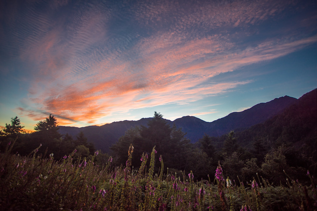
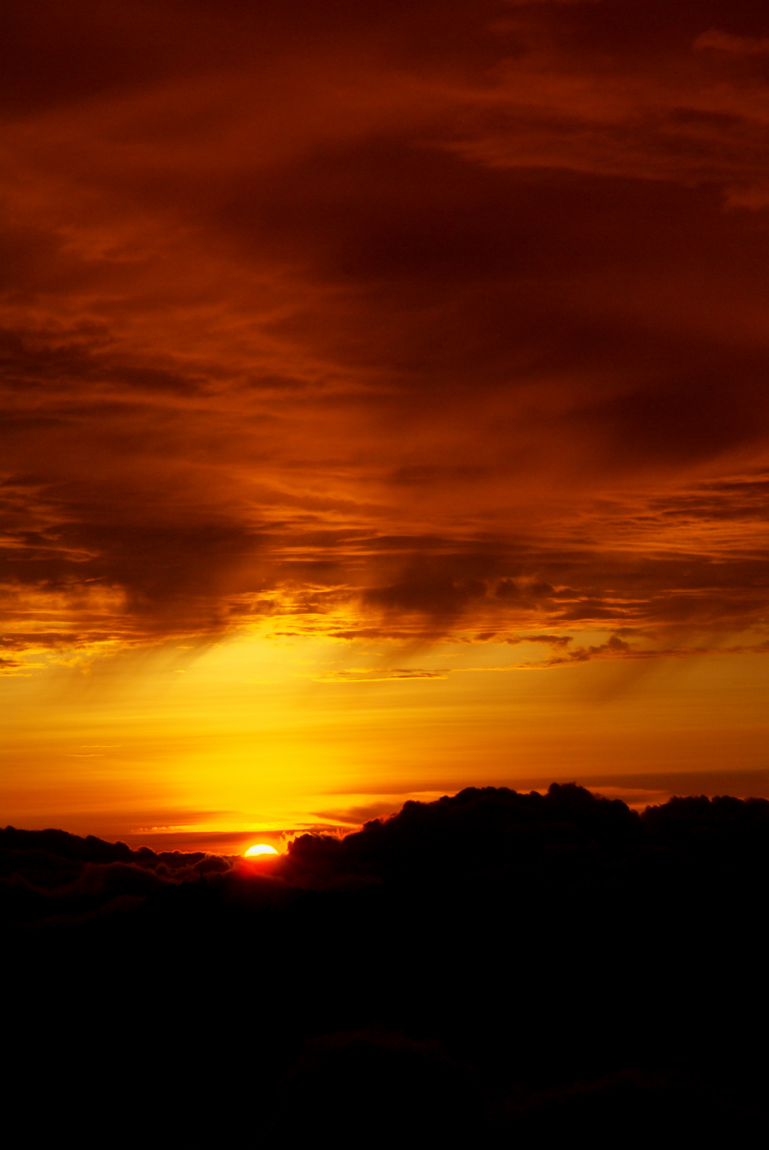
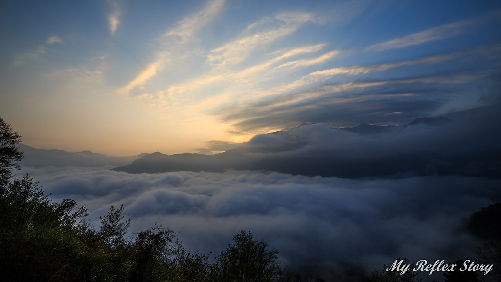
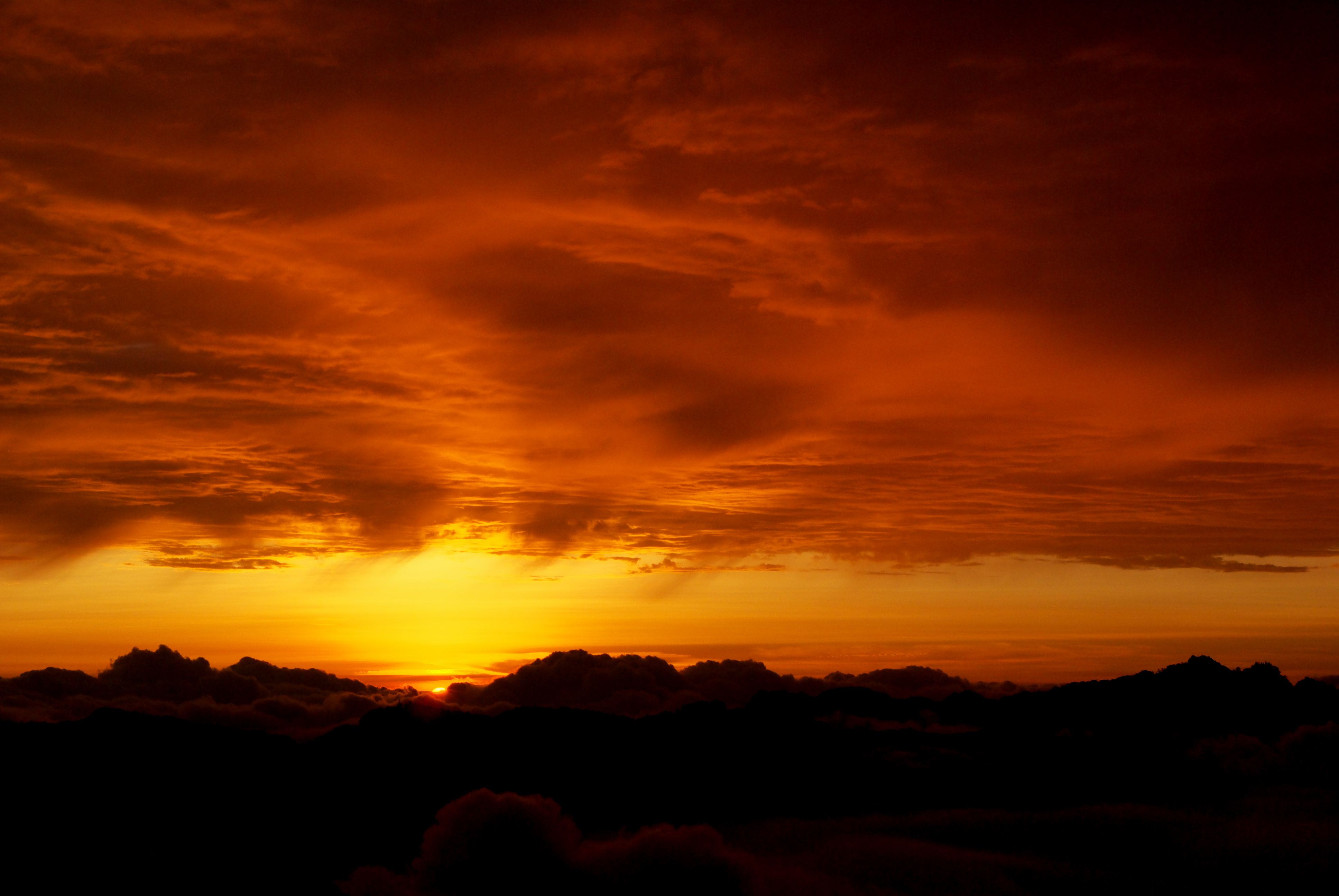
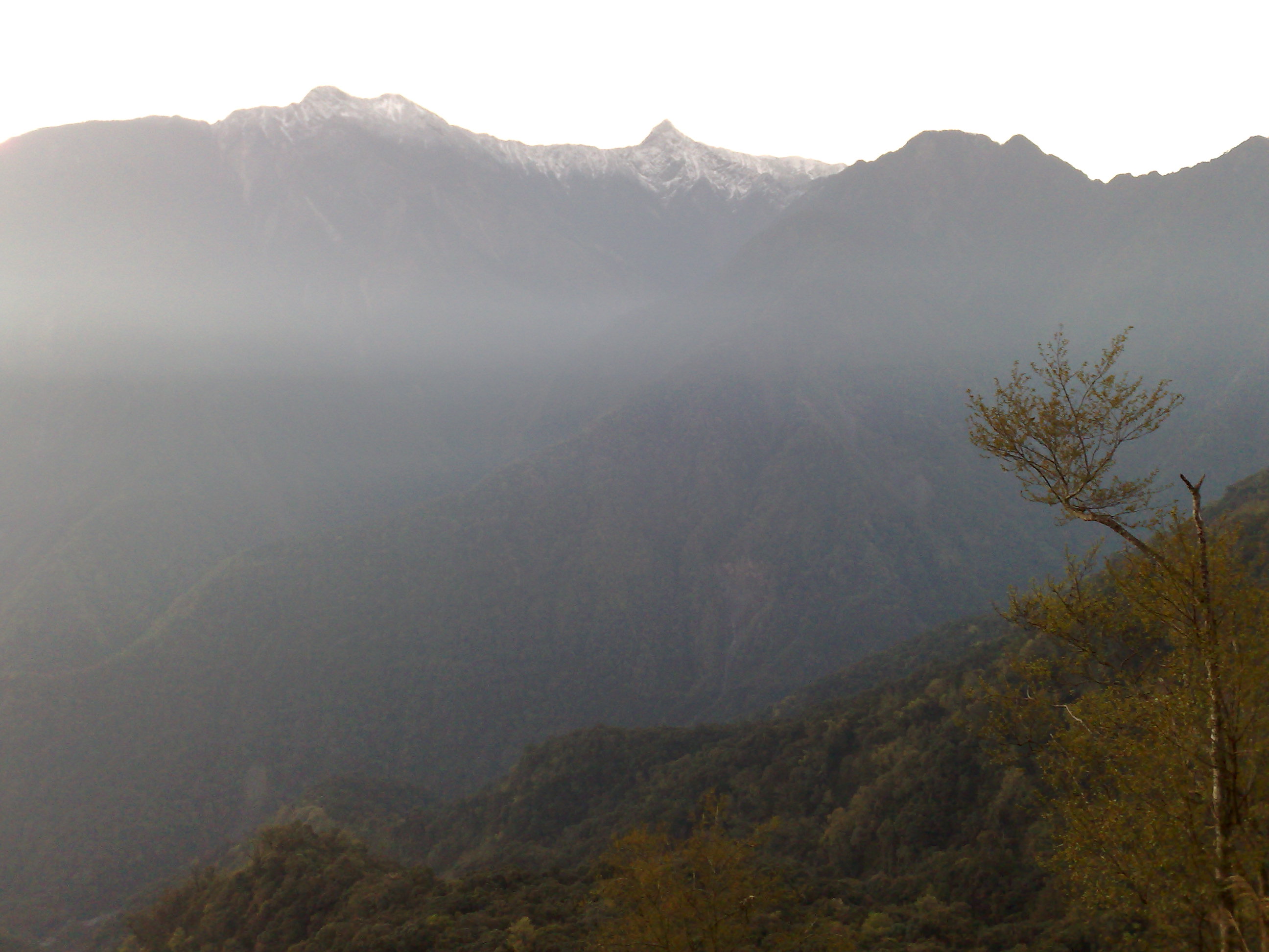
Fotos

新中橫 日落的這一刻
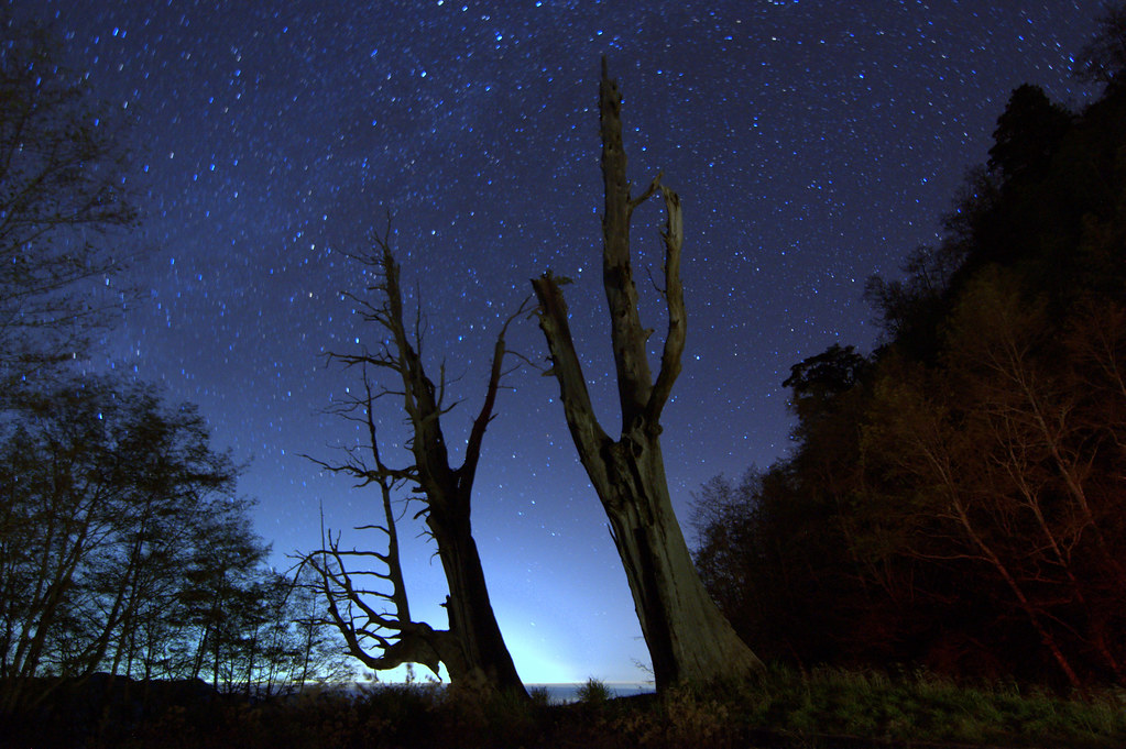
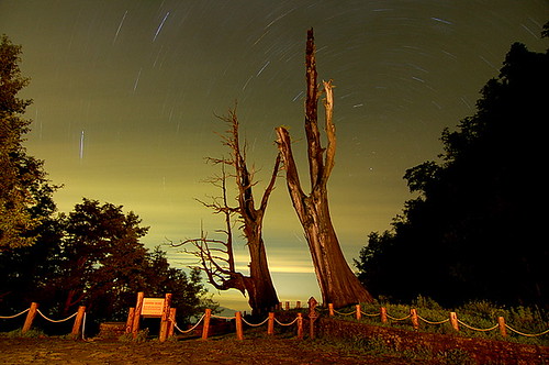
Husband and Wife Trees(Fuqi Trees夫妻樹)
久美部落- 6
2010.12.12 嘉義 / 水漾森林
火燒雲日出:觀高登山服務站 -26
火燒雲日出:觀高登山服務站 -27

IMG_5616.JPG

IMG_5625.JPG

IMG_3619.jpg

IMG_3624.jpg
_DSC1926.jpg
IMG_3565.jpg

2012玉山盃高地路跑‧上山/夫妻樹 (十一)
_DSC1931.jpg
_DSC1891.jpg
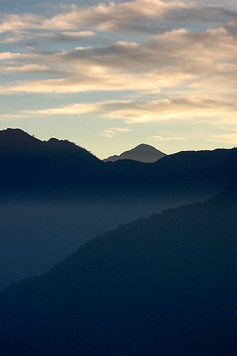
Sunset moment
秀馬日出;玉山主北峰 -101

2012玉山盃高地路跑‧上山/夫妻樹 (九)

2012玉山盃高地路跑‧上山/夫妻樹 (十二)
Fuji RVP 100 -4

IMG_5603.JPG

2006.09.24 夫妻樹長曝
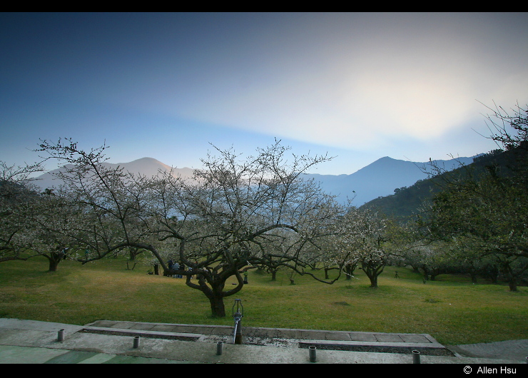
柳家梅園

2006.09.23 夫妻樹星軌
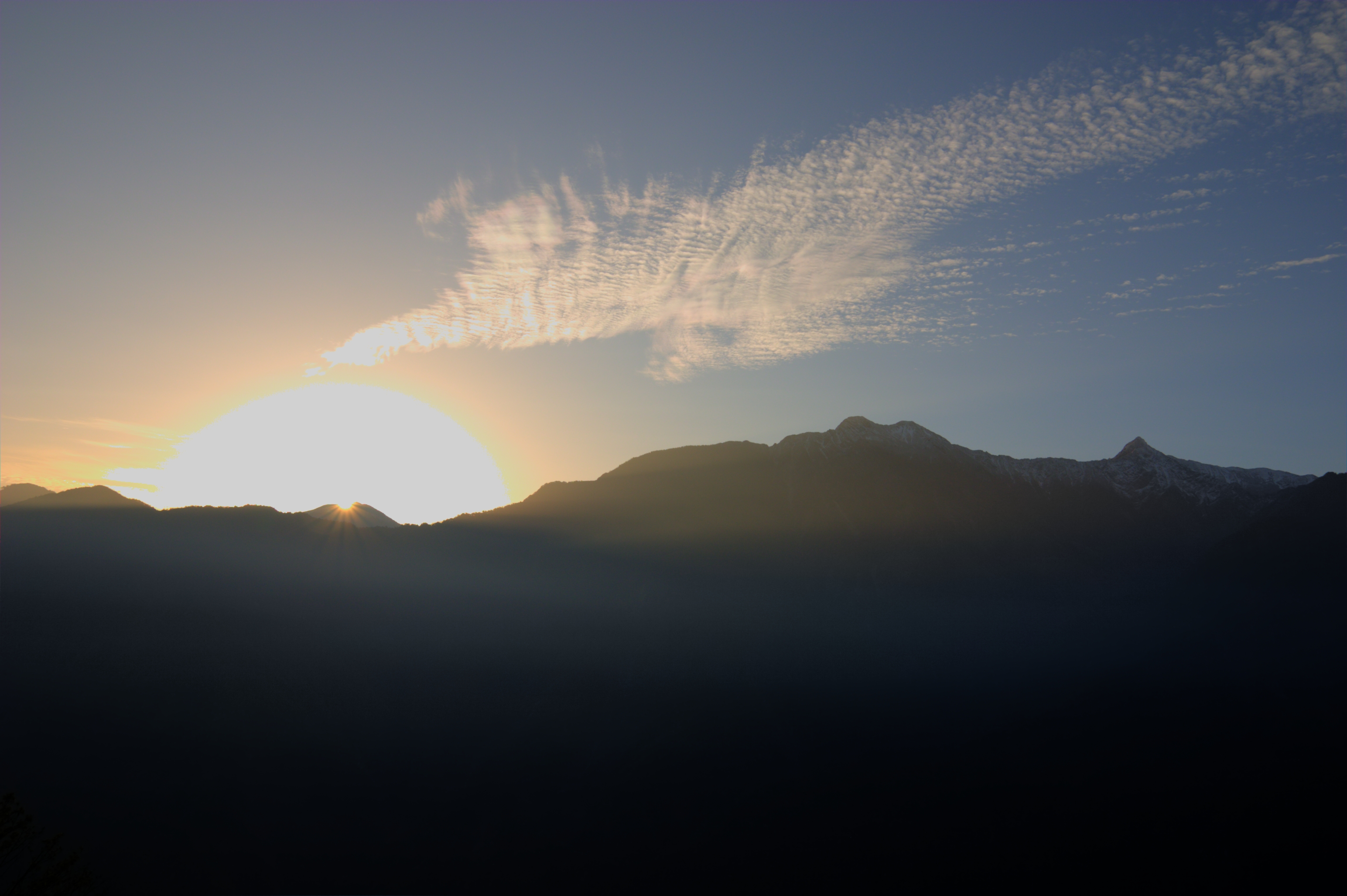
Sunrise over Mt. Yushan, Taiwan

Sunrise over Mt. Yushan
Before sunrise
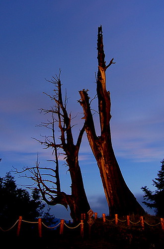
2006.09.24 夫妻樹色溫
2006.09.24 夫妻樹星軌
2006.09.24 阿里山晨曦
Mapa de Taiwán, 南投縣信義鄉豐丘村
Buscar otro lugar
Lugares cercanos
Taiwán, Nantou County, Xinyi Township, 郡大林道
Distrito de Xinyi, Nantou County, Taiwán
Distrito de Xinyi, Nantou County, Taiwán
Yunlong Falls, East District, Chiayi City, Taiwán
Taiwán, 南投縣信義鄉西巒大山
Taiwán
Taiwán, 南投縣信義鄉東埔村
Guangaodengshanfuwu Station, Distrito de Xinyi, Nantou County, Taiwán
角秀山生命紀念館, Ostrov Tayvan', 信義鄉南投縣 Taiwán
Yushan North Peak, Xinyi Township, Nantou County, Taiwán
Yushan Main Peak, Taiwán, 南投縣信義鄉東埔村
Yu Shan, Distrito de Xinyi, Nantou County, Taiwán
Yushan National Park, Xinyi Township, Nantou County, Taiwán
Paiyun Lodge, Taiwán, Chiayi County, Alishan Township, 中山村6鄰排雲號
Mount Shukoran, Xinyi Township, Nantou County, Taiwán
Taiwán, 高雄市桃源區玉山南峰
Taiwán, Nantou County, Xinyi Township, 開信巷14號
Taiwán, 南投縣信義鄉潭南村
Taiwán, Nantou County, Xinyi Township, 投63鄉道85號
No., Zhongzheng Rd, Yuchi Township, Nantou County, Taiwán
Búsquedas recientes
- Horas de salida y puesta de sol de Unnamed Road, Respublika Severnaya Osetiya — Alaniya, Rusia
- Horas de salida y puesta de sol de Herbage Dr, Gulfport, MS, EE. UU.
- Horas de salida y puesta de sol de Pointe-au-Père, Rimouski, Quebec, Canadá
- Horas de salida y puesta de sol de -, Japón
- Horas de salida y puesta de sol de Wyndham Grand Barbados Sam Lords Castle All Inclusive Resort, End of Belair Road, Long Bay, Bridgeto
- Horas de salida y puesta de sol de Satsugeki, Japón, 〒- Hokkaido, Sapporo, Chuo Ward, Minami 2 Jōnishi, 5-chōme−6−1 狸小路5丁目内
- Horas de salida y puesta de sol de Feixiang District, Handan, Hebei, China
- Horas de salida y puesta de sol de Hefei High-Tech Dev Zone CMC, Shushan District, Hefei, Anhui, China
- Horas de salida y puesta de sol de Longfeng Fishing Harbor, No. 15號, Lane, Longjiang St, Zhunan Township, Miaoli County, Taiwán
- Horas de salida y puesta de sol de Sinagoga de Szeged, Szeged, Jósika u. 10, Hungría