Sunrise Sunset Times of Donnersbergkreis, Germany
Location: Germany > Rhineland-Palatinate >
Timezone:
Europe/Berlin
Current Time:
2024-04-19 09:34:43
Longitude:
7.9483049
Latitude:
49.6229588
Sunrise Today:
06:26:19 AM
Sunset Today:
08:28:03 PM
Daylength Today:
14h 1m 44s
Sunrise Tomorrow:
06:24:22 AM
Sunset Tomorrow:
08:29:35 PM
Daylength Tomorrow:
14h 5m 13s
Year Show All Dates
| Date | Sunrise | Sunset | Daylength |
|---|---|---|---|
| 01/01/2024 | 08:24:50 AM | 04:38:39 PM | 8h 13m 49s |
| 01/02/2024 | 08:24:45 AM | 04:39:40 PM | 8h 14m 55s |
| 01/03/2024 | 08:24:37 AM | 04:40:43 PM | 8h 16m 6s |
| 01/04/2024 | 08:24:26 AM | 04:41:49 PM | 8h 17m 23s |
| 01/05/2024 | 08:24:12 AM | 04:42:57 PM | 8h 18m 45s |
| 01/06/2024 | 08:23:55 AM | 04:44:07 PM | 8h 20m 12s |
| 01/07/2024 | 08:23:34 AM | 04:45:19 PM | 8h 21m 45s |
| 01/08/2024 | 08:23:11 AM | 04:46:33 PM | 8h 23m 22s |
| 01/09/2024 | 08:22:45 AM | 04:47:50 PM | 8h 25m 5s |
| 01/10/2024 | 08:22:16 AM | 04:49:08 PM | 8h 26m 52s |
| 01/11/2024 | 08:21:44 AM | 04:50:28 PM | 8h 28m 44s |
| 01/12/2024 | 08:21:08 AM | 04:51:49 PM | 8h 30m 41s |
| 01/13/2024 | 08:20:31 AM | 04:53:13 PM | 8h 32m 42s |
| 01/14/2024 | 08:19:50 AM | 04:54:37 PM | 8h 34m 47s |
| 01/15/2024 | 08:19:06 AM | 04:56:04 PM | 8h 36m 58s |
| 01/16/2024 | 08:18:20 AM | 04:57:32 PM | 8h 39m 12s |
| 01/17/2024 | 08:17:31 AM | 04:59:01 PM | 8h 41m 30s |
| 01/18/2024 | 08:16:39 AM | 05:00:31 PM | 8h 43m 52s |
| 01/19/2024 | 08:15:45 AM | 05:02:03 PM | 8h 46m 18s |
| 01/20/2024 | 08:14:48 AM | 05:03:35 PM | 8h 48m 47s |
| 01/21/2024 | 08:13:48 AM | 05:05:09 PM | 8h 51m 21s |
| 01/22/2024 | 08:12:46 AM | 05:06:44 PM | 8h 53m 58s |
| 01/23/2024 | 08:11:42 AM | 05:08:19 PM | 8h 56m 37s |
| 01/24/2024 | 08:10:35 AM | 05:09:56 PM | 8h 59m 21s |
| 01/25/2024 | 08:09:26 AM | 05:11:33 PM | 9h 2m 7s |
| 01/26/2024 | 08:08:14 AM | 05:13:11 PM | 9h 4m 57s |
| 01/27/2024 | 08:07:01 AM | 05:14:49 PM | 9h 7m 48s |
| 01/28/2024 | 08:05:45 AM | 05:16:28 PM | 9h 10m 43s |
| 01/29/2024 | 08:04:27 AM | 05:18:08 PM | 9h 13m 41s |
| 01/30/2024 | 08:03:07 AM | 05:19:48 PM | 9h 16m 41s |
| 01/31/2024 | 08:01:45 AM | 05:21:28 PM | 9h 19m 43s |
| 02/01/2024 | 08:00:20 AM | 05:23:09 PM | 9h 22m 49s |
| 02/02/2024 | 07:58:54 AM | 05:24:50 PM | 9h 25m 56s |
| 02/03/2024 | 07:57:26 AM | 05:26:32 PM | 9h 29m 6s |
| 02/04/2024 | 07:55:57 AM | 05:28:13 PM | 9h 32m 16s |
| 02/05/2024 | 07:54:25 AM | 05:29:55 PM | 9h 35m 30s |
| 02/06/2024 | 07:52:52 AM | 05:31:37 PM | 9h 38m 45s |
| 02/07/2024 | 07:51:17 AM | 05:33:19 PM | 9h 42m 2s |
| 02/08/2024 | 07:49:40 AM | 05:35:01 PM | 9h 45m 21s |
| 02/09/2024 | 07:48:02 AM | 05:36:43 PM | 9h 48m 41s |
| 02/10/2024 | 07:46:22 AM | 05:38:25 PM | 9h 52m 3s |
| 02/11/2024 | 07:44:40 AM | 05:40:07 PM | 9h 55m 27s |
| 02/12/2024 | 07:42:57 AM | 05:41:49 PM | 9h 58m 52s |
| 02/13/2024 | 07:41:13 AM | 05:43:31 PM | 10h 2m 18s |
| 02/14/2024 | 07:39:28 AM | 05:45:13 PM | 10h 5m 45s |
| 02/15/2024 | 07:37:41 AM | 05:46:55 PM | 10h 9m 14s |
| 02/16/2024 | 07:35:52 AM | 05:48:36 PM | 10h 12m 44s |
| 02/17/2024 | 07:34:03 AM | 05:50:18 PM | 10h 16m 15s |
| 02/18/2024 | 07:32:12 AM | 05:51:59 PM | 10h 19m 47s |
| 02/19/2024 | 07:30:20 AM | 05:53:40 PM | 10h 23m 20s |
| 02/20/2024 | 07:28:28 AM | 05:55:20 PM | 10h 26m 52s |
| 02/21/2024 | 07:26:34 AM | 05:57:01 PM | 10h 30m 27s |
| 02/22/2024 | 07:24:38 AM | 05:58:41 PM | 10h 34m 3s |
| 02/23/2024 | 07:22:42 AM | 06:00:21 PM | 10h 37m 39s |
| 02/24/2024 | 07:20:45 AM | 06:02:01 PM | 10h 41m 16s |
| 02/25/2024 | 07:18:48 AM | 06:03:40 PM | 10h 44m 52s |
| 02/26/2024 | 07:16:49 AM | 06:05:19 PM | 10h 48m 30s |
| 02/27/2024 | 07:14:49 AM | 06:06:58 PM | 10h 52m 9s |
| 02/28/2024 | 07:12:49 AM | 06:08:37 PM | 10h 55m 48s |
| 02/29/2024 | 07:10:48 AM | 06:10:15 PM | 10h 59m 27s |
| 03/01/2024 | 07:08:46 AM | 06:11:53 PM | 11h 3m 7s |
| 03/02/2024 | 07:06:43 AM | 06:13:31 PM | 11h 6m 48s |
| 03/03/2024 | 07:04:40 AM | 06:15:09 PM | 11h 10m 29s |
| 03/04/2024 | 07:02:36 AM | 06:16:46 PM | 11h 14m 10s |
| 03/05/2024 | 07:00:32 AM | 06:18:23 PM | 11h 17m 51s |
| 03/06/2024 | 06:58:26 AM | 06:19:59 PM | 11h 21m 33s |
| 03/07/2024 | 06:56:21 AM | 06:21:36 PM | 11h 25m 15s |
| 03/08/2024 | 06:54:15 AM | 06:23:12 PM | 11h 28m 57s |
| 03/09/2024 | 06:52:08 AM | 06:24:48 PM | 11h 32m 40s |
| 03/10/2024 | 06:50:02 AM | 06:26:24 PM | 11h 36m 22s |
| 03/11/2024 | 06:47:54 AM | 06:27:59 PM | 11h 40m 5s |
| 03/12/2024 | 06:45:47 AM | 06:29:34 PM | 11h 43m 47s |
| 03/13/2024 | 06:43:39 AM | 06:31:09 PM | 11h 47m 30s |
| 03/14/2024 | 06:41:31 AM | 06:32:44 PM | 11h 51m 13s |
| 03/15/2024 | 06:39:22 AM | 06:34:19 PM | 11h 54m 57s |
| 03/16/2024 | 06:37:13 AM | 06:35:53 PM | 11h 58m 40s |
| 03/17/2024 | 06:35:04 AM | 06:37:27 PM | 12h 2m 23s |
| 03/18/2024 | 06:32:55 AM | 06:39:01 PM | 12h 6m 6s |
| 03/19/2024 | 06:30:46 AM | 06:40:35 PM | 12h 9m 49s |
| 03/20/2024 | 06:28:37 AM | 06:42:09 PM | 12h 13m 32s |
| 03/21/2024 | 06:26:27 AM | 06:43:43 PM | 12h 17m 16s |
| 03/22/2024 | 06:24:18 AM | 06:45:16 PM | 12h 20m 58s |
| 03/23/2024 | 06:22:09 AM | 06:46:50 PM | 12h 24m 41s |
| 03/24/2024 | 06:19:59 AM | 06:48:23 PM | 12h 28m 24s |
| 03/25/2024 | 06:17:50 AM | 06:49:56 PM | 12h 32m 6s |
| 03/26/2024 | 06:15:40 AM | 06:51:29 PM | 12h 35m 49s |
| 03/27/2024 | 06:13:31 AM | 06:53:02 PM | 12h 39m 31s |
| 03/28/2024 | 06:11:22 AM | 06:54:35 PM | 12h 43m 13s |
| 03/29/2024 | 06:09:13 AM | 06:56:08 PM | 12h 46m 55s |
| 03/30/2024 | 06:07:05 AM | 06:57:40 PM | 12h 50m 35s |
| 03/31/2024 | 07:05:02 AM | 07:59:09 PM | 12h 54m 7s |
| 04/01/2024 | 07:02:54 AM | 08:00:42 PM | 12h 57m 48s |
| 04/02/2024 | 07:00:46 AM | 08:02:15 PM | 13h 1m 29s |
| 04/03/2024 | 06:58:38 AM | 08:03:47 PM | 13h 5m 9s |
| 04/04/2024 | 06:56:31 AM | 08:05:20 PM | 13h 8m 49s |
| 04/05/2024 | 06:54:24 AM | 08:06:52 PM | 13h 12m 28s |
| 04/06/2024 | 06:52:18 AM | 08:08:25 PM | 13h 16m 7s |
| 04/07/2024 | 06:50:12 AM | 08:09:57 PM | 13h 19m 45s |
| 04/08/2024 | 06:48:07 AM | 08:11:30 PM | 13h 23m 23s |
| 04/09/2024 | 06:46:02 AM | 08:13:02 PM | 13h 27m 0s |
| 04/10/2024 | 06:43:58 AM | 08:14:35 PM | 13h 30m 37s |
| 04/11/2024 | 06:41:54 AM | 08:16:07 PM | 13h 34m 13s |
| 04/12/2024 | 06:39:51 AM | 08:17:40 PM | 13h 37m 49s |
| 04/13/2024 | 06:37:49 AM | 08:19:12 PM | 13h 41m 23s |
| 04/14/2024 | 06:35:47 AM | 08:20:45 PM | 13h 44m 58s |
| 04/15/2024 | 06:33:46 AM | 08:22:17 PM | 13h 48m 31s |
| 04/16/2024 | 06:31:46 AM | 08:23:49 PM | 13h 52m 3s |
| 04/17/2024 | 06:29:46 AM | 08:25:22 PM | 13h 55m 36s |
| 04/18/2024 | 06:27:48 AM | 08:26:54 PM | 13h 59m 6s |
| 04/19/2024 | 06:25:50 AM | 08:28:26 PM | 14h 2m 36s |
| 04/20/2024 | 06:23:53 AM | 08:29:58 PM | 14h 6m 5s |
| 04/21/2024 | 06:21:57 AM | 08:31:31 PM | 14h 9m 34s |
| 04/22/2024 | 06:20:03 AM | 08:33:03 PM | 14h 13m 0s |
| 04/23/2024 | 06:18:09 AM | 08:34:35 PM | 14h 16m 26s |
| 04/24/2024 | 06:16:16 AM | 08:36:06 PM | 14h 19m 50s |
| 04/25/2024 | 06:14:24 AM | 08:37:38 PM | 14h 23m 14s |
| 04/26/2024 | 06:12:34 AM | 08:39:10 PM | 14h 26m 36s |
| 04/27/2024 | 06:10:45 AM | 08:40:41 PM | 14h 29m 56s |
| 04/28/2024 | 06:08:56 AM | 08:42:12 PM | 14h 33m 16s |
| 04/29/2024 | 06:07:10 AM | 08:43:43 PM | 14h 36m 33s |
| 04/30/2024 | 06:05:24 AM | 08:45:14 PM | 14h 39m 50s |
| 05/01/2024 | 06:03:40 AM | 08:46:44 PM | 14h 43m 4s |
| 05/02/2024 | 06:01:57 AM | 08:48:14 PM | 14h 46m 17s |
| 05/03/2024 | 06:00:16 AM | 08:49:44 PM | 14h 49m 28s |
| 05/04/2024 | 05:58:36 AM | 08:51:14 PM | 14h 52m 38s |
| 05/05/2024 | 05:56:58 AM | 08:52:43 PM | 14h 55m 45s |
| 05/06/2024 | 05:55:21 AM | 08:54:11 PM | 14h 58m 50s |
| 05/07/2024 | 05:53:46 AM | 08:55:39 PM | 15h 1m 53s |
| 05/08/2024 | 05:52:12 AM | 08:57:07 PM | 15h 4m 55s |
| 05/09/2024 | 05:50:40 AM | 08:58:34 PM | 15h 7m 54s |
| 05/10/2024 | 05:49:10 AM | 09:00:00 PM | 15h 10m 50s |
| 05/11/2024 | 05:47:42 AM | 09:01:26 PM | 15h 13m 44s |
| 05/12/2024 | 05:46:15 AM | 09:02:51 PM | 15h 16m 36s |
| 05/13/2024 | 05:44:51 AM | 09:04:16 PM | 15h 19m 25s |
| 05/14/2024 | 05:43:28 AM | 09:05:39 PM | 15h 22m 11s |
| 05/15/2024 | 05:42:07 AM | 09:07:02 PM | 15h 24m 55s |
| 05/16/2024 | 05:40:48 AM | 09:08:24 PM | 15h 27m 36s |
| 05/17/2024 | 05:39:32 AM | 09:09:45 PM | 15h 30m 13s |
| 05/18/2024 | 05:38:17 AM | 09:11:05 PM | 15h 32m 48s |
| 05/19/2024 | 05:37:05 AM | 09:12:24 PM | 15h 35m 19s |
| 05/20/2024 | 05:35:55 AM | 09:13:42 PM | 15h 37m 47s |
| 05/21/2024 | 05:34:47 AM | 09:14:58 PM | 15h 40m 11s |
| 05/22/2024 | 05:33:41 AM | 09:16:14 PM | 15h 42m 33s |
| 05/23/2024 | 05:32:37 AM | 09:17:28 PM | 15h 44m 51s |
| 05/24/2024 | 05:31:36 AM | 09:18:41 PM | 15h 47m 5s |
| 05/25/2024 | 05:30:38 AM | 09:19:52 PM | 15h 49m 14s |
| 05/26/2024 | 05:29:41 AM | 09:21:02 PM | 15h 51m 21s |
| 05/27/2024 | 05:28:48 AM | 09:22:10 PM | 15h 53m 22s |
| 05/28/2024 | 05:27:56 AM | 09:23:17 PM | 15h 55m 21s |
| 05/29/2024 | 05:27:08 AM | 09:24:22 PM | 15h 57m 14s |
| 05/30/2024 | 05:26:21 AM | 09:25:26 PM | 15h 59m 5s |
| 05/31/2024 | 05:25:38 AM | 09:26:27 PM | 16h 0m 49s |
| 06/01/2024 | 05:24:57 AM | 09:27:27 PM | 16h 2m 30s |
| 06/02/2024 | 05:24:19 AM | 09:28:25 PM | 16h 4m 6s |
| 06/03/2024 | 05:23:43 AM | 09:29:21 PM | 16h 5m 38s |
| 06/04/2024 | 05:23:10 AM | 09:30:15 PM | 16h 7m 5s |
| 06/05/2024 | 05:22:40 AM | 09:31:06 PM | 16h 8m 26s |
| 06/06/2024 | 05:22:13 AM | 09:31:56 PM | 16h 9m 43s |
| 06/07/2024 | 05:21:48 AM | 09:32:43 PM | 16h 10m 55s |
| 06/08/2024 | 05:21:26 AM | 09:33:28 PM | 16h 12m 2s |
| 06/09/2024 | 05:21:07 AM | 09:34:11 PM | 16h 13m 4s |
| 06/10/2024 | 05:20:51 AM | 09:34:52 PM | 16h 14m 1s |
| 06/11/2024 | 05:20:38 AM | 09:35:30 PM | 16h 14m 52s |
| 06/12/2024 | 05:20:27 AM | 09:36:05 PM | 16h 15m 38s |
| 06/13/2024 | 05:20:19 AM | 09:36:38 PM | 16h 16m 19s |
| 06/14/2024 | 05:20:15 AM | 09:37:09 PM | 16h 16m 54s |
| 06/15/2024 | 05:20:13 AM | 09:37:37 PM | 16h 17m 24s |
| 06/16/2024 | 05:20:13 AM | 09:38:02 PM | 16h 17m 49s |
| 06/17/2024 | 05:20:17 AM | 09:38:24 PM | 16h 18m 7s |
| 06/18/2024 | 05:20:23 AM | 09:38:44 PM | 16h 18m 21s |
| 06/19/2024 | 05:20:32 AM | 09:39:01 PM | 16h 18m 29s |
| 06/20/2024 | 05:20:44 AM | 09:39:16 PM | 16h 18m 32s |
| 06/21/2024 | 05:20:58 AM | 09:39:27 PM | 16h 18m 29s |
| 06/22/2024 | 05:21:16 AM | 09:39:36 PM | 16h 18m 20s |
| 06/23/2024 | 05:21:35 AM | 09:39:42 PM | 16h 18m 7s |
| 06/24/2024 | 05:21:58 AM | 09:39:45 PM | 16h 17m 47s |
| 06/25/2024 | 05:22:23 AM | 09:39:45 PM | 16h 17m 22s |
| 06/26/2024 | 05:22:51 AM | 09:39:43 PM | 16h 16m 52s |
| 06/27/2024 | 05:23:21 AM | 09:39:37 PM | 16h 16m 16s |
| 06/28/2024 | 05:23:54 AM | 09:39:29 PM | 16h 15m 35s |
| 06/29/2024 | 05:24:29 AM | 09:39:18 PM | 16h 14m 49s |
| 06/30/2024 | 05:25:06 AM | 09:39:03 PM | 16h 13m 57s |
| 07/01/2024 | 05:25:46 AM | 09:38:47 PM | 16h 13m 1s |
| 07/02/2024 | 05:26:28 AM | 09:38:27 PM | 16h 11m 59s |
| 07/03/2024 | 05:27:12 AM | 09:38:04 PM | 16h 10m 52s |
| 07/04/2024 | 05:27:59 AM | 09:37:39 PM | 16h 9m 40s |
| 07/05/2024 | 05:28:48 AM | 09:37:10 PM | 16h 8m 22s |
| 07/06/2024 | 05:29:38 AM | 09:36:39 PM | 16h 7m 1s |
| 07/07/2024 | 05:30:31 AM | 09:36:05 PM | 16h 5m 34s |
| 07/08/2024 | 05:31:26 AM | 09:35:29 PM | 16h 4m 3s |
| 07/09/2024 | 05:32:22 AM | 09:34:50 PM | 16h 2m 28s |
| 07/10/2024 | 05:33:20 AM | 09:34:08 PM | 16h 0m 48s |
| 07/11/2024 | 05:34:20 AM | 09:33:23 PM | 15h 59m 3s |
| 07/12/2024 | 05:35:22 AM | 09:32:36 PM | 15h 57m 14s |
| 07/13/2024 | 05:36:26 AM | 09:31:46 PM | 15h 55m 20s |
| 07/14/2024 | 05:37:31 AM | 09:30:54 PM | 15h 53m 23s |
| 07/15/2024 | 05:38:37 AM | 09:29:59 PM | 15h 51m 22s |
| 07/16/2024 | 05:39:45 AM | 09:29:01 PM | 15h 49m 16s |
| 07/17/2024 | 05:40:54 AM | 09:28:02 PM | 15h 47m 8s |
| 07/18/2024 | 05:42:05 AM | 09:26:59 PM | 15h 44m 54s |
| 07/19/2024 | 05:43:17 AM | 09:25:55 PM | 15h 42m 38s |
| 07/20/2024 | 05:44:30 AM | 09:24:48 PM | 15h 40m 18s |
| 07/21/2024 | 05:45:44 AM | 09:23:39 PM | 15h 37m 55s |
| 07/22/2024 | 05:46:59 AM | 09:22:27 PM | 15h 35m 28s |
| 07/23/2024 | 05:48:16 AM | 09:21:14 PM | 15h 32m 58s |
| 07/24/2024 | 05:49:33 AM | 09:19:58 PM | 15h 30m 25s |
| 07/25/2024 | 05:50:51 AM | 09:18:40 PM | 15h 27m 49s |
| 07/26/2024 | 05:52:10 AM | 09:17:20 PM | 15h 25m 10s |
| 07/27/2024 | 05:53:30 AM | 09:15:58 PM | 15h 22m 28s |
| 07/28/2024 | 05:54:51 AM | 09:14:34 PM | 15h 19m 43s |
| 07/29/2024 | 05:56:12 AM | 09:13:08 PM | 15h 16m 56s |
| 07/30/2024 | 05:57:34 AM | 09:11:41 PM | 15h 14m 7s |
| 07/31/2024 | 05:58:57 AM | 09:10:11 PM | 15h 11m 14s |
| 08/01/2024 | 06:00:20 AM | 09:08:40 PM | 15h 8m 20s |
| 08/02/2024 | 06:01:44 AM | 09:07:07 PM | 15h 5m 23s |
| 08/03/2024 | 06:03:08 AM | 09:05:32 PM | 15h 2m 24s |
| 08/04/2024 | 06:04:32 AM | 09:03:56 PM | 14h 59m 24s |
| 08/05/2024 | 06:05:57 AM | 09:02:18 PM | 14h 56m 21s |
| 08/06/2024 | 06:07:23 AM | 09:00:38 PM | 14h 53m 15s |
| 08/07/2024 | 06:08:49 AM | 08:58:57 PM | 14h 50m 8s |
| 08/08/2024 | 06:10:15 AM | 08:57:14 PM | 14h 46m 59s |
| 08/09/2024 | 06:11:41 AM | 08:55:30 PM | 14h 43m 49s |
| 08/10/2024 | 06:13:08 AM | 08:53:45 PM | 14h 40m 37s |
| 08/11/2024 | 06:14:34 AM | 08:51:58 PM | 14h 37m 24s |
| 08/12/2024 | 06:16:01 AM | 08:50:10 PM | 14h 34m 9s |
| 08/13/2024 | 06:17:29 AM | 08:48:21 PM | 14h 30m 52s |
| 08/14/2024 | 06:18:56 AM | 08:46:30 PM | 14h 27m 34s |
| 08/15/2024 | 06:20:23 AM | 08:44:39 PM | 14h 24m 16s |
| 08/16/2024 | 06:21:51 AM | 08:42:46 PM | 14h 20m 55s |
| 08/17/2024 | 06:23:18 AM | 08:40:52 PM | 14h 17m 34s |
| 08/18/2024 | 06:24:46 AM | 08:38:57 PM | 14h 14m 11s |
| 08/19/2024 | 06:26:14 AM | 08:37:01 PM | 14h 10m 47s |
| 08/20/2024 | 06:27:42 AM | 08:35:04 PM | 14h 7m 22s |
| 08/21/2024 | 06:29:10 AM | 08:33:06 PM | 14h 3m 56s |
| 08/22/2024 | 06:30:37 AM | 08:31:07 PM | 14h 0m 30s |
| 08/23/2024 | 06:32:05 AM | 08:29:07 PM | 13h 57m 2s |
| 08/24/2024 | 06:33:33 AM | 08:27:06 PM | 13h 53m 33s |
| 08/25/2024 | 06:35:01 AM | 08:25:05 PM | 13h 50m 4s |
| 08/26/2024 | 06:36:29 AM | 08:23:03 PM | 13h 46m 34s |
| 08/27/2024 | 06:37:57 AM | 08:21:00 PM | 13h 43m 3s |
| 08/28/2024 | 06:39:24 AM | 08:18:56 PM | 13h 39m 32s |
| 08/29/2024 | 06:40:52 AM | 08:16:52 PM | 13h 36m 0s |
| 08/30/2024 | 06:42:20 AM | 08:14:47 PM | 13h 32m 27s |
| 08/31/2024 | 06:43:48 AM | 08:12:41 PM | 13h 28m 53s |
| 09/01/2024 | 06:45:15 AM | 08:10:35 PM | 13h 25m 20s |
| 09/02/2024 | 06:46:43 AM | 08:08:28 PM | 13h 21m 45s |
| 09/03/2024 | 06:48:11 AM | 08:06:21 PM | 13h 18m 10s |
| 09/04/2024 | 06:49:39 AM | 08:04:13 PM | 13h 14m 34s |
| 09/05/2024 | 06:51:06 AM | 08:02:05 PM | 13h 10m 59s |
| 09/06/2024 | 06:52:34 AM | 07:59:57 PM | 13h 7m 23s |
| 09/07/2024 | 06:54:02 AM | 07:57:48 PM | 13h 3m 46s |
| 09/08/2024 | 06:55:29 AM | 07:55:38 PM | 13h 0m 9s |
| 09/09/2024 | 06:56:57 AM | 07:53:29 PM | 12h 56m 32s |
| 09/10/2024 | 06:58:25 AM | 07:51:19 PM | 12h 52m 54s |
| 09/11/2024 | 06:59:53 AM | 07:49:09 PM | 12h 49m 16s |
| 09/12/2024 | 07:01:20 AM | 07:46:59 PM | 12h 45m 39s |
| 09/13/2024 | 07:02:48 AM | 07:44:48 PM | 12h 42m 0s |
| 09/14/2024 | 07:04:16 AM | 07:42:37 PM | 12h 38m 21s |
| 09/15/2024 | 07:05:44 AM | 07:40:26 PM | 12h 34m 42s |
| 09/16/2024 | 07:07:12 AM | 07:38:16 PM | 12h 31m 4s |
| 09/17/2024 | 07:08:40 AM | 07:36:04 PM | 12h 27m 24s |
| 09/18/2024 | 07:10:08 AM | 07:33:53 PM | 12h 23m 45s |
| 09/19/2024 | 07:11:37 AM | 07:31:42 PM | 12h 20m 5s |
| 09/20/2024 | 07:13:05 AM | 07:29:31 PM | 12h 16m 26s |
| 09/21/2024 | 07:14:34 AM | 07:27:20 PM | 12h 12m 46s |
| 09/22/2024 | 07:16:02 AM | 07:25:09 PM | 12h 9m 7s |
| 09/23/2024 | 07:17:31 AM | 07:22:59 PM | 12h 5m 28s |
| 09/24/2024 | 07:19:00 AM | 07:20:48 PM | 12h 1m 48s |
| 09/25/2024 | 07:20:30 AM | 07:18:37 PM | 11h 58m 7s |
| 09/26/2024 | 07:21:59 AM | 07:16:27 PM | 11h 54m 28s |
| 09/27/2024 | 07:23:29 AM | 07:14:17 PM | 11h 50m 48s |
| 09/28/2024 | 07:24:58 AM | 07:12:07 PM | 11h 47m 9s |
| 09/29/2024 | 07:26:28 AM | 07:09:57 PM | 11h 43m 29s |
| 09/30/2024 | 07:27:59 AM | 07:07:48 PM | 11h 39m 49s |
| 10/01/2024 | 07:29:29 AM | 07:05:39 PM | 11h 36m 10s |
| 10/02/2024 | 07:31:00 AM | 07:03:31 PM | 11h 32m 31s |
| 10/03/2024 | 07:32:31 AM | 07:01:23 PM | 11h 28m 52s |
| 10/04/2024 | 07:34:02 AM | 06:59:15 PM | 11h 25m 13s |
| 10/05/2024 | 07:35:33 AM | 06:57:08 PM | 11h 21m 35s |
| 10/06/2024 | 07:37:05 AM | 06:55:01 PM | 11h 17m 56s |
| 10/07/2024 | 07:38:37 AM | 06:52:55 PM | 11h 14m 18s |
| 10/08/2024 | 07:40:09 AM | 06:50:49 PM | 11h 10m 40s |
| 10/09/2024 | 07:41:42 AM | 06:48:44 PM | 11h 7m 2s |
| 10/10/2024 | 07:43:15 AM | 06:46:40 PM | 11h 3m 25s |
| 10/11/2024 | 07:44:48 AM | 06:44:37 PM | 10h 59m 49s |
| 10/12/2024 | 07:46:22 AM | 06:42:34 PM | 10h 56m 12s |
| 10/13/2024 | 07:47:55 AM | 06:40:31 PM | 10h 52m 36s |
| 10/14/2024 | 07:49:29 AM | 06:38:30 PM | 10h 49m 1s |
| 10/15/2024 | 07:51:04 AM | 06:36:30 PM | 10h 45m 26s |
| 10/16/2024 | 07:52:39 AM | 06:34:30 PM | 10h 41m 51s |
| 10/17/2024 | 07:54:14 AM | 06:32:31 PM | 10h 38m 17s |
| 10/18/2024 | 07:55:49 AM | 06:30:33 PM | 10h 34m 44s |
| 10/19/2024 | 07:57:24 AM | 06:28:36 PM | 10h 31m 12s |
| 10/20/2024 | 07:59:00 AM | 06:26:40 PM | 10h 27m 40s |
| 10/21/2024 | 08:00:36 AM | 06:24:46 PM | 10h 24m 10s |
| 10/22/2024 | 08:02:13 AM | 06:22:52 PM | 10h 20m 39s |
| 10/23/2024 | 08:03:49 AM | 06:20:59 PM | 10h 17m 10s |
| 10/24/2024 | 08:05:26 AM | 06:19:08 PM | 10h 13m 42s |
| 10/25/2024 | 08:07:03 AM | 06:17:18 PM | 10h 10m 15s |
| 10/26/2024 | 08:08:41 AM | 06:15:29 PM | 10h 6m 48s |
| 10/27/2024 | 07:10:22 AM | 05:13:36 PM | 10h 3m 14s |
| 10/28/2024 | 07:12:00 AM | 05:11:50 PM | 9h 59m 50s |
| 10/29/2024 | 07:13:38 AM | 05:10:05 PM | 9h 56m 27s |
| 10/30/2024 | 07:15:16 AM | 05:08:22 PM | 9h 53m 6s |
| 10/31/2024 | 07:16:54 AM | 05:06:40 PM | 9h 49m 46s |
| 11/01/2024 | 07:18:32 AM | 05:04:59 PM | 9h 46m 27s |
| 11/02/2024 | 07:20:10 AM | 05:03:21 PM | 9h 43m 11s |
| 11/03/2024 | 07:21:48 AM | 05:01:43 PM | 9h 39m 55s |
| 11/04/2024 | 07:23:27 AM | 05:00:08 PM | 9h 36m 41s |
| 11/05/2024 | 07:25:05 AM | 04:58:34 PM | 9h 33m 29s |
| 11/06/2024 | 07:26:43 AM | 04:57:02 PM | 9h 30m 19s |
| 11/07/2024 | 07:28:21 AM | 04:55:32 PM | 9h 27m 11s |
| 11/08/2024 | 07:29:58 AM | 04:54:03 PM | 9h 24m 5s |
| 11/09/2024 | 07:31:36 AM | 04:52:37 PM | 9h 21m 1s |
| 11/10/2024 | 07:33:13 AM | 04:51:12 PM | 9h 17m 59s |
| 11/11/2024 | 07:34:50 AM | 04:49:50 PM | 9h 15m 0s |
| 11/12/2024 | 07:36:27 AM | 04:48:29 PM | 9h 12m 2s |
| 11/13/2024 | 07:38:03 AM | 04:47:11 PM | 9h 9m 8s |
| 11/14/2024 | 07:39:38 AM | 04:45:54 PM | 9h 6m 16s |
| 11/15/2024 | 07:41:14 AM | 04:44:40 PM | 9h 3m 26s |
| 11/16/2024 | 07:42:48 AM | 04:43:29 PM | 9h 0m 41s |
| 11/17/2024 | 07:44:22 AM | 04:42:19 PM | 8h 57m 57s |
| 11/18/2024 | 07:45:55 AM | 04:41:12 PM | 8h 55m 17s |
| 11/19/2024 | 07:47:28 AM | 04:40:08 PM | 8h 52m 40s |
| 11/20/2024 | 07:48:59 AM | 04:39:06 PM | 8h 50m 7s |
| 11/21/2024 | 07:50:30 AM | 04:38:06 PM | 8h 47m 36s |
| 11/22/2024 | 07:52:00 AM | 04:37:09 PM | 8h 45m 9s |
| 11/23/2024 | 07:53:28 AM | 04:36:14 PM | 8h 42m 46s |
| 11/24/2024 | 07:54:56 AM | 04:35:23 PM | 8h 40m 27s |
| 11/25/2024 | 07:56:22 AM | 04:34:33 PM | 8h 38m 11s |
| 11/26/2024 | 07:57:47 AM | 04:33:47 PM | 8h 36m 0s |
| 11/27/2024 | 07:59:11 AM | 04:33:04 PM | 8h 33m 53s |
| 11/28/2024 | 08:00:33 AM | 04:32:23 PM | 8h 31m 50s |
| 11/29/2024 | 08:01:54 AM | 04:31:45 PM | 8h 29m 51s |
| 11/30/2024 | 08:03:13 AM | 04:31:10 PM | 8h 27m 57s |
| 12/01/2024 | 08:04:31 AM | 04:30:38 PM | 8h 26m 7s |
| 12/02/2024 | 08:05:46 AM | 04:30:09 PM | 8h 24m 23s |
| 12/03/2024 | 08:07:00 AM | 04:29:43 PM | 8h 22m 43s |
| 12/04/2024 | 08:08:12 AM | 04:29:20 PM | 8h 21m 8s |
| 12/05/2024 | 08:09:23 AM | 04:29:00 PM | 8h 19m 37s |
| 12/06/2024 | 08:10:31 AM | 04:28:43 PM | 8h 18m 12s |
| 12/07/2024 | 08:11:37 AM | 04:28:29 PM | 8h 16m 52s |
| 12/08/2024 | 08:12:40 AM | 04:28:19 PM | 8h 15m 39s |
| 12/09/2024 | 08:13:42 AM | 04:28:11 PM | 8h 14m 29s |
| 12/10/2024 | 08:14:41 AM | 04:28:07 PM | 8h 13m 26s |
| 12/11/2024 | 08:15:38 AM | 04:28:05 PM | 8h 12m 27s |
| 12/12/2024 | 08:16:32 AM | 04:28:07 PM | 8h 11m 35s |
| 12/13/2024 | 08:17:24 AM | 04:28:13 PM | 8h 10m 49s |
| 12/14/2024 | 08:18:13 AM | 04:28:21 PM | 8h 10m 8s |
| 12/15/2024 | 08:19:00 AM | 04:28:32 PM | 8h 9m 32s |
| 12/16/2024 | 08:19:44 AM | 04:28:47 PM | 8h 9m 3s |
| 12/17/2024 | 08:20:25 AM | 04:29:05 PM | 8h 8m 40s |
| 12/18/2024 | 08:21:03 AM | 04:29:25 PM | 8h 8m 22s |
| 12/19/2024 | 08:21:39 AM | 04:29:49 PM | 8h 8m 10s |
| 12/20/2024 | 08:22:11 AM | 04:30:16 PM | 8h 8m 5s |
| 12/21/2024 | 08:22:41 AM | 04:30:46 PM | 8h 8m 5s |
| 12/22/2024 | 08:23:08 AM | 04:31:19 PM | 8h 8m 11s |
| 12/23/2024 | 08:23:31 AM | 04:31:55 PM | 8h 8m 24s |
| 12/24/2024 | 08:23:52 AM | 04:32:34 PM | 8h 8m 42s |
| 12/25/2024 | 08:24:10 AM | 04:33:16 PM | 8h 9m 6s |
| 12/26/2024 | 08:24:24 AM | 04:34:00 PM | 8h 9m 36s |
| 12/27/2024 | 08:24:36 AM | 04:34:48 PM | 8h 10m 12s |
| 12/28/2024 | 08:24:44 AM | 04:35:38 PM | 8h 10m 54s |
| 12/29/2024 | 08:24:49 AM | 04:36:31 PM | 8h 11m 42s |
| 12/30/2024 | 08:24:51 AM | 04:37:26 PM | 8h 12m 35s |
Sunrise & Sunset Photos
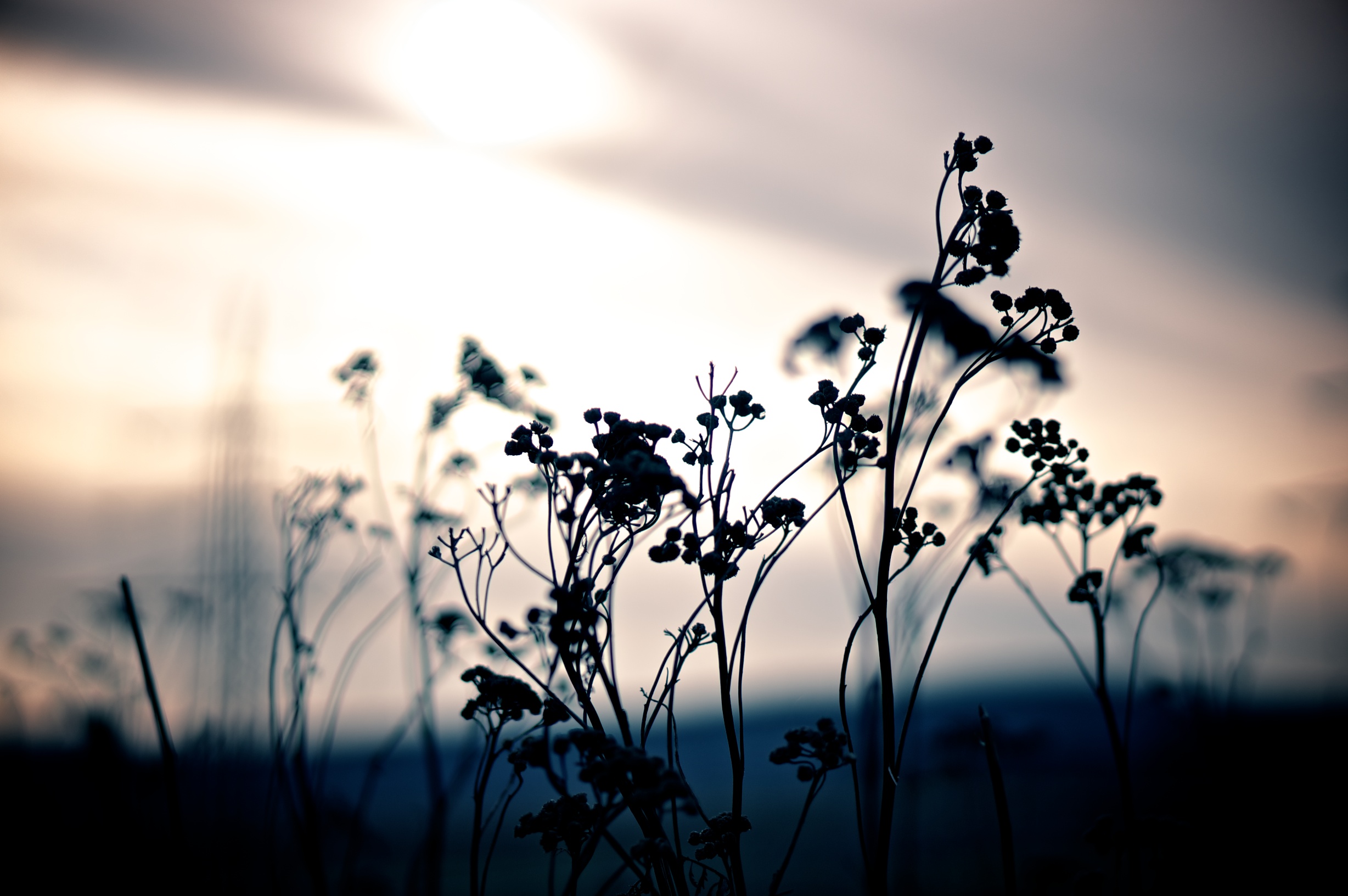
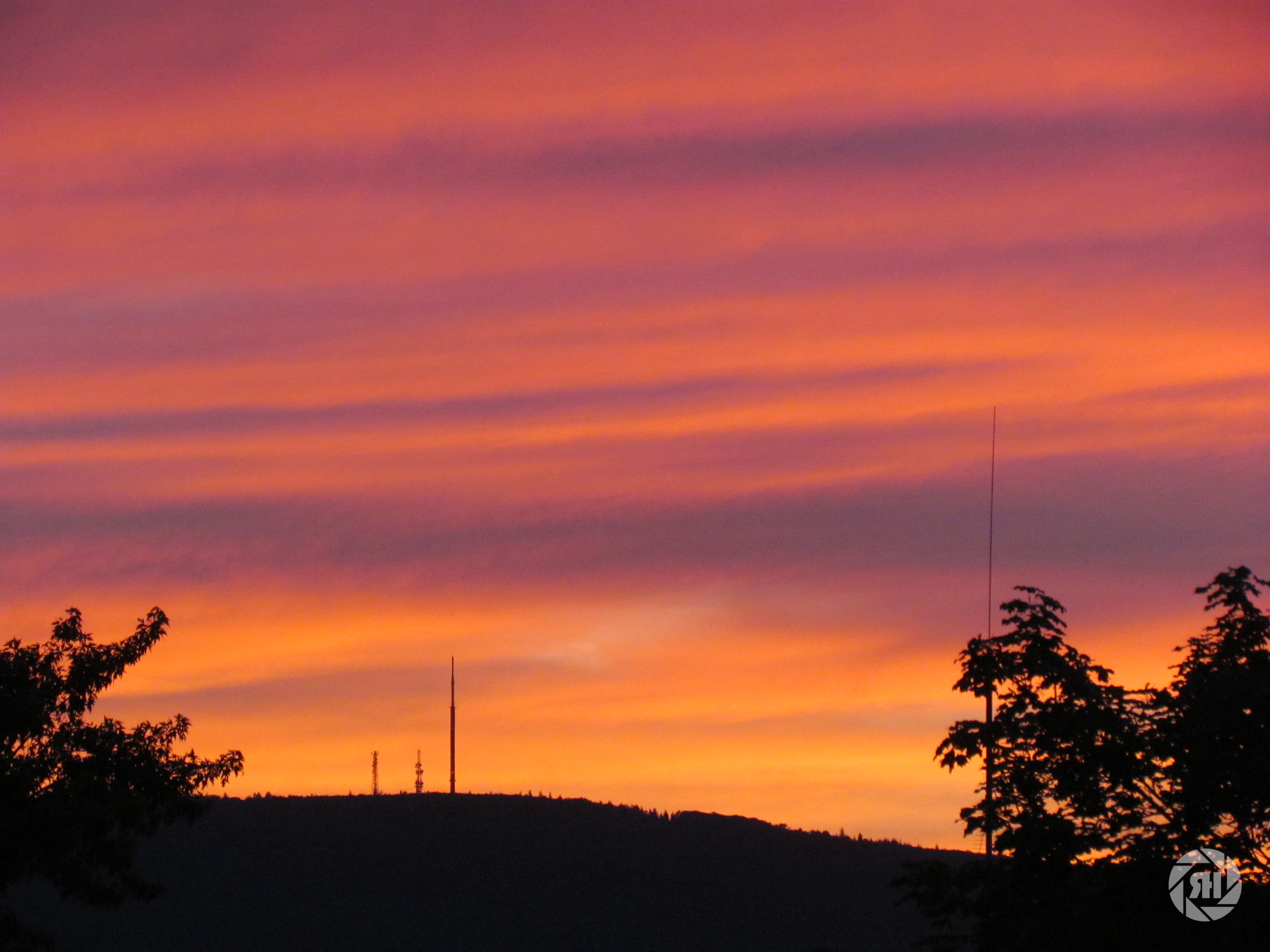
Winter Sunset

Goldener Herbst 2011
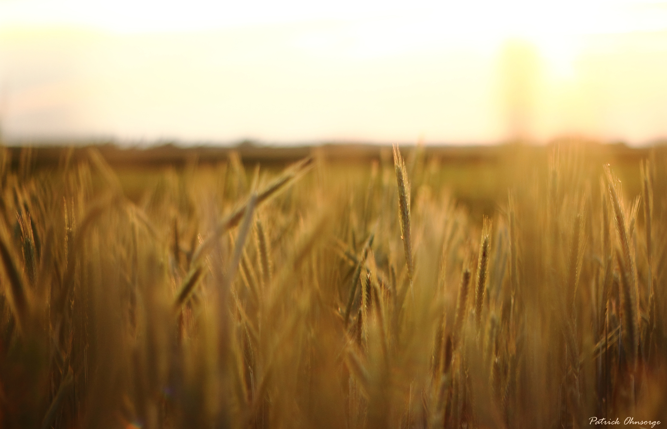
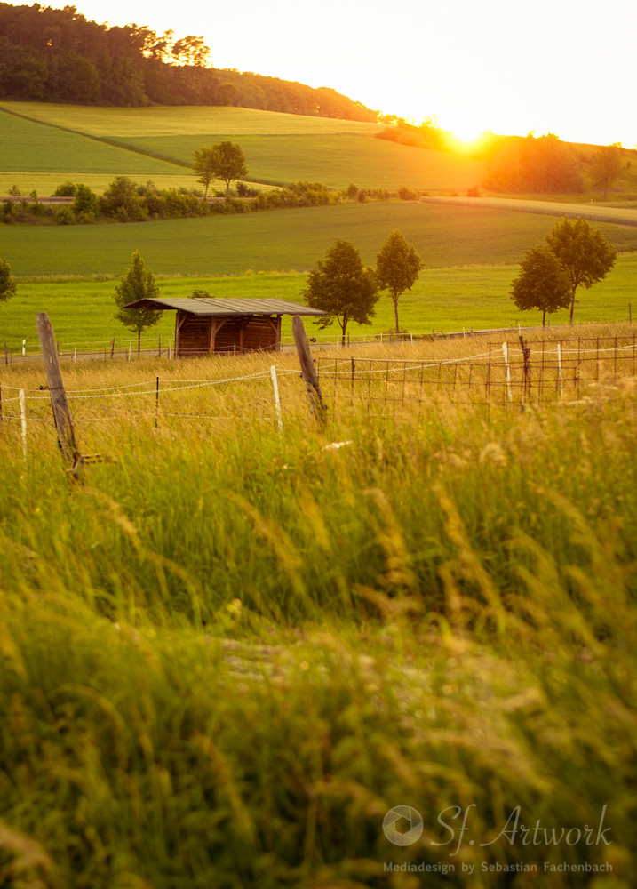
Kornfeld in der Abendsonne
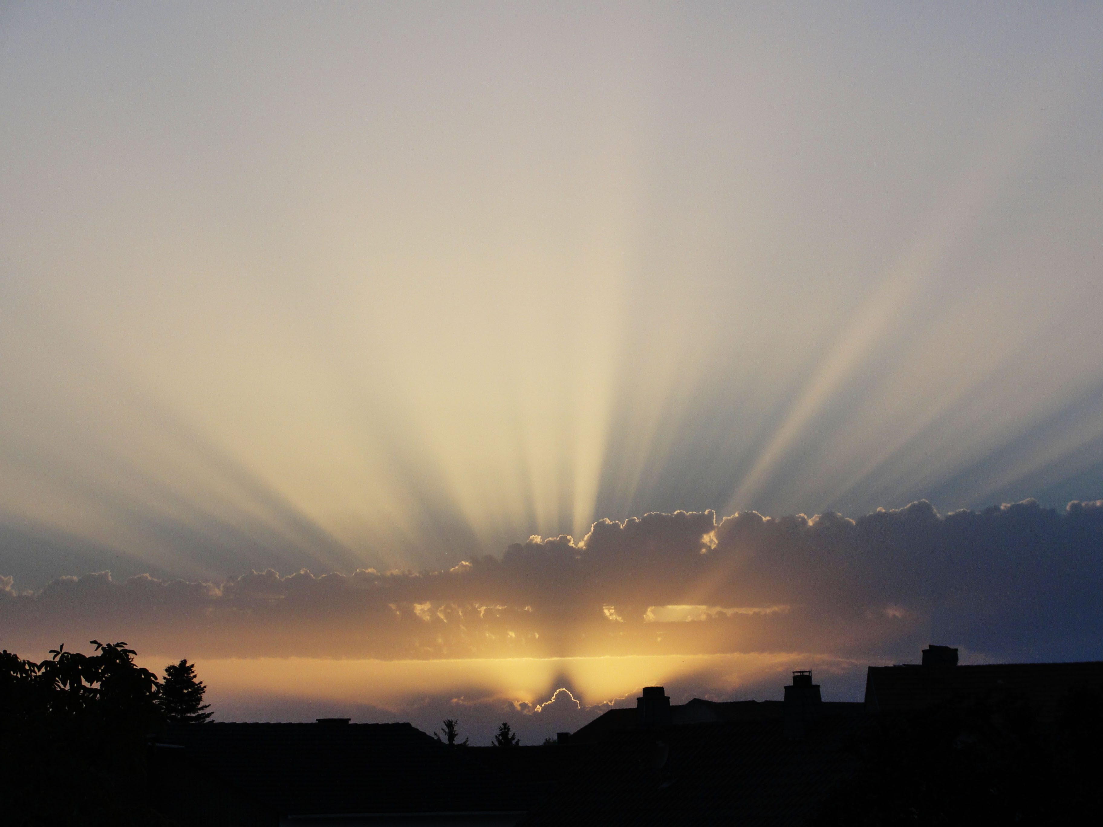
Bechenheim Sunset
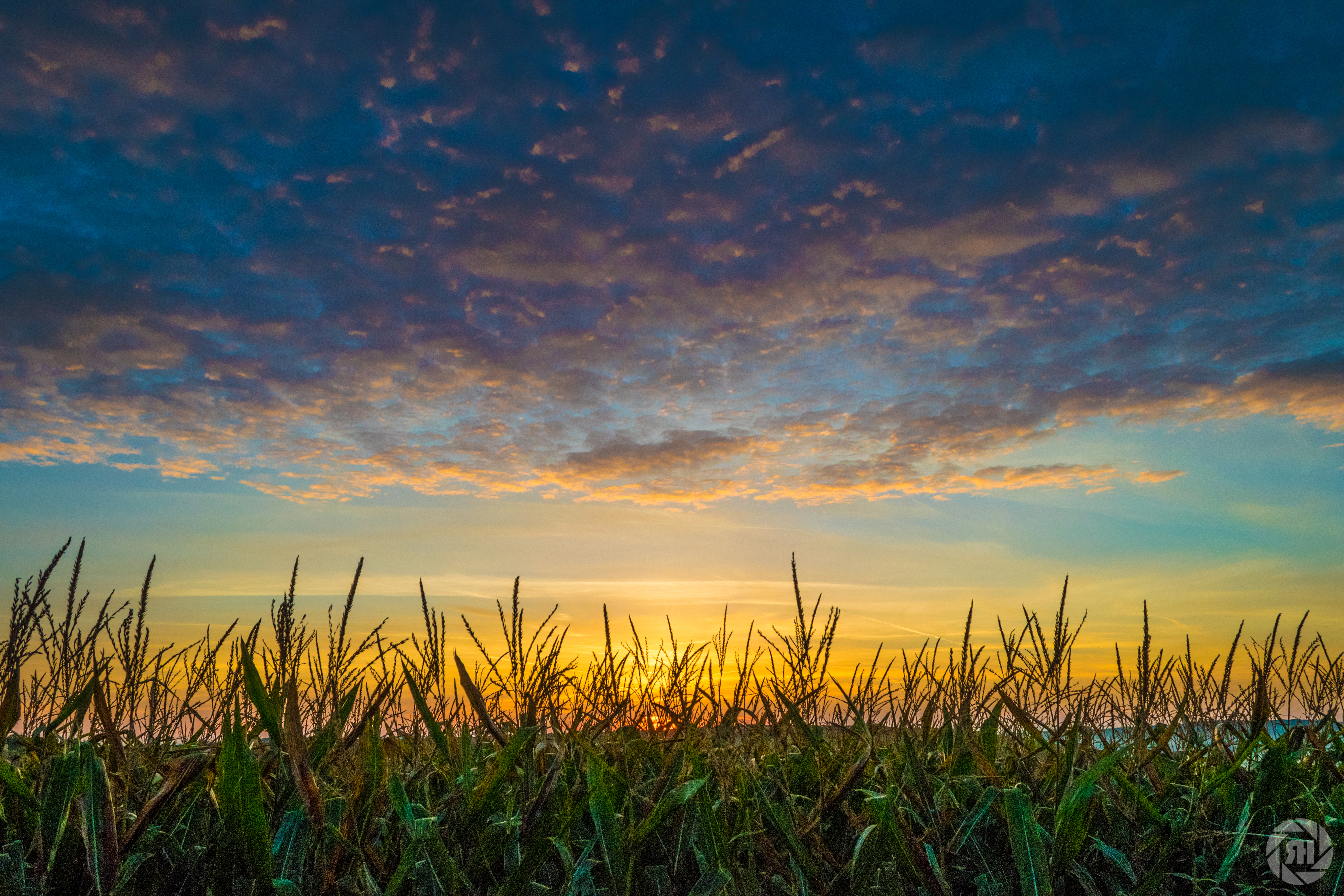
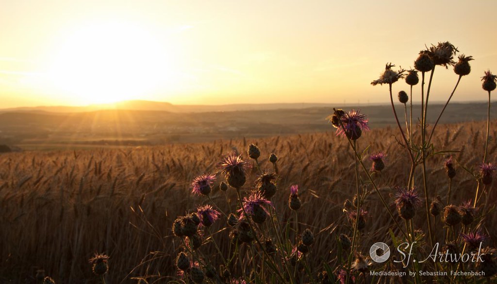
Maisfeld im Sonnenaufgang
Kerzenheim Sunset (25.05.2012)
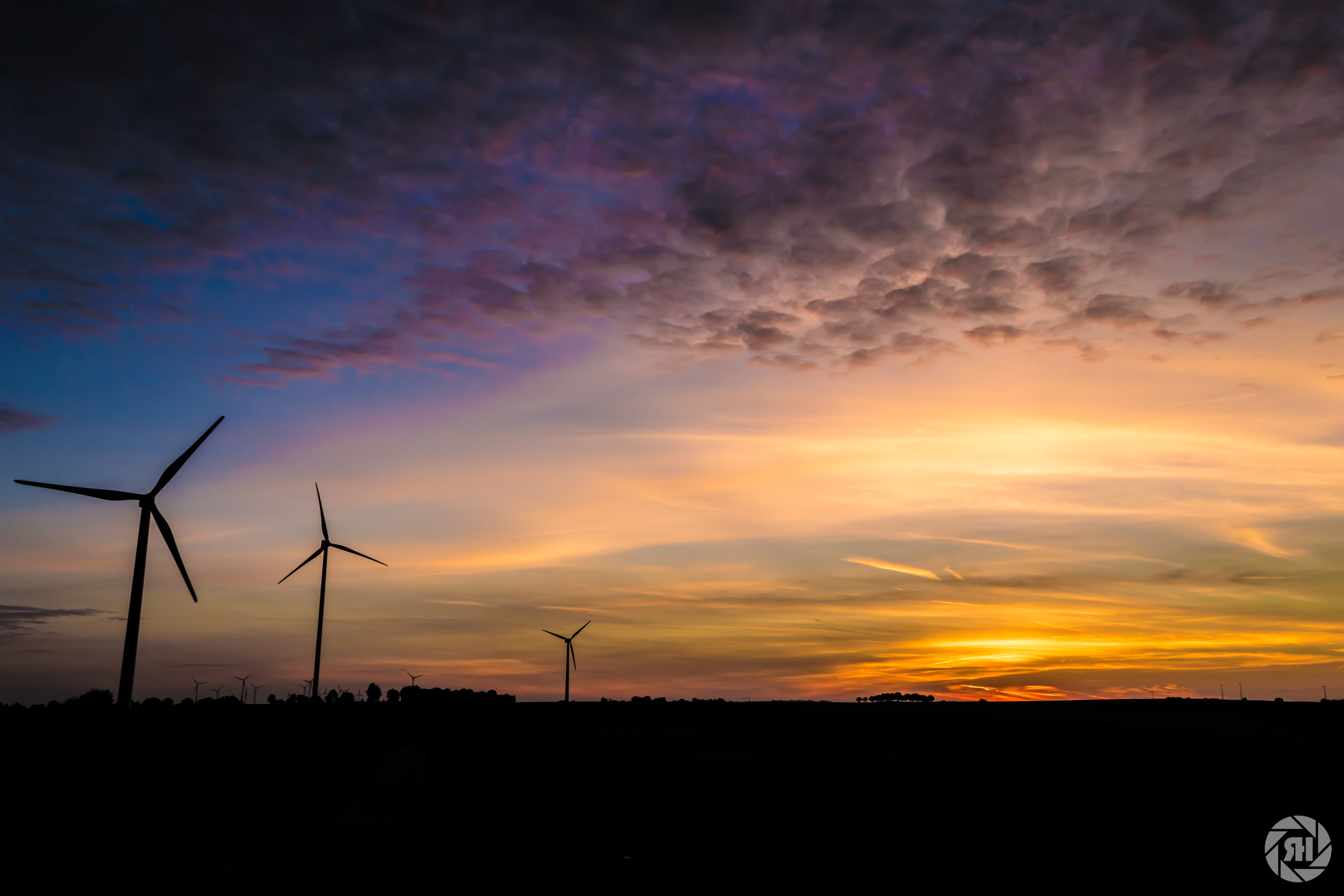
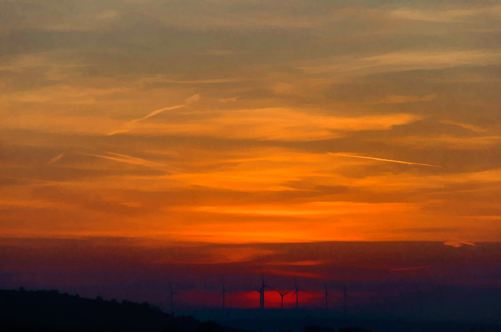
Windräder bei Sonneaufgang
20140125_Wanderung_Donnersberg_51.jpg
Sonnenuntergang in Stauf
Sonnenuntergang hinter dem Donnersberg
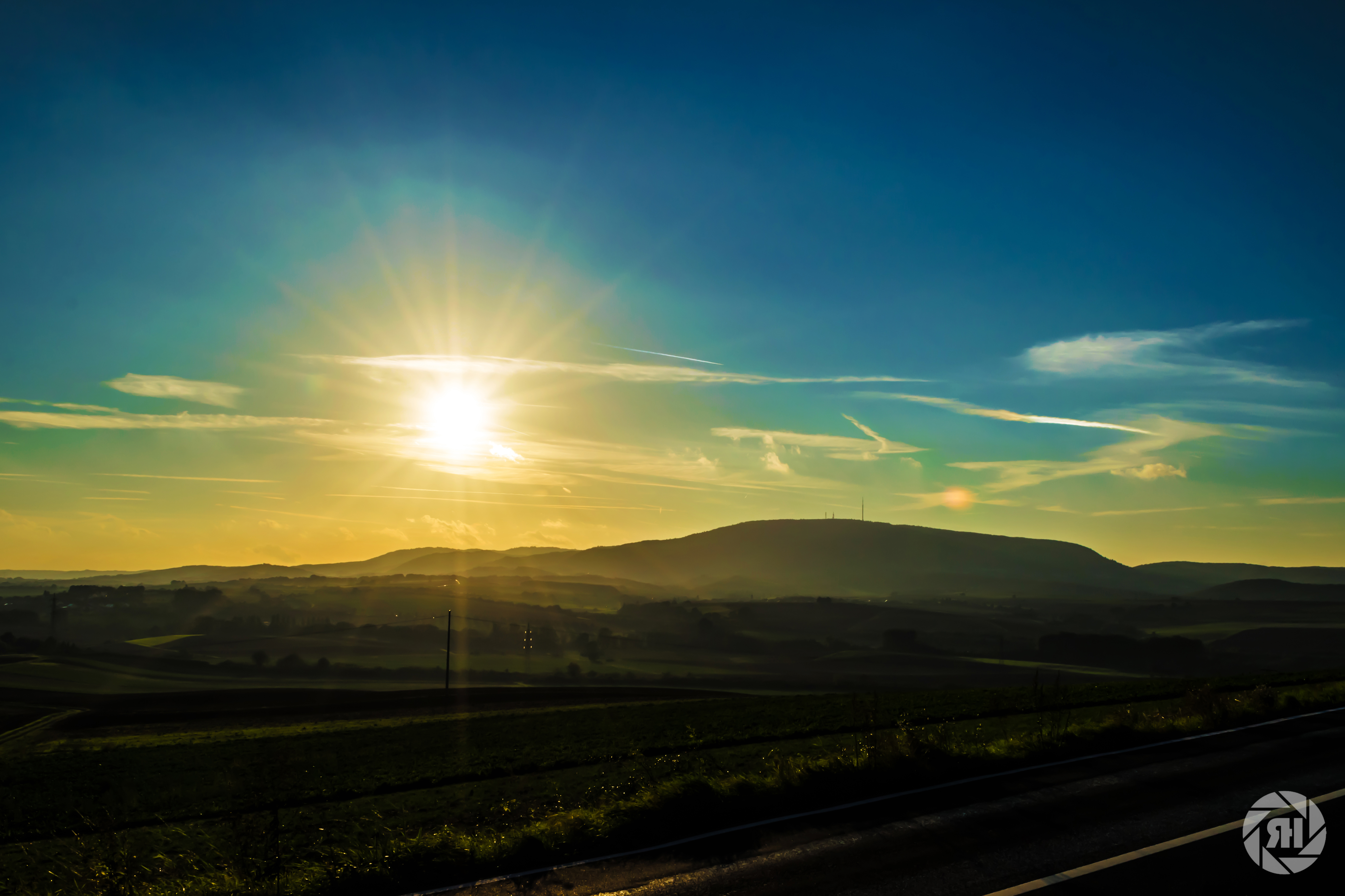
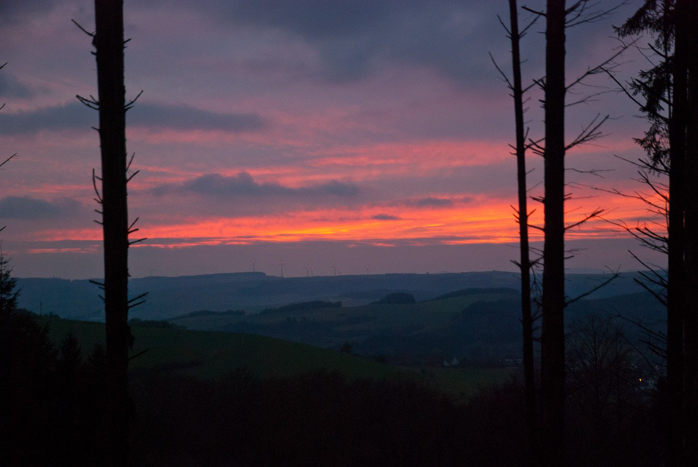
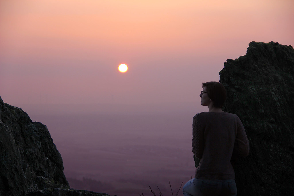
Der Donnersberg
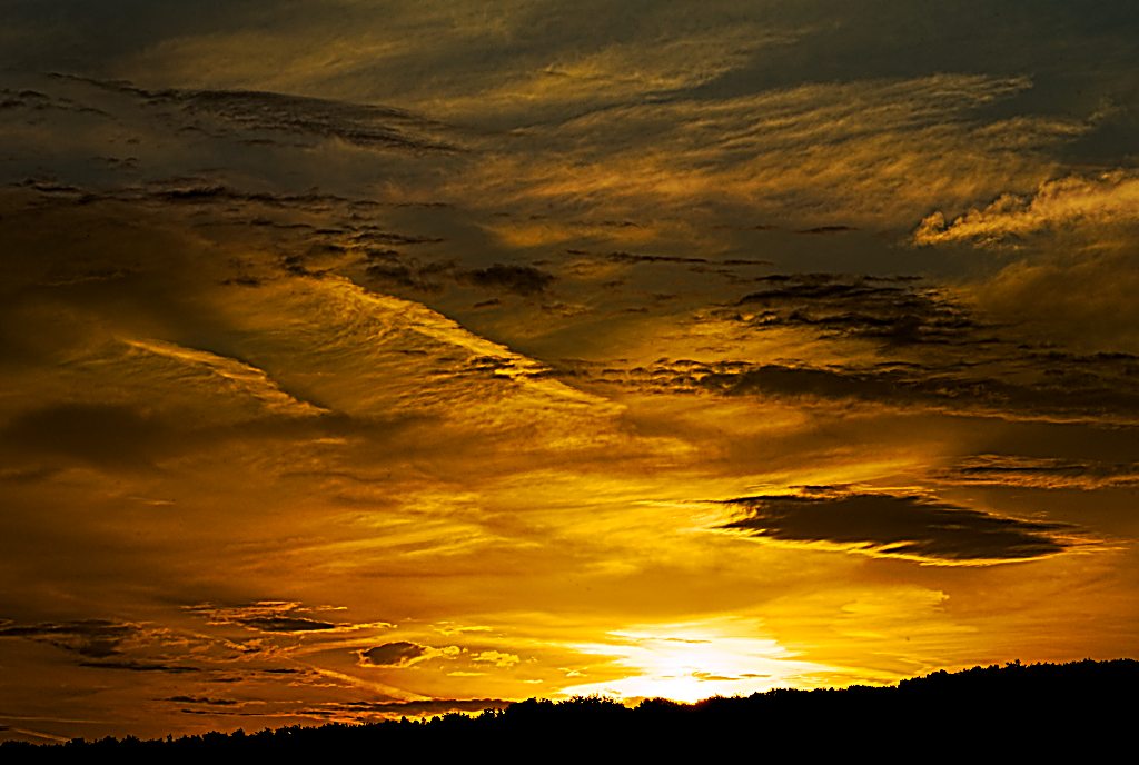
painting the sky

Heiligblut-Turm Alzey-Weinheim

First Lightroom 4 Edit

Heiligblut-Turm Alzey-Weinheim
End of the day...
morning hues
Donnersbergkreis, Germany Map
Search another place
Places in Donnersbergkreis, Germany
Rockenhausen, Germany
Dreisen, Germany
Waldgrehweiler, Germany
Bayerfeld-Steckweiler, Germany
Ruppertsecken, Germany
Unkenbach, Germany
Jakobsweiler, Germany
Standenbühl, Germany
Near Places
Jakobsweiler, Germany
Kirchstraße 6, Jakobsweiler, Germany
Pferdezuchtverband Rheinland-Pfalz Saar e.V., Am Fohlenhof 1, Standenbühl, Germany
Standenbühl, Germany
Kaiserstraße 34, Standenbühl, Germany
Hollidahof 1, Dreisen, Germany
Marienthal, Rockenhausen, Germany
Rockenhauser Str. 27, Rockenhausen, Germany
Schwarzengraben 2, Ruppertsecken, Germany
Dreisen, Germany
Ruppertsecken, Germany
Kirchheimbolanden, Germany
Neue Allee 15, Kirchheimbolanden, Germany
Lützelbachstraße 8A, Imsbach, Germany
Imsbach, Germany
Nieder-Wiesen, Germany
Rockenhausen, Germany
Glockenstraße 9, Bayerfeld-Steckweiler, Germany
Schmalfelderhof, Bayerfeld-Steckweiler, Germany
Bayerfeld-Steckweiler, Germany
Recent Searches
- Sunrise Sunset Times of Horton in Ribblesdale, Settle BD24 0HB, UK
- Sunrise Sunset Times of Rojo Ct, Atascadero, CA, USA
- Sunrise Sunset Times of Lumagwas Diversified Farmers Multi-Purpose Cooperative, Lumagwas, Adtuyon, RV32+MH7, Pangantucan, Bu
- Sunrise Sunset Times of 12 Hutchinson Woods Dr, Fletcher, NC, USA
- Sunrise Sunset Times of Santa Maria del Mar, Peru
- Sunrise Sunset Times of Holloway Ave, San Francisco, CA, USA
- Sunrise Sunset Times of 1-chōme-1-5 Asahi, Utsunomiya, Tochigi -, Japan
- Sunrise Sunset Times of Bist Hazari, Afghanistan
- Sunrise Sunset Times of 82- D Rd, Captain Cook, HI, USA
- Sunrise Sunset Times of Harlow CM20 2PR, UK