Queen Anne's County, Maryland, USA Sonnenaufgang Sonnenuntergang Zeiten
Location: USA > Maryland >
Zeitzone:
America/New_York
Ortszeit:
2024-04-17 23:20:28
Länge:
-76.1319953
Breite:
39.0263572
Sonnenaufgang Heute:
06:22:06 AM
Sonnenuntergang Heute:
07:45:14 PM
Tageslänge heute:
13h 23m 8s
Sonnenaufgang morgen:
06:20:42 AM
Sonnenuntergang Morgen:
07:46:13 PM
Tageslänge von morgen:
13h 25m 31s
Alle Termine anzeigen
| Datum | Sonnenaufgang | Sonnenuntergang | Tageslänge |
|---|---|---|---|
| 2024-01-01 | 07:23:28 AM | 04:53:06 PM | 9h 29m 38s |
| 2024-01-02 | 07:23:34 AM | 04:53:56 PM | 9h 30m 22s |
| 2024-01-03 | 07:23:38 AM | 04:54:47 PM | 9h 31m 9s |
| 2024-01-04 | 07:23:39 AM | 04:55:40 PM | 9h 32m 1s |
| 2024-01-05 | 07:23:39 AM | 04:56:34 PM | 9h 32m 55s |
| 2024-01-06 | 07:23:36 AM | 04:57:29 PM | 9h 33m 53s |
| 2024-01-07 | 07:23:32 AM | 04:58:25 PM | 9h 34m 53s |
| 2024-01-08 | 07:23:25 AM | 04:59:23 PM | 9h 35m 58s |
| 2024-01-09 | 07:23:15 AM | 05:00:21 PM | 9h 37m 6s |
| 2024-01-10 | 07:23:04 AM | 05:01:21 PM | 9h 38m 17s |
| 2024-01-11 | 07:22:51 AM | 05:02:22 PM | 9h 39m 31s |
| 2024-01-12 | 07:22:35 AM | 05:03:23 PM | 9h 40m 48s |
| 2024-01-13 | 07:22:18 AM | 05:04:25 PM | 9h 42m 7s |
| 2024-01-14 | 07:21:58 AM | 05:05:29 PM | 9h 43m 31s |
| 2024-01-15 | 07:21:36 AM | 05:06:33 PM | 9h 44m 57s |
| 2024-01-16 | 07:21:12 AM | 05:07:37 PM | 9h 46m 25s |
| 2024-01-17 | 07:20:46 AM | 05:08:43 PM | 9h 47m 57s |
| 2024-01-18 | 07:20:18 AM | 05:09:49 PM | 9h 49m 31s |
| 2024-01-19 | 07:19:48 AM | 05:10:55 PM | 9h 51m 7s |
| 2024-01-20 | 07:19:16 AM | 05:12:02 PM | 9h 52m 46s |
| 2024-01-21 | 07:18:42 AM | 05:13:10 PM | 9h 54m 28s |
| 2024-01-22 | 07:18:06 AM | 05:14:17 PM | 9h 56m 11s |
| 2024-01-23 | 07:17:28 AM | 05:15:26 PM | 9h 57m 58s |
| 2024-01-24 | 07:16:48 AM | 05:16:34 PM | 9h 59m 46s |
| 2024-01-25 | 07:16:07 AM | 05:17:43 PM | 10h 1m 36s |
| 2024-01-26 | 07:15:23 AM | 05:18:53 PM | 10h 3m 30s |
| 2024-01-27 | 07:14:38 AM | 05:20:02 PM | 10h 5m 24s |
| 2024-01-28 | 07:13:51 AM | 05:21:11 PM | 10h 7m 20s |
| 2024-01-29 | 07:13:02 AM | 05:22:21 PM | 10h 9m 19s |
| 2024-01-30 | 07:12:11 AM | 05:23:31 PM | 10h 11m 20s |
| 2024-01-31 | 07:11:19 AM | 05:24:41 PM | 10h 13m 22s |
| 2024-02-01 | 07:10:25 AM | 05:25:51 PM | 10h 15m 26s |
| 2024-02-02 | 07:09:29 AM | 05:27:01 PM | 10h 17m 32s |
| 2024-02-03 | 07:08:32 AM | 05:28:11 PM | 10h 19m 39s |
| 2024-02-04 | 07:07:33 AM | 05:29:20 PM | 10h 21m 47s |
| 2024-02-05 | 07:06:33 AM | 05:30:30 PM | 10h 23m 57s |
| 2024-02-06 | 07:05:31 AM | 05:31:40 PM | 10h 26m 9s |
| 2024-02-07 | 07:04:28 AM | 05:32:49 PM | 10h 28m 21s |
| 2024-02-08 | 07:03:23 AM | 05:33:59 PM | 10h 30m 36s |
| 2024-02-09 | 07:02:17 AM | 05:35:08 PM | 10h 32m 51s |
| 2024-02-10 | 07:01:09 AM | 05:36:17 PM | 10h 35m 8s |
| 2024-02-11 | 07:00:00 AM | 05:37:26 PM | 10h 37m 26s |
| 2024-02-12 | 06:58:50 AM | 05:38:34 PM | 10h 39m 44s |
| 2024-02-13 | 06:57:39 AM | 05:39:43 PM | 10h 42m 4s |
| 2024-02-14 | 06:56:26 AM | 05:40:51 PM | 10h 44m 25s |
| 2024-02-15 | 06:55:12 AM | 05:41:59 PM | 10h 46m 47s |
| 2024-02-16 | 06:53:57 AM | 05:43:06 PM | 10h 49m 9s |
| 2024-02-17 | 06:52:41 AM | 05:44:14 PM | 10h 51m 33s |
| 2024-02-18 | 06:51:24 AM | 05:45:21 PM | 10h 53m 57s |
| 2024-02-19 | 06:50:06 AM | 05:46:27 PM | 10h 56m 21s |
| 2024-02-20 | 06:48:46 AM | 05:47:34 PM | 10h 58m 48s |
| 2024-02-21 | 06:47:26 AM | 05:48:40 PM | 11h 1m 14s |
| 2024-02-22 | 06:46:05 AM | 05:49:46 PM | 11h 3m 41s |
| 2024-02-23 | 06:44:43 AM | 05:50:51 PM | 11h 6m 8s |
| 2024-02-24 | 06:43:20 AM | 05:51:56 PM | 11h 8m 36s |
| 2024-02-25 | 06:41:56 AM | 05:53:01 PM | 11h 11m 5s |
| 2024-02-26 | 06:40:31 AM | 05:54:06 PM | 11h 13m 35s |
| 2024-02-27 | 06:39:05 AM | 05:55:10 PM | 11h 16m 5s |
| 2024-02-28 | 06:37:39 AM | 05:56:14 PM | 11h 18m 35s |
| 2024-02-29 | 06:36:12 AM | 05:57:18 PM | 11h 21m 6s |
| 2024-03-01 | 06:34:45 AM | 05:58:21 PM | 11h 23m 36s |
| 2024-03-02 | 06:33:16 AM | 05:59:24 PM | 11h 26m 8s |
| 2024-03-03 | 06:31:47 AM | 06:00:27 PM | 11h 28m 40s |
| 2024-03-04 | 06:30:18 AM | 06:01:29 PM | 11h 31m 11s |
| 2024-03-05 | 06:28:48 AM | 06:02:31 PM | 11h 33m 43s |
| 2024-03-06 | 06:27:17 AM | 06:03:33 PM | 11h 36m 16s |
| 2024-03-07 | 06:25:46 AM | 06:04:35 PM | 11h 38m 49s |
| 2024-03-08 | 06:24:14 AM | 06:05:36 PM | 11h 41m 22s |
| 2024-03-09 | 06:22:42 AM | 06:06:38 PM | 11h 43m 56s |
| 2024-03-10 | 07:21:14 AM | 07:07:36 PM | 11h 46m 22s |
| 2024-03-11 | 07:19:41 AM | 07:08:37 PM | 11h 48m 56s |
| 2024-03-12 | 07:18:08 AM | 07:09:37 PM | 11h 51m 29s |
| 2024-03-13 | 07:16:35 AM | 07:10:37 PM | 11h 54m 2s |
| 2024-03-14 | 07:15:01 AM | 07:11:37 PM | 11h 56m 36s |
| 2024-03-15 | 07:13:27 AM | 07:12:37 PM | 11h 59m 10s |
| 2024-03-16 | 07:11:53 AM | 07:13:37 PM | 12h 1m 44s |
| 2024-03-17 | 07:10:19 AM | 07:14:36 PM | 12h 4m 17s |
| 2024-03-18 | 07:08:44 AM | 07:15:36 PM | 12h 6m 52s |
| 2024-03-19 | 07:07:10 AM | 07:16:35 PM | 12h 9m 25s |
| 2024-03-20 | 07:05:35 AM | 07:17:34 PM | 12h 11m 59s |
| 2024-03-21 | 07:04:00 AM | 07:18:33 PM | 12h 14m 33s |
| 2024-03-22 | 07:02:25 AM | 07:19:31 PM | 12h 17m 6s |
| 2024-03-23 | 07:00:51 AM | 07:20:30 PM | 12h 19m 39s |
| 2024-03-24 | 06:59:16 AM | 07:21:29 PM | 12h 22m 13s |
| 2024-03-25 | 06:57:41 AM | 07:22:27 PM | 12h 24m 46s |
| 2024-03-26 | 06:56:06 AM | 07:23:26 PM | 12h 27m 20s |
| 2024-03-27 | 06:54:32 AM | 07:24:24 PM | 12h 29m 52s |
| 2024-03-28 | 06:52:58 AM | 07:25:22 PM | 12h 32m 24s |
| 2024-03-29 | 06:51:23 AM | 07:26:20 PM | 12h 34m 57s |
| 2024-03-30 | 06:49:50 AM | 07:27:18 PM | 12h 37m 28s |
| 2024-03-31 | 06:48:16 AM | 07:28:17 PM | 12h 40m 1s |
| 2024-04-01 | 06:46:42 AM | 07:29:15 PM | 12h 42m 33s |
| 2024-04-02 | 06:45:09 AM | 07:30:13 PM | 12h 45m 4s |
| 2024-04-03 | 06:43:36 AM | 07:31:11 PM | 12h 47m 35s |
| 2024-04-04 | 06:42:04 AM | 07:32:09 PM | 12h 50m 5s |
| 2024-04-05 | 06:40:32 AM | 07:33:07 PM | 12h 52m 35s |
| 2024-04-06 | 06:39:00 AM | 07:34:05 PM | 12h 55m 5s |
| 2024-04-07 | 06:37:29 AM | 07:35:03 PM | 12h 57m 34s |
| 2024-04-08 | 06:35:58 AM | 07:36:01 PM | 13h 0m 3s |
| 2024-04-09 | 06:34:28 AM | 07:36:59 PM | 13h 2m 31s |
| 2024-04-10 | 06:32:58 AM | 07:37:57 PM | 13h 4m 59s |
| 2024-04-11 | 06:31:29 AM | 07:38:56 PM | 13h 7m 27s |
| 2024-04-12 | 06:30:01 AM | 07:39:54 PM | 13h 9m 53s |
| 2024-04-13 | 06:28:33 AM | 07:40:52 PM | 13h 12m 19s |
| 2024-04-14 | 06:27:06 AM | 07:41:50 PM | 13h 14m 44s |
| 2024-04-15 | 06:25:39 AM | 07:42:49 PM | 13h 17m 10s |
| 2024-04-16 | 06:24:14 AM | 07:43:47 PM | 13h 19m 33s |
| 2024-04-17 | 06:22:48 AM | 07:44:45 PM | 13h 21m 57s |
| 2024-04-18 | 06:21:24 AM | 07:45:44 PM | 13h 24m 20s |
| 2024-04-19 | 06:20:01 AM | 07:46:42 PM | 13h 26m 41s |
| 2024-04-20 | 06:18:38 AM | 07:47:40 PM | 13h 29m 2s |
| 2024-04-21 | 06:17:17 AM | 07:48:39 PM | 13h 31m 22s |
| 2024-04-22 | 06:15:56 AM | 07:49:37 PM | 13h 33m 41s |
| 2024-04-23 | 06:14:36 AM | 07:50:36 PM | 13h 36m 0s |
| 2024-04-24 | 06:13:17 AM | 07:51:34 PM | 13h 38m 17s |
| 2024-04-25 | 06:11:59 AM | 07:52:33 PM | 13h 40m 34s |
| 2024-04-26 | 06:10:42 AM | 07:53:31 PM | 13h 42m 49s |
| 2024-04-27 | 06:09:26 AM | 07:54:29 PM | 13h 45m 3s |
| 2024-04-28 | 06:08:12 AM | 07:55:28 PM | 13h 47m 16s |
| 2024-04-29 | 06:06:58 AM | 07:56:26 PM | 13h 49m 28s |
| 2024-04-30 | 06:05:46 AM | 07:57:24 PM | 13h 51m 38s |
| 2024-05-01 | 06:04:35 AM | 07:58:22 PM | 13h 53m 47s |
| 2024-05-02 | 06:03:25 AM | 07:59:20 PM | 13h 55m 55s |
| 2024-05-03 | 06:02:16 AM | 08:00:17 PM | 13h 58m 1s |
| 2024-05-04 | 06:01:08 AM | 08:01:15 PM | 14h 0m 7s |
| 2024-05-05 | 06:00:02 AM | 08:02:12 PM | 14h 2m 10s |
| 2024-05-06 | 05:58:57 AM | 08:03:10 PM | 14h 4m 13s |
| 2024-05-07 | 05:57:54 AM | 08:04:07 PM | 14h 6m 13s |
| 2024-05-08 | 05:56:52 AM | 08:05:03 PM | 14h 8m 11s |
| 2024-05-09 | 05:55:51 AM | 08:06:00 PM | 14h 10m 9s |
| 2024-05-10 | 05:54:52 AM | 08:06:56 PM | 14h 12m 4s |
| 2024-05-11 | 05:53:54 AM | 08:07:52 PM | 14h 13m 58s |
| 2024-05-12 | 05:52:58 AM | 08:08:47 PM | 14h 15m 49s |
| 2024-05-13 | 05:52:03 AM | 08:09:42 PM | 14h 17m 39s |
| 2024-05-14 | 05:51:10 AM | 08:10:37 PM | 14h 19m 27s |
| 2024-05-15 | 05:50:18 AM | 08:11:31 PM | 14h 21m 13s |
| 2024-05-16 | 05:49:28 AM | 08:12:25 PM | 14h 22m 57s |
| 2024-05-17 | 05:48:40 AM | 08:13:18 PM | 14h 24m 38s |
| 2024-05-18 | 05:47:53 AM | 08:14:11 PM | 14h 26m 18s |
| 2024-05-19 | 05:47:08 AM | 08:15:03 PM | 14h 27m 55s |
| 2024-05-20 | 05:46:25 AM | 08:15:54 PM | 14h 29m 29s |
| 2024-05-21 | 05:45:43 AM | 08:16:45 PM | 14h 31m 2s |
| 2024-05-22 | 05:45:03 AM | 08:17:35 PM | 14h 32m 32s |
| 2024-05-23 | 05:44:25 AM | 08:18:25 PM | 14h 34m 0s |
| 2024-05-24 | 05:43:48 AM | 08:19:13 PM | 14h 35m 25s |
| 2024-05-25 | 05:43:14 AM | 08:20:01 PM | 14h 36m 47s |
| 2024-05-26 | 05:42:41 AM | 08:20:48 PM | 14h 38m 7s |
| 2024-05-27 | 05:42:10 AM | 08:21:34 PM | 14h 39m 24s |
| 2024-05-28 | 05:41:41 AM | 08:22:19 PM | 14h 40m 38s |
| 2024-05-29 | 05:41:14 AM | 08:23:03 PM | 14h 41m 49s |
| 2024-05-30 | 05:40:48 AM | 08:23:46 PM | 14h 42m 58s |
| 2024-05-31 | 05:40:24 AM | 08:24:28 PM | 14h 44m 4s |
| 2024-06-01 | 05:40:03 AM | 08:25:09 PM | 14h 45m 6s |
| 2024-06-02 | 05:39:43 AM | 08:25:49 PM | 14h 46m 6s |
| 2024-06-03 | 05:39:25 AM | 08:26:28 PM | 14h 47m 3s |
| 2024-06-04 | 05:39:09 AM | 08:27:05 PM | 14h 47m 56s |
| 2024-06-05 | 05:38:55 AM | 08:27:41 PM | 14h 48m 46s |
| 2024-06-06 | 05:38:42 AM | 08:28:16 PM | 14h 49m 34s |
| 2024-06-07 | 05:38:32 AM | 08:28:49 PM | 14h 50m 17s |
| 2024-06-08 | 05:38:23 AM | 08:29:22 PM | 14h 50m 59s |
| 2024-06-09 | 05:38:16 AM | 08:29:52 PM | 14h 51m 36s |
| 2024-06-10 | 05:38:12 AM | 08:30:22 PM | 14h 52m 10s |
| 2024-06-11 | 05:38:09 AM | 08:30:49 PM | 14h 52m 40s |
| 2024-06-12 | 05:38:07 AM | 08:31:16 PM | 14h 53m 9s |
| 2024-06-13 | 05:38:08 AM | 08:31:40 PM | 14h 53m 32s |
| 2024-06-14 | 05:38:11 AM | 08:32:04 PM | 14h 53m 53s |
| 2024-06-15 | 05:38:15 AM | 08:32:25 PM | 14h 54m 10s |
| 2024-06-16 | 05:38:21 AM | 08:32:45 PM | 14h 54m 24s |
| 2024-06-17 | 05:38:29 AM | 08:33:03 PM | 14h 54m 34s |
| 2024-06-18 | 05:38:39 AM | 08:33:20 PM | 14h 54m 41s |
| 2024-06-19 | 05:38:50 AM | 08:33:34 PM | 14h 54m 44s |
| 2024-06-20 | 05:39:03 AM | 08:33:47 PM | 14h 54m 44s |
| 2024-06-21 | 05:39:18 AM | 08:33:59 PM | 14h 54m 41s |
| 2024-06-22 | 05:39:34 AM | 08:34:08 PM | 14h 54m 34s |
| 2024-06-23 | 05:39:53 AM | 08:34:16 PM | 14h 54m 23s |
| 2024-06-24 | 05:40:12 AM | 08:34:22 PM | 14h 54m 10s |
| 2024-06-25 | 05:40:33 AM | 08:34:26 PM | 14h 53m 53s |
| 2024-06-26 | 05:40:56 AM | 08:34:28 PM | 14h 53m 32s |
| 2024-06-27 | 05:41:21 AM | 08:34:28 PM | 14h 53m 7s |
| 2024-06-28 | 05:41:46 AM | 08:34:26 PM | 14h 52m 40s |
| 2024-06-29 | 05:42:14 AM | 08:34:23 PM | 14h 52m 9s |
| 2024-06-30 | 05:42:42 AM | 08:34:17 PM | 14h 51m 35s |
| 2024-07-01 | 05:43:12 AM | 08:34:10 PM | 14h 50m 58s |
| 2024-07-02 | 05:43:44 AM | 08:34:00 PM | 14h 50m 16s |
| 2024-07-03 | 05:44:16 AM | 08:33:49 PM | 14h 49m 33s |
| 2024-07-04 | 05:44:50 AM | 08:33:36 PM | 14h 48m 46s |
| 2024-07-05 | 05:45:25 AM | 08:33:21 PM | 14h 47m 56s |
| 2024-07-06 | 05:46:01 AM | 08:33:04 PM | 14h 47m 3s |
| 2024-07-07 | 05:46:39 AM | 08:32:45 PM | 14h 46m 6s |
| 2024-07-08 | 05:47:17 AM | 08:32:24 PM | 14h 45m 7s |
| 2024-07-09 | 05:47:57 AM | 08:32:01 PM | 14h 44m 4s |
| 2024-07-10 | 05:48:38 AM | 08:31:37 PM | 14h 42m 59s |
| 2024-07-11 | 05:49:19 AM | 08:31:10 PM | 14h 41m 51s |
| 2024-07-12 | 05:50:02 AM | 08:30:42 PM | 14h 40m 40s |
| 2024-07-13 | 05:50:45 AM | 08:30:11 PM | 14h 39m 26s |
| 2024-07-14 | 05:51:29 AM | 08:29:39 PM | 14h 38m 10s |
| 2024-07-15 | 05:52:14 AM | 08:29:05 PM | 14h 36m 51s |
| 2024-07-16 | 05:53:00 AM | 08:28:29 PM | 14h 35m 29s |
| 2024-07-17 | 05:53:47 AM | 08:27:52 PM | 14h 34m 5s |
| 2024-07-18 | 05:54:34 AM | 08:27:12 PM | 14h 32m 38s |
| 2024-07-19 | 05:55:22 AM | 08:26:31 PM | 14h 31m 9s |
| 2024-07-20 | 05:56:11 AM | 08:25:48 PM | 14h 29m 37s |
| 2024-07-21 | 05:57:00 AM | 08:25:03 PM | 14h 28m 3s |
| 2024-07-22 | 05:57:50 AM | 08:24:17 PM | 14h 26m 27s |
| 2024-07-23 | 05:58:40 AM | 08:23:29 PM | 14h 24m 49s |
| 2024-07-24 | 05:59:31 AM | 08:22:39 PM | 14h 23m 8s |
| 2024-07-25 | 06:00:22 AM | 08:21:47 PM | 14h 21m 25s |
| 2024-07-26 | 06:01:14 AM | 08:20:54 PM | 14h 19m 40s |
| 2024-07-27 | 06:02:06 AM | 08:20:00 PM | 14h 17m 54s |
| 2024-07-28 | 06:02:58 AM | 08:19:04 PM | 14h 16m 6s |
| 2024-07-29 | 06:03:51 AM | 08:18:06 PM | 14h 14m 15s |
| 2024-07-30 | 06:04:44 AM | 08:17:07 PM | 14h 12m 23s |
| 2024-07-31 | 06:05:37 AM | 08:16:06 PM | 14h 10m 29s |
| 2024-08-01 | 06:06:30 AM | 08:15:04 PM | 14h 8m 34s |
| 2024-08-02 | 06:07:24 AM | 08:14:00 PM | 14h 6m 36s |
| 2024-08-03 | 06:08:18 AM | 08:12:55 PM | 14h 4m 37s |
| 2024-08-04 | 06:09:12 AM | 08:11:49 PM | 14h 2m 37s |
| 2024-08-05 | 06:10:06 AM | 08:10:41 PM | 14h 0m 35s |
| 2024-08-06 | 06:11:00 AM | 08:09:32 PM | 13h 58m 32s |
| 2024-08-07 | 06:11:55 AM | 08:08:21 PM | 13h 56m 26s |
| 2024-08-08 | 06:12:49 AM | 08:07:10 PM | 13h 54m 21s |
| 2024-08-09 | 06:13:44 AM | 08:05:57 PM | 13h 52m 13s |
| 2024-08-10 | 06:14:39 AM | 08:04:43 PM | 13h 50m 4s |
| 2024-08-11 | 06:15:33 AM | 08:03:28 PM | 13h 47m 55s |
| 2024-08-12 | 06:16:28 AM | 08:02:12 PM | 13h 45m 44s |
| 2024-08-13 | 06:17:23 AM | 08:00:54 PM | 13h 43m 31s |
| 2024-08-14 | 06:18:18 AM | 07:59:36 PM | 13h 41m 18s |
| 2024-08-15 | 06:19:12 AM | 07:58:16 PM | 13h 39m 4s |
| 2024-08-16 | 06:20:07 AM | 07:56:56 PM | 13h 36m 49s |
| 2024-08-17 | 06:21:02 AM | 07:55:34 PM | 13h 34m 32s |
| 2024-08-18 | 06:21:56 AM | 07:54:12 PM | 13h 32m 16s |
| 2024-08-19 | 06:22:51 AM | 07:52:48 PM | 13h 29m 57s |
| 2024-08-20 | 06:23:45 AM | 07:51:24 PM | 13h 27m 39s |
| 2024-08-21 | 06:24:40 AM | 07:49:59 PM | 13h 25m 19s |
| 2024-08-22 | 06:25:34 AM | 07:48:33 PM | 13h 22m 59s |
| 2024-08-23 | 06:26:29 AM | 07:47:06 PM | 13h 20m 37s |
| 2024-08-24 | 06:27:23 AM | 07:45:39 PM | 13h 18m 16s |
| 2024-08-25 | 06:28:17 AM | 07:44:11 PM | 13h 15m 54s |
| 2024-08-26 | 06:29:11 AM | 07:42:42 PM | 13h 13m 31s |
| 2024-08-27 | 06:30:06 AM | 07:41:12 PM | 13h 11m 6s |
| 2024-08-28 | 06:31:00 AM | 07:39:42 PM | 13h 8m 42s |
| 2024-08-29 | 06:31:54 AM | 07:38:11 PM | 13h 6m 17s |
| 2024-08-30 | 06:32:48 AM | 07:36:39 PM | 13h 3m 51s |
| 2024-08-31 | 06:33:41 AM | 07:35:07 PM | 13h 1m 26s |
| 2024-09-01 | 06:34:35 AM | 07:33:35 PM | 12h 59m 0s |
| 2024-09-02 | 06:35:29 AM | 07:32:02 PM | 12h 56m 33s |
| 2024-09-03 | 06:36:23 AM | 07:30:28 PM | 12h 54m 5s |
| 2024-09-04 | 06:37:17 AM | 07:28:54 PM | 12h 51m 37s |
| 2024-09-05 | 06:38:10 AM | 07:27:20 PM | 12h 49m 10s |
| 2024-09-06 | 06:39:04 AM | 07:25:45 PM | 12h 46m 41s |
| 2024-09-07 | 06:39:58 AM | 07:24:10 PM | 12h 44m 12s |
| 2024-09-08 | 06:40:51 AM | 07:22:35 PM | 12h 41m 44s |
| 2024-09-09 | 06:41:45 AM | 07:20:59 PM | 12h 39m 14s |
| 2024-09-10 | 06:42:39 AM | 07:19:23 PM | 12h 36m 44s |
| 2024-09-11 | 06:43:32 AM | 07:17:47 PM | 12h 34m 15s |
| 2024-09-12 | 06:44:26 AM | 07:16:11 PM | 12h 31m 45s |
| 2024-09-13 | 06:45:20 AM | 07:14:34 PM | 12h 29m 14s |
| 2024-09-14 | 06:46:14 AM | 07:12:57 PM | 12h 26m 43s |
| 2024-09-15 | 06:47:08 AM | 07:11:21 PM | 12h 24m 13s |
| 2024-09-16 | 06:48:02 AM | 07:09:44 PM | 12h 21m 42s |
| 2024-09-17 | 06:48:56 AM | 07:08:07 PM | 12h 19m 11s |
| 2024-09-18 | 06:49:50 AM | 07:06:30 PM | 12h 16m 40s |
| 2024-09-19 | 06:50:44 AM | 07:04:53 PM | 12h 14m 9s |
| 2024-09-20 | 06:51:39 AM | 07:03:16 PM | 12h 11m 37s |
| 2024-09-21 | 06:52:33 AM | 07:01:39 PM | 12h 9m 6s |
| 2024-09-22 | 06:53:28 AM | 07:00:02 PM | 12h 6m 34s |
| 2024-09-23 | 06:54:22 AM | 06:58:26 PM | 12h 4m 4s |
| 2024-09-24 | 06:55:17 AM | 06:56:49 PM | 12h 1m 32s |
| 2024-09-25 | 06:56:13 AM | 06:55:13 PM | 11h 59m 0s |
| 2024-09-26 | 06:57:08 AM | 06:53:37 PM | 11h 56m 29s |
| 2024-09-27 | 06:58:03 AM | 06:52:01 PM | 11h 53m 58s |
| 2024-09-28 | 06:58:59 AM | 06:50:25 PM | 11h 51m 26s |
| 2024-09-29 | 06:59:55 AM | 06:48:50 PM | 11h 48m 55s |
| 2024-09-30 | 07:00:51 AM | 06:47:15 PM | 11h 46m 24s |
| 2024-10-01 | 07:01:48 AM | 06:45:41 PM | 11h 43m 53s |
| 2024-10-02 | 07:02:44 AM | 06:44:07 PM | 11h 41m 23s |
| 2024-10-03 | 07:03:41 AM | 06:42:33 PM | 11h 38m 52s |
| 2024-10-04 | 07:04:38 AM | 06:41:00 PM | 11h 36m 22s |
| 2024-10-05 | 07:05:36 AM | 06:39:27 PM | 11h 33m 51s |
| 2024-10-06 | 07:06:34 AM | 06:37:54 PM | 11h 31m 20s |
| 2024-10-07 | 07:07:32 AM | 06:36:23 PM | 11h 28m 51s |
| 2024-10-08 | 07:08:30 AM | 06:34:52 PM | 11h 26m 22s |
| 2024-10-09 | 07:09:29 AM | 06:33:21 PM | 11h 23m 52s |
| 2024-10-10 | 07:10:28 AM | 06:31:51 PM | 11h 21m 23s |
| 2024-10-11 | 07:11:27 AM | 06:30:22 PM | 11h 18m 55s |
| 2024-10-12 | 07:12:27 AM | 06:28:53 PM | 11h 16m 26s |
| 2024-10-13 | 07:13:26 AM | 06:27:26 PM | 11h 14m 0s |
| 2024-10-14 | 07:14:27 AM | 06:25:59 PM | 11h 11m 32s |
| 2024-10-15 | 07:15:27 AM | 06:24:32 PM | 11h 9m 5s |
| 2024-10-16 | 07:16:28 AM | 06:23:07 PM | 11h 6m 39s |
| 2024-10-17 | 07:17:29 AM | 06:21:43 PM | 11h 4m 14s |
| 2024-10-18 | 07:18:31 AM | 06:20:19 PM | 11h 1m 48s |
| 2024-10-19 | 07:19:33 AM | 06:18:56 PM | 10h 59m 23s |
| 2024-10-20 | 07:20:35 AM | 06:17:35 PM | 10h 57m 0s |
| 2024-10-21 | 07:21:38 AM | 06:16:14 PM | 10h 54m 36s |
| 2024-10-22 | 07:22:41 AM | 06:14:54 PM | 10h 52m 13s |
| 2024-10-23 | 07:23:44 AM | 06:13:36 PM | 10h 49m 52s |
| 2024-10-24 | 07:24:48 AM | 06:12:18 PM | 10h 47m 30s |
| 2024-10-25 | 07:25:52 AM | 06:11:02 PM | 10h 45m 10s |
| 2024-10-26 | 07:26:56 AM | 06:09:47 PM | 10h 42m 51s |
| 2024-10-27 | 07:28:00 AM | 06:08:33 PM | 10h 40m 33s |
| 2024-10-28 | 07:29:05 AM | 06:07:20 PM | 10h 38m 15s |
| 2024-10-29 | 07:30:10 AM | 06:06:09 PM | 10h 35m 59s |
| 2024-10-30 | 07:31:15 AM | 06:04:59 PM | 10h 33m 44s |
| 2024-10-31 | 07:32:21 AM | 06:03:50 PM | 10h 31m 29s |
| 2024-11-01 | 07:33:27 AM | 06:02:43 PM | 10h 29m 16s |
| 2024-11-02 | 07:34:32 AM | 06:01:37 PM | 10h 27m 5s |
| 2024-11-03 | 06:35:41 AM | 05:00:30 PM | 10h 24m 49s |
| 2024-11-04 | 06:36:48 AM | 04:59:27 PM | 10h 22m 39s |
| 2024-11-05 | 06:37:54 AM | 04:58:26 PM | 10h 20m 32s |
| 2024-11-06 | 06:39:01 AM | 04:57:26 PM | 10h 18m 25s |
| 2024-11-07 | 06:40:07 AM | 04:56:28 PM | 10h 16m 21s |
| 2024-11-08 | 06:41:14 AM | 04:55:31 PM | 10h 14m 17s |
| 2024-11-09 | 06:42:21 AM | 04:54:36 PM | 10h 12m 15s |
| 2024-11-10 | 06:43:28 AM | 04:53:43 PM | 10h 10m 15s |
| 2024-11-11 | 06:44:34 AM | 04:52:51 PM | 10h 8m 17s |
| 2024-11-12 | 06:45:41 AM | 04:52:01 PM | 10h 6m 20s |
| 2024-11-13 | 06:46:48 AM | 04:51:13 PM | 10h 4m 25s |
| 2024-11-14 | 06:47:54 AM | 04:50:27 PM | 10h 2m 33s |
| 2024-11-15 | 06:49:01 AM | 04:49:43 PM | 10h 0m 42s |
| 2024-11-16 | 06:50:07 AM | 04:49:00 PM | 9h 58m 53s |
| 2024-11-17 | 06:51:13 AM | 04:48:20 PM | 9h 57m 7s |
| 2024-11-18 | 06:52:18 AM | 04:47:41 PM | 9h 55m 23s |
| 2024-11-19 | 06:53:23 AM | 04:47:04 PM | 9h 53m 41s |
| 2024-11-20 | 06:54:28 AM | 04:46:30 PM | 9h 52m 2s |
| 2024-11-21 | 06:55:33 AM | 04:45:57 PM | 9h 50m 24s |
| 2024-11-22 | 06:56:37 AM | 04:45:26 PM | 9h 48m 49s |
| 2024-11-23 | 06:57:41 AM | 04:44:58 PM | 9h 47m 17s |
| 2024-11-24 | 06:58:44 AM | 04:44:31 PM | 9h 45m 47s |
| 2024-11-25 | 06:59:46 AM | 04:44:07 PM | 9h 44m 21s |
| 2024-11-26 | 07:00:48 AM | 04:43:44 PM | 9h 42m 56s |
| 2024-11-27 | 07:01:49 AM | 04:43:24 PM | 9h 41m 35s |
| 2024-11-28 | 07:02:49 AM | 04:43:06 PM | 9h 40m 17s |
| 2024-11-29 | 07:03:48 AM | 04:42:50 PM | 9h 39m 2s |
| 2024-11-30 | 07:04:47 AM | 04:42:36 PM | 9h 37m 49s |
| 2024-12-01 | 07:05:45 AM | 04:42:25 PM | 9h 36m 40s |
| 2024-12-02 | 07:06:41 AM | 04:42:15 PM | 9h 35m 34s |
| 2024-12-03 | 07:07:37 AM | 04:42:08 PM | 9h 34m 31s |
| 2024-12-04 | 07:08:32 AM | 04:42:03 PM | 9h 33m 31s |
| 2024-12-05 | 07:09:25 AM | 04:42:00 PM | 9h 32m 35s |
| 2024-12-06 | 07:10:18 AM | 04:42:00 PM | 9h 31m 42s |
| 2024-12-07 | 07:11:09 AM | 04:42:01 PM | 9h 30m 52s |
| 2024-12-08 | 07:11:59 AM | 04:42:05 PM | 9h 30m 6s |
| 2024-12-09 | 07:12:47 AM | 04:42:11 PM | 9h 29m 24s |
| 2024-12-10 | 07:13:34 AM | 04:42:19 PM | 9h 28m 45s |
| 2024-12-11 | 07:14:20 AM | 04:42:29 PM | 9h 28m 9s |
| 2024-12-12 | 07:15:04 AM | 04:42:42 PM | 9h 27m 38s |
| 2024-12-13 | 07:15:47 AM | 04:42:56 PM | 9h 27m 9s |
| 2024-12-14 | 07:16:28 AM | 04:43:13 PM | 9h 26m 45s |
| 2024-12-15 | 07:17:07 AM | 04:43:32 PM | 9h 26m 25s |
| 2024-12-16 | 07:17:45 AM | 04:43:53 PM | 9h 26m 8s |
| 2024-12-17 | 07:18:21 AM | 04:44:16 PM | 9h 25m 55s |
| 2024-12-18 | 07:18:55 AM | 04:44:41 PM | 9h 25m 46s |
| 2024-12-19 | 07:19:28 AM | 04:45:08 PM | 9h 25m 40s |
| 2024-12-20 | 07:19:58 AM | 04:45:37 PM | 9h 25m 39s |
| 2024-12-21 | 07:20:27 AM | 04:46:07 PM | 9h 25m 40s |
| 2024-12-22 | 07:20:54 AM | 04:46:40 PM | 9h 25m 46s |
| 2024-12-23 | 07:21:19 AM | 04:47:15 PM | 9h 25m 56s |
| 2024-12-24 | 07:21:42 AM | 04:47:51 PM | 9h 26m 9s |
| 2024-12-25 | 07:22:03 AM | 04:48:30 PM | 9h 26m 27s |
| 2024-12-26 | 07:22:22 AM | 04:49:10 PM | 9h 26m 48s |
| 2024-12-27 | 07:22:39 AM | 04:49:51 PM | 9h 27m 12s |
| 2024-12-28 | 07:22:54 AM | 04:50:35 PM | 9h 27m 41s |
| 2024-12-29 | 07:23:07 AM | 04:51:20 PM | 9h 28m 13s |
| 2024-12-30 | 07:23:17 AM | 04:52:06 PM | 9h 28m 49s |
Fotos

the house
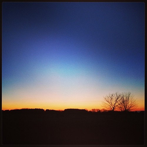
Goodnight sun, lay down to rest...
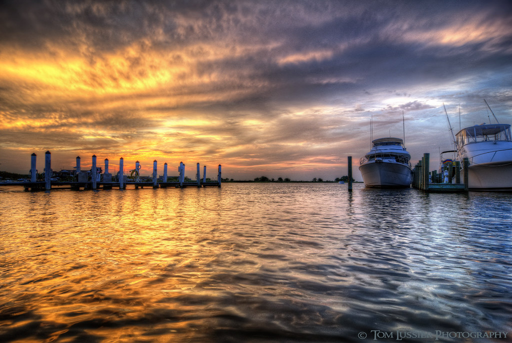
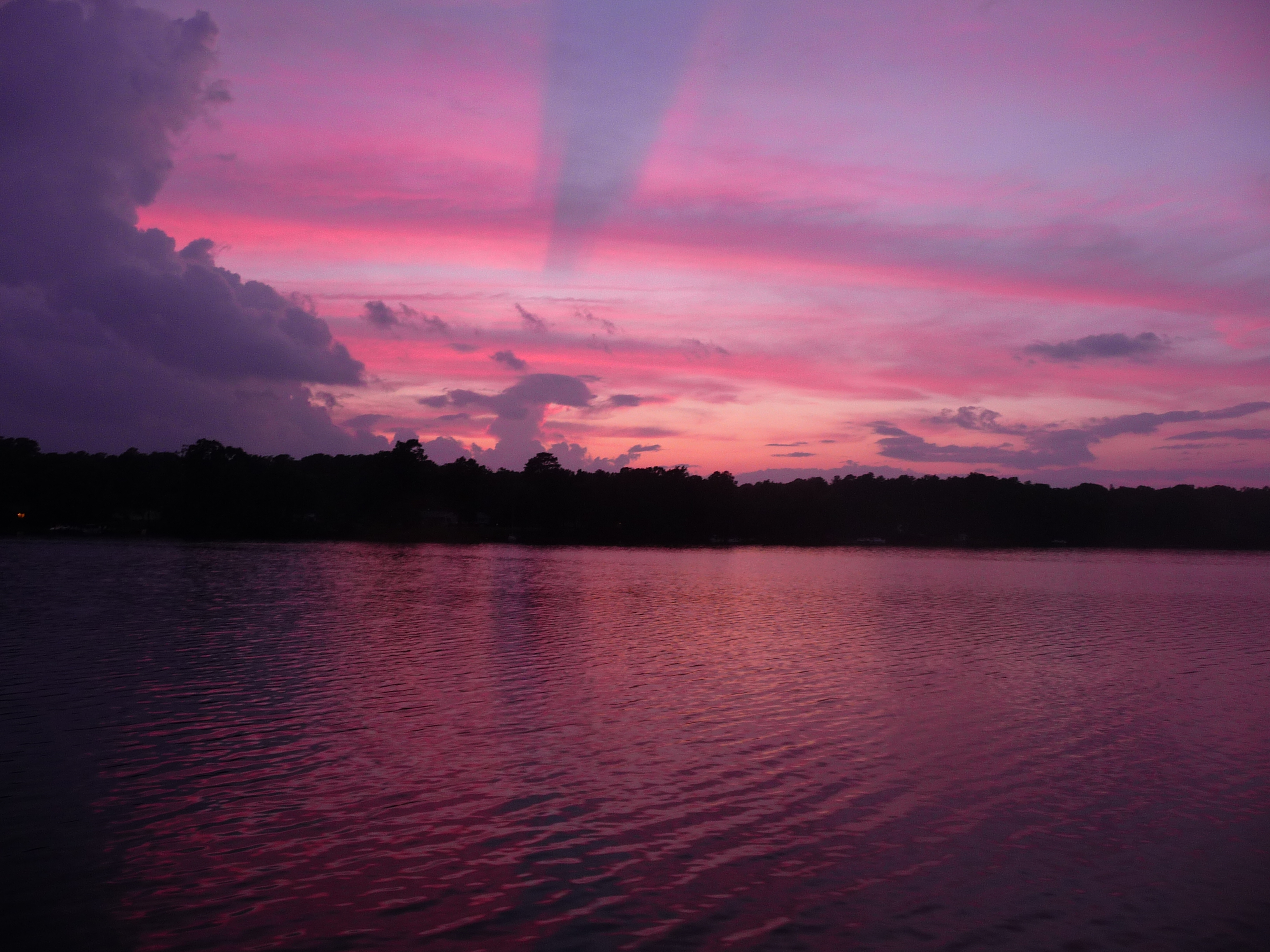
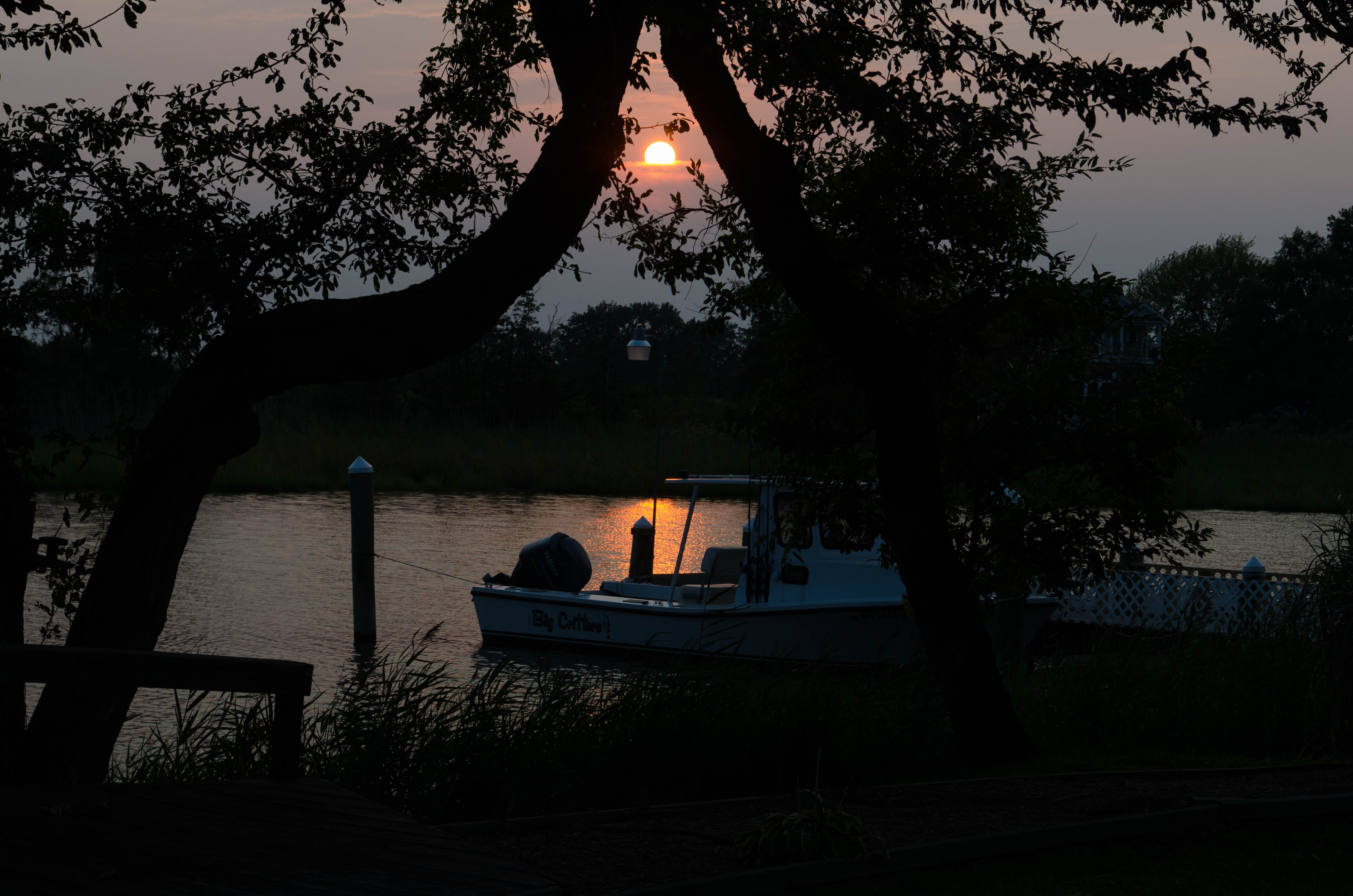
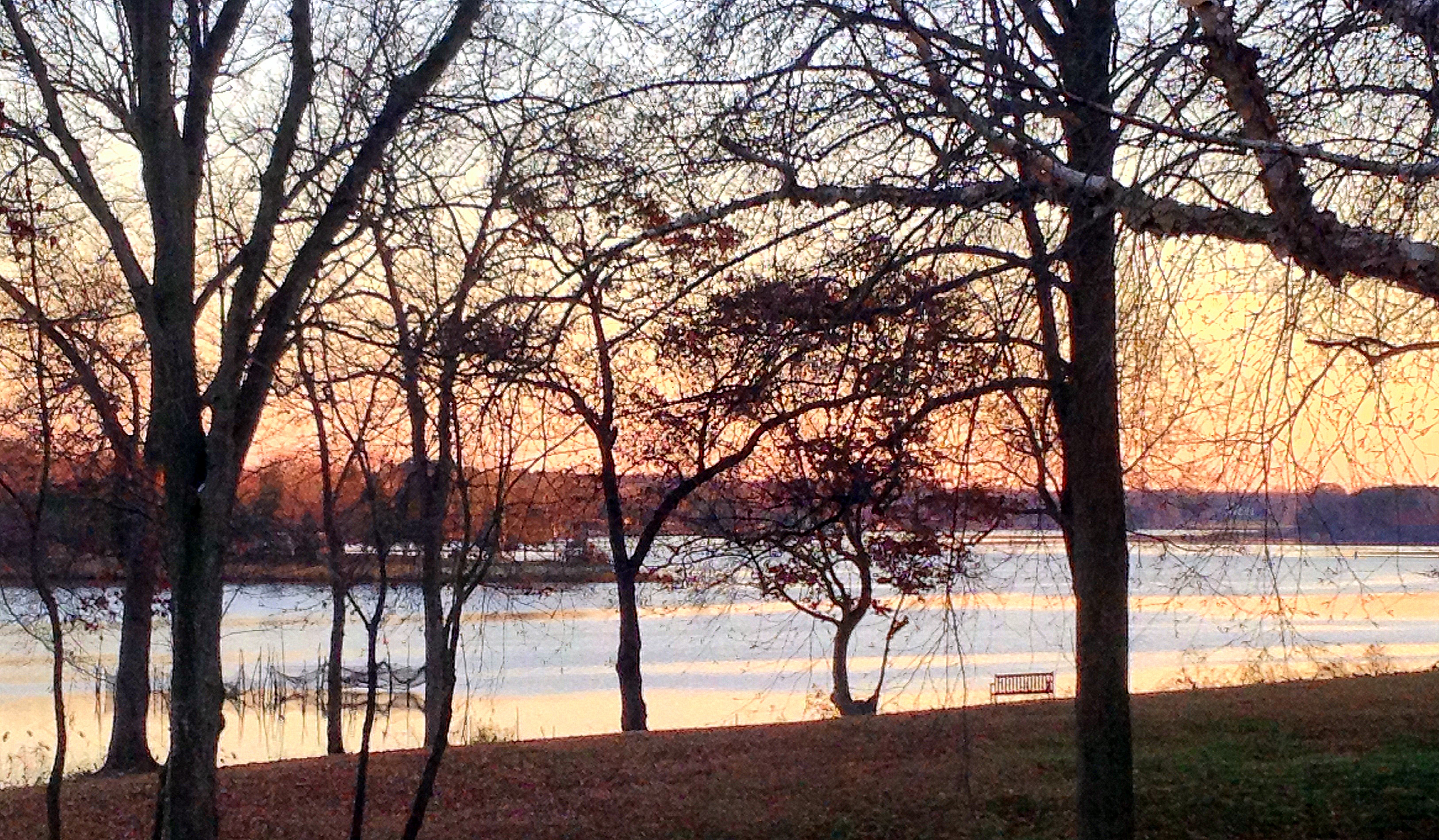
Chesapeake Day's End
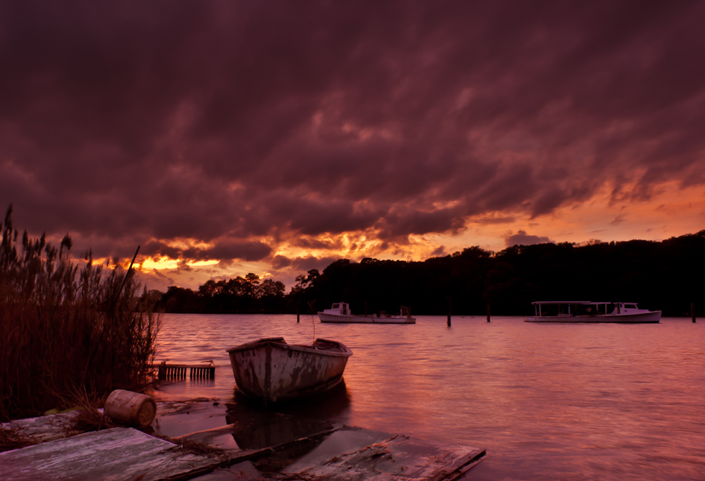
Fire in the Sky

Oyster shells near marsh, Kent Narrows

Fishing at Sunset
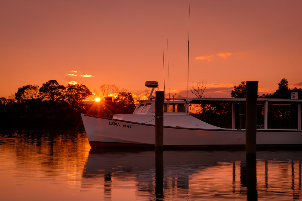
Lena May
Comegys sunset
P1020545.JPG
#crabcakesandkarats ⛵⚓✌
#crabcakesandkarats ⛵⚓✌ #sunset
#crabcakesandkarats ⛵⚓✌
Eastern Shore, MD
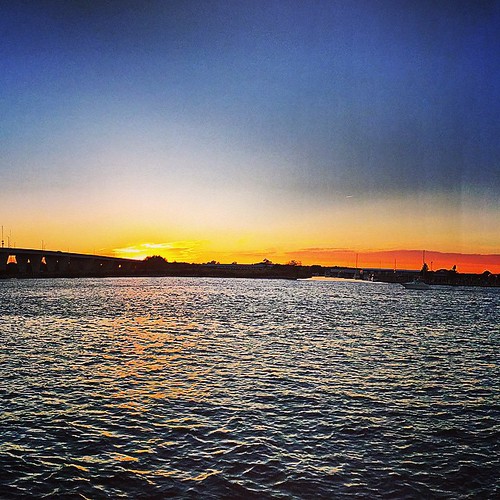
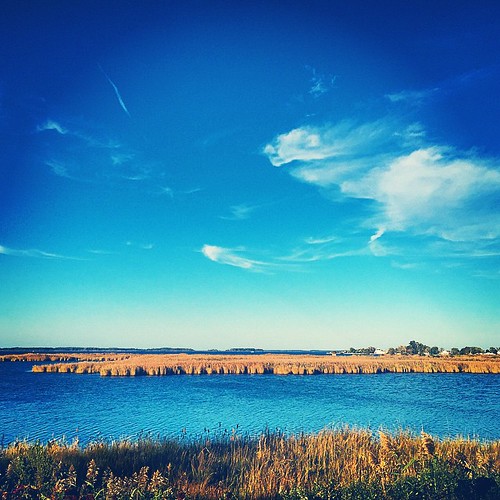
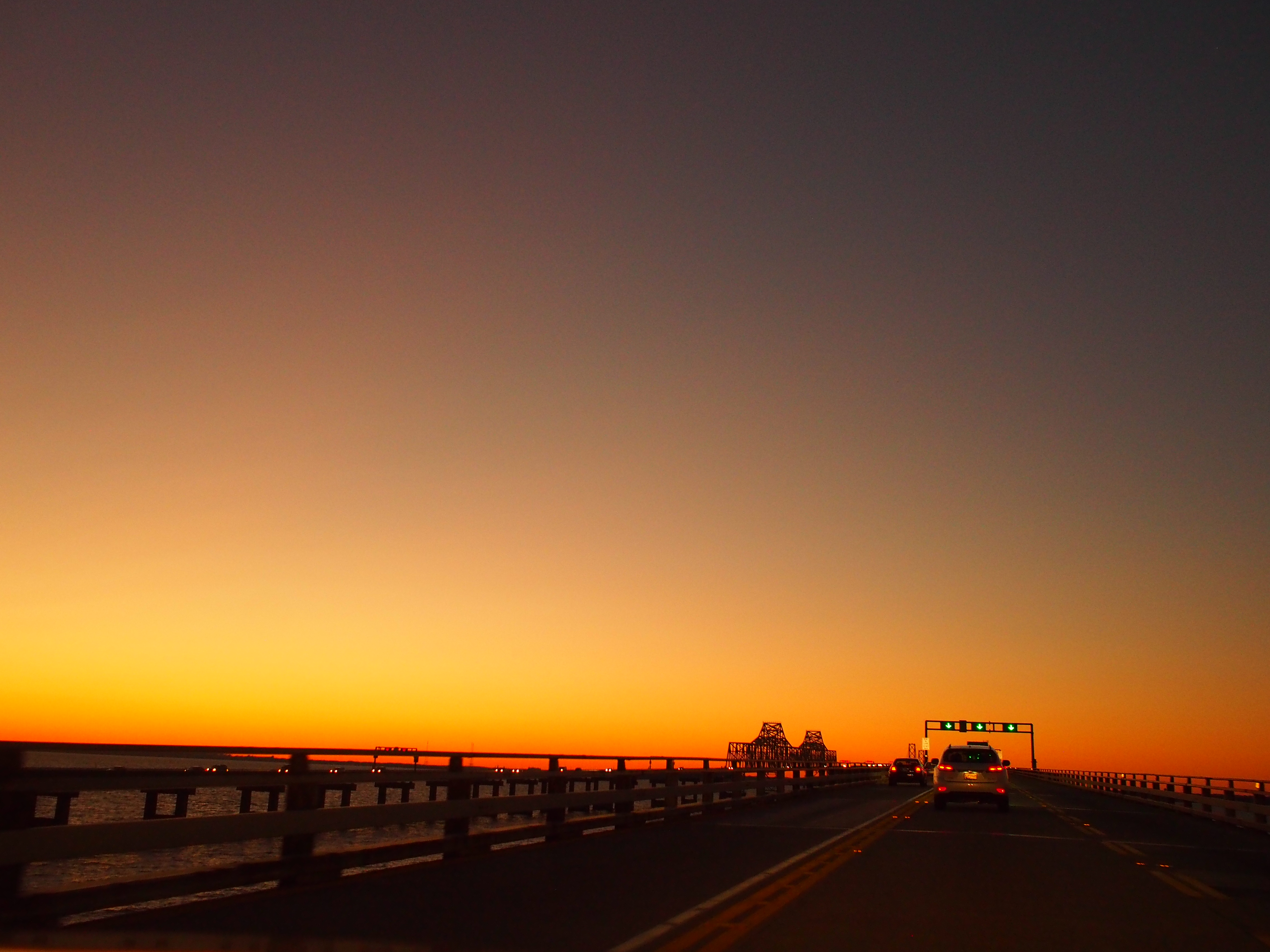
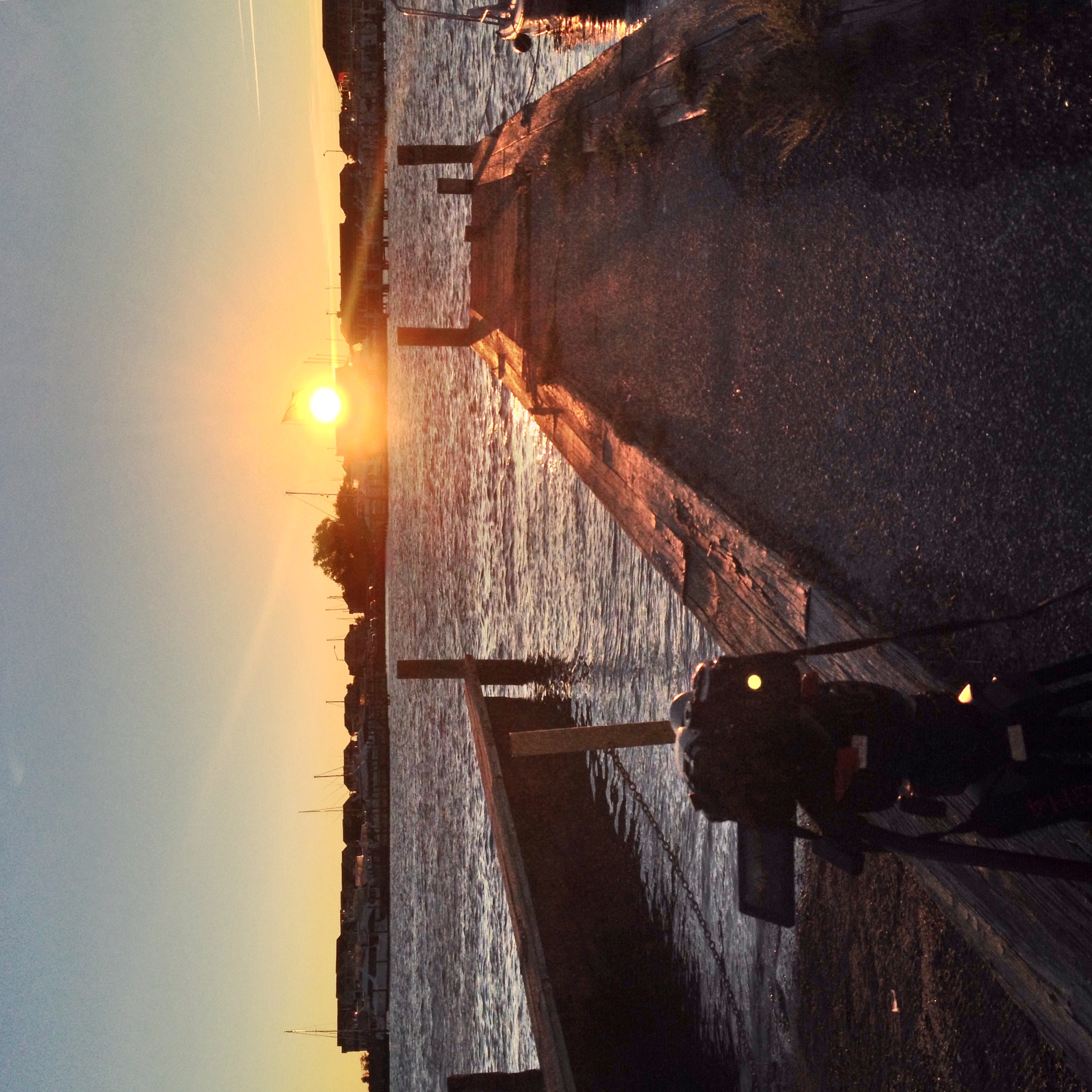
Sunset over Kent Island MD

Sunset, crab boil & bluegrass - good day #forkarl
Sunset over Kent Island MD
P1020550.JPG

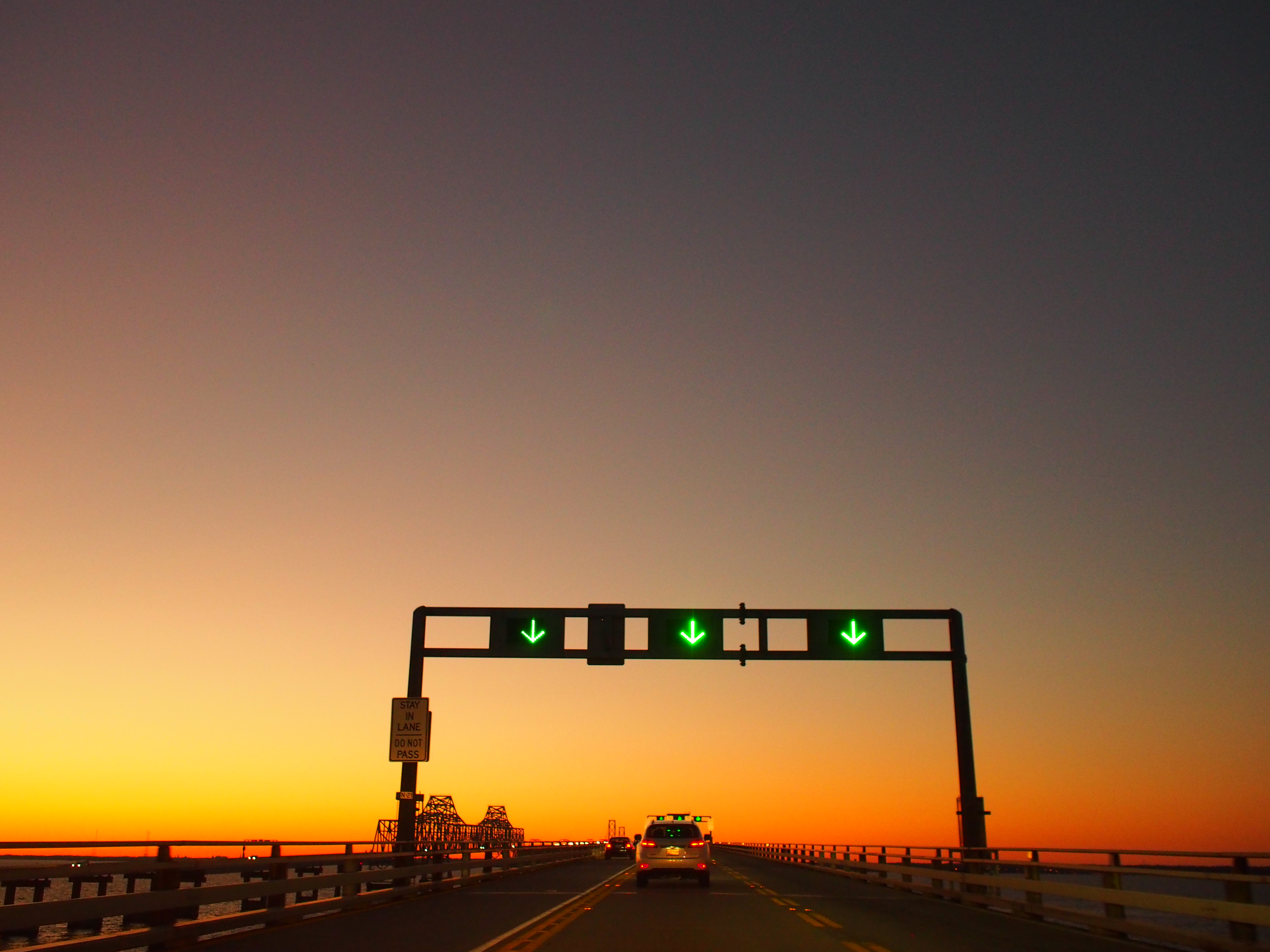
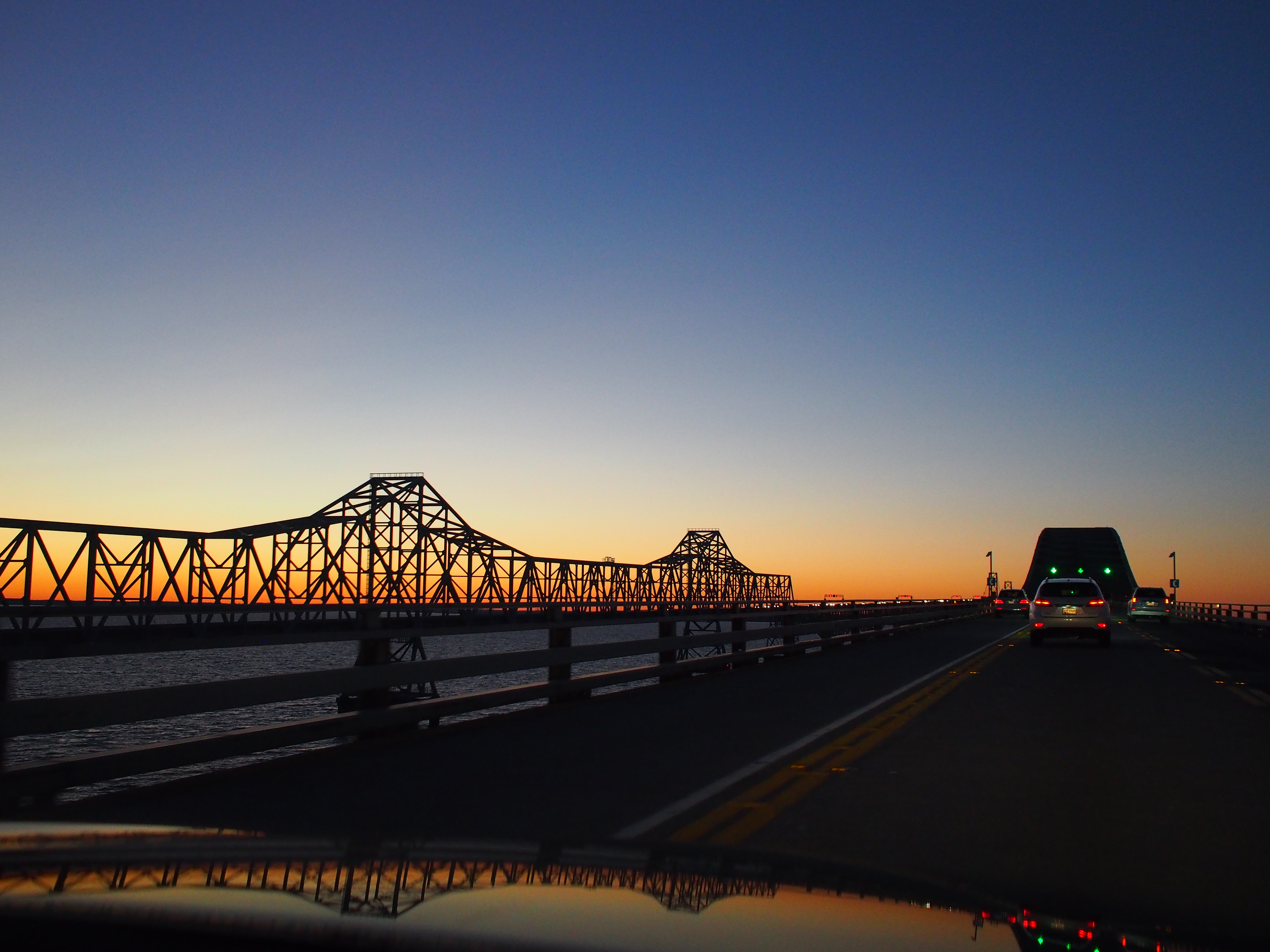
The Bay Bridge

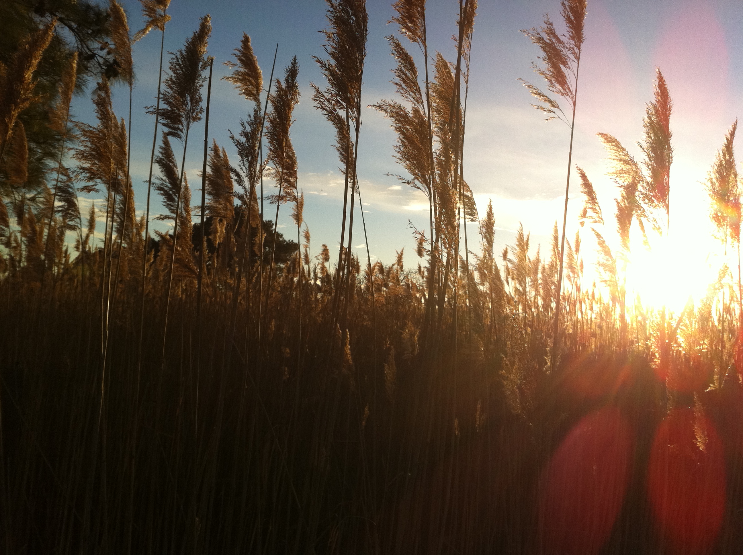
Sunrise behind phragmites, Kent Narrows
Sunset over Kent Island MD
P1020543.JPG

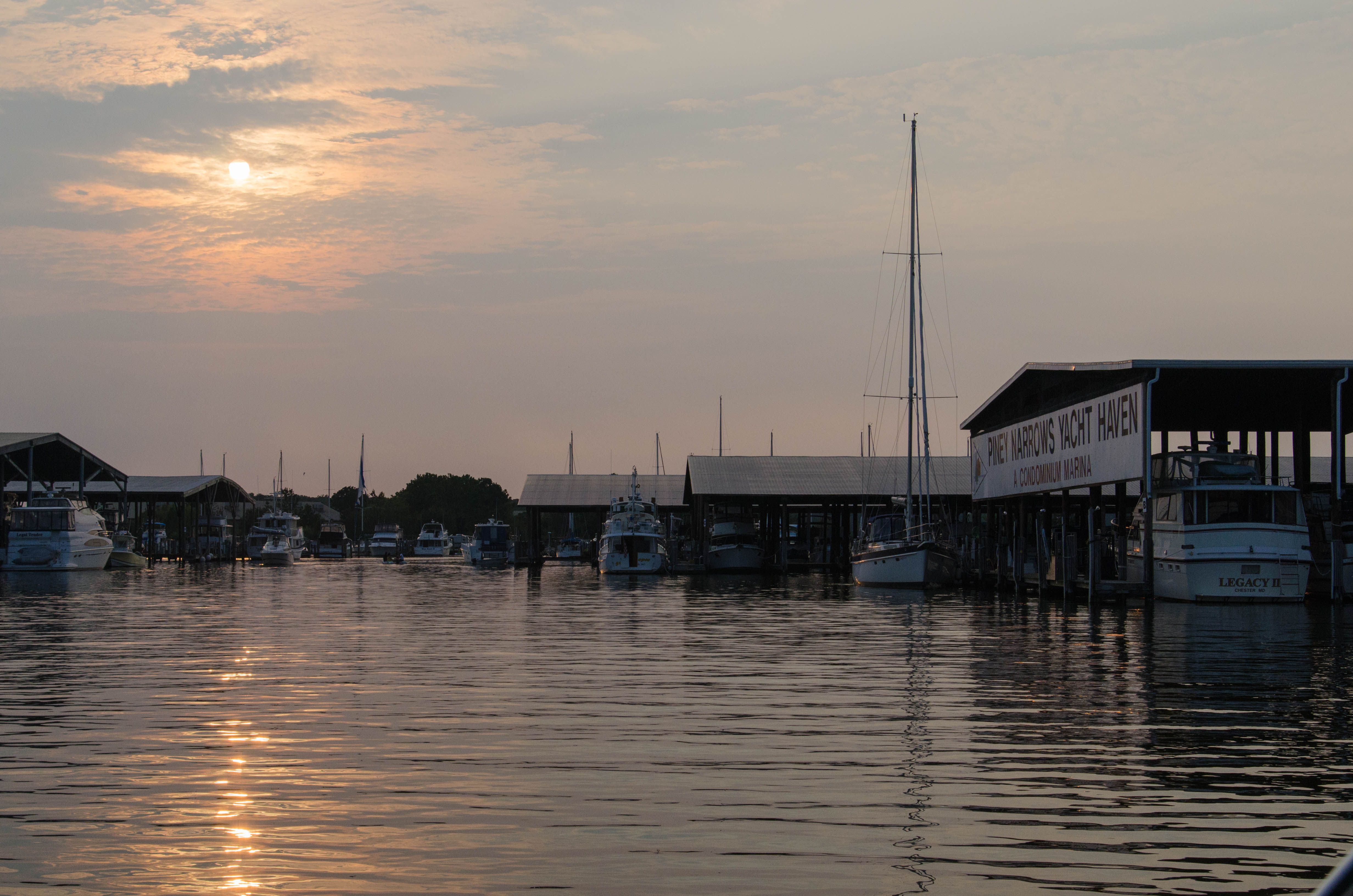
Workboat with condos behind, Kent Narrows
Dawn over Cox Creek

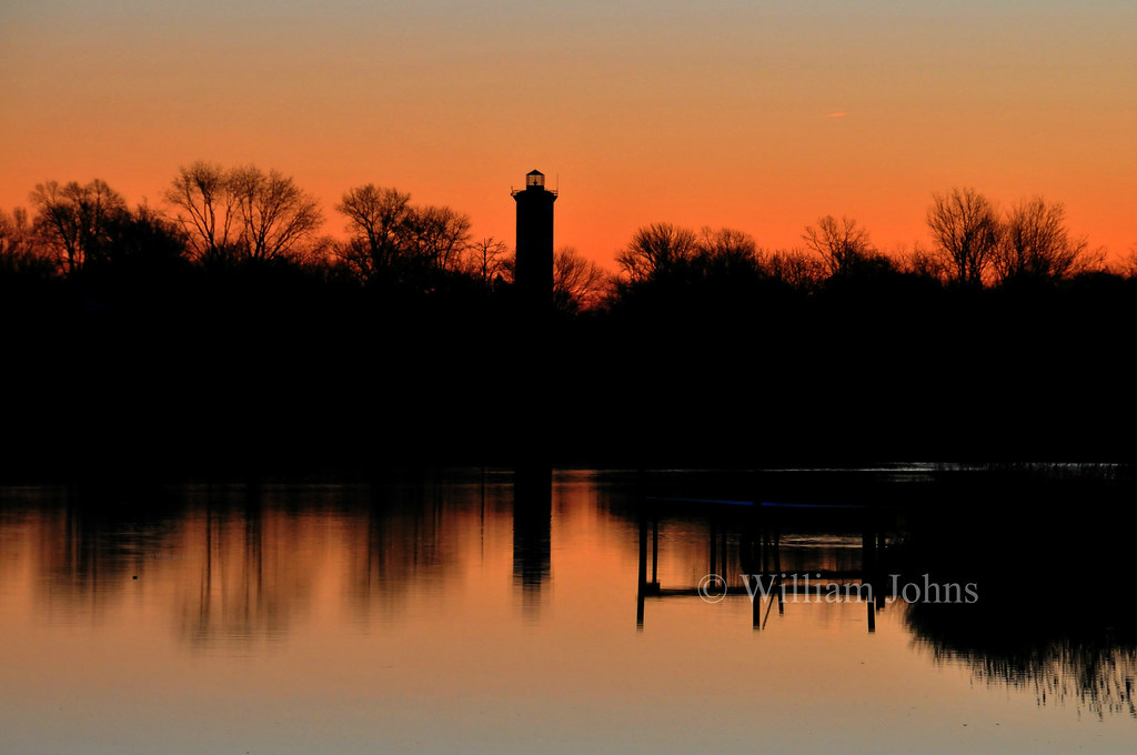
Sunrise over Kent Narrows
Sunrise at the Kent Narrows.
The River Wye

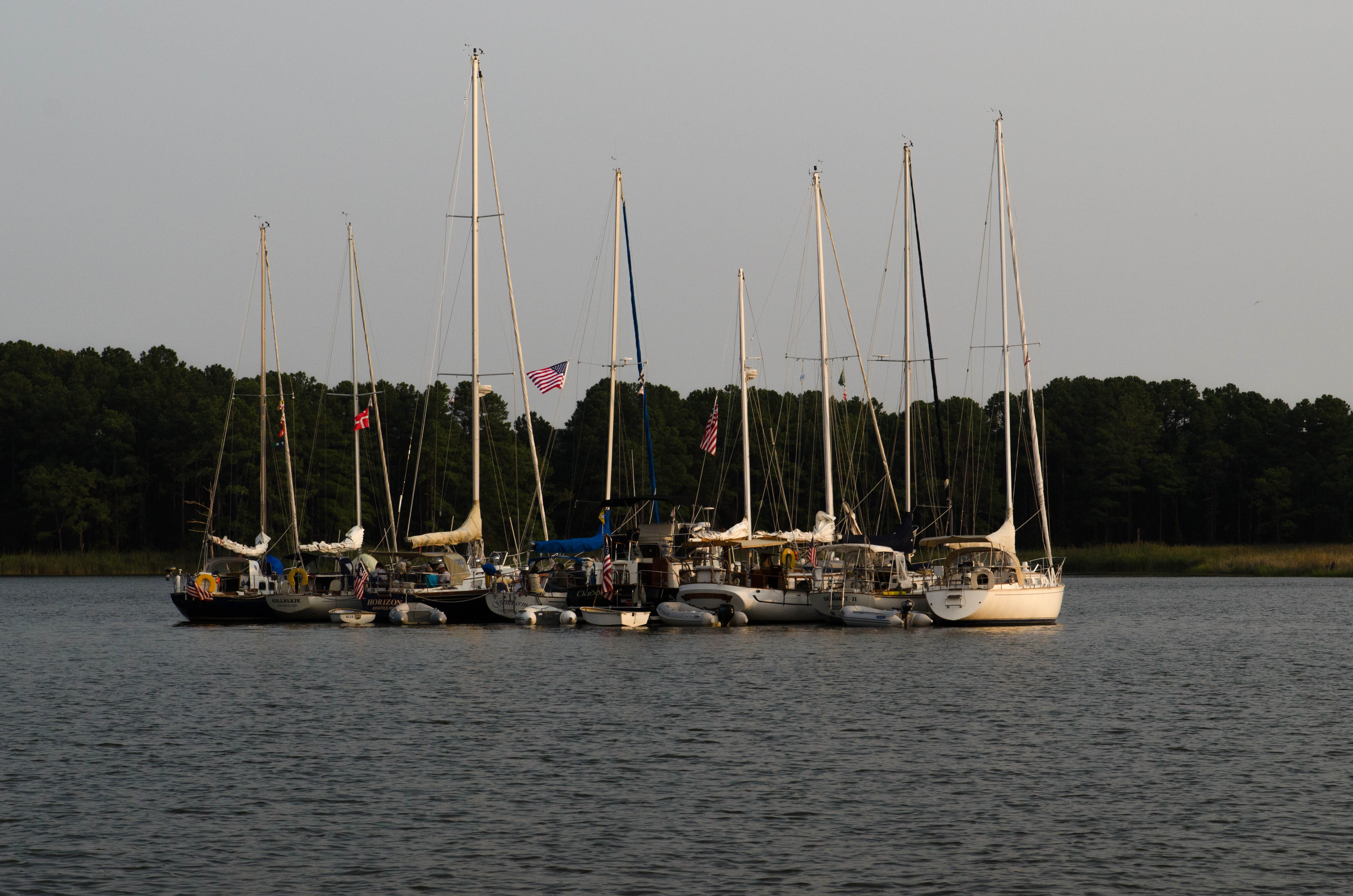
Tied Up
Queen Anne's County, Maryland, USA Karte
Suchen Sie einen anderen Ort
Orte in Queen Anne's County, Maryland, USA
4, Kent Island, MD, USA
3, Centreville, MD, USA
5, Queenstown, MD, USA
2, Church Hill, MD, USA
7, Crumpton, MD, USA
6, Ruthsburg, MD, USA
1, Dixon, MD, USA
Nahe Plätze
Cody Ln, Centreville, MD, USA
Town Point Ln, Centreville, MD, USA
Fort Point Road, Fort Point Rd, Centreville, MD, USA
Corsica St, Centreville, MD, USA
Concerto Ave, Centreville, MD, USA
Quail Run Dr, Centreville, MD, USA
Centreville, MD, USA
Little Kidwell Avenue, Little Kidwell Ave, Centreville, MD, USA
Centreville, Maryland, USA
3, Centreville, MD, USA
Green St, Centreville, MD, USA
Spaniard Neck Rd, Centreville, MD, USA
Deerfield Ct, Centreville, MD, USA
Fair Brook Way, Centreville, MD, USA
E Brook Dr, Centreville, MD, USA
Shrewsbury Farm Ln, Centreville, MD, USA
McKinleyville Rd, Rock Hall, MD, USA
Johnsontown Rd, Chestertown, MD, USA
Kelleys Park Rd, Rock Hall, MD, USA
Quaker Neck Landing Rd, Chestertown, MD, USA
Letzte Suche
- Holloway Ave, San Francisco, CA, USA Sonnenaufgang Sonnenuntergang Zeiten
- 1-chōme-1-5 Asahi, Utsunomiya, Tochigi -, Japan Sonnenaufgang Sonnenuntergang Zeiten
- Bist Hazari, Afghanistan Sonnenaufgang Sonnenuntergang Zeiten
- 82- D Rd, Captain Cook, HI, USA Sonnenaufgang Sonnenuntergang Zeiten
- Harlow CM20 2PR, Vereinigtes Königreich Sonnenaufgang Sonnenuntergang Zeiten
- Yadozaki Tairausuiso, Iwaki, Fukushima -, Japan Sonnenaufgang Sonnenuntergang Zeiten
- Alpha Dr, Melbourne, FL, USA Sonnenaufgang Sonnenuntergang Zeiten
- Yanaka, Taito City, Tokyo -, Japan Sonnenaufgang Sonnenuntergang Zeiten
- Universität Hiroshima, 1-chōme-3-2 Kagamiyama, Higashihiroshima, Hiroshima -, Japan Sonnenaufgang Sonnenuntergang Zeiten
- Lake Shore Dr, Warwick, RI, USA Sonnenaufgang Sonnenuntergang Zeiten