Ferryland, Neufundland und Labrador, Kanada Sonnenaufgang Sonnenuntergang Zeiten
Location: Kanada > Neufundland und Labrador > Division No. 1 > Division No. 1 >
Zeitzone:
America/St_Johns
Ortszeit:
2024-04-25 16:45:15
Länge:
-52.8826702
Breite:
47.0339483
Sonnenaufgang Heute:
05:52:23 AM
Sonnenuntergang Heute:
08:06:01 PM
Tageslänge heute:
14h 13m 38s
Sonnenaufgang morgen:
05:50:43 AM
Sonnenuntergang Morgen:
08:07:23 PM
Tageslänge von morgen:
14h 16m 40s
Alle Termine anzeigen
| Datum | Sonnenaufgang | Sonnenuntergang | Tageslänge |
|---|---|---|---|
| 2024-01-01 | 07:47:19 AM | 04:23:08 PM | 8h 35m 49s |
| 2024-01-02 | 07:47:17 AM | 04:24:06 PM | 8h 36m 49s |
| 2024-01-03 | 07:47:12 AM | 04:25:07 PM | 8h 37m 55s |
| 2024-01-04 | 07:47:04 AM | 04:26:09 PM | 8h 39m 5s |
| 2024-01-05 | 07:46:53 AM | 04:27:13 PM | 8h 40m 20s |
| 2024-01-06 | 07:46:40 AM | 04:28:19 PM | 8h 41m 39s |
| 2024-01-07 | 07:46:23 AM | 04:29:27 PM | 8h 43m 4s |
| 2024-01-08 | 07:46:04 AM | 04:30:37 PM | 8h 44m 33s |
| 2024-01-09 | 07:45:43 AM | 04:31:48 PM | 8h 46m 5s |
| 2024-01-10 | 07:45:18 AM | 04:33:01 PM | 8h 47m 43s |
| 2024-01-11 | 07:44:51 AM | 04:34:16 PM | 8h 49m 25s |
| 2024-01-12 | 07:44:21 AM | 04:35:32 PM | 8h 51m 11s |
| 2024-01-13 | 07:43:49 AM | 04:36:49 PM | 8h 53m 0s |
| 2024-01-14 | 07:43:13 AM | 04:38:08 PM | 8h 54m 55s |
| 2024-01-15 | 07:42:36 AM | 04:39:28 PM | 8h 56m 52s |
| 2024-01-16 | 07:41:56 AM | 04:40:49 PM | 8h 58m 53s |
| 2024-01-17 | 07:41:13 AM | 04:42:12 PM | 9h 0m 59s |
| 2024-01-18 | 07:40:27 AM | 04:43:35 PM | 9h 3m 8s |
| 2024-01-19 | 07:39:40 AM | 04:44:59 PM | 9h 5m 19s |
| 2024-01-20 | 07:38:50 AM | 04:46:25 PM | 9h 7m 35s |
| 2024-01-21 | 07:37:57 AM | 04:47:51 PM | 9h 9m 54s |
| 2024-01-22 | 07:37:02 AM | 04:49:18 PM | 9h 12m 16s |
| 2024-01-23 | 07:36:05 AM | 04:50:46 PM | 9h 14m 41s |
| 2024-01-24 | 07:35:06 AM | 04:52:14 PM | 9h 17m 8s |
| 2024-01-25 | 07:34:04 AM | 04:53:43 PM | 9h 19m 39s |
| 2024-01-26 | 07:33:00 AM | 04:55:13 PM | 9h 22m 13s |
| 2024-01-27 | 07:31:54 AM | 04:56:43 PM | 9h 24m 49s |
| 2024-01-28 | 07:30:47 AM | 04:58:13 PM | 9h 27m 26s |
| 2024-01-29 | 07:29:37 AM | 04:59:44 PM | 9h 30m 7s |
| 2024-01-30 | 07:28:25 AM | 05:01:16 PM | 9h 32m 51s |
| 2024-01-31 | 07:27:11 AM | 05:02:47 PM | 9h 35m 36s |
| 2024-02-01 | 07:25:55 AM | 05:04:19 PM | 9h 38m 24s |
| 2024-02-02 | 07:24:37 AM | 05:05:51 PM | 9h 41m 14s |
| 2024-02-03 | 07:23:18 AM | 05:07:24 PM | 9h 44m 6s |
| 2024-02-04 | 07:21:56 AM | 05:08:56 PM | 9h 47m 0s |
| 2024-02-05 | 07:20:33 AM | 05:10:29 PM | 9h 49m 56s |
| 2024-02-06 | 07:19:09 AM | 05:12:01 PM | 9h 52m 52s |
| 2024-02-07 | 07:17:42 AM | 05:13:34 PM | 9h 55m 52s |
| 2024-02-08 | 07:16:15 AM | 05:15:07 PM | 9h 58m 52s |
| 2024-02-09 | 07:14:45 AM | 05:16:39 PM | 10h 1m 54s |
| 2024-02-10 | 07:13:14 AM | 05:18:12 PM | 10h 4m 58s |
| 2024-02-11 | 07:11:42 AM | 05:19:45 PM | 10h 8m 3s |
| 2024-02-12 | 07:10:08 AM | 05:21:17 PM | 10h 11m 9s |
| 2024-02-13 | 07:08:33 AM | 05:22:49 PM | 10h 14m 16s |
| 2024-02-14 | 07:06:56 AM | 05:24:22 PM | 10h 17m 26s |
| 2024-02-15 | 07:05:19 AM | 05:25:54 PM | 10h 20m 35s |
| 2024-02-16 | 07:03:39 AM | 05:27:25 PM | 10h 23m 46s |
| 2024-02-17 | 07:01:59 AM | 05:28:57 PM | 10h 26m 58s |
| 2024-02-18 | 07:00:18 AM | 05:30:28 PM | 10h 30m 10s |
| 2024-02-19 | 06:58:35 AM | 05:32:00 PM | 10h 33m 25s |
| 2024-02-20 | 06:56:52 AM | 05:33:30 PM | 10h 36m 38s |
| 2024-02-21 | 06:55:07 AM | 05:35:01 PM | 10h 39m 54s |
| 2024-02-22 | 06:53:21 AM | 05:36:32 PM | 10h 43m 11s |
| 2024-02-23 | 06:51:35 AM | 05:38:02 PM | 10h 46m 27s |
| 2024-02-24 | 06:49:47 AM | 05:39:32 PM | 10h 49m 45s |
| 2024-02-25 | 06:47:58 AM | 05:41:01 PM | 10h 53m 3s |
| 2024-02-26 | 06:46:09 AM | 05:42:31 PM | 10h 56m 22s |
| 2024-02-27 | 06:44:19 AM | 05:44:00 PM | 10h 59m 41s |
| 2024-02-28 | 06:42:28 AM | 05:45:28 PM | 11h 3m 0s |
| 2024-02-29 | 06:40:36 AM | 05:46:57 PM | 11h 6m 21s |
| 2024-03-01 | 06:38:44 AM | 05:48:25 PM | 11h 9m 41s |
| 2024-03-02 | 06:36:51 AM | 05:49:53 PM | 11h 13m 2s |
| 2024-03-03 | 06:34:57 AM | 05:51:21 PM | 11h 16m 24s |
| 2024-03-04 | 06:33:03 AM | 05:52:48 PM | 11h 19m 45s |
| 2024-03-05 | 06:31:08 AM | 05:54:15 PM | 11h 23m 7s |
| 2024-03-06 | 06:29:12 AM | 05:55:42 PM | 11h 26m 30s |
| 2024-03-07 | 06:27:16 AM | 05:57:09 PM | 11h 29m 53s |
| 2024-03-08 | 06:25:20 AM | 05:58:35 PM | 11h 33m 15s |
| 2024-03-09 | 06:23:23 AM | 06:00:01 PM | 11h 36m 38s |
| 2024-03-10 | 07:21:30 AM | 07:01:24 PM | 11h 39m 54s |
| 2024-03-11 | 07:19:33 AM | 07:02:49 PM | 11h 43m 16s |
| 2024-03-12 | 07:17:35 AM | 07:04:15 PM | 11h 46m 40s |
| 2024-03-13 | 07:15:36 AM | 07:05:40 PM | 11h 50m 4s |
| 2024-03-14 | 07:13:38 AM | 07:07:05 PM | 11h 53m 27s |
| 2024-03-15 | 07:11:39 AM | 07:08:30 PM | 11h 56m 51s |
| 2024-03-16 | 07:09:40 AM | 07:09:55 PM | 12h 0m 15s |
| 2024-03-17 | 07:07:41 AM | 07:11:19 PM | 12h 3m 38s |
| 2024-03-18 | 07:05:41 AM | 07:12:43 PM | 12h 7m 2s |
| 2024-03-19 | 07:03:42 AM | 07:14:07 PM | 12h 10m 25s |
| 2024-03-20 | 07:01:42 AM | 07:15:31 PM | 12h 13m 49s |
| 2024-03-21 | 06:59:42 AM | 07:16:55 PM | 12h 17m 13s |
| 2024-03-22 | 06:57:43 AM | 07:18:19 PM | 12h 20m 36s |
| 2024-03-23 | 06:55:43 AM | 07:19:43 PM | 12h 24m 0s |
| 2024-03-24 | 06:53:43 AM | 07:21:06 PM | 12h 27m 23s |
| 2024-03-25 | 06:51:44 AM | 07:22:30 PM | 12h 30m 46s |
| 2024-03-26 | 06:49:44 AM | 07:23:53 PM | 12h 34m 9s |
| 2024-03-27 | 06:47:45 AM | 07:25:16 PM | 12h 37m 31s |
| 2024-03-28 | 06:45:45 AM | 07:26:39 PM | 12h 40m 54s |
| 2024-03-29 | 06:43:46 AM | 07:28:02 PM | 12h 44m 16s |
| 2024-03-30 | 06:41:47 AM | 07:29:25 PM | 12h 47m 38s |
| 2024-03-31 | 06:39:49 AM | 07:30:48 PM | 12h 50m 59s |
| 2024-04-01 | 06:37:51 AM | 07:32:11 PM | 12h 54m 20s |
| 2024-04-02 | 06:35:53 AM | 07:33:34 PM | 12h 57m 41s |
| 2024-04-03 | 06:33:55 AM | 07:34:57 PM | 13h 1m 2s |
| 2024-04-04 | 06:31:58 AM | 07:36:20 PM | 13h 4m 22s |
| 2024-04-05 | 06:30:01 AM | 07:37:43 PM | 13h 7m 42s |
| 2024-04-06 | 06:28:04 AM | 07:39:06 PM | 13h 11m 2s |
| 2024-04-07 | 06:26:08 AM | 07:40:28 PM | 13h 14m 20s |
| 2024-04-08 | 06:24:13 AM | 07:41:51 PM | 13h 17m 38s |
| 2024-04-09 | 06:22:18 AM | 07:43:14 PM | 13h 20m 56s |
| 2024-04-10 | 06:20:24 AM | 07:44:37 PM | 13h 24m 13s |
| 2024-04-11 | 06:18:30 AM | 07:45:59 PM | 13h 27m 29s |
| 2024-04-12 | 06:16:37 AM | 07:47:22 PM | 13h 30m 45s |
| 2024-04-13 | 06:14:44 AM | 07:48:45 PM | 13h 34m 1s |
| 2024-04-14 | 06:12:53 AM | 07:50:08 PM | 13h 37m 15s |
| 2024-04-15 | 06:11:02 AM | 07:51:30 PM | 13h 40m 28s |
| 2024-04-16 | 06:09:11 AM | 07:52:53 PM | 13h 43m 42s |
| 2024-04-17 | 06:07:22 AM | 07:54:16 PM | 13h 46m 54s |
| 2024-04-18 | 06:05:33 AM | 07:55:38 PM | 13h 50m 5s |
| 2024-04-19 | 06:03:46 AM | 07:57:01 PM | 13h 53m 15s |
| 2024-04-20 | 06:01:59 AM | 07:58:23 PM | 13h 56m 24s |
| 2024-04-21 | 06:00:13 AM | 07:59:46 PM | 13h 59m 33s |
| 2024-04-22 | 05:58:28 AM | 08:01:08 PM | 14h 2m 40s |
| 2024-04-23 | 05:56:44 AM | 08:02:30 PM | 14h 5m 46s |
| 2024-04-24 | 05:55:02 AM | 08:03:53 PM | 14h 8m 51s |
| 2024-04-25 | 05:53:20 AM | 08:05:15 PM | 14h 11m 55s |
| 2024-04-26 | 05:51:39 AM | 08:06:37 PM | 14h 14m 58s |
| 2024-04-27 | 05:50:00 AM | 08:07:58 PM | 14h 17m 58s |
| 2024-04-28 | 05:48:22 AM | 08:09:20 PM | 14h 20m 58s |
| 2024-04-29 | 05:46:45 AM | 08:10:41 PM | 14h 23m 56s |
| 2024-04-30 | 05:45:09 AM | 08:12:02 PM | 14h 26m 53s |
| 2024-05-01 | 05:43:35 AM | 08:13:23 PM | 14h 29m 48s |
| 2024-05-02 | 05:42:02 AM | 08:14:44 PM | 14h 32m 42s |
| 2024-05-03 | 05:40:30 AM | 08:16:04 PM | 14h 35m 34s |
| 2024-05-04 | 05:39:00 AM | 08:17:24 PM | 14h 38m 24s |
| 2024-05-05 | 05:37:32 AM | 08:18:44 PM | 14h 41m 12s |
| 2024-05-06 | 05:36:05 AM | 08:20:03 PM | 14h 43m 58s |
| 2024-05-07 | 05:34:39 AM | 08:21:22 PM | 14h 46m 43s |
| 2024-05-08 | 05:33:15 AM | 08:22:41 PM | 14h 49m 26s |
| 2024-05-09 | 05:31:53 AM | 08:23:59 PM | 14h 52m 6s |
| 2024-05-10 | 05:30:32 AM | 08:25:16 PM | 14h 54m 44s |
| 2024-05-11 | 05:29:13 AM | 08:26:33 PM | 14h 57m 20s |
| 2024-05-12 | 05:27:56 AM | 08:27:49 PM | 14h 59m 53s |
| 2024-05-13 | 05:26:41 AM | 08:29:05 PM | 15h 2m 24s |
| 2024-05-14 | 05:25:27 AM | 08:30:19 PM | 15h 4m 52s |
| 2024-05-15 | 05:24:16 AM | 08:31:33 PM | 15h 7m 17s |
| 2024-05-16 | 05:23:06 AM | 08:32:47 PM | 15h 9m 41s |
| 2024-05-17 | 05:21:58 AM | 08:33:59 PM | 15h 12m 1s |
| 2024-05-18 | 05:20:53 AM | 08:35:11 PM | 15h 14m 18s |
| 2024-05-19 | 05:19:49 AM | 08:36:21 PM | 15h 16m 32s |
| 2024-05-20 | 05:18:47 AM | 08:37:31 PM | 15h 18m 44s |
| 2024-05-21 | 05:17:48 AM | 08:38:40 PM | 15h 20m 52s |
| 2024-05-22 | 05:16:50 AM | 08:39:47 PM | 15h 22m 57s |
| 2024-05-23 | 05:15:55 AM | 08:40:53 PM | 15h 24m 58s |
| 2024-05-24 | 05:15:02 AM | 08:41:59 PM | 15h 26m 57s |
| 2024-05-25 | 05:14:11 AM | 08:43:03 PM | 15h 28m 52s |
| 2024-05-26 | 05:13:22 AM | 08:44:05 PM | 15h 30m 43s |
| 2024-05-27 | 05:12:36 AM | 08:45:06 PM | 15h 32m 30s |
| 2024-05-28 | 05:11:52 AM | 08:46:06 PM | 15h 34m 14s |
| 2024-05-29 | 05:11:10 AM | 08:47:04 PM | 15h 35m 54s |
| 2024-05-30 | 05:10:31 AM | 08:48:01 PM | 15h 37m 30s |
| 2024-05-31 | 05:09:54 AM | 08:48:56 PM | 15h 39m 2s |
| 2024-06-01 | 05:09:20 AM | 08:49:50 PM | 15h 40m 30s |
| 2024-06-02 | 05:08:48 AM | 08:50:42 PM | 15h 41m 54s |
| 2024-06-03 | 05:08:18 AM | 08:51:32 PM | 15h 43m 14s |
| 2024-06-04 | 05:07:51 AM | 08:52:20 PM | 15h 44m 29s |
| 2024-06-05 | 05:07:26 AM | 08:53:07 PM | 15h 45m 41s |
| 2024-06-06 | 05:07:04 AM | 08:53:51 PM | 15h 46m 47s |
| 2024-06-07 | 05:06:44 AM | 08:54:34 PM | 15h 47m 50s |
| 2024-06-08 | 05:06:27 AM | 08:55:15 PM | 15h 48m 48s |
| 2024-06-09 | 05:06:13 AM | 08:55:53 PM | 15h 49m 40s |
| 2024-06-10 | 05:06:01 AM | 08:56:30 PM | 15h 50m 29s |
| 2024-06-11 | 05:05:51 AM | 08:57:04 PM | 15h 51m 13s |
| 2024-06-12 | 05:05:44 AM | 08:57:36 PM | 15h 51m 52s |
| 2024-06-13 | 05:05:40 AM | 08:58:06 PM | 15h 52m 26s |
| 2024-06-14 | 05:05:38 AM | 08:58:34 PM | 15h 52m 56s |
| 2024-06-15 | 05:05:38 AM | 08:58:59 PM | 15h 53m 21s |
| 2024-06-16 | 05:05:41 AM | 08:59:22 PM | 15h 53m 41s |
| 2024-06-17 | 05:05:47 AM | 08:59:43 PM | 15h 53m 56s |
| 2024-06-18 | 05:05:55 AM | 09:00:01 PM | 15h 54m 6s |
| 2024-06-19 | 05:06:05 AM | 09:00:17 PM | 15h 54m 12s |
| 2024-06-20 | 05:06:18 AM | 09:00:30 PM | 15h 54m 12s |
| 2024-06-21 | 05:06:33 AM | 09:00:41 PM | 15h 54m 8s |
| 2024-06-22 | 05:06:51 AM | 09:00:49 PM | 15h 53m 58s |
| 2024-06-23 | 05:07:11 AM | 09:00:55 PM | 15h 53m 44s |
| 2024-06-24 | 05:07:33 AM | 09:00:58 PM | 15h 53m 25s |
| 2024-06-25 | 05:07:57 AM | 09:00:59 PM | 15h 53m 2s |
| 2024-06-26 | 05:08:24 AM | 09:00:57 PM | 15h 52m 33s |
| 2024-06-27 | 05:08:53 AM | 09:00:53 PM | 15h 52m 0s |
| 2024-06-28 | 05:09:24 AM | 09:00:46 PM | 15h 51m 22s |
| 2024-06-29 | 05:09:57 AM | 09:00:36 PM | 15h 50m 39s |
| 2024-06-30 | 05:10:32 AM | 09:00:24 PM | 15h 49m 52s |
| 2024-07-01 | 05:11:10 AM | 09:00:10 PM | 15h 49m 0s |
| 2024-07-02 | 05:11:49 AM | 08:59:52 PM | 15h 48m 3s |
| 2024-07-03 | 05:12:30 AM | 08:59:33 PM | 15h 47m 3s |
| 2024-07-04 | 05:13:13 AM | 08:59:10 PM | 15h 45m 57s |
| 2024-07-05 | 05:13:58 AM | 08:58:46 PM | 15h 44m 48s |
| 2024-07-06 | 05:14:45 AM | 08:58:18 PM | 15h 43m 33s |
| 2024-07-07 | 05:15:33 AM | 08:57:48 PM | 15h 42m 15s |
| 2024-07-08 | 05:16:24 AM | 08:57:16 PM | 15h 40m 52s |
| 2024-07-09 | 05:17:15 AM | 08:56:41 PM | 15h 39m 26s |
| 2024-07-10 | 05:18:09 AM | 08:56:04 PM | 15h 37m 55s |
| 2024-07-11 | 05:19:03 AM | 08:55:24 PM | 15h 36m 21s |
| 2024-07-12 | 05:20:00 AM | 08:54:42 PM | 15h 34m 42s |
| 2024-07-13 | 05:20:57 AM | 08:53:58 PM | 15h 33m 1s |
| 2024-07-14 | 05:21:56 AM | 08:53:11 PM | 15h 31m 15s |
| 2024-07-15 | 05:22:57 AM | 08:52:22 PM | 15h 29m 25s |
| 2024-07-16 | 05:23:58 AM | 08:51:30 PM | 15h 27m 32s |
| 2024-07-17 | 05:25:01 AM | 08:50:37 PM | 15h 25m 36s |
| 2024-07-18 | 05:26:05 AM | 08:49:41 PM | 15h 23m 36s |
| 2024-07-19 | 05:27:10 AM | 08:48:43 PM | 15h 21m 33s |
| 2024-07-20 | 05:28:16 AM | 08:47:43 PM | 15h 19m 27s |
| 2024-07-21 | 05:29:23 AM | 08:46:40 PM | 15h 17m 17s |
| 2024-07-22 | 05:30:31 AM | 08:45:36 PM | 15h 15m 5s |
| 2024-07-23 | 05:31:39 AM | 08:44:29 PM | 15h 12m 50s |
| 2024-07-24 | 05:32:49 AM | 08:43:21 PM | 15h 10m 32s |
| 2024-07-25 | 05:33:59 AM | 08:42:10 PM | 15h 8m 11s |
| 2024-07-26 | 05:35:10 AM | 08:40:58 PM | 15h 5m 48s |
| 2024-07-27 | 05:36:22 AM | 08:39:44 PM | 15h 3m 22s |
| 2024-07-28 | 05:37:35 AM | 08:38:28 PM | 15h 0m 53s |
| 2024-07-29 | 05:38:48 AM | 08:37:10 PM | 14h 58m 22s |
| 2024-07-30 | 05:40:01 AM | 08:35:50 PM | 14h 55m 49s |
| 2024-07-31 | 05:41:15 AM | 08:34:29 PM | 14h 53m 14s |
| 2024-08-01 | 05:42:30 AM | 08:33:06 PM | 14h 50m 36s |
| 2024-08-02 | 05:43:45 AM | 08:31:41 PM | 14h 47m 56s |
| 2024-08-03 | 05:45:00 AM | 08:30:14 PM | 14h 45m 14s |
| 2024-08-04 | 05:46:16 AM | 08:28:47 PM | 14h 42m 31s |
| 2024-08-05 | 05:47:32 AM | 08:27:17 PM | 14h 39m 45s |
| 2024-08-06 | 05:48:48 AM | 08:25:46 PM | 14h 36m 58s |
| 2024-08-07 | 05:50:05 AM | 08:24:14 PM | 14h 34m 9s |
| 2024-08-08 | 05:51:22 AM | 08:22:40 PM | 14h 31m 18s |
| 2024-08-09 | 05:52:39 AM | 08:21:04 PM | 14h 28m 25s |
| 2024-08-10 | 05:53:57 AM | 08:19:28 PM | 14h 25m 31s |
| 2024-08-11 | 05:55:14 AM | 08:17:50 PM | 14h 22m 36s |
| 2024-08-12 | 05:56:32 AM | 08:16:11 PM | 14h 19m 39s |
| 2024-08-13 | 05:57:50 AM | 08:14:31 PM | 14h 16m 41s |
| 2024-08-14 | 05:59:08 AM | 08:12:49 PM | 14h 13m 41s |
| 2024-08-15 | 06:00:26 AM | 08:11:06 PM | 14h 10m 40s |
| 2024-08-16 | 06:01:44 AM | 08:09:23 PM | 14h 7m 39s |
| 2024-08-17 | 06:03:02 AM | 08:07:38 PM | 14h 4m 36s |
| 2024-08-18 | 06:04:20 AM | 08:05:52 PM | 14h 1m 32s |
| 2024-08-19 | 06:05:38 AM | 08:04:05 PM | 13h 58m 27s |
| 2024-08-20 | 06:06:57 AM | 08:02:17 PM | 13h 55m 20s |
| 2024-08-21 | 06:08:15 AM | 08:00:28 PM | 13h 52m 13s |
| 2024-08-22 | 06:09:33 AM | 07:58:38 PM | 13h 49m 5s |
| 2024-08-23 | 06:10:52 AM | 07:56:48 PM | 13h 45m 56s |
| 2024-08-24 | 06:12:10 AM | 07:54:56 PM | 13h 42m 46s |
| 2024-08-25 | 06:13:28 AM | 07:53:04 PM | 13h 39m 36s |
| 2024-08-26 | 06:14:46 AM | 07:51:11 PM | 13h 36m 25s |
| 2024-08-27 | 06:16:05 AM | 07:49:18 PM | 13h 33m 13s |
| 2024-08-28 | 06:17:23 AM | 07:47:23 PM | 13h 30m 0s |
| 2024-08-29 | 06:18:41 AM | 07:45:28 PM | 13h 26m 47s |
| 2024-08-30 | 06:19:59 AM | 07:43:33 PM | 13h 23m 34s |
| 2024-08-31 | 06:21:18 AM | 07:41:36 PM | 13h 20m 18s |
| 2024-09-01 | 06:22:36 AM | 07:39:40 PM | 13h 17m 4s |
| 2024-09-02 | 06:23:54 AM | 07:37:42 PM | 13h 13m 48s |
| 2024-09-03 | 06:25:12 AM | 07:35:45 PM | 13h 10m 33s |
| 2024-09-04 | 06:26:30 AM | 07:33:46 PM | 13h 7m 16s |
| 2024-09-05 | 06:27:48 AM | 07:31:48 PM | 13h 4m 0s |
| 2024-09-06 | 06:29:06 AM | 07:29:49 PM | 13h 0m 43s |
| 2024-09-07 | 06:30:24 AM | 07:27:49 PM | 12h 57m 25s |
| 2024-09-08 | 06:31:42 AM | 07:25:49 PM | 12h 54m 7s |
| 2024-09-09 | 06:33:01 AM | 07:23:49 PM | 12h 50m 48s |
| 2024-09-10 | 06:34:19 AM | 07:21:49 PM | 12h 47m 30s |
| 2024-09-11 | 06:35:37 AM | 07:19:48 PM | 12h 44m 11s |
| 2024-09-12 | 06:36:55 AM | 07:17:47 PM | 12h 40m 52s |
| 2024-09-13 | 06:38:14 AM | 07:15:46 PM | 12h 37m 32s |
| 2024-09-14 | 06:39:32 AM | 07:13:45 PM | 12h 34m 13s |
| 2024-09-15 | 06:40:50 AM | 07:11:44 PM | 12h 30m 54s |
| 2024-09-16 | 06:42:09 AM | 07:09:42 PM | 12h 27m 33s |
| 2024-09-17 | 06:43:27 AM | 07:07:41 PM | 12h 24m 14s |
| 2024-09-18 | 06:44:46 AM | 07:05:39 PM | 12h 20m 53s |
| 2024-09-19 | 06:46:05 AM | 07:03:38 PM | 12h 17m 33s |
| 2024-09-20 | 06:47:24 AM | 07:01:36 PM | 12h 14m 12s |
| 2024-09-21 | 06:48:43 AM | 06:59:35 PM | 12h 10m 52s |
| 2024-09-22 | 06:50:02 AM | 06:57:34 PM | 12h 7m 32s |
| 2024-09-23 | 06:51:22 AM | 06:55:32 PM | 12h 4m 10s |
| 2024-09-24 | 06:52:41 AM | 06:53:31 PM | 12h 0m 50s |
| 2024-09-25 | 06:54:01 AM | 06:51:30 PM | 11h 57m 29s |
| 2024-09-26 | 06:55:21 AM | 06:49:30 PM | 11h 54m 9s |
| 2024-09-27 | 06:56:41 AM | 06:47:29 PM | 11h 50m 48s |
| 2024-09-28 | 06:58:01 AM | 06:45:29 PM | 11h 47m 28s |
| 2024-09-29 | 06:59:22 AM | 06:43:29 PM | 11h 44m 7s |
| 2024-09-30 | 07:00:42 AM | 06:41:29 PM | 11h 40m 47s |
| 2024-10-01 | 07:02:03 AM | 06:39:30 PM | 11h 37m 27s |
| 2024-10-02 | 07:03:24 AM | 06:37:31 PM | 11h 34m 7s |
| 2024-10-03 | 07:04:46 AM | 06:35:33 PM | 11h 30m 47s |
| 2024-10-04 | 07:06:08 AM | 06:33:35 PM | 11h 27m 27s |
| 2024-10-05 | 07:07:30 AM | 06:31:38 PM | 11h 24m 8s |
| 2024-10-06 | 07:08:52 AM | 06:29:41 PM | 11h 20m 49s |
| 2024-10-07 | 07:10:14 AM | 06:27:45 PM | 11h 17m 31s |
| 2024-10-08 | 07:11:37 AM | 06:25:49 PM | 11h 14m 12s |
| 2024-10-09 | 07:13:00 AM | 06:23:54 PM | 11h 10m 54s |
| 2024-10-10 | 07:14:24 AM | 06:21:59 PM | 11h 7m 35s |
| 2024-10-11 | 07:15:47 AM | 06:20:05 PM | 11h 4m 18s |
| 2024-10-12 | 07:17:12 AM | 06:18:12 PM | 11h 1m 0s |
| 2024-10-13 | 07:18:36 AM | 06:16:20 PM | 10h 57m 44s |
| 2024-10-14 | 07:20:00 AM | 06:14:29 PM | 10h 54m 29s |
| 2024-10-15 | 07:21:25 AM | 06:12:38 PM | 10h 51m 13s |
| 2024-10-16 | 07:22:51 AM | 06:10:48 PM | 10h 47m 57s |
| 2024-10-17 | 07:24:16 AM | 06:08:59 PM | 10h 44m 43s |
| 2024-10-18 | 07:25:42 AM | 06:07:11 PM | 10h 41m 29s |
| 2024-10-19 | 07:27:08 AM | 06:05:24 PM | 10h 38m 16s |
| 2024-10-20 | 07:28:34 AM | 06:03:38 PM | 10h 35m 4s |
| 2024-10-21 | 07:30:01 AM | 06:01:53 PM | 10h 31m 52s |
| 2024-10-22 | 07:31:28 AM | 06:00:10 PM | 10h 28m 42s |
| 2024-10-23 | 07:32:55 AM | 05:58:27 PM | 10h 25m 32s |
| 2024-10-24 | 07:34:23 AM | 05:56:45 PM | 10h 22m 22s |
| 2024-10-25 | 07:35:50 AM | 05:55:05 PM | 10h 19m 15s |
| 2024-10-26 | 07:37:18 AM | 05:53:26 PM | 10h 16m 8s |
| 2024-10-27 | 07:38:46 AM | 05:51:48 PM | 10h 13m 2s |
| 2024-10-28 | 07:40:15 AM | 05:50:12 PM | 10h 9m 57s |
| 2024-10-29 | 07:41:43 AM | 05:48:37 PM | 10h 6m 54s |
| 2024-10-30 | 07:43:12 AM | 05:47:03 PM | 10h 3m 51s |
| 2024-10-31 | 07:44:41 AM | 05:45:31 PM | 10h 0m 50s |
| 2024-11-01 | 07:46:09 AM | 05:44:01 PM | 9h 57m 52s |
| 2024-11-02 | 07:47:38 AM | 05:42:32 PM | 9h 54m 54s |
| 2024-11-03 | 06:49:11 AM | 04:41:00 PM | 9h 51m 49s |
| 2024-11-04 | 06:50:40 AM | 04:39:35 PM | 9h 48m 55s |
| 2024-11-05 | 06:52:09 AM | 04:38:11 PM | 9h 46m 2s |
| 2024-11-06 | 06:53:38 AM | 04:36:48 PM | 9h 43m 10s |
| 2024-11-07 | 06:55:07 AM | 04:35:28 PM | 9h 40m 21s |
| 2024-11-08 | 06:56:35 AM | 04:34:09 PM | 9h 37m 34s |
| 2024-11-09 | 06:58:04 AM | 04:32:52 PM | 9h 34m 48s |
| 2024-11-10 | 06:59:32 AM | 04:31:37 PM | 9h 32m 5s |
| 2024-11-11 | 07:01:00 AM | 04:30:24 PM | 9h 29m 24s |
| 2024-11-12 | 07:02:28 AM | 04:29:13 PM | 9h 26m 45s |
| 2024-11-13 | 07:03:55 AM | 04:28:04 PM | 9h 24m 9s |
| 2024-11-14 | 07:05:22 AM | 04:26:57 PM | 9h 21m 35s |
| 2024-11-15 | 07:06:49 AM | 04:25:52 PM | 9h 19m 3s |
| 2024-11-16 | 07:08:15 AM | 04:24:49 PM | 9h 16m 34s |
| 2024-11-17 | 07:09:40 AM | 04:23:49 PM | 9h 14m 9s |
| 2024-11-18 | 07:11:05 AM | 04:22:51 PM | 9h 11m 46s |
| 2024-11-19 | 07:12:29 AM | 04:21:55 PM | 9h 9m 26s |
| 2024-11-20 | 07:13:53 AM | 04:21:02 PM | 9h 7m 9s |
| 2024-11-21 | 07:15:16 AM | 04:20:10 PM | 9h 4m 54s |
| 2024-11-22 | 07:16:37 AM | 04:19:22 PM | 9h 2m 45s |
| 2024-11-23 | 07:17:58 AM | 04:18:36 PM | 9h 0m 38s |
| 2024-11-24 | 07:19:18 AM | 04:17:52 PM | 8h 58m 34s |
| 2024-11-25 | 07:20:37 AM | 04:17:11 PM | 8h 56m 34s |
| 2024-11-26 | 07:21:55 AM | 04:16:32 PM | 8h 54m 37s |
| 2024-11-27 | 07:23:12 AM | 04:15:56 PM | 8h 52m 44s |
| 2024-11-28 | 07:24:27 AM | 04:15:23 PM | 8h 50m 56s |
| 2024-11-29 | 07:25:41 AM | 04:14:52 PM | 8h 49m 11s |
| 2024-11-30 | 07:26:54 AM | 04:14:24 PM | 8h 47m 30s |
| 2024-12-01 | 07:28:05 AM | 04:13:59 PM | 8h 45m 54s |
| 2024-12-02 | 07:29:15 AM | 04:13:36 PM | 8h 44m 21s |
| 2024-12-03 | 07:30:23 AM | 04:13:17 PM | 8h 42m 54s |
| 2024-12-04 | 07:31:29 AM | 04:13:00 PM | 8h 41m 31s |
| 2024-12-05 | 07:32:34 AM | 04:12:46 PM | 8h 40m 12s |
| 2024-12-06 | 07:33:37 AM | 04:12:34 PM | 8h 38m 57s |
| 2024-12-07 | 07:34:38 AM | 04:12:26 PM | 8h 37m 48s |
| 2024-12-08 | 07:35:37 AM | 04:12:20 PM | 8h 36m 43s |
| 2024-12-09 | 07:36:34 AM | 04:12:18 PM | 8h 35m 44s |
| 2024-12-10 | 07:37:29 AM | 04:12:18 PM | 8h 34m 49s |
| 2024-12-11 | 07:38:22 AM | 04:12:21 PM | 8h 33m 59s |
| 2024-12-12 | 07:39:12 AM | 04:12:27 PM | 8h 33m 15s |
| 2024-12-13 | 07:40:01 AM | 04:12:35 PM | 8h 32m 34s |
| 2024-12-14 | 07:40:47 AM | 04:12:47 PM | 8h 32m 0s |
| 2024-12-15 | 07:41:31 AM | 04:13:01 PM | 8h 31m 30s |
| 2024-12-16 | 07:42:12 AM | 04:13:18 PM | 8h 31m 6s |
| 2024-12-17 | 07:42:51 AM | 04:13:38 PM | 8h 30m 47s |
| 2024-12-18 | 07:43:27 AM | 04:14:01 PM | 8h 30m 34s |
| 2024-12-19 | 07:44:01 AM | 04:14:27 PM | 8h 30m 26s |
| 2024-12-20 | 07:44:33 AM | 04:14:55 PM | 8h 30m 22s |
| 2024-12-21 | 07:45:01 AM | 04:15:26 PM | 8h 30m 25s |
| 2024-12-22 | 07:45:28 AM | 04:15:59 PM | 8h 30m 31s |
| 2024-12-23 | 07:45:51 AM | 04:16:36 PM | 8h 30m 45s |
| 2024-12-24 | 07:46:12 AM | 04:17:14 PM | 8h 31m 2s |
| 2024-12-25 | 07:46:30 AM | 04:17:56 PM | 8h 31m 26s |
| 2024-12-26 | 07:46:45 AM | 04:18:40 PM | 8h 31m 55s |
| 2024-12-27 | 07:46:57 AM | 04:19:26 PM | 8h 32m 29s |
| 2024-12-28 | 07:47:07 AM | 04:20:15 PM | 8h 33m 8s |
| 2024-12-29 | 07:47:14 AM | 04:21:06 PM | 8h 33m 52s |
| 2024-12-30 | 07:47:18 AM | 04:21:59 PM | 8h 34m 41s |
Fotos
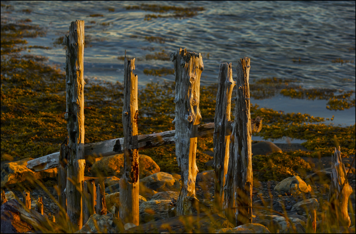
An Ancient Fence

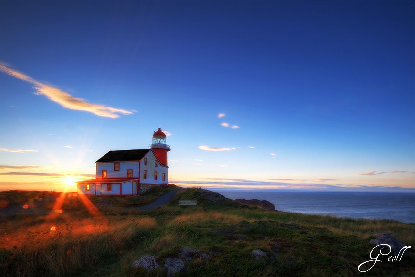
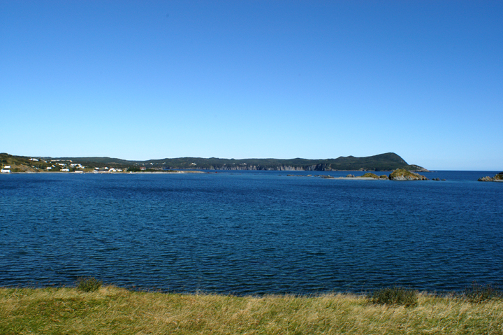
Sunset over Ferryland
Lighthouse

La Manche View

Rural Newfoundland
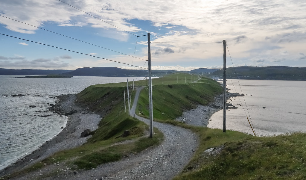
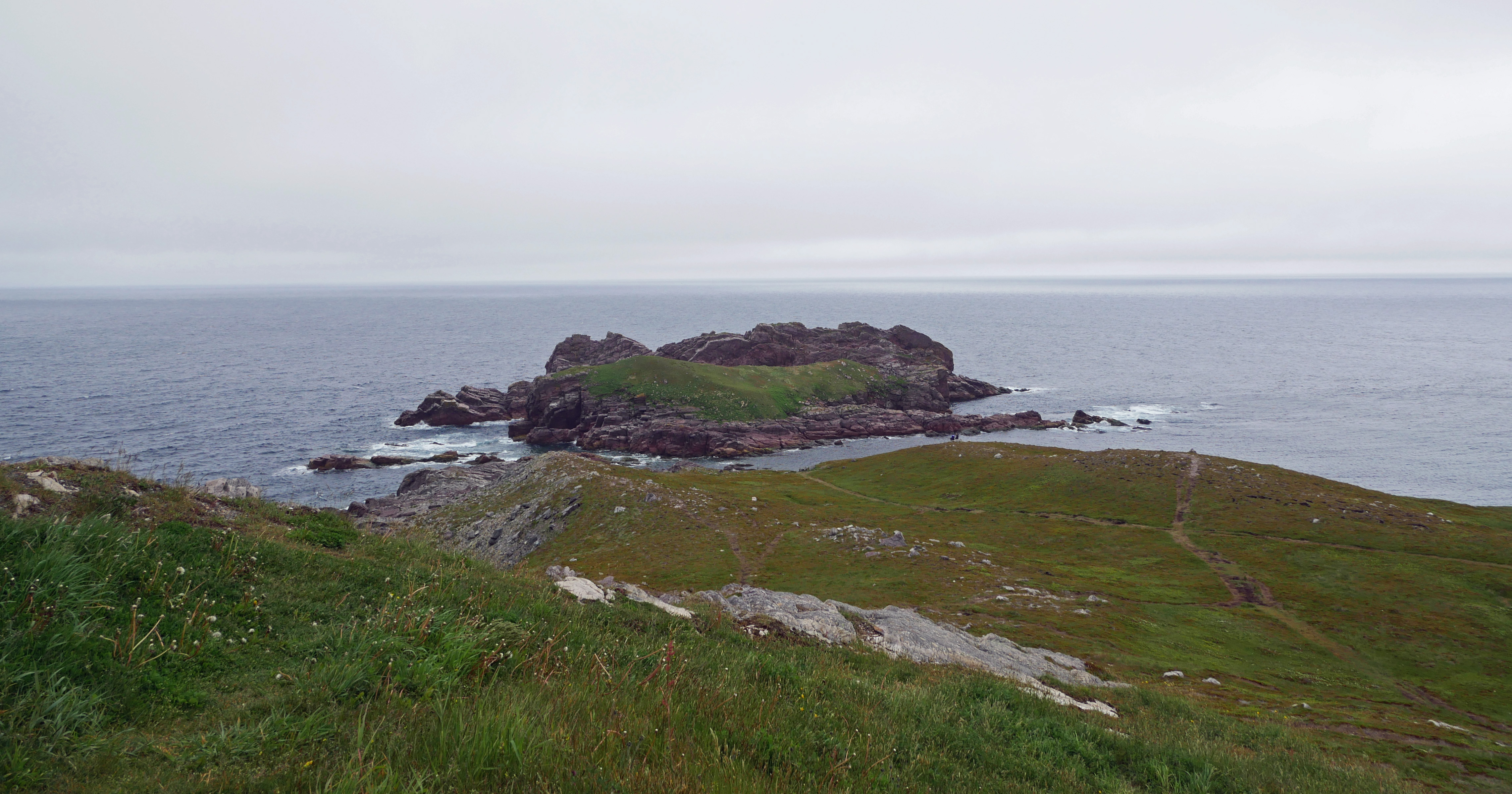
Picture of the isthmus "The Downs" as viewed from the cape "Ferryland Head."
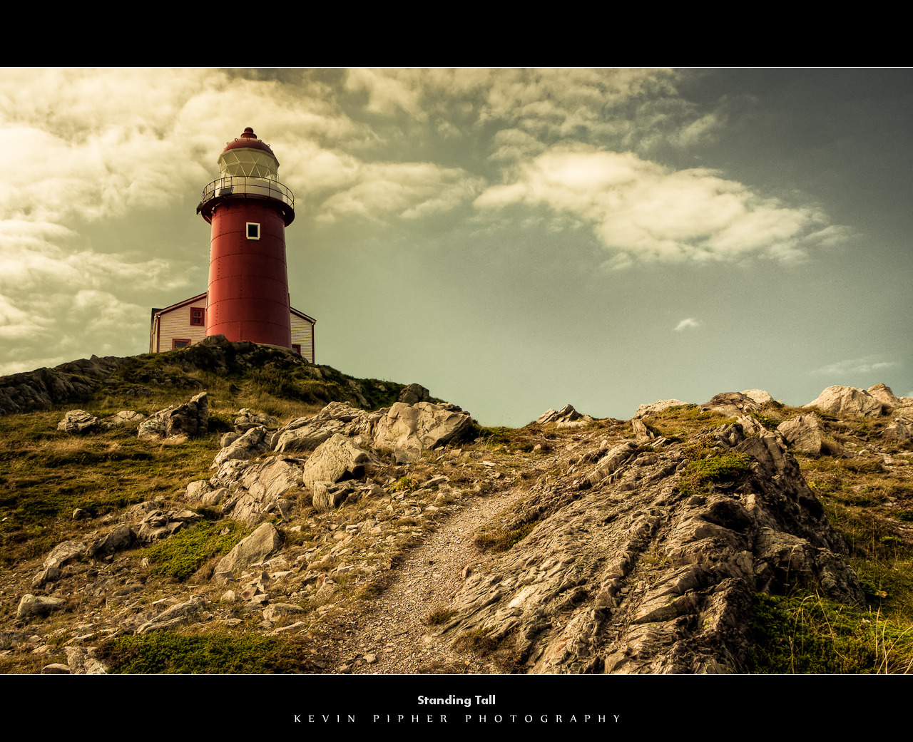
Standing Tall
DSC_41741z Ferryland outer harbour island chain
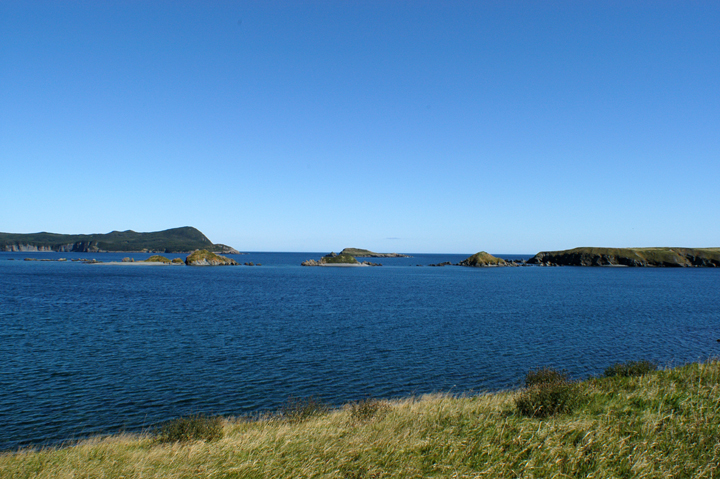
DSC_41740z Ferryland seascape SE panorama islands
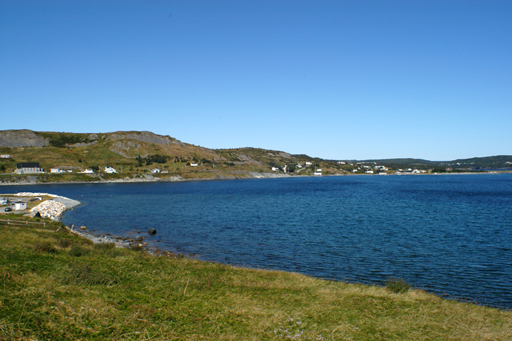
DSC_41742z Ferryland shoreline harbour panorama one
View from Ferryland Lighthouse
Ferryland, Neufundland und Labrador, Kanada Karte
Suchen Sie einen anderen Ort
Nahe Plätze
Fermeuse, NL, Kanada
NL-10, Fermeuse, NL A0A 2G0, Kanada
Division No. 1, Subd. U, NL, Kanada
Mobile, NL A0A, Kanada
NL-10, Mobile, NL A0A 3A0, Kanada
Witless Bay, NL, Kanada
Bay Bulls, NL A0A, Kanada
Division No. 1, Subd. D, NL, Kanada
Division No. 1, Subd. V, NL A0A, Kanada
TCH, St. John's, NL, Kanada
Holyrood, Neufundland und Labrador, Kanada
Goulds, St. John's, NL, Kanada
Cochrane Pond, St. John's, NL, Kanada
22 Keith Dr, Goulds, NL A1S 1B1, Kanada
Goulds, NL A1S 1R9, Kanada
Division No. 1, Subd. W, NL, Kanada
Glendenning Golf Course, Gabriel Rd, St. John's, NL A1H 1A5, Kanada
Cheeseman Drive, St. John's, NL A1H 0G8, Kanada
Gabriel Road, Gabriel Rd, St. John's, NL A1H, Kanada
Salmonier Line, Brigus Junction, NL A0B 1G0, Kanada
Letzte Suche
- Moriyama House, 3-chōme-21-21 Nishikamata, Ota City, Tokyo -, Japan Sonnenaufgang Sonnenuntergang Zeiten
- Manjojiki, Sawasaki, Sado, Niigata -, Japan Sonnenaufgang Sonnenuntergang Zeiten
- W Granada St, Tampa, FL, USA Sonnenaufgang Sonnenuntergang Zeiten
- Jalapa, Oaxaca, Mexiko Sonnenaufgang Sonnenuntergang Zeiten
- Pykes Down, Ivybridge PL21 0BY, UK Sonnenaufgang Sonnenuntergang Zeiten
- Wuzhi Mountain, Wuzhishan City, China Sonnenaufgang Sonnenuntergang Zeiten
- Ehenbichl, Österreich Sonnenaufgang Sonnenuntergang Zeiten
- Bilohirsk Sonnenaufgang Sonnenuntergang Zeiten
- Nedre Storvollen, Kvaløysletta, Norwegen Sonnenaufgang Sonnenuntergang Zeiten
- Unnamed Road, Respublika Severnaya Osetiya — Alaniya, Russland Sonnenaufgang Sonnenuntergang Zeiten