Agua Dulce, CA, USA Sonnenaufgang Sonnenuntergang Zeiten
Location: USA > Kalifornien > Los Angeles County >
Zeitzone:
America/Los_Angeles
Ortszeit:
2024-04-24 20:39:40
Länge:
-118.3256348
Breite:
34.4963817
Sonnenaufgang Heute:
06:08:30 AM
Sonnenuntergang Heute:
07:33:42 PM
Tageslänge heute:
13h 25m 12s
Sonnenaufgang morgen:
06:07:24 AM
Sonnenuntergang Morgen:
07:34:30 PM
Tageslänge von morgen:
13h 27m 6s
Alle Termine anzeigen
| Datum | Sonnenaufgang | Sonnenuntergang | Tageslänge |
|---|---|---|---|
| 2024-01-01 | 07:00:02 AM | 04:54:18 PM | 9h 54m 16s |
| 2024-01-02 | 07:00:12 AM | 04:55:05 PM | 9h 54m 53s |
| 2024-01-03 | 07:00:19 AM | 04:55:52 PM | 9h 55m 33s |
| 2024-01-04 | 07:00:24 AM | 04:56:41 PM | 9h 56m 17s |
| 2024-01-05 | 07:00:28 AM | 04:57:31 PM | 9h 57m 3s |
| 2024-01-06 | 07:00:30 AM | 04:58:21 PM | 9h 57m 51s |
| 2024-01-07 | 07:00:29 AM | 04:59:13 PM | 9h 58m 44s |
| 2024-01-08 | 07:00:27 AM | 05:00:05 PM | 9h 59m 38s |
| 2024-01-09 | 07:00:23 AM | 05:00:58 PM | 10h 0m 35s |
| 2024-01-10 | 07:00:18 AM | 05:01:52 PM | 10h 1m 34s |
| 2024-01-11 | 07:00:10 AM | 05:02:47 PM | 10h 2m 37s |
| 2024-01-12 | 07:00:00 AM | 05:03:42 PM | 10h 3m 42s |
| 2024-01-13 | 06:59:49 AM | 05:04:38 PM | 10h 4m 49s |
| 2024-01-14 | 06:59:35 AM | 05:05:34 PM | 10h 5m 59s |
| 2024-01-15 | 06:59:20 AM | 05:06:32 PM | 10h 7m 12s |
| 2024-01-16 | 06:59:03 AM | 05:07:29 PM | 10h 8m 26s |
| 2024-01-17 | 06:58:44 AM | 05:08:27 PM | 10h 9m 43s |
| 2024-01-18 | 06:58:23 AM | 05:09:25 PM | 10h 11m 2s |
| 2024-01-19 | 06:58:01 AM | 05:10:24 PM | 10h 12m 23s |
| 2024-01-20 | 06:57:36 AM | 05:11:23 PM | 10h 13m 47s |
| 2024-01-21 | 06:57:10 AM | 05:12:22 PM | 10h 15m 12s |
| 2024-01-22 | 06:56:42 AM | 05:13:22 PM | 10h 16m 40s |
| 2024-01-23 | 06:56:12 AM | 05:14:22 PM | 10h 18m 10s |
| 2024-01-24 | 06:55:41 AM | 05:15:22 PM | 10h 19m 41s |
| 2024-01-25 | 06:55:08 AM | 05:16:22 PM | 10h 21m 14s |
| 2024-01-26 | 06:54:33 AM | 05:17:22 PM | 10h 22m 49s |
| 2024-01-27 | 06:53:57 AM | 05:18:22 PM | 10h 24m 25s |
| 2024-01-28 | 06:53:18 AM | 05:19:22 PM | 10h 26m 4s |
| 2024-01-29 | 06:52:39 AM | 05:20:22 PM | 10h 27m 43s |
| 2024-01-30 | 06:51:57 AM | 05:21:22 PM | 10h 29m 25s |
| 2024-01-31 | 06:51:14 AM | 05:22:22 PM | 10h 31m 8s |
| 2024-02-01 | 06:50:30 AM | 05:23:22 PM | 10h 32m 52s |
| 2024-02-02 | 06:49:44 AM | 05:24:22 PM | 10h 34m 38s |
| 2024-02-03 | 06:48:56 AM | 05:25:22 PM | 10h 36m 26s |
| 2024-02-04 | 06:48:07 AM | 05:26:22 PM | 10h 38m 15s |
| 2024-02-05 | 06:47:17 AM | 05:27:21 PM | 10h 40m 4s |
| 2024-02-06 | 06:46:25 AM | 05:28:20 PM | 10h 41m 55s |
| 2024-02-07 | 06:45:32 AM | 05:29:19 PM | 10h 43m 47s |
| 2024-02-08 | 06:44:38 AM | 05:30:18 PM | 10h 45m 40s |
| 2024-02-09 | 06:43:42 AM | 05:31:16 PM | 10h 47m 34s |
| 2024-02-10 | 06:42:45 AM | 05:32:15 PM | 10h 49m 30s |
| 2024-02-11 | 06:41:46 AM | 05:33:12 PM | 10h 51m 26s |
| 2024-02-12 | 06:40:47 AM | 05:34:10 PM | 10h 53m 23s |
| 2024-02-13 | 06:39:46 AM | 05:35:07 PM | 10h 55m 21s |
| 2024-02-14 | 06:38:44 AM | 05:36:05 PM | 10h 57m 21s |
| 2024-02-15 | 06:37:41 AM | 05:37:01 PM | 10h 59m 20s |
| 2024-02-16 | 06:36:37 AM | 05:37:58 PM | 11h 1m 21s |
| 2024-02-17 | 06:35:32 AM | 05:38:54 PM | 11h 3m 22s |
| 2024-02-18 | 06:34:25 AM | 05:39:49 PM | 11h 5m 24s |
| 2024-02-19 | 06:33:18 AM | 05:40:45 PM | 11h 7m 27s |
| 2024-02-20 | 06:32:10 AM | 05:41:40 PM | 11h 9m 30s |
| 2024-02-21 | 06:31:01 AM | 05:42:35 PM | 11h 11m 34s |
| 2024-02-22 | 06:29:51 AM | 05:43:29 PM | 11h 13m 38s |
| 2024-02-23 | 06:28:40 AM | 05:44:23 PM | 11h 15m 43s |
| 2024-02-24 | 06:27:28 AM | 05:45:17 PM | 11h 17m 49s |
| 2024-02-25 | 06:26:15 AM | 05:46:10 PM | 11h 19m 55s |
| 2024-02-26 | 06:25:02 AM | 05:47:03 PM | 11h 22m 1s |
| 2024-02-27 | 06:23:48 AM | 05:47:56 PM | 11h 24m 8s |
| 2024-02-28 | 06:22:33 AM | 05:48:48 PM | 11h 26m 15s |
| 2024-02-29 | 06:21:17 AM | 05:49:40 PM | 11h 28m 23s |
| 2024-03-01 | 06:20:01 AM | 05:50:32 PM | 11h 30m 31s |
| 2024-03-02 | 06:18:44 AM | 05:51:23 PM | 11h 32m 39s |
| 2024-03-03 | 06:17:27 AM | 05:52:14 PM | 11h 34m 47s |
| 2024-03-04 | 06:16:08 AM | 05:53:05 PM | 11h 36m 57s |
| 2024-03-05 | 06:14:50 AM | 05:53:55 PM | 11h 39m 5s |
| 2024-03-06 | 06:13:31 AM | 05:54:45 PM | 11h 41m 14s |
| 2024-03-07 | 06:12:11 AM | 05:55:35 PM | 11h 43m 24s |
| 2024-03-08 | 06:10:51 AM | 05:56:25 PM | 11h 45m 34s |
| 2024-03-09 | 06:09:31 AM | 05:57:14 PM | 11h 47m 43s |
| 2024-03-10 | 07:08:13 AM | 06:58:02 PM | 11h 49m 49s |
| 2024-03-11 | 07:06:52 AM | 06:58:50 PM | 11h 51m 58s |
| 2024-03-12 | 07:05:31 AM | 06:59:39 PM | 11h 54m 8s |
| 2024-03-13 | 07:04:09 AM | 07:00:28 PM | 11h 56m 19s |
| 2024-03-14 | 07:02:47 AM | 07:01:16 PM | 11h 58m 29s |
| 2024-03-15 | 07:01:25 AM | 07:02:04 PM | 12h 0m 39s |
| 2024-03-16 | 07:00:02 AM | 07:02:52 PM | 12h 2m 50s |
| 2024-03-17 | 06:58:40 AM | 07:03:40 PM | 12h 5m 0s |
| 2024-03-18 | 06:57:17 AM | 07:04:27 PM | 12h 7m 10s |
| 2024-03-19 | 06:55:54 AM | 07:05:15 PM | 12h 9m 21s |
| 2024-03-20 | 06:54:31 AM | 07:06:02 PM | 12h 11m 31s |
| 2024-03-21 | 06:53:08 AM | 07:06:49 PM | 12h 13m 41s |
| 2024-03-22 | 06:51:45 AM | 07:07:36 PM | 12h 15m 51s |
| 2024-03-23 | 06:50:22 AM | 07:08:23 PM | 12h 18m 1s |
| 2024-03-24 | 06:48:59 AM | 07:09:10 PM | 12h 20m 11s |
| 2024-03-25 | 06:47:36 AM | 07:09:57 PM | 12h 22m 21s |
| 2024-03-26 | 06:46:13 AM | 07:10:43 PM | 12h 24m 30s |
| 2024-03-27 | 06:44:50 AM | 07:11:30 PM | 12h 26m 40s |
| 2024-03-28 | 06:43:27 AM | 07:12:17 PM | 12h 28m 50s |
| 2024-03-29 | 06:42:05 AM | 07:13:03 PM | 12h 30m 58s |
| 2024-03-30 | 06:40:43 AM | 07:13:50 PM | 12h 33m 7s |
| 2024-03-31 | 06:39:20 AM | 07:14:36 PM | 12h 35m 16s |
| 2024-04-01 | 06:37:59 AM | 07:15:23 PM | 12h 37m 24s |
| 2024-04-02 | 06:36:37 AM | 07:16:09 PM | 12h 39m 32s |
| 2024-04-03 | 06:35:16 AM | 07:16:56 PM | 12h 41m 40s |
| 2024-04-04 | 06:33:55 AM | 07:17:42 PM | 12h 43m 47s |
| 2024-04-05 | 06:32:35 AM | 07:18:29 PM | 12h 45m 54s |
| 2024-04-06 | 06:31:15 AM | 07:19:16 PM | 12h 48m 1s |
| 2024-04-07 | 06:29:55 AM | 07:20:02 PM | 12h 50m 7s |
| 2024-04-08 | 06:28:36 AM | 07:20:49 PM | 12h 52m 13s |
| 2024-04-09 | 06:27:17 AM | 07:21:36 PM | 12h 54m 19s |
| 2024-04-10 | 06:25:59 AM | 07:22:22 PM | 12h 56m 23s |
| 2024-04-11 | 06:24:41 AM | 07:23:09 PM | 12h 58m 28s |
| 2024-04-12 | 06:23:24 AM | 07:23:56 PM | 13h 0m 32s |
| 2024-04-13 | 06:22:08 AM | 07:24:43 PM | 13h 2m 35s |
| 2024-04-14 | 06:20:52 AM | 07:25:30 PM | 13h 4m 38s |
| 2024-04-15 | 06:19:37 AM | 07:26:17 PM | 13h 6m 40s |
| 2024-04-16 | 06:18:23 AM | 07:27:04 PM | 13h 8m 41s |
| 2024-04-17 | 06:17:09 AM | 07:27:52 PM | 13h 10m 43s |
| 2024-04-18 | 06:15:56 AM | 07:28:39 PM | 13h 12m 43s |
| 2024-04-19 | 06:14:44 AM | 07:29:26 PM | 13h 14m 42s |
| 2024-04-20 | 06:13:32 AM | 07:30:14 PM | 13h 16m 42s |
| 2024-04-21 | 06:12:22 AM | 07:31:01 PM | 13h 18m 39s |
| 2024-04-22 | 06:11:12 AM | 07:31:49 PM | 13h 20m 37s |
| 2024-04-23 | 06:10:03 AM | 07:32:36 PM | 13h 22m 33s |
| 2024-04-24 | 06:08:55 AM | 07:33:24 PM | 13h 24m 29s |
| 2024-04-25 | 06:07:48 AM | 07:34:12 PM | 13h 26m 24s |
| 2024-04-26 | 06:06:42 AM | 07:34:59 PM | 13h 28m 17s |
| 2024-04-27 | 06:05:37 AM | 07:35:47 PM | 13h 30m 10s |
| 2024-04-28 | 06:04:34 AM | 07:36:35 PM | 13h 32m 1s |
| 2024-04-29 | 06:03:31 AM | 07:37:23 PM | 13h 33m 52s |
| 2024-04-30 | 06:02:29 AM | 07:38:10 PM | 13h 35m 41s |
| 2024-05-01 | 06:01:28 AM | 07:38:58 PM | 13h 37m 30s |
| 2024-05-02 | 06:00:29 AM | 07:39:46 PM | 13h 39m 17s |
| 2024-05-03 | 05:59:30 AM | 07:40:34 PM | 13h 41m 4s |
| 2024-05-04 | 05:58:33 AM | 07:41:21 PM | 13h 42m 48s |
| 2024-05-05 | 05:57:37 AM | 07:42:09 PM | 13h 44m 32s |
| 2024-05-06 | 05:56:42 AM | 07:42:56 PM | 13h 46m 14s |
| 2024-05-07 | 05:55:49 AM | 07:43:43 PM | 13h 47m 54s |
| 2024-05-08 | 05:54:56 AM | 07:44:31 PM | 13h 49m 35s |
| 2024-05-09 | 05:54:05 AM | 07:45:18 PM | 13h 51m 13s |
| 2024-05-10 | 05:53:16 AM | 07:46:04 PM | 13h 52m 48s |
| 2024-05-11 | 05:52:27 AM | 07:46:51 PM | 13h 54m 24s |
| 2024-05-12 | 05:51:41 AM | 07:47:37 PM | 13h 55m 56s |
| 2024-05-13 | 05:50:55 AM | 07:48:23 PM | 13h 57m 28s |
| 2024-05-14 | 05:50:11 AM | 07:49:09 PM | 13h 58m 58s |
| 2024-05-15 | 05:49:28 AM | 07:49:55 PM | 14h 0m 27s |
| 2024-05-16 | 05:48:47 AM | 07:50:40 PM | 14h 1m 53s |
| 2024-05-17 | 05:48:07 AM | 07:51:25 PM | 14h 3m 18s |
| 2024-05-18 | 05:47:29 AM | 07:52:09 PM | 14h 4m 40s |
| 2024-05-19 | 05:46:52 AM | 07:52:53 PM | 14h 6m 1s |
| 2024-05-20 | 05:46:17 AM | 07:53:37 PM | 14h 7m 20s |
| 2024-05-21 | 05:45:44 AM | 07:54:20 PM | 14h 8m 36s |
| 2024-05-22 | 05:45:11 AM | 07:55:02 PM | 14h 9m 51s |
| 2024-05-23 | 05:44:41 AM | 07:55:44 PM | 14h 11m 3s |
| 2024-05-24 | 05:44:12 AM | 07:56:26 PM | 14h 12m 14s |
| 2024-05-25 | 05:43:44 AM | 07:57:07 PM | 14h 13m 23s |
| 2024-05-26 | 05:43:19 AM | 07:57:47 PM | 14h 14m 28s |
| 2024-05-27 | 05:42:54 AM | 07:58:26 PM | 14h 15m 32s |
| 2024-05-28 | 05:42:32 AM | 07:59:05 PM | 14h 16m 33s |
| 2024-05-29 | 05:42:11 AM | 07:59:43 PM | 14h 17m 32s |
| 2024-05-30 | 05:41:51 AM | 08:00:20 PM | 14h 18m 29s |
| 2024-05-31 | 05:41:34 AM | 08:00:56 PM | 14h 19m 22s |
| 2024-06-01 | 05:41:18 AM | 08:01:32 PM | 14h 20m 14s |
| 2024-06-02 | 05:41:03 AM | 08:02:06 PM | 14h 21m 3s |
| 2024-06-03 | 05:40:50 AM | 08:02:40 PM | 14h 21m 50s |
| 2024-06-04 | 05:40:39 AM | 08:03:13 PM | 14h 22m 34s |
| 2024-06-05 | 05:40:29 AM | 08:03:44 PM | 14h 23m 15s |
| 2024-06-06 | 05:40:22 AM | 08:04:15 PM | 14h 23m 53s |
| 2024-06-07 | 05:40:15 AM | 08:04:45 PM | 14h 24m 30s |
| 2024-06-08 | 05:40:10 AM | 08:05:13 PM | 14h 25m 3s |
| 2024-06-09 | 05:40:07 AM | 08:05:40 PM | 14h 25m 33s |
| 2024-06-10 | 05:40:06 AM | 08:06:06 PM | 14h 26m 0s |
| 2024-06-11 | 05:40:06 AM | 08:06:31 PM | 14h 26m 25s |
| 2024-06-12 | 05:40:07 AM | 08:06:55 PM | 14h 26m 48s |
| 2024-06-13 | 05:40:10 AM | 08:07:17 PM | 14h 27m 7s |
| 2024-06-14 | 05:40:15 AM | 08:07:38 PM | 14h 27m 23s |
| 2024-06-15 | 05:40:21 AM | 08:07:58 PM | 14h 27m 37s |
| 2024-06-16 | 05:40:29 AM | 08:08:17 PM | 14h 27m 48s |
| 2024-06-17 | 05:40:38 AM | 08:08:34 PM | 14h 27m 56s |
| 2024-06-18 | 05:40:48 AM | 08:08:49 PM | 14h 28m 1s |
| 2024-06-19 | 05:41:01 AM | 08:09:03 PM | 14h 28m 2s |
| 2024-06-20 | 05:41:14 AM | 08:09:16 PM | 14h 28m 2s |
| 2024-06-21 | 05:41:29 AM | 08:09:27 PM | 14h 27m 58s |
| 2024-06-22 | 05:41:45 AM | 08:09:37 PM | 14h 27m 52s |
| 2024-06-23 | 05:42:02 AM | 08:09:45 PM | 14h 27m 43s |
| 2024-06-24 | 05:42:21 AM | 08:09:52 PM | 14h 27m 31s |
| 2024-06-25 | 05:42:41 AM | 08:09:57 PM | 14h 27m 16s |
| 2024-06-26 | 05:43:03 AM | 08:10:00 PM | 14h 26m 57s |
| 2024-06-27 | 05:43:25 AM | 08:10:02 PM | 14h 26m 37s |
| 2024-06-28 | 05:43:49 AM | 08:10:02 PM | 14h 26m 13s |
| 2024-06-29 | 05:44:14 AM | 08:10:01 PM | 14h 25m 47s |
| 2024-06-30 | 05:44:40 AM | 08:09:58 PM | 14h 25m 18s |
| 2024-07-01 | 05:45:07 AM | 08:09:53 PM | 14h 24m 46s |
| 2024-07-02 | 05:45:35 AM | 08:09:47 PM | 14h 24m 12s |
| 2024-07-03 | 05:46:04 AM | 08:09:39 PM | 14h 23m 35s |
| 2024-07-04 | 05:46:35 AM | 08:09:29 PM | 14h 22m 54s |
| 2024-07-05 | 05:47:06 AM | 08:09:18 PM | 14h 22m 12s |
| 2024-07-06 | 05:47:38 AM | 08:09:05 PM | 14h 21m 27s |
| 2024-07-07 | 05:48:11 AM | 08:08:50 PM | 14h 20m 39s |
| 2024-07-08 | 05:48:44 AM | 08:08:34 PM | 14h 19m 50s |
| 2024-07-09 | 05:49:19 AM | 08:08:16 PM | 14h 18m 57s |
| 2024-07-10 | 05:49:54 AM | 08:07:57 PM | 14h 18m 3s |
| 2024-07-11 | 05:50:30 AM | 08:07:35 PM | 14h 17m 5s |
| 2024-07-12 | 05:51:07 AM | 08:07:12 PM | 14h 16m 5s |
| 2024-07-13 | 05:51:45 AM | 08:06:48 PM | 14h 15m 3s |
| 2024-07-14 | 05:52:23 AM | 08:06:21 PM | 14h 13m 58s |
| 2024-07-15 | 05:53:01 AM | 08:05:54 PM | 14h 12m 53s |
| 2024-07-16 | 05:53:41 AM | 08:05:24 PM | 14h 11m 43s |
| 2024-07-17 | 05:54:20 AM | 08:04:53 PM | 14h 10m 33s |
| 2024-07-18 | 05:55:01 AM | 08:04:20 PM | 14h 9m 19s |
| 2024-07-19 | 05:55:41 AM | 08:03:46 PM | 14h 8m 5s |
| 2024-07-20 | 05:56:23 AM | 08:03:10 PM | 14h 6m 47s |
| 2024-07-21 | 05:57:04 AM | 08:02:33 PM | 14h 5m 29s |
| 2024-07-22 | 05:57:46 AM | 08:01:54 PM | 14h 4m 8s |
| 2024-07-23 | 05:58:28 AM | 08:01:14 PM | 14h 2m 46s |
| 2024-07-24 | 05:59:11 AM | 08:00:32 PM | 14h 1m 21s |
| 2024-07-25 | 05:59:54 AM | 07:59:48 PM | 13h 59m 54s |
| 2024-07-26 | 06:00:37 AM | 07:59:03 PM | 13h 58m 26s |
| 2024-07-27 | 06:01:20 AM | 07:58:17 PM | 13h 56m 57s |
| 2024-07-28 | 06:02:04 AM | 07:57:29 PM | 13h 55m 25s |
| 2024-07-29 | 06:02:48 AM | 07:56:40 PM | 13h 53m 52s |
| 2024-07-30 | 06:03:32 AM | 07:55:50 PM | 13h 52m 18s |
| 2024-07-31 | 06:04:16 AM | 07:54:58 PM | 13h 50m 42s |
| 2024-08-01 | 06:05:00 AM | 07:54:05 PM | 13h 49m 5s |
| 2024-08-02 | 06:05:44 AM | 07:53:10 PM | 13h 47m 26s |
| 2024-08-03 | 06:06:29 AM | 07:52:14 PM | 13h 45m 45s |
| 2024-08-04 | 06:07:13 AM | 07:51:17 PM | 13h 44m 4s |
| 2024-08-05 | 06:07:57 AM | 07:50:19 PM | 13h 42m 22s |
| 2024-08-06 | 06:08:42 AM | 07:49:19 PM | 13h 40m 37s |
| 2024-08-07 | 06:09:26 AM | 07:48:19 PM | 13h 38m 53s |
| 2024-08-08 | 06:10:11 AM | 07:47:17 PM | 13h 37m 6s |
| 2024-08-09 | 06:10:55 AM | 07:46:14 PM | 13h 35m 19s |
| 2024-08-10 | 06:11:40 AM | 07:45:10 PM | 13h 33m 30s |
| 2024-08-11 | 06:12:24 AM | 07:44:05 PM | 13h 31m 41s |
| 2024-08-12 | 06:13:09 AM | 07:42:59 PM | 13h 29m 50s |
| 2024-08-13 | 06:13:53 AM | 07:41:51 PM | 13h 27m 58s |
| 2024-08-14 | 06:14:37 AM | 07:40:43 PM | 13h 26m 6s |
| 2024-08-15 | 06:15:21 AM | 07:39:34 PM | 13h 24m 13s |
| 2024-08-16 | 06:16:05 AM | 07:38:24 PM | 13h 22m 19s |
| 2024-08-17 | 06:16:49 AM | 07:37:13 PM | 13h 20m 24s |
| 2024-08-18 | 06:17:33 AM | 07:36:01 PM | 13h 18m 28s |
| 2024-08-19 | 06:18:17 AM | 07:34:48 PM | 13h 16m 31s |
| 2024-08-20 | 06:19:01 AM | 07:33:34 PM | 13h 14m 33s |
| 2024-08-21 | 06:19:44 AM | 07:32:20 PM | 13h 12m 36s |
| 2024-08-22 | 06:20:28 AM | 07:31:05 PM | 13h 10m 37s |
| 2024-08-23 | 06:21:11 AM | 07:29:49 PM | 13h 8m 38s |
| 2024-08-24 | 06:21:55 AM | 07:28:32 PM | 13h 6m 37s |
| 2024-08-25 | 06:22:38 AM | 07:27:15 PM | 13h 4m 37s |
| 2024-08-26 | 06:23:21 AM | 07:25:57 PM | 13h 2m 36s |
| 2024-08-27 | 06:24:04 AM | 07:24:38 PM | 13h 0m 34s |
| 2024-08-28 | 06:24:47 AM | 07:23:19 PM | 12h 58m 32s |
| 2024-08-29 | 06:25:29 AM | 07:21:59 PM | 12h 56m 30s |
| 2024-08-30 | 06:26:12 AM | 07:20:38 PM | 12h 54m 26s |
| 2024-08-31 | 06:26:55 AM | 07:19:18 PM | 12h 52m 23s |
| 2024-09-01 | 06:27:37 AM | 07:17:56 PM | 12h 50m 19s |
| 2024-09-02 | 06:28:20 AM | 07:16:34 PM | 12h 48m 14s |
| 2024-09-03 | 06:29:02 AM | 07:15:12 PM | 12h 46m 10s |
| 2024-09-04 | 06:29:45 AM | 07:13:49 PM | 12h 44m 4s |
| 2024-09-05 | 06:30:27 AM | 07:12:26 PM | 12h 41m 59s |
| 2024-09-06 | 06:31:09 AM | 07:11:03 PM | 12h 39m 54s |
| 2024-09-07 | 06:31:52 AM | 07:09:39 PM | 12h 37m 47s |
| 2024-09-08 | 06:32:34 AM | 07:08:15 PM | 12h 35m 41s |
| 2024-09-09 | 06:33:16 AM | 07:06:51 PM | 12h 33m 35s |
| 2024-09-10 | 06:33:58 AM | 07:05:26 PM | 12h 31m 28s |
| 2024-09-11 | 06:34:41 AM | 07:04:01 PM | 12h 29m 20s |
| 2024-09-12 | 06:35:23 AM | 07:02:36 PM | 12h 27m 13s |
| 2024-09-13 | 06:36:05 AM | 07:01:11 PM | 12h 25m 6s |
| 2024-09-14 | 06:36:48 AM | 06:59:46 PM | 12h 22m 58s |
| 2024-09-15 | 06:37:30 AM | 06:58:21 PM | 12h 20m 51s |
| 2024-09-16 | 06:38:13 AM | 06:56:55 PM | 12h 18m 42s |
| 2024-09-17 | 06:38:55 AM | 06:55:30 PM | 12h 16m 35s |
| 2024-09-18 | 06:39:38 AM | 06:54:04 PM | 12h 14m 26s |
| 2024-09-19 | 06:40:21 AM | 06:52:39 PM | 12h 12m 18s |
| 2024-09-20 | 06:41:04 AM | 06:51:14 PM | 12h 10m 10s |
| 2024-09-21 | 06:41:47 AM | 06:49:48 PM | 12h 8m 1s |
| 2024-09-22 | 06:42:30 AM | 06:48:23 PM | 12h 5m 53s |
| 2024-09-23 | 06:43:13 AM | 06:46:58 PM | 12h 3m 45s |
| 2024-09-24 | 06:43:57 AM | 06:45:33 PM | 12h 1m 36s |
| 2024-09-25 | 06:44:40 AM | 06:44:08 PM | 11h 59m 28s |
| 2024-09-26 | 06:45:24 AM | 06:42:44 PM | 11h 57m 20s |
| 2024-09-27 | 06:46:08 AM | 06:41:20 PM | 11h 55m 12s |
| 2024-09-28 | 06:46:52 AM | 06:39:56 PM | 11h 53m 4s |
| 2024-09-29 | 06:47:37 AM | 06:38:32 PM | 11h 50m 55s |
| 2024-09-30 | 06:48:22 AM | 06:37:09 PM | 11h 48m 47s |
| 2024-10-01 | 06:49:07 AM | 06:35:46 PM | 11h 46m 39s |
| 2024-10-02 | 06:49:52 AM | 06:34:23 PM | 11h 44m 31s |
| 2024-10-03 | 06:50:37 AM | 06:33:01 PM | 11h 42m 24s |
| 2024-10-04 | 06:51:23 AM | 06:31:39 PM | 11h 40m 16s |
| 2024-10-05 | 06:52:09 AM | 06:30:18 PM | 11h 38m 9s |
| 2024-10-06 | 06:52:55 AM | 06:28:57 PM | 11h 36m 2s |
| 2024-10-07 | 06:53:42 AM | 06:27:37 PM | 11h 33m 55s |
| 2024-10-08 | 06:54:29 AM | 06:26:18 PM | 11h 31m 49s |
| 2024-10-09 | 06:55:16 AM | 06:24:59 PM | 11h 29m 43s |
| 2024-10-10 | 06:56:04 AM | 06:23:40 PM | 11h 27m 36s |
| 2024-10-11 | 06:56:52 AM | 06:22:23 PM | 11h 25m 31s |
| 2024-10-12 | 06:57:40 AM | 06:21:06 PM | 11h 23m 26s |
| 2024-10-13 | 06:58:29 AM | 06:19:50 PM | 11h 21m 21s |
| 2024-10-14 | 06:59:18 AM | 06:18:34 PM | 11h 19m 16s |
| 2024-10-15 | 07:00:07 AM | 06:17:19 PM | 11h 17m 12s |
| 2024-10-16 | 07:00:57 AM | 06:16:06 PM | 11h 15m 9s |
| 2024-10-17 | 07:01:47 AM | 06:14:53 PM | 11h 13m 6s |
| 2024-10-18 | 07:02:38 AM | 06:13:40 PM | 11h 11m 2s |
| 2024-10-19 | 07:03:28 AM | 06:12:29 PM | 11h 9m 1s |
| 2024-10-20 | 07:04:20 AM | 06:11:19 PM | 11h 6m 59s |
| 2024-10-21 | 07:05:11 AM | 06:10:10 PM | 11h 4m 59s |
| 2024-10-22 | 07:06:03 AM | 06:09:01 PM | 11h 2m 58s |
| 2024-10-23 | 07:06:55 AM | 06:07:54 PM | 11h 0m 59s |
| 2024-10-24 | 07:07:48 AM | 06:06:48 PM | 10h 59m 0s |
| 2024-10-25 | 07:08:41 AM | 06:05:43 PM | 10h 57m 2s |
| 2024-10-26 | 07:09:34 AM | 06:04:39 PM | 10h 55m 5s |
| 2024-10-27 | 07:10:28 AM | 06:03:36 PM | 10h 53m 8s |
| 2024-10-28 | 07:11:22 AM | 06:02:34 PM | 10h 51m 12s |
| 2024-10-29 | 07:12:17 AM | 06:01:34 PM | 10h 49m 17s |
| 2024-10-30 | 07:13:11 AM | 06:00:35 PM | 10h 47m 24s |
| 2024-10-31 | 07:14:06 AM | 05:59:37 PM | 10h 45m 31s |
| 2024-11-01 | 07:15:02 AM | 05:58:41 PM | 10h 43m 39s |
| 2024-11-02 | 07:15:57 AM | 05:57:45 PM | 10h 41m 48s |
| 2024-11-03 | 06:16:56 AM | 04:56:49 PM | 10h 39m 53s |
| 2024-11-04 | 06:17:52 AM | 04:55:57 PM | 10h 38m 5s |
| 2024-11-05 | 06:18:48 AM | 04:55:06 PM | 10h 36m 18s |
| 2024-11-06 | 06:19:45 AM | 04:54:17 PM | 10h 34m 32s |
| 2024-11-07 | 06:20:41 AM | 04:53:29 PM | 10h 32m 48s |
| 2024-11-08 | 06:21:38 AM | 04:52:42 PM | 10h 31m 4s |
| 2024-11-09 | 06:22:35 AM | 04:51:58 PM | 10h 29m 23s |
| 2024-11-10 | 06:23:33 AM | 04:51:14 PM | 10h 27m 41s |
| 2024-11-11 | 06:24:30 AM | 04:50:33 PM | 10h 26m 3s |
| 2024-11-12 | 06:25:27 AM | 04:49:53 PM | 10h 24m 26s |
| 2024-11-13 | 06:26:25 AM | 04:49:14 PM | 10h 22m 49s |
| 2024-11-14 | 06:27:22 AM | 04:48:38 PM | 10h 21m 16s |
| 2024-11-15 | 06:28:19 AM | 04:48:03 PM | 10h 19m 44s |
| 2024-11-16 | 06:29:17 AM | 04:47:29 PM | 10h 18m 12s |
| 2024-11-17 | 06:30:14 AM | 04:46:58 PM | 10h 16m 44s |
| 2024-11-18 | 06:31:11 AM | 04:46:28 PM | 10h 15m 17s |
| 2024-11-19 | 06:32:08 AM | 04:46:00 PM | 10h 13m 52s |
| 2024-11-20 | 06:33:05 AM | 04:45:34 PM | 10h 12m 29s |
| 2024-11-21 | 06:34:01 AM | 04:45:10 PM | 10h 11m 9s |
| 2024-11-22 | 06:34:58 AM | 04:44:47 PM | 10h 9m 49s |
| 2024-11-23 | 06:35:53 AM | 04:44:26 PM | 10h 8m 33s |
| 2024-11-24 | 06:36:49 AM | 04:44:08 PM | 10h 7m 19s |
| 2024-11-25 | 06:37:44 AM | 04:43:51 PM | 10h 6m 7s |
| 2024-11-26 | 06:38:39 AM | 04:43:36 PM | 10h 4m 57s |
| 2024-11-27 | 06:39:33 AM | 04:43:23 PM | 10h 3m 50s |
| 2024-11-28 | 06:40:27 AM | 04:43:12 PM | 10h 2m 45s |
| 2024-11-29 | 06:41:20 AM | 04:43:02 PM | 10h 1m 42s |
| 2024-11-30 | 06:42:12 AM | 04:42:55 PM | 10h 0m 43s |
| 2024-12-01 | 06:43:04 AM | 04:42:50 PM | 9h 59m 46s |
| 2024-12-02 | 06:43:55 AM | 04:42:46 PM | 9h 58m 51s |
| 2024-12-03 | 06:44:45 AM | 04:42:45 PM | 9h 58m 0s |
| 2024-12-04 | 06:45:35 AM | 04:42:45 PM | 9h 57m 10s |
| 2024-12-05 | 06:46:24 AM | 04:42:47 PM | 9h 56m 23s |
| 2024-12-06 | 06:47:11 AM | 04:42:52 PM | 9h 55m 41s |
| 2024-12-07 | 06:47:58 AM | 04:42:58 PM | 9h 55m 0s |
| 2024-12-08 | 06:48:44 AM | 04:43:06 PM | 9h 54m 22s |
| 2024-12-09 | 06:49:28 AM | 04:43:16 PM | 9h 53m 48s |
| 2024-12-10 | 06:50:12 AM | 04:43:28 PM | 9h 53m 16s |
| 2024-12-11 | 06:50:54 AM | 04:43:41 PM | 9h 52m 47s |
| 2024-12-12 | 06:51:36 AM | 04:43:57 PM | 9h 52m 21s |
| 2024-12-13 | 06:52:16 AM | 04:44:14 PM | 9h 51m 58s |
| 2024-12-14 | 06:52:54 AM | 04:44:33 PM | 9h 51m 39s |
| 2024-12-15 | 06:53:32 AM | 04:44:54 PM | 9h 51m 22s |
| 2024-12-16 | 06:54:08 AM | 04:45:17 PM | 9h 51m 9s |
| 2024-12-17 | 06:54:42 AM | 04:45:42 PM | 9h 51m 0s |
| 2024-12-18 | 06:55:15 AM | 04:46:08 PM | 9h 50m 53s |
| 2024-12-19 | 06:55:47 AM | 04:46:36 PM | 9h 50m 49s |
| 2024-12-20 | 06:56:17 AM | 04:47:05 PM | 9h 50m 48s |
| 2024-12-21 | 06:56:46 AM | 04:47:36 PM | 9h 50m 50s |
| 2024-12-22 | 06:57:13 AM | 04:48:09 PM | 9h 50m 56s |
| 2024-12-23 | 06:57:38 AM | 04:48:43 PM | 9h 51m 5s |
| 2024-12-24 | 06:58:02 AM | 04:49:19 PM | 9h 51m 17s |
| 2024-12-25 | 06:58:24 AM | 04:49:56 PM | 9h 51m 32s |
| 2024-12-26 | 06:58:44 AM | 04:50:34 PM | 9h 51m 50s |
| 2024-12-27 | 06:59:03 AM | 04:51:14 PM | 9h 52m 11s |
| 2024-12-28 | 06:59:20 AM | 04:51:56 PM | 9h 52m 36s |
| 2024-12-29 | 06:59:35 AM | 04:52:38 PM | 9h 53m 3s |
| 2024-12-30 | 06:59:48 AM | 04:53:22 PM | 9h 53m 34s |
Fotos

Water Tower Sunset

Orange Laser

On The Rocks With A Twist
Sunset and TidyTip
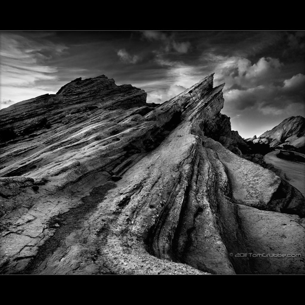
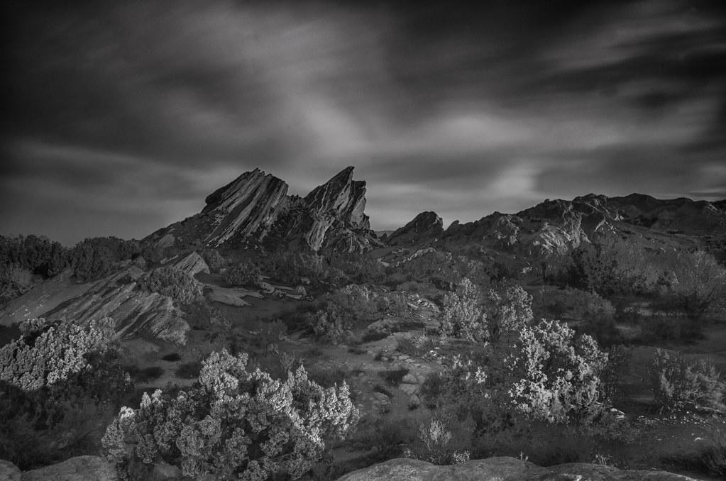
Vasquez Rocks B&W
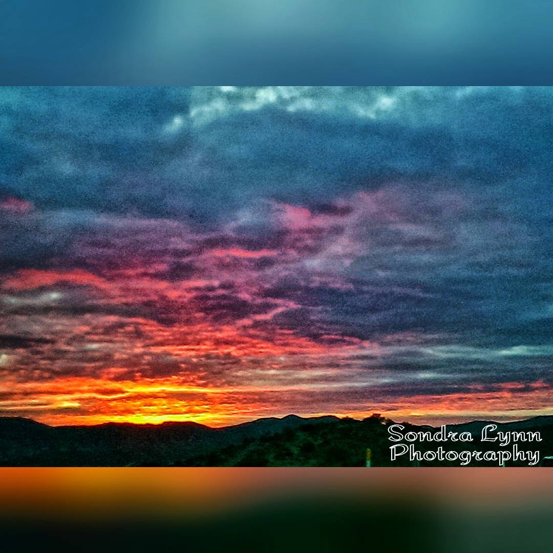
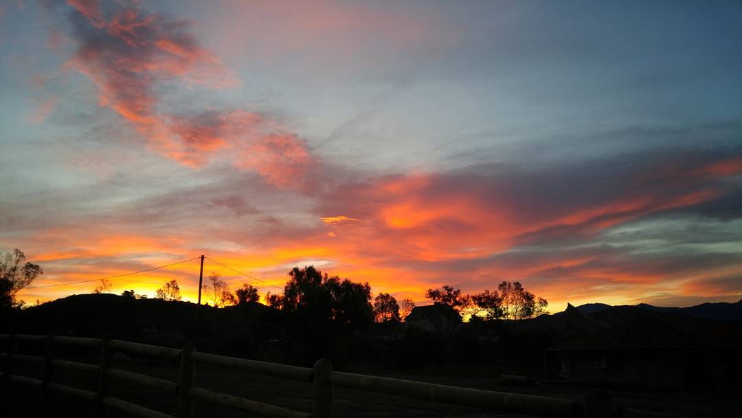
Beautiful sunset while driving down the 14 #Freeway toward #Newhall, #California #Photolife #Sondralynnphotography #sky #sunset #colors #clouds #views #cold #outside #America #beautiful #nature
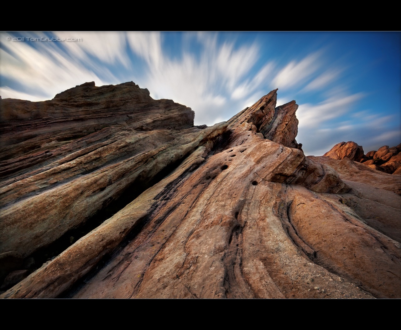
Vasquez Timescape

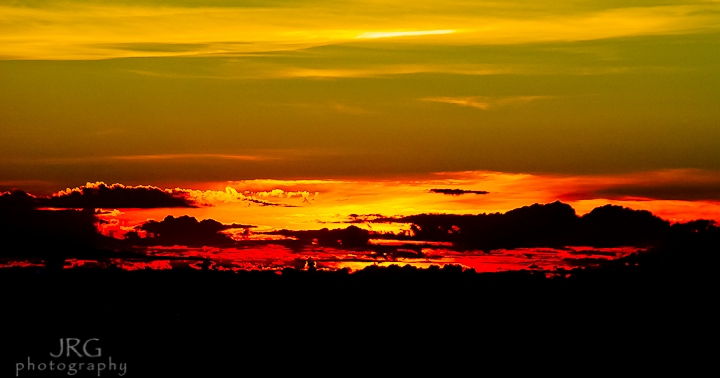
Carrizo Plain Sunset
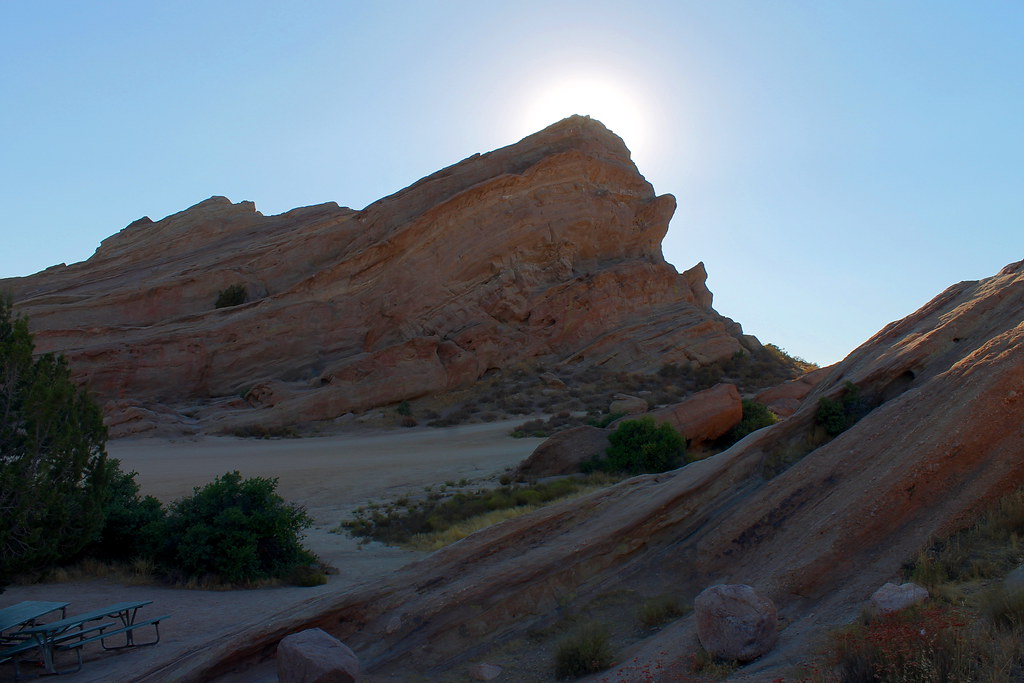
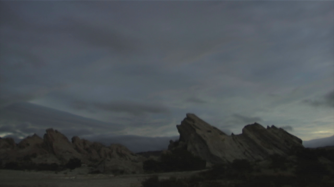
Vasquez Rocks
Sunset and TidyTip
The gorgeous sky above So Cal // A beautiful area where they have filmed many movies: #StarTrek #Flintstones #austinpowers // #iphone via #ClearCam + #blender + #snapseed + #PhotoForge2
Pct day 21
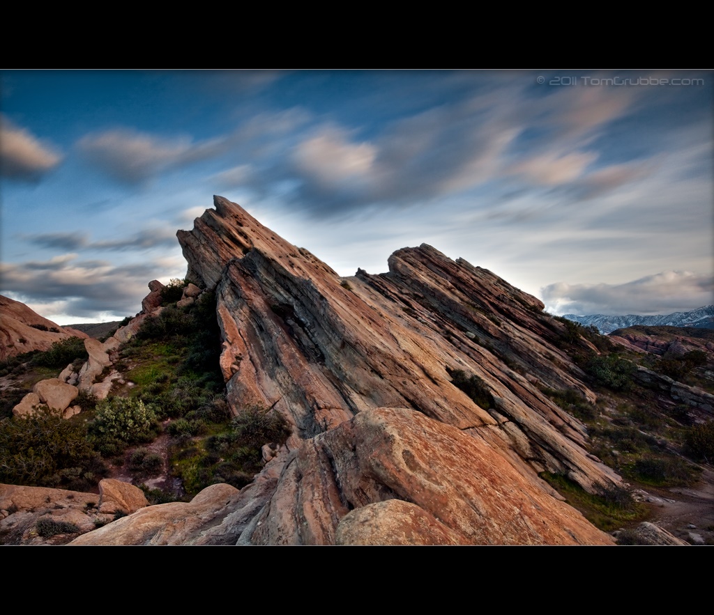
Vasquez Rocks
Awesome sunrise from last Sunday before our photo shoot. #beautiful

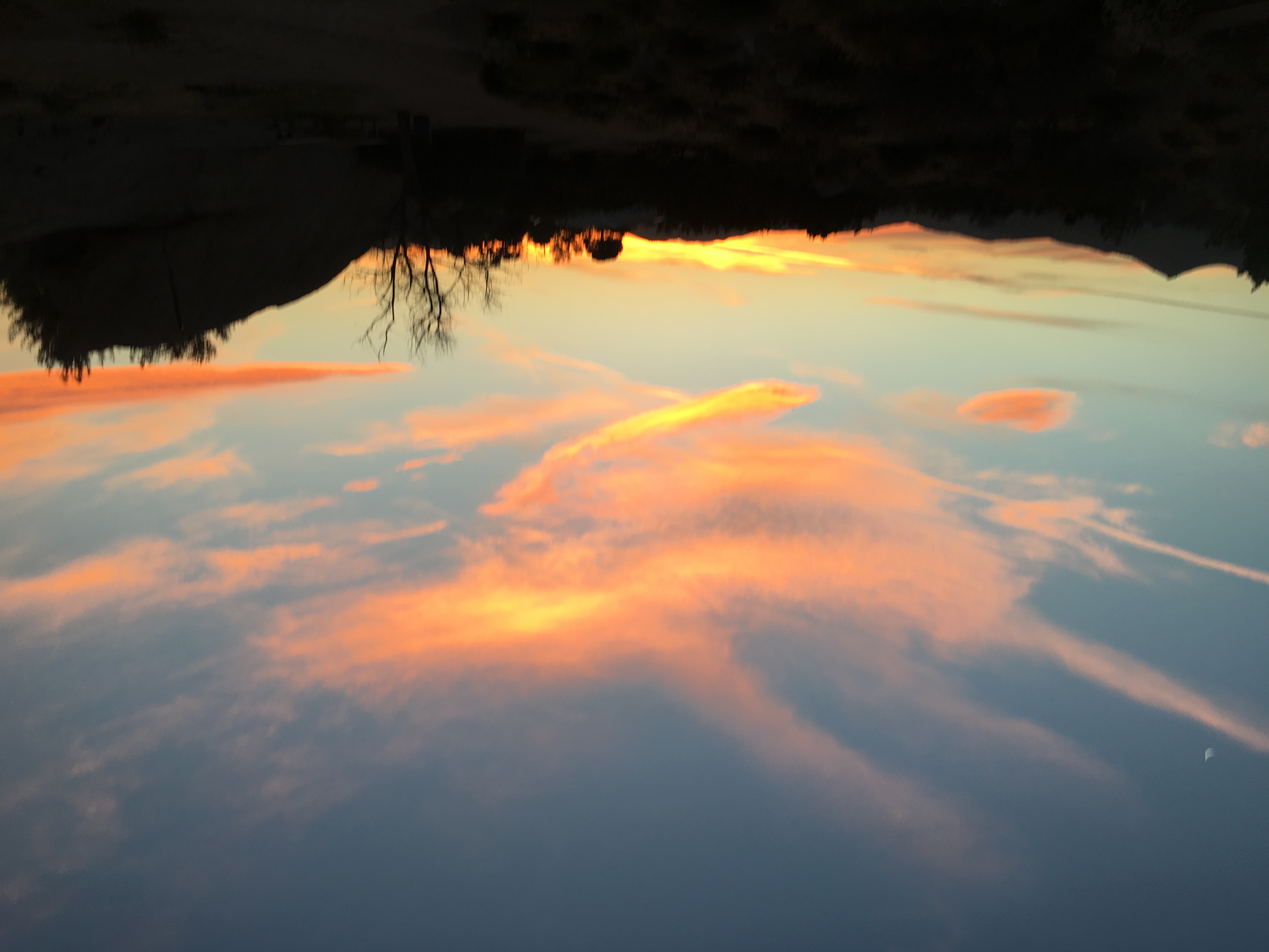
"Vasquez Sunset"
Pct day 21
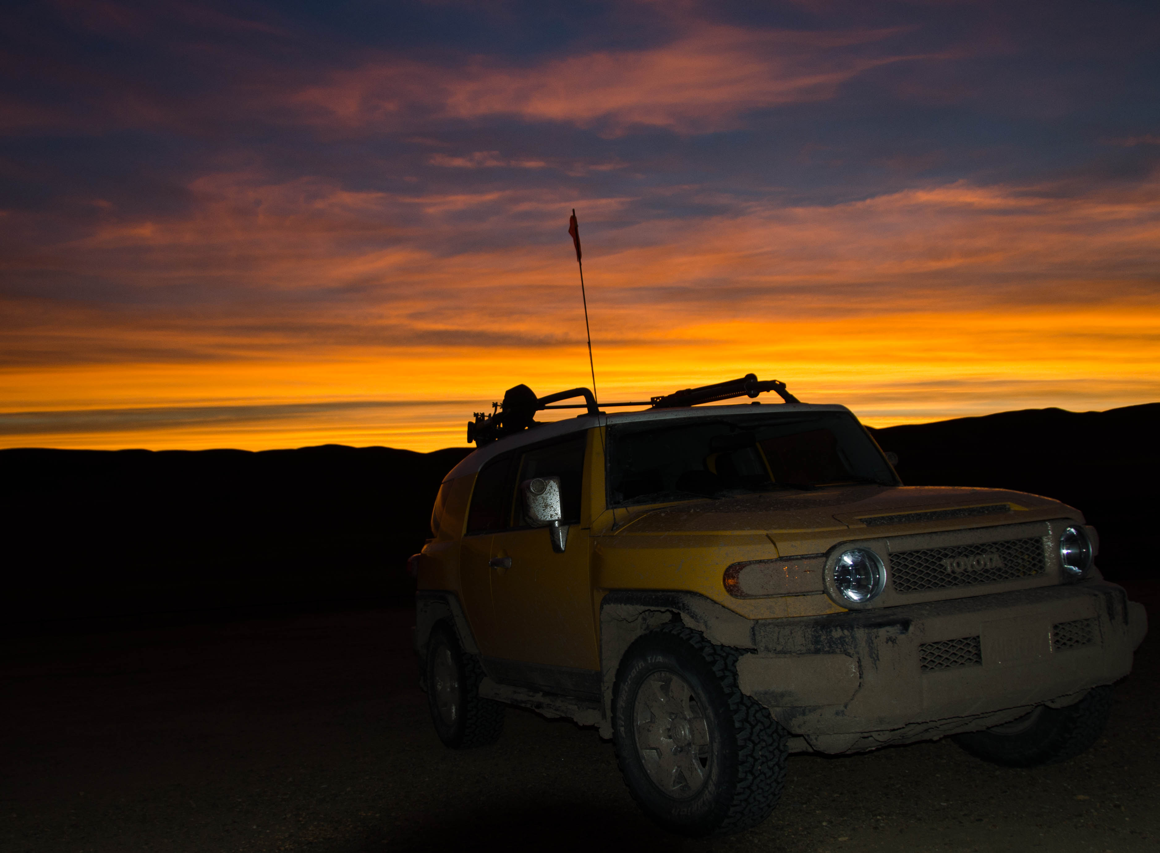
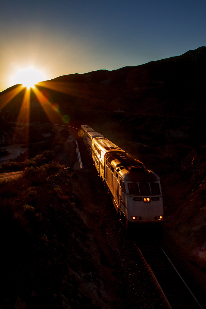
Fuego - Aqua Dulce

Hiking With Friends - Haskell Canyon

What Mattered

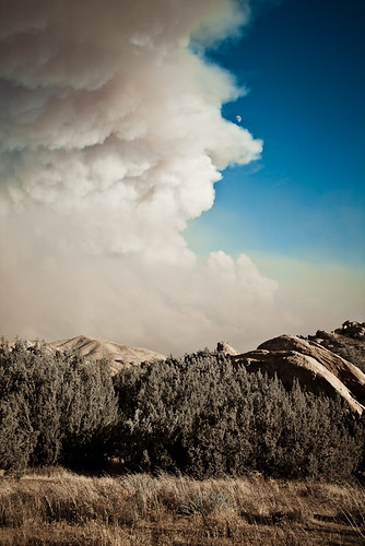
Crown Fire-4
Soledad Sunset
Crown Fire-11
Vasquez 66

Haskell Canyon Open Space Sunrise

Haskell Canyon Open Space Sunrise

Haskell Canyon Open Space Sunrise

Haskell Canyon Open Space Sunrise

Haskell Canyon Open Space Sunrise
vasquez sunrise

Haskell Canyon Open Space Sunrise

Sunrise at Emerald Bay

Haskell Canyon Open Space Sunrise

Sunrise Hike at Towsley Canyon

Haskell Canyon Open Space Sunrise

Sunrise Hike at Towsley Canyon

Sunrise Hike at Towsley Canyon

Sunrise Hike at Towsley Canyon

Sunrise Hike at Towsley Canyon

Sunrise Hike at Towsley Canyon

Sunrise Hike at Towsley Canyon

Sunrise Hike at Towsley Canyon
Agua Dulce, CA, USA Karte
Suchen Sie einen anderen Ort
Orte in Agua Dulce, CA, USA
Nahe Plätze
Santa Clarita, Kalifornien, USA
Vasquez Rocks Natural Area Park, Escondido Canyon Rd, Agua Dulce, CA, USA
Castlehaven Rd, Agua Dulce, CA, USA
Camino Del Sol, Santa Clarita, CA, USA
Sierra Hwy, Santa Clarita, CA, USA
Valley Sage Rd, Acton, CA, USA
Anthony Rd, Agua Dulce, CA, USA
Summit Knoll Rd, Agua Dulce, CA, USA
Summit Knoll Rd, Agua Dulce, CA, USA
Pales Rd, Agua Dulce, CA, USA
Valley Sage Rd, Acton, CA, USA
Hierba Rd, Agua Dulce, CA, USA
Wallace Canyon Rd, Santa Clarita, CA, USA
Ranchitos Dr, Acton, CA, USA
Sierra Hwy, Santa Clarita, CA, USA
Valley Sage Rd, Acton, CA, USA
Sierra Hwy, Santa Clarita, CA, USA
Bouquet Canyon Rd, Santa Clarita, CA, USA
Bouquet Canyon Rd, Santa Clarita, CA, USA
Shannon Valley Rd, Acton, CA, USA
Letzte Suche
- W Granada St, Tampa, FL, USA Sonnenaufgang Sonnenuntergang Zeiten
- Jalapa, Oaxaca, Mexiko Sonnenaufgang Sonnenuntergang Zeiten
- Pykes Down, Ivybridge PL21 0BY, UK Sonnenaufgang Sonnenuntergang Zeiten
- Wuzhi Mountain, Wuzhishan City, China Sonnenaufgang Sonnenuntergang Zeiten
- Ehenbichl, Österreich Sonnenaufgang Sonnenuntergang Zeiten
- Bilohirsk Sonnenaufgang Sonnenuntergang Zeiten
- Nedre Storvollen, Kvaløysletta, Norwegen Sonnenaufgang Sonnenuntergang Zeiten
- Unnamed Road, Respublika Severnaya Osetiya — Alaniya, Russia Sonnenaufgang Sonnenuntergang Zeiten
- Herbage Dr, Gulfport, MS, USA Sonnenaufgang Sonnenuntergang Zeiten
- Pointe-au-Père, Rimouski, Québec, Kanada Sonnenaufgang Sonnenuntergang Zeiten