Adams County, Washington, USA Sonnenaufgang Sonnenuntergang Zeiten
Location: USA > Washington >
Zeitzone:
America/Los_Angeles
Ortszeit:
2024-04-19 17:10:32
Länge:
-118.51098
Breite:
46.9272238
Sonnenaufgang Heute:
05:55:09 AM
Sonnenuntergang Heute:
07:50:20 PM
Tageslänge heute:
13h 55m 11s
Sonnenaufgang morgen:
05:53:24 AM
Sonnenuntergang Morgen:
07:51:42 PM
Tageslänge von morgen:
13h 58m 18s
Alle Termine anzeigen
| Datum | Sonnenaufgang | Sonnenuntergang | Tageslänge |
|---|---|---|---|
| 2024-01-01 | 07:39:24 AM | 04:16:25 PM | 8h 37m 1s |
| 2024-01-02 | 07:39:21 AM | 04:17:24 PM | 8h 38m 3s |
| 2024-01-03 | 07:39:15 AM | 04:18:25 PM | 8h 39m 10s |
| 2024-01-04 | 07:39:06 AM | 04:19:28 PM | 8h 40m 22s |
| 2024-01-05 | 07:38:55 AM | 04:20:33 PM | 8h 41m 38s |
| 2024-01-06 | 07:38:41 AM | 04:21:39 PM | 8h 42m 58s |
| 2024-01-07 | 07:38:23 AM | 04:22:48 PM | 8h 44m 25s |
| 2024-01-08 | 07:38:04 AM | 04:23:58 PM | 8h 45m 54s |
| 2024-01-09 | 07:37:41 AM | 04:25:10 PM | 8h 47m 29s |
| 2024-01-10 | 07:37:16 AM | 04:26:23 PM | 8h 49m 7s |
| 2024-01-11 | 07:36:48 AM | 04:27:38 PM | 8h 50m 50s |
| 2024-01-12 | 07:36:17 AM | 04:28:54 PM | 8h 52m 37s |
| 2024-01-13 | 07:35:44 AM | 04:30:12 PM | 8h 54m 28s |
| 2024-01-14 | 07:35:08 AM | 04:31:31 PM | 8h 56m 23s |
| 2024-01-15 | 07:34:30 AM | 04:32:51 PM | 8h 58m 21s |
| 2024-01-16 | 07:33:49 AM | 04:34:12 PM | 9h 0m 23s |
| 2024-01-17 | 07:33:05 AM | 04:35:35 PM | 9h 2m 30s |
| 2024-01-18 | 07:32:20 AM | 04:36:58 PM | 9h 4m 38s |
| 2024-01-19 | 07:31:31 AM | 04:38:23 PM | 9h 6m 52s |
| 2024-01-20 | 07:30:41 AM | 04:39:48 PM | 9h 9m 7s |
| 2024-01-21 | 07:29:47 AM | 04:41:14 PM | 9h 11m 27s |
| 2024-01-22 | 07:28:52 AM | 04:42:41 PM | 9h 13m 49s |
| 2024-01-23 | 07:27:54 AM | 04:44:09 PM | 9h 16m 15s |
| 2024-01-24 | 07:26:54 AM | 04:45:37 PM | 9h 18m 43s |
| 2024-01-25 | 07:25:52 AM | 04:47:06 PM | 9h 21m 14s |
| 2024-01-26 | 07:24:48 AM | 04:48:35 PM | 9h 23m 47s |
| 2024-01-27 | 07:23:42 AM | 04:50:05 PM | 9h 26m 23s |
| 2024-01-28 | 07:22:33 AM | 04:51:36 PM | 9h 29m 3s |
| 2024-01-29 | 07:21:23 AM | 04:53:07 PM | 9h 31m 44s |
| 2024-01-30 | 07:20:11 AM | 04:54:38 PM | 9h 34m 27s |
| 2024-01-31 | 07:18:56 AM | 04:56:09 PM | 9h 37m 13s |
| 2024-02-01 | 07:17:40 AM | 04:57:41 PM | 9h 40m 1s |
| 2024-02-02 | 07:16:22 AM | 04:59:13 PM | 9h 42m 51s |
| 2024-02-03 | 07:15:02 AM | 05:00:45 PM | 9h 45m 43s |
| 2024-02-04 | 07:13:41 AM | 05:02:17 PM | 9h 48m 36s |
| 2024-02-05 | 07:12:18 AM | 05:03:49 PM | 9h 51m 31s |
| 2024-02-06 | 07:10:53 AM | 05:05:22 PM | 9h 54m 29s |
| 2024-02-07 | 07:09:26 AM | 05:06:54 PM | 9h 57m 28s |
| 2024-02-08 | 07:07:58 AM | 05:08:26 PM | 10h 0m 28s |
| 2024-02-09 | 07:06:29 AM | 05:09:58 PM | 10h 3m 29s |
| 2024-02-10 | 07:04:57 AM | 05:11:31 PM | 10h 6m 34s |
| 2024-02-11 | 07:03:25 AM | 05:13:03 PM | 10h 9m 38s |
| 2024-02-12 | 07:01:51 AM | 05:14:35 PM | 10h 12m 44s |
| 2024-02-13 | 07:00:16 AM | 05:16:07 PM | 10h 15m 51s |
| 2024-02-14 | 06:58:39 AM | 05:17:38 PM | 10h 18m 59s |
| 2024-02-15 | 06:57:01 AM | 05:19:10 PM | 10h 22m 9s |
| 2024-02-16 | 06:55:22 AM | 05:20:41 PM | 10h 25m 19s |
| 2024-02-17 | 06:53:42 AM | 05:22:13 PM | 10h 28m 31s |
| 2024-02-18 | 06:52:00 AM | 05:23:43 PM | 10h 31m 43s |
| 2024-02-19 | 06:50:18 AM | 05:25:14 PM | 10h 34m 56s |
| 2024-02-20 | 06:48:34 AM | 05:26:45 PM | 10h 38m 11s |
| 2024-02-21 | 06:46:49 AM | 05:28:15 PM | 10h 41m 26s |
| 2024-02-22 | 06:45:04 AM | 05:29:45 PM | 10h 44m 41s |
| 2024-02-23 | 06:43:17 AM | 05:31:14 PM | 10h 47m 57s |
| 2024-02-24 | 06:41:29 AM | 05:32:44 PM | 10h 51m 15s |
| 2024-02-25 | 06:39:41 AM | 05:34:13 PM | 10h 54m 32s |
| 2024-02-26 | 06:37:52 AM | 05:35:42 PM | 10h 57m 50s |
| 2024-02-27 | 06:36:02 AM | 05:37:10 PM | 11h 1m 8s |
| 2024-02-28 | 06:34:11 AM | 05:38:39 PM | 11h 4m 28s |
| 2024-02-29 | 06:32:19 AM | 05:40:07 PM | 11h 7m 48s |
| 2024-03-01 | 06:30:27 AM | 05:41:35 PM | 11h 11m 8s |
| 2024-03-02 | 06:28:34 AM | 05:43:02 PM | 11h 14m 28s |
| 2024-03-03 | 06:26:40 AM | 05:44:29 PM | 11h 17m 49s |
| 2024-03-04 | 06:24:46 AM | 05:45:56 PM | 11h 21m 10s |
| 2024-03-05 | 06:22:51 AM | 05:47:23 PM | 11h 24m 32s |
| 2024-03-06 | 06:20:56 AM | 05:48:49 PM | 11h 27m 53s |
| 2024-03-07 | 06:19:00 AM | 05:50:15 PM | 11h 31m 15s |
| 2024-03-08 | 06:17:04 AM | 05:51:41 PM | 11h 34m 37s |
| 2024-03-09 | 06:15:07 AM | 05:53:07 PM | 11h 38m 0s |
| 2024-03-10 | 07:13:15 AM | 06:54:29 PM | 11h 41m 14s |
| 2024-03-11 | 07:11:18 AM | 06:55:54 PM | 11h 44m 36s |
| 2024-03-12 | 07:09:20 AM | 06:57:19 PM | 11h 47m 59s |
| 2024-03-13 | 07:07:22 AM | 06:58:44 PM | 11h 51m 22s |
| 2024-03-14 | 07:05:24 AM | 07:00:08 PM | 11h 54m 44s |
| 2024-03-15 | 07:03:25 AM | 07:01:33 PM | 11h 58m 8s |
| 2024-03-16 | 07:01:26 AM | 07:02:57 PM | 12h 1m 31s |
| 2024-03-17 | 06:59:27 AM | 07:04:21 PM | 12h 4m 54s |
| 2024-03-18 | 06:57:28 AM | 07:05:45 PM | 12h 8m 17s |
| 2024-03-19 | 06:55:29 AM | 07:07:09 PM | 12h 11m 40s |
| 2024-03-20 | 06:53:30 AM | 07:08:32 PM | 12h 15m 2s |
| 2024-03-21 | 06:51:30 AM | 07:09:56 PM | 12h 18m 26s |
| 2024-03-22 | 06:49:31 AM | 07:11:19 PM | 12h 21m 48s |
| 2024-03-23 | 06:47:32 AM | 07:12:42 PM | 12h 25m 10s |
| 2024-03-24 | 06:45:32 AM | 07:14:05 PM | 12h 28m 33s |
| 2024-03-25 | 06:43:33 AM | 07:15:28 PM | 12h 31m 55s |
| 2024-03-26 | 06:41:34 AM | 07:16:51 PM | 12h 35m 17s |
| 2024-03-27 | 06:39:35 AM | 07:18:14 PM | 12h 38m 39s |
| 2024-03-28 | 06:37:36 AM | 07:19:37 PM | 12h 42m 1s |
| 2024-03-29 | 06:35:38 AM | 07:20:59 PM | 12h 45m 21s |
| 2024-03-30 | 06:33:39 AM | 07:22:22 PM | 12h 48m 43s |
| 2024-03-31 | 06:31:41 AM | 07:23:44 PM | 12h 52m 3s |
| 2024-04-01 | 06:29:43 AM | 07:25:07 PM | 12h 55m 24s |
| 2024-04-02 | 06:27:46 AM | 07:26:30 PM | 12h 58m 44s |
| 2024-04-03 | 06:25:49 AM | 07:27:52 PM | 13h 2m 3s |
| 2024-04-04 | 06:23:52 AM | 07:29:14 PM | 13h 5m 22s |
| 2024-04-05 | 06:21:56 AM | 07:30:37 PM | 13h 8m 41s |
| 2024-04-06 | 06:20:00 AM | 07:31:59 PM | 13h 11m 59s |
| 2024-04-07 | 06:18:04 AM | 07:33:22 PM | 13h 15m 18s |
| 2024-04-08 | 06:16:09 AM | 07:34:44 PM | 13h 18m 35s |
| 2024-04-09 | 06:14:15 AM | 07:36:06 PM | 13h 21m 51s |
| 2024-04-10 | 06:12:21 AM | 07:37:29 PM | 13h 25m 8s |
| 2024-04-11 | 06:10:28 AM | 07:38:51 PM | 13h 28m 23s |
| 2024-04-12 | 06:08:36 AM | 07:40:14 PM | 13h 31m 38s |
| 2024-04-13 | 06:06:44 AM | 07:41:36 PM | 13h 34m 52s |
| 2024-04-14 | 06:04:53 AM | 07:42:58 PM | 13h 38m 5s |
| 2024-04-15 | 06:03:03 AM | 07:44:21 PM | 13h 41m 18s |
| 2024-04-16 | 06:01:13 AM | 07:45:43 PM | 13h 44m 30s |
| 2024-04-17 | 05:59:24 AM | 07:47:05 PM | 13h 47m 41s |
| 2024-04-18 | 05:57:36 AM | 07:48:27 PM | 13h 50m 51s |
| 2024-04-19 | 05:55:49 AM | 07:49:50 PM | 13h 54m 1s |
| 2024-04-20 | 05:54:03 AM | 07:51:12 PM | 13h 57m 9s |
| 2024-04-21 | 05:52:18 AM | 07:52:34 PM | 14h 0m 16s |
| 2024-04-22 | 05:50:34 AM | 07:53:56 PM | 14h 3m 22s |
| 2024-04-23 | 05:48:51 AM | 07:55:18 PM | 14h 6m 27s |
| 2024-04-24 | 05:47:09 AM | 07:56:39 PM | 14h 9m 30s |
| 2024-04-25 | 05:45:28 AM | 07:58:01 PM | 14h 12m 33s |
| 2024-04-26 | 05:43:48 AM | 07:59:22 PM | 14h 15m 34s |
| 2024-04-27 | 05:42:10 AM | 08:00:44 PM | 14h 18m 34s |
| 2024-04-28 | 05:40:32 AM | 08:02:05 PM | 14h 21m 33s |
| 2024-04-29 | 05:38:56 AM | 08:03:26 PM | 14h 24m 30s |
| 2024-04-30 | 05:37:22 AM | 08:04:47 PM | 14h 27m 25s |
| 2024-05-01 | 05:35:48 AM | 08:06:07 PM | 14h 30m 19s |
| 2024-05-02 | 05:34:16 AM | 08:07:27 PM | 14h 33m 11s |
| 2024-05-03 | 05:32:45 AM | 08:08:47 PM | 14h 36m 2s |
| 2024-05-04 | 05:31:16 AM | 08:10:07 PM | 14h 38m 51s |
| 2024-05-05 | 05:29:49 AM | 08:11:26 PM | 14h 41m 37s |
| 2024-05-06 | 05:28:22 AM | 08:12:45 PM | 14h 44m 23s |
| 2024-05-07 | 05:26:58 AM | 08:14:03 PM | 14h 47m 5s |
| 2024-05-08 | 05:25:35 AM | 08:15:21 PM | 14h 49m 46s |
| 2024-05-09 | 05:24:13 AM | 08:16:38 PM | 14h 52m 25s |
| 2024-05-10 | 05:22:54 AM | 08:17:55 PM | 14h 55m 1s |
| 2024-05-11 | 05:21:36 AM | 08:19:11 PM | 14h 57m 35s |
| 2024-05-12 | 05:20:20 AM | 08:20:27 PM | 15h 0m 7s |
| 2024-05-13 | 05:19:05 AM | 08:21:42 PM | 15h 2m 37s |
| 2024-05-14 | 05:17:53 AM | 08:22:56 PM | 15h 5m 3s |
| 2024-05-15 | 05:16:42 AM | 08:24:10 PM | 15h 7m 28s |
| 2024-05-16 | 05:15:34 AM | 08:25:22 PM | 15h 9m 48s |
| 2024-05-17 | 05:14:27 AM | 08:26:34 PM | 15h 12m 7s |
| 2024-05-18 | 05:13:22 AM | 08:27:45 PM | 15h 14m 23s |
| 2024-05-19 | 05:12:19 AM | 08:28:55 PM | 15h 16m 36s |
| 2024-05-20 | 05:11:19 AM | 08:30:04 PM | 15h 18m 45s |
| 2024-05-21 | 05:10:20 AM | 08:31:12 PM | 15h 20m 52s |
| 2024-05-22 | 05:09:24 AM | 08:32:19 PM | 15h 22m 55s |
| 2024-05-23 | 05:08:30 AM | 08:33:24 PM | 15h 24m 54s |
| 2024-05-24 | 05:07:38 AM | 08:34:29 PM | 15h 26m 51s |
| 2024-05-25 | 05:06:48 AM | 08:35:32 PM | 15h 28m 44s |
| 2024-05-26 | 05:06:00 AM | 08:36:34 PM | 15h 30m 34s |
| 2024-05-27 | 05:05:15 AM | 08:37:34 PM | 15h 32m 19s |
| 2024-05-28 | 05:04:32 AM | 08:38:33 PM | 15h 34m 1s |
| 2024-05-29 | 05:03:52 AM | 08:39:31 PM | 15h 35m 39s |
| 2024-05-30 | 05:03:14 AM | 08:40:27 PM | 15h 37m 13s |
| 2024-05-31 | 05:02:38 AM | 08:41:21 PM | 15h 38m 43s |
| 2024-06-01 | 05:02:04 AM | 08:42:14 PM | 15h 40m 10s |
| 2024-06-02 | 05:01:34 AM | 08:43:05 PM | 15h 41m 31s |
| 2024-06-03 | 05:01:05 AM | 08:43:54 PM | 15h 42m 49s |
| 2024-06-04 | 05:00:39 AM | 08:44:42 PM | 15h 44m 3s |
| 2024-06-05 | 05:00:15 AM | 08:45:27 PM | 15h 45m 12s |
| 2024-06-06 | 04:59:54 AM | 08:46:11 PM | 15h 46m 17s |
| 2024-06-07 | 04:59:36 AM | 08:46:53 PM | 15h 47m 17s |
| 2024-06-08 | 04:59:20 AM | 08:47:33 PM | 15h 48m 13s |
| 2024-06-09 | 04:59:06 AM | 08:48:10 PM | 15h 49m 4s |
| 2024-06-10 | 04:58:55 AM | 08:48:46 PM | 15h 49m 51s |
| 2024-06-11 | 04:58:47 AM | 08:49:19 PM | 15h 50m 32s |
| 2024-06-12 | 04:58:41 AM | 08:49:50 PM | 15h 51m 9s |
| 2024-06-13 | 04:58:37 AM | 08:50:19 PM | 15h 51m 42s |
| 2024-06-14 | 04:58:36 AM | 08:50:46 PM | 15h 52m 10s |
| 2024-06-15 | 04:58:38 AM | 08:51:11 PM | 15h 52m 33s |
| 2024-06-16 | 04:58:42 AM | 08:51:33 PM | 15h 52m 51s |
| 2024-06-17 | 04:58:48 AM | 08:51:52 PM | 15h 53m 4s |
| 2024-06-18 | 04:58:57 AM | 08:52:10 PM | 15h 53m 13s |
| 2024-06-19 | 04:59:08 AM | 08:52:24 PM | 15h 53m 16s |
| 2024-06-20 | 04:59:22 AM | 08:52:37 PM | 15h 53m 15s |
| 2024-06-21 | 04:59:38 AM | 08:52:47 PM | 15h 53m 9s |
| 2024-06-22 | 04:59:57 AM | 08:52:54 PM | 15h 52m 57s |
| 2024-06-23 | 05:00:17 AM | 08:52:59 PM | 15h 52m 42s |
| 2024-06-24 | 05:00:40 AM | 08:53:02 PM | 15h 52m 22s |
| 2024-06-25 | 05:01:06 AM | 08:53:01 PM | 15h 51m 55s |
| 2024-06-26 | 05:01:33 AM | 08:52:59 PM | 15h 51m 26s |
| 2024-06-27 | 05:02:03 AM | 08:52:54 PM | 15h 50m 51s |
| 2024-06-28 | 05:02:34 AM | 08:52:46 PM | 15h 50m 12s |
| 2024-06-29 | 05:03:08 AM | 08:52:35 PM | 15h 49m 27s |
| 2024-06-30 | 05:03:44 AM | 08:52:23 PM | 15h 48m 39s |
| 2024-07-01 | 05:04:22 AM | 08:52:07 PM | 15h 47m 45s |
| 2024-07-02 | 05:05:02 AM | 08:51:49 PM | 15h 46m 47s |
| 2024-07-03 | 05:05:44 AM | 08:51:29 PM | 15h 45m 45s |
| 2024-07-04 | 05:06:27 AM | 08:51:06 PM | 15h 44m 39s |
| 2024-07-05 | 05:07:13 AM | 08:50:40 PM | 15h 43m 27s |
| 2024-07-06 | 05:08:00 AM | 08:50:12 PM | 15h 42m 12s |
| 2024-07-07 | 05:08:49 AM | 08:49:41 PM | 15h 40m 52s |
| 2024-07-08 | 05:09:39 AM | 08:49:08 PM | 15h 39m 29s |
| 2024-07-09 | 05:10:31 AM | 08:48:33 PM | 15h 38m 2s |
| 2024-07-10 | 05:11:25 AM | 08:47:55 PM | 15h 36m 30s |
| 2024-07-11 | 05:12:20 AM | 08:47:14 PM | 15h 34m 54s |
| 2024-07-12 | 05:13:17 AM | 08:46:32 PM | 15h 33m 15s |
| 2024-07-13 | 05:14:15 AM | 08:45:46 PM | 15h 31m 31s |
| 2024-07-14 | 05:15:14 AM | 08:44:59 PM | 15h 29m 45s |
| 2024-07-15 | 05:16:15 AM | 08:44:09 PM | 15h 27m 54s |
| 2024-07-16 | 05:17:16 AM | 08:43:17 PM | 15h 26m 1s |
| 2024-07-17 | 05:18:19 AM | 08:42:23 PM | 15h 24m 4s |
| 2024-07-18 | 05:19:23 AM | 08:41:27 PM | 15h 22m 4s |
| 2024-07-19 | 05:20:28 AM | 08:40:28 PM | 15h 20m 0s |
| 2024-07-20 | 05:21:34 AM | 08:39:27 PM | 15h 17m 53s |
| 2024-07-21 | 05:22:41 AM | 08:38:25 PM | 15h 15m 44s |
| 2024-07-22 | 05:23:49 AM | 08:37:20 PM | 15h 13m 31s |
| 2024-07-23 | 05:24:58 AM | 08:36:13 PM | 15h 11m 15s |
| 2024-07-24 | 05:26:08 AM | 08:35:04 PM | 15h 8m 56s |
| 2024-07-25 | 05:27:18 AM | 08:33:53 PM | 15h 6m 35s |
| 2024-07-26 | 05:28:29 AM | 08:32:40 PM | 15h 4m 11s |
| 2024-07-27 | 05:29:41 AM | 08:31:26 PM | 15h 1m 45s |
| 2024-07-28 | 05:30:53 AM | 08:30:09 PM | 14h 59m 16s |
| 2024-07-29 | 05:32:06 AM | 08:28:51 PM | 14h 56m 45s |
| 2024-07-30 | 05:33:19 AM | 08:27:31 PM | 14h 54m 12s |
| 2024-07-31 | 05:34:33 AM | 08:26:09 PM | 14h 51m 36s |
| 2024-08-01 | 05:35:48 AM | 08:24:46 PM | 14h 48m 58s |
| 2024-08-02 | 05:37:02 AM | 08:23:21 PM | 14h 46m 19s |
| 2024-08-03 | 05:38:18 AM | 08:21:54 PM | 14h 43m 36s |
| 2024-08-04 | 05:39:33 AM | 08:20:26 PM | 14h 40m 53s |
| 2024-08-05 | 05:40:49 AM | 08:18:56 PM | 14h 38m 7s |
| 2024-08-06 | 05:42:05 AM | 08:17:25 PM | 14h 35m 20s |
| 2024-08-07 | 05:43:22 AM | 08:15:53 PM | 14h 32m 31s |
| 2024-08-08 | 05:44:38 AM | 08:14:19 PM | 14h 29m 41s |
| 2024-08-09 | 05:45:55 AM | 08:12:43 PM | 14h 26m 48s |
| 2024-08-10 | 05:47:12 AM | 08:11:07 PM | 14h 23m 55s |
| 2024-08-11 | 05:48:29 AM | 08:09:29 PM | 14h 21m 0s |
| 2024-08-12 | 05:49:47 AM | 08:07:49 PM | 14h 18m 2s |
| 2024-08-13 | 05:51:04 AM | 08:06:09 PM | 14h 15m 5s |
| 2024-08-14 | 05:52:22 AM | 08:04:27 PM | 14h 12m 5s |
| 2024-08-15 | 05:53:40 AM | 08:02:45 PM | 14h 9m 5s |
| 2024-08-16 | 05:54:57 AM | 08:01:01 PM | 14h 6m 4s |
| 2024-08-17 | 05:56:15 AM | 07:59:16 PM | 14h 3m 1s |
| 2024-08-18 | 05:57:33 AM | 07:57:30 PM | 13h 59m 57s |
| 2024-08-19 | 05:58:51 AM | 07:55:43 PM | 13h 56m 52s |
| 2024-08-20 | 06:00:09 AM | 07:53:55 PM | 13h 53m 46s |
| 2024-08-21 | 06:01:27 AM | 07:52:06 PM | 13h 50m 39s |
| 2024-08-22 | 06:02:45 AM | 07:50:17 PM | 13h 47m 32s |
| 2024-08-23 | 06:04:03 AM | 07:48:26 PM | 13h 44m 23s |
| 2024-08-24 | 06:05:21 AM | 07:46:35 PM | 13h 41m 14s |
| 2024-08-25 | 06:06:39 AM | 07:44:43 PM | 13h 38m 4s |
| 2024-08-26 | 06:07:56 AM | 07:42:50 PM | 13h 34m 54s |
| 2024-08-27 | 06:09:14 AM | 07:40:56 PM | 13h 31m 42s |
| 2024-08-28 | 06:10:32 AM | 07:39:02 PM | 13h 28m 30s |
| 2024-08-29 | 06:11:50 AM | 07:37:07 PM | 13h 25m 17s |
| 2024-08-30 | 06:13:08 AM | 07:35:12 PM | 13h 22m 4s |
| 2024-08-31 | 06:14:26 AM | 07:33:16 PM | 13h 18m 50s |
| 2024-09-01 | 06:15:43 AM | 07:31:19 PM | 13h 15m 36s |
| 2024-09-02 | 06:17:01 AM | 07:29:22 PM | 13h 12m 21s |
| 2024-09-03 | 06:18:19 AM | 07:27:24 PM | 13h 9m 5s |
| 2024-09-04 | 06:19:37 AM | 07:25:26 PM | 13h 5m 49s |
| 2024-09-05 | 06:20:54 AM | 07:23:28 PM | 13h 2m 34s |
| 2024-09-06 | 06:22:12 AM | 07:21:29 PM | 12h 59m 17s |
| 2024-09-07 | 06:23:30 AM | 07:19:30 PM | 12h 56m 0s |
| 2024-09-08 | 06:24:48 AM | 07:17:30 PM | 12h 52m 42s |
| 2024-09-09 | 06:26:05 AM | 07:15:30 PM | 12h 49m 25s |
| 2024-09-10 | 06:27:23 AM | 07:13:30 PM | 12h 46m 7s |
| 2024-09-11 | 06:28:41 AM | 07:11:30 PM | 12h 42m 49s |
| 2024-09-12 | 06:29:59 AM | 07:09:29 PM | 12h 39m 30s |
| 2024-09-13 | 06:31:17 AM | 07:07:29 PM | 12h 36m 12s |
| 2024-09-14 | 06:32:35 AM | 07:05:28 PM | 12h 32m 53s |
| 2024-09-15 | 06:33:53 AM | 07:03:27 PM | 12h 29m 34s |
| 2024-09-16 | 06:35:11 AM | 07:01:26 PM | 12h 26m 15s |
| 2024-09-17 | 06:36:29 AM | 06:59:25 PM | 12h 22m 56s |
| 2024-09-18 | 06:37:48 AM | 06:57:23 PM | 12h 19m 35s |
| 2024-09-19 | 06:39:06 AM | 06:55:22 PM | 12h 16m 16s |
| 2024-09-20 | 06:40:25 AM | 06:53:21 PM | 12h 12m 56s |
| 2024-09-21 | 06:41:44 AM | 06:51:20 PM | 12h 9m 36s |
| 2024-09-22 | 06:43:02 AM | 06:49:19 PM | 12h 6m 17s |
| 2024-09-23 | 06:44:22 AM | 06:47:18 PM | 12h 2m 56s |
| 2024-09-24 | 06:45:41 AM | 06:45:18 PM | 11h 59m 37s |
| 2024-09-25 | 06:47:00 AM | 06:43:17 PM | 11h 56m 17s |
| 2024-09-26 | 06:48:20 AM | 06:41:17 PM | 11h 52m 57s |
| 2024-09-27 | 06:49:40 AM | 06:39:17 PM | 11h 49m 37s |
| 2024-09-28 | 06:51:00 AM | 06:37:17 PM | 11h 46m 17s |
| 2024-09-29 | 06:52:20 AM | 06:35:18 PM | 11h 42m 58s |
| 2024-09-30 | 06:53:40 AM | 06:33:19 PM | 11h 39m 39s |
| 2024-10-01 | 06:55:01 AM | 06:31:20 PM | 11h 36m 19s |
| 2024-10-02 | 06:56:22 AM | 06:29:22 PM | 11h 33m 0s |
| 2024-10-03 | 06:57:43 AM | 06:27:24 PM | 11h 29m 41s |
| 2024-10-04 | 06:59:04 AM | 06:25:27 PM | 11h 26m 23s |
| 2024-10-05 | 07:00:26 AM | 06:23:30 PM | 11h 23m 4s |
| 2024-10-06 | 07:01:48 AM | 06:21:34 PM | 11h 19m 46s |
| 2024-10-07 | 07:03:10 AM | 06:19:38 PM | 11h 16m 28s |
| 2024-10-08 | 07:04:33 AM | 06:17:43 PM | 11h 13m 10s |
| 2024-10-09 | 07:05:56 AM | 06:15:48 PM | 11h 9m 52s |
| 2024-10-10 | 07:07:19 AM | 06:13:54 PM | 11h 6m 35s |
| 2024-10-11 | 07:08:42 AM | 06:12:01 PM | 11h 3m 19s |
| 2024-10-12 | 07:10:06 AM | 06:10:09 PM | 11h 0m 3s |
| 2024-10-13 | 07:11:30 AM | 06:08:17 PM | 10h 56m 47s |
| 2024-10-14 | 07:12:55 AM | 06:06:26 PM | 10h 53m 31s |
| 2024-10-15 | 07:14:19 AM | 06:04:36 PM | 10h 50m 17s |
| 2024-10-16 | 07:15:44 AM | 06:02:47 PM | 10h 47m 3s |
| 2024-10-17 | 07:17:09 AM | 06:00:59 PM | 10h 43m 50s |
| 2024-10-18 | 07:18:35 AM | 05:59:12 PM | 10h 40m 37s |
| 2024-10-19 | 07:20:01 AM | 05:57:26 PM | 10h 37m 25s |
| 2024-10-20 | 07:21:27 AM | 05:55:40 PM | 10h 34m 13s |
| 2024-10-21 | 07:22:53 AM | 05:53:56 PM | 10h 31m 3s |
| 2024-10-22 | 07:24:20 AM | 05:52:13 PM | 10h 27m 53s |
| 2024-10-23 | 07:25:47 AM | 05:50:31 PM | 10h 24m 44s |
| 2024-10-24 | 07:27:14 AM | 05:48:51 PM | 10h 21m 37s |
| 2024-10-25 | 07:28:42 AM | 05:47:11 PM | 10h 18m 29s |
| 2024-10-26 | 07:30:09 AM | 05:45:33 PM | 10h 15m 24s |
| 2024-10-27 | 07:31:37 AM | 05:43:56 PM | 10h 12m 19s |
| 2024-10-28 | 07:33:05 AM | 05:42:21 PM | 10h 9m 16s |
| 2024-10-29 | 07:34:33 AM | 05:40:47 PM | 10h 6m 14s |
| 2024-10-30 | 07:36:01 AM | 05:39:14 PM | 10h 3m 13s |
| 2024-10-31 | 07:37:30 AM | 05:37:43 PM | 10h 0m 13s |
| 2024-11-01 | 07:38:58 AM | 05:36:13 PM | 9h 57m 15s |
| 2024-11-02 | 07:40:27 AM | 05:34:45 PM | 9h 54m 18s |
| 2024-11-03 | 06:41:59 AM | 04:33:15 PM | 9h 51m 16s |
| 2024-11-04 | 06:43:28 AM | 04:31:50 PM | 9h 48m 22s |
| 2024-11-05 | 06:44:56 AM | 04:30:27 PM | 9h 45m 31s |
| 2024-11-06 | 06:46:25 AM | 04:29:05 PM | 9h 42m 40s |
| 2024-11-07 | 06:47:53 AM | 04:27:46 PM | 9h 39m 53s |
| 2024-11-08 | 06:49:22 AM | 04:26:28 PM | 9h 37m 6s |
| 2024-11-09 | 06:50:50 AM | 04:25:12 PM | 9h 34m 22s |
| 2024-11-10 | 06:52:18 AM | 04:23:58 PM | 9h 31m 40s |
| 2024-11-11 | 06:53:45 AM | 04:22:46 PM | 9h 29m 1s |
| 2024-11-12 | 06:55:12 AM | 04:21:36 PM | 9h 26m 24s |
| 2024-11-13 | 06:56:39 AM | 04:20:28 PM | 9h 23m 49s |
| 2024-11-14 | 06:58:06 AM | 04:19:23 PM | 9h 21m 17s |
| 2024-11-15 | 06:59:32 AM | 04:18:19 PM | 9h 18m 47s |
| 2024-11-16 | 07:00:57 AM | 04:17:17 PM | 9h 16m 20s |
| 2024-11-17 | 07:02:22 AM | 04:16:18 PM | 9h 13m 56s |
| 2024-11-18 | 07:03:47 AM | 04:15:21 PM | 9h 11m 34s |
| 2024-11-19 | 07:05:10 AM | 04:14:27 PM | 9h 9m 17s |
| 2024-11-20 | 07:06:33 AM | 04:13:34 PM | 9h 7m 1s |
| 2024-11-21 | 07:07:55 AM | 04:12:44 PM | 9h 4m 49s |
| 2024-11-22 | 07:09:17 AM | 04:11:57 PM | 9h 2m 40s |
| 2024-11-23 | 07:10:37 AM | 04:11:12 PM | 9h 0m 35s |
| 2024-11-24 | 07:11:56 AM | 04:10:29 PM | 8h 58m 33s |
| 2024-11-25 | 07:13:15 AM | 04:09:49 PM | 8h 56m 34s |
| 2024-11-26 | 07:14:32 AM | 04:09:12 PM | 8h 54m 40s |
| 2024-11-27 | 07:15:48 AM | 04:08:37 PM | 8h 52m 49s |
| 2024-11-28 | 07:17:02 AM | 04:08:05 PM | 8h 51m 3s |
| 2024-11-29 | 07:18:16 AM | 04:07:36 PM | 8h 49m 20s |
| 2024-11-30 | 07:19:27 AM | 04:07:09 PM | 8h 47m 42s |
| 2024-12-01 | 07:20:38 AM | 04:06:45 PM | 8h 46m 7s |
| 2024-12-02 | 07:21:47 AM | 04:06:24 PM | 8h 44m 37s |
| 2024-12-03 | 07:22:54 AM | 04:06:05 PM | 8h 43m 11s |
| 2024-12-04 | 07:24:00 AM | 04:05:49 PM | 8h 41m 49s |
| 2024-12-05 | 07:25:03 AM | 04:05:37 PM | 8h 40m 34s |
| 2024-12-06 | 07:26:05 AM | 04:05:26 PM | 8h 39m 21s |
| 2024-12-07 | 07:27:06 AM | 04:05:19 PM | 8h 38m 13s |
| 2024-12-08 | 07:28:04 AM | 04:05:15 PM | 8h 37m 11s |
| 2024-12-09 | 07:29:00 AM | 04:05:13 PM | 8h 36m 13s |
| 2024-12-10 | 07:29:54 AM | 04:05:15 PM | 8h 35m 21s |
| 2024-12-11 | 07:30:46 AM | 04:05:19 PM | 8h 34m 33s |
| 2024-12-12 | 07:31:36 AM | 04:05:26 PM | 8h 33m 50s |
| 2024-12-13 | 07:32:23 AM | 04:05:36 PM | 8h 33m 13s |
| 2024-12-14 | 07:33:08 AM | 04:05:48 PM | 8h 32m 40s |
| 2024-12-15 | 07:33:51 AM | 04:06:04 PM | 8h 32m 13s |
| 2024-12-16 | 07:34:32 AM | 04:06:22 PM | 8h 31m 50s |
| 2024-12-17 | 07:35:10 AM | 04:06:43 PM | 8h 31m 33s |
| 2024-12-18 | 07:35:45 AM | 04:07:07 PM | 8h 31m 22s |
| 2024-12-19 | 07:36:18 AM | 04:07:33 PM | 8h 31m 15s |
| 2024-12-20 | 07:36:49 AM | 04:08:03 PM | 8h 31m 14s |
| 2024-12-21 | 07:37:16 AM | 04:08:35 PM | 8h 31m 19s |
| 2024-12-22 | 07:37:42 AM | 04:09:09 PM | 8h 31m 27s |
| 2024-12-23 | 07:38:04 AM | 04:09:46 PM | 8h 31m 42s |
| 2024-12-24 | 07:38:24 AM | 04:10:26 PM | 8h 32m 2s |
| 2024-12-25 | 07:38:41 AM | 04:11:08 PM | 8h 32m 27s |
| 2024-12-26 | 07:38:55 AM | 04:11:53 PM | 8h 32m 58s |
| 2024-12-27 | 07:39:06 AM | 04:12:40 PM | 8h 33m 34s |
| 2024-12-28 | 07:39:15 AM | 04:13:29 PM | 8h 34m 14s |
| 2024-12-29 | 07:39:21 AM | 04:14:21 PM | 8h 35m 0s |
| 2024-12-30 | 07:39:24 AM | 04:15:15 PM | 8h 35m 51s |
Fotos
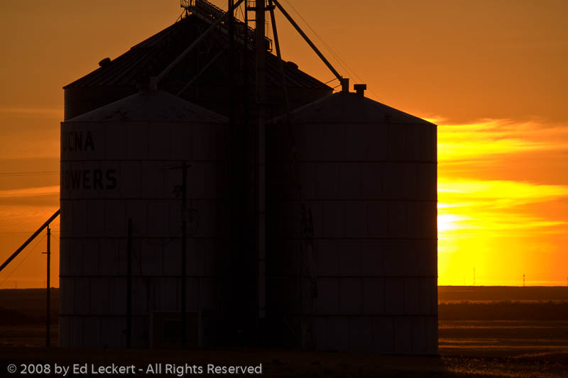
Grain Elevator at Sunset, The Palouse, Washington
Lind Sunset_1055
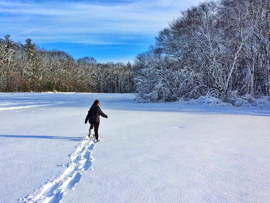
WooHoo! Finally got out there with the snowshoes. Carol breaking trail. #snowshoe #tubbs #winterwonderland
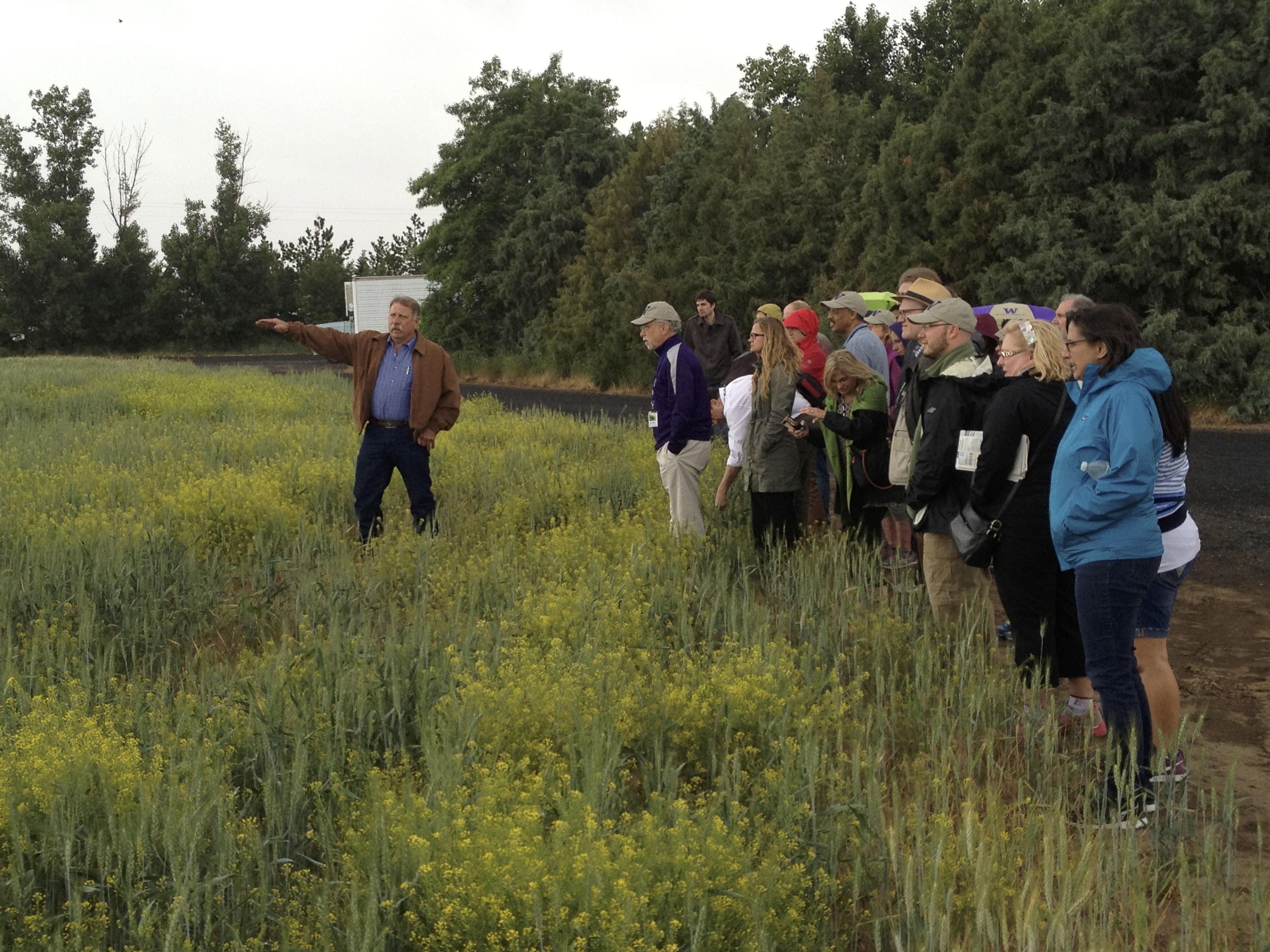
Farm Visit
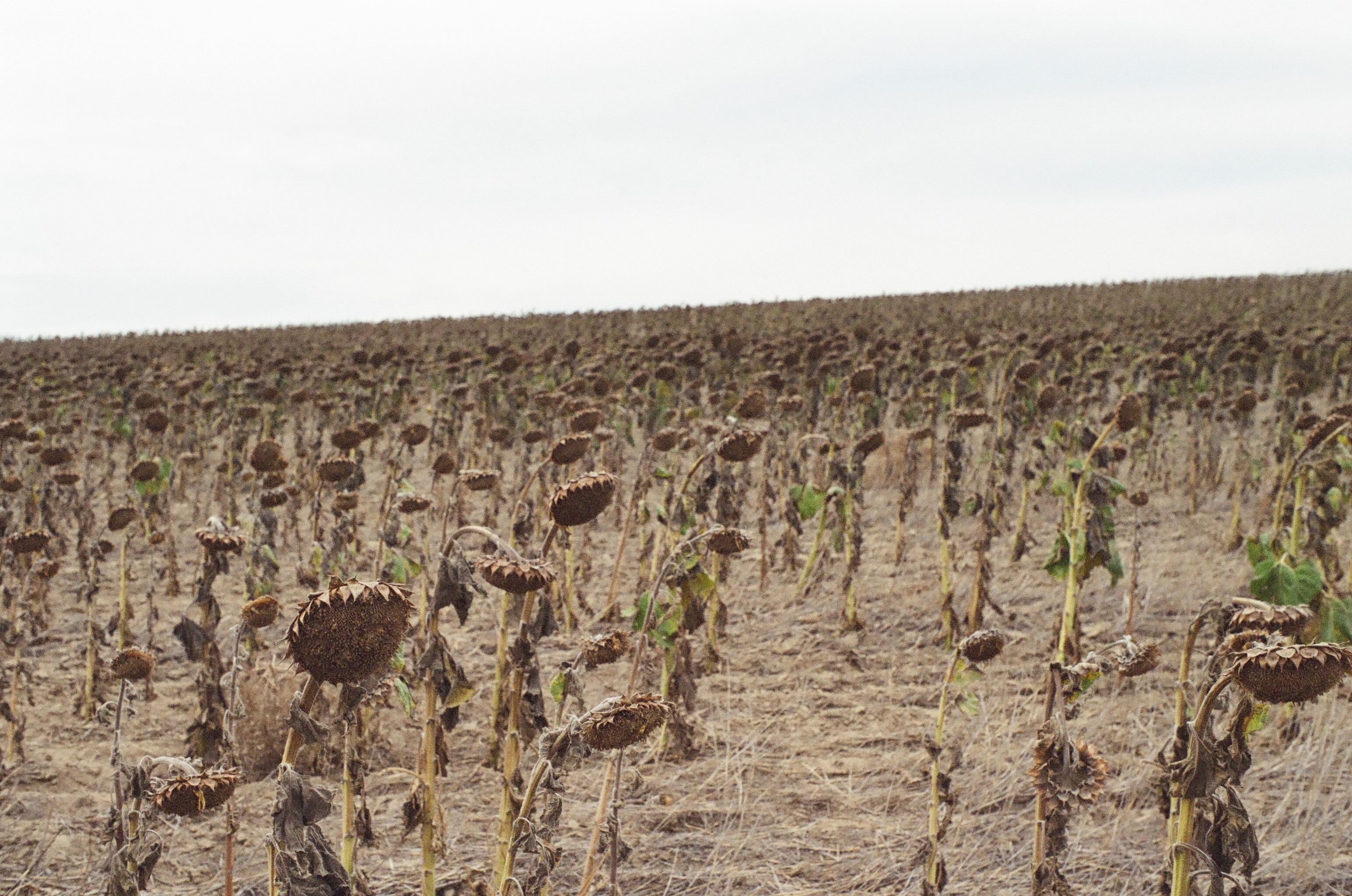
Sunflower Field
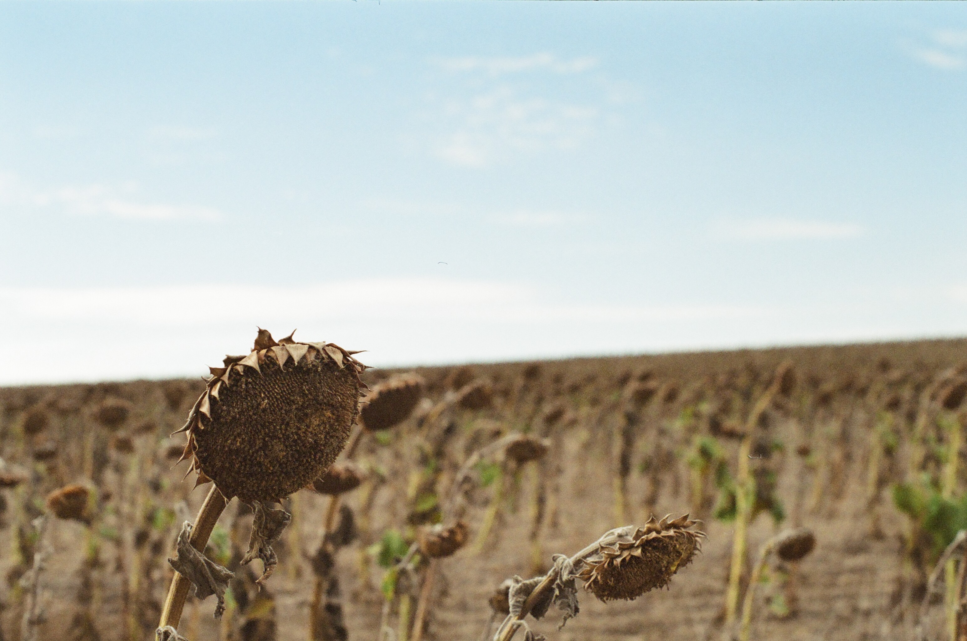
Sad Sunflower
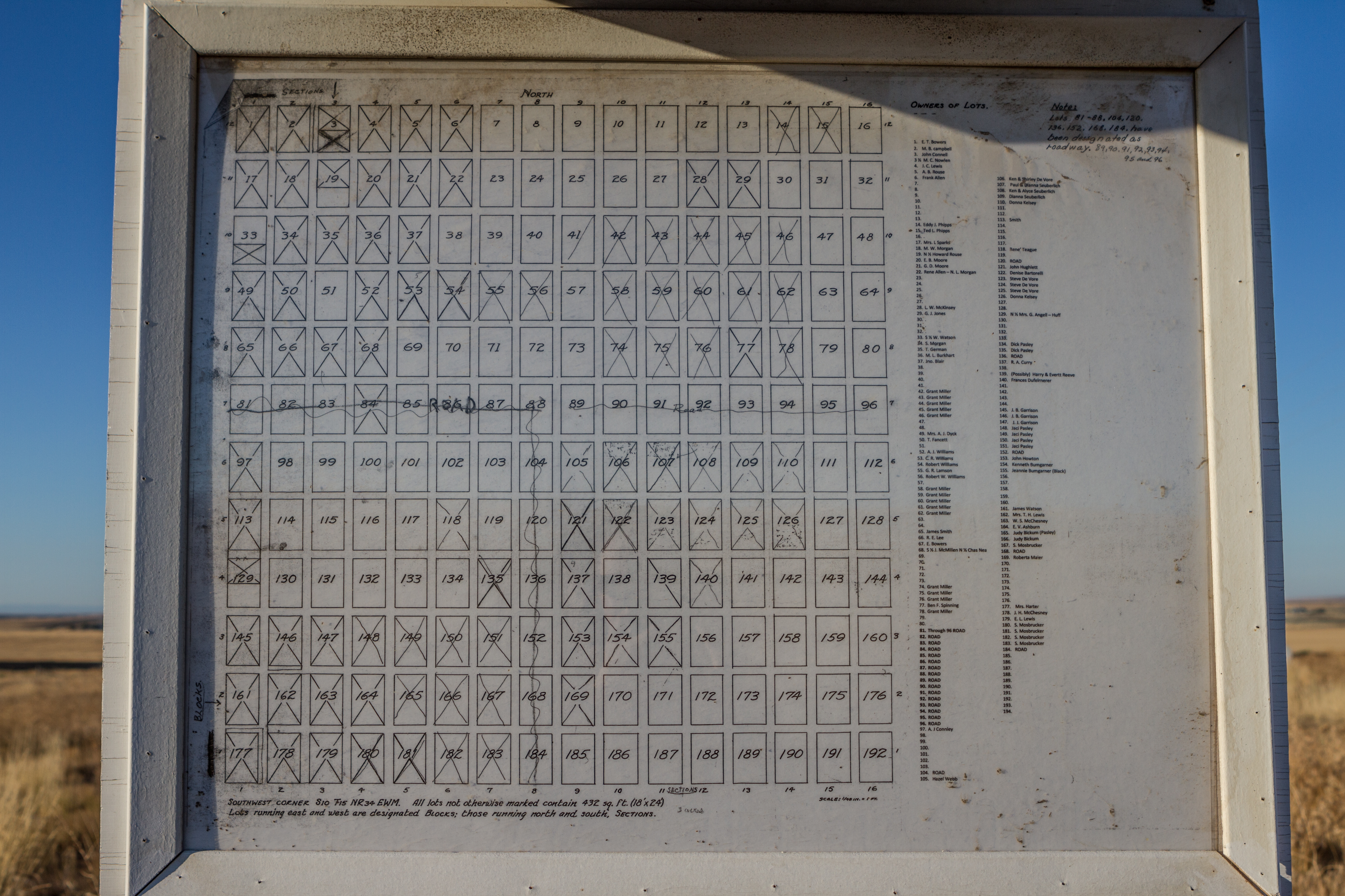
Delight Cemetery Map

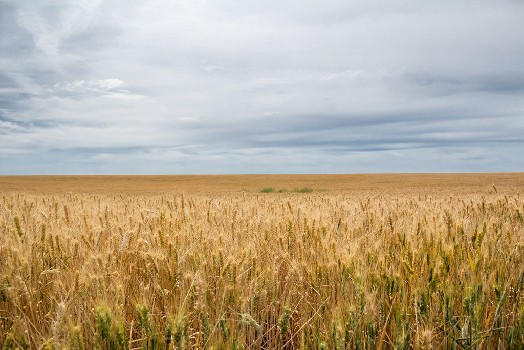
Palouse wheat field

Freight train climbing Lind Coulee

Combine Demolition Derby

Combine Demolition Derby 2

C-BUMRBE0-03A

C-BUMRBE0-03A
All That Remains
IMG_4701.jpg
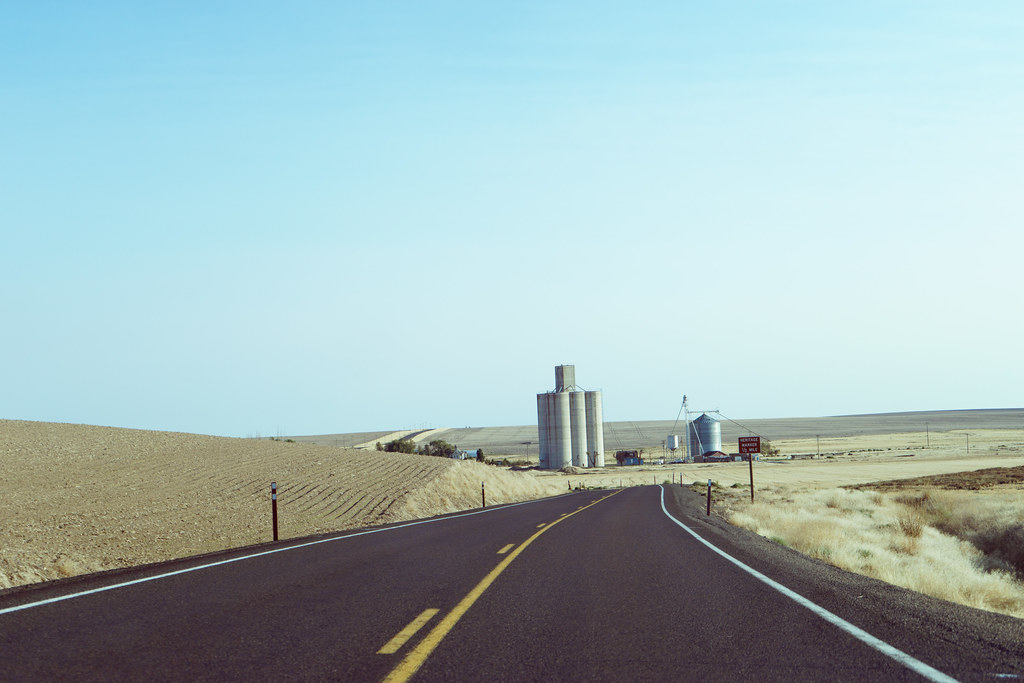
Central Washington A7 (59)

Homeward Bound
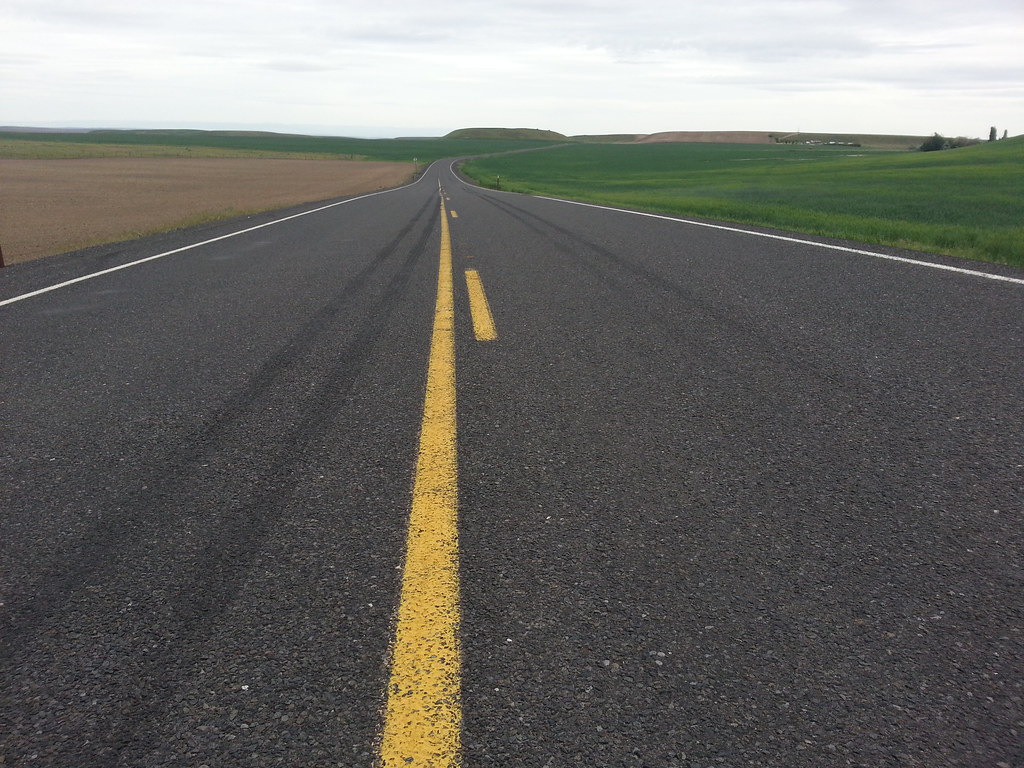
Road to Palouse Falls
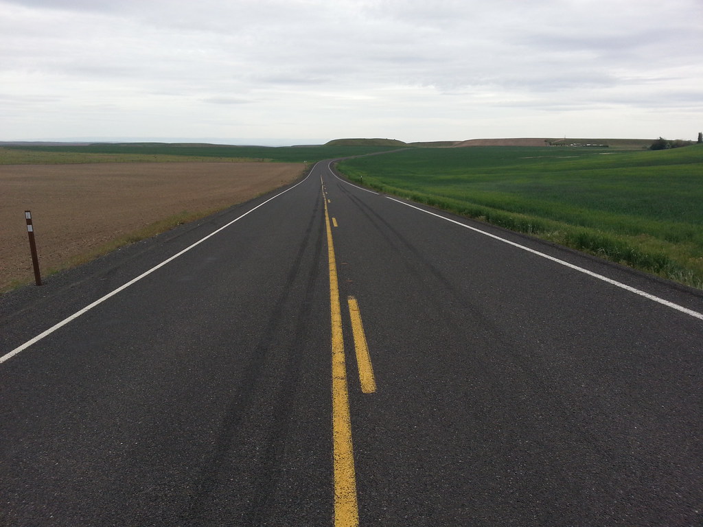
Road to Palouse Falls
Road to Palouse Falls
Eastern Washington Wheat fields, Washington
home on the wheat fields, Washington
Former Milwaukee Road Trestle (Lind WA)
Adams County, Washington, USA Karte
Suchen Sie einen anderen Ort
Orte in Adams County, Washington, USA
Nahe Plätze
Ritzville, WA, USA
Washtucna, Washington, USA
Kahlotus, WA, USA
Hatton, WA, USA
Bronson St, Hatton, WA, USA
South Roxboro Road, S Roxboro Rd, Othello, WA, USA
Palouse Falls, Washington, USA
31 Wallace Walker Rd, Pasco, WA, USA
Schoessler Rd, Odessa, WA, USA
Odessa, WA, USA
Burr Canyon Rd, Pasco, WA, USA
Simmons Rd, Prescott, WA, USA
Braeburn Pl NW, Soap Lake, WA, USA
Franklin County, Washington, USA
Coffeepot Lake, Washington, USA
Coffee Pot Rd E, Harrington, WA, USA
Twin Lakes, Washington, USA
Lincoln County, Washington, USA
Harrington, WA, USA
Marlin, Krupp, WA, USA
Letzte Suche
- West Sugar Creek, Charlotte, NC, USA Sonnenaufgang Sonnenuntergang Zeiten
- Contulmo, Bío Bío, Chile Sonnenaufgang Sonnenuntergang Zeiten
- Contulmo, Bío-Bío, Chile Sonnenaufgang Sonnenuntergang Zeiten
- Steadfast Ct, Daphne, AL, USA Sonnenaufgang Sonnenuntergang Zeiten
- Horton in Ribblesdale, Settle BD24 0HB, Vereinigtes Königreich Sonnenaufgang Sonnenuntergang Zeiten
- Rojo Ct, Atascadero, CA, USA Sonnenaufgang Sonnenuntergang Zeiten
- Lumagwas Diversified Farmers Multi-Purpose Cooperative, Lumagwas, Adtuyon, RV32+MH7, Pangantucan, Bu Sonnenaufgang Sonnenuntergang Zeiten
- 12 Hutchinson Woods Dr, Fletcher, NC, USA Sonnenaufgang Sonnenuntergang Zeiten
- Santa Maria del Mar, Peru Sonnenaufgang Sonnenuntergang Zeiten
- Holloway Ave, San Francisco, CA, USA Sonnenaufgang Sonnenuntergang Zeiten