Sunrise Sunset Times of Buckhorn, NM, USA
Location: United States > New Mexico > Grant County >
Timezone:
America/Denver
Current Time:
2024-04-18 00:15:16
Longitude:
-108.708981
Latitude:
33.0370333
Sunrise Today:
06:40:02 AM
Sunset Today:
07:47:54 PM
Daylength Today:
13h 7m 52s
Sunrise Tomorrow:
06:38:52 AM
Sunset Tomorrow:
07:48:38 PM
Daylength Tomorrow:
13h 9m 46s
Year Show All Dates
| Date | Sunrise | Sunset | Daylength |
|---|---|---|---|
| 01/01/2024 | 07:17:56 AM | 05:19:25 PM | 10h 1m 29s |
| 01/02/2024 | 07:18:07 AM | 05:20:10 PM | 10h 2m 3s |
| 01/03/2024 | 07:18:15 AM | 05:20:56 PM | 10h 2m 41s |
| 01/04/2024 | 07:18:22 AM | 05:21:44 PM | 10h 3m 22s |
| 01/05/2024 | 07:18:27 AM | 05:22:32 PM | 10h 4m 5s |
| 01/06/2024 | 07:18:30 AM | 05:23:21 PM | 10h 4m 51s |
| 01/07/2024 | 07:18:32 AM | 05:24:11 PM | 10h 5m 39s |
| 01/08/2024 | 07:18:31 AM | 05:25:02 PM | 10h 6m 31s |
| 01/09/2024 | 07:18:29 AM | 05:25:53 PM | 10h 7m 24s |
| 01/10/2024 | 07:18:25 AM | 05:26:45 PM | 10h 8m 20s |
| 01/11/2024 | 07:18:19 AM | 05:27:38 PM | 10h 9m 19s |
| 01/12/2024 | 07:18:12 AM | 05:28:31 PM | 10h 10m 19s |
| 01/13/2024 | 07:18:02 AM | 05:29:25 PM | 10h 11m 23s |
| 01/14/2024 | 07:17:51 AM | 05:30:20 PM | 10h 12m 29s |
| 01/15/2024 | 07:17:38 AM | 05:31:15 PM | 10h 13m 37s |
| 01/16/2024 | 07:17:23 AM | 05:32:10 PM | 10h 14m 47s |
| 01/17/2024 | 07:17:07 AM | 05:33:06 PM | 10h 15m 59s |
| 01/18/2024 | 07:16:48 AM | 05:34:02 PM | 10h 17m 14s |
| 01/19/2024 | 07:16:28 AM | 05:34:58 PM | 10h 18m 30s |
| 01/20/2024 | 07:16:06 AM | 05:35:55 PM | 10h 19m 49s |
| 01/21/2024 | 07:15:43 AM | 05:36:52 PM | 10h 21m 9s |
| 01/22/2024 | 07:15:17 AM | 05:37:49 PM | 10h 22m 32s |
| 01/23/2024 | 07:14:50 AM | 05:38:46 PM | 10h 23m 56s |
| 01/24/2024 | 07:14:21 AM | 05:39:43 PM | 10h 25m 22s |
| 01/25/2024 | 07:13:51 AM | 05:40:41 PM | 10h 26m 50s |
| 01/26/2024 | 07:13:19 AM | 05:41:38 PM | 10h 28m 19s |
| 01/27/2024 | 07:12:45 AM | 05:42:36 PM | 10h 29m 51s |
| 01/28/2024 | 07:12:10 AM | 05:43:33 PM | 10h 31m 23s |
| 01/29/2024 | 07:11:33 AM | 05:44:30 PM | 10h 32m 57s |
| 01/30/2024 | 07:10:55 AM | 05:45:28 PM | 10h 34m 33s |
| 01/31/2024 | 07:10:15 AM | 05:46:25 PM | 10h 36m 10s |
| 02/01/2024 | 07:09:33 AM | 05:47:22 PM | 10h 37m 49s |
| 02/02/2024 | 07:08:50 AM | 05:48:19 PM | 10h 39m 29s |
| 02/03/2024 | 07:08:06 AM | 05:49:16 PM | 10h 41m 10s |
| 02/04/2024 | 07:07:20 AM | 05:50:12 PM | 10h 42m 52s |
| 02/05/2024 | 07:06:33 AM | 05:51:09 PM | 10h 44m 36s |
| 02/06/2024 | 07:05:44 AM | 05:52:05 PM | 10h 46m 21s |
| 02/07/2024 | 07:04:54 AM | 05:53:01 PM | 10h 48m 7s |
| 02/08/2024 | 07:04:03 AM | 05:53:56 PM | 10h 49m 53s |
| 02/09/2024 | 07:03:10 AM | 05:54:52 PM | 10h 51m 42s |
| 02/10/2024 | 07:02:17 AM | 05:55:47 PM | 10h 53m 30s |
| 02/11/2024 | 07:01:21 AM | 05:56:41 PM | 10h 55m 20s |
| 02/12/2024 | 07:00:25 AM | 05:57:36 PM | 10h 57m 11s |
| 02/13/2024 | 06:59:28 AM | 05:58:30 PM | 10h 59m 2s |
| 02/14/2024 | 06:58:29 AM | 05:59:24 PM | 11h 0m 55s |
| 02/15/2024 | 06:57:29 AM | 06:00:17 PM | 11h 2m 48s |
| 02/16/2024 | 06:56:29 AM | 06:01:10 PM | 11h 4m 41s |
| 02/17/2024 | 06:55:27 AM | 06:02:03 PM | 11h 6m 36s |
| 02/18/2024 | 06:54:24 AM | 06:02:55 PM | 11h 8m 31s |
| 02/19/2024 | 06:53:20 AM | 06:03:48 PM | 11h 10m 28s |
| 02/20/2024 | 06:52:15 AM | 06:04:39 PM | 11h 12m 24s |
| 02/21/2024 | 06:51:10 AM | 06:05:31 PM | 11h 14m 21s |
| 02/22/2024 | 06:50:03 AM | 06:06:22 PM | 11h 16m 19s |
| 02/23/2024 | 06:48:55 AM | 06:07:12 PM | 11h 18m 17s |
| 02/24/2024 | 06:47:47 AM | 06:08:03 PM | 11h 20m 16s |
| 02/25/2024 | 06:46:38 AM | 06:08:52 PM | 11h 22m 14s |
| 02/26/2024 | 06:45:28 AM | 06:09:42 PM | 11h 24m 14s |
| 02/27/2024 | 06:44:17 AM | 06:10:31 PM | 11h 26m 14s |
| 02/28/2024 | 06:43:06 AM | 06:11:20 PM | 11h 28m 14s |
| 02/29/2024 | 06:41:54 AM | 06:12:09 PM | 11h 30m 15s |
| 03/01/2024 | 06:40:41 AM | 06:12:57 PM | 11h 32m 16s |
| 03/02/2024 | 06:39:28 AM | 06:13:45 PM | 11h 34m 17s |
| 03/03/2024 | 06:38:14 AM | 06:14:33 PM | 11h 36m 19s |
| 03/04/2024 | 06:36:59 AM | 06:15:20 PM | 11h 38m 21s |
| 03/05/2024 | 06:35:44 AM | 06:16:07 PM | 11h 40m 23s |
| 03/06/2024 | 06:34:29 AM | 06:16:54 PM | 11h 42m 25s |
| 03/07/2024 | 06:33:13 AM | 06:17:40 PM | 11h 44m 27s |
| 03/08/2024 | 06:31:56 AM | 06:18:26 PM | 11h 46m 30s |
| 03/09/2024 | 06:30:39 AM | 06:19:12 PM | 11h 48m 33s |
| 03/10/2024 | 07:29:25 AM | 07:19:56 PM | 11h 50m 31s |
| 03/11/2024 | 07:28:08 AM | 07:20:41 PM | 11h 52m 33s |
| 03/12/2024 | 07:26:50 AM | 07:21:27 PM | 11h 54m 37s |
| 03/13/2024 | 07:25:31 AM | 07:22:12 PM | 11h 56m 41s |
| 03/14/2024 | 07:24:13 AM | 07:22:56 PM | 11h 58m 43s |
| 03/15/2024 | 07:22:54 AM | 07:23:41 PM | 12h 0m 47s |
| 03/16/2024 | 07:21:35 AM | 07:24:25 PM | 12h 2m 50s |
| 03/17/2024 | 07:20:16 AM | 07:25:10 PM | 12h 4m 54s |
| 03/18/2024 | 07:18:57 AM | 07:25:54 PM | 12h 6m 57s |
| 03/19/2024 | 07:17:37 AM | 07:26:38 PM | 12h 9m 1s |
| 03/20/2024 | 07:16:18 AM | 07:27:22 PM | 12h 11m 4s |
| 03/21/2024 | 07:14:58 AM | 07:28:05 PM | 12h 13m 7s |
| 03/22/2024 | 07:13:39 AM | 07:28:49 PM | 12h 15m 10s |
| 03/23/2024 | 07:12:19 AM | 07:29:32 PM | 12h 17m 13s |
| 03/24/2024 | 07:11:00 AM | 07:30:16 PM | 12h 19m 16s |
| 03/25/2024 | 07:09:40 AM | 07:30:59 PM | 12h 21m 19s |
| 03/26/2024 | 07:08:21 AM | 07:31:42 PM | 12h 23m 21s |
| 03/27/2024 | 07:07:01 AM | 07:32:25 PM | 12h 25m 24s |
| 03/28/2024 | 07:05:42 AM | 07:33:08 PM | 12h 27m 26s |
| 03/29/2024 | 07:04:23 AM | 07:33:52 PM | 12h 29m 29s |
| 03/30/2024 | 07:03:04 AM | 07:34:35 PM | 12h 31m 31s |
| 03/31/2024 | 07:01:46 AM | 07:35:18 PM | 12h 33m 32s |
| 04/01/2024 | 07:00:27 AM | 07:36:01 PM | 12h 35m 34s |
| 04/02/2024 | 06:59:09 AM | 07:36:44 PM | 12h 37m 35s |
| 04/03/2024 | 06:57:51 AM | 07:37:27 PM | 12h 39m 36s |
| 04/04/2024 | 06:56:34 AM | 07:38:10 PM | 12h 41m 36s |
| 04/05/2024 | 06:55:17 AM | 07:38:53 PM | 12h 43m 36s |
| 04/06/2024 | 06:54:00 AM | 07:39:36 PM | 12h 45m 36s |
| 04/07/2024 | 06:52:44 AM | 07:40:19 PM | 12h 47m 35s |
| 04/08/2024 | 06:51:28 AM | 07:41:03 PM | 12h 49m 35s |
| 04/09/2024 | 06:50:13 AM | 07:41:46 PM | 12h 51m 33s |
| 04/10/2024 | 06:48:58 AM | 07:42:29 PM | 12h 53m 31s |
| 04/11/2024 | 06:47:44 AM | 07:43:13 PM | 12h 55m 29s |
| 04/12/2024 | 06:46:30 AM | 07:43:56 PM | 12h 57m 26s |
| 04/13/2024 | 06:45:17 AM | 07:44:40 PM | 12h 59m 23s |
| 04/14/2024 | 06:44:04 AM | 07:45:24 PM | 13h 1m 20s |
| 04/15/2024 | 06:42:53 AM | 07:46:07 PM | 13h 3m 14s |
| 04/16/2024 | 06:41:41 AM | 07:46:51 PM | 13h 5m 10s |
| 04/17/2024 | 06:40:31 AM | 07:47:35 PM | 13h 7m 4s |
| 04/18/2024 | 06:39:21 AM | 07:48:19 PM | 13h 8m 58s |
| 04/19/2024 | 06:38:12 AM | 07:49:03 PM | 13h 10m 51s |
| 04/20/2024 | 06:37:04 AM | 07:49:48 PM | 13h 12m 44s |
| 04/21/2024 | 06:35:57 AM | 07:50:32 PM | 13h 14m 35s |
| 04/22/2024 | 06:34:50 AM | 07:51:16 PM | 13h 16m 26s |
| 04/23/2024 | 06:33:44 AM | 07:52:01 PM | 13h 18m 17s |
| 04/24/2024 | 06:32:40 AM | 07:52:45 PM | 13h 20m 5s |
| 04/25/2024 | 06:31:36 AM | 07:53:30 PM | 13h 21m 54s |
| 04/26/2024 | 06:30:33 AM | 07:54:14 PM | 13h 23m 41s |
| 04/27/2024 | 06:29:31 AM | 07:54:59 PM | 13h 25m 28s |
| 04/28/2024 | 06:28:30 AM | 07:55:43 PM | 13h 27m 13s |
| 04/29/2024 | 06:27:30 AM | 07:56:28 PM | 13h 28m 58s |
| 04/30/2024 | 06:26:31 AM | 07:57:13 PM | 13h 30m 42s |
| 05/01/2024 | 06:25:34 AM | 07:57:58 PM | 13h 32m 24s |
| 05/02/2024 | 06:24:37 AM | 07:58:42 PM | 13h 34m 5s |
| 05/03/2024 | 06:23:41 AM | 07:59:27 PM | 13h 35m 46s |
| 05/04/2024 | 06:22:47 AM | 08:00:12 PM | 13h 37m 25s |
| 05/05/2024 | 06:21:54 AM | 08:00:56 PM | 13h 39m 2s |
| 05/06/2024 | 06:21:02 AM | 08:01:41 PM | 13h 40m 39s |
| 05/07/2024 | 06:20:11 AM | 08:02:25 PM | 13h 42m 14s |
| 05/08/2024 | 06:19:21 AM | 08:03:10 PM | 13h 43m 49s |
| 05/09/2024 | 06:18:33 AM | 08:03:54 PM | 13h 45m 21s |
| 05/10/2024 | 06:17:46 AM | 08:04:38 PM | 13h 46m 52s |
| 05/11/2024 | 06:17:00 AM | 08:05:22 PM | 13h 48m 22s |
| 05/12/2024 | 06:16:16 AM | 08:06:06 PM | 13h 49m 50s |
| 05/13/2024 | 06:15:33 AM | 08:06:49 PM | 13h 51m 16s |
| 05/14/2024 | 06:14:51 AM | 08:07:33 PM | 13h 52m 42s |
| 05/15/2024 | 06:14:11 AM | 08:08:16 PM | 13h 54m 5s |
| 05/16/2024 | 06:13:32 AM | 08:08:58 PM | 13h 55m 26s |
| 05/17/2024 | 06:12:55 AM | 08:09:41 PM | 13h 56m 46s |
| 05/18/2024 | 06:12:19 AM | 08:10:23 PM | 13h 58m 4s |
| 05/19/2024 | 06:11:44 AM | 08:11:05 PM | 13h 59m 21s |
| 05/20/2024 | 06:11:11 AM | 08:11:46 PM | 14h 0m 35s |
| 05/21/2024 | 06:10:40 AM | 08:12:27 PM | 14h 1m 47s |
| 05/22/2024 | 06:10:10 AM | 08:13:07 PM | 14h 2m 57s |
| 05/23/2024 | 06:09:41 AM | 08:13:47 PM | 14h 4m 6s |
| 05/24/2024 | 06:09:14 AM | 08:14:27 PM | 14h 5m 13s |
| 05/25/2024 | 06:08:48 AM | 08:15:06 PM | 14h 6m 18s |
| 05/26/2024 | 06:08:24 AM | 08:15:44 PM | 14h 7m 20s |
| 05/27/2024 | 06:08:02 AM | 08:16:22 PM | 14h 8m 20s |
| 05/28/2024 | 06:07:41 AM | 08:16:59 PM | 14h 9m 18s |
| 05/29/2024 | 06:07:22 AM | 08:17:35 PM | 14h 10m 13s |
| 05/30/2024 | 06:07:04 AM | 08:18:11 PM | 14h 11m 7s |
| 05/31/2024 | 06:06:47 AM | 08:18:45 PM | 14h 11m 58s |
| 06/01/2024 | 06:06:33 AM | 08:19:19 PM | 14h 12m 46s |
| 06/02/2024 | 06:06:20 AM | 08:19:53 PM | 14h 13m 33s |
| 06/03/2024 | 06:06:08 AM | 08:20:25 PM | 14h 14m 17s |
| 06/04/2024 | 06:05:58 AM | 08:20:56 PM | 14h 14m 58s |
| 06/05/2024 | 06:05:49 AM | 08:21:27 PM | 14h 15m 38s |
| 06/06/2024 | 06:05:42 AM | 08:21:57 PM | 14h 16m 15s |
| 06/07/2024 | 06:05:37 AM | 08:22:25 PM | 14h 16m 48s |
| 06/08/2024 | 06:05:33 AM | 08:22:53 PM | 14h 17m 20s |
| 06/09/2024 | 06:05:31 AM | 08:23:19 PM | 14h 17m 48s |
| 06/10/2024 | 06:05:30 AM | 08:23:45 PM | 14h 18m 15s |
| 06/11/2024 | 06:05:31 AM | 08:24:09 PM | 14h 18m 38s |
| 06/12/2024 | 06:05:33 AM | 08:24:32 PM | 14h 18m 59s |
| 06/13/2024 | 06:05:36 AM | 08:24:54 PM | 14h 19m 18s |
| 06/14/2024 | 06:05:41 AM | 08:25:14 PM | 14h 19m 33s |
| 06/15/2024 | 06:05:48 AM | 08:25:34 PM | 14h 19m 46s |
| 06/16/2024 | 06:05:56 AM | 08:25:52 PM | 14h 19m 56s |
| 06/17/2024 | 06:06:05 AM | 08:26:09 PM | 14h 20m 4s |
| 06/18/2024 | 06:06:15 AM | 08:26:24 PM | 14h 20m 9s |
| 06/19/2024 | 06:06:27 AM | 08:26:39 PM | 14h 20m 12s |
| 06/20/2024 | 06:06:41 AM | 08:26:51 PM | 14h 20m 10s |
| 06/21/2024 | 06:06:55 AM | 08:27:03 PM | 14h 20m 8s |
| 06/22/2024 | 06:07:11 AM | 08:27:13 PM | 14h 20m 2s |
| 06/23/2024 | 06:07:28 AM | 08:27:21 PM | 14h 19m 53s |
| 06/24/2024 | 06:07:47 AM | 08:27:28 PM | 14h 19m 41s |
| 06/25/2024 | 06:08:06 AM | 08:27:34 PM | 14h 19m 28s |
| 06/26/2024 | 06:08:27 AM | 08:27:38 PM | 14h 19m 11s |
| 06/27/2024 | 06:08:49 AM | 08:27:41 PM | 14h 18m 52s |
| 06/28/2024 | 06:09:12 AM | 08:27:42 PM | 14h 18m 30s |
| 06/29/2024 | 06:09:36 AM | 08:27:41 PM | 14h 18m 5s |
| 06/30/2024 | 06:10:01 AM | 08:27:39 PM | 14h 17m 38s |
| 07/01/2024 | 06:10:27 AM | 08:27:35 PM | 14h 17m 8s |
| 07/02/2024 | 06:10:54 AM | 08:27:30 PM | 14h 16m 36s |
| 07/03/2024 | 06:11:22 AM | 08:27:23 PM | 14h 16m 1s |
| 07/04/2024 | 06:11:51 AM | 08:27:15 PM | 14h 15m 24s |
| 07/05/2024 | 06:12:21 AM | 08:27:05 PM | 14h 14m 44s |
| 07/06/2024 | 06:12:52 AM | 08:26:54 PM | 14h 14m 2s |
| 07/07/2024 | 06:13:23 AM | 08:26:40 PM | 14h 13m 17s |
| 07/08/2024 | 06:13:56 AM | 08:26:26 PM | 14h 12m 30s |
| 07/09/2024 | 06:14:29 AM | 08:26:09 PM | 14h 11m 40s |
| 07/10/2024 | 06:15:02 AM | 08:25:51 PM | 14h 10m 49s |
| 07/11/2024 | 06:15:37 AM | 08:25:32 PM | 14h 9m 55s |
| 07/12/2024 | 06:16:12 AM | 08:25:11 PM | 14h 8m 59s |
| 07/13/2024 | 06:16:47 AM | 08:24:48 PM | 14h 8m 1s |
| 07/14/2024 | 06:17:24 AM | 08:24:24 PM | 14h 7m 0s |
| 07/15/2024 | 06:18:00 AM | 08:23:58 PM | 14h 5m 58s |
| 07/16/2024 | 06:18:37 AM | 08:23:31 PM | 14h 4m 54s |
| 07/17/2024 | 06:19:15 AM | 08:23:02 PM | 14h 3m 47s |
| 07/18/2024 | 06:19:53 AM | 08:22:31 PM | 14h 2m 38s |
| 07/19/2024 | 06:20:32 AM | 08:21:59 PM | 14h 1m 27s |
| 07/20/2024 | 06:21:11 AM | 08:21:26 PM | 14h 0m 15s |
| 07/21/2024 | 06:21:50 AM | 08:20:51 PM | 13h 59m 1s |
| 07/22/2024 | 06:22:30 AM | 08:20:14 PM | 13h 57m 44s |
| 07/23/2024 | 06:23:10 AM | 08:19:36 PM | 13h 56m 26s |
| 07/24/2024 | 06:23:50 AM | 08:18:57 PM | 13h 55m 7s |
| 07/25/2024 | 06:24:30 AM | 08:18:16 PM | 13h 53m 46s |
| 07/26/2024 | 06:25:11 AM | 08:17:34 PM | 13h 52m 23s |
| 07/27/2024 | 06:25:52 AM | 08:16:50 PM | 13h 50m 58s |
| 07/28/2024 | 06:26:33 AM | 08:16:05 PM | 13h 49m 32s |
| 07/29/2024 | 06:27:14 AM | 08:15:18 PM | 13h 48m 4s |
| 07/30/2024 | 06:27:55 AM | 08:14:31 PM | 13h 46m 36s |
| 07/31/2024 | 06:28:37 AM | 08:13:42 PM | 13h 45m 5s |
| 08/01/2024 | 06:29:18 AM | 08:12:51 PM | 13h 43m 33s |
| 08/02/2024 | 06:30:00 AM | 08:12:00 PM | 13h 42m 0s |
| 08/03/2024 | 06:30:41 AM | 08:11:07 PM | 13h 40m 26s |
| 08/04/2024 | 06:31:23 AM | 08:10:12 PM | 13h 38m 49s |
| 08/05/2024 | 06:32:04 AM | 08:09:17 PM | 13h 37m 13s |
| 08/06/2024 | 06:32:46 AM | 08:08:21 PM | 13h 35m 35s |
| 08/07/2024 | 06:33:27 AM | 08:07:23 PM | 13h 33m 56s |
| 08/08/2024 | 06:34:09 AM | 08:06:24 PM | 13h 32m 15s |
| 08/09/2024 | 06:34:50 AM | 08:05:24 PM | 13h 30m 34s |
| 08/10/2024 | 06:35:32 AM | 08:04:23 PM | 13h 28m 51s |
| 08/11/2024 | 06:36:13 AM | 08:03:21 PM | 13h 27m 8s |
| 08/12/2024 | 06:36:55 AM | 08:02:18 PM | 13h 25m 23s |
| 08/13/2024 | 06:37:36 AM | 08:01:14 PM | 13h 23m 38s |
| 08/14/2024 | 06:38:17 AM | 08:00:09 PM | 13h 21m 52s |
| 08/15/2024 | 06:38:58 AM | 07:59:03 PM | 13h 20m 5s |
| 08/16/2024 | 06:39:39 AM | 07:57:56 PM | 13h 18m 17s |
| 08/17/2024 | 06:40:20 AM | 07:56:48 PM | 13h 16m 28s |
| 08/18/2024 | 06:41:01 AM | 07:55:39 PM | 13h 14m 38s |
| 08/19/2024 | 06:41:41 AM | 07:54:30 PM | 13h 12m 49s |
| 08/20/2024 | 06:42:22 AM | 07:53:20 PM | 13h 10m 58s |
| 08/21/2024 | 06:43:02 AM | 07:52:08 PM | 13h 9m 6s |
| 08/22/2024 | 06:43:42 AM | 07:50:56 PM | 13h 7m 14s |
| 08/23/2024 | 06:44:22 AM | 07:49:44 PM | 13h 5m 22s |
| 08/24/2024 | 06:45:02 AM | 07:48:30 PM | 13h 3m 28s |
| 08/25/2024 | 06:45:42 AM | 07:47:16 PM | 13h 1m 34s |
| 08/26/2024 | 06:46:22 AM | 07:46:02 PM | 12h 59m 40s |
| 08/27/2024 | 06:47:02 AM | 07:44:46 PM | 12h 57m 44s |
| 08/28/2024 | 06:47:41 AM | 07:43:31 PM | 12h 55m 50s |
| 08/29/2024 | 06:48:21 AM | 07:42:14 PM | 12h 53m 53s |
| 08/30/2024 | 06:49:00 AM | 07:40:57 PM | 12h 51m 57s |
| 08/31/2024 | 06:49:40 AM | 07:39:39 PM | 12h 49m 59s |
| 09/01/2024 | 06:50:19 AM | 07:38:21 PM | 12h 48m 2s |
| 09/02/2024 | 06:50:58 AM | 07:37:03 PM | 12h 46m 5s |
| 09/03/2024 | 06:51:37 AM | 07:35:44 PM | 12h 44m 7s |
| 09/04/2024 | 06:52:16 AM | 07:34:25 PM | 12h 42m 9s |
| 09/05/2024 | 06:52:55 AM | 07:33:05 PM | 12h 40m 10s |
| 09/06/2024 | 06:53:34 AM | 07:31:45 PM | 12h 38m 11s |
| 09/07/2024 | 06:54:13 AM | 07:30:25 PM | 12h 36m 12s |
| 09/08/2024 | 06:54:52 AM | 07:29:04 PM | 12h 34m 12s |
| 09/09/2024 | 06:55:31 AM | 07:27:43 PM | 12h 32m 12s |
| 09/10/2024 | 06:56:09 AM | 07:26:22 PM | 12h 30m 13s |
| 09/11/2024 | 06:56:48 AM | 07:25:01 PM | 12h 28m 13s |
| 09/12/2024 | 06:57:27 AM | 07:23:39 PM | 12h 26m 12s |
| 09/13/2024 | 06:58:06 AM | 07:22:17 PM | 12h 24m 11s |
| 09/14/2024 | 06:58:45 AM | 07:20:56 PM | 12h 22m 11s |
| 09/15/2024 | 06:59:24 AM | 07:19:34 PM | 12h 20m 10s |
| 09/16/2024 | 07:00:03 AM | 07:18:12 PM | 12h 18m 9s |
| 09/17/2024 | 07:00:42 AM | 07:16:50 PM | 12h 16m 8s |
| 09/18/2024 | 07:01:21 AM | 07:15:28 PM | 12h 14m 7s |
| 09/19/2024 | 07:02:01 AM | 07:14:06 PM | 12h 12m 5s |
| 09/20/2024 | 07:02:40 AM | 07:12:44 PM | 12h 10m 4s |
| 09/21/2024 | 07:03:20 AM | 07:11:22 PM | 12h 8m 2s |
| 09/22/2024 | 07:03:59 AM | 07:10:00 PM | 12h 6m 1s |
| 09/23/2024 | 07:04:39 AM | 07:08:39 PM | 12h 4m 0s |
| 09/24/2024 | 07:05:19 AM | 07:07:17 PM | 12h 1m 58s |
| 09/25/2024 | 07:06:00 AM | 07:05:56 PM | 11h 59m 56s |
| 09/26/2024 | 07:06:40 AM | 07:04:35 PM | 11h 57m 55s |
| 09/27/2024 | 07:07:20 AM | 07:03:14 PM | 11h 55m 54s |
| 09/28/2024 | 07:08:01 AM | 07:01:53 PM | 11h 53m 52s |
| 09/29/2024 | 07:08:42 AM | 07:00:33 PM | 11h 51m 51s |
| 09/30/2024 | 07:09:24 AM | 06:59:13 PM | 11h 49m 49s |
| 10/01/2024 | 07:10:05 AM | 06:57:54 PM | 11h 47m 49s |
| 10/02/2024 | 07:10:47 AM | 06:56:35 PM | 11h 45m 48s |
| 10/03/2024 | 07:11:29 AM | 06:55:16 PM | 11h 43m 47s |
| 10/04/2024 | 07:12:11 AM | 06:53:58 PM | 11h 41m 47s |
| 10/05/2024 | 07:12:54 AM | 06:52:40 PM | 11h 39m 46s |
| 10/06/2024 | 07:13:37 AM | 06:51:22 PM | 11h 37m 45s |
| 10/07/2024 | 07:14:20 AM | 06:50:06 PM | 11h 35m 46s |
| 10/08/2024 | 07:15:03 AM | 06:48:49 PM | 11h 33m 46s |
| 10/09/2024 | 07:15:47 AM | 06:47:34 PM | 11h 31m 47s |
| 10/10/2024 | 07:16:31 AM | 06:46:19 PM | 11h 29m 48s |
| 10/11/2024 | 07:17:16 AM | 06:45:05 PM | 11h 27m 49s |
| 10/12/2024 | 07:18:01 AM | 06:43:51 PM | 11h 25m 50s |
| 10/13/2024 | 07:18:46 AM | 06:42:38 PM | 11h 23m 52s |
| 10/14/2024 | 07:19:32 AM | 06:41:26 PM | 11h 21m 54s |
| 10/15/2024 | 07:20:18 AM | 06:40:15 PM | 11h 19m 57s |
| 10/16/2024 | 07:21:04 AM | 06:39:04 PM | 11h 18m 0s |
| 10/17/2024 | 07:21:51 AM | 06:37:54 PM | 11h 16m 3s |
| 10/18/2024 | 07:22:38 AM | 06:36:45 PM | 11h 14m 7s |
| 10/19/2024 | 07:23:25 AM | 06:35:37 PM | 11h 12m 12s |
| 10/20/2024 | 07:24:13 AM | 06:34:30 PM | 11h 10m 17s |
| 10/21/2024 | 07:25:02 AM | 06:33:24 PM | 11h 8m 22s |
| 10/22/2024 | 07:25:50 AM | 06:32:19 PM | 11h 6m 29s |
| 10/23/2024 | 07:26:39 AM | 06:31:15 PM | 11h 4m 36s |
| 10/24/2024 | 07:27:29 AM | 06:30:12 PM | 11h 2m 43s |
| 10/25/2024 | 07:28:18 AM | 06:29:10 PM | 11h 0m 52s |
| 10/26/2024 | 07:29:08 AM | 06:28:09 PM | 10h 59m 1s |
| 10/27/2024 | 07:29:59 AM | 06:27:10 PM | 10h 57m 11s |
| 10/28/2024 | 07:30:50 AM | 06:26:11 PM | 10h 55m 21s |
| 10/29/2024 | 07:31:41 AM | 06:25:14 PM | 10h 53m 33s |
| 10/30/2024 | 07:32:33 AM | 06:24:18 PM | 10h 51m 45s |
| 10/31/2024 | 07:33:24 AM | 06:23:23 PM | 10h 49m 59s |
| 11/01/2024 | 07:34:17 AM | 06:22:30 PM | 10h 48m 13s |
| 11/02/2024 | 07:35:09 AM | 06:21:37 PM | 10h 46m 28s |
| 11/03/2024 | 06:36:04 AM | 05:20:45 PM | 10h 44m 41s |
| 11/04/2024 | 06:36:57 AM | 05:19:55 PM | 10h 42m 58s |
| 11/05/2024 | 06:37:51 AM | 05:19:07 PM | 10h 41m 16s |
| 11/06/2024 | 06:38:44 AM | 05:18:21 PM | 10h 39m 37s |
| 11/07/2024 | 06:39:38 AM | 05:17:35 PM | 10h 37m 57s |
| 11/08/2024 | 06:40:32 AM | 05:16:52 PM | 10h 36m 20s |
| 11/09/2024 | 06:41:26 AM | 05:16:10 PM | 10h 34m 44s |
| 11/10/2024 | 06:42:21 AM | 05:15:29 PM | 10h 33m 8s |
| 11/11/2024 | 06:43:15 AM | 05:14:50 PM | 10h 31m 35s |
| 11/12/2024 | 06:44:10 AM | 05:14:13 PM | 10h 30m 3s |
| 11/13/2024 | 06:45:04 AM | 05:13:37 PM | 10h 28m 33s |
| 11/14/2024 | 06:45:59 AM | 05:13:03 PM | 10h 27m 4s |
| 11/15/2024 | 06:46:54 AM | 05:12:30 PM | 10h 25m 36s |
| 11/16/2024 | 06:47:49 AM | 05:12:00 PM | 10h 24m 11s |
| 11/17/2024 | 06:48:44 AM | 05:11:30 PM | 10h 22m 46s |
| 11/18/2024 | 06:49:38 AM | 05:11:03 PM | 10h 21m 25s |
| 11/19/2024 | 06:50:33 AM | 05:10:37 PM | 10h 20m 4s |
| 11/20/2024 | 06:51:27 AM | 05:10:13 PM | 10h 18m 46s |
| 11/21/2024 | 06:52:21 AM | 05:09:51 PM | 10h 17m 30s |
| 11/22/2024 | 06:53:15 AM | 05:09:31 PM | 10h 16m 16s |
| 11/23/2024 | 06:54:09 AM | 05:09:12 PM | 10h 15m 3s |
| 11/24/2024 | 06:55:03 AM | 05:08:56 PM | 10h 13m 53s |
| 11/25/2024 | 06:55:56 AM | 05:08:41 PM | 10h 12m 45s |
| 11/26/2024 | 06:56:48 AM | 05:08:27 PM | 10h 11m 39s |
| 11/27/2024 | 06:57:41 AM | 05:08:16 PM | 10h 10m 35s |
| 11/28/2024 | 06:58:33 AM | 05:08:07 PM | 10h 9m 34s |
| 11/29/2024 | 06:59:24 AM | 05:07:59 PM | 10h 8m 35s |
| 11/30/2024 | 07:00:15 AM | 05:07:53 PM | 10h 7m 38s |
| 12/01/2024 | 07:01:05 AM | 05:07:50 PM | 10h 6m 45s |
| 12/02/2024 | 07:01:54 AM | 05:07:48 PM | 10h 5m 54s |
| 12/03/2024 | 07:02:43 AM | 05:07:47 PM | 10h 5m 4s |
| 12/04/2024 | 07:03:31 AM | 05:07:49 PM | 10h 4m 18s |
| 12/05/2024 | 07:04:19 AM | 05:07:53 PM | 10h 3m 34s |
| 12/06/2024 | 07:05:05 AM | 05:07:58 PM | 10h 2m 53s |
| 12/07/2024 | 07:05:51 AM | 05:08:05 PM | 10h 2m 14s |
| 12/08/2024 | 07:06:36 AM | 05:08:14 PM | 10h 1m 38s |
| 12/09/2024 | 07:07:19 AM | 05:08:25 PM | 10h 1m 6s |
| 12/10/2024 | 07:08:02 AM | 05:08:38 PM | 10h 0m 36s |
| 12/11/2024 | 07:08:44 AM | 05:08:52 PM | 10h 0m 8s |
| 12/12/2024 | 07:09:24 AM | 05:09:08 PM | 9h 59m 44s |
| 12/13/2024 | 07:10:04 AM | 05:09:26 PM | 9h 59m 22s |
| 12/14/2024 | 07:10:42 AM | 05:09:46 PM | 9h 59m 4s |
| 12/15/2024 | 07:11:19 AM | 05:10:07 PM | 9h 58m 48s |
| 12/16/2024 | 07:11:54 AM | 05:10:30 PM | 9h 58m 36s |
| 12/17/2024 | 07:12:29 AM | 05:10:55 PM | 9h 58m 26s |
| 12/18/2024 | 07:13:02 AM | 05:11:21 PM | 9h 58m 19s |
| 12/19/2024 | 07:13:34 AM | 05:11:49 PM | 9h 58m 15s |
| 12/20/2024 | 07:14:04 AM | 05:12:18 PM | 9h 58m 14s |
| 12/21/2024 | 07:14:33 AM | 05:12:49 PM | 9h 58m 16s |
| 12/22/2024 | 07:15:00 AM | 05:13:22 PM | 9h 58m 22s |
| 12/23/2024 | 07:15:26 AM | 05:13:56 PM | 9h 58m 30s |
| 12/24/2024 | 07:15:50 AM | 05:14:31 PM | 9h 58m 41s |
| 12/25/2024 | 07:16:12 AM | 05:15:07 PM | 9h 58m 55s |
| 12/26/2024 | 07:16:33 AM | 05:15:45 PM | 9h 59m 12s |
| 12/27/2024 | 07:16:53 AM | 05:16:25 PM | 9h 59m 32s |
| 12/28/2024 | 07:17:10 AM | 05:17:05 PM | 9h 59m 55s |
| 12/29/2024 | 07:17:26 AM | 05:17:47 PM | 10h 0m 21s |
| 12/30/2024 | 07:17:41 AM | 05:18:30 PM | 10h 0m 49s |
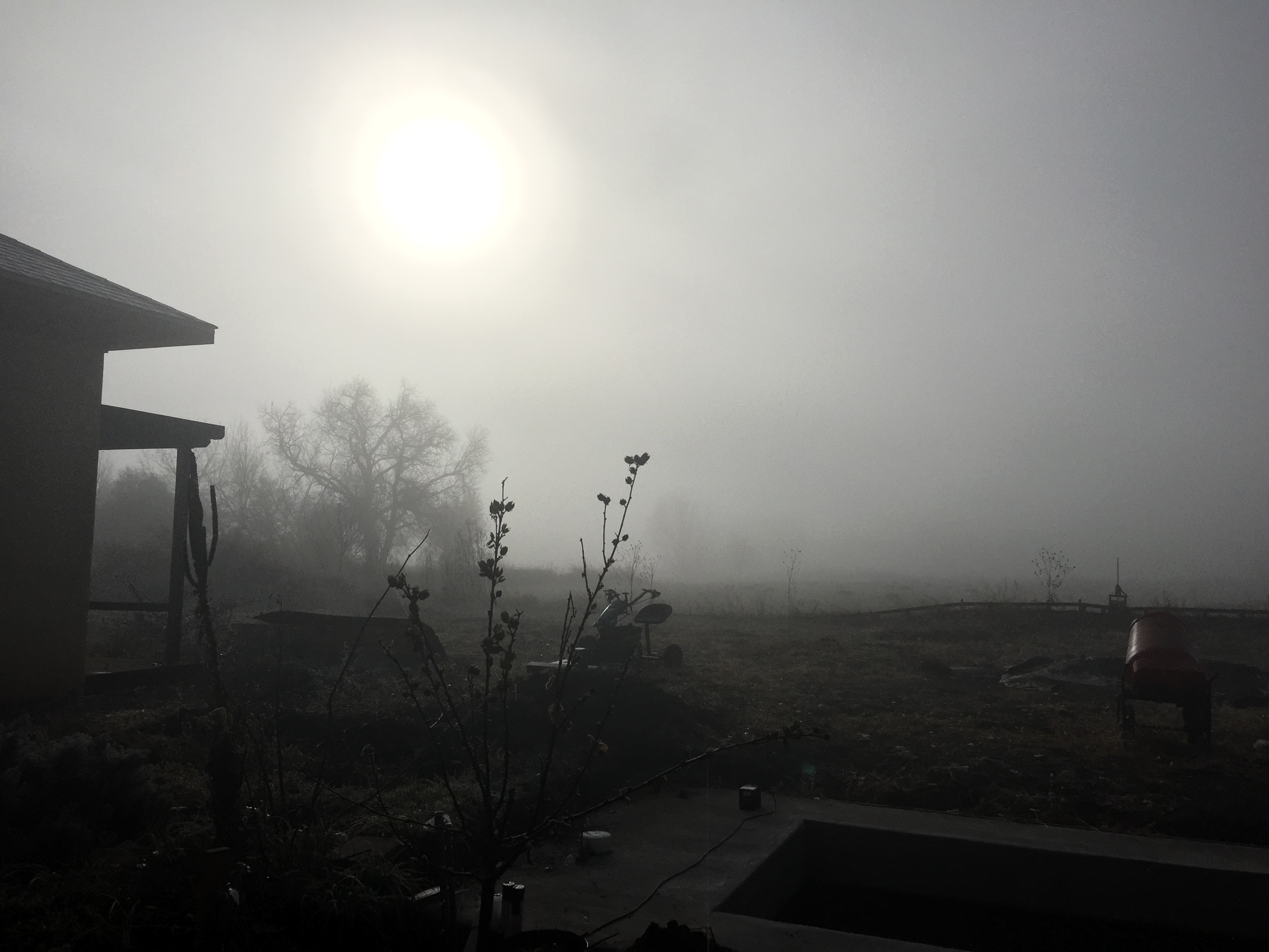
Sunrise & Sunset Photos
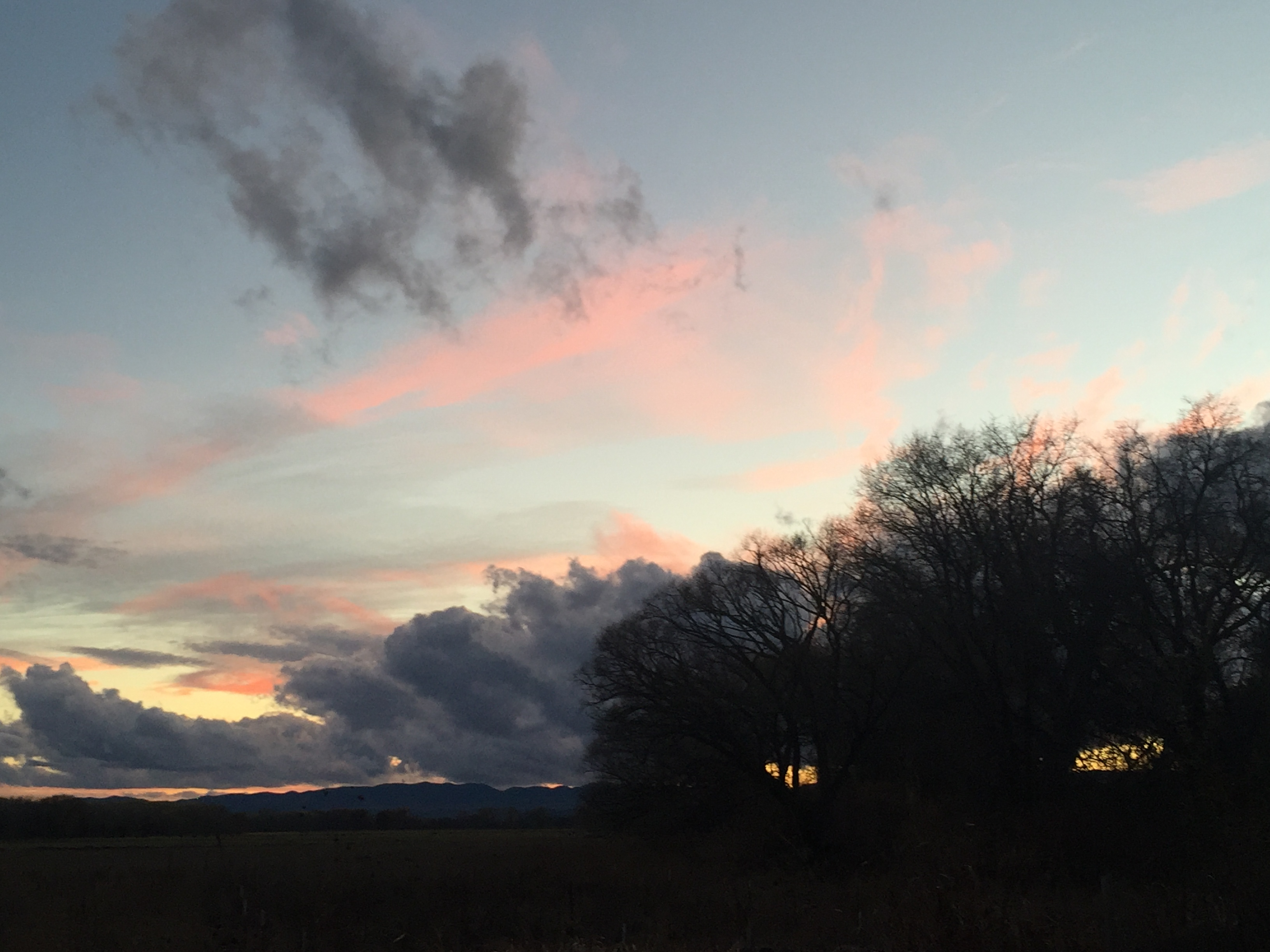
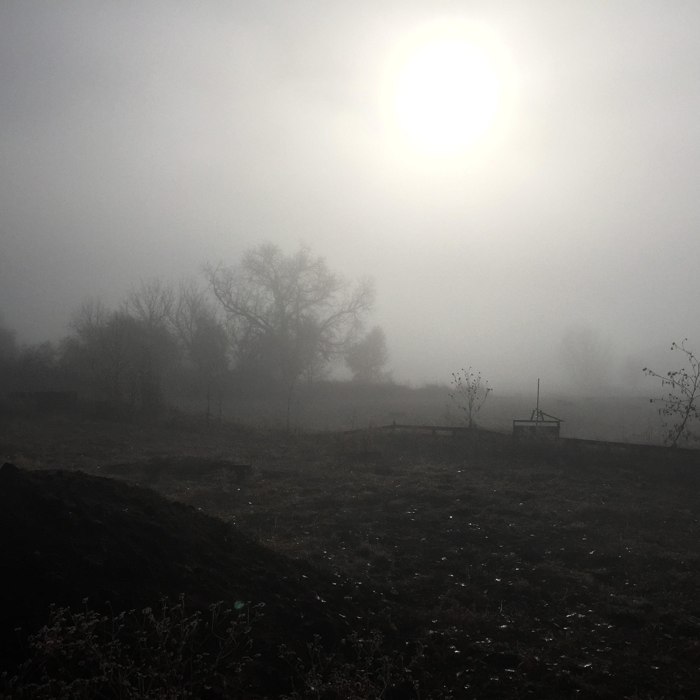
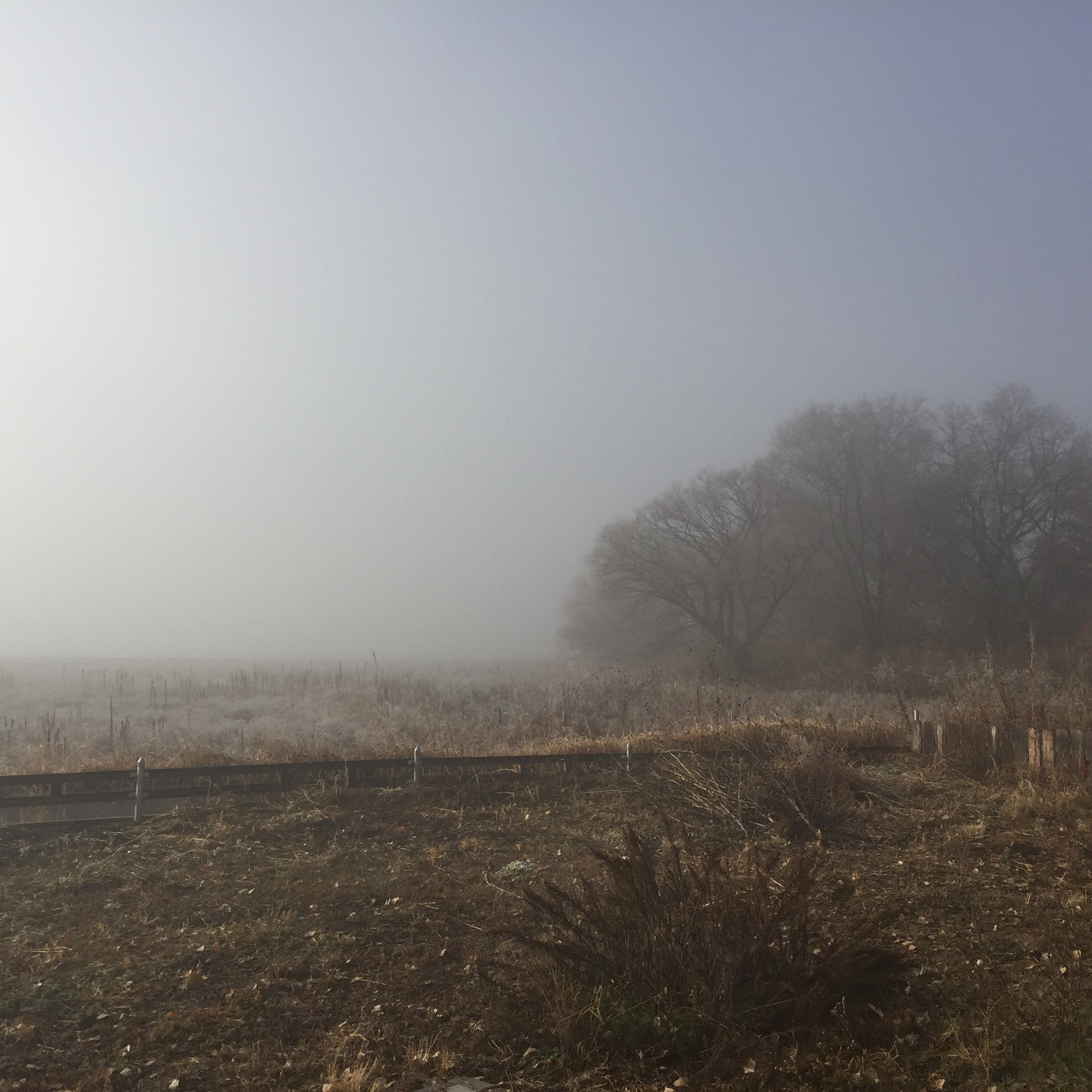
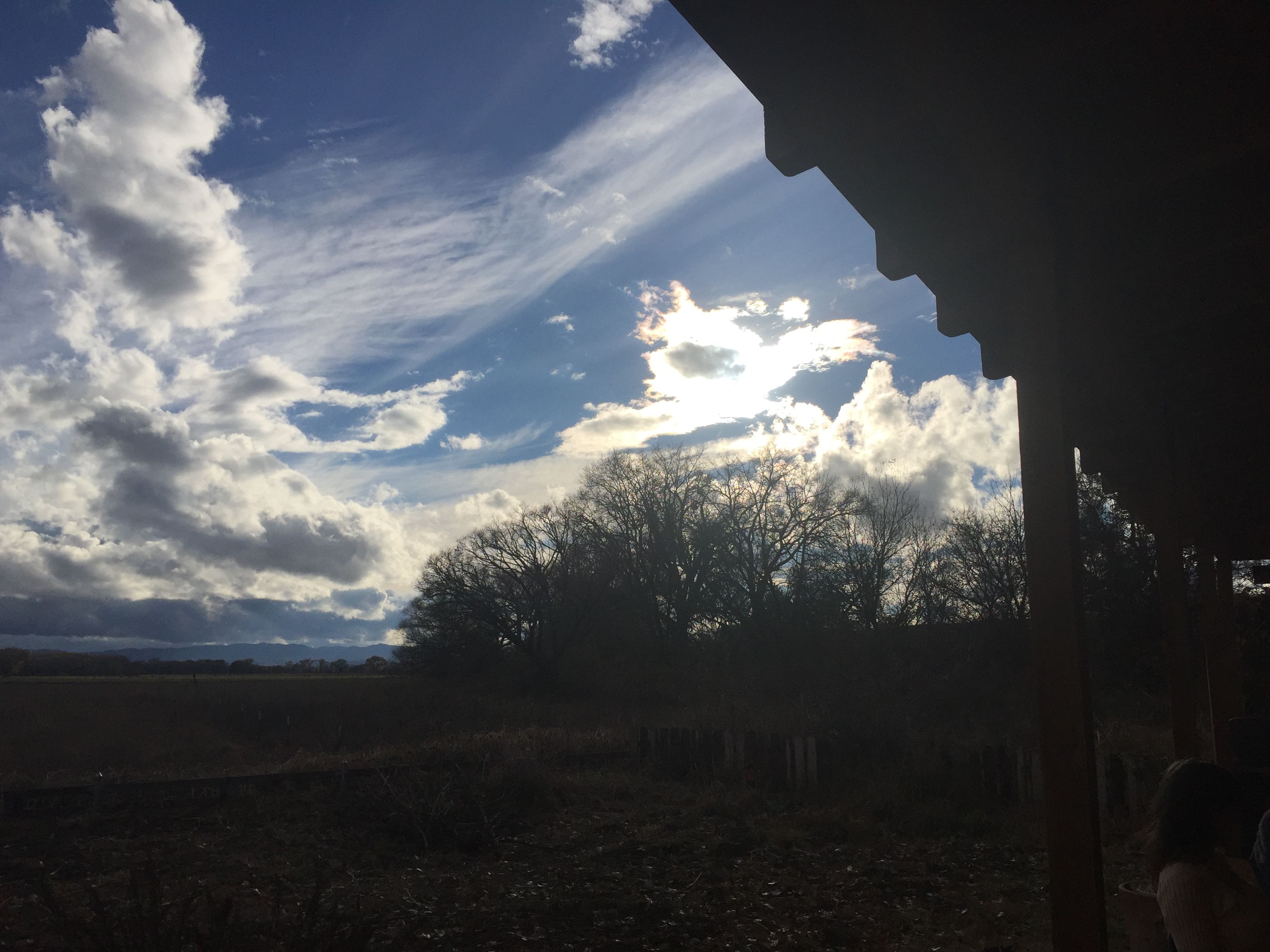
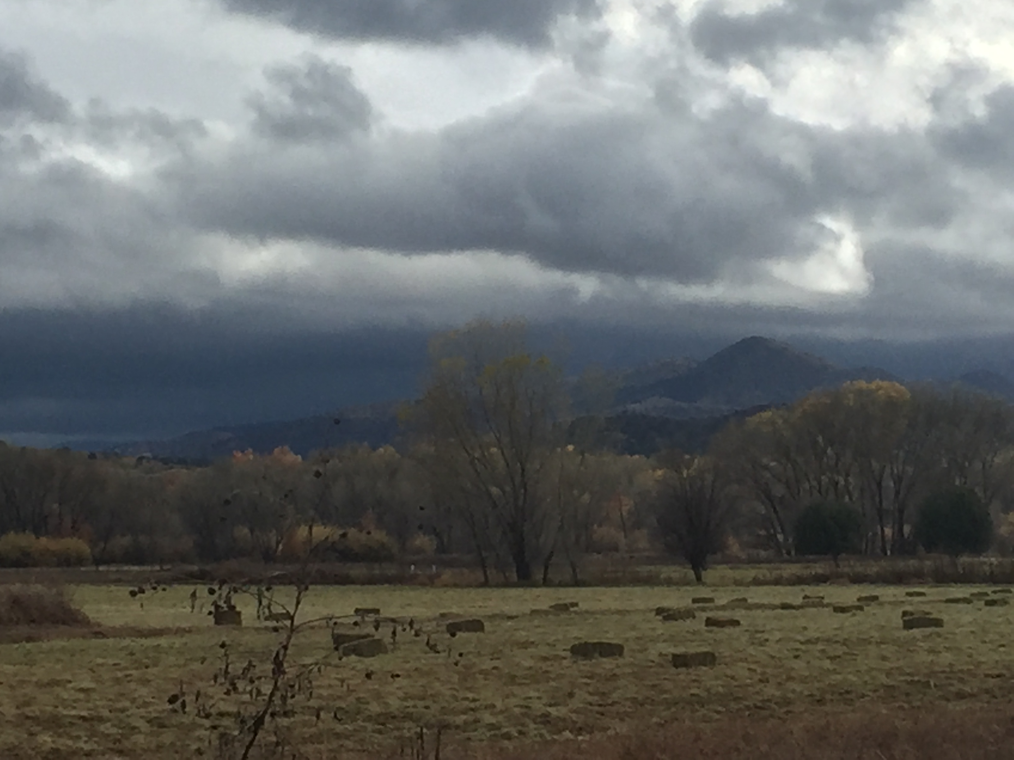
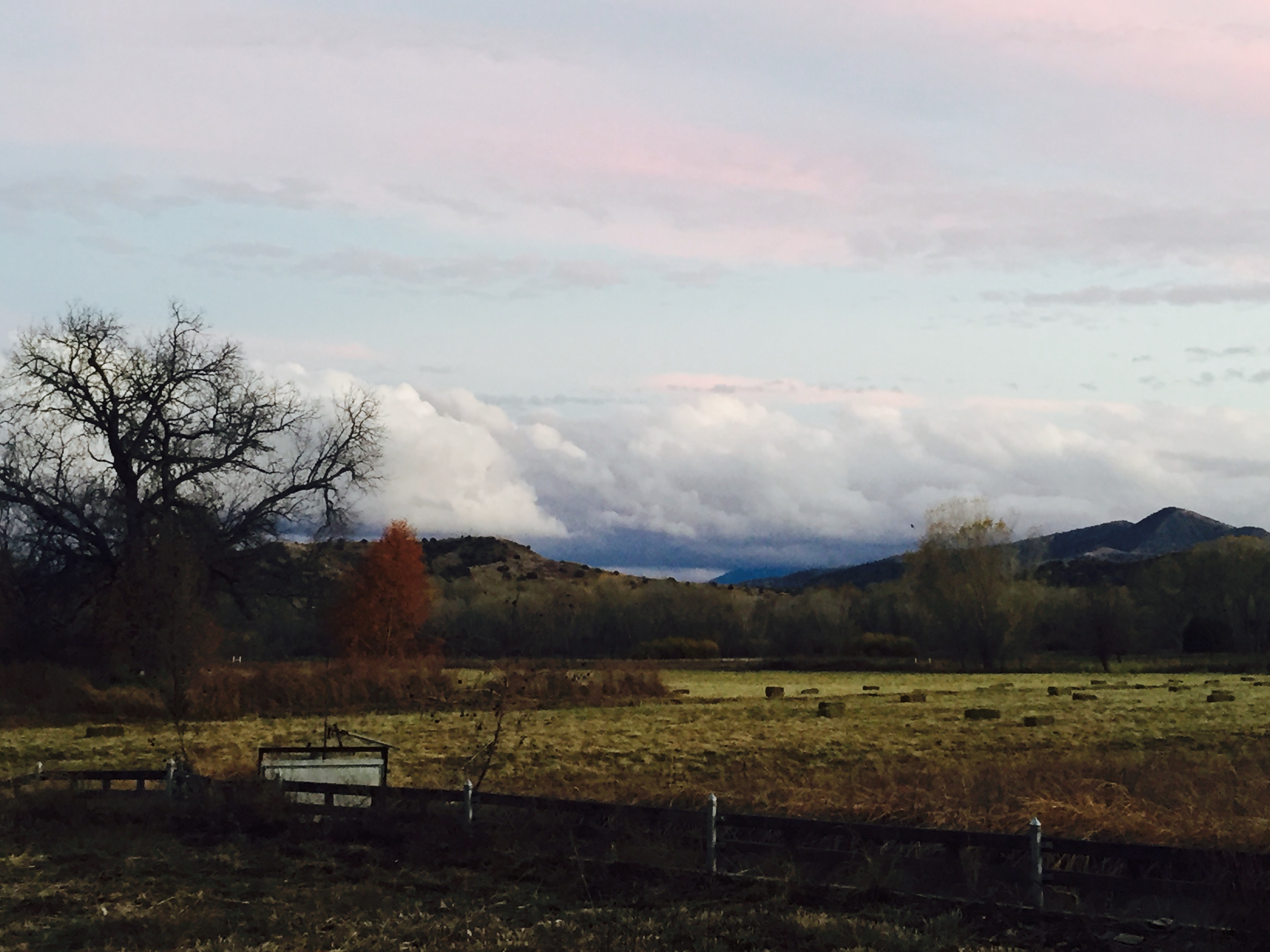
Fall/Winter in the Gila
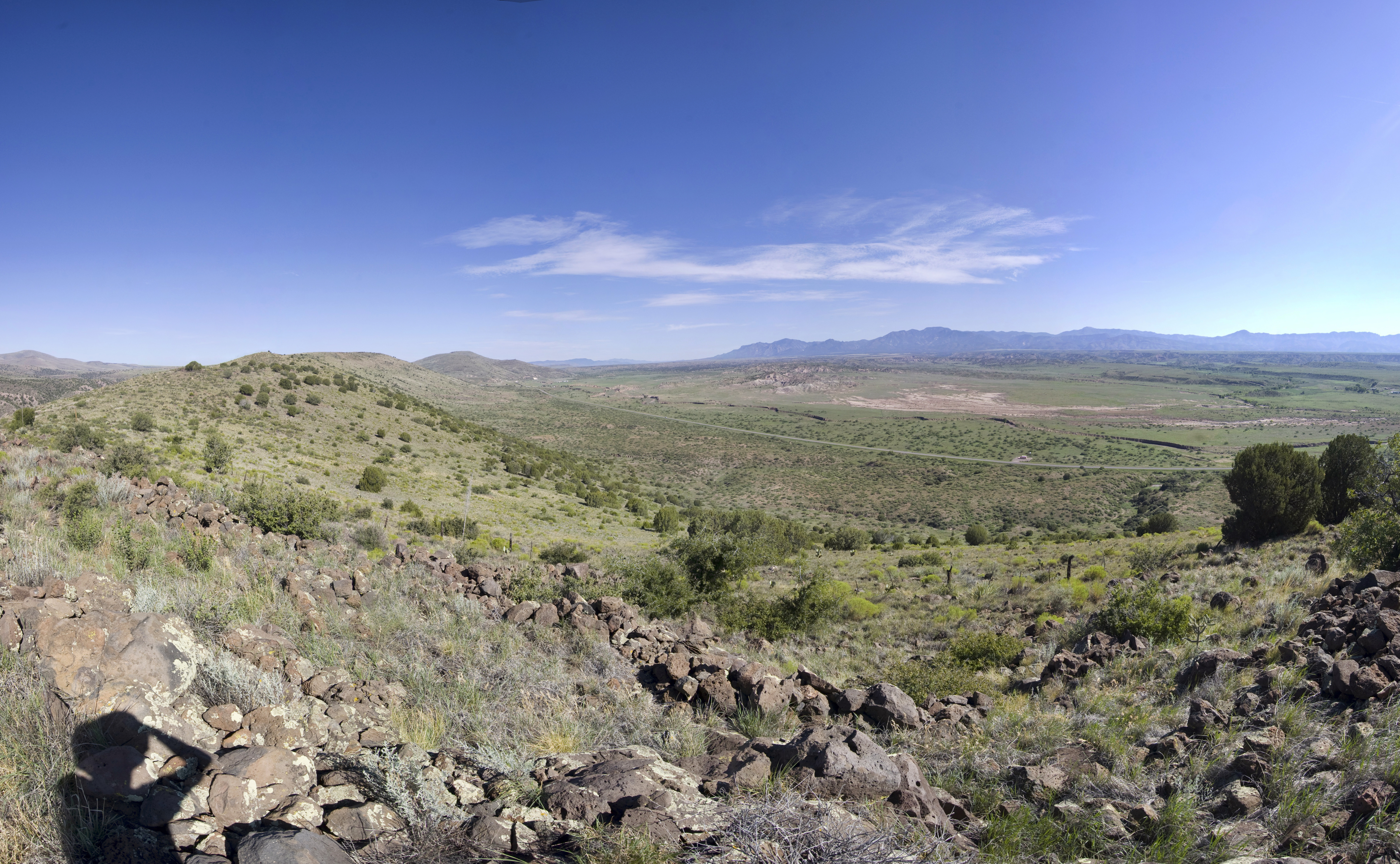
Area near Silver City, NM

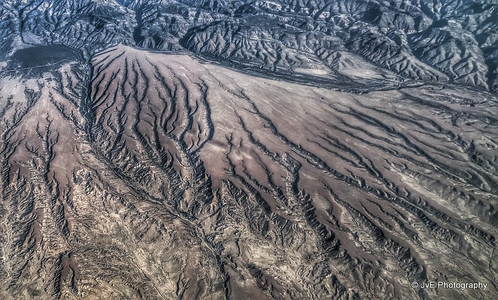
Aerial view at the Mimbres Mountains, MN

View at San Andres National Wildlife Refuge
Old Native American Outpost
Fall/Winter in the Gila
Fall/Winter in the Gila
Fall/Winter in the Gila
Fall/Winter in the Gila
Fall/Winter in the Gila
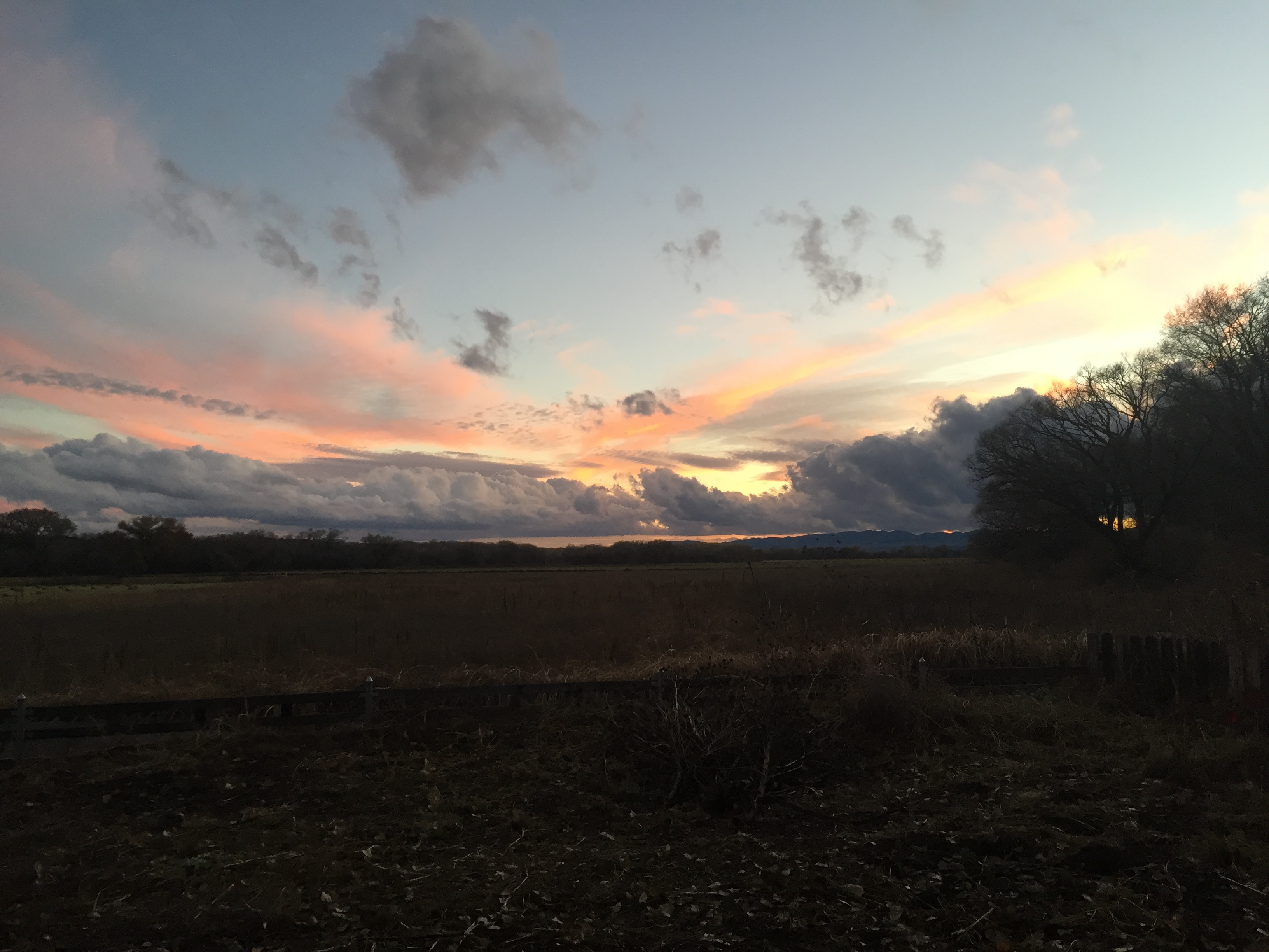
Fall/Winter in the Gila
Fall/Winter in the Gila
Fall/Winter in the Gila

Curves Mountain Grades TRUCKERS NOT RECOMMENDED - Hwy 78, New Mexico near Mule Creek, entering the GIla National Forest
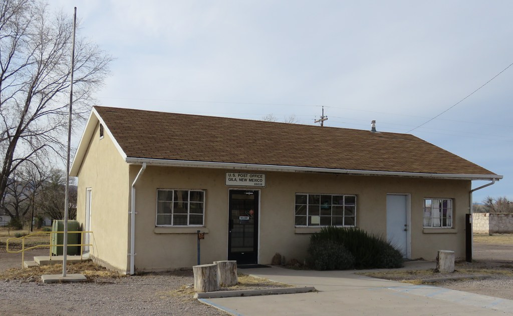
Post Office 88038 (Gila, New Mexico)
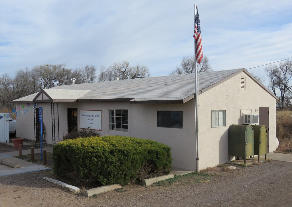
Post Office 88028 (Cliff, New Mexico)
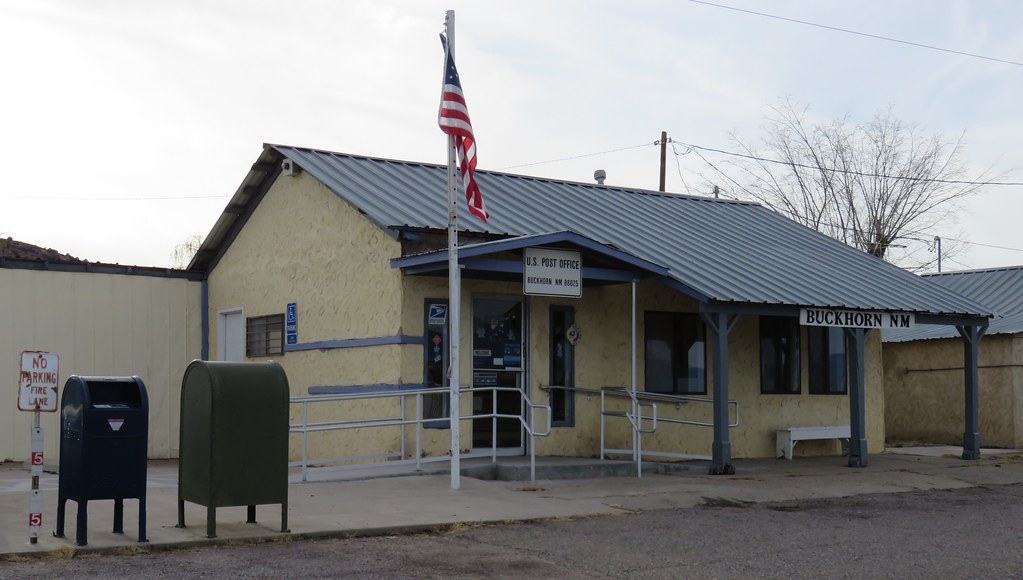
Post Office 88025 (Buckhorn, New Mexico)

Lone Tree
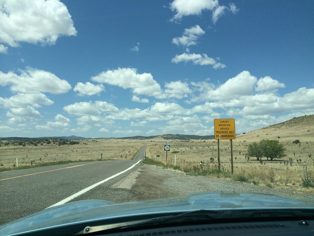
New Mexico route 78
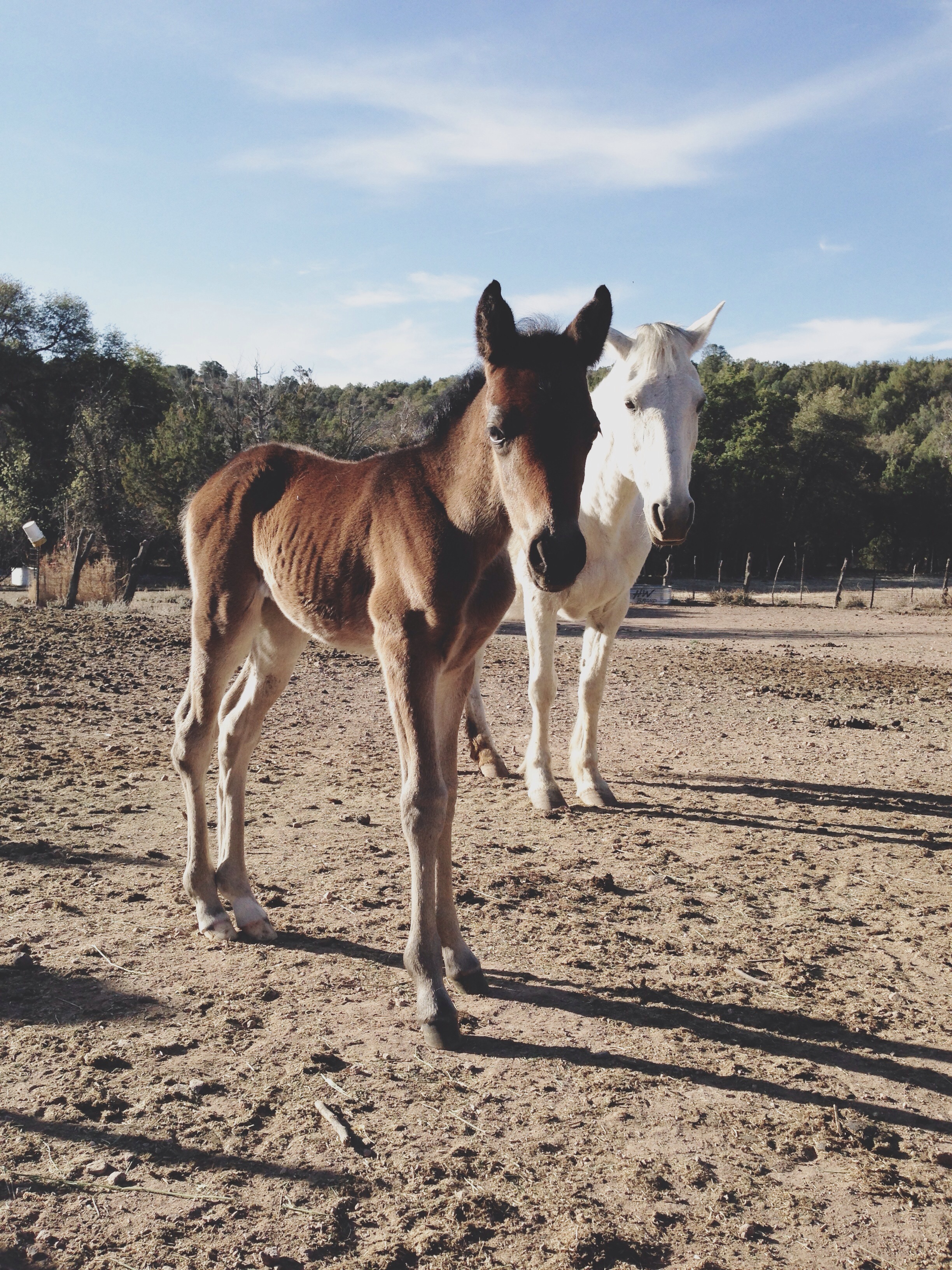
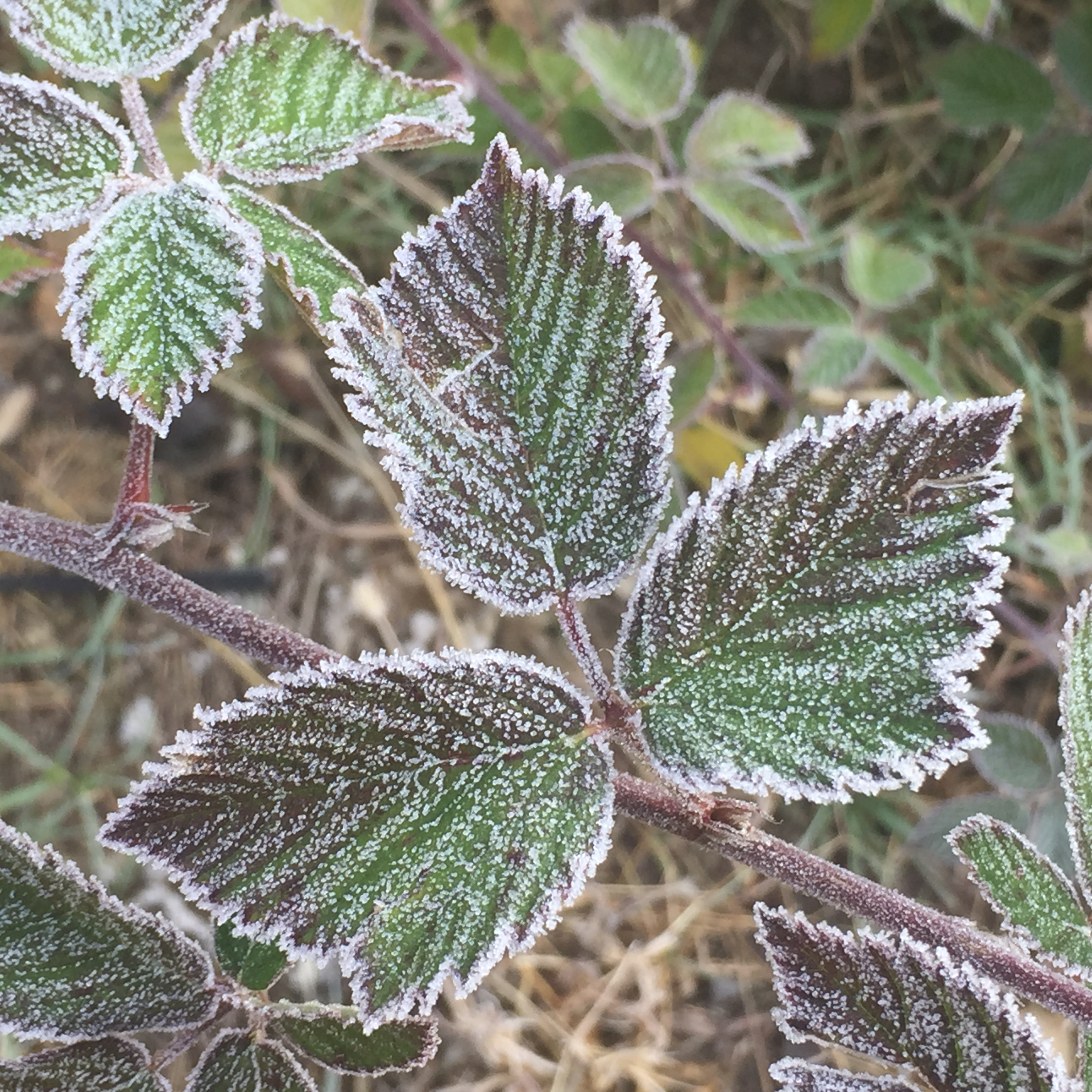
Two days old
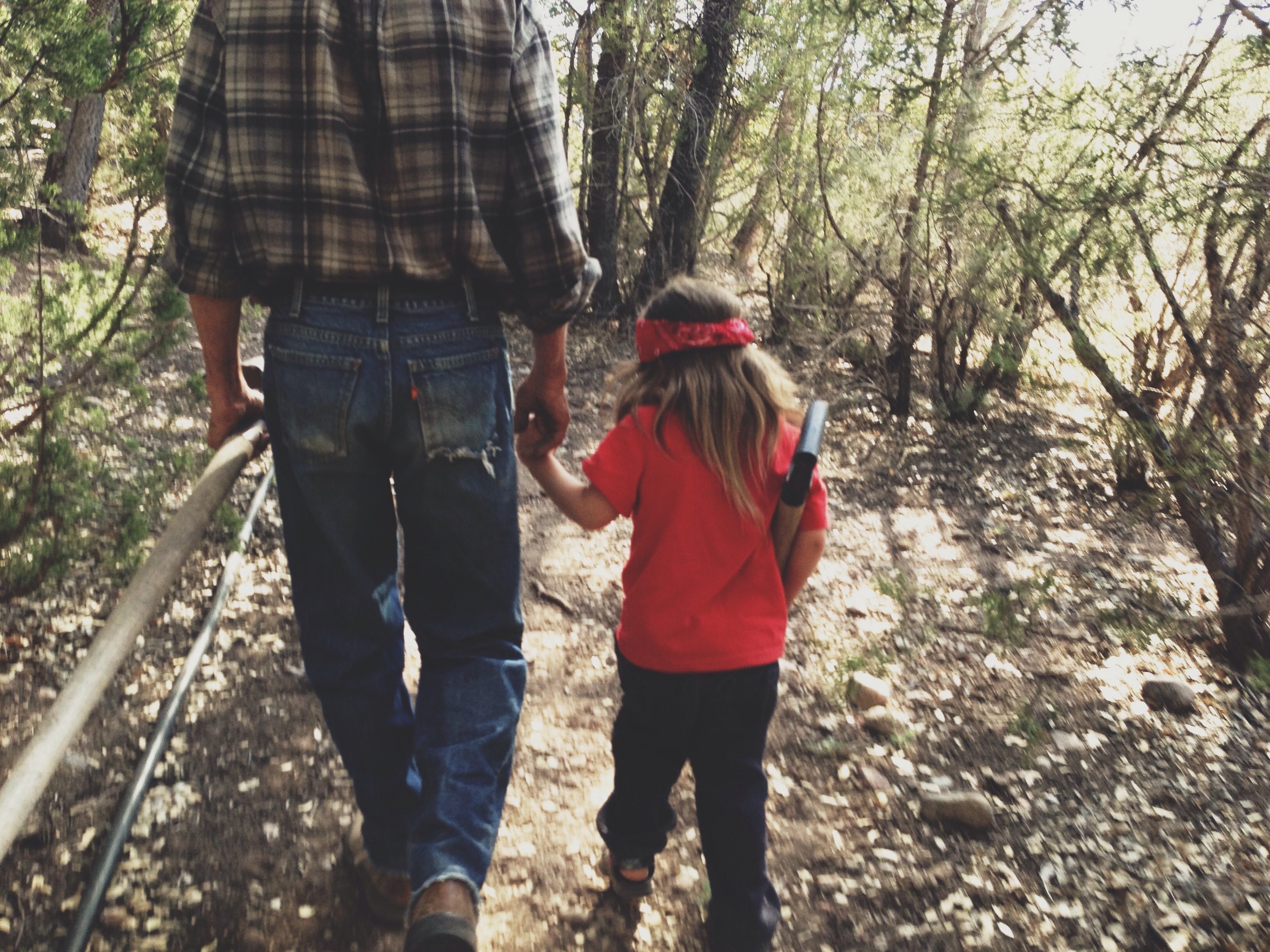
Kenny and his son Rio on the way to divert the creek water to their farm. Little Rio spent the first part of his life traveling from Colorado to Mexico on horseback, camping out every night with his parents. Gila National Forest, NM
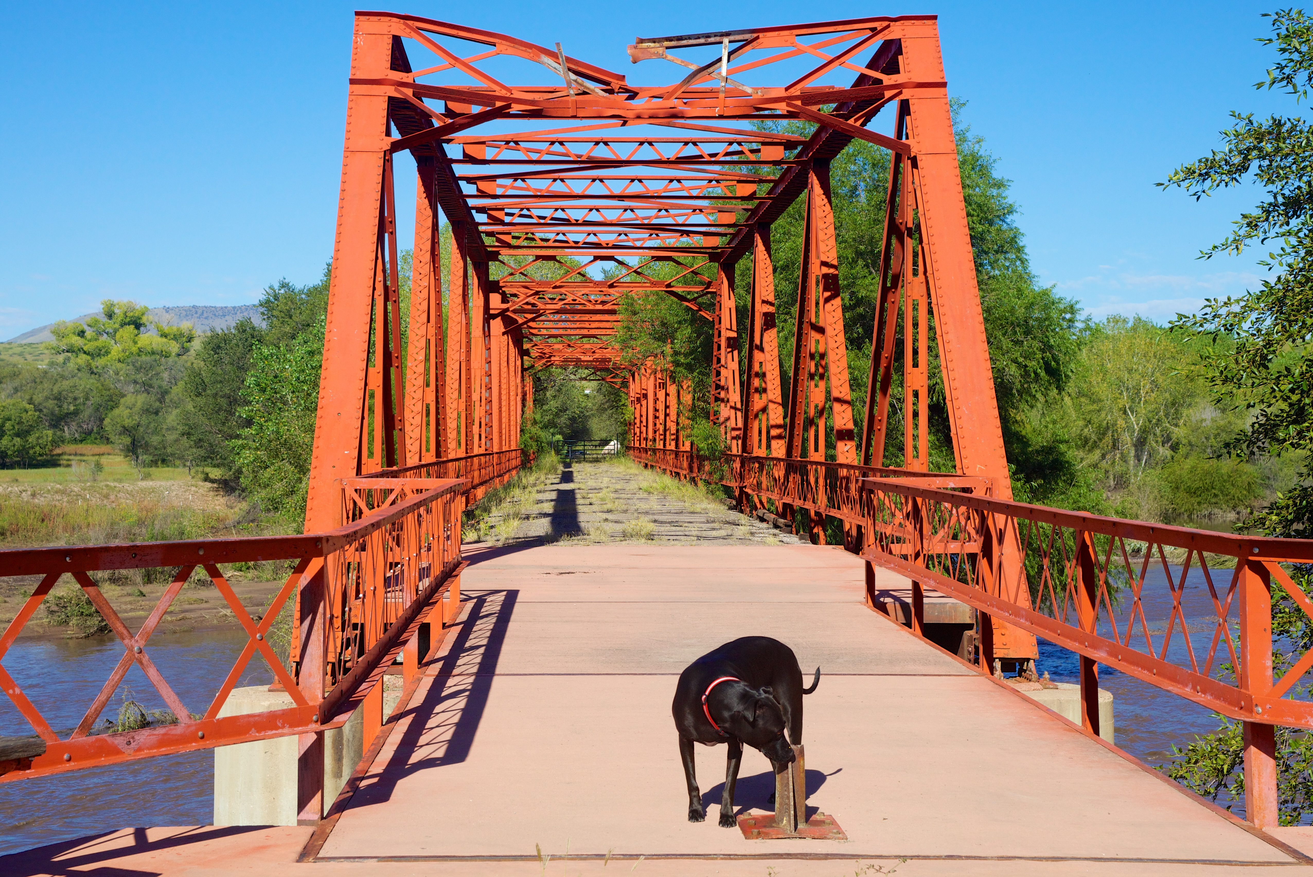
Cinder checking out "Old Iron Bridge"
Buckhorn, NM, USA Map
Search another place
Places in Buckhorn, NM, USA
Near Places
Duck Creek Rd, Buckhorn, NM, USA
Gila, NM, USA
Airport Mesa Road, Airport Mesa Rd, Silver City, NM, USA
Dry Section Mountain, New Mexico, USA
Seventyfour Mountain, New Mexico, USA
Applegate Mountain, New Mexico, USA
Mule Mountains HP, New Mexico, USA
Haystack Mountain, New Mexico, USA
Aldo Leopold Vista Picnic Area (recgovnpsdata), New Mexico, United States
Shelley Peak, New Mexico, USA
Sheridan Mountain, New Mexico, USA
Deer Peak, New Mexico, USA
Sacaton Mountain, New Mexico, USA
Outlaw Mountain, New Mexico, USA
Sundial Mountain, New Mexico, USA
Brushy Mountain, New Mexico, USA
Mogollon Baldy Peak, New Mexico, USA
Mule Creek, NM, USA
Holt Mountain, New Mexico, USA
Crookson Peak, New Mexico, USA
Recent Searches
- Sunrise Sunset Times of Santa Maria del Mar, Peru
- Sunrise Sunset Times of Holloway Ave, San Francisco, CA, USA
- Sunrise Sunset Times of 1-chōme-1-5 Asahi, Utsunomiya, Tochigi -, Japan
- Sunrise Sunset Times of Bist Hazari, Afghanistan
- Sunrise Sunset Times of 82- D Rd, Captain Cook, HI, USA
- Sunrise Sunset Times of Harlow CM20 2PR, UK
- Sunrise Sunset Times of Yadozaki Tairausuiso, Iwaki, Fukushima -, Japan
- Sunrise Sunset Times of Alpha Dr, Melbourne, FL, USA
- Sunrise Sunset Times of Yanaka, Taito City, Tokyo -, Japan
- Sunrise Sunset Times of Hiroshima University, 1-chōme-3-2 Kagamiyama, Higashihiroshima, Hiroshima -, Japan