Sunrise Sunset Times of 4 Chemin McDonald, Low, QC J0X 2C0, Canada
Location: Canada > Québec > La Vallée-de-la-Gatineau Regional County Municipality > Low > Low >
Timezone:
America/Toronto
Current Time:
2024-04-23 21:05:54
Longitude:
-75.950889
Latitude:
45.784295
Sunrise Today:
06:00:38 AM
Sunset Today:
08:02:57 PM
Daylength Today:
14h 2m 19s
Sunrise Tomorrow:
05:59:00 AM
Sunset Tomorrow:
08:04:15 PM
Daylength Tomorrow:
14h 5m 15s
Year Show All Dates
| Date | Sunrise | Sunset | Daylength |
|---|---|---|---|
| 01/01/2024 | 07:44:49 AM | 04:30:18 PM | 8h 45m 29s |
| 01/02/2024 | 07:44:48 AM | 04:31:15 PM | 8h 46m 27s |
| 01/03/2024 | 07:44:44 AM | 04:32:14 PM | 8h 47m 30s |
| 01/04/2024 | 07:44:38 AM | 04:33:14 PM | 8h 48m 36s |
| 01/05/2024 | 07:44:29 AM | 04:34:17 PM | 8h 49m 48s |
| 01/06/2024 | 07:44:17 AM | 04:35:21 PM | 8h 51m 4s |
| 01/07/2024 | 07:44:03 AM | 04:36:27 PM | 8h 52m 24s |
| 01/08/2024 | 07:43:46 AM | 04:37:35 PM | 8h 53m 49s |
| 01/09/2024 | 07:43:26 AM | 04:38:44 PM | 8h 55m 18s |
| 01/10/2024 | 07:43:03 AM | 04:39:55 PM | 8h 56m 52s |
| 01/11/2024 | 07:42:39 AM | 04:41:07 PM | 8h 58m 28s |
| 01/12/2024 | 07:42:11 AM | 04:42:20 PM | 9h 0m 9s |
| 01/13/2024 | 07:41:41 AM | 04:43:35 PM | 9h 1m 54s |
| 01/14/2024 | 07:41:08 AM | 04:44:51 PM | 9h 3m 43s |
| 01/15/2024 | 07:40:33 AM | 04:46:08 PM | 9h 5m 35s |
| 01/16/2024 | 07:39:56 AM | 04:47:27 PM | 9h 7m 31s |
| 01/17/2024 | 07:39:16 AM | 04:48:46 PM | 9h 9m 30s |
| 01/18/2024 | 07:38:33 AM | 04:50:06 PM | 9h 11m 33s |
| 01/19/2024 | 07:37:49 AM | 04:51:28 PM | 9h 13m 39s |
| 01/20/2024 | 07:37:02 AM | 04:52:50 PM | 9h 15m 48s |
| 01/21/2024 | 07:36:12 AM | 04:54:13 PM | 9h 18m 1s |
| 01/22/2024 | 07:35:21 AM | 04:55:36 PM | 9h 20m 15s |
| 01/23/2024 | 07:34:27 AM | 04:57:00 PM | 9h 22m 33s |
| 01/24/2024 | 07:33:31 AM | 04:58:25 PM | 9h 24m 54s |
| 01/25/2024 | 07:32:32 AM | 04:59:51 PM | 9h 27m 19s |
| 01/26/2024 | 07:31:32 AM | 05:01:17 PM | 9h 29m 45s |
| 01/27/2024 | 07:30:30 AM | 05:02:43 PM | 9h 32m 13s |
| 01/28/2024 | 07:29:25 AM | 05:04:10 PM | 9h 34m 45s |
| 01/29/2024 | 07:28:19 AM | 05:05:37 PM | 9h 37m 18s |
| 01/30/2024 | 07:27:11 AM | 05:07:05 PM | 9h 39m 54s |
| 01/31/2024 | 07:26:00 AM | 05:08:32 PM | 9h 42m 32s |
| 02/01/2024 | 07:24:48 AM | 05:10:00 PM | 9h 45m 12s |
| 02/02/2024 | 07:23:34 AM | 05:11:29 PM | 9h 47m 55s |
| 02/03/2024 | 07:22:19 AM | 05:12:57 PM | 9h 50m 38s |
| 02/04/2024 | 07:21:01 AM | 05:14:25 PM | 9h 53m 24s |
| 02/05/2024 | 07:19:42 AM | 05:15:54 PM | 9h 56m 12s |
| 02/06/2024 | 07:18:21 AM | 05:17:23 PM | 9h 59m 2s |
| 02/07/2024 | 07:16:59 AM | 05:18:51 PM | 10h 1m 52s |
| 02/08/2024 | 07:15:35 AM | 05:20:20 PM | 10h 4m 45s |
| 02/09/2024 | 07:14:10 AM | 05:21:48 PM | 10h 7m 38s |
| 02/10/2024 | 07:12:43 AM | 05:23:17 PM | 10h 10m 34s |
| 02/11/2024 | 07:11:14 AM | 05:24:45 PM | 10h 13m 31s |
| 02/12/2024 | 07:09:45 AM | 05:26:13 PM | 10h 16m 28s |
| 02/13/2024 | 07:08:13 AM | 05:27:41 PM | 10h 19m 28s |
| 02/14/2024 | 07:06:41 AM | 05:29:09 PM | 10h 22m 28s |
| 02/15/2024 | 07:05:07 AM | 05:30:37 PM | 10h 25m 30s |
| 02/16/2024 | 07:03:32 AM | 05:32:04 PM | 10h 28m 32s |
| 02/17/2024 | 07:01:56 AM | 05:33:31 PM | 10h 31m 35s |
| 02/18/2024 | 07:00:19 AM | 05:34:59 PM | 10h 34m 40s |
| 02/19/2024 | 06:58:41 AM | 05:36:25 PM | 10h 37m 44s |
| 02/20/2024 | 06:57:01 AM | 05:37:52 PM | 10h 40m 51s |
| 02/21/2024 | 06:55:21 AM | 05:39:18 PM | 10h 43m 57s |
| 02/22/2024 | 06:53:39 AM | 05:40:44 PM | 10h 47m 5s |
| 02/23/2024 | 06:51:57 AM | 05:42:10 PM | 10h 50m 13s |
| 02/24/2024 | 06:50:13 AM | 05:43:36 PM | 10h 53m 23s |
| 02/25/2024 | 06:48:29 AM | 05:45:01 PM | 10h 56m 32s |
| 02/26/2024 | 06:46:44 AM | 05:46:26 PM | 10h 59m 42s |
| 02/27/2024 | 06:44:58 AM | 05:47:51 PM | 11h 2m 53s |
| 02/28/2024 | 06:43:11 AM | 05:49:15 PM | 11h 6m 4s |
| 02/29/2024 | 06:41:24 AM | 05:50:39 PM | 11h 9m 15s |
| 03/01/2024 | 06:39:36 AM | 05:52:03 PM | 11h 12m 27s |
| 03/02/2024 | 06:37:47 AM | 05:53:27 PM | 11h 15m 40s |
| 03/03/2024 | 06:35:57 AM | 05:54:50 PM | 11h 18m 53s |
| 03/04/2024 | 06:34:07 AM | 05:56:13 PM | 11h 22m 6s |
| 03/05/2024 | 06:32:17 AM | 05:57:36 PM | 11h 25m 19s |
| 03/06/2024 | 06:30:25 AM | 05:58:58 PM | 11h 28m 33s |
| 03/07/2024 | 06:28:34 AM | 06:00:20 PM | 11h 31m 46s |
| 03/08/2024 | 06:26:42 AM | 06:01:42 PM | 11h 35m 0s |
| 03/09/2024 | 06:24:49 AM | 06:03:04 PM | 11h 38m 15s |
| 03/10/2024 | 07:23:01 AM | 07:04:22 PM | 11h 41m 21s |
| 03/11/2024 | 07:21:07 AM | 07:05:43 PM | 11h 44m 36s |
| 03/12/2024 | 07:19:14 AM | 07:07:05 PM | 11h 47m 51s |
| 03/13/2024 | 07:17:20 AM | 07:08:25 PM | 11h 51m 5s |
| 03/14/2024 | 07:15:25 AM | 07:09:46 PM | 11h 54m 21s |
| 03/15/2024 | 07:13:31 AM | 07:11:07 PM | 11h 57m 36s |
| 03/16/2024 | 07:11:36 AM | 07:12:27 PM | 12h 0m 51s |
| 03/17/2024 | 07:09:41 AM | 07:13:47 PM | 12h 4m 6s |
| 03/18/2024 | 07:07:46 AM | 07:15:07 PM | 12h 7m 21s |
| 03/19/2024 | 07:05:51 AM | 07:16:27 PM | 12h 10m 36s |
| 03/20/2024 | 07:03:56 AM | 07:17:46 PM | 12h 13m 50s |
| 03/21/2024 | 07:02:00 AM | 07:19:06 PM | 12h 17m 6s |
| 03/22/2024 | 07:00:05 AM | 07:20:25 PM | 12h 20m 20s |
| 03/23/2024 | 06:58:09 AM | 07:21:44 PM | 12h 23m 35s |
| 03/24/2024 | 06:56:14 AM | 07:23:03 PM | 12h 26m 49s |
| 03/25/2024 | 06:54:19 AM | 07:24:22 PM | 12h 30m 3s |
| 03/26/2024 | 06:52:24 AM | 07:25:41 PM | 12h 33m 17s |
| 03/27/2024 | 06:50:29 AM | 07:27:00 PM | 12h 36m 31s |
| 03/28/2024 | 06:48:34 AM | 07:28:19 PM | 12h 39m 45s |
| 03/29/2024 | 06:46:39 AM | 07:29:38 PM | 12h 42m 59s |
| 03/30/2024 | 06:44:45 AM | 07:30:56 PM | 12h 46m 11s |
| 03/31/2024 | 06:42:50 AM | 07:32:15 PM | 12h 49m 25s |
| 04/01/2024 | 06:40:56 AM | 07:33:34 PM | 12h 52m 38s |
| 04/02/2024 | 06:39:03 AM | 07:34:52 PM | 12h 55m 49s |
| 04/03/2024 | 06:37:10 AM | 07:36:11 PM | 12h 59m 1s |
| 04/04/2024 | 06:35:17 AM | 07:37:29 PM | 13h 2m 12s |
| 04/05/2024 | 06:33:24 AM | 07:38:48 PM | 13h 5m 24s |
| 04/06/2024 | 06:31:32 AM | 07:40:06 PM | 13h 8m 34s |
| 04/07/2024 | 06:29:41 AM | 07:41:25 PM | 13h 11m 44s |
| 04/08/2024 | 06:27:50 AM | 07:42:43 PM | 13h 14m 53s |
| 04/09/2024 | 06:25:59 AM | 07:44:01 PM | 13h 18m 2s |
| 04/10/2024 | 06:24:09 AM | 07:45:20 PM | 13h 21m 11s |
| 04/11/2024 | 06:22:20 AM | 07:46:38 PM | 13h 24m 18s |
| 04/12/2024 | 06:20:31 AM | 07:47:57 PM | 13h 27m 26s |
| 04/13/2024 | 06:18:43 AM | 07:49:15 PM | 13h 30m 32s |
| 04/14/2024 | 06:16:56 AM | 07:50:34 PM | 13h 33m 38s |
| 04/15/2024 | 06:15:09 AM | 07:51:52 PM | 13h 36m 43s |
| 04/16/2024 | 06:13:23 AM | 07:53:10 PM | 13h 39m 47s |
| 04/17/2024 | 06:11:38 AM | 07:54:29 PM | 13h 42m 51s |
| 04/18/2024 | 06:09:54 AM | 07:55:47 PM | 13h 45m 53s |
| 04/19/2024 | 06:08:11 AM | 07:57:05 PM | 13h 48m 54s |
| 04/20/2024 | 06:06:28 AM | 07:58:23 PM | 13h 51m 55s |
| 04/21/2024 | 06:04:47 AM | 07:59:42 PM | 13h 54m 55s |
| 04/22/2024 | 06:03:06 AM | 08:01:00 PM | 13h 57m 54s |
| 04/23/2024 | 06:01:27 AM | 08:02:18 PM | 14h 0m 51s |
| 04/24/2024 | 05:59:49 AM | 08:03:36 PM | 14h 3m 47s |
| 04/25/2024 | 05:58:11 AM | 08:04:54 PM | 14h 6m 43s |
| 04/26/2024 | 05:56:35 AM | 08:06:11 PM | 14h 9m 36s |
| 04/27/2024 | 05:55:00 AM | 08:07:29 PM | 14h 12m 29s |
| 04/28/2024 | 05:53:26 AM | 08:08:46 PM | 14h 15m 20s |
| 04/29/2024 | 05:51:54 AM | 08:10:03 PM | 14h 18m 9s |
| 04/30/2024 | 05:50:22 AM | 08:11:21 PM | 14h 20m 59s |
| 05/01/2024 | 05:48:52 AM | 08:12:37 PM | 14h 23m 45s |
| 05/02/2024 | 05:47:24 AM | 08:13:54 PM | 14h 26m 30s |
| 05/03/2024 | 05:45:56 AM | 08:15:10 PM | 14h 29m 14s |
| 05/04/2024 | 05:44:30 AM | 08:16:26 PM | 14h 31m 56s |
| 05/05/2024 | 05:43:06 AM | 08:17:42 PM | 14h 34m 36s |
| 05/06/2024 | 05:41:43 AM | 08:18:57 PM | 14h 37m 14s |
| 05/07/2024 | 05:40:22 AM | 08:20:12 PM | 14h 39m 50s |
| 05/08/2024 | 05:39:02 AM | 08:21:26 PM | 14h 42m 24s |
| 05/09/2024 | 05:37:44 AM | 08:22:40 PM | 14h 44m 56s |
| 05/10/2024 | 05:36:27 AM | 08:23:54 PM | 14h 47m 27s |
| 05/11/2024 | 05:35:12 AM | 08:25:07 PM | 14h 49m 55s |
| 05/12/2024 | 05:33:59 AM | 08:26:19 PM | 14h 52m 20s |
| 05/13/2024 | 05:32:48 AM | 08:27:31 PM | 14h 54m 43s |
| 05/14/2024 | 05:31:38 AM | 08:28:42 PM | 14h 57m 4s |
| 05/15/2024 | 05:30:30 AM | 08:29:52 PM | 14h 59m 22s |
| 05/16/2024 | 05:29:24 AM | 08:31:02 PM | 15h 1m 38s |
| 05/17/2024 | 05:28:20 AM | 08:32:11 PM | 15h 3m 51s |
| 05/18/2024 | 05:27:18 AM | 08:33:19 PM | 15h 6m 1s |
| 05/19/2024 | 05:26:18 AM | 08:34:26 PM | 15h 8m 8s |
| 05/20/2024 | 05:25:20 AM | 08:35:32 PM | 15h 10m 12s |
| 05/21/2024 | 05:24:24 AM | 08:36:37 PM | 15h 12m 13s |
| 05/22/2024 | 05:23:30 AM | 08:37:41 PM | 15h 14m 11s |
| 05/23/2024 | 05:22:38 AM | 08:38:44 PM | 15h 16m 6s |
| 05/24/2024 | 05:21:48 AM | 08:39:46 PM | 15h 17m 58s |
| 05/25/2024 | 05:21:01 AM | 08:40:47 PM | 15h 19m 46s |
| 05/26/2024 | 05:20:15 AM | 08:41:47 PM | 15h 21m 32s |
| 05/27/2024 | 05:19:32 AM | 08:42:45 PM | 15h 23m 13s |
| 05/28/2024 | 05:18:51 AM | 08:43:42 PM | 15h 24m 51s |
| 05/29/2024 | 05:18:12 AM | 08:44:37 PM | 15h 26m 25s |
| 05/30/2024 | 05:17:36 AM | 08:45:31 PM | 15h 27m 55s |
| 05/31/2024 | 05:17:02 AM | 08:46:24 PM | 15h 29m 22s |
| 06/01/2024 | 05:16:30 AM | 08:47:15 PM | 15h 30m 45s |
| 06/02/2024 | 05:16:00 AM | 08:48:04 PM | 15h 32m 4s |
| 06/03/2024 | 05:15:33 AM | 08:48:52 PM | 15h 33m 19s |
| 06/04/2024 | 05:15:08 AM | 08:49:38 PM | 15h 34m 30s |
| 06/05/2024 | 05:14:46 AM | 08:50:23 PM | 15h 35m 37s |
| 06/06/2024 | 05:14:26 AM | 08:51:05 PM | 15h 36m 39s |
| 06/07/2024 | 05:14:08 AM | 08:51:46 PM | 15h 37m 38s |
| 06/08/2024 | 05:13:53 AM | 08:52:25 PM | 15h 38m 32s |
| 06/09/2024 | 05:13:40 AM | 08:53:02 PM | 15h 39m 22s |
| 06/10/2024 | 05:13:30 AM | 08:53:36 PM | 15h 40m 6s |
| 06/11/2024 | 05:13:22 AM | 08:54:09 PM | 15h 40m 47s |
| 06/12/2024 | 05:13:16 AM | 08:54:40 PM | 15h 41m 24s |
| 06/13/2024 | 05:13:13 AM | 08:55:09 PM | 15h 41m 56s |
| 06/14/2024 | 05:13:12 AM | 08:55:35 PM | 15h 42m 23s |
| 06/15/2024 | 05:13:13 AM | 08:56:00 PM | 15h 42m 47s |
| 06/16/2024 | 05:13:17 AM | 08:56:22 PM | 15h 43m 5s |
| 06/17/2024 | 05:13:23 AM | 08:56:42 PM | 15h 43m 19s |
| 06/18/2024 | 05:13:32 AM | 08:56:59 PM | 15h 43m 27s |
| 06/19/2024 | 05:13:43 AM | 08:57:15 PM | 15h 43m 32s |
| 06/20/2024 | 05:13:56 AM | 08:57:28 PM | 15h 43m 32s |
| 06/21/2024 | 05:14:11 AM | 08:57:38 PM | 15h 43m 27s |
| 06/22/2024 | 05:14:29 AM | 08:57:47 PM | 15h 43m 18s |
| 06/23/2024 | 05:14:49 AM | 08:57:53 PM | 15h 43m 4s |
| 06/24/2024 | 05:15:11 AM | 08:57:56 PM | 15h 42m 45s |
| 06/25/2024 | 05:15:35 AM | 08:57:57 PM | 15h 42m 22s |
| 06/26/2024 | 05:16:01 AM | 08:57:56 PM | 15h 41m 55s |
| 06/27/2024 | 05:16:29 AM | 08:57:52 PM | 15h 41m 23s |
| 06/28/2024 | 05:17:00 AM | 08:57:46 PM | 15h 40m 46s |
| 06/29/2024 | 05:17:32 AM | 08:57:37 PM | 15h 40m 5s |
| 06/30/2024 | 05:18:06 AM | 08:57:26 PM | 15h 39m 20s |
| 07/01/2024 | 05:18:42 AM | 08:57:13 PM | 15h 38m 31s |
| 07/02/2024 | 05:19:20 AM | 08:56:57 PM | 15h 37m 37s |
| 07/03/2024 | 05:20:00 AM | 08:56:38 PM | 15h 36m 38s |
| 07/04/2024 | 05:20:42 AM | 08:56:18 PM | 15h 35m 36s |
| 07/05/2024 | 05:21:25 AM | 08:55:54 PM | 15h 34m 29s |
| 07/06/2024 | 05:22:10 AM | 08:55:29 PM | 15h 33m 19s |
| 07/07/2024 | 05:22:56 AM | 08:55:00 PM | 15h 32m 4s |
| 07/08/2024 | 05:23:44 AM | 08:54:30 PM | 15h 30m 46s |
| 07/09/2024 | 05:24:34 AM | 08:53:57 PM | 15h 29m 23s |
| 07/10/2024 | 05:25:25 AM | 08:53:22 PM | 15h 27m 57s |
| 07/11/2024 | 05:26:18 AM | 08:52:45 PM | 15h 26m 27s |
| 07/12/2024 | 05:27:12 AM | 08:52:05 PM | 15h 24m 53s |
| 07/13/2024 | 05:28:07 AM | 08:51:23 PM | 15h 23m 16s |
| 07/14/2024 | 05:29:03 AM | 08:50:38 PM | 15h 21m 35s |
| 07/15/2024 | 05:30:01 AM | 08:49:52 PM | 15h 19m 51s |
| 07/16/2024 | 05:31:00 AM | 08:49:03 PM | 15h 18m 3s |
| 07/17/2024 | 05:31:59 AM | 08:48:12 PM | 15h 16m 13s |
| 07/18/2024 | 05:33:00 AM | 08:47:19 PM | 15h 14m 19s |
| 07/19/2024 | 05:34:02 AM | 08:46:24 PM | 15h 12m 22s |
| 07/20/2024 | 05:35:05 AM | 08:45:27 PM | 15h 10m 22s |
| 07/21/2024 | 05:36:09 AM | 08:44:27 PM | 15h 8m 18s |
| 07/22/2024 | 05:37:14 AM | 08:43:26 PM | 15h 6m 12s |
| 07/23/2024 | 05:38:19 AM | 08:42:23 PM | 15h 4m 4s |
| 07/24/2024 | 05:39:25 AM | 08:41:17 PM | 15h 1m 52s |
| 07/25/2024 | 05:40:32 AM | 08:40:10 PM | 14h 59m 38s |
| 07/26/2024 | 05:41:40 AM | 08:39:01 PM | 14h 57m 21s |
| 07/27/2024 | 05:42:48 AM | 08:37:50 PM | 14h 55m 2s |
| 07/28/2024 | 05:43:57 AM | 08:36:38 PM | 14h 52m 41s |
| 07/29/2024 | 05:45:06 AM | 08:35:23 PM | 14h 50m 17s |
| 07/30/2024 | 05:46:16 AM | 08:34:07 PM | 14h 47m 51s |
| 07/31/2024 | 05:47:26 AM | 08:32:49 PM | 14h 45m 23s |
| 08/01/2024 | 05:48:37 AM | 08:31:30 PM | 14h 42m 53s |
| 08/02/2024 | 05:49:48 AM | 08:30:09 PM | 14h 40m 21s |
| 08/03/2024 | 05:51:00 AM | 08:28:46 PM | 14h 37m 46s |
| 08/04/2024 | 05:52:12 AM | 08:27:22 PM | 14h 35m 10s |
| 08/05/2024 | 05:53:24 AM | 08:25:56 PM | 14h 32m 32s |
| 08/06/2024 | 05:54:36 AM | 08:24:29 PM | 14h 29m 53s |
| 08/07/2024 | 05:55:49 AM | 08:23:00 PM | 14h 27m 11s |
| 08/08/2024 | 05:57:02 AM | 08:21:30 PM | 14h 24m 28s |
| 08/09/2024 | 05:58:15 AM | 08:19:59 PM | 14h 21m 44s |
| 08/10/2024 | 05:59:28 AM | 08:18:26 PM | 14h 18m 58s |
| 08/11/2024 | 06:00:42 AM | 08:16:52 PM | 14h 16m 10s |
| 08/12/2024 | 06:01:56 AM | 08:15:17 PM | 14h 13m 21s |
| 08/13/2024 | 06:03:09 AM | 08:13:41 PM | 14h 10m 32s |
| 08/14/2024 | 06:04:23 AM | 08:12:03 PM | 14h 7m 40s |
| 08/15/2024 | 06:05:37 AM | 08:10:25 PM | 14h 4m 48s |
| 08/16/2024 | 06:06:51 AM | 08:08:45 PM | 14h 1m 54s |
| 08/17/2024 | 06:08:05 AM | 08:07:04 PM | 13h 58m 59s |
| 08/18/2024 | 06:09:19 AM | 08:05:22 PM | 13h 56m 3s |
| 08/19/2024 | 06:10:33 AM | 08:03:39 PM | 13h 53m 6s |
| 08/20/2024 | 06:11:47 AM | 08:01:56 PM | 13h 50m 9s |
| 08/21/2024 | 06:13:01 AM | 08:00:11 PM | 13h 47m 10s |
| 08/22/2024 | 06:14:15 AM | 07:58:25 PM | 13h 44m 10s |
| 08/23/2024 | 06:15:29 AM | 07:56:39 PM | 13h 41m 10s |
| 08/24/2024 | 06:16:43 AM | 07:54:52 PM | 13h 38m 9s |
| 08/25/2024 | 06:17:57 AM | 07:53:04 PM | 13h 35m 7s |
| 08/26/2024 | 06:19:11 AM | 07:51:15 PM | 13h 32m 4s |
| 08/27/2024 | 06:20:25 AM | 07:49:25 PM | 13h 29m 0s |
| 08/28/2024 | 06:21:39 AM | 07:47:35 PM | 13h 25m 56s |
| 08/29/2024 | 06:22:53 AM | 07:45:44 PM | 13h 22m 51s |
| 08/30/2024 | 06:24:07 AM | 07:43:53 PM | 13h 19m 46s |
| 08/31/2024 | 06:25:21 AM | 07:42:01 PM | 13h 16m 40s |
| 09/01/2024 | 06:26:35 AM | 07:40:08 PM | 13h 13m 33s |
| 09/02/2024 | 06:27:49 AM | 07:38:15 PM | 13h 10m 26s |
| 09/03/2024 | 06:29:03 AM | 07:36:22 PM | 13h 7m 19s |
| 09/04/2024 | 06:30:17 AM | 07:34:27 PM | 13h 4m 10s |
| 09/05/2024 | 06:31:30 AM | 07:32:33 PM | 13h 1m 3s |
| 09/06/2024 | 06:32:44 AM | 07:30:38 PM | 12h 57m 54s |
| 09/07/2024 | 06:33:58 AM | 07:28:43 PM | 12h 54m 45s |
| 09/08/2024 | 06:35:12 AM | 07:26:47 PM | 12h 51m 35s |
| 09/09/2024 | 06:36:26 AM | 07:24:51 PM | 12h 48m 25s |
| 09/10/2024 | 06:37:40 AM | 07:22:55 PM | 12h 45m 15s |
| 09/11/2024 | 06:38:54 AM | 07:20:59 PM | 12h 42m 5s |
| 09/12/2024 | 06:40:07 AM | 07:19:02 PM | 12h 38m 55s |
| 09/13/2024 | 06:41:21 AM | 07:17:06 PM | 12h 35m 45s |
| 09/14/2024 | 06:42:36 AM | 07:15:09 PM | 12h 32m 33s |
| 09/15/2024 | 06:43:50 AM | 07:13:12 PM | 12h 29m 22s |
| 09/16/2024 | 06:45:04 AM | 07:11:14 PM | 12h 26m 10s |
| 09/17/2024 | 06:46:18 AM | 07:09:17 PM | 12h 22m 59s |
| 09/18/2024 | 06:47:33 AM | 07:07:20 PM | 12h 19m 47s |
| 09/19/2024 | 06:48:47 AM | 07:05:23 PM | 12h 16m 36s |
| 09/20/2024 | 06:50:02 AM | 07:03:26 PM | 12h 13m 24s |
| 09/21/2024 | 06:51:17 AM | 07:01:28 PM | 12h 10m 11s |
| 09/22/2024 | 06:52:32 AM | 06:59:31 PM | 12h 6m 59s |
| 09/23/2024 | 06:53:47 AM | 06:57:35 PM | 12h 3m 48s |
| 09/24/2024 | 06:55:02 AM | 06:55:38 PM | 12h 0m 36s |
| 09/25/2024 | 06:56:17 AM | 06:53:41 PM | 11h 57m 24s |
| 09/26/2024 | 06:57:33 AM | 06:51:45 PM | 11h 54m 12s |
| 09/27/2024 | 06:58:49 AM | 06:49:49 PM | 11h 51m 0s |
| 09/28/2024 | 07:00:05 AM | 06:47:53 PM | 11h 47m 48s |
| 09/29/2024 | 07:01:21 AM | 06:45:57 PM | 11h 44m 36s |
| 09/30/2024 | 07:02:38 AM | 06:44:02 PM | 11h 41m 24s |
| 10/01/2024 | 07:03:54 AM | 06:42:07 PM | 11h 38m 13s |
| 10/02/2024 | 07:05:11 AM | 06:40:13 PM | 11h 35m 2s |
| 10/03/2024 | 07:06:29 AM | 06:38:19 PM | 11h 31m 50s |
| 10/04/2024 | 07:07:46 AM | 06:36:25 PM | 11h 28m 39s |
| 10/05/2024 | 07:09:04 AM | 06:34:32 PM | 11h 25m 28s |
| 10/06/2024 | 07:10:22 AM | 06:32:39 PM | 11h 22m 17s |
| 10/07/2024 | 07:11:40 AM | 06:30:47 PM | 11h 19m 7s |
| 10/08/2024 | 07:12:59 AM | 06:28:56 PM | 11h 15m 57s |
| 10/09/2024 | 07:14:17 AM | 06:27:05 PM | 11h 12m 48s |
| 10/10/2024 | 07:15:37 AM | 06:25:15 PM | 11h 9m 38s |
| 10/11/2024 | 07:16:56 AM | 06:23:26 PM | 11h 6m 30s |
| 10/12/2024 | 07:18:16 AM | 06:21:37 PM | 11h 3m 21s |
| 10/13/2024 | 07:19:36 AM | 06:19:49 PM | 11h 0m 13s |
| 10/14/2024 | 07:20:56 AM | 06:18:02 PM | 10h 57m 6s |
| 10/15/2024 | 07:22:17 AM | 06:16:16 PM | 10h 53m 59s |
| 10/16/2024 | 07:23:38 AM | 06:14:30 PM | 10h 50m 52s |
| 10/17/2024 | 07:24:59 AM | 06:12:46 PM | 10h 47m 47s |
| 10/18/2024 | 07:26:21 AM | 06:11:02 PM | 10h 44m 41s |
| 10/19/2024 | 07:27:43 AM | 06:09:20 PM | 10h 41m 37s |
| 10/20/2024 | 07:29:05 AM | 06:07:38 PM | 10h 38m 33s |
| 10/21/2024 | 07:30:27 AM | 06:05:58 PM | 10h 35m 31s |
| 10/22/2024 | 07:31:50 AM | 06:04:18 PM | 10h 32m 28s |
| 10/23/2024 | 07:33:13 AM | 06:02:40 PM | 10h 29m 27s |
| 10/24/2024 | 07:34:36 AM | 06:01:03 PM | 10h 26m 27s |
| 10/25/2024 | 07:36:00 AM | 05:59:27 PM | 10h 23m 27s |
| 10/26/2024 | 07:37:24 AM | 05:57:52 PM | 10h 20m 28s |
| 10/27/2024 | 07:38:48 AM | 05:56:19 PM | 10h 17m 31s |
| 10/28/2024 | 07:40:12 AM | 05:54:47 PM | 10h 14m 35s |
| 10/29/2024 | 07:41:36 AM | 05:53:16 PM | 10h 11m 40s |
| 10/30/2024 | 07:43:00 AM | 05:51:47 PM | 10h 8m 47s |
| 10/31/2024 | 07:44:25 AM | 05:50:19 PM | 10h 5m 54s |
| 11/01/2024 | 07:45:50 AM | 05:48:53 PM | 10h 3m 3s |
| 11/02/2024 | 07:47:15 AM | 05:47:28 PM | 10h 0m 13s |
| 11/03/2024 | 06:48:43 AM | 04:46:01 PM | 9h 57m 18s |
| 11/04/2024 | 06:50:08 AM | 04:44:40 PM | 9h 54m 32s |
| 11/05/2024 | 06:51:33 AM | 04:43:20 PM | 9h 51m 47s |
| 11/06/2024 | 06:52:58 AM | 04:42:02 PM | 9h 49m 4s |
| 11/07/2024 | 06:54:23 AM | 04:40:45 PM | 9h 46m 22s |
| 11/08/2024 | 06:55:47 AM | 04:39:31 PM | 9h 43m 44s |
| 11/09/2024 | 06:57:12 AM | 04:38:18 PM | 9h 41m 6s |
| 11/10/2024 | 06:58:36 AM | 04:37:07 PM | 9h 38m 31s |
| 11/11/2024 | 07:00:01 AM | 04:35:58 PM | 9h 35m 57s |
| 11/12/2024 | 07:01:24 AM | 04:34:51 PM | 9h 33m 27s |
| 11/13/2024 | 07:02:48 AM | 04:33:46 PM | 9h 30m 58s |
| 11/14/2024 | 07:04:11 AM | 04:32:43 PM | 9h 28m 32s |
| 11/15/2024 | 07:05:34 AM | 04:31:42 PM | 9h 26m 8s |
| 11/16/2024 | 07:06:57 AM | 04:30:44 PM | 9h 23m 47s |
| 11/17/2024 | 07:08:18 AM | 04:29:47 PM | 9h 21m 29s |
| 11/18/2024 | 07:09:40 AM | 04:28:53 PM | 9h 19m 13s |
| 11/19/2024 | 07:11:00 AM | 04:28:00 PM | 9h 17m 0s |
| 11/20/2024 | 07:12:21 AM | 04:27:11 PM | 9h 14m 50s |
| 11/21/2024 | 07:13:40 AM | 04:26:23 PM | 9h 12m 43s |
| 11/22/2024 | 07:14:58 AM | 04:25:38 PM | 9h 10m 40s |
| 11/23/2024 | 07:16:16 AM | 04:24:55 PM | 9h 8m 39s |
| 11/24/2024 | 07:17:33 AM | 04:24:15 PM | 9h 6m 42s |
| 11/25/2024 | 07:18:49 AM | 04:23:37 PM | 9h 4m 48s |
| 11/26/2024 | 07:20:03 AM | 04:23:02 PM | 9h 2m 59s |
| 11/27/2024 | 07:21:17 AM | 04:22:29 PM | 9h 1m 12s |
| 11/28/2024 | 07:22:29 AM | 04:21:59 PM | 8h 59m 30s |
| 11/29/2024 | 07:23:41 AM | 04:21:31 PM | 8h 57m 50s |
| 11/30/2024 | 07:24:50 AM | 04:21:06 PM | 8h 56m 16s |
| 12/01/2024 | 07:25:59 AM | 04:20:43 PM | 8h 54m 44s |
| 12/02/2024 | 07:27:06 AM | 04:20:24 PM | 8h 53m 18s |
| 12/03/2024 | 07:28:12 AM | 04:20:07 PM | 8h 51m 55s |
| 12/04/2024 | 07:29:16 AM | 04:19:52 PM | 8h 50m 36s |
| 12/05/2024 | 07:30:18 AM | 04:19:40 PM | 8h 49m 22s |
| 12/06/2024 | 07:31:19 AM | 04:19:31 PM | 8h 48m 12s |
| 12/07/2024 | 07:32:18 AM | 04:19:25 PM | 8h 47m 7s |
| 12/08/2024 | 07:33:15 AM | 04:19:21 PM | 8h 46m 6s |
| 12/09/2024 | 07:34:10 AM | 04:19:21 PM | 8h 45m 11s |
| 12/10/2024 | 07:35:04 AM | 04:19:23 PM | 8h 44m 19s |
| 12/11/2024 | 07:35:55 AM | 04:19:27 PM | 8h 43m 32s |
| 12/12/2024 | 07:36:44 AM | 04:19:35 PM | 8h 42m 51s |
| 12/13/2024 | 07:37:31 AM | 04:19:45 PM | 8h 42m 14s |
| 12/14/2024 | 07:38:16 AM | 04:19:57 PM | 8h 41m 41s |
| 12/15/2024 | 07:38:59 AM | 04:20:13 PM | 8h 41m 14s |
| 12/16/2024 | 07:39:40 AM | 04:20:31 PM | 8h 40m 51s |
| 12/17/2024 | 07:40:18 AM | 04:20:52 PM | 8h 40m 34s |
| 12/18/2024 | 07:40:54 AM | 04:21:15 PM | 8h 40m 21s |
| 12/19/2024 | 07:41:27 AM | 04:21:41 PM | 8h 40m 14s |
| 12/20/2024 | 07:41:58 AM | 04:22:10 PM | 8h 40m 12s |
| 12/21/2024 | 07:42:26 AM | 04:22:41 PM | 8h 40m 15s |
| 12/22/2024 | 07:42:52 AM | 04:23:15 PM | 8h 40m 23s |
| 12/23/2024 | 07:43:16 AM | 04:23:51 PM | 8h 40m 35s |
| 12/24/2024 | 07:43:37 AM | 04:24:30 PM | 8h 40m 53s |
| 12/25/2024 | 07:43:55 AM | 04:25:11 PM | 8h 41m 16s |
| 12/26/2024 | 07:44:10 AM | 04:25:54 PM | 8h 41m 44s |
| 12/27/2024 | 07:44:23 AM | 04:26:40 PM | 8h 42m 17s |
| 12/28/2024 | 07:44:34 AM | 04:27:28 PM | 8h 42m 54s |
| 12/29/2024 | 07:44:41 AM | 04:28:18 PM | 8h 43m 37s |
| 12/30/2024 | 07:44:46 AM | 04:29:10 PM | 8h 44m 24s |
Sunrise & Sunset Photos

Golden Hour

AJ-wsmoot-20130808_47
AJ-wsmoot-20130808_43
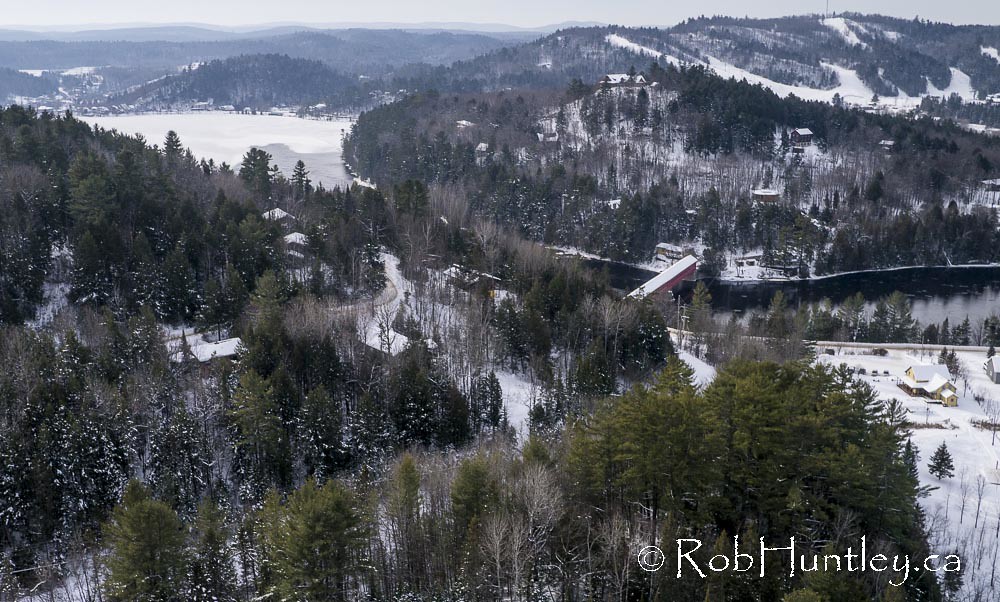
Wakefield covered bridge.
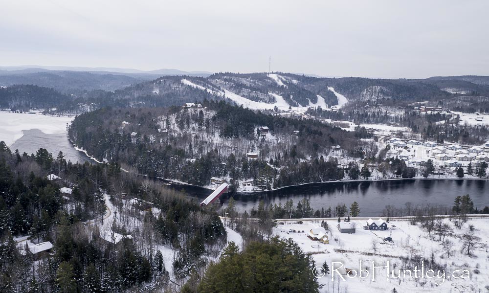
Wakefield covered bridge.

Backlit Tree by Waterfall
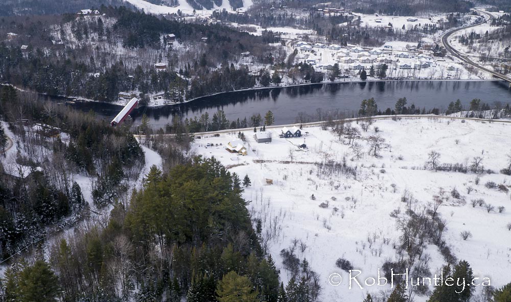
Wakefield covered bridge.
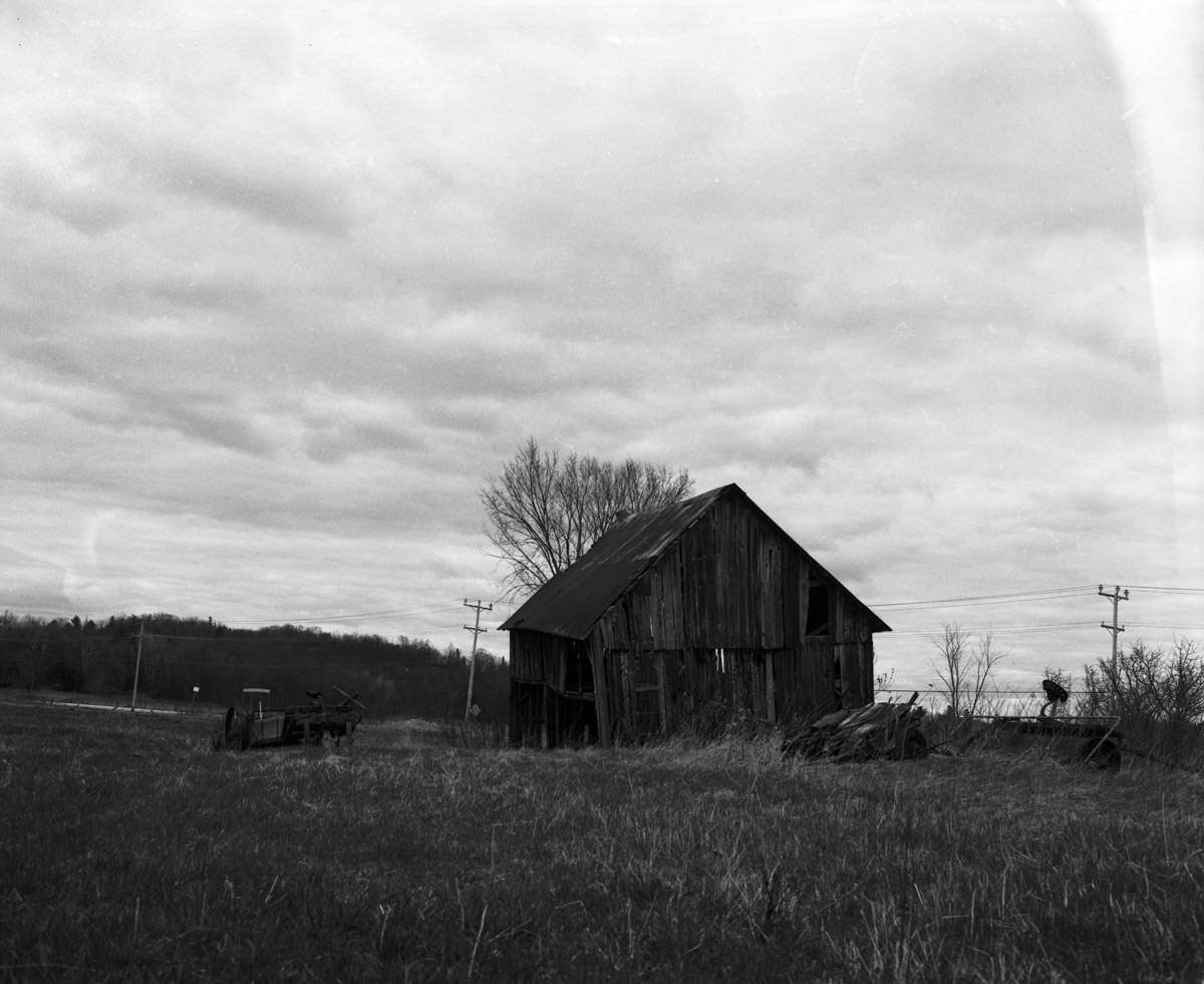
More abandoned goodness
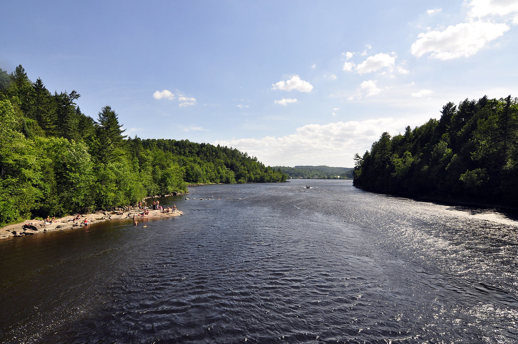
Gatineau River north of Wakefield, Quebec.
Chemin Edelweiss near Wakefield, Quebec.
Chemin Edelweiss near Wakefield, Quebec.

March 2015 Vorlage - View_3
view from the Wakefield Bridge

March 2015 Vorlage - View_2

View from the swim area
4 Chemin McDonald, Low, QC J0X 2C0, Canada Map
Search another place
Near Places
Low, QC J0X, Canada
Low, QC, Canada
La Pêche, QC, Canada
Chemin Usher, La Pêche, QC J0X, Canada
Route, Venosta, QC J0X 3E0, Canada
Venosta, QC J0X, Canada
Sainte-Cécile-de-Masham, QC J0X, Canada
Chemin Raphaël, Sainte-Cécile-de-Masham, QC J0X 2W0, Canada
8 Route Principale E, Sainte-Cécile-de-Masham, QC J0X 2W0, Canada
Kazabazua, QC J0X, Canada
Duclos, QC J0X, Canada
Lac Sinclair, Québec J0X, Canada
Chemin de la Dam-Brûlé, Duclos, QC J0X 1S0, Canada
Kazabazua, QC, Canada
77 Chemin du Village d'Aylwin, Kazabazua, QC J0X 1X0, Canada
Route Principale O, La Pêche, QC J0X, Canada
Chemin Jingletown, Danford Lake, QC J0X 1P0, Canada
CH Mulligan Ferry, Kazabazua, QC J0X 1X0, Canada
Chemin Eardley Masham, Québec J0X, Canada
Luskville, QC J0X, Canada
Recent Searches
- Sunrise Sunset Times of Nedre Storvollen, Kvaløysletta, Norway
- Sunrise Sunset Times of Unnamed Road, Respublika Severnaya Osetiya — Alaniya, Russia
- Sunrise Sunset Times of Herbage Dr, Gulfport, MS, USA
- Sunrise Sunset Times of Pointe-au-Père, Rimouski, QC, Canada
- Sunrise Sunset Times of -, Japan
- Sunrise Sunset Times of Wyndham Grand Barbados Sam Lords Castle All Inclusive Resort, End of Belair Road, Long Bay, Bridgeto
- Sunrise Sunset Times of Satsugeki, Japan, 〒- Hokkaido, Sapporo, Chuo Ward, Minami 2 Jōnishi, 5-chōme−6−1 狸小路5丁目内
- Sunrise Sunset Times of Feixiang District, Handan, Hebei, China
- Sunrise Sunset Times of Hefei High-Tech Dev Zone CMC, Shushan District, Hefei, Anhui, China
- Sunrise Sunset Times of Longfeng Fishing Harbor, No. 15號, Lane, Longjiang St, Zhunan Township, Miaoli County, Taiwan