Sunrise Sunset Times of 41 Christie Ln, Benton, CA, USA
Location: United States > California > Mono County > Benton >
Timezone:
America/Los_Angeles
Current Time:
2024-04-23 12:48:41
Longitude:
-118.47663
Latitude:
37.81911
Sunrise Today:
06:05:08 AM
Sunset Today:
07:38:36 PM
Daylength Today:
13h 33m 28s
Sunrise Tomorrow:
06:03:53 AM
Sunset Tomorrow:
07:39:31 PM
Daylength Tomorrow:
13h 35m 38s
Year Show All Dates
| Date | Sunrise | Sunset | Daylength |
|---|---|---|---|
| 01/01/2024 | 07:09:27 AM | 04:46:06 PM | 9h 36m 39s |
| 01/02/2024 | 07:09:34 AM | 04:46:55 PM | 9h 37m 21s |
| 01/03/2024 | 07:09:38 AM | 04:47:46 PM | 9h 38m 8s |
| 01/04/2024 | 07:09:40 AM | 04:48:37 PM | 9h 38m 57s |
| 01/05/2024 | 07:09:41 AM | 04:49:30 PM | 9h 39m 49s |
| 01/06/2024 | 07:09:39 AM | 04:50:24 PM | 9h 40m 45s |
| 01/07/2024 | 07:09:35 AM | 04:51:20 PM | 9h 41m 45s |
| 01/08/2024 | 07:09:29 AM | 04:52:16 PM | 9h 42m 47s |
| 01/09/2024 | 07:09:21 AM | 04:53:13 PM | 9h 43m 52s |
| 01/10/2024 | 07:09:11 AM | 04:54:11 PM | 9h 45m 0s |
| 01/11/2024 | 07:08:59 AM | 04:55:10 PM | 9h 46m 11s |
| 01/12/2024 | 07:08:45 AM | 04:56:10 PM | 9h 47m 25s |
| 01/13/2024 | 07:08:28 AM | 04:57:11 PM | 9h 48m 43s |
| 01/14/2024 | 07:08:10 AM | 04:58:12 PM | 9h 50m 2s |
| 01/15/2024 | 07:07:50 AM | 04:59:14 PM | 9h 51m 24s |
| 01/16/2024 | 07:07:27 AM | 05:00:17 PM | 9h 52m 50s |
| 01/17/2024 | 07:07:03 AM | 05:01:21 PM | 9h 54m 18s |
| 01/18/2024 | 07:06:37 AM | 05:02:24 PM | 9h 55m 47s |
| 01/19/2024 | 07:06:08 AM | 05:03:29 PM | 9h 57m 21s |
| 01/20/2024 | 07:05:38 AM | 05:04:34 PM | 9h 58m 56s |
| 01/21/2024 | 07:05:06 AM | 05:05:39 PM | 10h 0m 33s |
| 01/22/2024 | 07:04:32 AM | 05:06:45 PM | 10h 2m 13s |
| 01/23/2024 | 07:03:56 AM | 05:07:51 PM | 10h 3m 55s |
| 01/24/2024 | 07:03:18 AM | 05:08:57 PM | 10h 5m 39s |
| 01/25/2024 | 07:02:39 AM | 05:10:03 PM | 10h 7m 24s |
| 01/26/2024 | 07:01:57 AM | 05:11:10 PM | 10h 9m 13s |
| 01/27/2024 | 07:01:14 AM | 05:12:17 PM | 10h 11m 3s |
| 01/28/2024 | 07:00:29 AM | 05:13:24 PM | 10h 12m 55s |
| 01/29/2024 | 06:59:43 AM | 05:14:31 PM | 10h 14m 48s |
| 01/30/2024 | 06:58:54 AM | 05:15:38 PM | 10h 16m 44s |
| 01/31/2024 | 06:58:04 AM | 05:16:45 PM | 10h 18m 41s |
| 02/01/2024 | 06:57:13 AM | 05:17:52 PM | 10h 20m 39s |
| 02/02/2024 | 06:56:19 AM | 05:18:59 PM | 10h 22m 40s |
| 02/03/2024 | 06:55:25 AM | 05:20:06 PM | 10h 24m 41s |
| 02/04/2024 | 06:54:28 AM | 05:21:13 PM | 10h 26m 45s |
| 02/05/2024 | 06:53:30 AM | 05:22:20 PM | 10h 28m 50s |
| 02/06/2024 | 06:52:31 AM | 05:23:27 PM | 10h 30m 56s |
| 02/07/2024 | 06:51:30 AM | 05:24:33 PM | 10h 33m 3s |
| 02/08/2024 | 06:50:28 AM | 05:25:40 PM | 10h 35m 12s |
| 02/09/2024 | 06:49:25 AM | 05:26:46 PM | 10h 37m 21s |
| 02/10/2024 | 06:48:20 AM | 05:27:52 PM | 10h 39m 32s |
| 02/11/2024 | 06:47:14 AM | 05:28:57 PM | 10h 41m 43s |
| 02/12/2024 | 06:46:06 AM | 05:30:03 PM | 10h 43m 57s |
| 02/13/2024 | 06:44:58 AM | 05:31:08 PM | 10h 46m 10s |
| 02/14/2024 | 06:43:48 AM | 05:32:13 PM | 10h 48m 25s |
| 02/15/2024 | 06:42:37 AM | 05:33:18 PM | 10h 50m 41s |
| 02/16/2024 | 06:41:25 AM | 05:34:22 PM | 10h 52m 57s |
| 02/17/2024 | 06:40:11 AM | 05:35:26 PM | 10h 55m 15s |
| 02/18/2024 | 06:38:57 AM | 05:36:30 PM | 10h 57m 33s |
| 02/19/2024 | 06:37:42 AM | 05:37:34 PM | 10h 59m 52s |
| 02/20/2024 | 06:36:25 AM | 05:38:37 PM | 11h 2m 12s |
| 02/21/2024 | 06:35:08 AM | 05:39:40 PM | 11h 4m 32s |
| 02/22/2024 | 06:33:50 AM | 05:40:42 PM | 11h 6m 52s |
| 02/23/2024 | 06:32:30 AM | 05:41:45 PM | 11h 9m 15s |
| 02/24/2024 | 06:31:10 AM | 05:42:47 PM | 11h 11m 37s |
| 02/25/2024 | 06:29:49 AM | 05:43:48 PM | 11h 13m 59s |
| 02/26/2024 | 06:28:28 AM | 05:44:49 PM | 11h 16m 21s |
| 02/27/2024 | 06:27:05 AM | 05:45:50 PM | 11h 18m 45s |
| 02/28/2024 | 06:25:42 AM | 05:46:51 PM | 11h 21m 9s |
| 02/29/2024 | 06:24:18 AM | 05:47:51 PM | 11h 23m 33s |
| 03/01/2024 | 06:22:53 AM | 05:48:51 PM | 11h 25m 58s |
| 03/02/2024 | 06:21:28 AM | 05:49:51 PM | 11h 28m 23s |
| 03/03/2024 | 06:20:02 AM | 05:50:51 PM | 11h 30m 49s |
| 03/04/2024 | 06:18:36 AM | 05:51:50 PM | 11h 33m 14s |
| 03/05/2024 | 06:17:09 AM | 05:52:49 PM | 11h 35m 40s |
| 03/06/2024 | 06:15:41 AM | 05:53:47 PM | 11h 38m 6s |
| 03/07/2024 | 06:14:14 AM | 05:54:46 PM | 11h 40m 32s |
| 03/08/2024 | 06:12:45 AM | 05:55:44 PM | 11h 42m 59s |
| 03/09/2024 | 06:11:16 AM | 05:56:42 PM | 11h 45m 26s |
| 03/10/2024 | 07:09:51 AM | 06:57:37 PM | 11h 47m 46s |
| 03/11/2024 | 07:08:21 AM | 06:58:34 PM | 11h 50m 13s |
| 03/12/2024 | 07:06:51 AM | 06:59:31 PM | 11h 52m 40s |
| 03/13/2024 | 07:05:21 AM | 07:00:28 PM | 11h 55m 7s |
| 03/14/2024 | 07:03:51 AM | 07:01:25 PM | 11h 57m 34s |
| 03/15/2024 | 07:02:20 AM | 07:02:21 PM | 12h 0m 1s |
| 03/16/2024 | 07:00:49 AM | 07:03:18 PM | 12h 2m 29s |
| 03/17/2024 | 06:59:18 AM | 07:04:14 PM | 12h 4m 56s |
| 03/18/2024 | 06:57:47 AM | 07:05:10 PM | 12h 7m 23s |
| 03/19/2024 | 06:56:15 AM | 07:06:06 PM | 12h 9m 51s |
| 03/20/2024 | 06:54:44 AM | 07:07:02 PM | 12h 12m 18s |
| 03/21/2024 | 06:53:12 AM | 07:07:57 PM | 12h 14m 45s |
| 03/22/2024 | 06:51:41 AM | 07:08:53 PM | 12h 17m 12s |
| 03/23/2024 | 06:50:09 AM | 07:09:48 PM | 12h 19m 39s |
| 03/24/2024 | 06:48:38 AM | 07:10:43 PM | 12h 22m 5s |
| 03/25/2024 | 06:47:06 AM | 07:11:39 PM | 12h 24m 33s |
| 03/26/2024 | 06:45:35 AM | 07:12:34 PM | 12h 26m 59s |
| 03/27/2024 | 06:44:04 AM | 07:13:29 PM | 12h 29m 25s |
| 03/28/2024 | 06:42:33 AM | 07:14:24 PM | 12h 31m 51s |
| 03/29/2024 | 06:41:02 AM | 07:15:19 PM | 12h 34m 17s |
| 03/30/2024 | 06:39:31 AM | 07:16:14 PM | 12h 36m 43s |
| 03/31/2024 | 06:38:01 AM | 07:17:08 PM | 12h 39m 7s |
| 04/01/2024 | 06:36:31 AM | 07:18:03 PM | 12h 41m 32s |
| 04/02/2024 | 06:35:01 AM | 07:18:58 PM | 12h 43m 57s |
| 04/03/2024 | 06:33:31 AM | 07:19:53 PM | 12h 46m 22s |
| 04/04/2024 | 06:32:02 AM | 07:20:48 PM | 12h 48m 46s |
| 04/05/2024 | 06:30:33 AM | 07:21:43 PM | 12h 51m 10s |
| 04/06/2024 | 06:29:05 AM | 07:22:38 PM | 12h 53m 33s |
| 04/07/2024 | 06:27:37 AM | 07:23:32 PM | 12h 55m 55s |
| 04/08/2024 | 06:26:10 AM | 07:24:27 PM | 12h 58m 17s |
| 04/09/2024 | 06:24:43 AM | 07:25:22 PM | 13h 0m 39s |
| 04/10/2024 | 06:23:16 AM | 07:26:17 PM | 13h 3m 1s |
| 04/11/2024 | 06:21:51 AM | 07:27:12 PM | 13h 5m 21s |
| 04/12/2024 | 06:20:25 AM | 07:28:07 PM | 13h 7m 42s |
| 04/13/2024 | 06:19:01 AM | 07:29:02 PM | 13h 10m 1s |
| 04/14/2024 | 06:17:37 AM | 07:29:58 PM | 13h 12m 21s |
| 04/15/2024 | 06:16:14 AM | 07:30:53 PM | 13h 14m 39s |
| 04/16/2024 | 06:14:51 AM | 07:31:48 PM | 13h 16m 57s |
| 04/17/2024 | 06:13:30 AM | 07:32:43 PM | 13h 19m 13s |
| 04/18/2024 | 06:12:09 AM | 07:33:38 PM | 13h 21m 29s |
| 04/19/2024 | 06:10:49 AM | 07:34:34 PM | 13h 23m 45s |
| 04/20/2024 | 06:09:29 AM | 07:35:29 PM | 13h 26m 0s |
| 04/21/2024 | 06:08:11 AM | 07:36:25 PM | 13h 28m 14s |
| 04/22/2024 | 06:06:53 AM | 07:37:20 PM | 13h 30m 27s |
| 04/23/2024 | 06:05:37 AM | 07:38:15 PM | 13h 32m 38s |
| 04/24/2024 | 06:04:21 AM | 07:39:11 PM | 13h 34m 50s |
| 04/25/2024 | 06:03:06 AM | 07:40:06 PM | 13h 37m 0s |
| 04/26/2024 | 06:01:53 AM | 07:41:01 PM | 13h 39m 8s |
| 04/27/2024 | 06:00:40 AM | 07:41:57 PM | 13h 41m 17s |
| 04/28/2024 | 05:59:29 AM | 07:42:52 PM | 13h 43m 23s |
| 04/29/2024 | 05:58:18 AM | 07:43:47 PM | 13h 45m 29s |
| 04/30/2024 | 05:57:09 AM | 07:44:43 PM | 13h 47m 34s |
| 05/01/2024 | 05:56:01 AM | 07:45:38 PM | 13h 49m 37s |
| 05/02/2024 | 05:54:54 AM | 07:46:33 PM | 13h 51m 39s |
| 05/03/2024 | 05:53:49 AM | 07:47:28 PM | 13h 53m 39s |
| 05/04/2024 | 05:52:44 AM | 07:48:22 PM | 13h 55m 38s |
| 05/05/2024 | 05:51:41 AM | 07:49:17 PM | 13h 57m 36s |
| 05/06/2024 | 05:50:39 AM | 07:50:11 PM | 13h 59m 32s |
| 05/07/2024 | 05:49:39 AM | 07:51:06 PM | 14h 1m 27s |
| 05/08/2024 | 05:48:40 AM | 07:52:00 PM | 14h 3m 20s |
| 05/09/2024 | 05:47:42 AM | 07:52:53 PM | 14h 5m 11s |
| 05/10/2024 | 05:46:46 AM | 07:53:47 PM | 14h 7m 1s |
| 05/11/2024 | 05:45:51 AM | 07:54:40 PM | 14h 8m 49s |
| 05/12/2024 | 05:44:58 AM | 07:55:33 PM | 14h 10m 35s |
| 05/13/2024 | 05:44:06 AM | 07:56:25 PM | 14h 12m 19s |
| 05/14/2024 | 05:43:15 AM | 07:57:17 PM | 14h 14m 2s |
| 05/15/2024 | 05:42:27 AM | 07:58:09 PM | 14h 15m 42s |
| 05/16/2024 | 05:41:39 AM | 07:59:00 PM | 14h 17m 21s |
| 05/17/2024 | 05:40:54 AM | 07:59:51 PM | 14h 18m 57s |
| 05/18/2024 | 05:40:10 AM | 08:00:41 PM | 14h 20m 31s |
| 05/19/2024 | 05:39:27 AM | 08:01:31 PM | 14h 22m 4s |
| 05/20/2024 | 05:38:46 AM | 08:02:20 PM | 14h 23m 34s |
| 05/21/2024 | 05:38:07 AM | 08:03:08 PM | 14h 25m 1s |
| 05/22/2024 | 05:37:30 AM | 08:03:56 PM | 14h 26m 26s |
| 05/23/2024 | 05:36:54 AM | 08:04:43 PM | 14h 27m 49s |
| 05/24/2024 | 05:36:20 AM | 08:05:30 PM | 14h 29m 10s |
| 05/25/2024 | 05:35:48 AM | 08:06:15 PM | 14h 30m 27s |
| 05/26/2024 | 05:35:18 AM | 08:07:00 PM | 14h 31m 42s |
| 05/27/2024 | 05:34:49 AM | 08:07:44 PM | 14h 32m 55s |
| 05/28/2024 | 05:34:22 AM | 08:08:27 PM | 14h 34m 5s |
| 05/29/2024 | 05:33:57 AM | 08:09:10 PM | 14h 35m 13s |
| 05/30/2024 | 05:33:33 AM | 08:09:51 PM | 14h 36m 18s |
| 05/31/2024 | 05:33:12 AM | 08:10:31 PM | 14h 37m 19s |
| 06/01/2024 | 05:32:52 AM | 08:11:10 PM | 14h 38m 18s |
| 06/02/2024 | 05:32:34 AM | 08:11:48 PM | 14h 39m 14s |
| 06/03/2024 | 05:32:18 AM | 08:12:25 PM | 14h 40m 7s |
| 06/04/2024 | 05:32:03 AM | 08:13:01 PM | 14h 40m 58s |
| 06/05/2024 | 05:31:51 AM | 08:13:36 PM | 14h 41m 45s |
| 06/06/2024 | 05:31:40 AM | 08:14:09 PM | 14h 42m 29s |
| 06/07/2024 | 05:31:31 AM | 08:14:41 PM | 14h 43m 10s |
| 06/08/2024 | 05:31:24 AM | 08:15:12 PM | 14h 43m 48s |
| 06/09/2024 | 05:31:18 AM | 08:15:42 PM | 14h 44m 24s |
| 06/10/2024 | 05:31:15 AM | 08:16:10 PM | 14h 44m 55s |
| 06/11/2024 | 05:31:13 AM | 08:16:37 PM | 14h 45m 24s |
| 06/12/2024 | 05:31:13 AM | 08:17:02 PM | 14h 45m 49s |
| 06/13/2024 | 05:31:15 AM | 08:17:26 PM | 14h 46m 11s |
| 06/14/2024 | 05:31:18 AM | 08:17:48 PM | 14h 46m 30s |
| 06/15/2024 | 05:31:23 AM | 08:18:09 PM | 14h 46m 46s |
| 06/16/2024 | 05:31:30 AM | 08:18:28 PM | 14h 46m 58s |
| 06/17/2024 | 05:31:39 AM | 08:18:45 PM | 14h 47m 6s |
| 06/18/2024 | 05:31:49 AM | 08:19:01 PM | 14h 47m 12s |
| 06/19/2024 | 05:32:01 AM | 08:19:16 PM | 14h 47m 15s |
| 06/20/2024 | 05:32:14 AM | 08:19:28 PM | 14h 47m 14s |
| 06/21/2024 | 05:32:29 AM | 08:19:39 PM | 14h 47m 10s |
| 06/22/2024 | 05:32:46 AM | 08:19:48 PM | 14h 47m 2s |
| 06/23/2024 | 05:33:04 AM | 08:19:56 PM | 14h 46m 52s |
| 06/24/2024 | 05:33:24 AM | 08:20:02 PM | 14h 46m 38s |
| 06/25/2024 | 05:33:45 AM | 08:20:06 PM | 14h 46m 21s |
| 06/26/2024 | 05:34:08 AM | 08:20:08 PM | 14h 46m 0s |
| 06/27/2024 | 05:34:32 AM | 08:20:08 PM | 14h 45m 36s |
| 06/28/2024 | 05:34:57 AM | 08:20:07 PM | 14h 45m 10s |
| 06/29/2024 | 05:35:24 AM | 08:20:03 PM | 14h 44m 39s |
| 06/30/2024 | 05:35:52 AM | 08:19:58 PM | 14h 44m 6s |
| 07/01/2024 | 05:36:22 AM | 08:19:51 PM | 14h 43m 29s |
| 07/02/2024 | 05:36:52 AM | 08:19:42 PM | 14h 42m 50s |
| 07/03/2024 | 05:37:24 AM | 08:19:32 PM | 14h 42m 8s |
| 07/04/2024 | 05:37:57 AM | 08:19:19 PM | 14h 41m 22s |
| 07/05/2024 | 05:38:31 AM | 08:19:05 PM | 14h 40m 34s |
| 07/06/2024 | 05:39:07 AM | 08:18:49 PM | 14h 39m 42s |
| 07/07/2024 | 05:39:43 AM | 08:18:31 PM | 14h 38m 48s |
| 07/08/2024 | 05:40:20 AM | 08:18:11 PM | 14h 37m 51s |
| 07/09/2024 | 05:40:59 AM | 08:17:49 PM | 14h 36m 50s |
| 07/10/2024 | 05:41:38 AM | 08:17:25 PM | 14h 35m 47s |
| 07/11/2024 | 05:42:18 AM | 08:17:00 PM | 14h 34m 42s |
| 07/12/2024 | 05:42:59 AM | 08:16:33 PM | 14h 33m 34s |
| 07/13/2024 | 05:43:41 AM | 08:16:04 PM | 14h 32m 23s |
| 07/14/2024 | 05:44:24 AM | 08:15:33 PM | 14h 31m 9s |
| 07/15/2024 | 05:45:07 AM | 08:15:00 PM | 14h 29m 53s |
| 07/16/2024 | 05:45:51 AM | 08:14:26 PM | 14h 28m 35s |
| 07/17/2024 | 05:46:36 AM | 08:13:50 PM | 14h 27m 14s |
| 07/18/2024 | 05:47:21 AM | 08:13:12 PM | 14h 25m 51s |
| 07/19/2024 | 05:48:07 AM | 08:12:33 PM | 14h 24m 26s |
| 07/20/2024 | 05:48:54 AM | 08:11:51 PM | 14h 22m 57s |
| 07/21/2024 | 05:49:41 AM | 08:11:08 PM | 14h 21m 27s |
| 07/22/2024 | 05:50:29 AM | 08:10:24 PM | 14h 19m 55s |
| 07/23/2024 | 05:51:17 AM | 08:09:38 PM | 14h 18m 21s |
| 07/24/2024 | 05:52:05 AM | 08:08:50 PM | 14h 16m 45s |
| 07/25/2024 | 05:52:54 AM | 08:08:00 PM | 14h 15m 6s |
| 07/26/2024 | 05:53:44 AM | 08:07:09 PM | 14h 13m 25s |
| 07/27/2024 | 05:54:33 AM | 08:06:17 PM | 14h 11m 44s |
| 07/28/2024 | 05:55:23 AM | 08:05:23 PM | 14h 10m 0s |
| 07/29/2024 | 05:56:13 AM | 08:04:27 PM | 14h 8m 14s |
| 07/30/2024 | 05:57:04 AM | 08:03:30 PM | 14h 6m 26s |
| 07/31/2024 | 05:57:55 AM | 08:02:31 PM | 14h 4m 36s |
| 08/01/2024 | 05:58:45 AM | 08:01:32 PM | 14h 2m 47s |
| 08/02/2024 | 05:59:37 AM | 08:00:30 PM | 14h 0m 53s |
| 08/03/2024 | 06:00:28 AM | 07:59:28 PM | 13h 59m 0s |
| 08/04/2024 | 06:01:19 AM | 07:58:24 PM | 13h 57m 5s |
| 08/05/2024 | 06:02:11 AM | 07:57:18 PM | 13h 55m 7s |
| 08/06/2024 | 06:03:02 AM | 07:56:12 PM | 13h 53m 10s |
| 08/07/2024 | 06:03:54 AM | 07:55:04 PM | 13h 51m 10s |
| 08/08/2024 | 06:04:46 AM | 07:53:55 PM | 13h 49m 9s |
| 08/09/2024 | 06:05:37 AM | 07:52:44 PM | 13h 47m 7s |
| 08/10/2024 | 06:06:29 AM | 07:51:33 PM | 13h 45m 4s |
| 08/11/2024 | 06:07:21 AM | 07:50:21 PM | 13h 43m 0s |
| 08/12/2024 | 06:08:13 AM | 07:49:07 PM | 13h 40m 54s |
| 08/13/2024 | 06:09:05 AM | 07:47:52 PM | 13h 38m 47s |
| 08/14/2024 | 06:09:56 AM | 07:46:36 PM | 13h 36m 40s |
| 08/15/2024 | 06:10:48 AM | 07:45:20 PM | 13h 34m 32s |
| 08/16/2024 | 06:11:40 AM | 07:44:02 PM | 13h 32m 22s |
| 08/17/2024 | 06:12:32 AM | 07:42:43 PM | 13h 30m 11s |
| 08/18/2024 | 06:13:23 AM | 07:41:23 PM | 13h 28m 0s |
| 08/19/2024 | 06:14:15 AM | 07:40:03 PM | 13h 25m 48s |
| 08/20/2024 | 06:15:06 AM | 07:38:41 PM | 13h 23m 35s |
| 08/21/2024 | 06:15:58 AM | 07:37:19 PM | 13h 21m 21s |
| 08/22/2024 | 06:16:49 AM | 07:35:56 PM | 13h 19m 7s |
| 08/23/2024 | 06:17:40 AM | 07:34:32 PM | 13h 16m 52s |
| 08/24/2024 | 06:18:32 AM | 07:33:07 PM | 13h 14m 35s |
| 08/25/2024 | 06:19:23 AM | 07:31:42 PM | 13h 12m 19s |
| 08/26/2024 | 06:20:14 AM | 07:30:16 PM | 13h 10m 2s |
| 08/27/2024 | 06:21:05 AM | 07:28:49 PM | 13h 7m 44s |
| 08/28/2024 | 06:21:56 AM | 07:27:22 PM | 13h 5m 26s |
| 08/29/2024 | 06:22:47 AM | 07:25:54 PM | 13h 3m 7s |
| 08/30/2024 | 06:23:37 AM | 07:24:26 PM | 13h 0m 49s |
| 08/31/2024 | 06:24:28 AM | 07:22:57 PM | 12h 58m 29s |
| 09/01/2024 | 06:25:19 AM | 07:21:27 PM | 12h 56m 8s |
| 09/02/2024 | 06:26:09 AM | 07:19:57 PM | 12h 53m 48s |
| 09/03/2024 | 06:27:00 AM | 07:18:27 PM | 12h 51m 27s |
| 09/04/2024 | 06:27:51 AM | 07:16:56 PM | 12h 49m 5s |
| 09/05/2024 | 06:28:41 AM | 07:15:25 PM | 12h 46m 44s |
| 09/06/2024 | 06:29:32 AM | 07:13:53 PM | 12h 44m 21s |
| 09/07/2024 | 06:30:22 AM | 07:12:21 PM | 12h 41m 59s |
| 09/08/2024 | 06:31:13 AM | 07:10:49 PM | 12h 39m 36s |
| 09/09/2024 | 06:32:03 AM | 07:09:16 PM | 12h 37m 13s |
| 09/10/2024 | 06:32:54 AM | 07:07:43 PM | 12h 34m 49s |
| 09/11/2024 | 06:33:44 AM | 07:06:10 PM | 12h 32m 26s |
| 09/12/2024 | 06:34:35 AM | 07:04:37 PM | 12h 30m 2s |
| 09/13/2024 | 06:35:25 AM | 07:03:04 PM | 12h 27m 39s |
| 09/14/2024 | 06:36:16 AM | 07:01:30 PM | 12h 25m 14s |
| 09/15/2024 | 06:37:07 AM | 06:59:57 PM | 12h 22m 50s |
| 09/16/2024 | 06:37:58 AM | 06:58:23 PM | 12h 20m 25s |
| 09/17/2024 | 06:38:48 AM | 06:56:49 PM | 12h 18m 1s |
| 09/18/2024 | 06:39:39 AM | 06:55:15 PM | 12h 15m 36s |
| 09/19/2024 | 06:40:30 AM | 06:53:42 PM | 12h 13m 12s |
| 09/20/2024 | 06:41:22 AM | 06:52:08 PM | 12h 10m 46s |
| 09/21/2024 | 06:42:13 AM | 06:50:34 PM | 12h 8m 21s |
| 09/22/2024 | 06:43:04 AM | 06:49:01 PM | 12h 5m 57s |
| 09/23/2024 | 06:43:56 AM | 06:47:27 PM | 12h 3m 31s |
| 09/24/2024 | 06:44:48 AM | 06:45:54 PM | 12h 1m 6s |
| 09/25/2024 | 06:45:40 AM | 06:44:21 PM | 11h 58m 41s |
| 09/26/2024 | 06:46:32 AM | 06:42:48 PM | 11h 56m 16s |
| 09/27/2024 | 06:47:24 AM | 06:41:16 PM | 11h 53m 52s |
| 09/28/2024 | 06:48:17 AM | 06:39:43 PM | 11h 51m 26s |
| 09/29/2024 | 06:49:10 AM | 06:38:12 PM | 11h 49m 2s |
| 09/30/2024 | 06:50:03 AM | 06:36:40 PM | 11h 46m 37s |
| 10/01/2024 | 06:50:56 AM | 06:35:09 PM | 11h 44m 13s |
| 10/02/2024 | 06:51:50 AM | 06:33:38 PM | 11h 41m 48s |
| 10/03/2024 | 06:52:43 AM | 06:32:07 PM | 11h 39m 24s |
| 10/04/2024 | 06:53:37 AM | 06:30:37 PM | 11h 37m 0s |
| 10/05/2024 | 06:54:32 AM | 06:29:08 PM | 11h 34m 36s |
| 10/06/2024 | 06:55:26 AM | 06:27:39 PM | 11h 32m 13s |
| 10/07/2024 | 06:56:21 AM | 06:26:10 PM | 11h 29m 49s |
| 10/08/2024 | 06:57:17 AM | 06:24:43 PM | 11h 27m 26s |
| 10/09/2024 | 06:58:12 AM | 06:23:15 PM | 11h 25m 3s |
| 10/10/2024 | 06:59:08 AM | 06:21:49 PM | 11h 22m 41s |
| 10/11/2024 | 07:00:04 AM | 06:20:23 PM | 11h 20m 19s |
| 10/12/2024 | 07:01:01 AM | 06:18:58 PM | 11h 17m 57s |
| 10/13/2024 | 07:01:57 AM | 06:17:33 PM | 11h 15m 36s |
| 10/14/2024 | 07:02:55 AM | 06:16:10 PM | 11h 13m 15s |
| 10/15/2024 | 07:03:52 AM | 06:14:47 PM | 11h 10m 55s |
| 10/16/2024 | 07:04:50 AM | 06:13:25 PM | 11h 8m 35s |
| 10/17/2024 | 07:05:48 AM | 06:12:04 PM | 11h 6m 16s |
| 10/18/2024 | 07:06:47 AM | 06:10:44 PM | 11h 3m 57s |
| 10/19/2024 | 07:07:46 AM | 06:09:24 PM | 11h 1m 38s |
| 10/20/2024 | 07:08:45 AM | 06:08:06 PM | 10h 59m 21s |
| 10/21/2024 | 07:09:45 AM | 06:06:49 PM | 10h 57m 4s |
| 10/22/2024 | 07:10:44 AM | 06:05:32 PM | 10h 54m 48s |
| 10/23/2024 | 07:11:45 AM | 06:04:17 PM | 10h 52m 32s |
| 10/24/2024 | 07:12:45 AM | 06:03:03 PM | 10h 50m 18s |
| 10/25/2024 | 07:13:46 AM | 06:01:50 PM | 10h 48m 4s |
| 10/26/2024 | 07:14:47 AM | 06:00:38 PM | 10h 45m 51s |
| 10/27/2024 | 07:15:49 AM | 05:59:28 PM | 10h 43m 39s |
| 10/28/2024 | 07:16:51 AM | 05:58:18 PM | 10h 41m 27s |
| 10/29/2024 | 07:17:53 AM | 05:57:10 PM | 10h 39m 17s |
| 10/30/2024 | 07:18:55 AM | 05:56:04 PM | 10h 37m 9s |
| 10/31/2024 | 07:19:58 AM | 05:54:58 PM | 10h 35m 0s |
| 11/01/2024 | 07:21:01 AM | 05:53:54 PM | 10h 32m 53s |
| 11/02/2024 | 07:22:04 AM | 05:52:51 PM | 10h 30m 47s |
| 11/03/2024 | 06:23:10 AM | 04:51:48 PM | 10h 28m 38s |
| 11/04/2024 | 06:24:13 AM | 04:50:48 PM | 10h 26m 35s |
| 11/05/2024 | 06:25:17 AM | 04:49:50 PM | 10h 24m 33s |
| 11/06/2024 | 06:26:21 AM | 04:48:53 PM | 10h 22m 32s |
| 11/07/2024 | 06:27:24 AM | 04:47:58 PM | 10h 20m 34s |
| 11/08/2024 | 06:28:28 AM | 04:47:05 PM | 10h 18m 37s |
| 11/09/2024 | 06:29:33 AM | 04:46:13 PM | 10h 16m 40s |
| 11/10/2024 | 06:30:37 AM | 04:45:23 PM | 10h 14m 46s |
| 11/11/2024 | 06:31:41 AM | 04:44:34 PM | 10h 12m 53s |
| 11/12/2024 | 06:32:45 AM | 04:43:48 PM | 10h 11m 3s |
| 11/13/2024 | 06:33:49 AM | 04:43:03 PM | 10h 9m 14s |
| 11/14/2024 | 06:34:53 AM | 04:42:19 PM | 10h 7m 26s |
| 11/15/2024 | 06:35:56 AM | 04:41:38 PM | 10h 5m 42s |
| 11/16/2024 | 06:37:00 AM | 04:40:58 PM | 10h 3m 58s |
| 11/17/2024 | 06:38:03 AM | 04:40:21 PM | 10h 2m 18s |
| 11/18/2024 | 06:39:07 AM | 04:39:45 PM | 10h 0m 38s |
| 11/19/2024 | 06:40:10 AM | 04:39:11 PM | 9h 59m 1s |
| 11/20/2024 | 06:41:12 AM | 04:38:39 PM | 9h 57m 27s |
| 11/21/2024 | 06:42:14 AM | 04:38:09 PM | 9h 55m 55s |
| 11/22/2024 | 06:43:16 AM | 04:37:41 PM | 9h 54m 25s |
| 11/23/2024 | 06:44:17 AM | 04:37:15 PM | 9h 52m 58s |
| 11/24/2024 | 06:45:18 AM | 04:36:51 PM | 9h 51m 33s |
| 11/25/2024 | 06:46:18 AM | 04:36:29 PM | 9h 50m 11s |
| 11/26/2024 | 06:47:18 AM | 04:36:09 PM | 9h 48m 51s |
| 11/27/2024 | 06:48:17 AM | 04:35:51 PM | 9h 47m 34s |
| 11/28/2024 | 06:49:15 AM | 04:35:36 PM | 9h 46m 21s |
| 11/29/2024 | 06:50:13 AM | 04:35:22 PM | 9h 45m 9s |
| 11/30/2024 | 06:51:09 AM | 04:35:10 PM | 9h 44m 1s |
| 12/01/2024 | 06:52:05 AM | 04:35:01 PM | 9h 42m 56s |
| 12/02/2024 | 06:53:00 AM | 04:34:54 PM | 9h 41m 54s |
| 12/03/2024 | 06:53:54 AM | 04:34:48 PM | 9h 40m 54s |
| 12/04/2024 | 06:54:47 AM | 04:34:45 PM | 9h 39m 58s |
| 12/05/2024 | 06:55:39 AM | 04:34:44 PM | 9h 39m 5s |
| 12/06/2024 | 06:56:30 AM | 04:34:45 PM | 9h 38m 15s |
| 12/07/2024 | 06:57:20 AM | 04:34:49 PM | 9h 37m 29s |
| 12/08/2024 | 06:58:08 AM | 04:34:54 PM | 9h 36m 46s |
| 12/09/2024 | 06:58:55 AM | 04:35:01 PM | 9h 36m 6s |
| 12/10/2024 | 06:59:41 AM | 04:35:11 PM | 9h 35m 30s |
| 12/11/2024 | 07:00:26 AM | 04:35:23 PM | 9h 34m 57s |
| 12/12/2024 | 07:01:09 AM | 04:35:36 PM | 9h 34m 27s |
| 12/13/2024 | 07:01:50 AM | 04:35:52 PM | 9h 34m 2s |
| 12/14/2024 | 07:02:30 AM | 04:36:10 PM | 9h 33m 40s |
| 12/15/2024 | 07:03:09 AM | 04:36:30 PM | 9h 33m 21s |
| 12/16/2024 | 07:03:46 AM | 04:36:51 PM | 9h 33m 5s |
| 12/17/2024 | 07:04:21 AM | 04:37:15 PM | 9h 32m 54s |
| 12/18/2024 | 07:04:55 AM | 04:37:41 PM | 9h 32m 46s |
| 12/19/2024 | 07:05:27 AM | 04:38:08 PM | 9h 32m 41s |
| 12/20/2024 | 07:05:57 AM | 04:38:38 PM | 9h 32m 41s |
| 12/21/2024 | 07:06:25 AM | 04:39:09 PM | 9h 32m 44s |
| 12/22/2024 | 07:06:52 AM | 04:39:42 PM | 9h 32m 50s |
| 12/23/2024 | 07:07:17 AM | 04:40:17 PM | 9h 33m 0s |
| 12/24/2024 | 07:07:40 AM | 04:40:54 PM | 9h 33m 14s |
| 12/25/2024 | 07:08:01 AM | 04:41:32 PM | 9h 33m 31s |
| 12/26/2024 | 07:08:20 AM | 04:42:12 PM | 9h 33m 52s |
| 12/27/2024 | 07:08:37 AM | 04:42:53 PM | 9h 34m 16s |
| 12/28/2024 | 07:08:52 AM | 04:43:36 PM | 9h 34m 44s |
| 12/29/2024 | 07:09:05 AM | 04:44:21 PM | 9h 35m 16s |
| 12/30/2024 | 07:09:16 AM | 04:45:07 PM | 9h 35m 51s |
Sunrise & Sunset Photos

Bristlecone 49

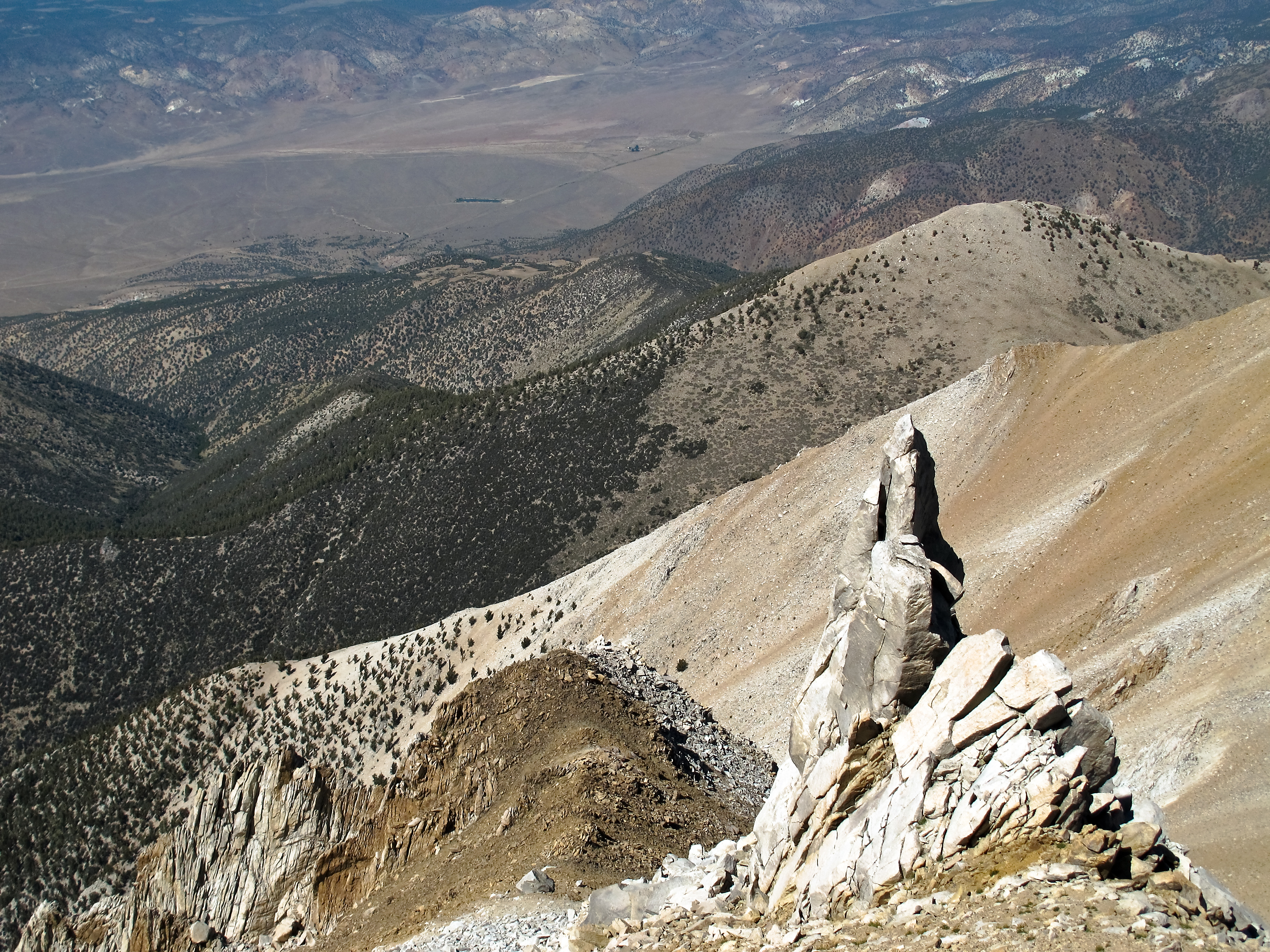
Montgomery Peak from Boundary Peak
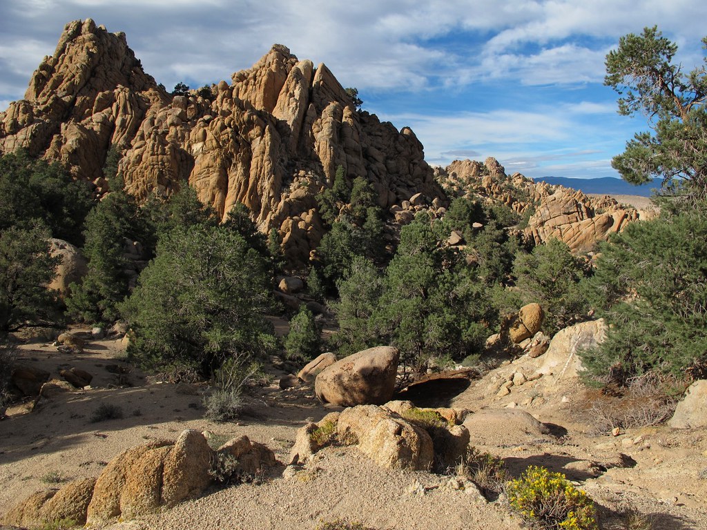
Pile-O-Rocks

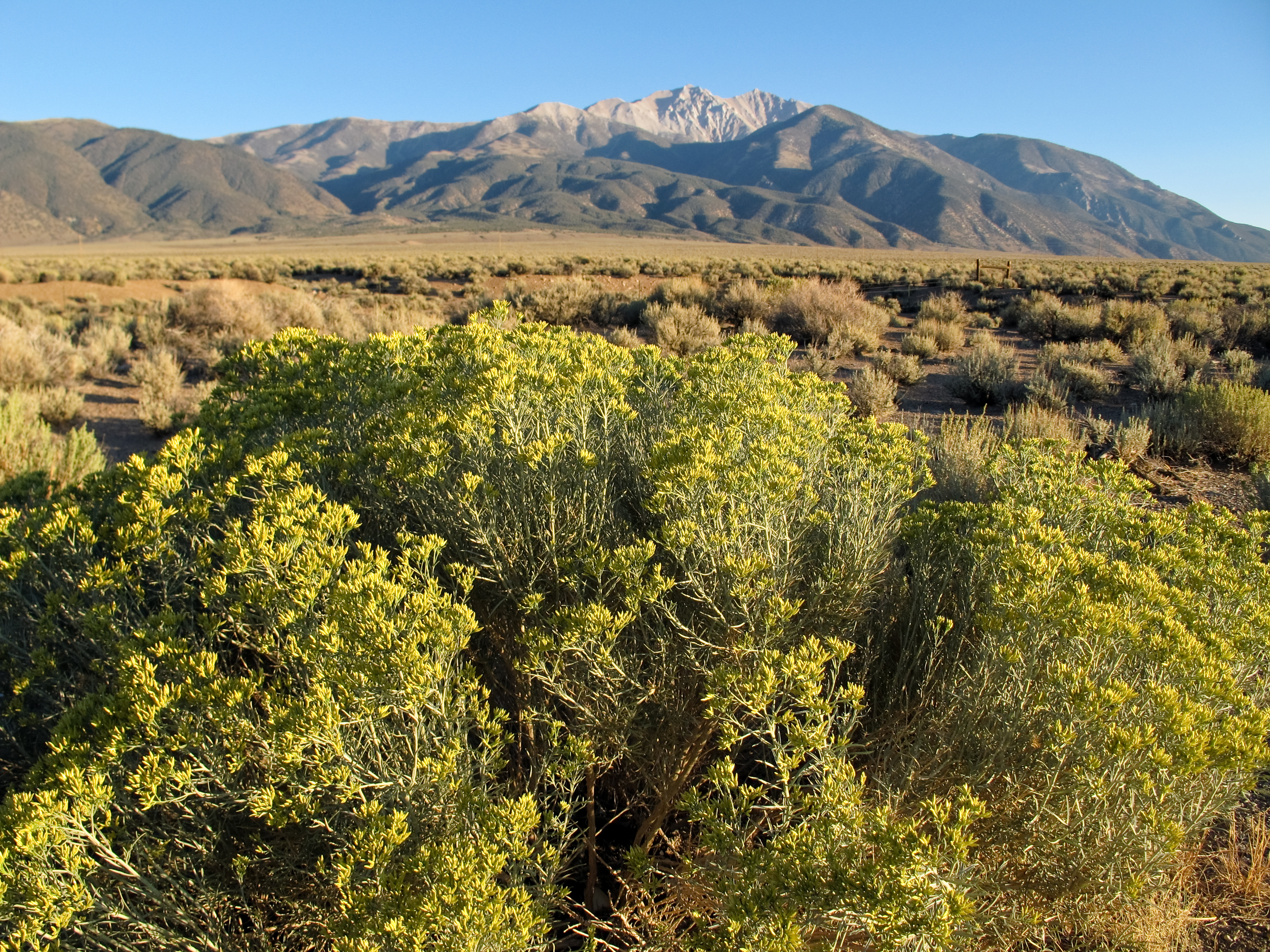
Boundary and Montgomery Peak

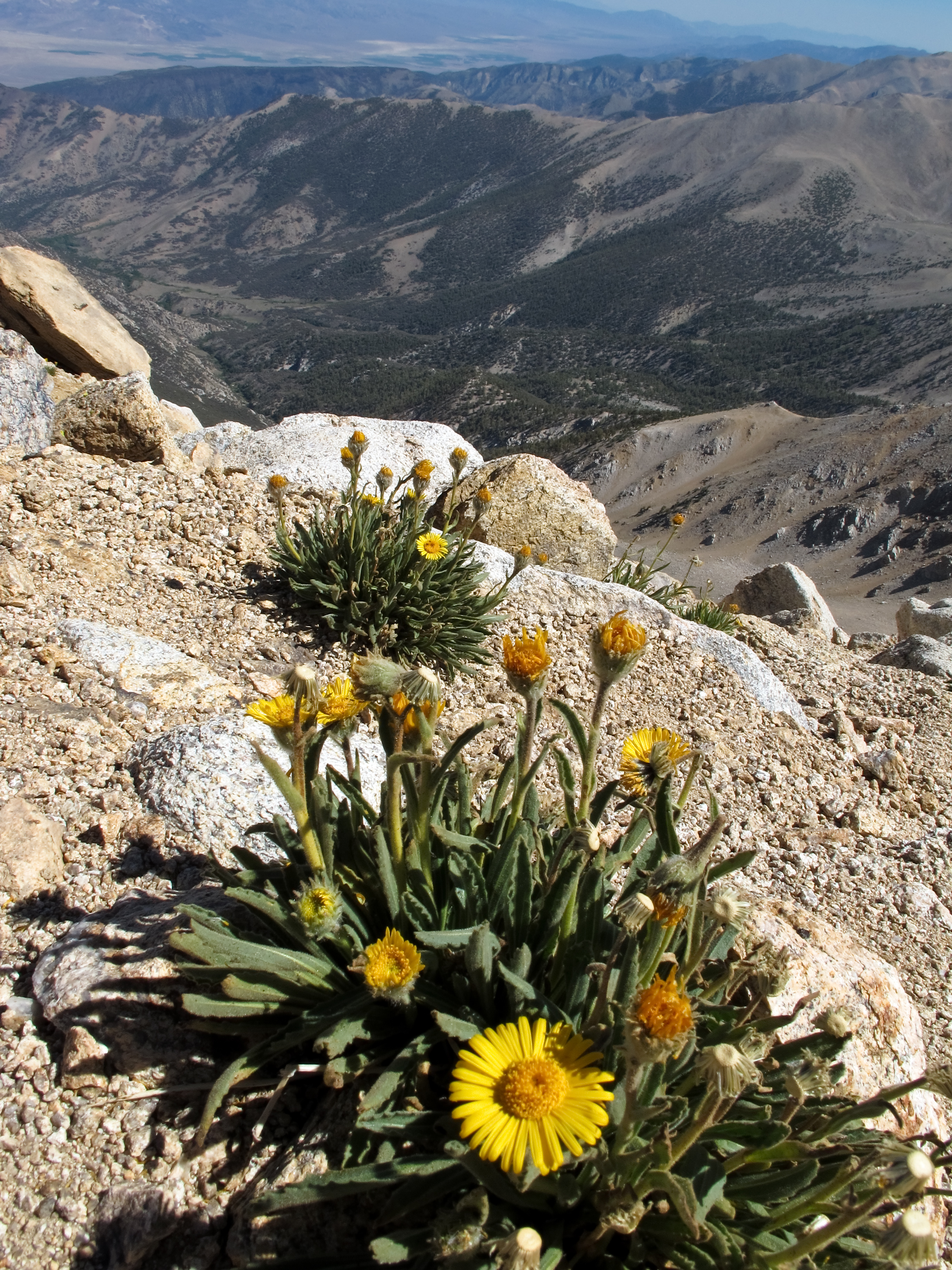
Montgomery Peak and alpine flowers
View west to California
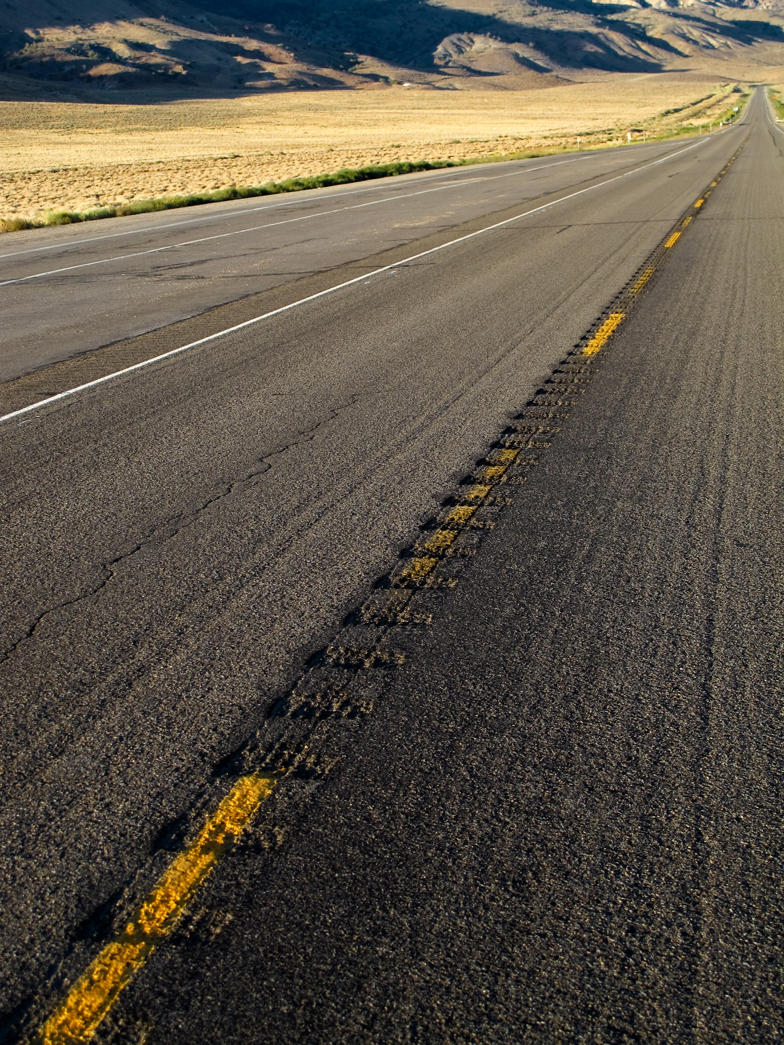
Lonesome Highway
Highway 6, Nevada

View east from Boundary Peak

View towards the Benton Valley
Boundary Peak's rugged western slopes

View north from Boundary Peak

View northeast from Boundary Peak

Alpine flowers on Boundary Peak
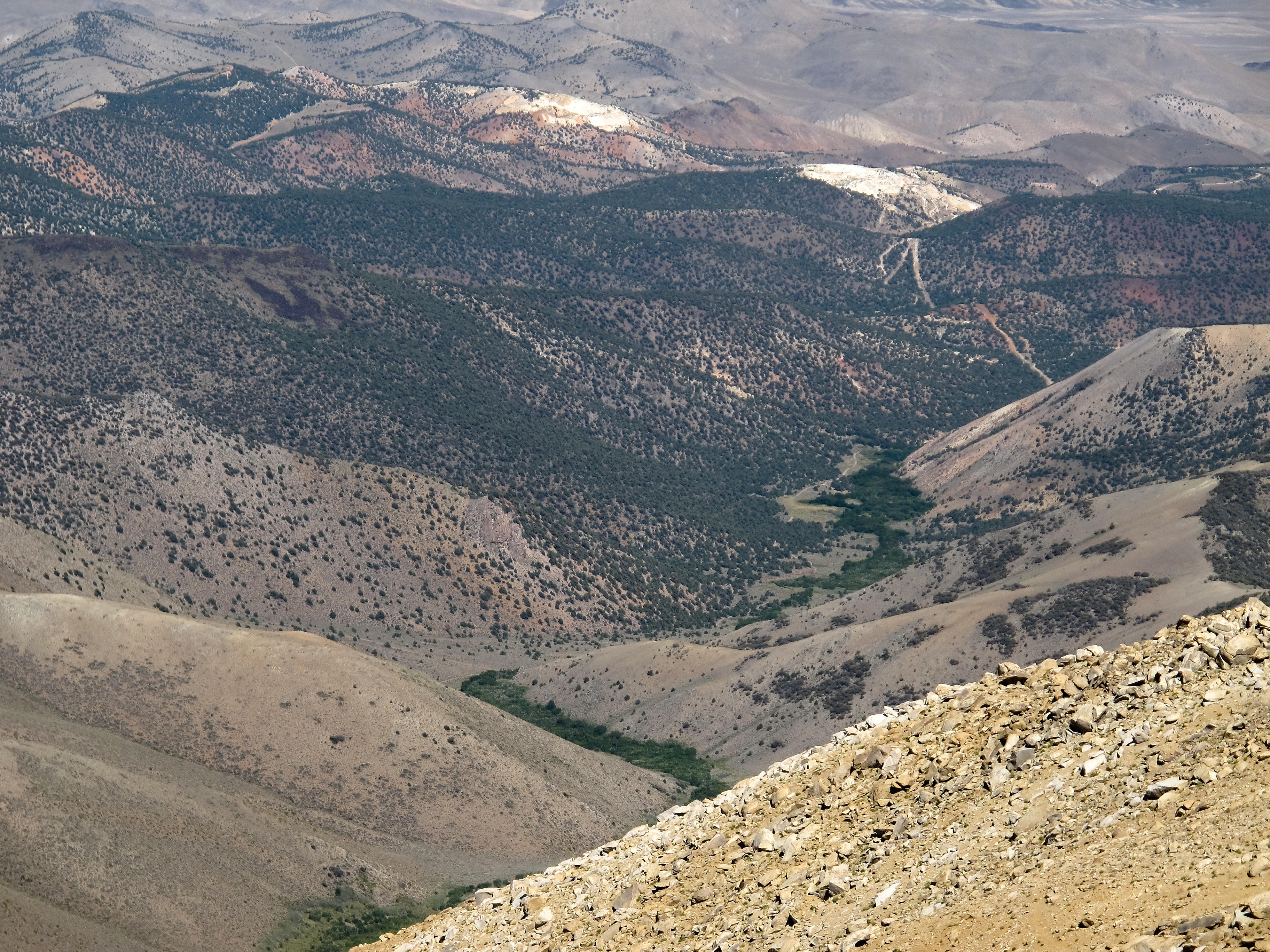
View down towards Trail Canyon
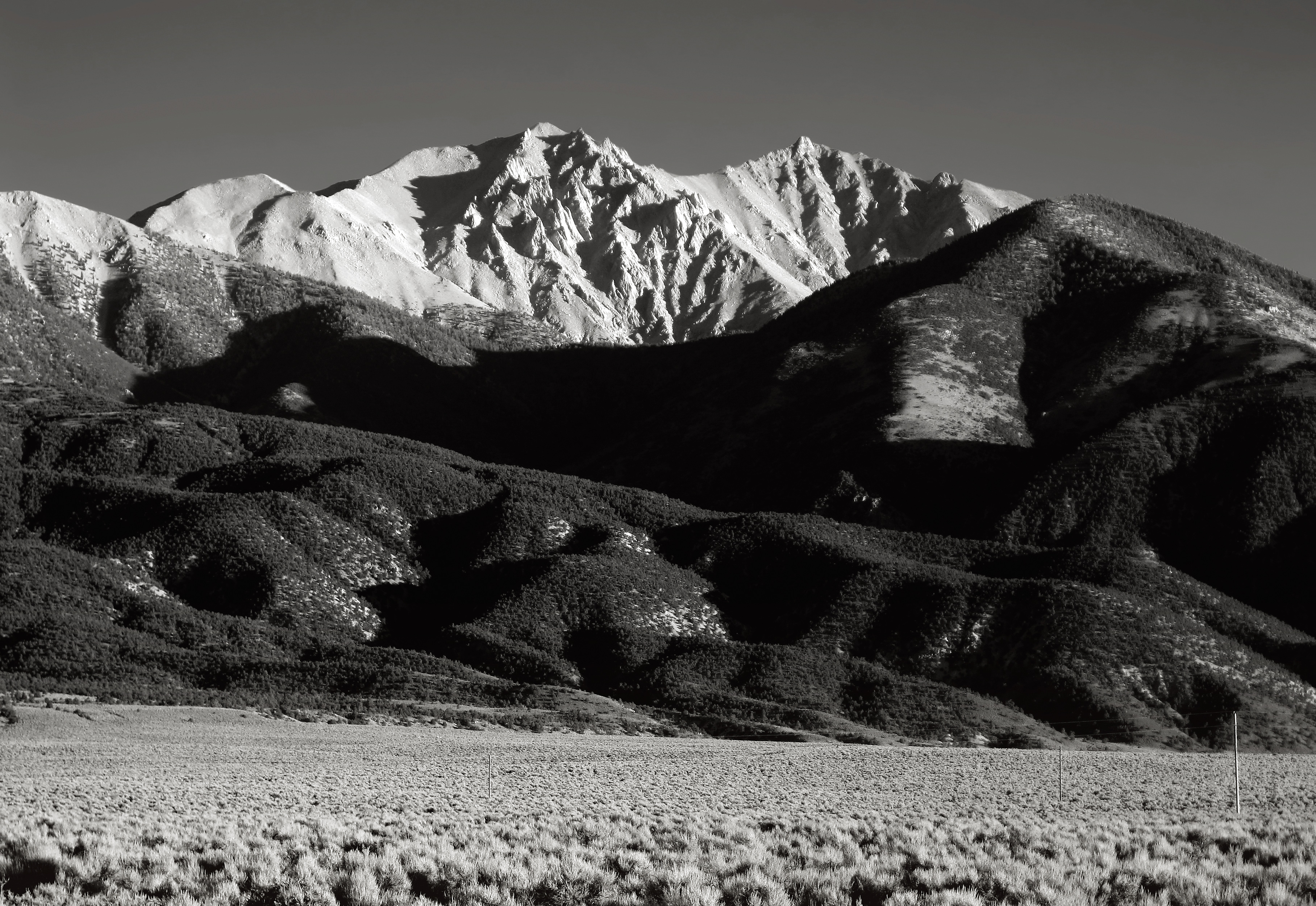
Boundary and Montgomery Peak from Hwy 6
Nevada afternoon
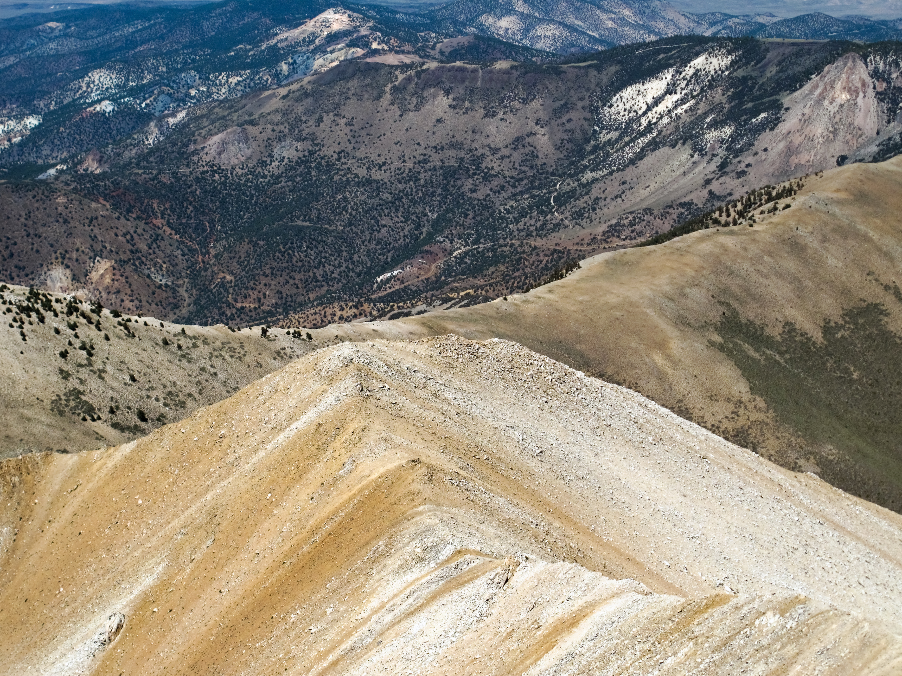
Boundary Peak ridge line

Gold Point 55
Growing up high

Trail Canyon with the Volcanic Hills beyond
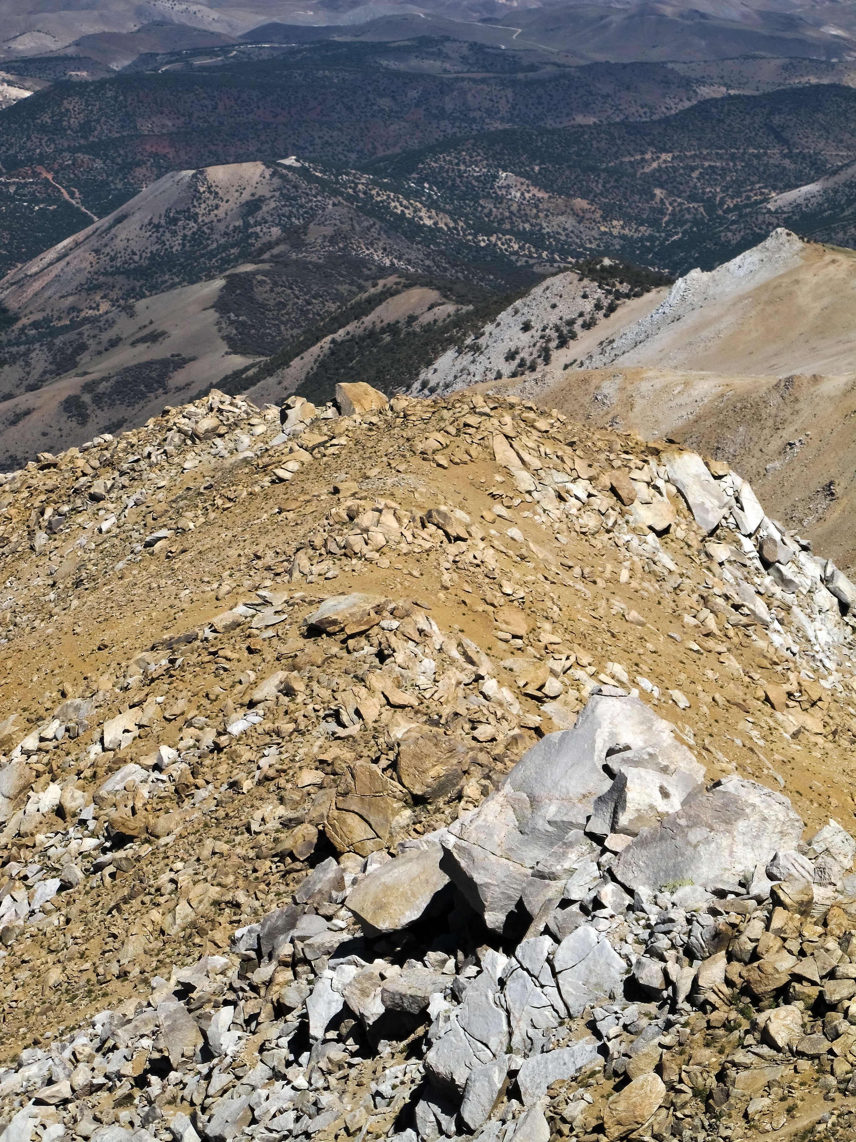
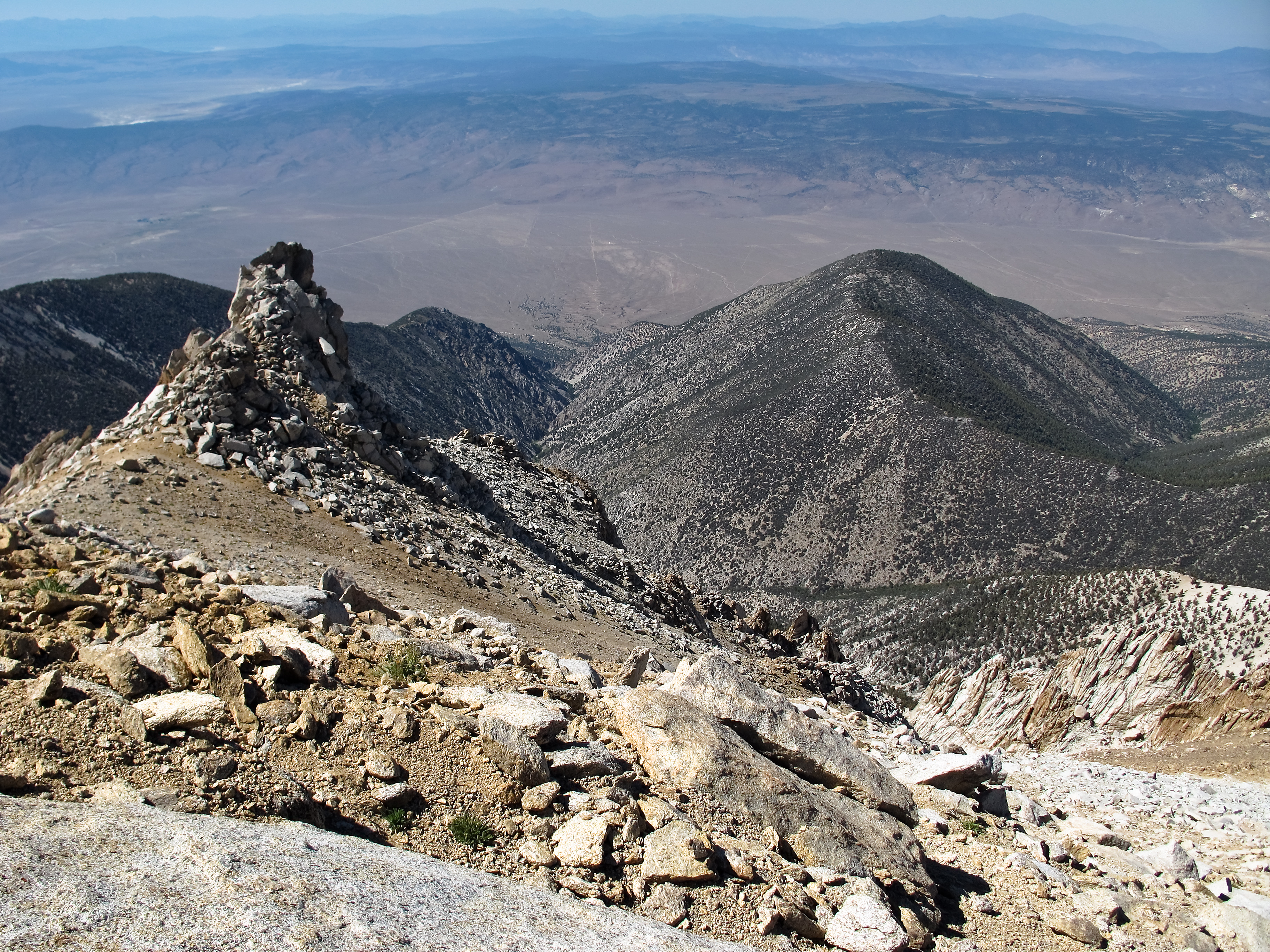
Looking down from Boundary
41 Christie Ln, Benton, CA, USA Map
Search another place
Near Places
Benton, CA, USA
CA-, Benton, CA, USA
Boundary Peak, Nevada, USA
Mount Dubois, Mt Dubois, California, USA
Hammil Rd, Bishop, CA, USA
White Mountain Peak, California, USA
Toms Place, CA, USA
Holiday Campground, Mammoth Lakes, CA, USA
Lake Crowley, California, USA
1 Cougar Run, Bishop, CA, USA
Swall Meadows, CA, USA
Aspen Spring Ranch Rd, Mammoth Lakes, CA, USA
S Landing Rd, Mammoth Lakes, CA, USA
Volcanic Tableland, California, USA
Piute Mountain, California, USA
Wheeler Crest, California, USA
Sheep Mountain, California, USA
Hot Creek, California, USA
Mesa, CA, USA
Mammoth Yosemite Airport, Airport Rd, Mammoth Lakes, CA, USA
Recent Searches
- Sunrise Sunset Times of Nedre Storvollen, Kvaløysletta, Norway
- Sunrise Sunset Times of Unnamed Road, Respublika Severnaya Osetiya — Alaniya, Russia
- Sunrise Sunset Times of Herbage Dr, Gulfport, MS, USA
- Sunrise Sunset Times of Pointe-au-Père, Rimouski, QC, Canada
- Sunrise Sunset Times of -, Japan
- Sunrise Sunset Times of Wyndham Grand Barbados Sam Lords Castle All Inclusive Resort, End of Belair Road, Long Bay, Bridgeto
- Sunrise Sunset Times of Satsugeki, Japan, 〒- Hokkaido, Sapporo, Chuo Ward, Minami 2 Jōnishi, 5-chōme−6−1 狸小路5丁目内
- Sunrise Sunset Times of Feixiang District, Handan, Hebei, China
- Sunrise Sunset Times of Hefei High-Tech Dev Zone CMC, Shushan District, Hefei, Anhui, China
- Sunrise Sunset Times of Longfeng Fishing Harbor, No. 15號, Lane, Longjiang St, Zhunan Township, Miaoli County, Taiwan